BC’s Okanagan Valley
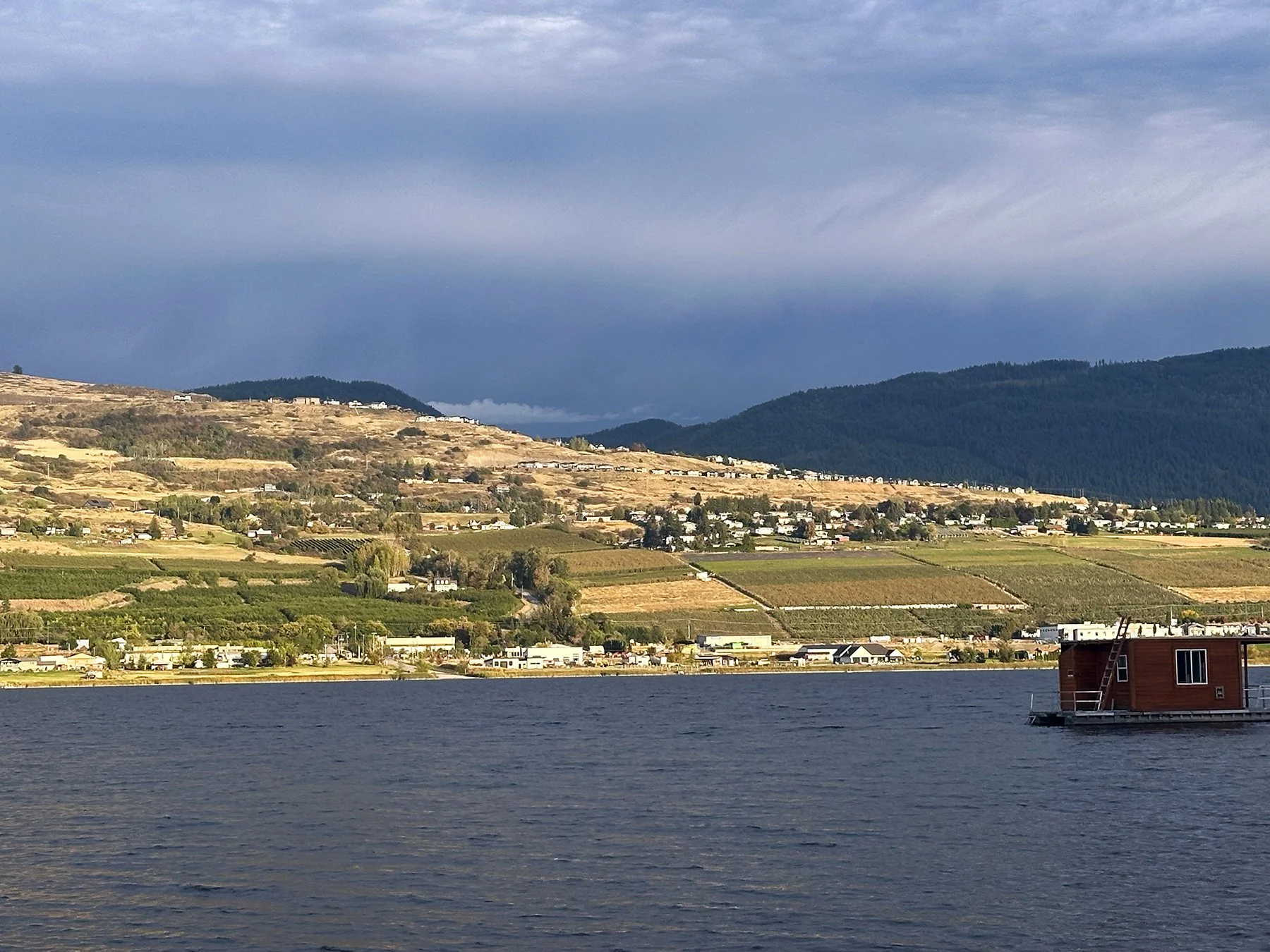
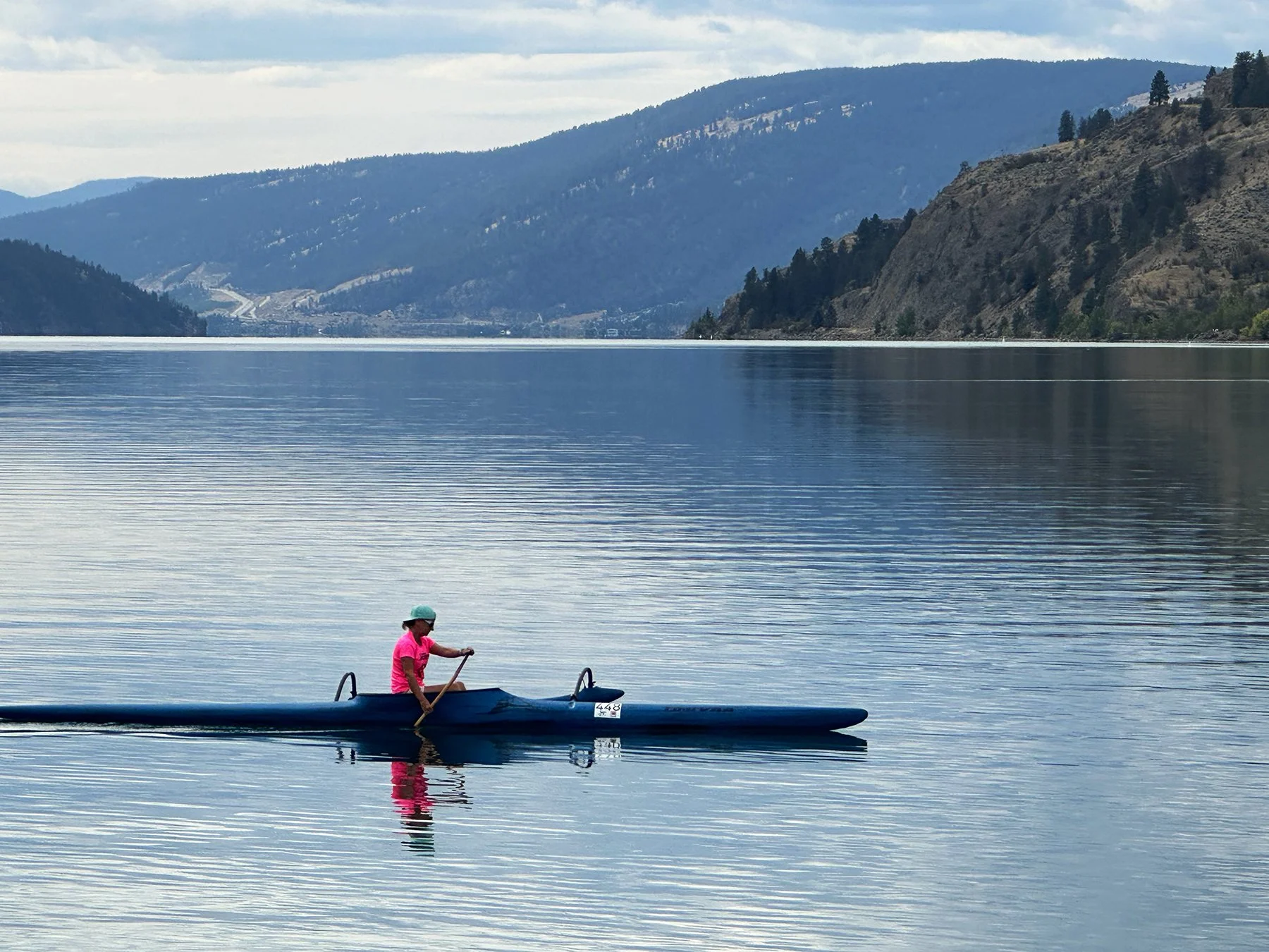
What a pleasure it has been to spend a couple of weeks in the Okanagan Valley, which sits in the southern interior region of British Columbia. Okanagan Lake is the centerpiece of the valley—it is a massive, deep glacial fjord lake framed by sun-soaked vineyards, pine-covered hills, and sandy beaches. While it feels gigantic if you’re standing on its shores, I was surprised to discover that it doesn’t even make the top 100 list among the top largest lakes in Canada.
Swan Lake/Vernon
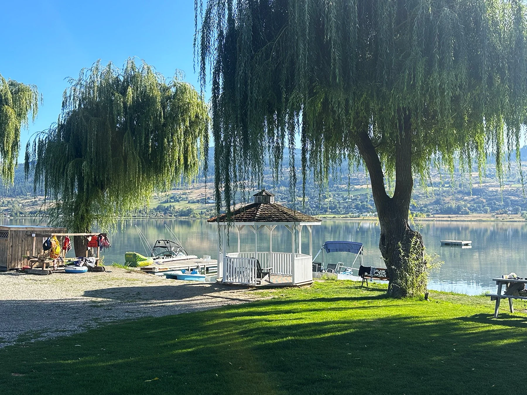
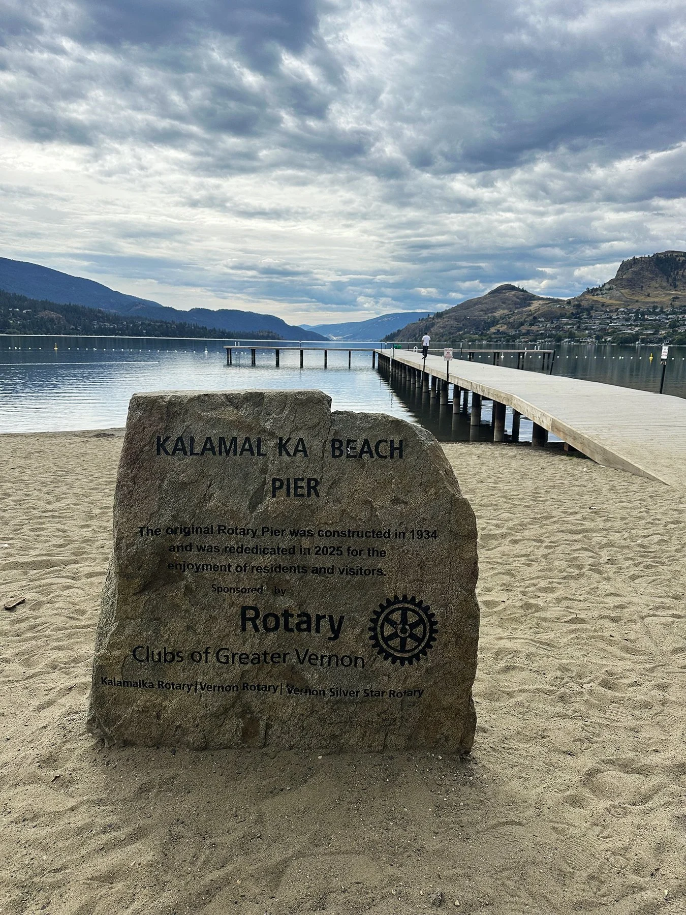
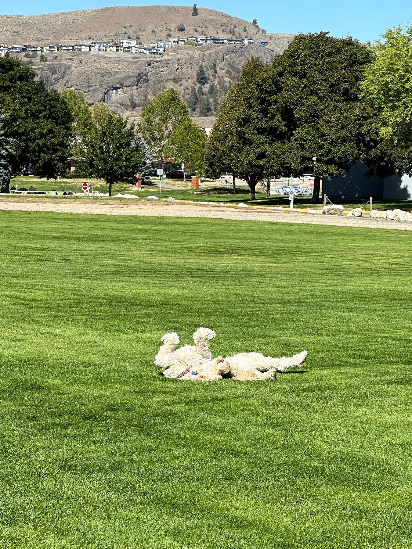
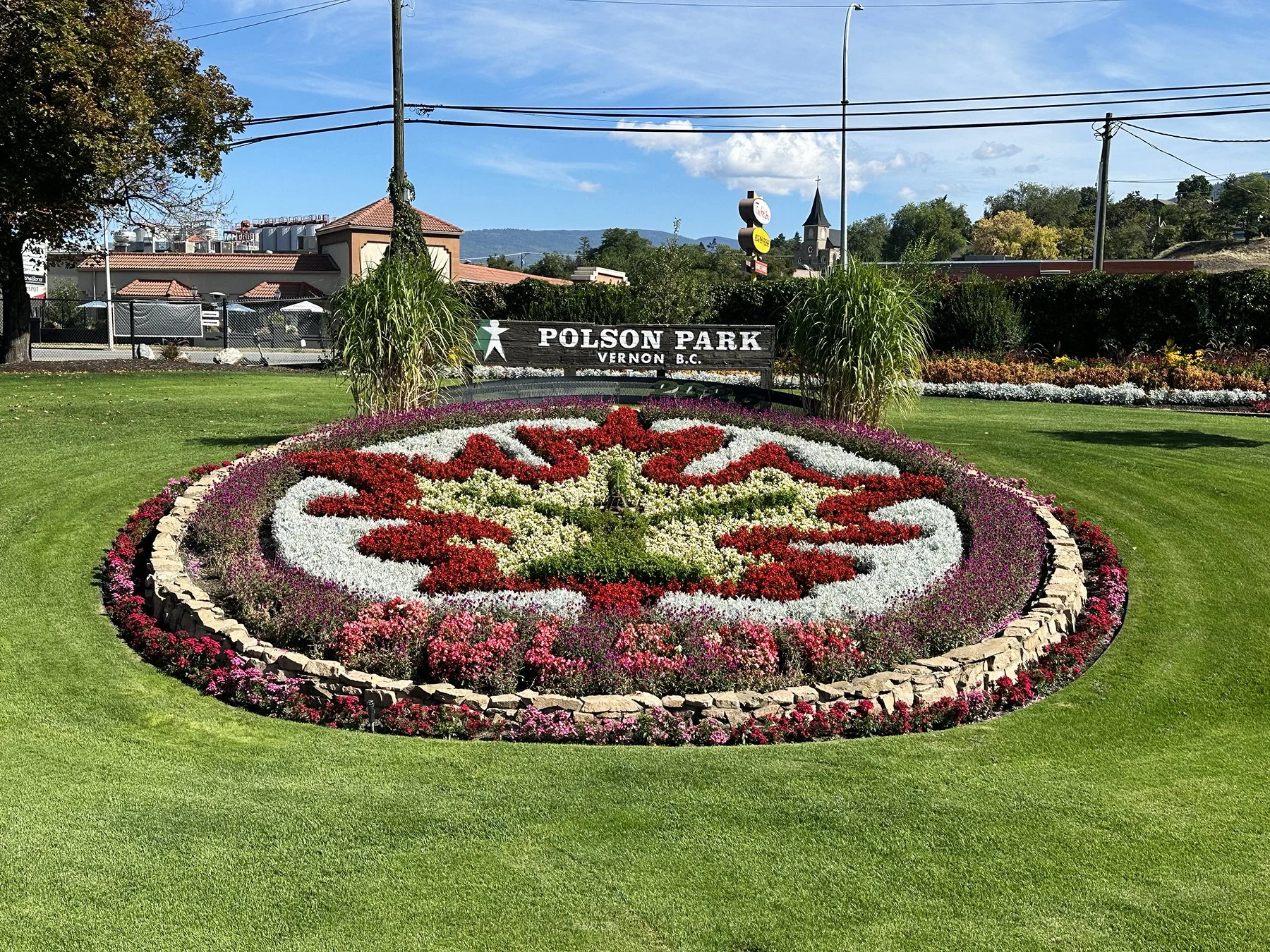
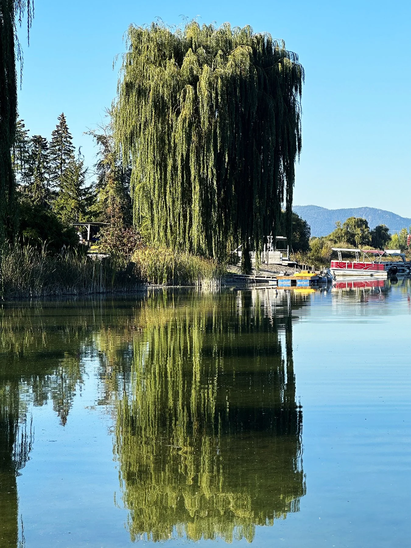
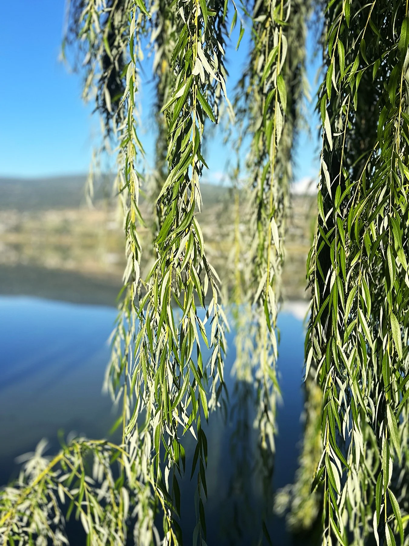
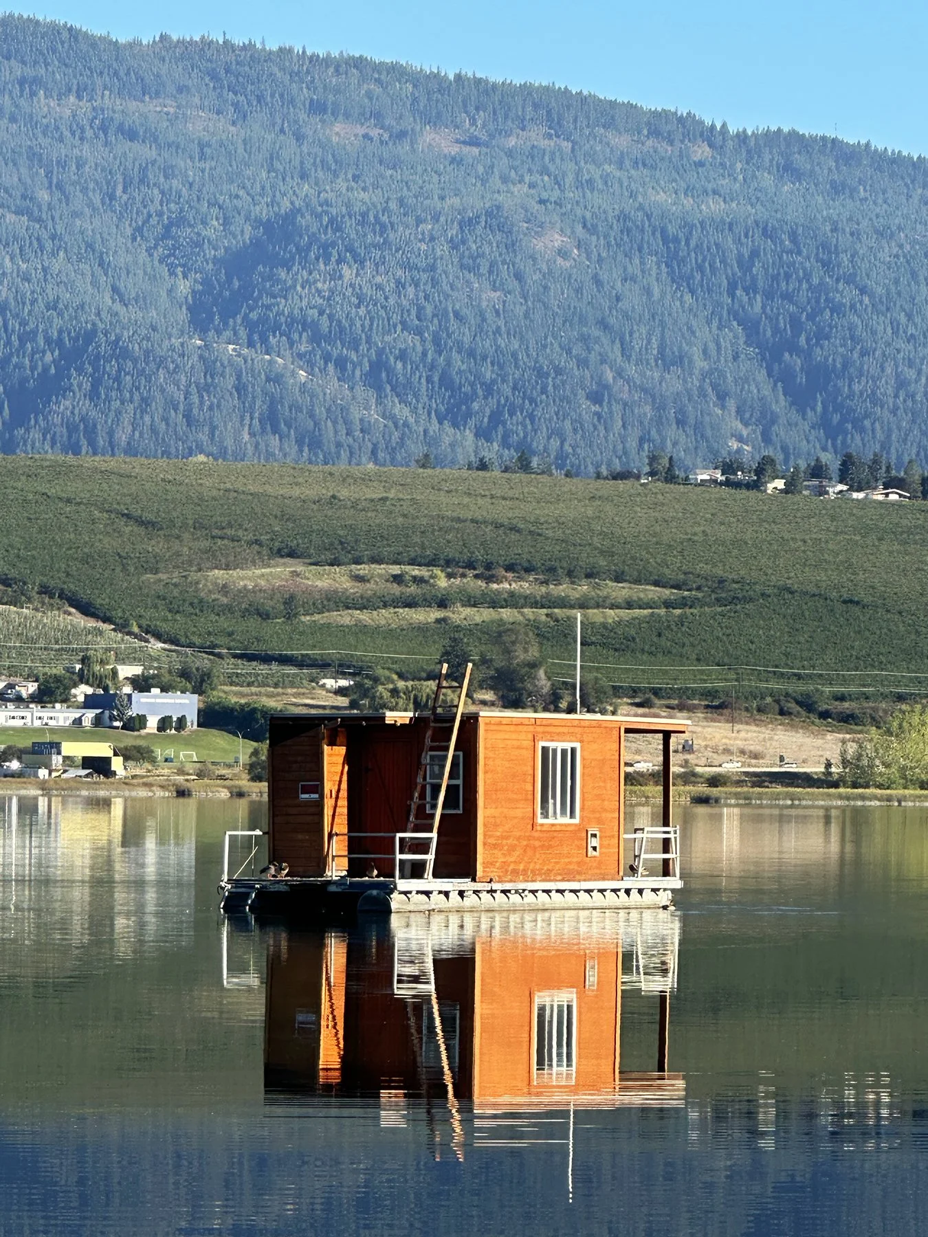
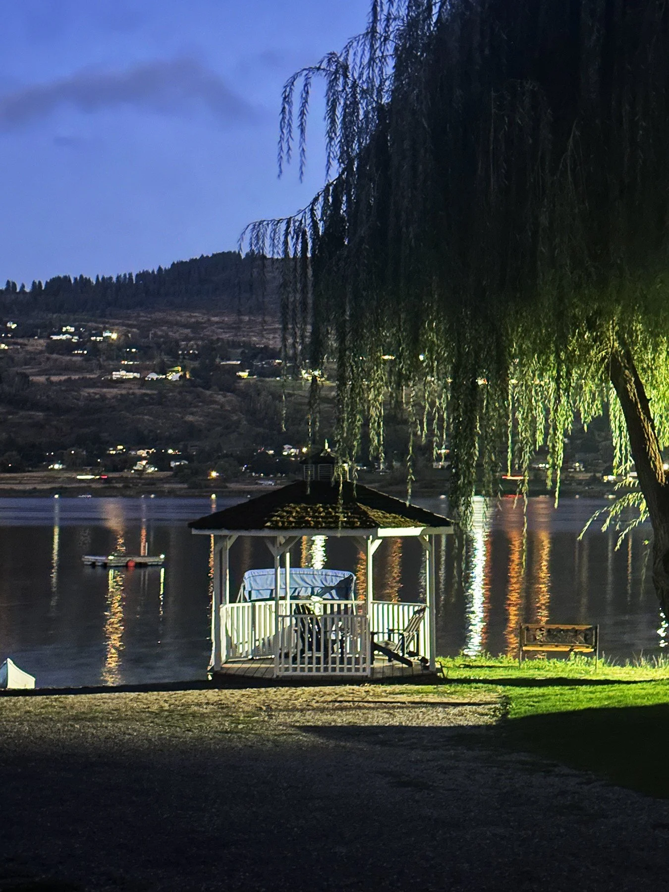
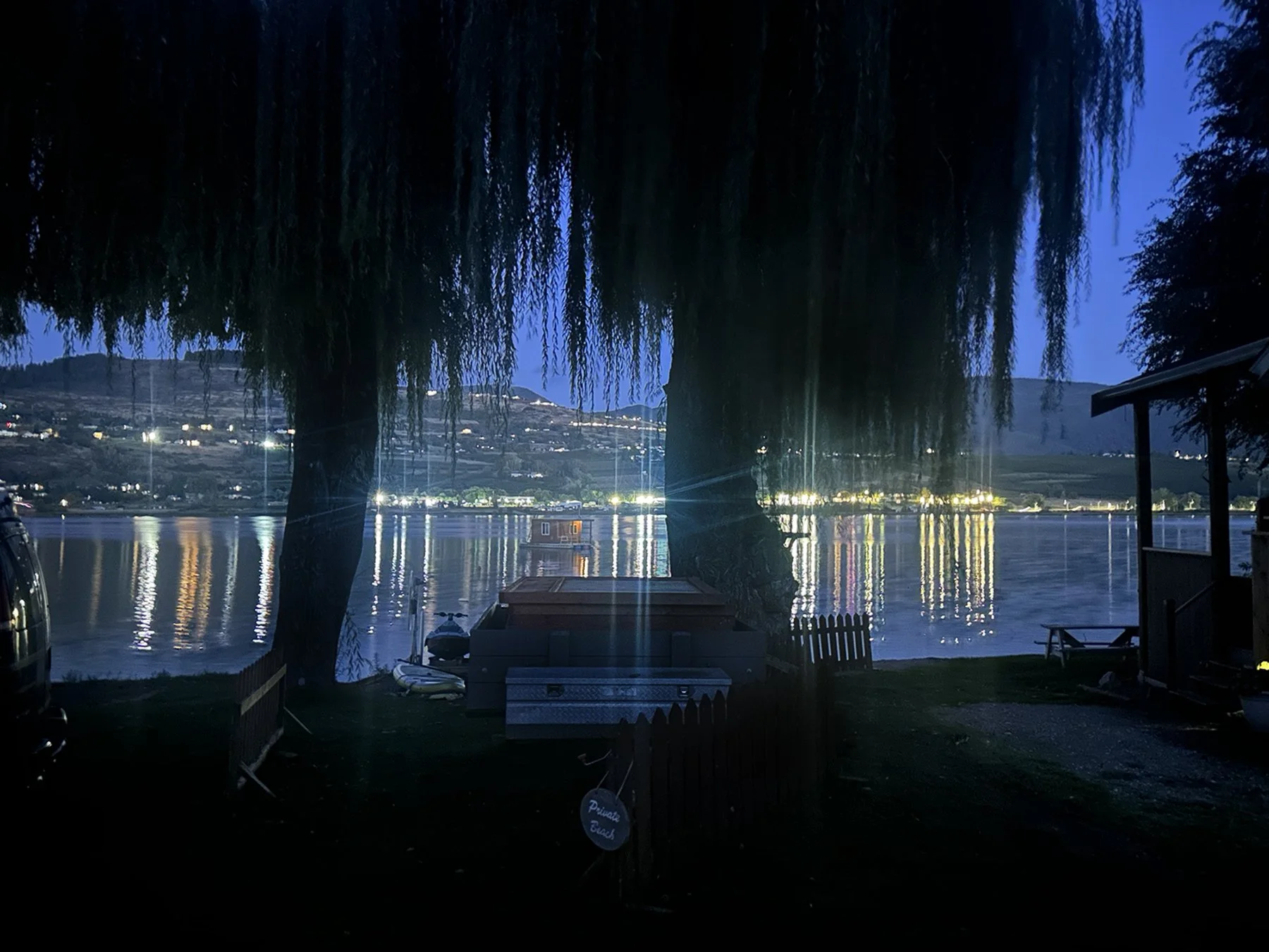
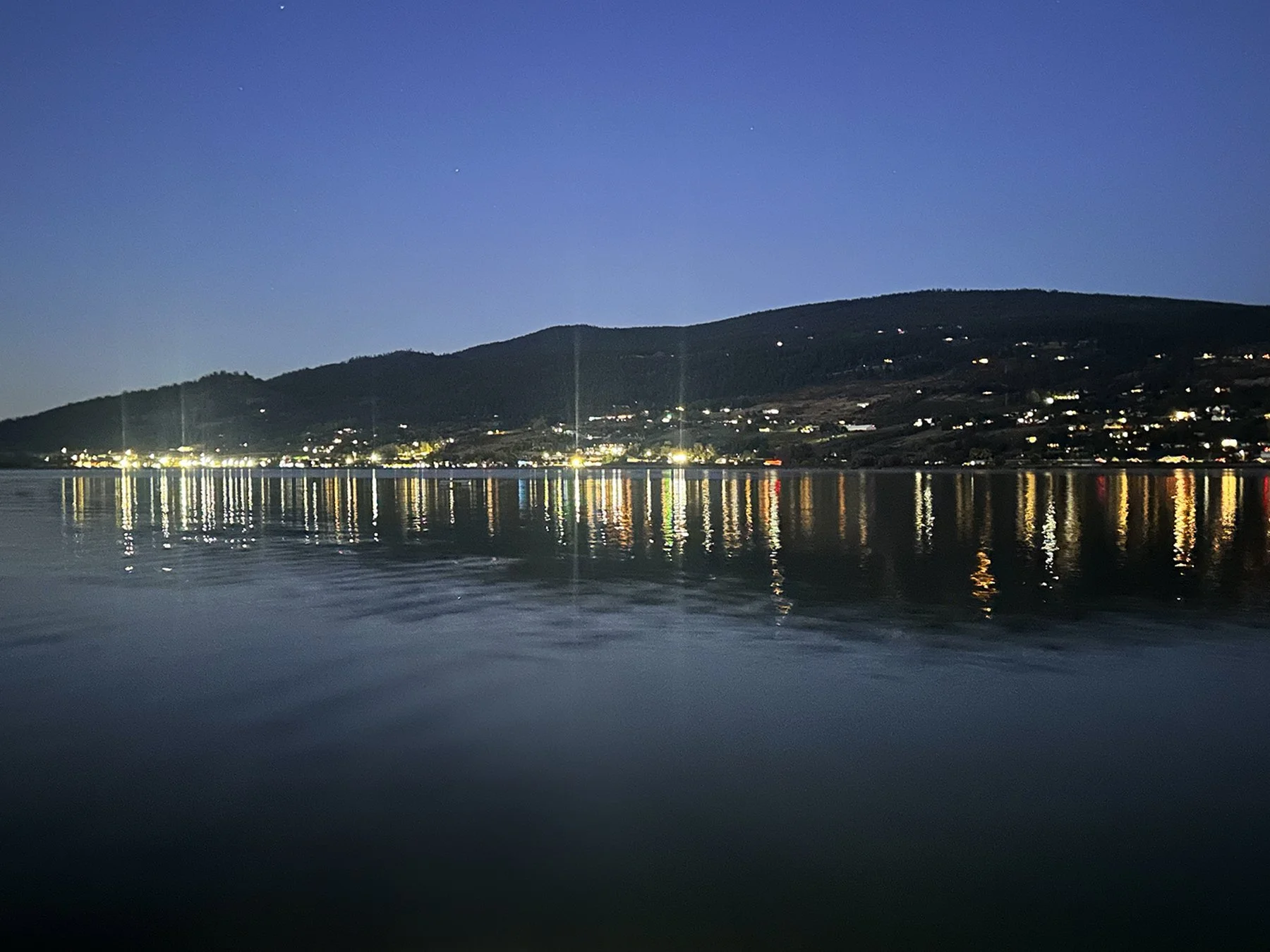
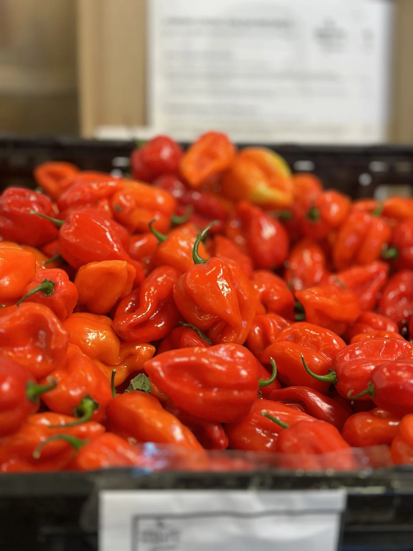
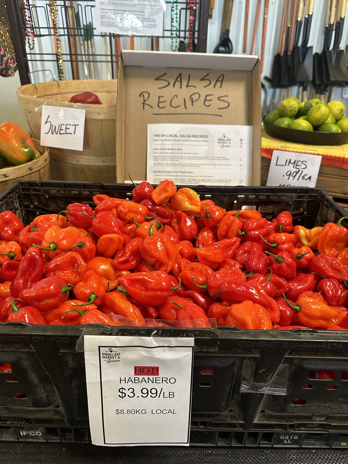
We began our stay in the region at a charming little RV park on Swan Lake. (Yes, Swan Lake!) We discovered a wonderful market there; rather like a mid-size grocery store with almost all local products. I did have to chuckle when they posted a recipe for salsa near the Habanero peppers! It’s not Texas, that’s for sure. It was a pretty peaceful week, all things considered. EXCEPT for that little ole’ football game between Texas and Ohio State that Saturday night! The temps were cool enough to have all the windows open, and I’m sure the other campers were wondering what the whooping and hollering was all about; afterall, it’s not quite hockey season yet, don’tchaknow?! (Or is it? I have no idea LOL.)

Peachland
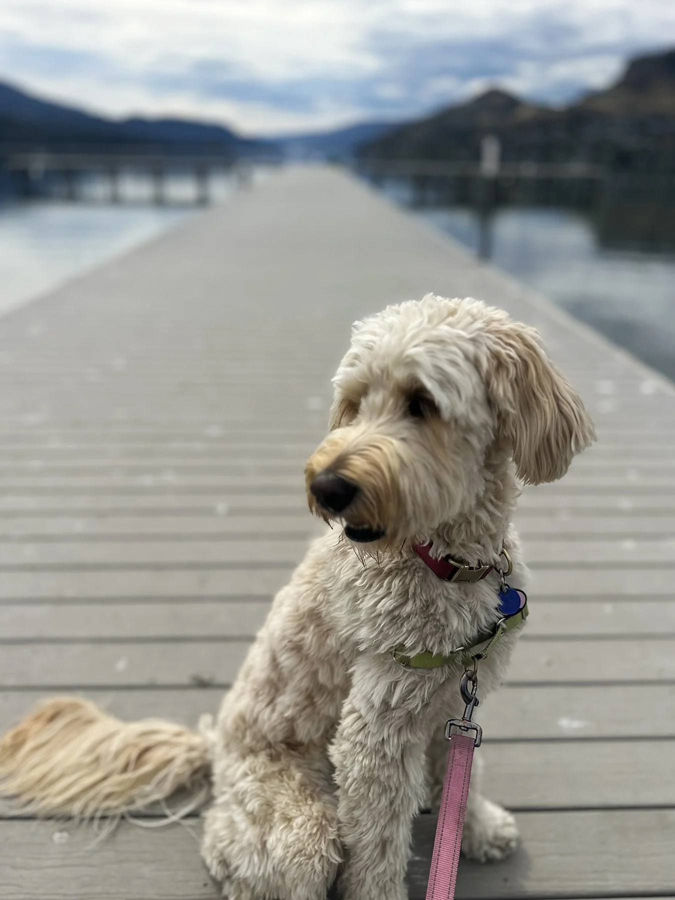
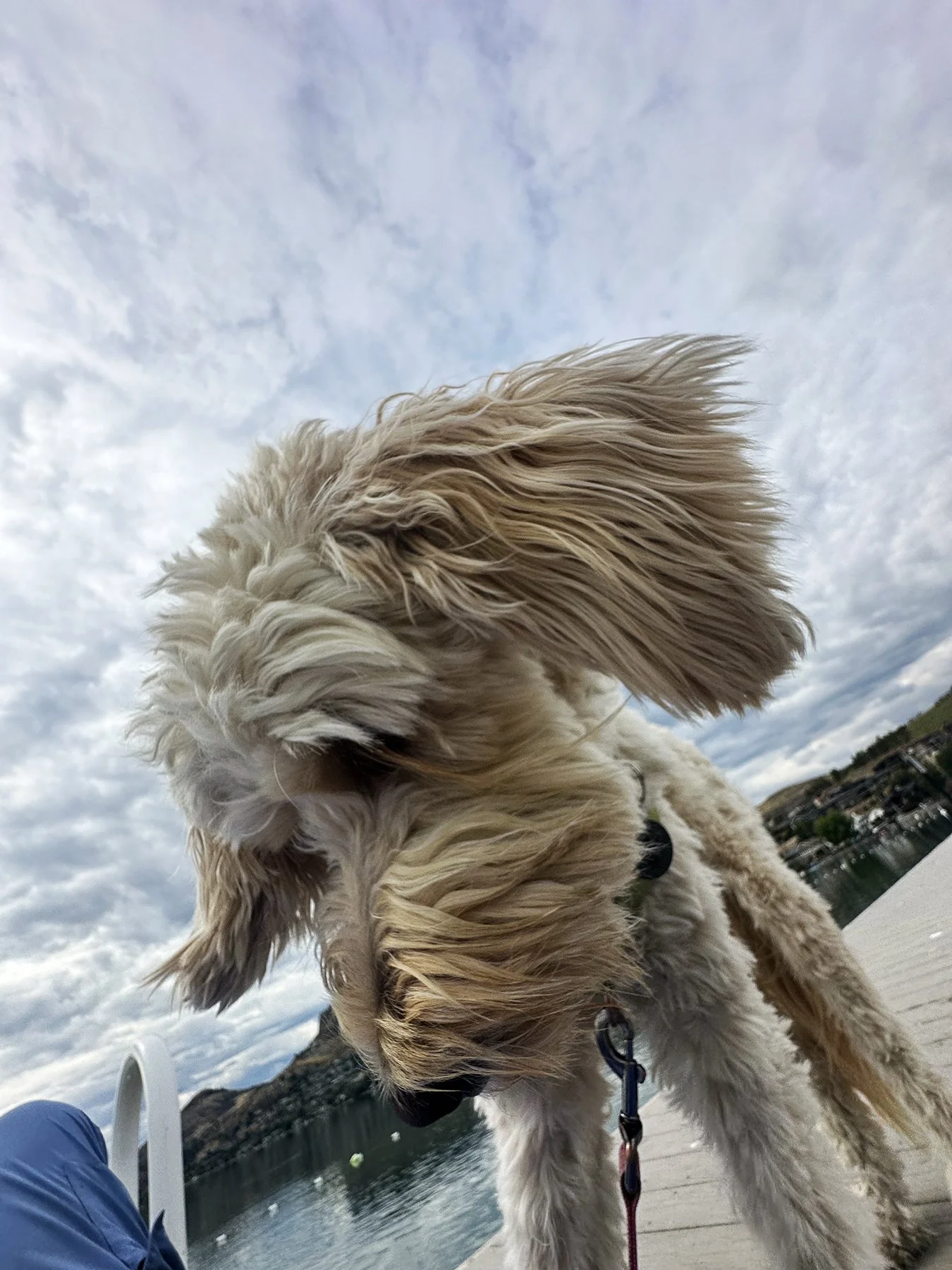
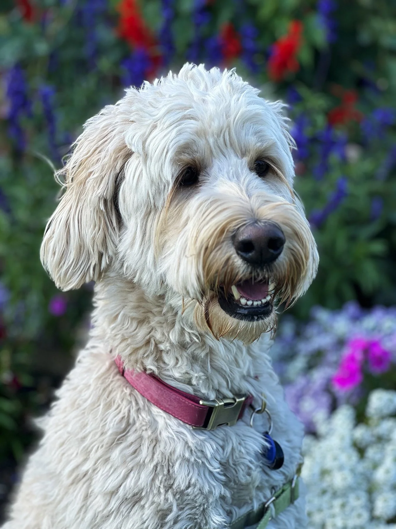
After a week at Swan Lake, we headed down to a charming lakeside town called Peachland, nestled on the steep western slopes of Okanagan Lake (and I mean STEEP!). I wanted to do a bit more hiking, so Maisie and I headed out toward Pincushion Mountain Park our first full day there. I decided to walk up from the village to what I thought was ‘just a park with some hiking trails’ (as you may know by now, sometimes I just wing it instead of putting in a full-research effort :-). About half-a-mile from our campsite, we started up Ponderosa Drive, which is about 1.7 miles of winding switchbacks with an elevation gain of about 738 feet. It was actually a great hike, particularly since it was on a solid surface without drastic elevation gains! Thinking we’d head up the actual trail from the end of Ponderosa, we stopped and rested a sec and drank some water.
Maybe I should’ve done a little research on the hiking trail itself. I mean, the sign at the trailhead said this ‘unmaintained Crownland trail’ was just about 1-1/4 miles each way. No big, right? But the elevation gain was another 831 feet! Do the math, Mary. We headed up the rocky dirt path. My legs were already a little tired from the hike just to get there, but I was game … until we got about 35 feet up the path. Didn’t take much for me to say, “Nope! Not today!” Good call. I decided we’d come back in a couple of days, and DRIVE up to the trailhead, and then tackle the mountain hike.
So we returned Sunday afternoon. Sunny with temps in the lower 70s. Happy dog tagging along. Bohemian Rhapsody playing on my AirPods. What could be better?
Even though I took it slow-ish, the trail was a bit treacherous in spots. Slippery from the dirt and rocks and big inclines. No flat areas; just all up, up, up. Heart pounding from time to time, trying to utilize oxygen. I did have to promise myself that if I got to a point where I felt light-headed or dizzy or nauseous, that I would stop and turn around. Well, about 0.79 miles up, I got to that point. I stopped and leaned back against a tree to get my bearings. To be sure, former Mary would have powered through. But I don’t wanna be a rescue story on the news! LOL. So rather than feeling bad about not being able to make it, I decided to pat myself on the back for doing the right thing and turning around. And was still rewarded with these views:
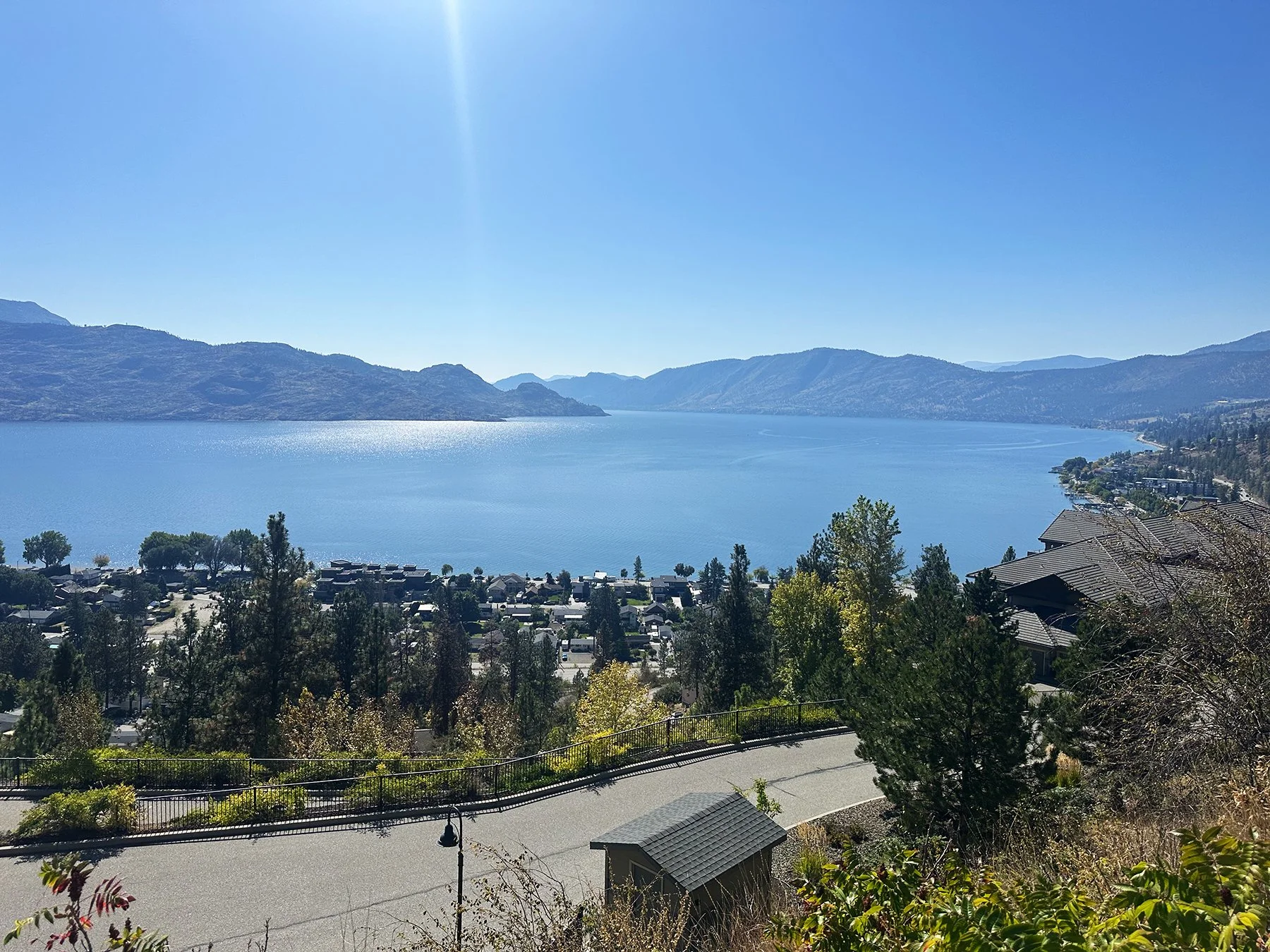
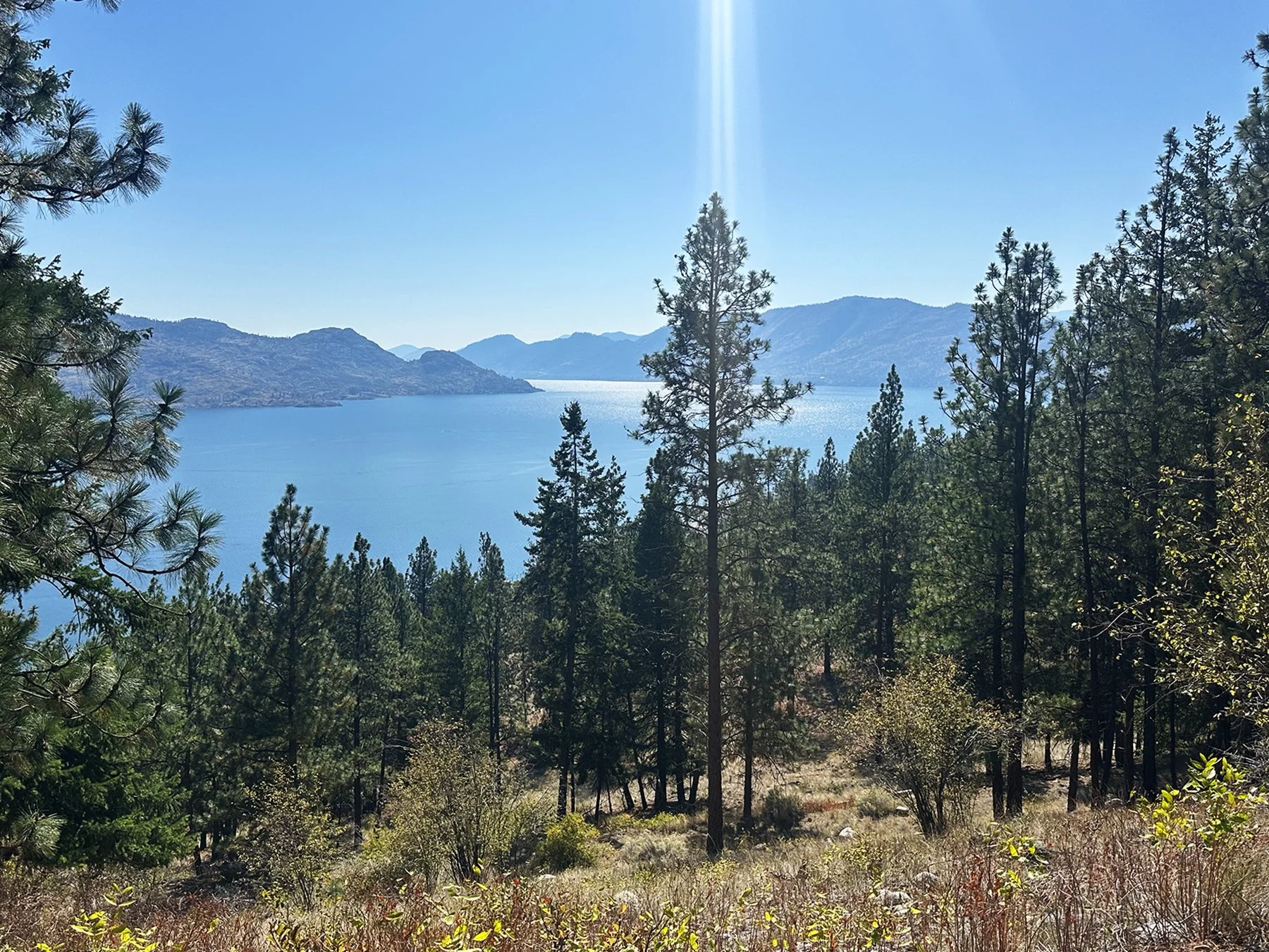
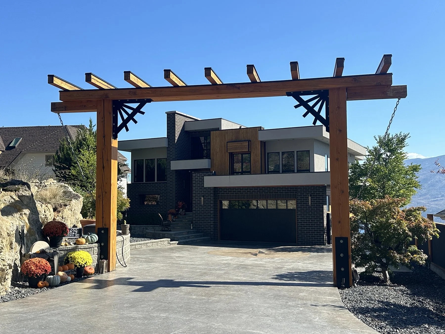
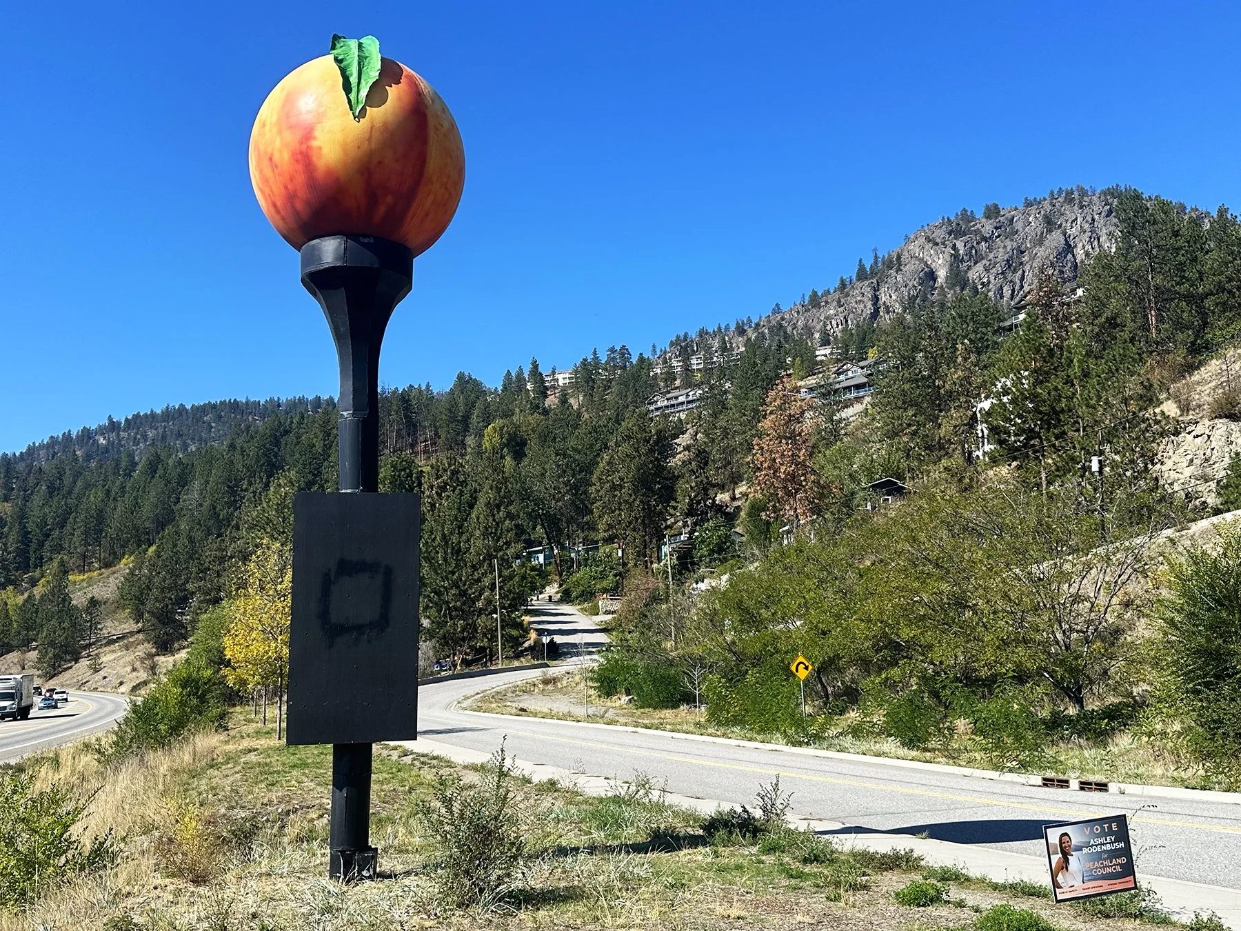
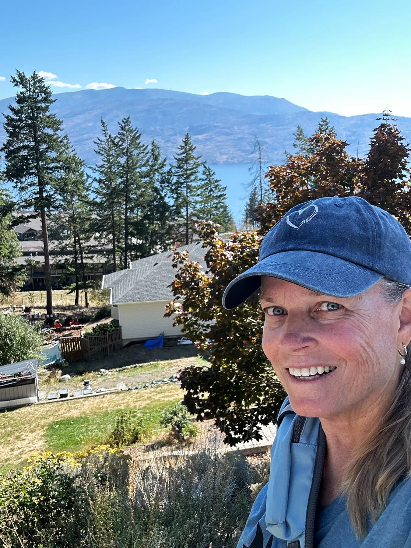
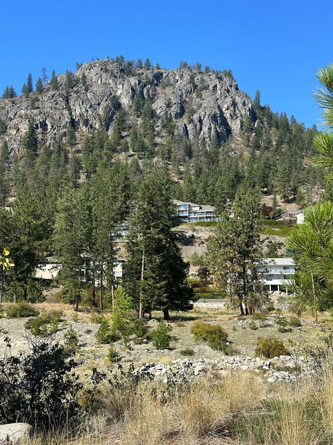
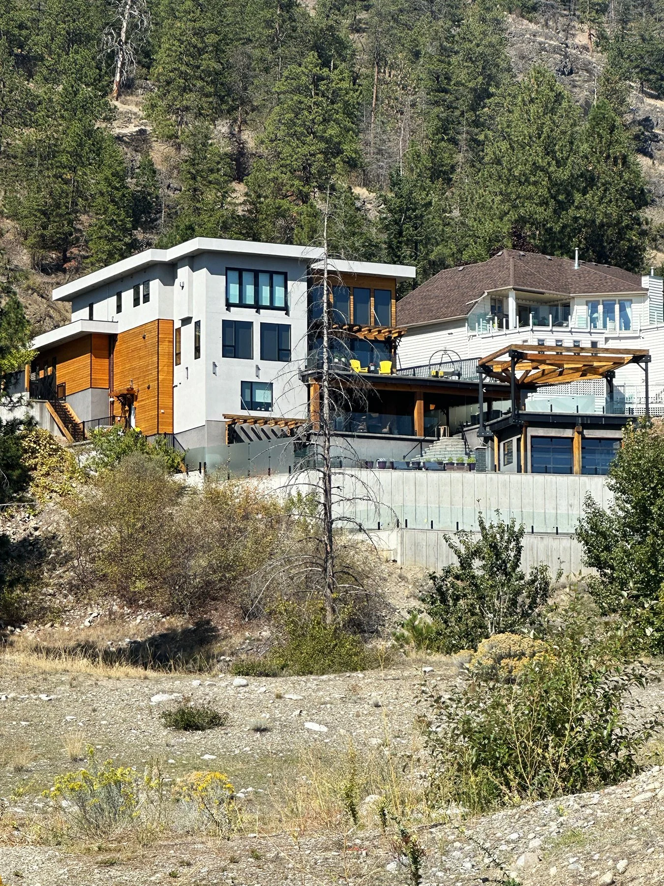
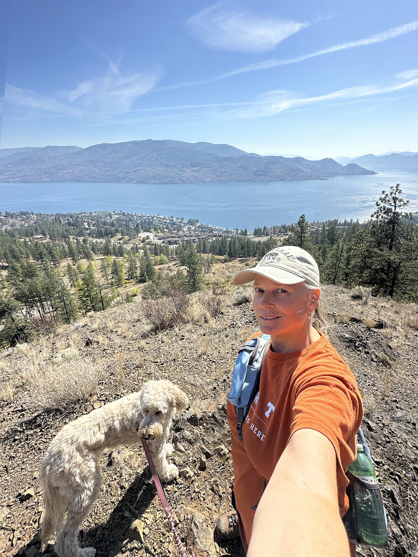
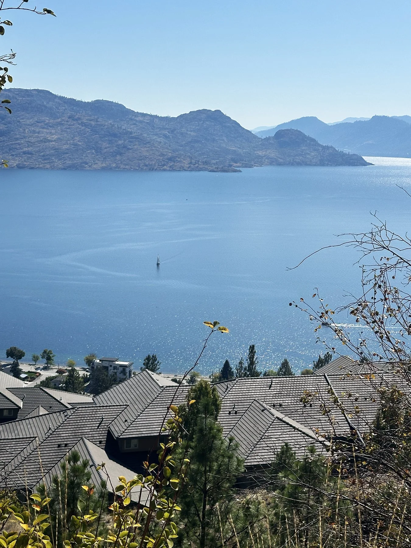
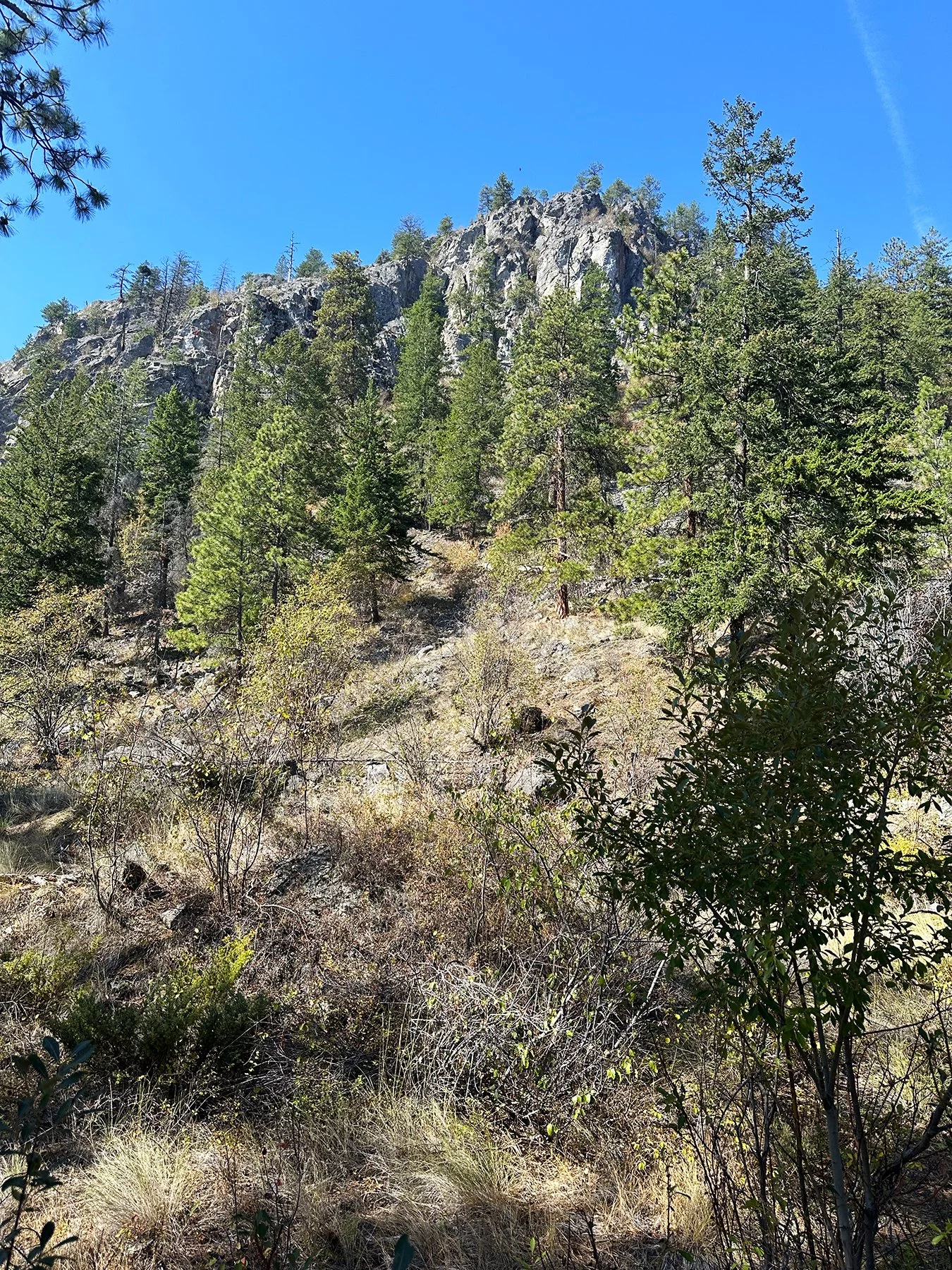
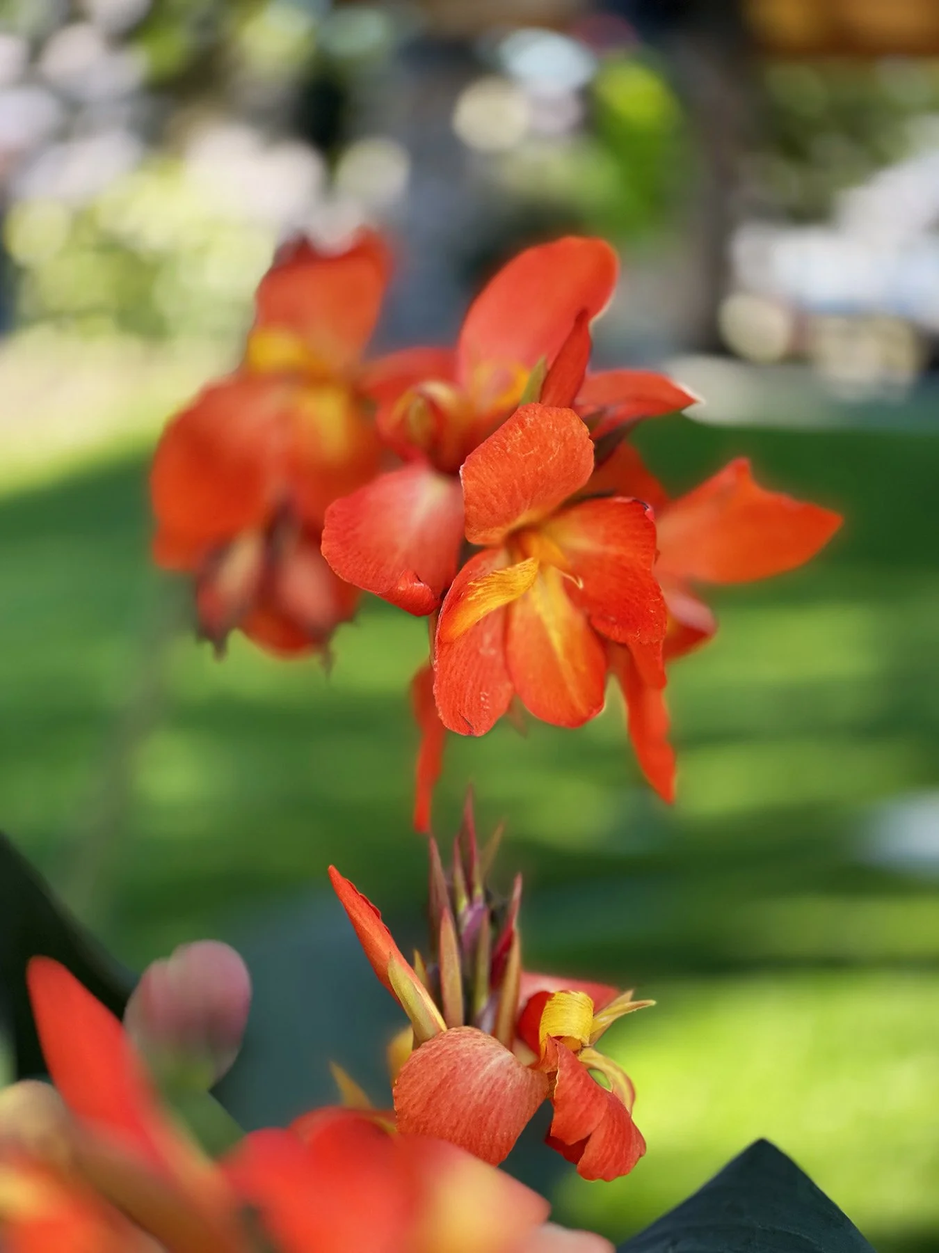
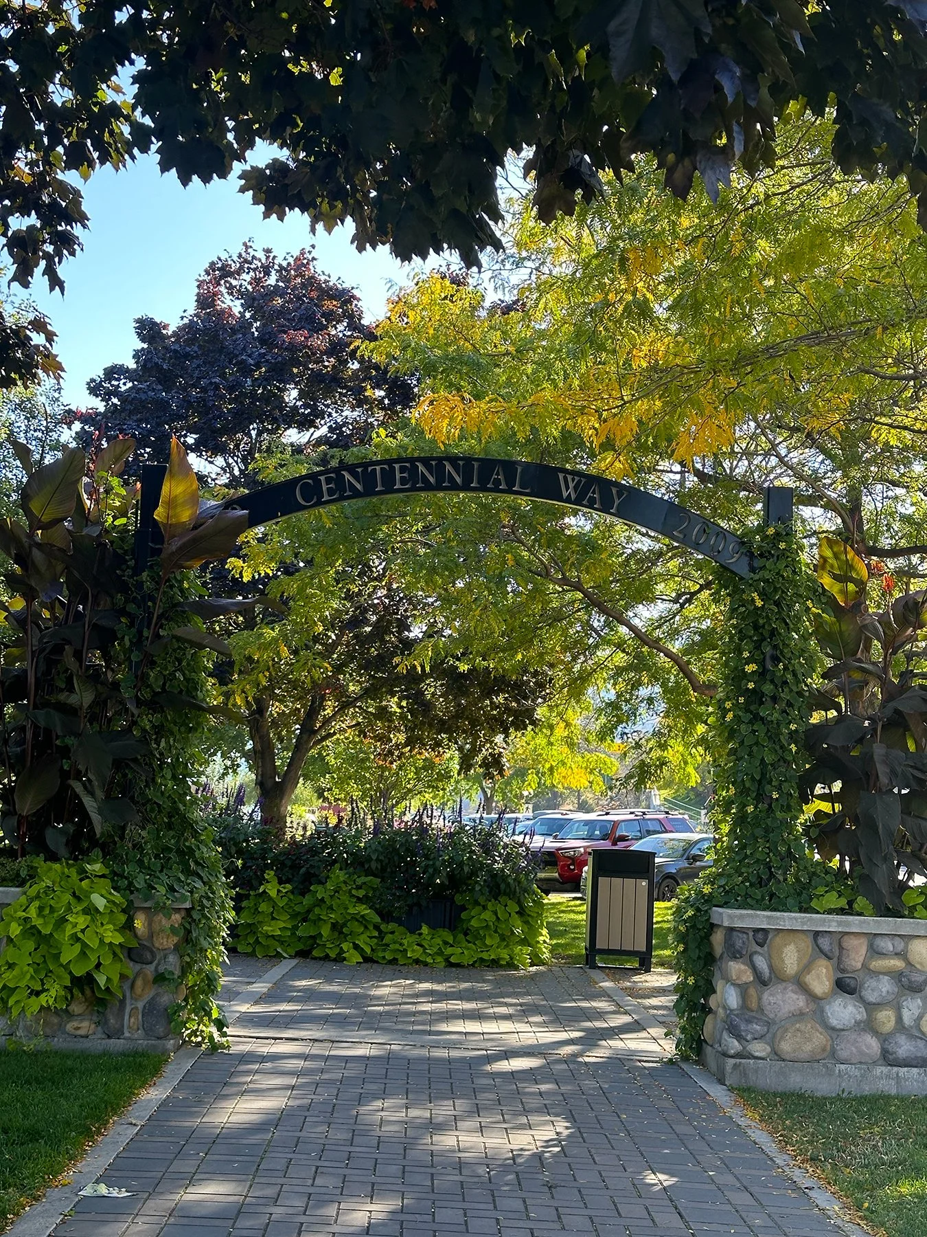
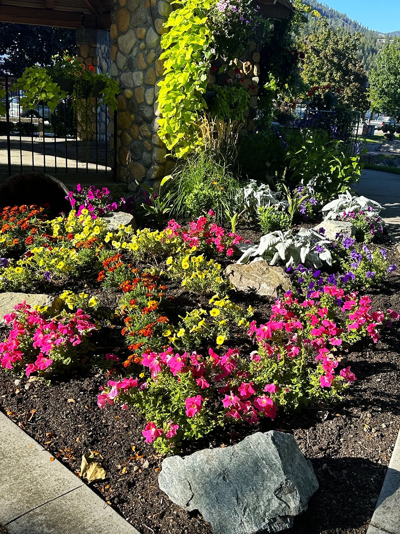
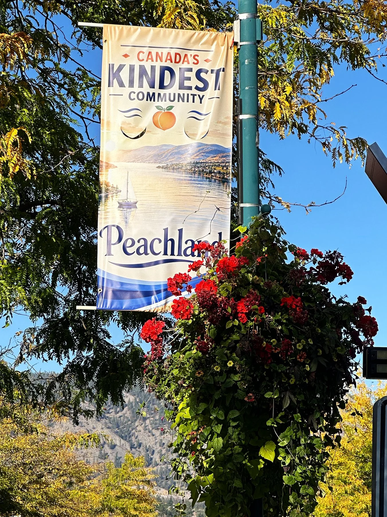
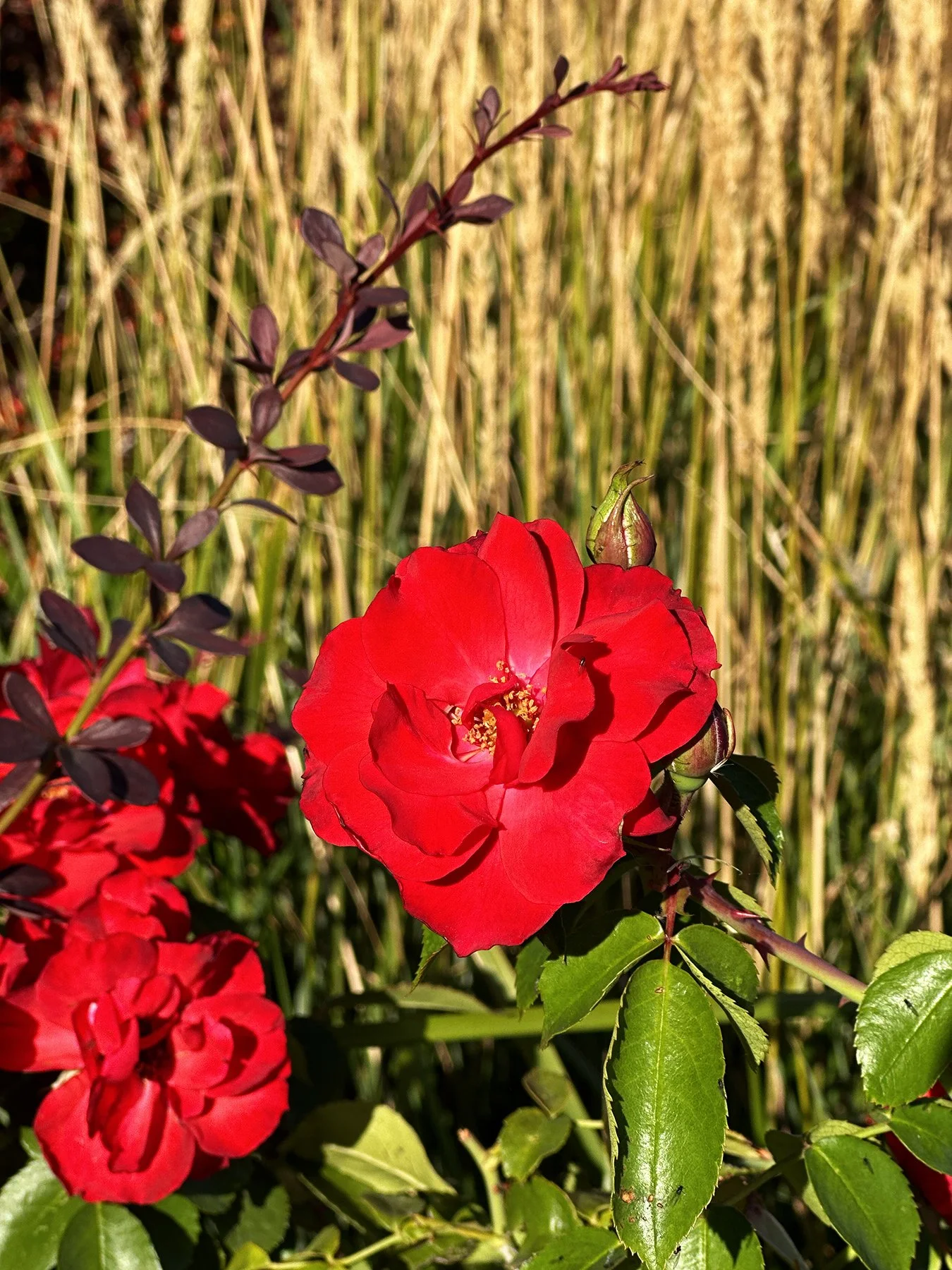
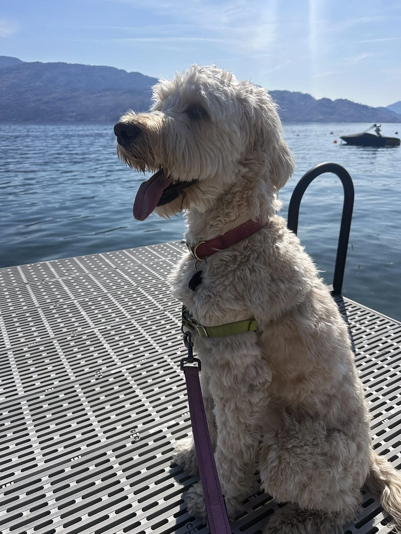
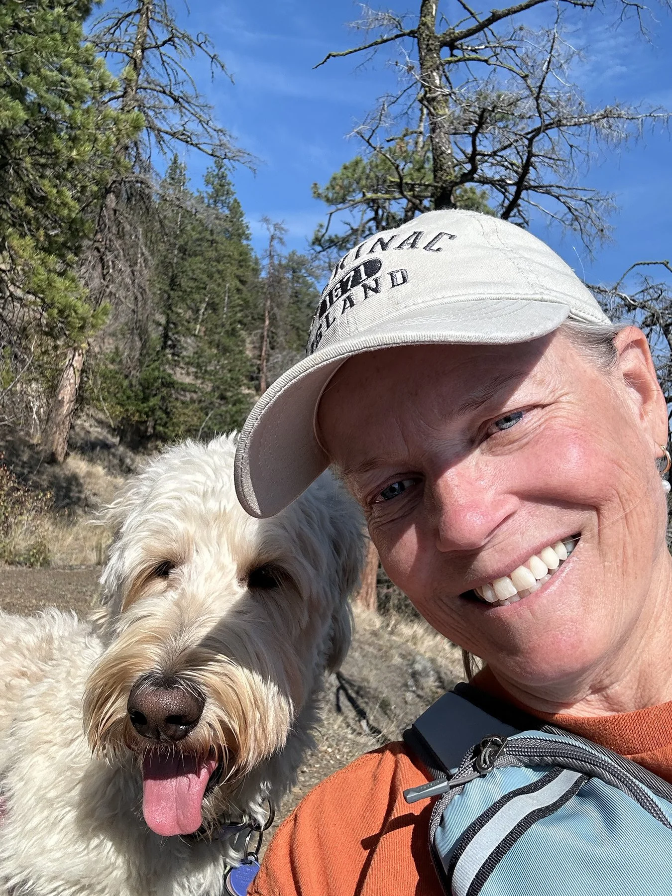
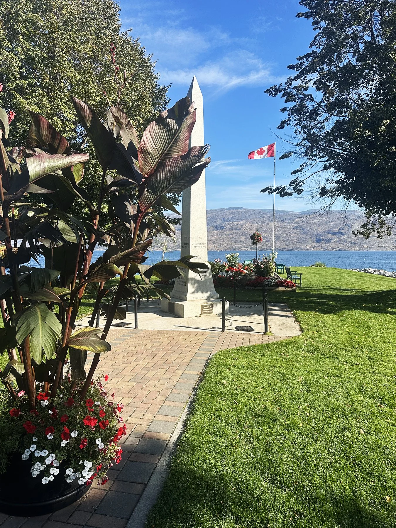
Peachland itself quickly became one of my favorite little towns. It featured a beautiful, continuous seven-mile waterfront promenade lined with rocky beaches, local shops and cafés. It earned the title of “Canada's Kindest Community” after winning a major nationwide contest organized by Coca-Cola Canada. Peachland beat out nearly 800 other Canadian communities by demonstrating incredible community spirit, volunteerism, and generosity. I think it also could’ve been voted “Canada’s Most Charming Community”! The boardwalk was beautifully designed and landscaped, inviting you to just sit and relax, take in the lake views, and visit with others. So we did just that, and quite a lot :D. I think pictures describe it better than my words can:
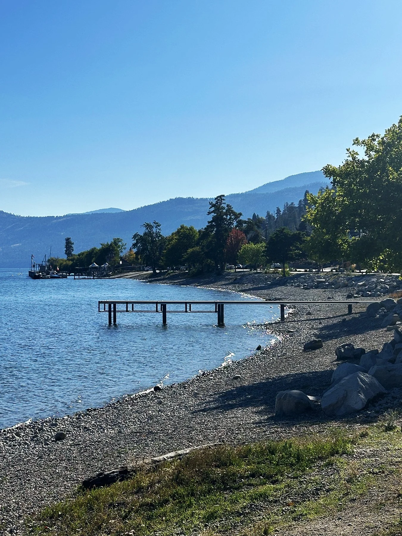
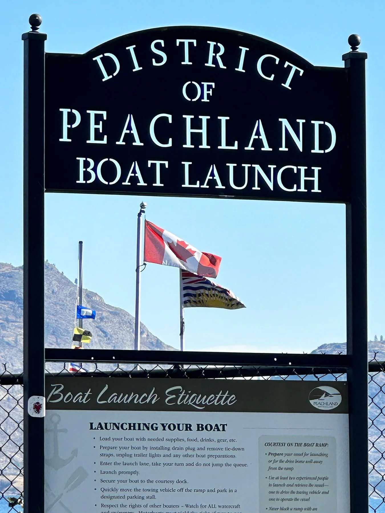
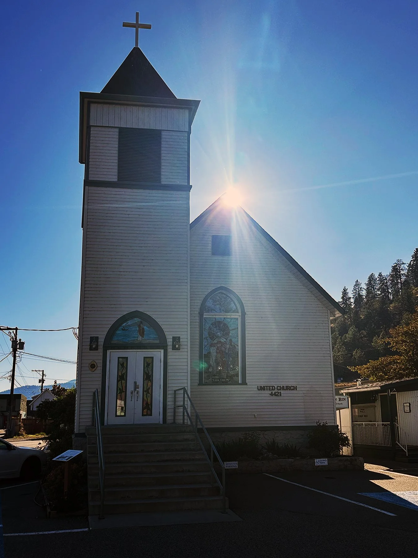
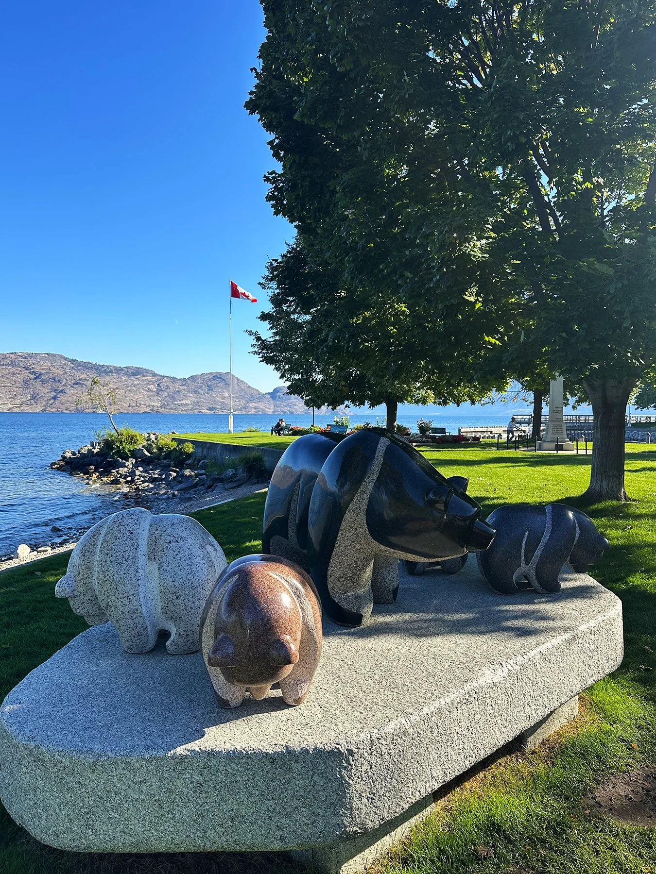
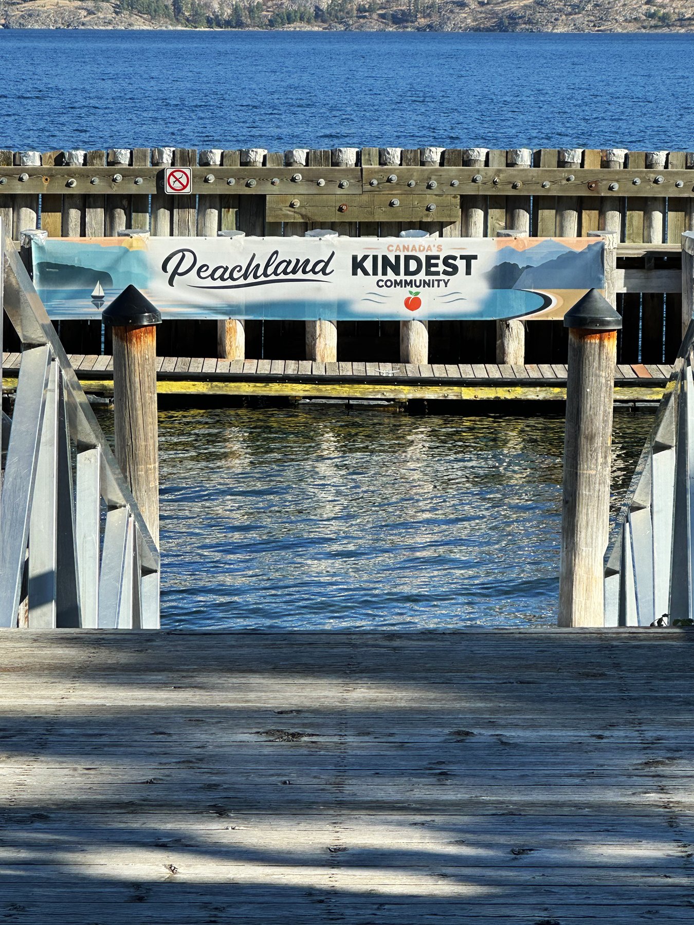
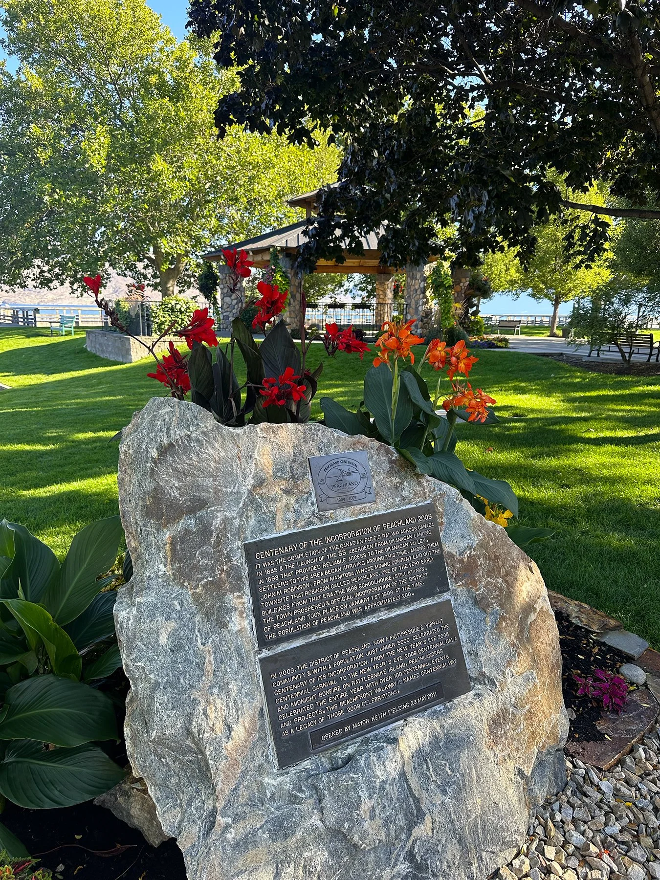
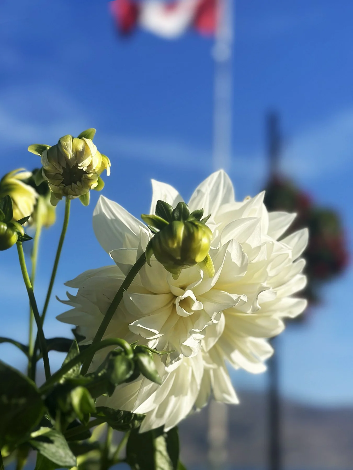
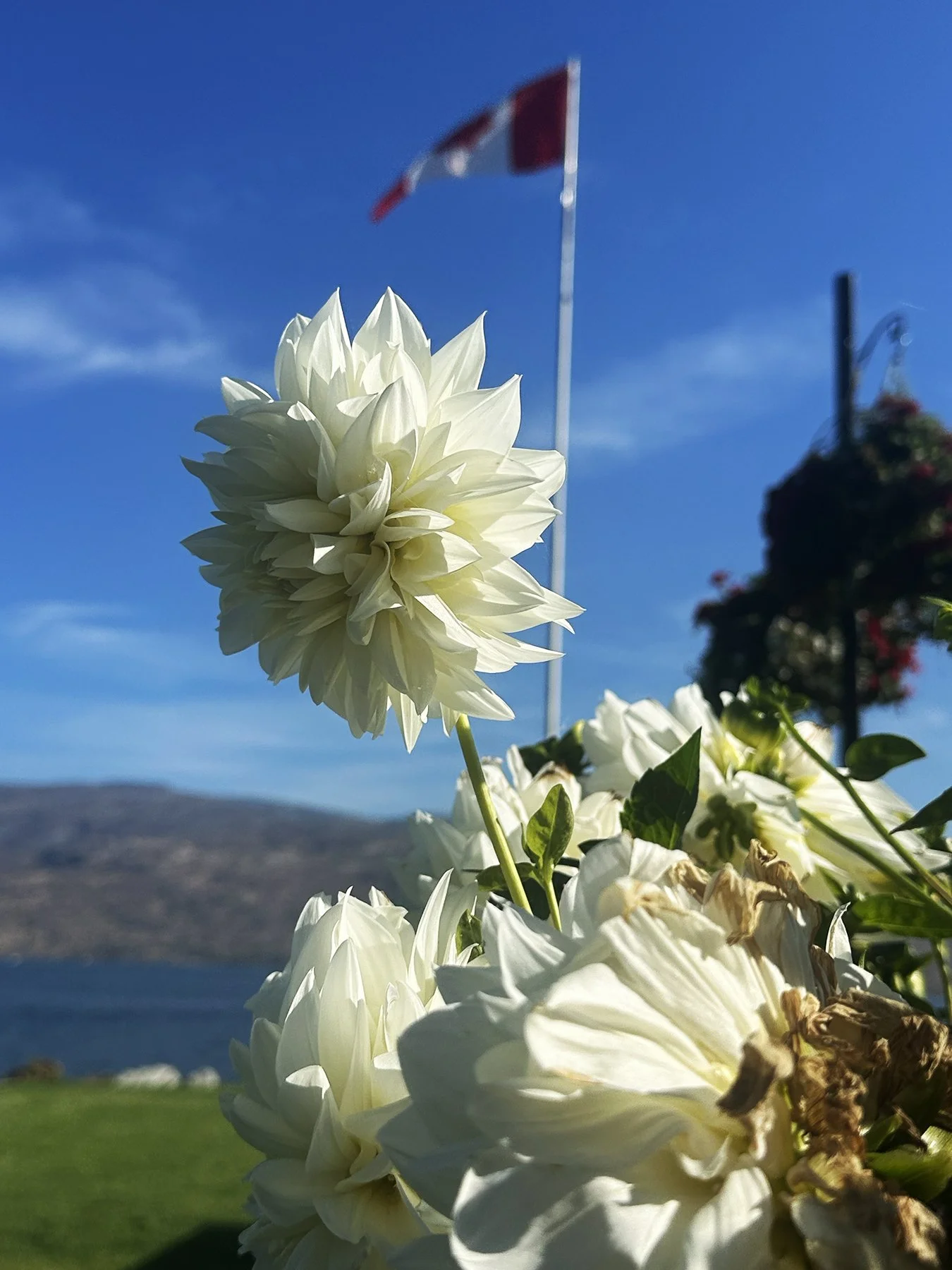
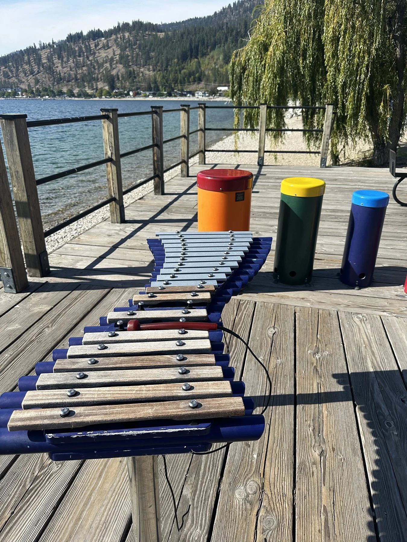
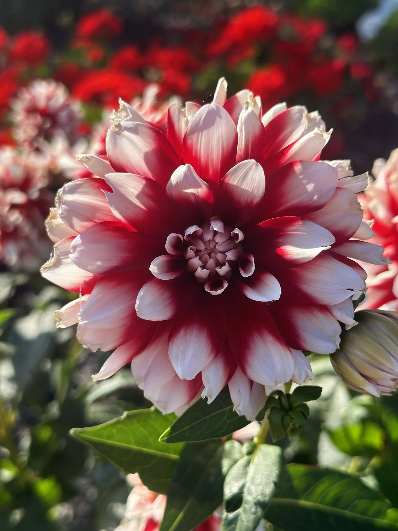
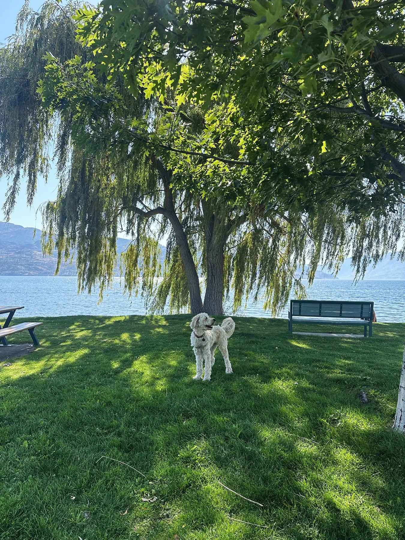
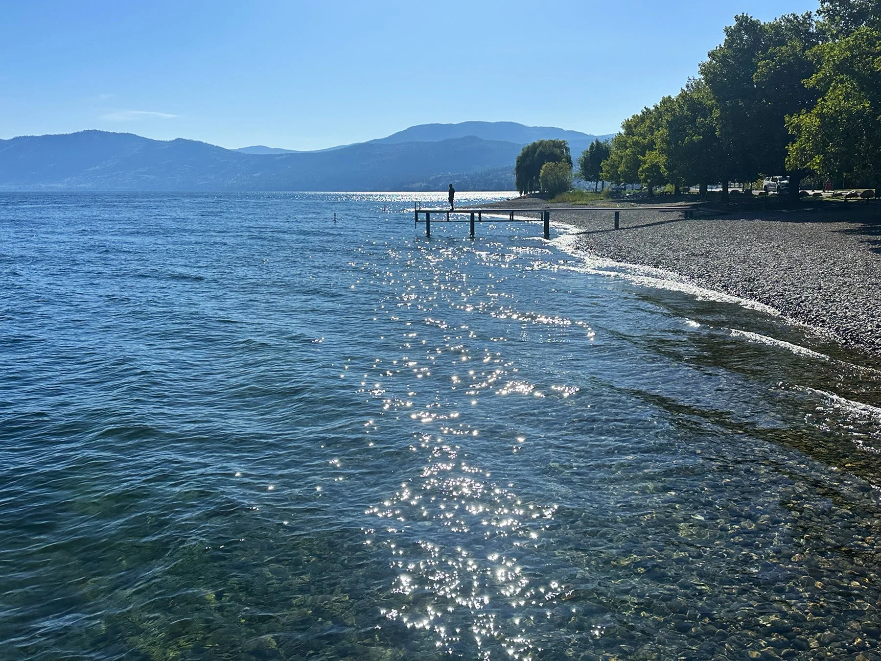
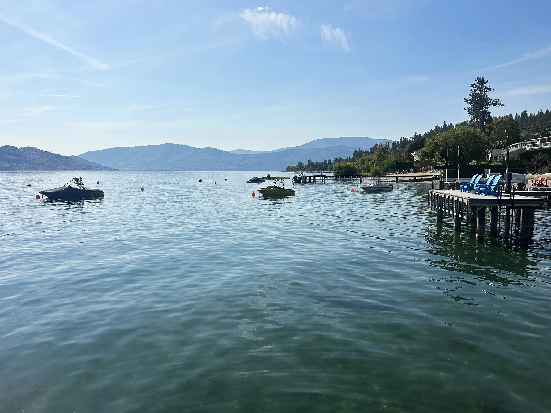
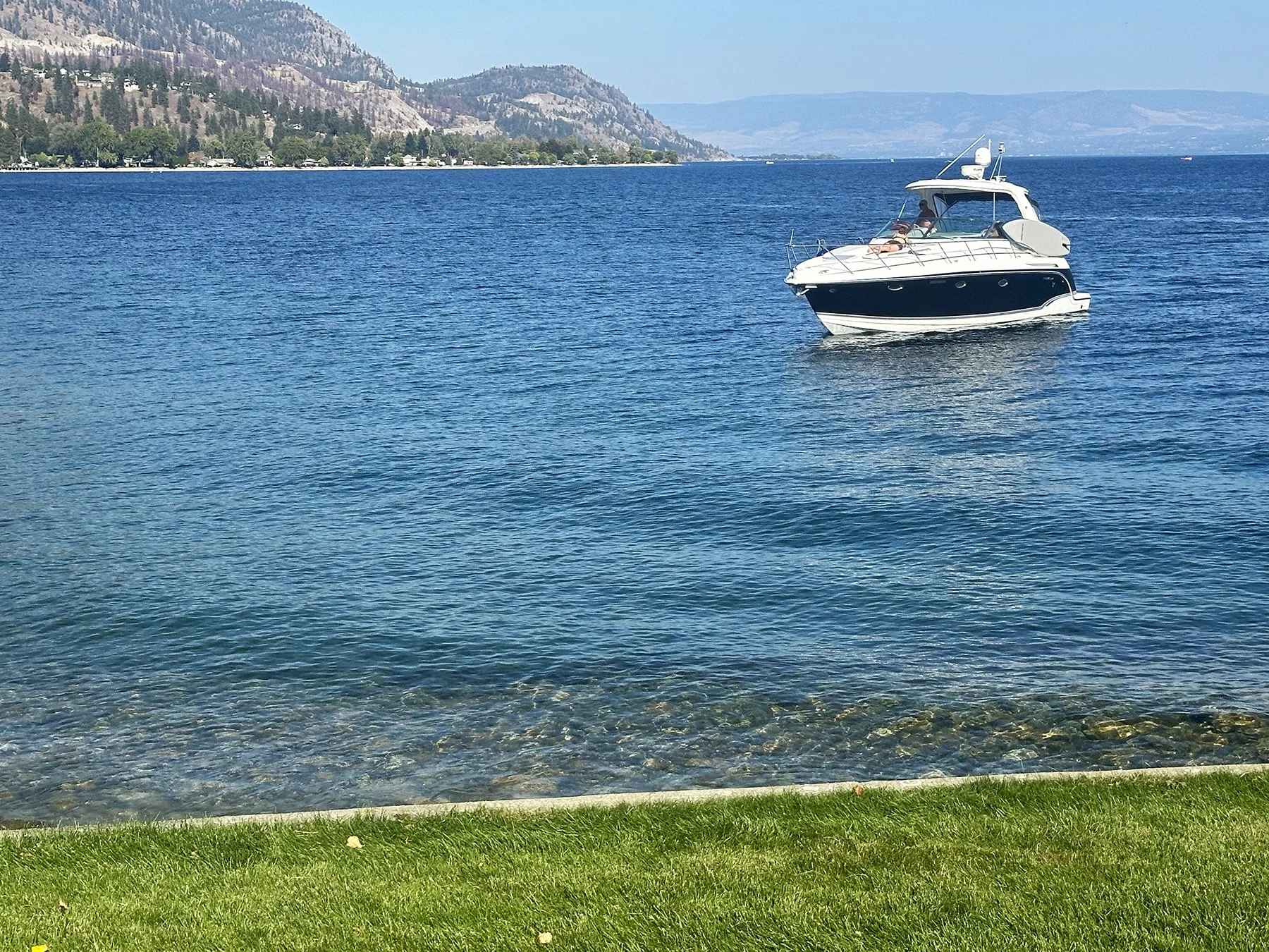
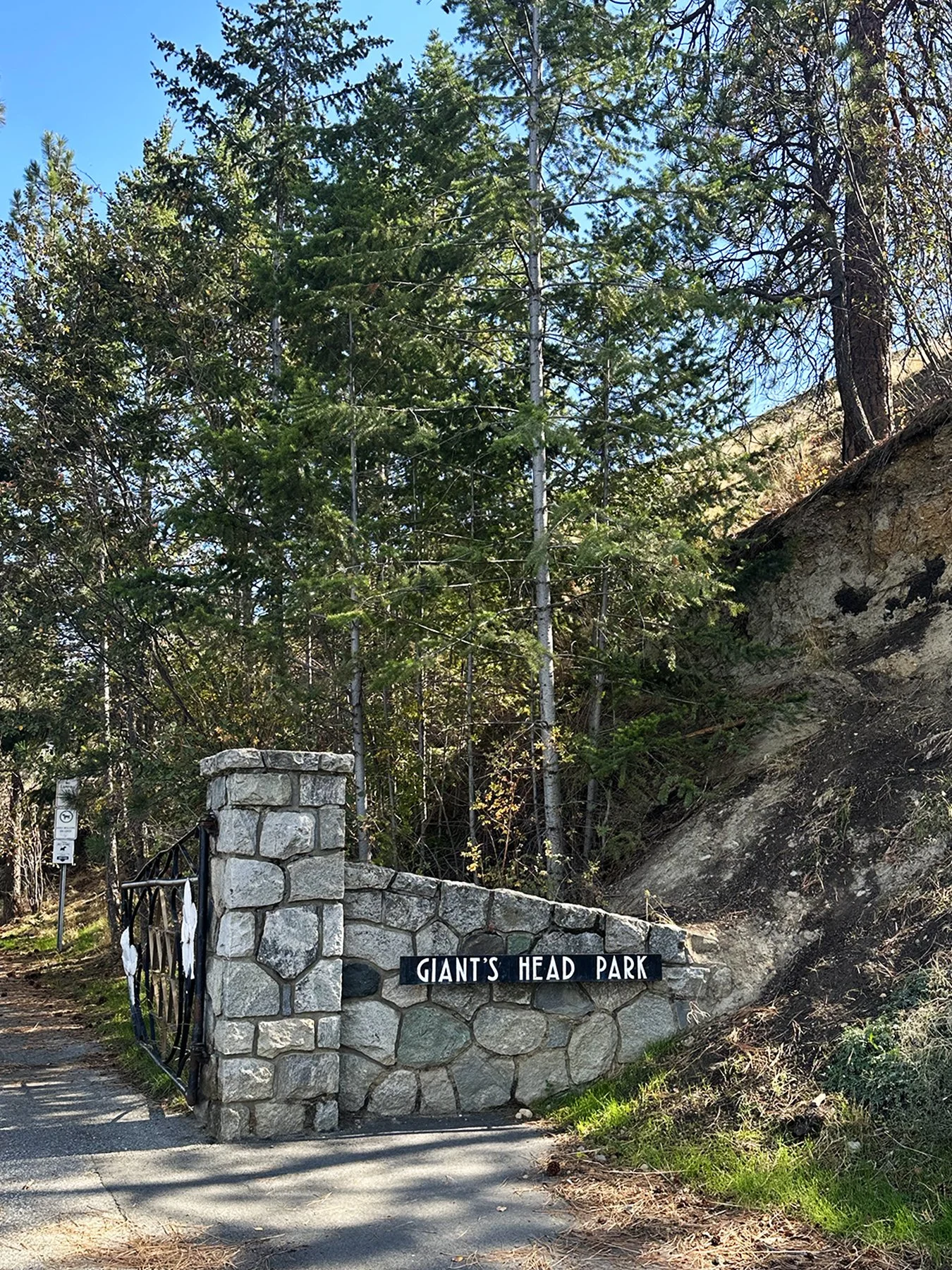
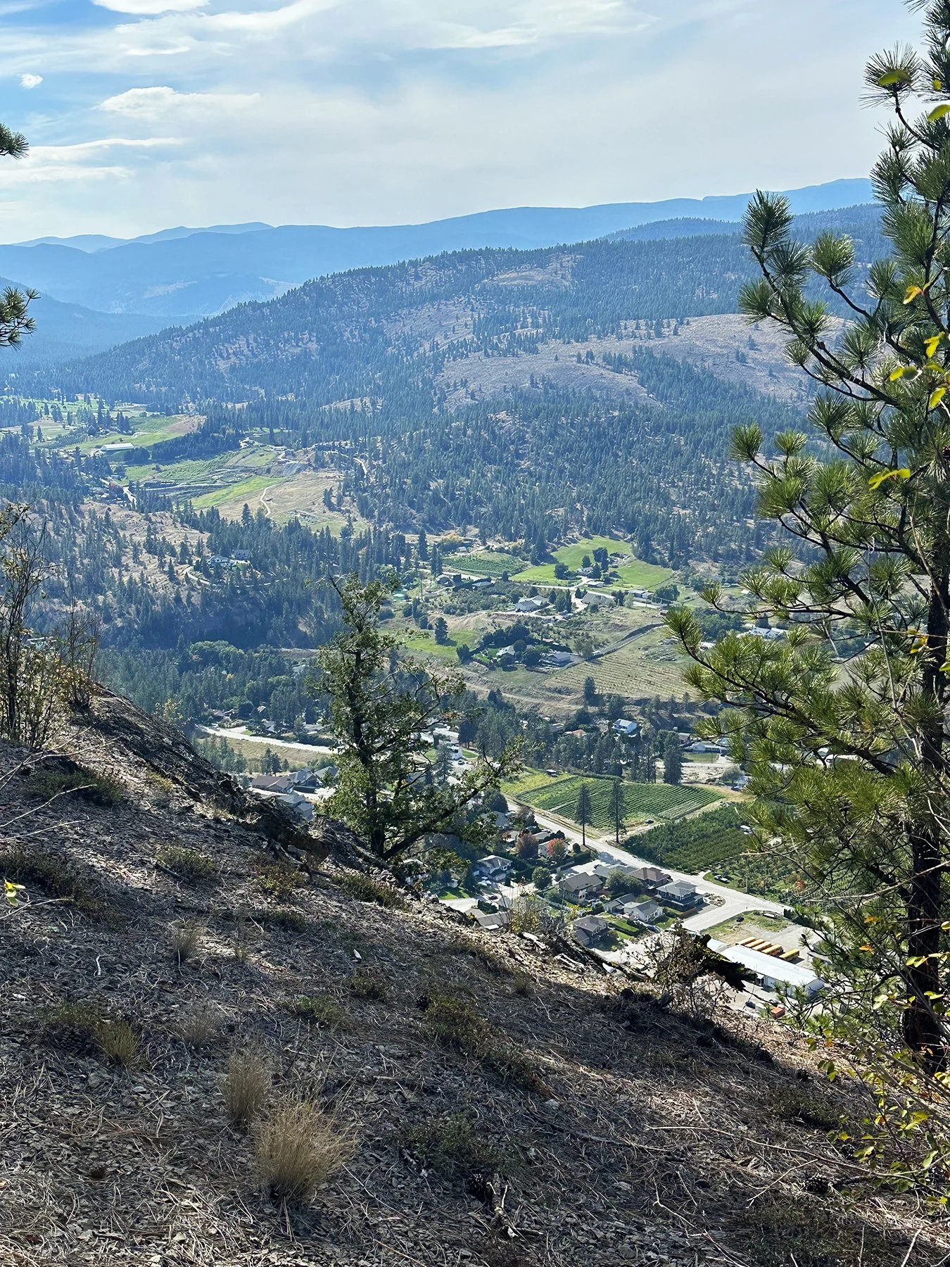
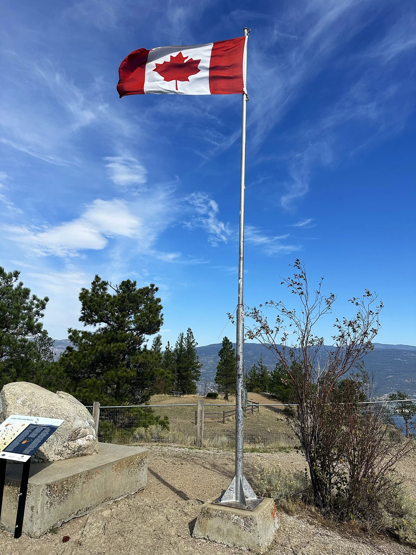
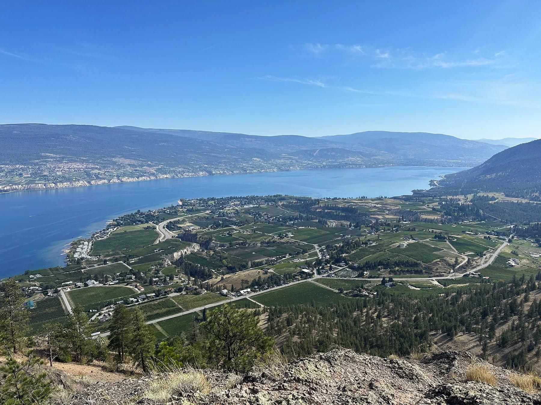
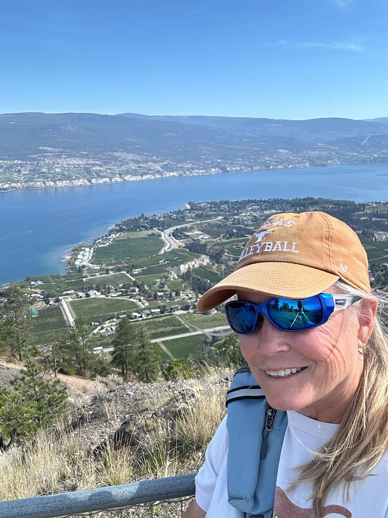
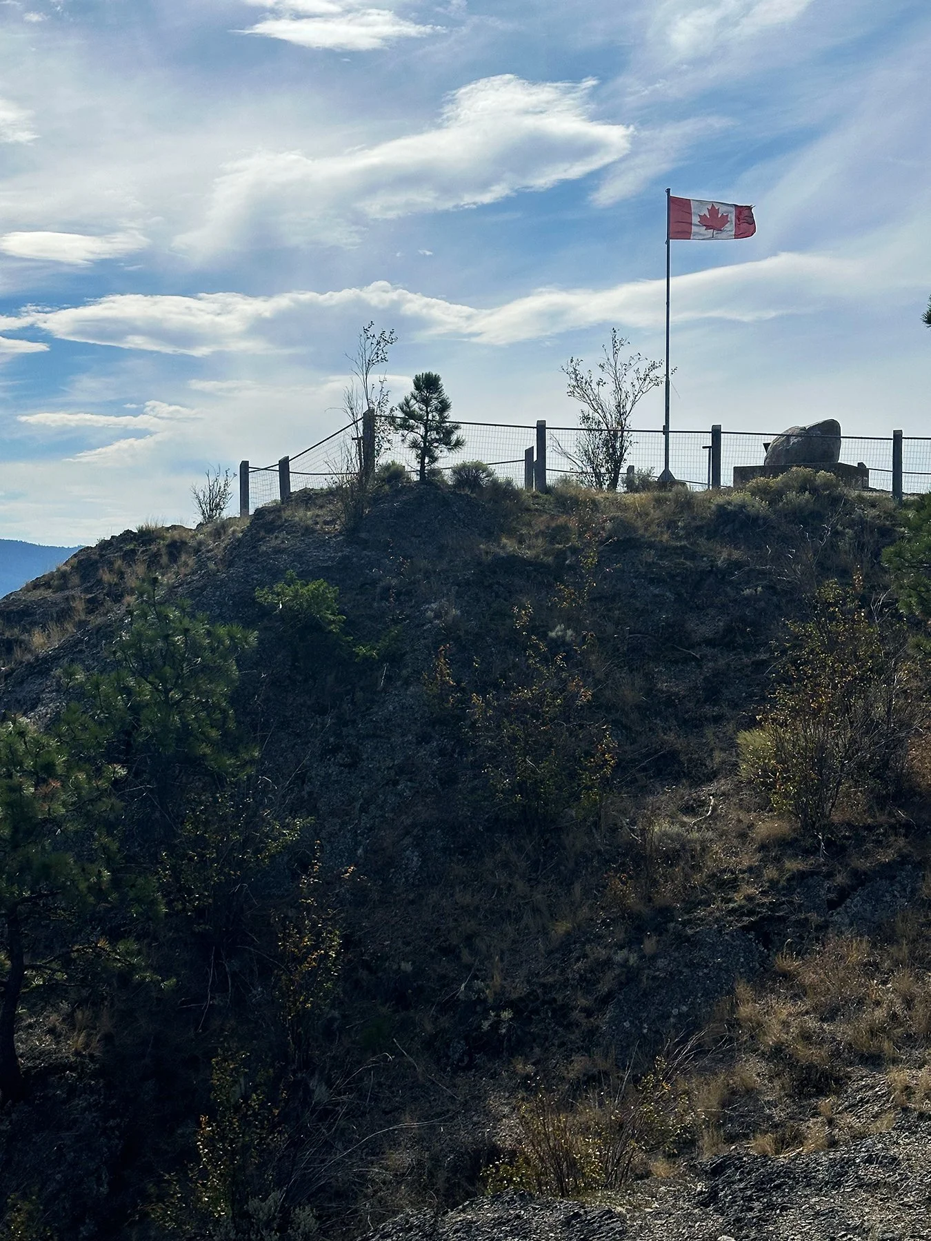
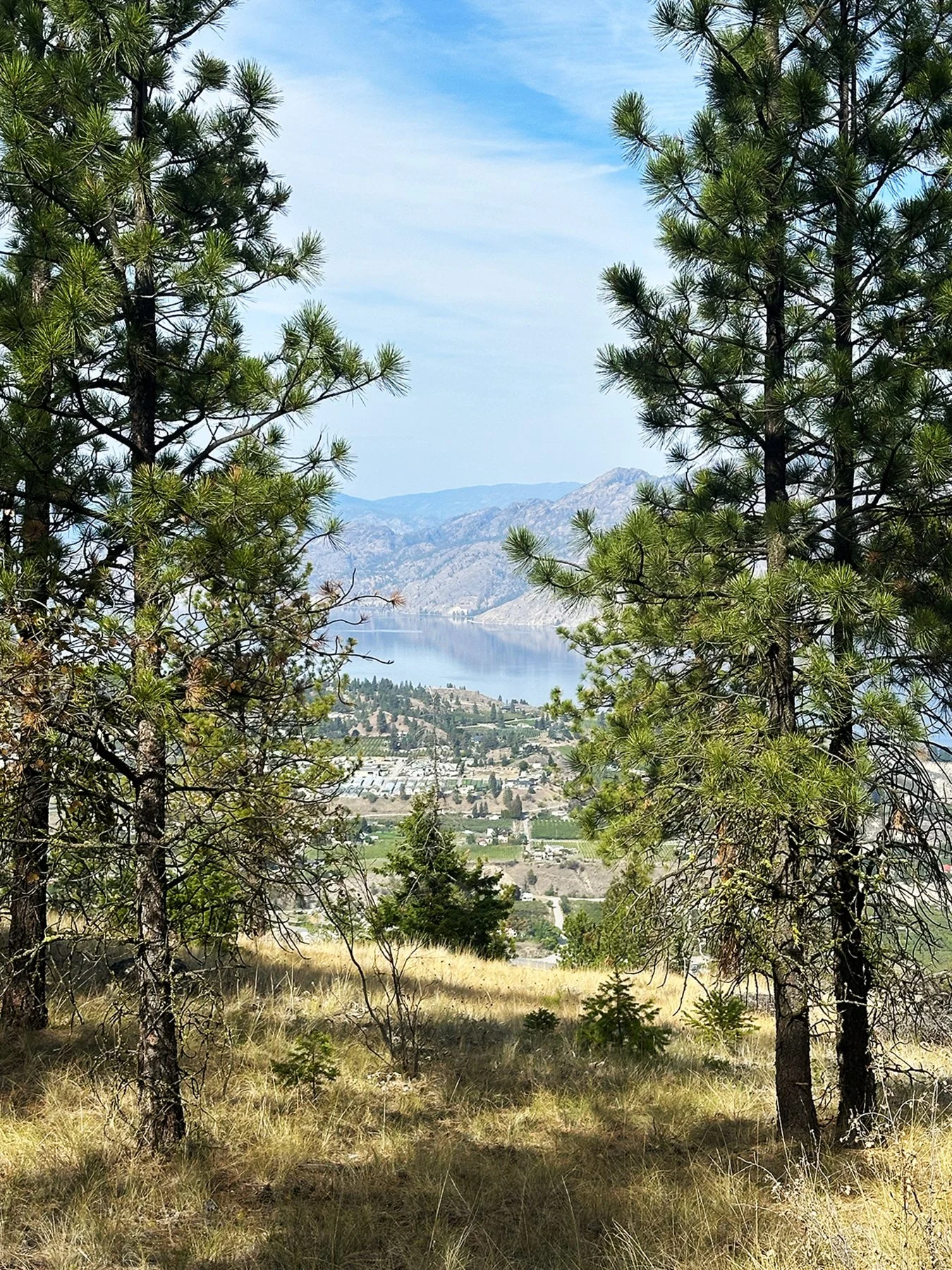
Looking for another good hike, we headed to Giant’s Head Mountain Park, known as a ‘stunning natural gem that towers over the charming town of Summerland’—whose founder lovingly referred to as paradise on earth, and I don’t disagree! Giant’s Head Mountain is actually an extinct volcano that offers panoramic views of scenic rural roads winding through acres of picturesque wineries, orchards, and grazing lands, and—of course—the beautiful Okanagan Lake.
Giant’s Head Mountain
How did it get the name? Apparently, as you approach its southeast face, you’ll see a man’s profile surveying the community that has made him a focal point for more than 100 years! Since I was actually ON the mountain, and had approached from the west, I didn’t personally see what they were talking about. I guess we’ll just have to take their word for it ;-). The Giant does appear on Summerland’s Coat of Arms accompanied by the motto “A Giant in Stature.” For Canada’s Centennial in 1967, a community effort created Giant’s Head Park and upon completion, the Park was touted as “one of Canada’s most imaginative centennial projects.” So, there you have it.
Kelowna – the “fruit basket of Canada”
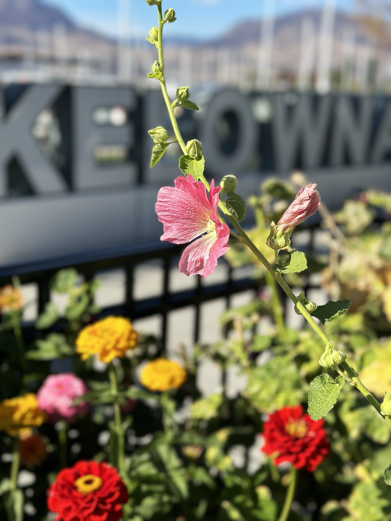
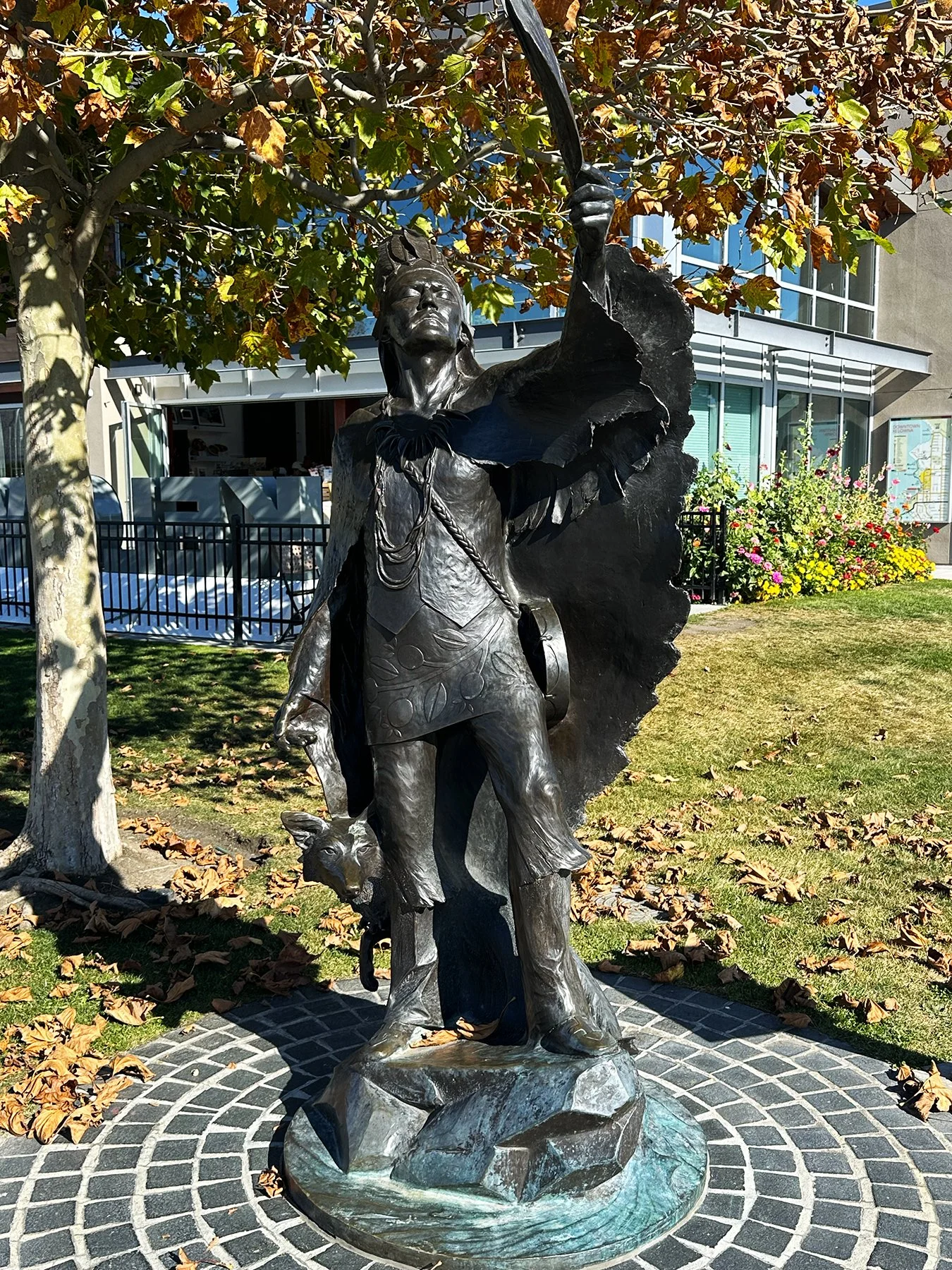
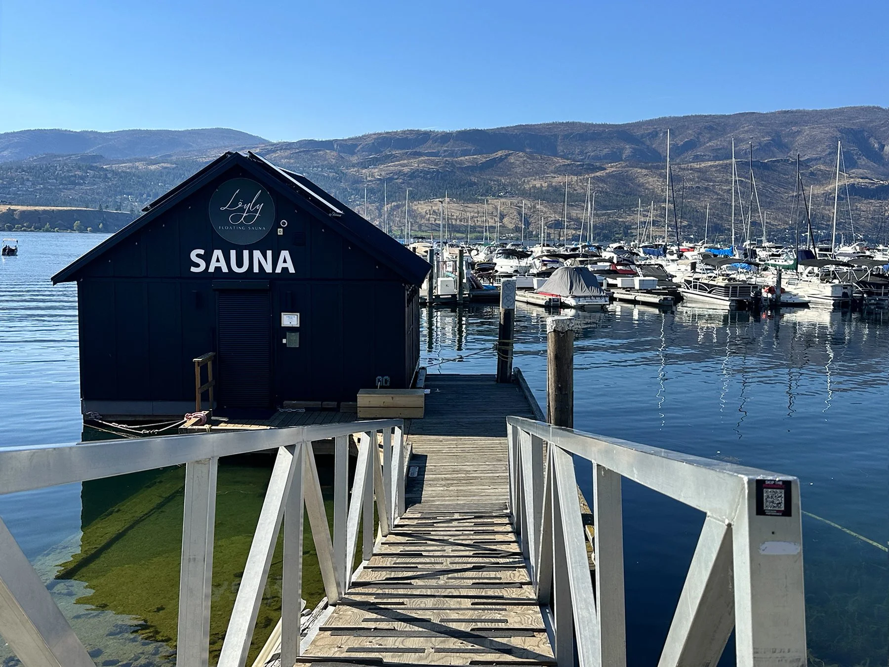
Just 30 minutes north of Peachland along the shores of Okanagan Lake was the city of Kelowna, which means "grizzly bear" in the local Syilx dialect. Like much of the Okanagan Valley, the area is covered with world-class wineries and abundant orchards producing cherries, peaches, apples and apricots. We walked around the beautiful waterfront area, the downtown Cultural District featuring art galleries, museums, theatres, and studios, and just soaked up the scenic beauty and laid-back vibe.
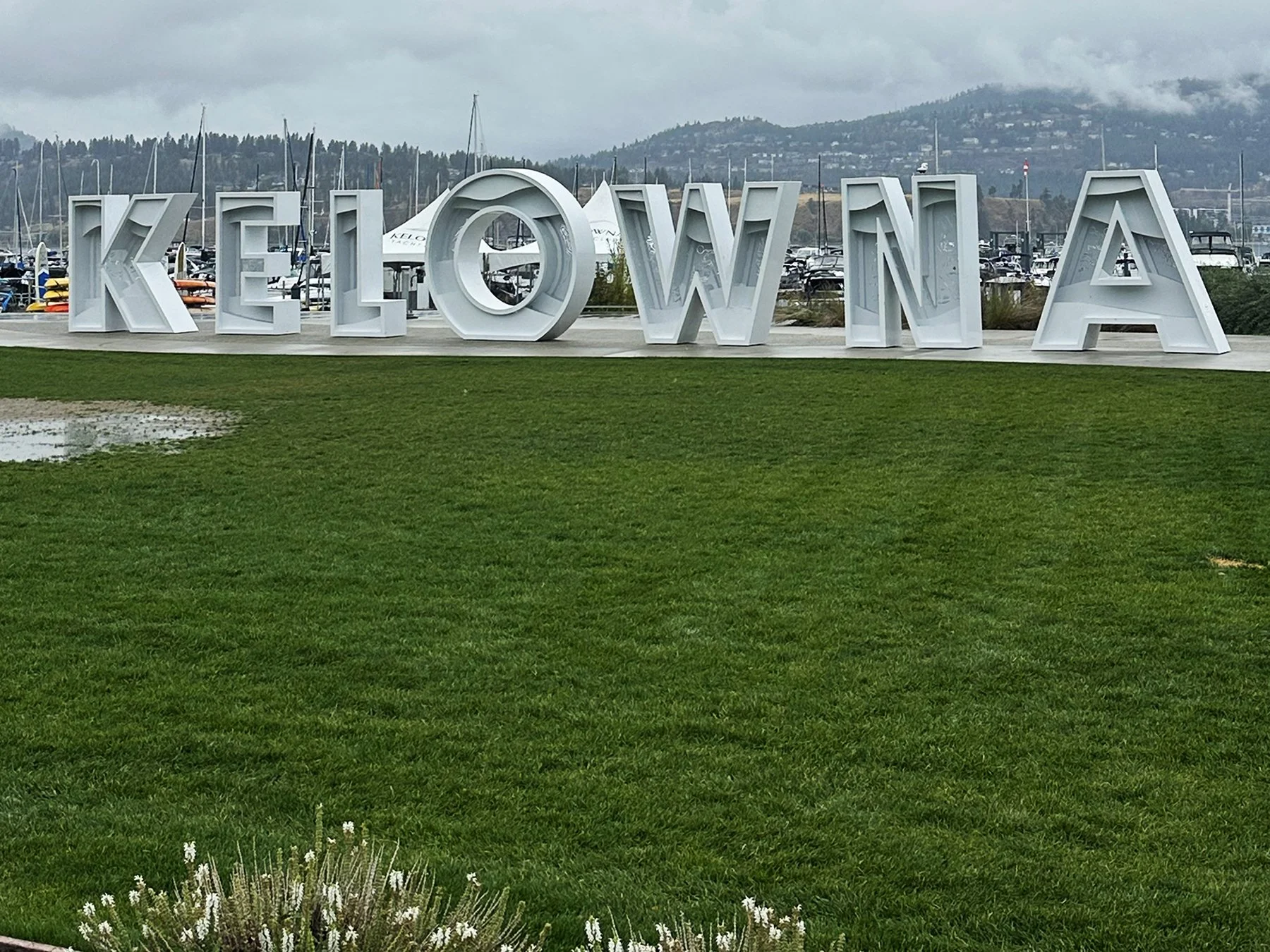
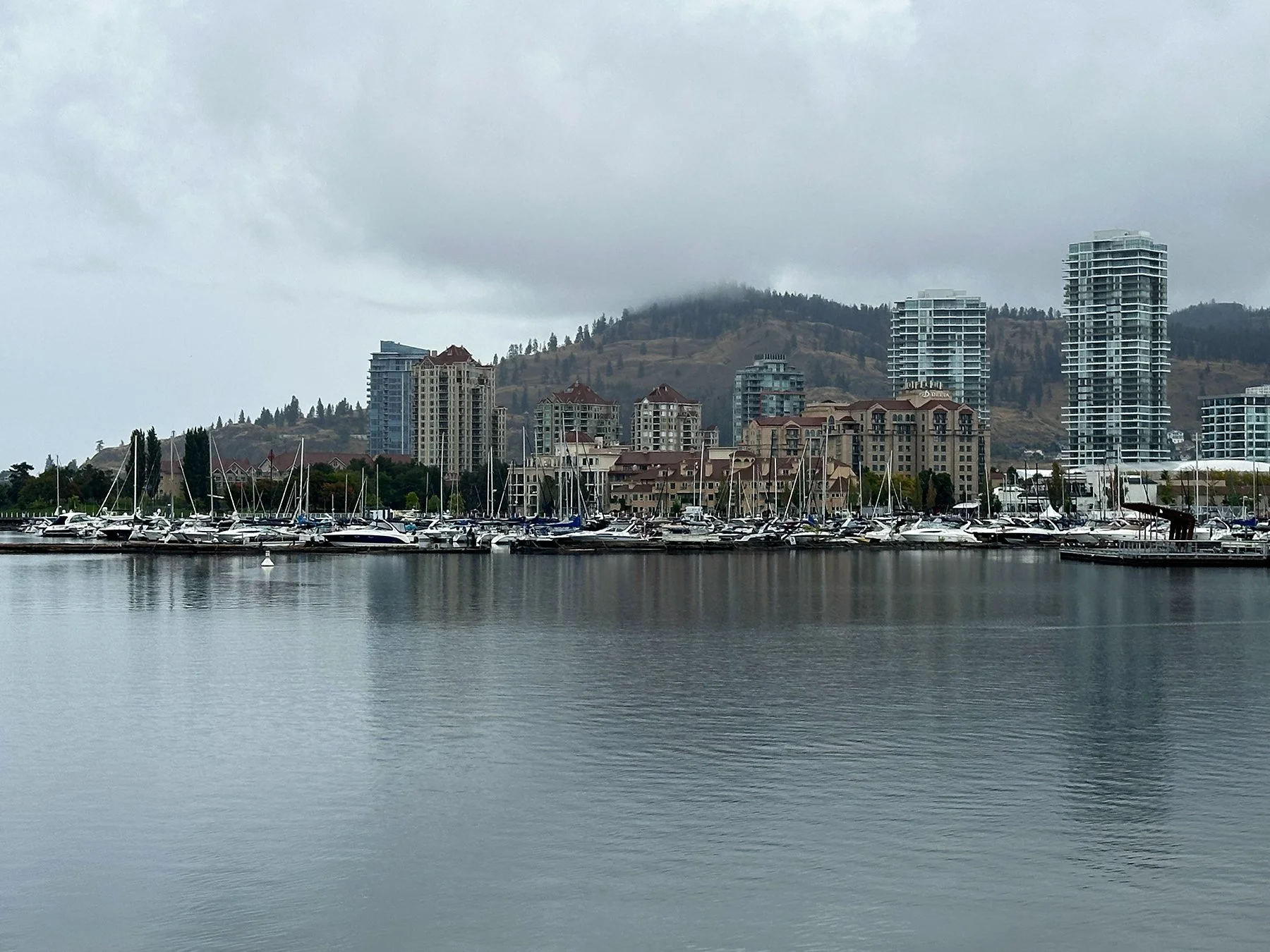
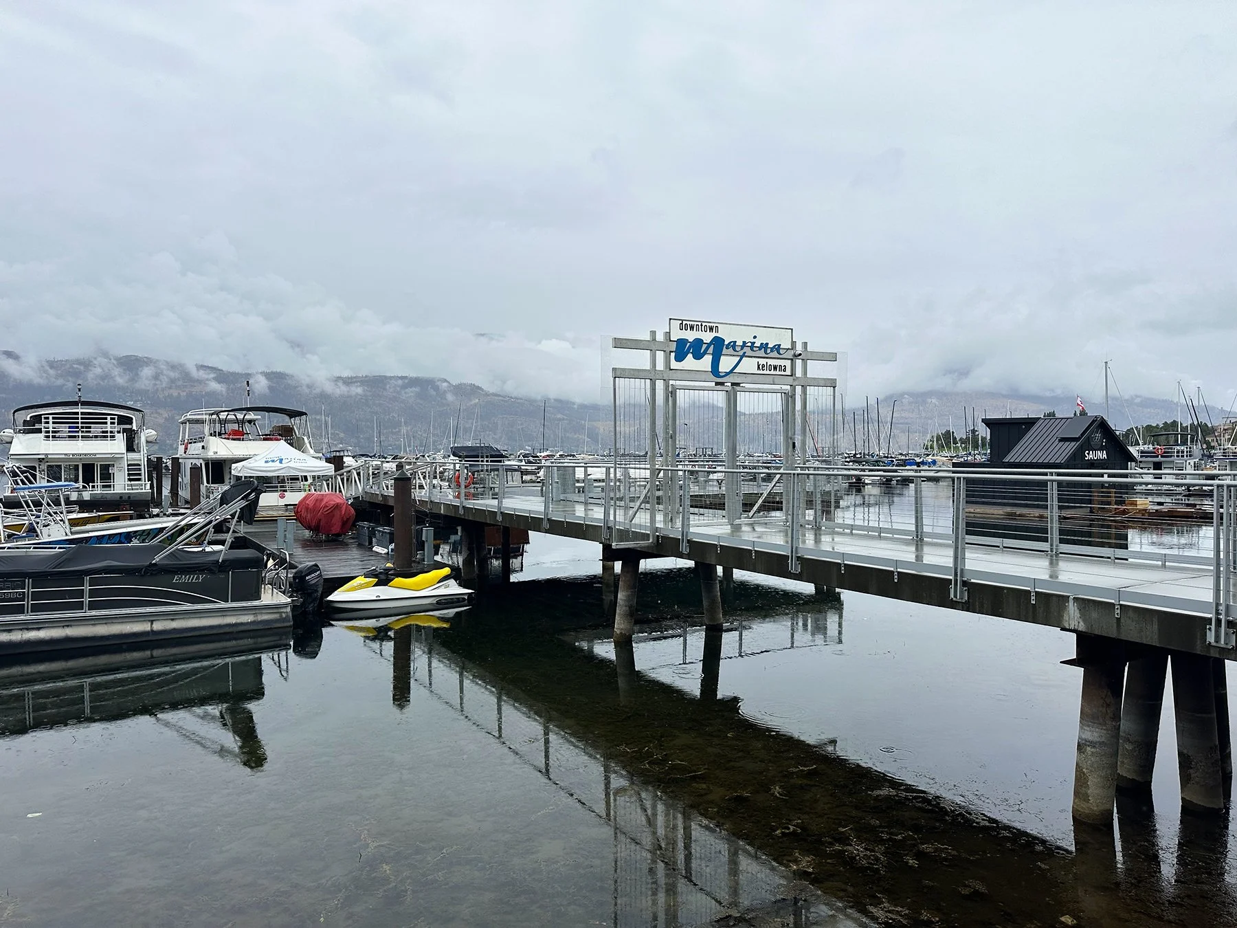
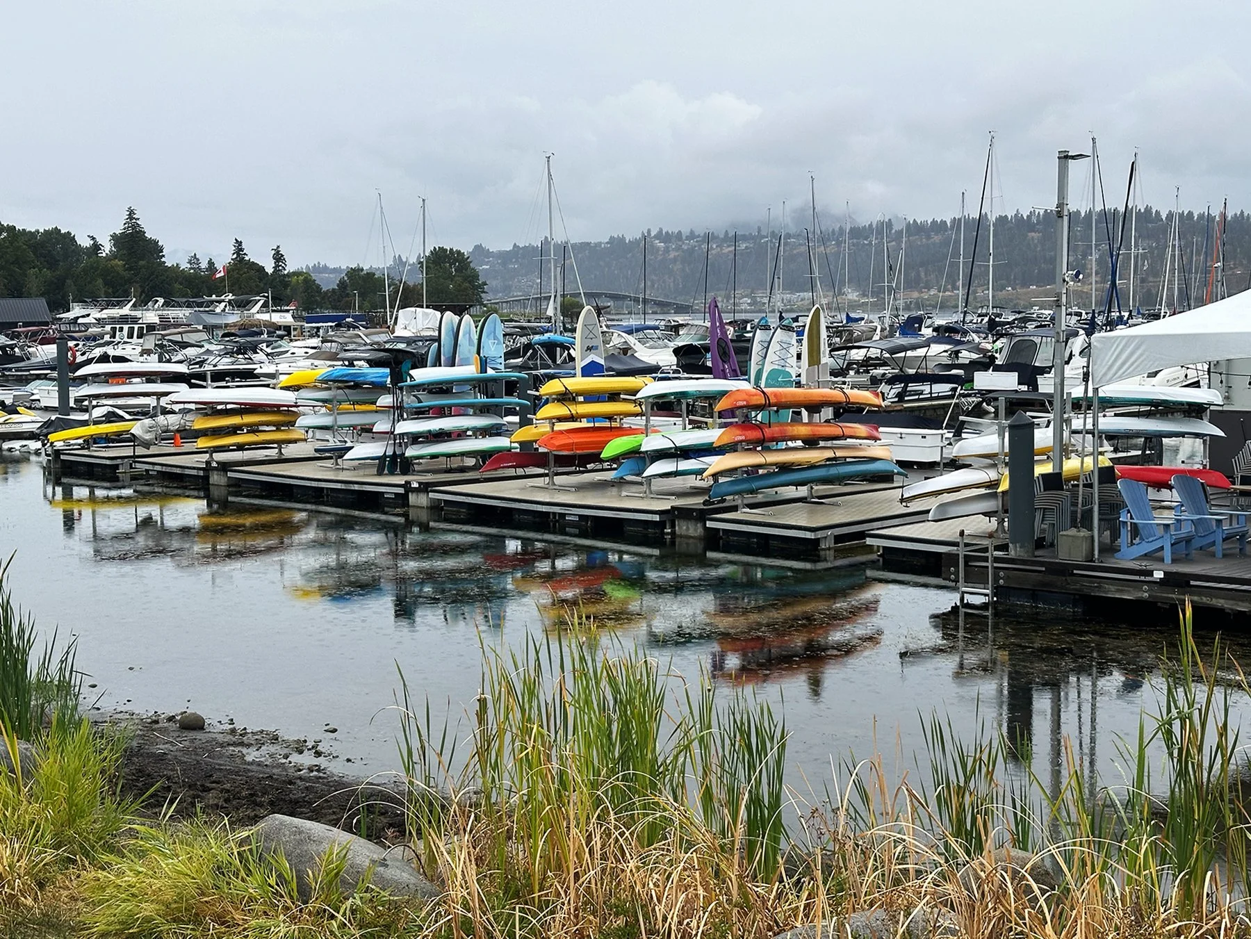
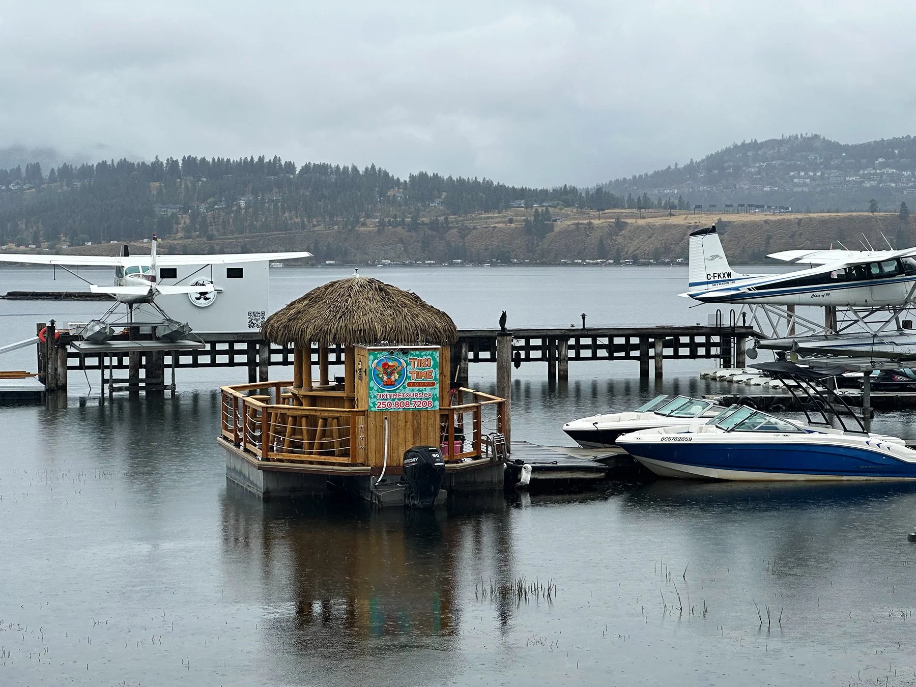
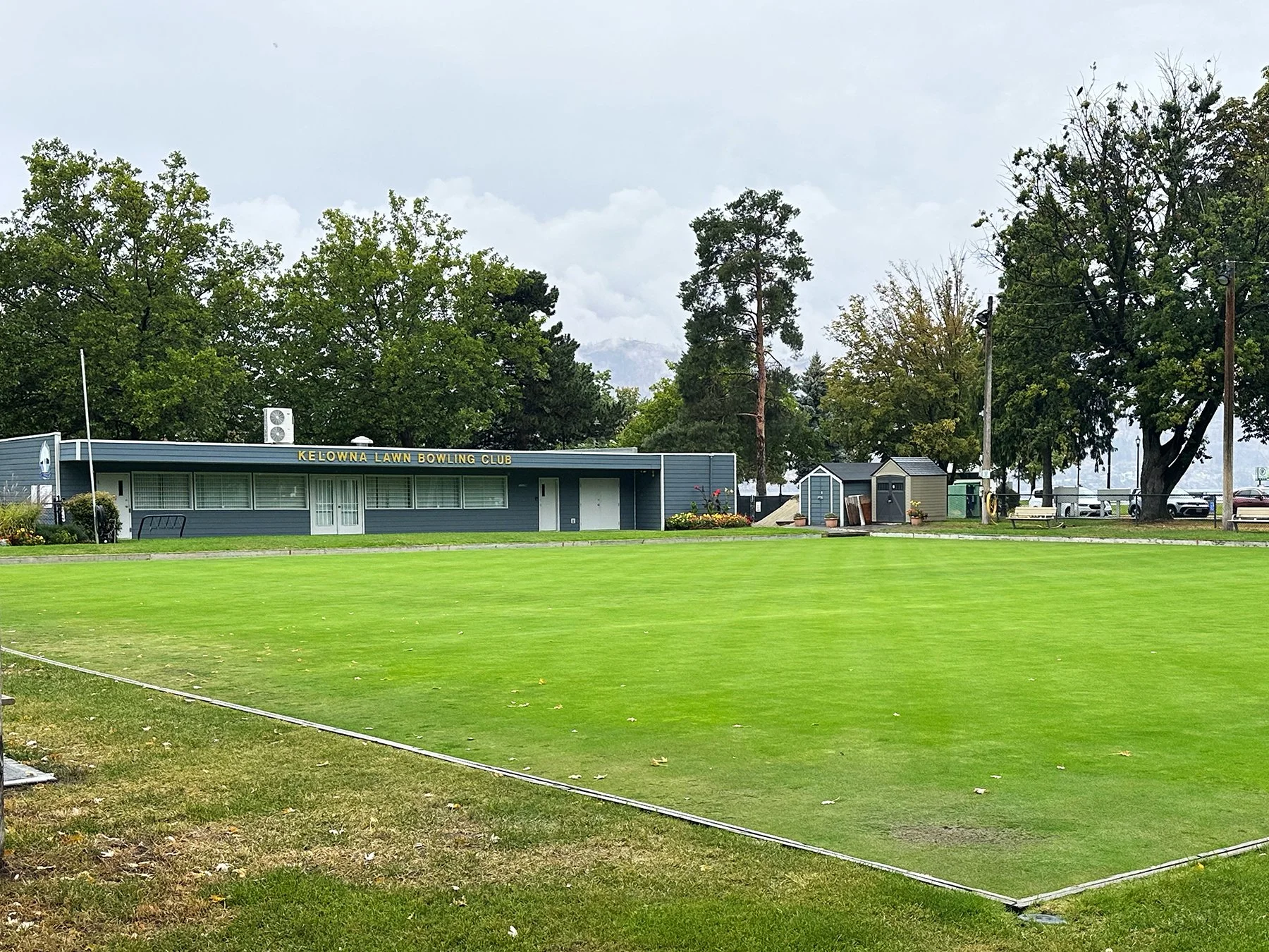
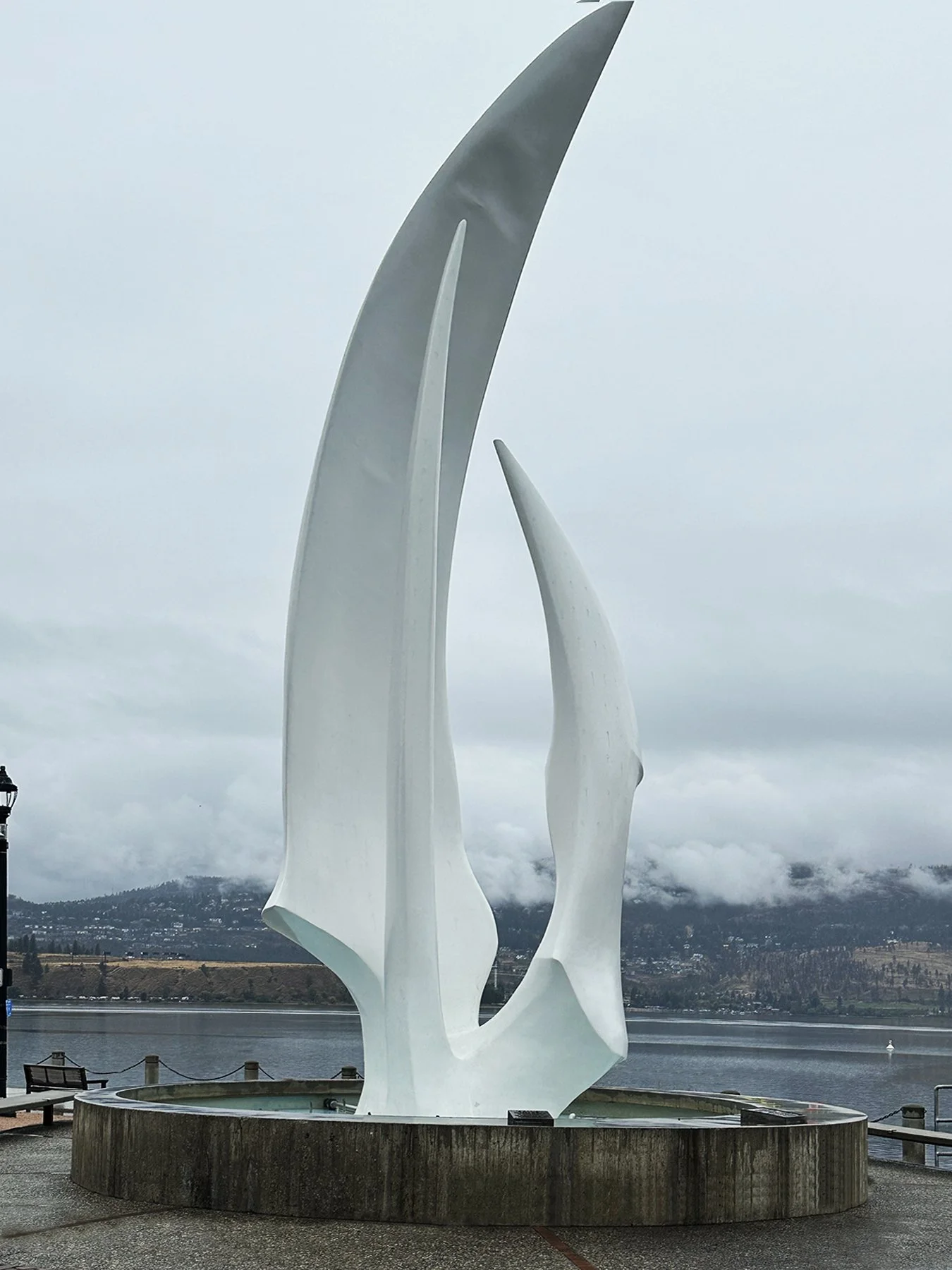
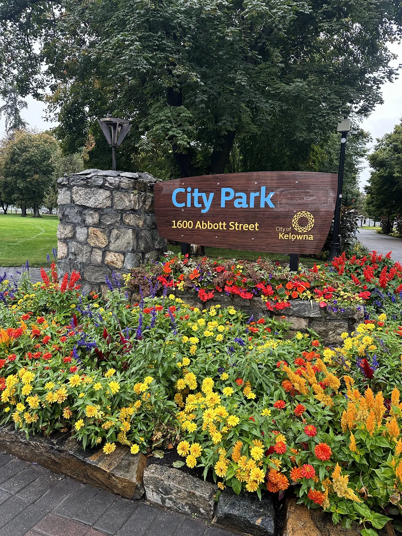
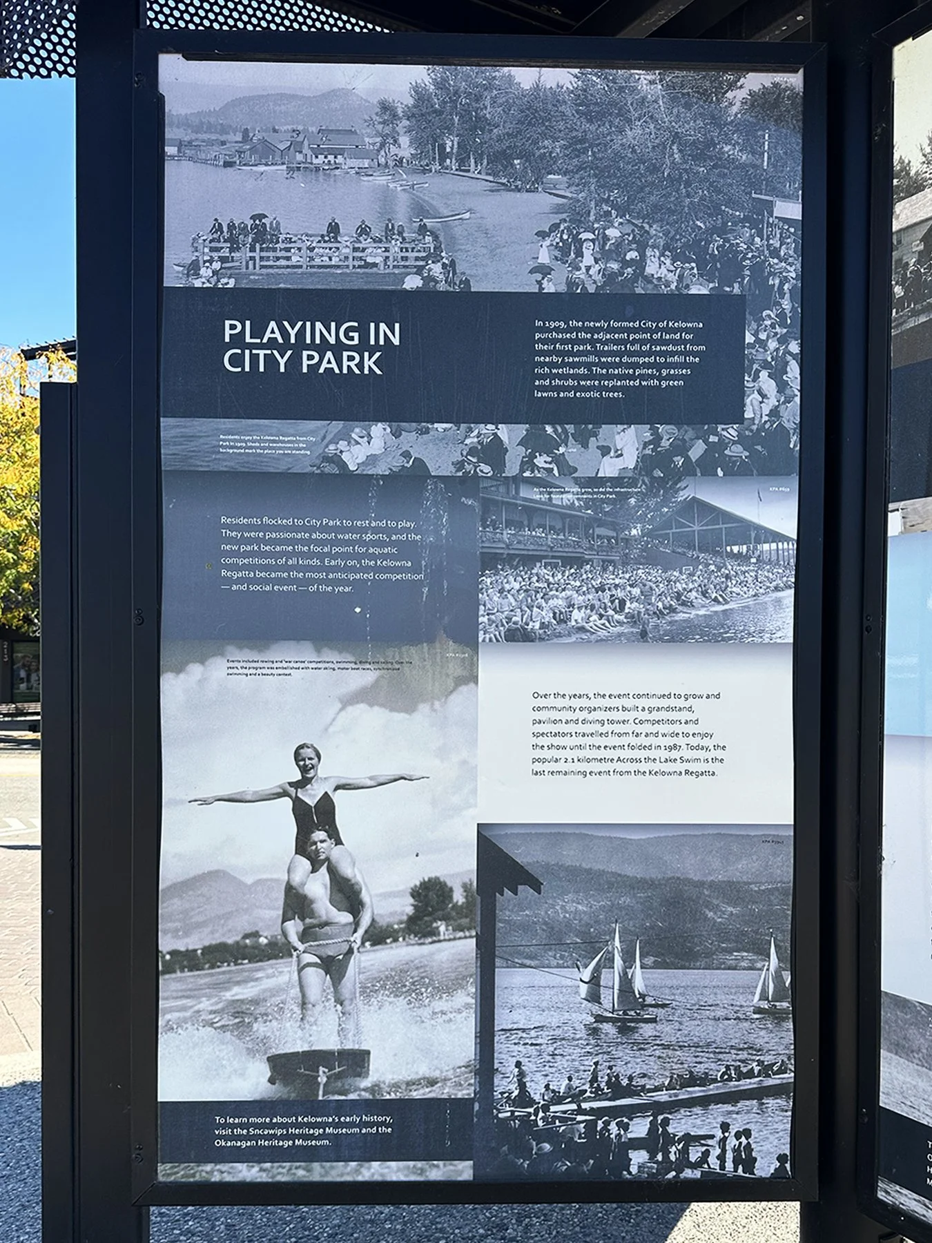
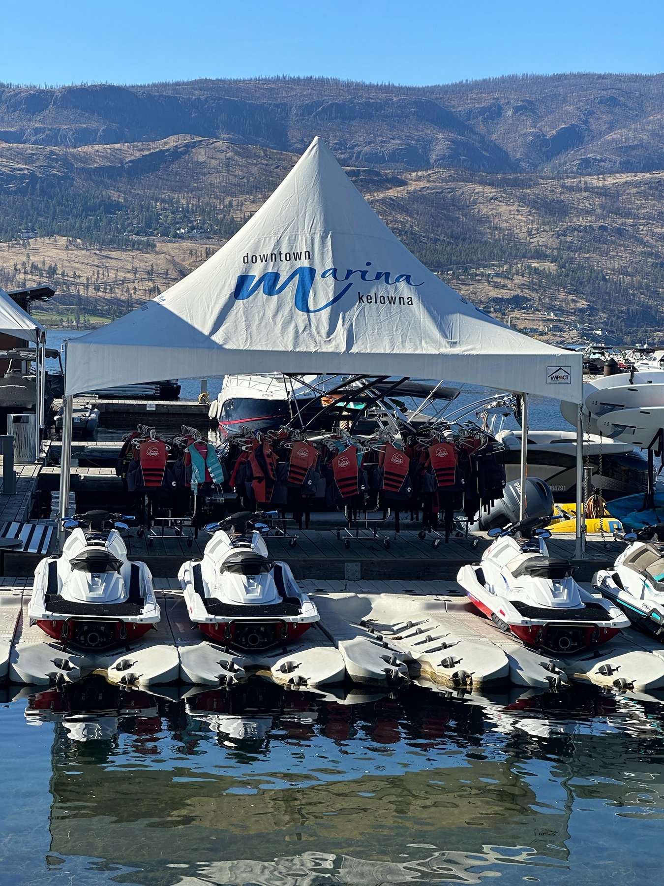
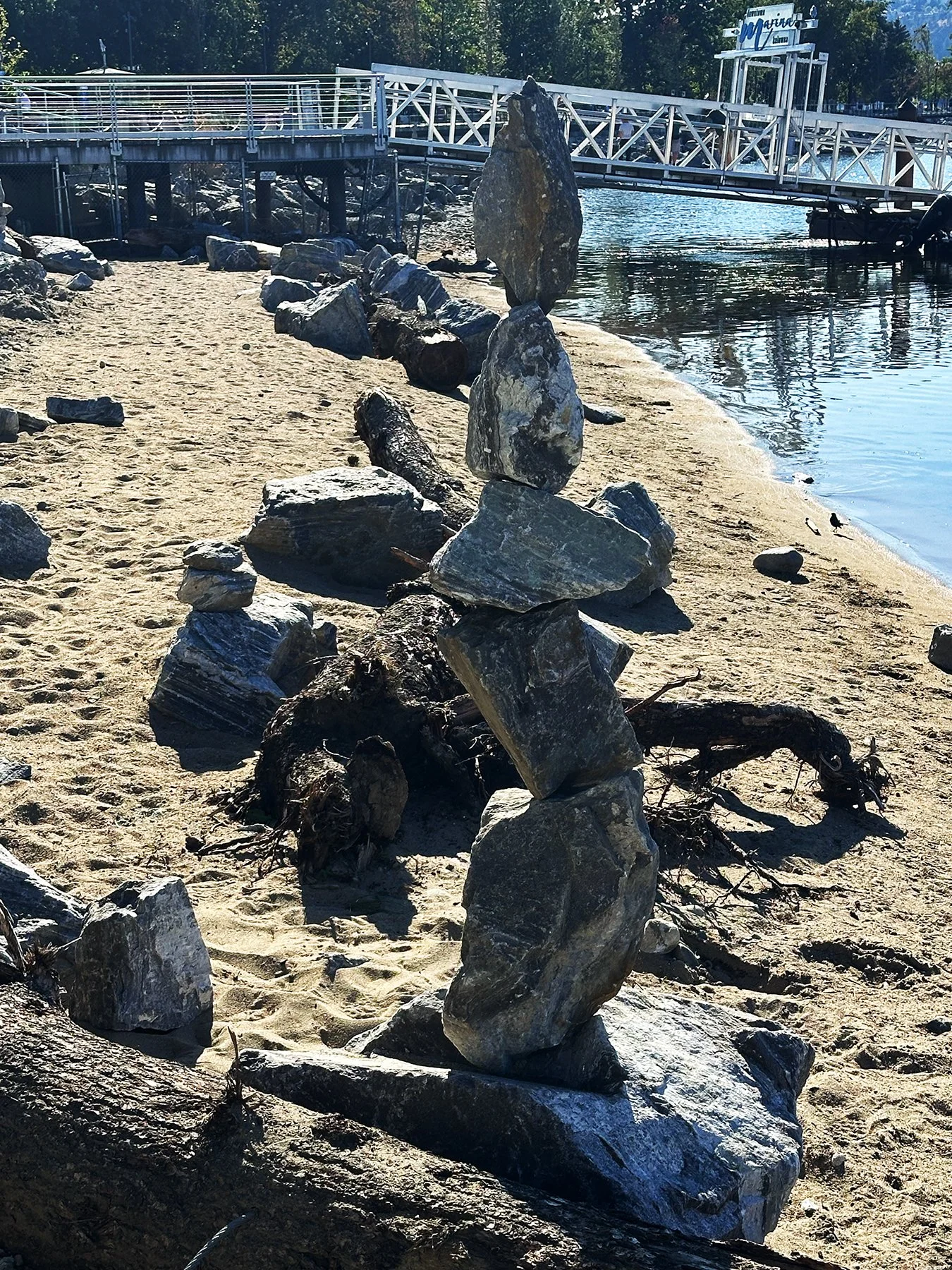
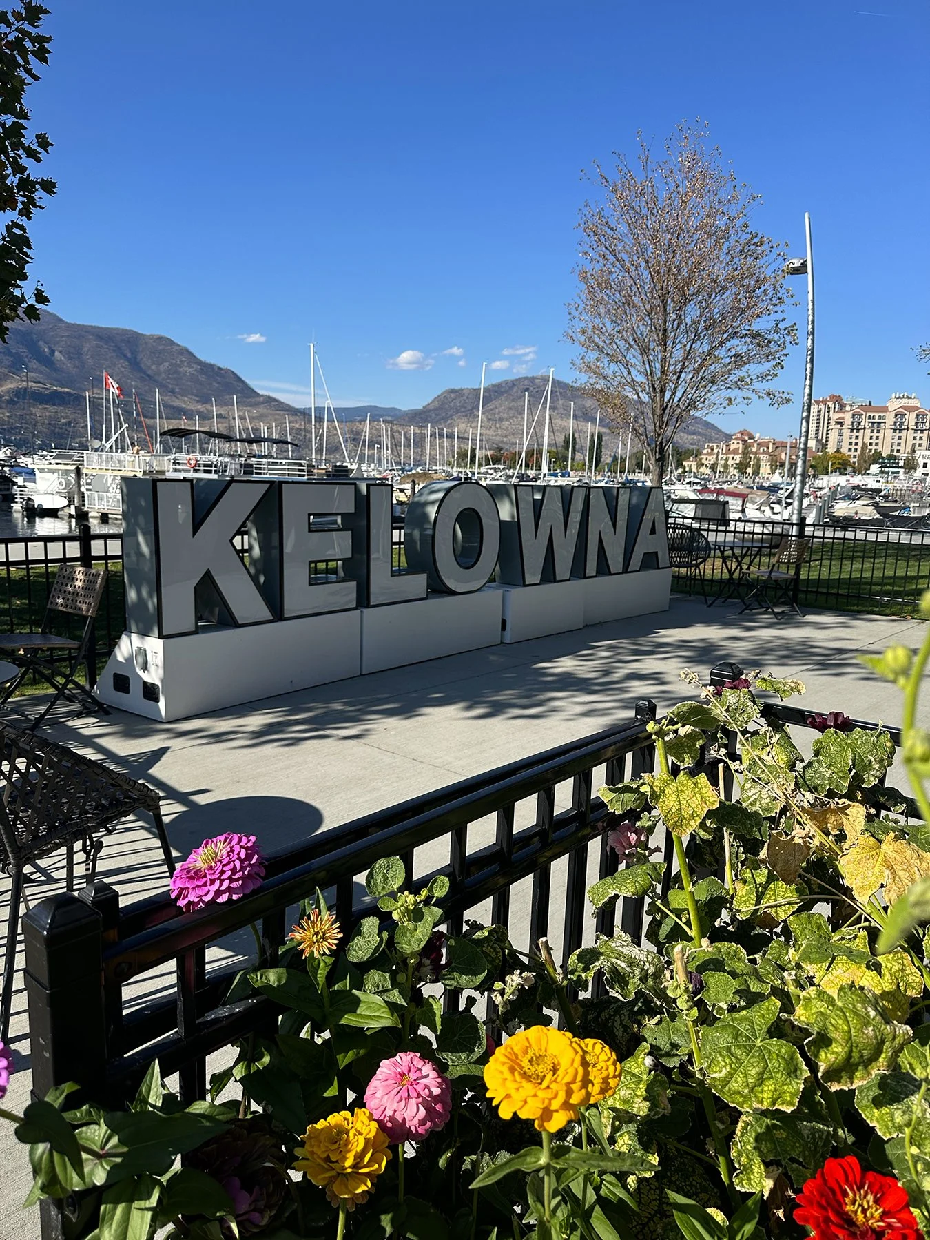
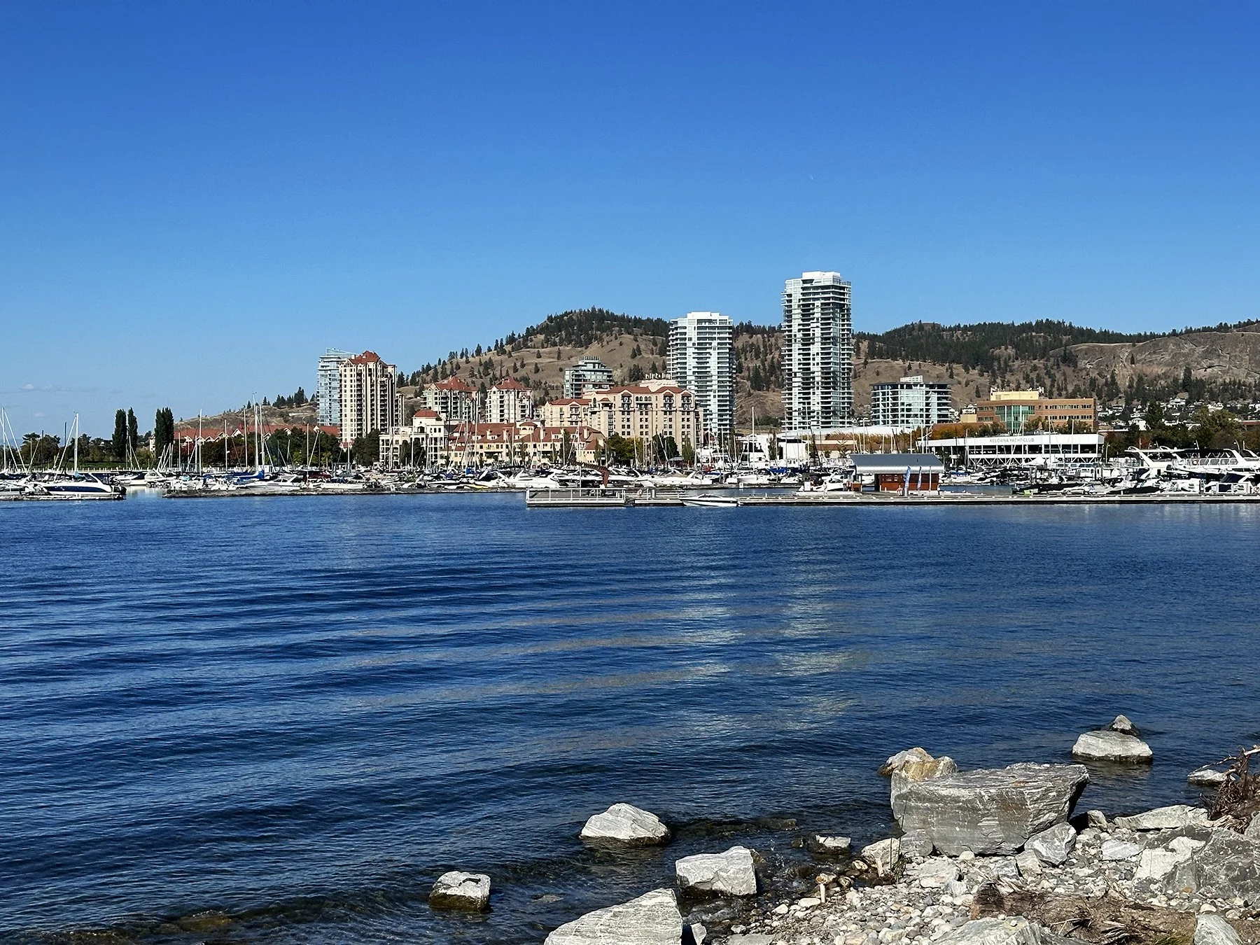
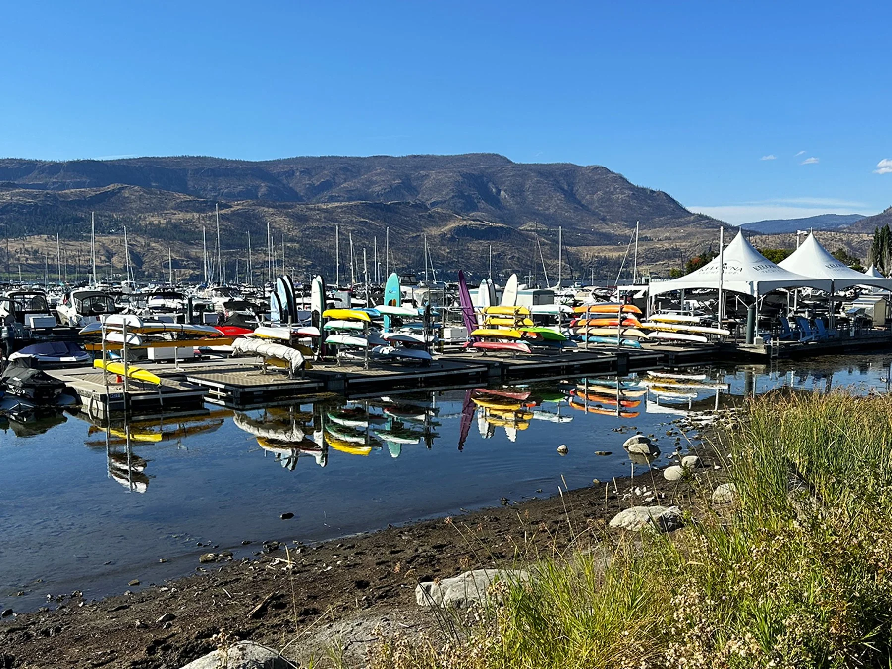
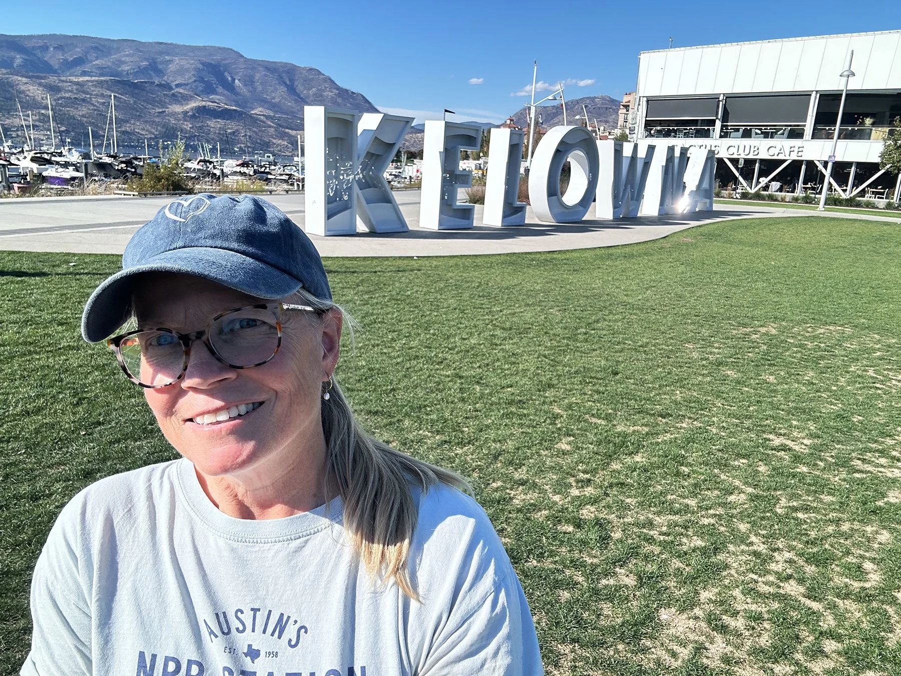
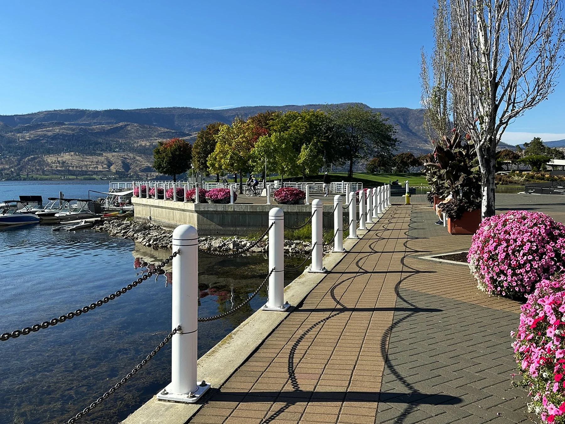
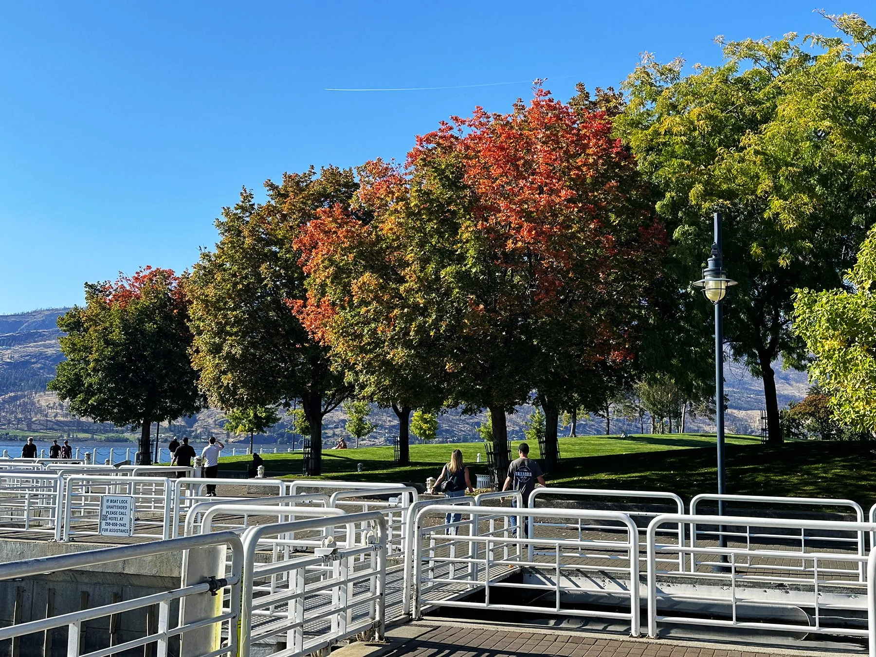
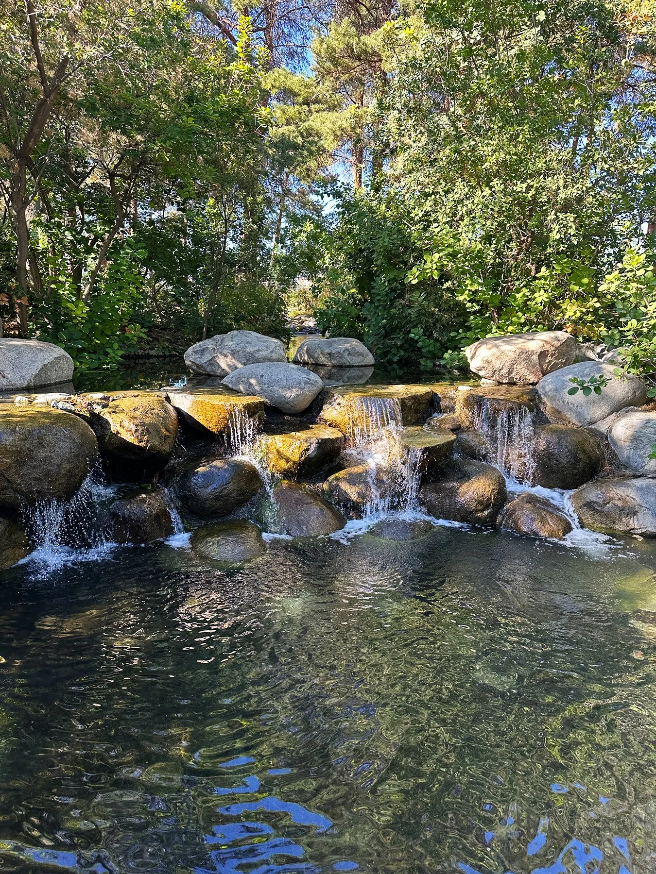
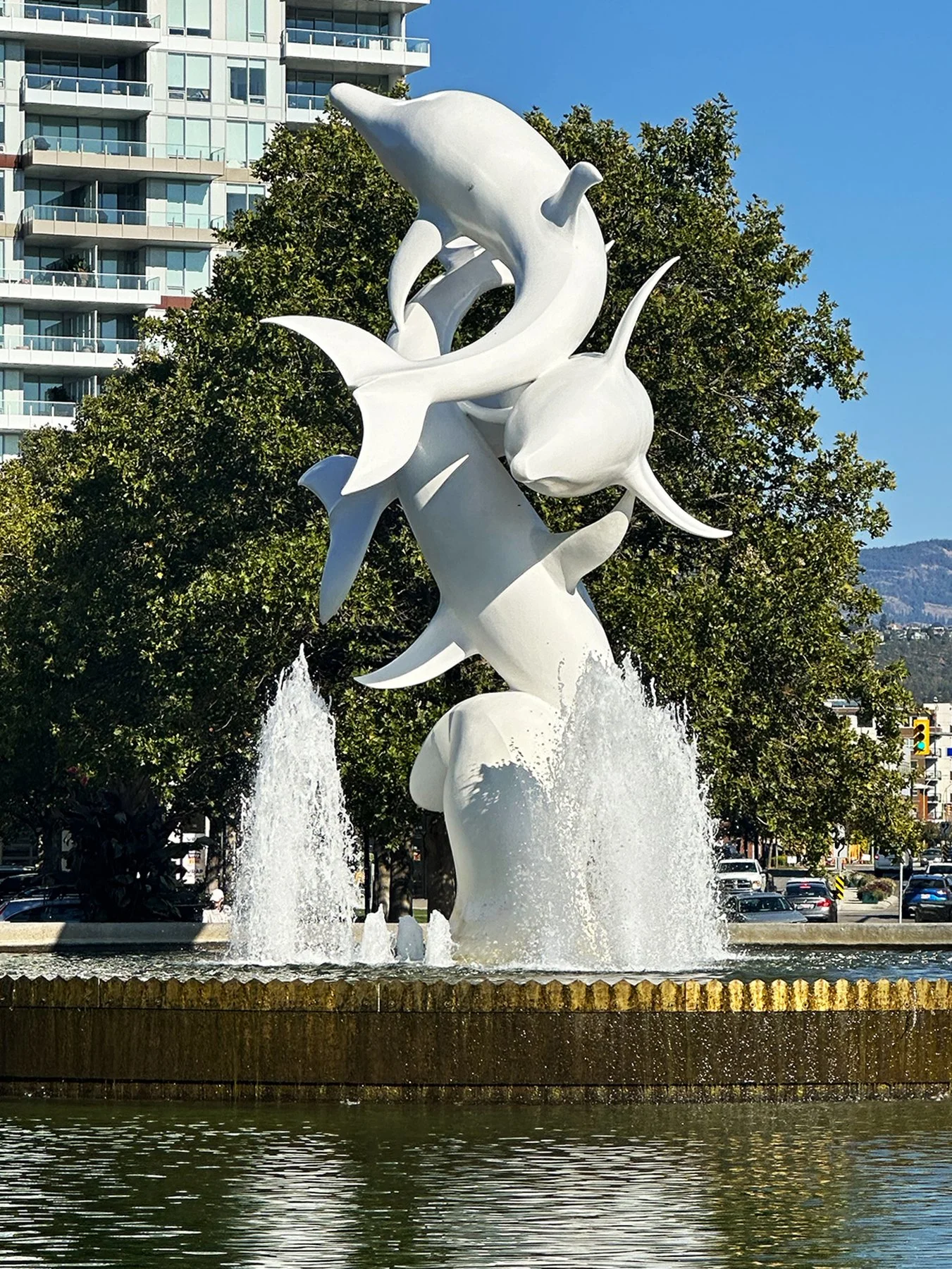
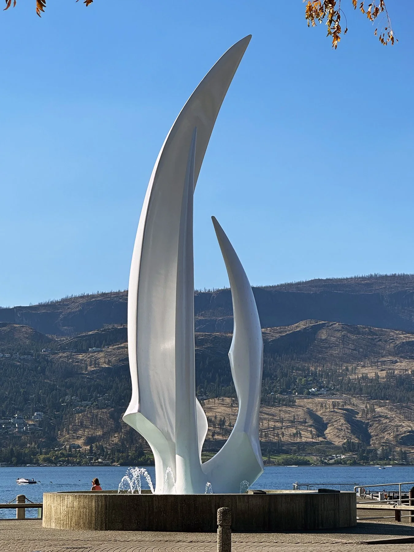
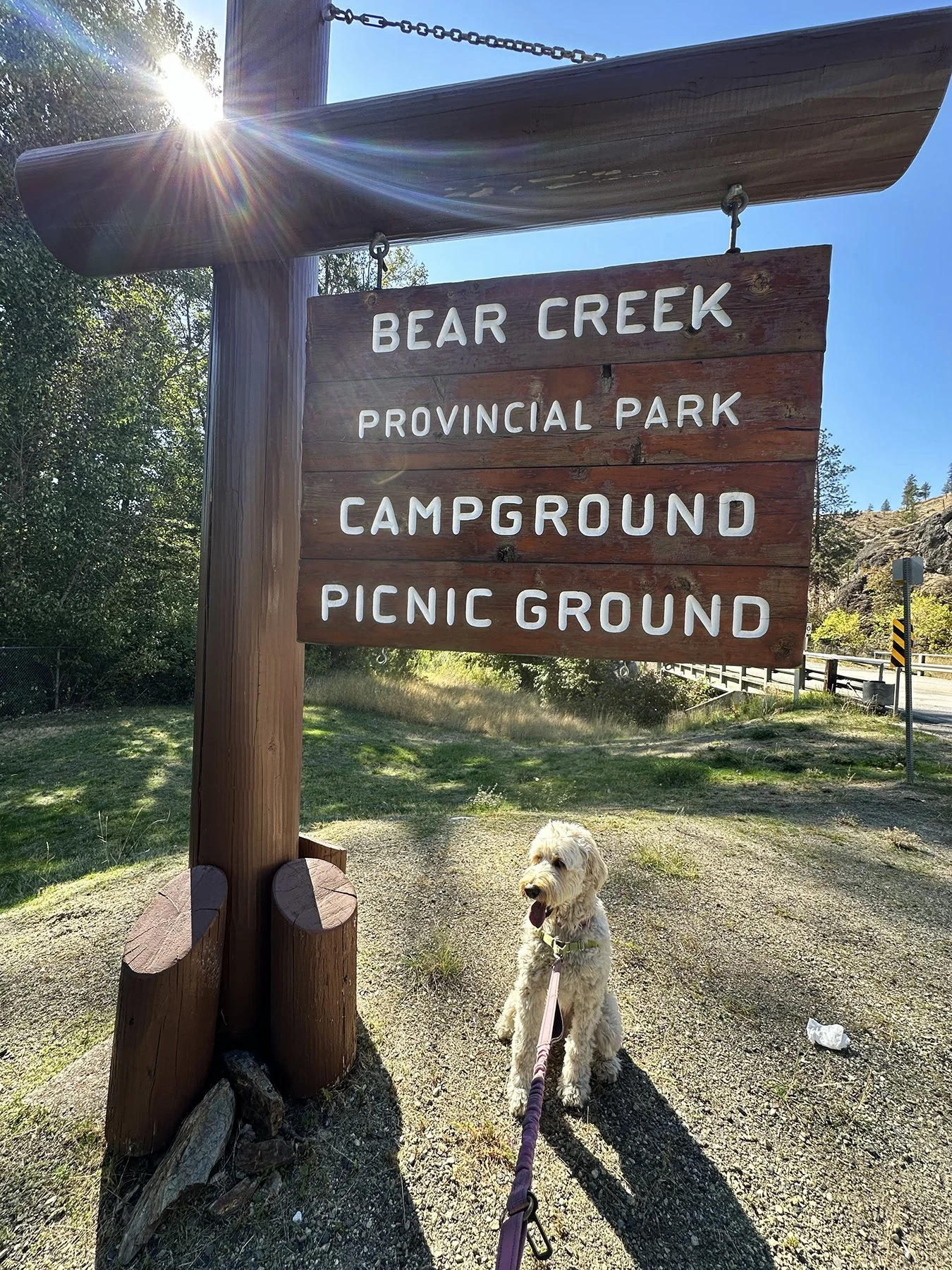
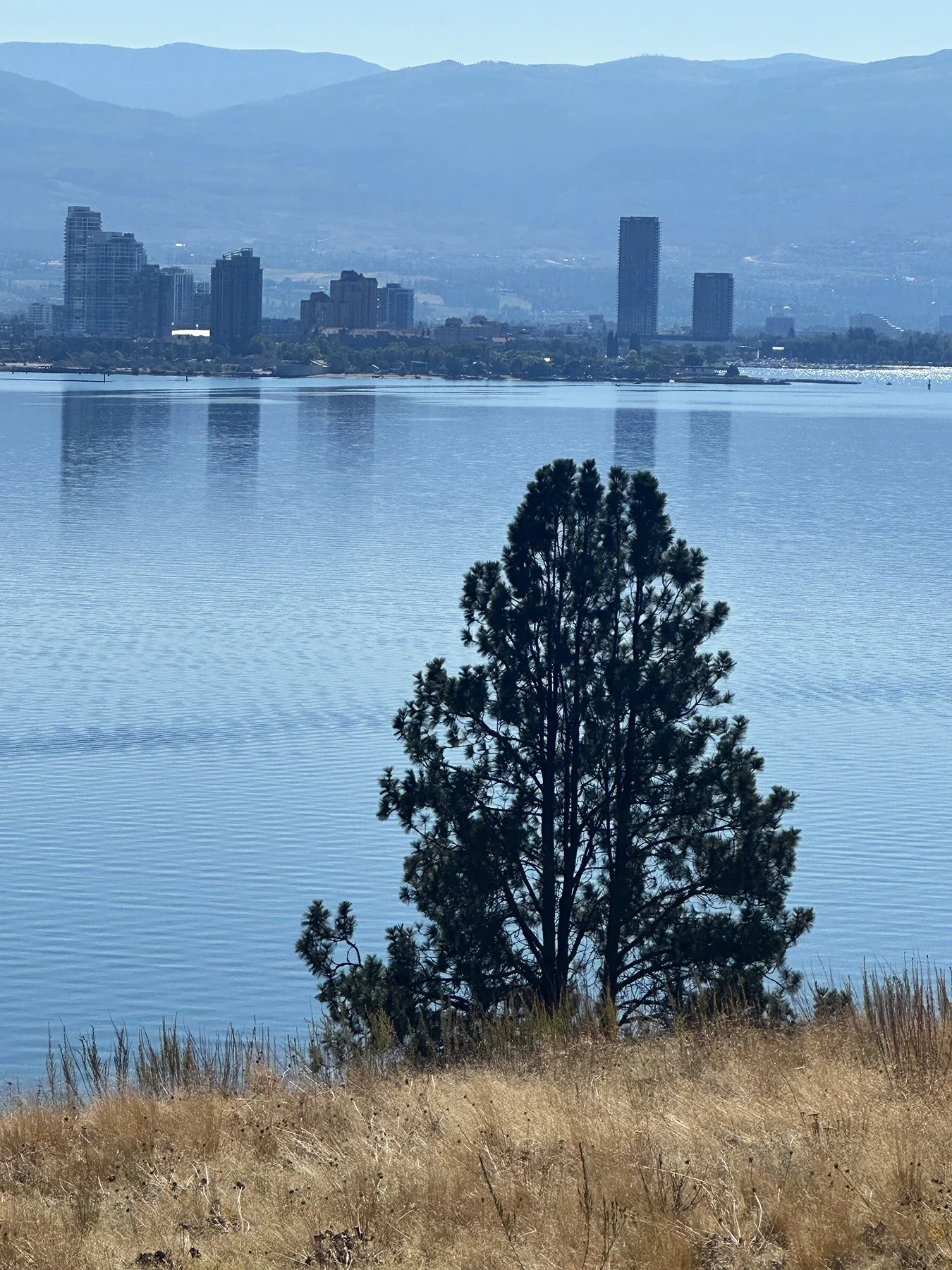
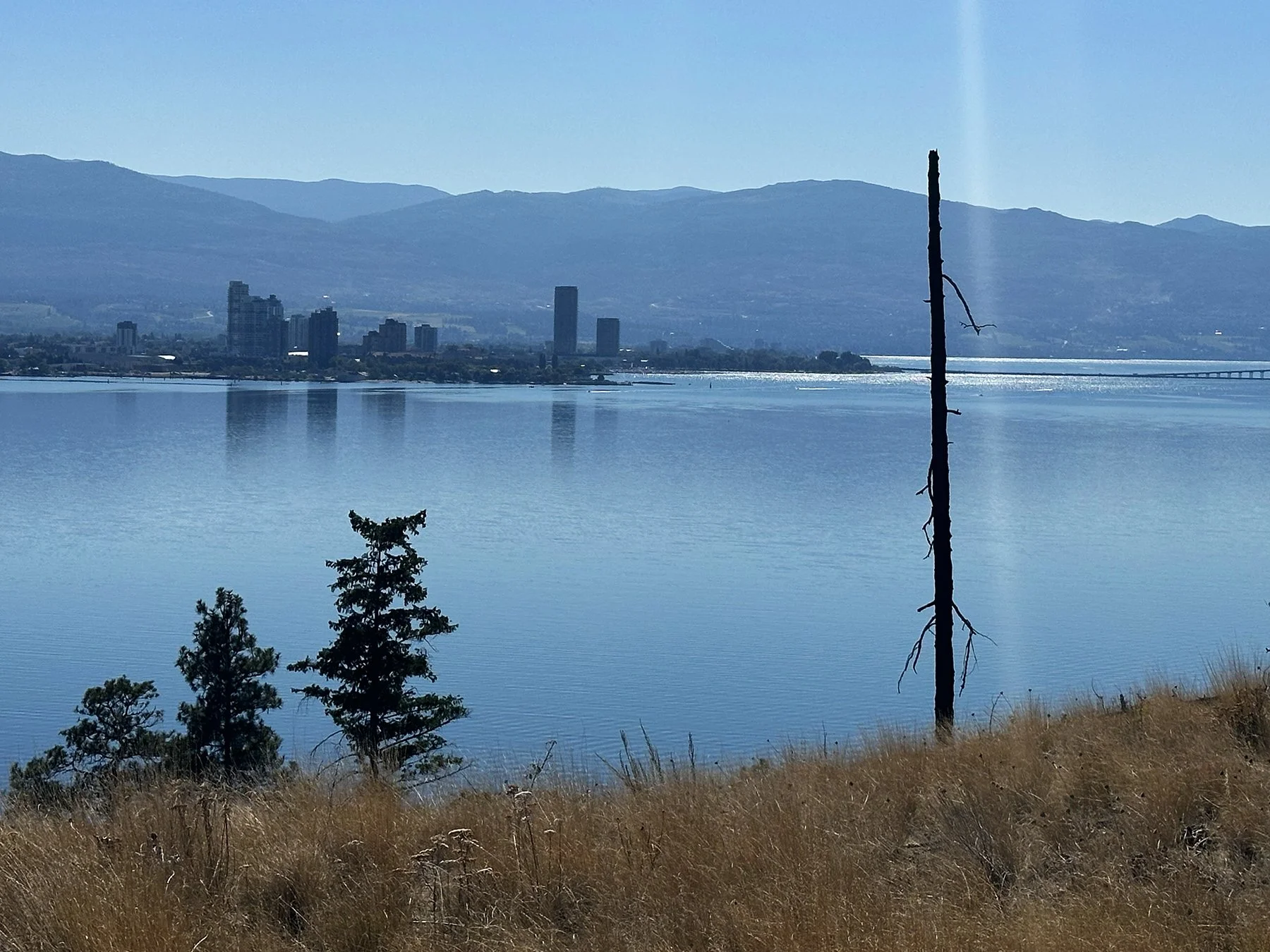
We also enjoyed viewing Kelowna from the other side of the lake, as Bear Creek Provincial Park became the focus of our next hike. This beautiful area is some of the most picturesque and interesting parkland in the Okanagan. Lovely sandy beaches, a spectacular canyon, and a Ponderosa pine/Douglas-fir grassland are a few of its attractions. Once again, I found the smell of pine to be intoxicating. We found plenty of wide-open grassy patches for Maisie to do her favorite thing—roll and roll and roll around! She is so funny. It also had what was to be an amazing trail up a canyon; unfortunately, it was closed due to some of the fires that devastated much of the area earlier this summer. We did manage to hike up about half a mile to catch some of the views of downtown Kelowna across the lake.
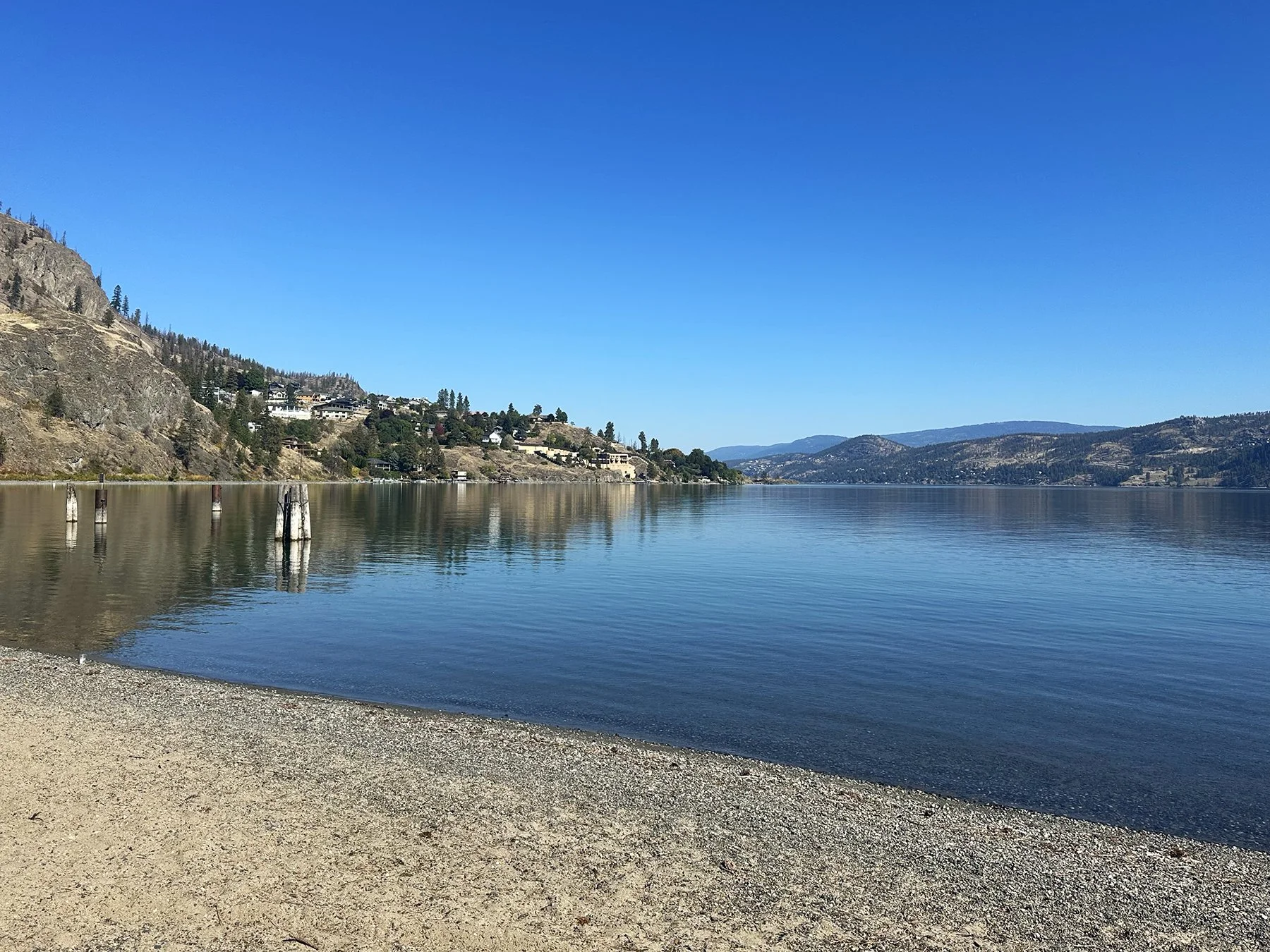
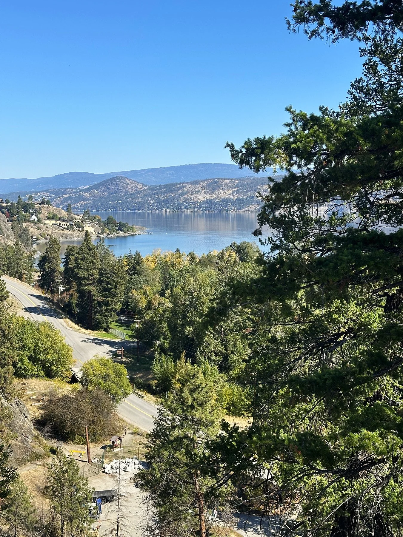
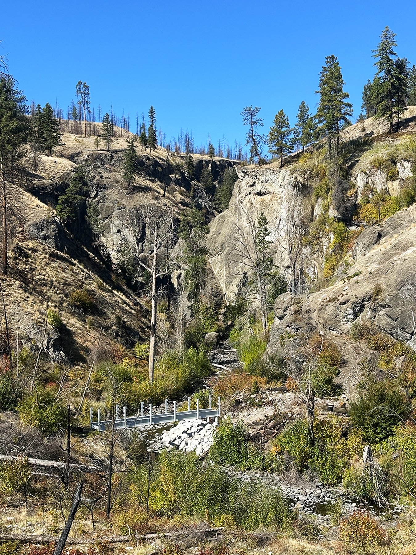
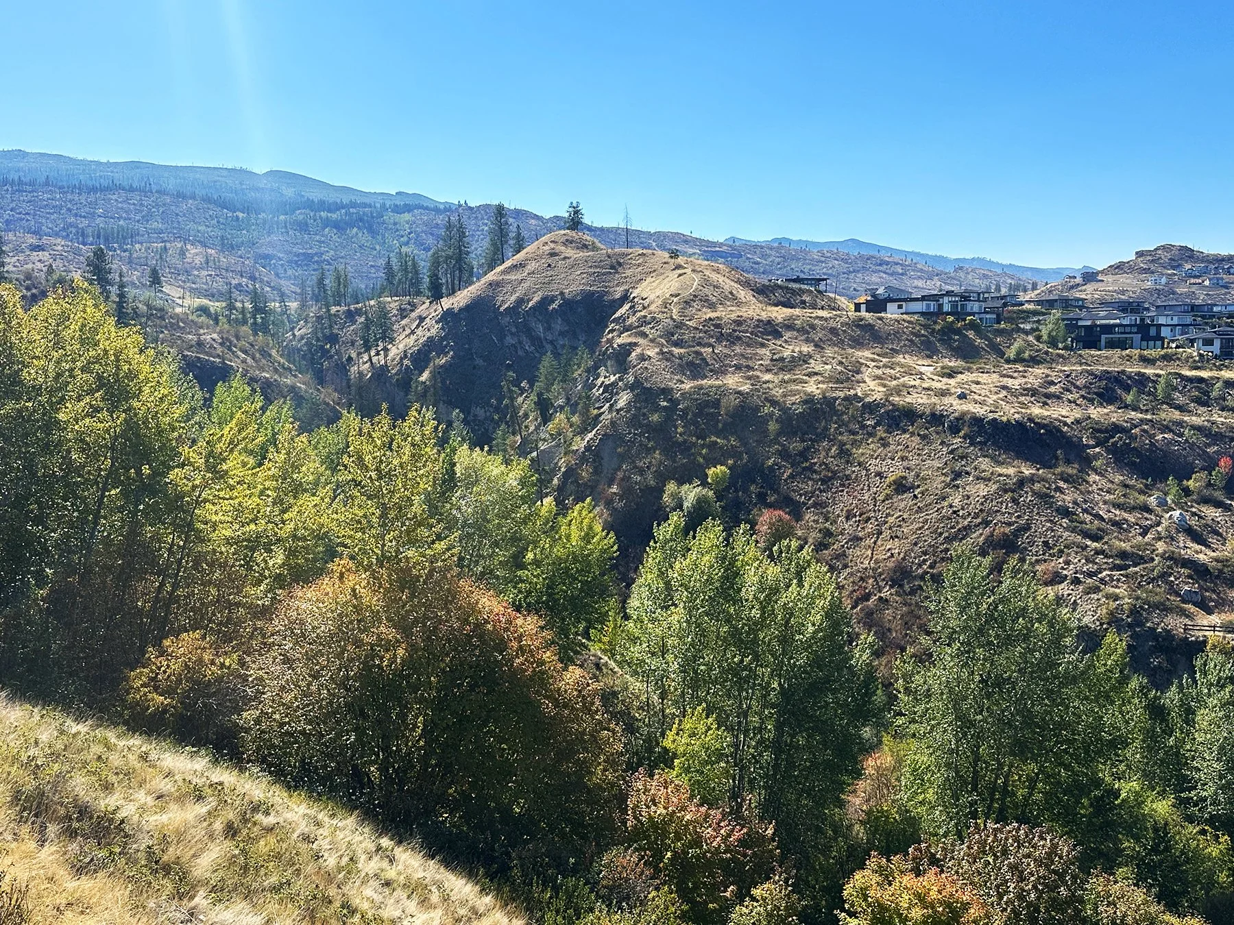
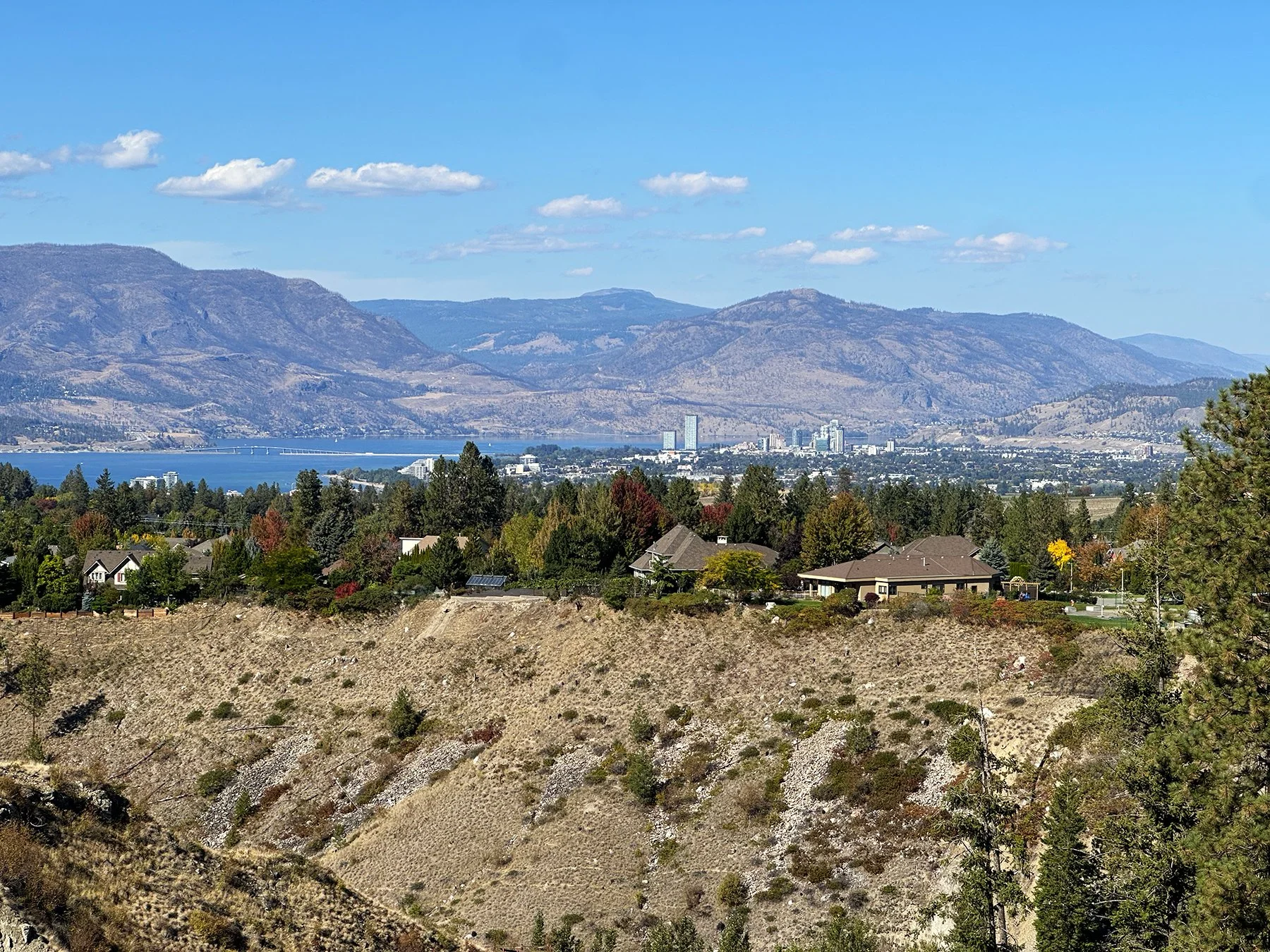
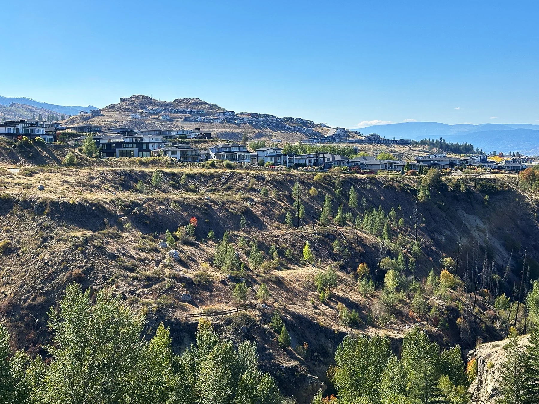
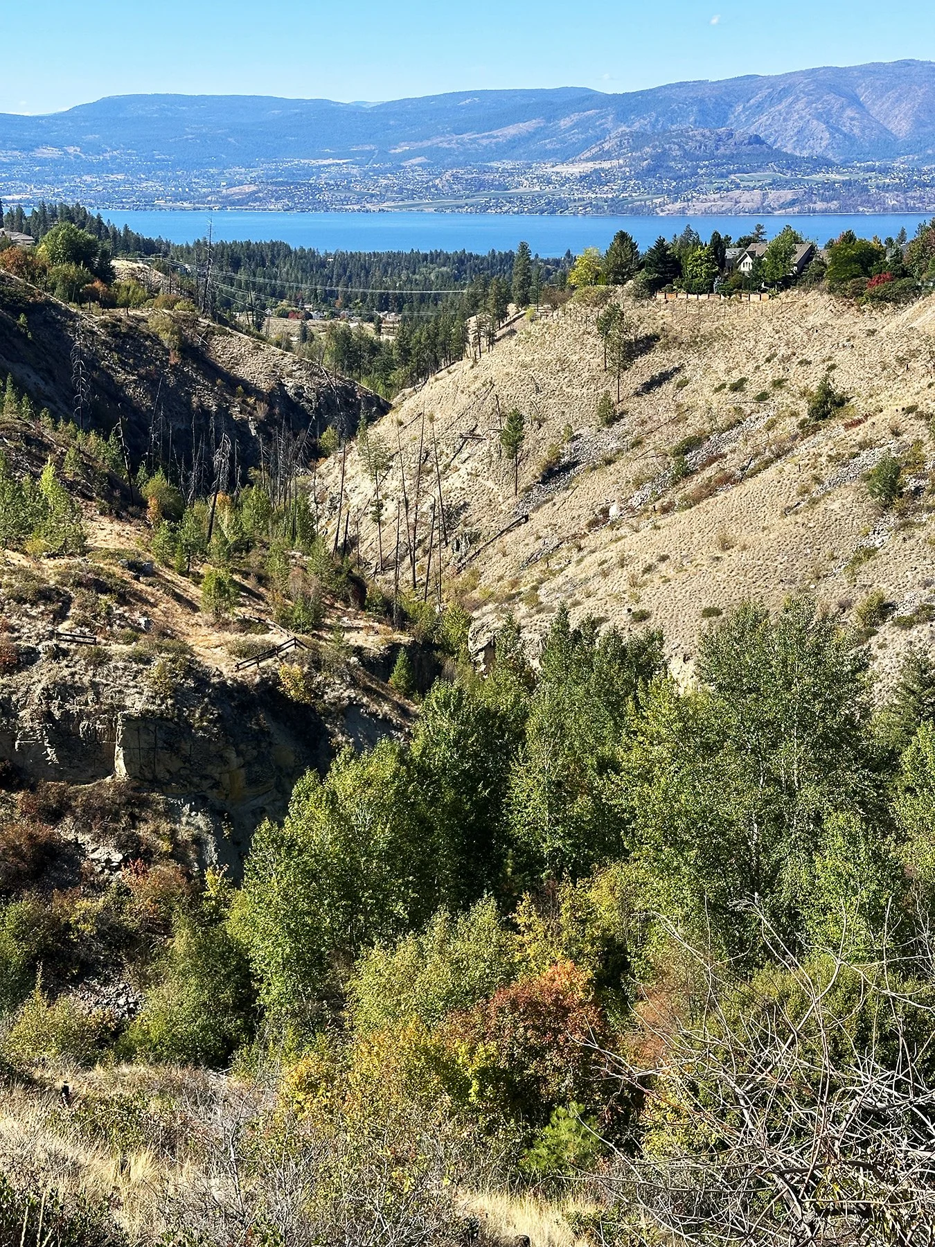
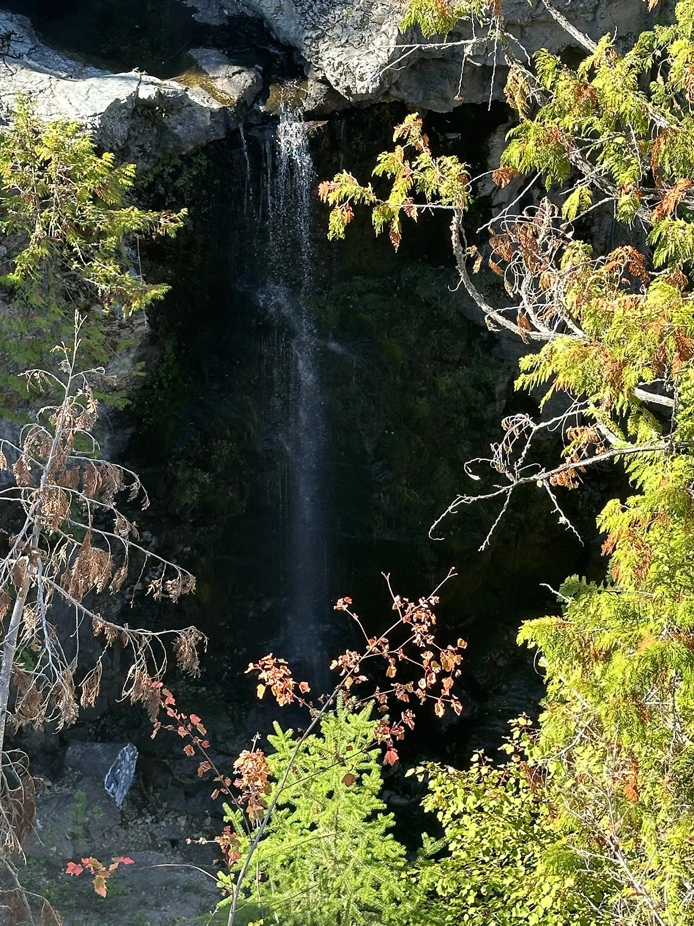
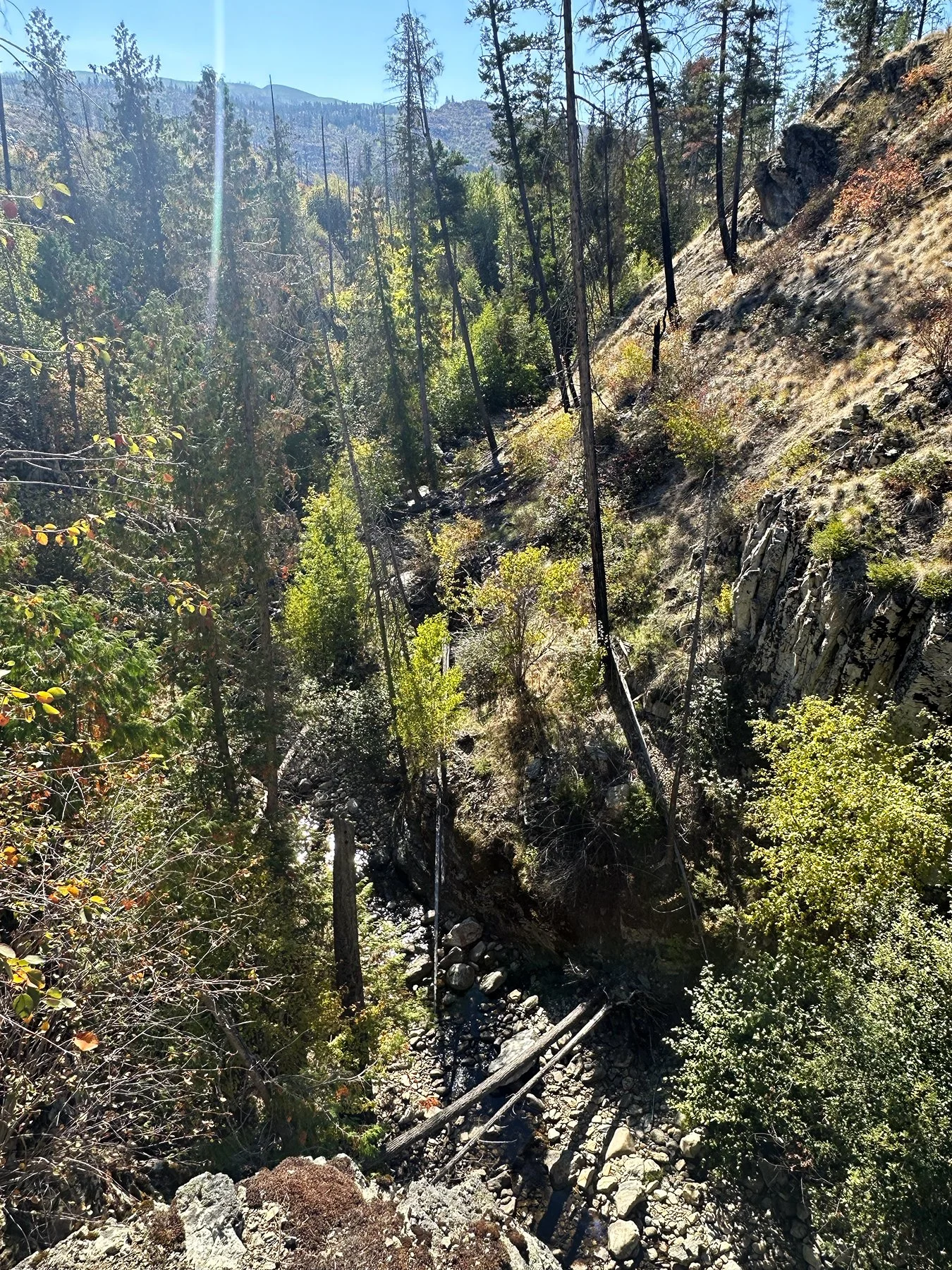
Itching to see some waterfalls, we next headed to Crawford Falls in South Kelowna. The access point was through a neighborhood somewhat similar to Circle C in Austin, but once you round the corner, you’re facing a beautiful and rugged canyon. The original trail heading down to the two main waterfalls was actually closed due to dangerous conditions. Not to be deterred, I discovered a series of trails around the canyon so we forged ahead.
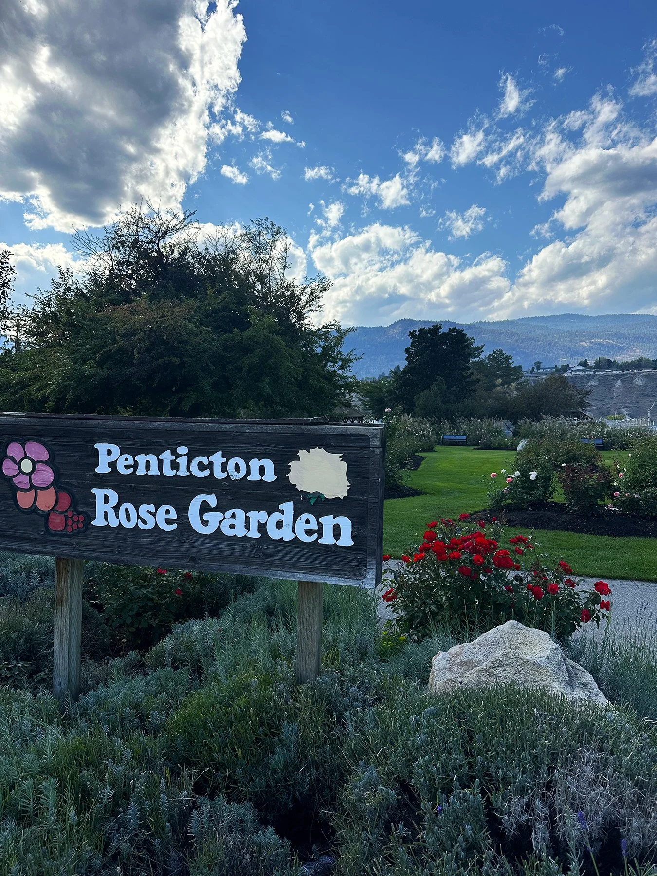
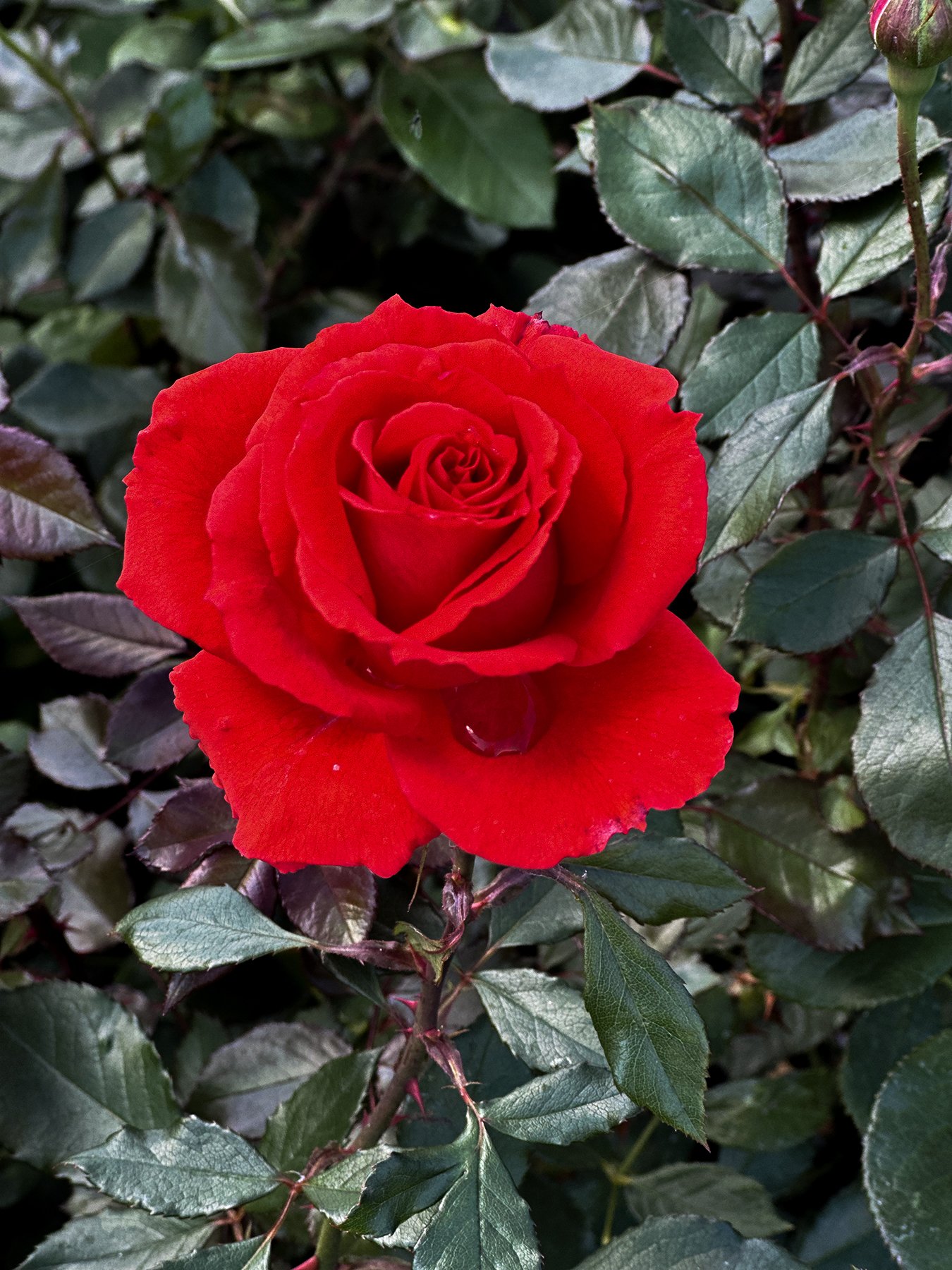
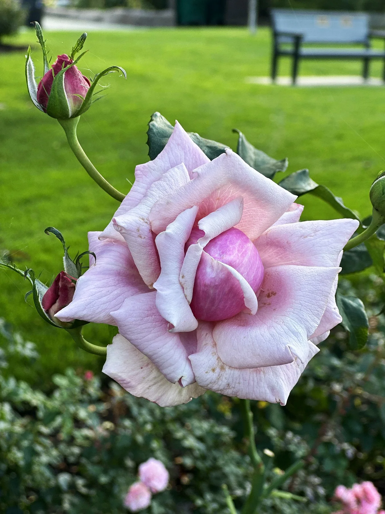
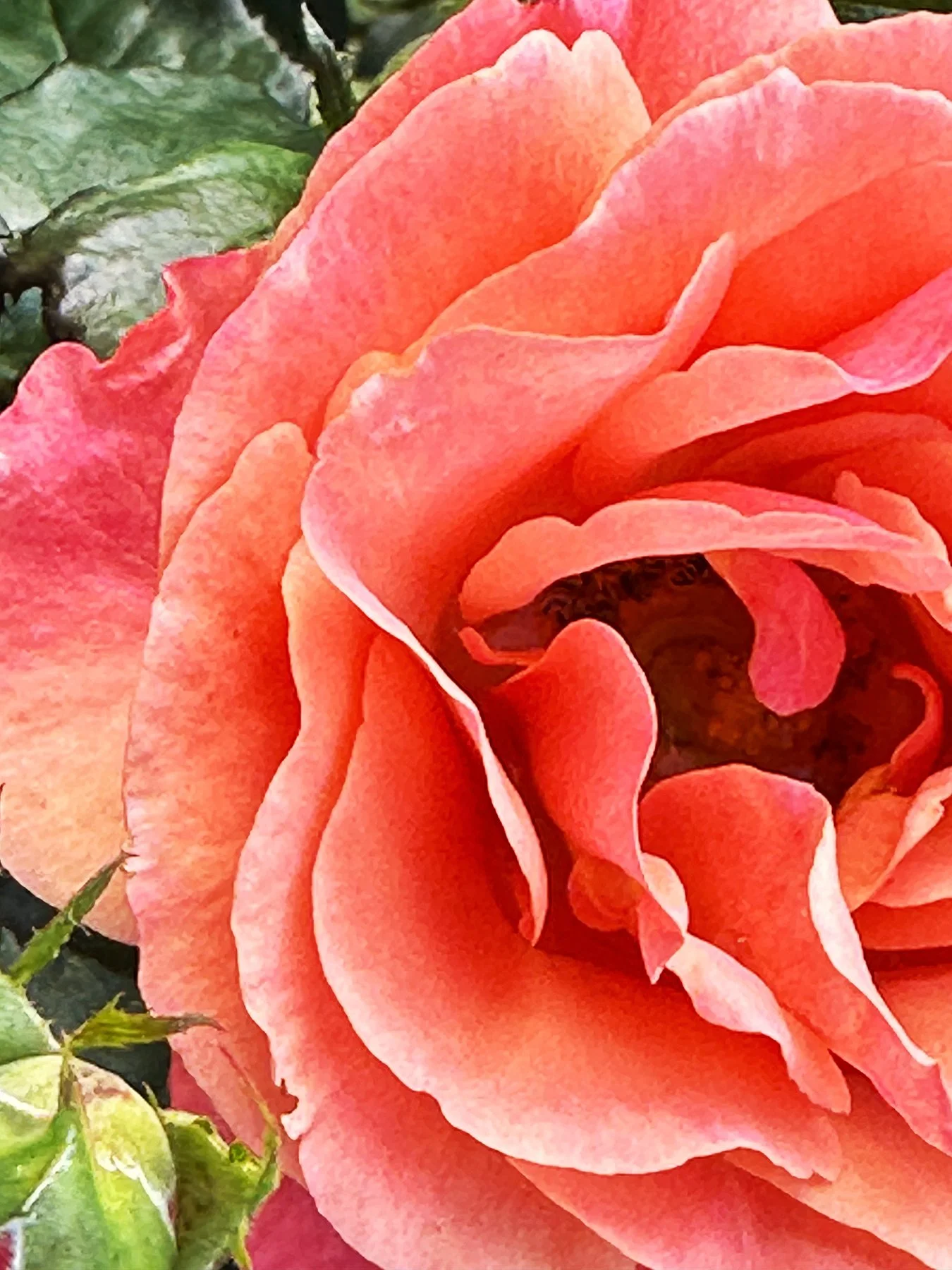
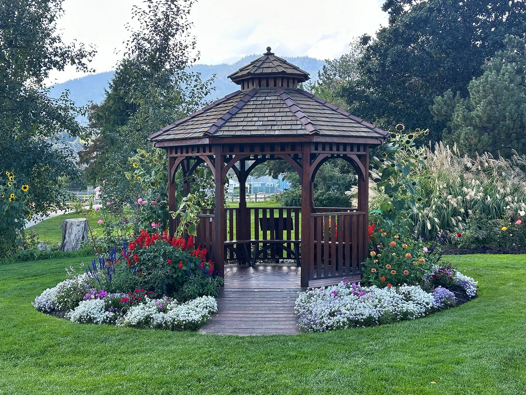
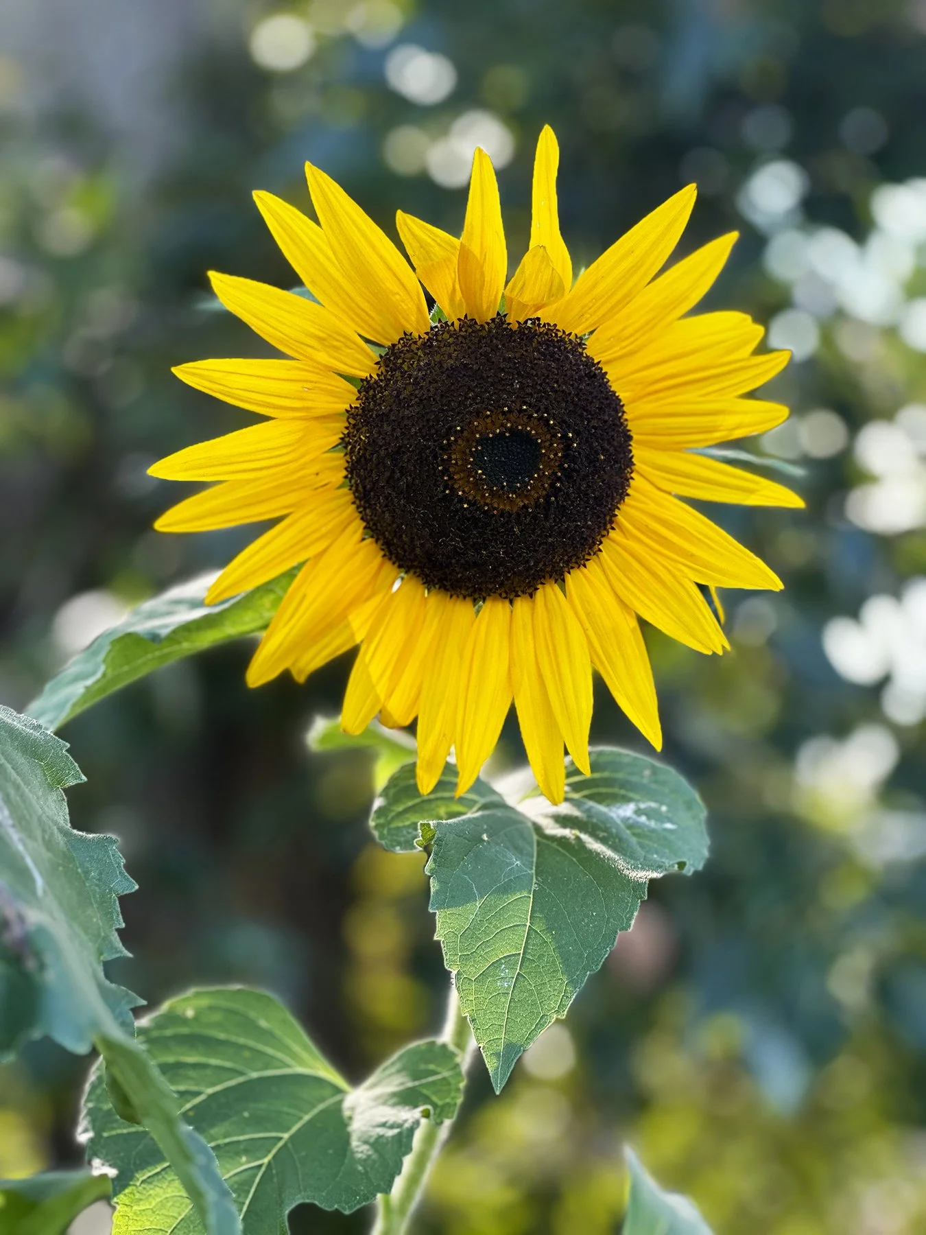
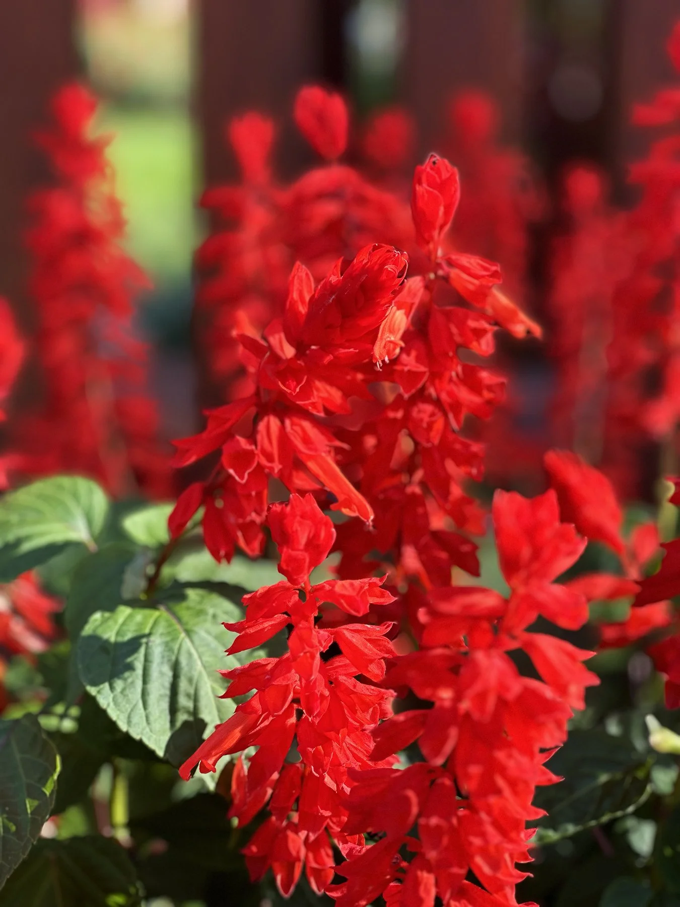
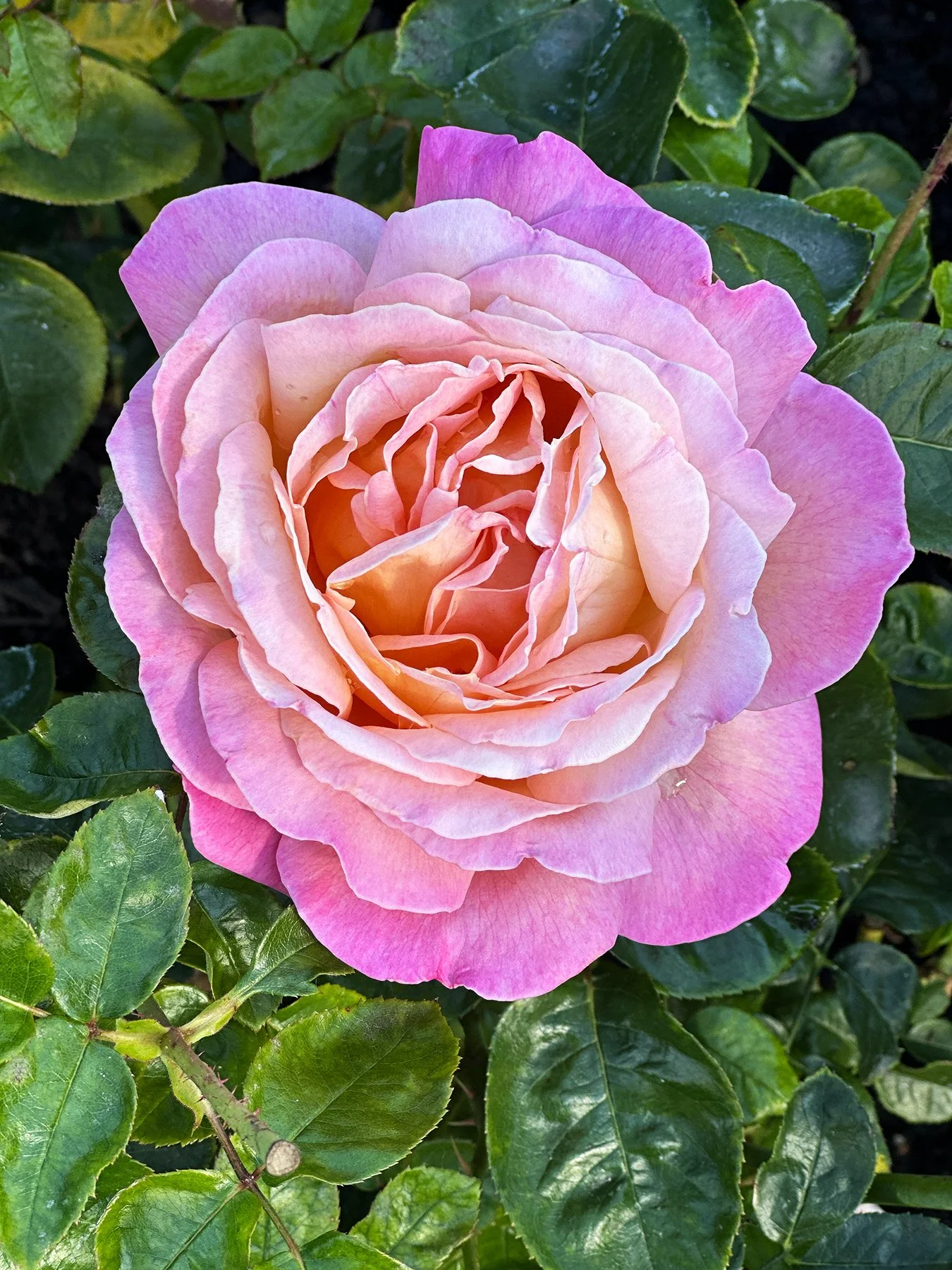
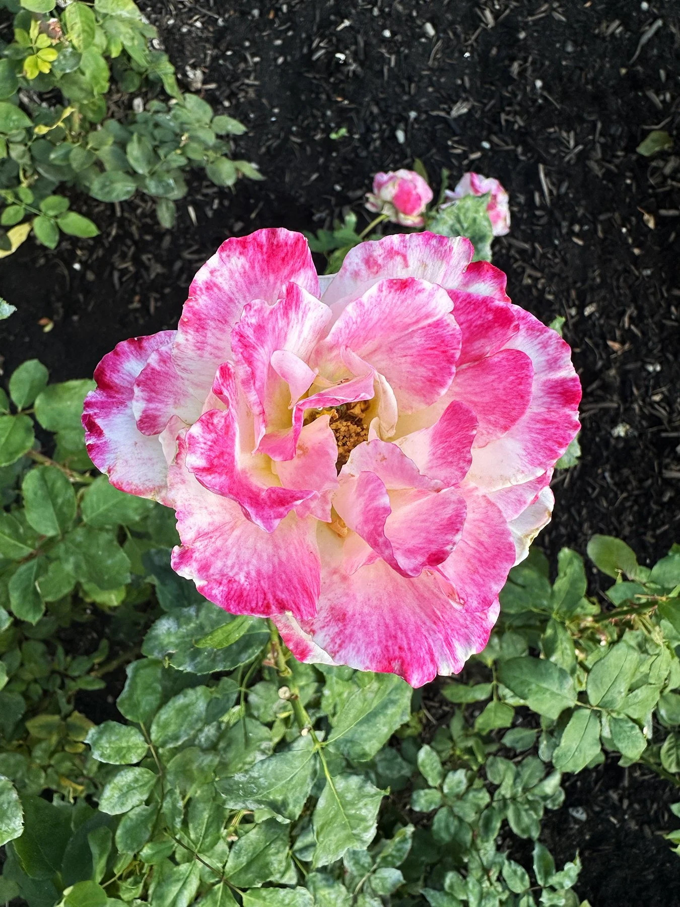
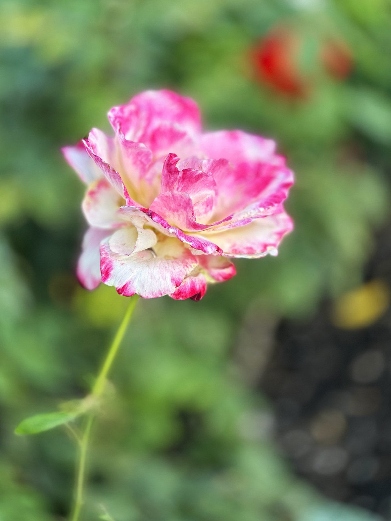
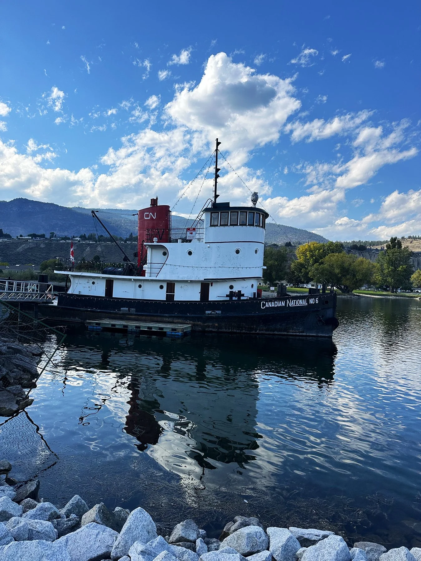
Our last little side trip in the Valley took us to the small town of Penticton. The best, and perhaps most surprising discovery? The Penticton Rose Garden. I love, love, love capturing the beauty of each type of flower, even with just my litte ole iPhone. During my dad’s retirement many years ago, he picked up a hobby of photographing flowers, so I enjoyed channeling my inner Dad!
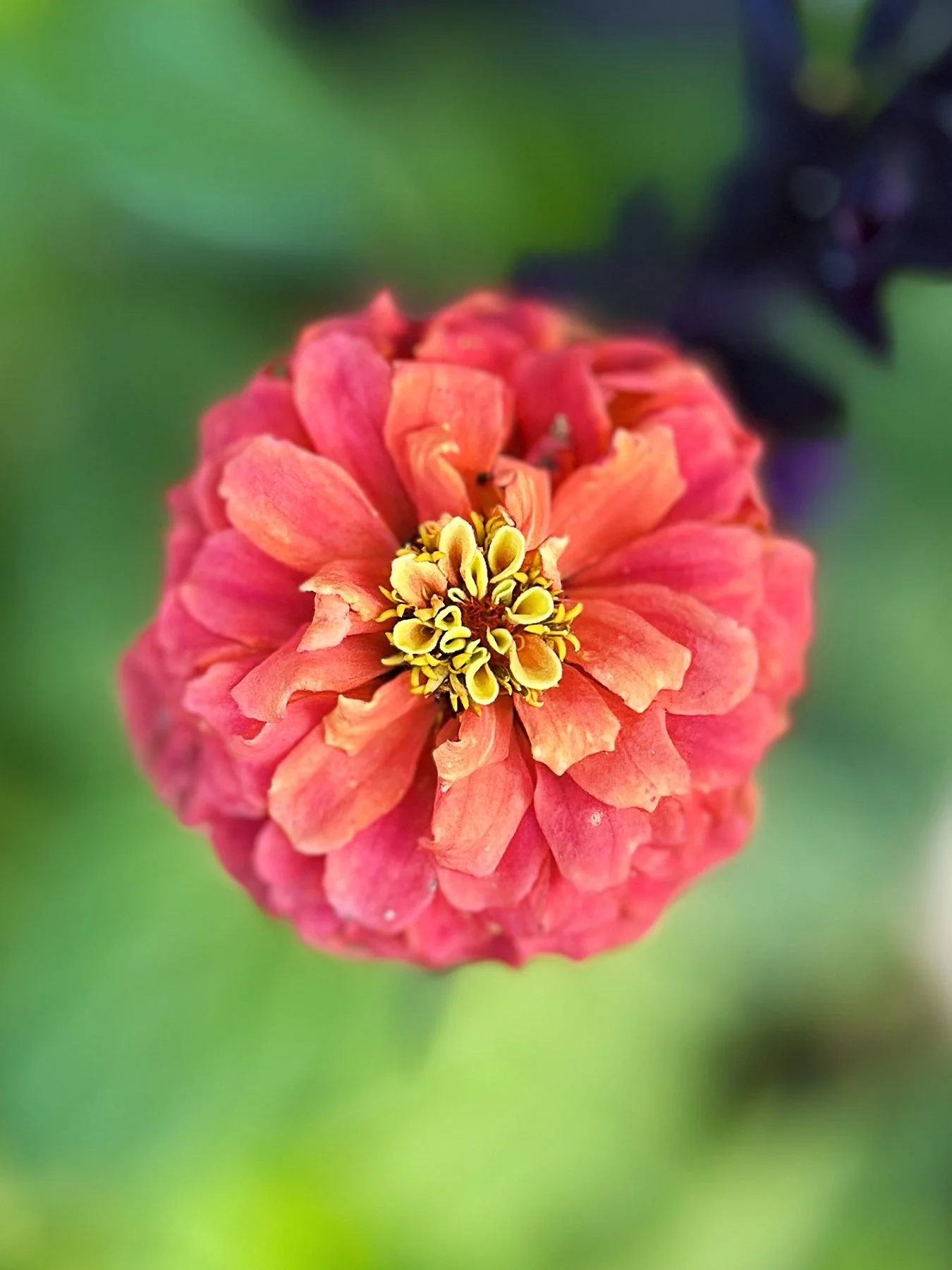
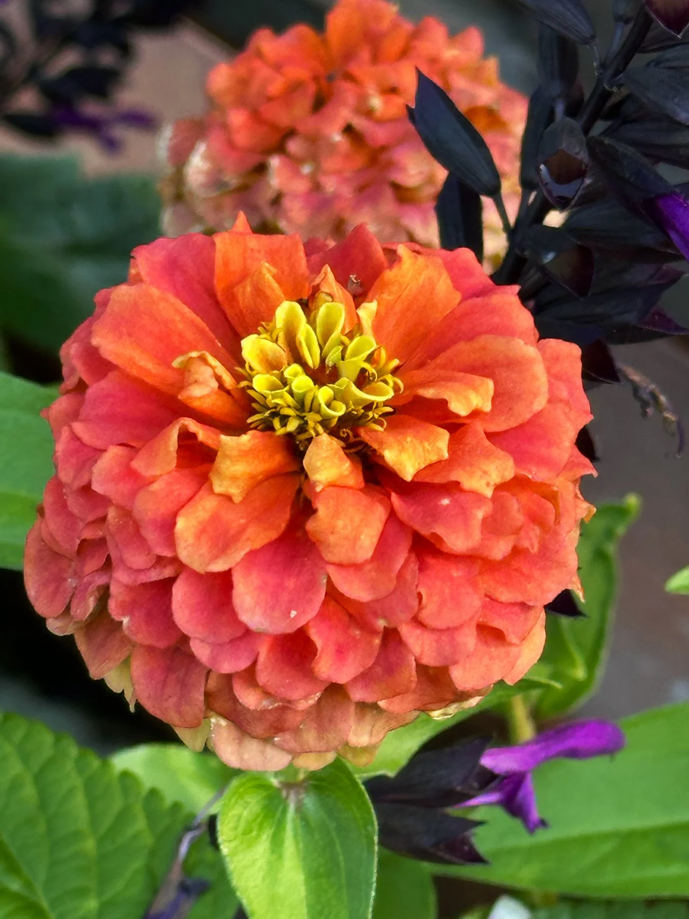
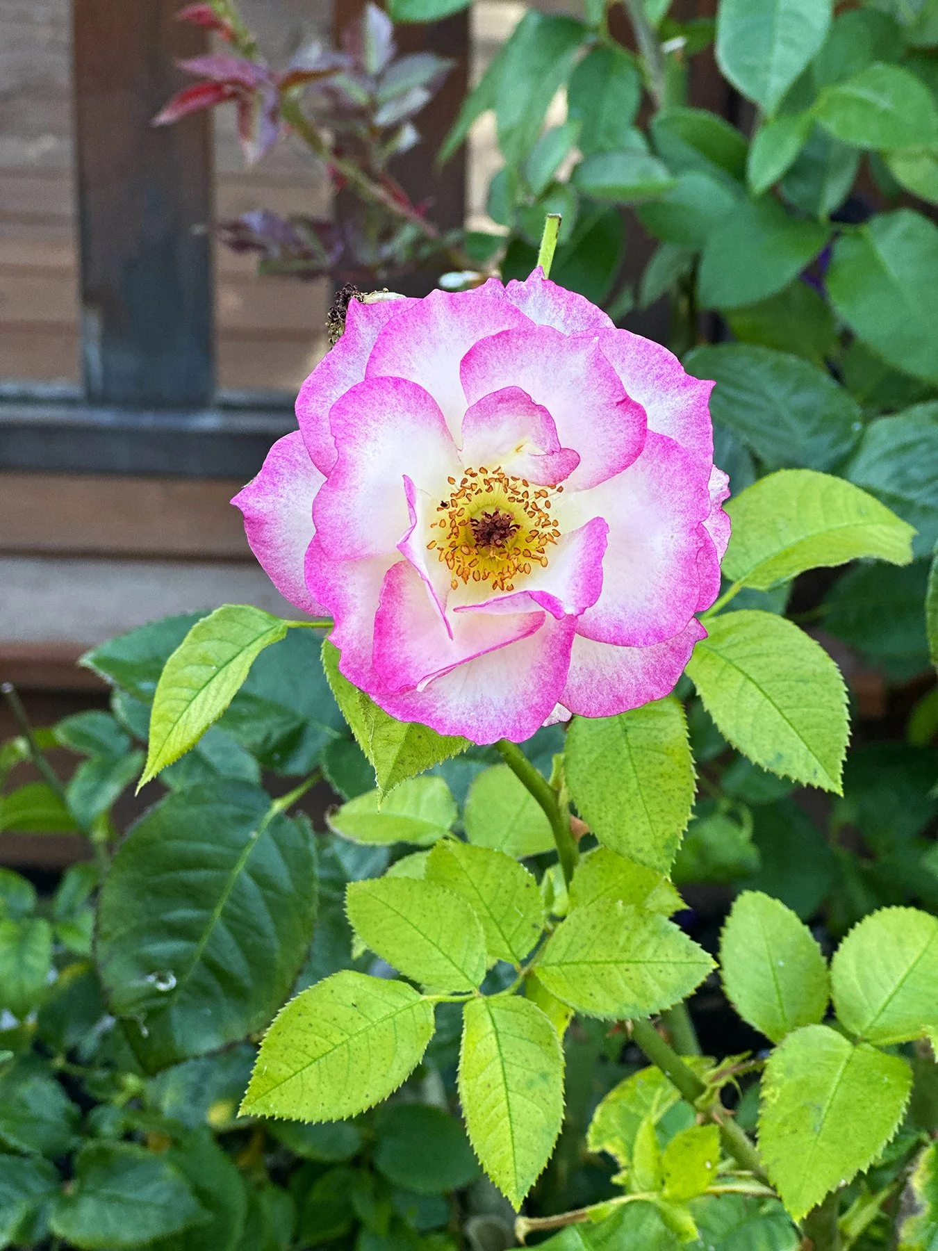
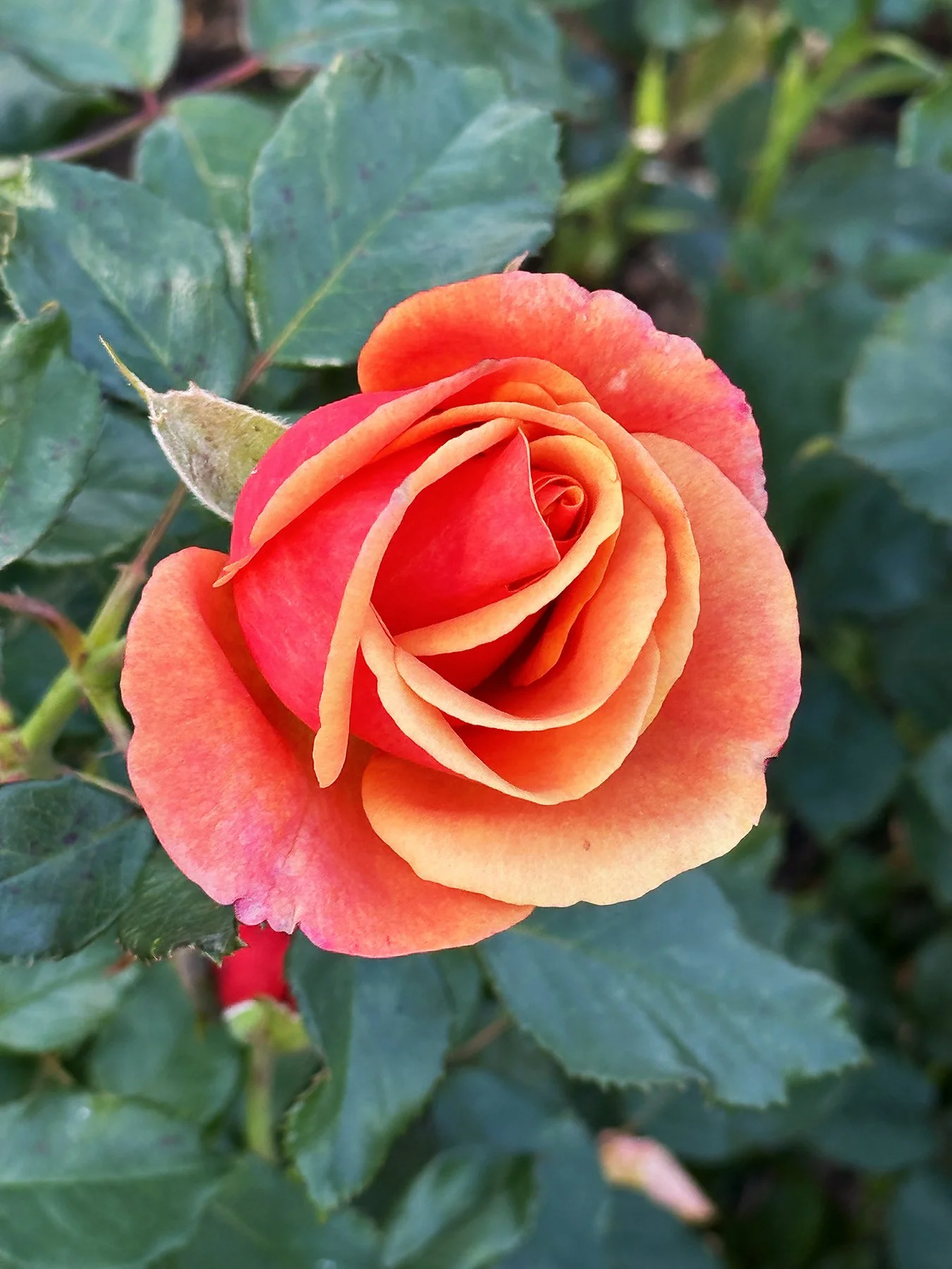
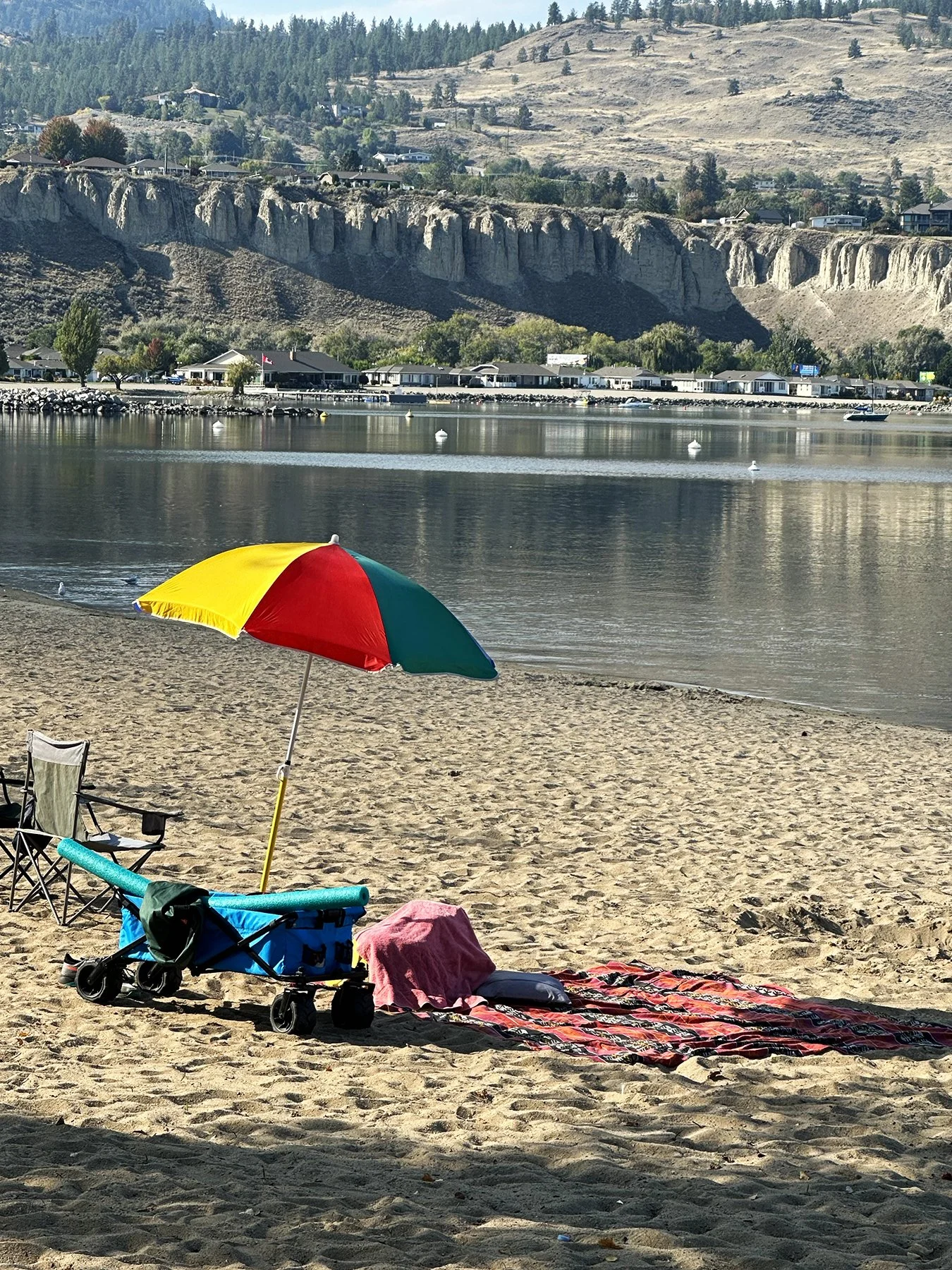
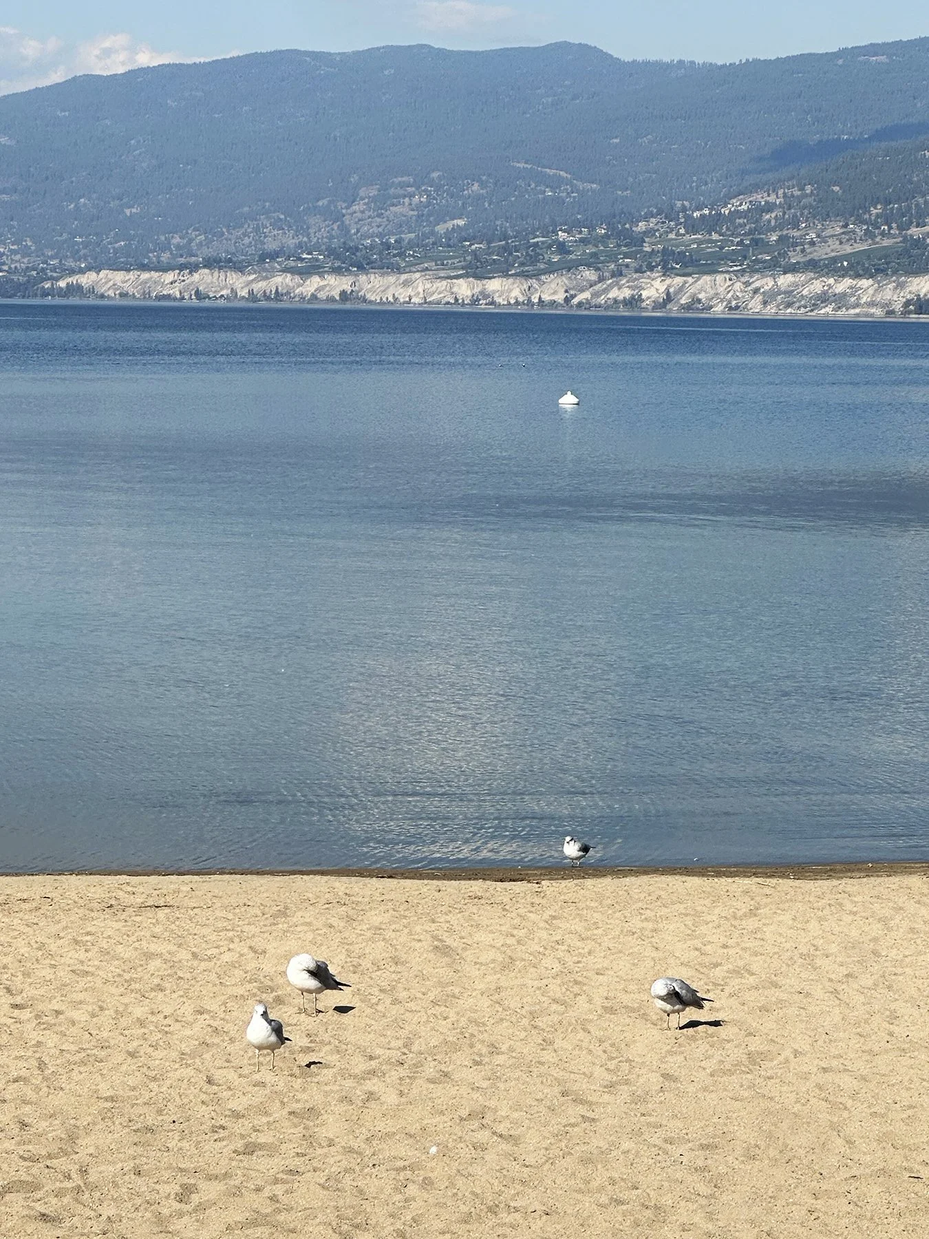
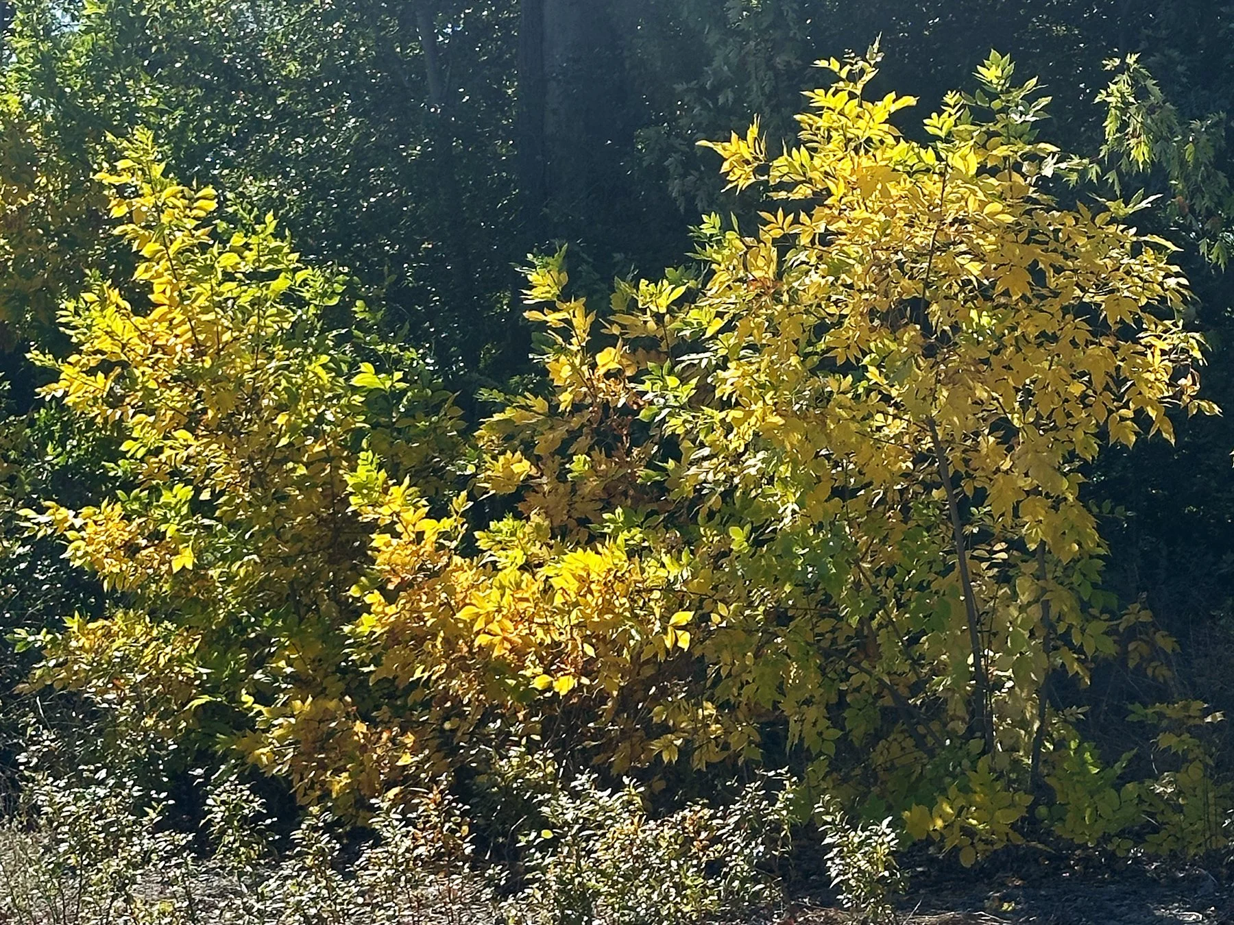
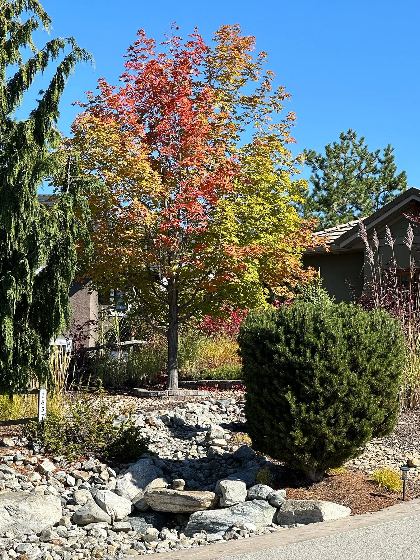
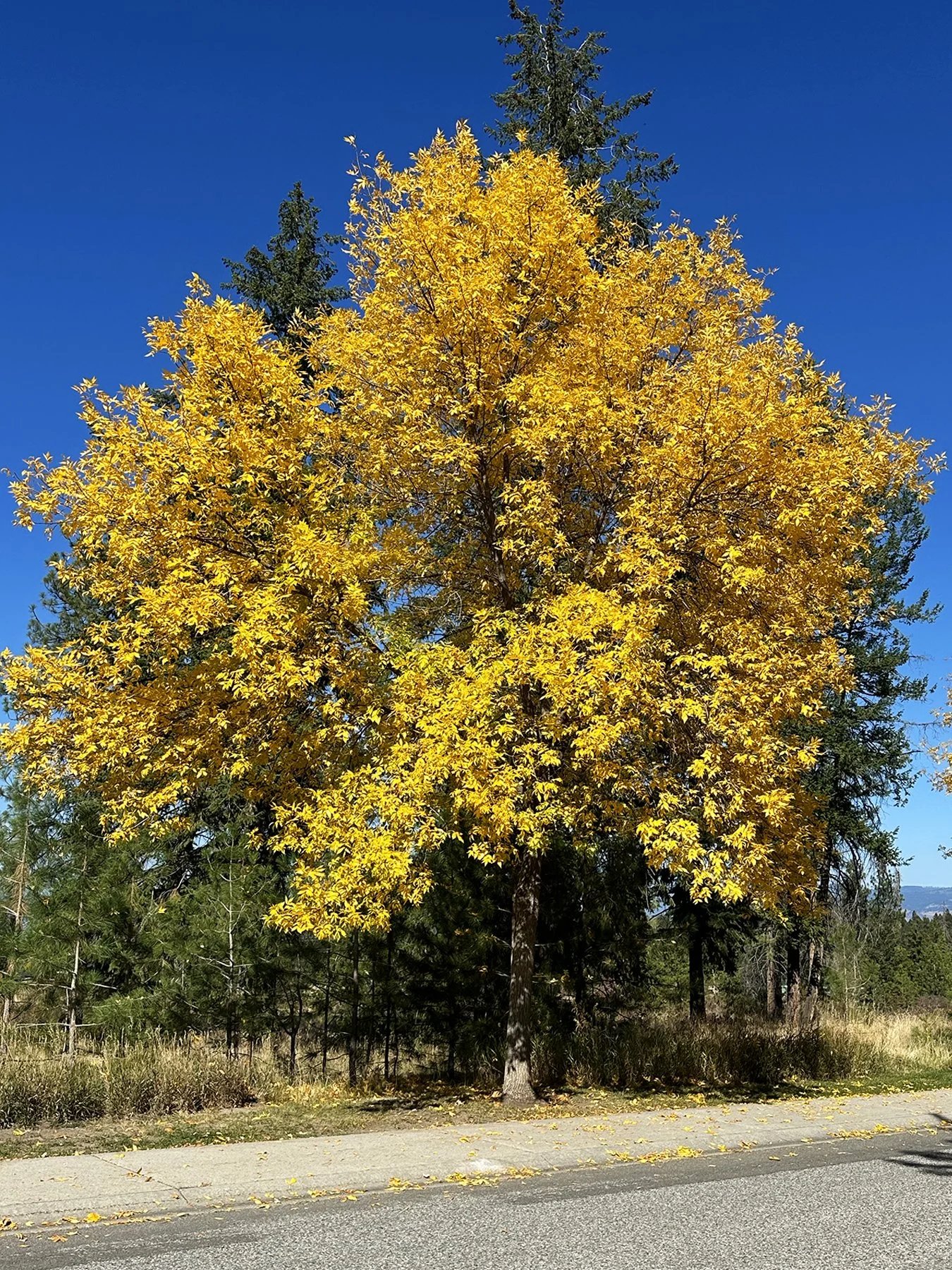
The two weeks we spent in the Okanagan Valley were truly splendid. With the air cooling, the leaves beginning to turn, and beautiful scenery everywhere you look, I counted my blessings daily to be able to explore such an amazing place. Thank you for coming along with me. :D