The Emerald City + Epic World Cup Action
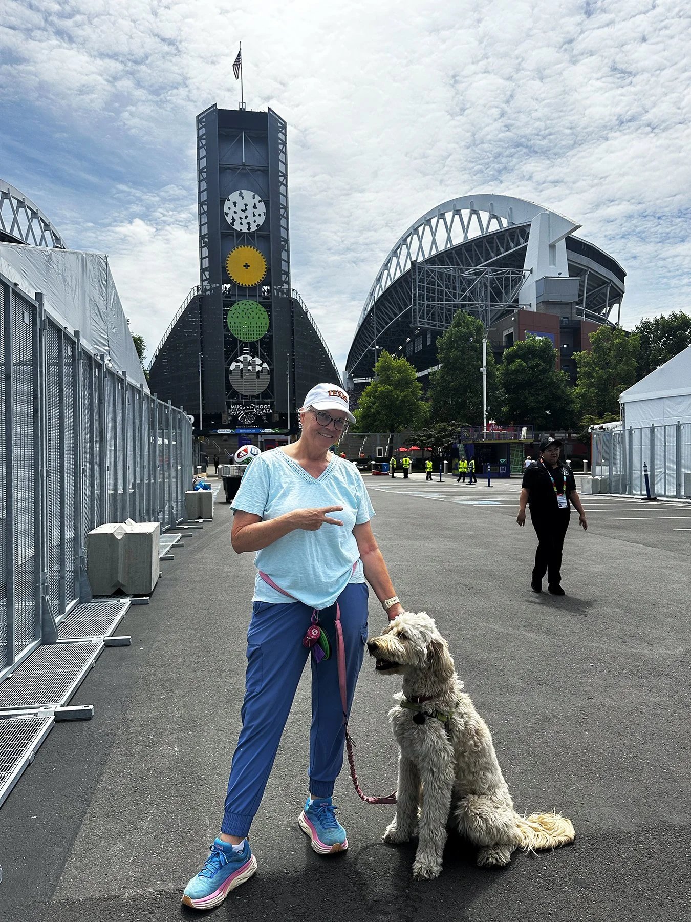
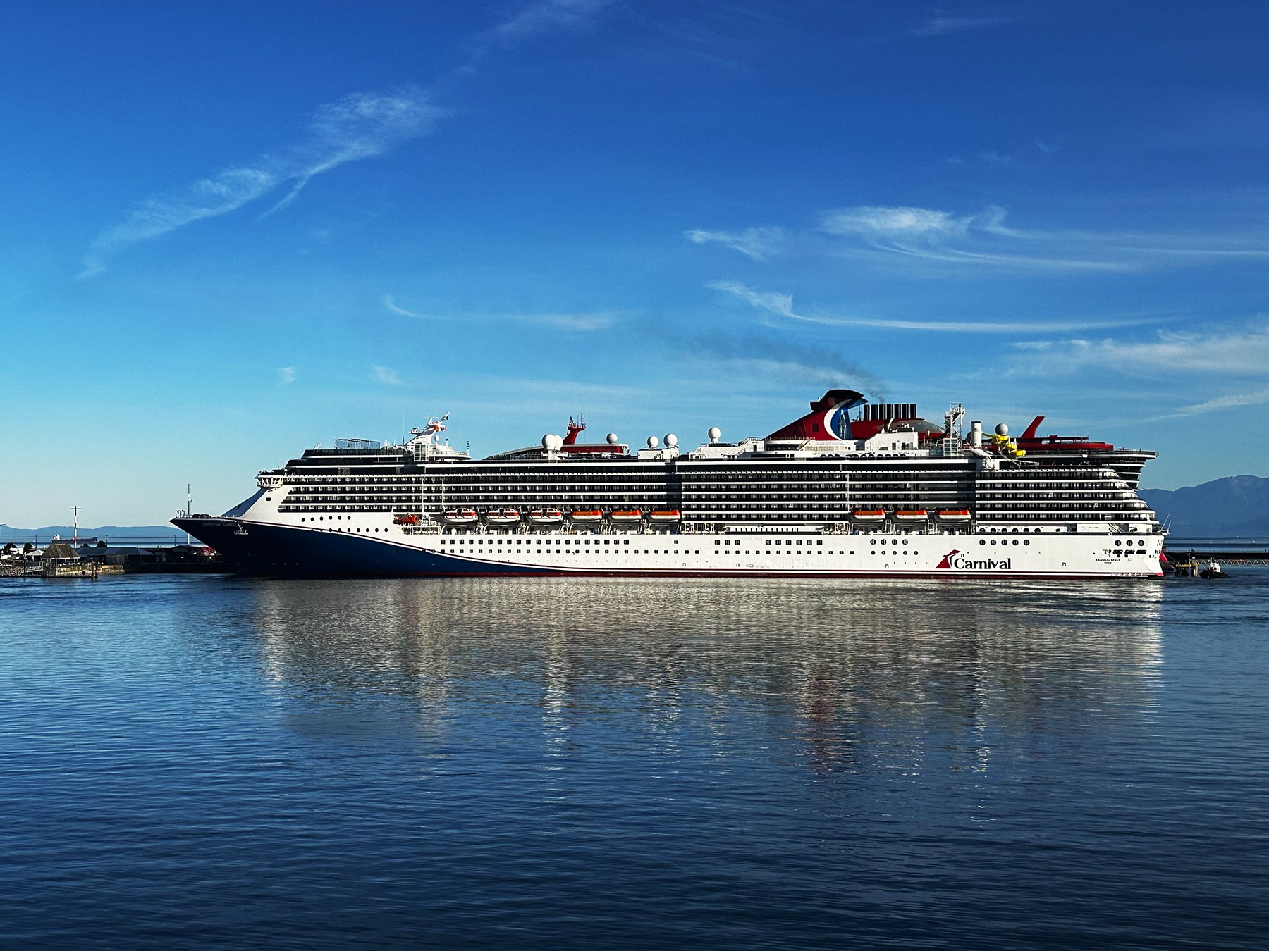
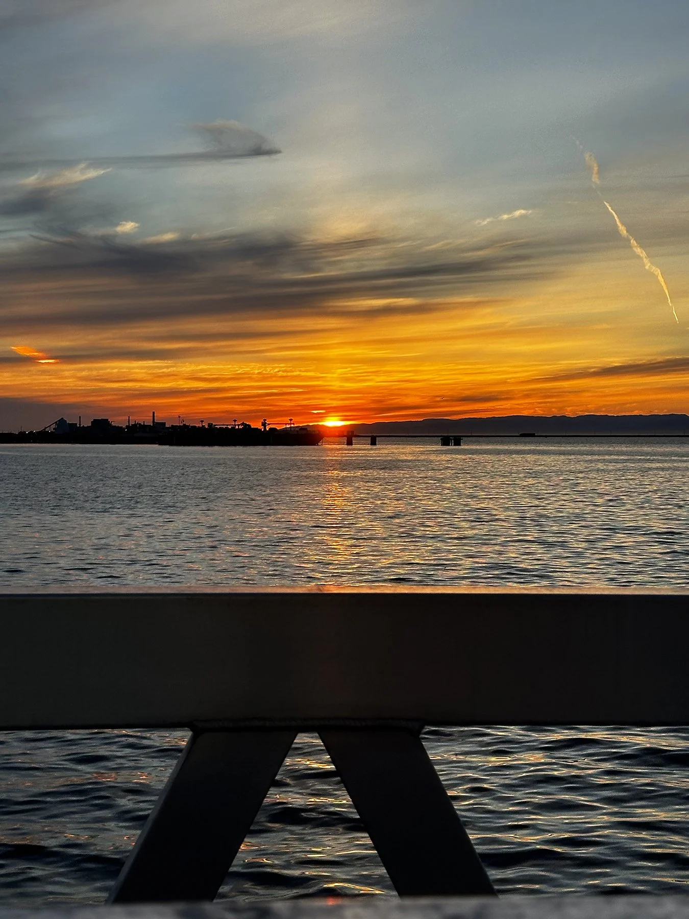
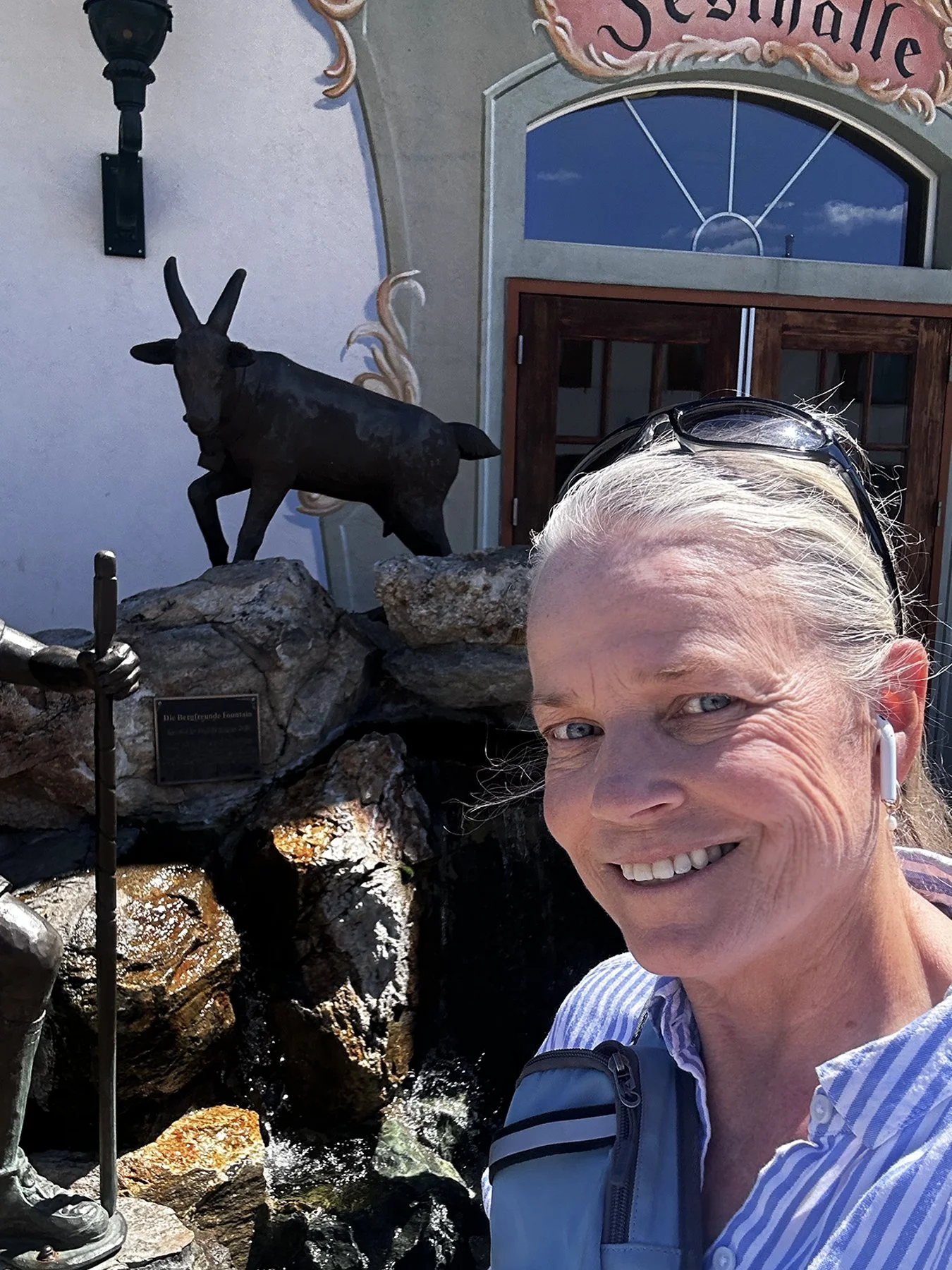
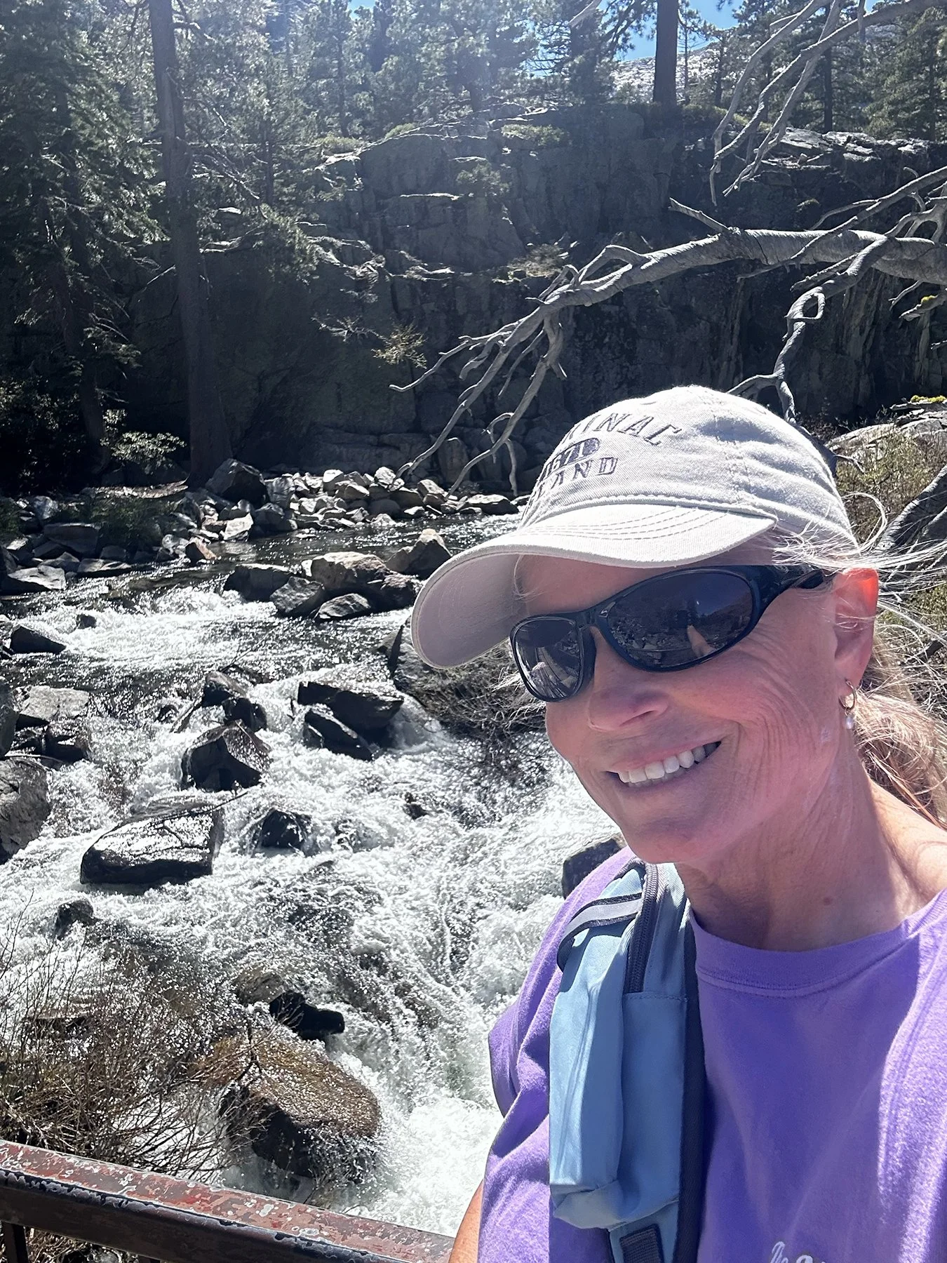
Oh my goodness! How do you say fun, fun, fun?! It’s no secret that I’m a huge sports fan; I’ve spent my life playing, watching and promoting all kinds of sports at all different levels. I just love the competition, the grind, the passion, the highs and the lows. So when I realized I’d be in the area of three World Cup games this summer, how could I not try to get close to the action?! My first taste was the first game to be played in Seattle—an opening group stage game between Belgium and Egypt. Only having been to Seattle once before—for a college volleyball tournament where we didn’t get to see much more than the hotel and the gym—I was super excited to be able to experience it on a not-your-average-day in the city.
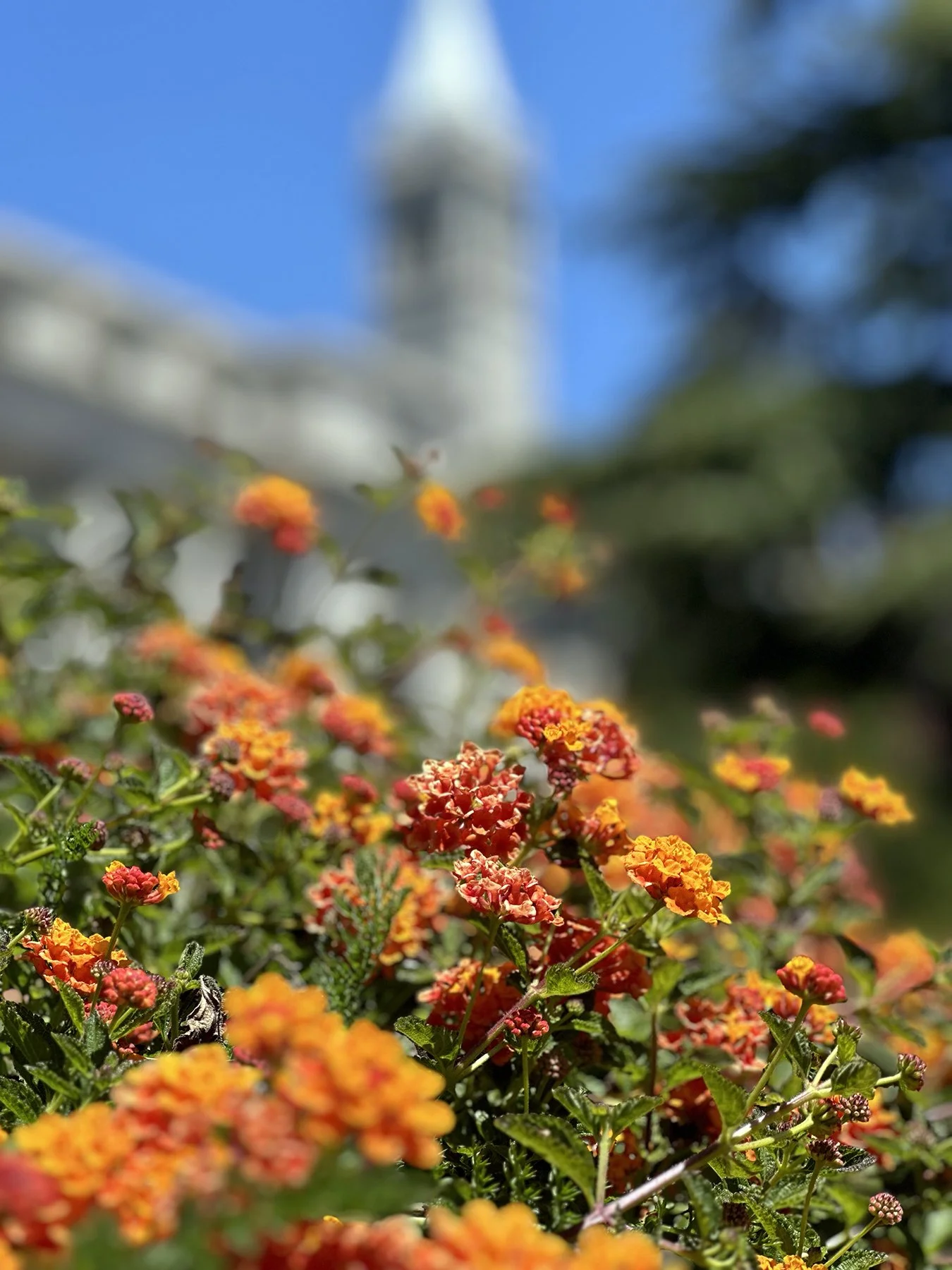
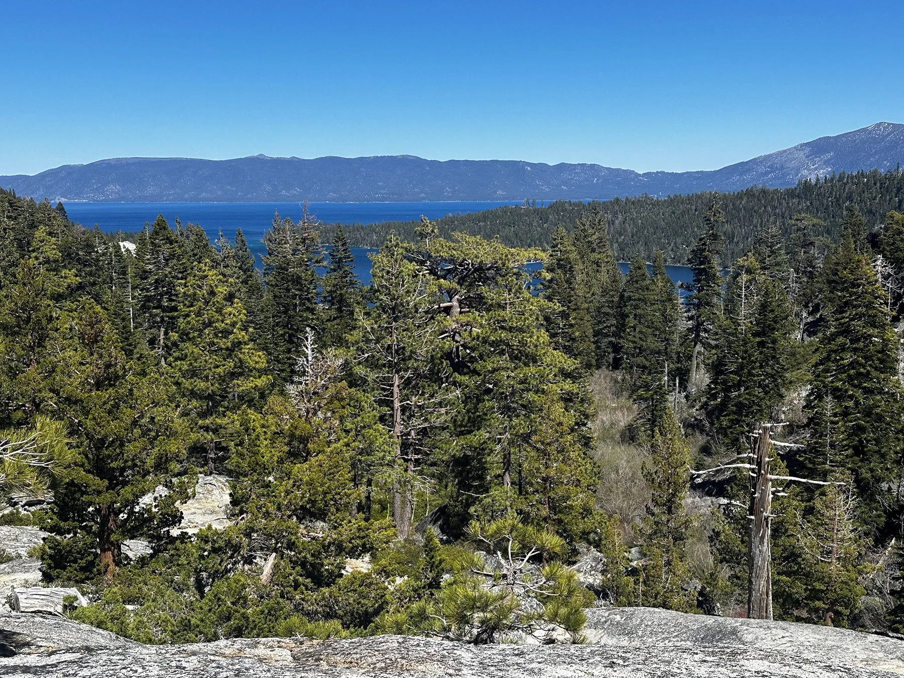
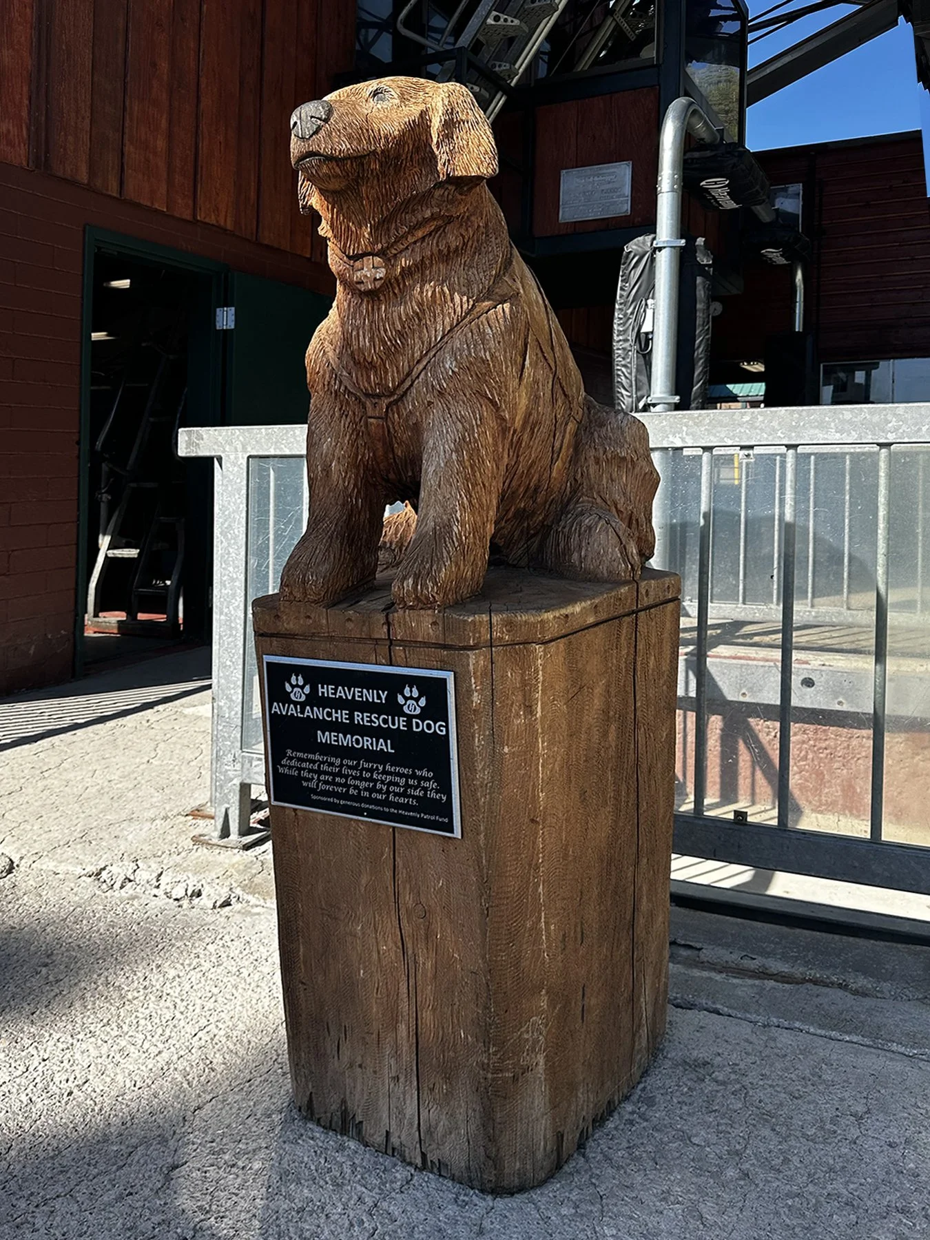
Seattle is a huge sports town. Afterall, the Seahawks just won the Super Bowl! They also have professional teams in baseball (MLB - the Mariners), women’s basketball (WNBA - the Storm), hockey (NHL - with the best name in sports—the Kraken!), men’s and women’s soccer (MLS – the Sounders; NWSL – the Reign) and even professional rugby (MLR – the Seawolves). So I guess you could say it was a win-win-win that I had the opportunity to explore this beautiful Pacific Northwest haven known as ‘The Emerald City’ a few times this summer.
Let’s start with a few fun facts about this city that is globally renowned for its iconic Space Needle, a thriving tech and aerospace economy, and its deep-rooted coffee culture:
• Tech & Industry Giants: It serves as the headquarters for tech and retail giants like Amazon and Microsoft, and was the historic home of Boeing, driving a legacy of global innovation.
• Coffee & Food Culture: As the birthplace of Starbucks, Seattle boasts a massive concentration of independent roasters, third-wave coffee shops, and world-class fresh Pacific seafood, including salmon and Dungeness crab.
• Music & Pop Culture: Seattle is the birthplace of the 90s grunge movement—spearheaded by bands like Nirvana and Pearl Jam—and features highly acclaimed cultural stops like the Museum of Pop Culture (MoPOP).
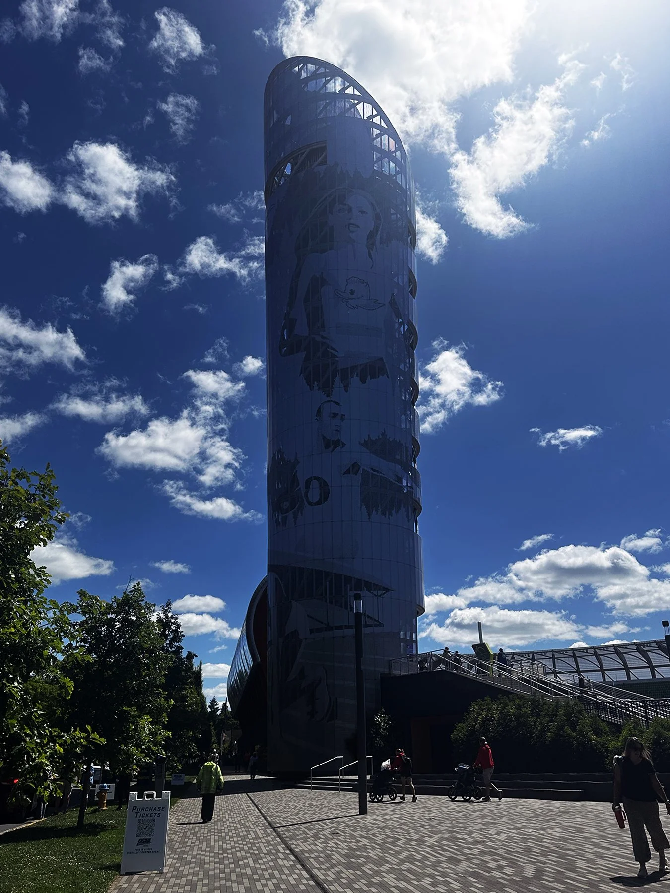
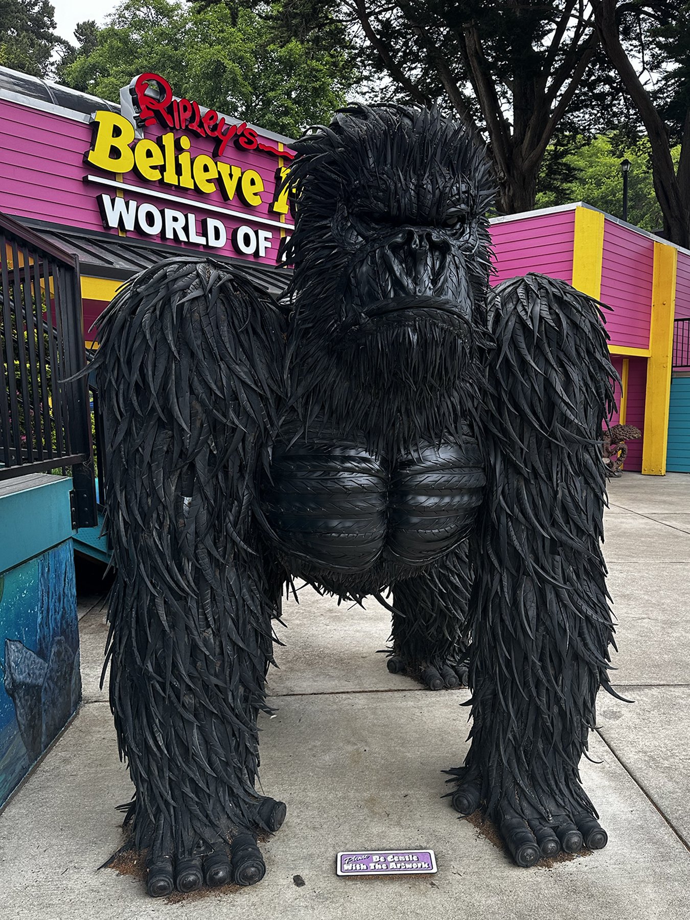
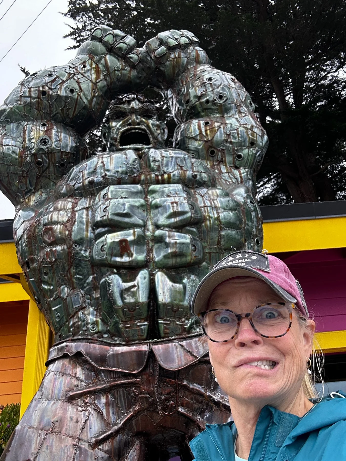
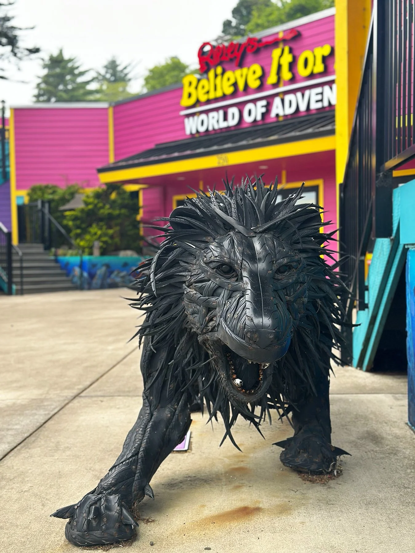
• Iconic Landmarks: Attractions like the 1962 World's Fair Space Needle, the flying fish at Pike Place Market, and the quirky Fremont Troll anchor the city's tourism.
• The Great Outdoors: Nicknamed "The Emerald City" because of its surrounding lush evergreen forests and parks, Seattle offers unparalleled access to outdoor recreation, including views and trips to Mount Rainier National Park.
And I got to experience just about all of these in a short amount of time.
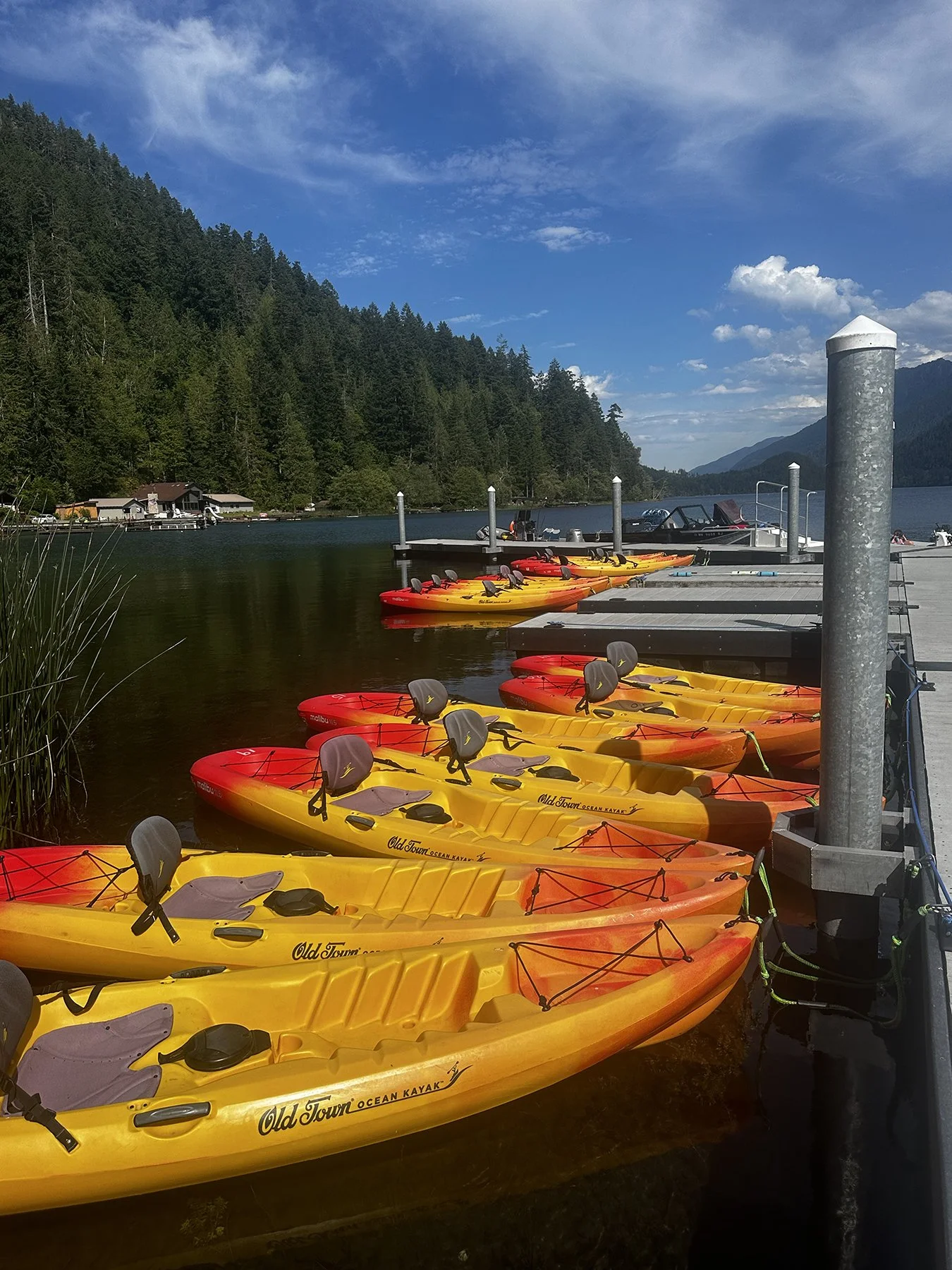
First, the World Cup. The organizers did an AMAZING job hosting such a massive international sporting event. The area around the stadium was immaculate; many downtown streets were closed to vehicular traffic to make room for about a gagillion fans; and there seemed to be one colorfully clad and super-friendly volunteer for every three fans. Same with the law enforcement presence. And the VIBE. Y’all. There were fans there from all over the world, and everyone seemed to be ecstatic to be there. There was so much unity, friendly encounters, singing and dancing. It was truly refreshing to witness and experience, particularly in this age of domestic and international division.
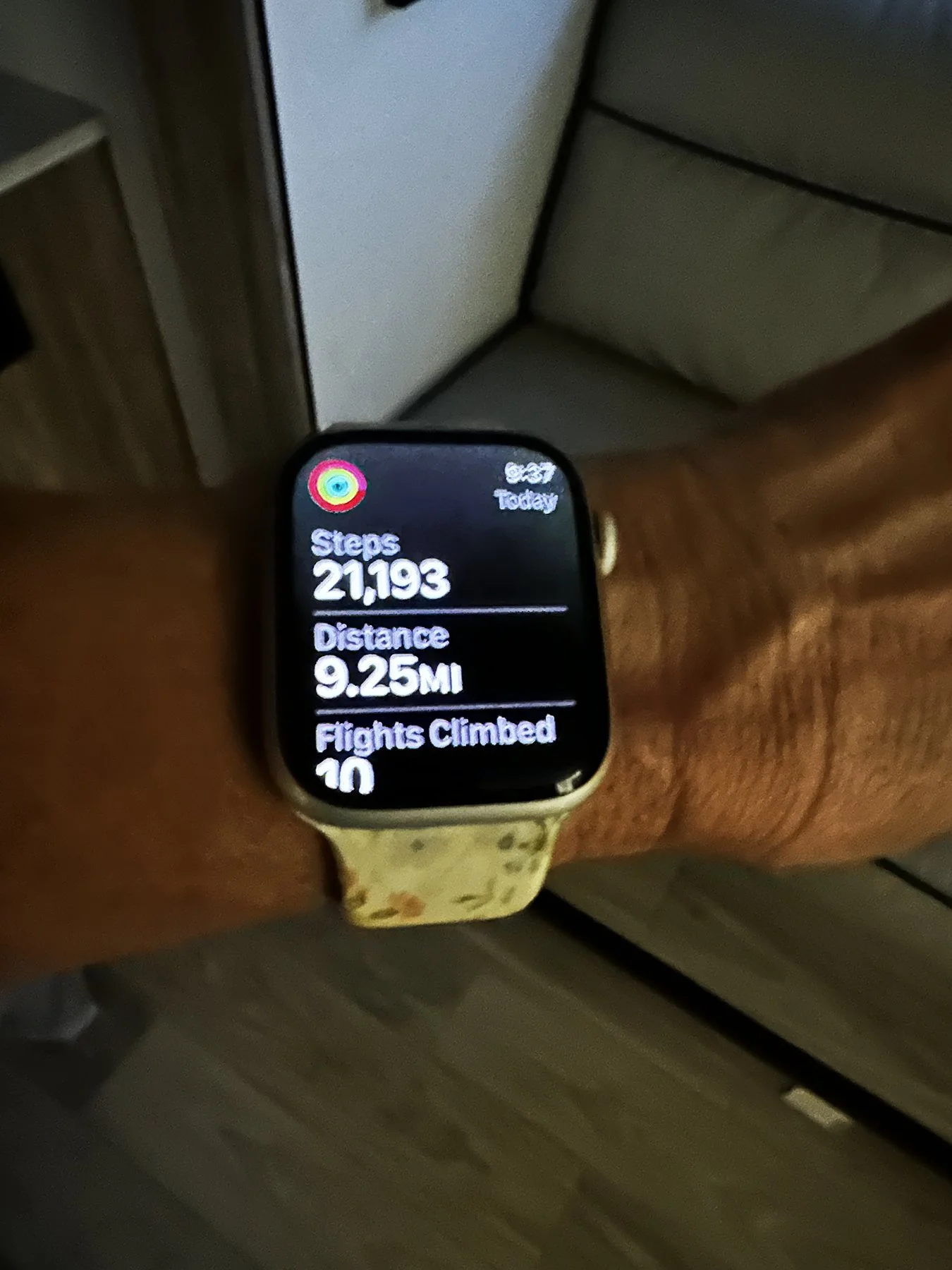
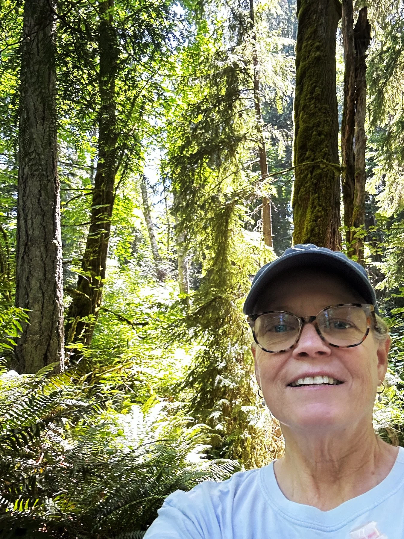
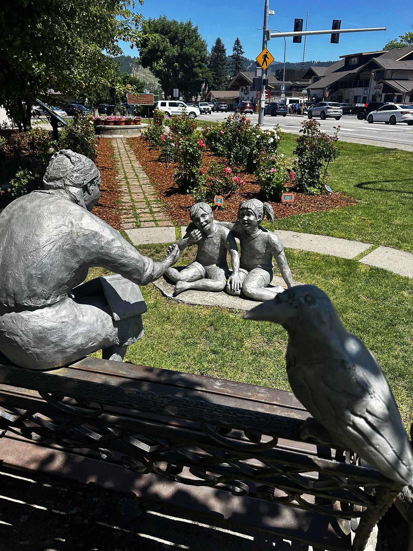
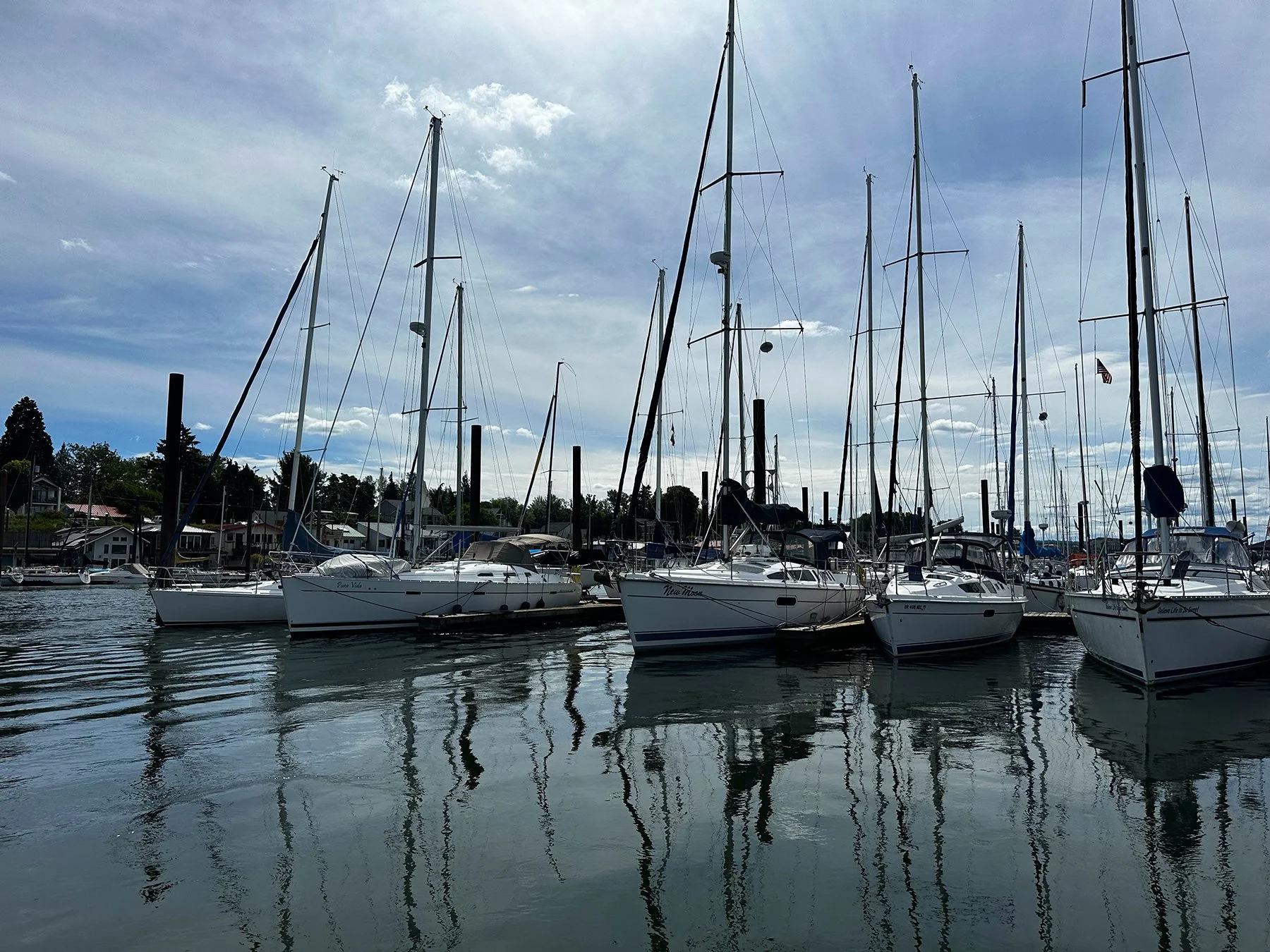
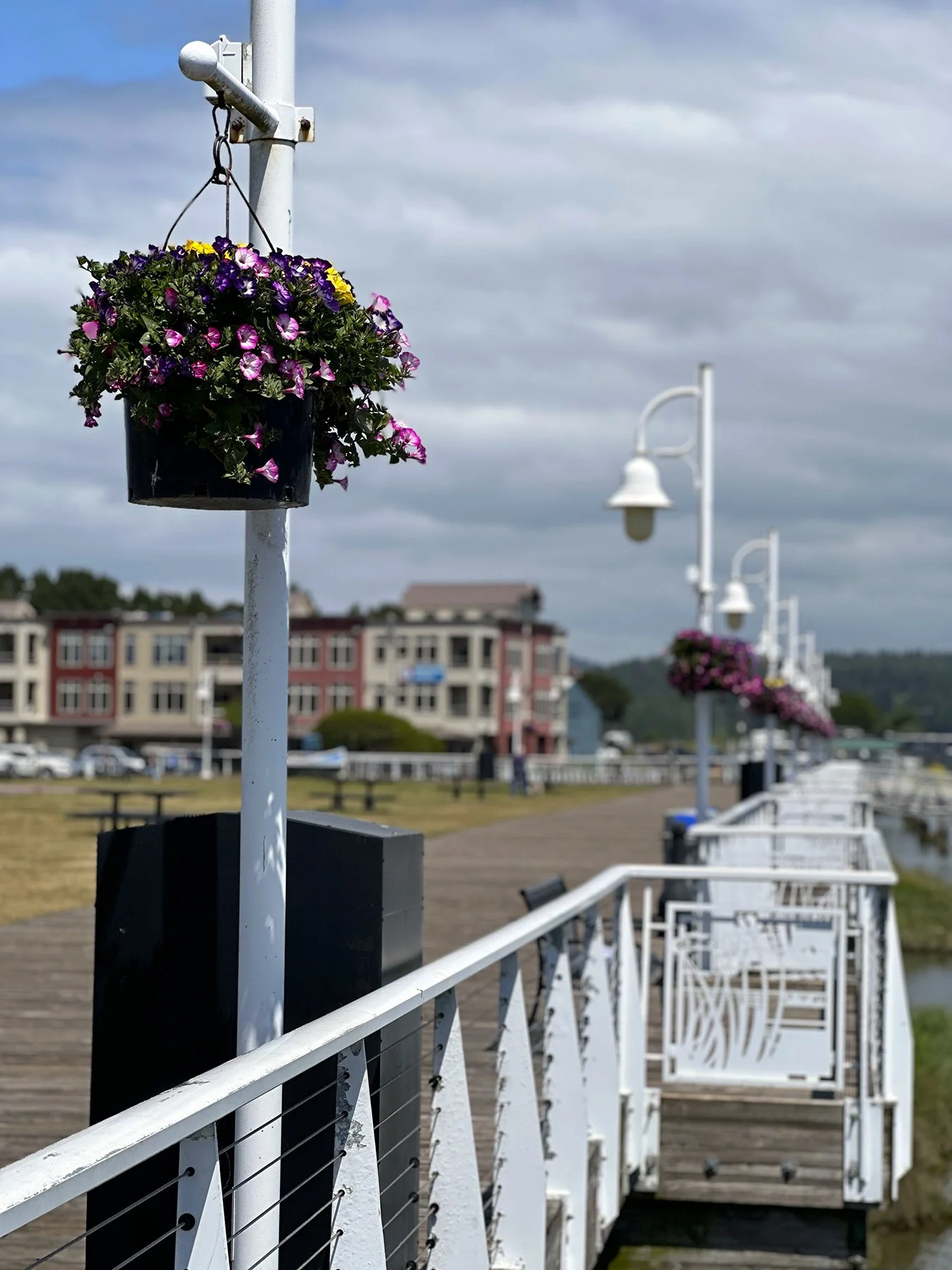
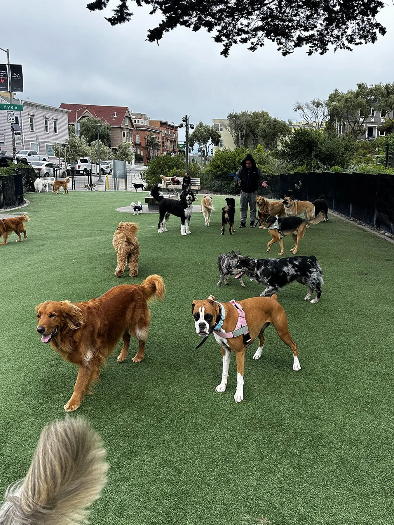
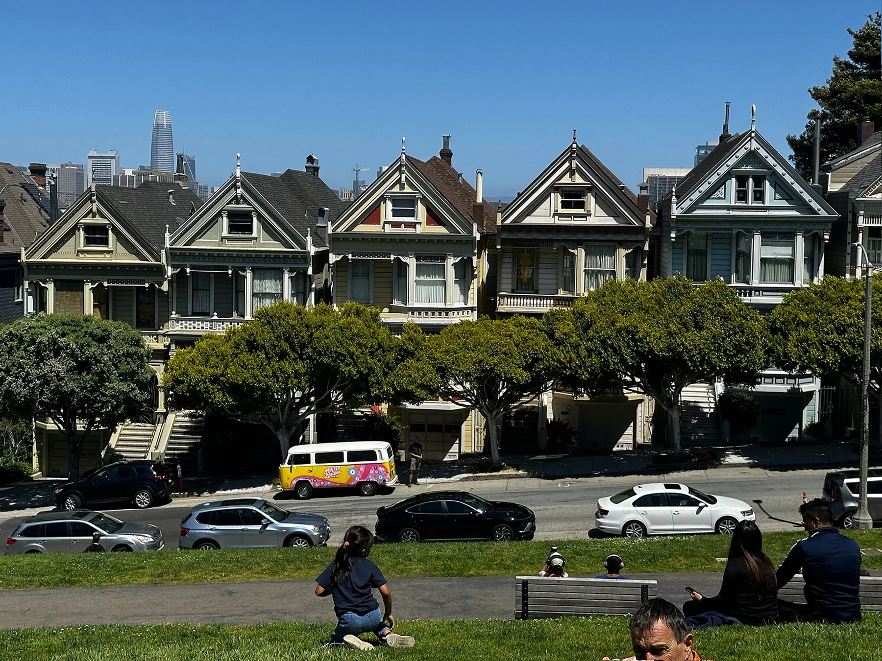
Maisie and I combined exploring the city itself with participating in World Cup events – we hung out outside the stadium for a bit, then went to three different public watch parties, joining thousands of others watching and cheering ‘the beautiful game’ – all while taking in iconic Seattle sites. All told, we walked over nine miles around the city that day!


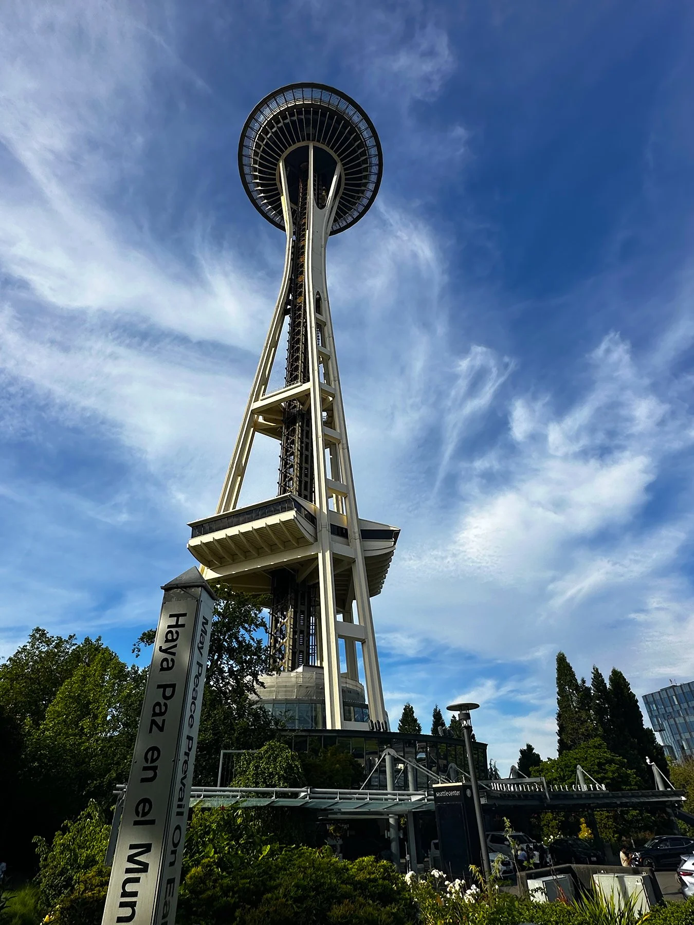
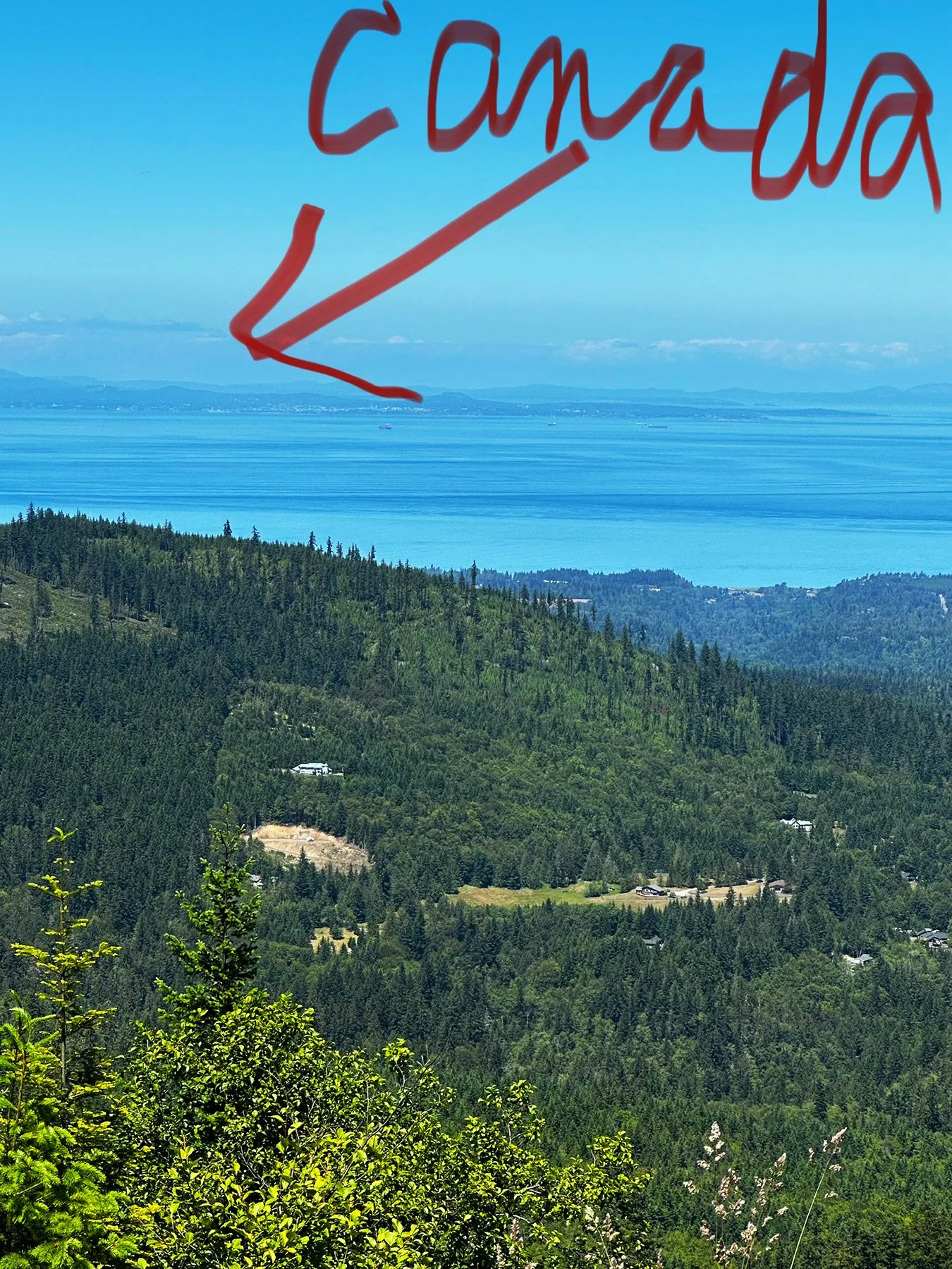
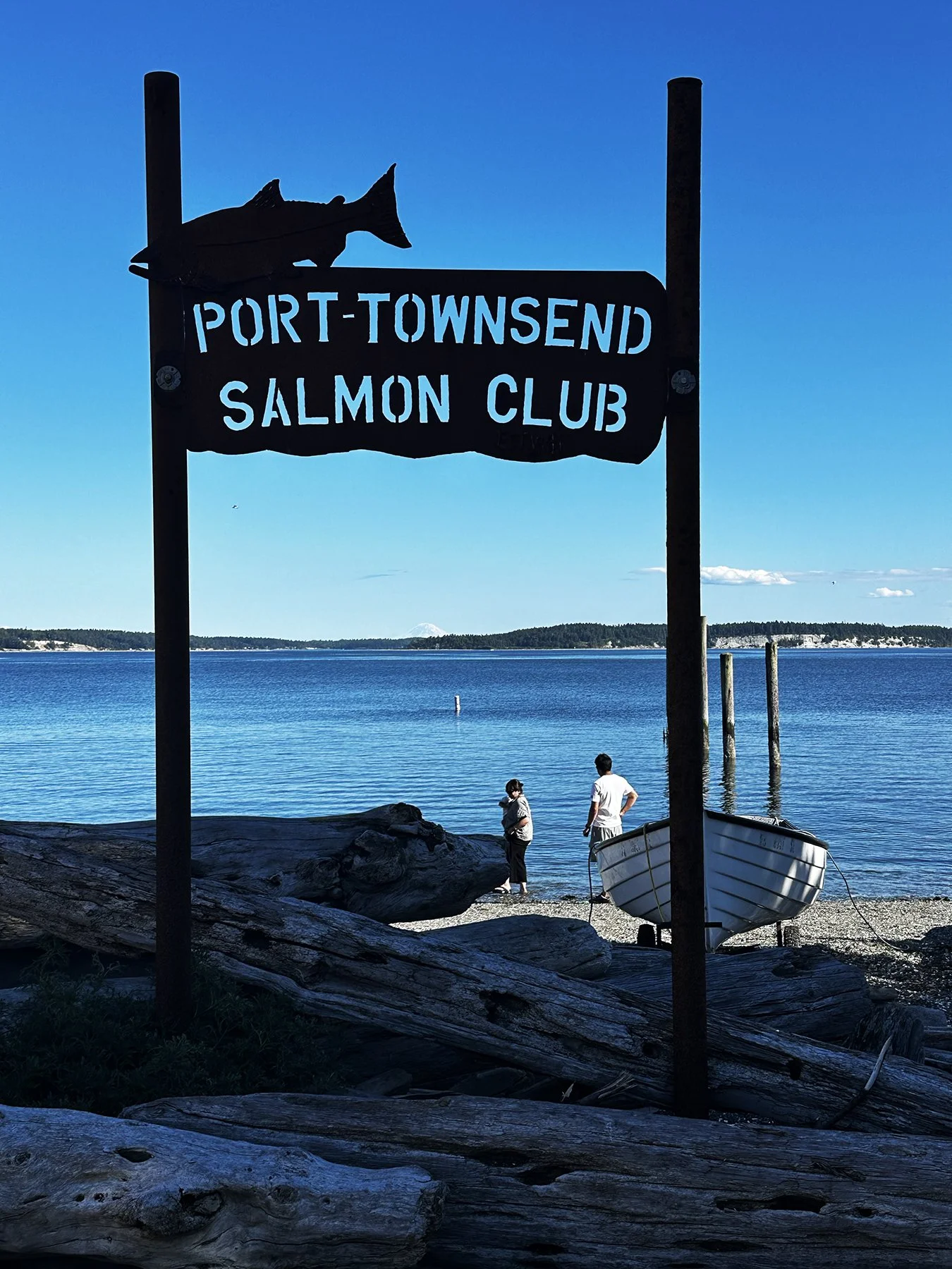
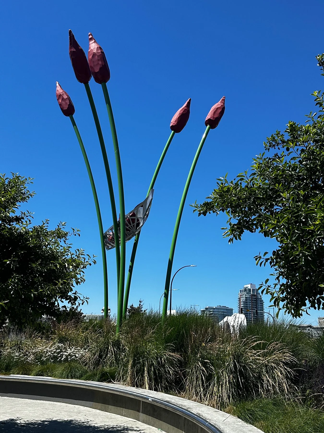
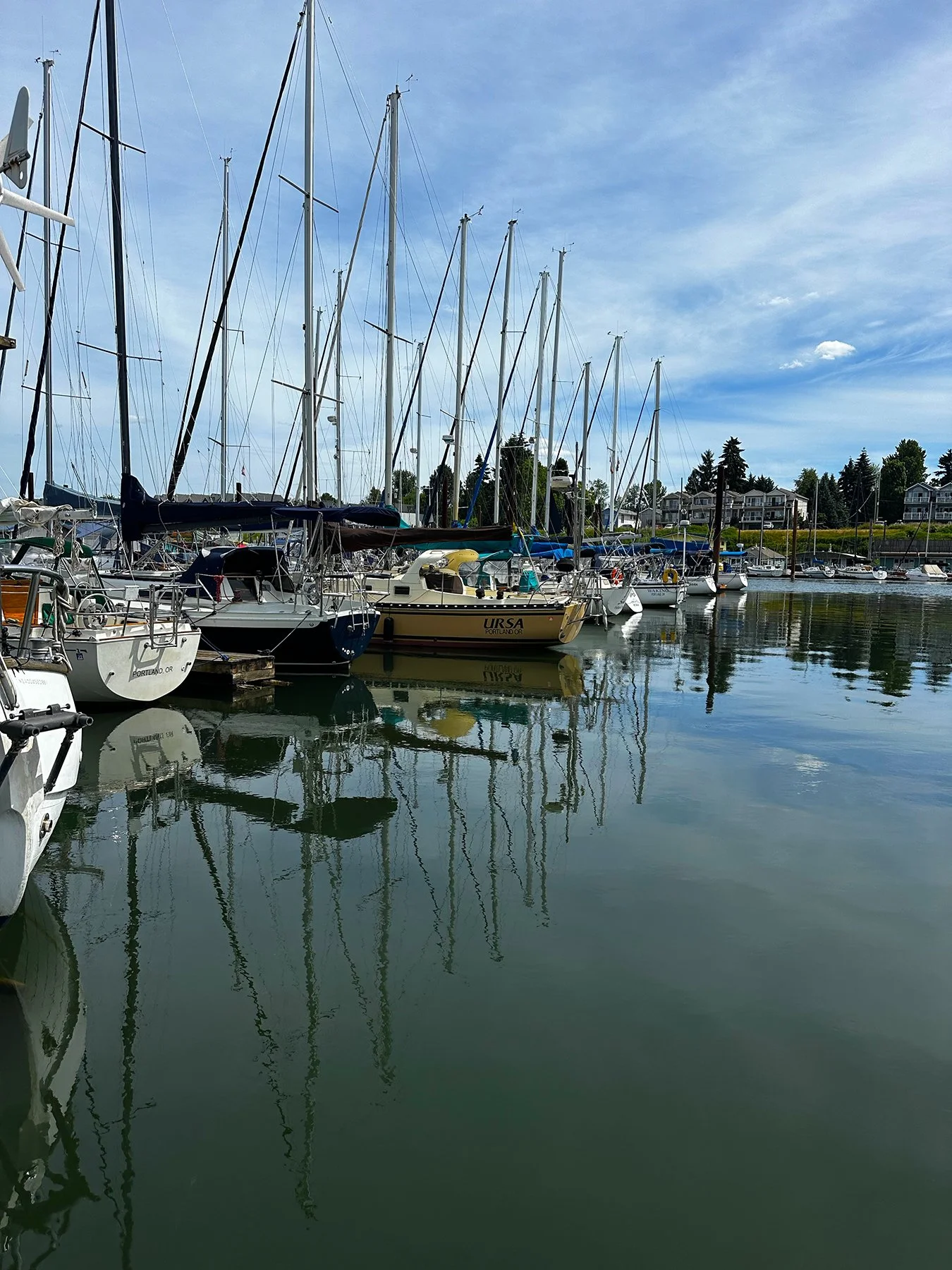
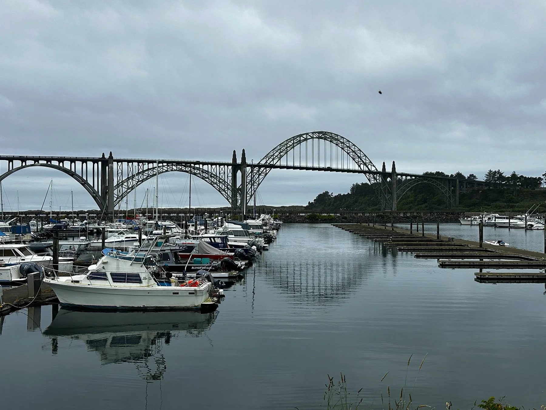
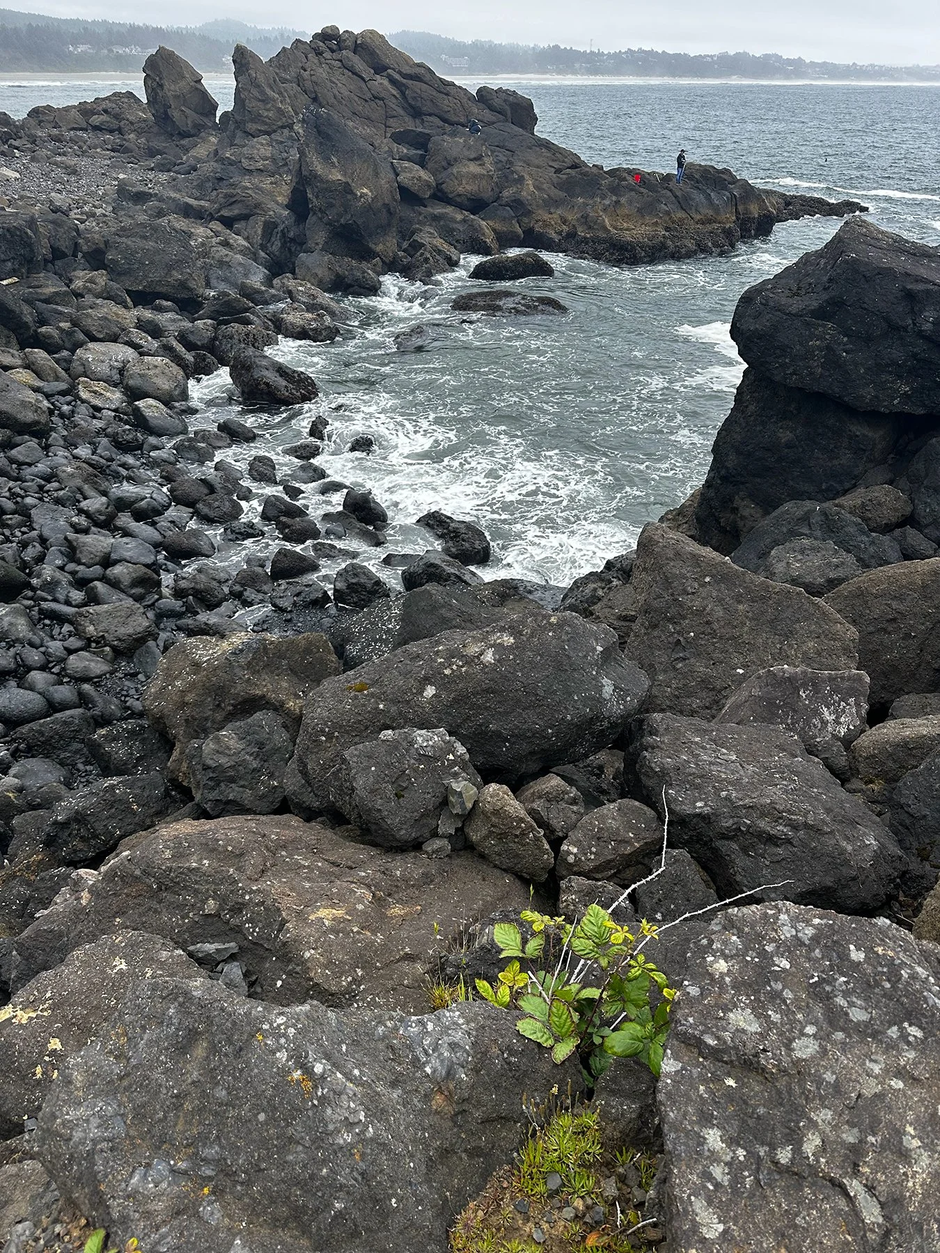
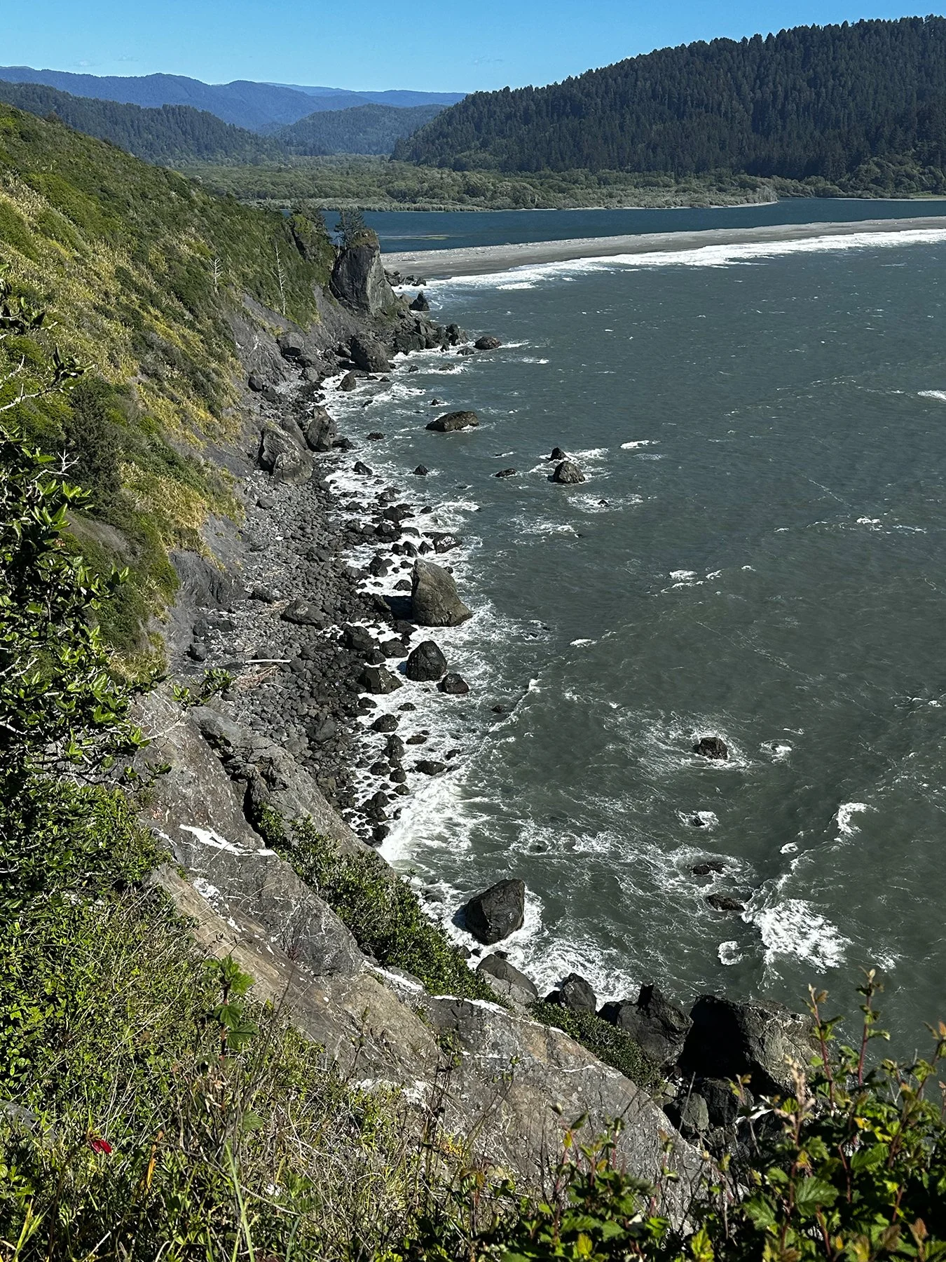
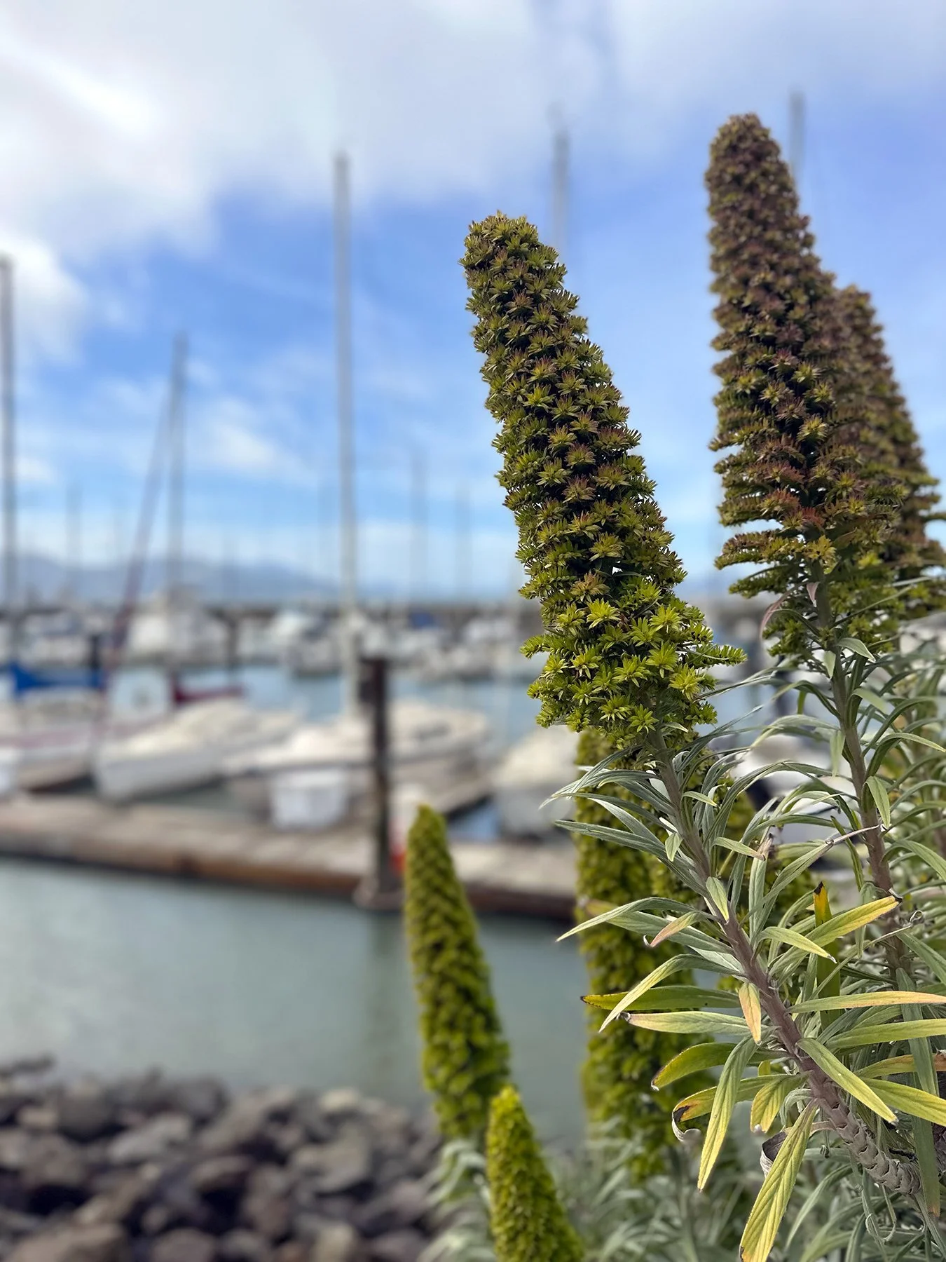
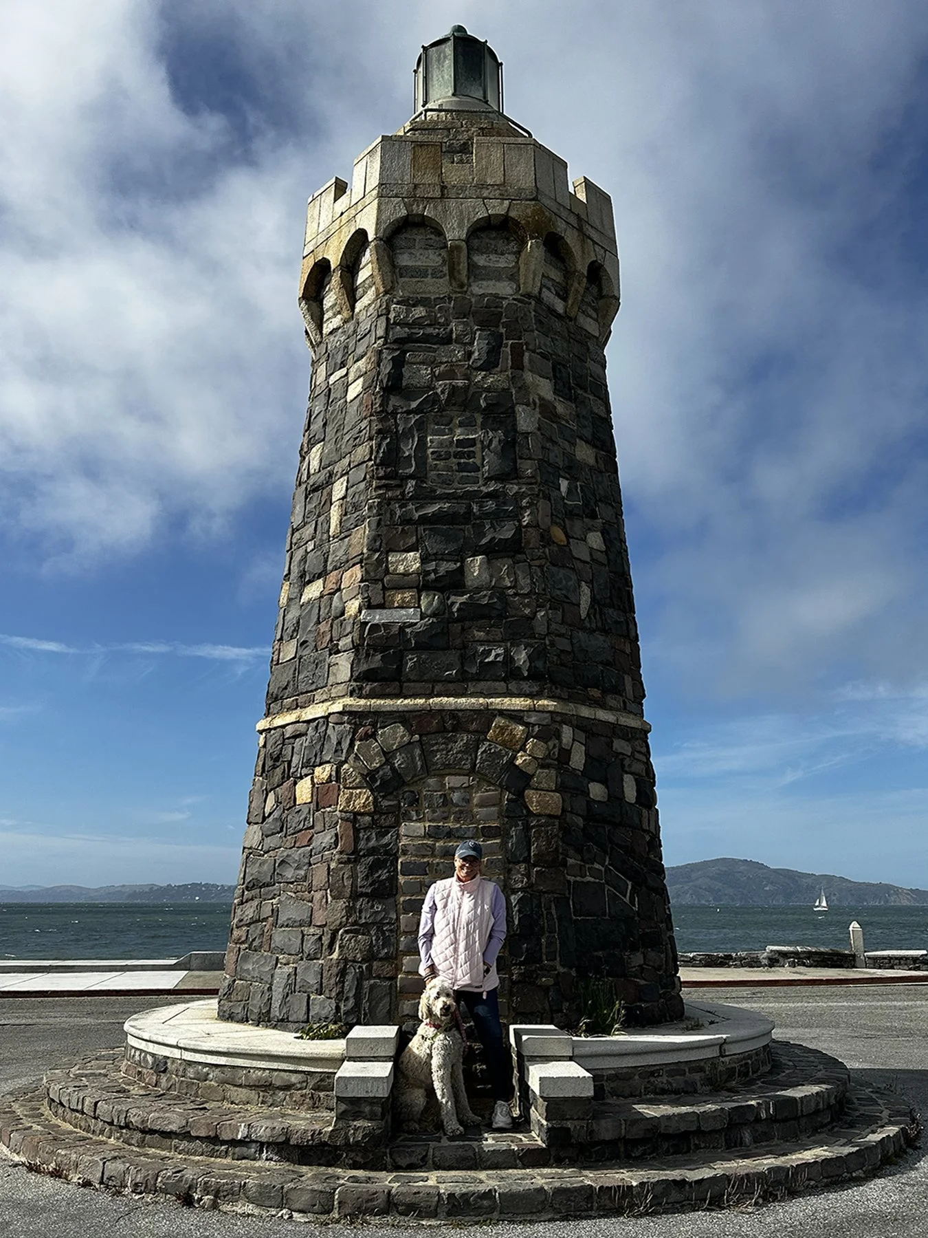
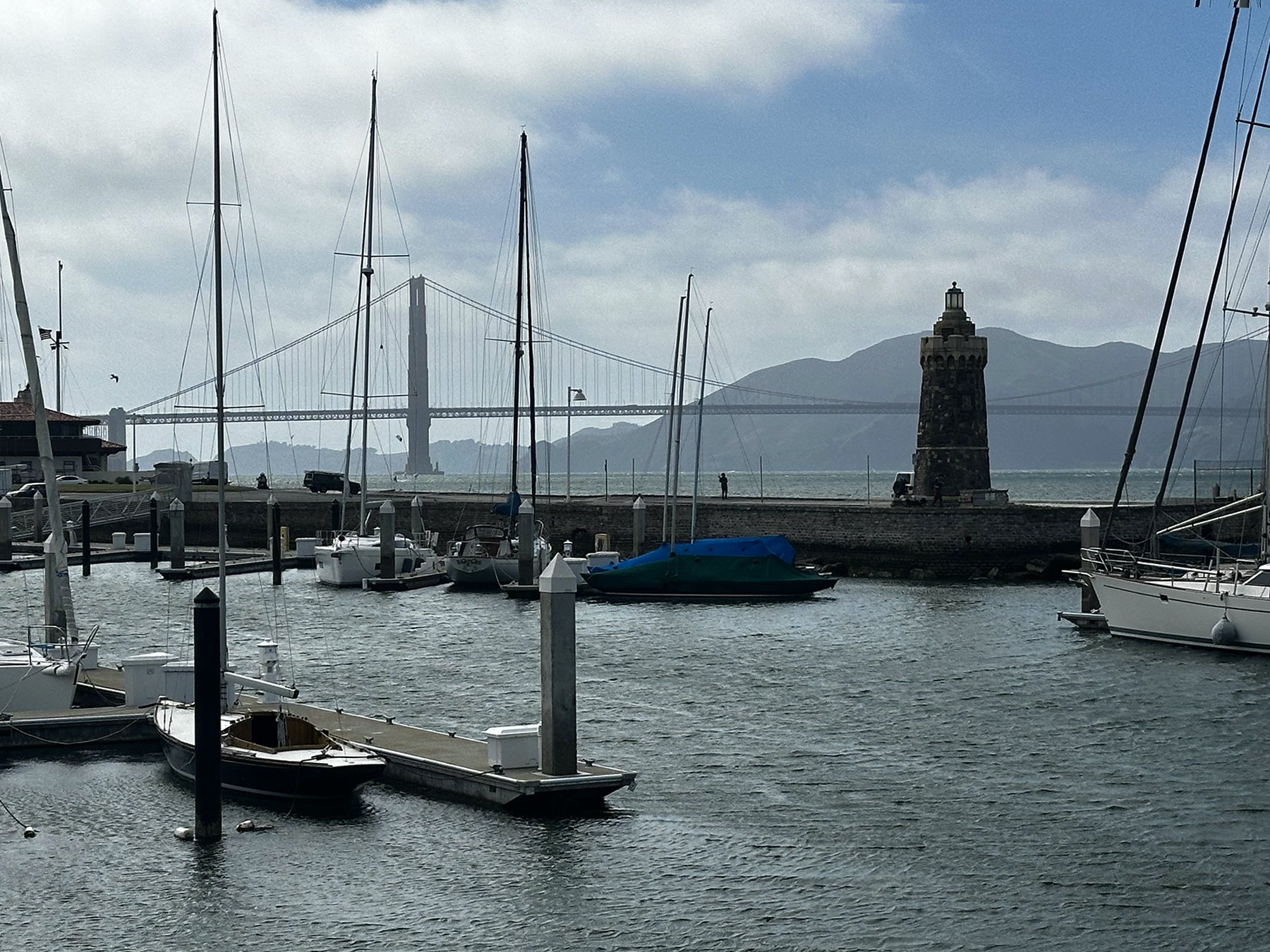
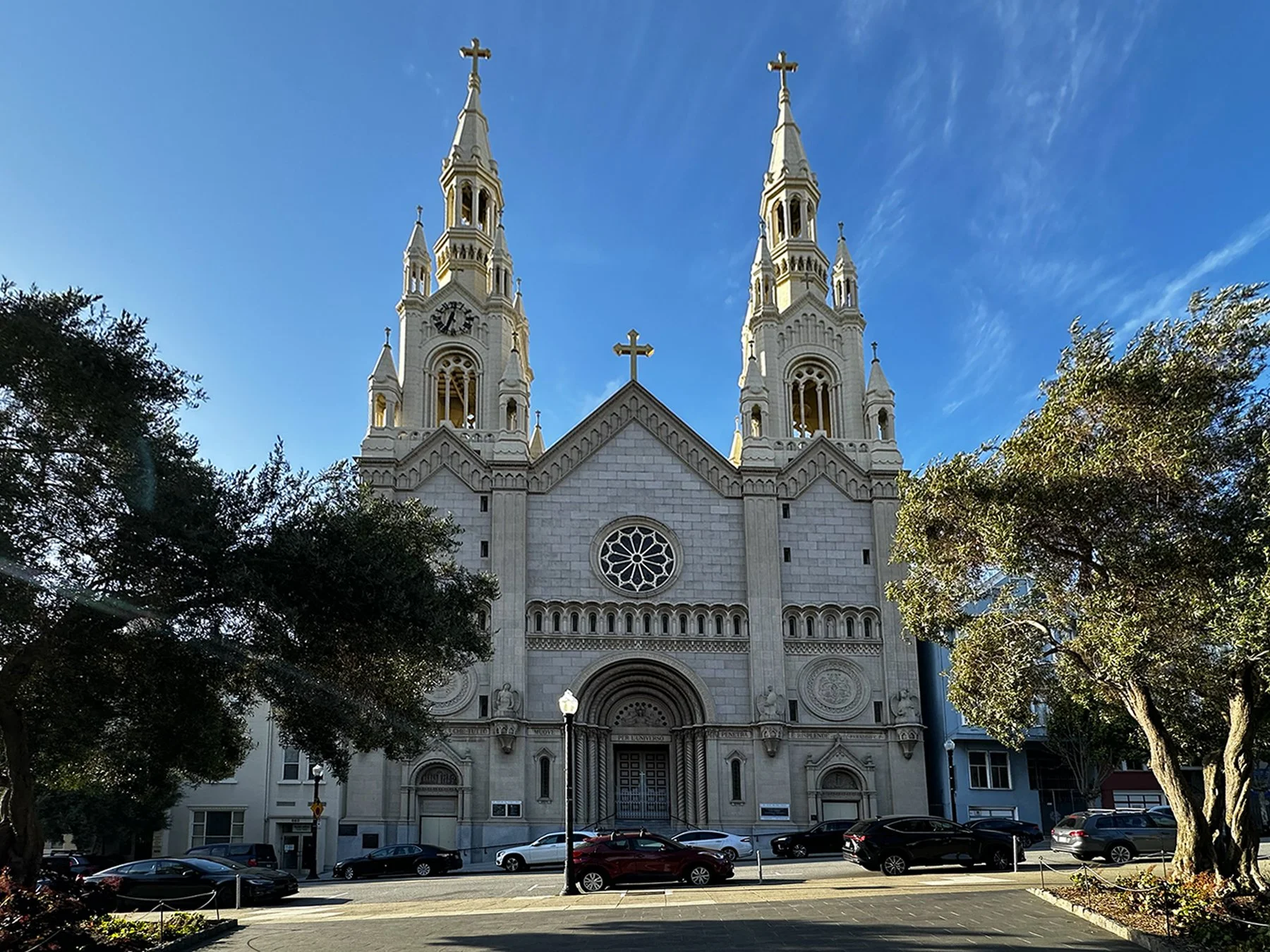
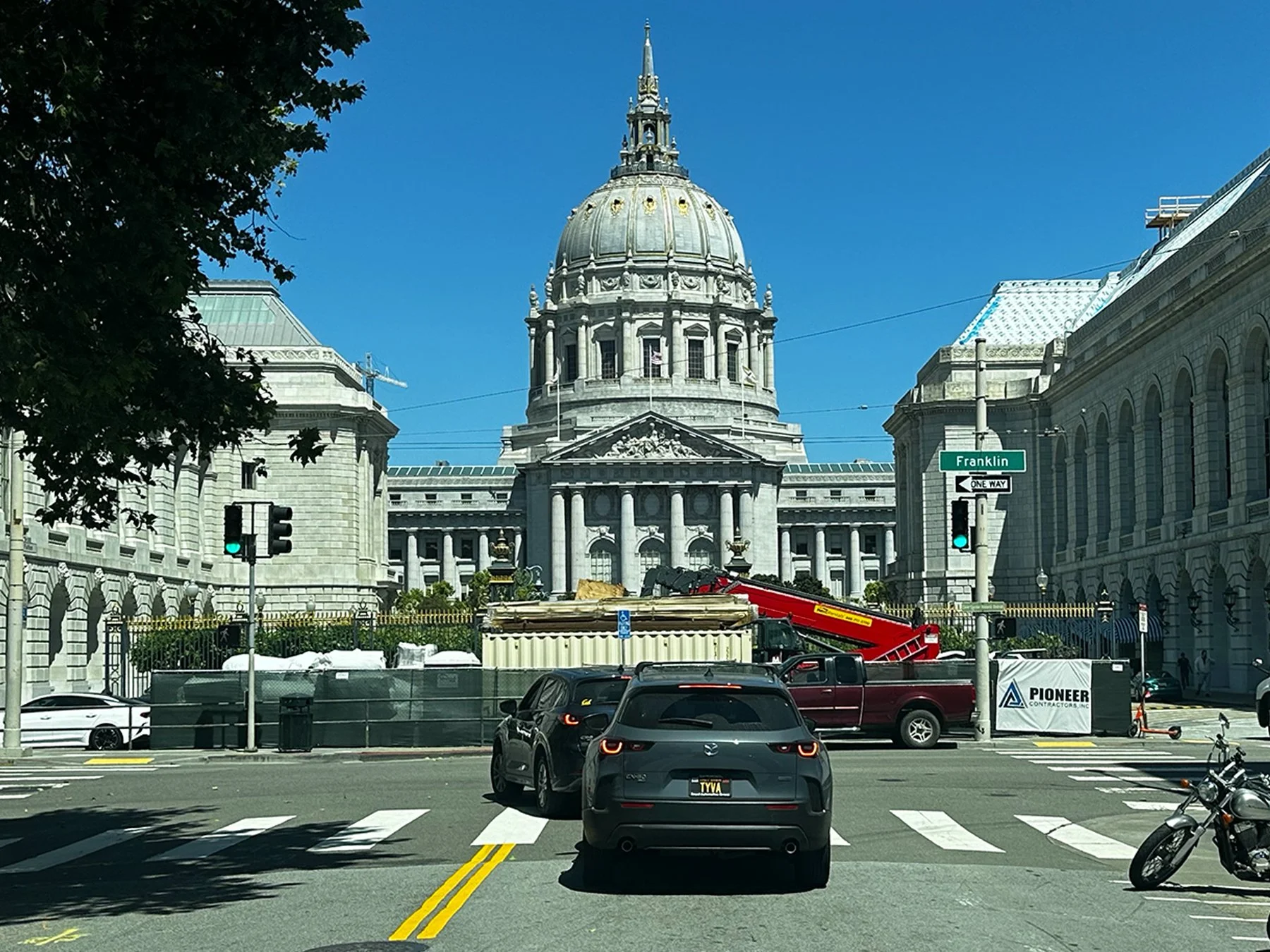
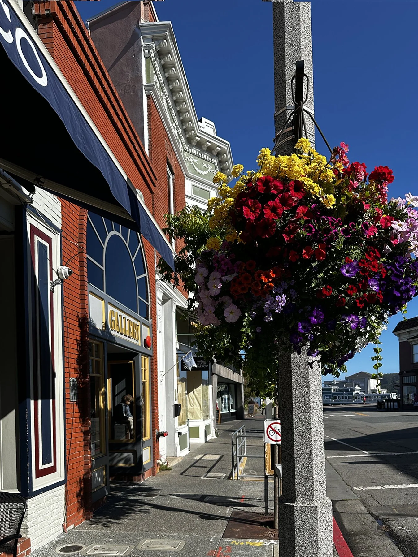
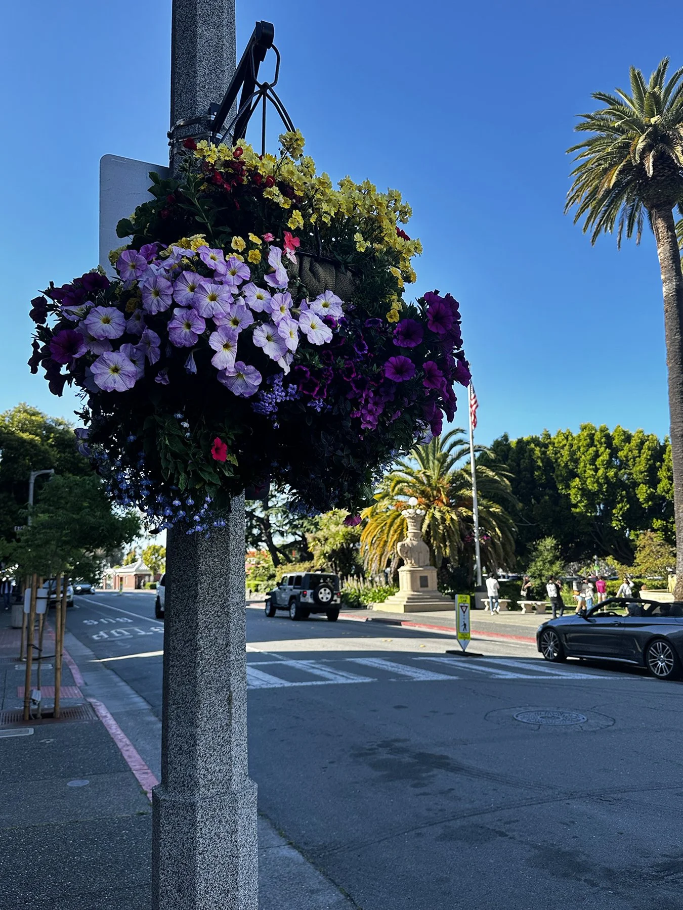
In-between watch parties, we took the time to explore the iconic attractions in the downtown area, including the wharf, Pike Place Market, Olympic Sculpture Park and the Seattle Center where the Space Needle looms large. It was fun to see the name “Elliott” everywhere (spelled the same, even); apparently, this large bay bordering downtown that serves as the primary harbor for Seattle was named after Midshipman Samuel Bonnyman Elliott. In 1841, expedition commander Charles Wilkes mapped the Puget Sound and named the massive harbor “Elliott Bay.” Wilkes routinely named landmarks after his crew members, and young Samuel Elliott was part of the specific survey party that charted those waters. Seattle was very walkable (albeit with tons of hills and stairs!), and it was a beautiful sunny day, so I again counted my blessings!


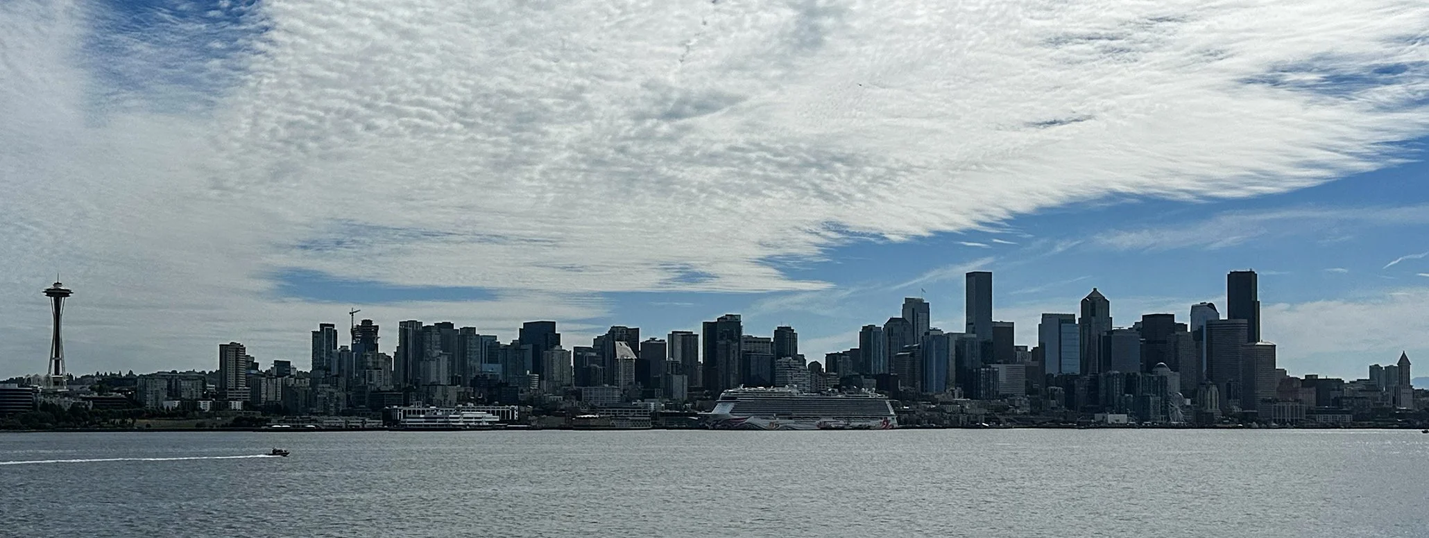
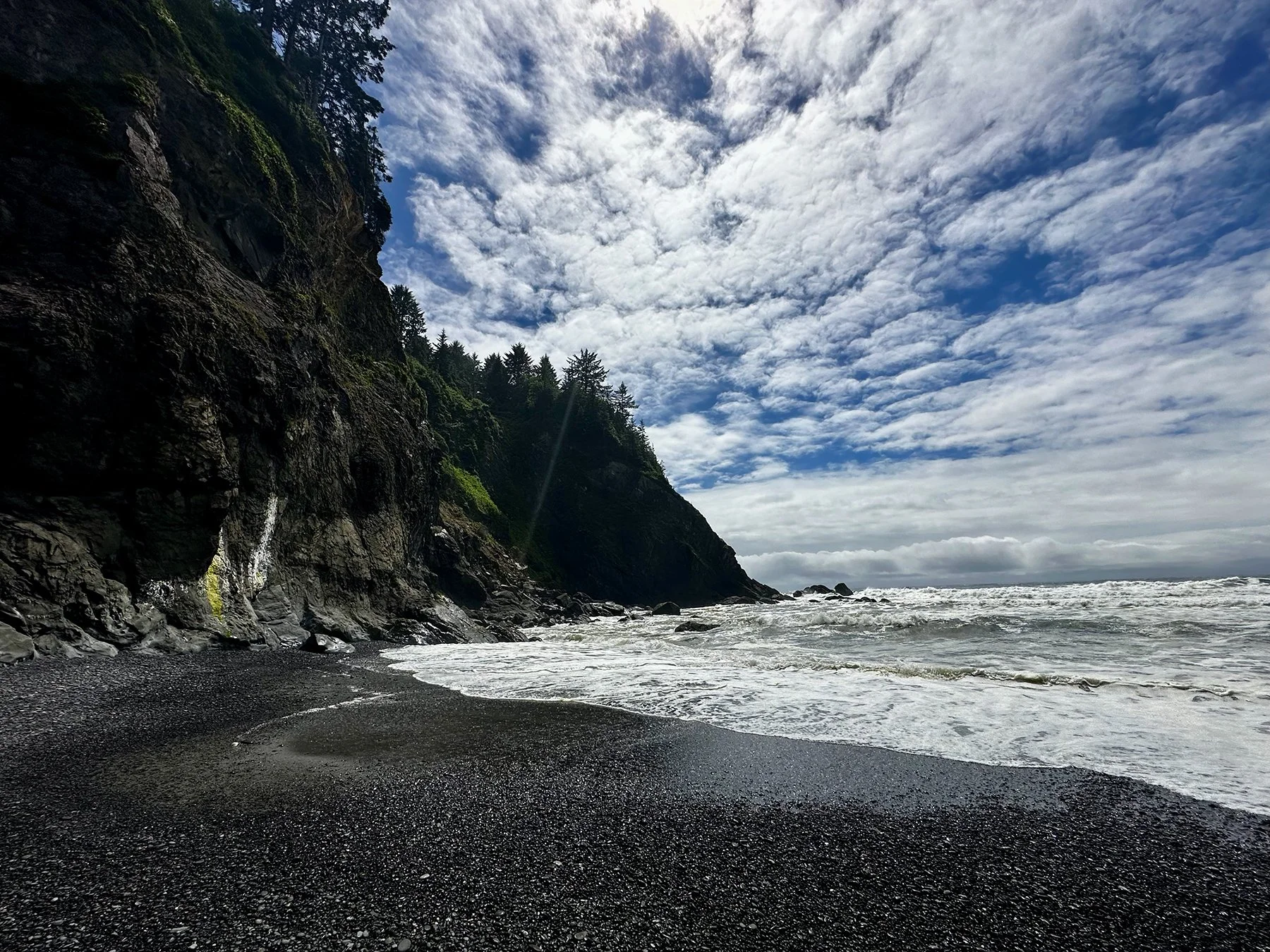
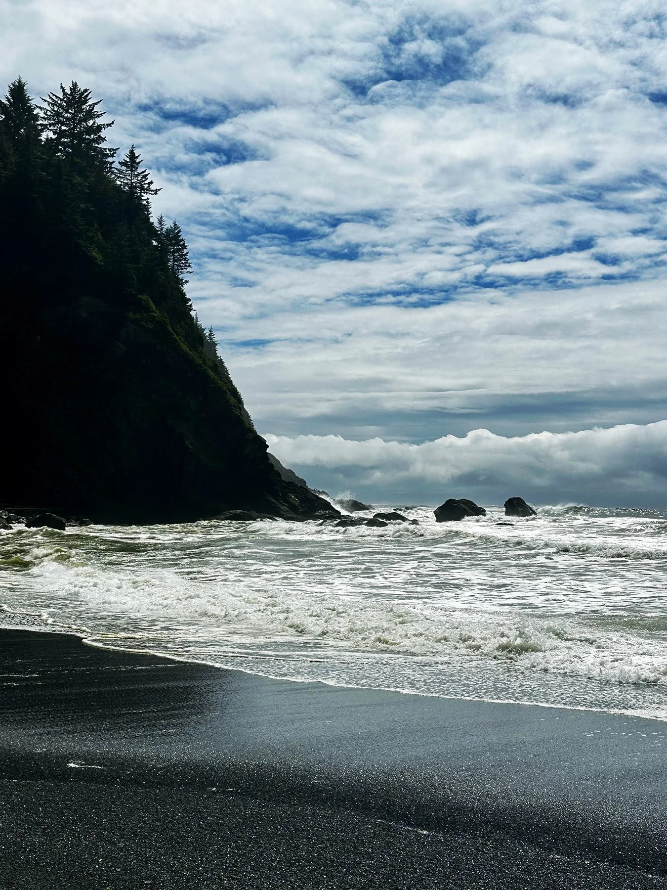
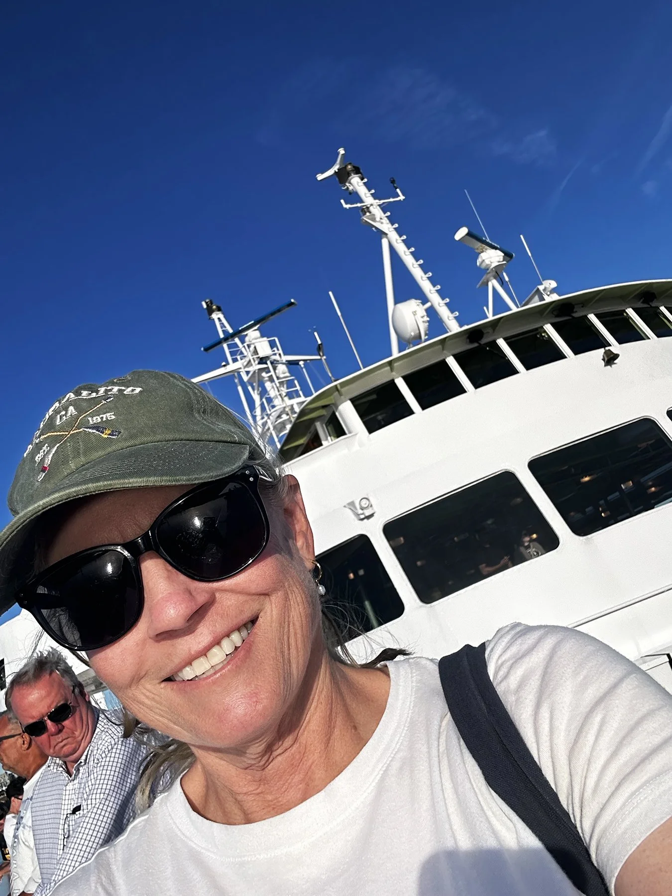
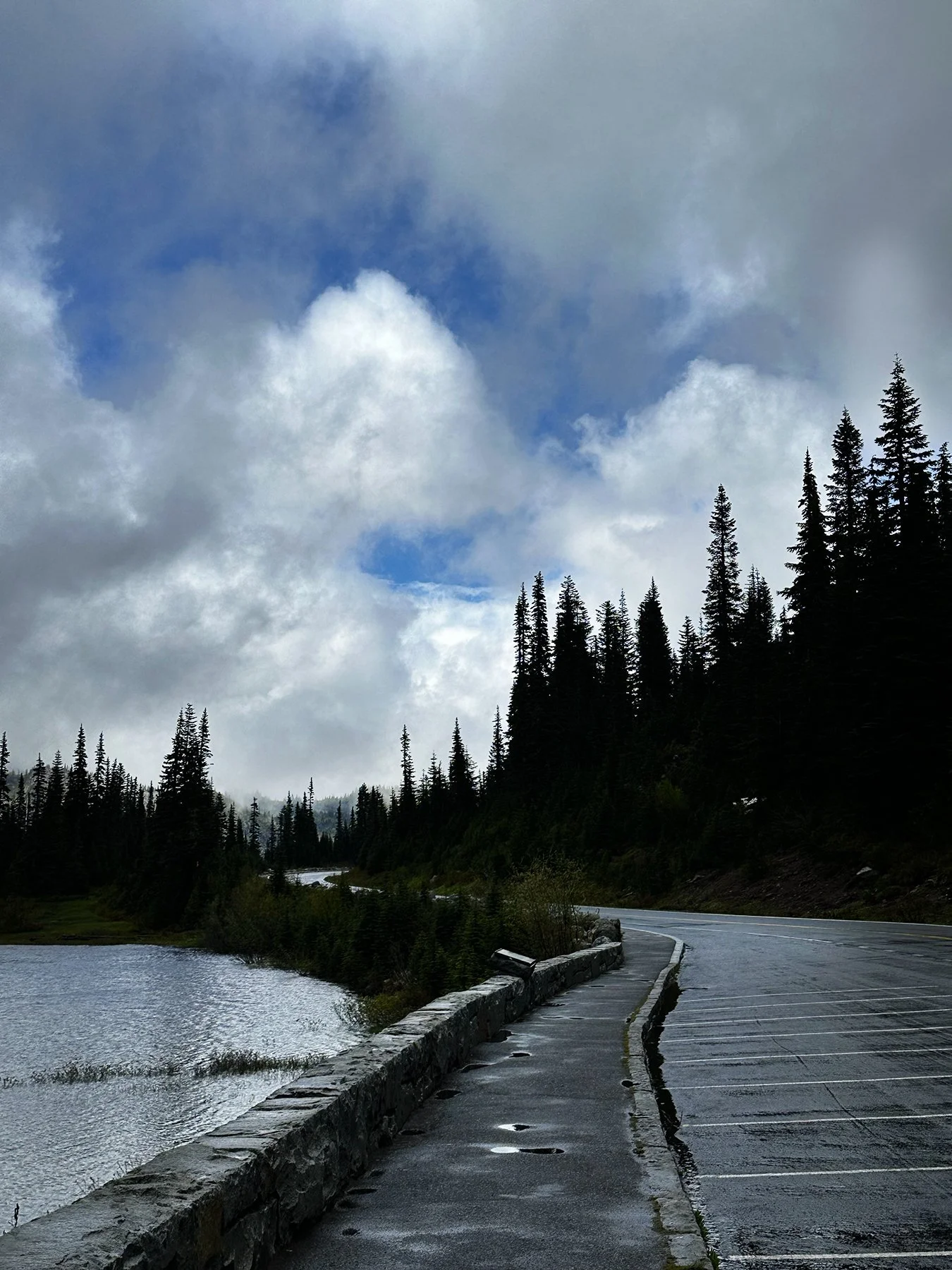
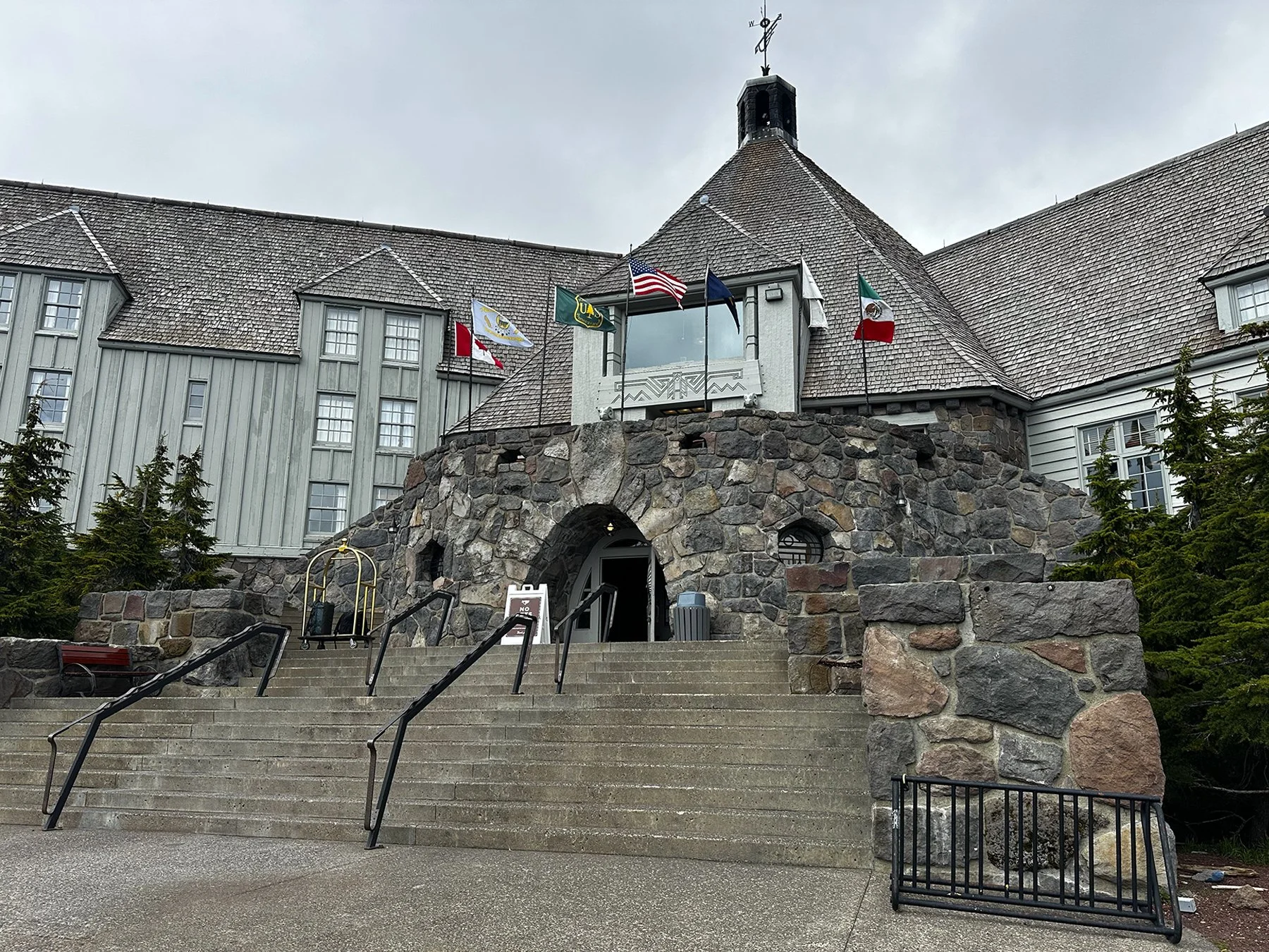
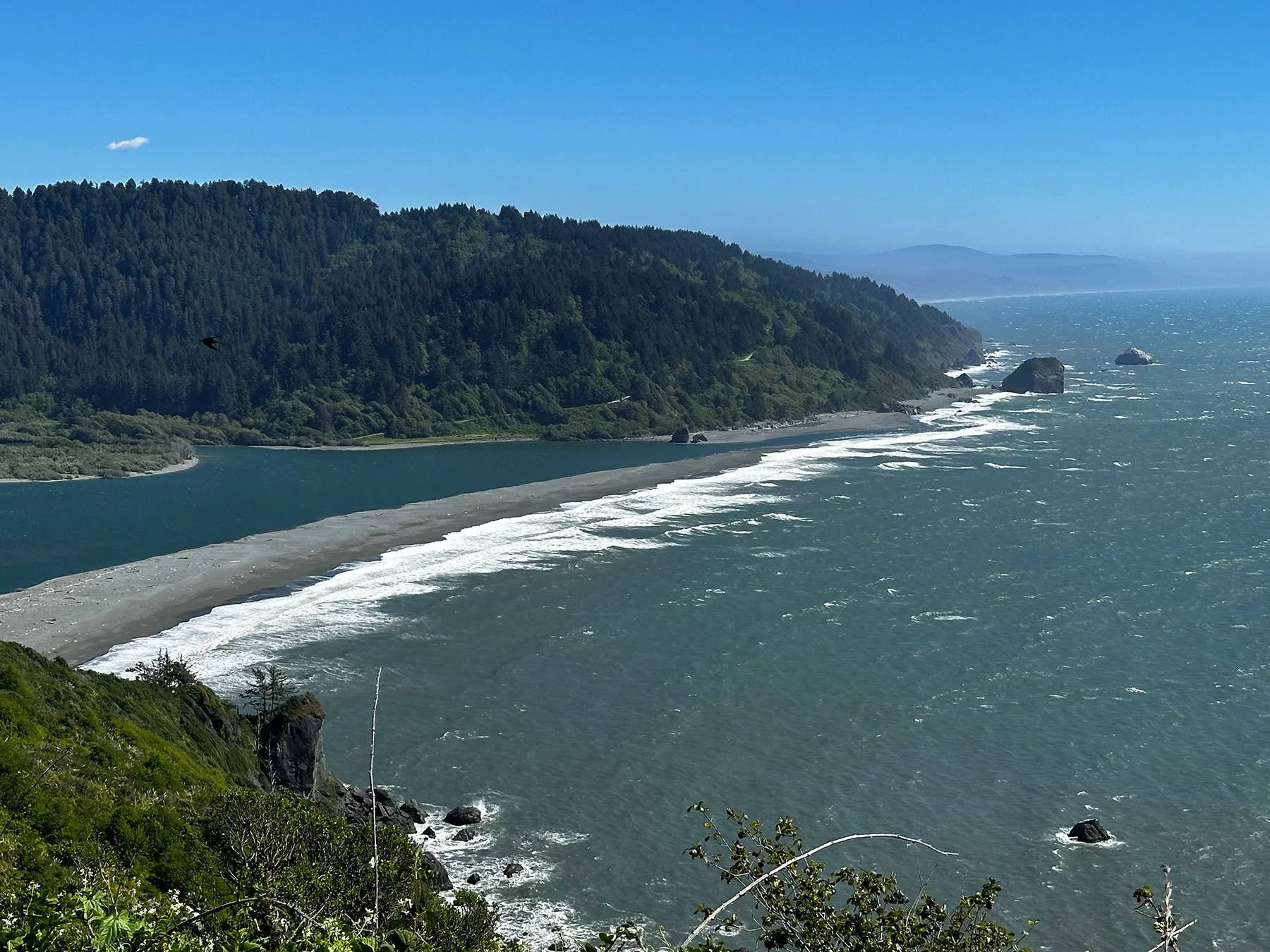
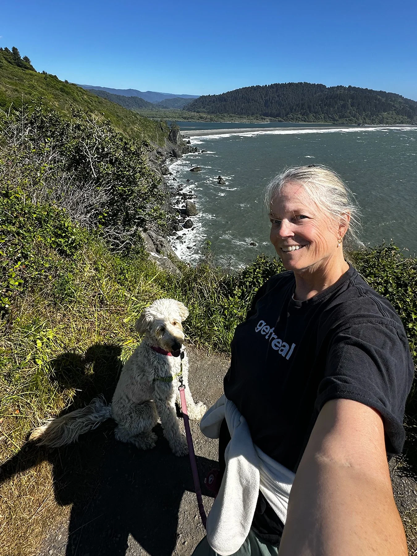
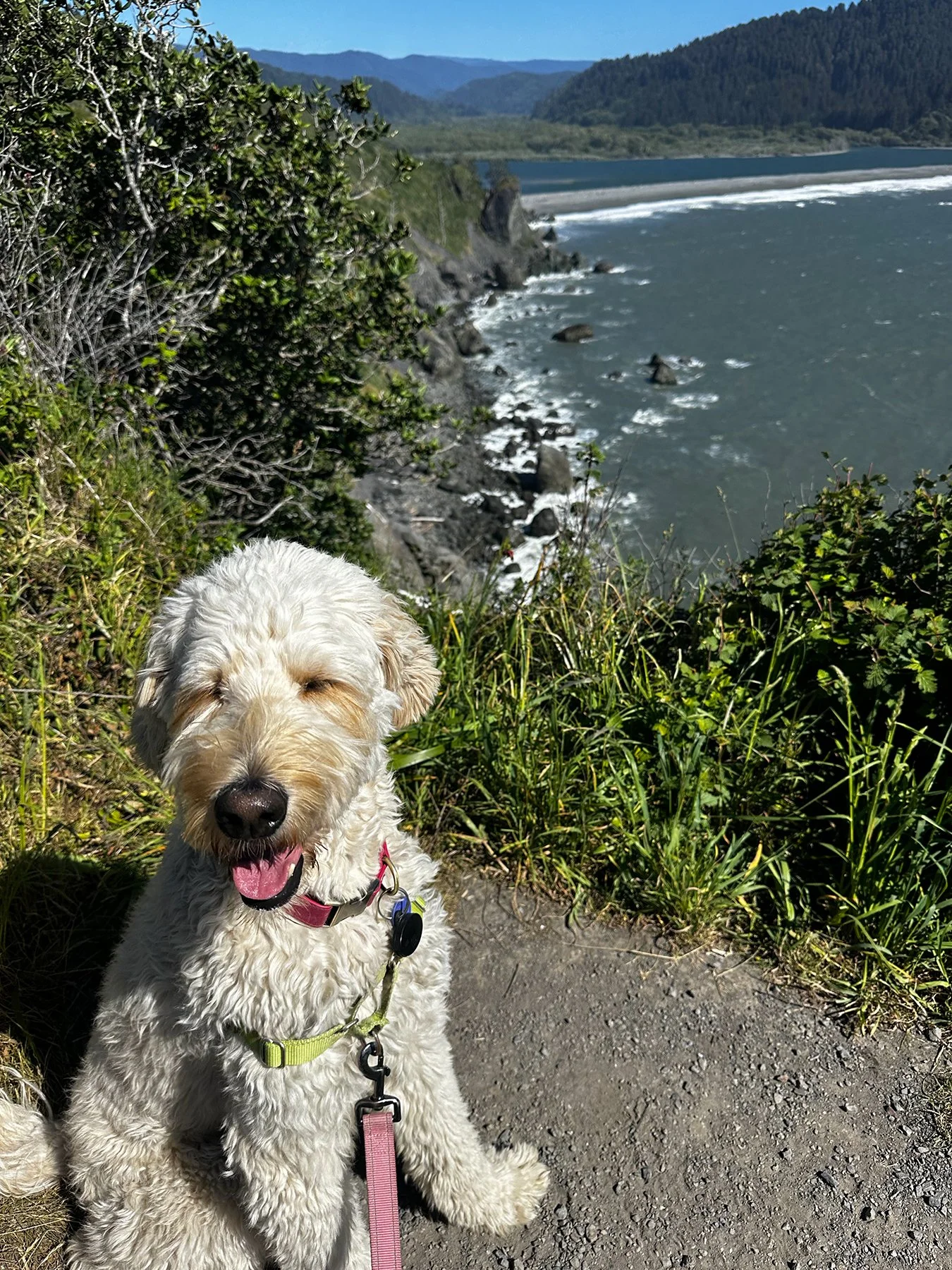
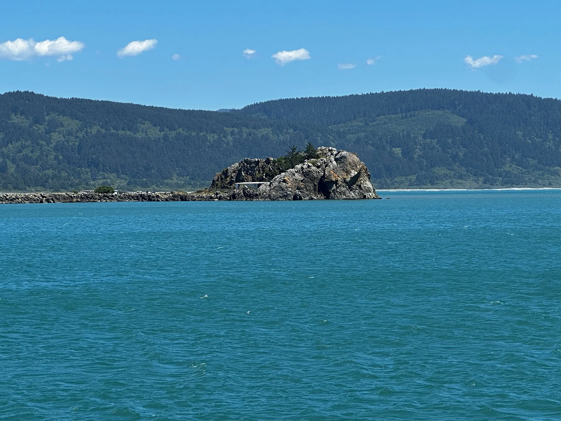
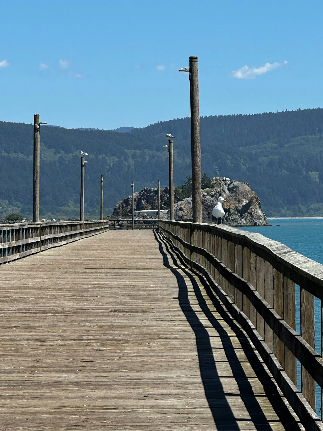
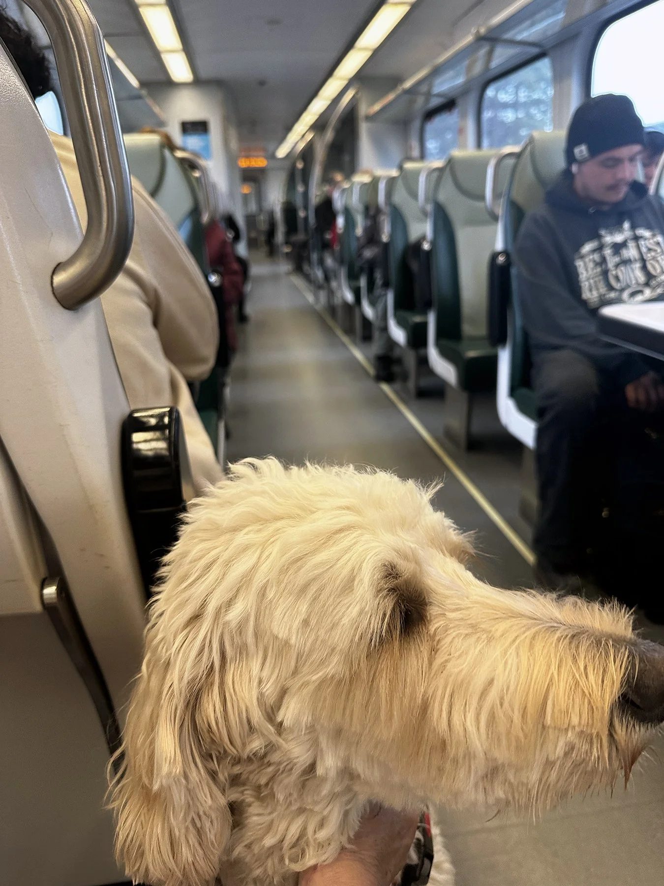
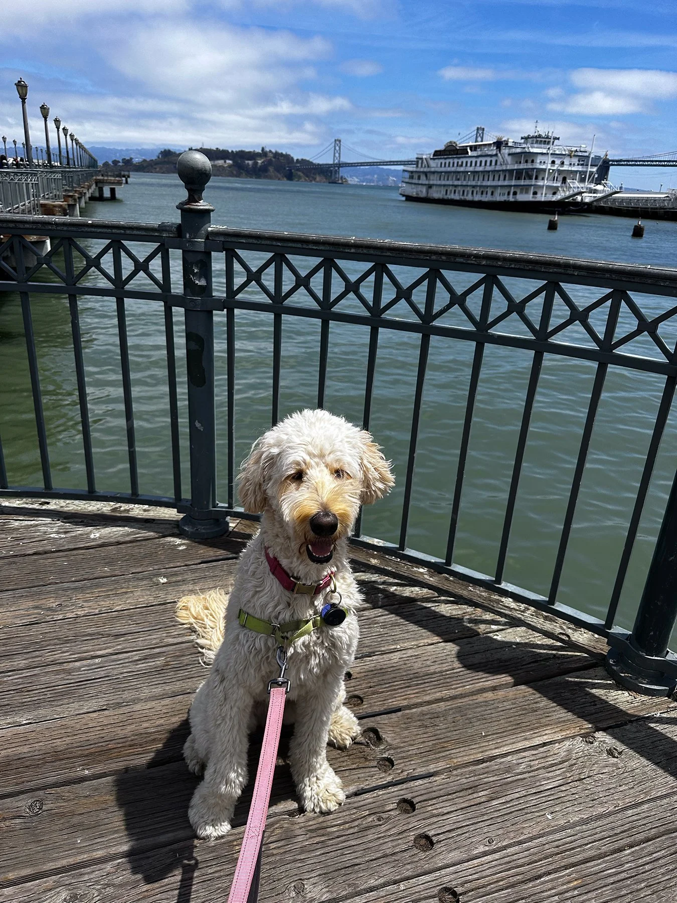
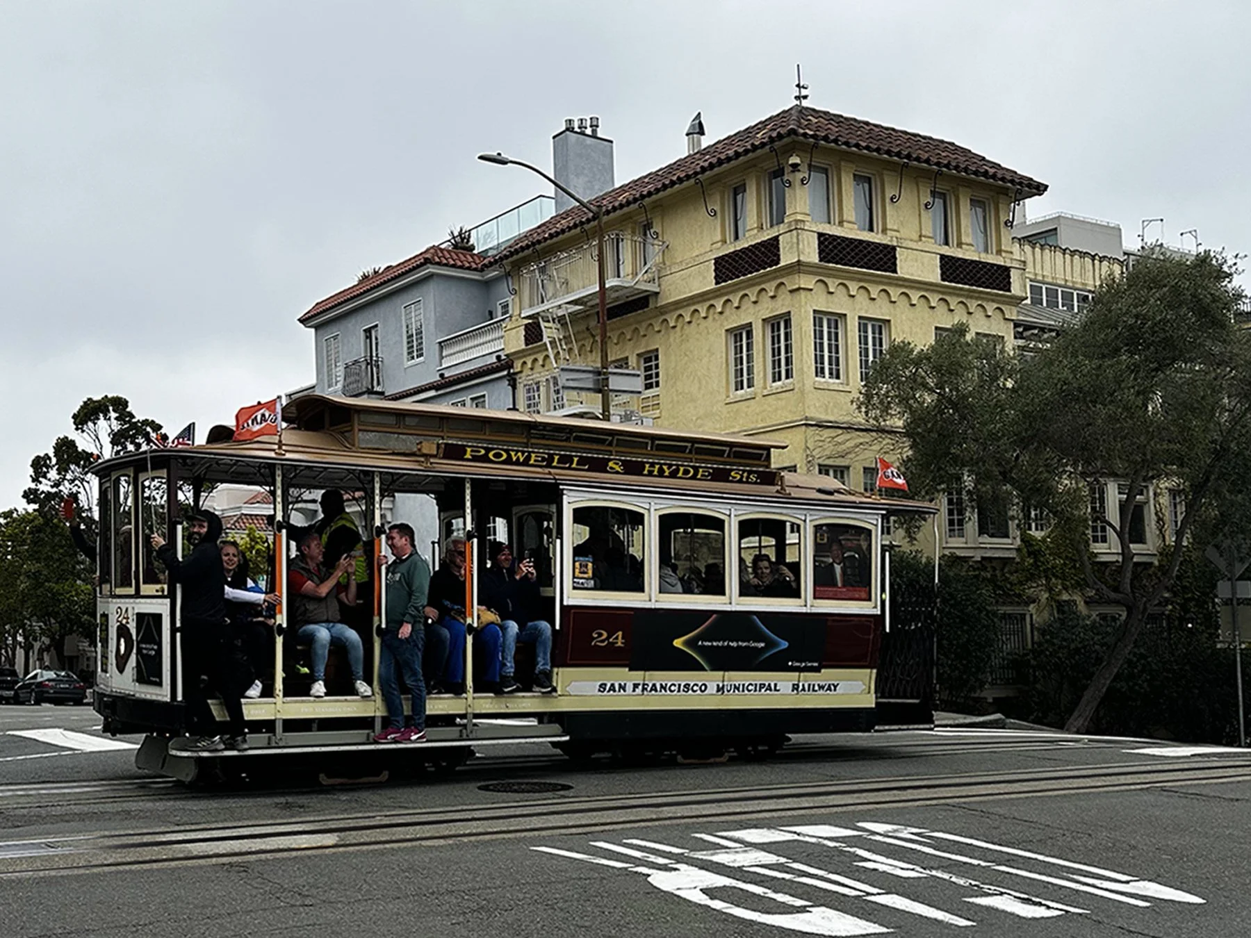
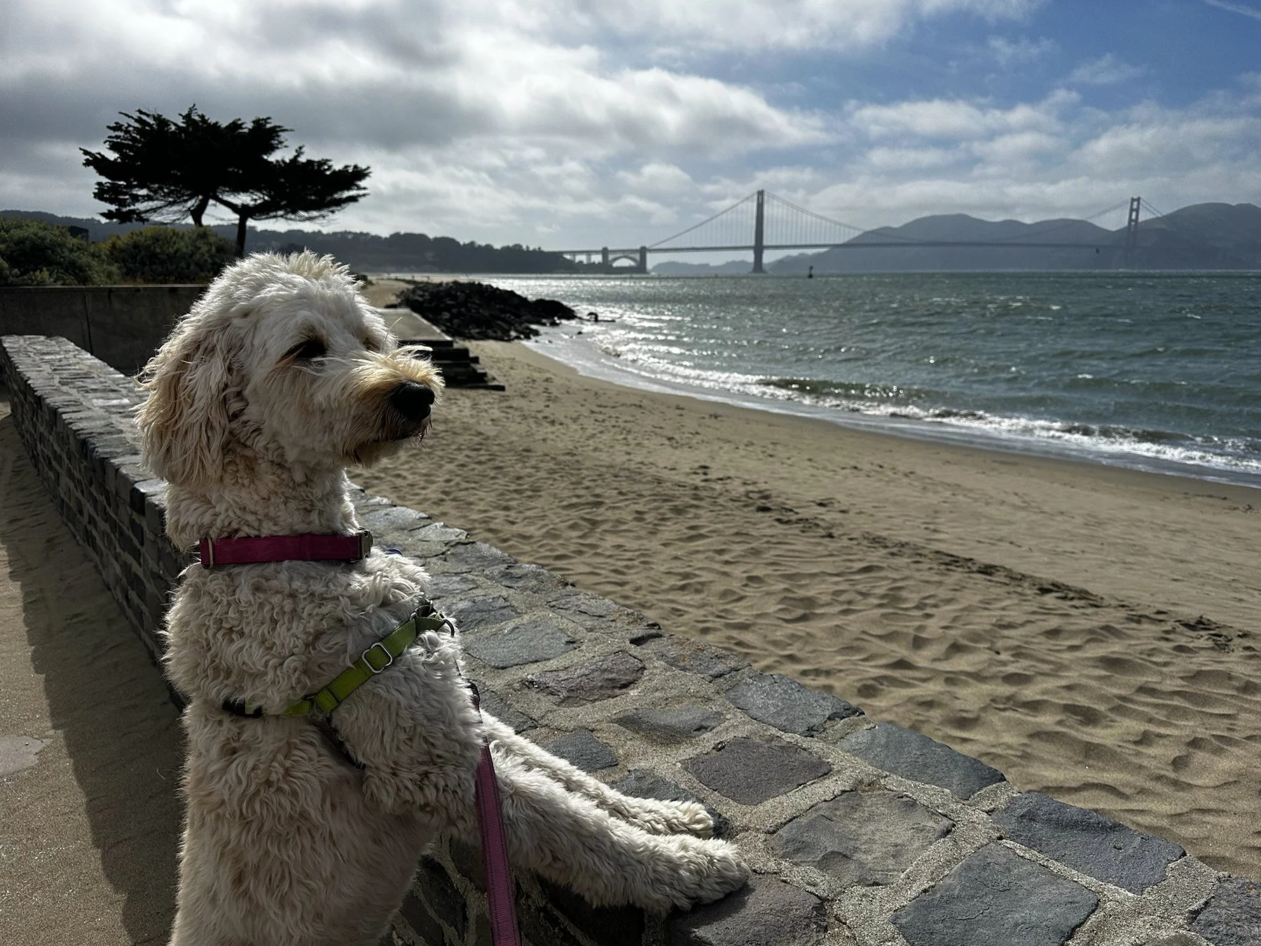
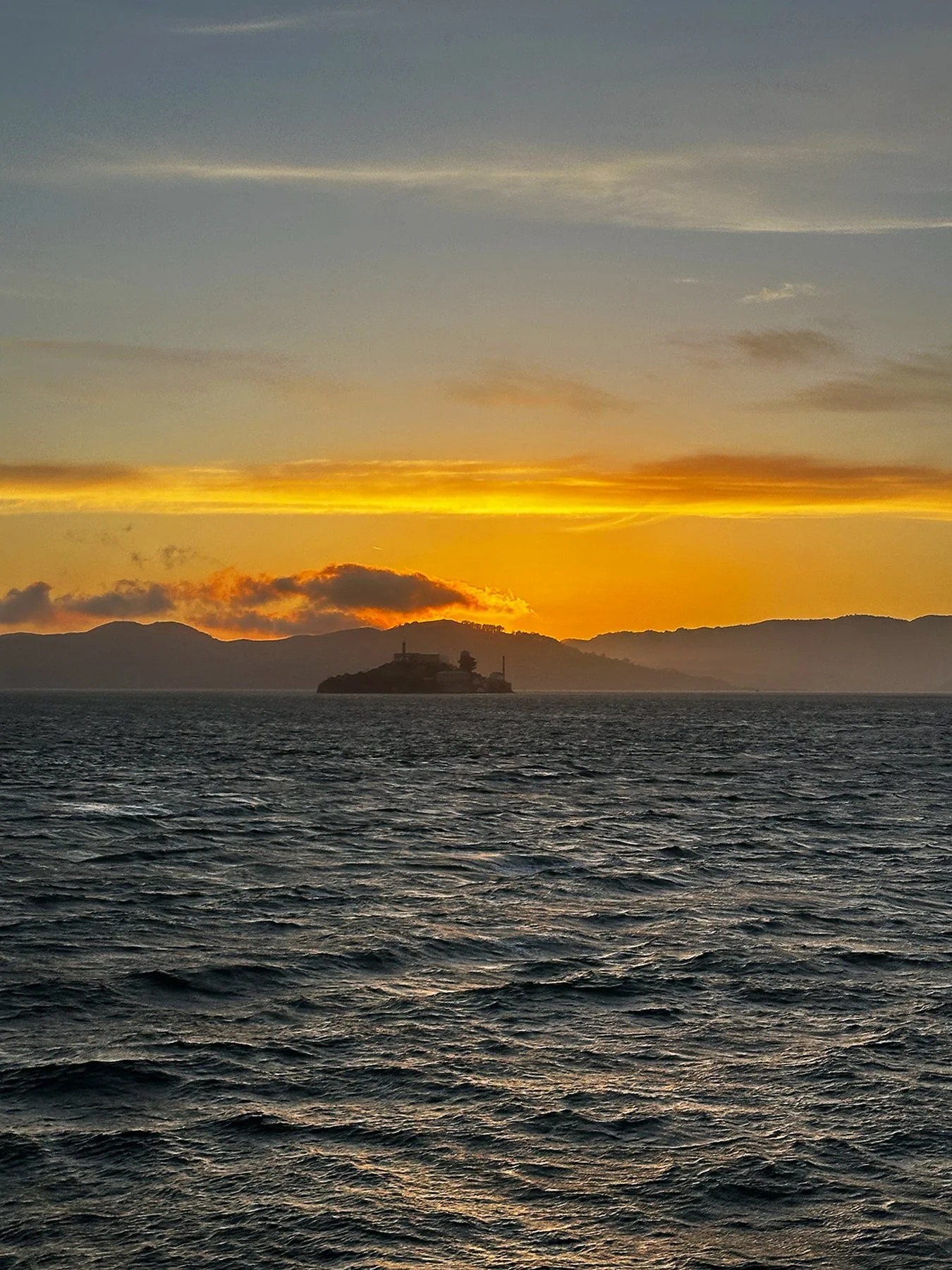
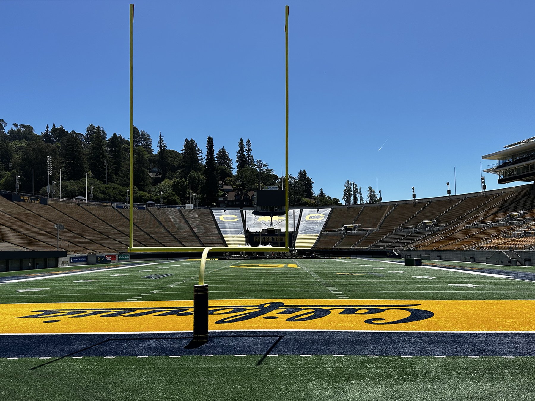
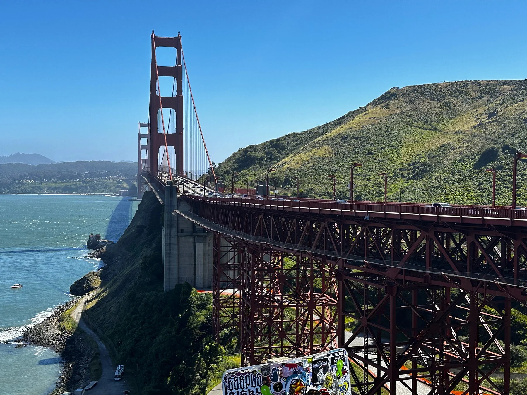
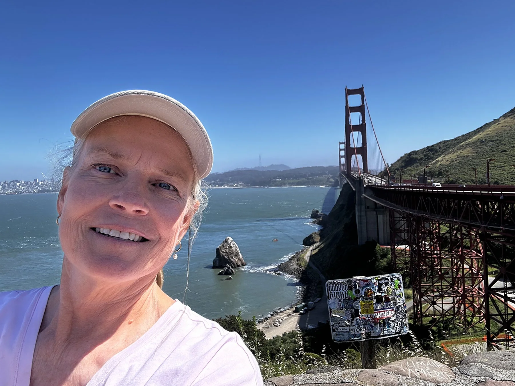
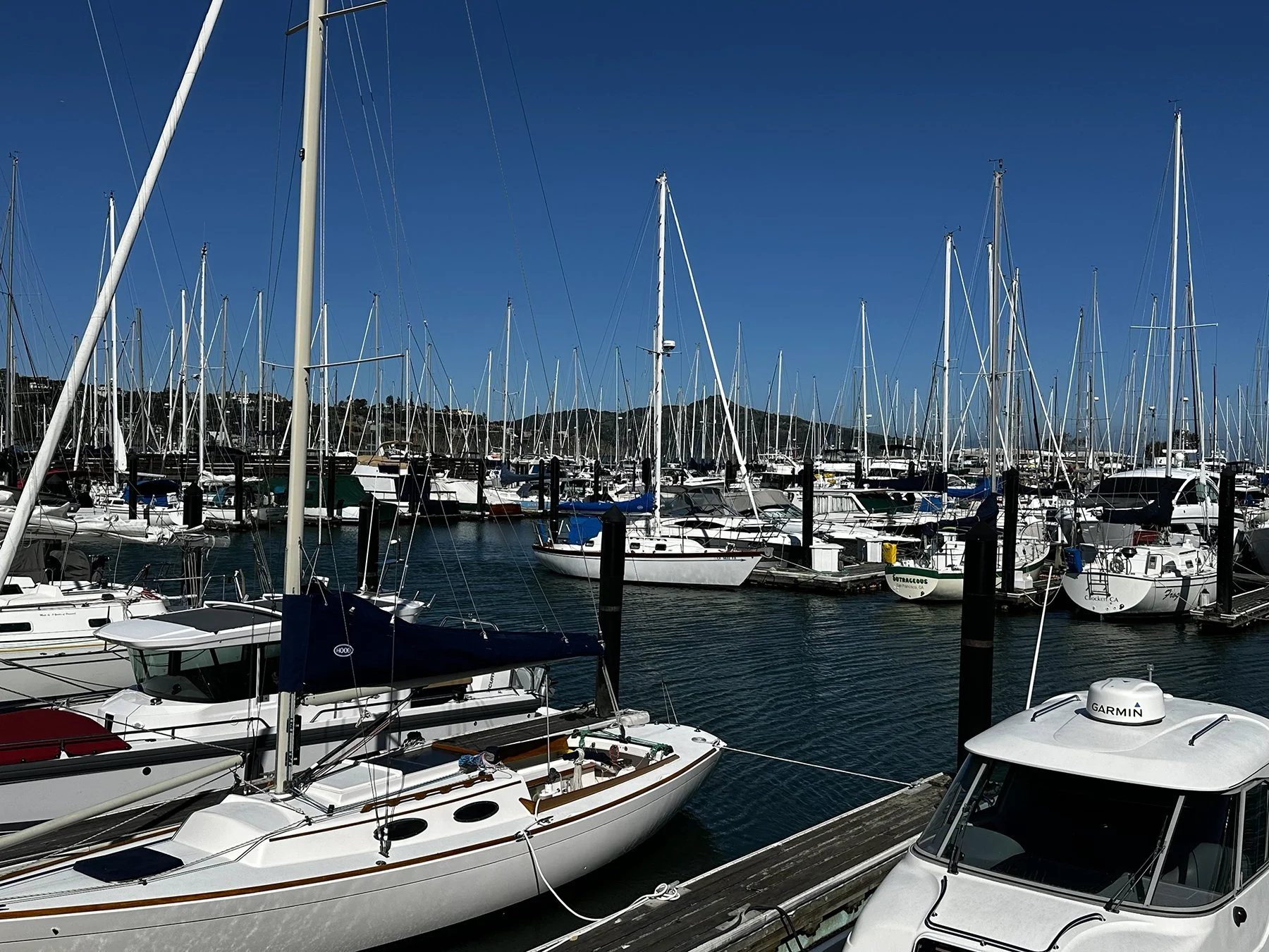
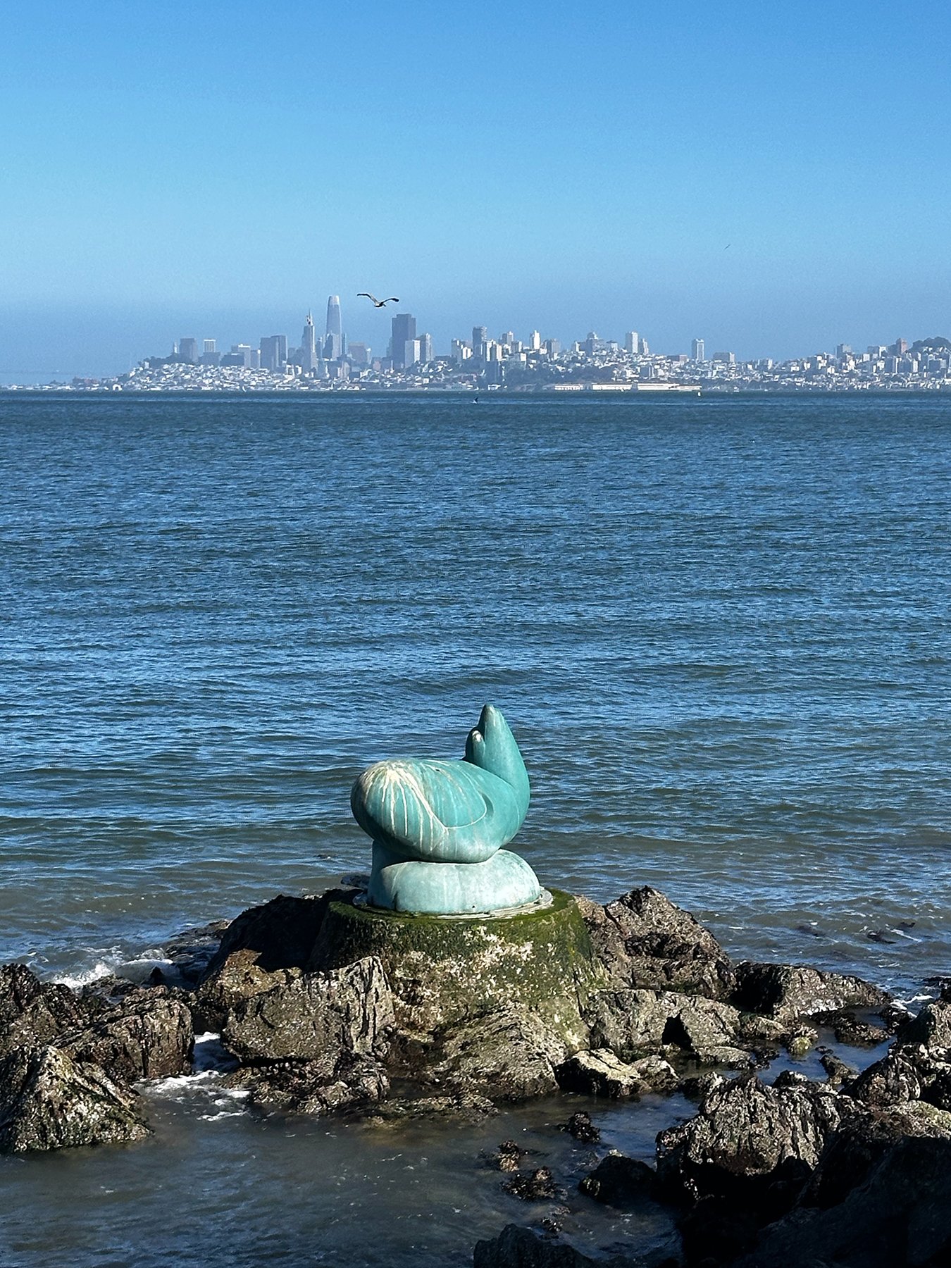
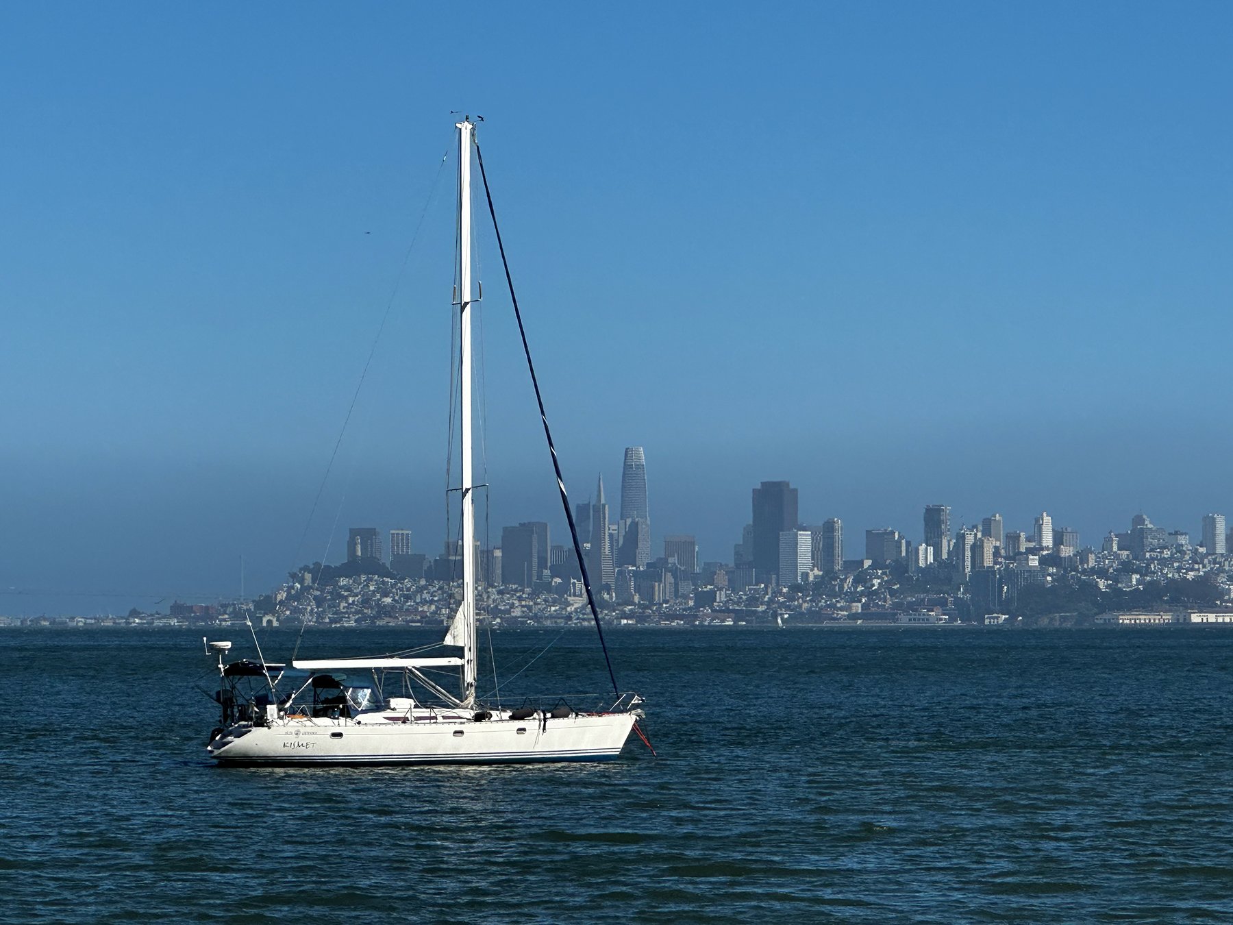
The next day we moved our campsite to the west side of Seattle, on the edge of Olympic National Park. In between exploring the park and the Olympic Peninsula over the next 10 days, we took a day to go BACK to Seattle for yet another World Cup game—and in this one, the US was playing! Again, how could I not join in? We took the ferry over this time (complete with a police boat escort :-0; see picture) and got to take in the iconic skyline as we crossed my namesake body of water, Elliott Bay :D. I was glad to have gotten the lay of the land earlier in the week, so I had a good feel for where to go before, during and after the game, knowing that it was likely to have even more fans in the area due to the US playing.


Heading to the stadium, we came across fans dressed in all manner of stars and stripes—and some Aussie green and gold, too. Everyone was so excited to be there! Joining the masses walking to the stadium, cheering and singing was just so … refreshing. And fun. I decided the best place to take in the game would be RIGHT outside the stadium so that I could hear the cheers and jeers, the chanting, the announcers, the national anthems and the drumming, almost as if I was in the stadium. We eventually found a spot to be able to sit down just outside the main gates (a large concrete planter), watched the Tomahawk choppers fly right over our heads, and joined a bunch of people with the same great idea, LOL.


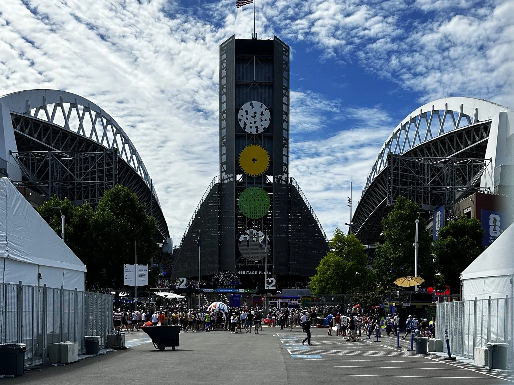


There was just one little hiccup. Watching the game live on my phone, it didn’t take long to realize there was at least a 30-second delay between the live action and the feed I was watching along with the rest of the world. So when we heard the raucous roar of the fans a mere 11 minutes into the game, we were all pretty confused. Afterall, on our screens, the ball was on our defensive end of the field, and they were just playing through. Then 30 seconds later, we saw the goal happen. IYKYK (if you know, you know). While thrilled to be that close to the action, I decided to head out across the city to experience the craziness of the watch parties for the second half of the game. The Pioneer Square watch party was PACKED to say the least. It was a bit of a challenge to maneuver through that mass of humanity—but again, it was super fun as everyone was just having a good time. We ended up at Pacific Place, a downtown three-story mall with a giant atrium where they stacked three massive screens on top of each other to stream the games where people can see from all three floors of this fancy-ish mall. They even converted one end of the mall for a fan-oriented area called Seattle Soccer House, with makeshift bars, lounges, and play areas for kids.


We also went back to the Space Needle, walked the whole wharf again, explored Pike Place Market, and took in the sights and smells of the city. We had another long but really fun day before heading back on the ferry. I forgot to check, but we probably walked another 8-10 miles.


All in all, I found Seattle to be a lovely city—realizing though, of course, that my experience there was quite skewed by all the World Cup fanfare. While I don’t think I’d want to make Seattle my permanent home—with only 71 completely clear, sunny days each year—I could see myself living in the area; the whole Pacific Northwest is just so darn beautiful!!
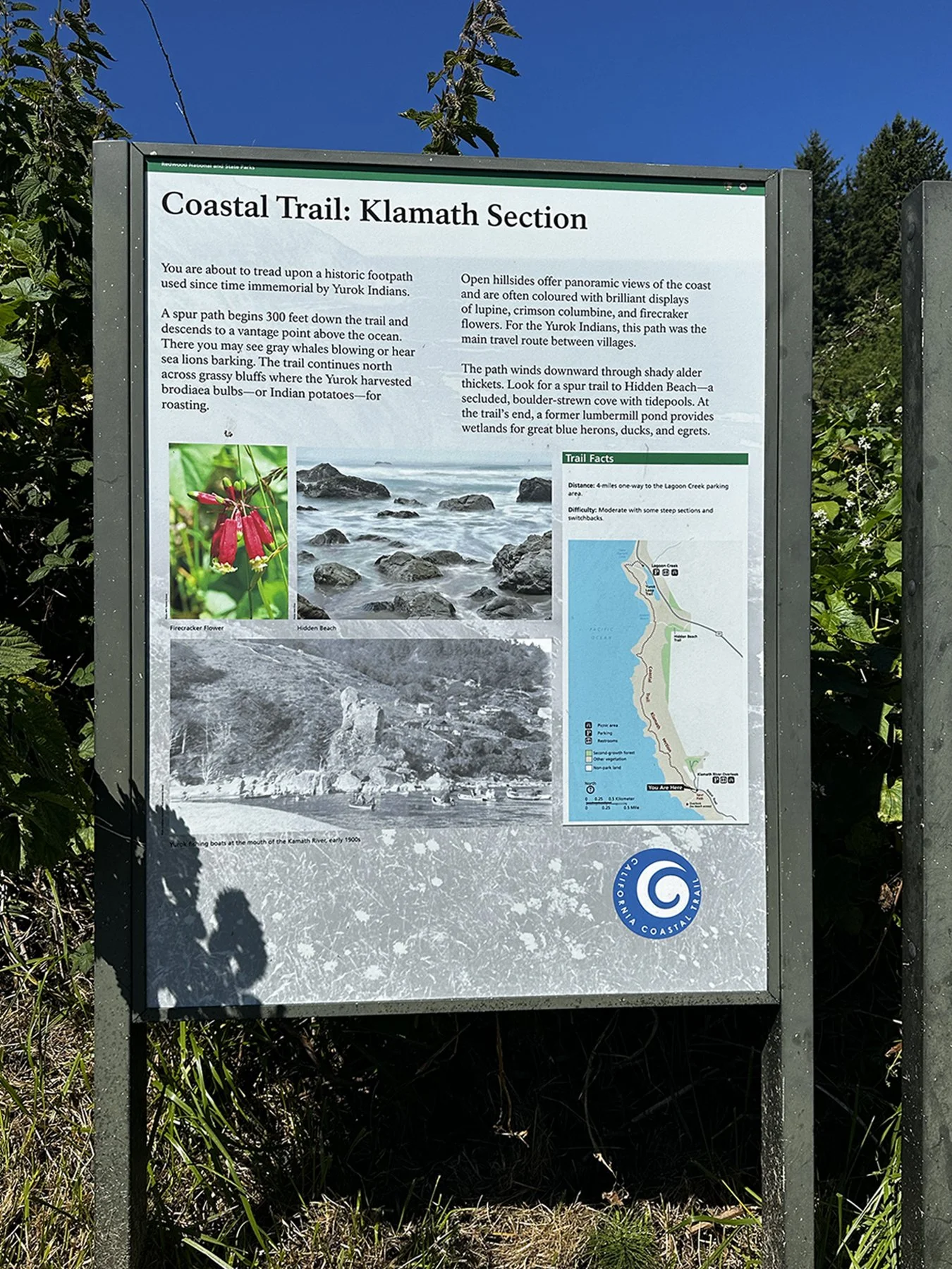
Olympic National Park
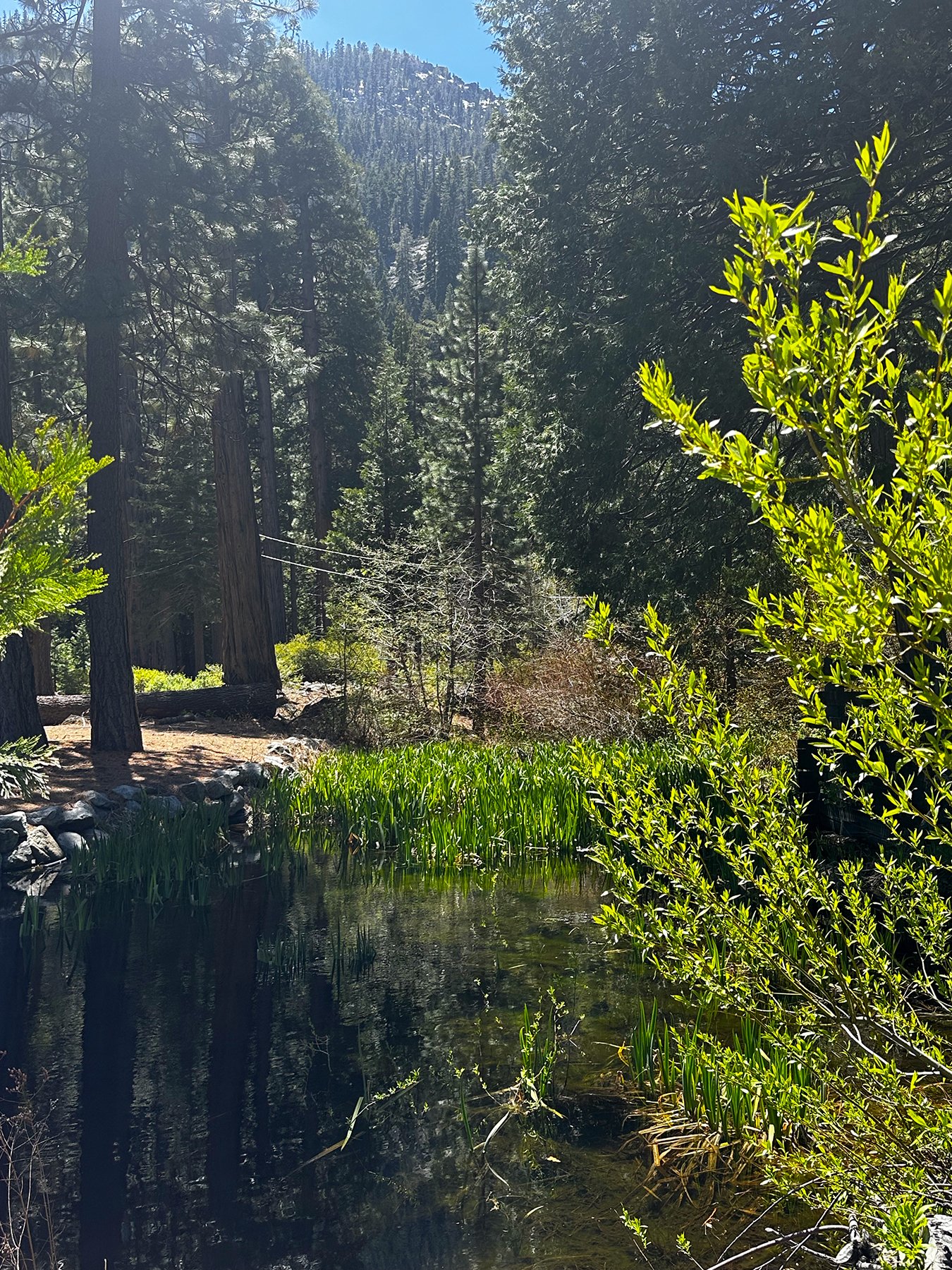
I was super excited to head out to our next national park: Olympic. I’ve read about its mist-shrouded, primeval grandness with lush rain forests, wild coastlines, imposing mountains, and ancient glaciers. All in one place. And well, it’s a really big place.
I was actually quite surprised to learn that Olympic National Park is only the 13th biggest NP in size (at 922,651 acres and 1,442 square miles), because Y’ALL. This. Park. Is. Massive. Perhaps it seemed more so because there are no roads that allow you to traverse through the park. So to get from where I was staying on the east end of it to the west—near the Pacific Ocean and where my-bucket-list-Hoh Rainforest is—it would take three hours to drive to. To be honest, when I first made my campground reservation, I saw that it was near-ish to one of the park entrances, so thought it would be great to make that my home base, making different day trips to see the majority of the park. Day trips? Sorry, but I was not going to drive 3 hours to the Hoh, hike and explore for a few hours, then drive 3 hours back all in one day. I mean, I spend enough time on the road between campgrounds, so I just wasn’t up for that. So, I altered my plans slightly, tagging on a few days at the end of the week to stay on north end, then a few days on the west. Lemonade, anyone?
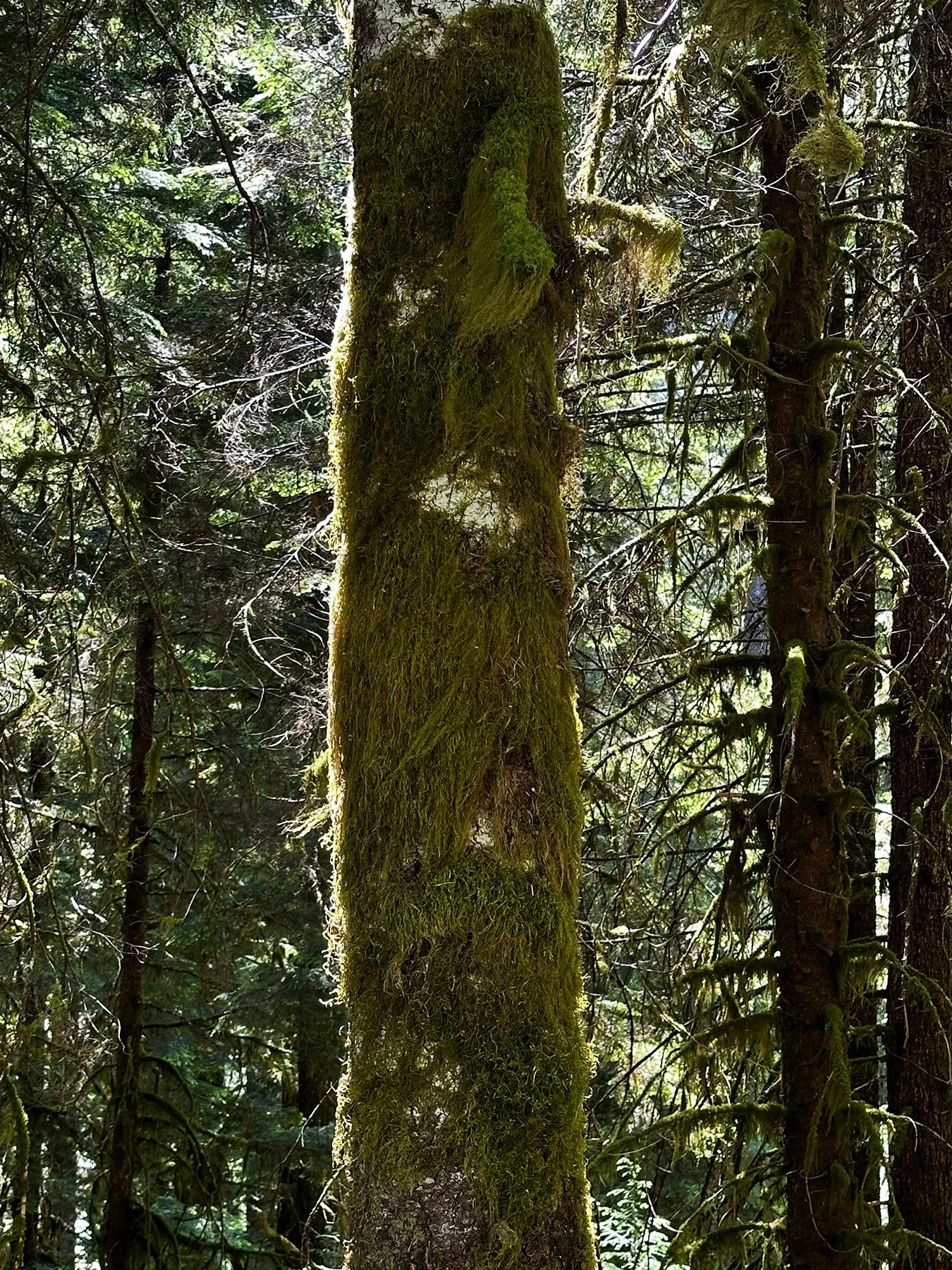
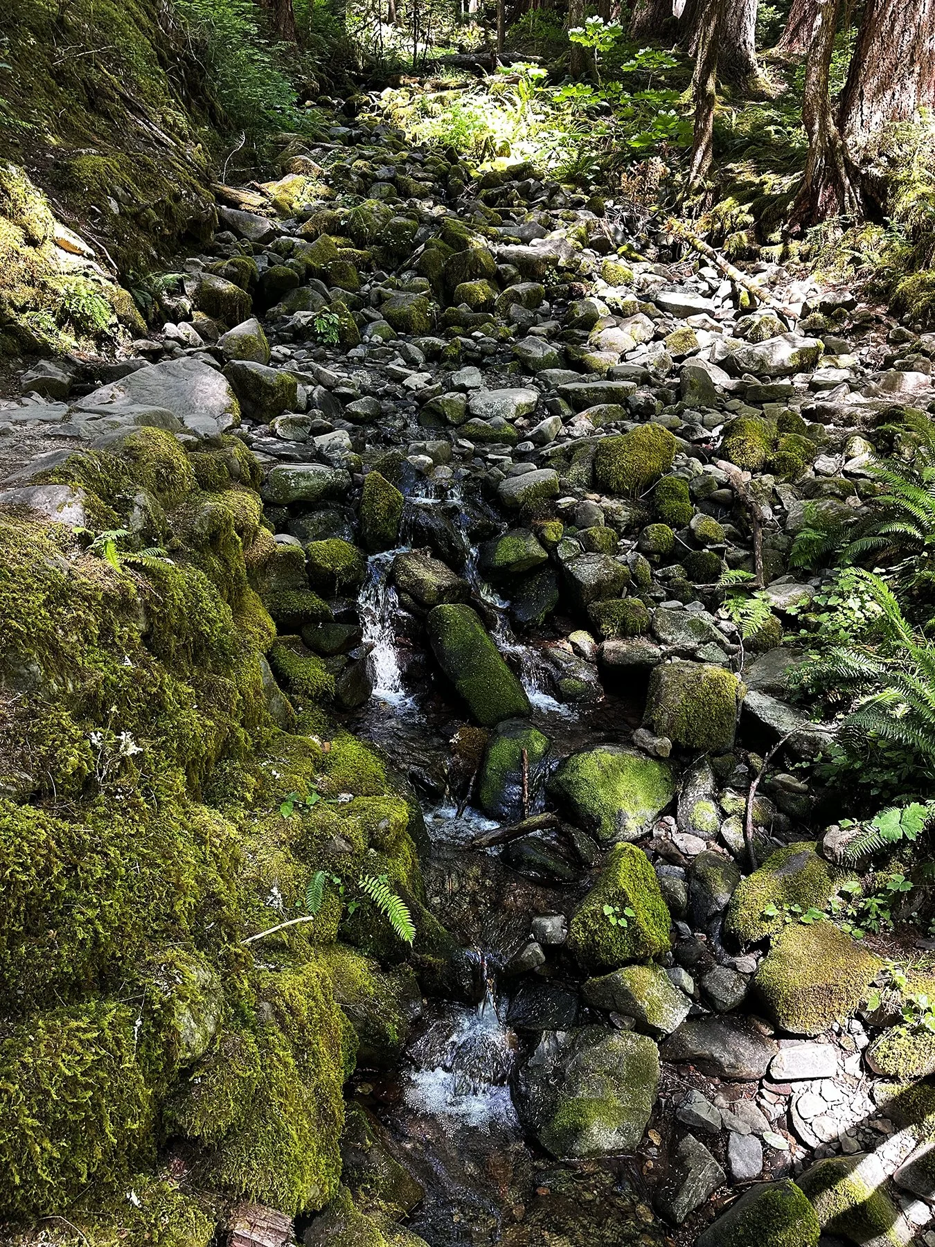
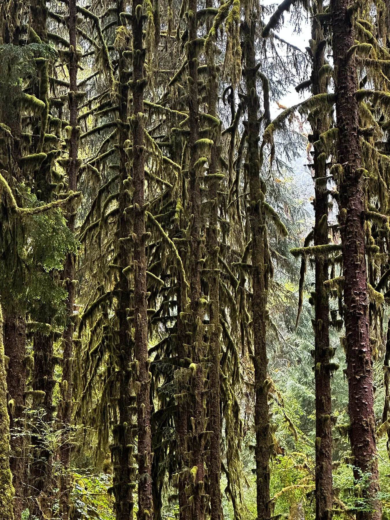
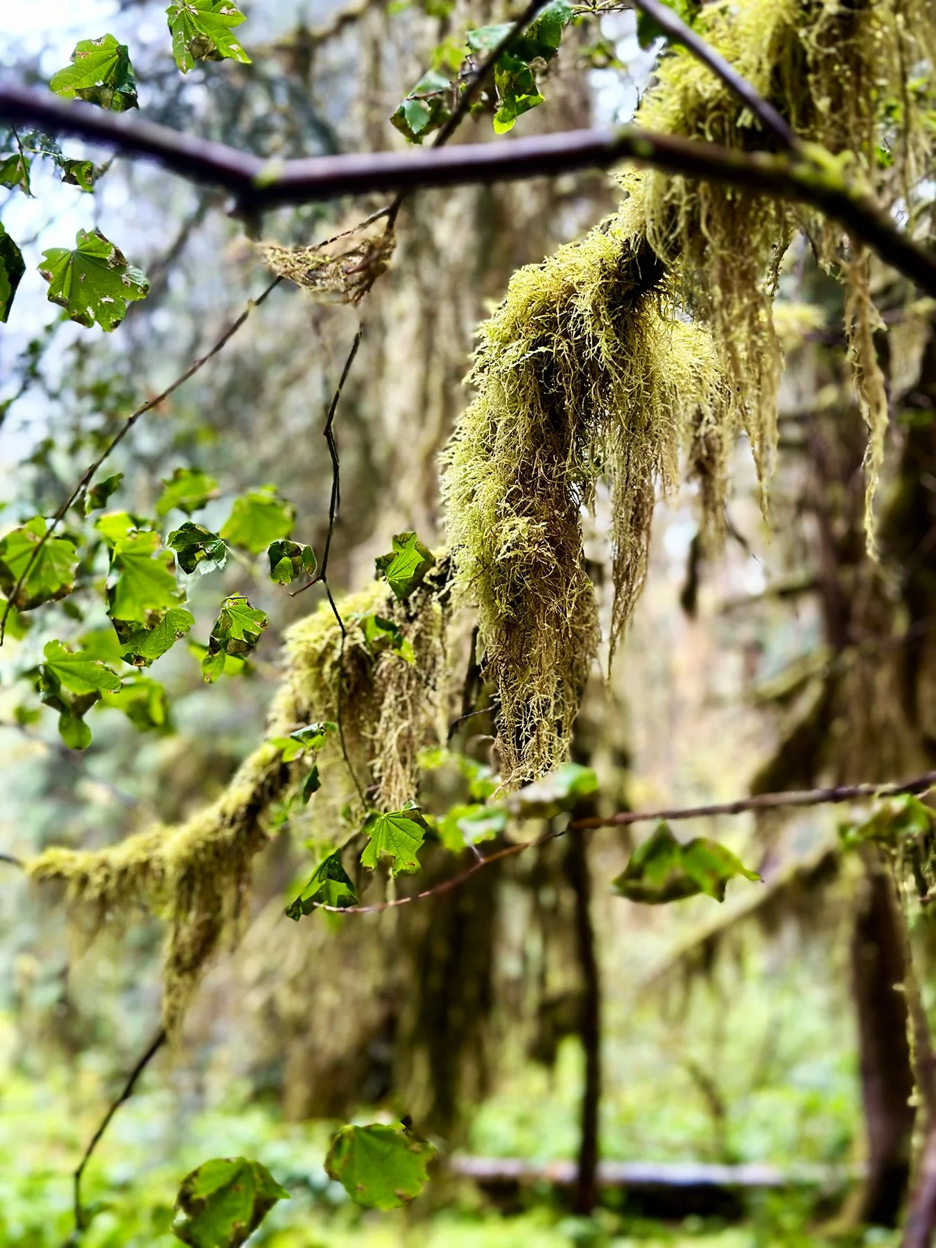
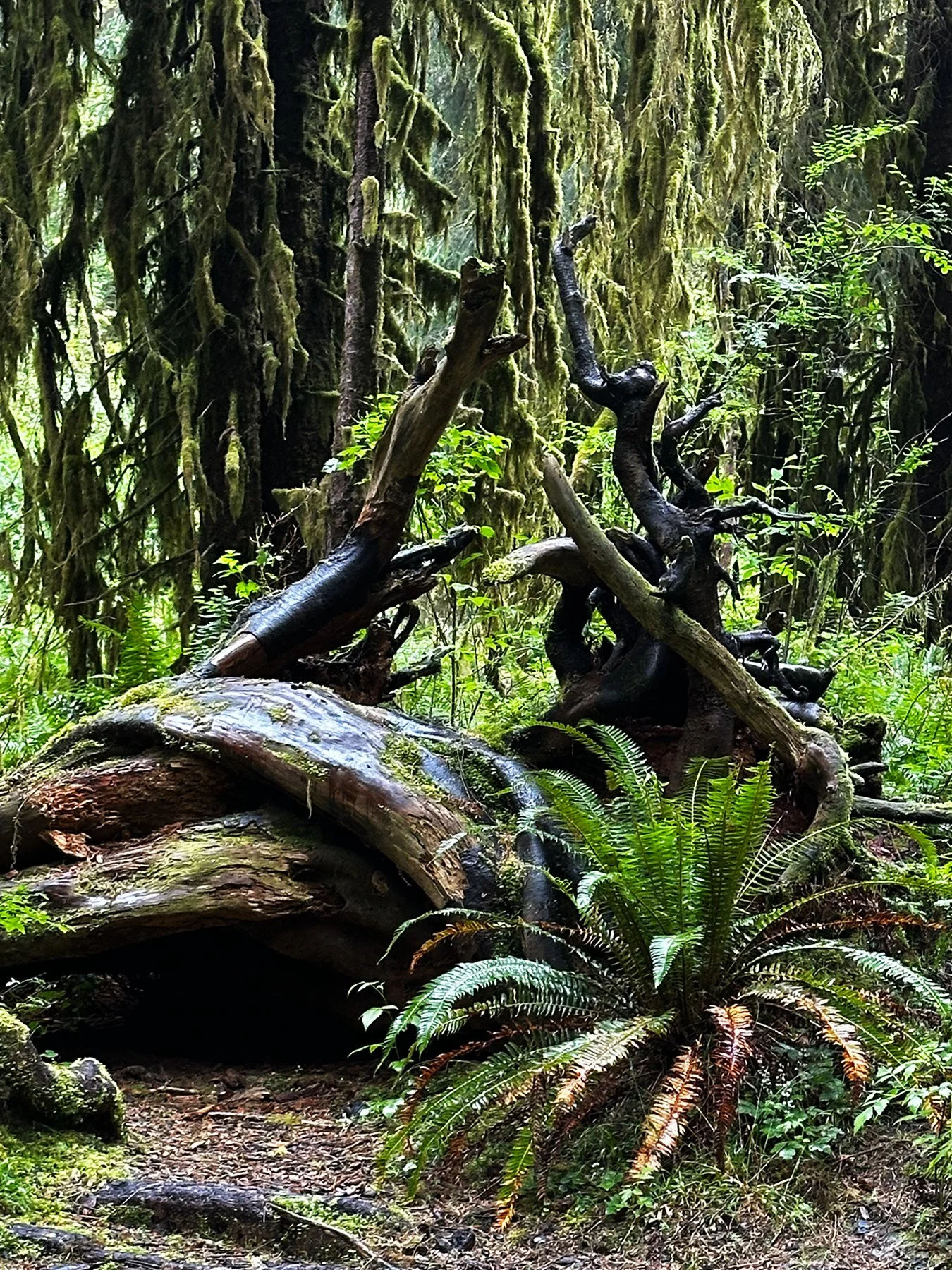
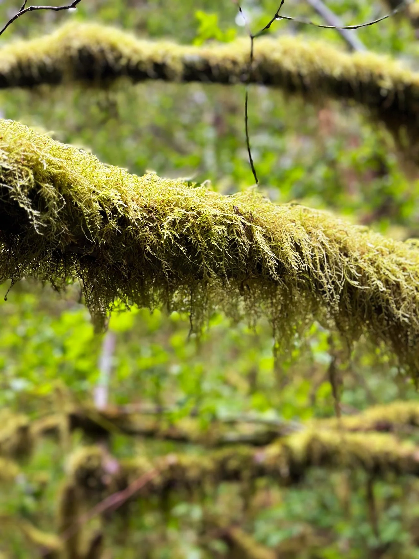
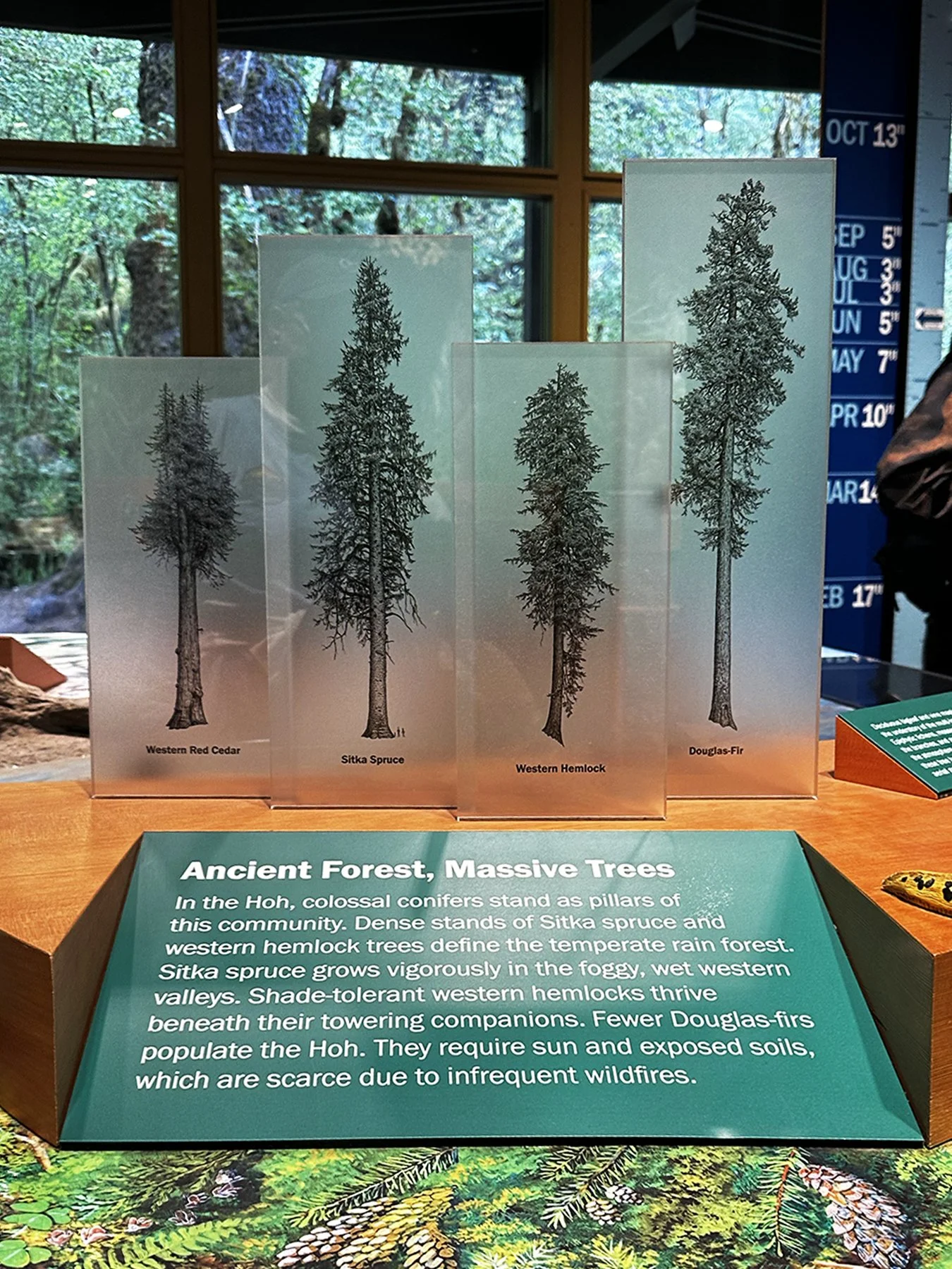
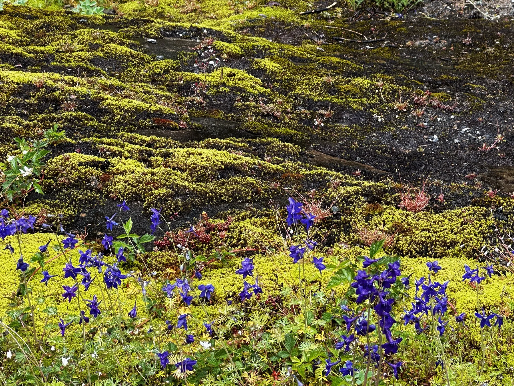
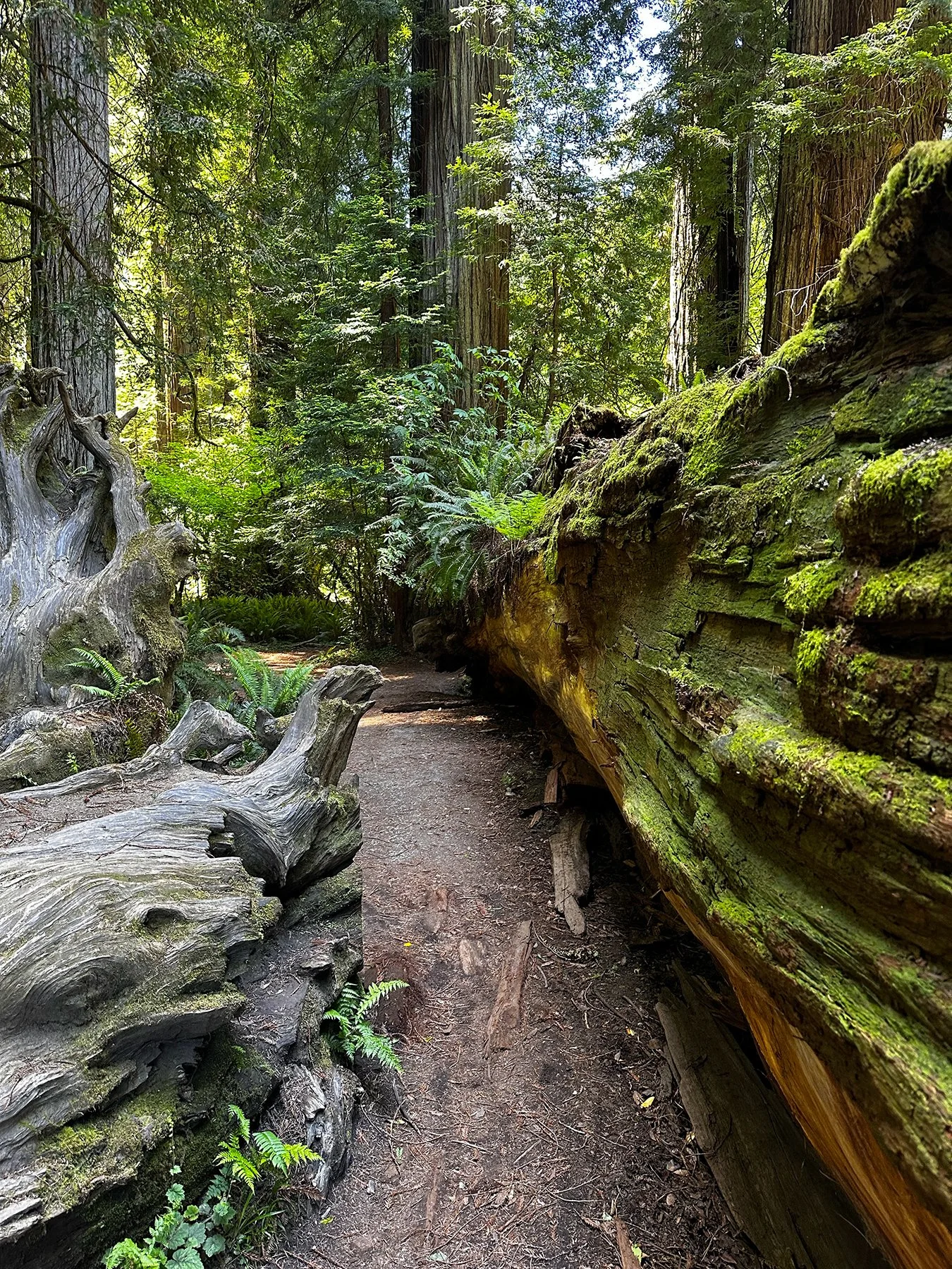
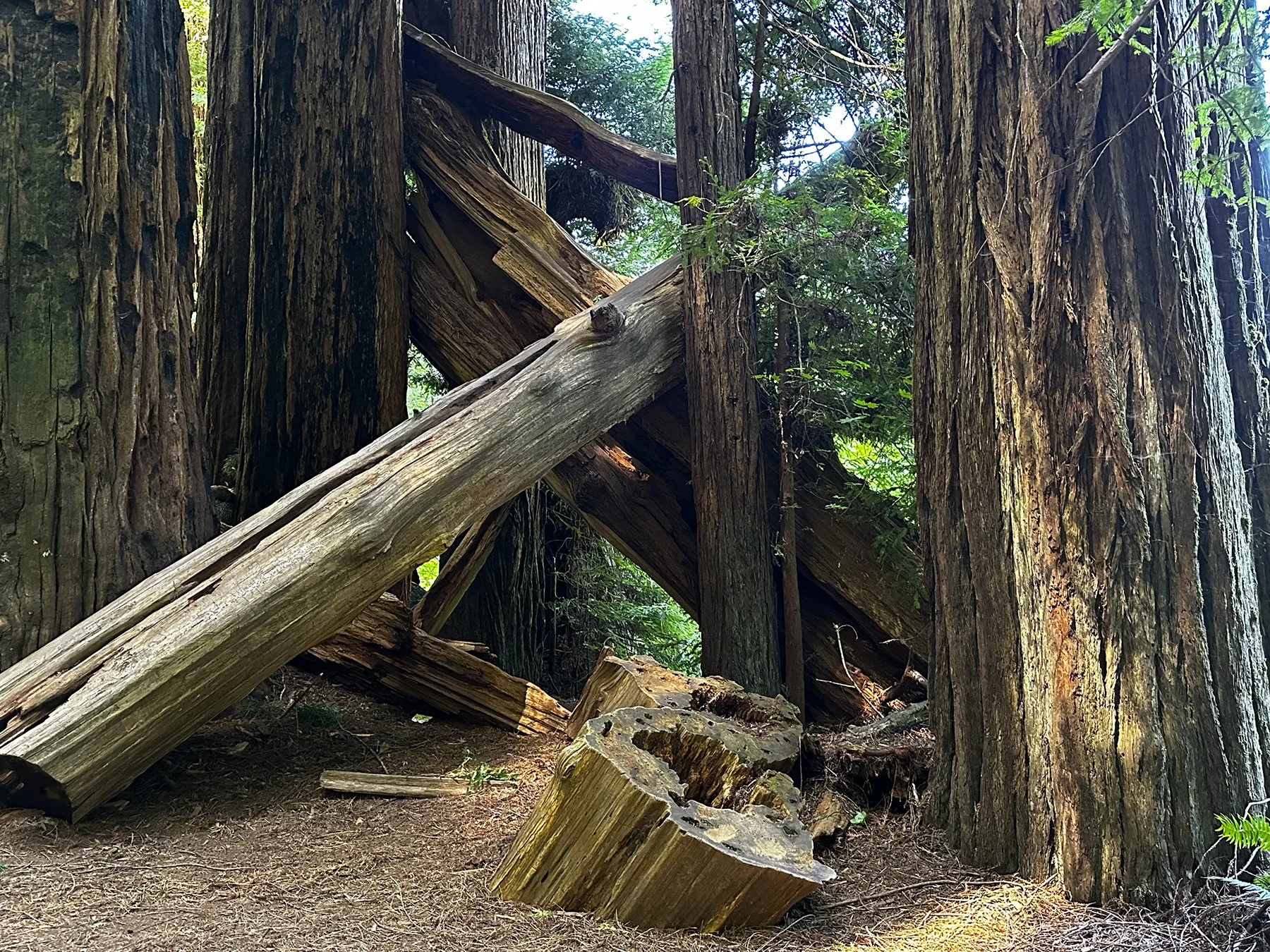
This whole area is pretty indescribable—even for me, who never seems to be at a loss for words. If I had to describe it in just a few, I think I would choose … wild, untamed, diverse wilderness. Yeah, that’s the ticket. This magnificent place is home to some of the biggest trees in the nation—fir red cedar, and spruce among them—as well as some of the wettest spots on the planet.
“Starry night skies, melodic flowing waters and silent places to seek solitude all speak to the wilderness character of Olympic National Park. A sanctuary for wildlife and for the human spirit, this diverse landscape sets the stage for wilderness adventure.” – NPS
“There are no words that can tell of the hidden spirit of the wilderness.” – Theodore Roosevelt
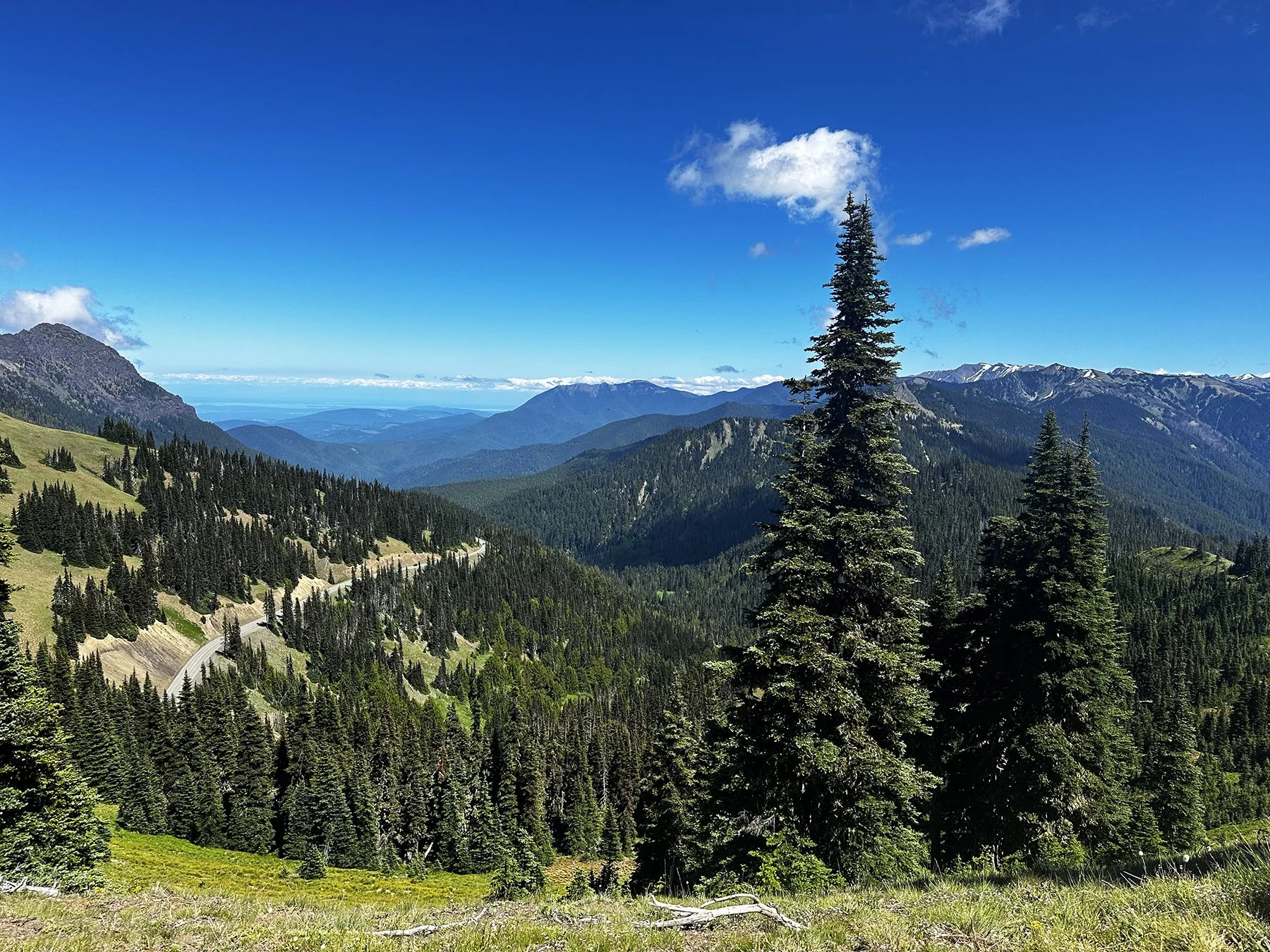
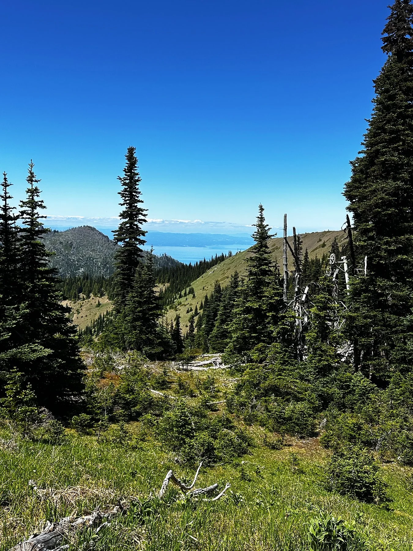
Hurricane Ridge
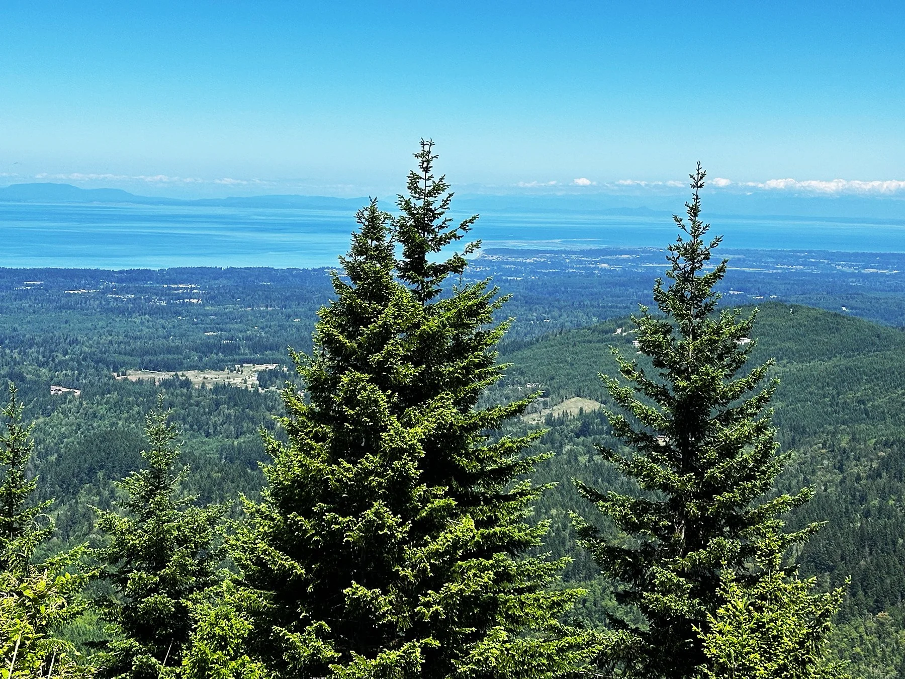
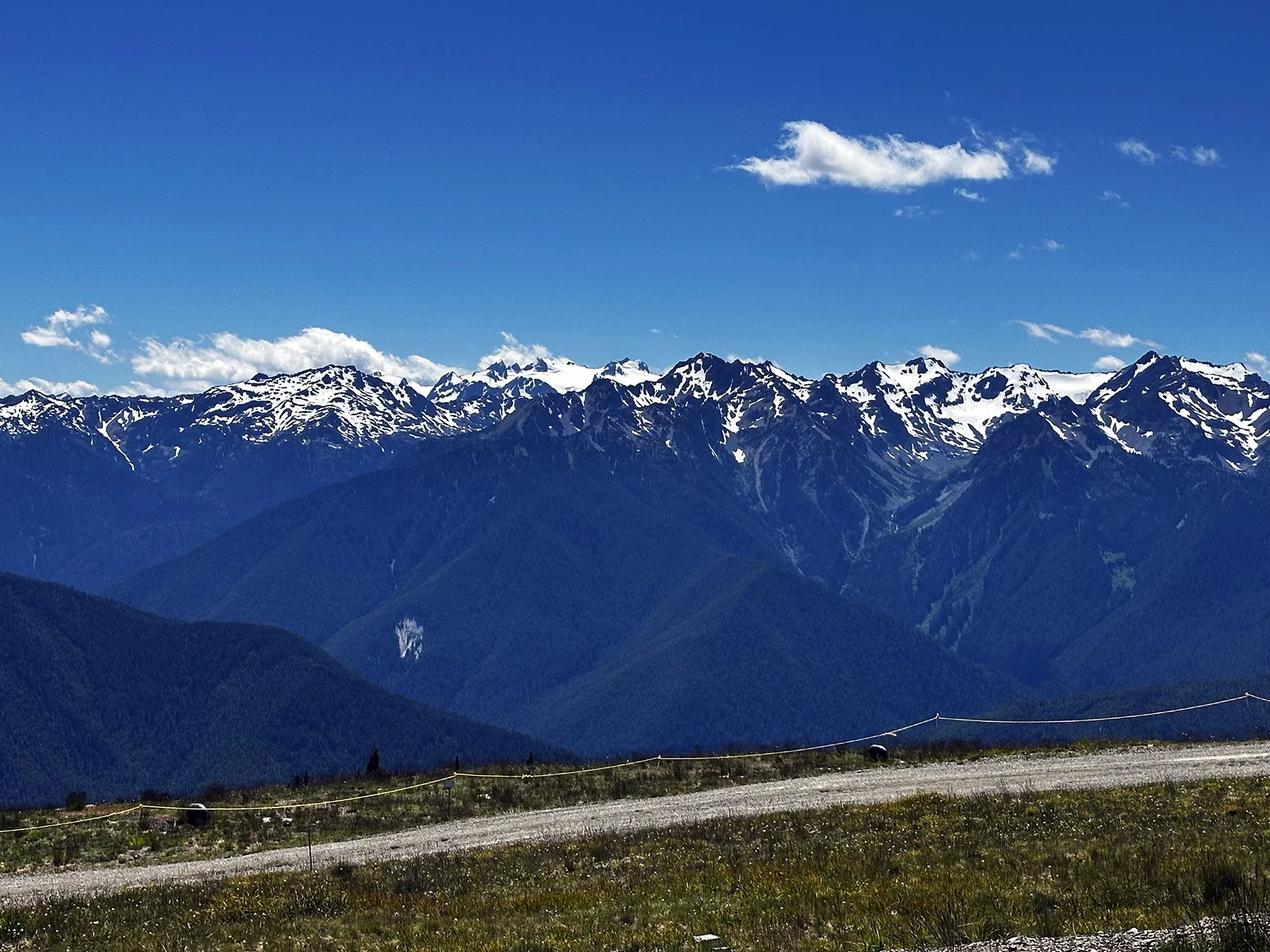
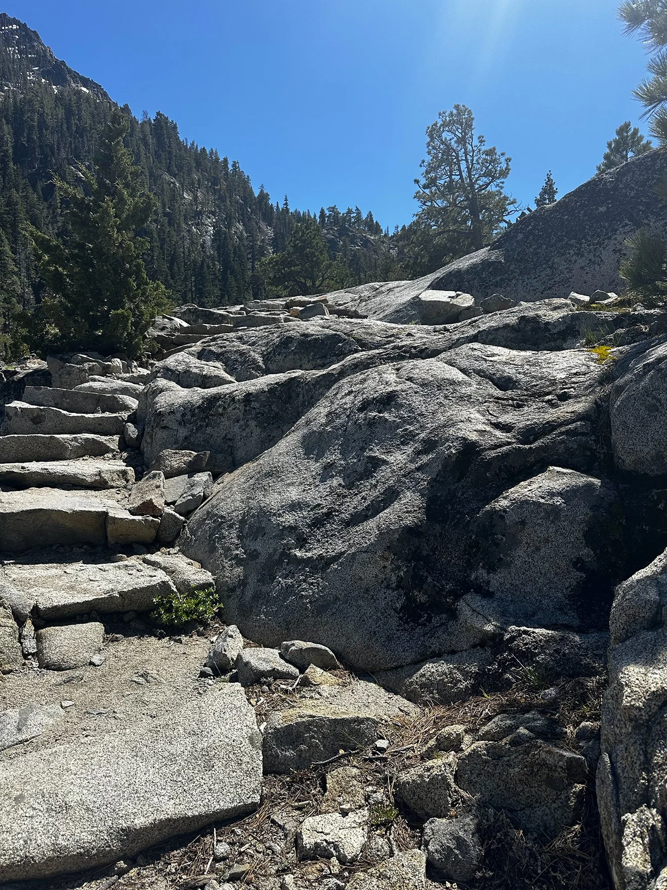
Like most national parks, Olympic is so intensely beautiful. We started our journey in Port Angeles and took the iconic drive up Hurricane Ridge to unbelievable panoramic views of the Olympic Mountains. The 17-mile drive is a winding, narrow 2-lane road with steep ascents climbing over 5,000 feet. While it is fully paved, it does have guardrails in most dangerous areas (thank God!), and it climbs quickly up a 7% grade with several sheer drop-offs and blind curves as you break the treeline. But the views once you reach the top? Jaw-dropping. Even for those who might drive the Ridge while strangling the steering wheel, white knuckles and all, would find it worth it. (That’s not me, BTW, I love it!)
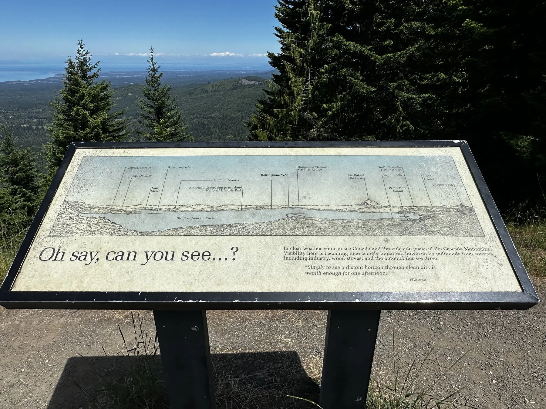

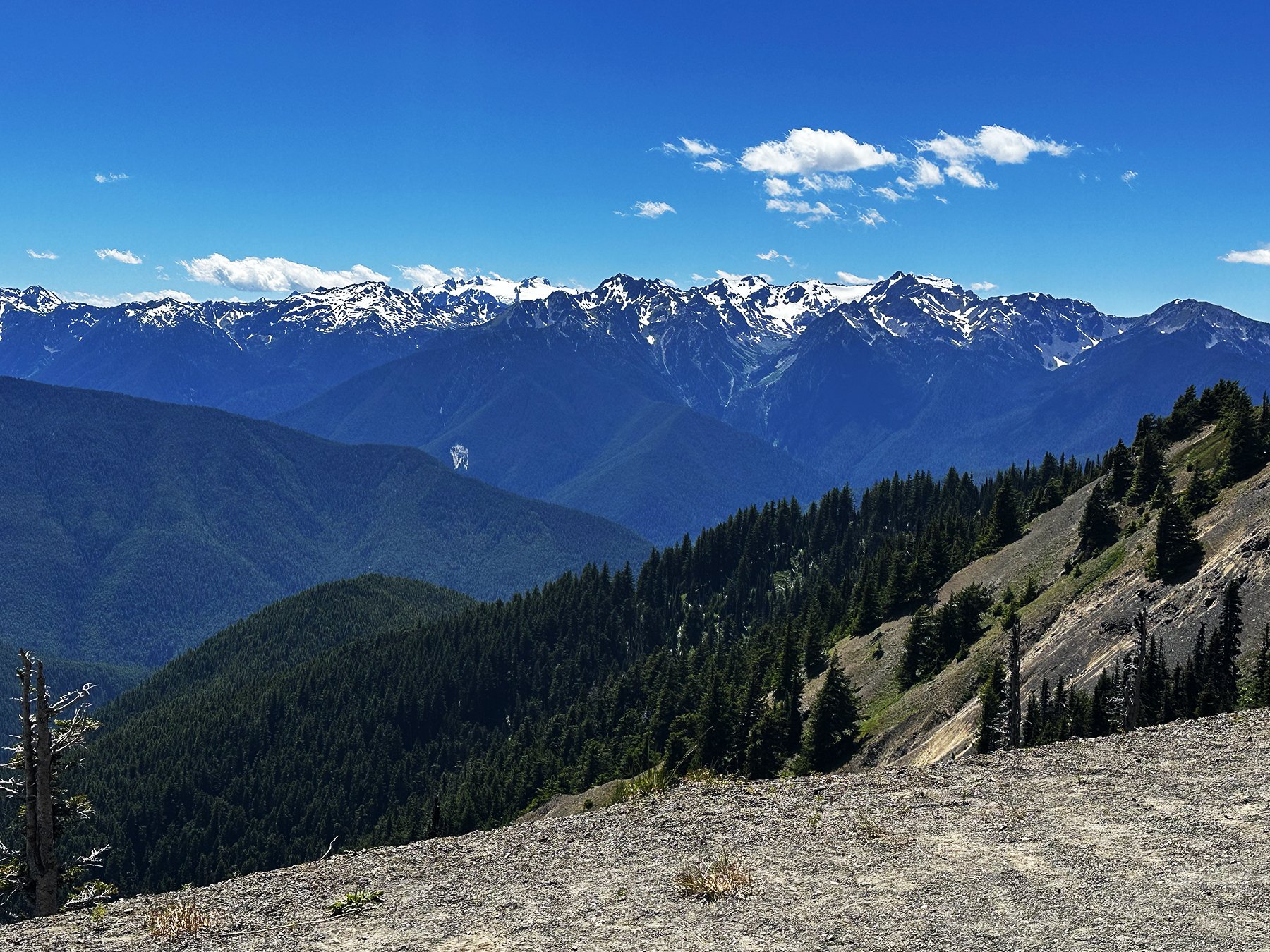
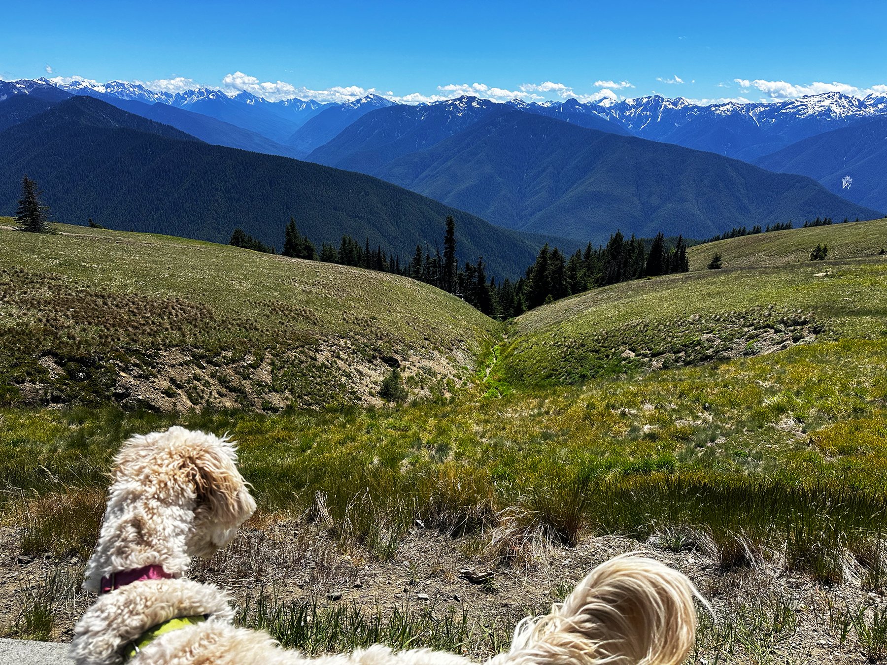

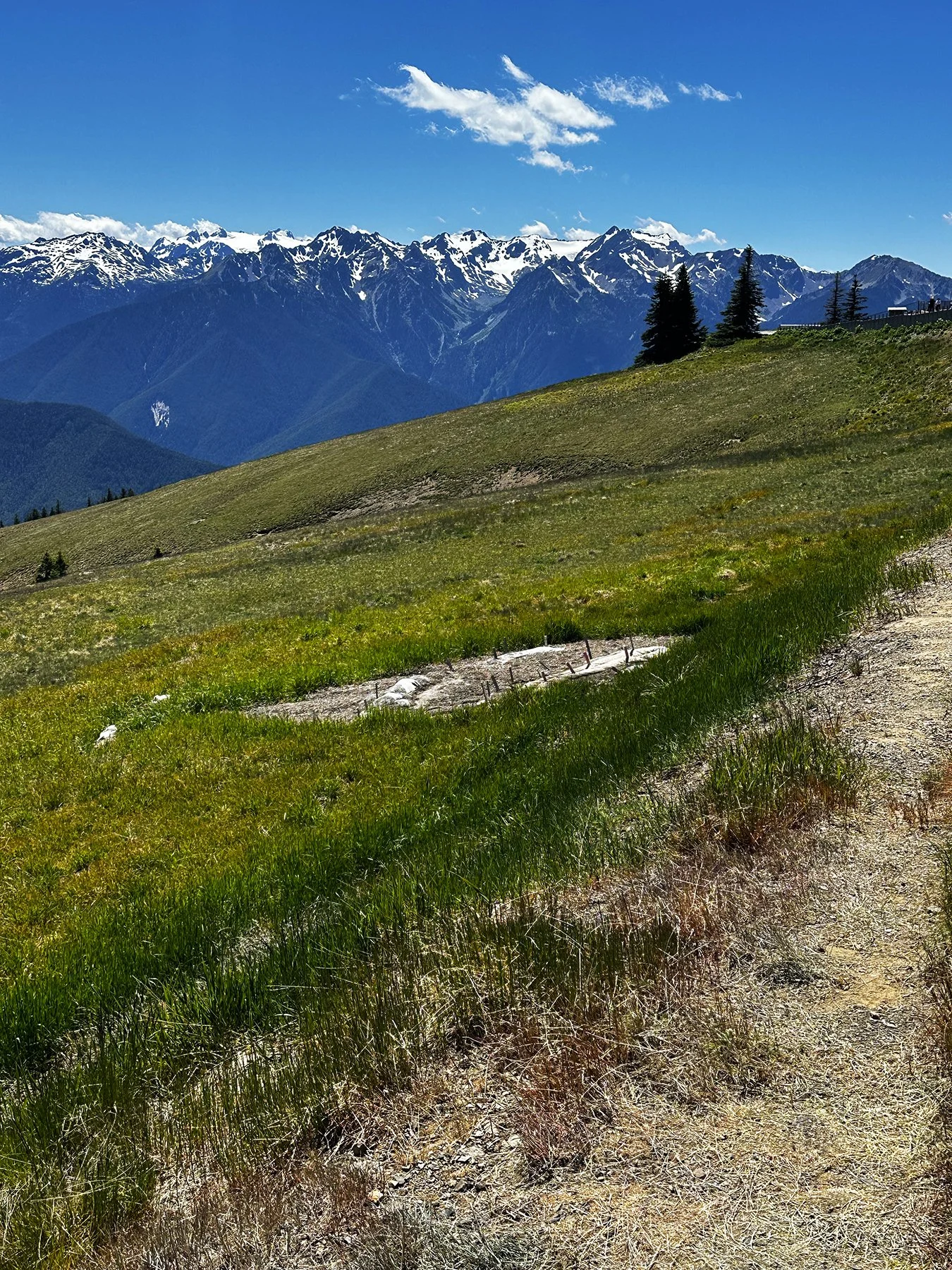
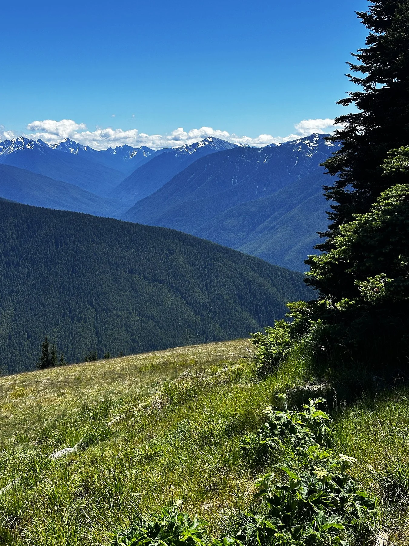
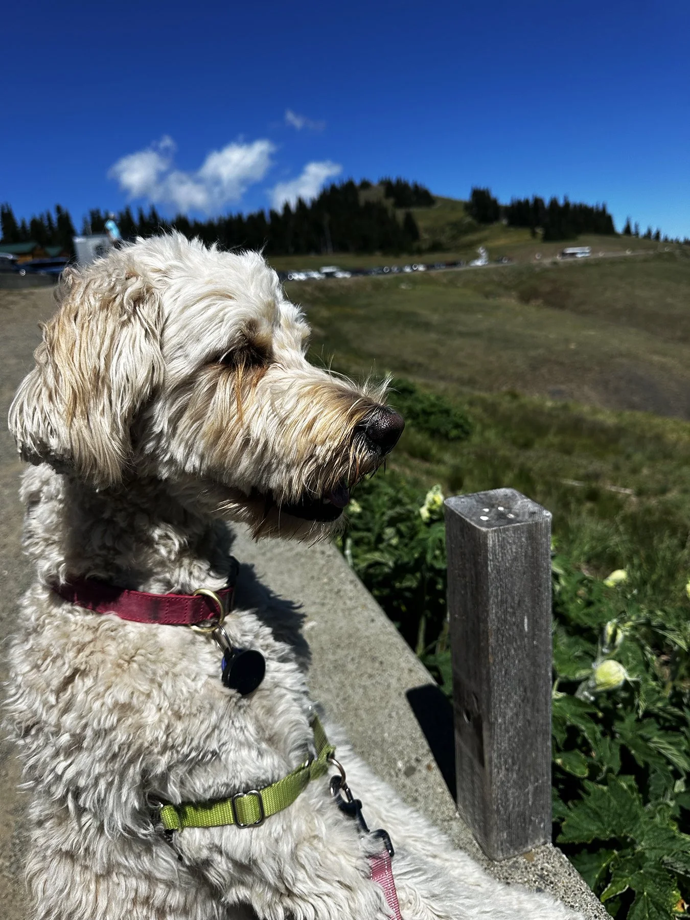
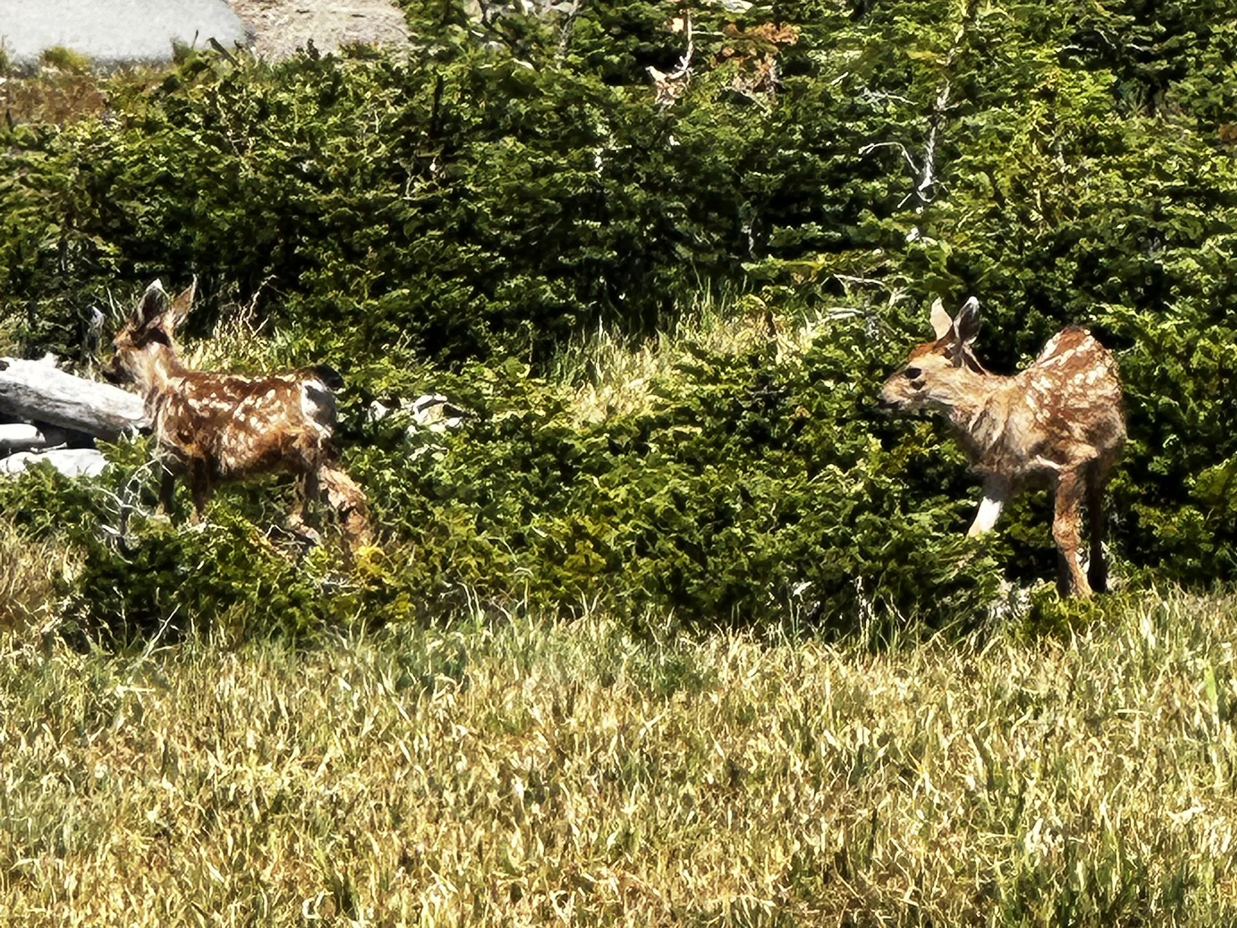
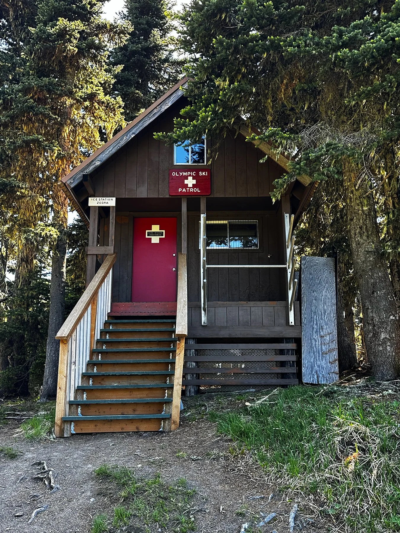
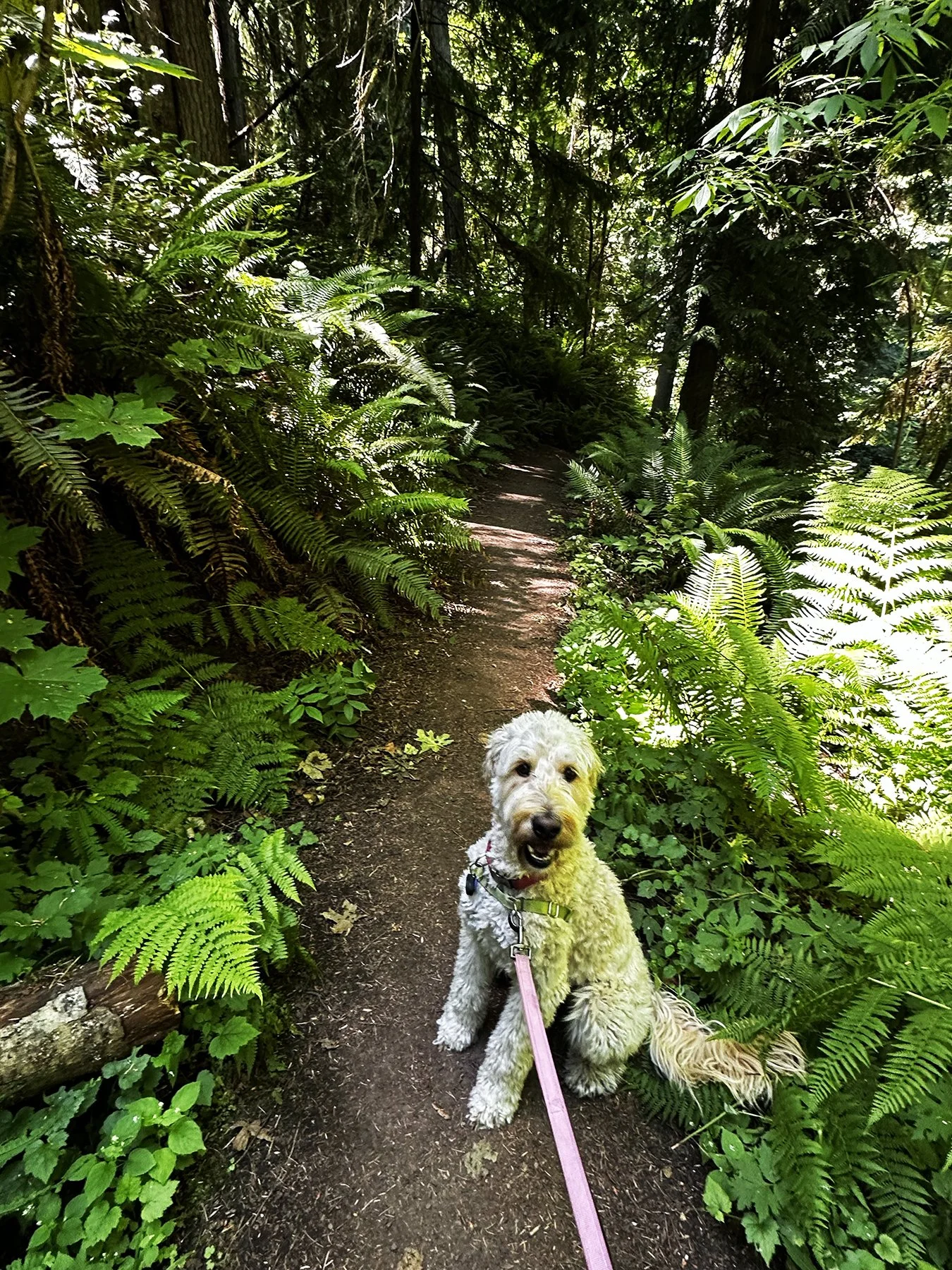
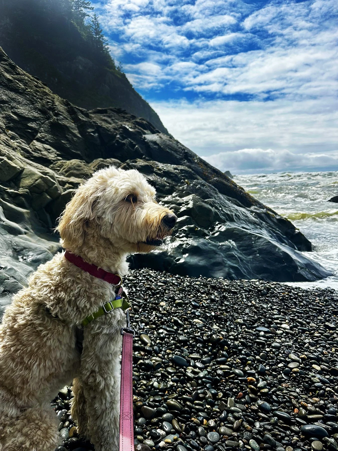
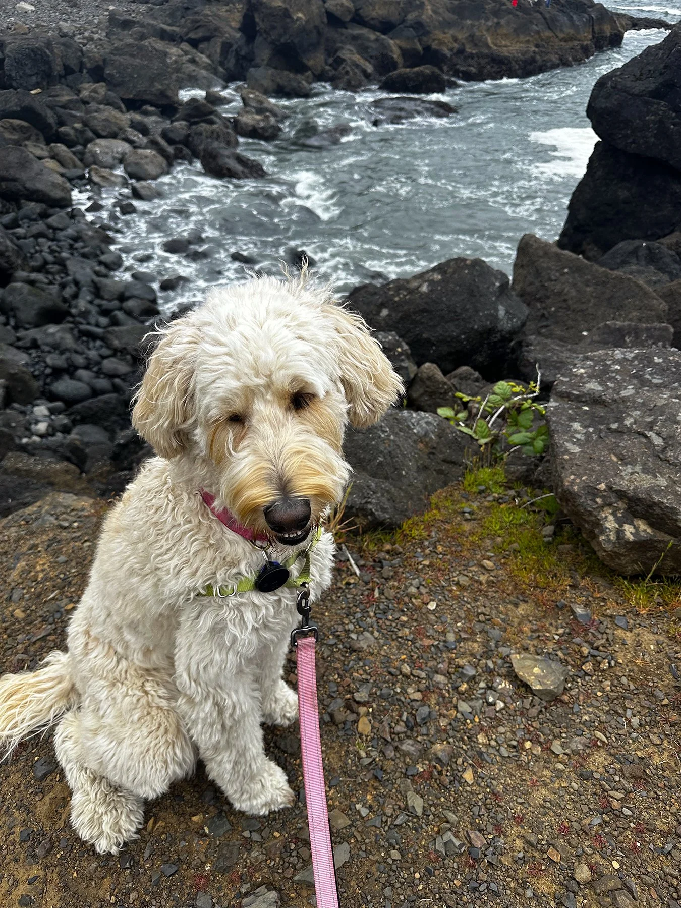
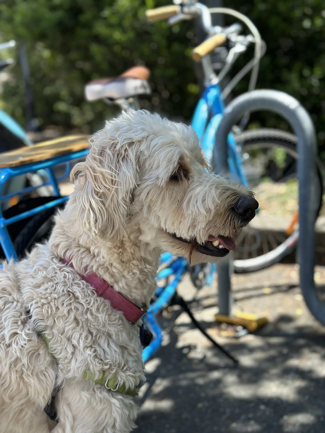
Maisie wasn’t allowed on any of the trails there, but we were able to see quite a lot from just the large parking lot up at the top. After taking in the majestic views for a while (and helping others take pictures of themselves), I noticed a graded path up a hill above where we were, and just had to get to the top to see what was promised to be 360° views. Could I leave Maisie in the car for just a bit? Fortunately, the temps were in the 50s—yes, in June!—so doing so would not be dangerous, at least. I still hate to do it, though! This trail was just a mile round trip, so I wouldn’t be gone long. And man, was it worth it! There were deer wandering around everywhere, not afraid of humans at all. How refreshing! I even spotted some fawns. Naturally, I also talked to a bunch of people along the trail. And you know what? One of the guys I met is not only from Austin, but lives very near where we did in Circle C, and we actually have a friend in common. What?! It is such a small world!


The Olympic Peninsula
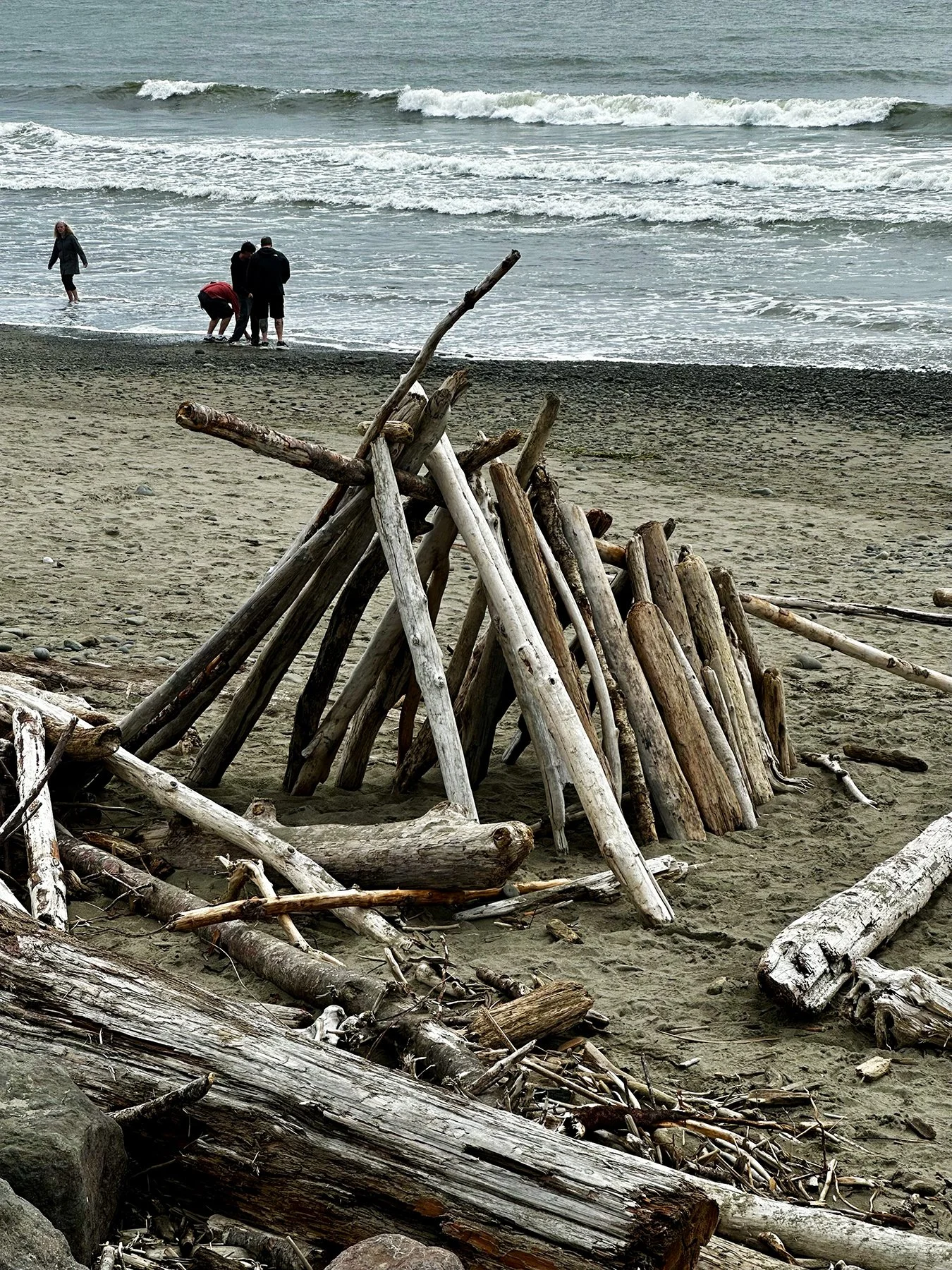
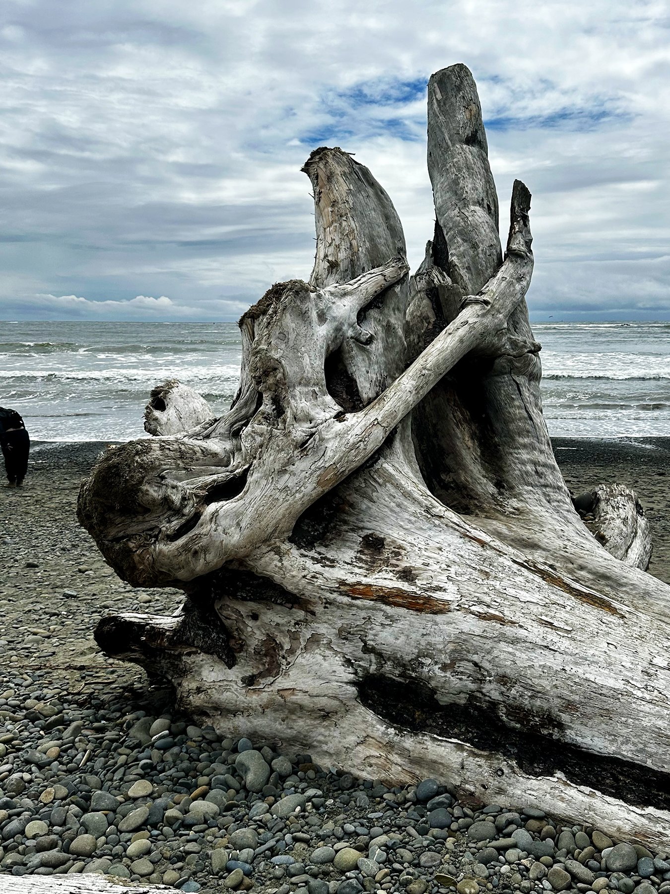
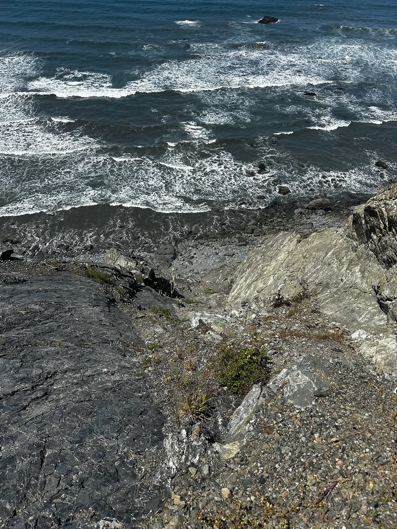
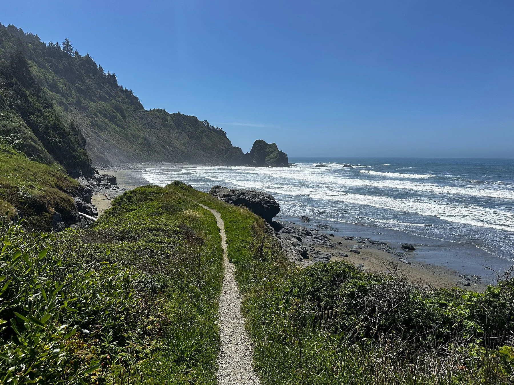
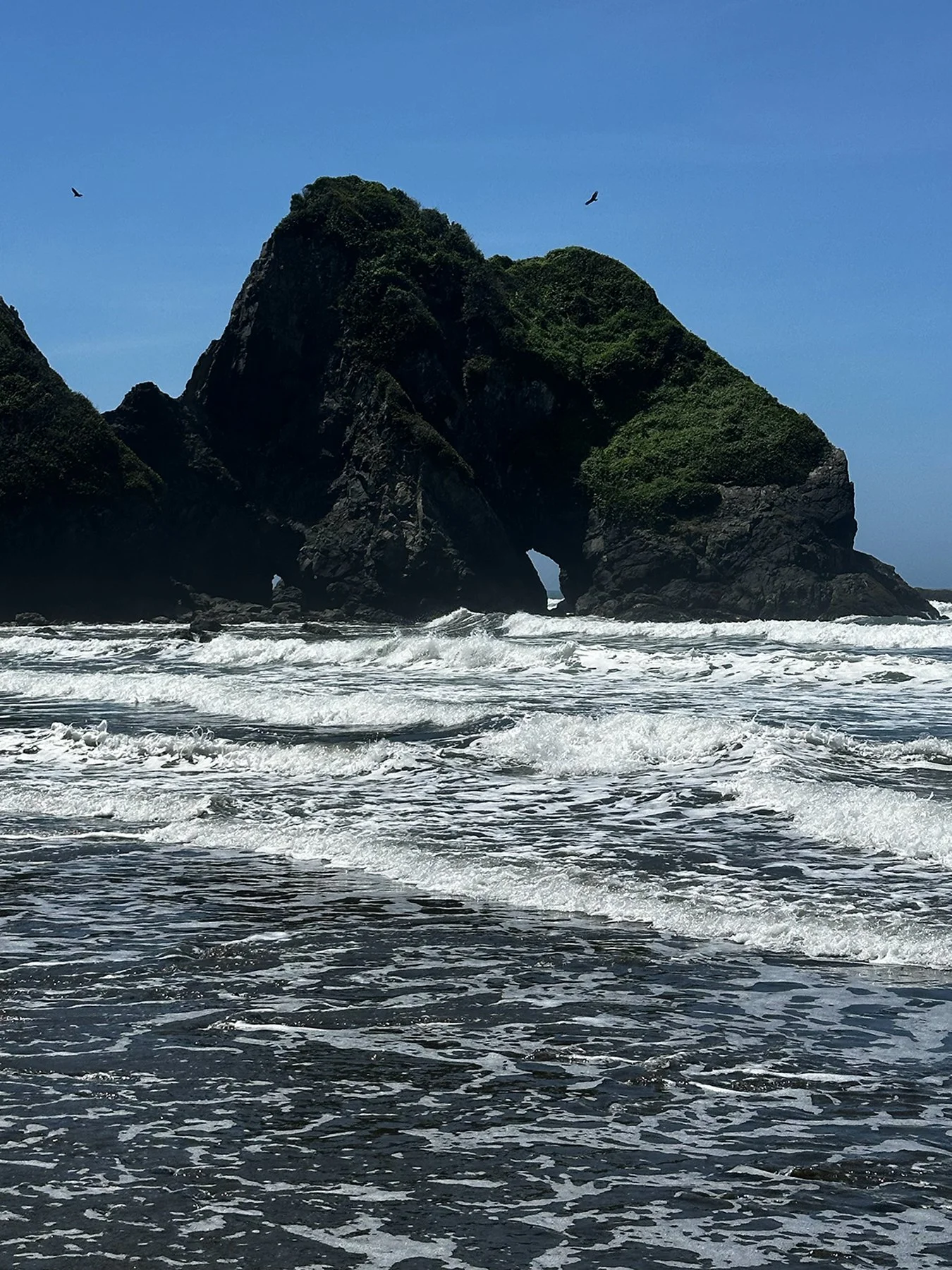
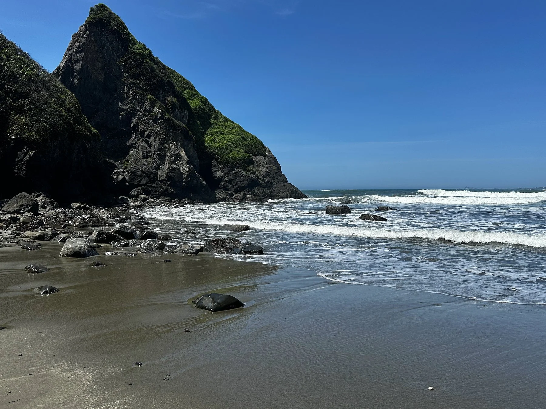
Famous for its dramatic natural contrasts, the Olympic Peninsula is a massive, ecologically diverse chunk of land in the northwestern part of Washington state. Spanning nearly a million acres and containing three distinct ecosystems—alpine mountains, lush temperate rainforests, and the rugged Pacific coastline—the peninsula is home to the Olympic Mountains (anchored by glacier-clad Mount Olympus) and temperate rainforests like the Hoh and Quinault, which are among the wettest places in the Lower 48. Quite a far cry from Texas! Stretching along the Pacific, the 70-plus-mile wild coastline features dramatic sea stacks, tide pools, and driftwood-heavy shores. All of the areas I’ll talk about below are contained in this area.
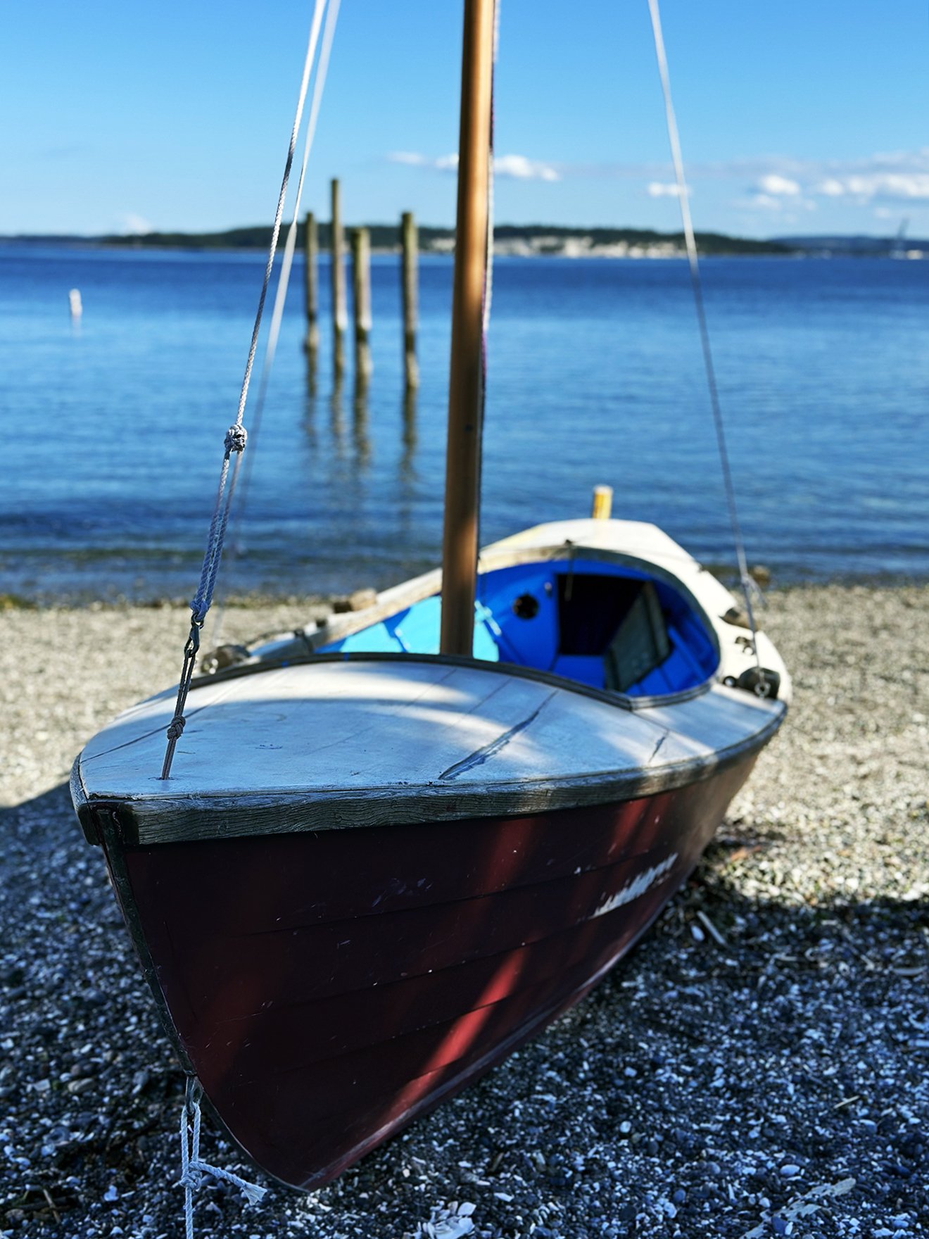
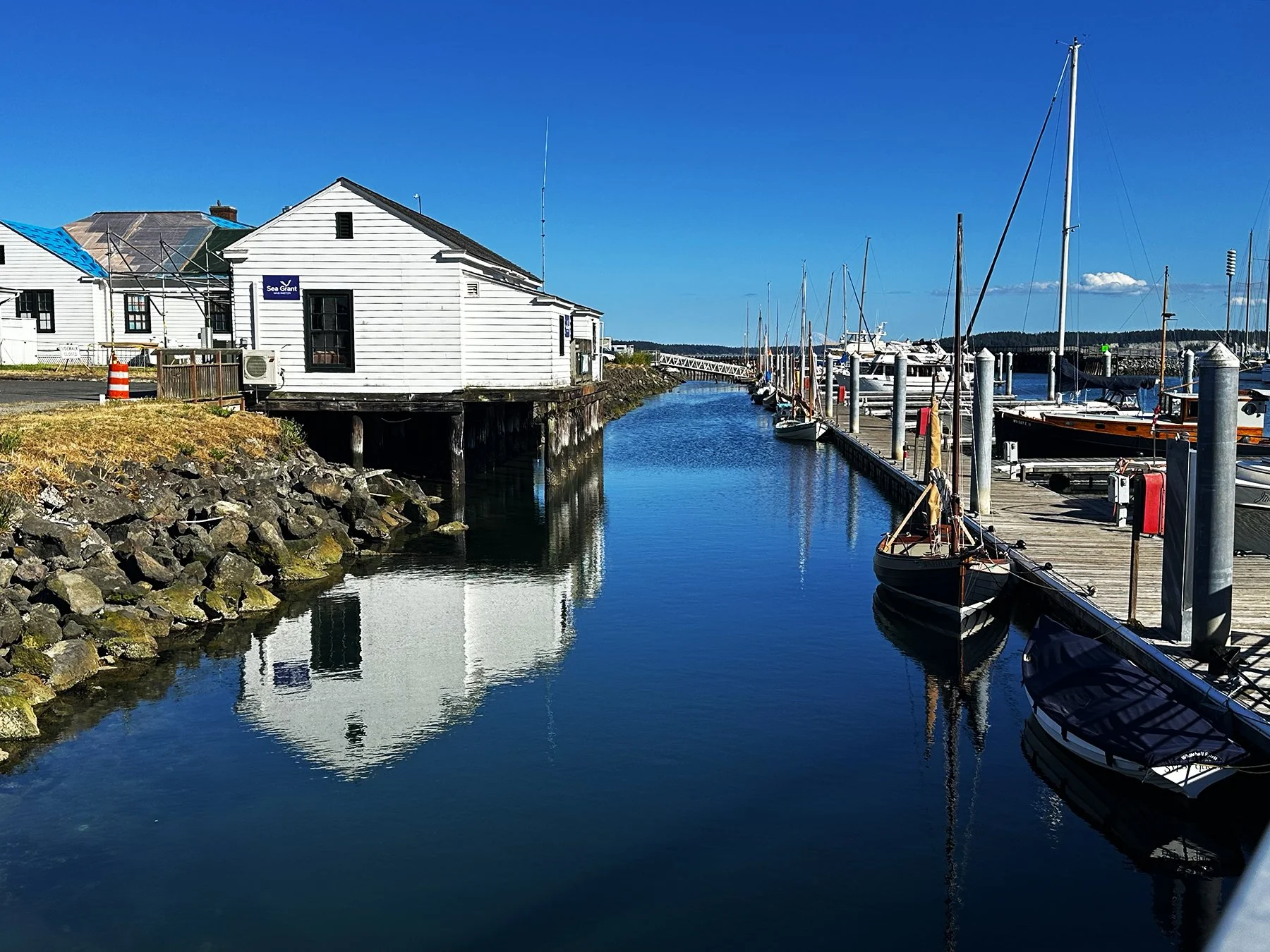
Port Angeles + Port Townsend


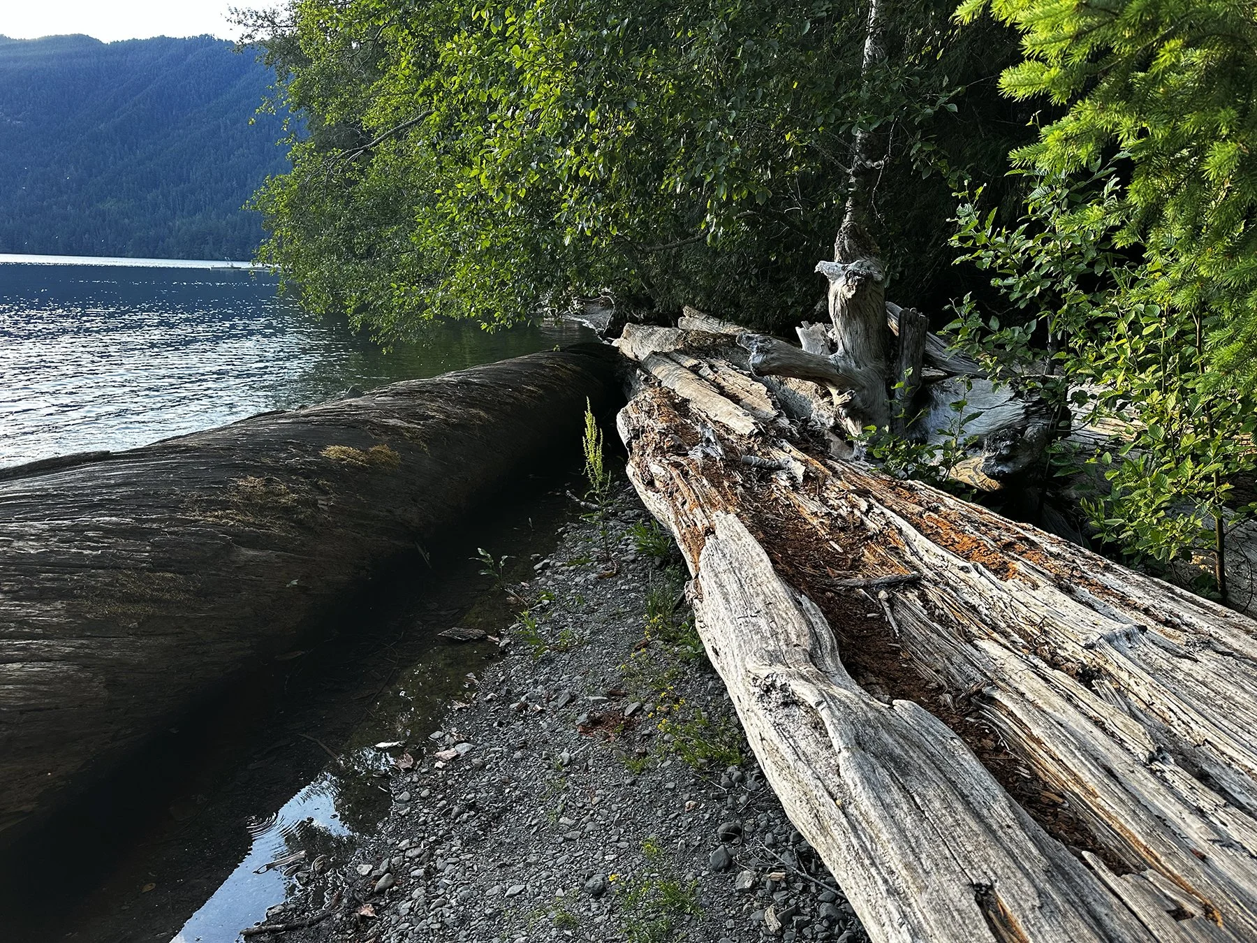
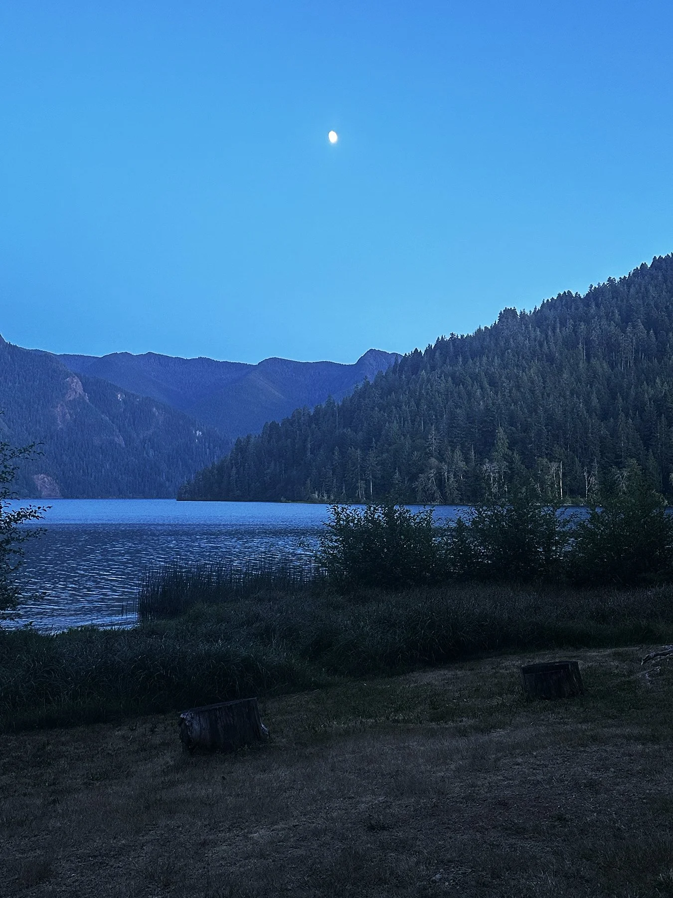
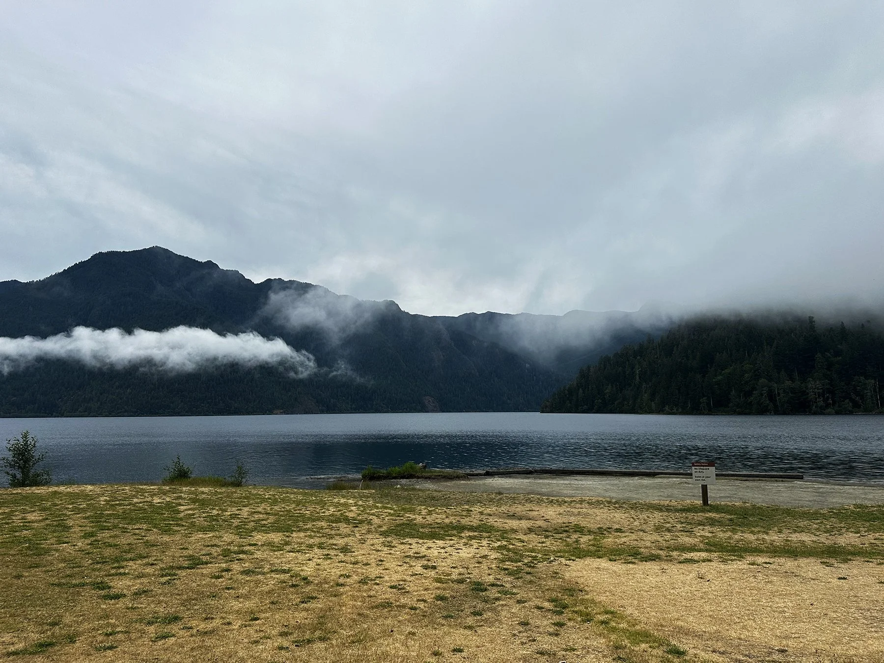
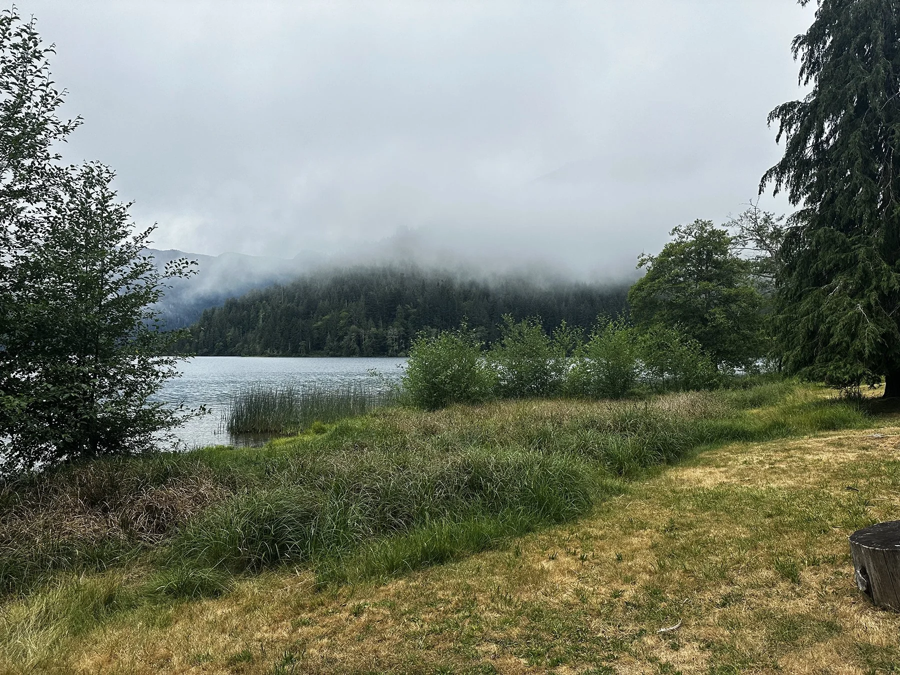
Lake Crescent
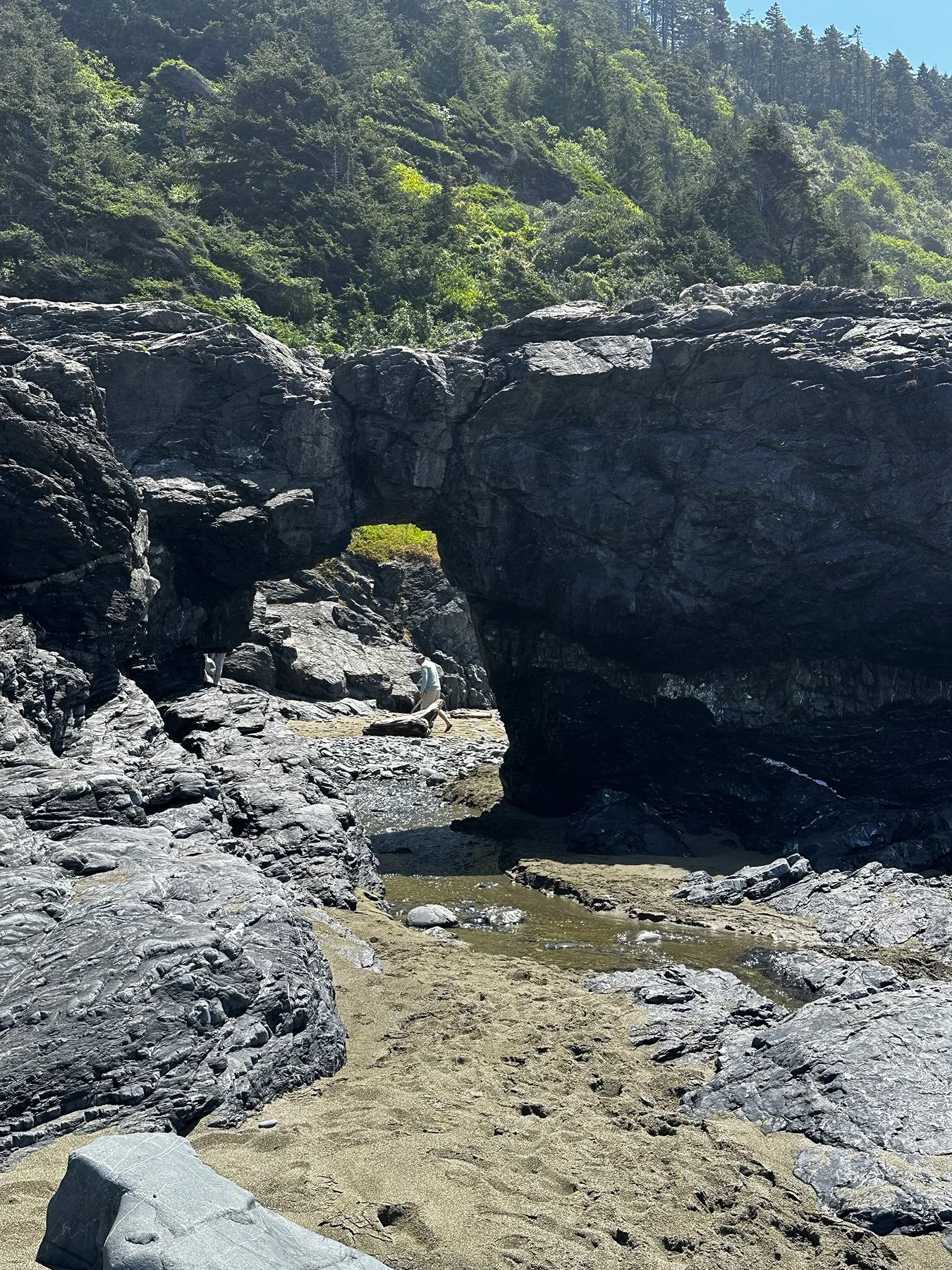
Okay, ya’ll, I found another ridiculously beautiful lake on my journey around the country! This one—Lake Crescent—I’d have to say sits in my top 3, along with Jenny Lake (Grand Teton National Park) and Lake Tahoe. Contained entirely within the Olympic National Park, the valley that holds this stunning blue lake was carved by a vast continental glacier—the ice retreated a mere 13,000 years ago, leaving a lake. Sometime after that, a series of landslides dammed the lake, raised the water level and partitioned off Lake Sutherland to the east. It is famous for its exceptionally clear, blue water and surrounding old-growth forests. It is the second-deepest lake in the state, with depths over 600 feet. I was fortunate to stay at a campground that was right on the edge of the lake. Oh, and Crescent Lake is COLD!! When it comes to getting in cold water (literally, not figuratively!), I am President of the One Inch at a Time Club. Why do I do this to myself? I wasn’t sure if it was worth risking a heart attack by jumping in all at once. Seriously, it’s cold. But people were swimming in it like it was nothing. #somedaythatwillbeme
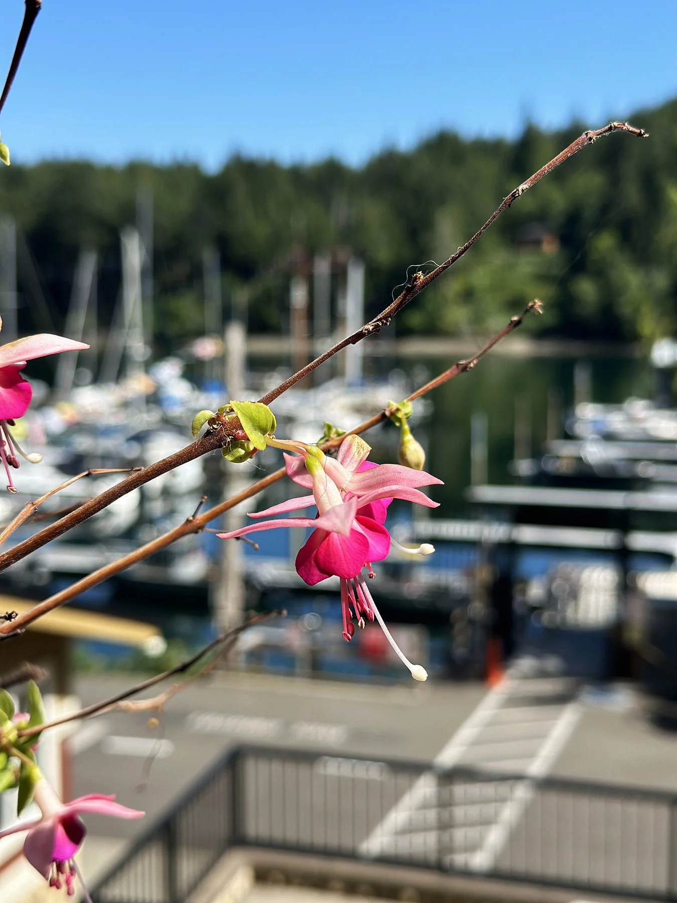
It was fantastic spending a couple of days there—hiking around the lake, exploring lovely trails through mossy forests, watching crazy teenagers jump off a rock 20 feet high into the lake at Devil’s Punch Bowl (would you?), and even walking through a long, dark tunnel on the Spruce Railroad Trail. Spooky! We also got to explore a cute little marina called “Pleasant Harbor Marina Resort”—how could I not with a name like that? It yes, it DID live up to its name :D.


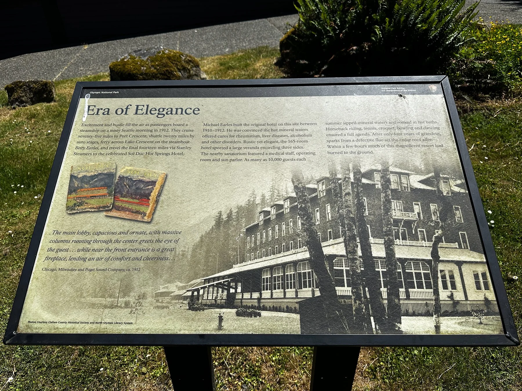
Sol Duc
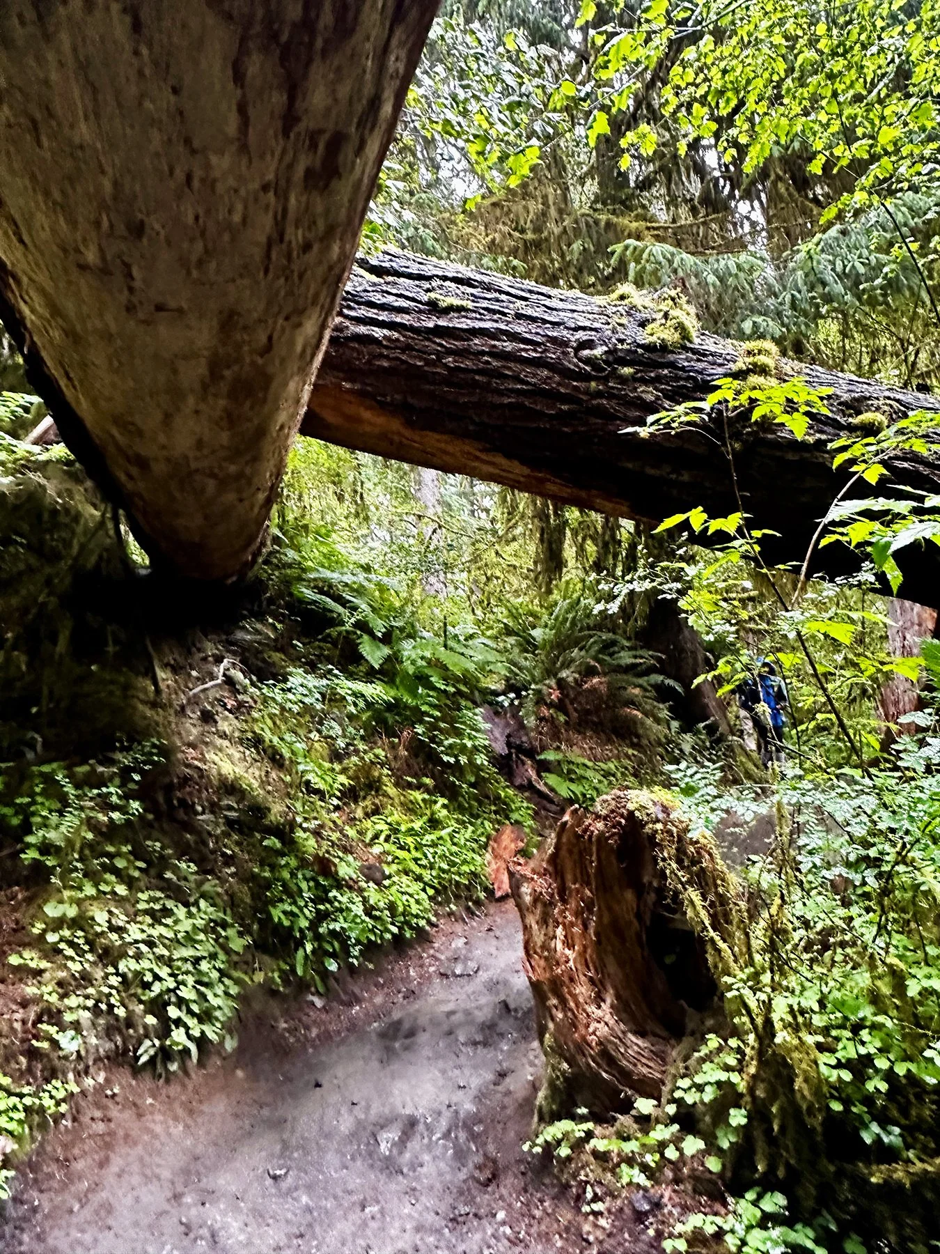
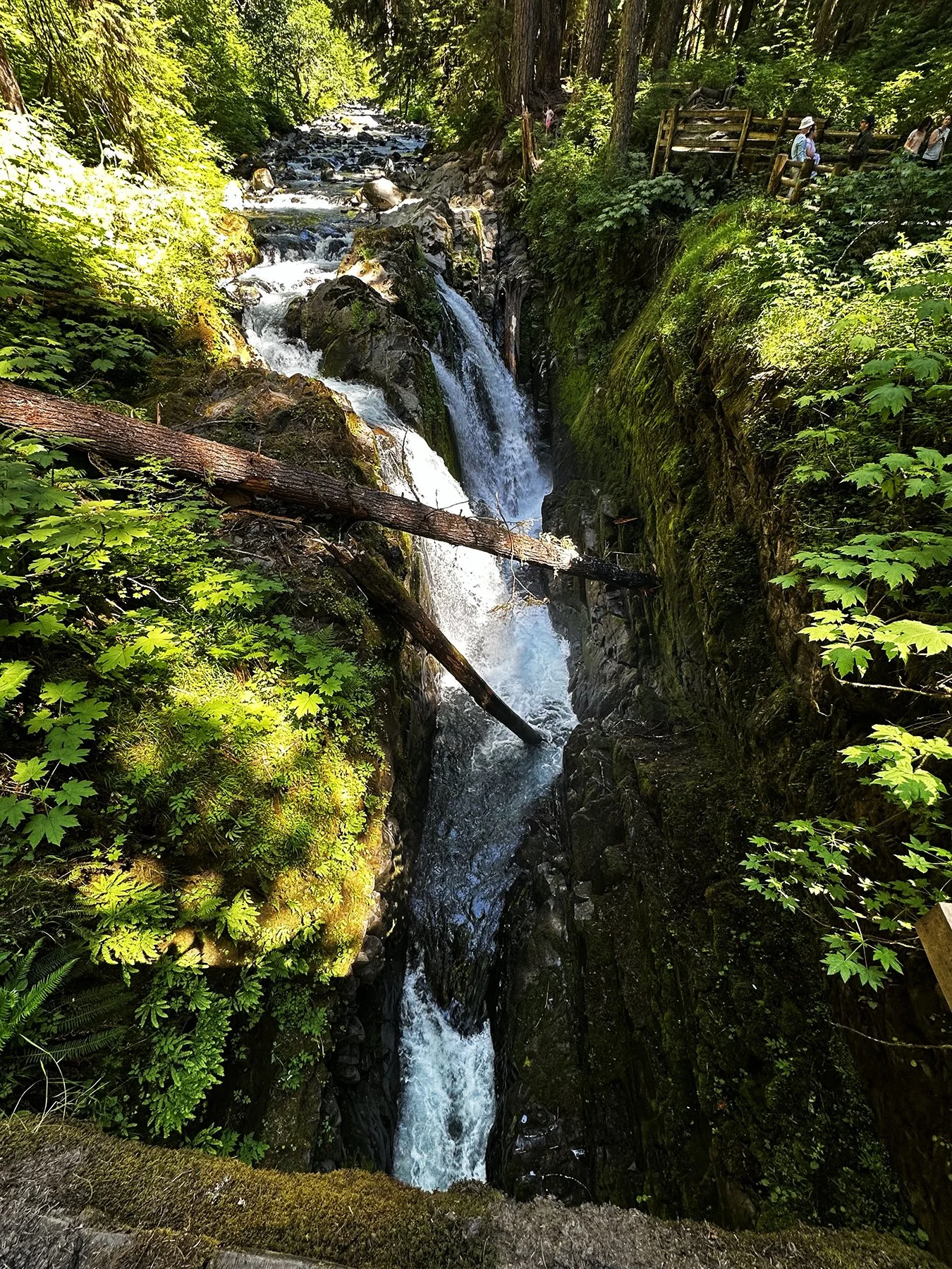
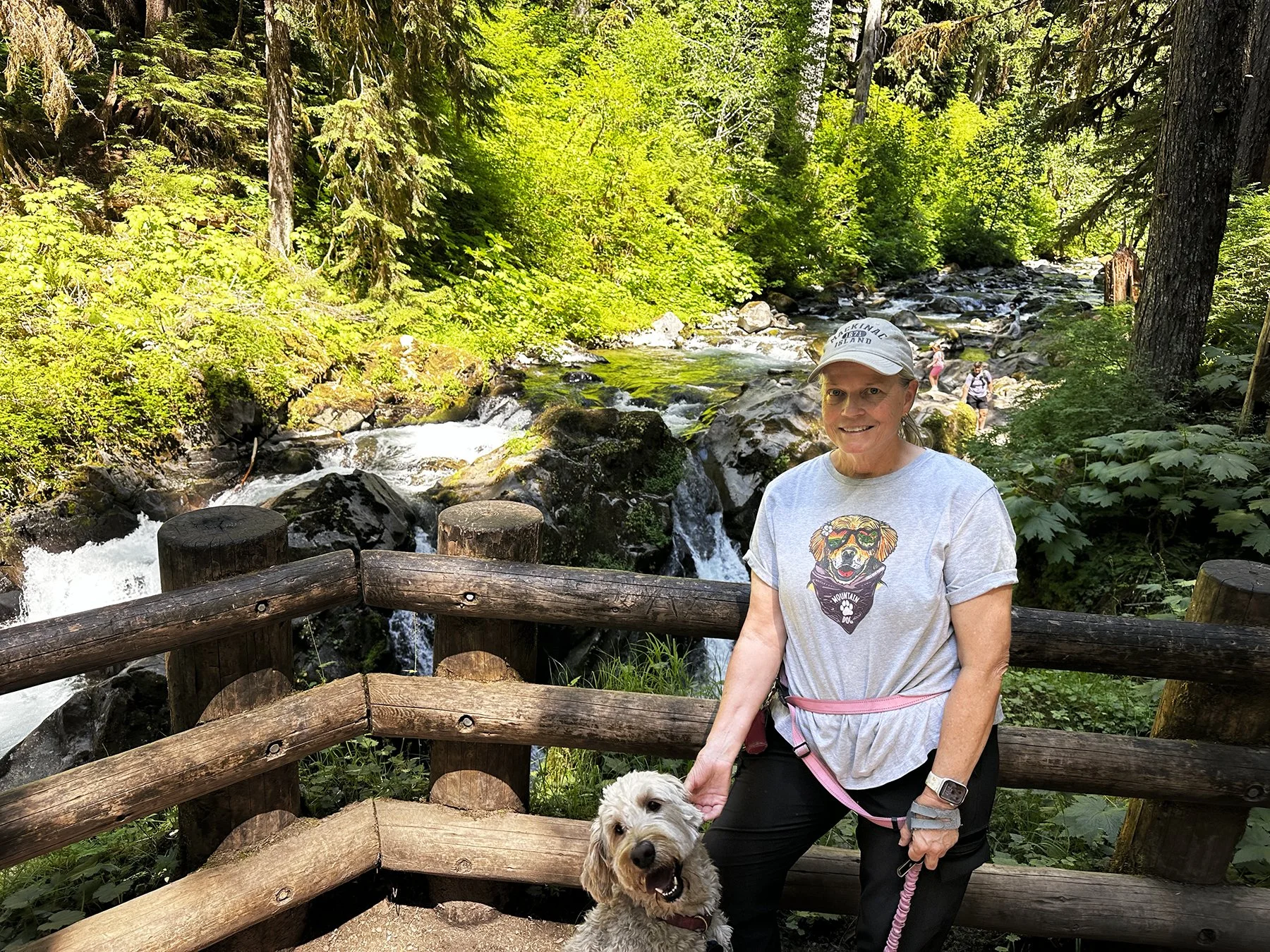
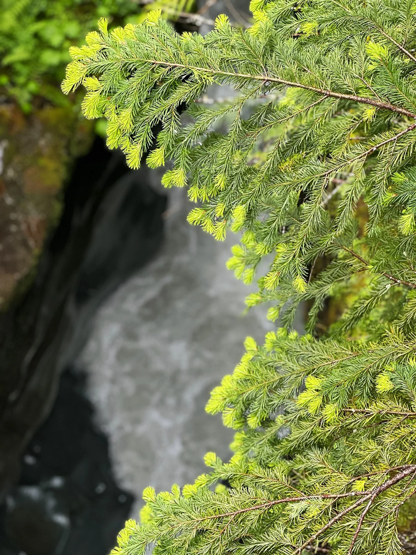
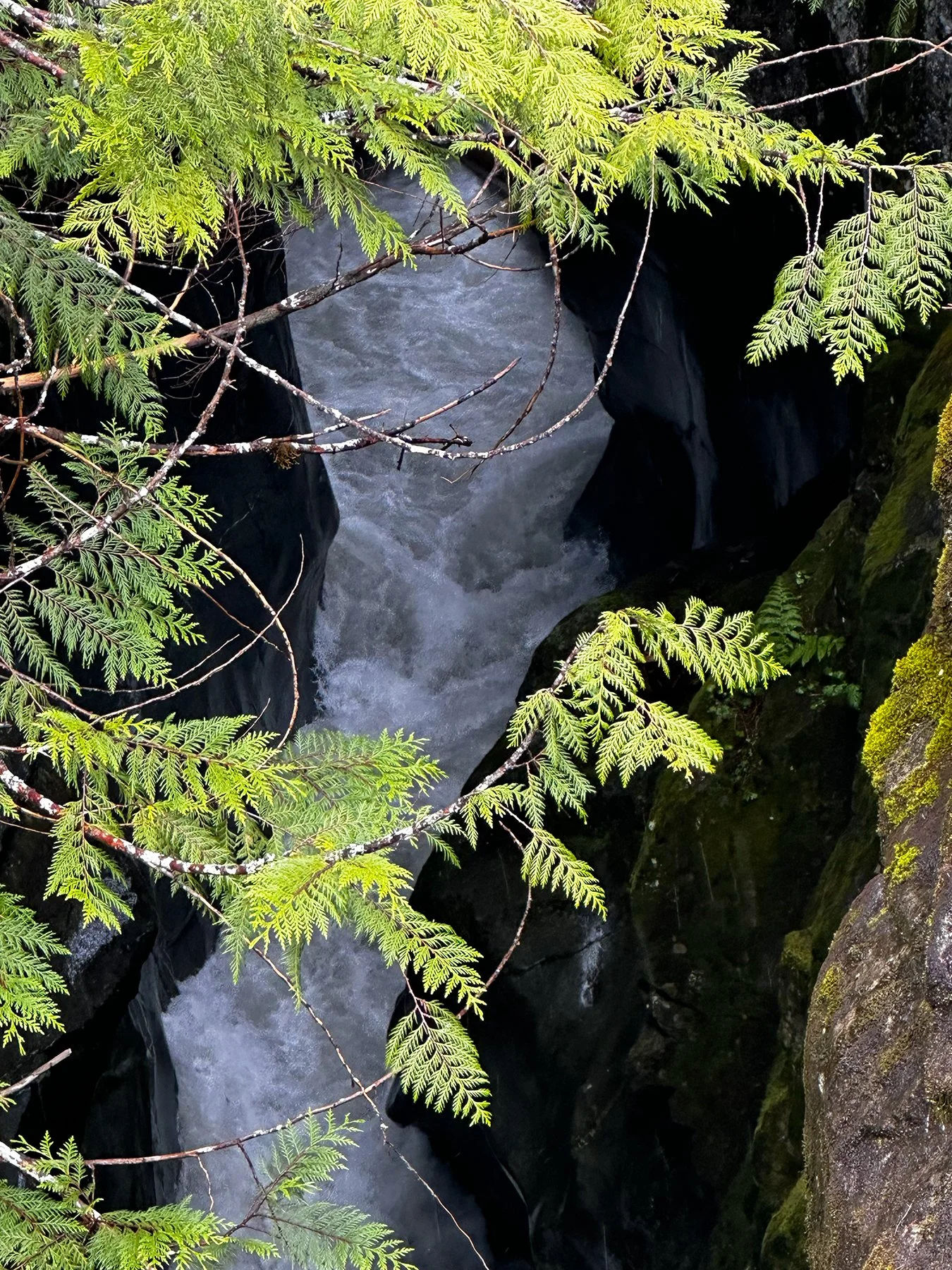
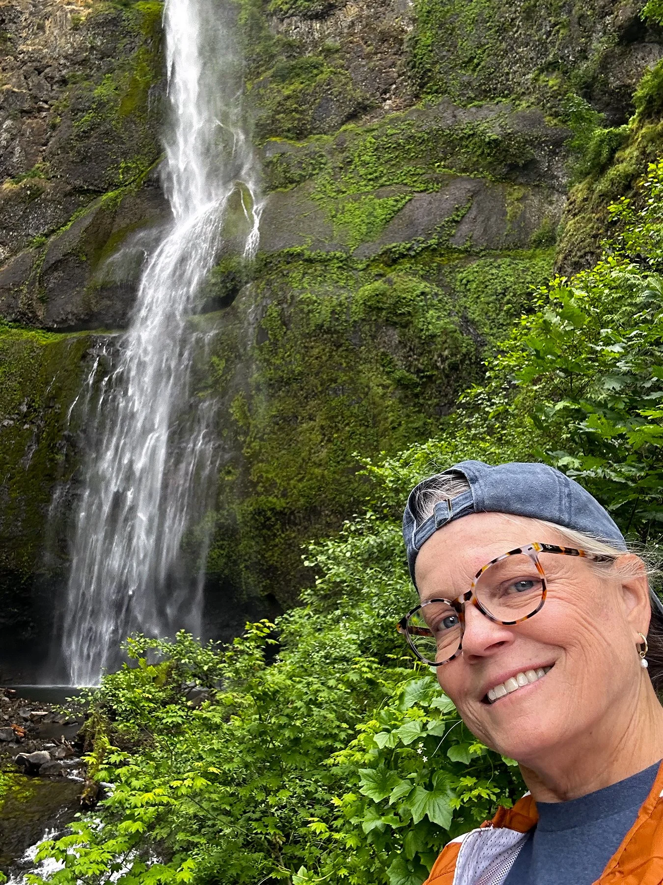
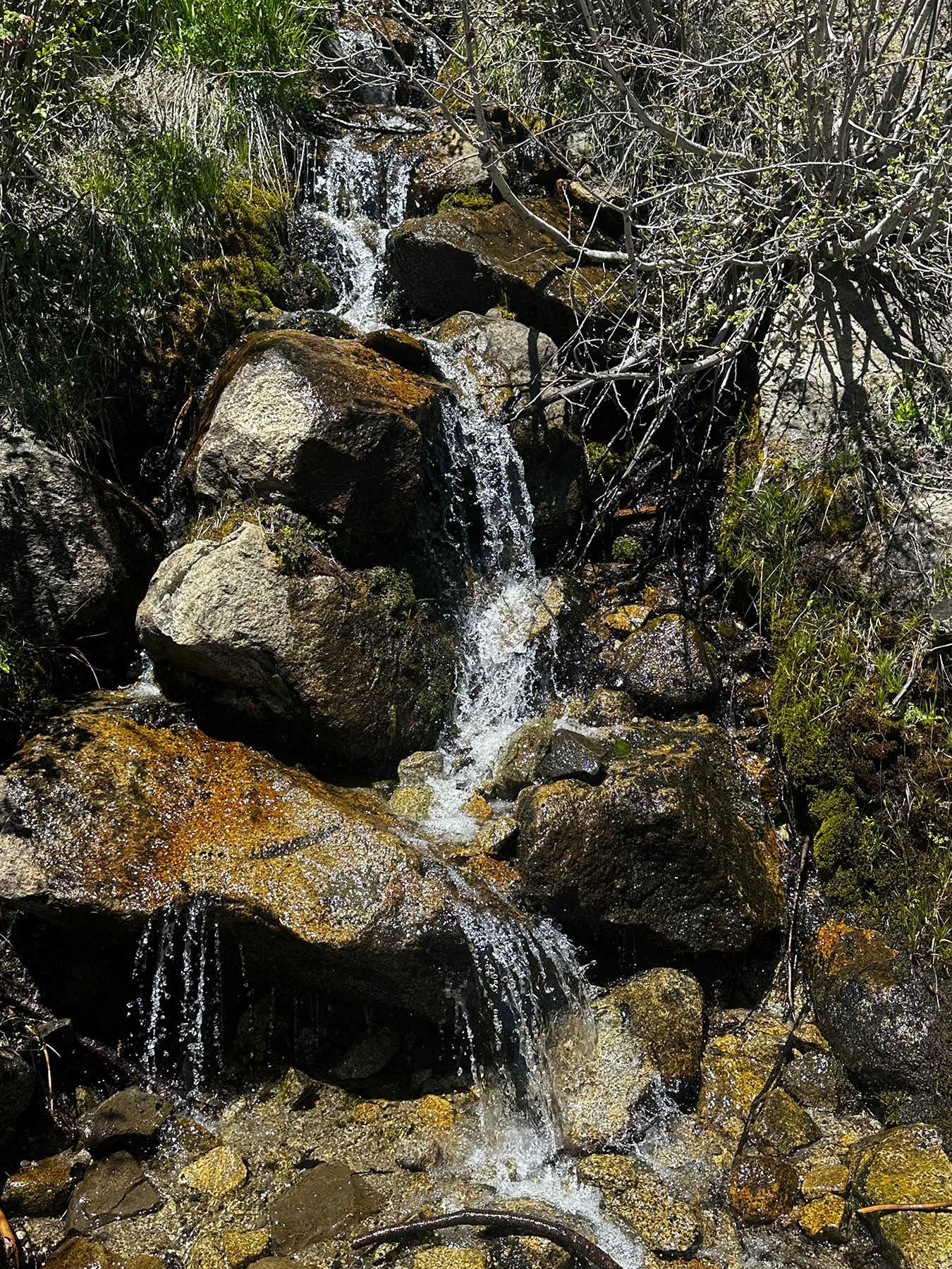
After a few days at that dream-like lake, we headed around to the west end of the park, a drive along the 101 that was another couple of hours. First, we stopped at Sol Duc Hot Springs Resort. If only we could’ve booked a room to enjoy those hot springs! Not this time. But we did go on an amazing hike to get to Sol Duc Falls. I’ve been so blessed to witness the power and beauty of waterfalls all over the country, and this one did not disappoint. In fact, it is said to be one of most iconic and highly photographed waterfalls in Olympic NP. In NPS’ words: “Fed by snowmelt from the Olympic Mountains, the Sol Duc River dramatically fractures into up to four distinct channels, plunging 40 to 50 feet into a narrow, rocky slot canyon that turns at a sharp 90-degree angle. The area is celebrated for is towering old-growth rainforest trees, dense green mosses, and vibrant ferns.” Yes, yes and yes!!!


Forks + La Push
My next campground was just outside of the small town of Forks, known mostly for just two things: (1) its abundant rainfall, making it the rainiest place in the contiguous U.S., and (2) its role as the setting for the Twilight novels and movies, which transformed it into a major tourist destination alongside its natural attractions like Olympic National Park. It is full of Twilight-themed activities, embracing its misty, magical atmosphere. I’m not into vampires, but if you are a fan of Twilight, you really must visit this town.
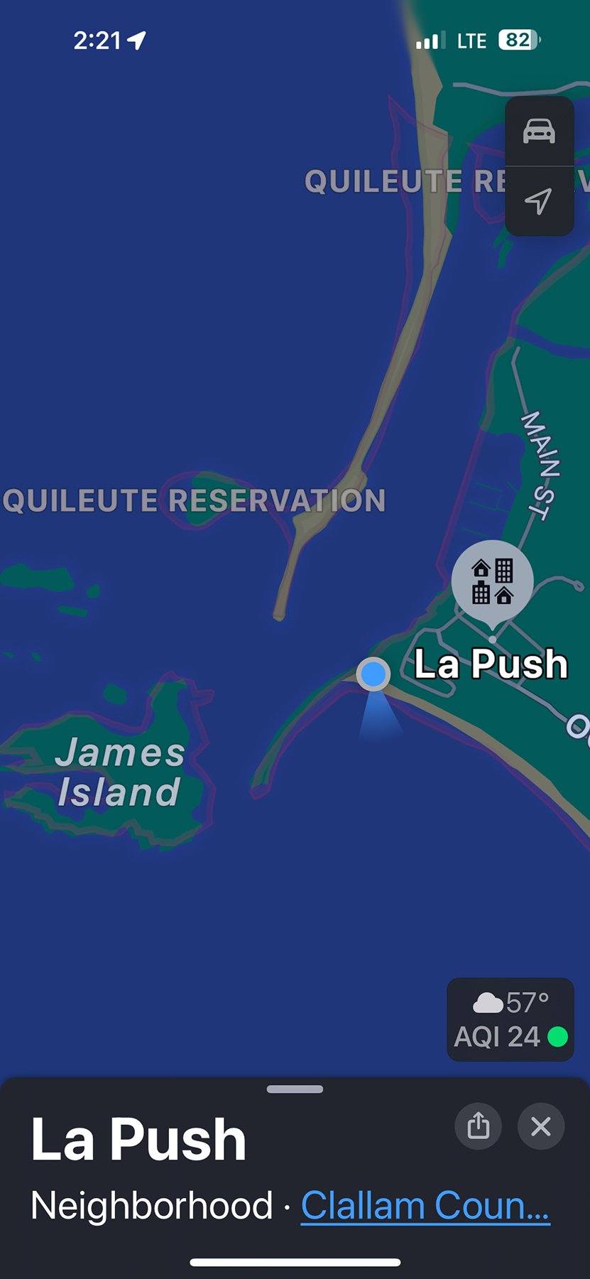
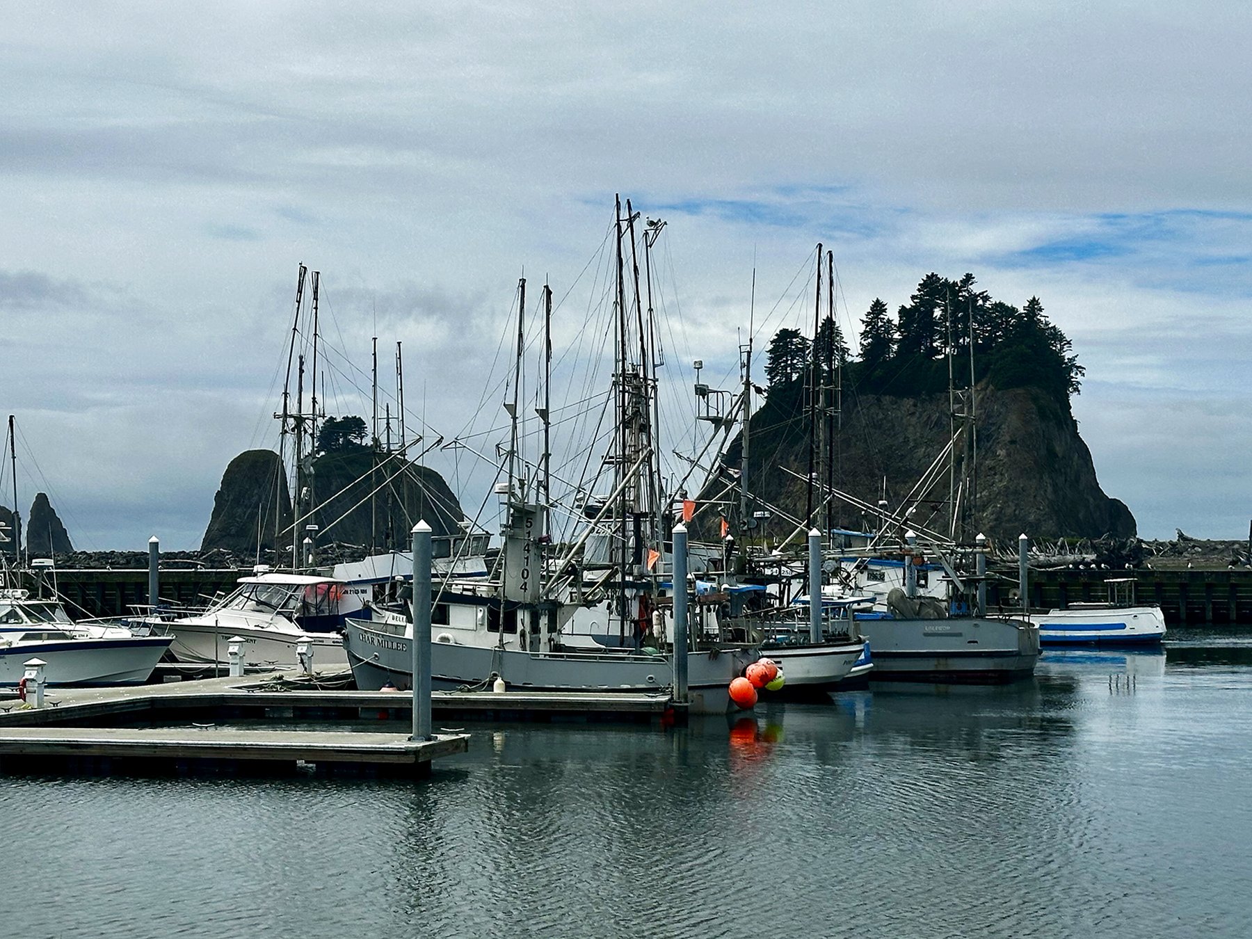
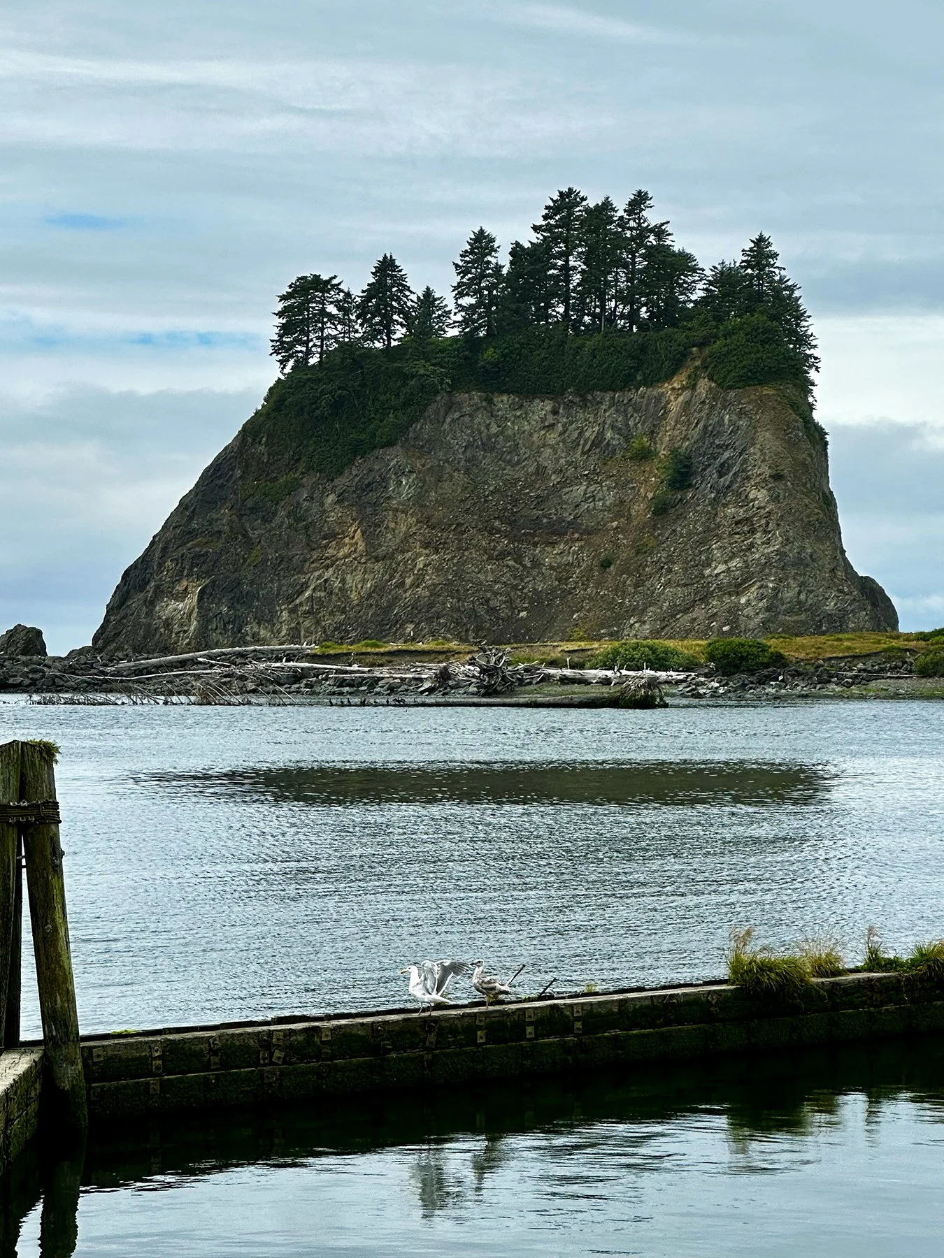
Just a short drive to the Pacific Ocean took us to the seaside village of La Push, known for its dramatic, driftwood-strewn Pacific beaches, towering sea stacks and huge waves.


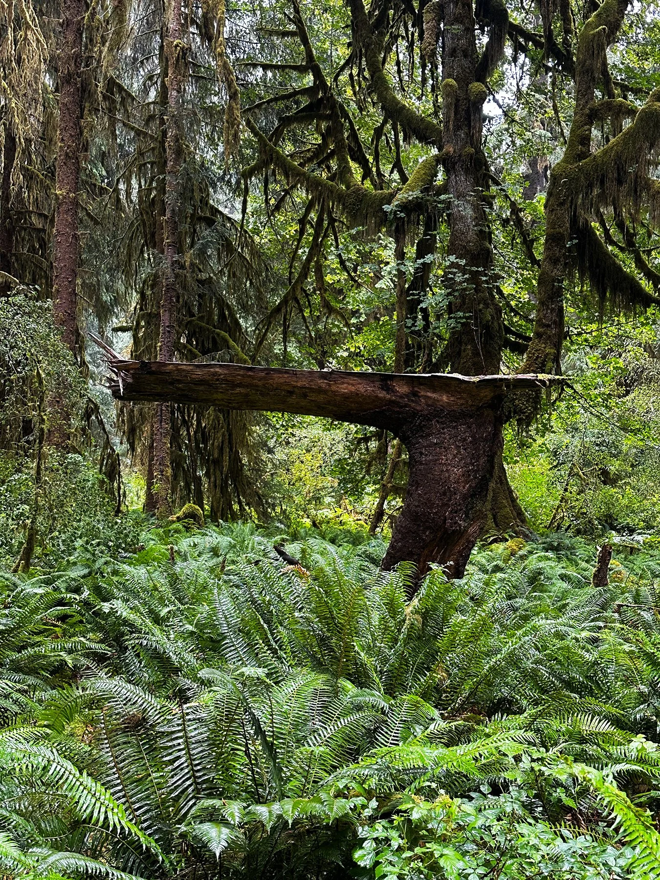
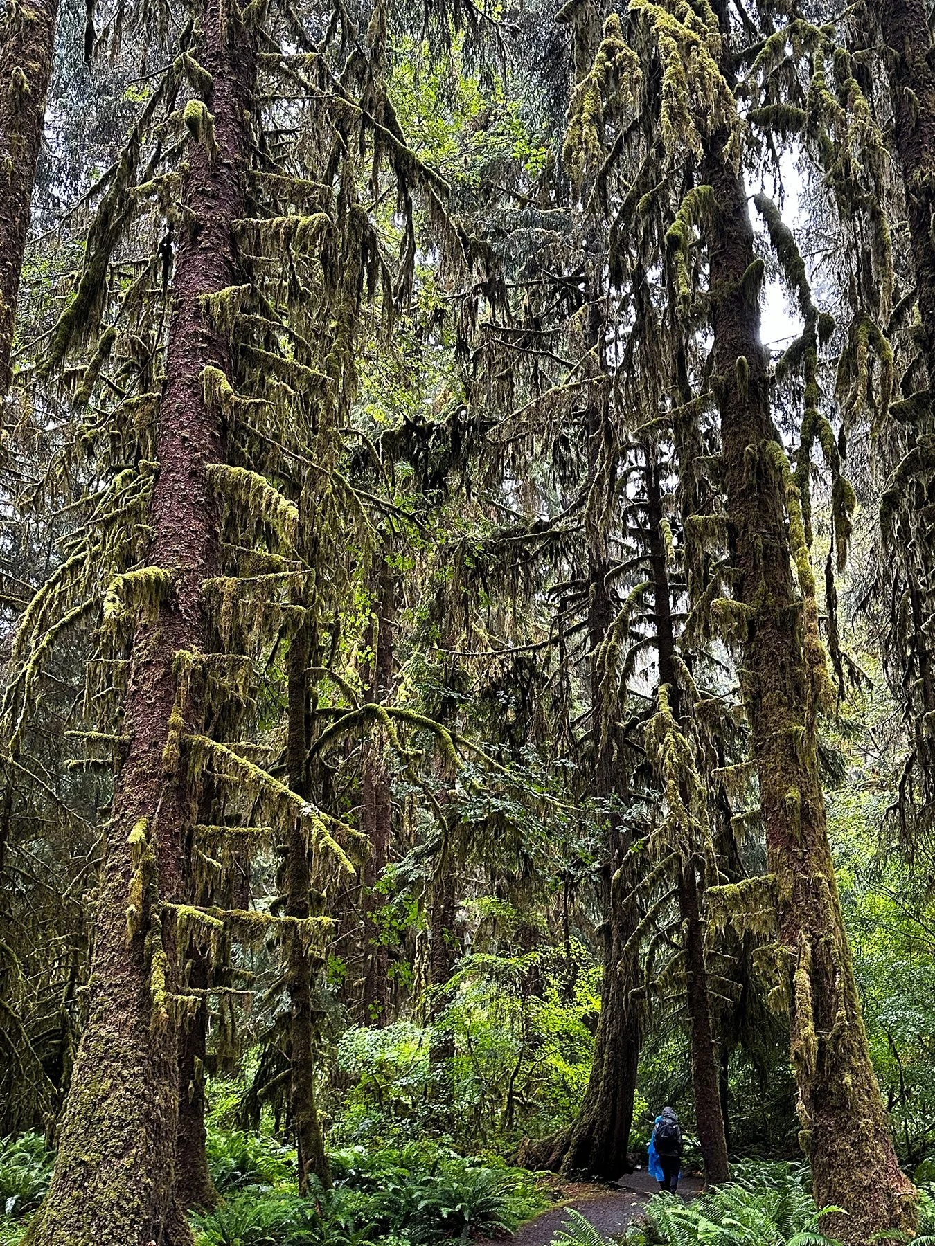
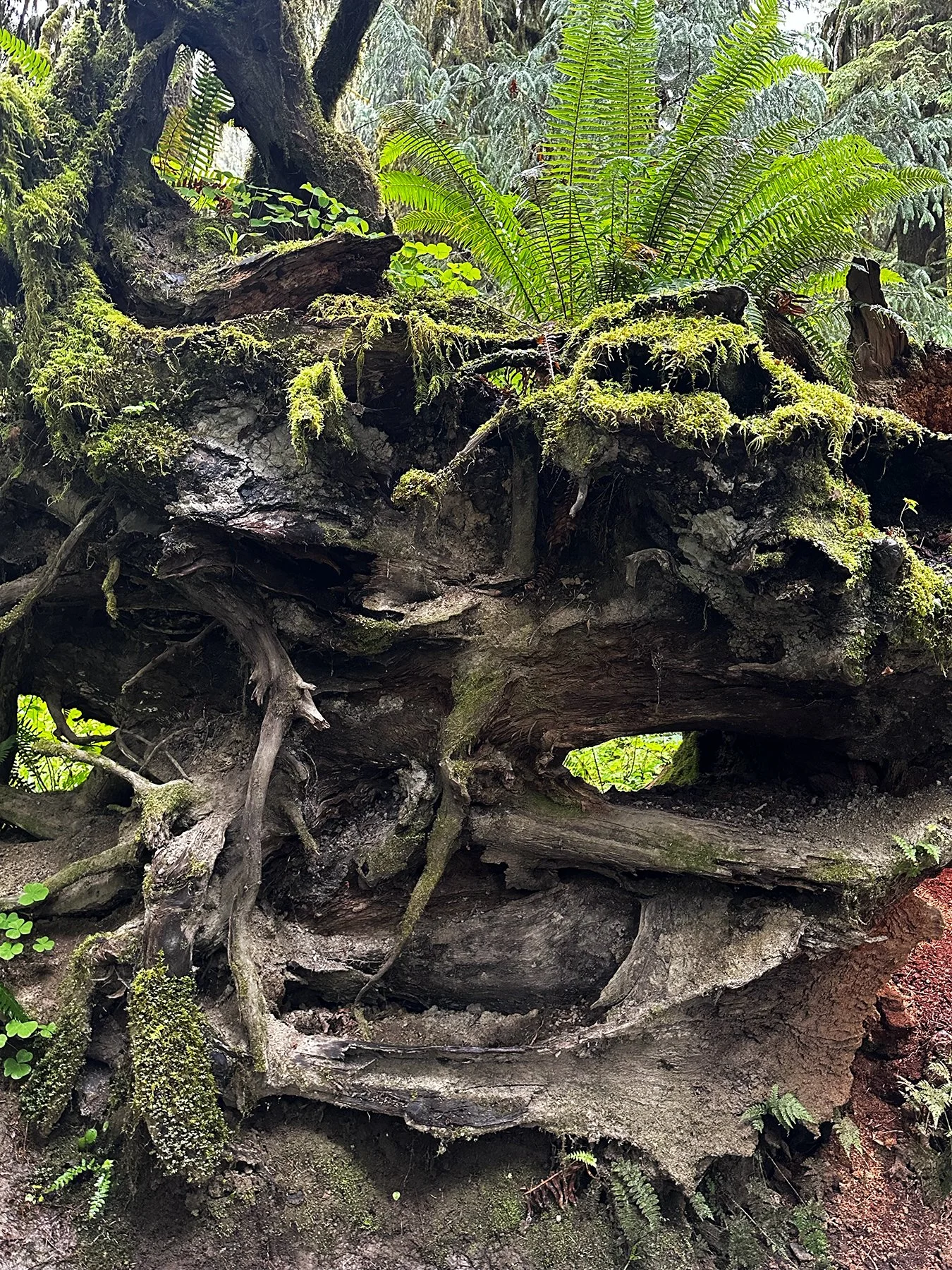
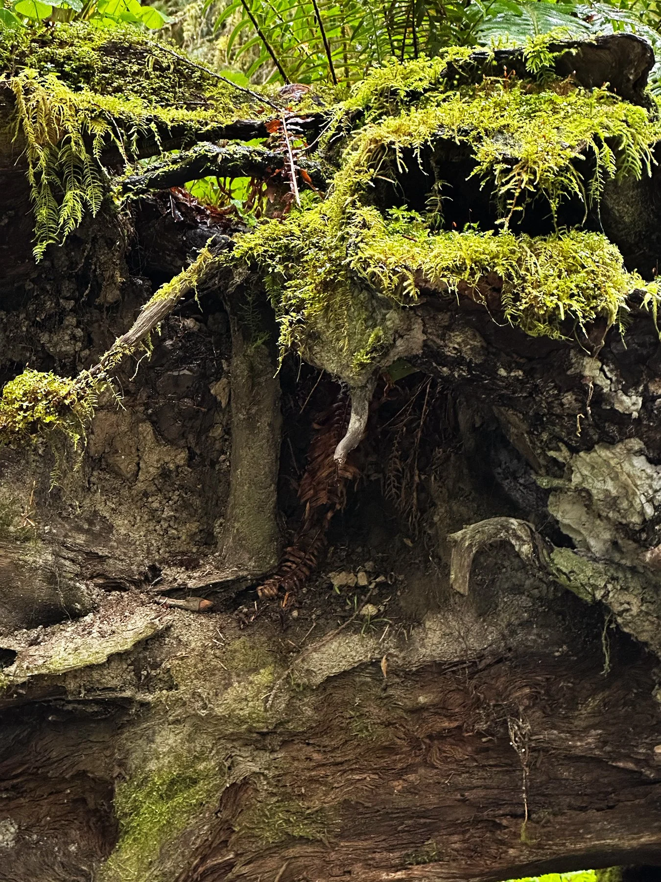
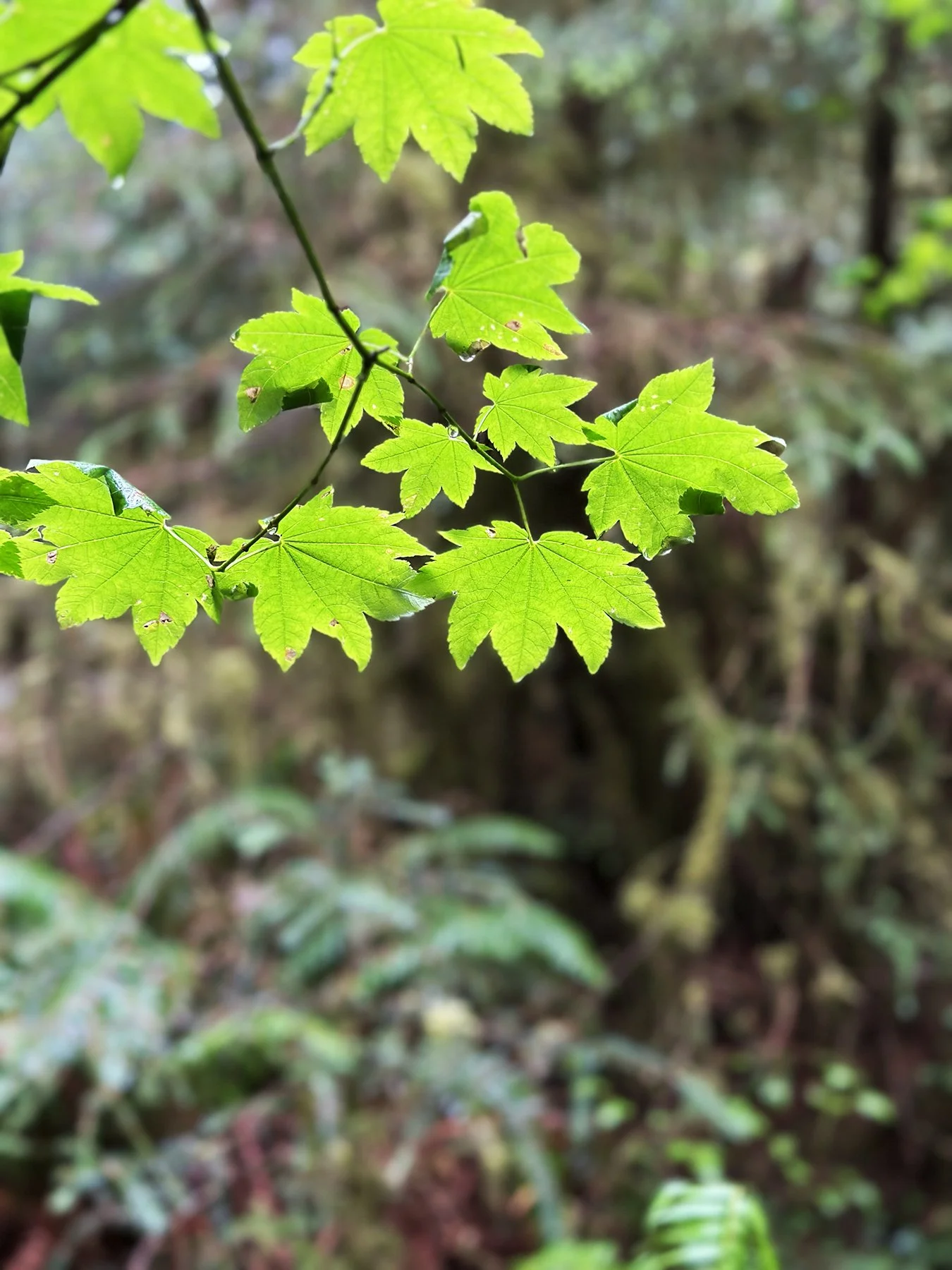
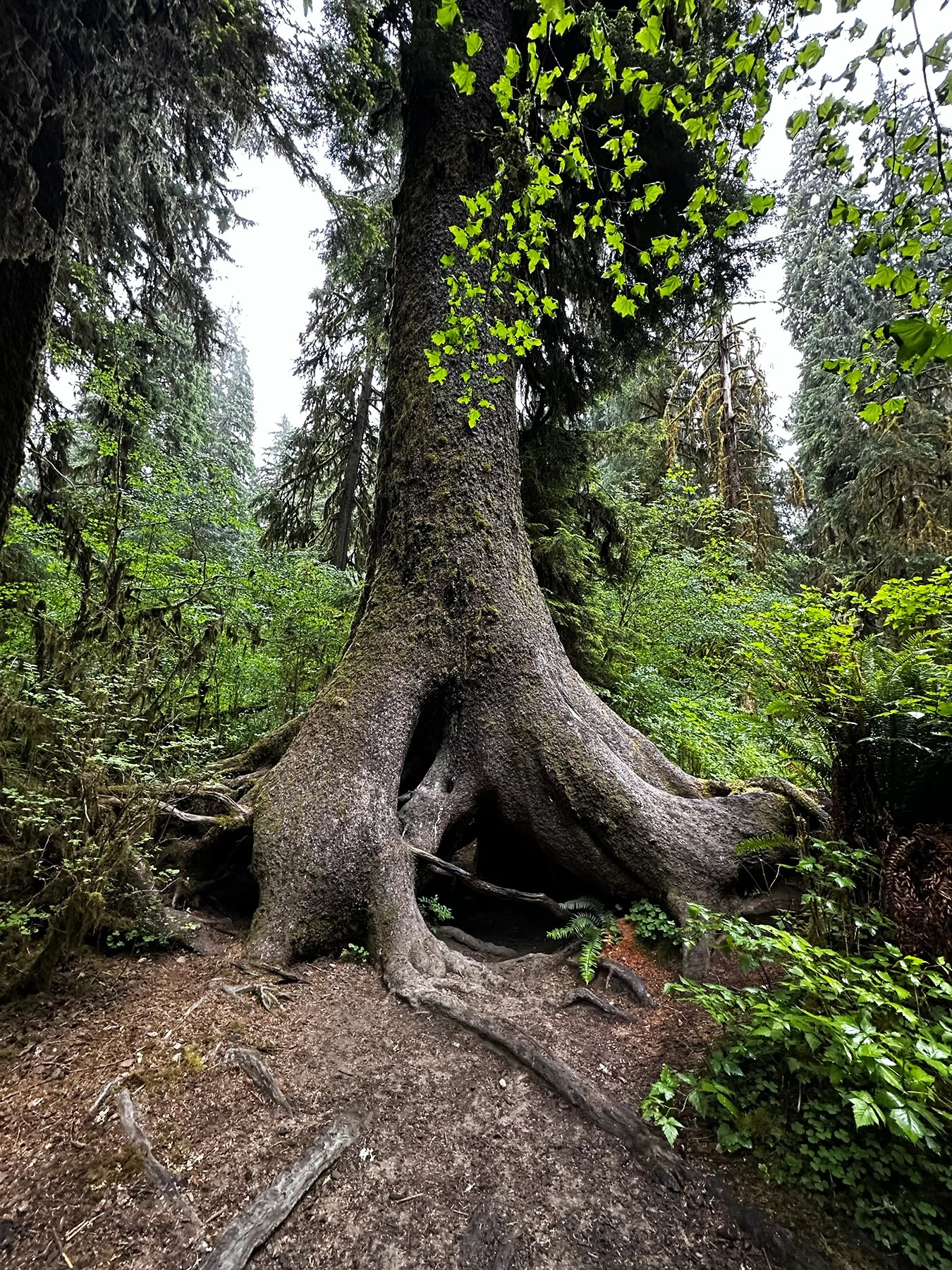
Hoh Rain Forest
Y’all, it’s a rainforest! A real rainforest! Haha.
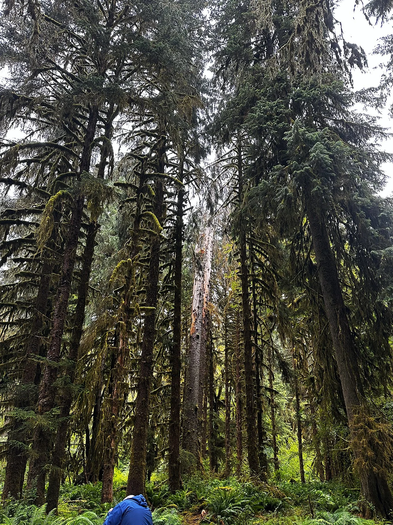
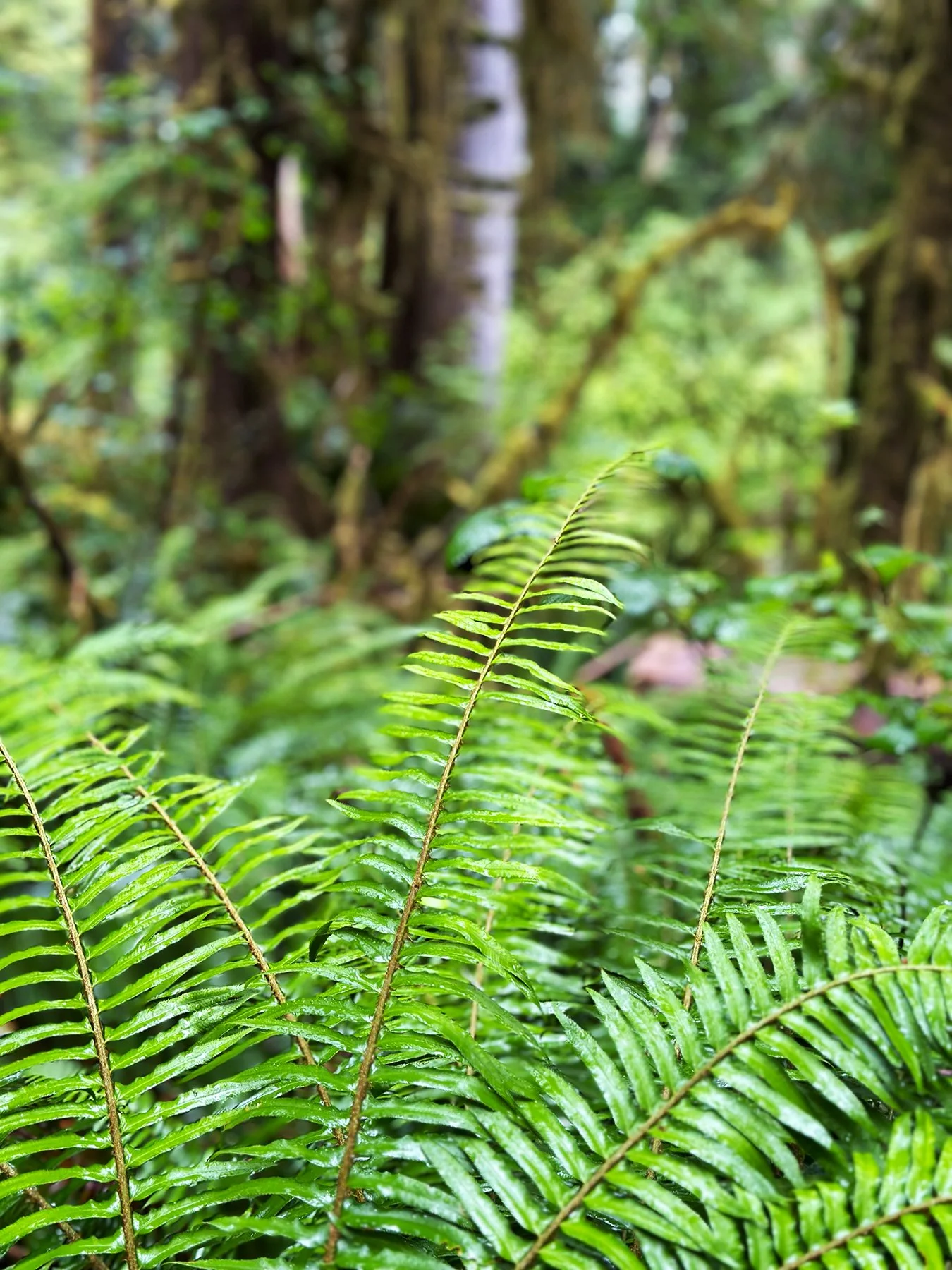
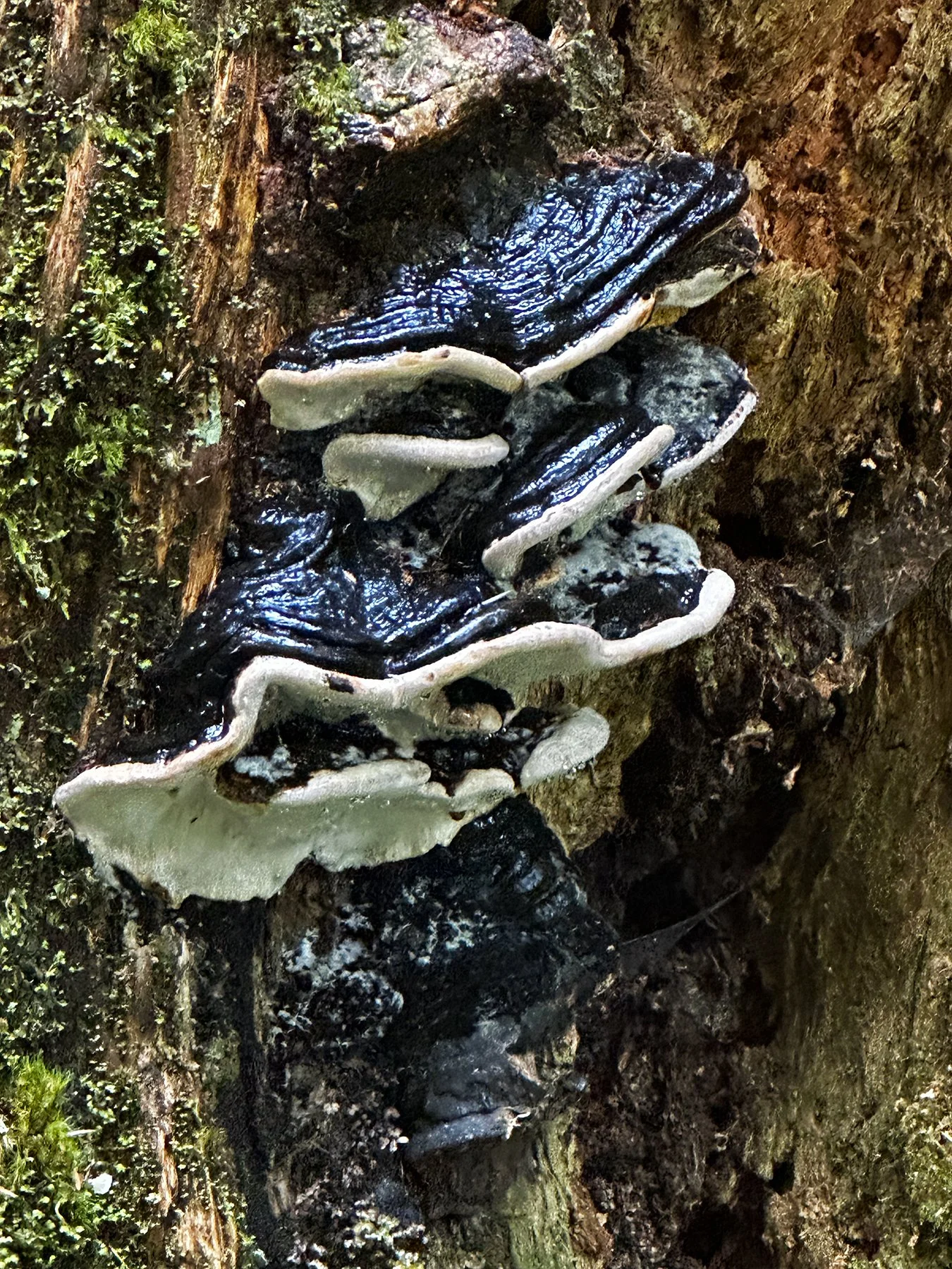
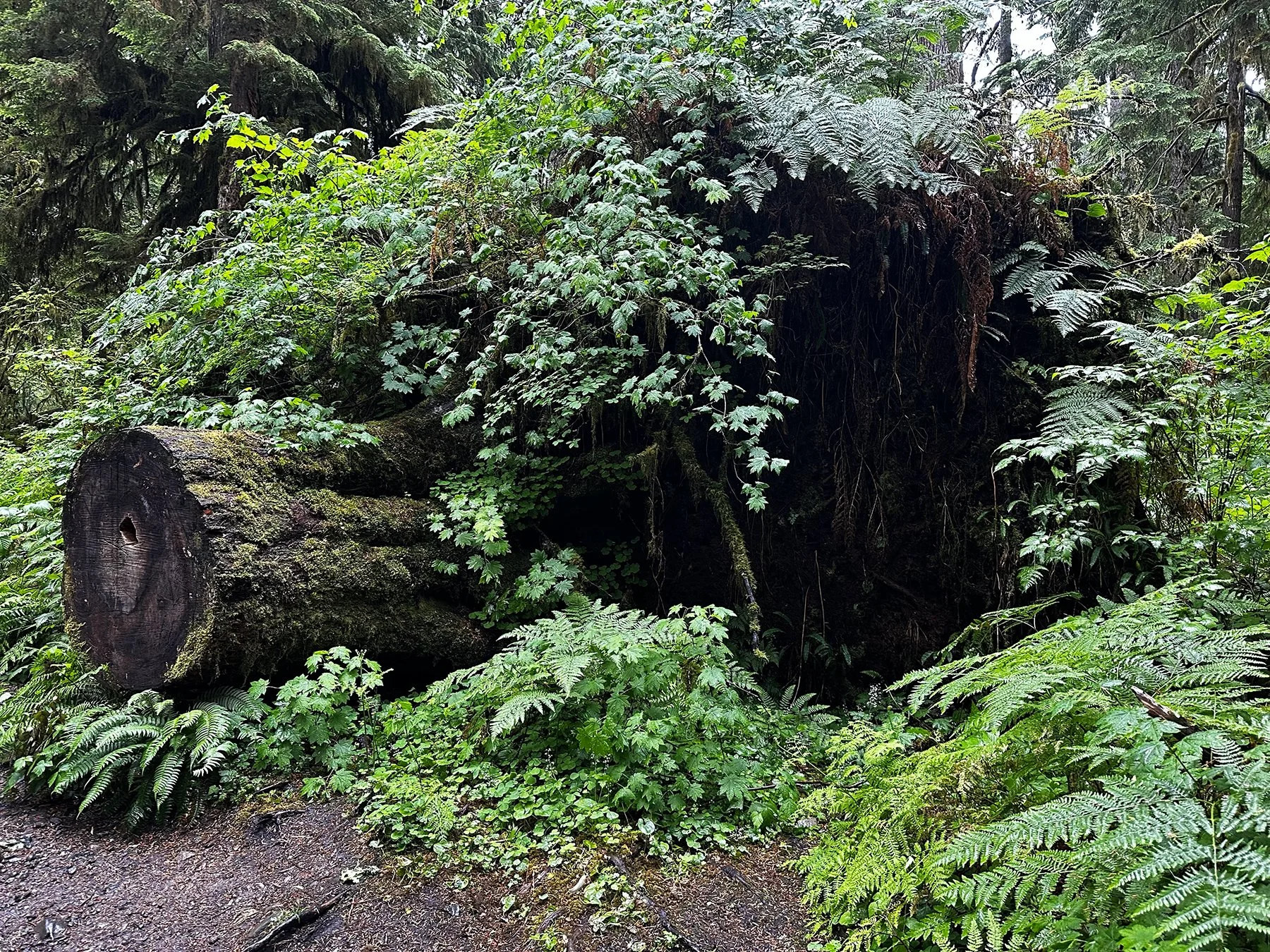
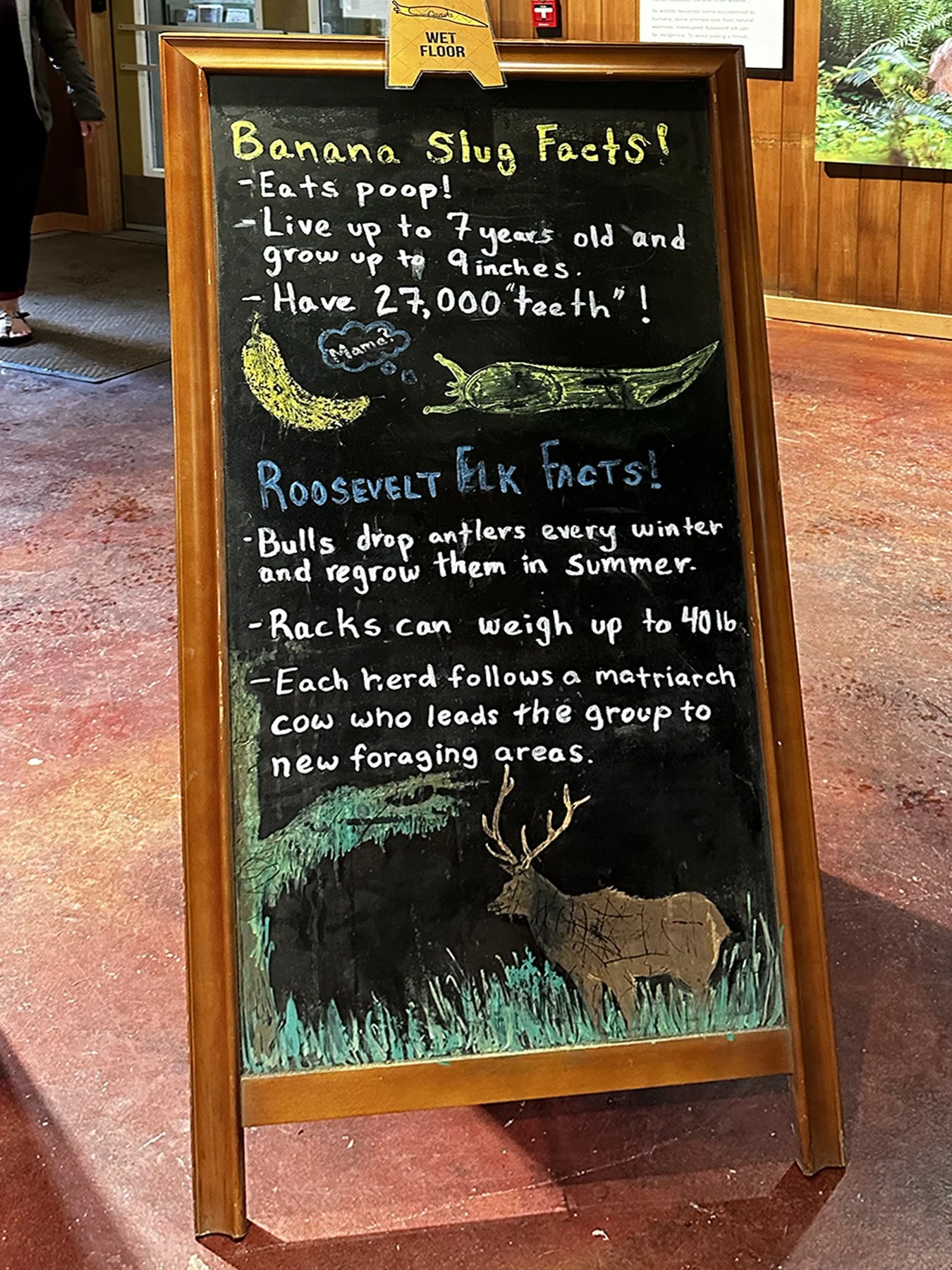
Can you tell I’ve lived half my life in Texas, where we don’t usually get a ton of rain? ;D The Hoh Rain Forest is one of the largest and most pristine remaining temperate rainforests in the U.S., characterized by massive Sitka spruce, western hemlock, and ferns, creating a magical, misty environment. Known for its lush, moss-draped old-growth trees, vibrant green ecosystem, and abundant rainfall—12-to-14 feet a year! That’s FEET, people, not inches!—it certainly was a wonder to behold. Olympic NP also protects the largest unmanaged herd of Roosevelt elk in its natural environment. With Roosevelt elk hunted to near extinction in the early 1900s, one of the mandates for the establishment of the park in 1938 was to “…provide suitable winter range and permanent protection for the herds of native Roosevelt elk and other wildlife…” And we were lucky enough to see a herd up close—but from the safety of our truck (they are big, and I hear they can be mean!). Maisie went a little nuts in the back seat when we came up on them (whining to go play, or chase, or I don’t know what!).
Again, she was not allowed on the trail, but didn’t seem to be too upset waiting in the truck on another cold, rainy day in the PNW, so off I went on the 1-mile RT Hall of Mosses trail. BEE-UUU-TI-FULLLL!


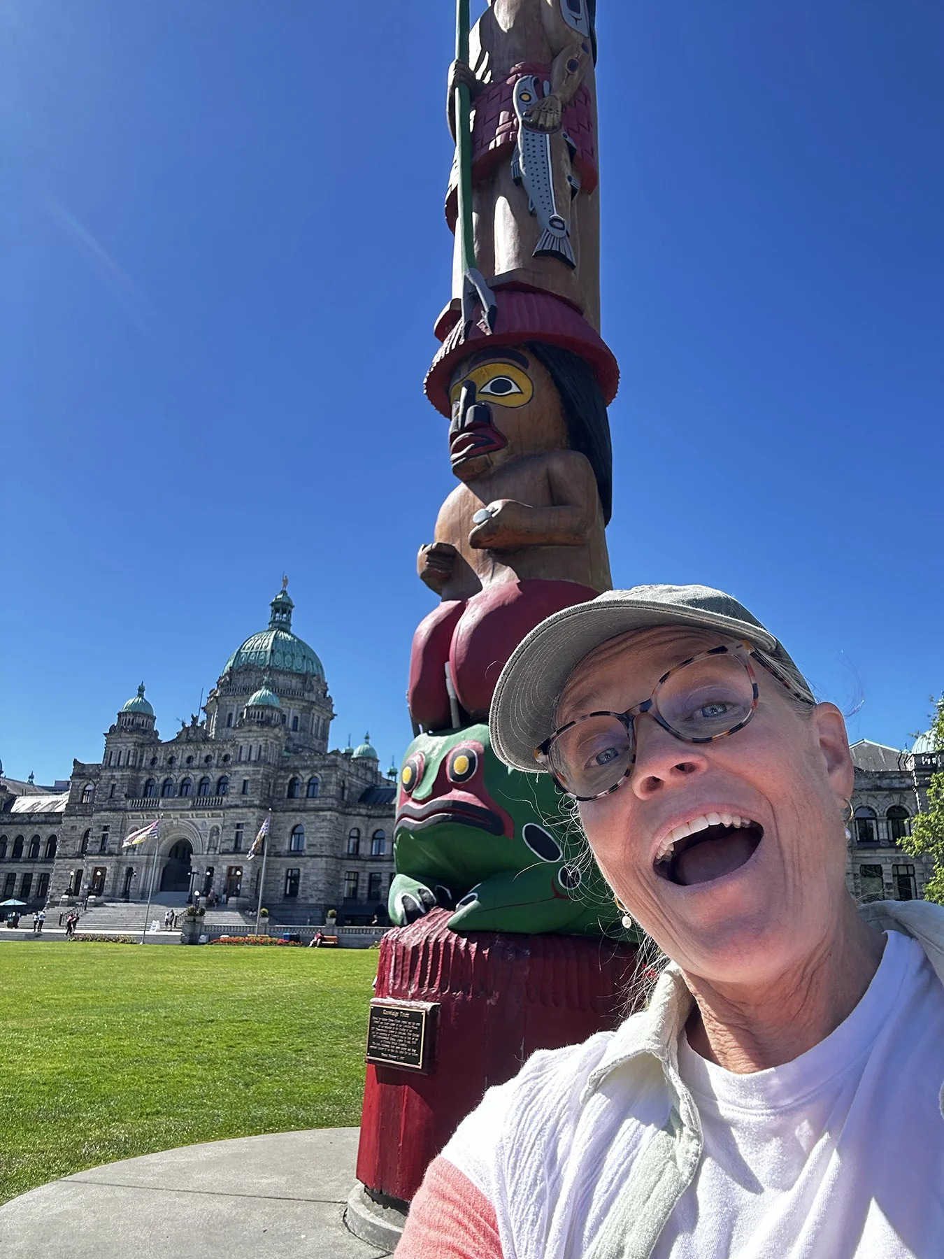
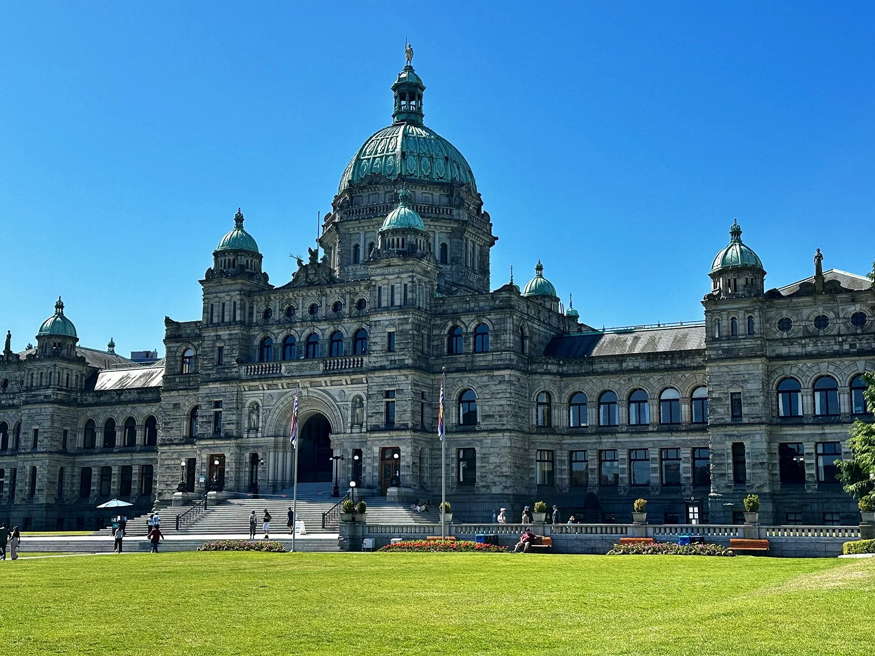
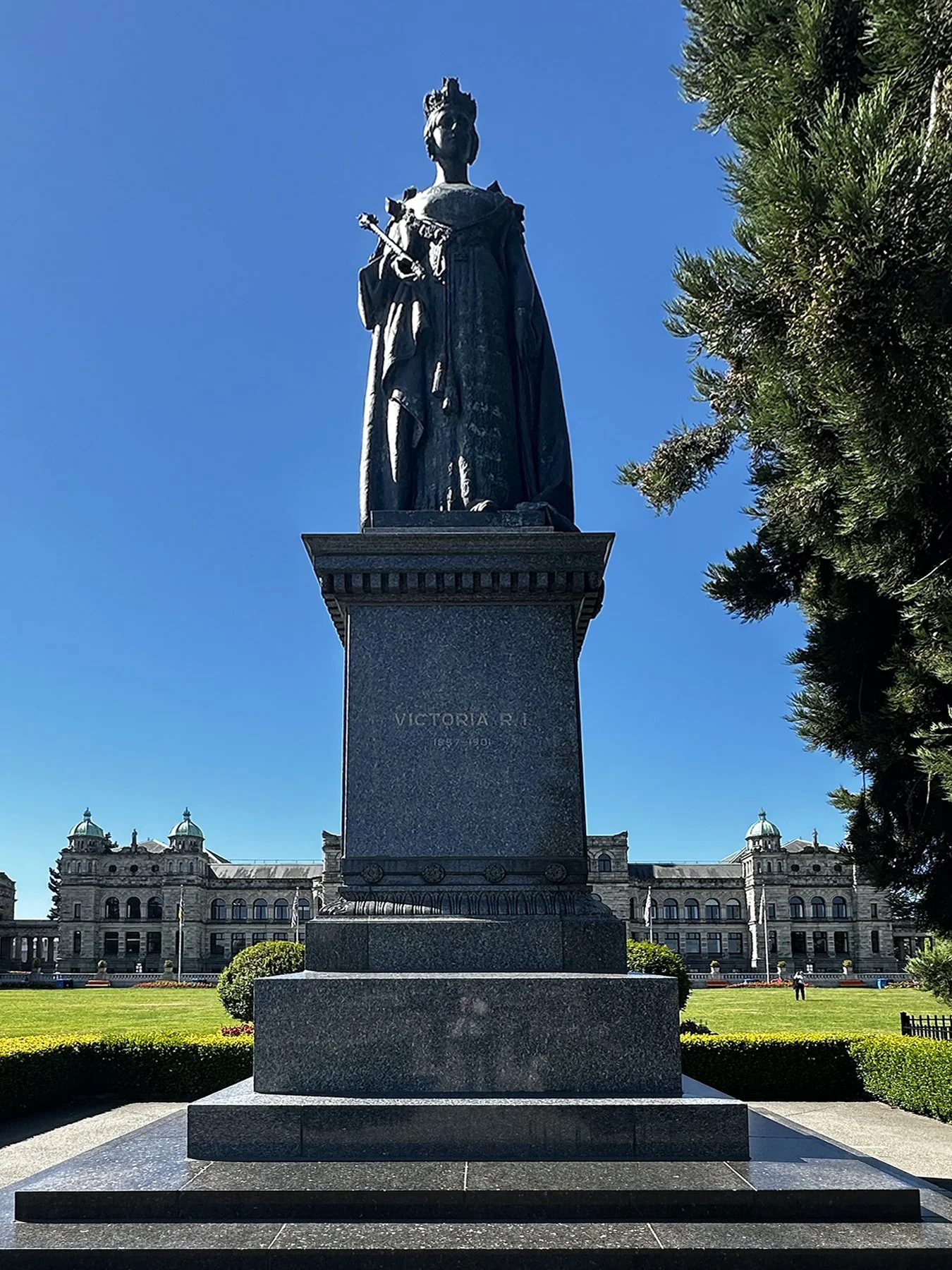
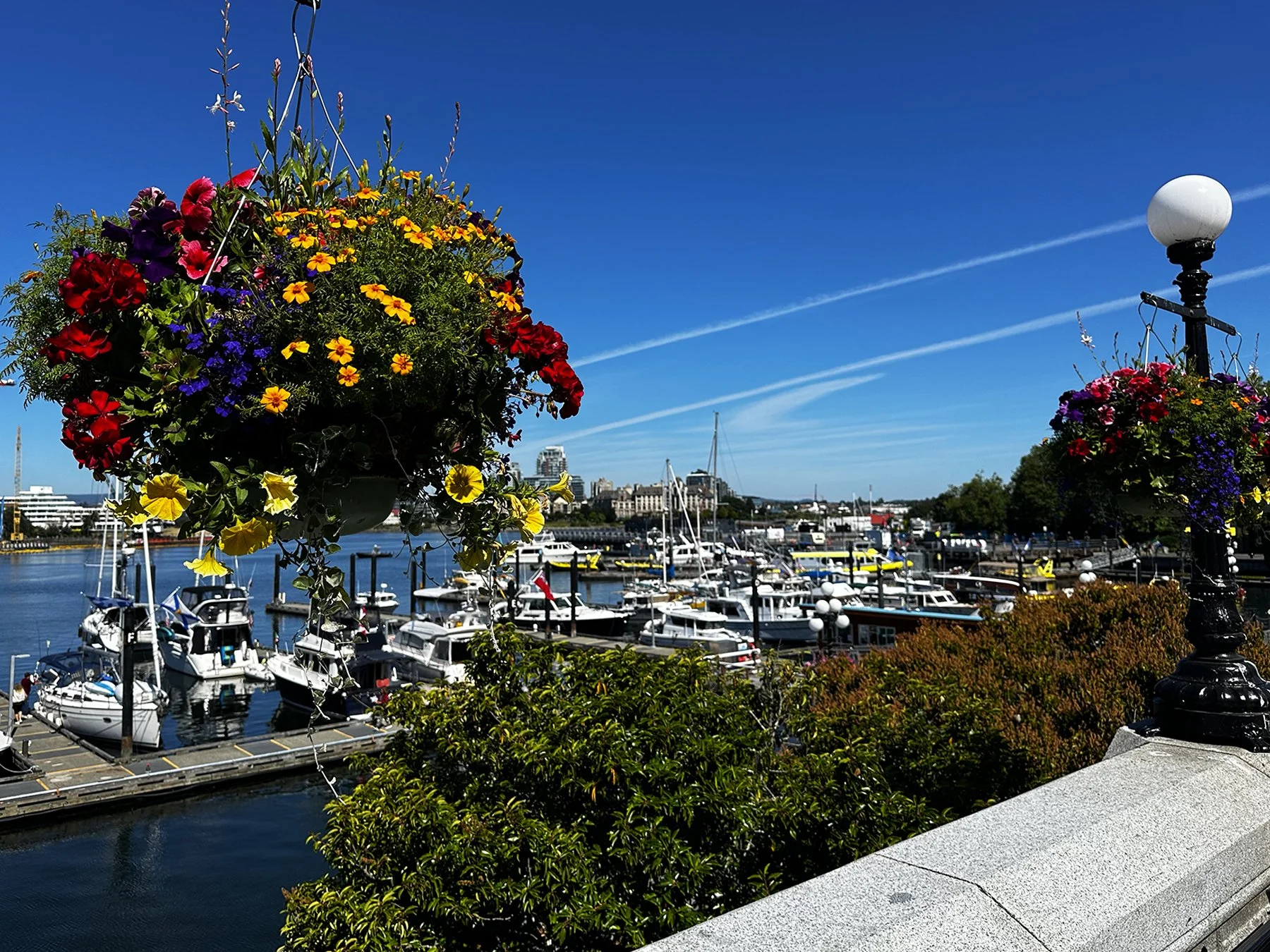
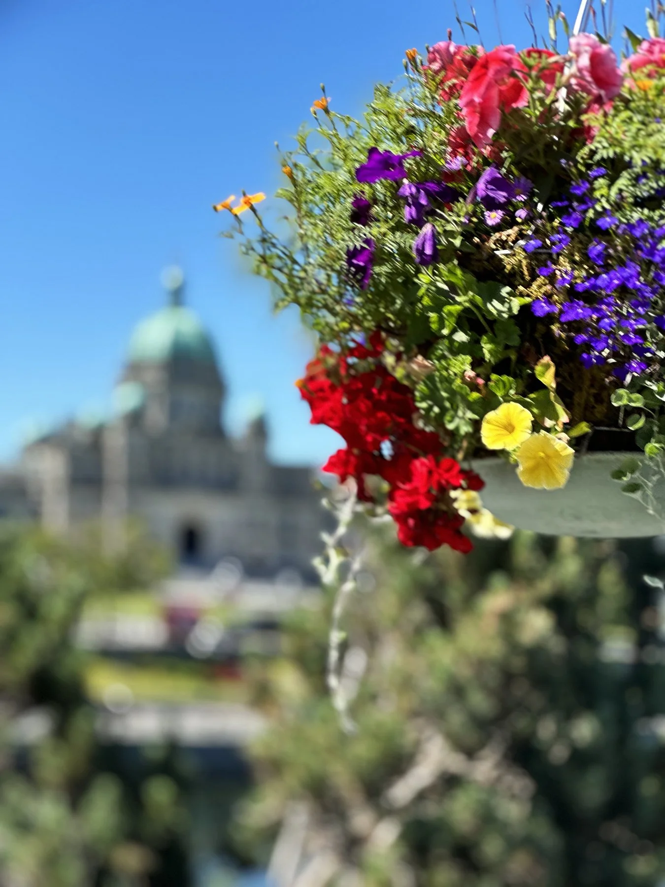
Victoria, B.C.
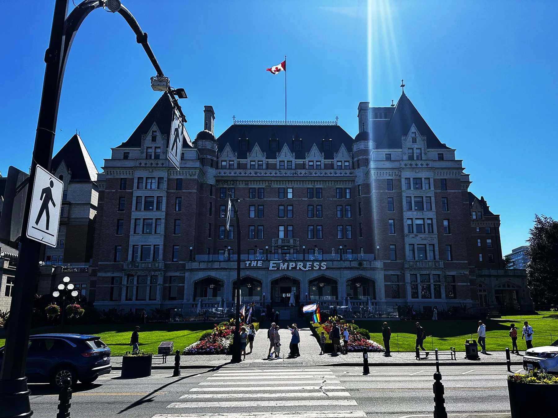
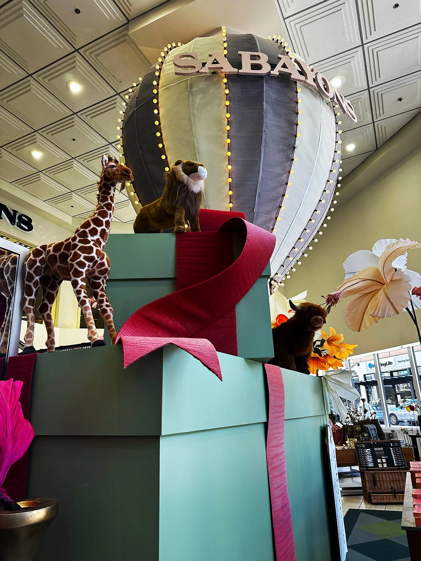
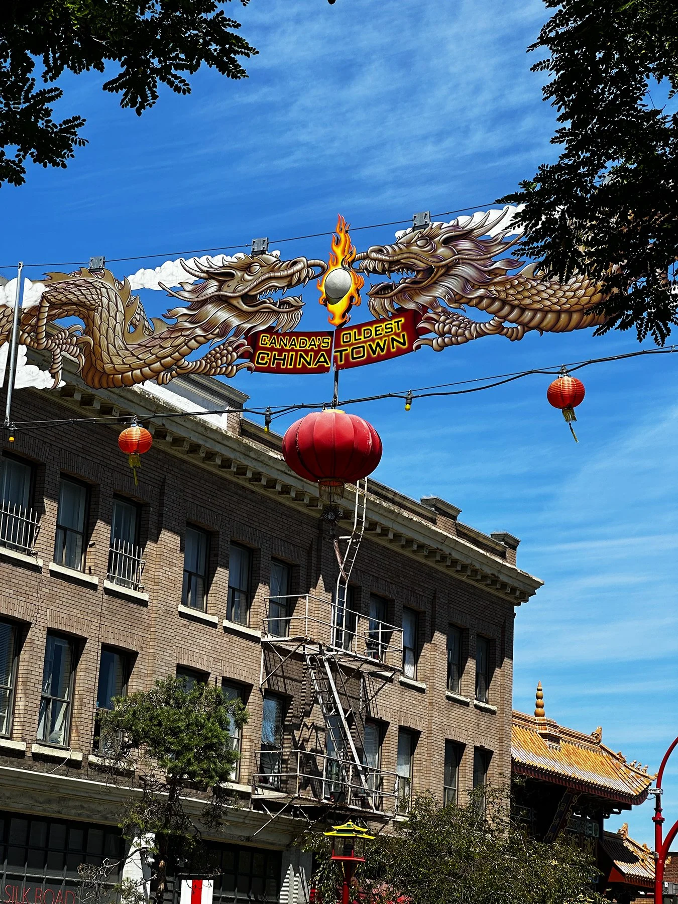
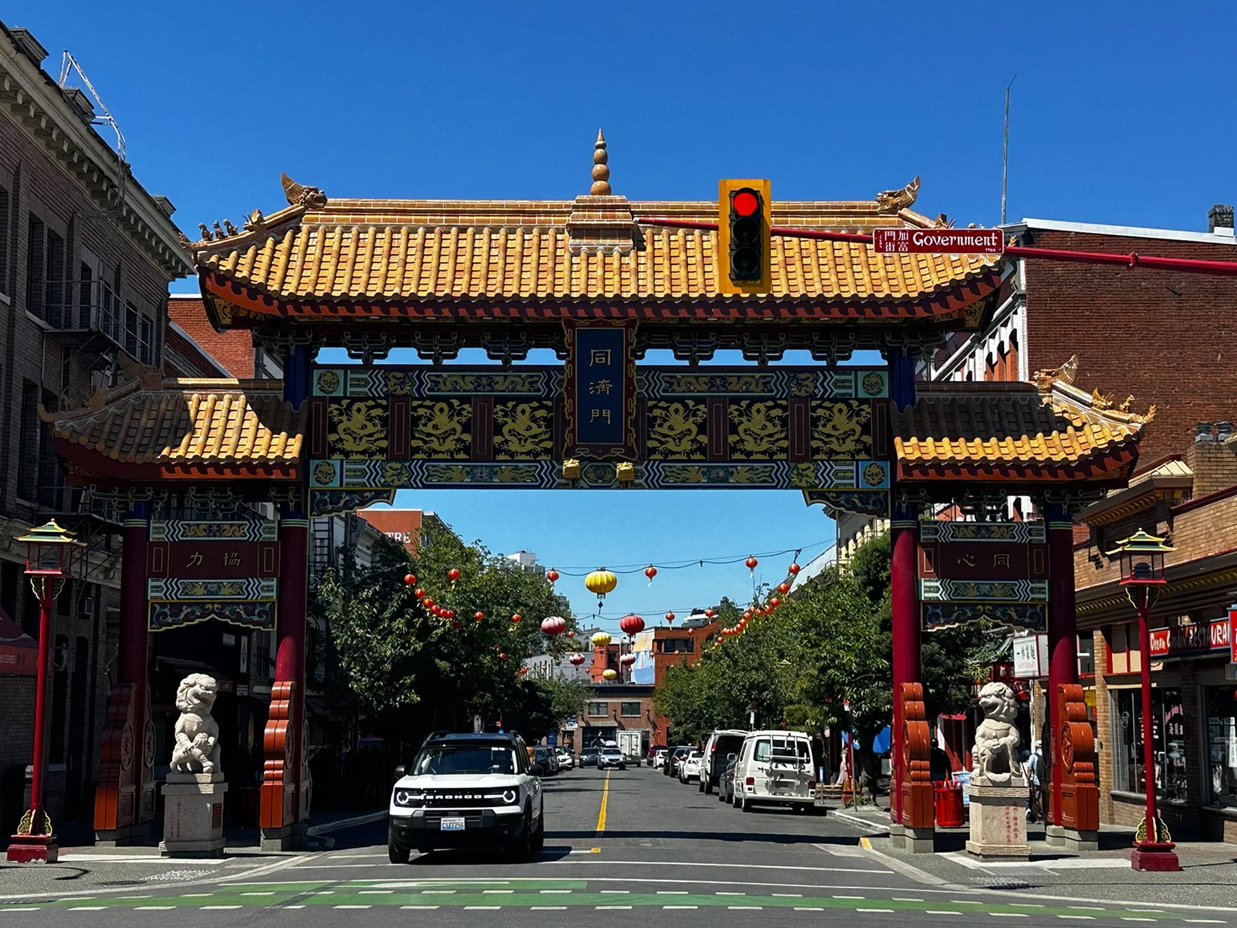
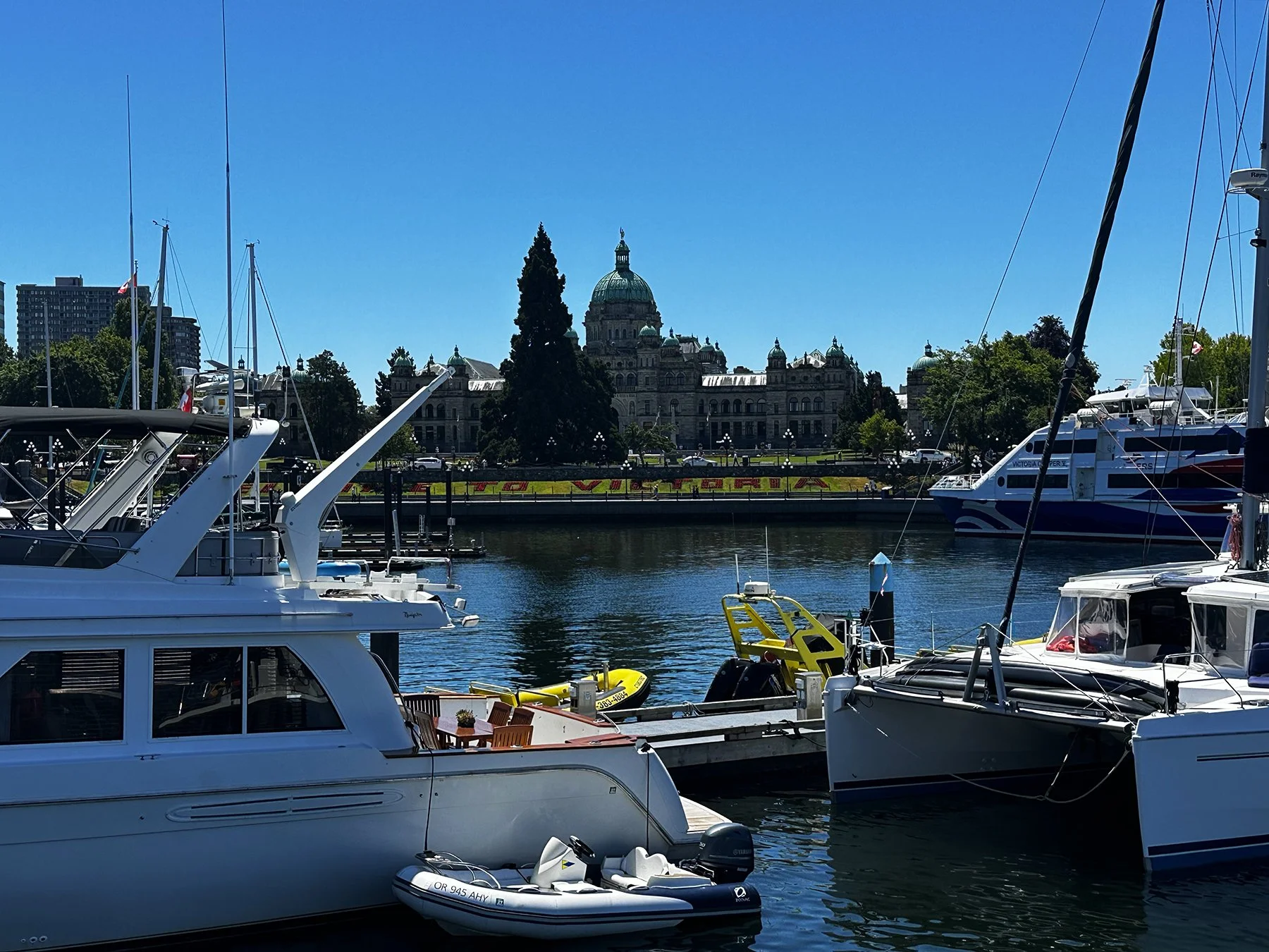
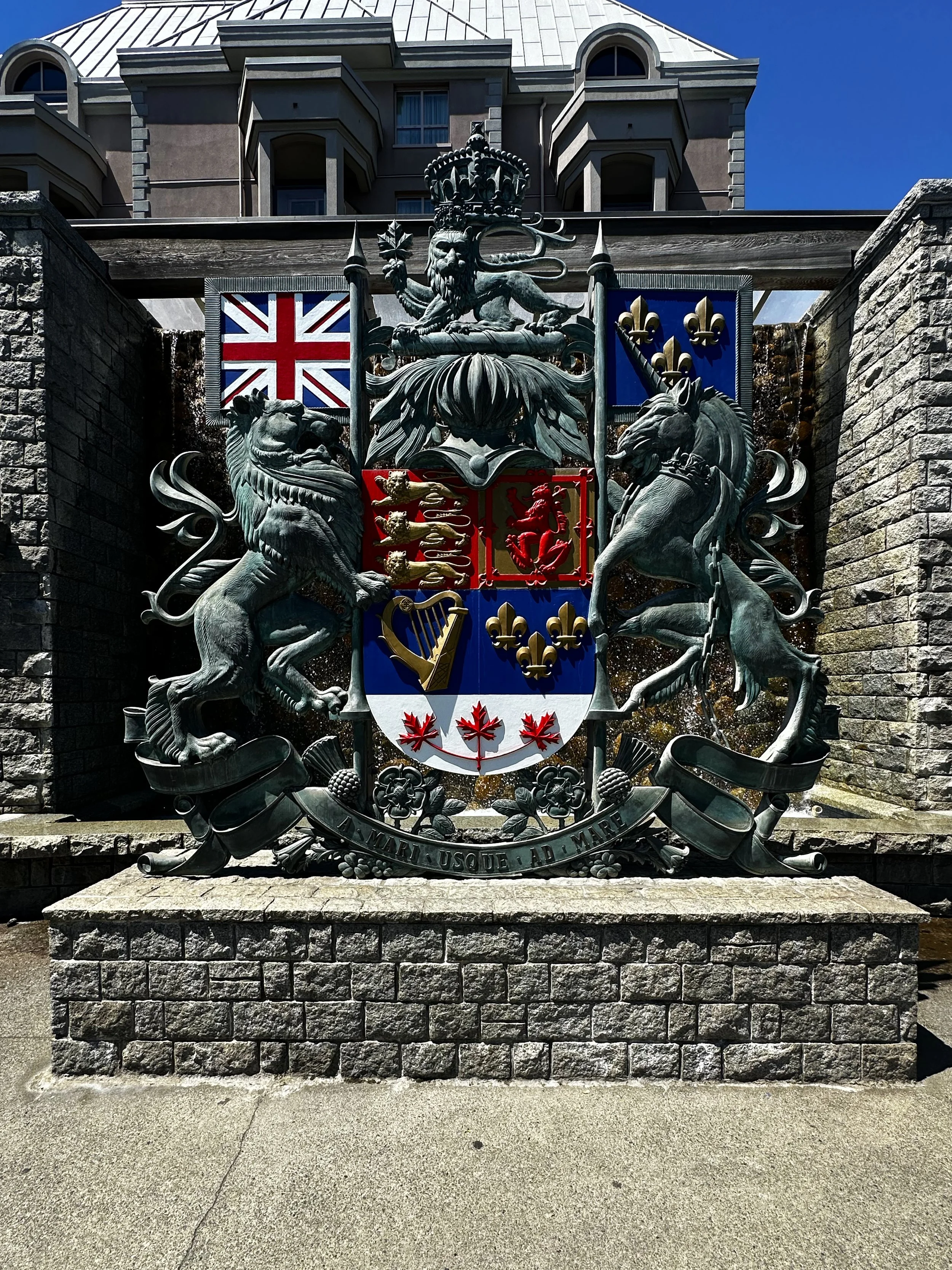
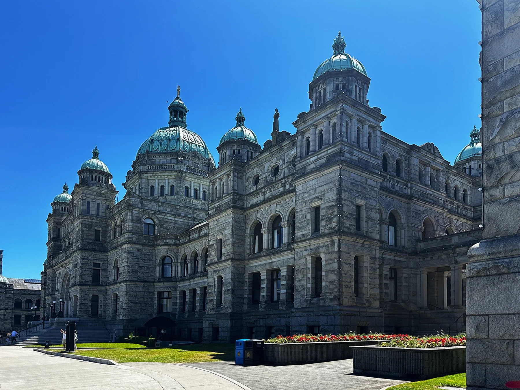
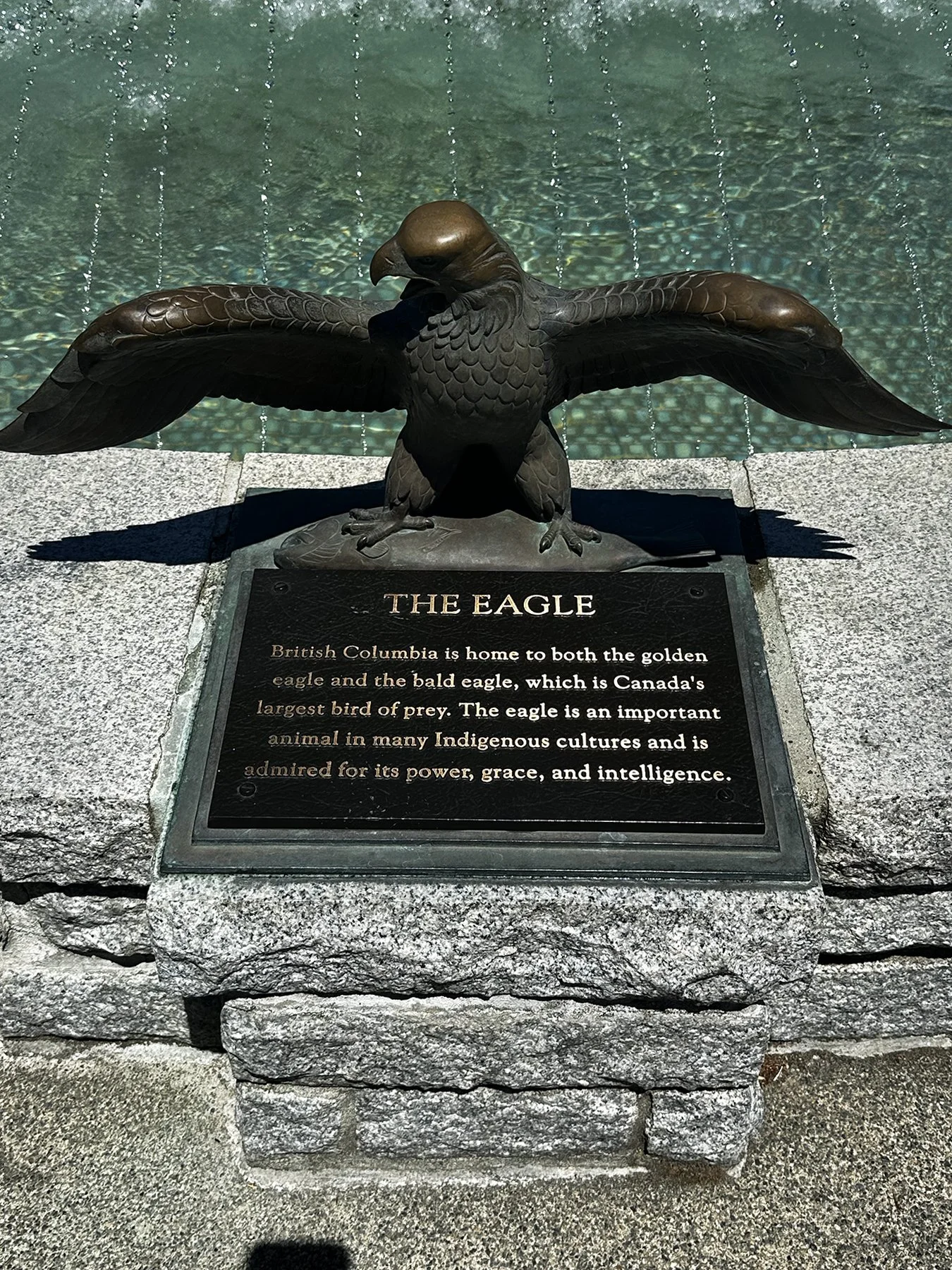
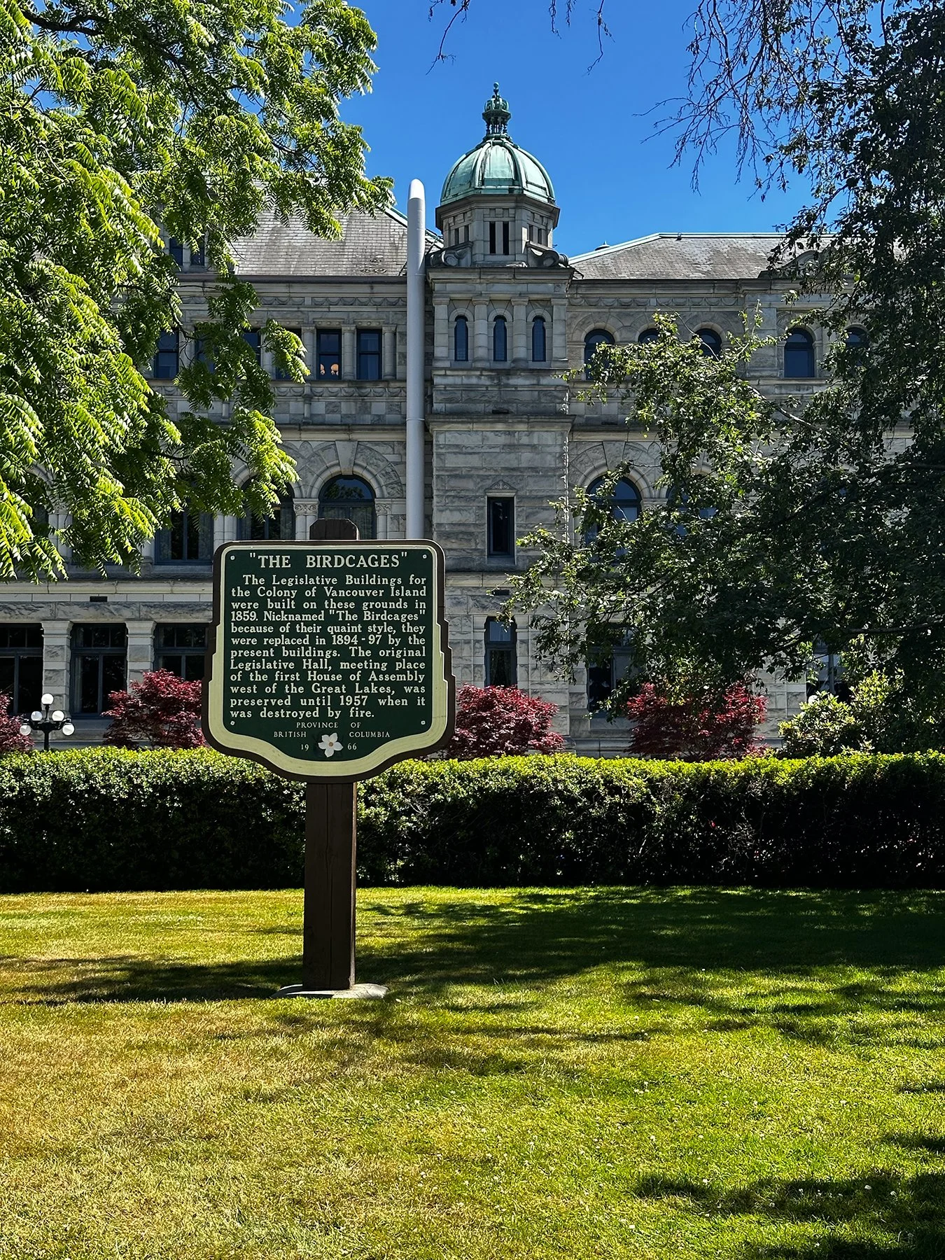
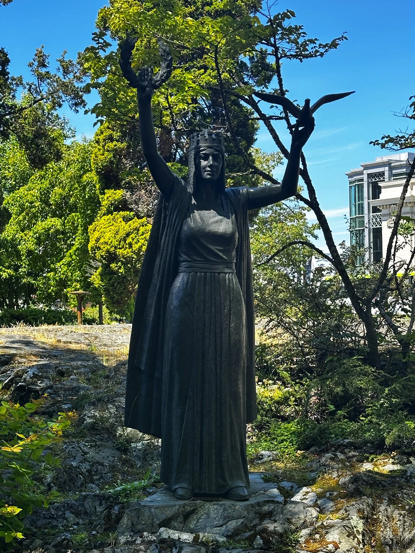
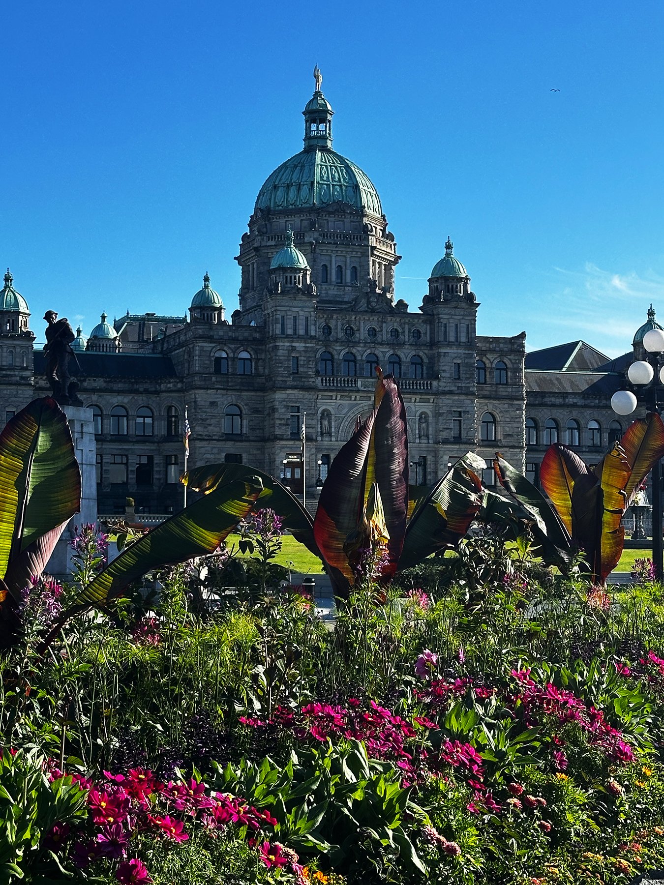
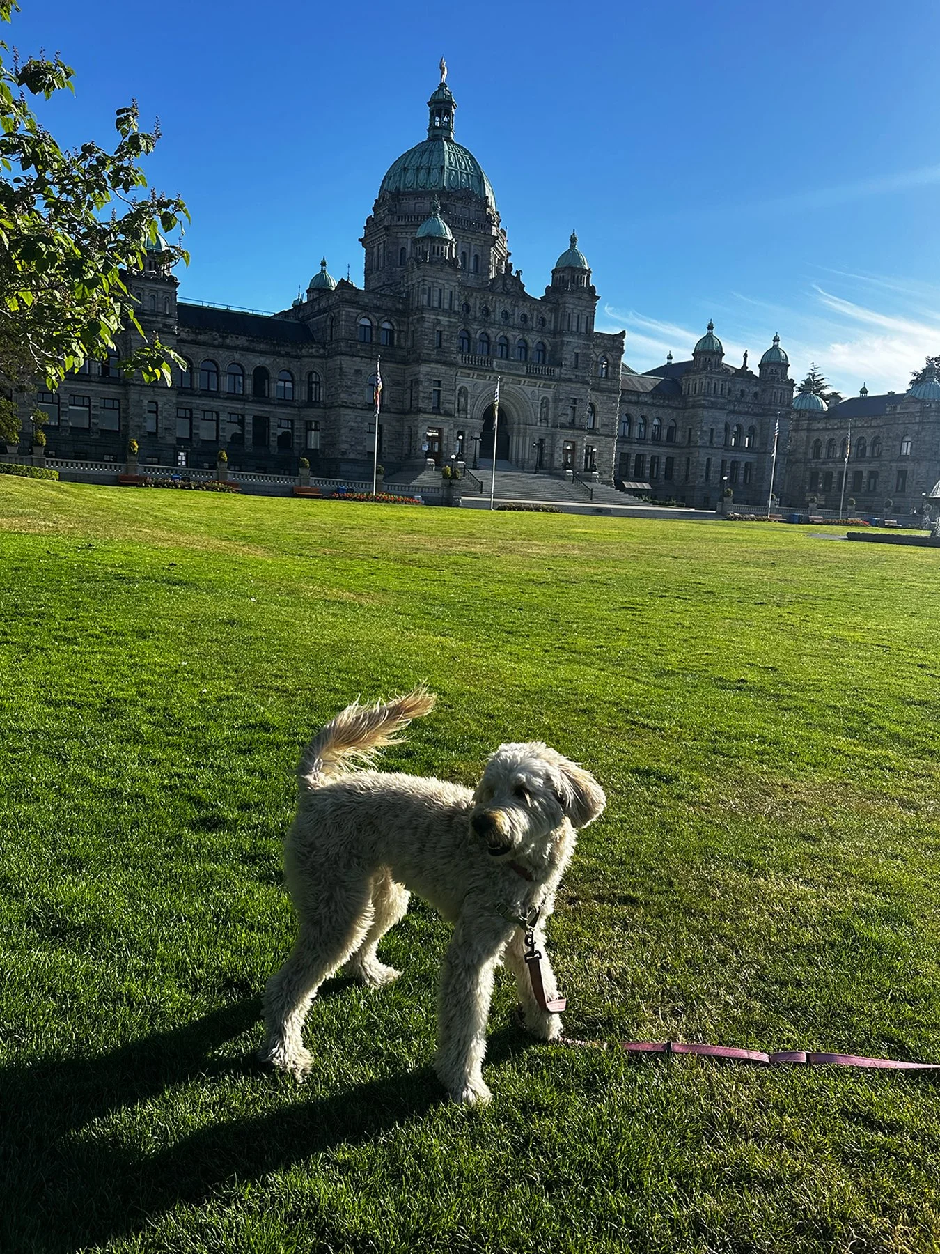
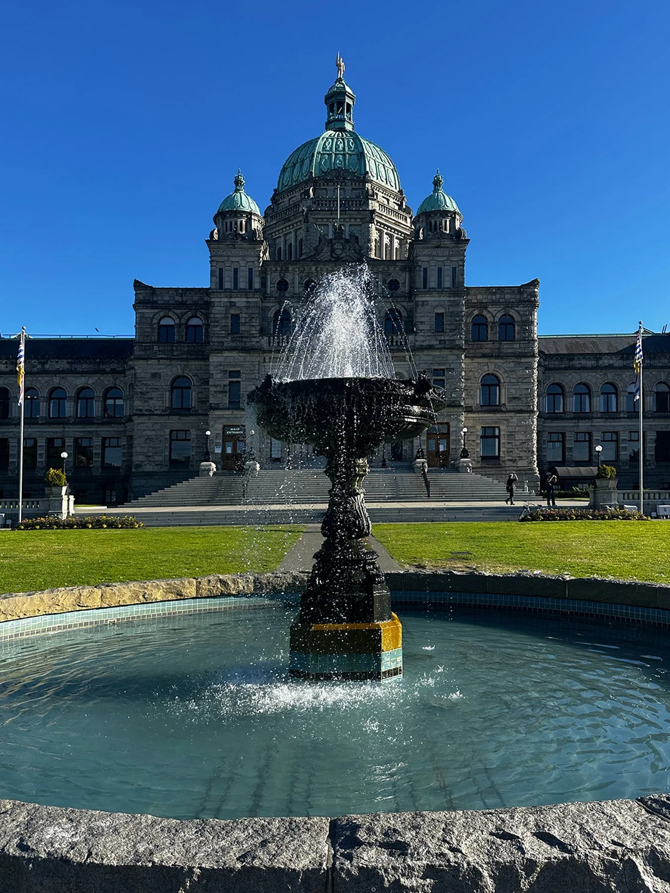
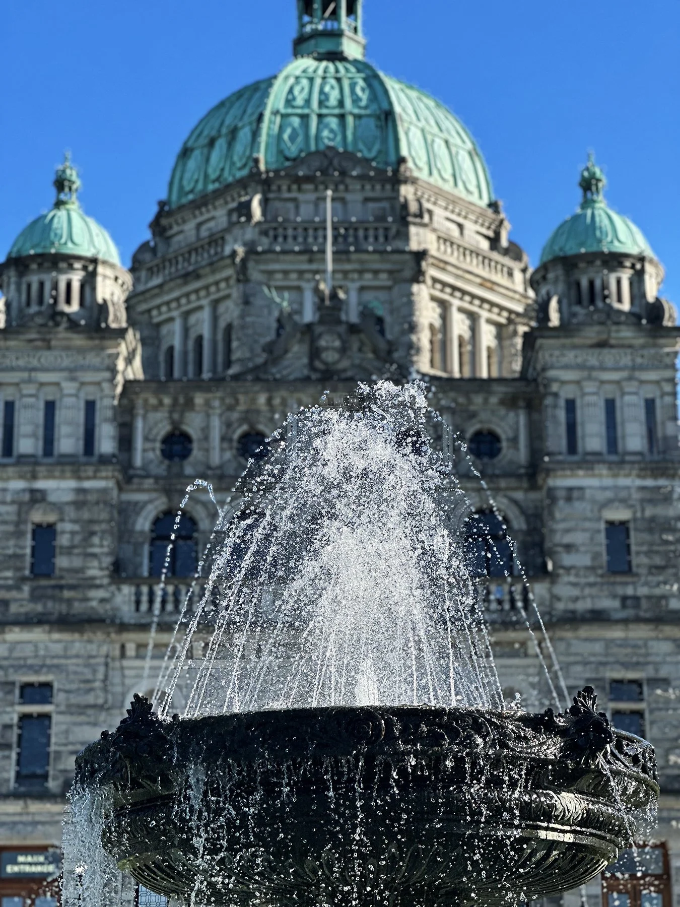
In between campground stays earlier in the week, we took a day to ferry over to Victoria on Vancouver Island, British Columbia. Oh, my goodness, what a wonderful day that turned out to be! Victoria is actually the capital of British Columbia, and is known for its British colonial heritage, mild climate, and abundant gardens, earning it the nickname “The Garden City”. We had such a grand time traipsing around the city all day, exploring shops, hotels, gardens, marinas and more. Starting at the grand Parliament buildings, we walked along the waterfront, checked out the impressive Fairmont Empress Hotel; the cutest, most original, best-designed store I’ve ever seen in my life—Saboyan; and Chinatown.


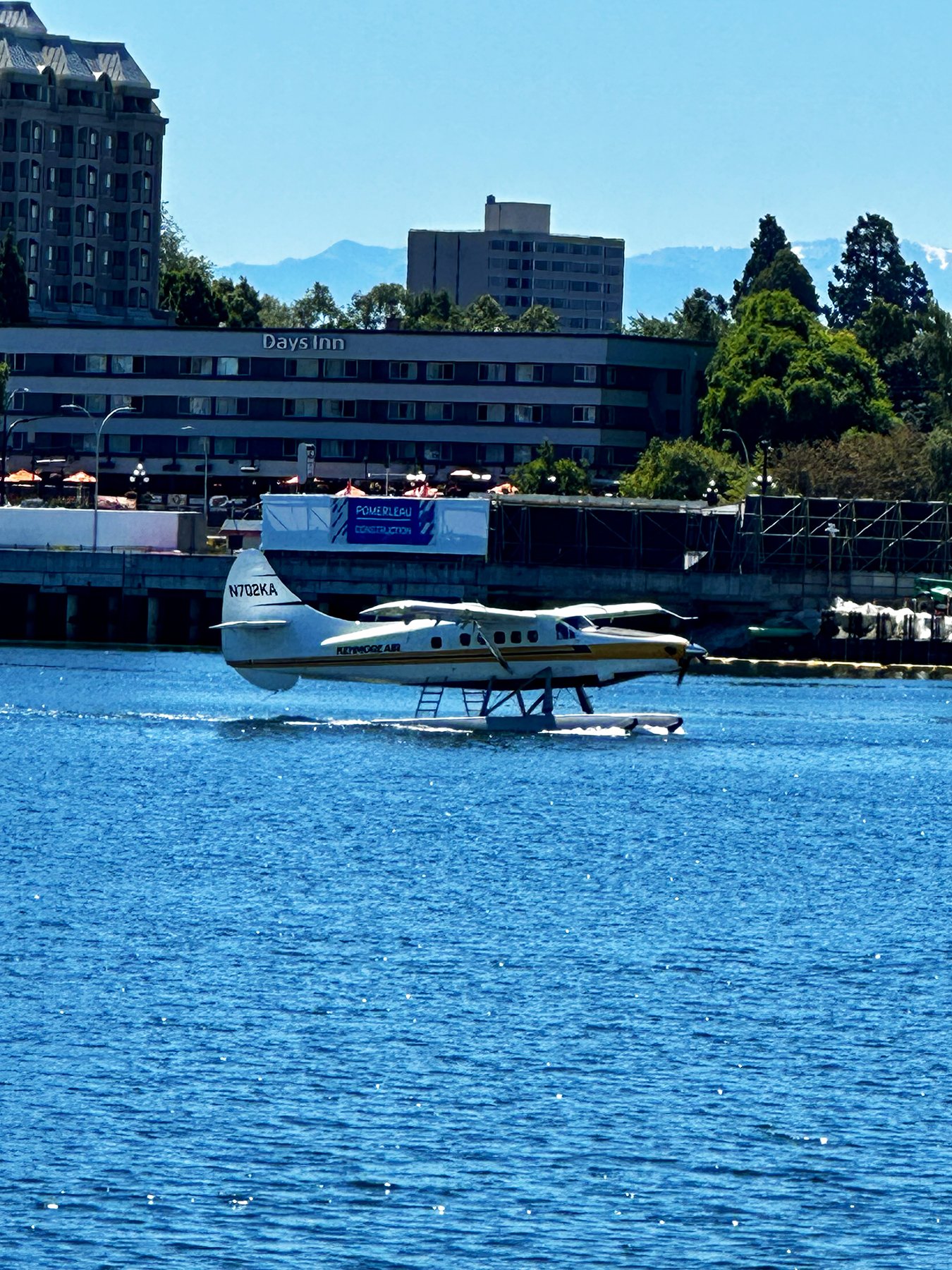
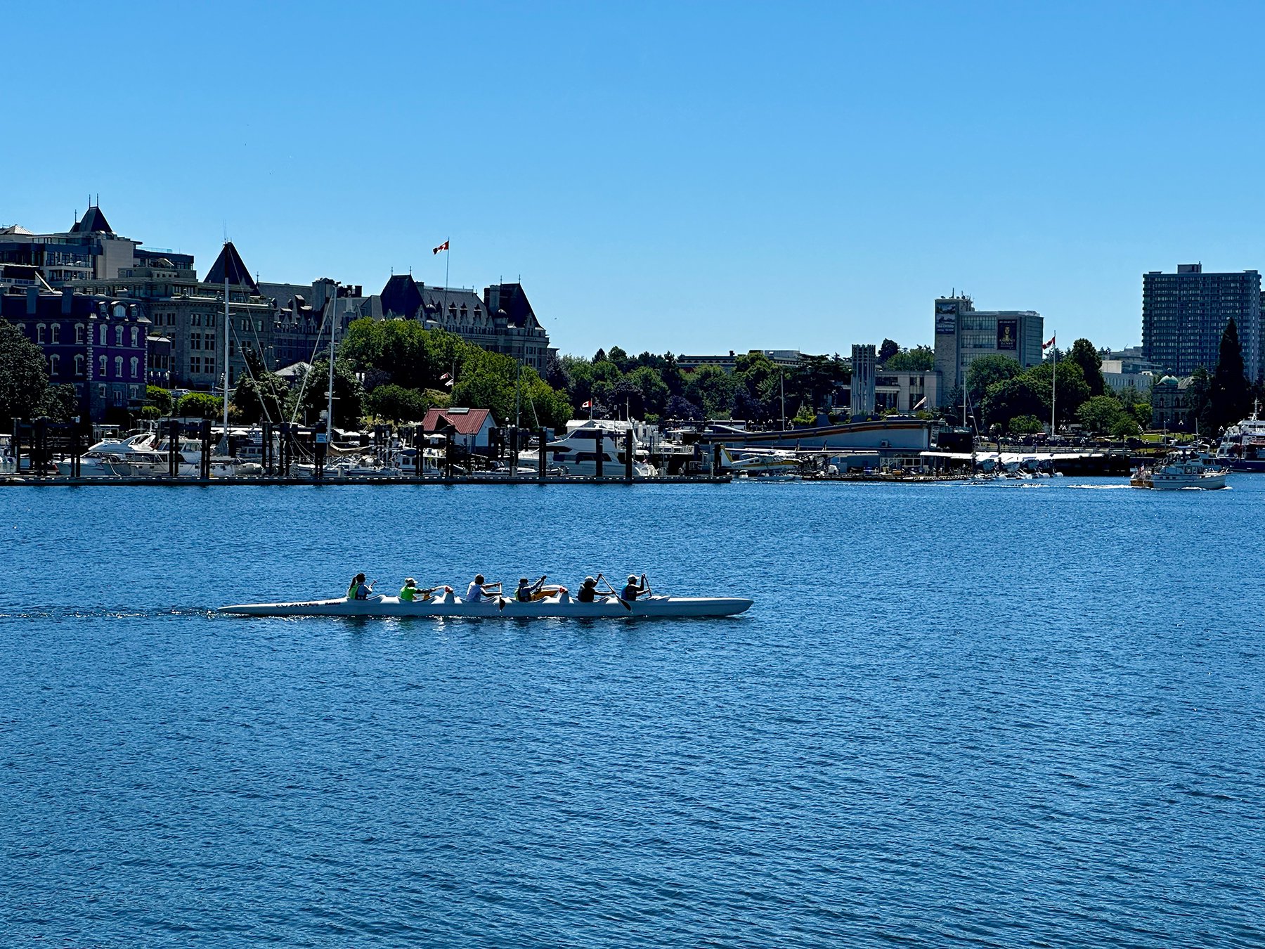
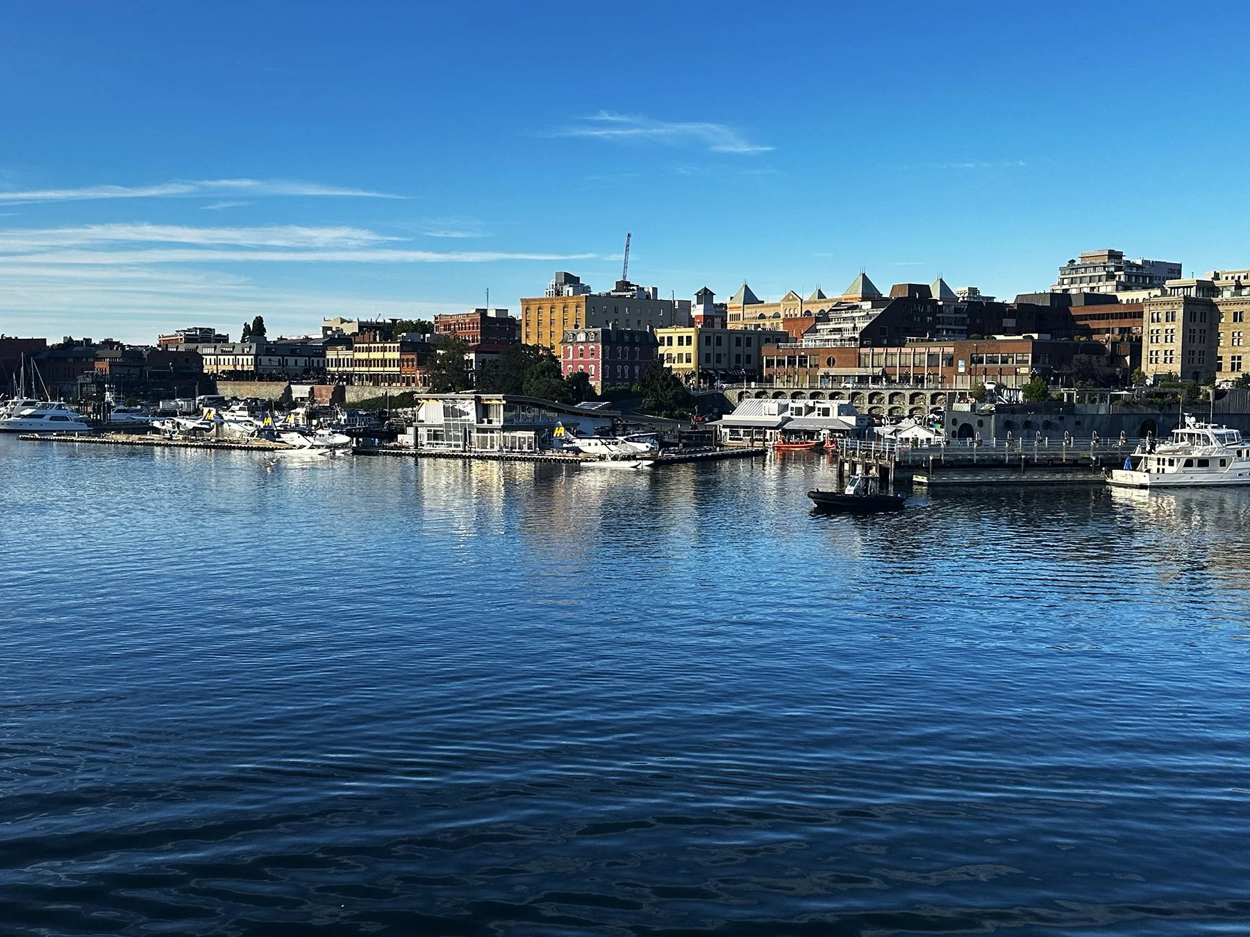
We then walked over the Johnson Street Bridge over the narrows separating the Inner Harbor and the Upper Harbor—or, as in Canada, “harbour”— to see the amazing views of the city from the other side, along with float planes and rowers, then hiked back again, all the way to Fisherman’s Wharf and its colorful float homes. Traversing through some neighborhoods with iconic arts-and-crafts architecture—like our former home in Hyde Park (Austin)—we ended up at Beacon Hill Park. It truly is one of the most beautiful urban parks I’ve ever been to (in addition to Washington Park in Portland)—we even saw peacocks walking around! Already about 8 miles into the day, I decided it’d be a good time to find a place to rest, maybe have a light dinner and catch some World Cup soccer. So we walked all the way through the downtown area to find a hotel bar/restaurant; the owner was so gracious to allow Maisie to sit with me in a booth in the sports bar where I enjoyed a fabulous dinner and put my feet up for a while. We ended up doing 11 miles in all that day, never regretting a single step. I shall return, Victoria!!


Finally, if you were wondering how Olympic National Park got its name, as I was, it’s from its dominant centerpiece, Mount Olympus. British explorer John Meares named the mountain in 1778, comparing its striking, snow-capped peaks to the legendary home of the Greek gods. The surrounding peninsula and eventual national park adopted the same name. So there you have it.
What’s next for Maisie and me? How about some World Cup action in Seattle?
le Mounts de Washington
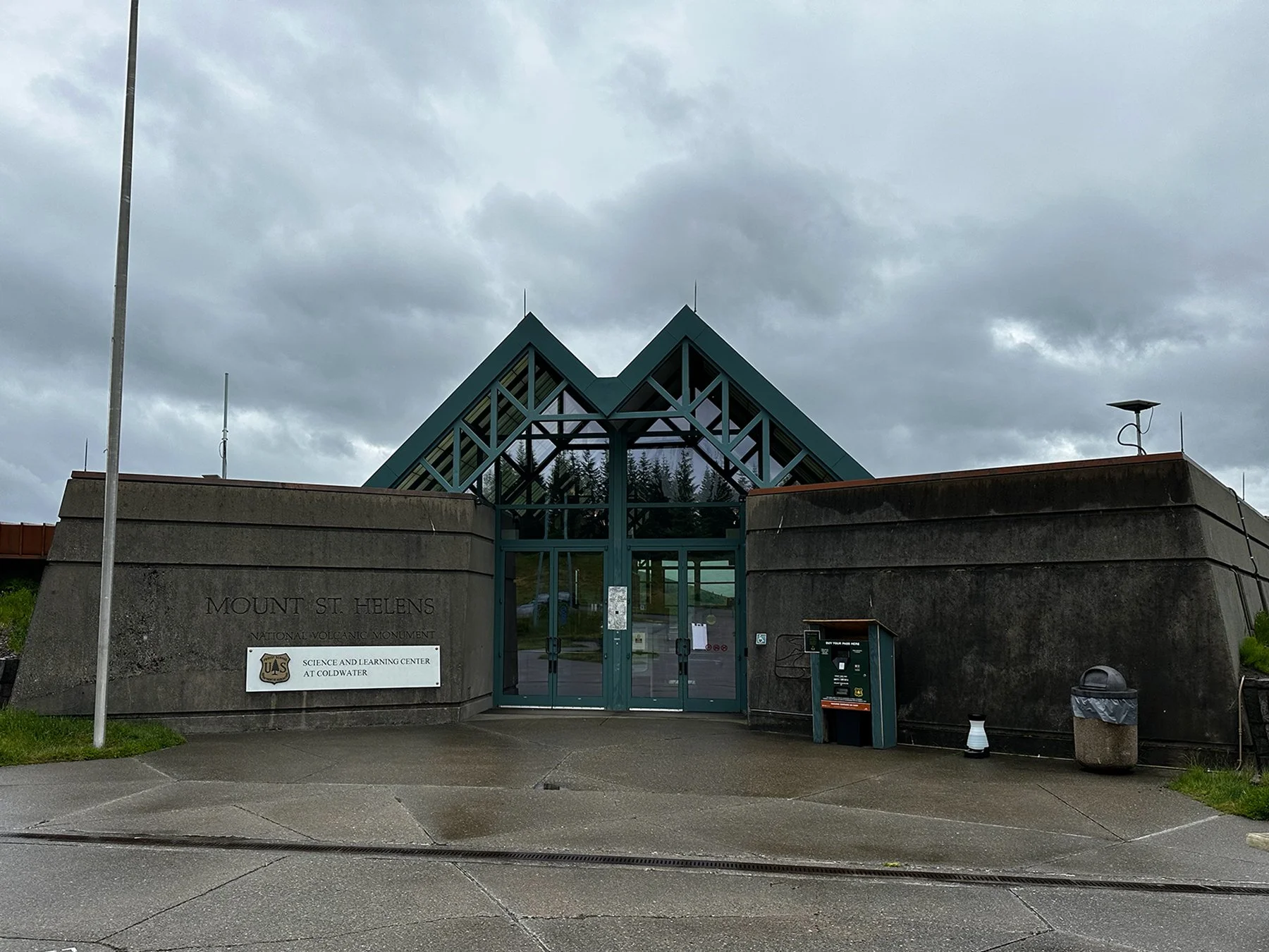
Mount St. Helens
Were you alive when Mount St. Helens erupted? If you have to ask what year that was, then you weren’t alive. Or you were too young to see it on the news on your tv where you got four whole channels, or too young to read about it in the newspaper, or hear about it on an actual radio—the three main forms of news dissemination those days.
I was finishing up my junior year in high school when the volcano erupted on May 18, 1980. It was—and still is—the most economically destructive volcanic event in U.S. history. 57 people were killed and 200 homes, 47 bridges, 15 miles of railways, and 185 miles of highway were destroyed. A massive debris avalanche—triggered by a magnitude 5.1 earthquake—caused a lateral eruption that reduced the elevation of the mountain's summit from 9,677 to 8,363 ft (a difference of 1,314 ft!), leaving a 1-mile-wide horseshoe-shaped crater.
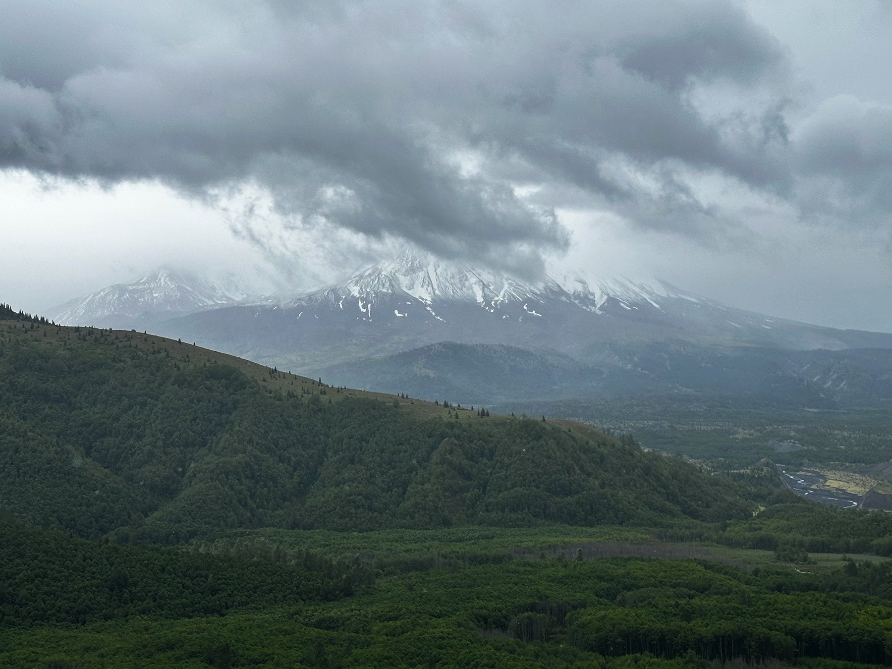
After leaving Portland and the Columbia River Gorge area, I was thrilled to be able to ‘swing by’ Mount St. Helens on my way to Mount Rainier. Though cold and rainy that day (shocking for the PNW, I know), it was fascinating being able to take in the history of the event up close. I watched a documentary on the eruption the night before, since it had been, what, 46 years since it took place? I’ve slept since then. LOL
Maisie enjoyed the short hike on the interpretive trail around the visitor’s center. Another epic day in the life of Maisie!


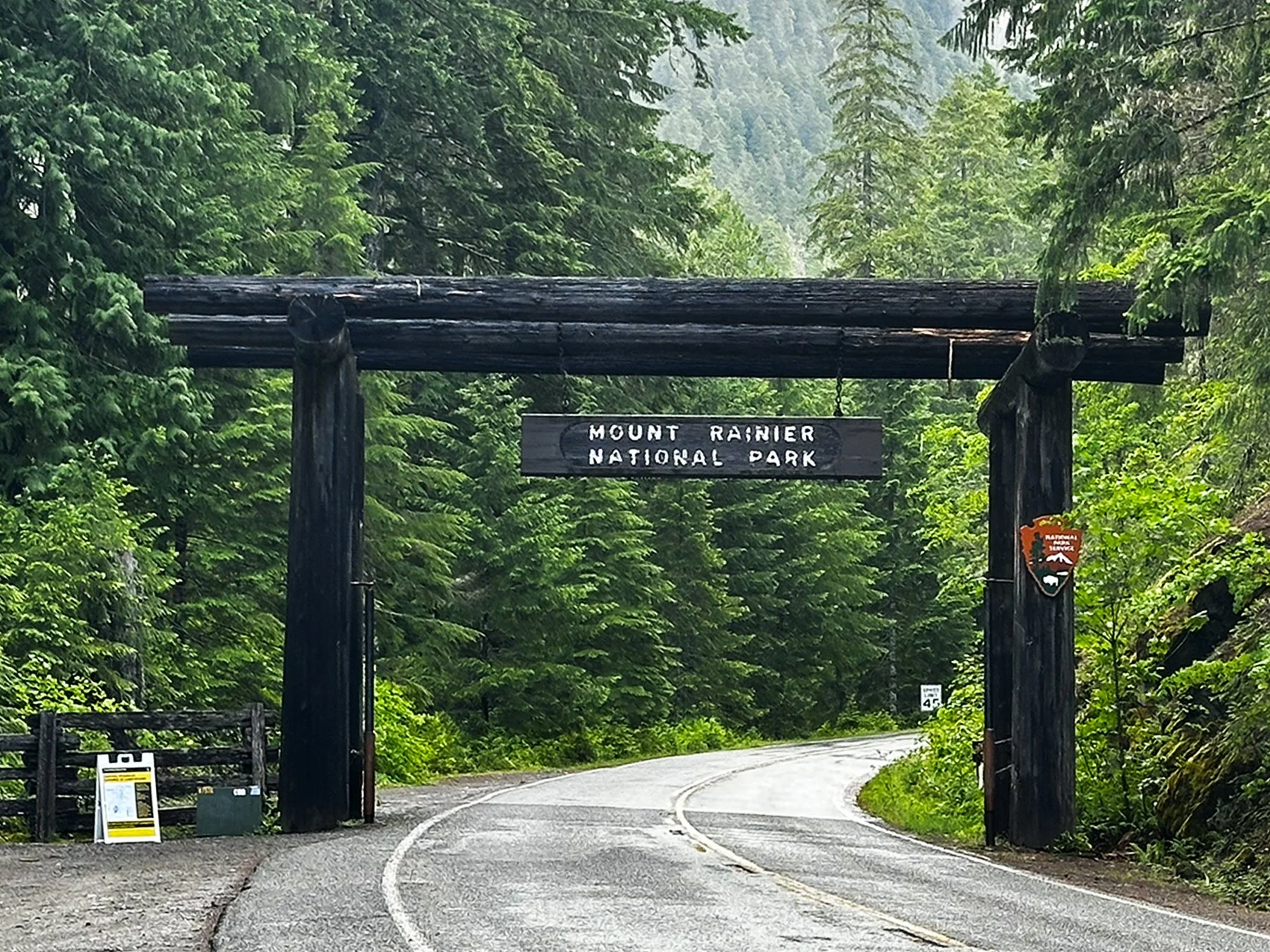
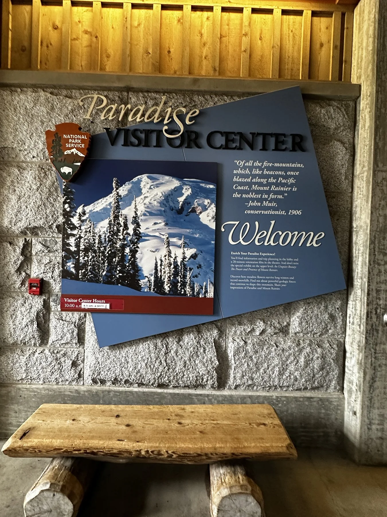
Mount Rainier
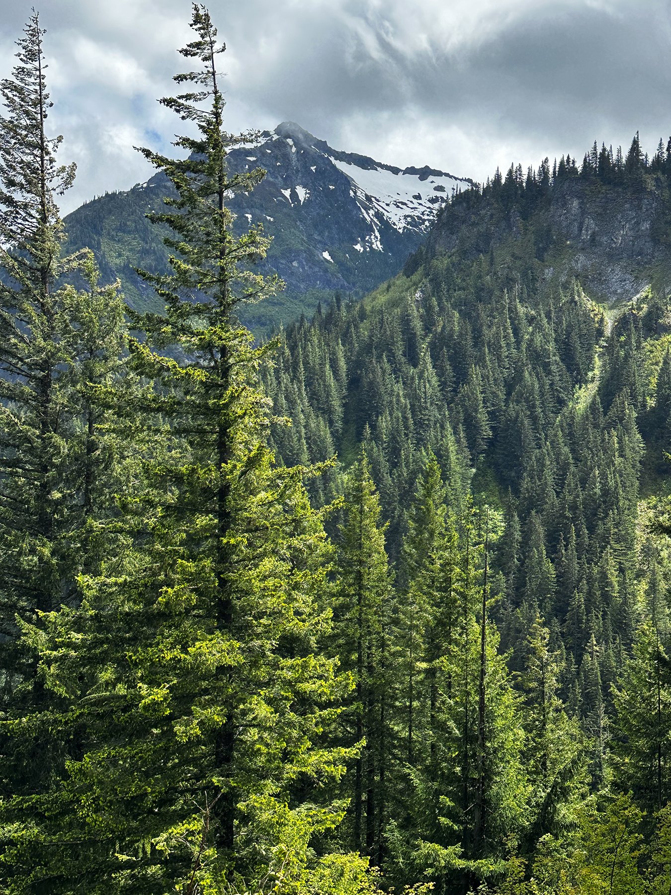
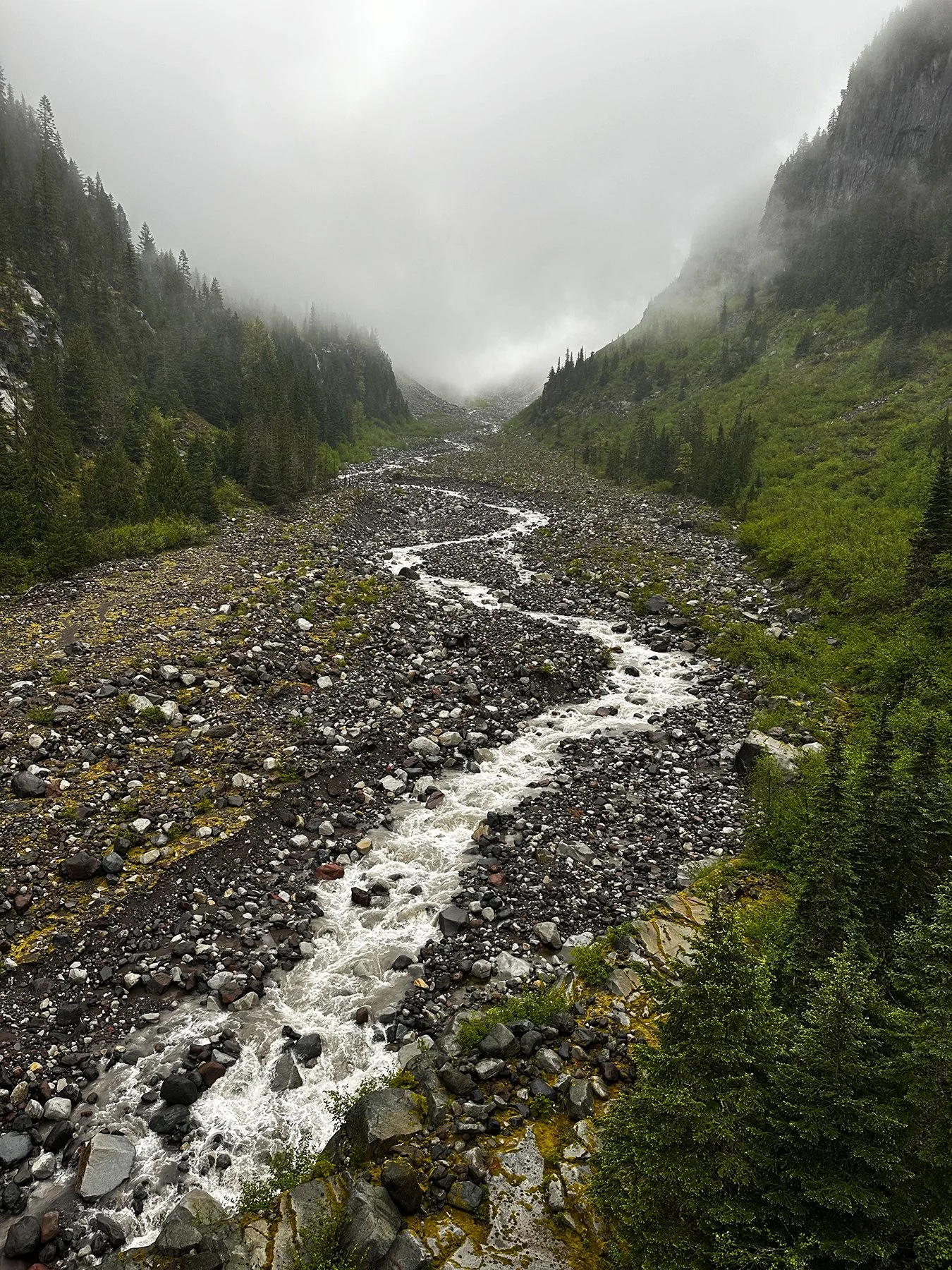
We headed on up to our campground not too far from Mount Rainier, looking forward to another fantastic representation of America’s National Park system. A mountain of immeasurable inspiration, Mount Rainier is the center of the nation’s fifth national park (and my 23rd in the last year, if you’re counting ;-). At 14,410 feet, the mountain is the tallest volcano in the Cascade Mountain Range and the most glaciated peak in the continental United States. Glaciers—massive rivers of ice up to 750 feet deep(!)—flow down its rocky slopes. Yet, on the summit, steam escapes from deep within the mountain’s core, a reminder that it is still an active volcano. Crazy, right?
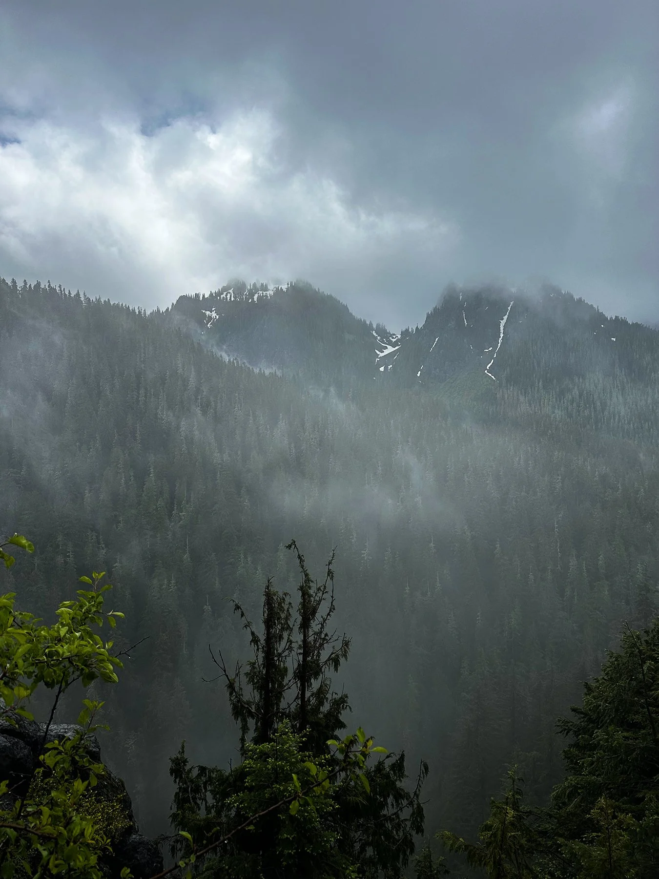
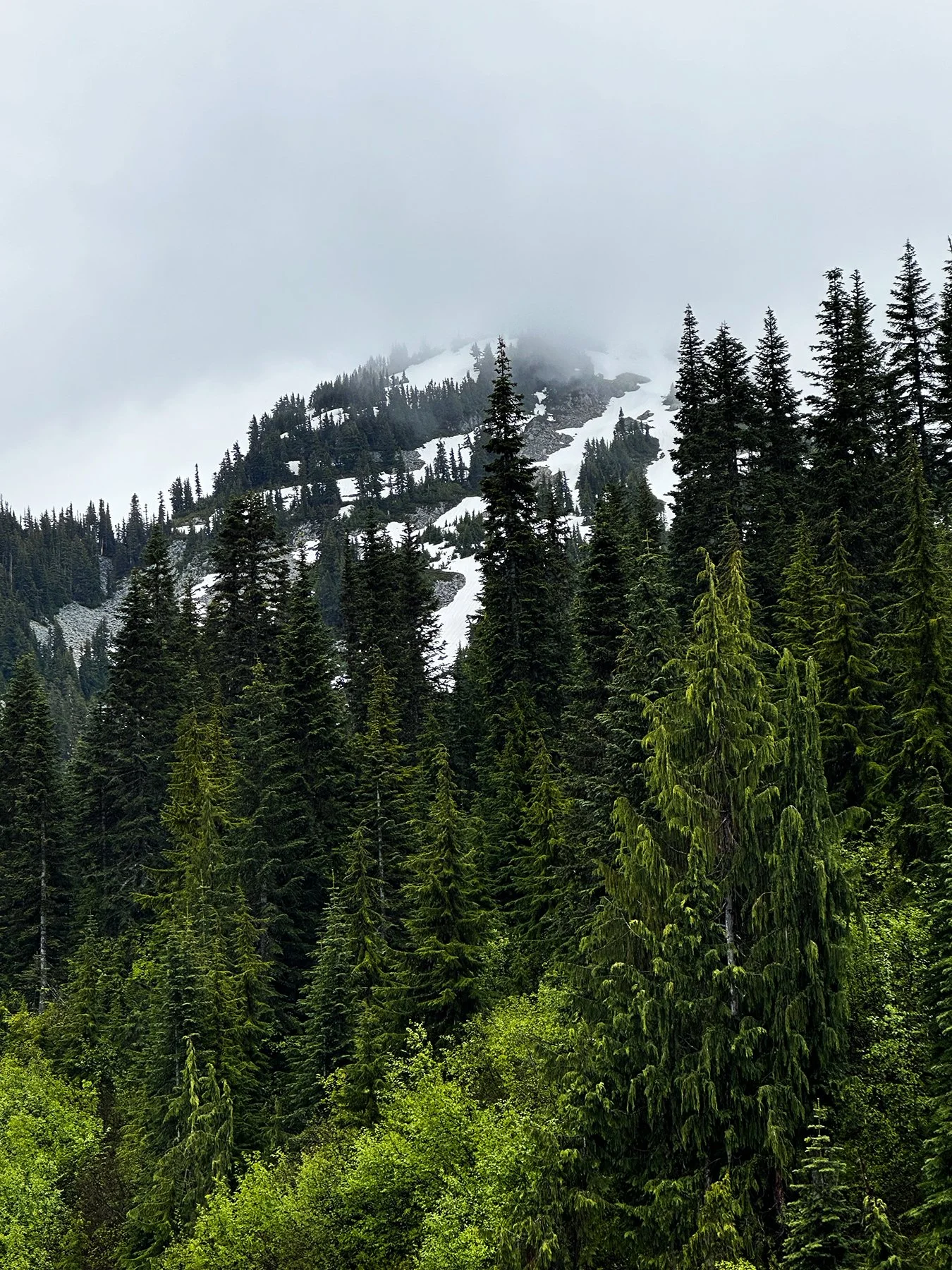
While disappointed that the peak was just about impossible to see due to the rain and the gray, cloudy skies—even when standing directly below it!—it certainly opened my eyes to the intense beauty further down the mountain. Think of wooden pedestrian bridges, countless powerful waterfalls and flowers beginning to bloom in pristine meadows … more on that in a bit.


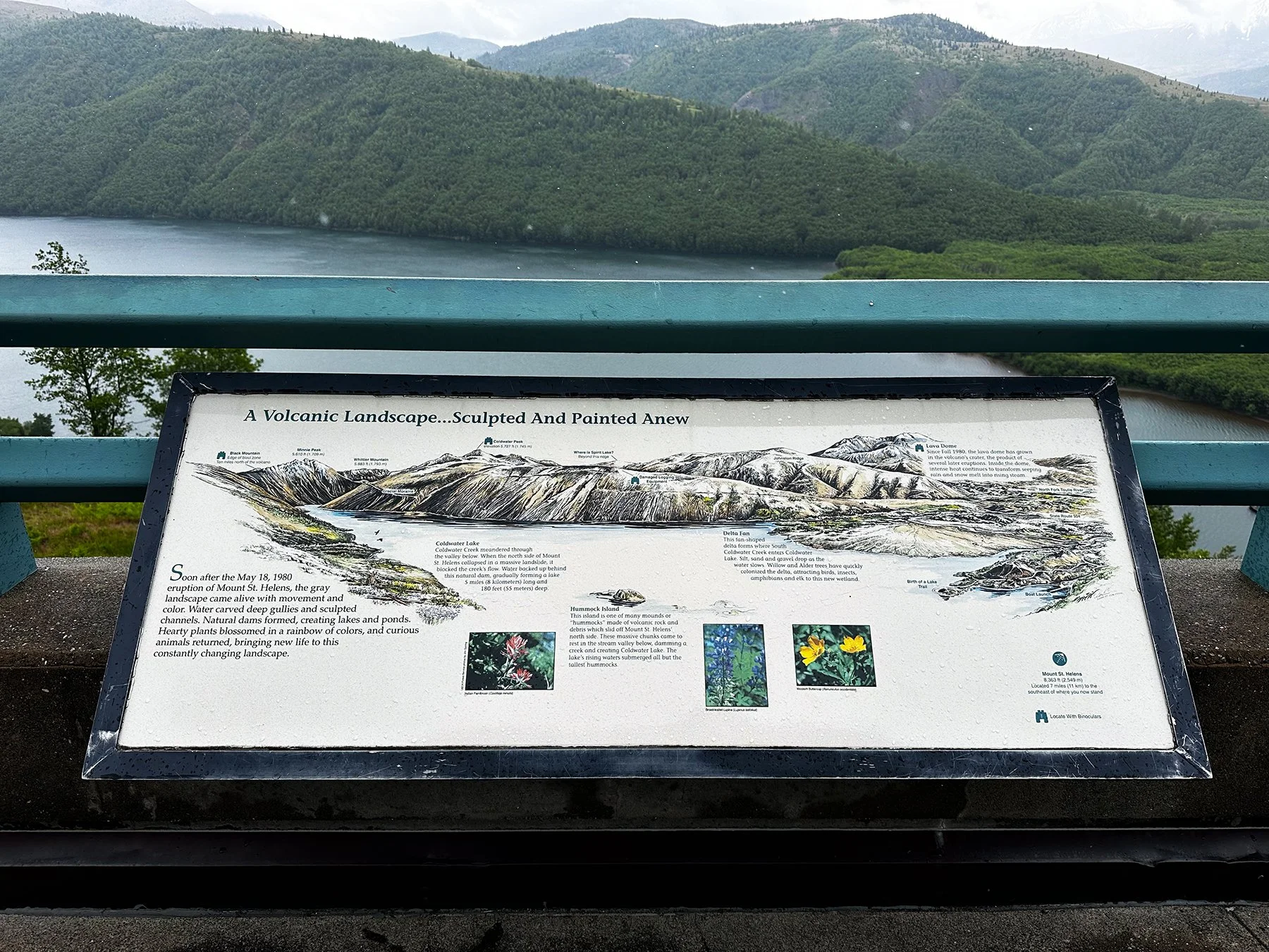
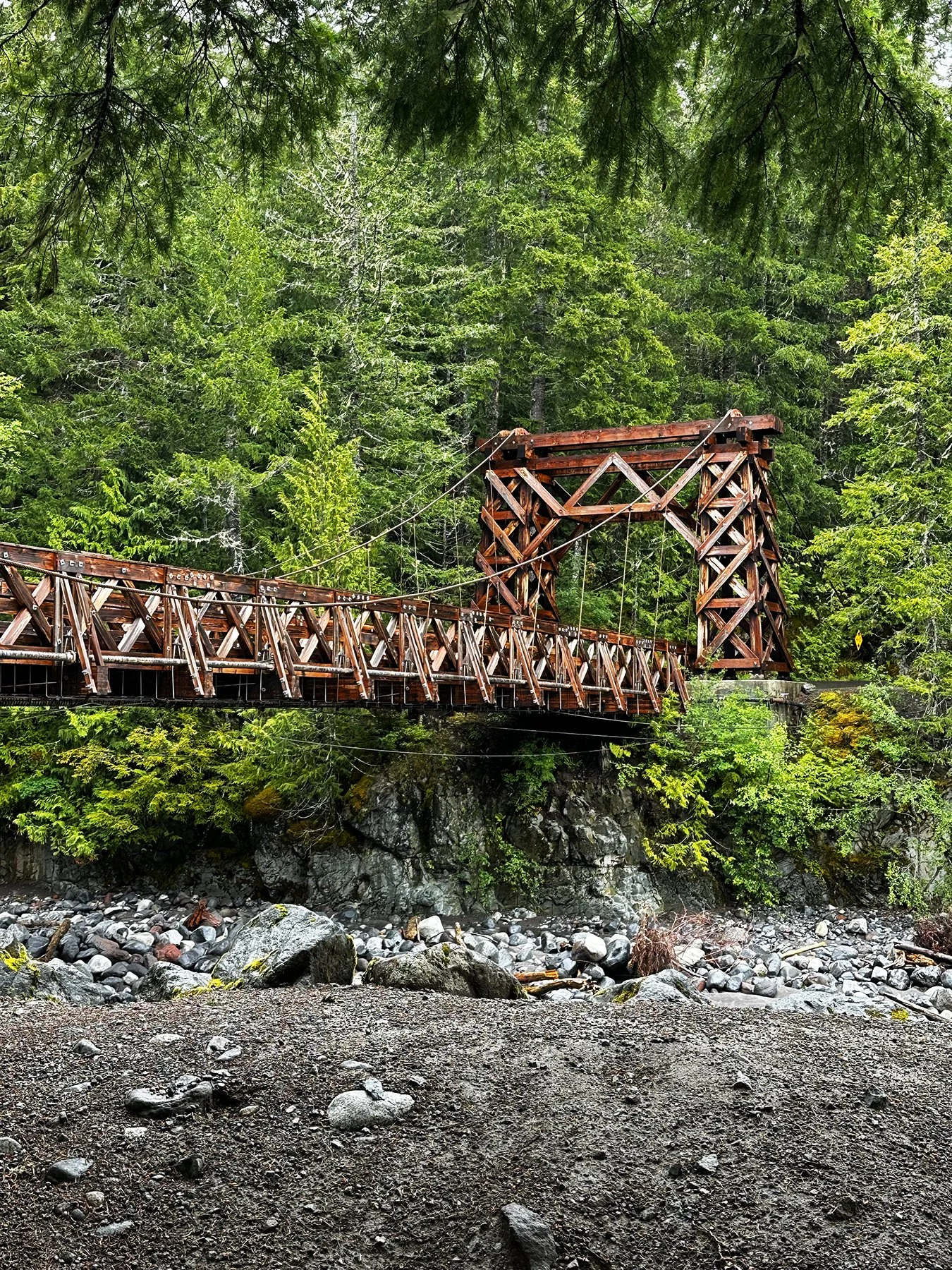
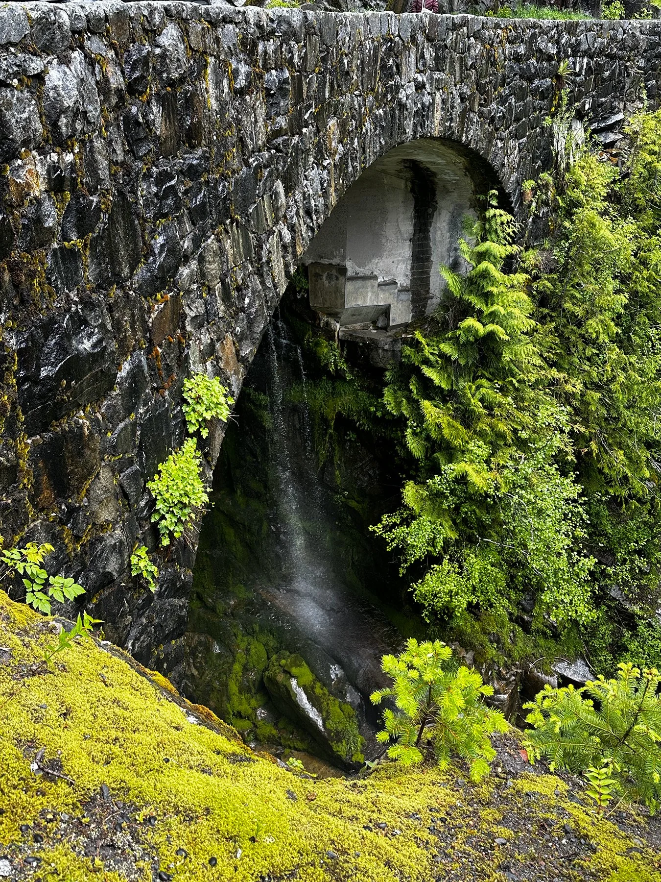
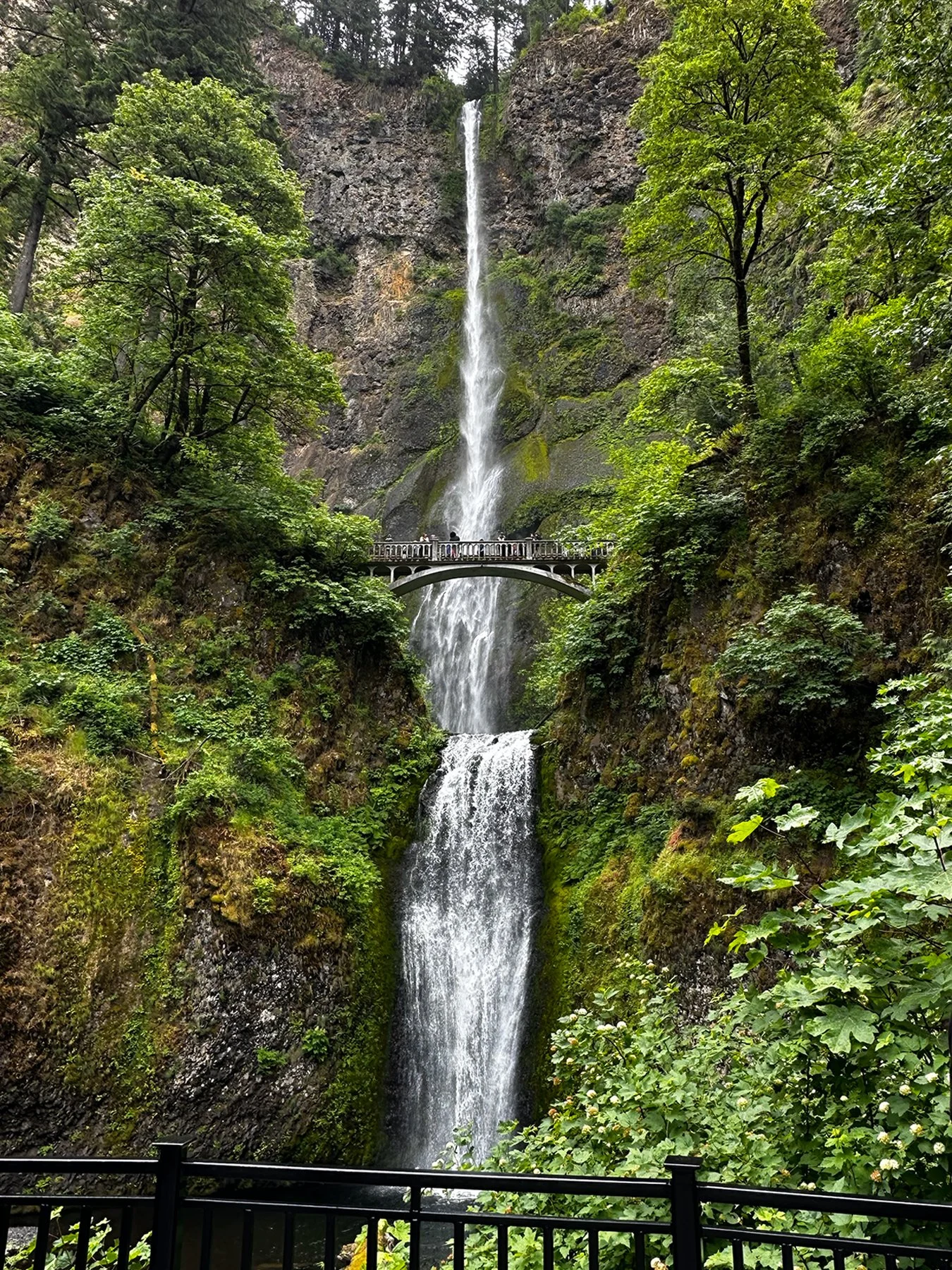
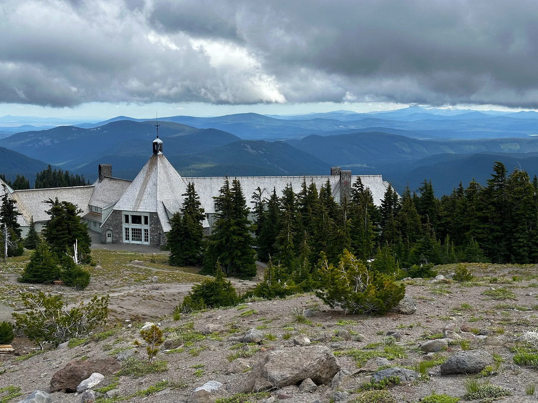
The Nisqually Suspension Bridge (below)is located in the Longmire area of Mt. Rainier National Park. It was built in the early 1920's to reach a planned automobile campground on the south side of the Nisqually River. This magnificent bridge is listed on the National Register of Historic Places as part of the Longmire Historic District. This achievement was due to the unique “NPS rustic” architecture, or "Parkitecture". ("Parkitecture" is a unique design approach that attempts to make buildings & structures appear as if they were meant to be in the natural spaces where they were built.)


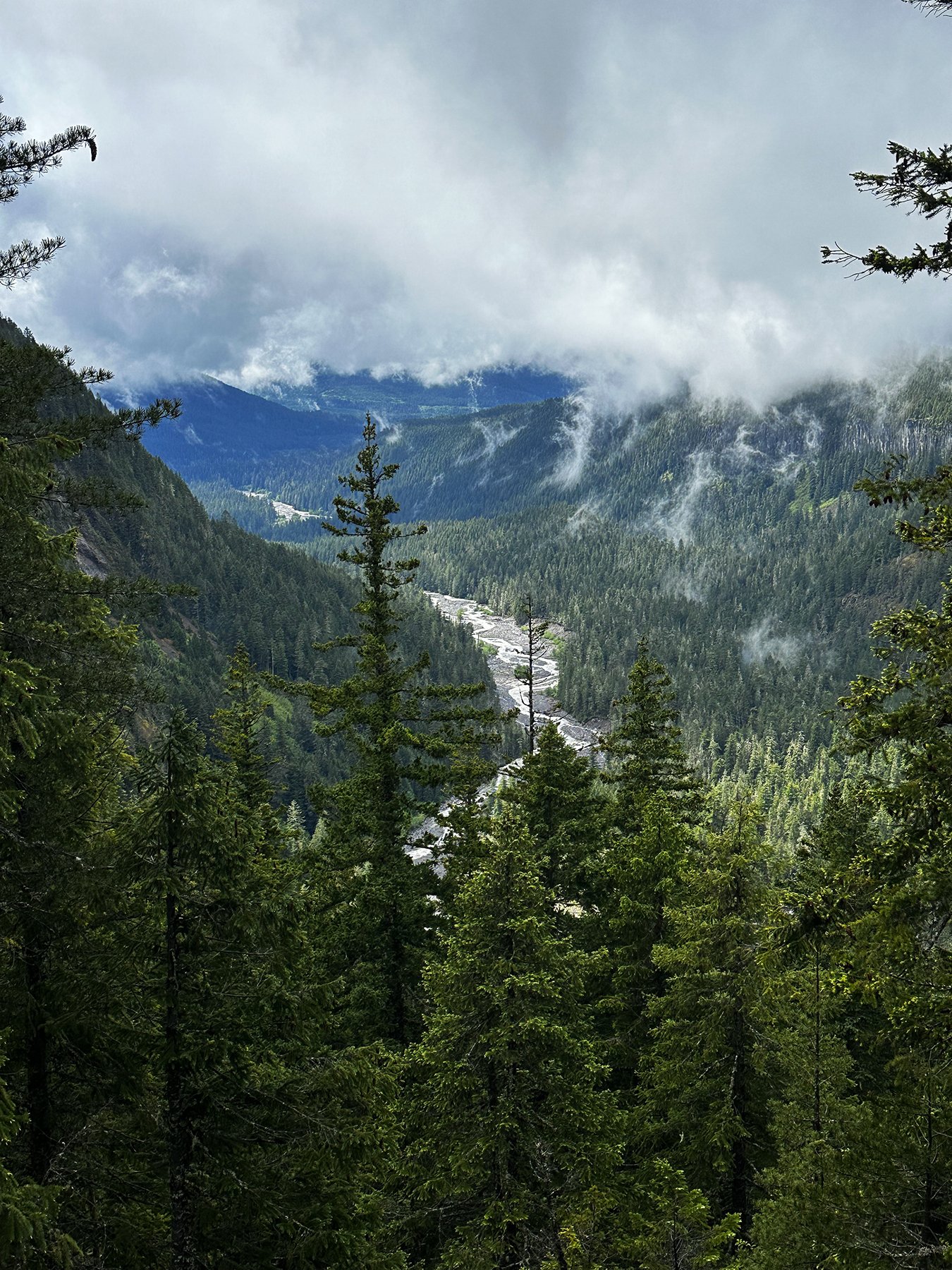
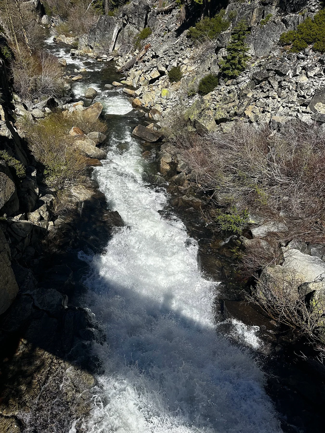
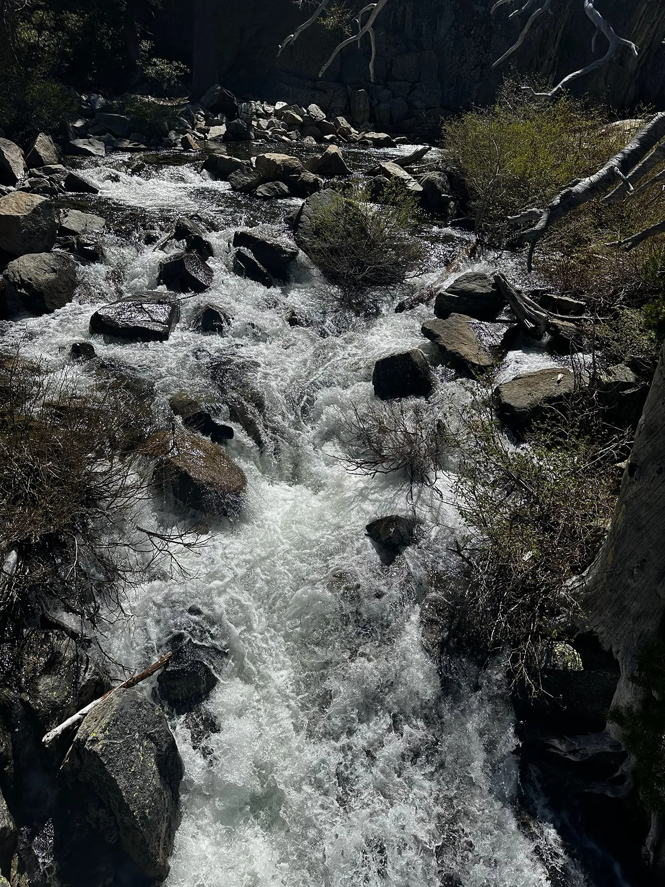
The foggy conditions leant an eerie quality to the magnificent foliage and water features. We stopped at every pullout to see what was to greet us around each corner. From ancient stone bridges to snow-covered hillsides, we traipsed through the off-and-on rain and gazed upon massive, powerful waterfalls. What a treat!


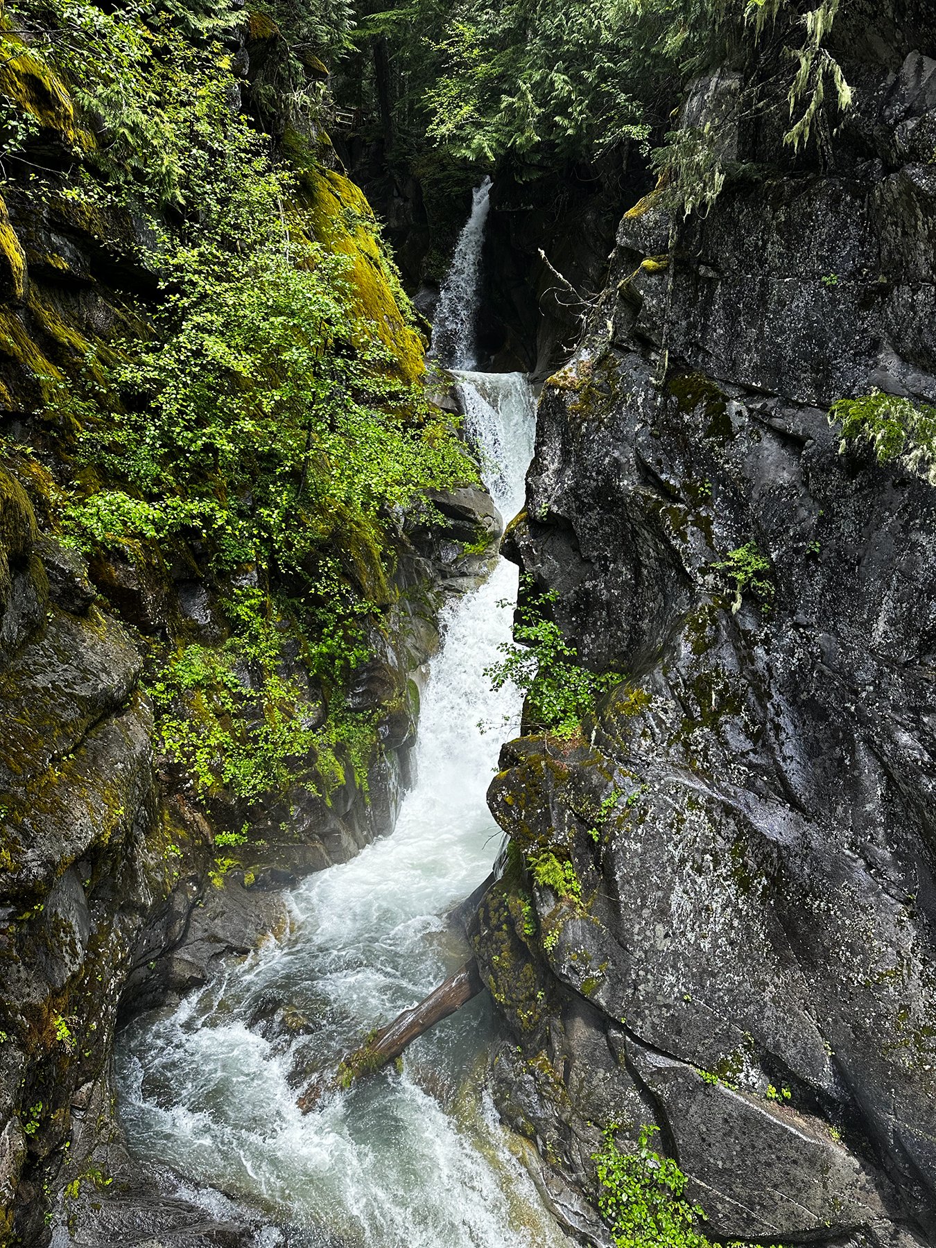


And then we discovered Box Canyon. Y’all, I just can’t. Box Canyon is a dramatic 180-foot deep, 13-foot-wide slot canyon carved by the glacier-fed Muddy Fork of the Cowlitz River. We approached it from an easy, 1/2-mile loop trail, stopping on a historic stone bridge directly over the chasm. The canyon is so narrow that you can peer straight down into the rushing, milky glacial water. You can also spot the striations on the exposed bedrock, left behind by historical glaciers. It’s 115 feet from the bridge down to the water’s surface.

All in all, we spent a fabulous few days around these iconic national treasures, and I will never forget its splendor!
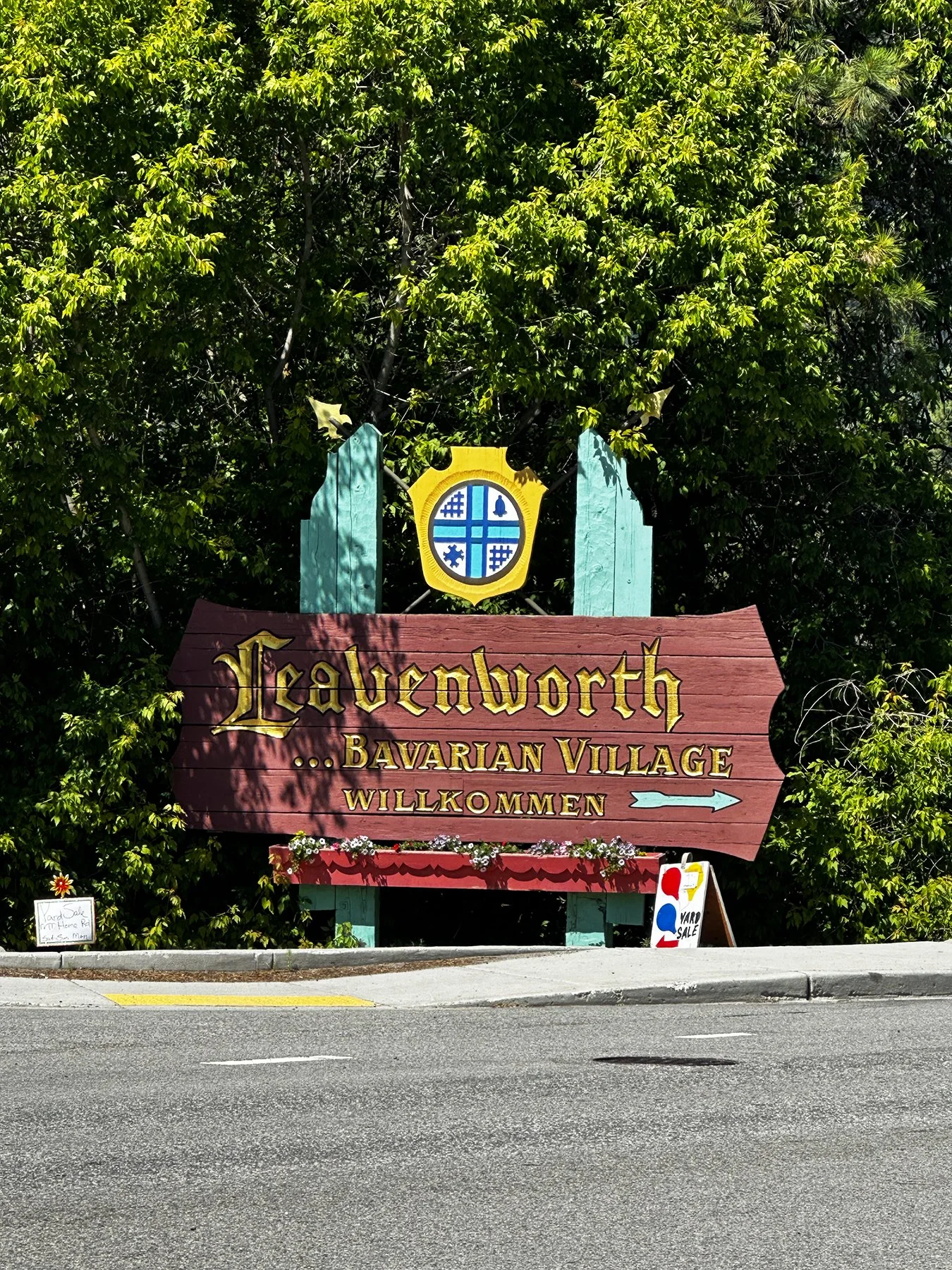
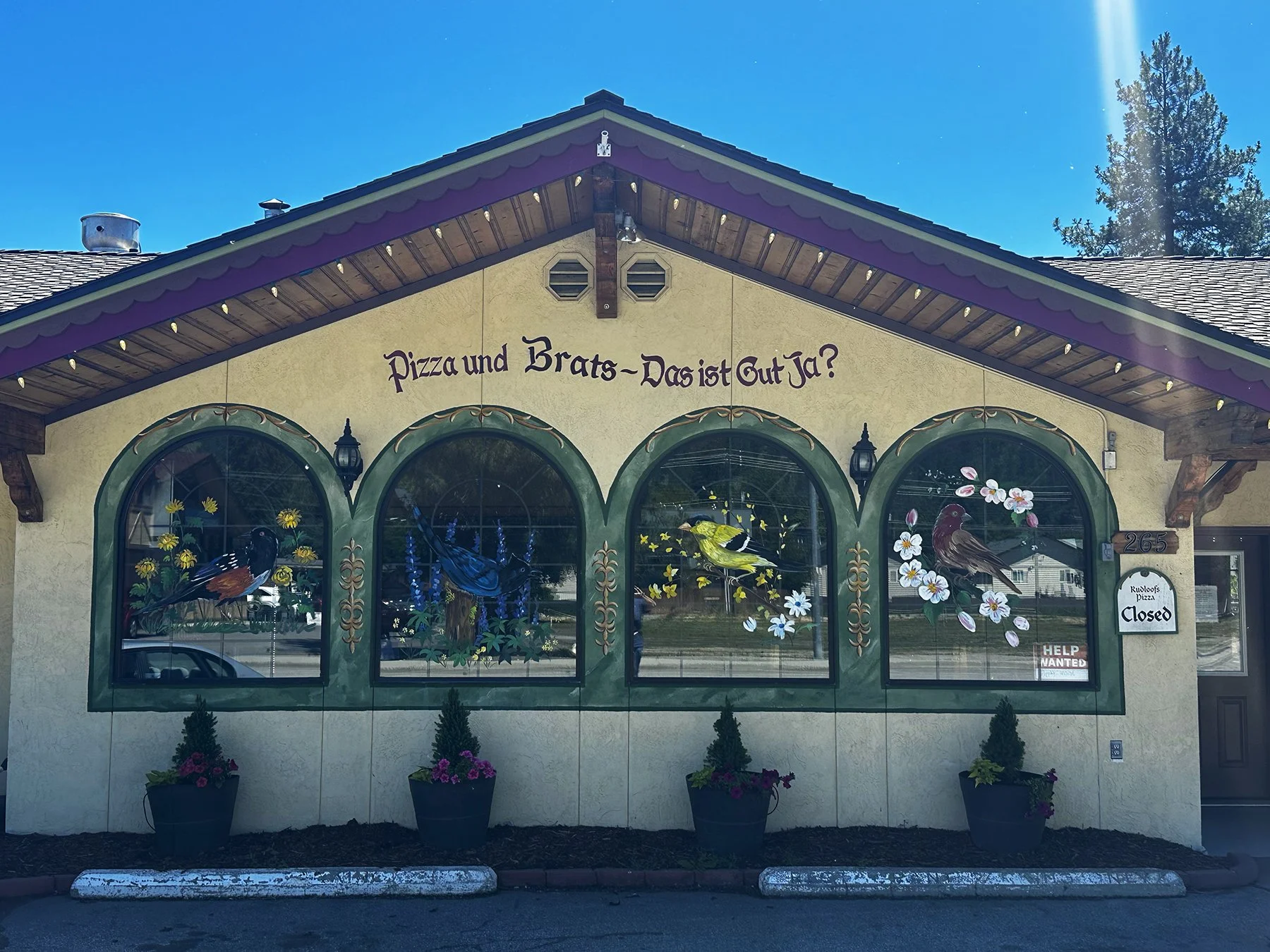
Bavaria in America?
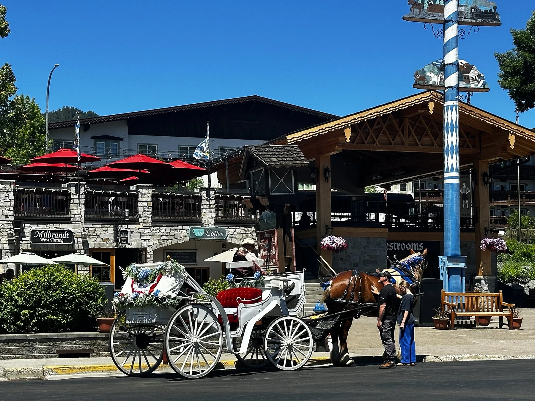
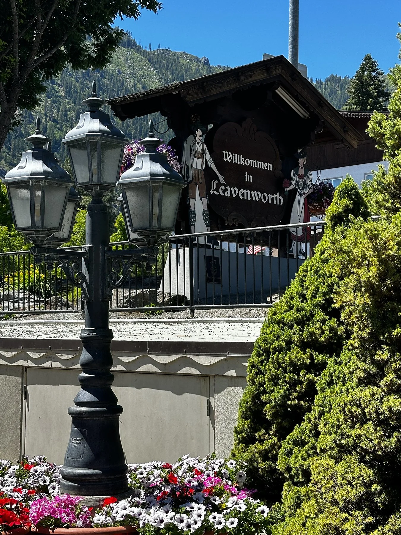
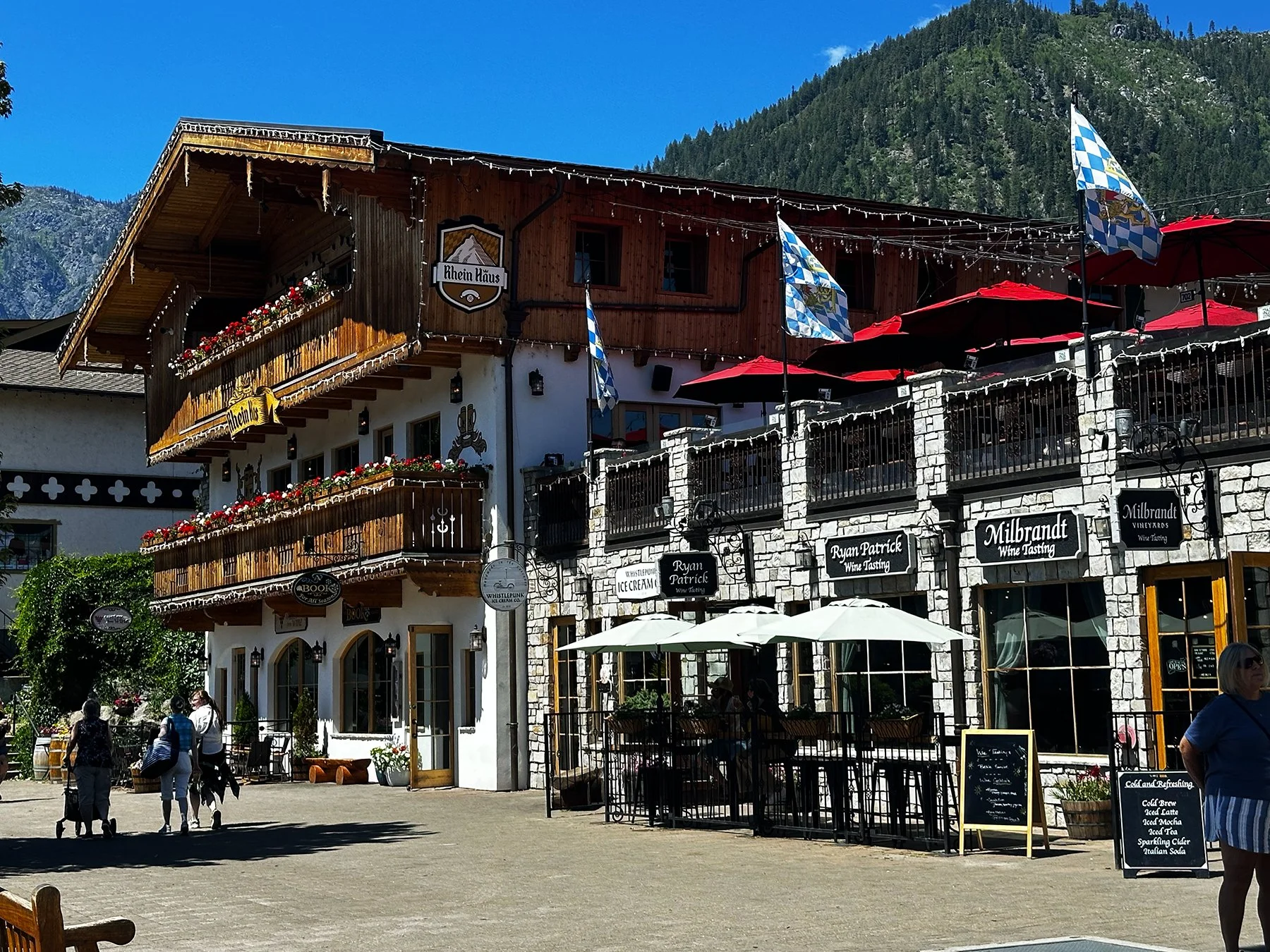
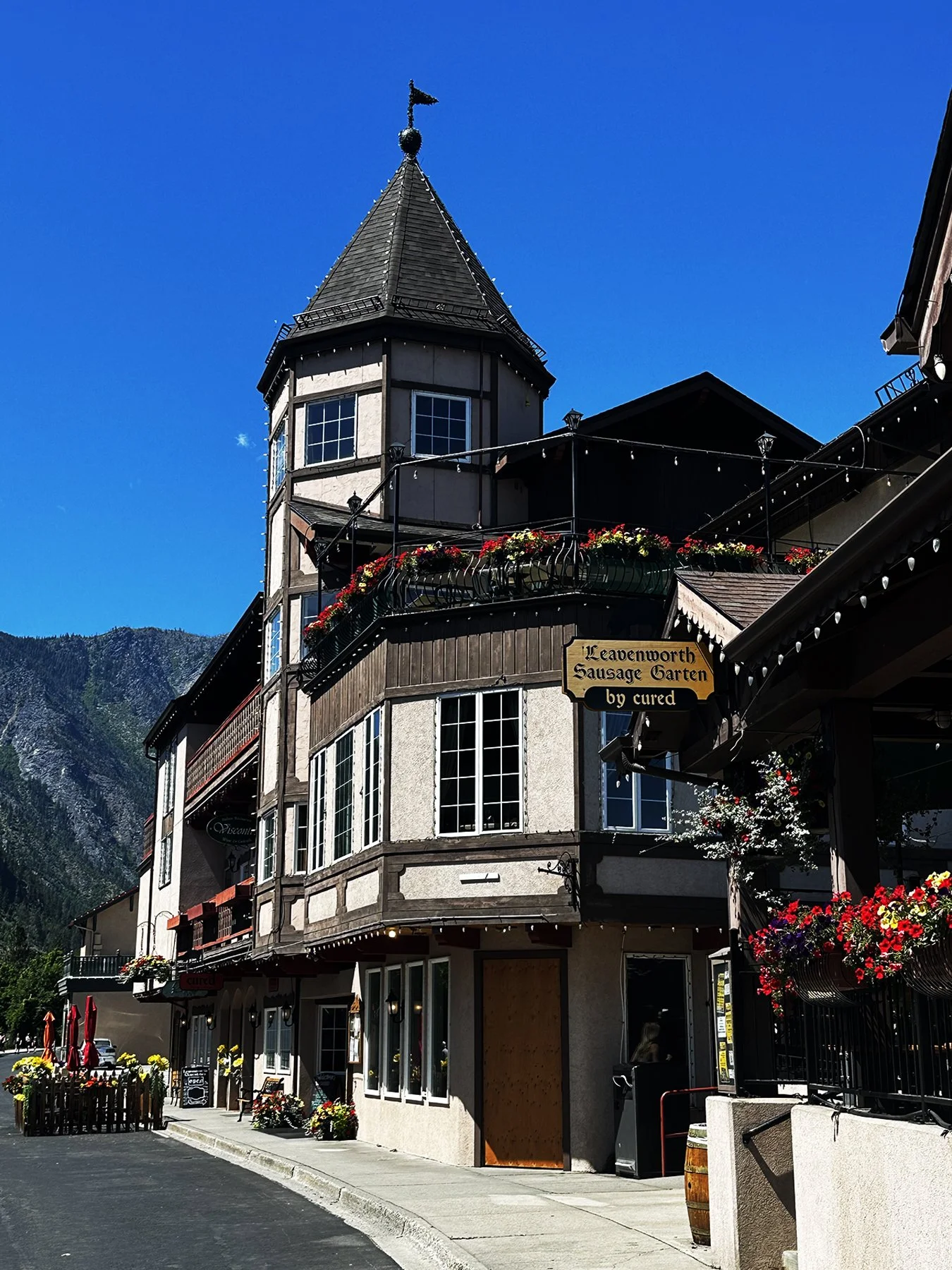
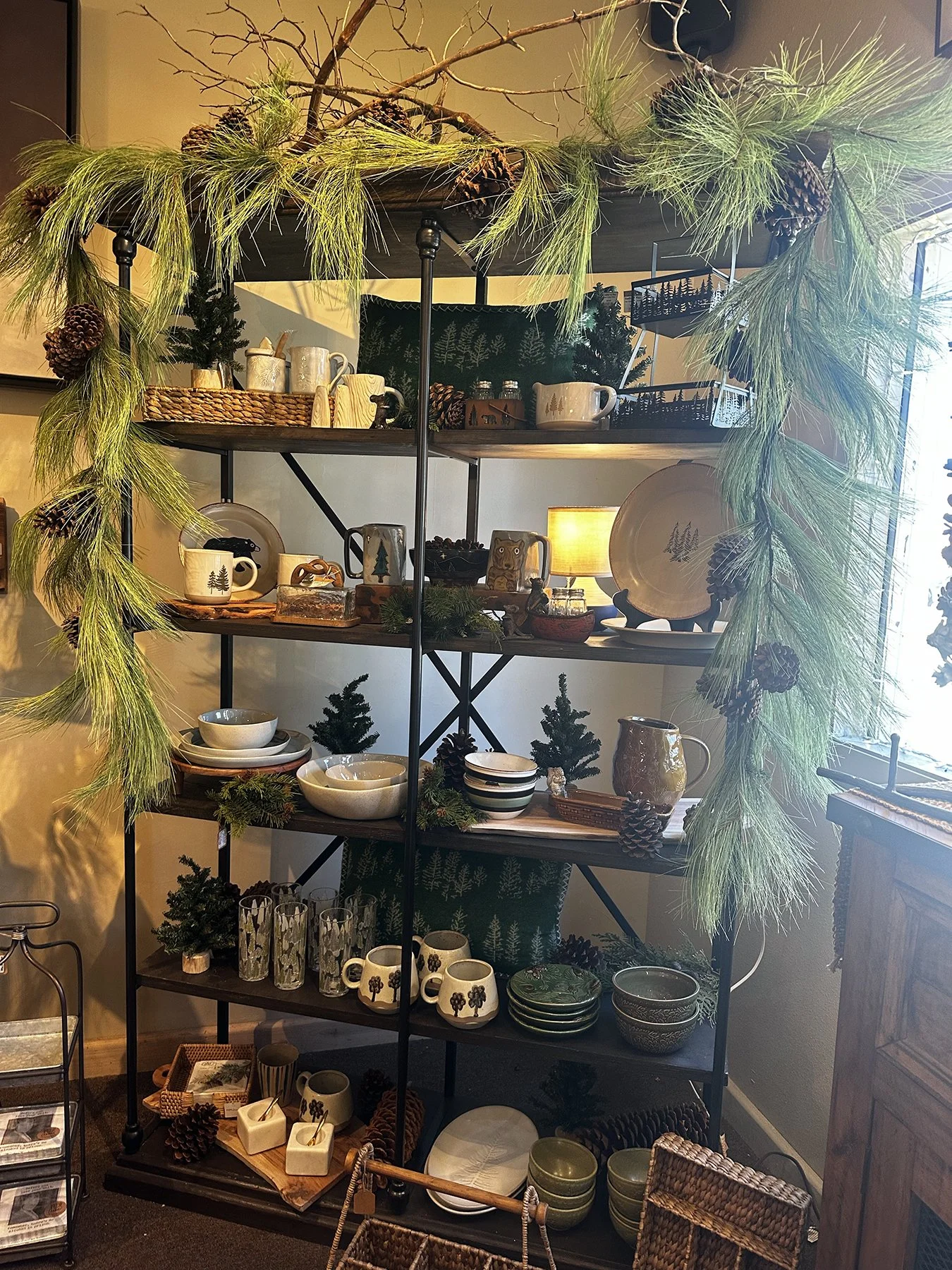
What a jewel we found northeast of Mount Rainier, just a couple of hours east of Seattle. I had read about this magical place called Leavenworth in a Travel & Leisure article about the best alpine villages in America.
Leavenworth’s history is quite interesting … it evolved from an Indigenous salmon-fishing site to a bustling railroad and logging hub. When the Great Northern Railway bypassed the town in the 1920s, the economy collapsed. As the railroad departed, major sawmills closed, plunging Leavenworth into a severe economic depression that lasted decades and threatened to turn it into a ghost town.
"Project Alpine" (1965): Facing total economic ruin, local business owners and consultants decided to capitalize on the town's stunning resemblance to the Swiss Alps.
Alpine Makeover: Storefronts and buildings were mortgaged and privately remodeled into an Alpine/Bavarian village to attract tourists.
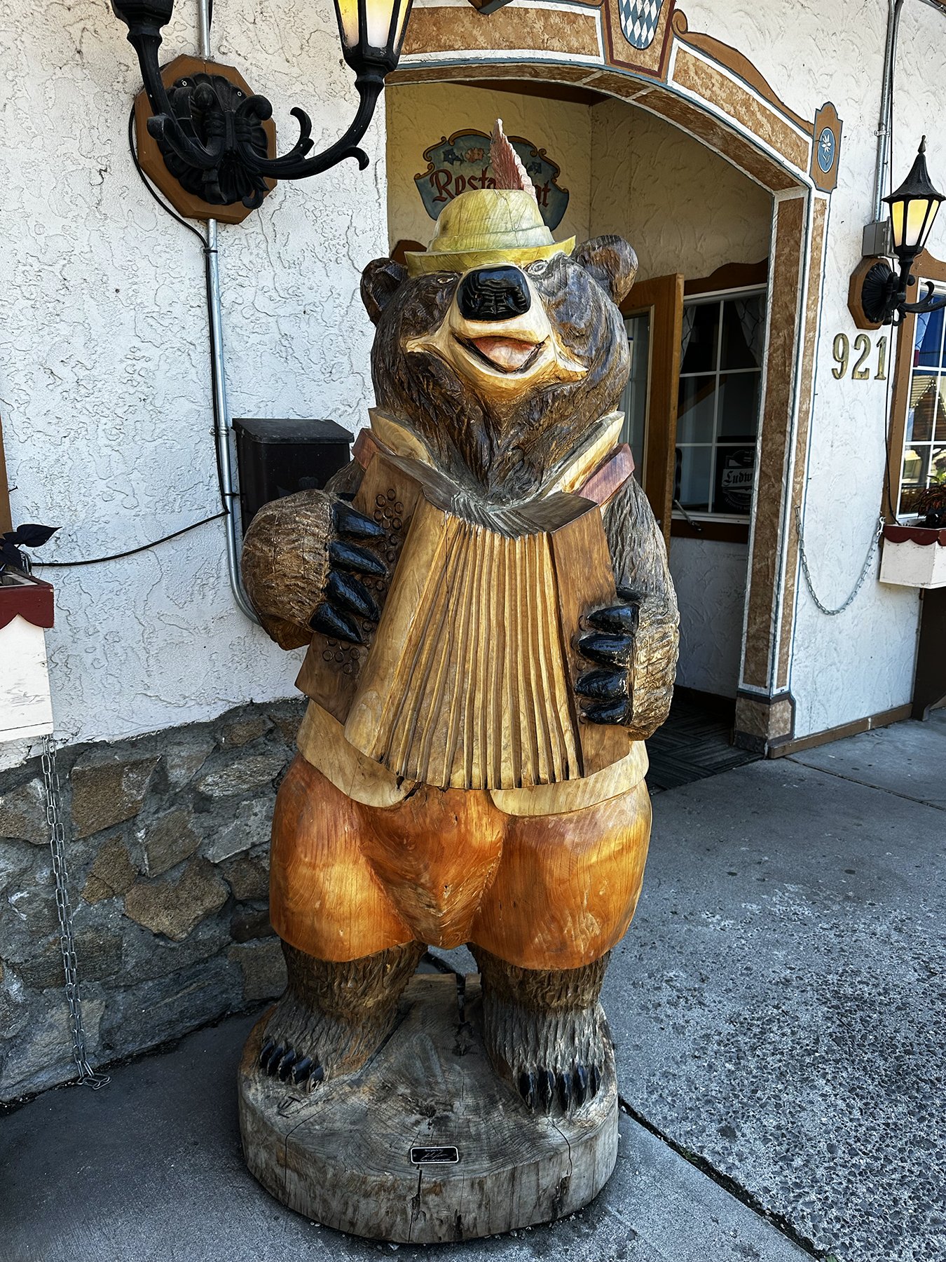
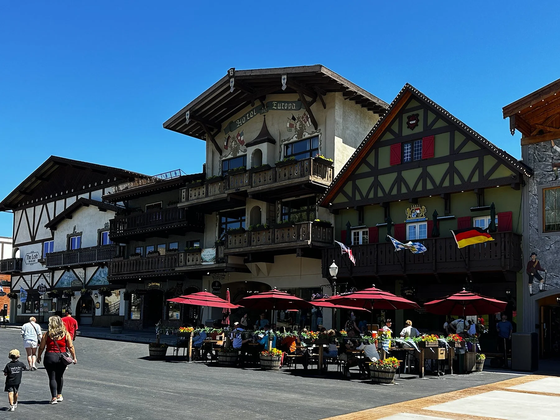
Sound a little kitschy? I thought so, too, but wanted to give it a chance. And I was not disappointed! The mayor and city leaders work hard to keep up with the cultural trends of the real Bavaria, and to create an experience that is unlike any other here in the States. I believe they did an exceptional job! If not for the fact that everyone spoke English and, quite frankly, were very American, you would think you were in Germany.
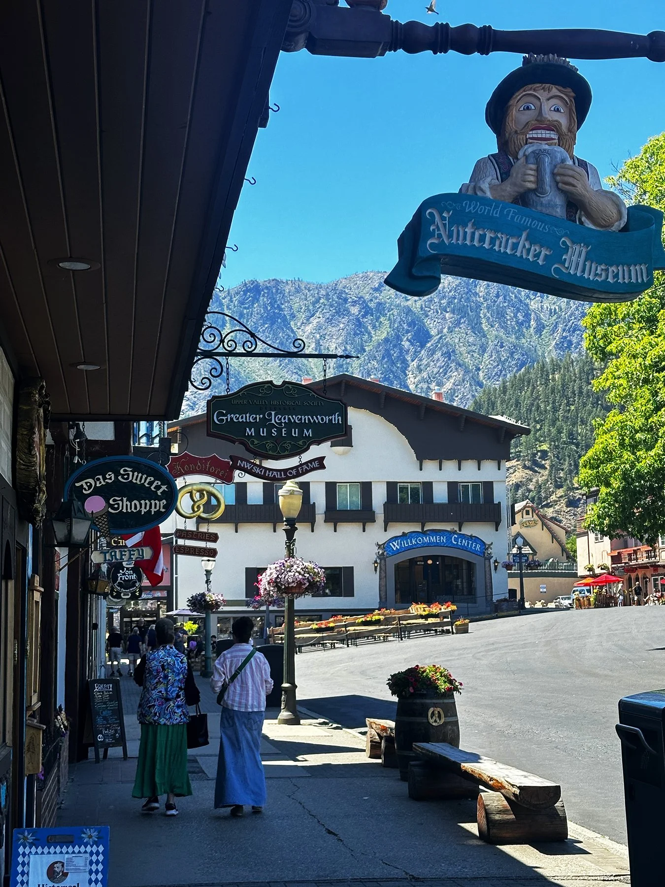
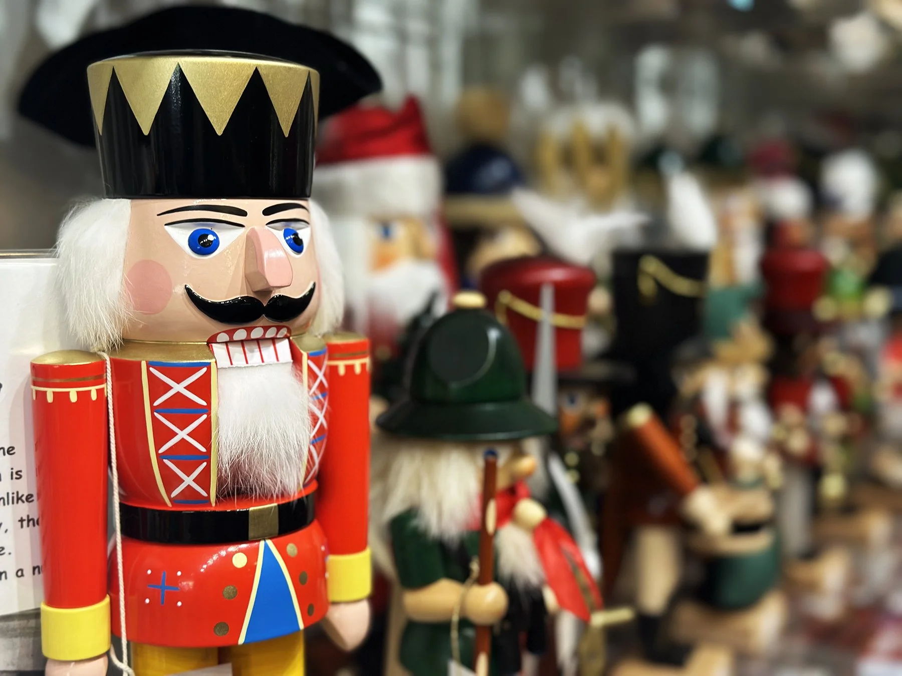
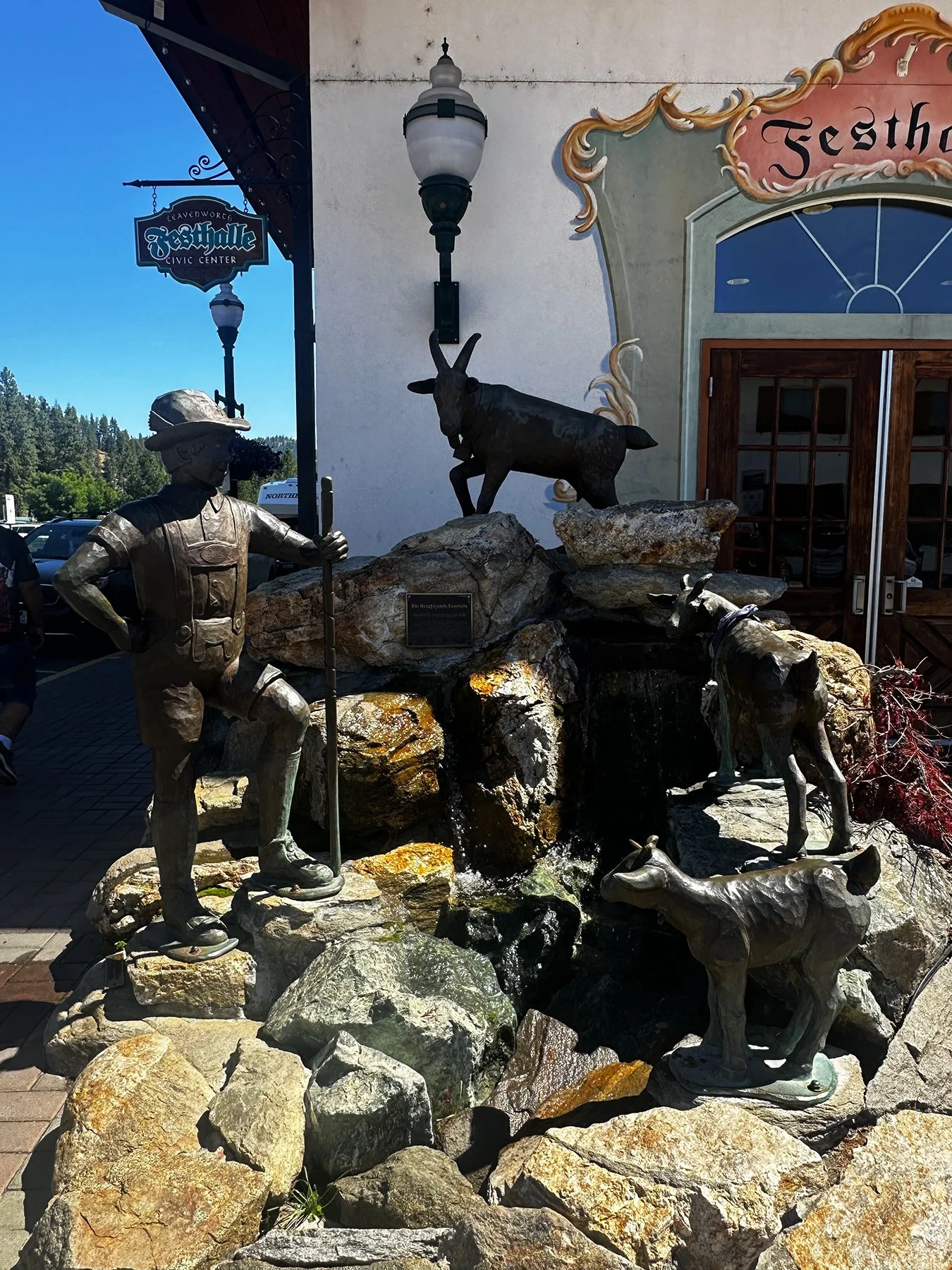
If you didn’t know—like I didn’t—“Bavarian” typically refers to the culture, language, or people of Bavaria (Bayern), the largest and historically distinct state in southeastern Germany. It encompasses a wide array of traditions, from distinct dialects to world-famous culinary exports. Here in Leavenworth, which is tucked into the beautiful Cascade Mountains, alpine-style buildings with restaurants serving German beer and food line Front Street along with Bavarian-themed bakeries, breweries, sweet shops, local arts and crafts shops and more. The Nutcracker Museum itself was mesmerizing, displays thousands of nutcrackers, some dating back centuries. The Wenatchee River also runs along the length of the town, with a beautiful accessible Waterfront Park where you might see ospreys and eagles. The village is also a gateway to nearby ski areas and wineries.


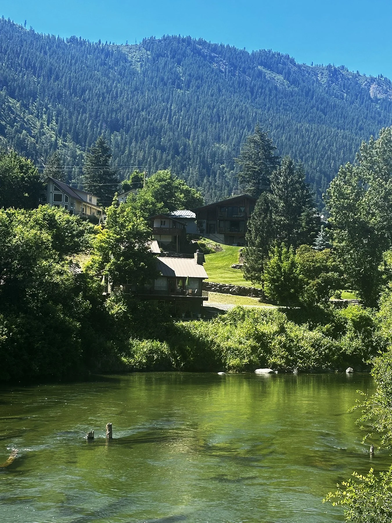

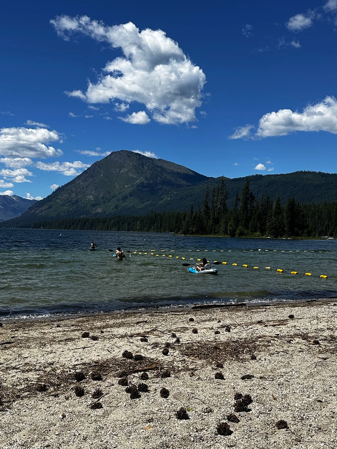
We also spent a day exploring Lake Wenatchee State Park, a 492-acre year-round montane park tucked into the Central Cascades just a short drive from Leavenworth. It offers direct access to a glacier-fed alpine lake, extensive camping, summer water sports, and winter Nordic ski trails. Features include a beautiful, roped-off sandy swimming beach with stunning, Switzerland-like mountain vistas, along with miles of gentle mixed-use trails that weave along the 5-mile-long shoreline, offering views of Emerald Island and Dirty Face Mountain. This is my kind of place!


I can’t wait to come back and visit during the Christmas holidays, where the city transforms into a wonderfully lit winter wonderland. (“Lit” both literally and figuratively ;-) From the photos I’ve seen, it’s like living in a Hallmark Christmas movie! LOL. This is what the Chamber of Commerce has to say about it:
The Leavenworth Village of lights turn on at Thanksgiving and stay lit through Valentine’s Day! When the Christmas lights are up it gives this slice of Bavaria an unbelievable radiance that is guaranteed to get you into the holiday spirit. What is Christmas in Leavenworth like? It’s a Bavarian-style Christmas that is fun for the whole family and filled with Trachten and Dirndells. This much-loved and popular Pacific Northwest tradition features wonderful and authentic Bavarian foods, handmade arts and crafts, as well as other local gifts. A winter getaway in Leavenworth has to include this family-friendly Christmas-themed Bavarian Village.
Below are some photos I found online about Leavenworth during the holidays (“Christmastown”).
I’d love to go back and go skiing, snowmobiling, snowshoeing and everything else you can do in a winter wonderland. Who wants to join me?


Eugene (a.k.a. TrackTown, USA)
This road trip has been absolutely amazing! I really enjoy discovering and exploring new places. Honestly, I think the biggest challenge this time around has been adapting from quiet, scenic environments to noisy, crowded cities. Not complaining, mind you, just observing that my mindset switch seems to slow down as I get older!
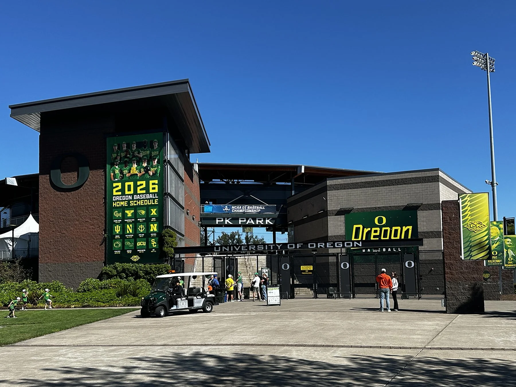
After exploring the wild, rugged beauty of the Oregon Coast, we headed inland to visit Eugene and Portland. Since I had never been to either city, I was eager to see what each had to offer. My main reason for stopping in Eugene was the University of Oregon campus. I’ll always be a Vol and a Longhorn, but I’ve long admired the Oregon Ducks from afar. When we arrived on campus that Saturday, I expected it to be quiet. Instead, as we turned the corner near the famous Hayward Field, we found it packed with fans. Knowing the NCAA Championships were still a couple of weeks away, I was surprised to learn the crowd was there for the state high school championships. It was a fun surprise to see so many people coming and going around the event, and all the cheers coming from inside the stadium.
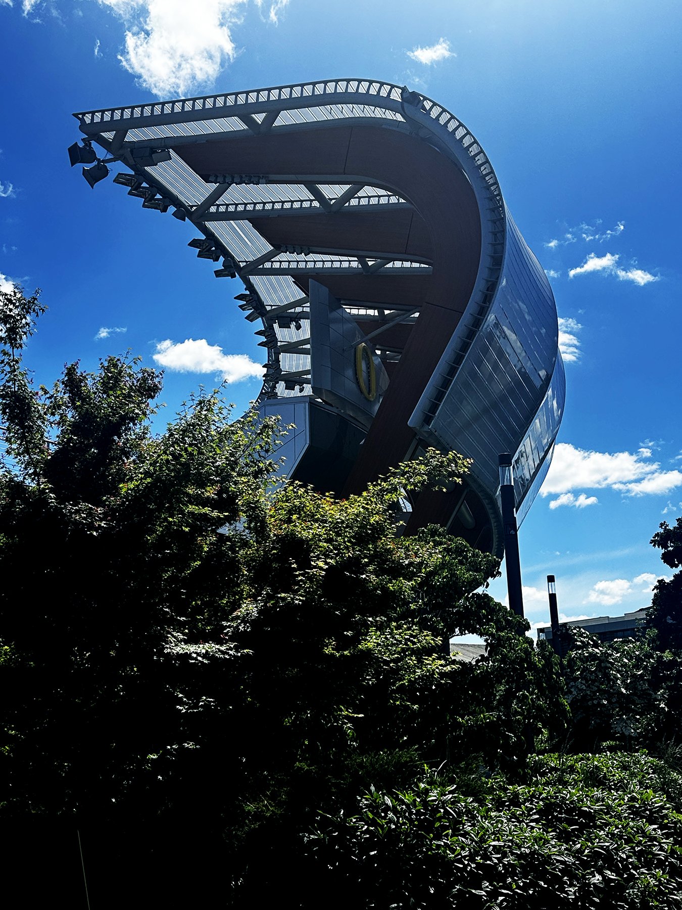
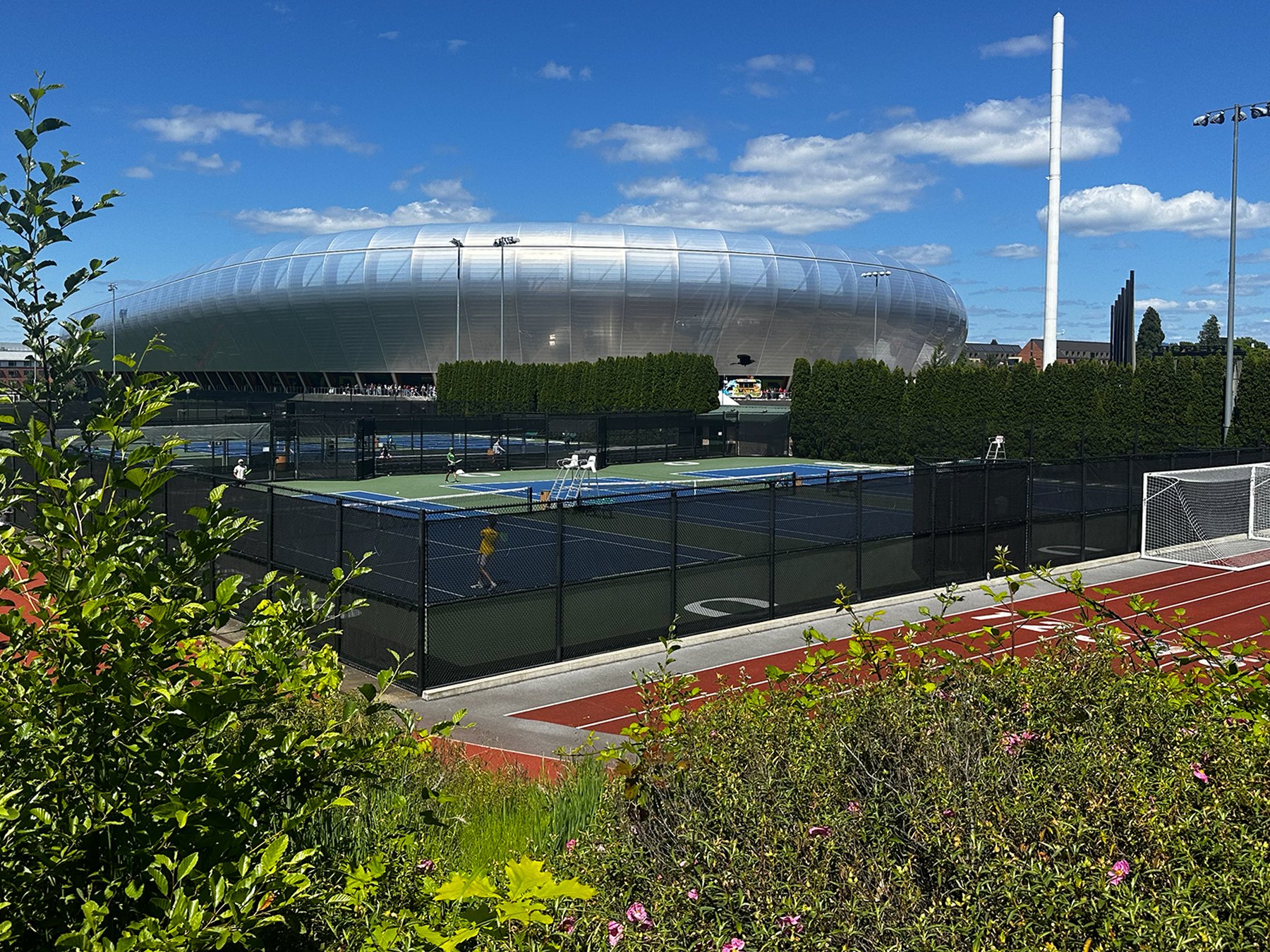
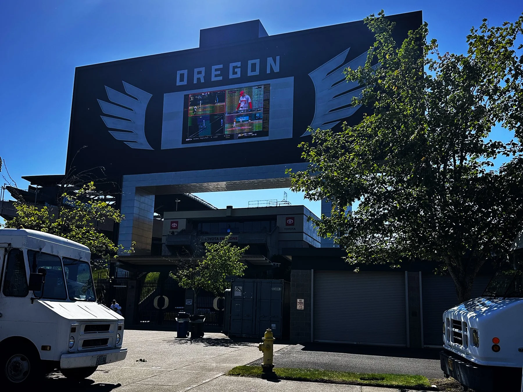
Knowing that I planned to return to campus for a walkabout a couple of days later, I decided to head to the football stadium—one of my favorite things to do, if you’ll recall! Little did I know it was about a mile-and-a-half walk over the river and through the woods to get to it! I promise I’m not exaggerating. But the whole area is so beautiful and, much like in Austin, many people were spending lots of time outdoors engaging in various recreational activities—biking, hiking, etc. So the long, beautiful walk to the stadium ended up being a nice surprise. The baseball stadium is also on that far end of campus, next to the football stadium, and it just so happens that the Oregon baseball team was one of the NCAA Regional hosts and were playing that evening, so of course we crashed some tailgates!


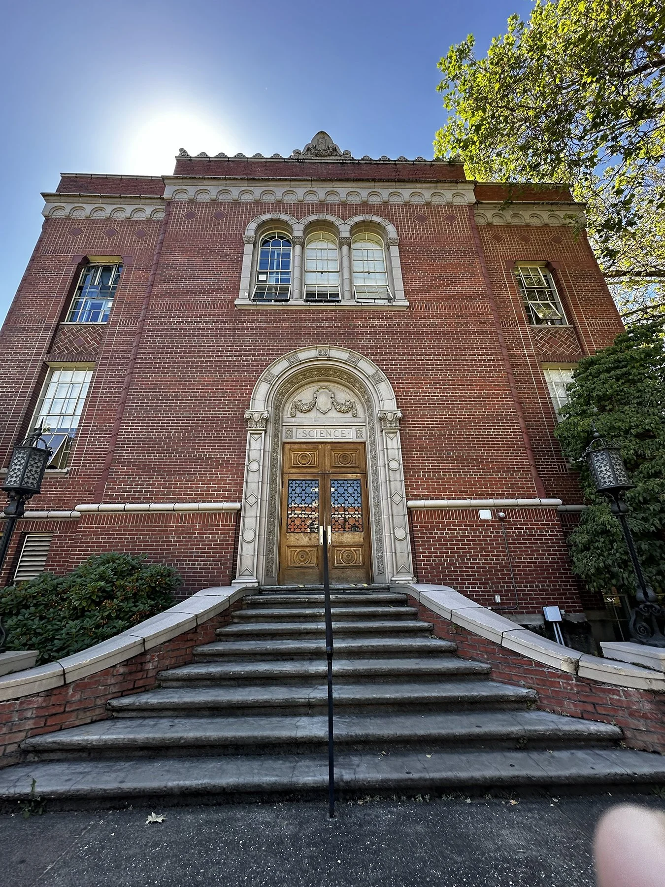
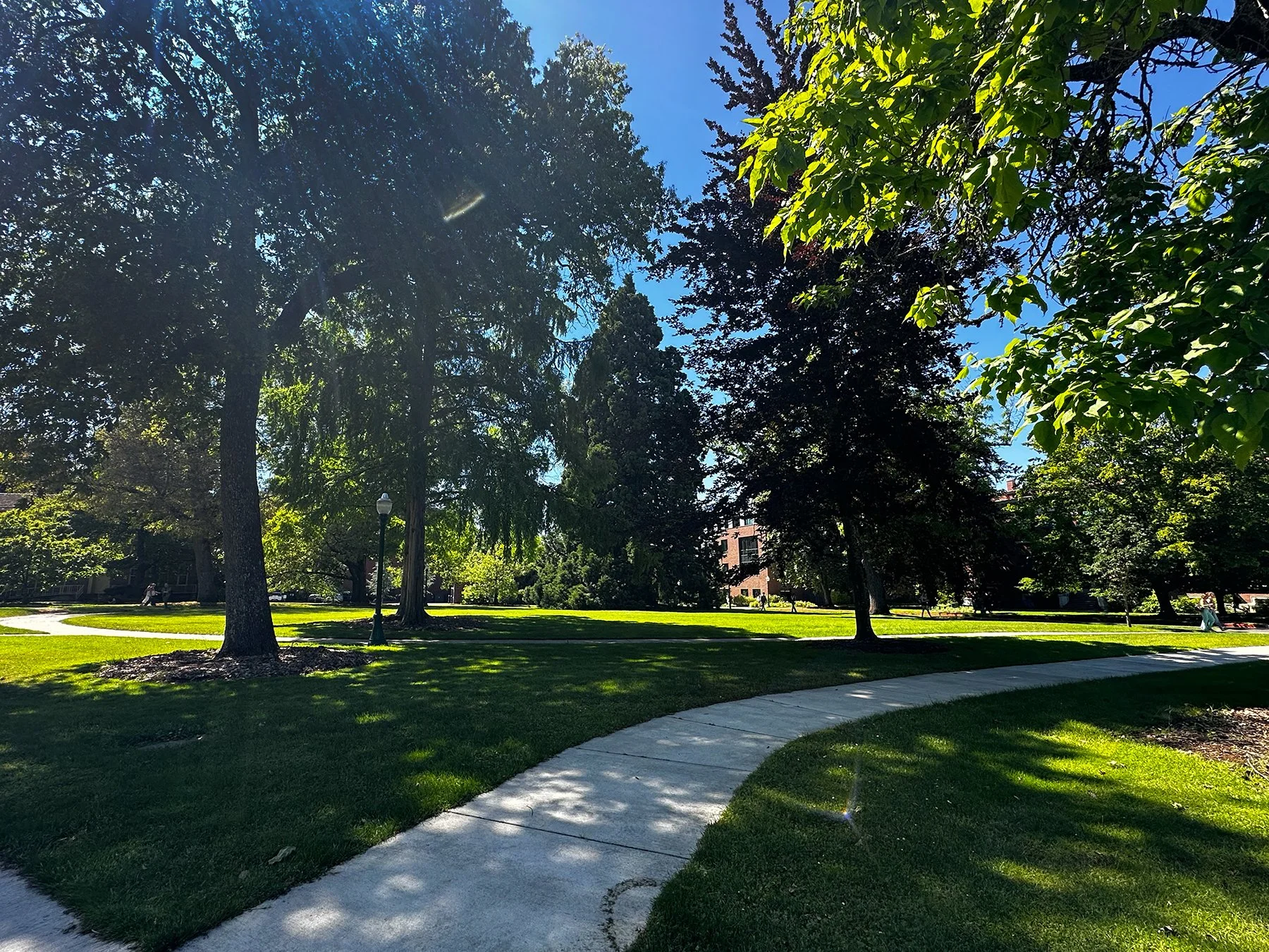
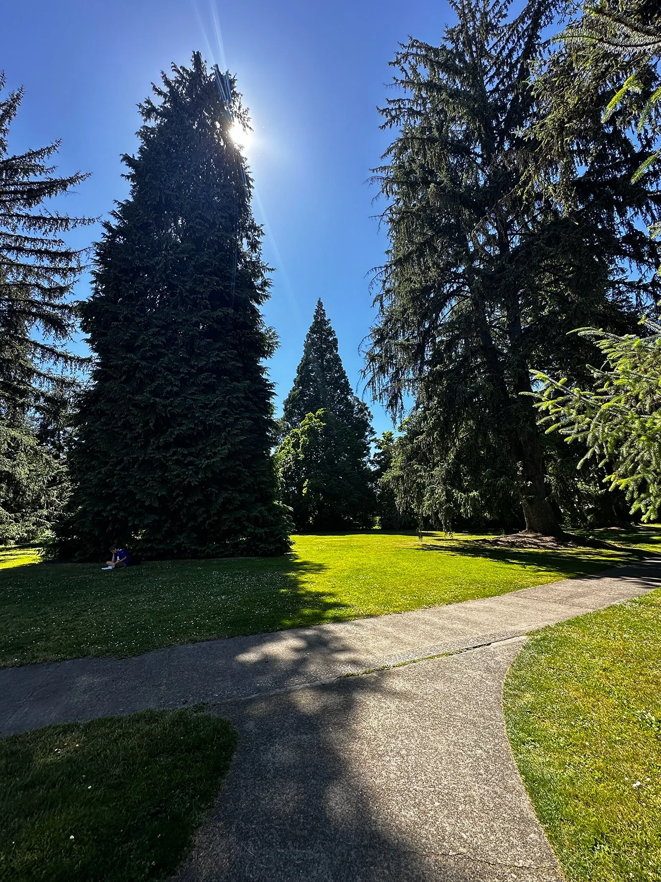
It also turned out that even though it was almost June, the college students were still in classes, with graduation not taking place until June 15. So when Maisie and I returned to campus on Monday, students were scattered about, rushing to class or studying on a quiet bench. Many enjoyed seeing Maisie and loved on her (of course!). It really is a beautiful campus, mostly because it is just so green and lush! Lovely courtyards, humongous evergreen trees, and a laid-back vibe completed the picture.

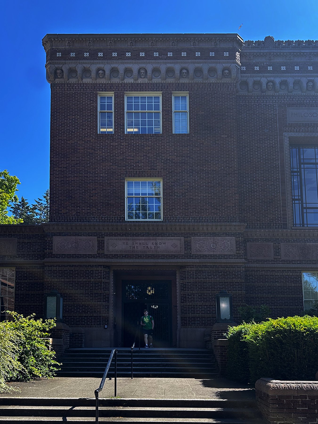

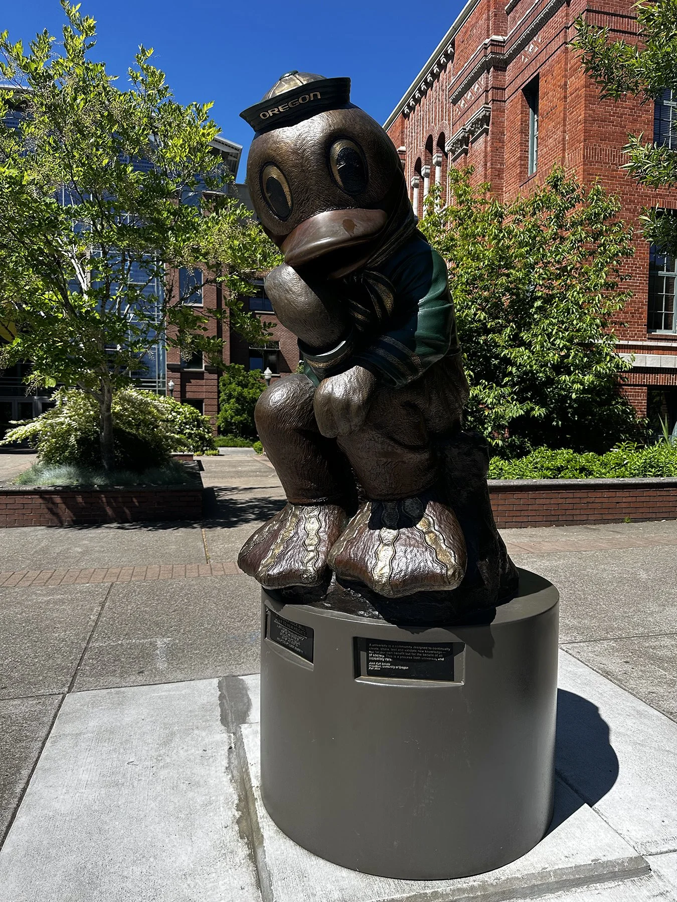

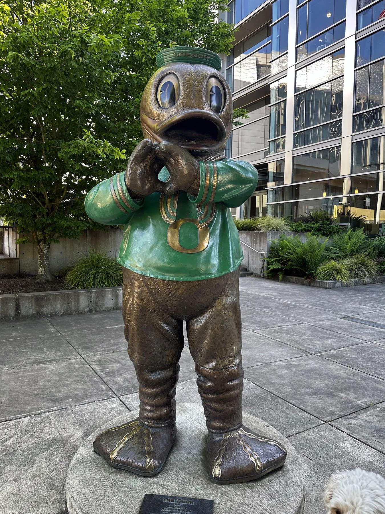

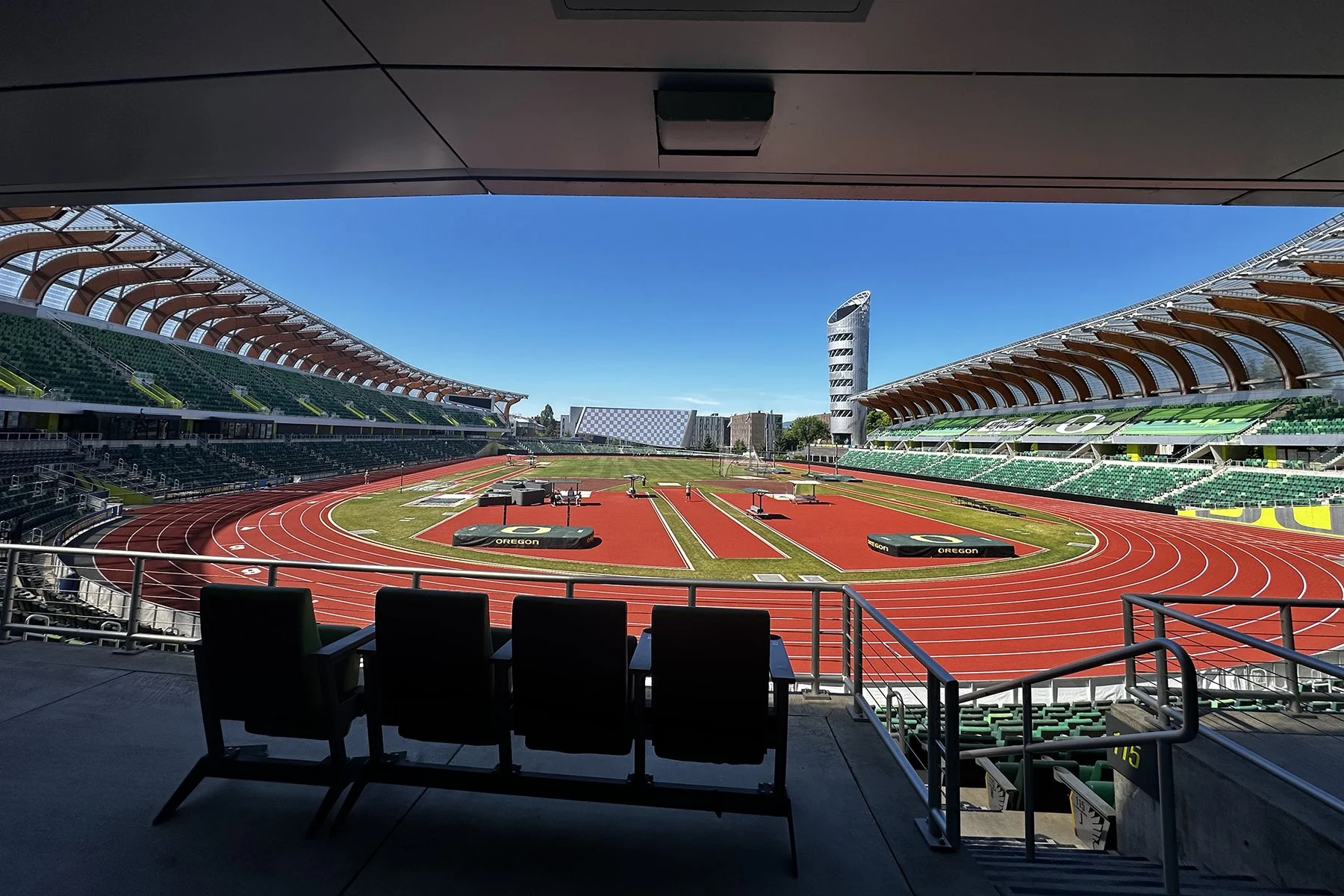
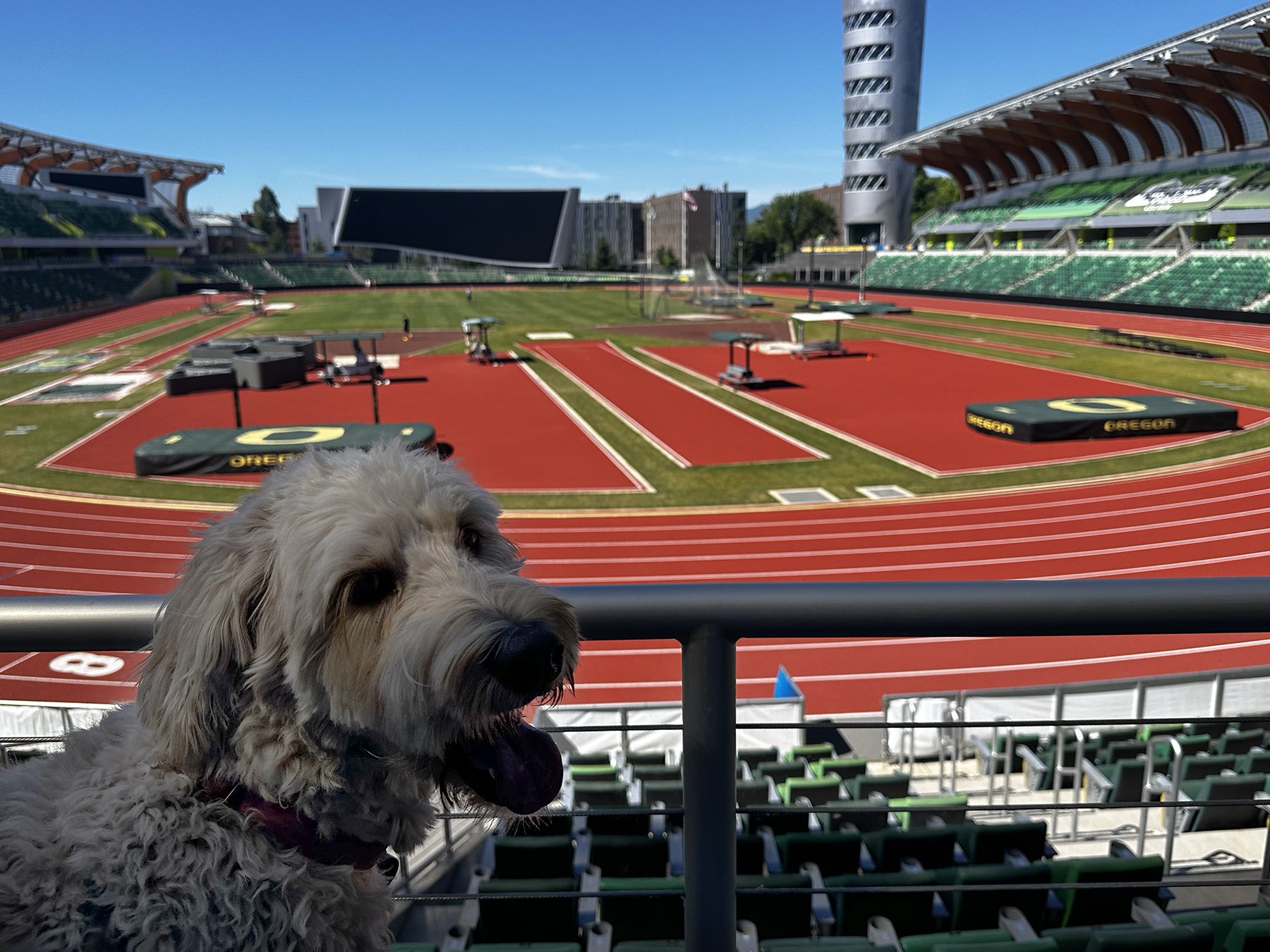
You may remember from some earlier blogs that when given the chance to enter a stadium of some sort, I’m all over it. Even if I have to jiggle loose a padlock, or sneak through a not-quite-closed gate! So when we returned on Monday, I found such a gate at the aforementioned track stadium. Maisie and I took our own self-guided tour :D. Noone seemed to care, LOL. In case you don’t know, Hayward Field is a world-renowned track and field stadium on the Oregon campus. Affectionately known as the heart of "TrackTown USA," it is one of only three World Athletics Class 1 Facilities in the U.S. You’ll see in some of the photos the iconic ‘Hayward Tower’, a massive nine-story landmark tower at the main entrance, which features an observation deck and floors dedicated to celebrating the university’s Olympic gold medalists. I didn’t want to test our luck, so we just admired it from the outside :D.


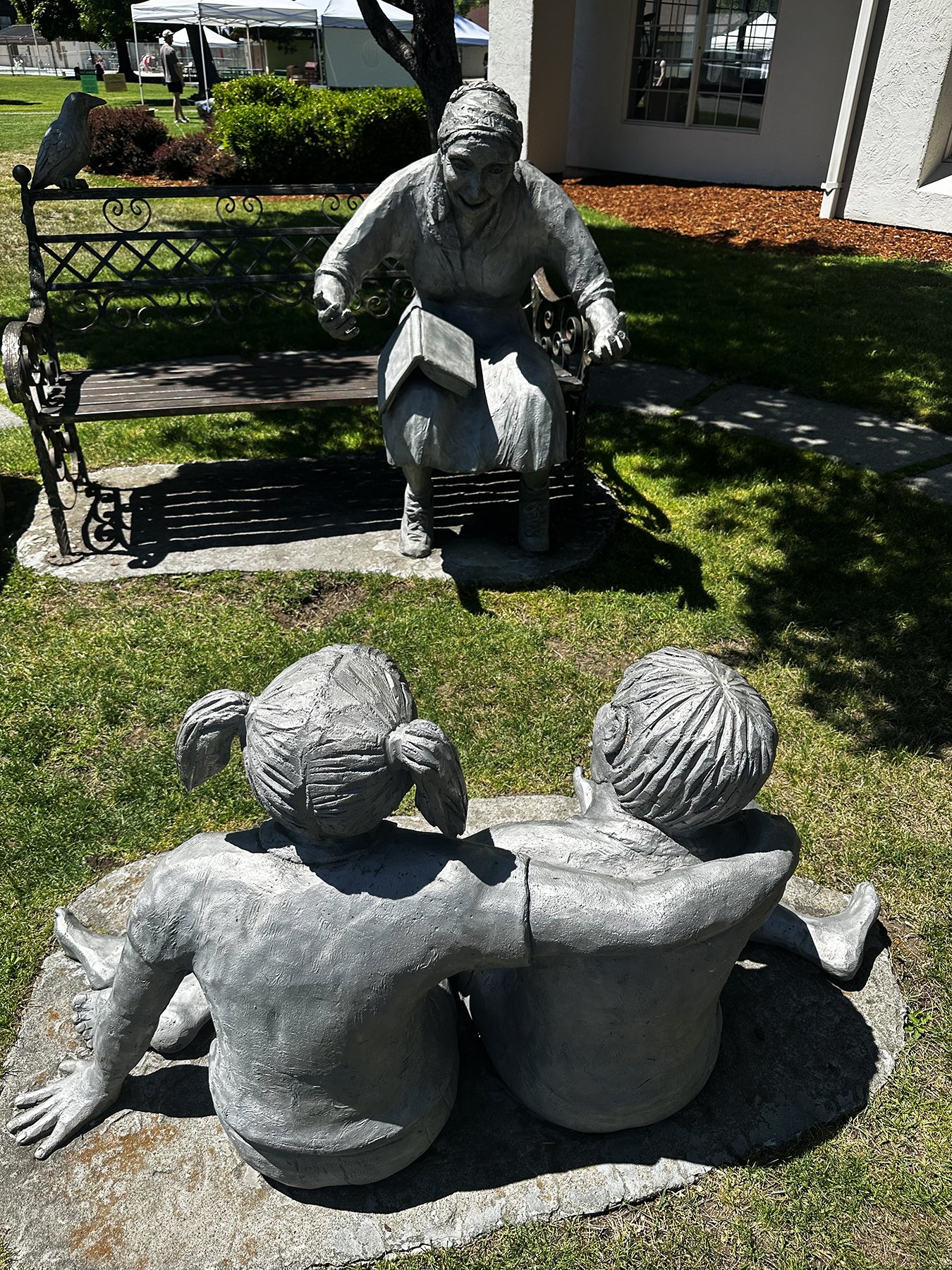
We also had to check out a few funky Eugene-ish things, starting with a farmer’s market downtown. It reminded me a lot of old-school Austin; lots of tie-dye, organic produce, jewelry, glassworks, pottery, art. It felt like the old Pecan Street Festival back in the late 80s and early 90s (IYKYK – If You Know, You Know)!


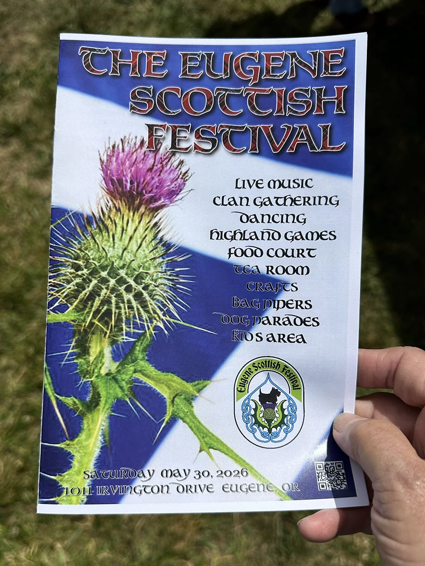
Next we were off to the Eugene Scottish Festival. Because … why not? And what a hoot it was! I was fascinated by the Highland Games demonstrations—if you’ve never seen them in person, I encourage you to check them out! They also had Scottish fare, music (bagpipes, of course, and more), and even a real Highland cow. My family’s heritage is almost entirely Great Britain, as was Michael’s, so it was fun finding items with our family name, tartan and crest. I even found a booth that will pull up the history of a given Scottish name, and print that out along with the crest. My mom had done a tremendous amount of genealogical research—mostly before the internet was available—and when it came time to name our second child, we used her research to find a name on her family side. Lo and behold, “McKamey/McCamey” was the name of her Great (x5) Grandmother!
We also participated in a dog parade at the festival, because … well, again … why not?!


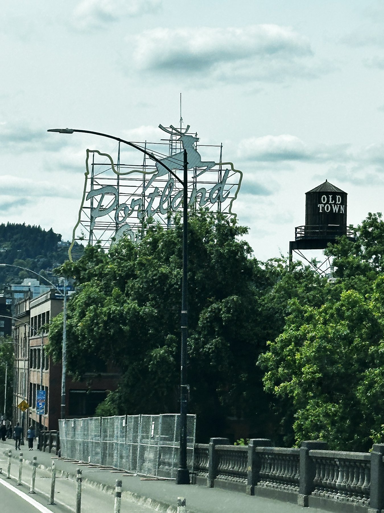
The City of Roses

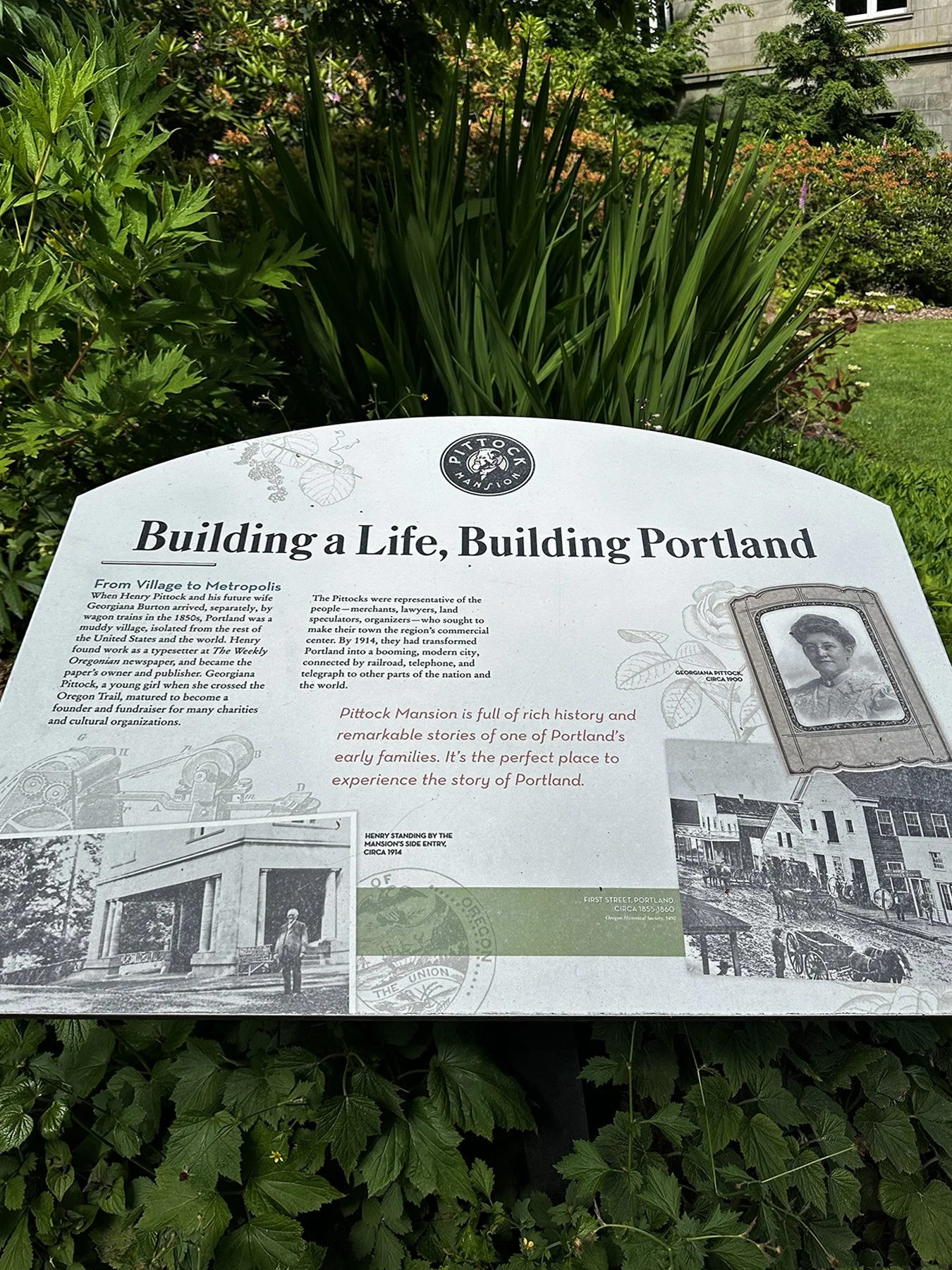
Our next new city to explore was Portland. According to sources, Portland, Oregon is famed for its quirky, eco-friendly culture, stunning natural beauty, and progressive arts scene. It's a paradise for foodies, bookworms, and outdoor enthusiasts, boasting a world-class craft beverage industry, massive urban parks, and the famous motto "Keep Portland Weird." Sound familiar, Austinites? (They do admit “borrowing” that phrase from Austin.) I found so many parallels between Portland and Austin. Boasting similar populations in their respective metropolitan areas (Austin recently bumped Portland out of the top 25 of city sizes in the U.S.; sorry!), Portland’s habitants are much more packed in, making it feel a bit more crowded. The downtown area is much like any other large city. Interestingly, almost half of Oregon's population resides within the Portland metro area.
Though much of downtown Portland is relatively flat, the foothills of the Tualatin Mountains, more commonly referred to locally as the "West Hills", pierce through the northwest and southwest reaches of the city. AND THE PARKS! Y’all, the urban forests contained within the city limits are truly remarkable.
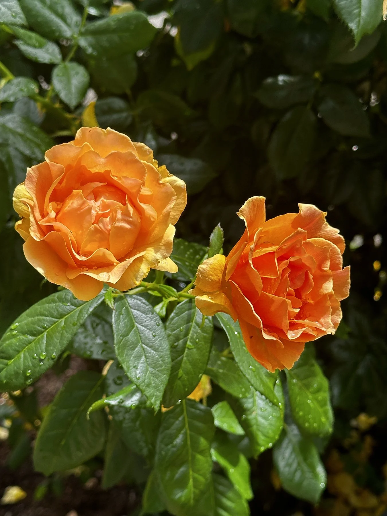
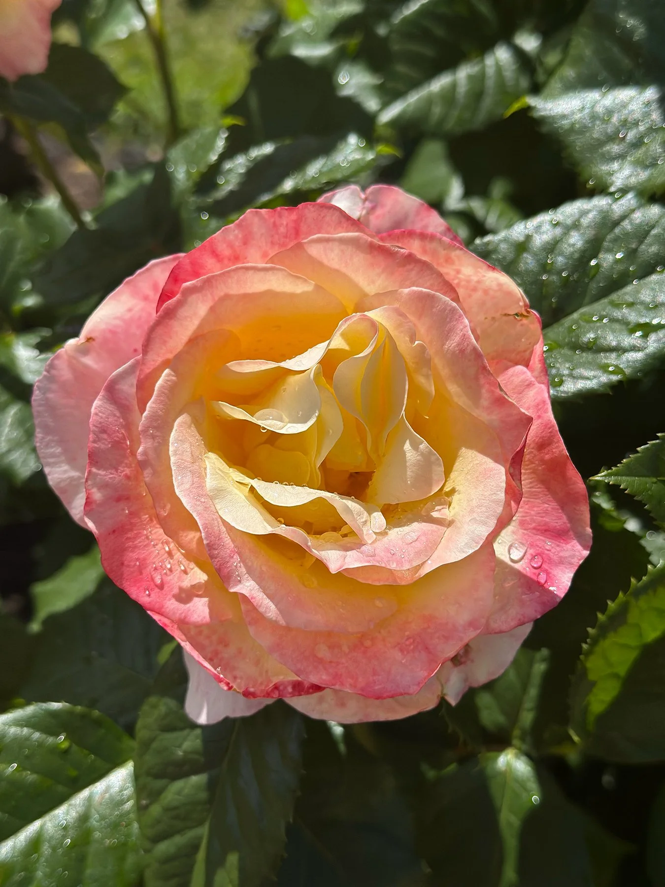
Portland is also known as the “City of Roses” – the city’s mild climate and fertile soil create an ideal environment for cultivating a stunning variety of roses. We hiked up through Washington Park, a veritable mountainous jungle(!) just southwest of downtown. It houses The International Rose Test Garden, established in 1917, which covers 4.5 acres with more than 10,000 rose plantings of 600 varieties. Ten thousand! And they were SO beautiful (understatement of the century).


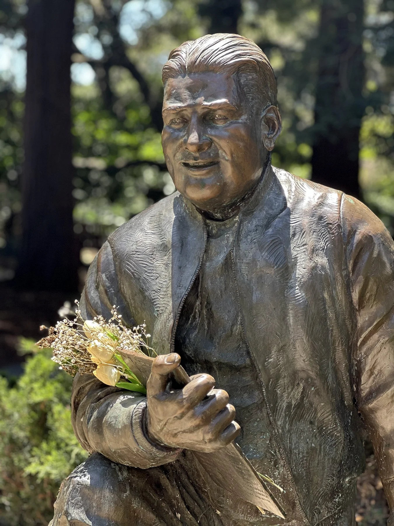
Statue Photo (above): Since 1912 the Royal Rosarians have served as the Official Greeters and Ambassadors of Goodwill for the City of Portland. The statue marks 100 years of service to the City of Portland in 2011. Wearing their white suits that have not changed in a century, they tip their straw hats to salute visitors. The Royal Rosarians have traveled worldwide spreading their slogan, “for You a Rose in Portland Glows.” Who knew?!
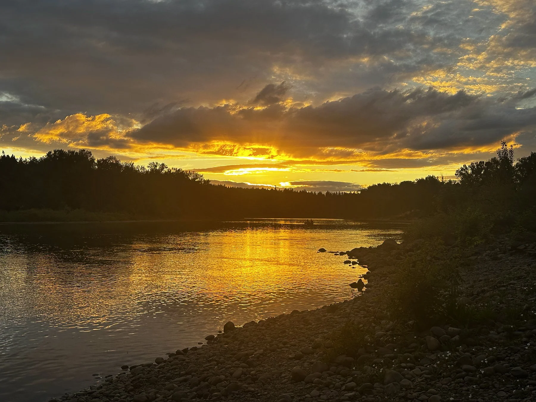
After tooling around downtown and spending a fair amount of time in the rose garden, we toured the Nob Hill neighborhood (much like Hyde Park in Austin, where we once lived), swung by Lewis & Clark College (because, YES, I know one person who attended college there, so couldn’t leave it out!), then hung out in the charming neighborhood of Lake Oswego about 7 miles south of downtown. Our campground was also really pretty, sitting right on the banks of the Willamette River and providing fantastic sunsets.


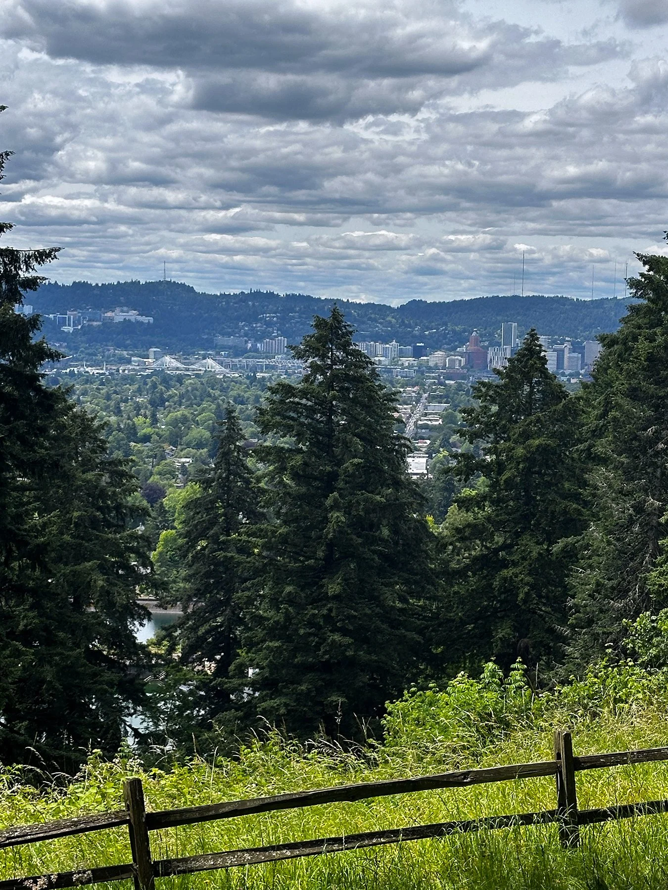
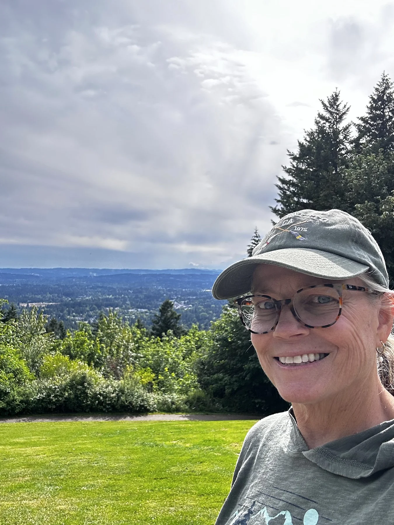
We also spent a whole day exploring many of Portland’s parks. So green, so lush, so incredibly beautiful. Many with views for days:
Powell Butte Nature Park + Mt Tabor Park


Tomahawk Island


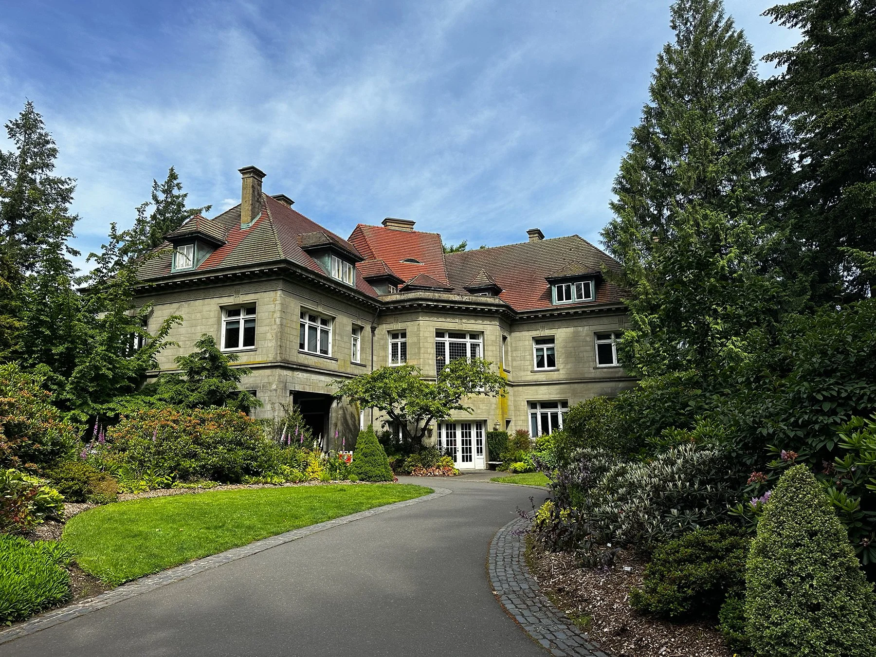
Pittock Mansion and Pittock Acres Park


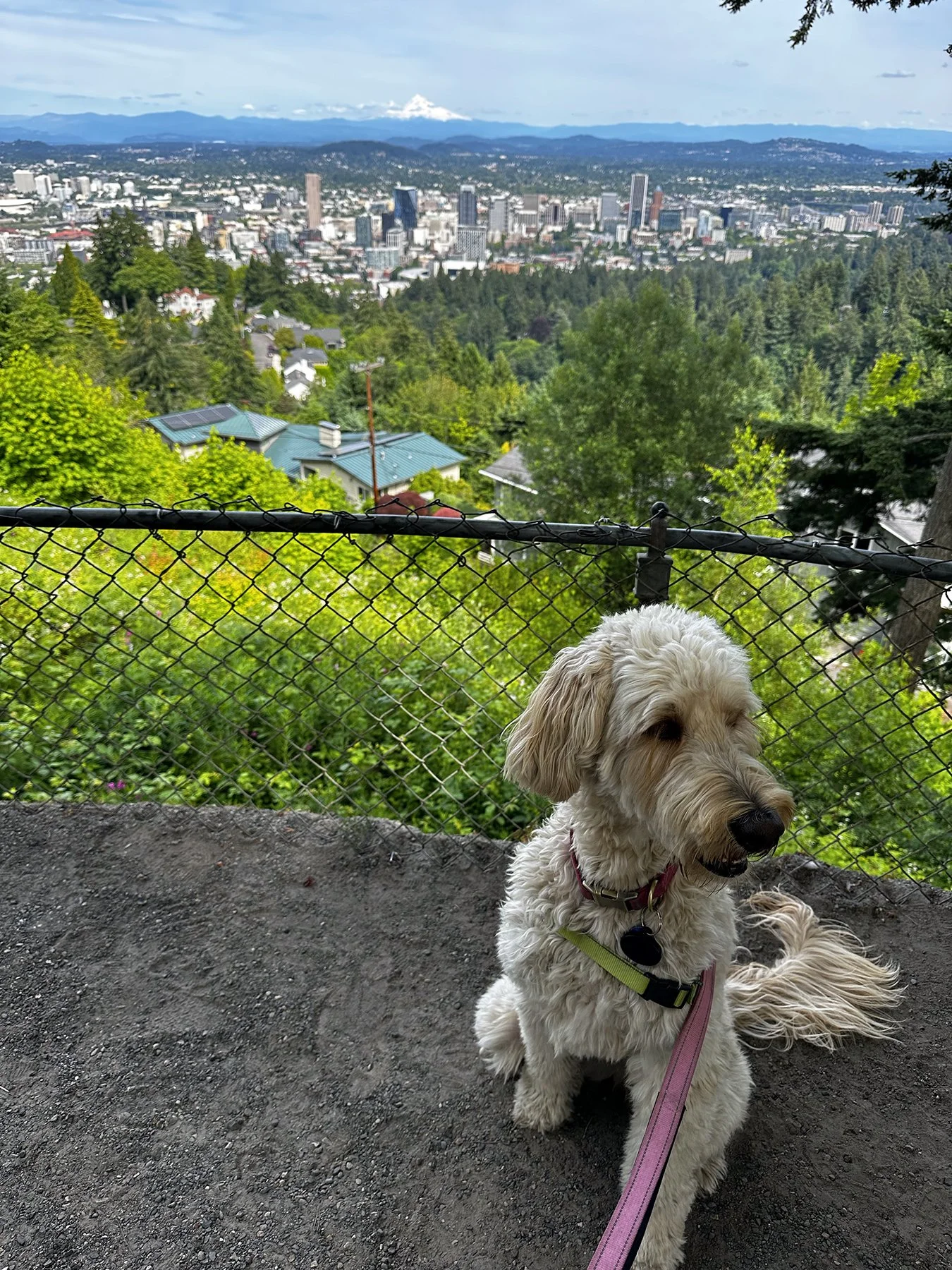

Council Crest Park
The most visible mountain peak from Council Crest Park was Mount Adams, 75 miles away with an elevation of 12,276 feet. A Yakama Indian name for Mount Adams is påtu which means “snowy peak.” I was glad for clear skies so we could see it from many vantage points around the city, in all its glory.


The Columbia Gorge
Downtown Portland straddles the banks of the Willamette River—which flows north through the city center and separates the city's east and west neighborhoods. Less than 10 miles from downtown, the Willamette River flows into the Columbia River, the fourth-largest river in the United States, which divides Oregon from Washington state. The Columbia Gorge presents the greatest concentration of high waterfalls in North America, and I felt quite blessed to see more than a few. In fact, some of my “BSS” (Bible Study Sisters) recommended this area specifically, and I was not disappointed!
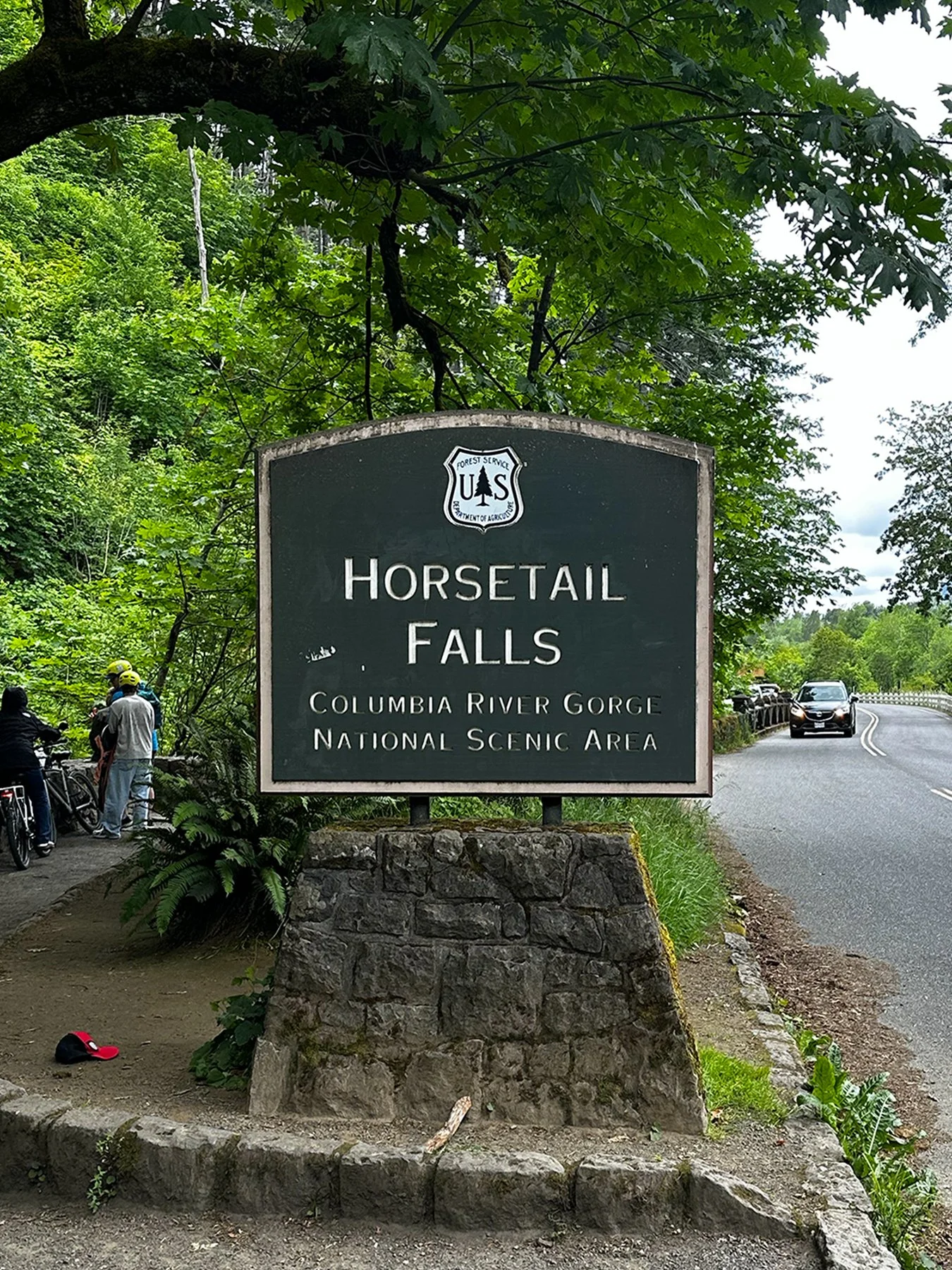
Horsetail Falls: One example of the many types of waterfalls whose plunge pools and tributary streams provide habitat critical to the survival of many species.
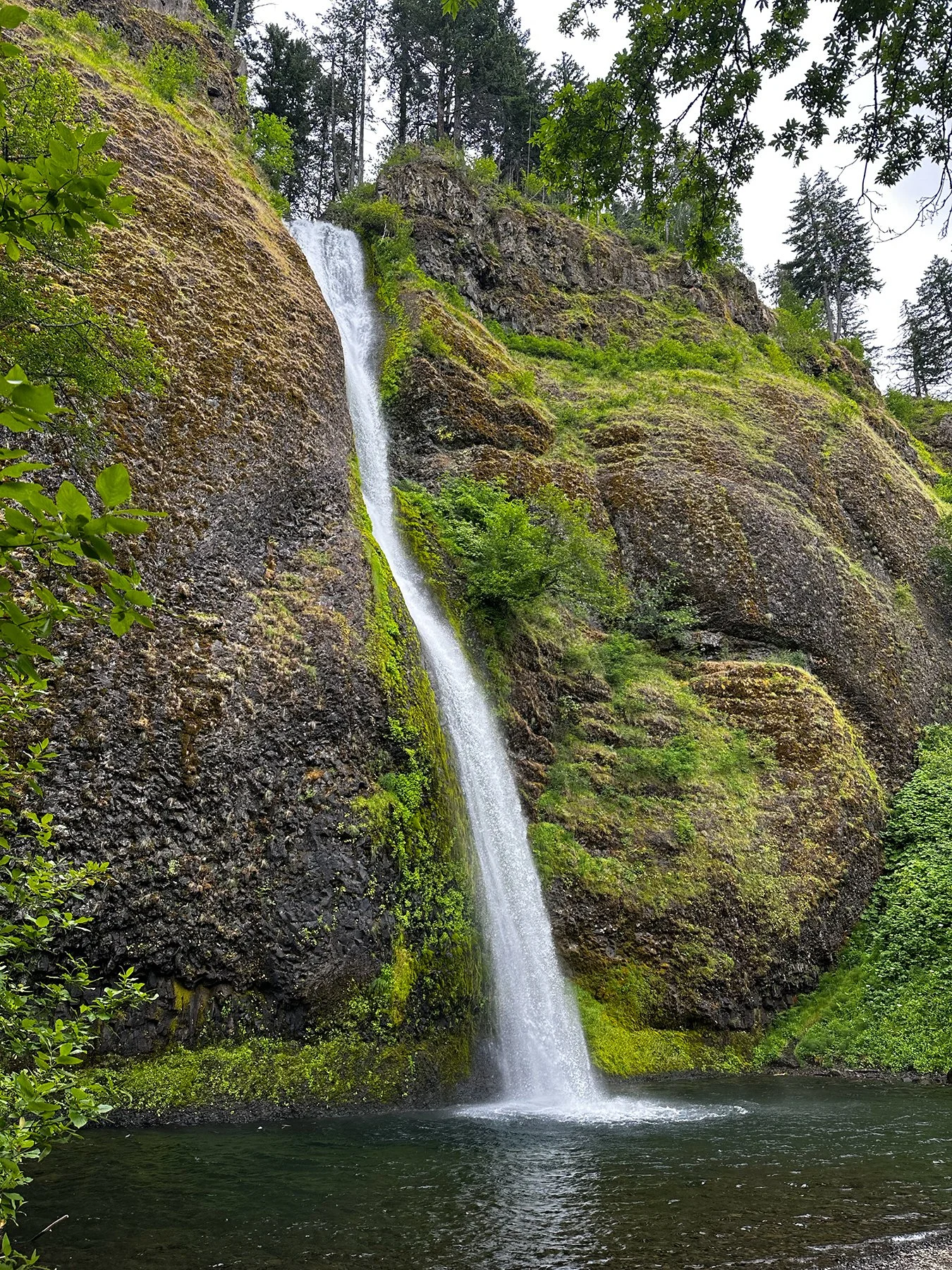

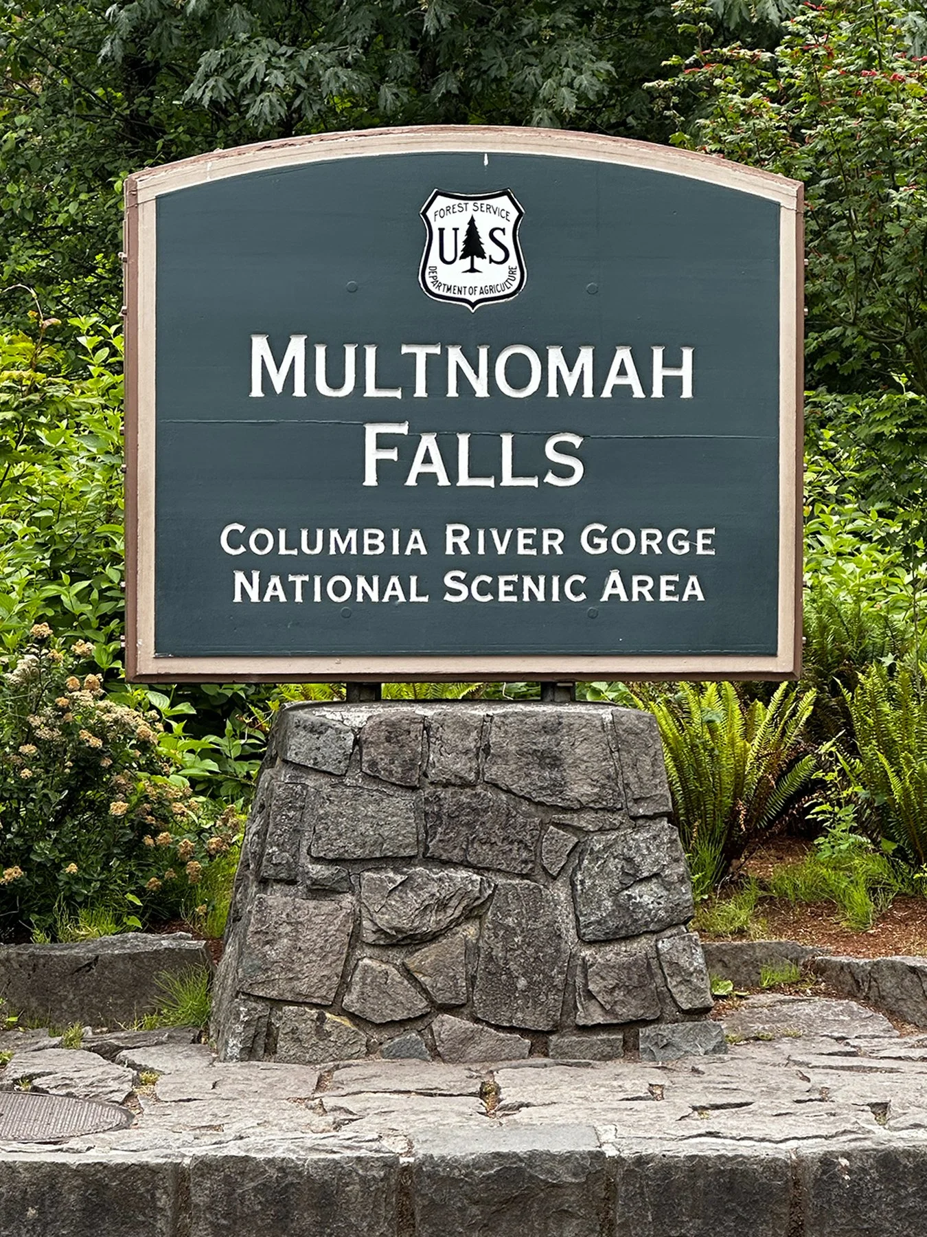
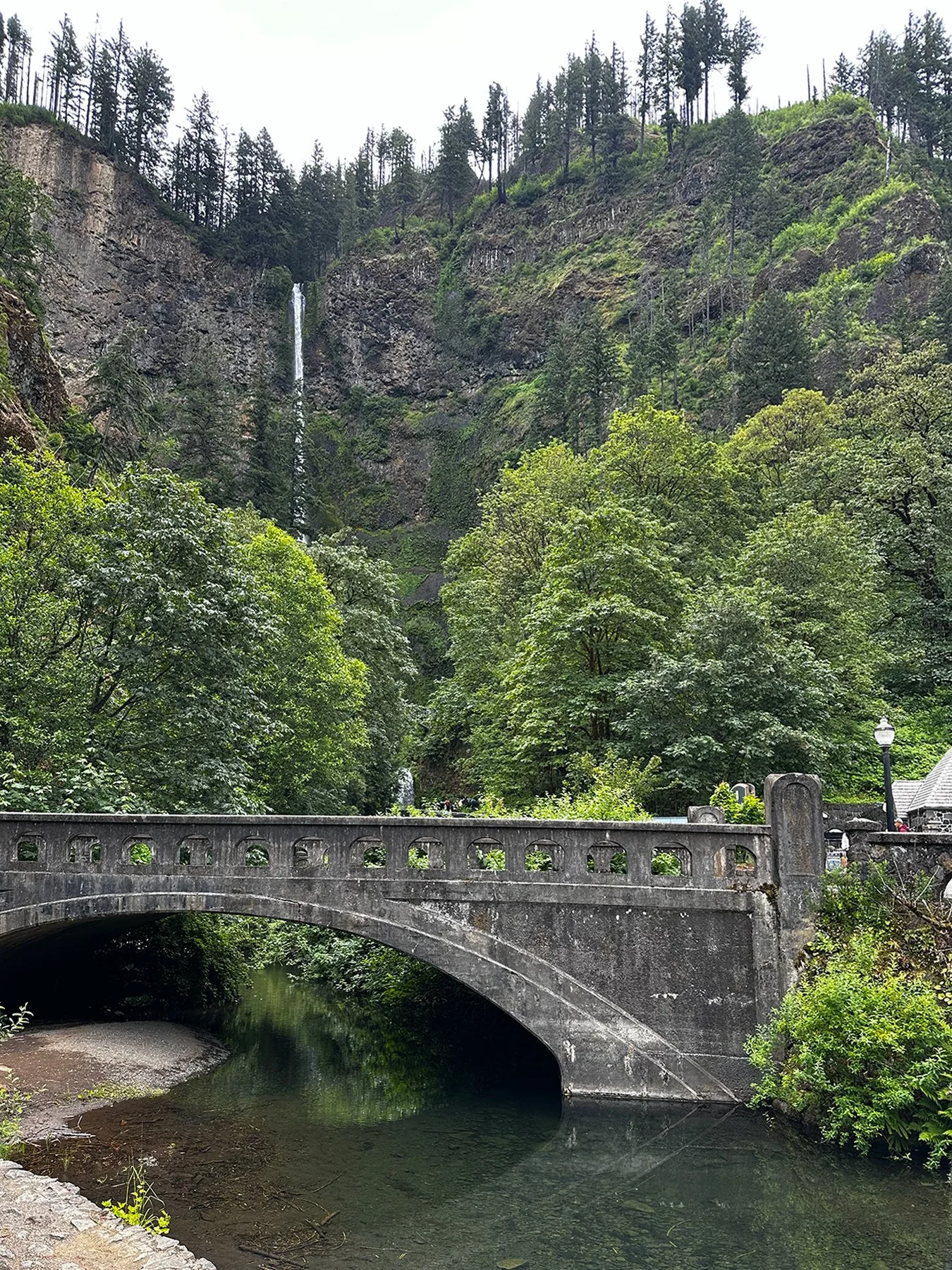
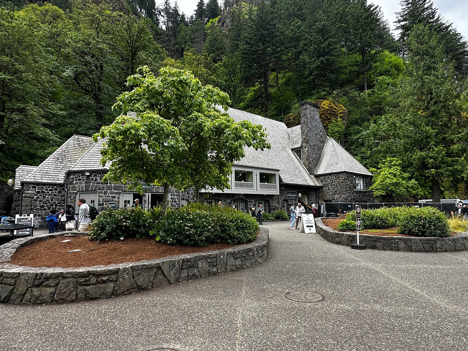
Multnomah Falls: Millions of years ago, explosive volcanoes, grinding glaciers, powerful floods and the uplifting Cascade Mountains formed the Columbia Gorge. In addition to continuous erosion from the Columbia River, landslides, mudslides and rock falls, Multnomah Falls carves its own unique “footprint” through layers of rock.
Not-so-fun-fact: On Sept. 4, 1995, a 400-ton rock slid from the face of upper Multnomah Falls and dropped 225 feet into the Falls upper plunge pool. Weighing as much as a school bus filled with concrete it sent a 70-foot-splash over the Benson Bridge—drenching a wedding party.
Upper Falls: 542 feet. Lower Falls: 69 feet.


Skamania Lodge
My BSS friend Jo Ann highly recommended I check out Skamania Lodge. And wow, what a treat! A luxury resort along the Columbia River Gorge, it has its own golf course, a number of outdoor activities for guests including zip-lining, axe-throwing, a ropes course, hiking, spa services, and even serves as a wedding venue. In addition to the lodge, you can rent a treehouse (yes, please!), enjoy a glamping experience, or rent a cabin or villa. I was enamored with this gorgeous spot and only disappointed that I didn’t have more time to spend there. Perhaps I can come back some day (after robbing a bank, but, whatever ;-).


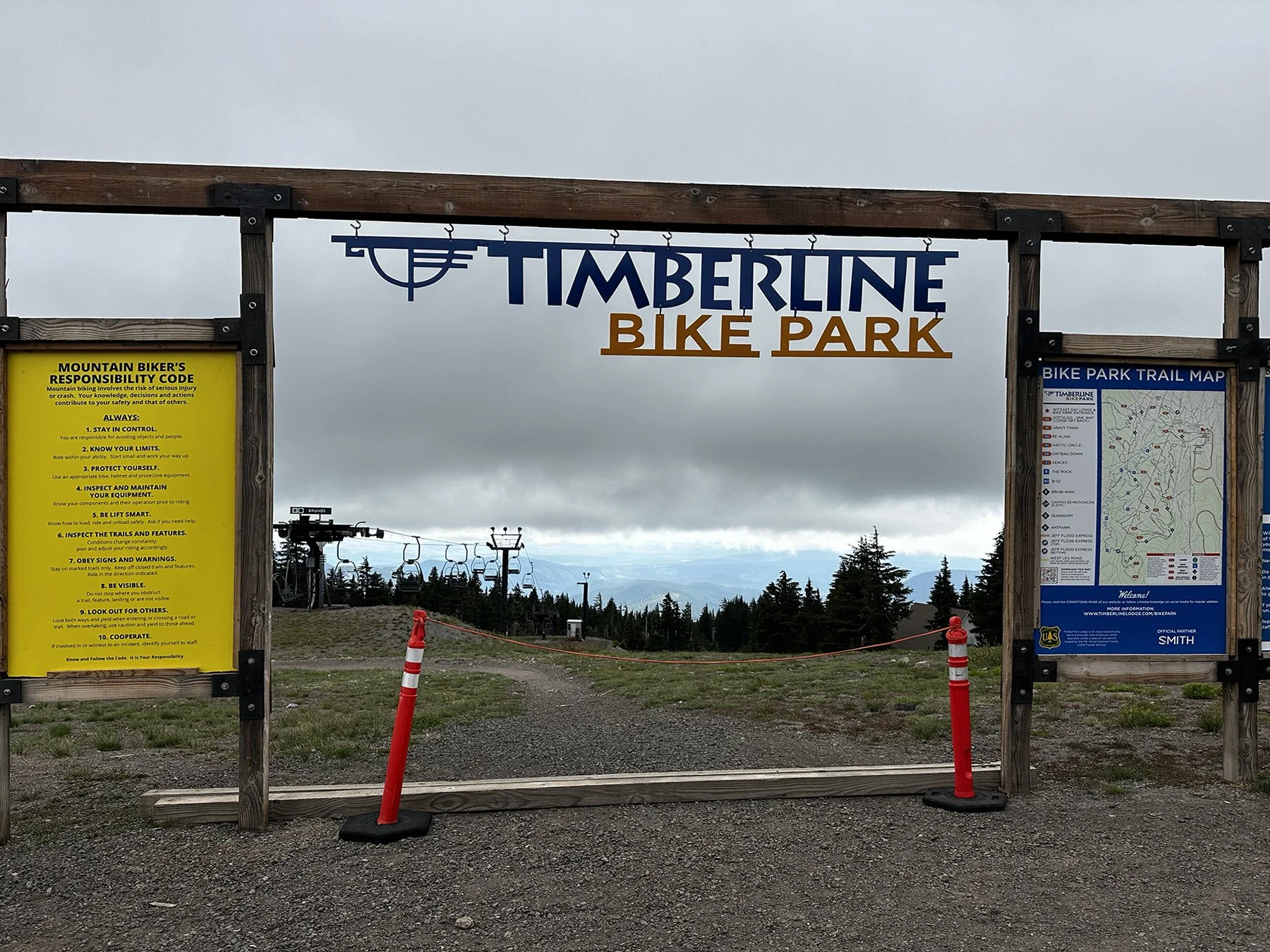
Timberline Lodge/Ski Resort + Mt. Hood
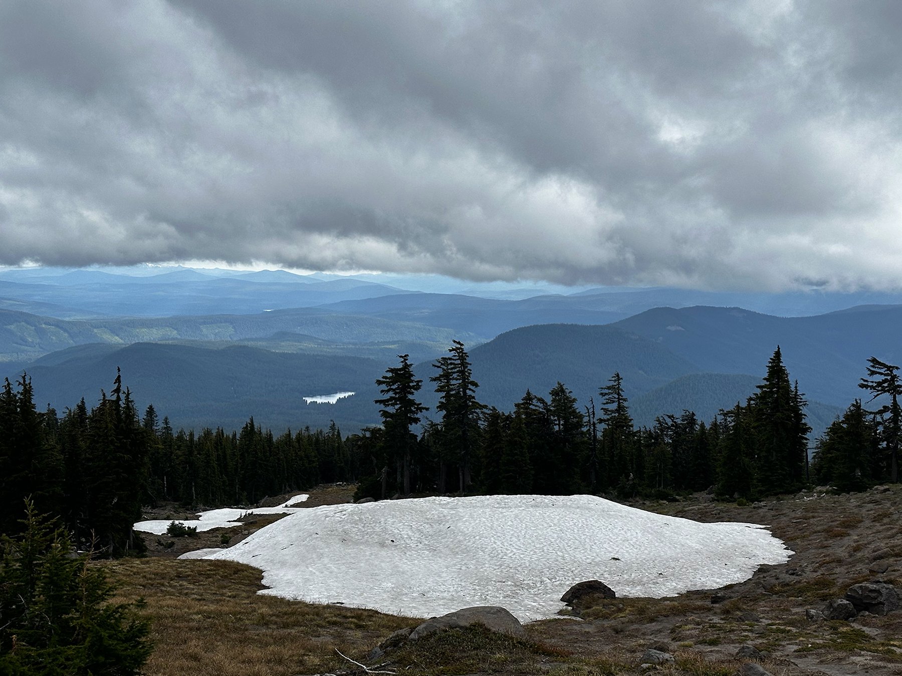
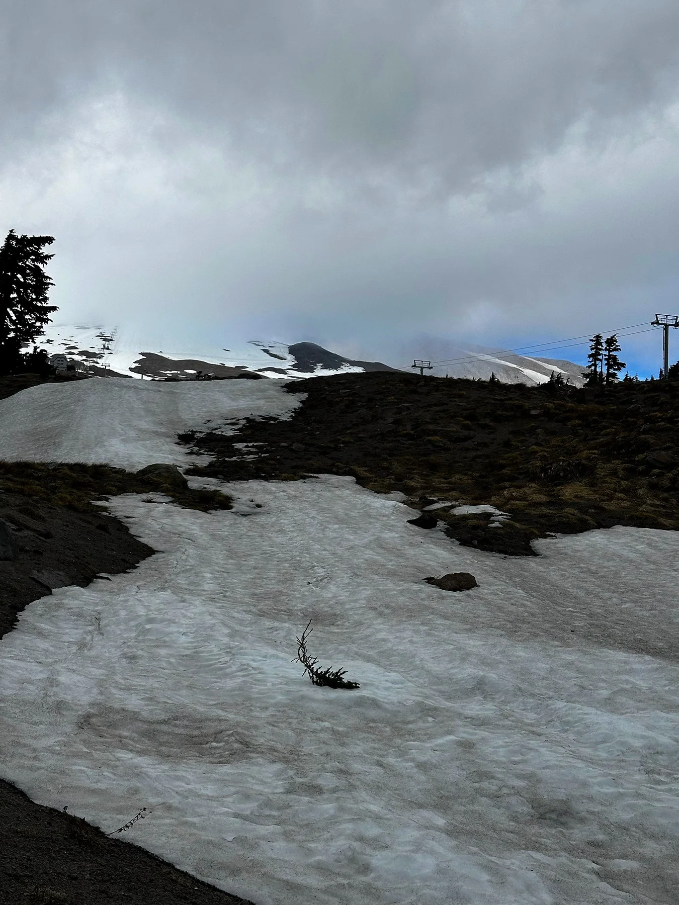
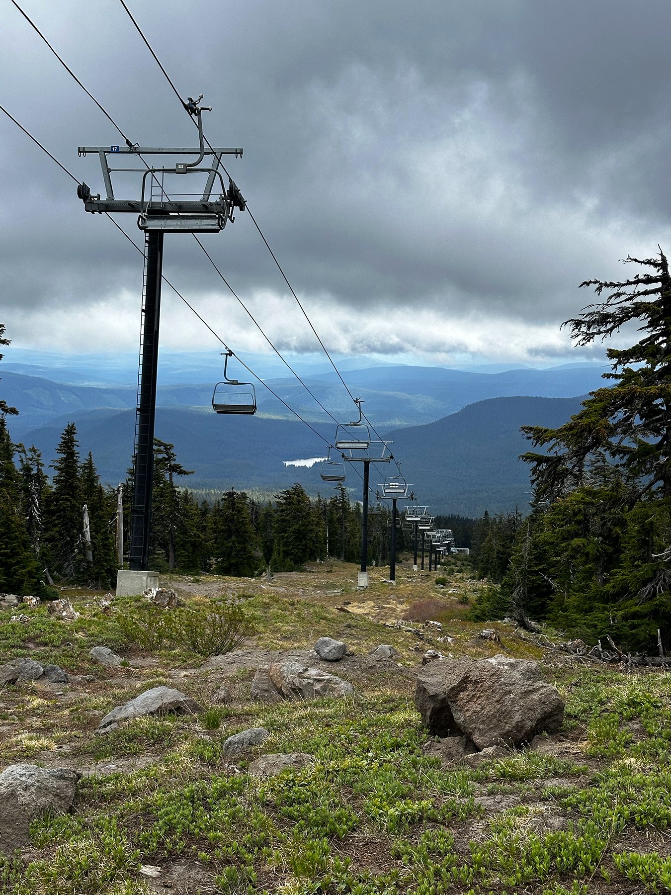
I just had to find a way to get closer to the majestic Mt Hood after viewing it from a distance throughout the week. I discovered Timberline Lodge, a product of FDR’s New Deal, built in 1936 and 1937. It has been said to be the most significant historic structure in the state of Oregon; unemployed workers, artists, and craftspeople on the rolls of the Works Progress Administration worked with the US Forest Service and representatives from the local construction trades to construct this monumental ski lodge in just 22 months. It was built as a Federal Arts Project, and as “a place for the people to recreate and celebrate their lives here in the Cascade Mountains.” Maisie and I joined another couple and hiked around the ski slopes, some with a bit of snow still on the ground :D. Ahhhhhh.


I’ve really just begun my journey through the Pacific Northwest, and I’m excited to continue on! So far, it is everything I had hoped it would be. The variety of landscapes is pretty mind-boggling, the thread between them being the lush greenery, evergreen trees and fern forests. Next we’ll be heading up into Washington, with several national parks on the agenda along with the Seattle area.
As always, I really appreciate your prayers for safe travel :D.
The Oregon Coast: Everything Promised & Then Some
Have you ever been to the Oregon coast? Or perhaps, like me, you’ve just seen amazing photos and heard about its unique and immense beauty? Well, let me tell you. This is the only area of the country—sans Alaska—that I had yet had the opportunity to experience. So my expectations were pretty high. Were they met?
If these photos represent just 10% of the actual beauty seen live and in-person, then the answer is an unequivocal YES!
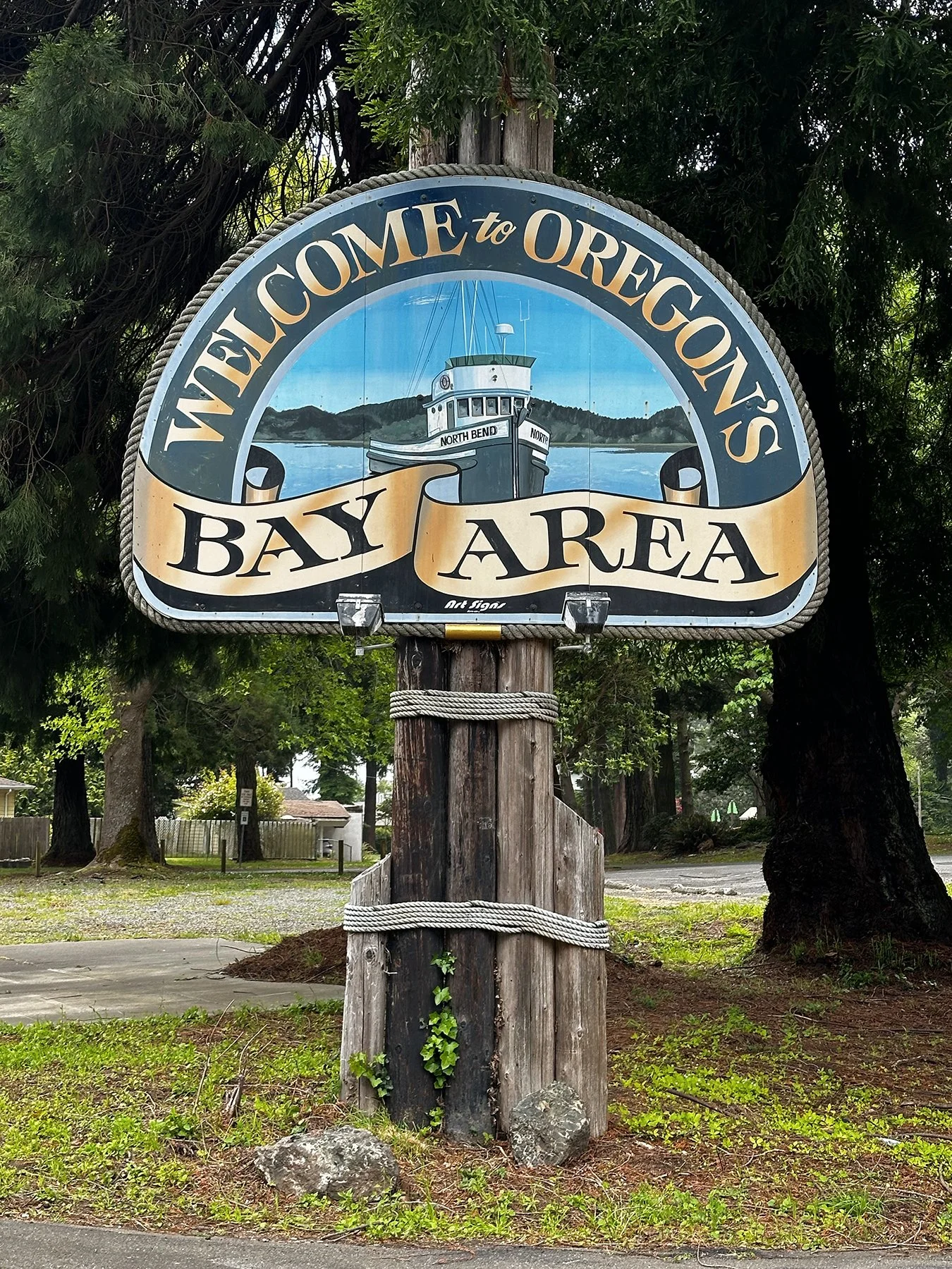
Coos Bay
We started out on the central coast exploring Coos Bay. The town of Coos Bay was a little disappointing to me, to be honest. Maybe my expectations were a little too high; for some reason, I was expecting one of those charming coastal towns with cute boutiques, and locally-owned shops and galleries. But the city itself is a little more of a working-class and industrial one. We did come across a little gem of a park, complete with a duck pond, quaint little bridges and gorgeous trails, along with a cool farmer’s market where people from all around the area sold unique produce, art, and more. I tried some ‘Artisanal Rough-Cut Sourdough Noodles’, made with mushroom and quail eggs! Yum.


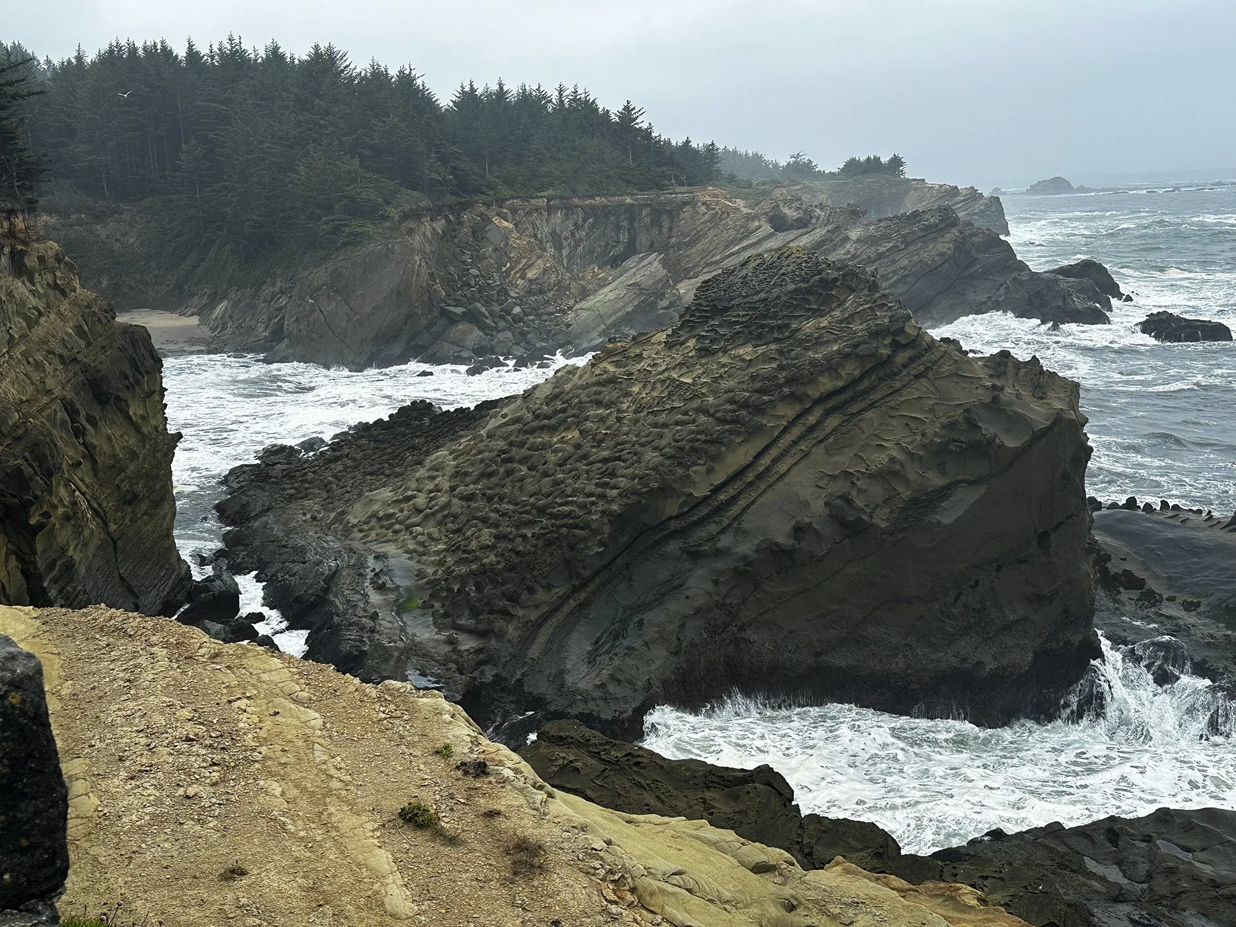
What we discovered next was a number of beautiful state parks all along the coast. We stayed at Bastendorff Beach, seemingly buried deep in a tropical forest yet just a stone’s throw from the beach. We ventured down to Sunset Bay Beach, where we heard there were some great hiking trails. Unable to find a clearly marked trail initially, we headed up a curvy, narrow trail up a steep sea cliff hugging the coast. I’m getting better at listening to my inner second-thoughts voice, as we had to navigate over fallen trees, super narrow paths, and jungle-like plants spreading across the trail. I began to think I might need a machete! Even though this was clearly made to be a manicured trail, it was a little more hard-core than I had bargained for, so decided to turn around and give up. Fortunately, I love talking to people, so greeted a nice couple down on the beach—who were somewhat crazily going to kayak in the cove on a cold, cloudy, day—and who told me of a great trail on the OTHER end of the parking lot that was much safer. So, after traversing the rocky beach to try to get a little closer to the ocean—without falling in—off we went!


The huge rocks and sea stacks were incredibly interesting to view up close. According to the Oregon Coast Visitors Association, they were formed by massive ancient volcanic eruptions, tectonic plate uplift, and millions of years of relentless wave erosion. Many of the Oregon coast’s soaring cliffs and most spectacular sea stacks—those giant rocks in the Pacific close to shore—are made of basalt. This charcoal-gray igneous rock, which is formed by cooled lava, covers much of the state. That’s because a series of volcanic eruptions in what is now Northeastern Oregon between 15 and 16 million years ago sent huge quantities of lava flooding over the landscape, where it accumulated in immense quantities—in some places, up to 2 miles deep. Geologists believe that some of the more remarkable examples of basalt headlands were formed when molten basalt flowed into prehistoric estuaries, creating long underwater protrusions of rock. Once they emerged above sea level, the soft sediment around those protrusions eroded completely, leaving dramatic headlands we see today. So ends the lesson ;-).
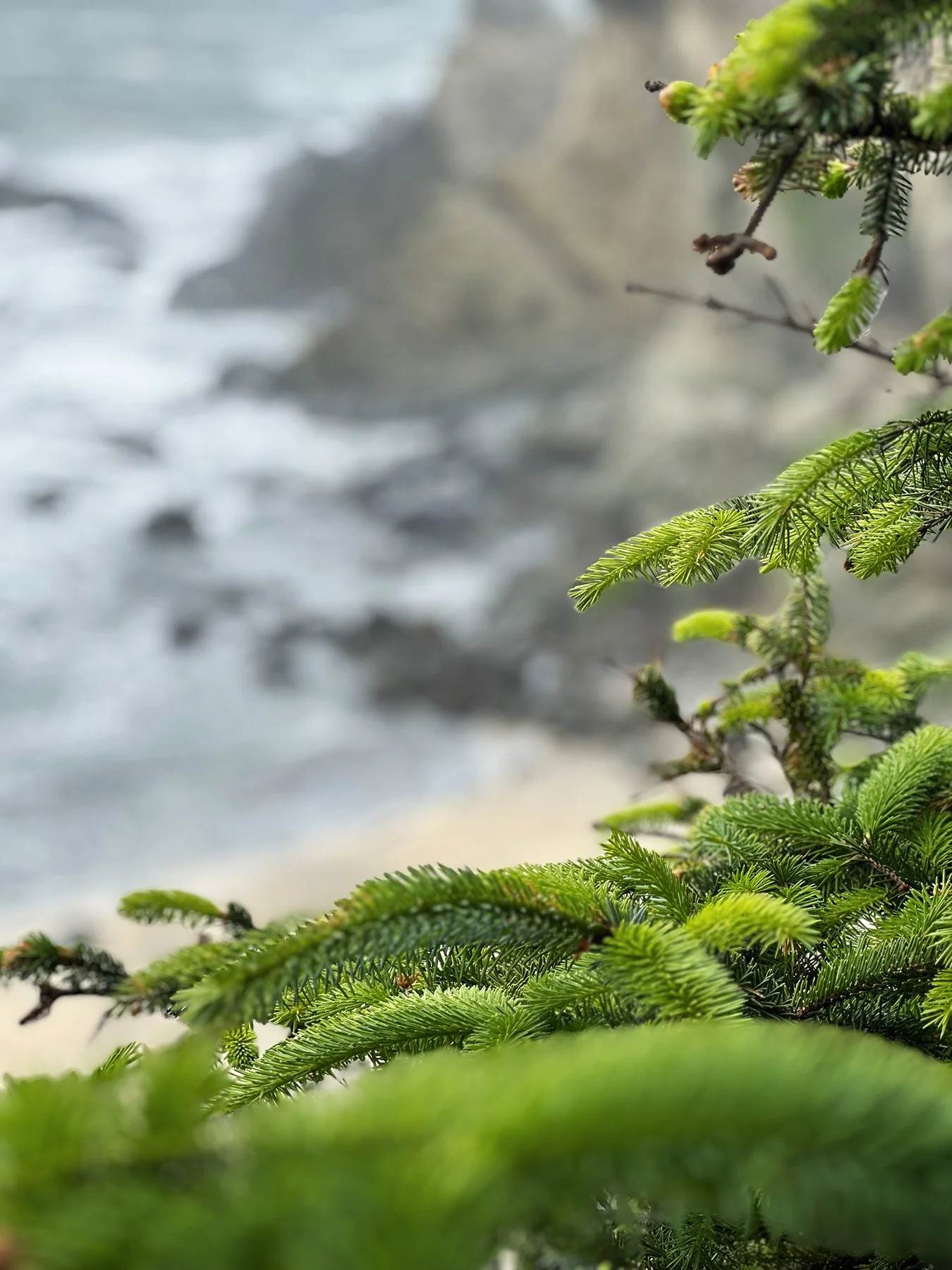
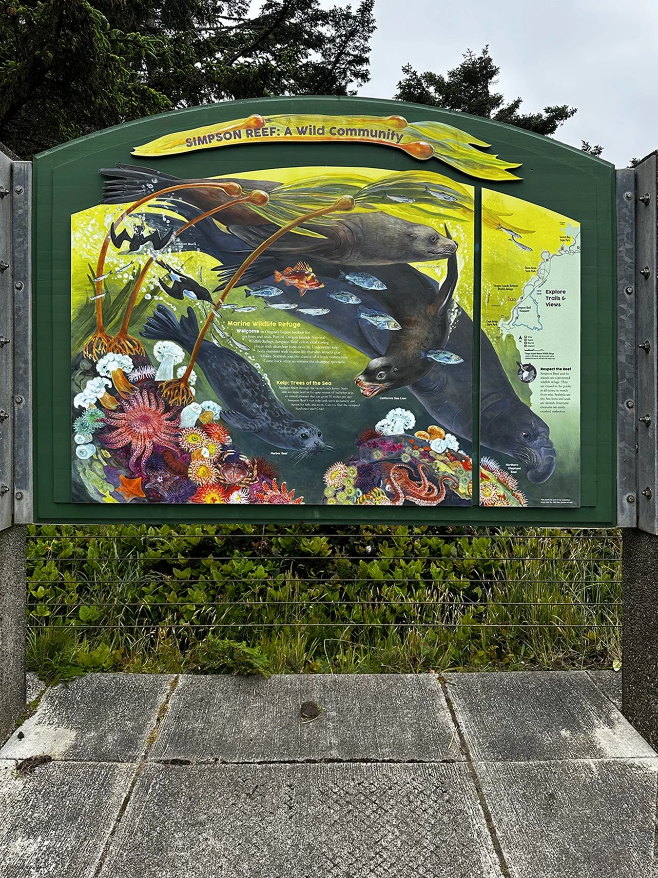
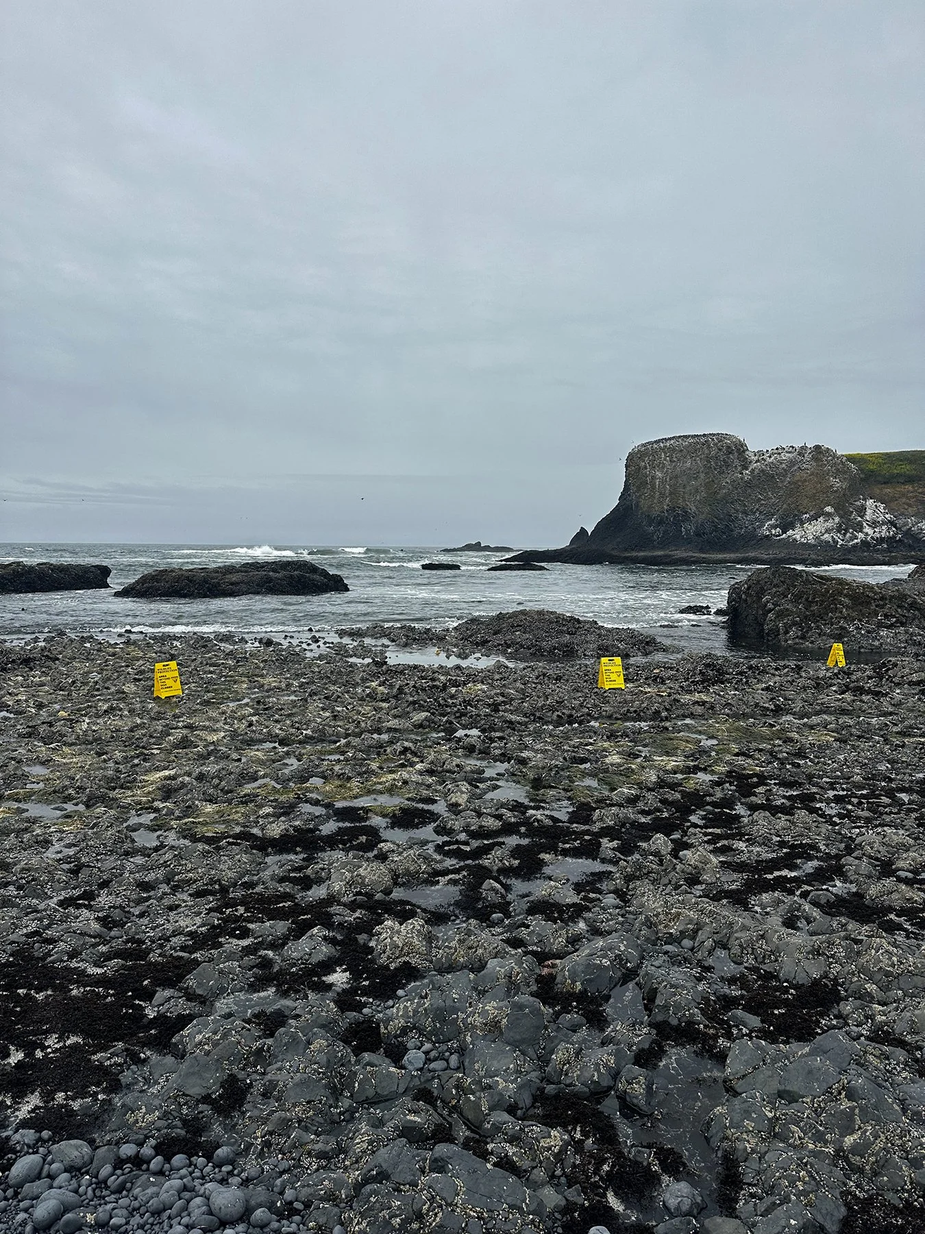
We next headed to Simpson Beach, and followed the loud barks of several dozen sea lions and seals to the top of Simpson Reef, where I had another total geekout moment, because I saw a BALD EAGLE! Y’all, I can safely say I have never seen a bald eagle in the wild. It was a sentinel moment for me! It was hanging out on some of the large rocks near the beach where all the seals were. Just hanging out (seemingly, at least). I’m glad I brought my binoculars but wish I had a long zoom lens; my iPhone does a pretty good job generally, but it was pretty far away. What a treat, though!


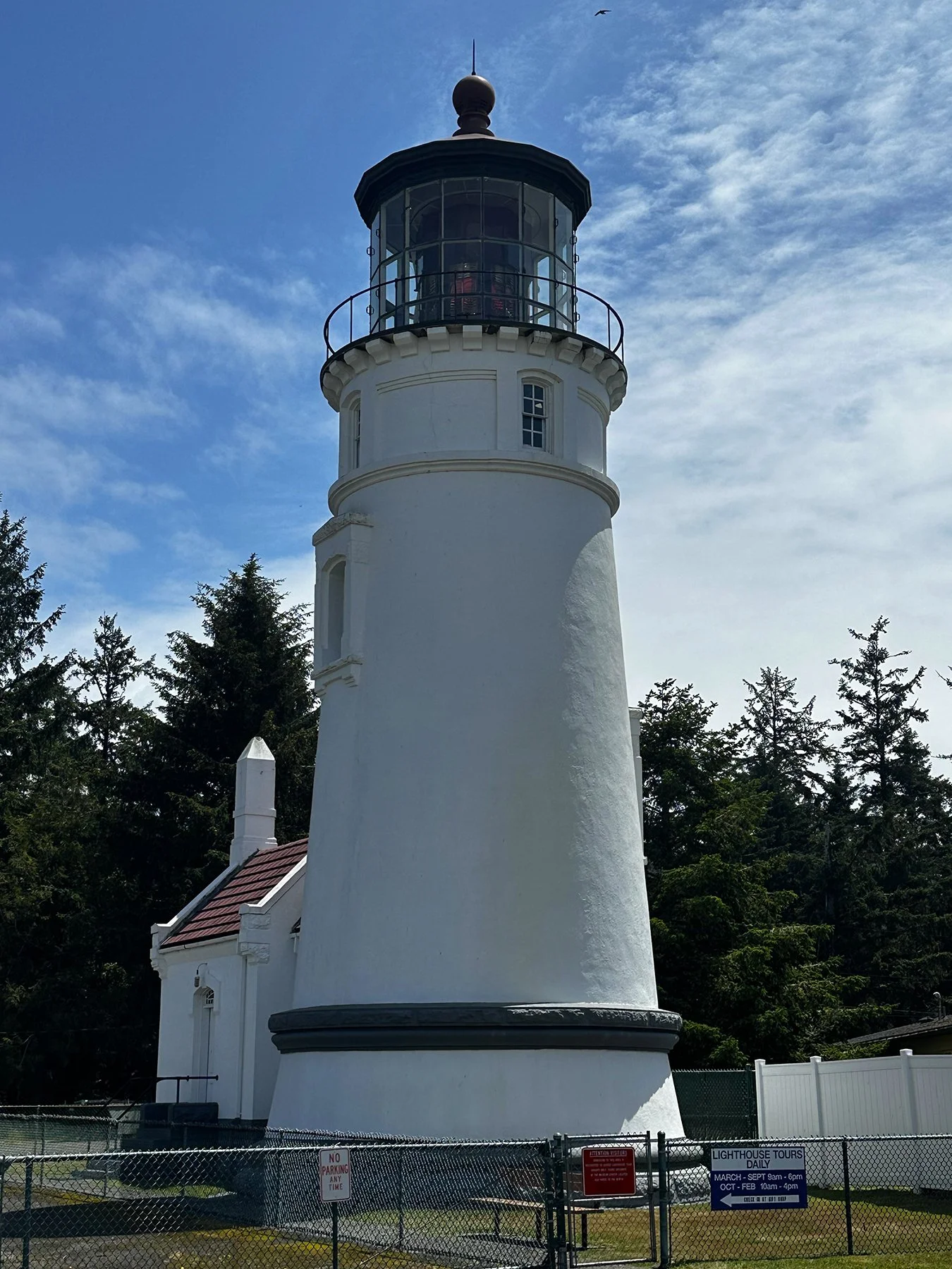
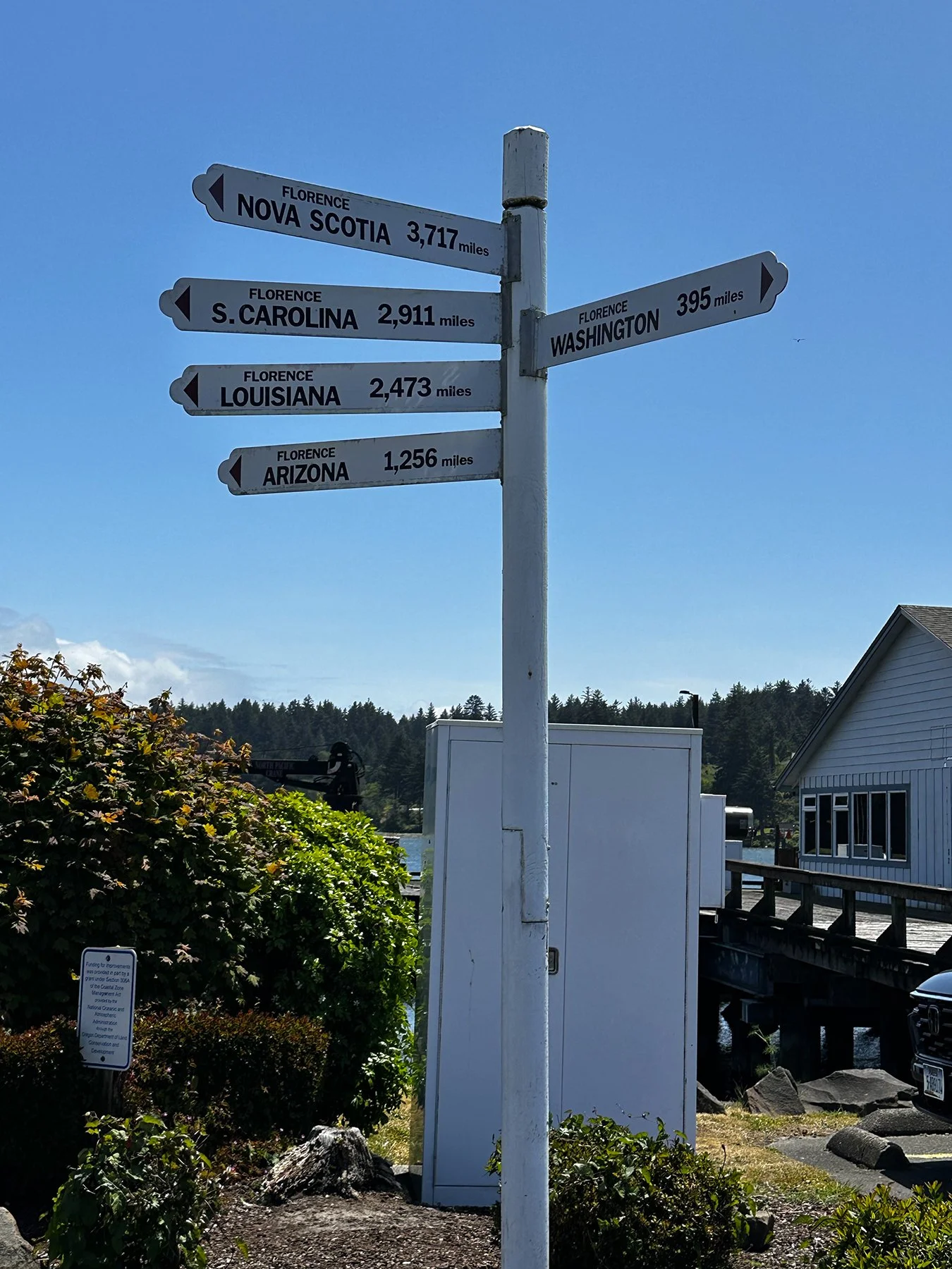
Florence
On the way to our next campground, we had to stop and spend a little bit of time in the seaside town of Florence. Always one to go out of my way to visit a lighthouse, we headed toward the Umpqua River Lighthouse first. Originally the first lighthouse in the Oregon Territory was built in 1857 near the mouth of the Umpqua River. It was undermined and destroyed by a flood in 1864, then rebuilt near Florence in 1894. There also was a lovely museum there.


We then walked the Historic Old Town district of Florence, brimming with cute storefronts packed with boutiques, galleries, restaurants and candy shops.

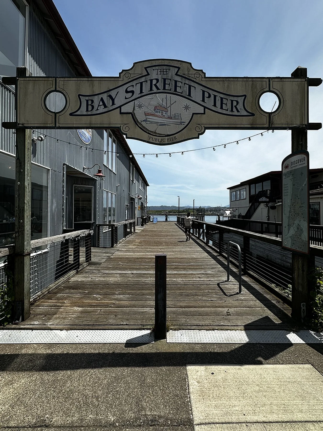
Newport
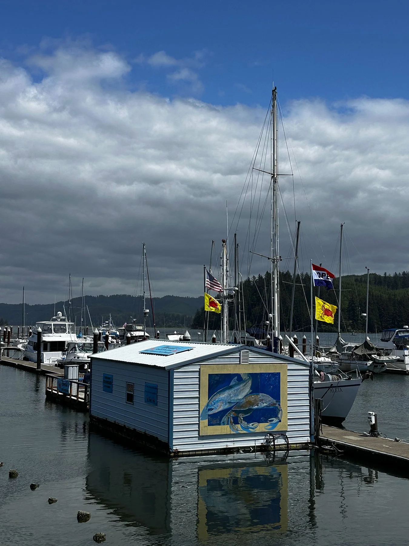
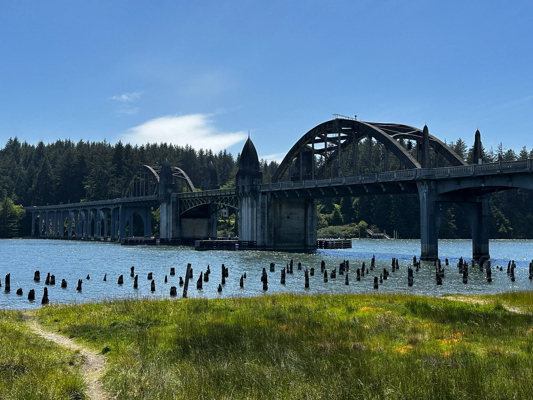
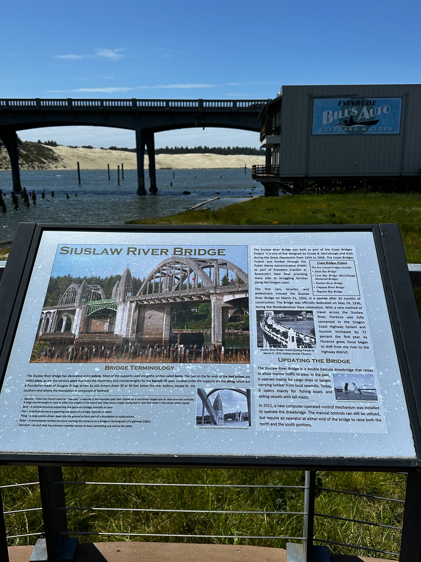
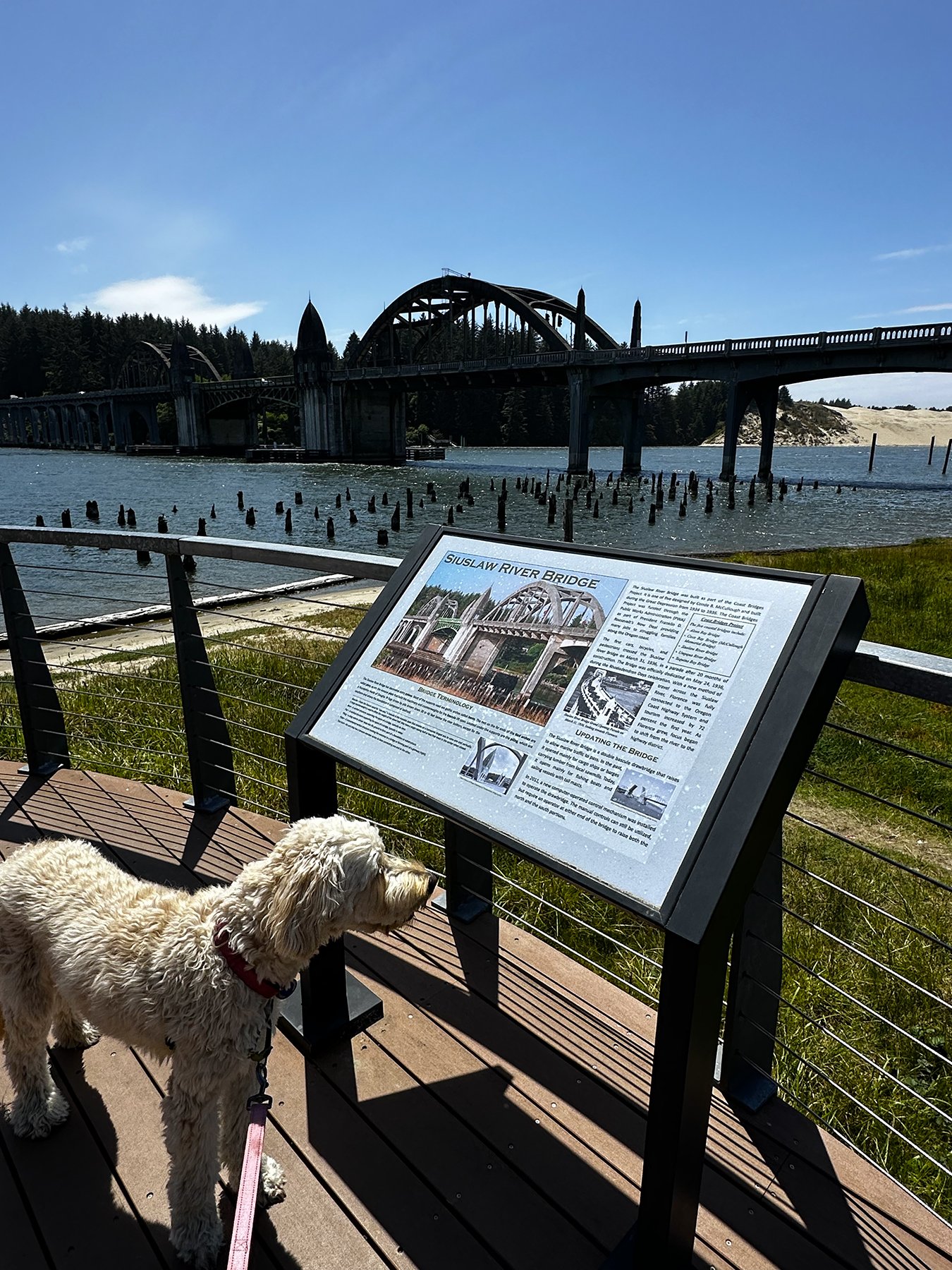
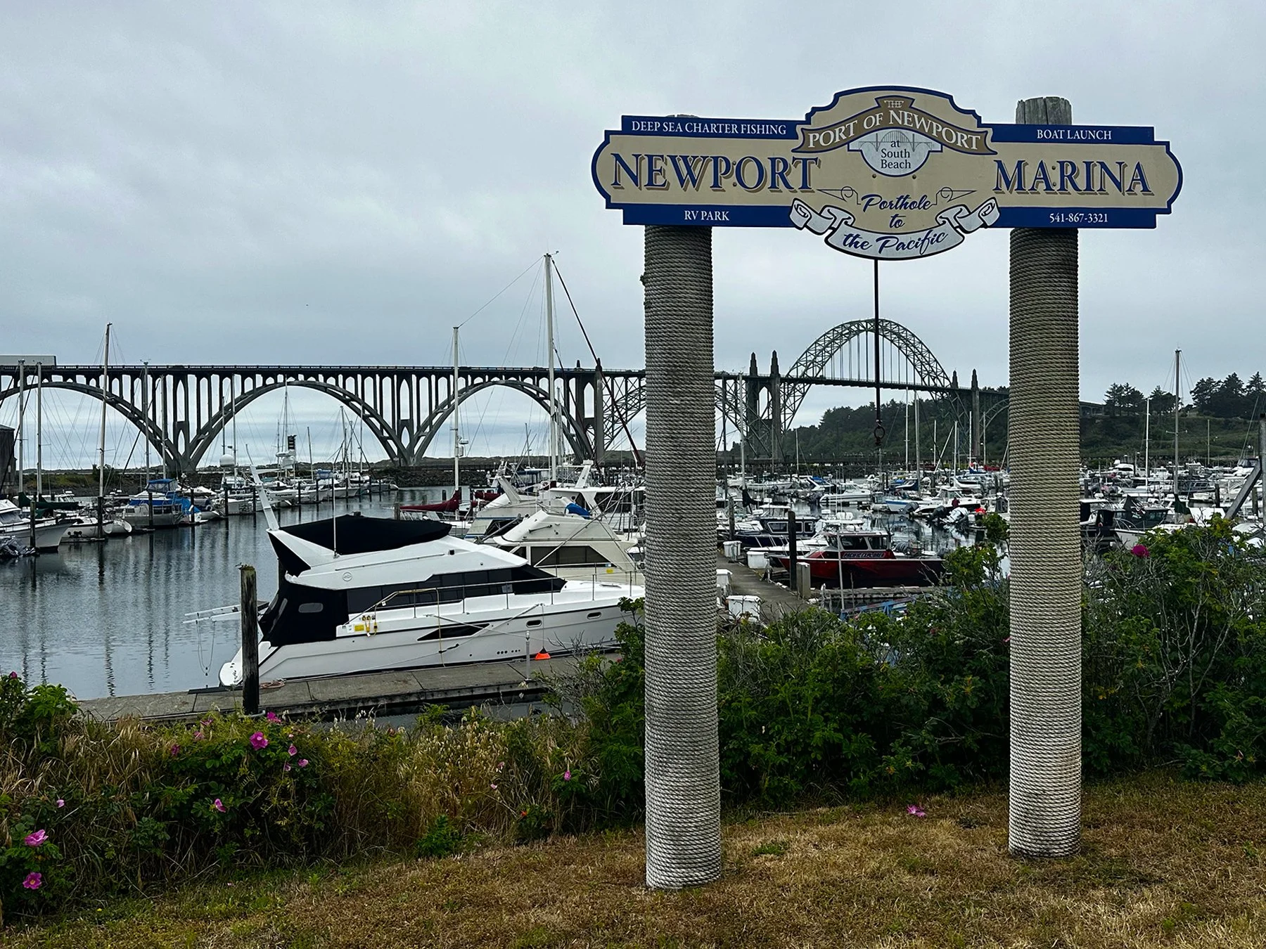
Once settled near Newport, Oregon, on a lovely site right on the Alsea River, we spent the next two days exploring this harbor town and the beautiful coastal area around it. We’ve spent a lot of time traveling the 101, and this time it took us over the Yaquina Bay Bridge in Newport, an iconic Art Deco/Gothic Revival arch bridge that was built in 1936.


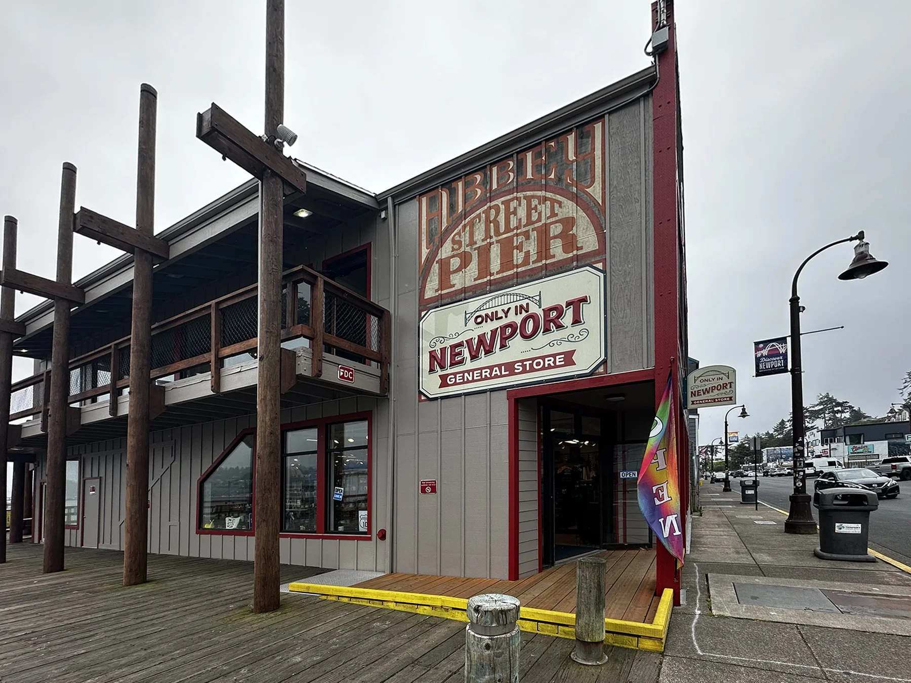
The historic district was quite interesting; one half of the street had the type of cute, quaint, local shops that you know I love, and the other was a working harbor, with fishermen and big seafood processing plants. Then of course there was the constant barking of the sea lions near the fishing docks. They are California Sea Lions, and they love to lay on the rocks and the docks while they are visiting Yaquina Bay. Adult and sub-adult sea lion males can be found on the docks; they live there for 11 months out of the year. In July, they migrate to the Channel Islands of Southern California where the females stay year-round. After breeding, they return around the first week in August. The locals say that the one month when they are gone is eerily quiet!
And okay ladies, let’s pause a minute. Anyone want to send their husband/boyfriend off for 11 months of the year? Haha. Just kidding.


Our next outing was the most marvelous, outstanding, stupendous, Oregon-coast-iconic landscape of them all! Walking up to the Yaquina Head Lighthouse in Newport provided us with quintessential views. AND Y’ALL … I saw another BALD EAGLE! In fact, there were two there, hanging out in a tree by the lighthouse. There were some smaller, crow-like birds picking fights with them (I guess their presence was threatening their young, or something?). I caught them in mid-flight as they started to chase each other around the tree.


The lighthouse itself has the tallest tower on the Oregon Coast, and stands at 162 feet above sea level. This is the only lighthouse in Oregon with a marble floor, for what that’s worth. We walked down a million steps (slight exaggeration) to Cobble Beach, where some harbor seals were swimming around the tidal pools. Atop one of the basalt headlands was a massive group of birds, called murres. Up to 10,000 of them raise chicks on top of Pillar Rock (see photo). A female lays one pear-shaped egg that will spin, but not roll off a cliff. Parents take turns incubating their egg, which they recognize by unique markings and color. At three weeks old, their chick leaps off the edge. Thousands of “jumplings” will flutter down to their waiting fathers who care for them at sea until they learn to fly and dive for fish. Like penguins, murres are black and white, stand upright, and swim after fish underwater. Murres live to age 20!


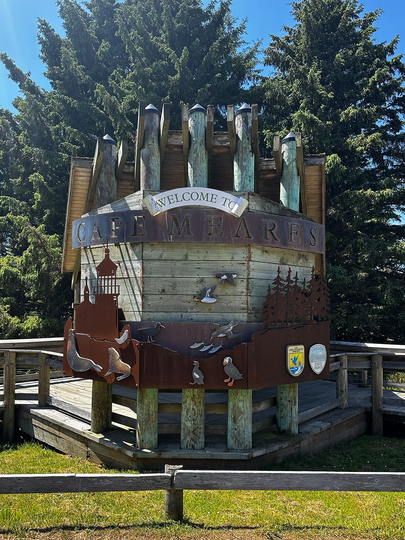
Cape Meares + Tillamook
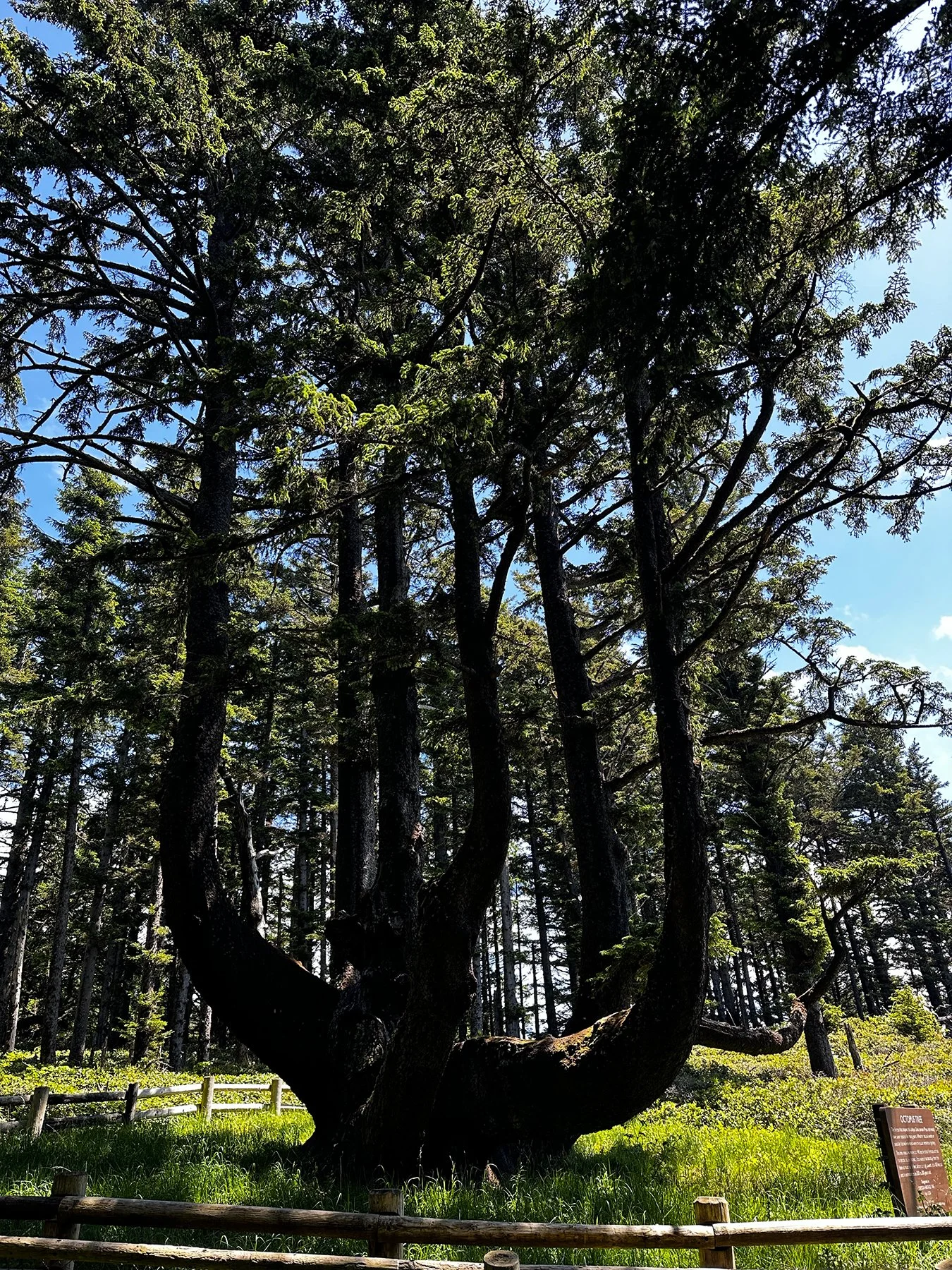
Heading up the 101 to Tillamook (a truly beautiful drive), we stopped at Cape Meares, near Oceanside, Oregon, about 75 miles from the Washington border, and as far north up the Oregon coast that we will make this trip. We first came upon the unique Octopus Tree, a 250-300-year-old Sitka spruce with massive, sprawling limbs that grow horizontally before turning upward, resembling tentacles. It’s unusual shape was possibly formed by natural forces or trained by Indigenous peoples for ceremonial purposes, such as holding canoes for tree burials. It’s over 14 feet across at its base and 105 feet tall.

Then we took the trail down to the Cape Meares Lighthouse (I just can’t get enough of lighthouses!!). The tower stands just 38 feet high and is the shortest lighthouse in Oregon. We talked to lovely people up and down the trail, all of whom were fawning over Maisie, of course.


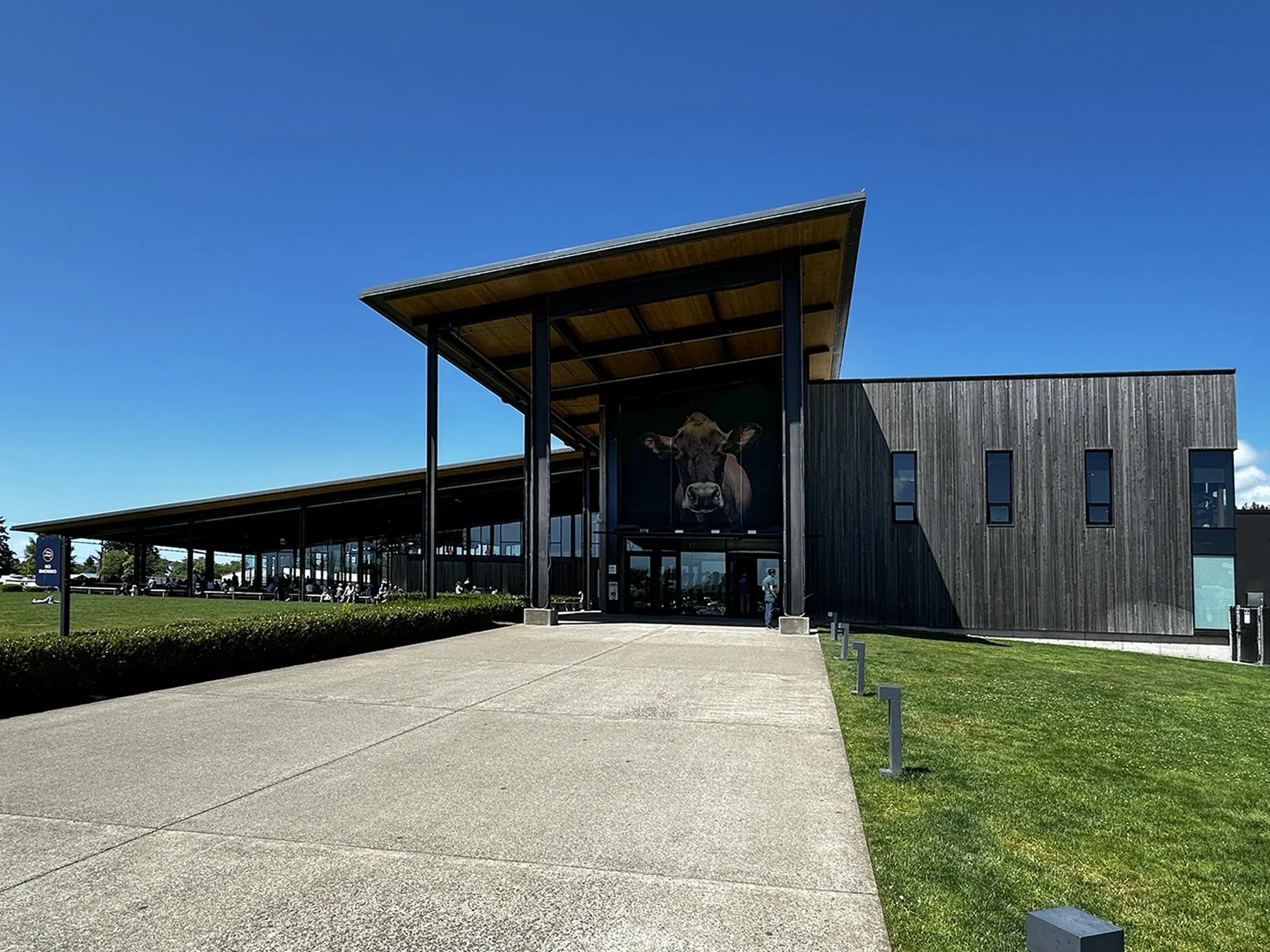
Our final stop on our tour of the Oregon coast was one that came highly recommended by someone I met at a dog park in Eugene (of all places ;-). The Tillamook Creamery! Rather than tour the creamery to see how they make all their cheese and ice creams, etc., I watched a video about it since dogs weren’t technically allowed inside. I say ‘technically’ because YES, I went inside with her anyway. Sometimes we just have to try and get kicked out rather than miss out completely! We were able to peruse the engaging interior where they tell the history of the company, their store where they sell LOTS of dairy products and swag, and wound through the main floor. I REALLY wanted to sample some of their hand-scooped ice cream, but the line was way too long. Boo!


I didn’t want to overstay my welcome (so to speak), so we scooted out and headed away from the coast to a few inland cities. More on that in the next blog!
Crater Lake National Park
Y’all. Close your eyes for a second. Now picture the bluest blue you can imagine to ever see in nature. THAT is Crater Lake. Add the sweeping curve of the caldera wall, massive cliffs overhanging the lake, and the extravagant beauty of the lake itself? Another slice of heaven on earth.
According to the NPS, Crater Lake is famous for being the deepest lake in the United States and one of the purest and most pristine bodies of water on Earth. Located inside the collapsed caldera of the ancient Mount Mazama volcano in Oregon, it is renowned for its striking, deep blue color.
Of course, it is challenging to replicate the depth of the colors in a photo, particularly one taken with a phone, then transferred to a laptop, then uploaded to a website, then viewed on another device. But still. Hopefully these will give you a feel of the immense beauty of this area.
We were only able to explore one edge of the lake, from about 1,000 feet above, because even in May, there was still a fair amount of snow. So trails down the caldera wall to the level of the lake were closed, as was the 33-mile scenic drive around the rim. I nonetheless just gasped every time I turned around and caught a different angle. It really did take my breath away, time and time again!
For a quick history: There was a massive volcanic eruption and collapse 7,700 years ago that left a deep basin where a 12,000-foot volcano had grown for almost half a million years. The destruction of this mountain, now called Mazama, took only days. An initial blast sent large volumes of rock and ash skyward, blanketing the Pacific Northwest in two feet of ash. Flows of hot gas-rich lava flooded from new vents encircling the mountain, draining the magma chamber beneath and removing its support, resulting in the mountain’s collapse. Thick lava then oozed from the volcano, helping to seal the basin. Over the next three- to four-hundred years, smaller eruptions continued to help seal the floor, allowing rain and snowmelt to fill the basin and create Crater Lake. The eruption is known to be the largest in the U.S. in the last ½ million years.
Crater Lake National Park is one of the snowiest inhabited places in America. Each winter, storms from the Pacific Ocean dump an average of 42 feet of snow at Park Headquarters and more than 50 feet at Rim Village. 50 feet! The most snowfall they’ve ever had? 73 feet, back in 1932-33. Just wow.


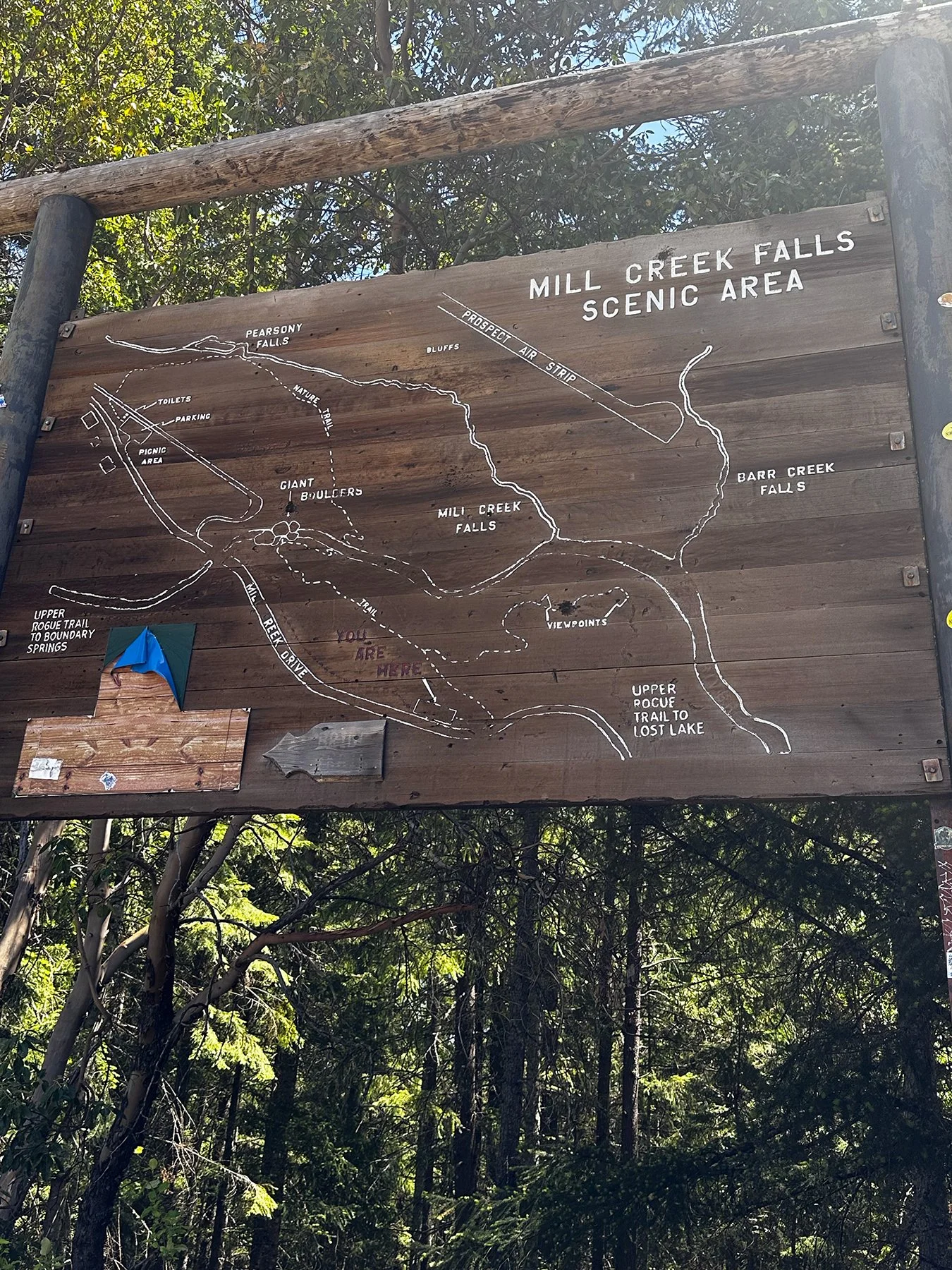
Prospect, Oregon
Our campsite was a good 30 miles from the park, and I was quite pleasantly surprised at the beauty all around us. We explored a number of outrageous waterfalls and hiked forested trails and giant boulders, meeting a bunch of nice people along the way.


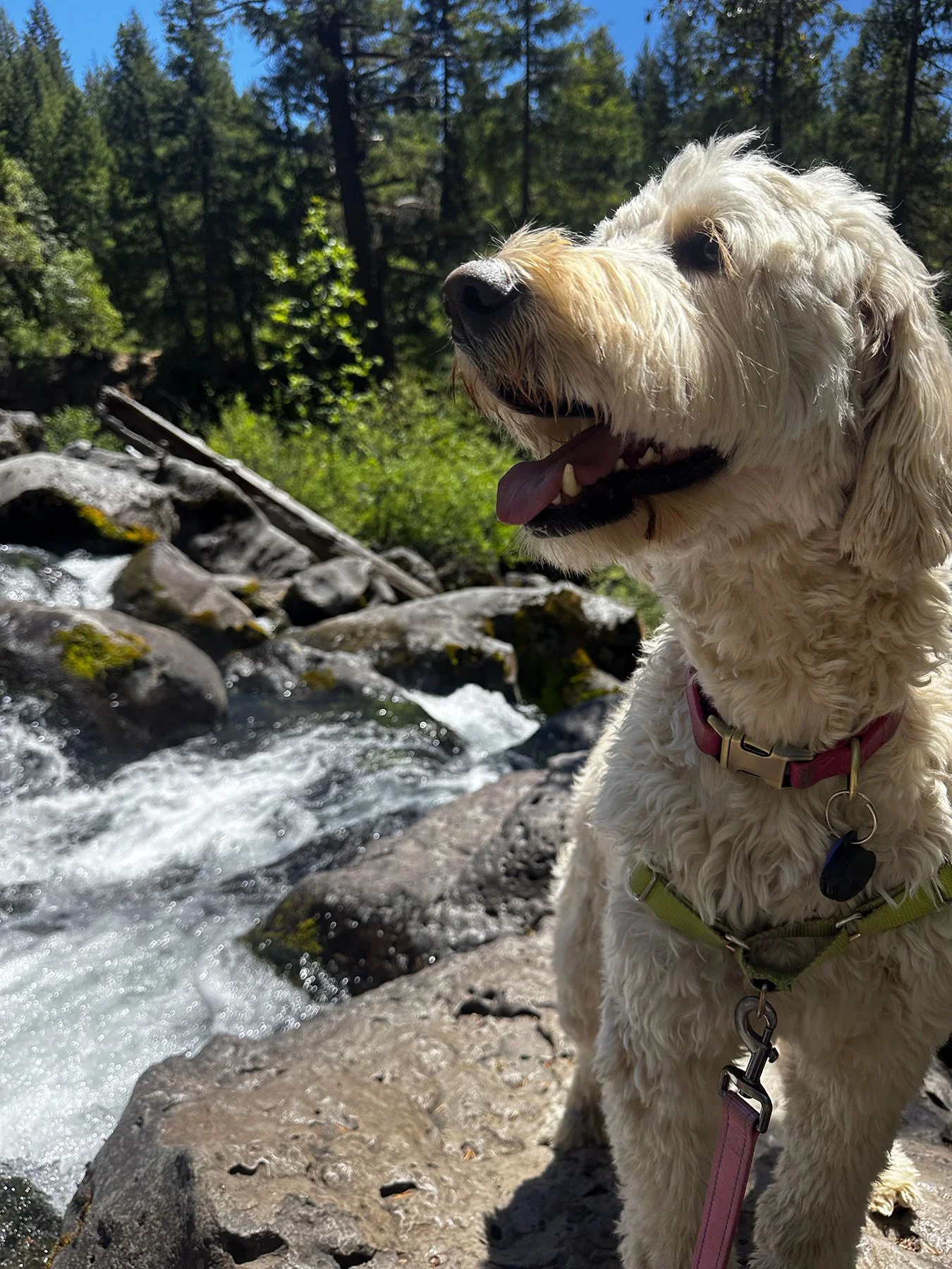

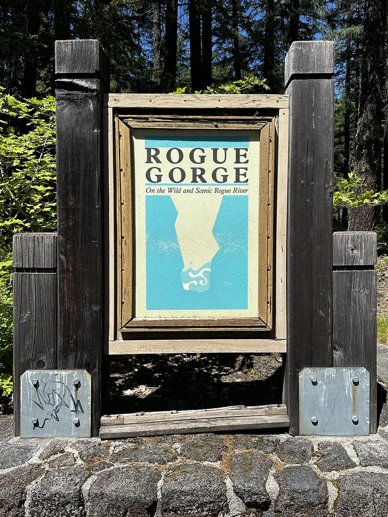
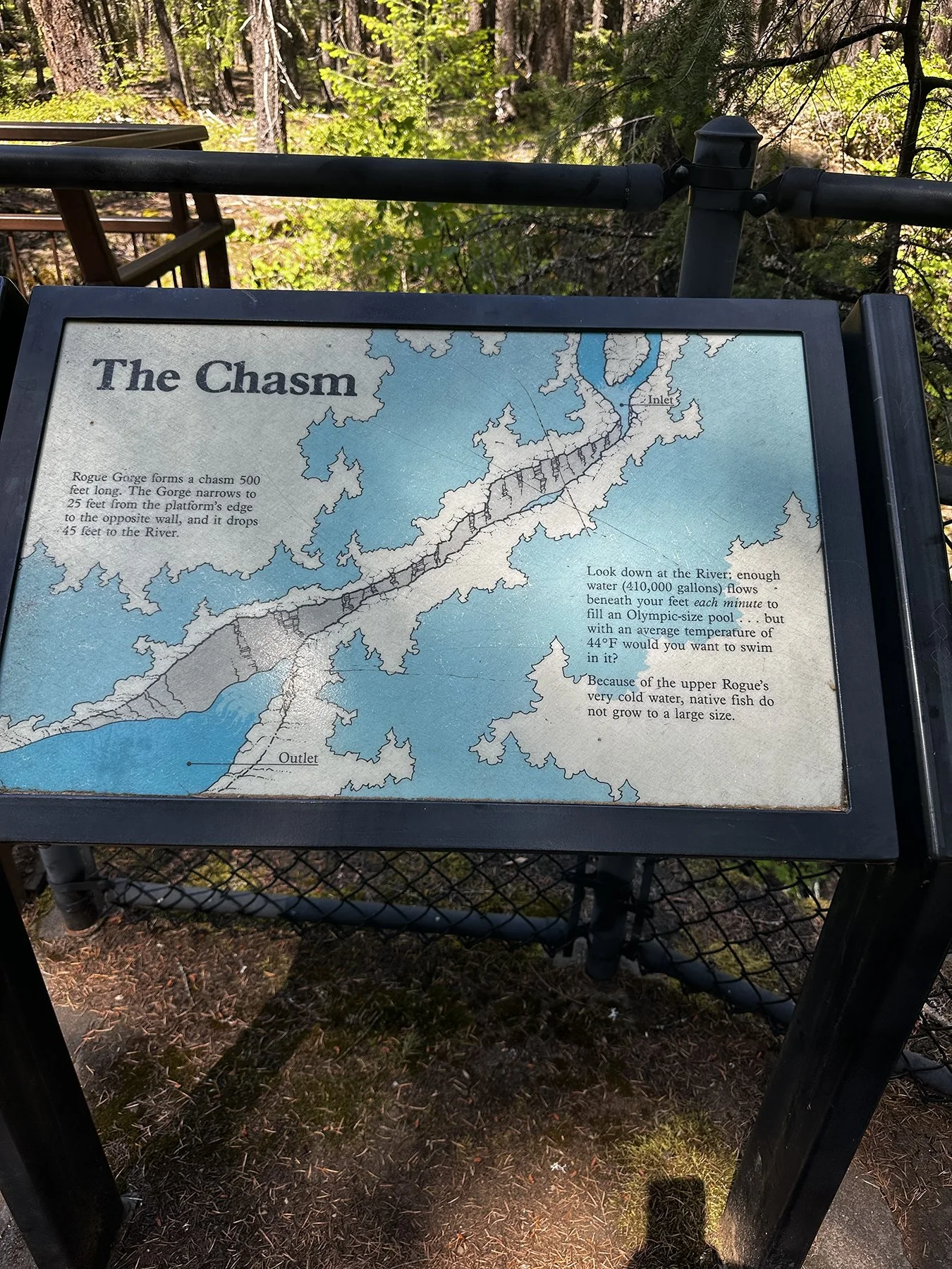
Then we ventured over to “The Wild and Scenic Rogue River.” The Rogue Gorge Trail offered spectacular views of the river and the narrow basalt canyons that it cuts through. The Rogue River is actually well-known for its nationally-recognized steelhead and salmon fishing. If I ever get back to this area, I would love to go white-water rafting further down the river. Who’s in?


On our third and final day, we headed back to Crater Lake to explore the lodge at Rim Village. What a beautiful place to sit and catch up on my blog! The huge log-and-stone building was the perfect setting for just relaxing and taking in the beauty of the lake. Overstuffed leather furniture, a massive stone fireplace (which had a glowing fire, even in May!), and beautiful lodge décor made the perfect setting to round out our trip to this amazing place.


What’s next for Maisie and me? How about the spectacular Oregon coast?
Did Someone say Coastal Redwoods? Yes, Please!
How lucky am I that I have the opportunity to explore so much of God’s great creation that I’ve never experienced before? Well, maybe not lucky. But blessed. Losing the love of my life was hard, y’all. Hard. No matter that it was a long, slow decline. One can never really be totally prepared. These RV trips were going to be OUR trips. Michael loved the outdoors. And though he is in a totally different type of paradise right now, I am doing my best to experience the outdoors the way he would if he were still here. Our own little paradise on earth. I don’t think God wants me to spend too much time in the depths of mourning; he wants me to continue living my life, bringing Michael with me in my heart and seeing everything through his eyes.
I do get lonely. I mean, Maisie is great company—and I honestly don’t think I could do this without her. Another warm body to talk to (kindof), take care of, and explore together. If you’re reading this and feel like reaching out to say hello, please do. Text, email, WhatsApp, or Messenger any time. I’m often in places without much cell reception, but I’d love to hear from you and what’s going on in your life.
Well, after salivating over the majestic Giant Sequoias in Sequoia and Kings Canyon National Parks last month, I was thrilled to be back in an area where massive redwood trees thrive. I did not know at the time that there are actually three types of redwoods:
• Giant Sequoia (Sequoiadendron giganteum): The most massive trees by volume. They are found only in higher elevations (4,000–8,000 feet) on the western slopes of California's Sierra Nevada mountain range.
• Coast Redwood (Sequoia sempervirens): The tallest trees on Earth. They thrive exclusively in the moist, temperate fog belts of the Pacific Coast, stretching from central California to the very southwestern corner of Oregon.
• Dawn Redwood (Metasequoia glyptostroboides): The only deciduous redwood. They thrive in fertile, moist river valleys and are native exclusively to Lichuan County in central China.
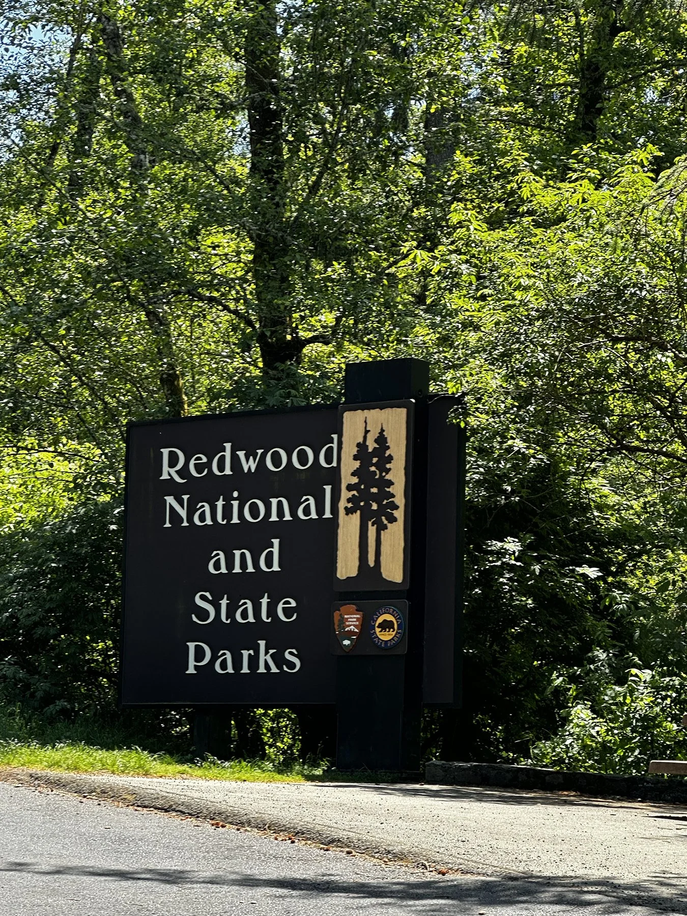
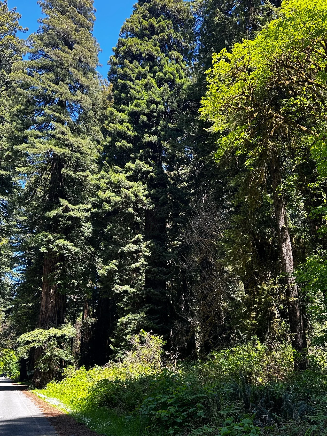
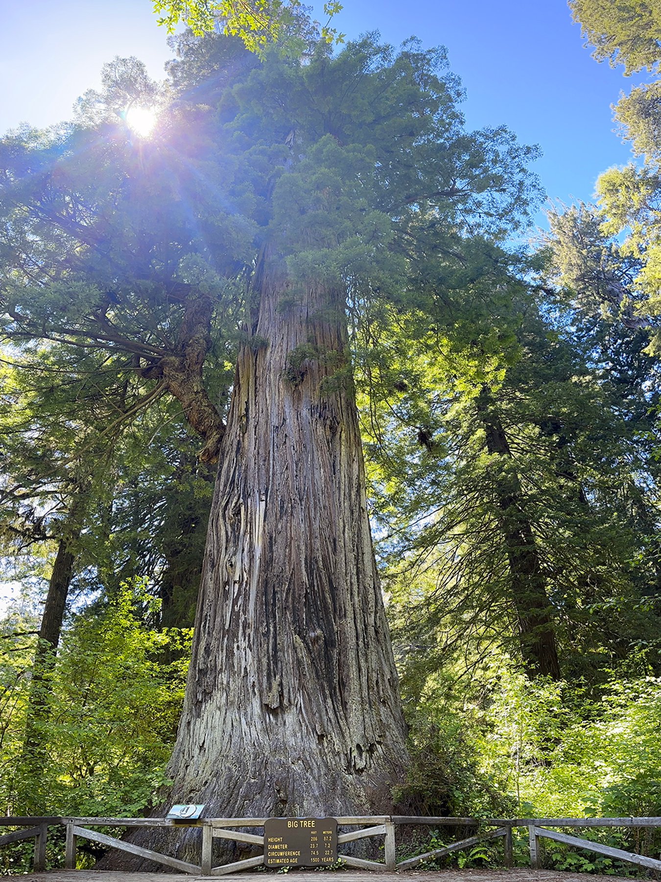
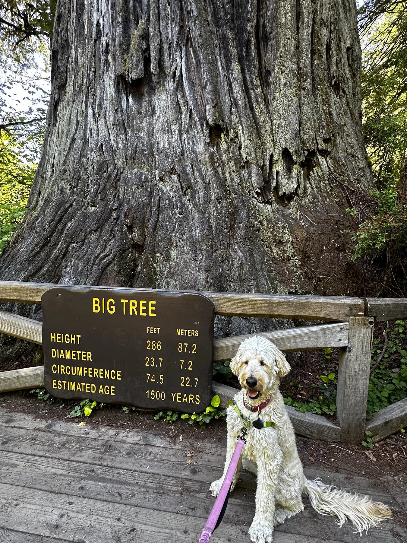
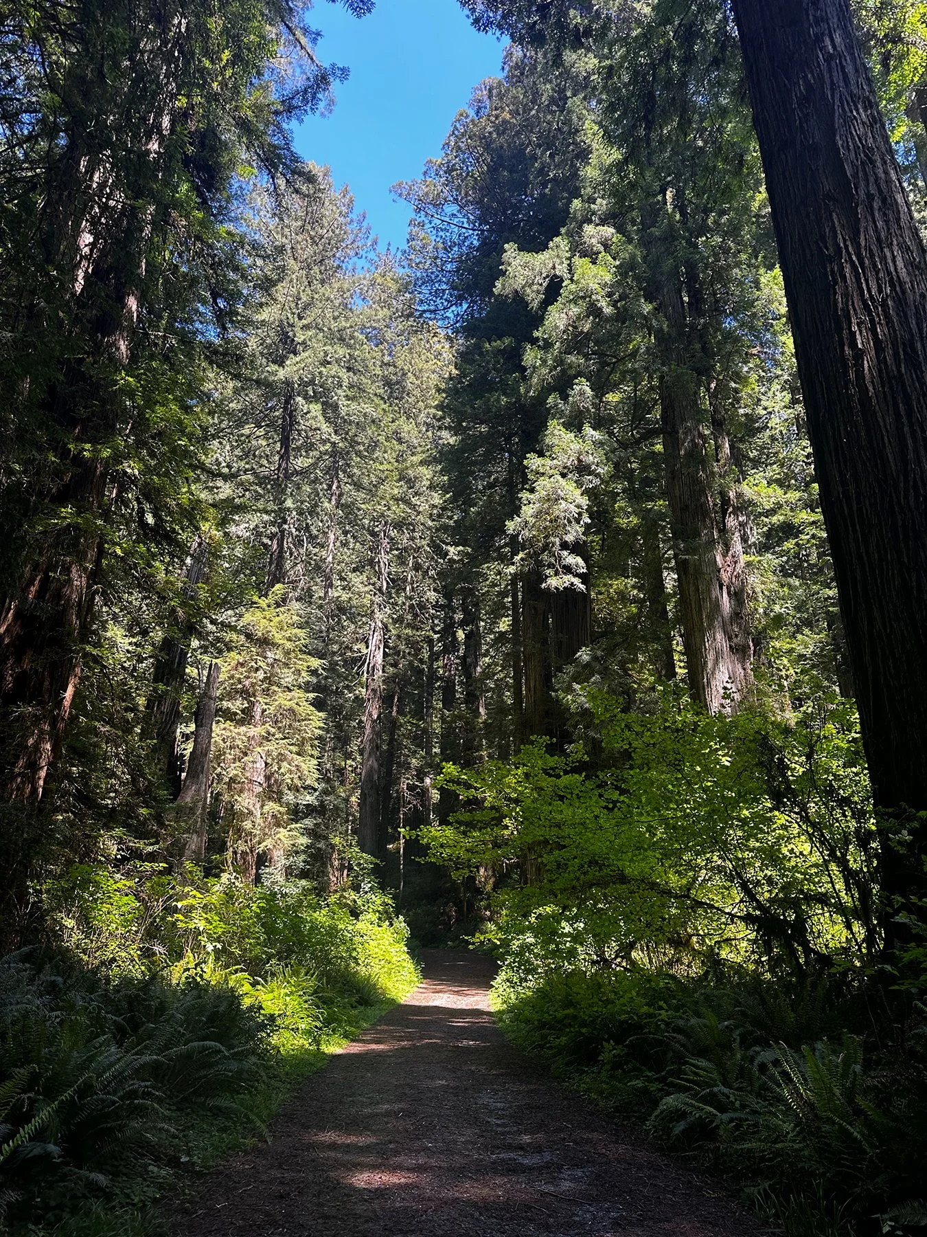
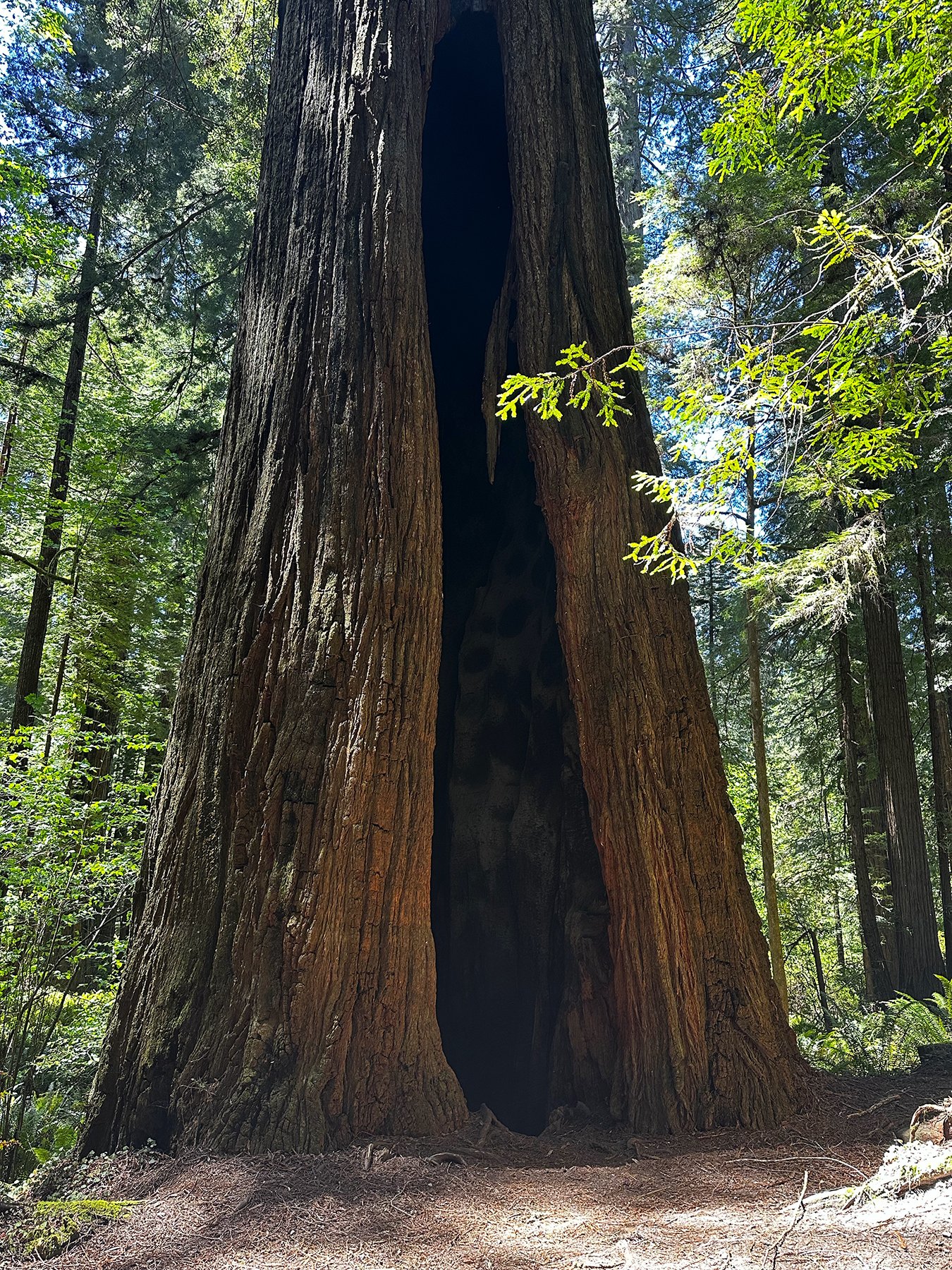
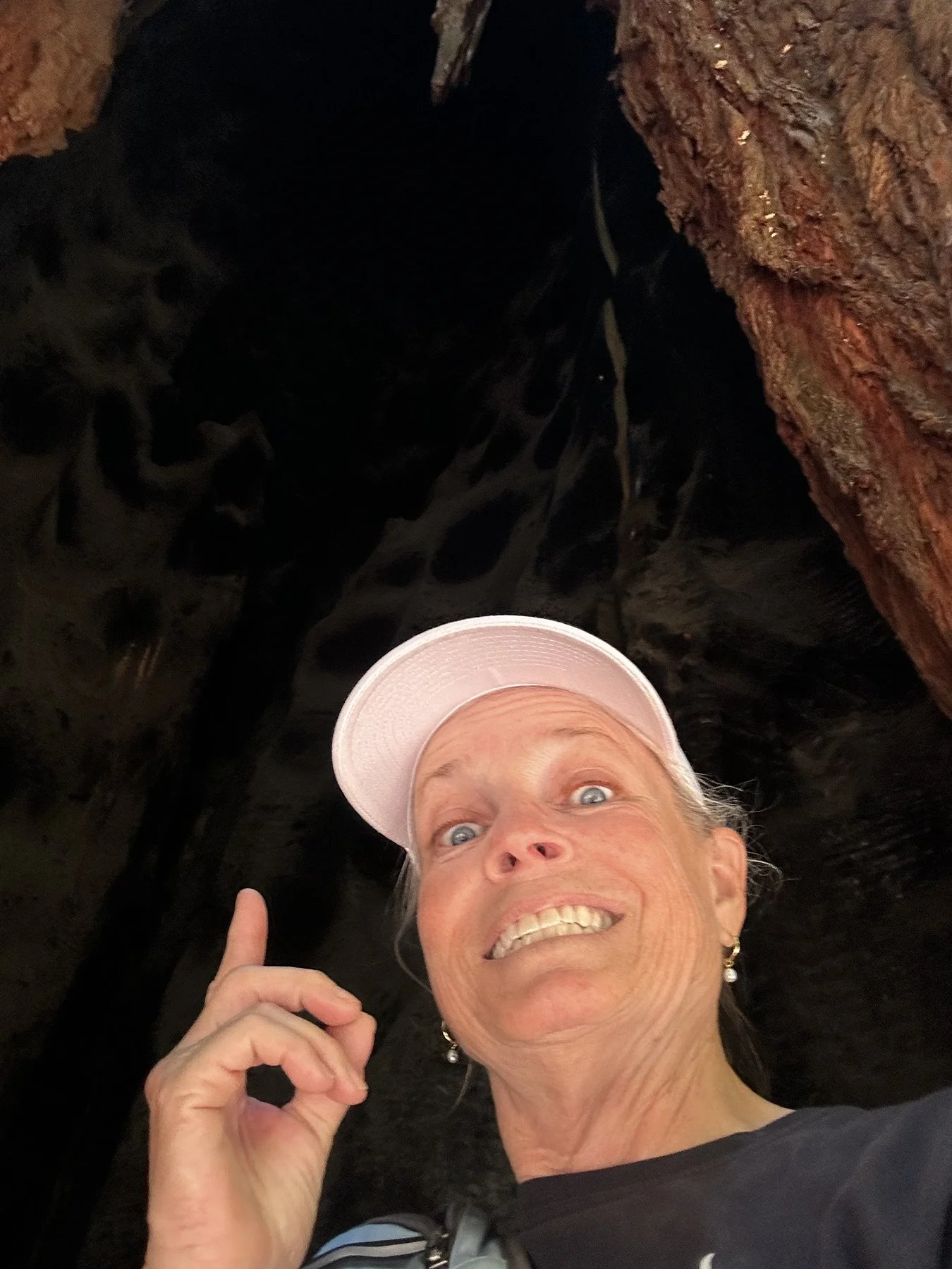
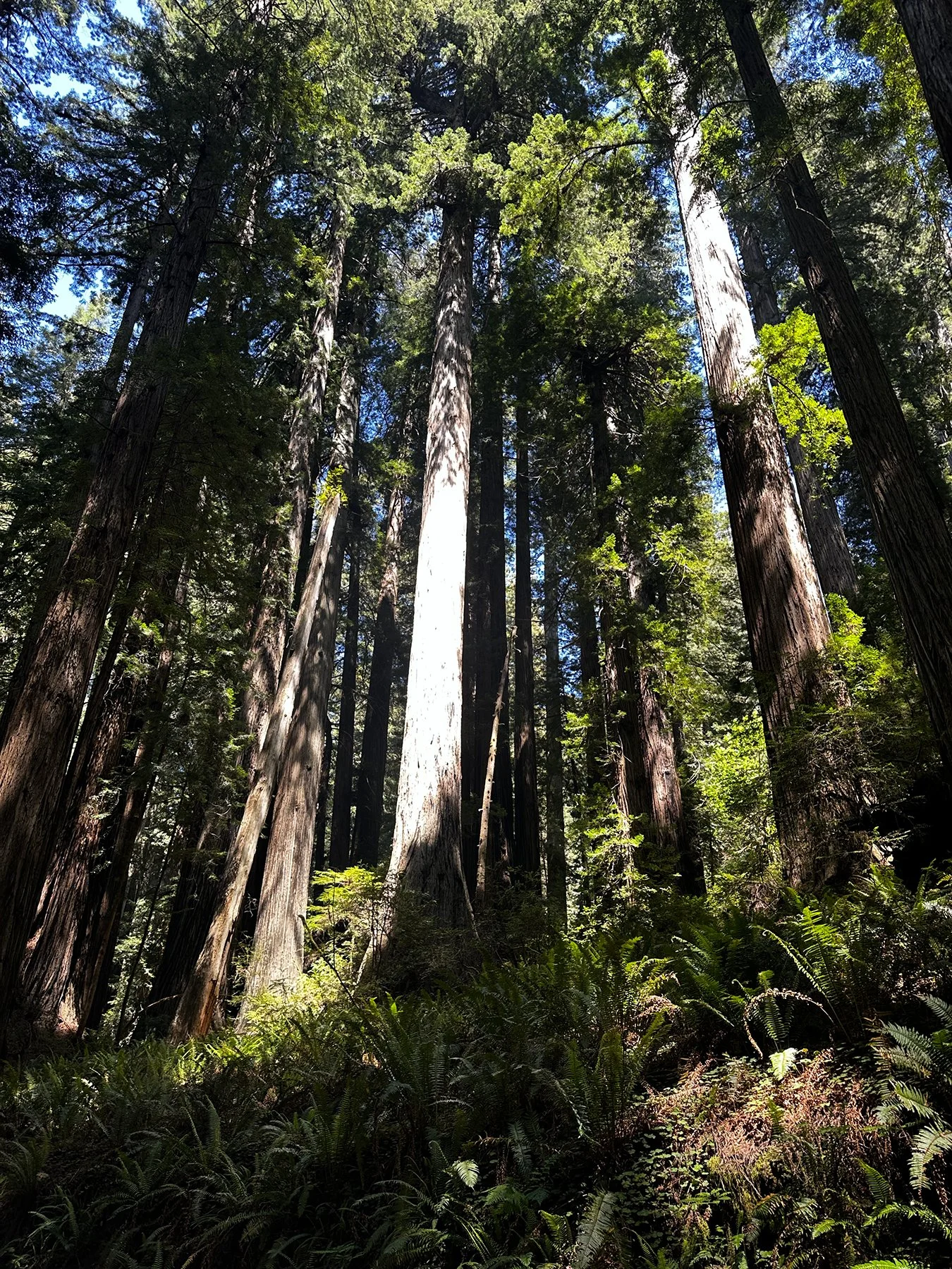
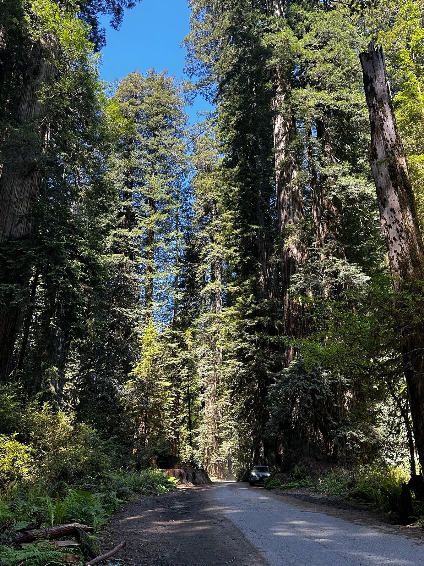
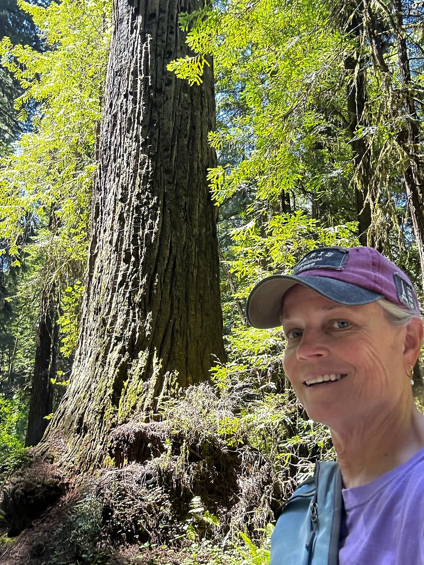
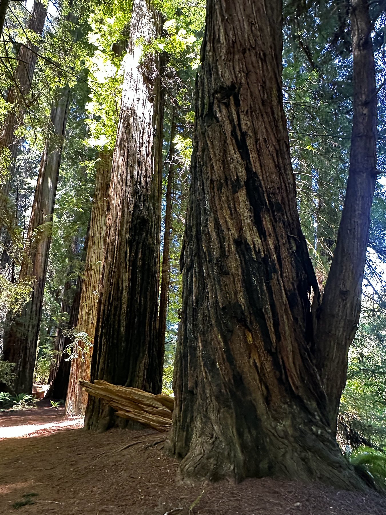
When they say that the Coast Redwoods are the tallest trees on Earth, they are not kidding! After leaving San Francisco, I spent four glorious days exploring the Redwood National and State Parks in Northern California. Only here are the conditions right for growing the world’s tallest—and some of its oldest—living things. I’m going to need my neck worked on as I spent most of the time looking up to try to see the tops of the trees!
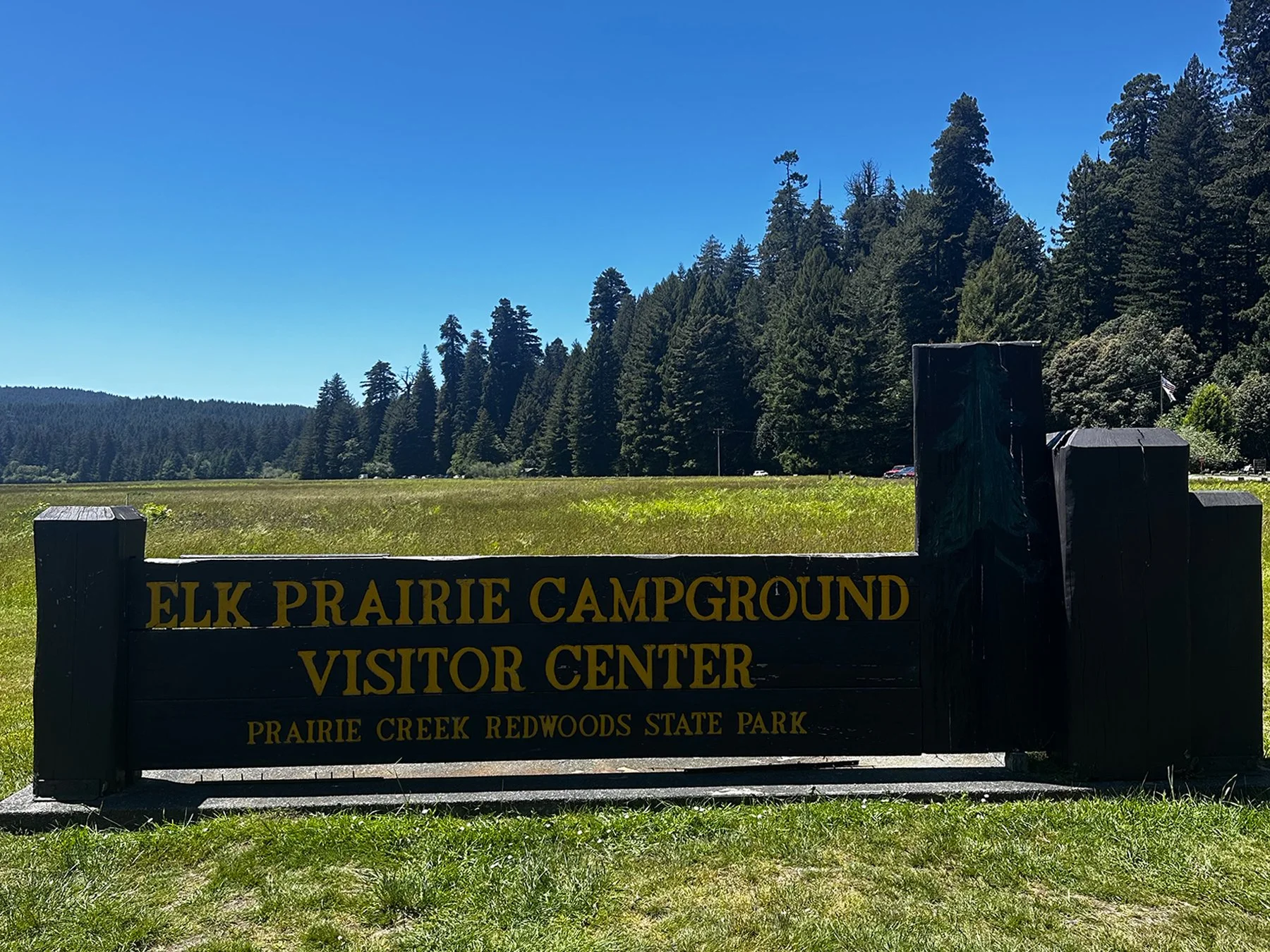
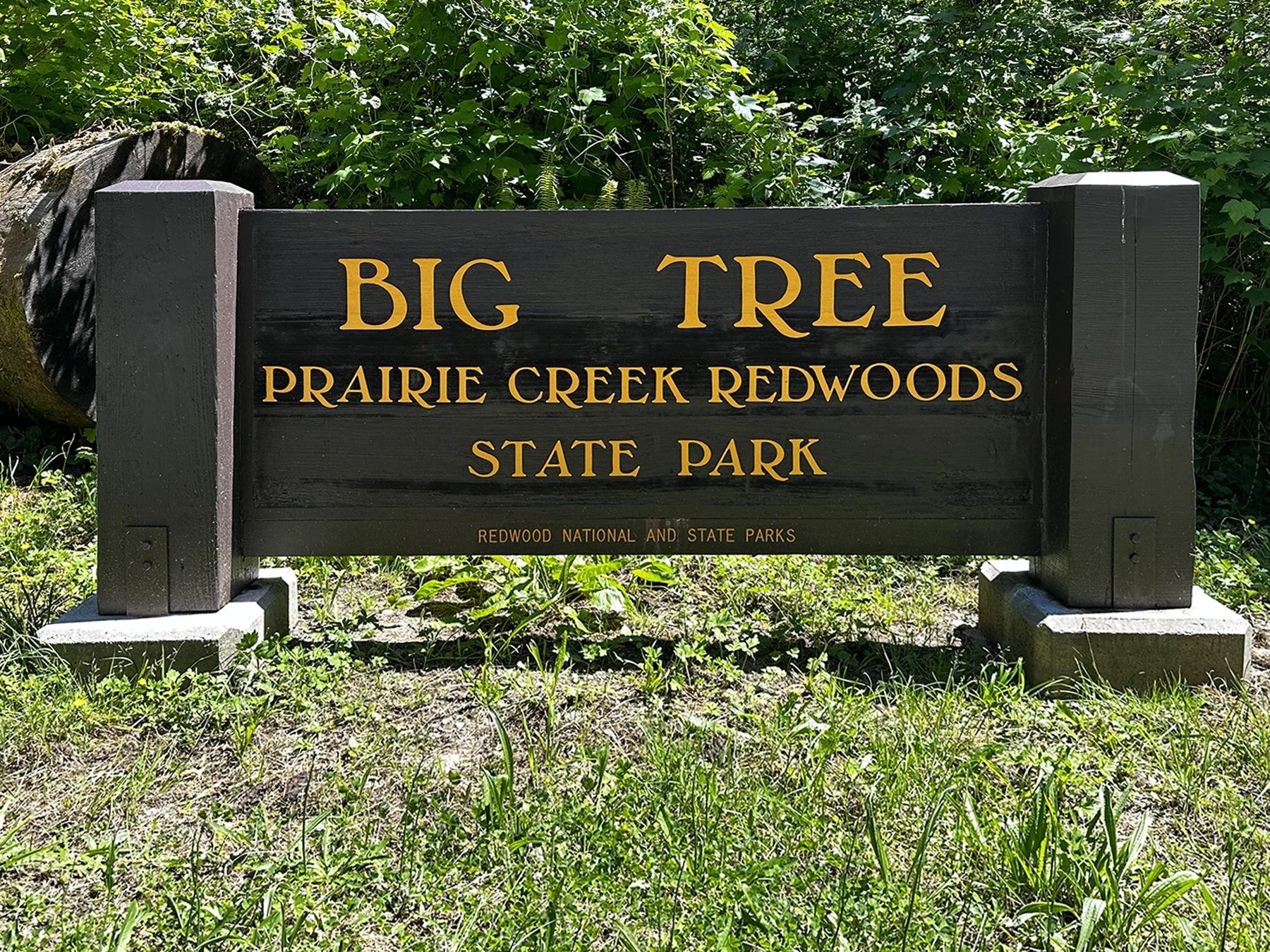
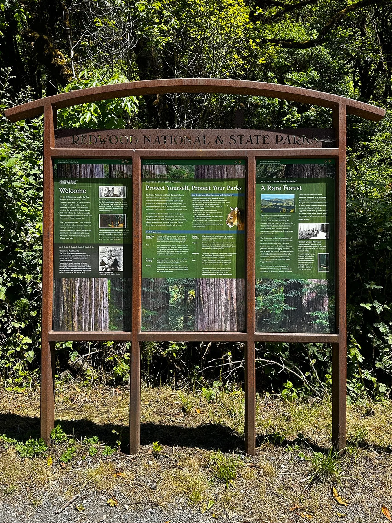
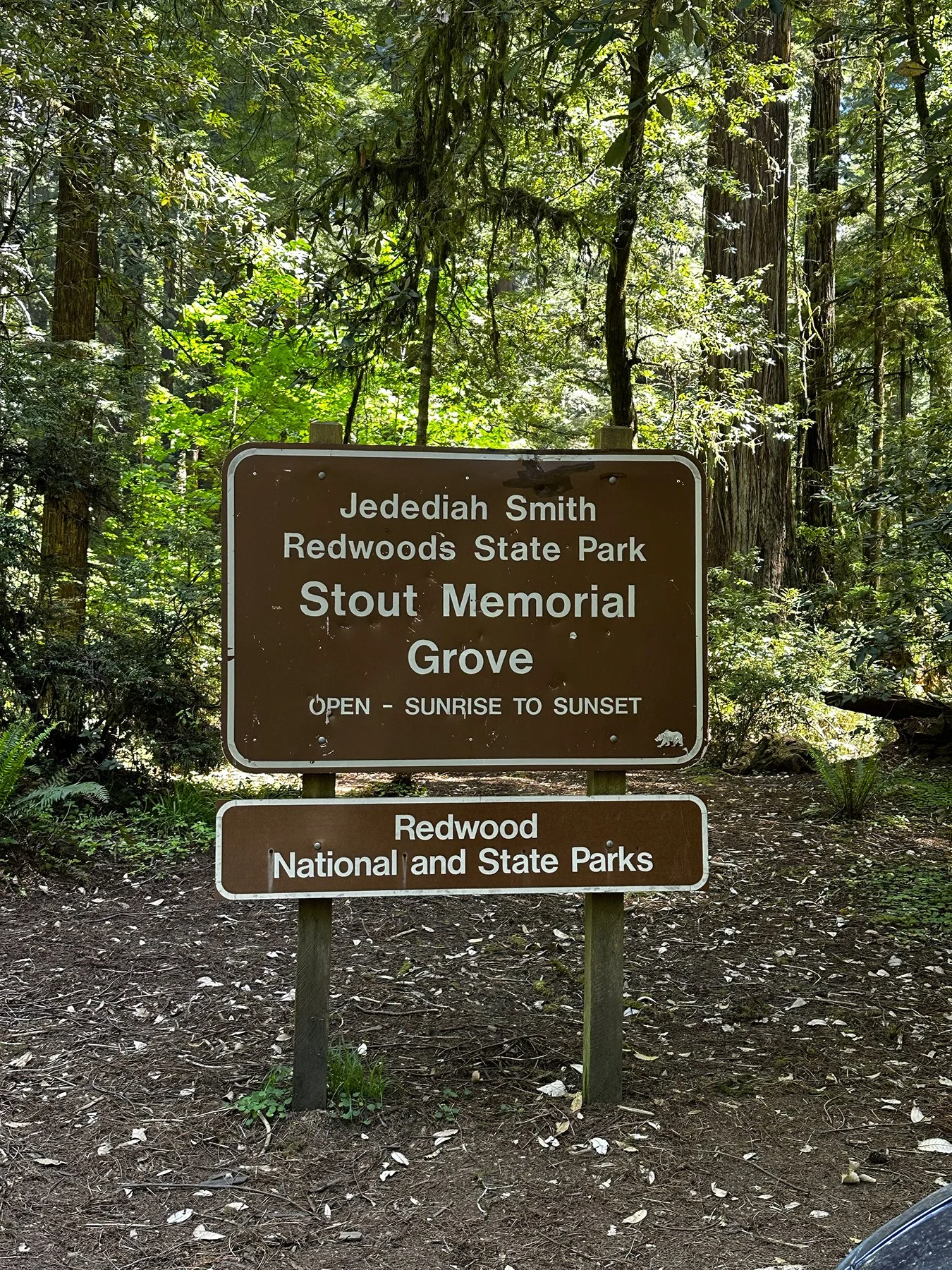
As the National Park Service notes, Redwood’ NPs landscapes span from open prairies and oak woodlands to pristine rivers and untamed coastline. This ancient home has supported people for thousands of years. Redwood National Park is jointly managed with three California state parks—Jedediah Smith Redwoods State Park, Del Norte Coast Redwoods State Park, and Prairie Creek Redwoods State Park. Together, the National Park Service and the California Department of Parks and Recreation cooperatively operate all four as a single entity known as Redwood National and State Parks. They work together to safeguard and rejuvenate these lands for everyone’s enjoyment, learning, and inspiration.
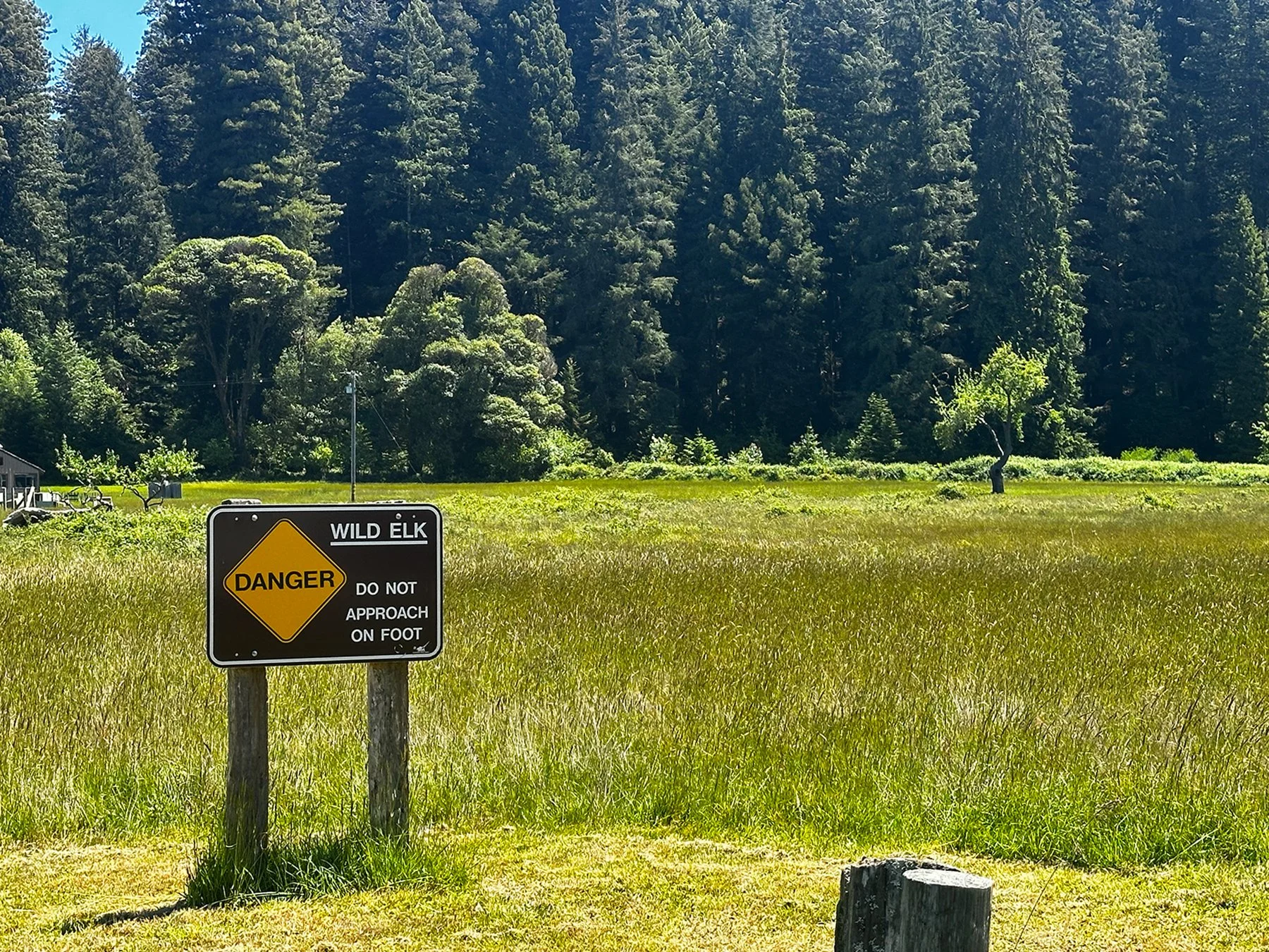
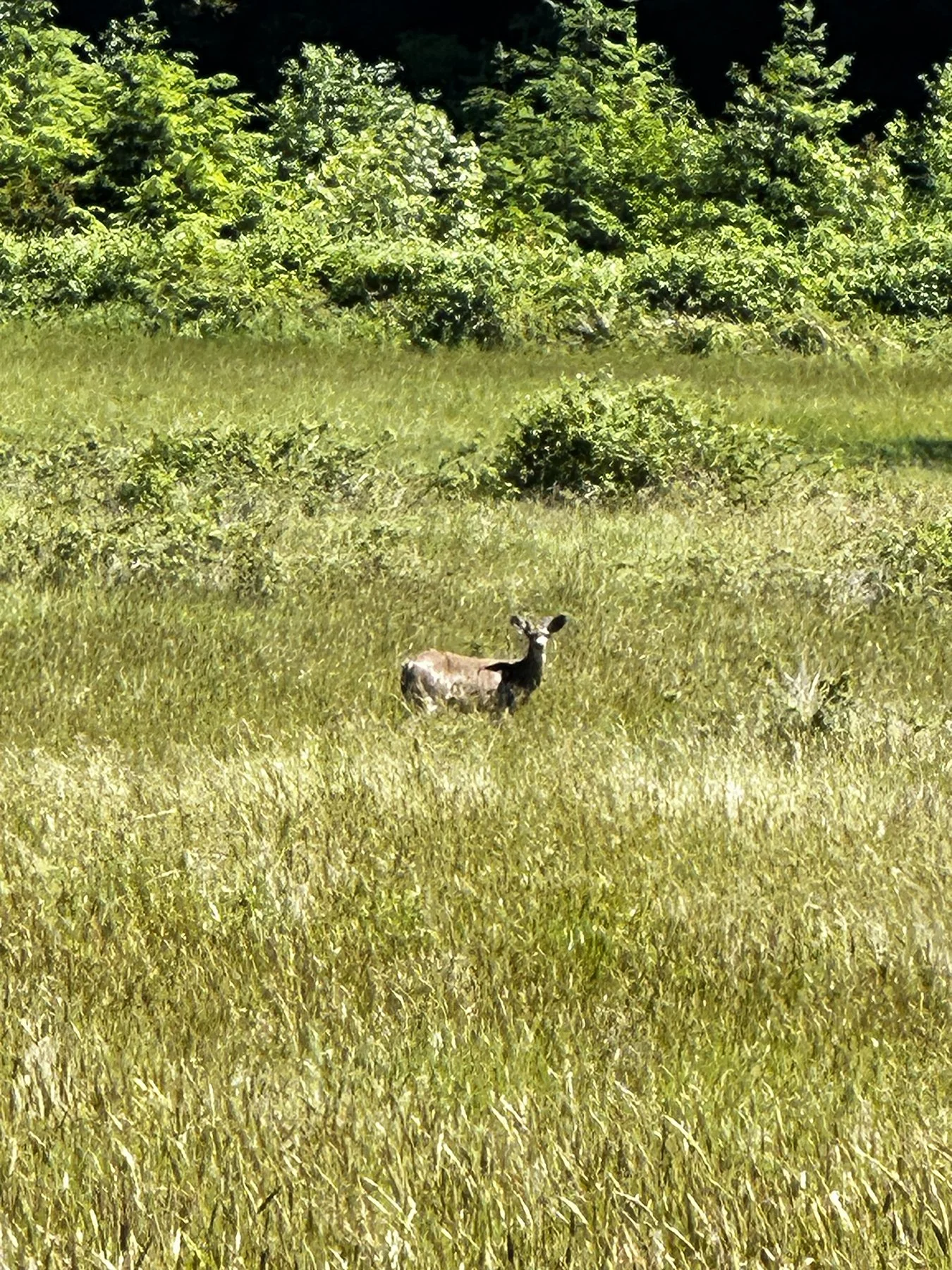
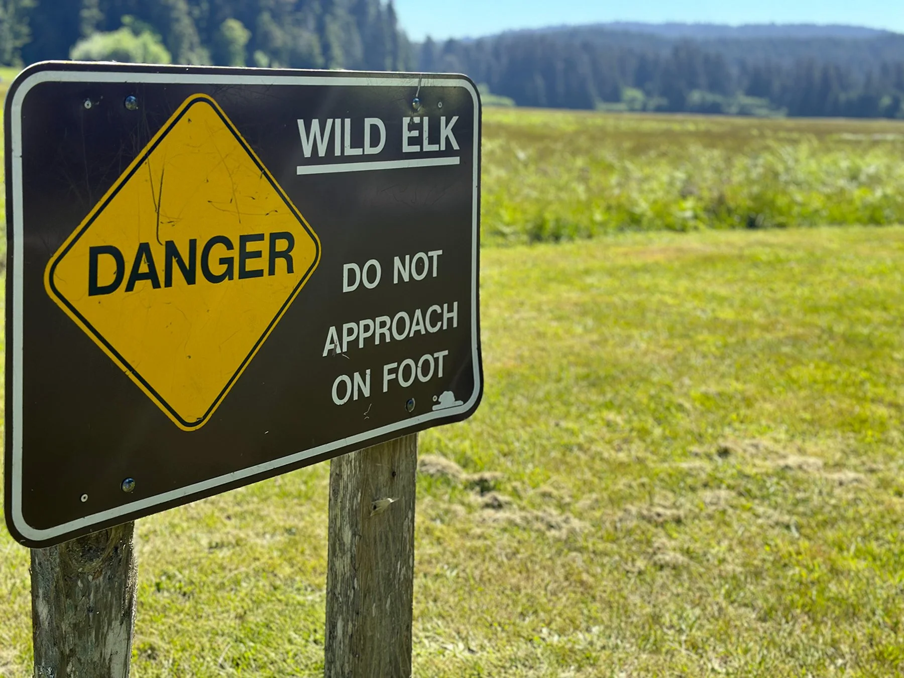
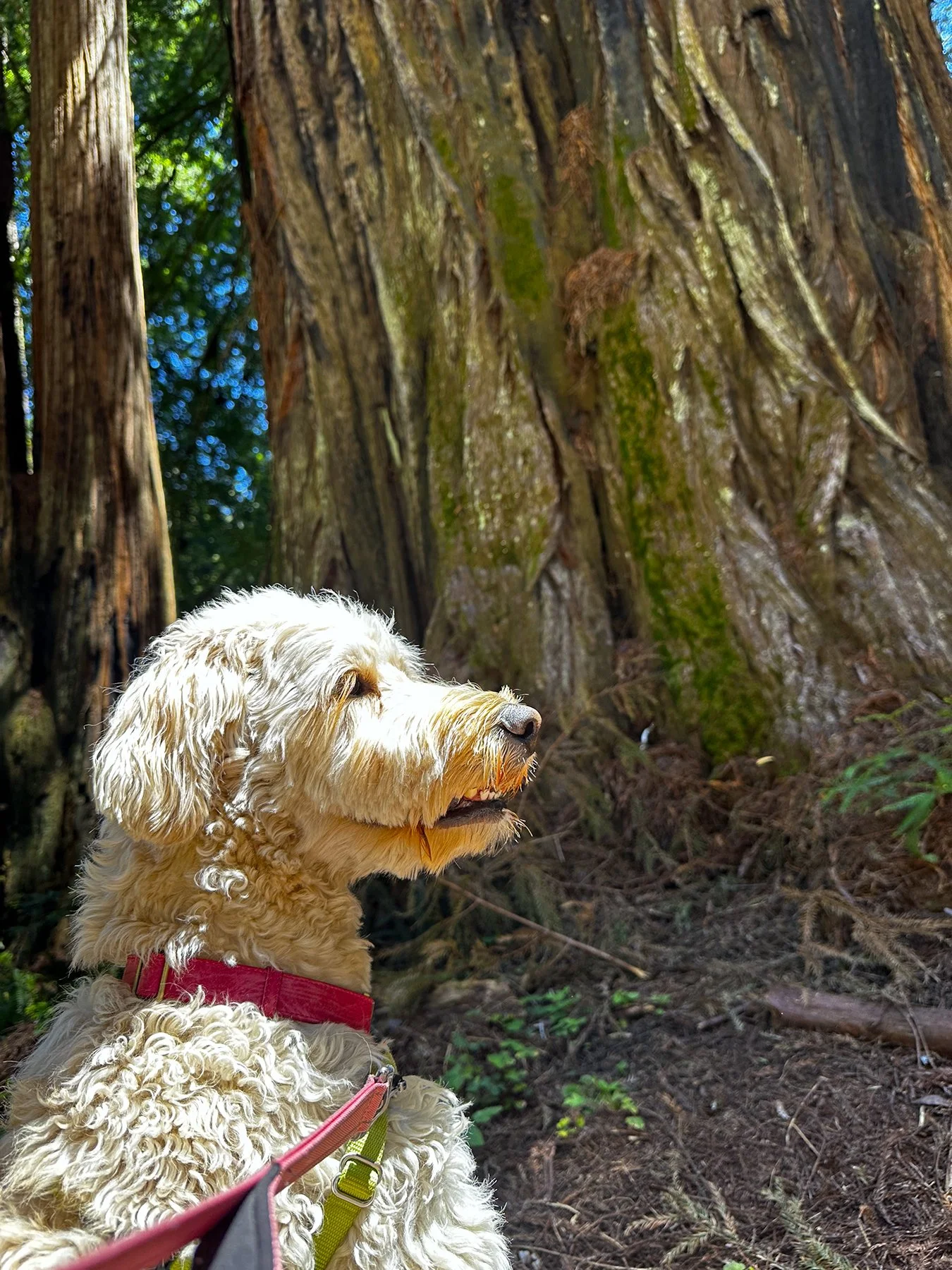
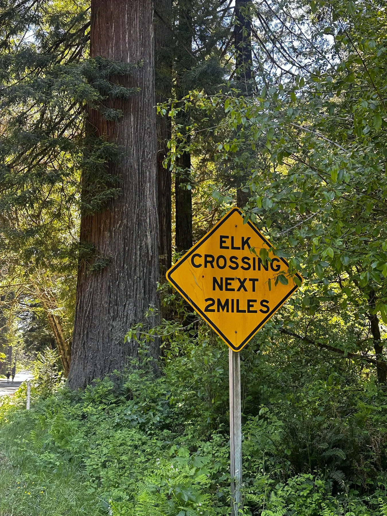
Enjoy, learn and be inspired indeed! Before embarking on this year’s RV trip to the west coast, I decided I wanted to focus a little more on hiking. This area of California surely provided an abundance of opportunities, with trails through prairies and redwood forests and along the Northern California coast. Here are some glimpses of the majesty of the forests we explored, as well as Elk Prairie, where I did actually see a few young elk:
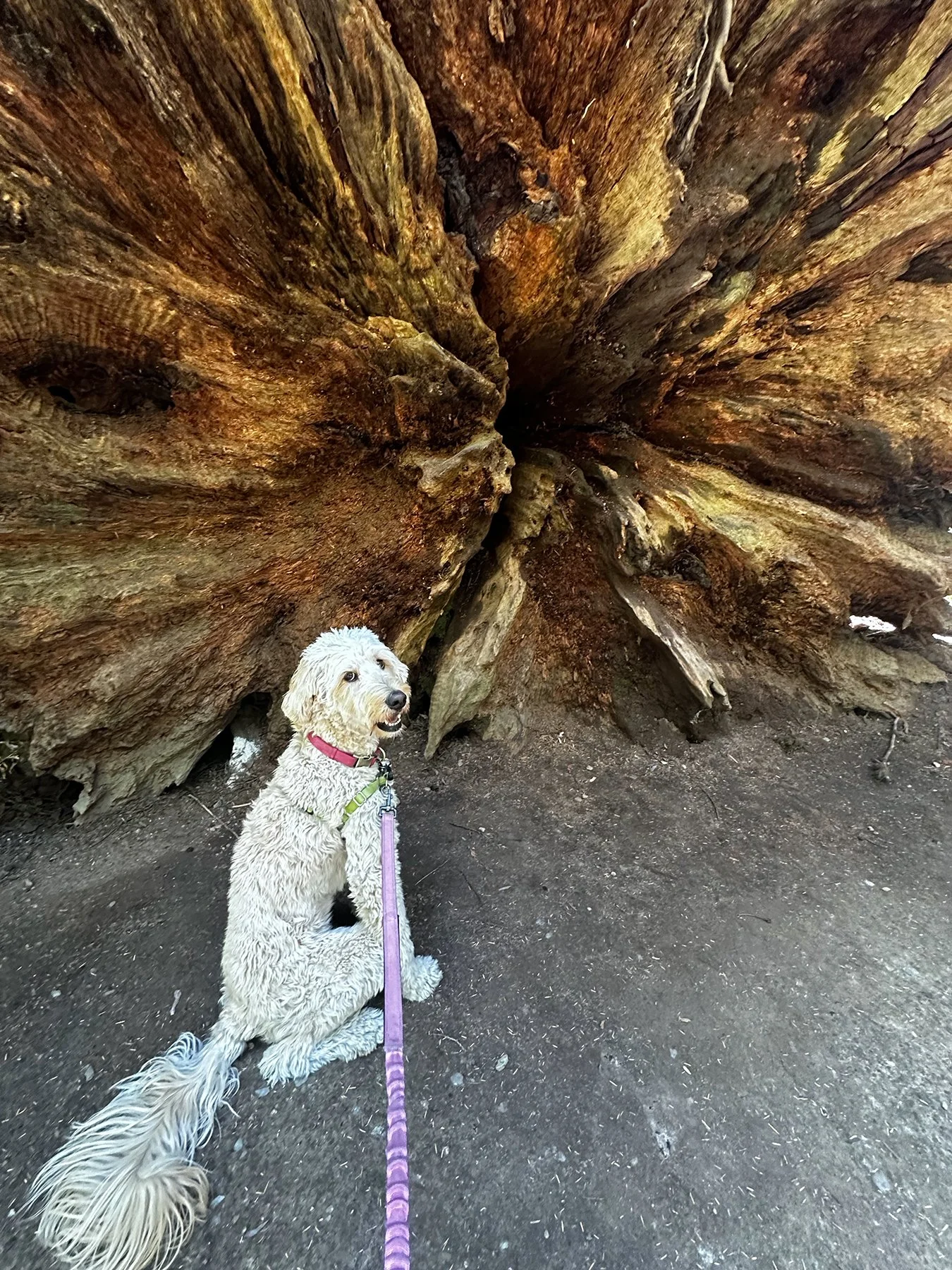
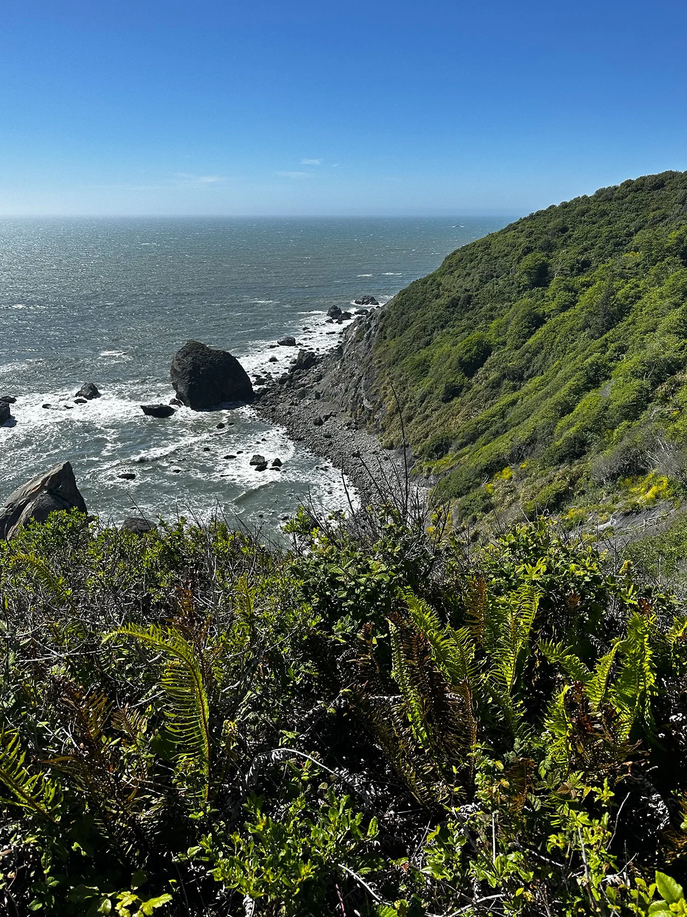
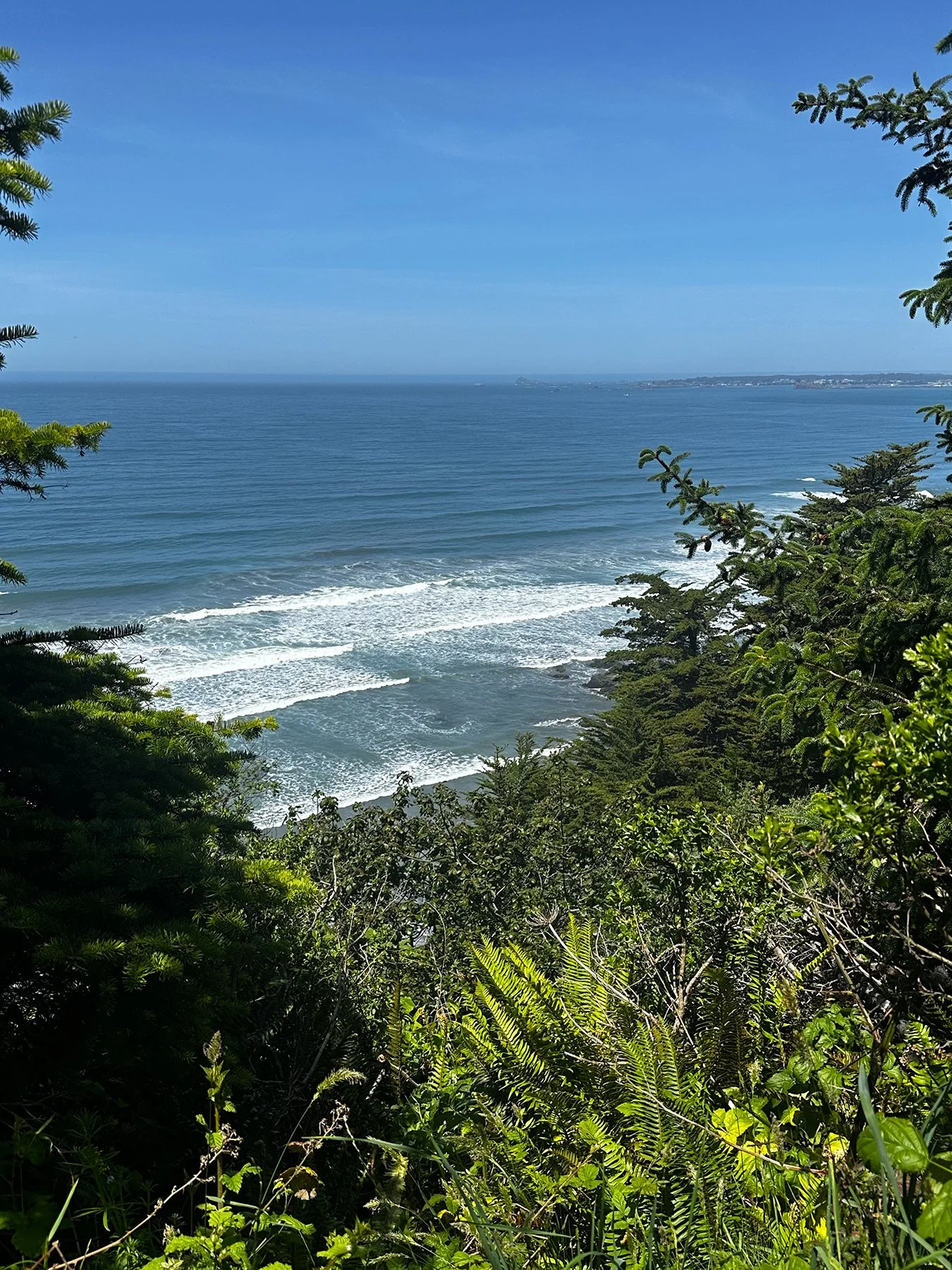
We also had to opportunity to hike along the coastline near Crescent City – sometimes down steep switchback paths to the ocean, and at times along the rocky beaches:


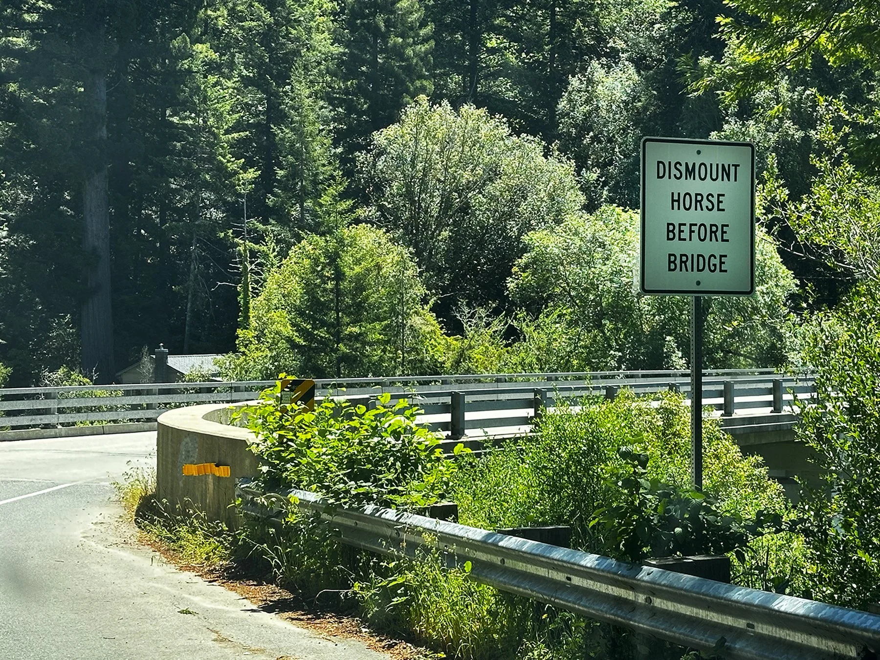
Best sign of the day? “Dismount Horse Before Bridge”!
The City by the Bay
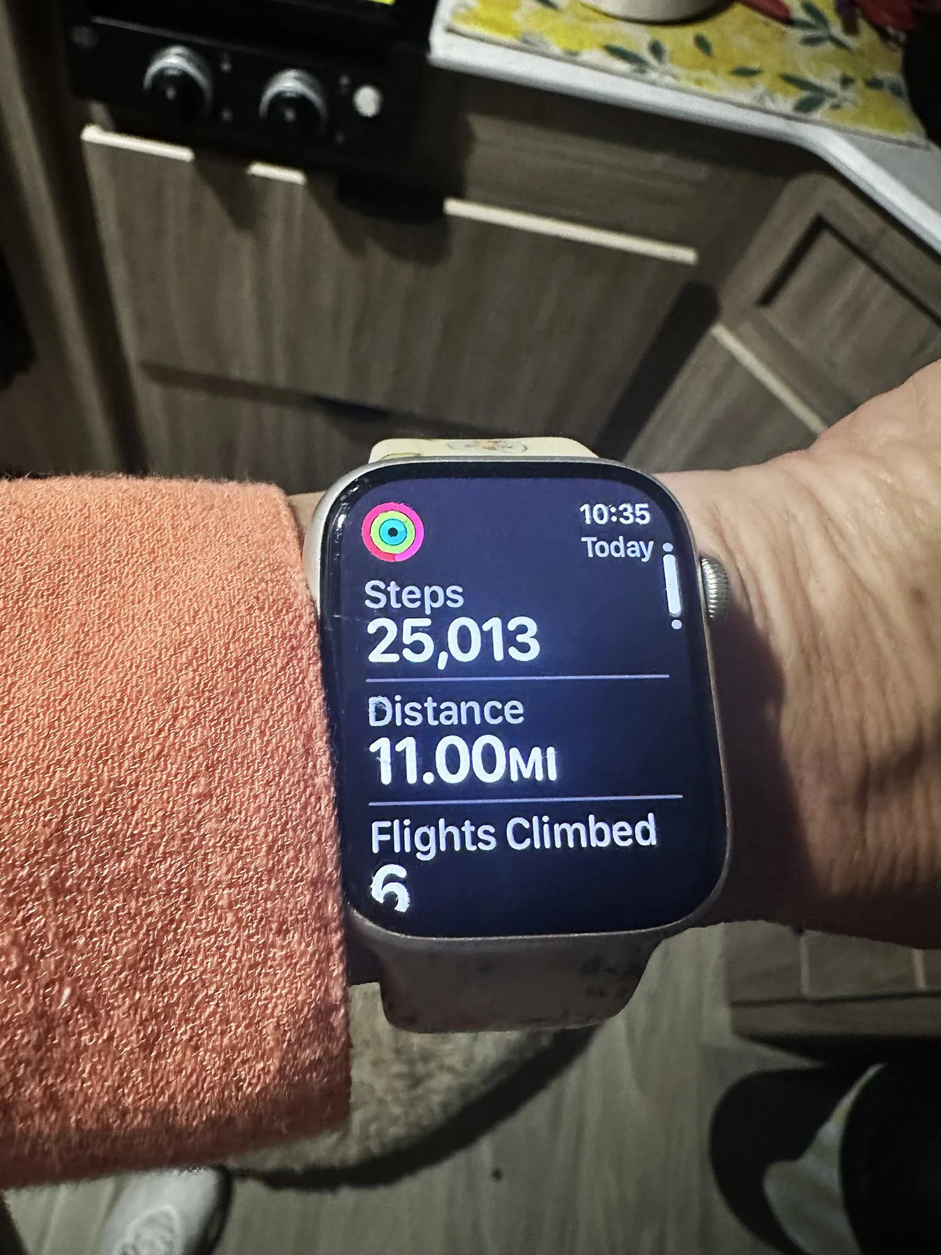
15.47 miles.
35,664 steps.
62 flights climbed.
That’s San Francisco in a nutshell—all in one day, all on foot! And to think I only covered a portion of “The Golden City.” I don’t necessarily always ascribe to the “Go big or go home” theory, but if I’m only going to have a short time to explore something new, I’m going to see as much as possible! And for all the effort it took to just get to this city by the bay, I thought it best to maximize our time there.
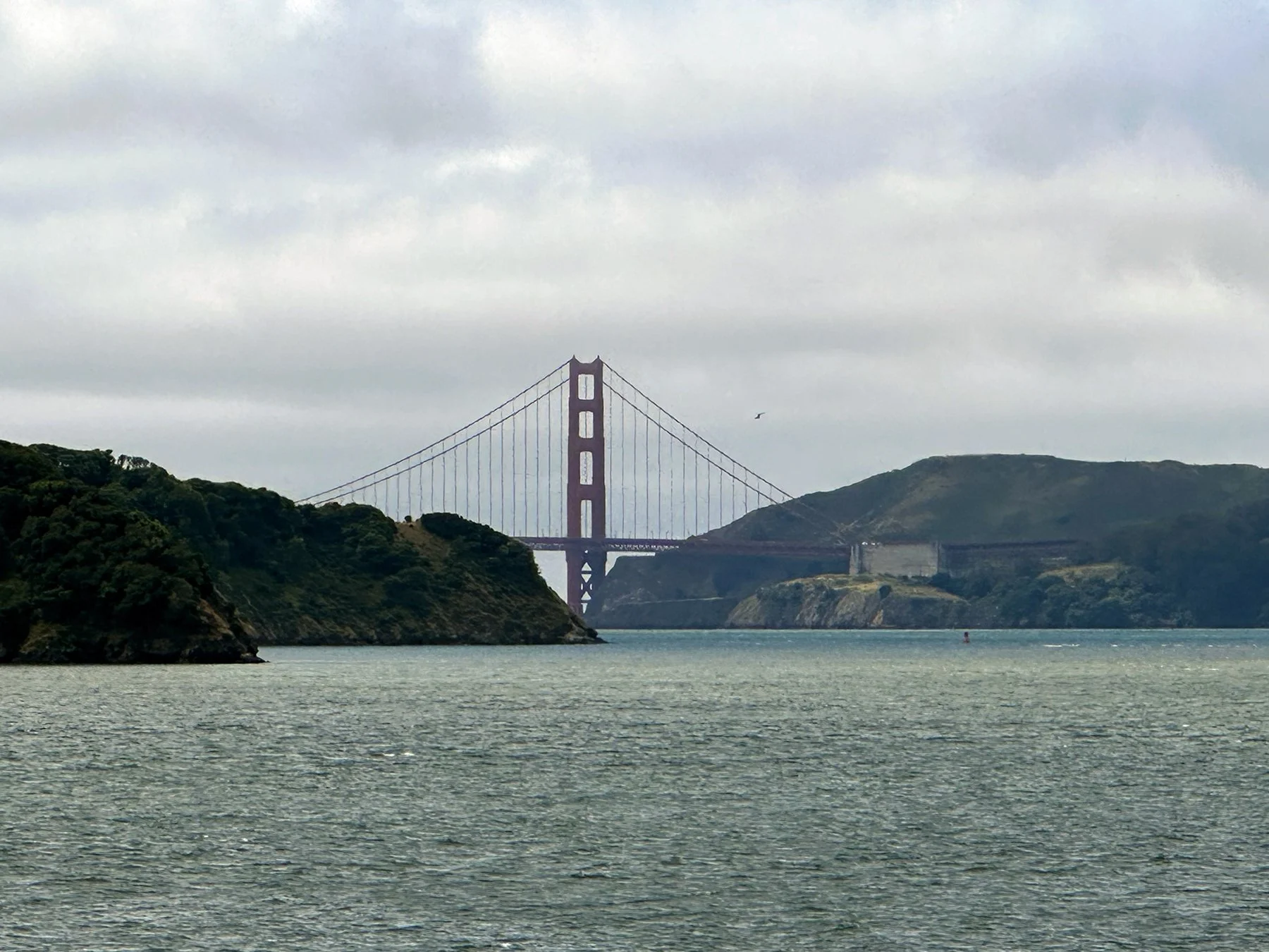
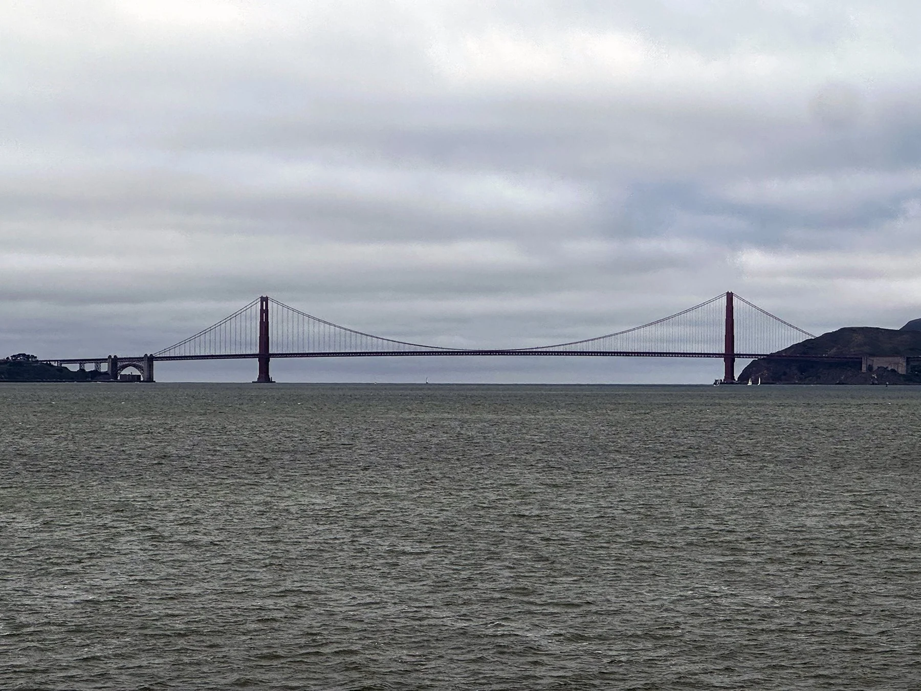
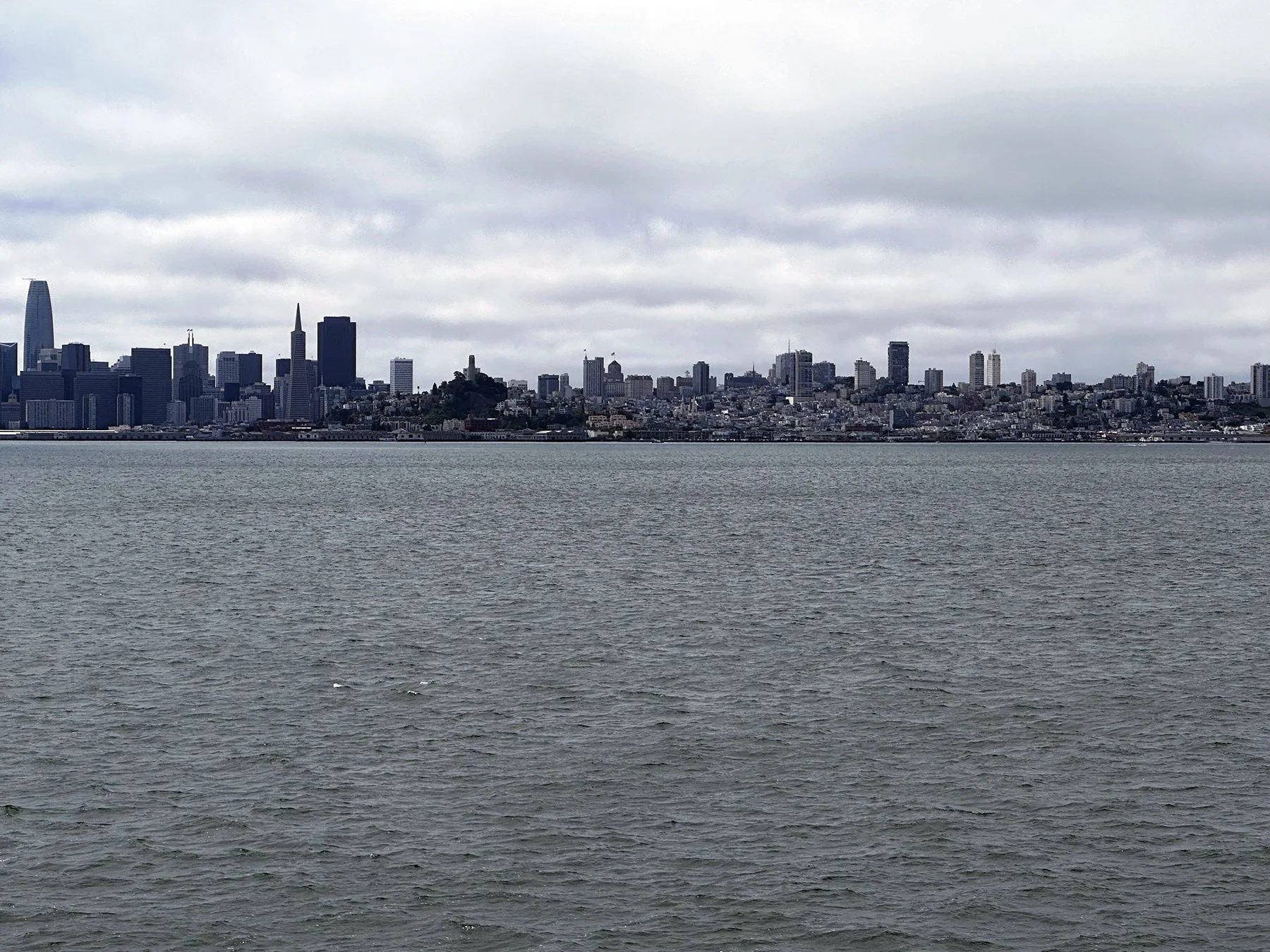
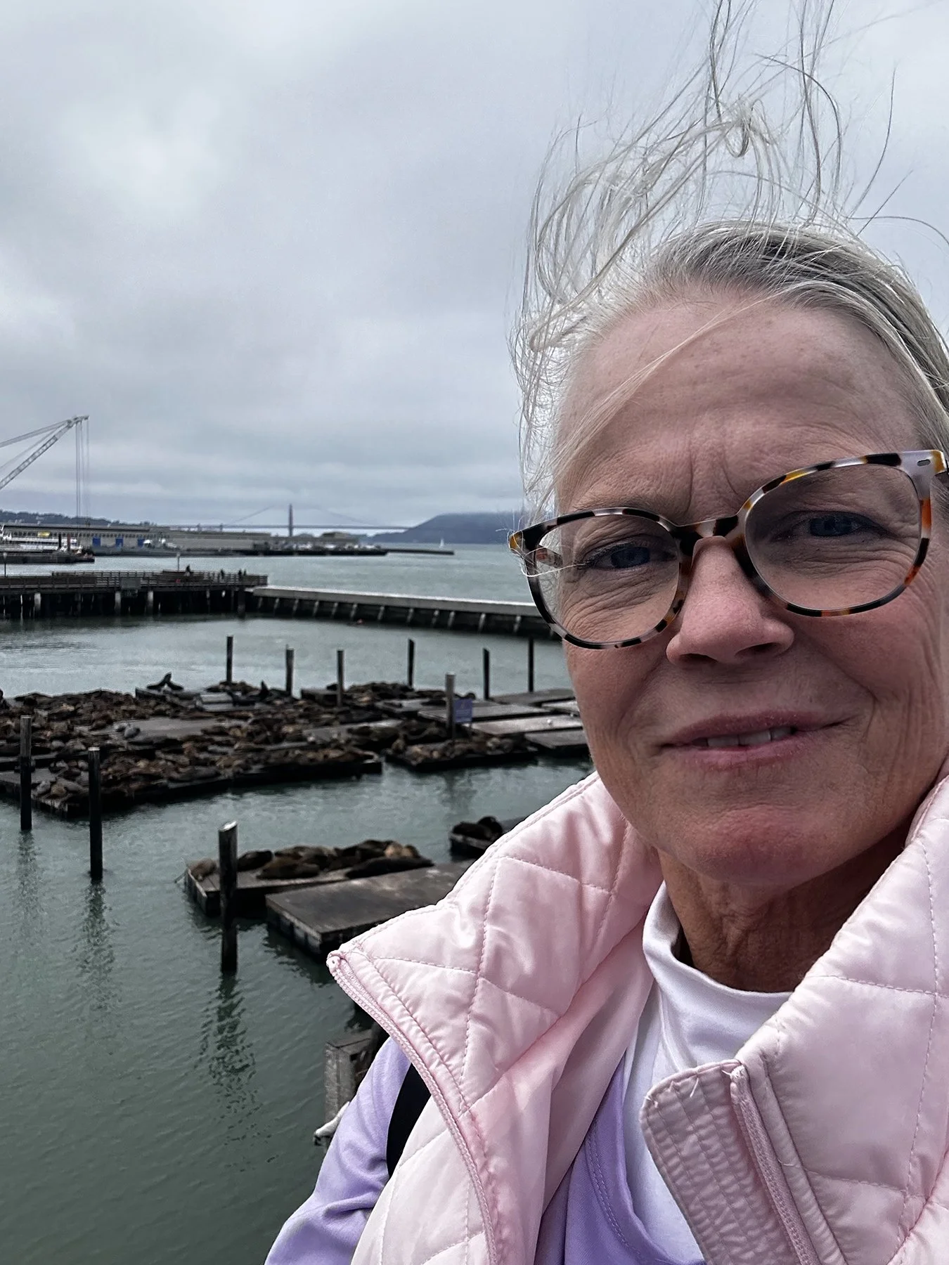
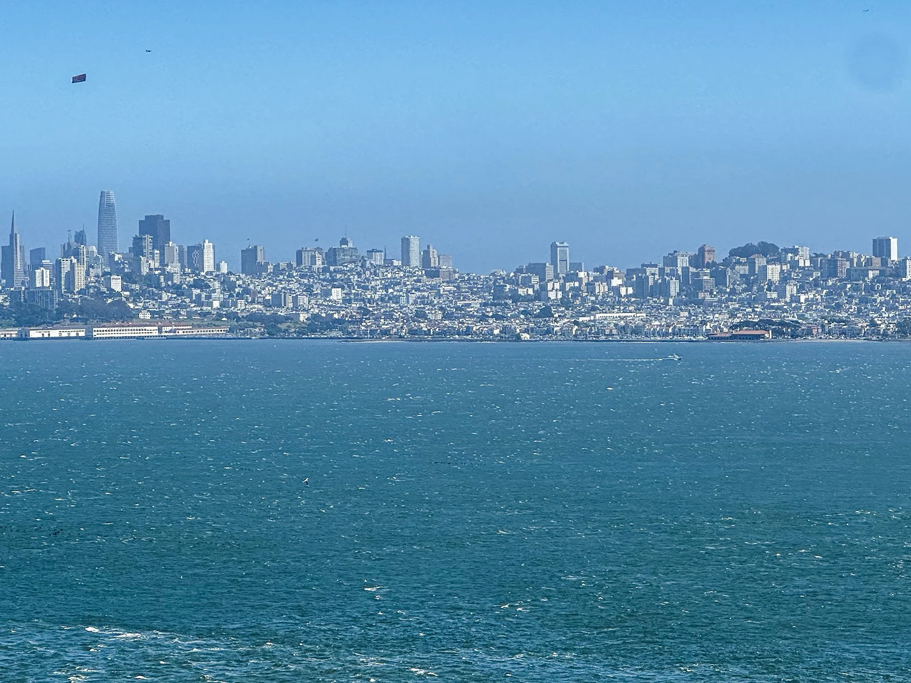
Staying in an RV Park in Petaluma (about 40 miles north), it seemed our best option for traveling to and from the city was via train and ferry. Maisie was a champ! While she had been on a ferry a few times before, the train was a new experience. She’s not the biggest fan of being on what is to her a moving floor, she nonetheless held it together and was loved on by other passengers (of course). Cool and foggy that morning (shocker, I know!), the ferry ride offered fantastic views of the two main bridges, Alcatraz and Angel Islands, and the San Francisco skyline. I ended up deep in conversation with an older woman from the area, so didn’t see as much as I might otherwise! Typical me.
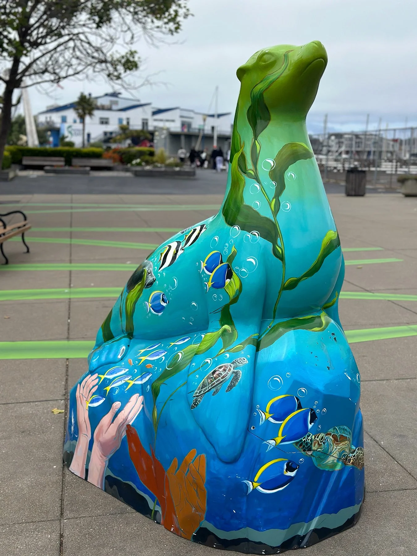
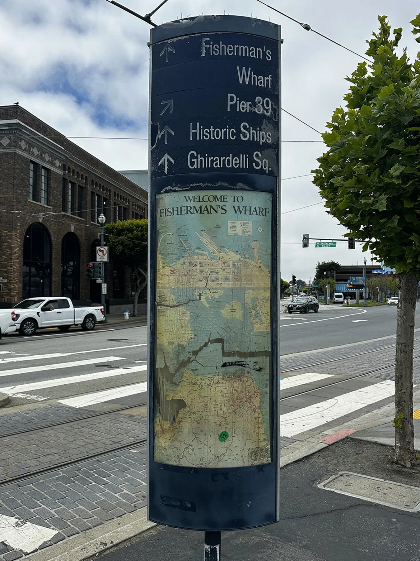
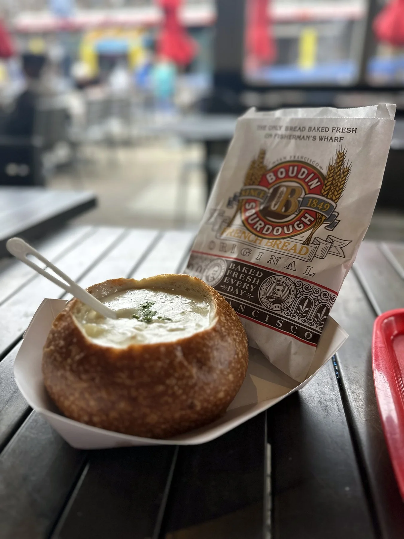
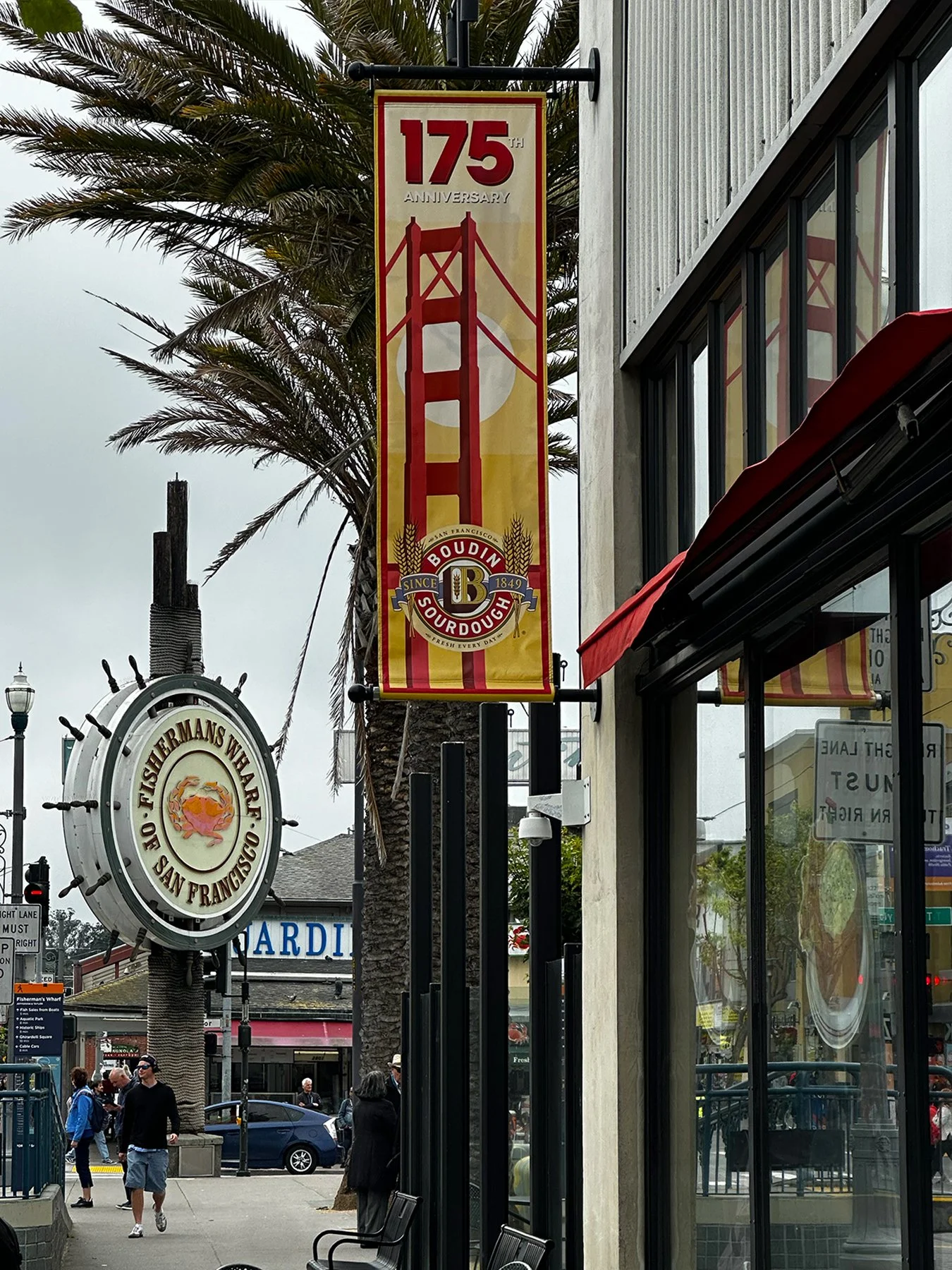
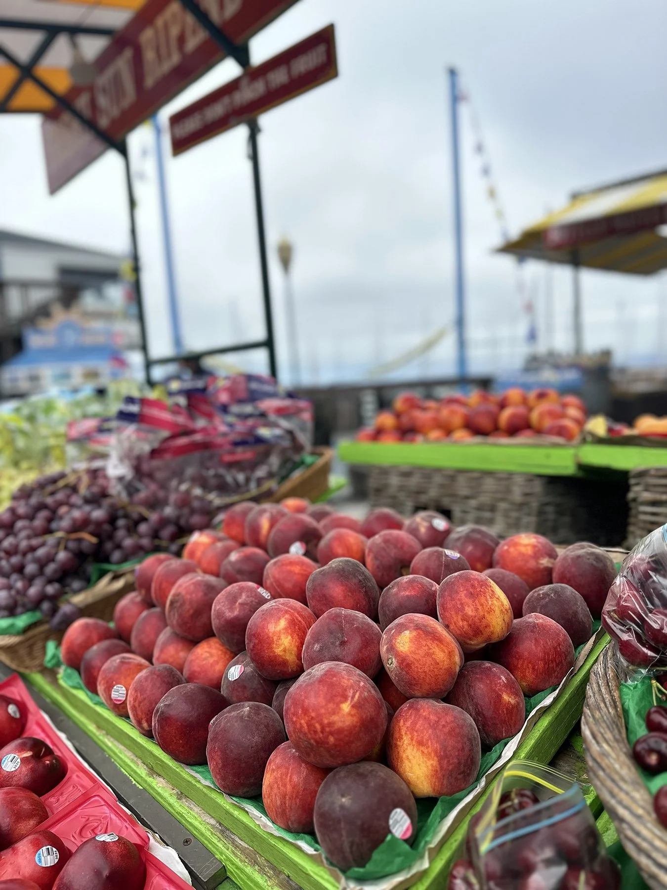
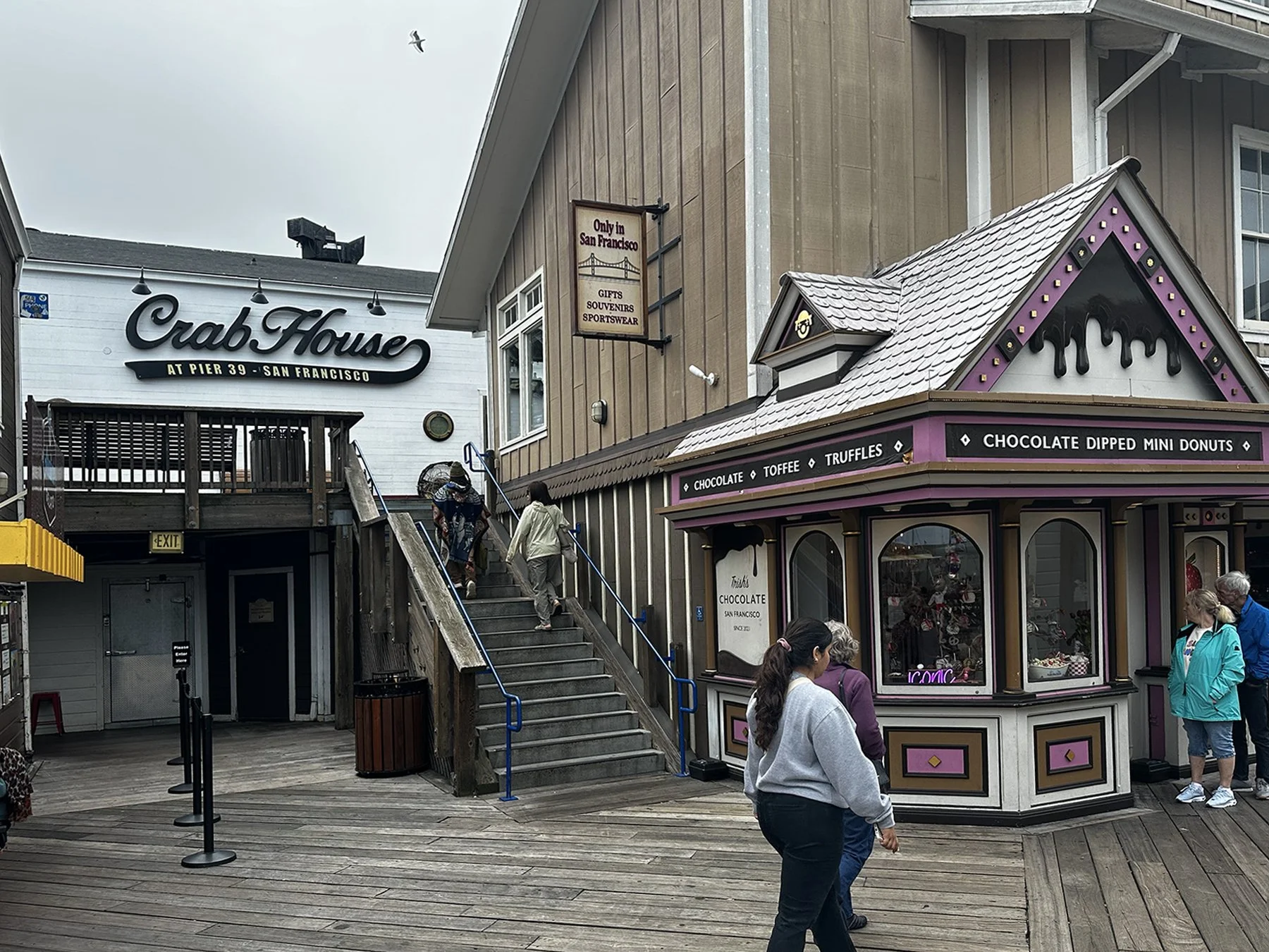
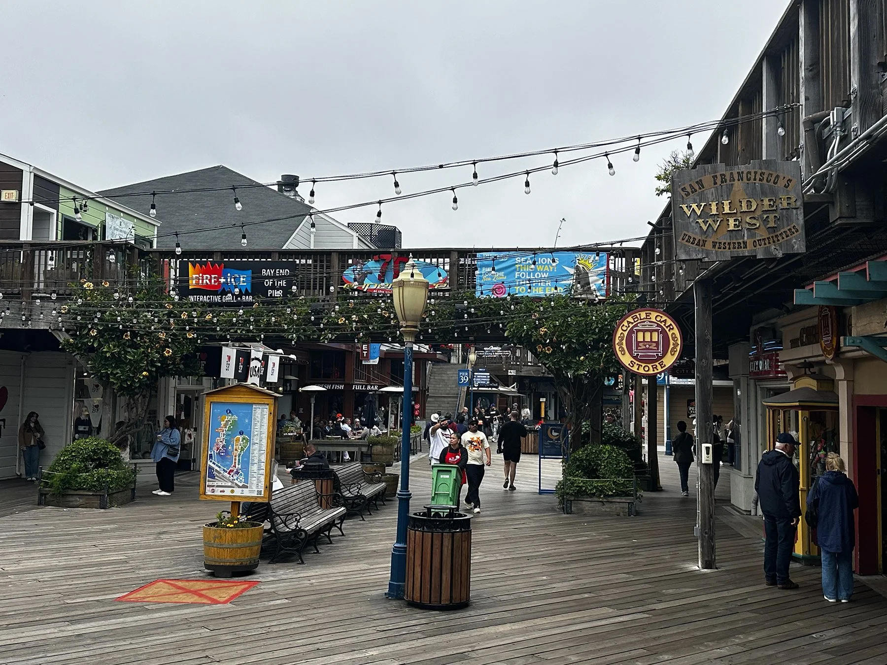
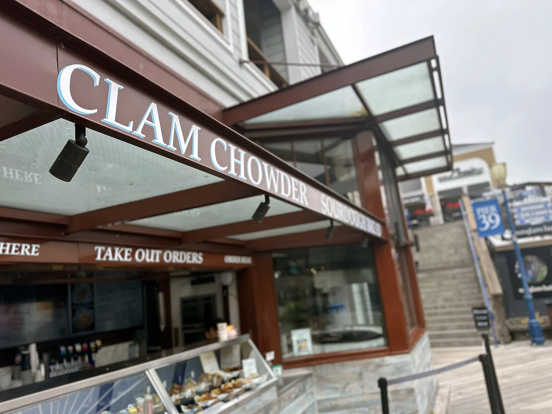
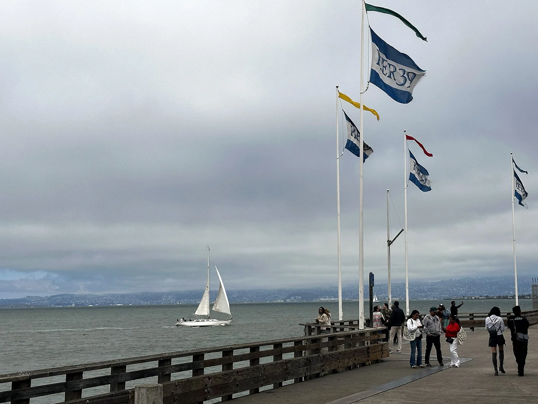
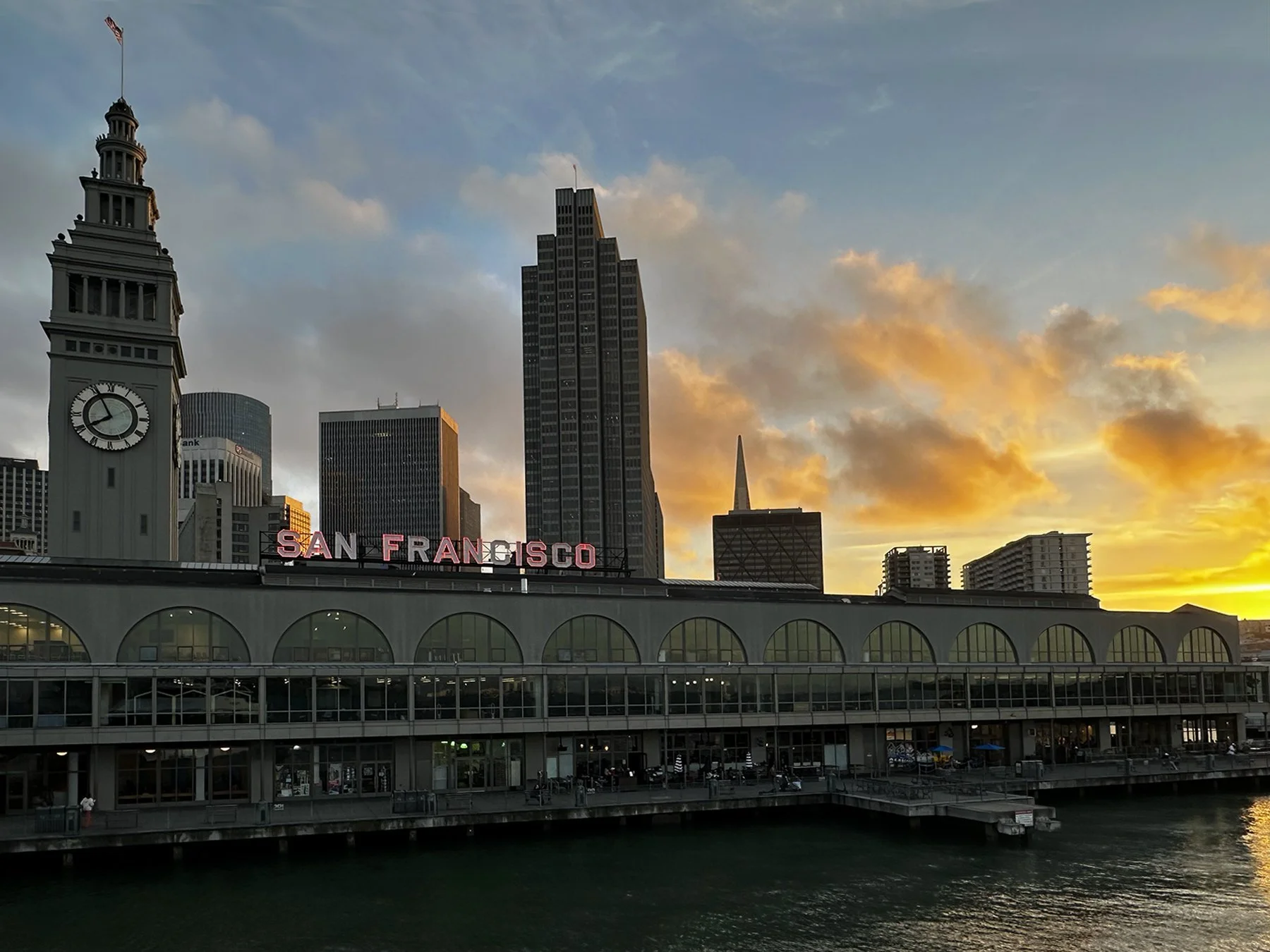
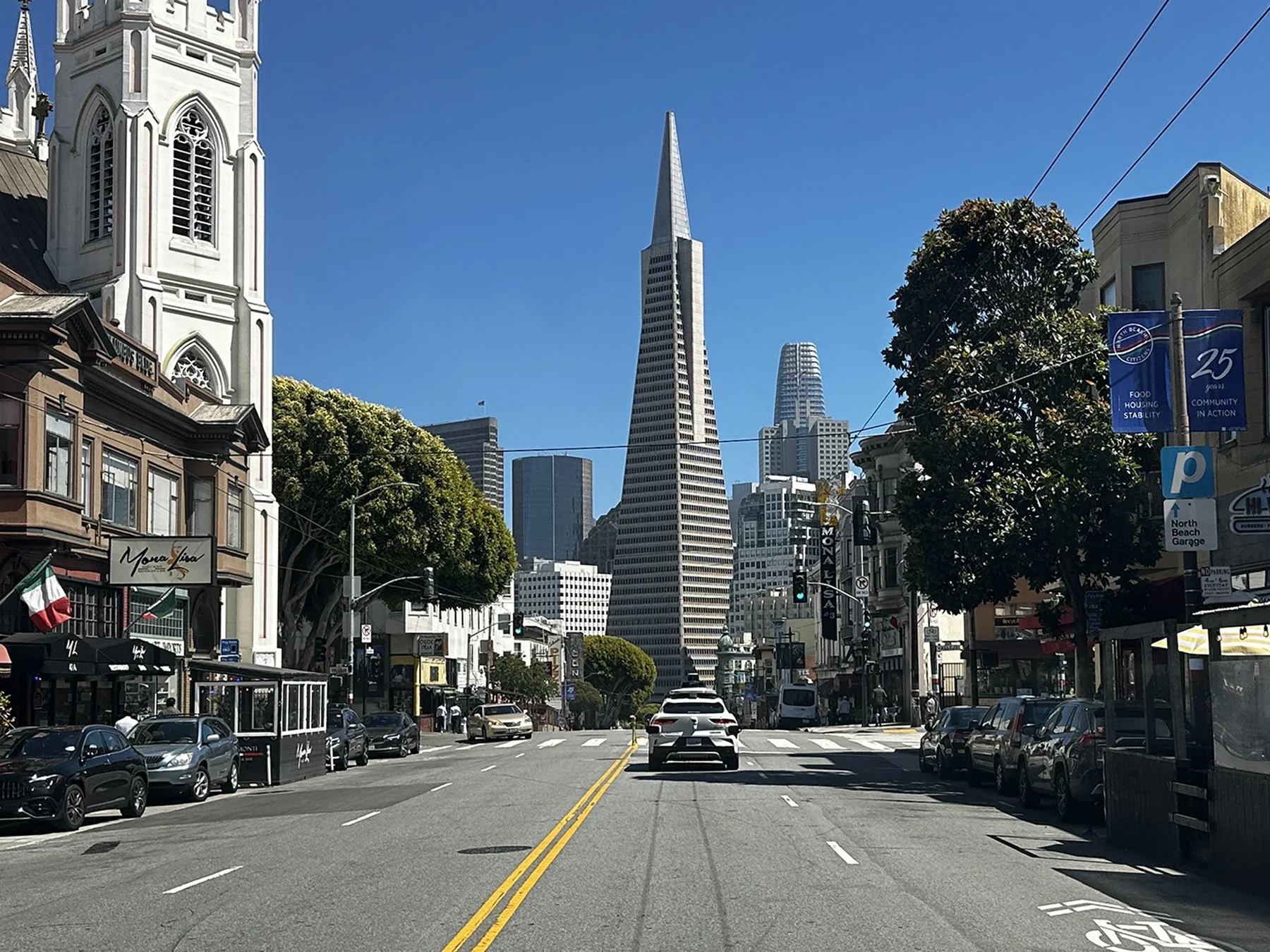
Our first goal was to explore the wharf, traveling along The Embarcadero down the eastern waterfront of the Port of San Francisco from the ferry terminal all the way to the Golden Gate Bridge. There were quite a few interesting statues and art installations along the way. Fisherman’s Wharf and Pier 39 were also … hmmm … interesting. Told by many that it is a must-see stop in San Fran, I have to admit it’s not really my cup of tea. A little too commercial for me, but lively and a little busy even for a cool Tuesday early afternoon in the spring. I imagine it to be streaming with tourists in the summer, so counted my blessings once again that I’m here at a slower time. I had to take in some local fare, stopping by Boudin’s for clam chowder in their famous sourdough bowl. Boudin’s still bakes their sourdough fresh every day using the same mother dough cultivated from a gold miner’s sourdough starter, and are San Francisco’s oldest continuously operating business. It was scrumptious!
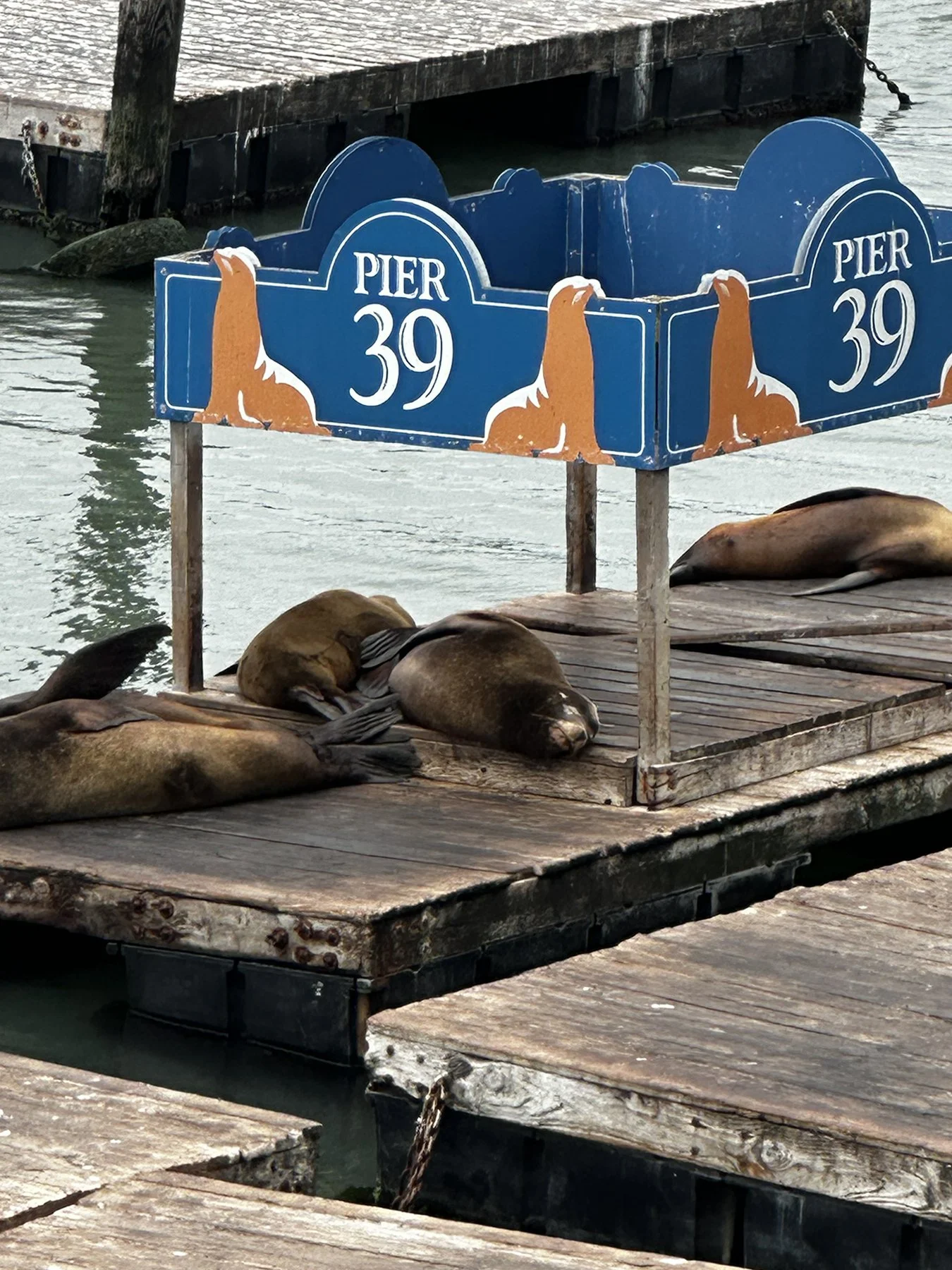
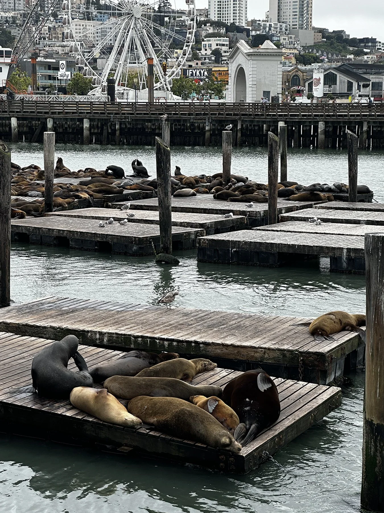
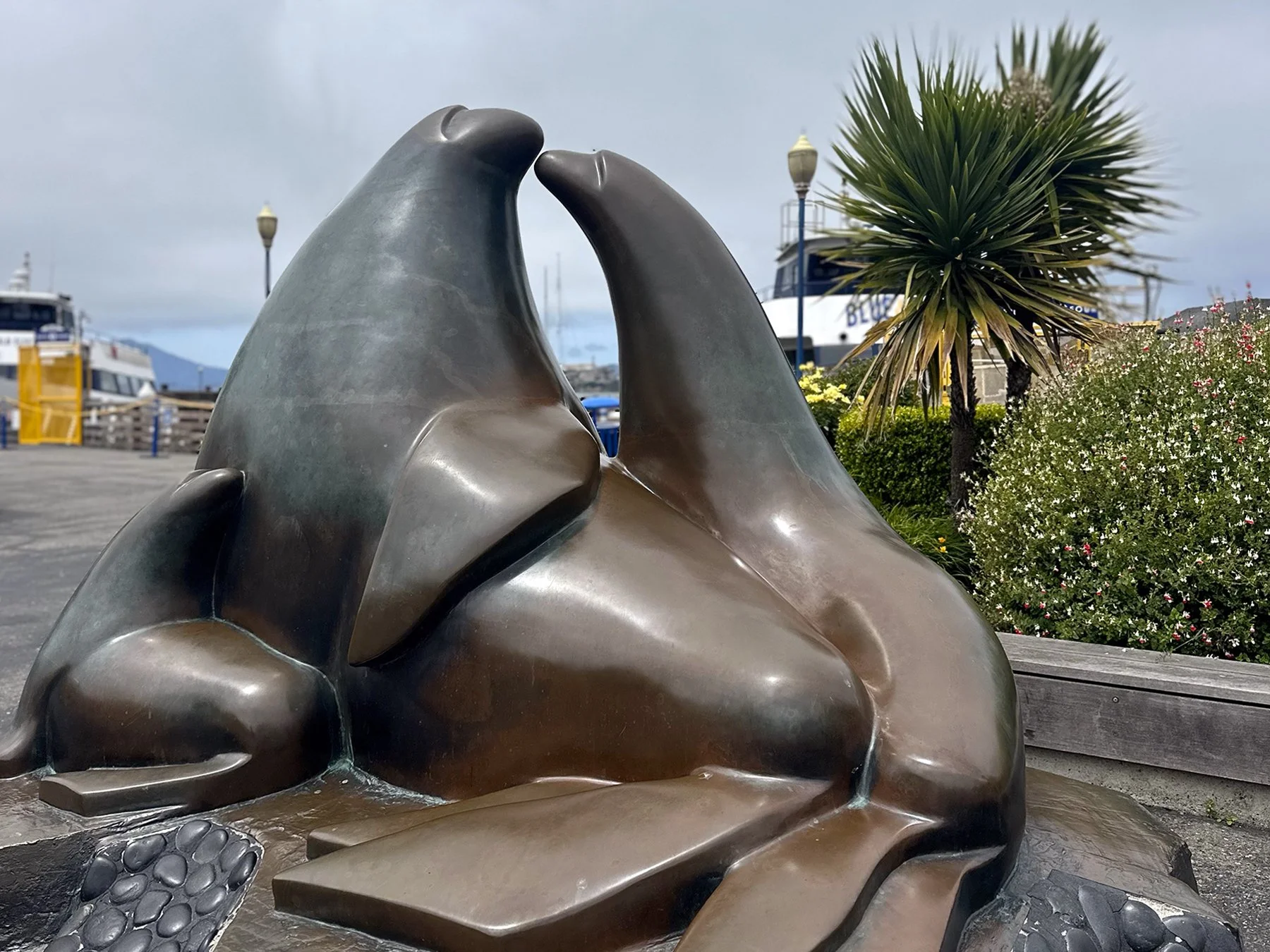
Before heading out from Pier 39, we had to check out the sea lions. It was such a bizarre scene—hundreds of sea lions, just hanging out on some floating docks. I wondered, were they living their best life? Apparently, these famous sea lions moved in shortly after a devastating earthquake in 1989. Drawn by the newly refurbished, empty boat docks, abundant herring, and safe haven from predators, their population swelled. To some, they serve as a symbol of recovery. So while they aren’t basking on giant boulders along the bay or ocean shoreline, I suppose they are living their own version of the best life. Maybe?
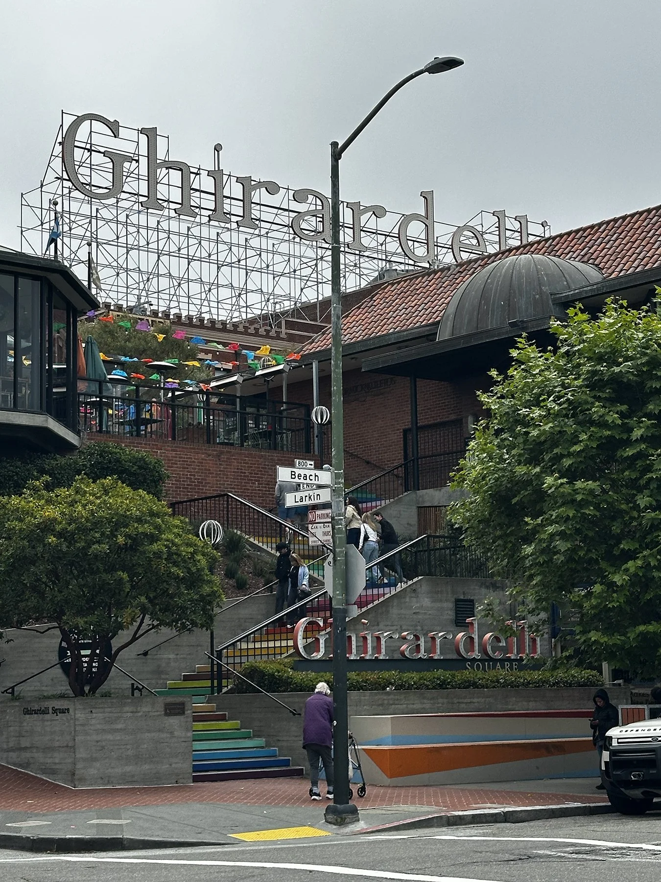
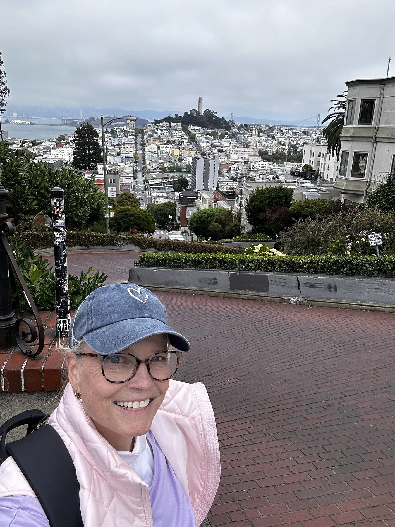
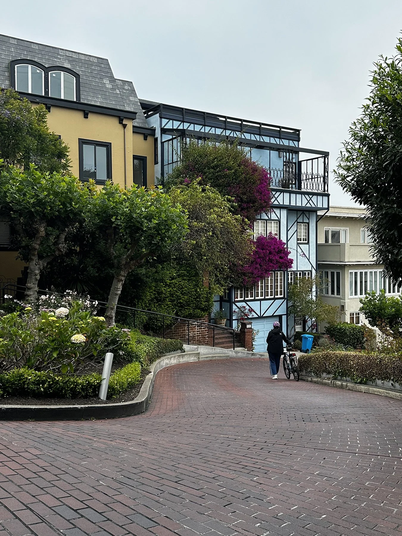
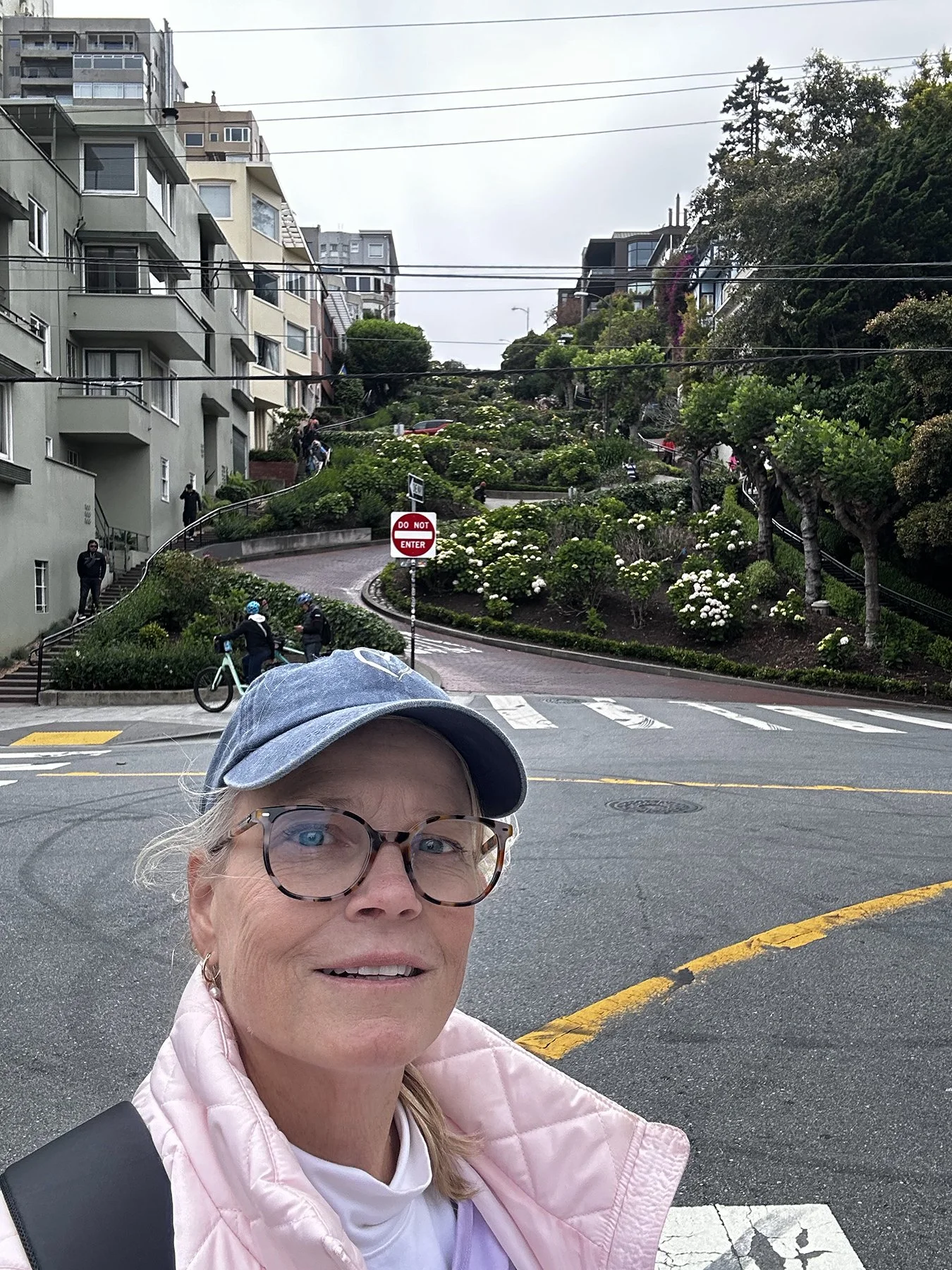
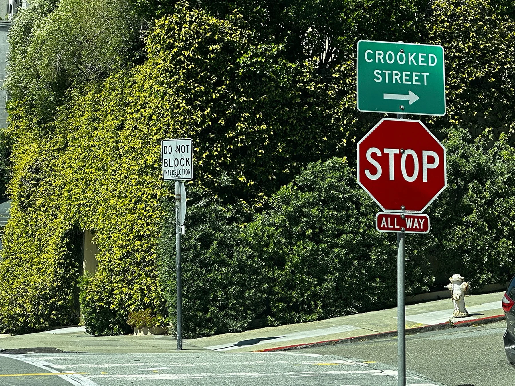
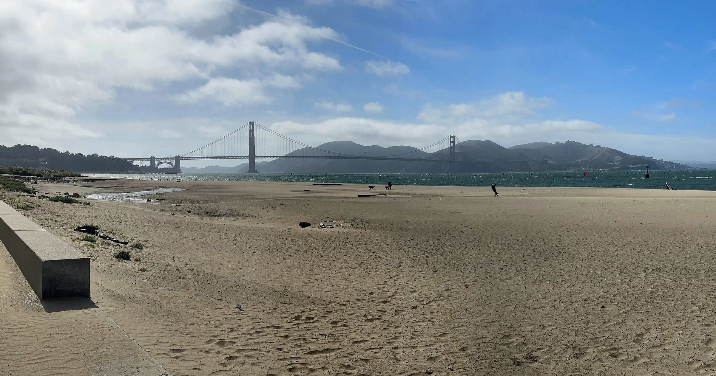
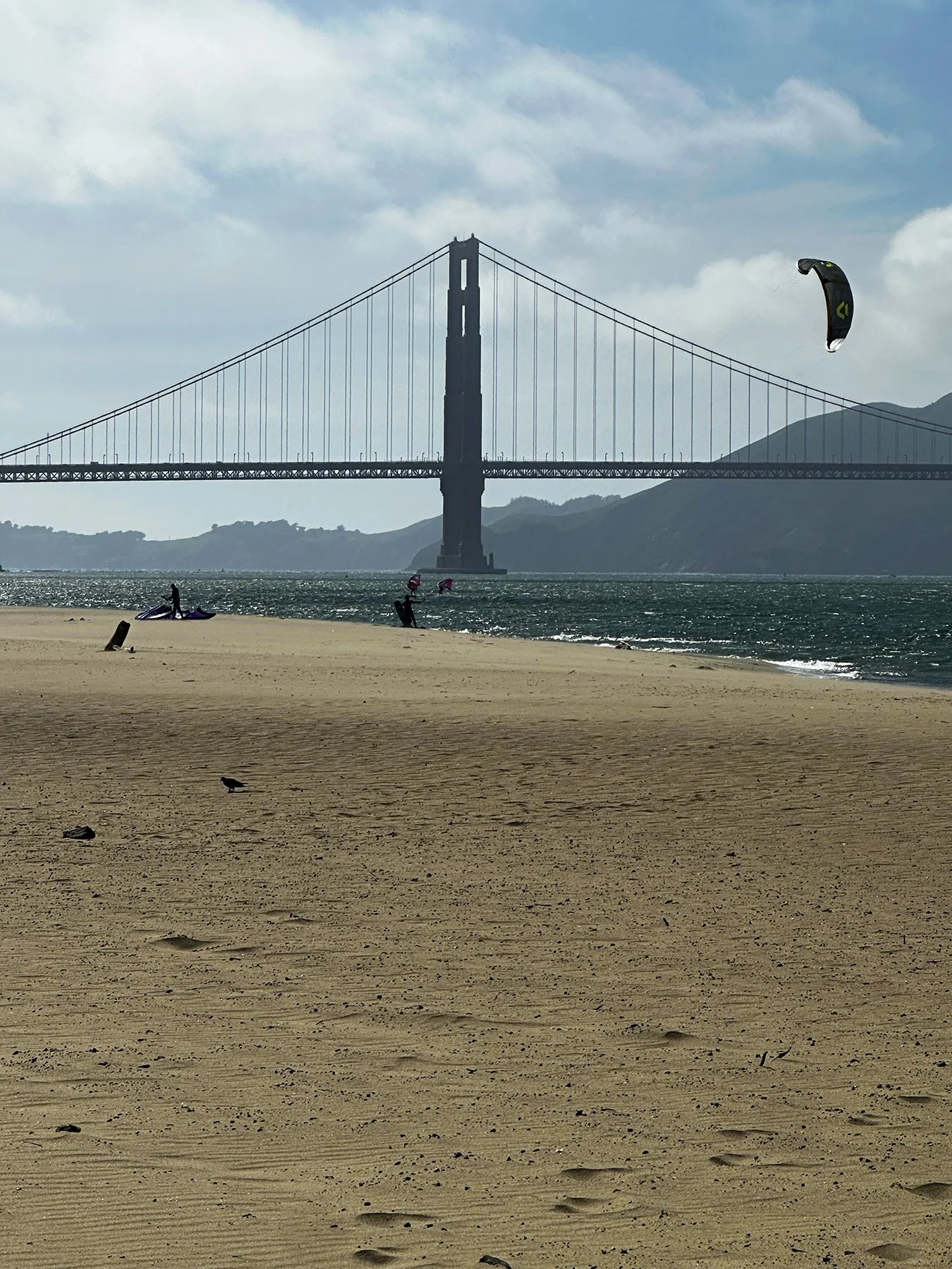
Setting our sights on the beach near the Golden Gate Bridge (still a couple of miles down the edge of the bay), I decided to take a little detour to investigate some of the interior of the city. Not only was Ghiradelli Square calling, but so was Lombard Street! We headed up—and up, and up, and up—Hyde Street, with the destination of the famous Lombard Street in mind. Y’all. Have you ever walked the hilly streets of San Francisco? Oh, my goodness! I’m glad I had recently gone on some arduous hikes in a few national forests and parks, to get my legs ready. The rise in elevation from the bay to Russian Hill is about 350 feet, and just over a few blocks. It felt like it was straight up! Seriously, the street had to be at least a 45 degree angle. We stumbled on a dog park and hung out for a bit to catch our breath with a whole bunch of four-legged friends, one of whom was Maisie’s twin. Then once we got to Lombard, we got to walk down one of the most well-known one-block streets in the country, famous for its steep descent with eight hairpin turns. Walking down the steps alongside it was a little more direct than driving it, but still super steep!
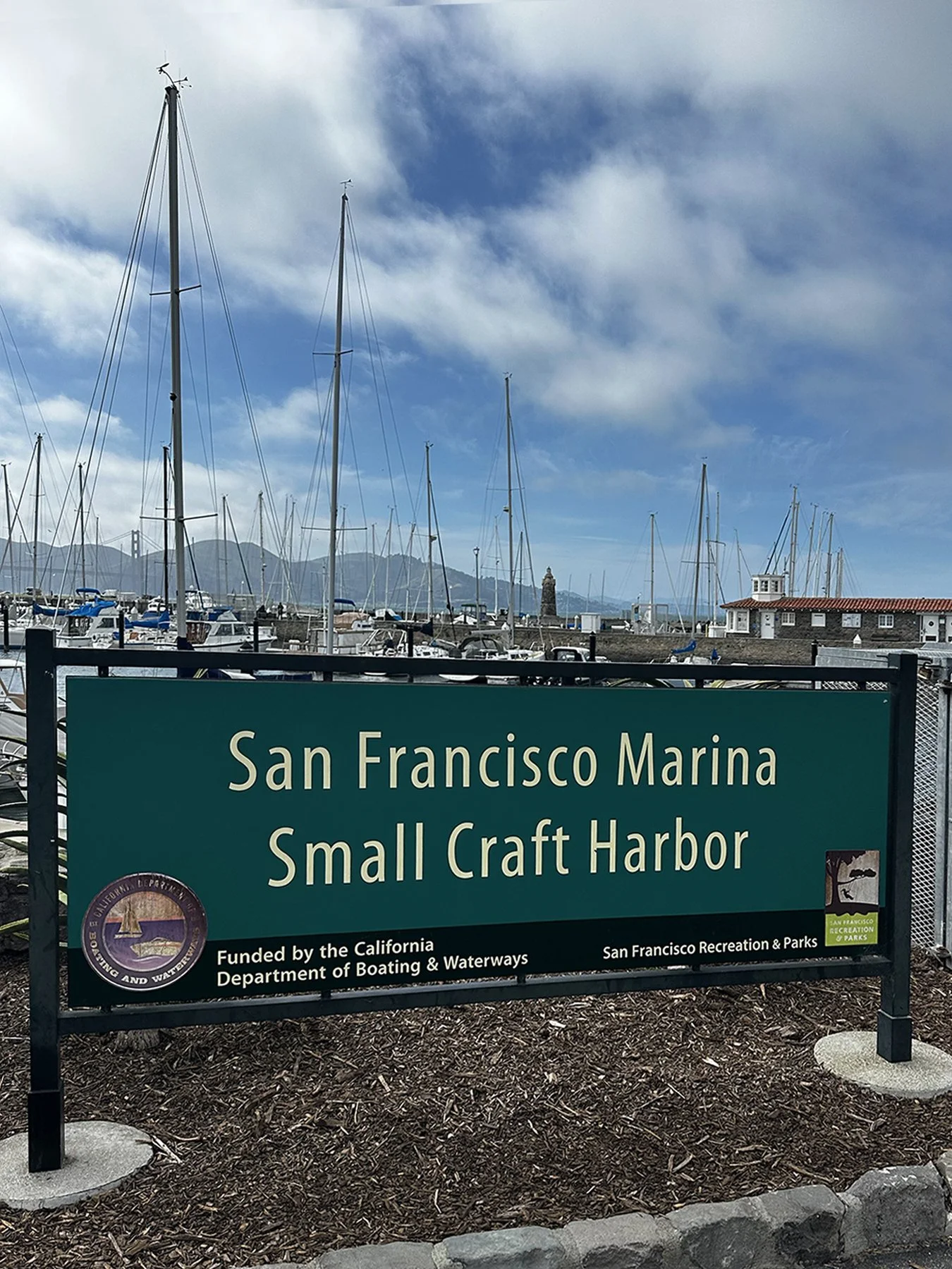
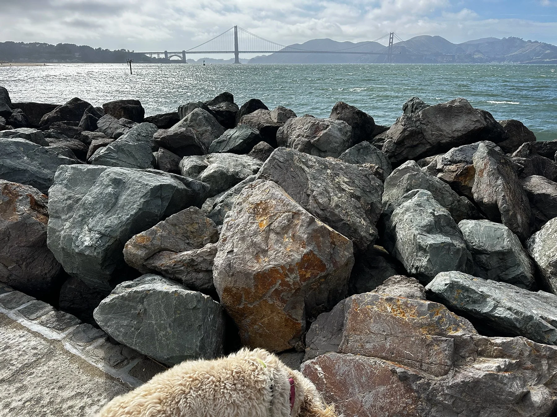
We then went back down to the bay and explored a lovely park called Marina Green, along with the St. Francis Yacht Club, The Marina District Lighthouse, and Crissy Field Beach. The lighthouse was built in 1931 using cobblestones salvaged from the city streets. Crissy Field is one of the closest beach areas to the Golden Gate Bridge, and even though I would have loved to walk across the bridge, dogs were not allowed, and I had more I wanted to see anyway. But we did stop long enough to admire the parasailors; what a sight, with the sandy beach in the foreground, the rough waters of the bay, and the Golden Gate Bridge in the background. Quintessential San Francisco.
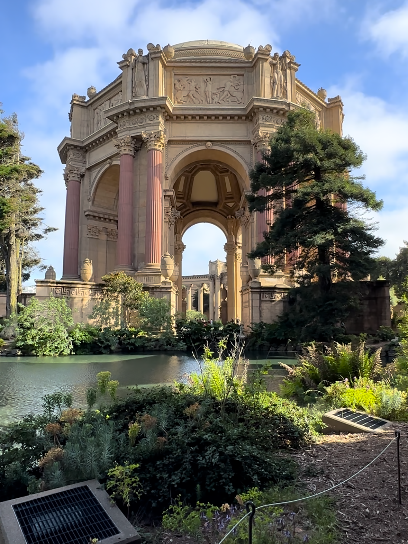
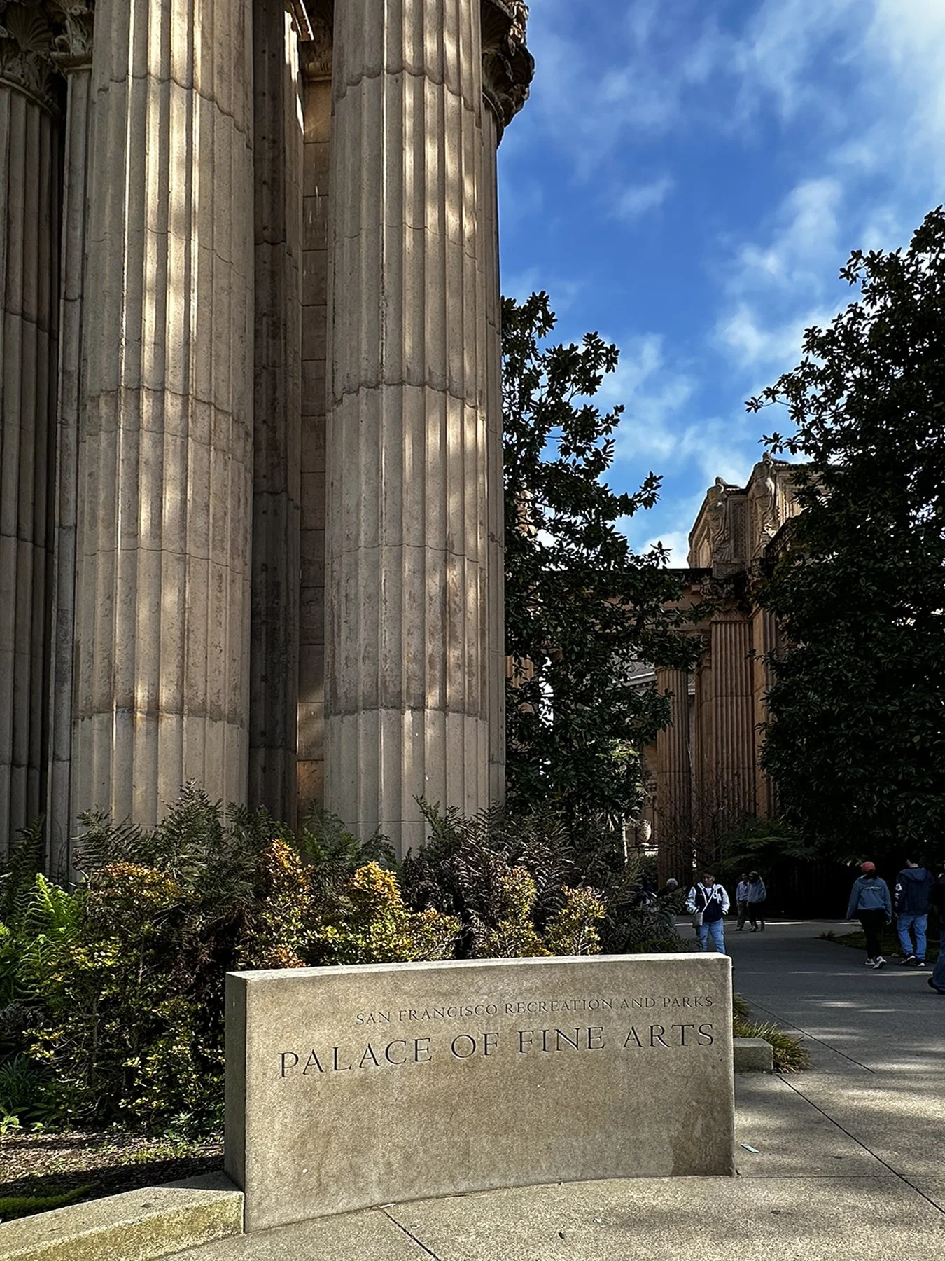
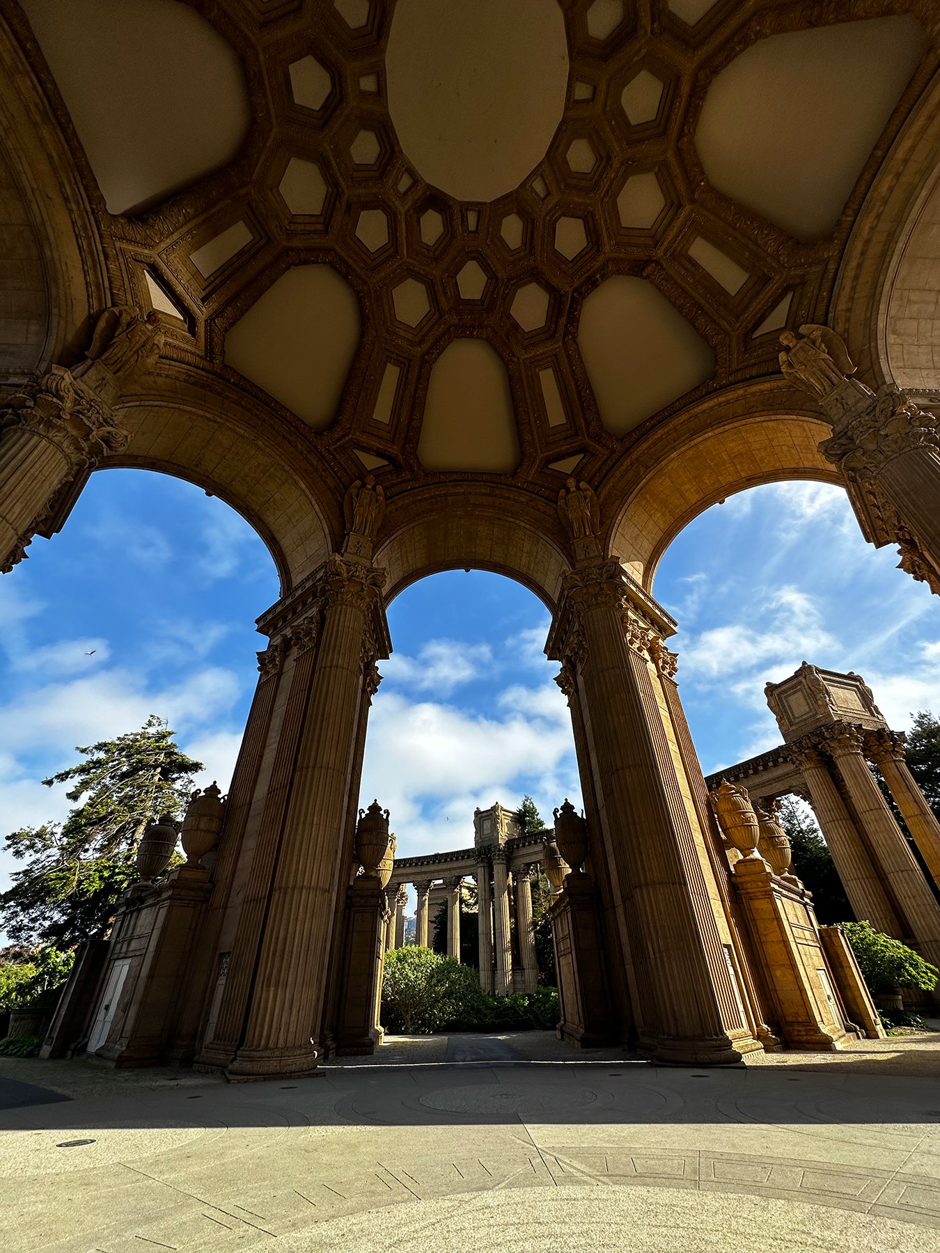
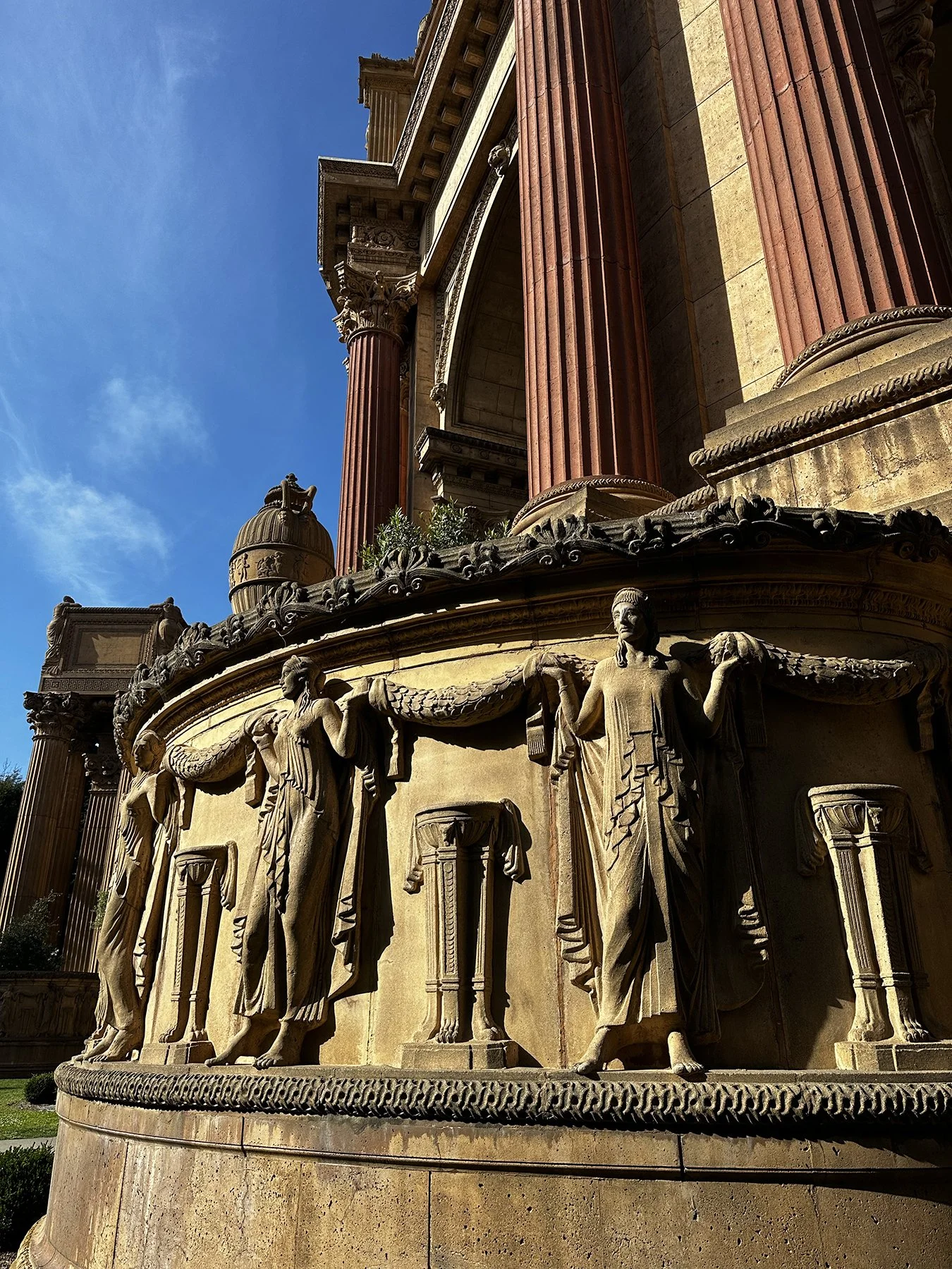
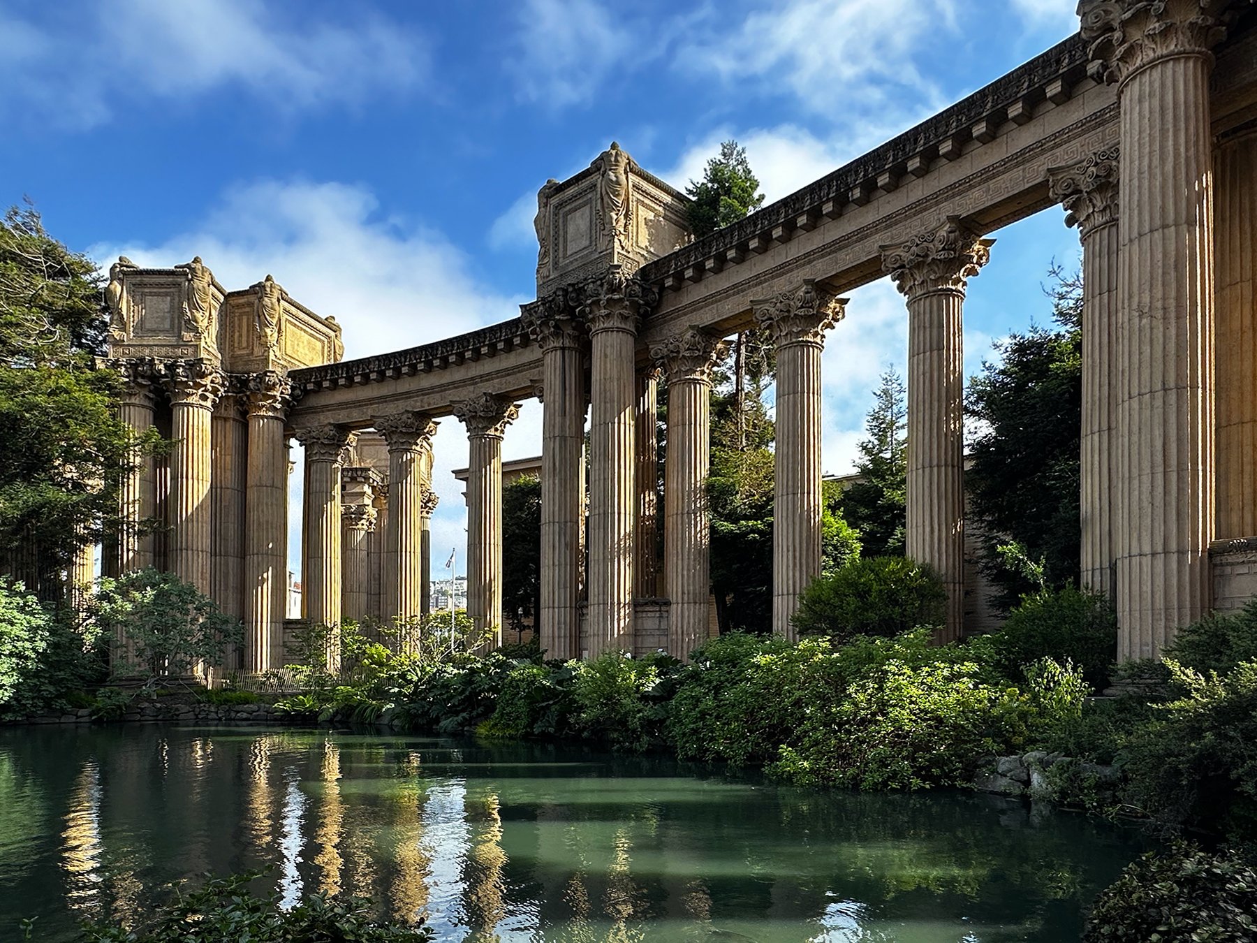
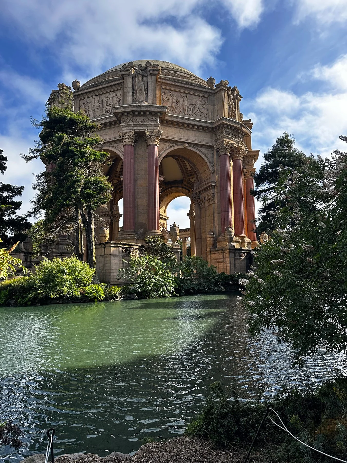
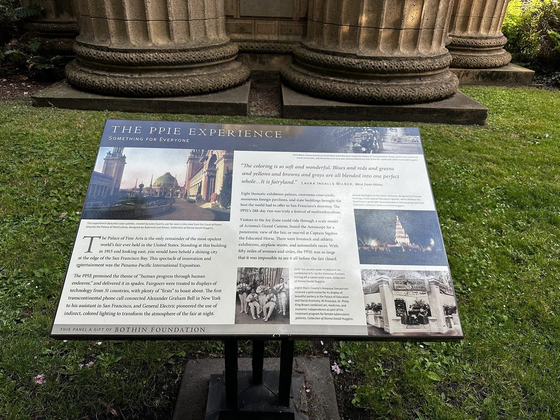
Although I was starting to get a little tired, I knew I still had a couple of hours before the last ferry left for the day, and it was what I thought was a three-mile walk back to the ferry terminal. (Just discovered when writing this that it was actually 4.6 miles, and that was if I walked directly back. Which, of course, I didn’t.) We looked over and saw a beautiful dome-like structure, and just HAD to go check it out. Man, am I glad we did! It was the Palace of Fine Arts, and was just so mesmerizing. It turns out it is the only remainder of the most opulent world’s fair ever held in the United States (1915). Conceived to evoke a decaying ruin of ancient Rome, the Palace of Fine Arts became one of San Francisco's most recognizable landmarks. The most prominent building of the complex—a 162-foot-high open rotunda—is enclosed by a lagoon on one side and adjoins a large, curved exhibition center on the other side, separated from the lagoon by colonnades. As of 2019, the exhibition center (one of San Francisco's largest single-story buildings) was in use as a venue for events such as weddings or trade fairs. There actually was a couple there taking professional wedding photos; I cannot imagine a more scenic venue for that! It’s just too hard for me to describe it all in words, so here are some photos I took instead.
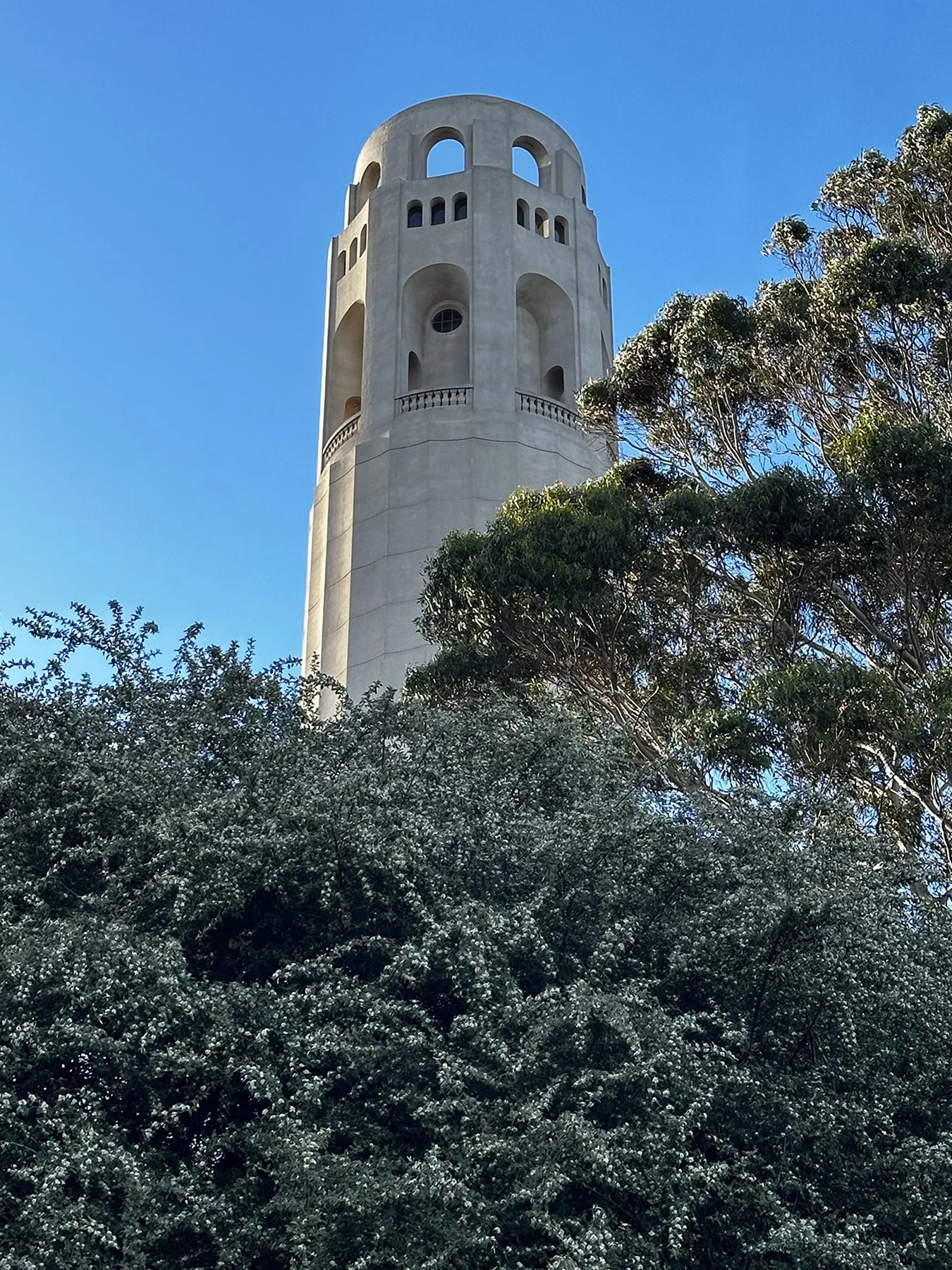
Realizing now that we needed to start heading back to the ferry terminal, I decided I didn’t want to take the same path, and figured what could it hurt to walk through the city instead? Clearly—and I’m assuming you already surmised this yourself—I did not have the opportunity to do much research before this particular tour. I had been here a couple of times before, but not in more than 20 years. San Francisco is one of the steepest and most densely populated hilly cities in the country, claiming around 53 named hills. I could see Coit Memorial Tower from where we were, and thought, “Why not?” Afterall, it is a famous, 210-foot tower in Telegraph Hill, so there’s that. And just another 300 feet in elevation change over the course of just a few blocks! As we struggled up Telegraph Hill Blvd with burning quads, we pushed on until we reached the base. Well, ALMOST the base. I checked my watch and we only had a little more than an hour until the FINAL ferry left for the day. Did I want to take a chance on missing it just to go the rest of the way to the tower? Well, yes. But, no. Refueling with a granola bar and downing more water, we headed down more than 500 steps back toward the terminal.
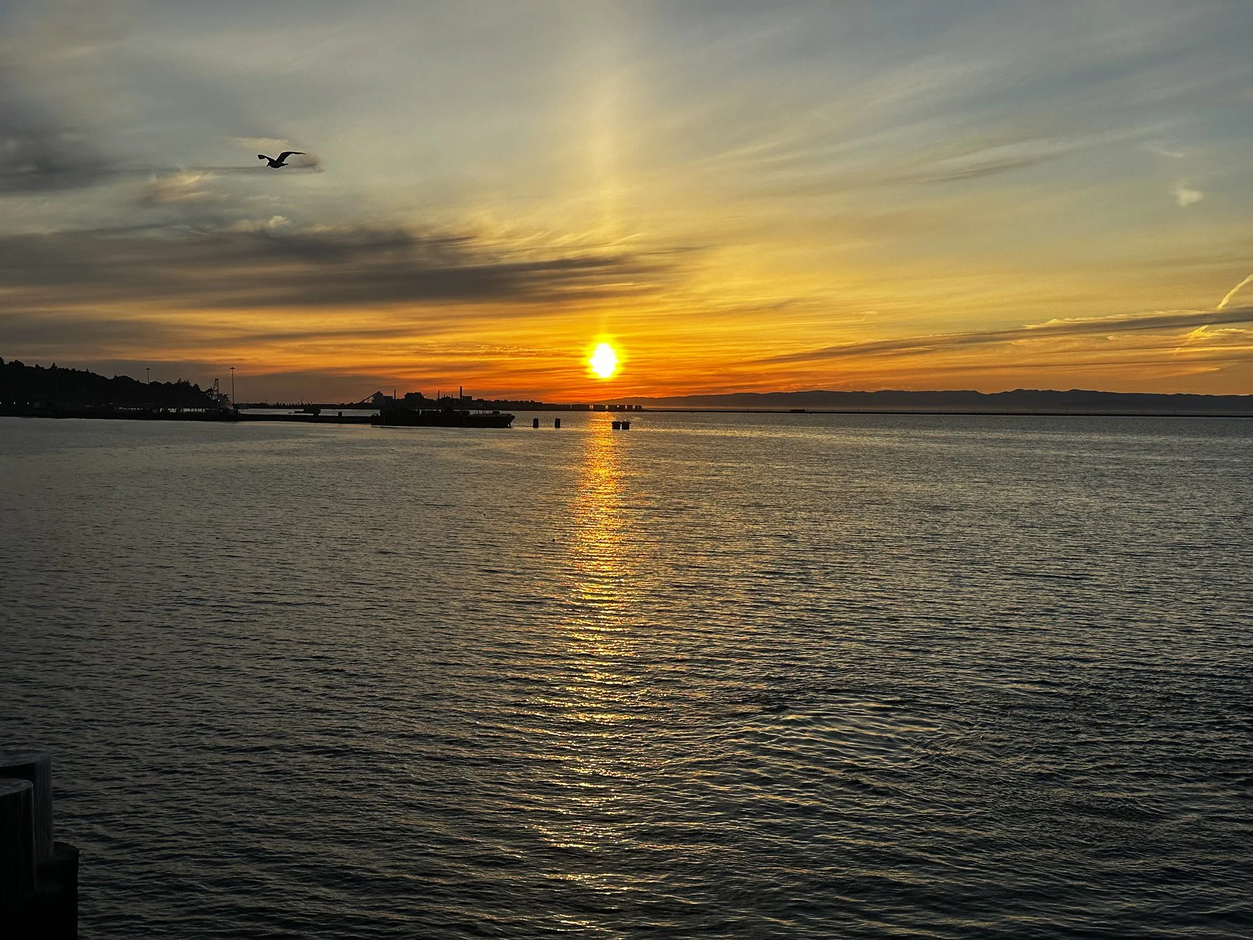
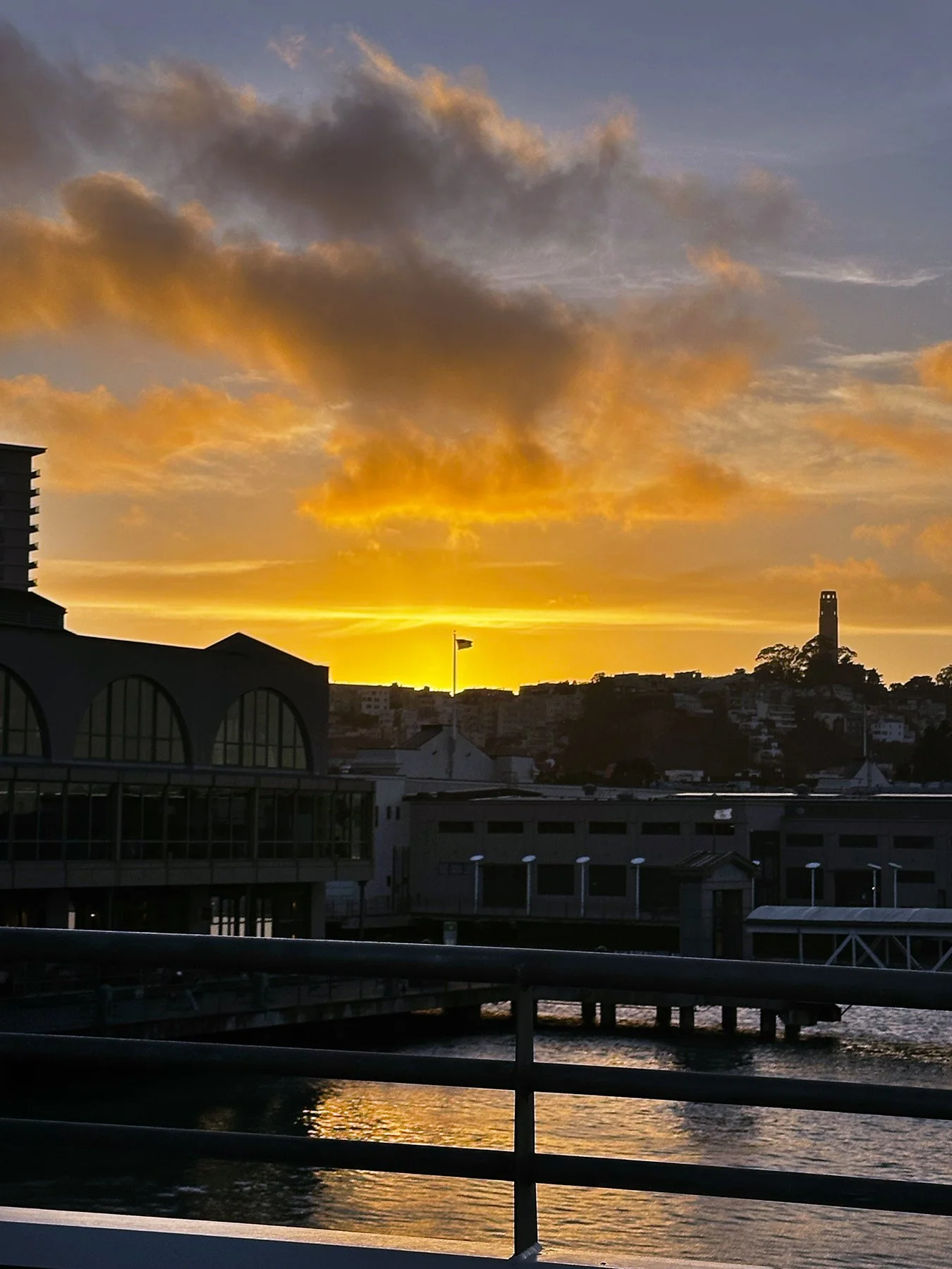
What a day! We finally made it to the ferry terminal, with 30 minutes or so to spare. I really had not intended on walking more than 15 miles but was so glad to have done it. We were rewarded with a beautiful sunset on the ferry ride across the San Francisco Bay.
Bay Area, Day 2
A rest day. That is all. Haha.
Bay Area, Day 3
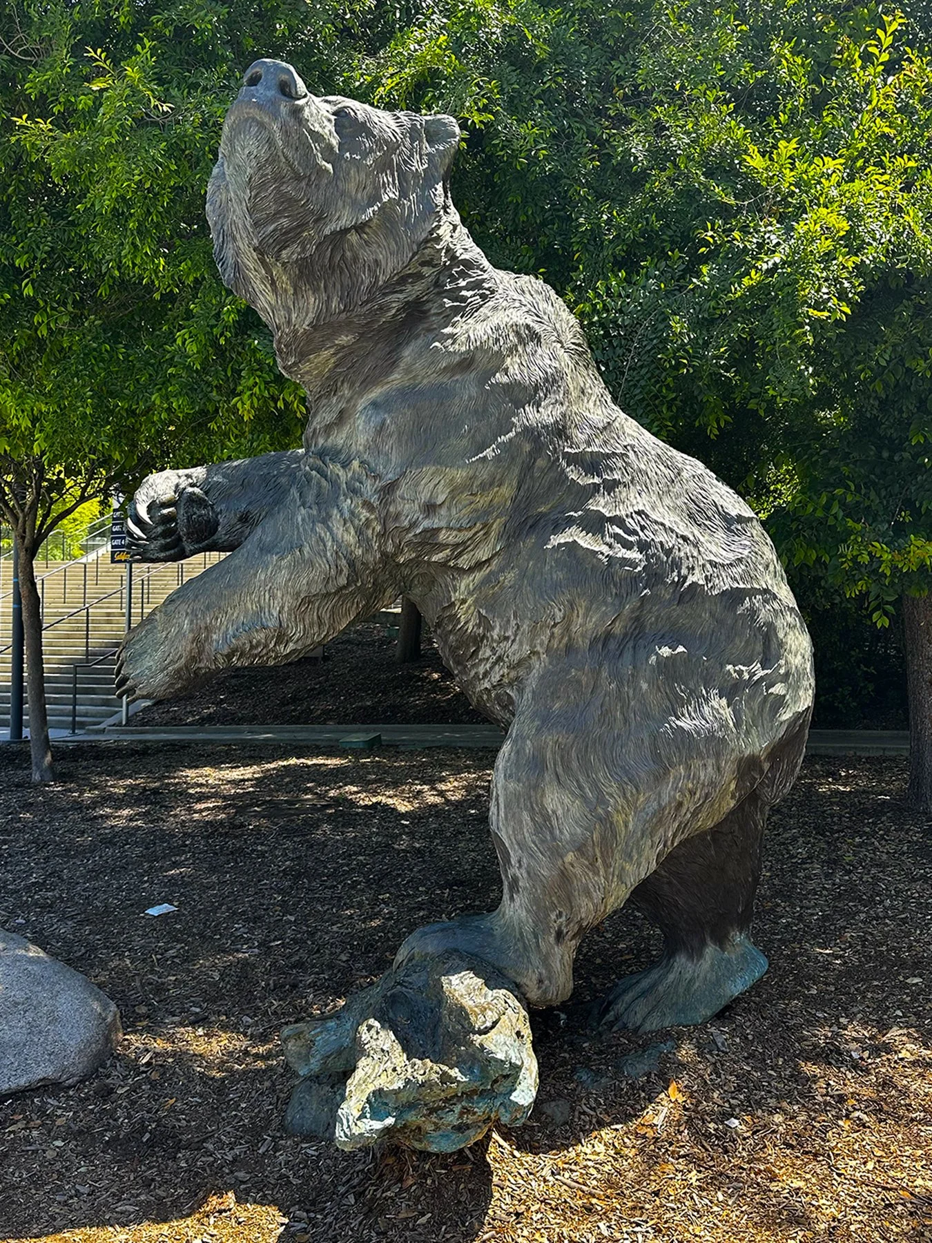
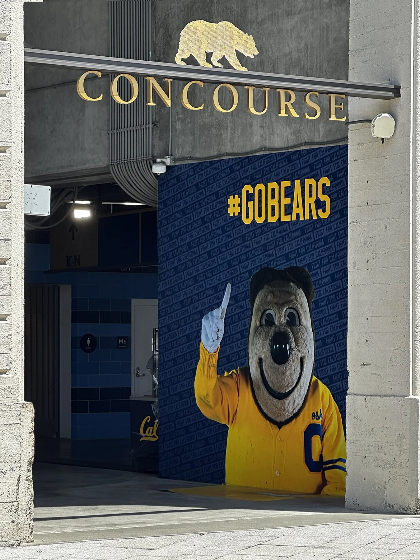
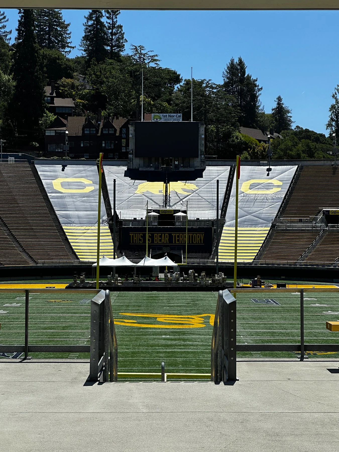
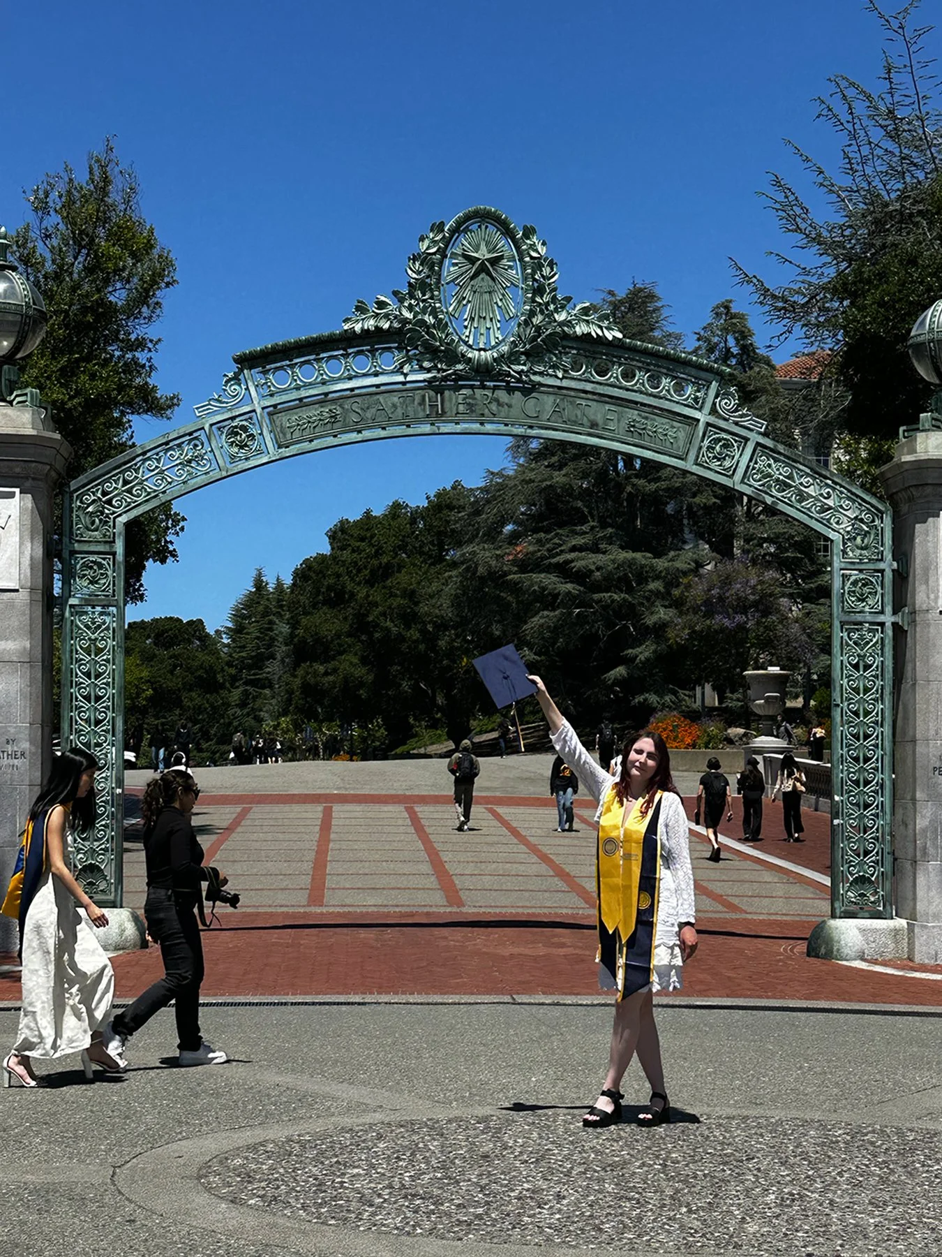
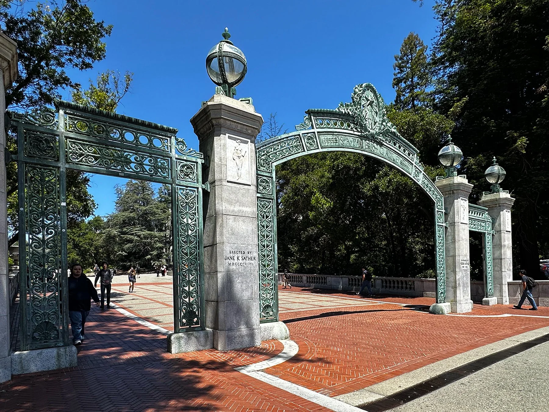
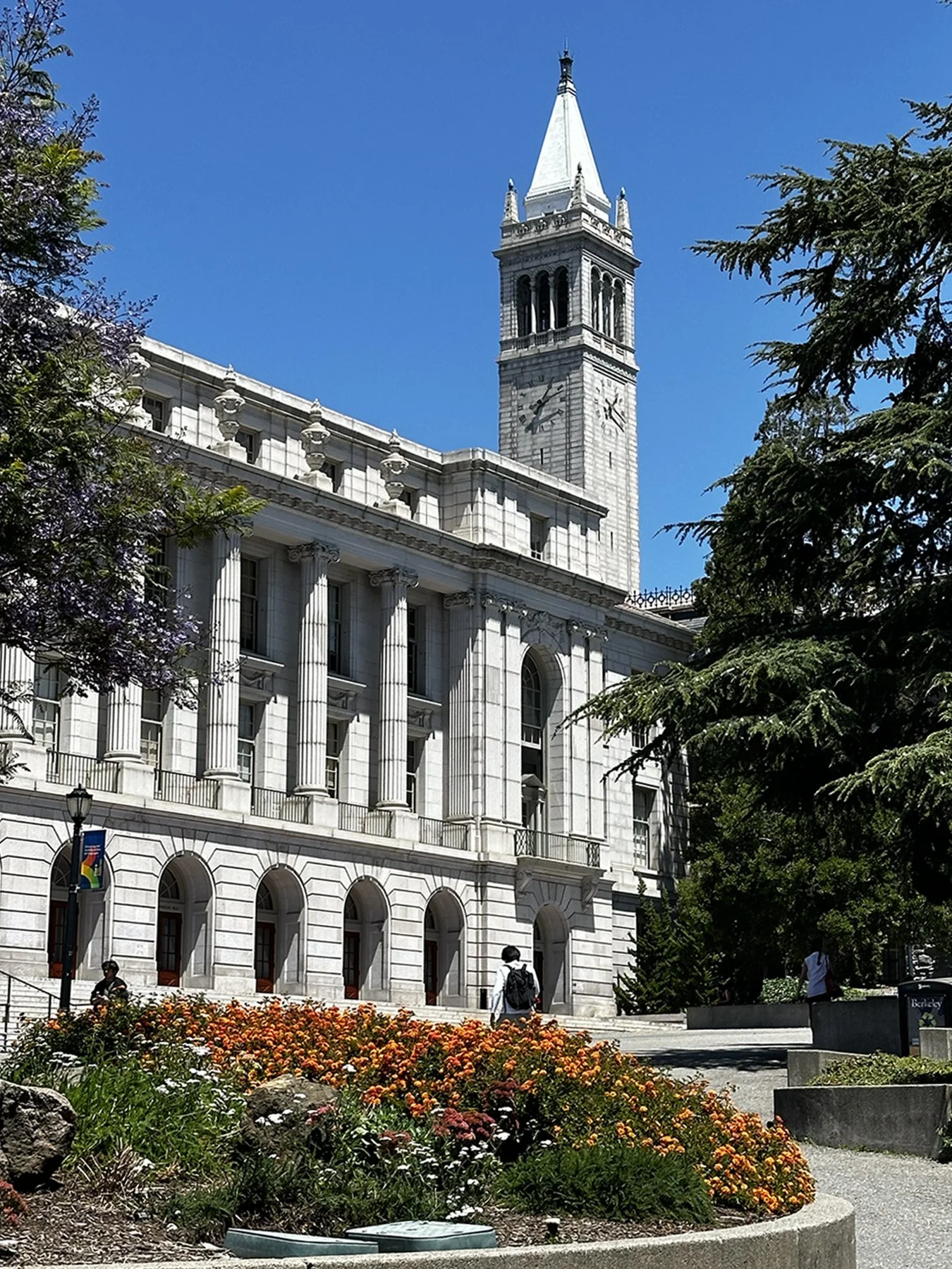
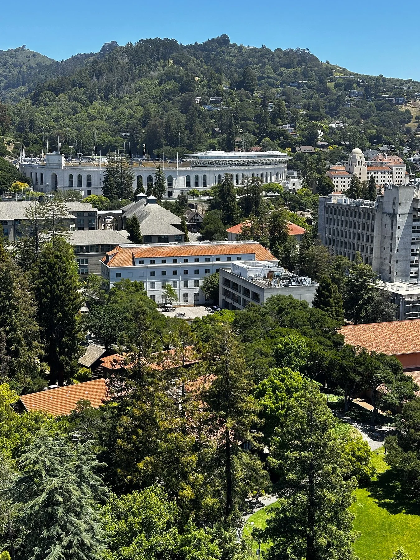
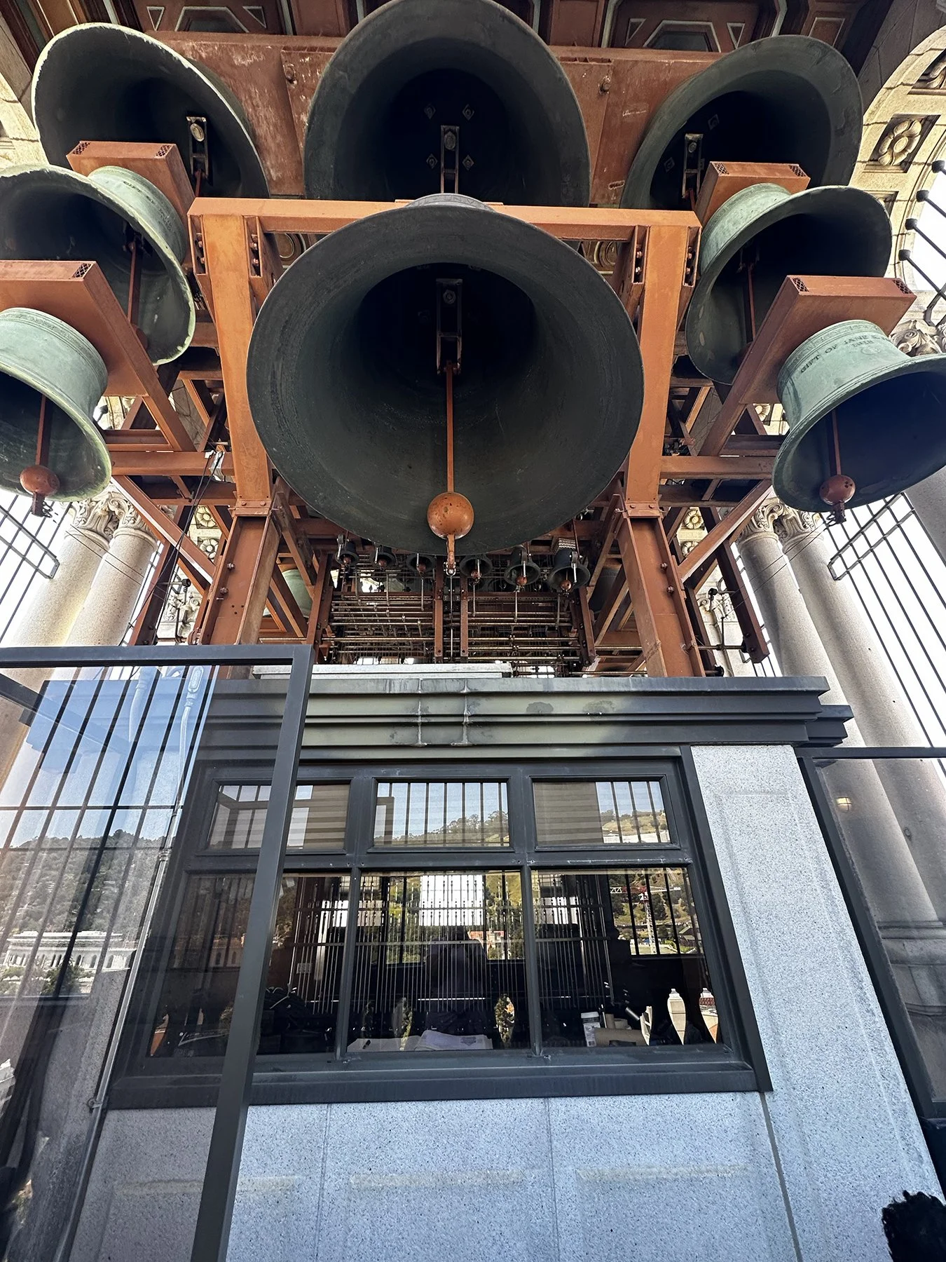
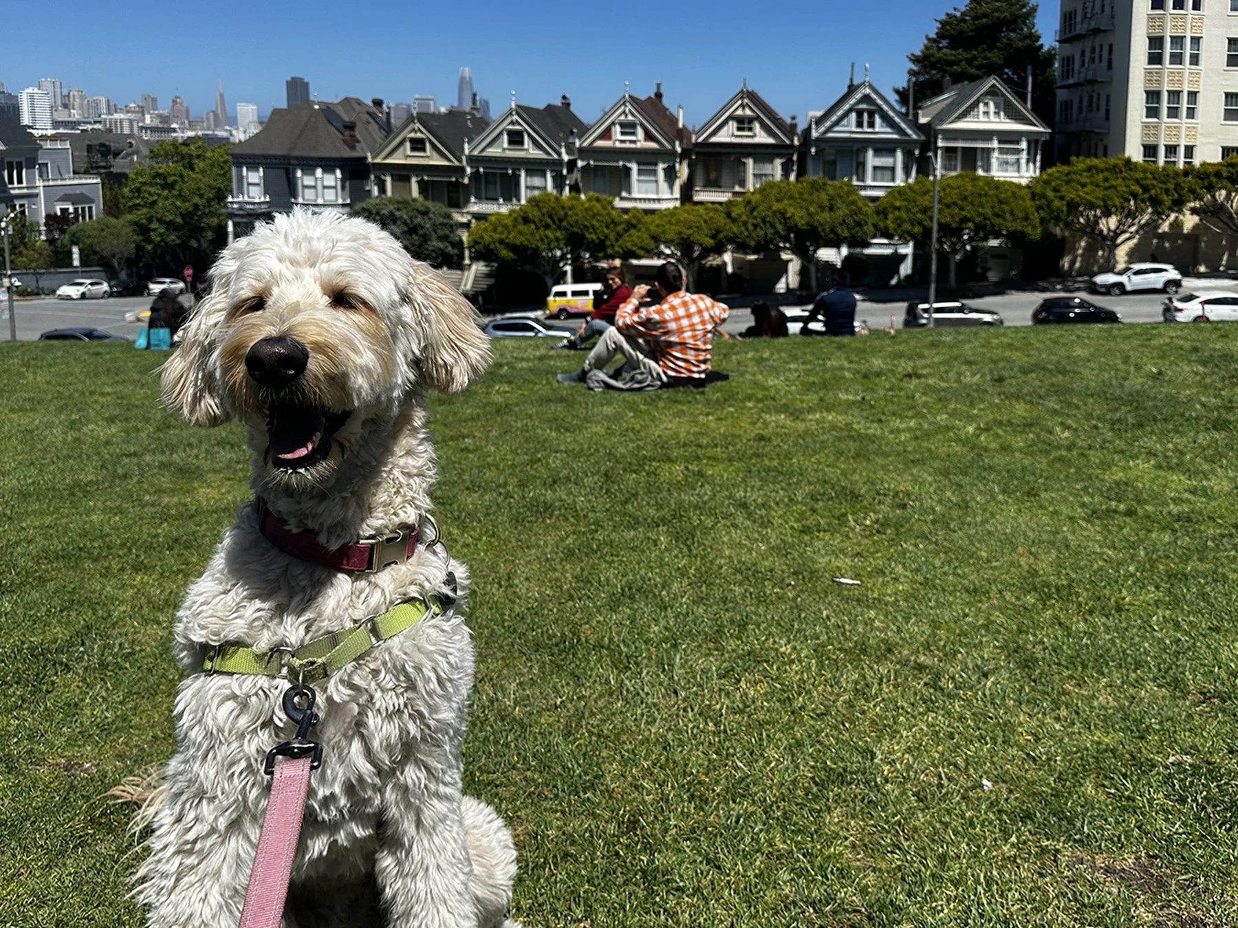
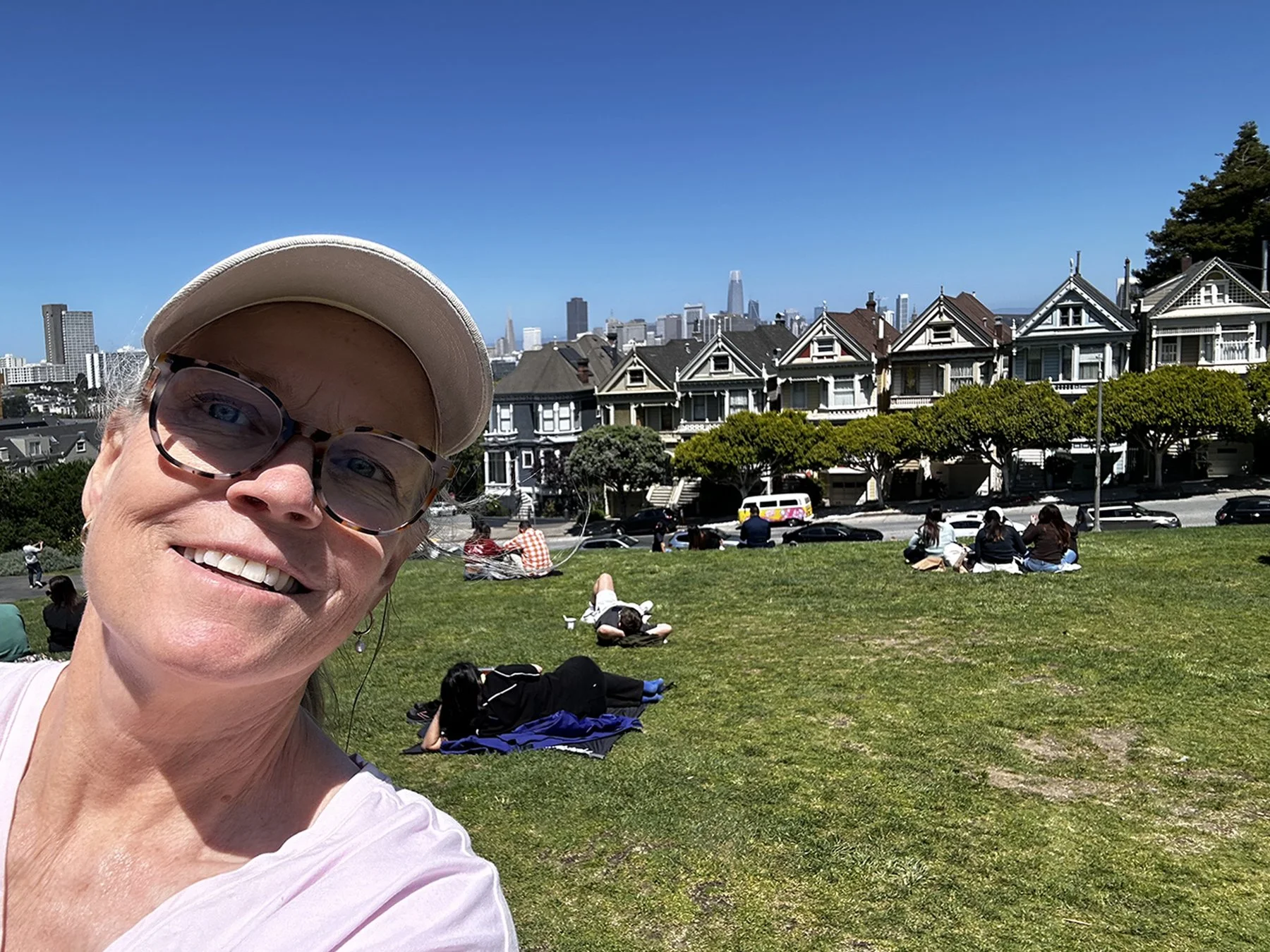
As I’ve mentioned probably a million times, one thing I love to do when traveling is to visit colleges and universities. Though I’ve been to probably a hundred—I’m not really prone to exaggeration, am I?—I had never been to Cal Berkeley. Maisie and I enjoyed walking all over their beautiful campus just two days before graduation, of course taking in the football stadium but also the main part of the academic campus, including an elevator ride to the top of the Campanile—at 307 feet tall, it is the second-tallest freestanding clock and bell tower in the world.

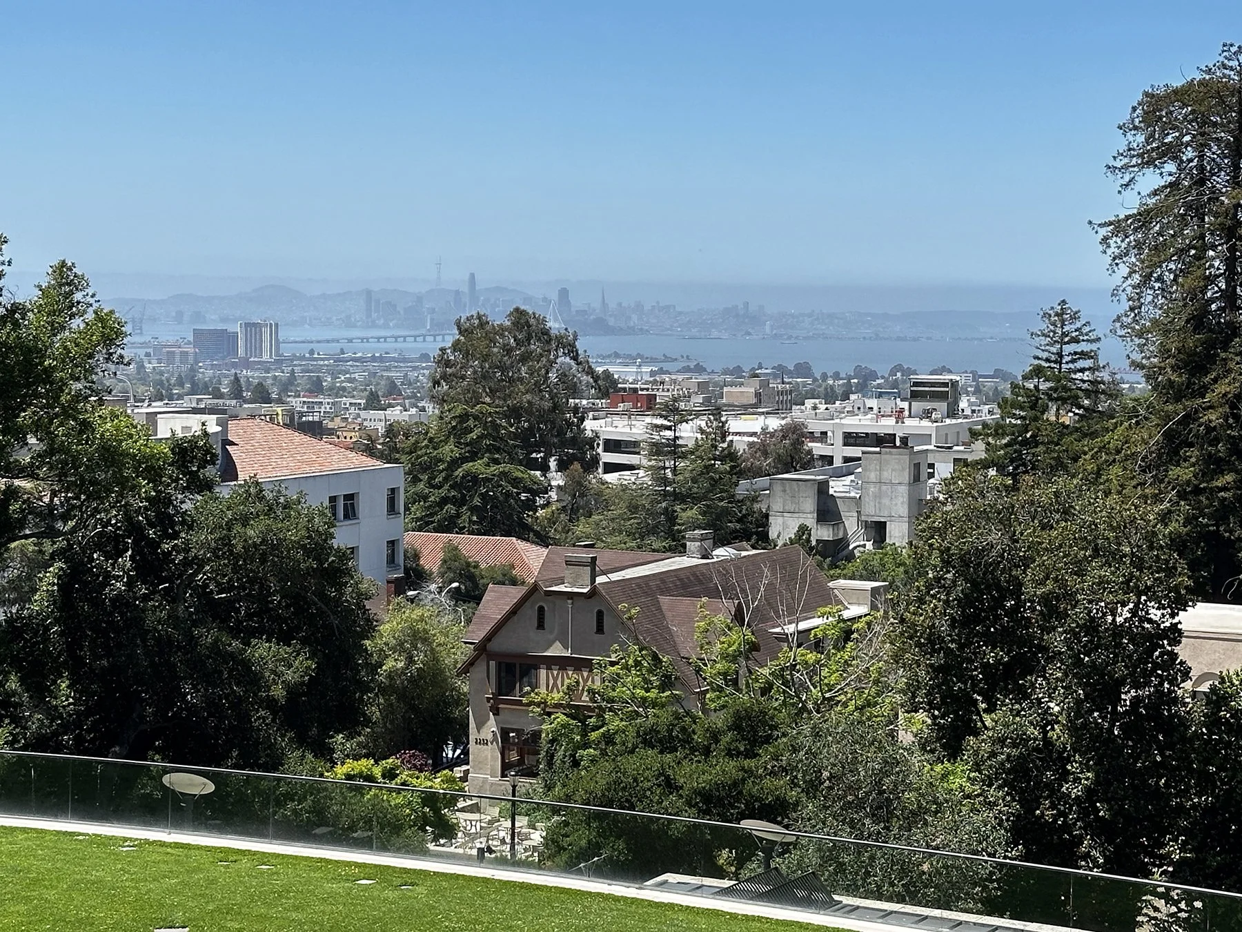

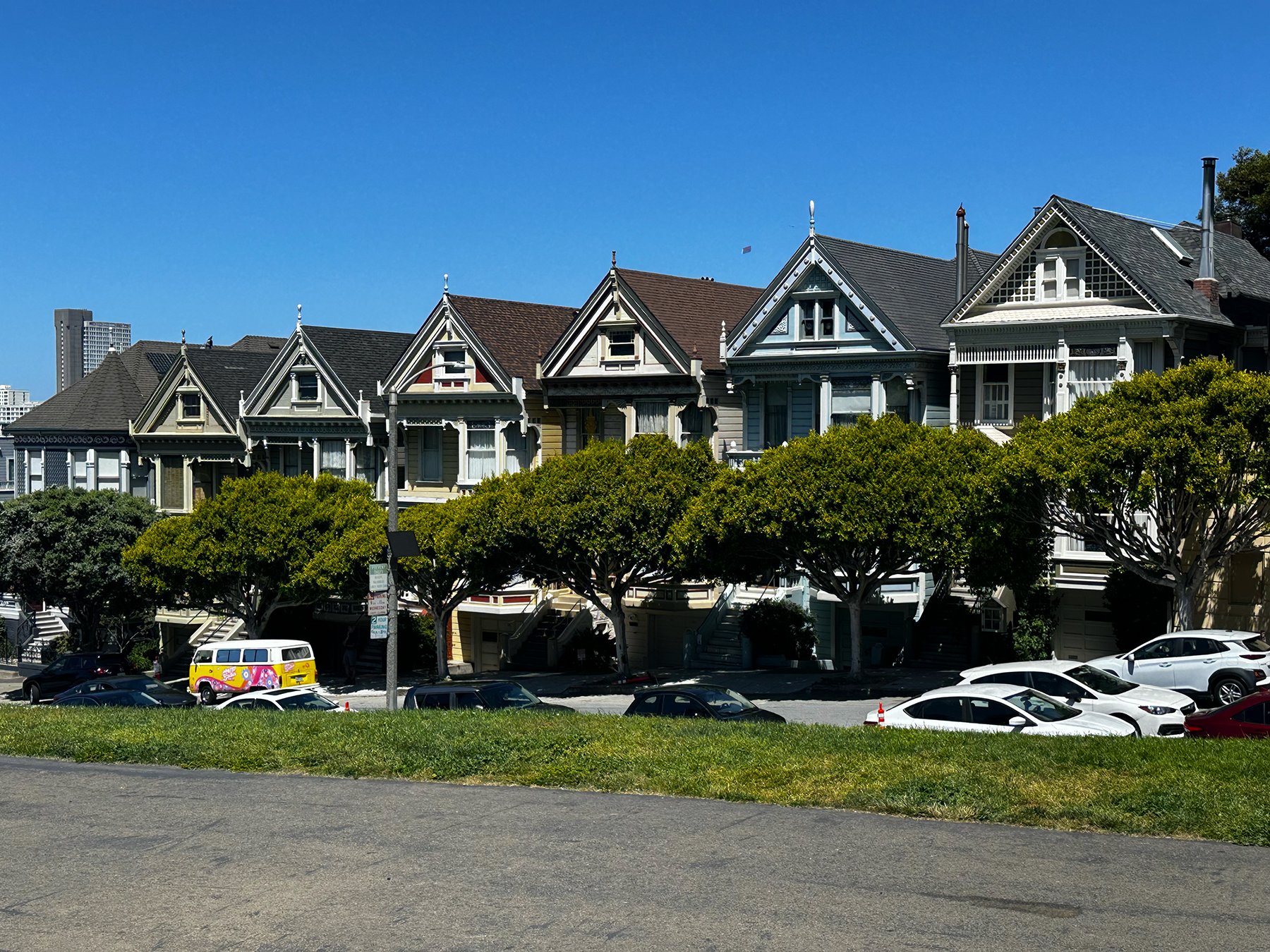
There were a few things I had wanted to see on my walkabout in the city the other day, but just didn’t have the time, so I thought I’d drive through it after leaving Cal. The Painted Ladies were our first stop; how lovely it was to see lots of folks out picnicking in the park across the street on this glorious Thursday afternoon. According to sources, the term "Painted Ladies" refers to the row of iconic, candy-colored Victorian and Edwardian homes, widely known as "Postcard Row". They are special for their dramatic juxtaposition of ornate 19th-century architecture against the modern downtown skyline, and their starring role in pop culture. The trees in front of the famous houses have grown enough now to obstruct some of the view, but this iconic San Fran location was too awesome to miss. Bonus? I found a parking spot on the street a block away (a LEGAL spot), and didn’t even get my truck broken into! (Apparently, that’s a major problem in San Fran.)
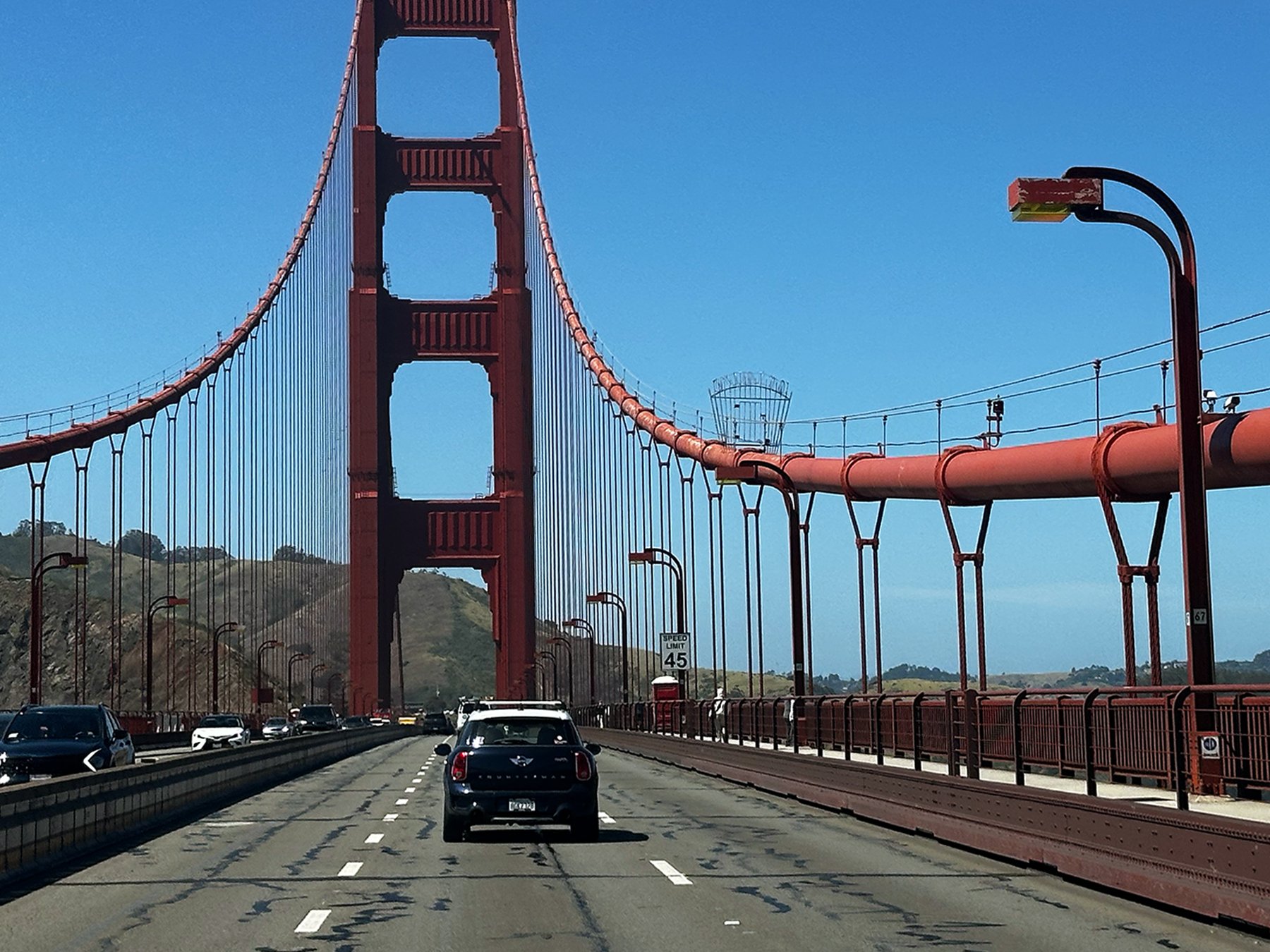
Of course I HAD to drive down Lombard Street next! Tackling that narrow road and all its tight hairpin turns in a giant Toyota Tundra was hilarious. So iconic and something I’m not likely to forget. No pictures, though. After all, I was driving!! After a quick drive through China Town (disappointing, to be honest; I suppose it’s best experienced on foot), we headed for a trek over the fantastic Golden Gate Bridge. Not so fantastic? The $10 it cost to drive across. Oh, well, it is California where everything is expensive! We stopped at an overlook on the other end of the bridge and hung out for a while just admiring the view of the bridge and the skyline from the other side of the bay.
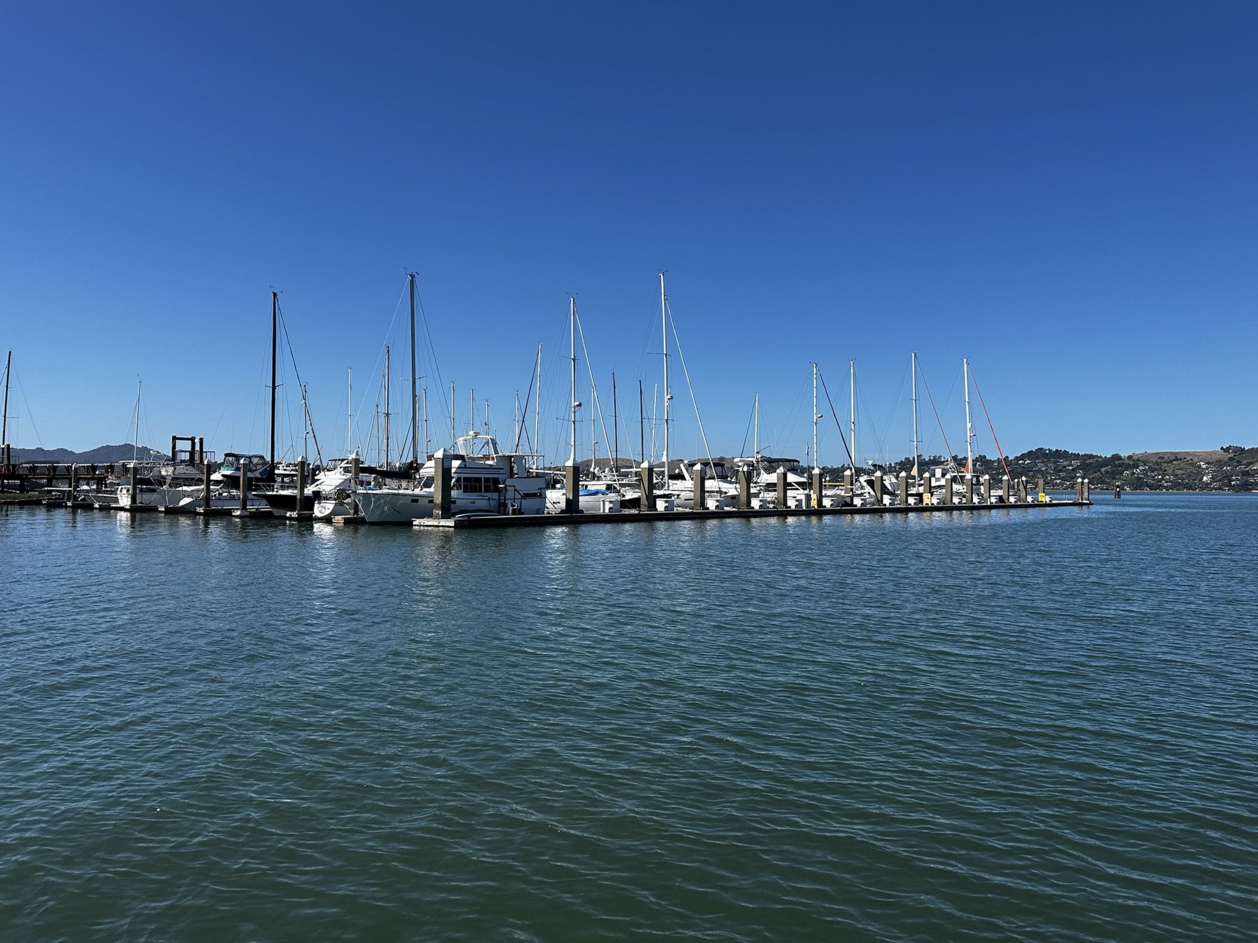
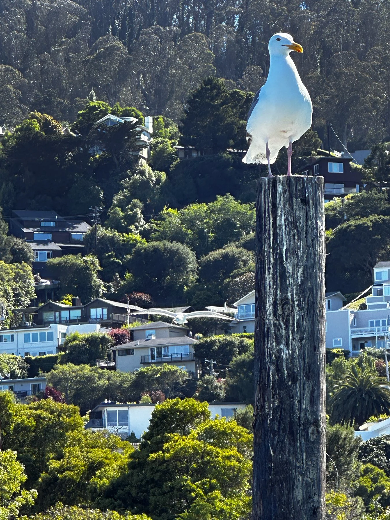
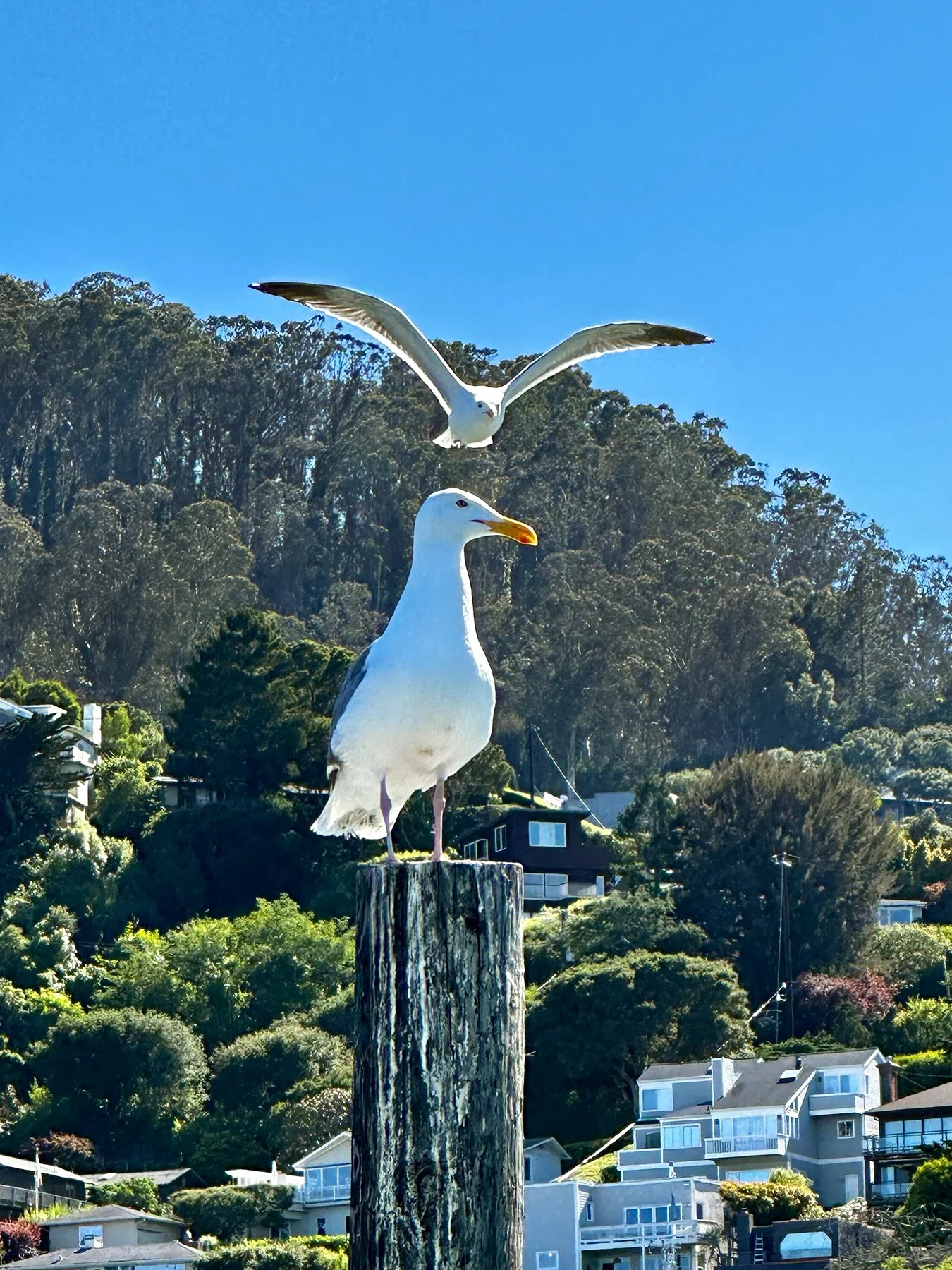
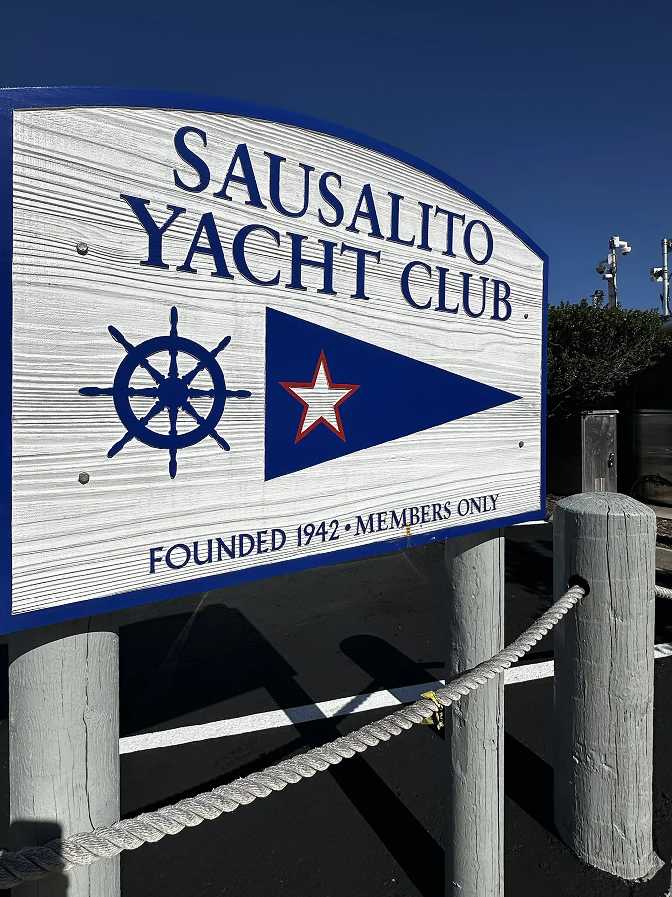
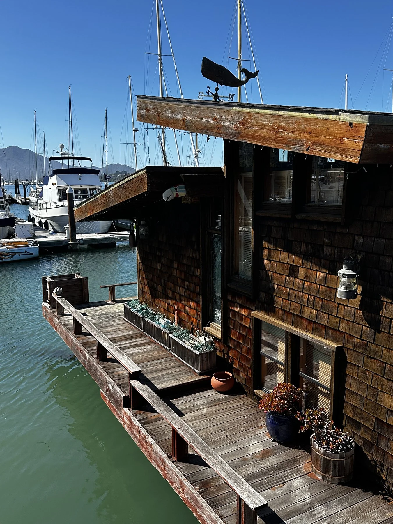
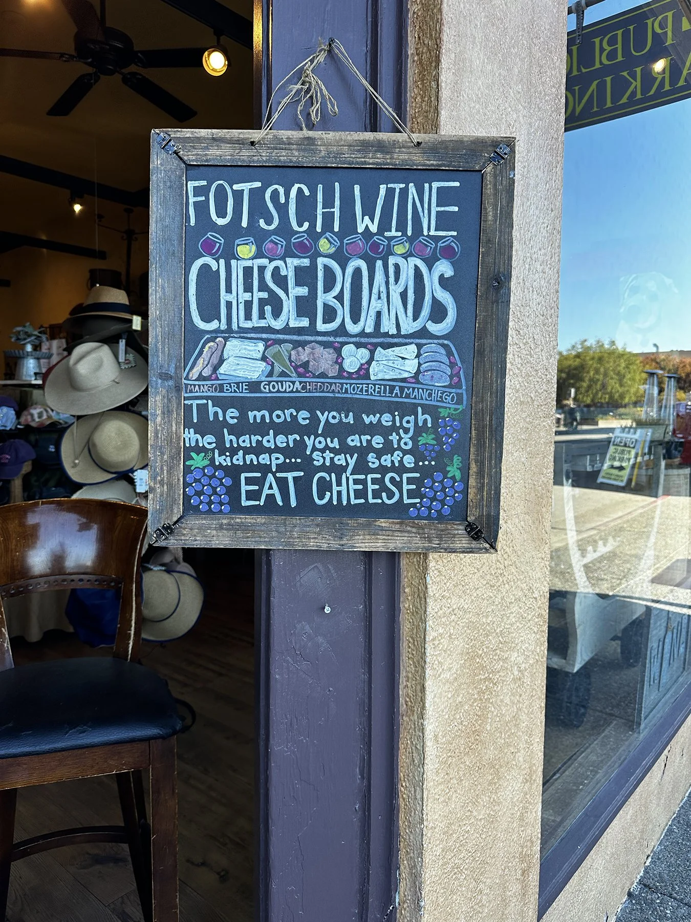
Maisie and I then ventured into Sausalito. What a treasure! Sausalito is a super picturesque coastal enclave, noted for its Mediterranean-style hillside homes, sweeping bay views, and relaxed artsy culture. There seemed to be a somewhat unique blend of small-town charm, rich maritime history, and iconic scenery—along with luxe accommodations, acclaimed chefs at farm-to-table restaurants, and art galleries. According to the Sausalito Chamber of Commerce (consider the source), visitors and residents agree with Coastal Living’s ranking of Sausalito as the third-happiest seaside town in the country. Again, I’m grateful to have gone in the off-season as it seemed to be mostly locals who were out and about, enjoying the bay-side parks, walking their dogs, and exercising. Best sign of the day (from a shop selling cheese and wine): The more you weigh, the harder you are to kidnap… Stay safe… EAT CHEESE.
That about wrapped up our three days on the City by the Bay. We sure did a lot in a short amount of time. I have to say, though, that it was quite shocking to the system to go from the alpine forests, stunning lakes and gorgeous landscapes we experienced over the previous two weeks to a bustling, progressive, urban environment. I had sensory overload of a whole different sort. Well, welcome to my life these days, I guess!
Until next time …
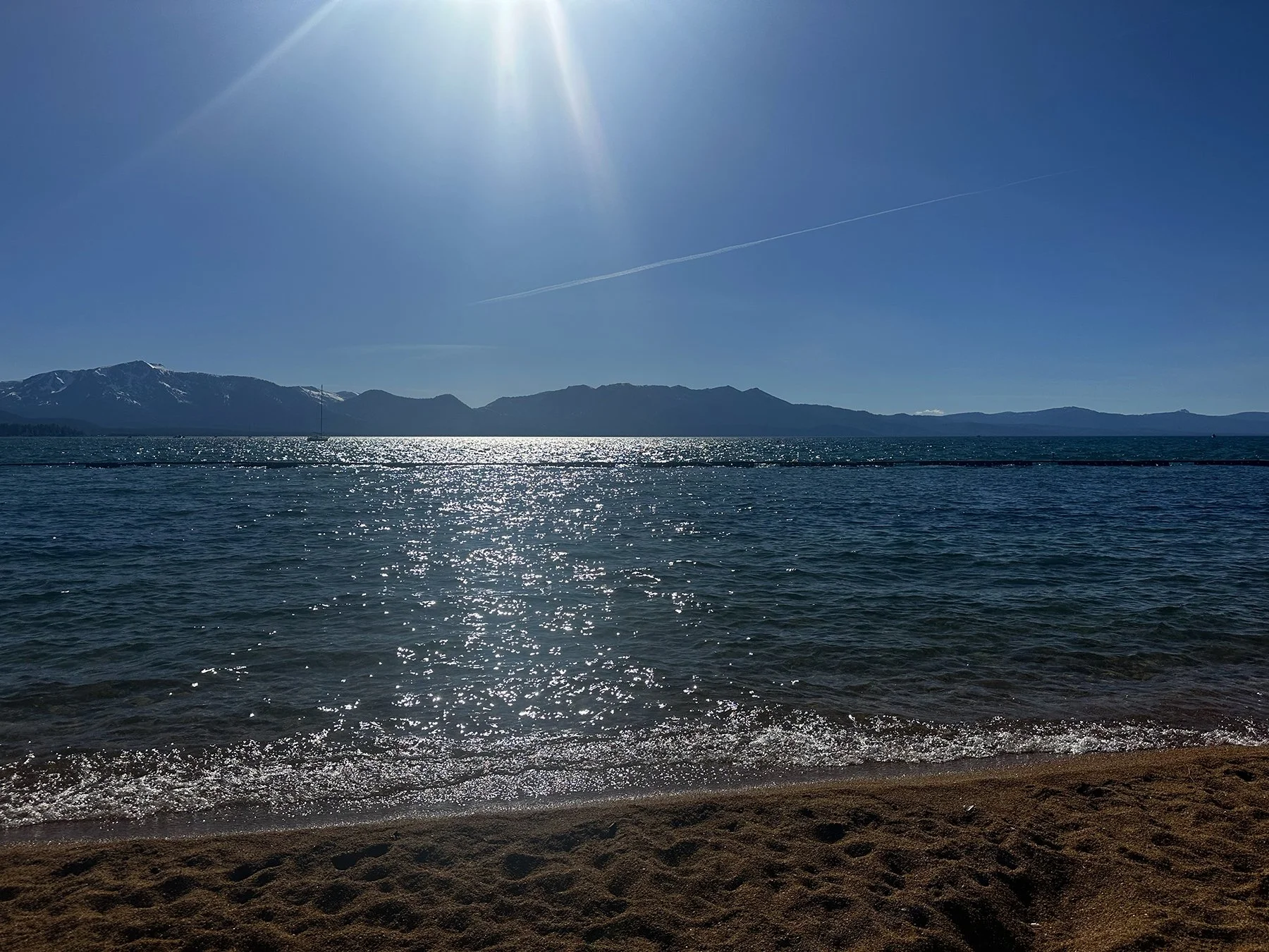
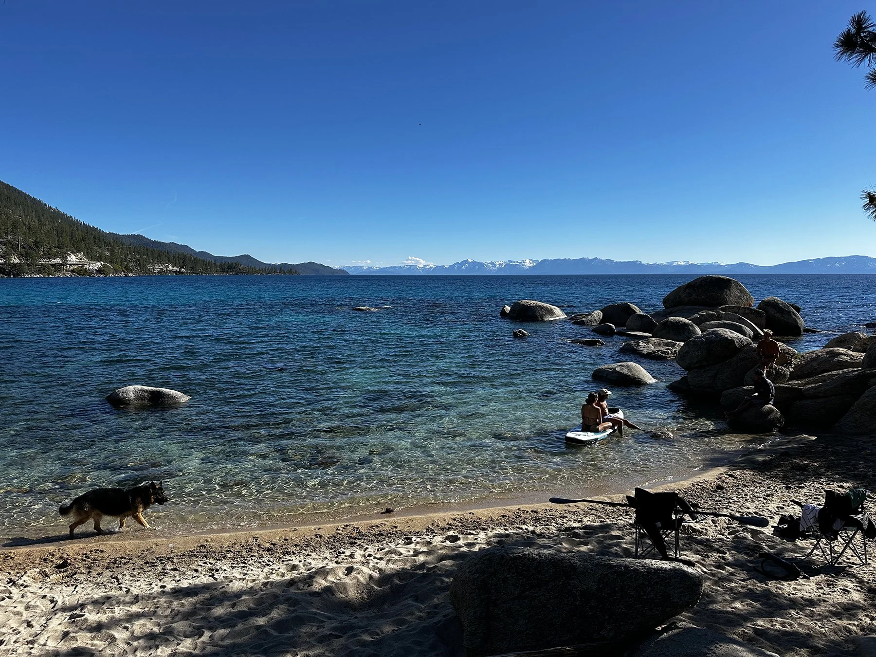
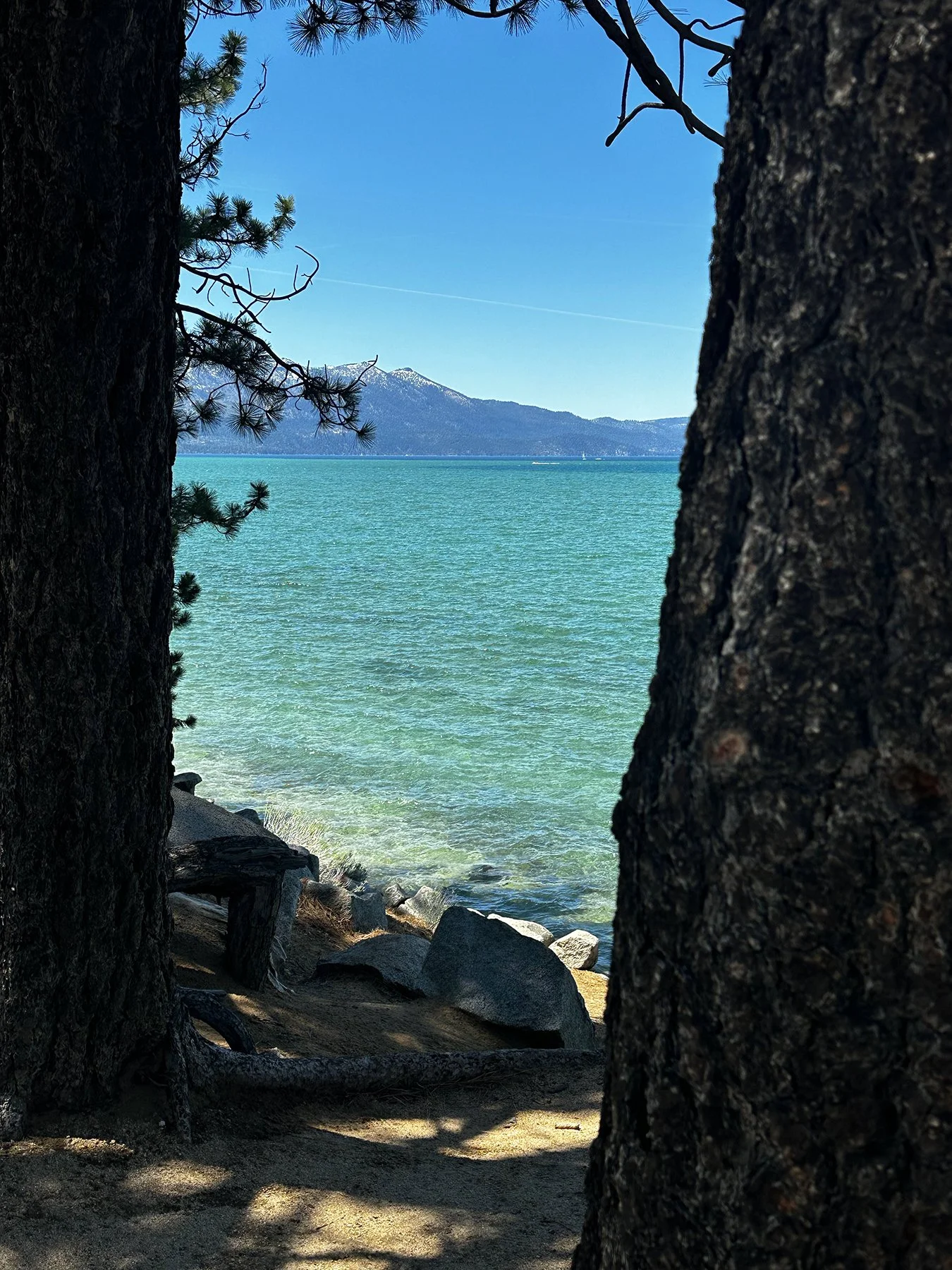
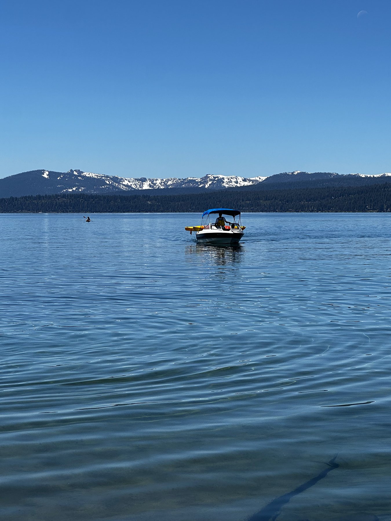
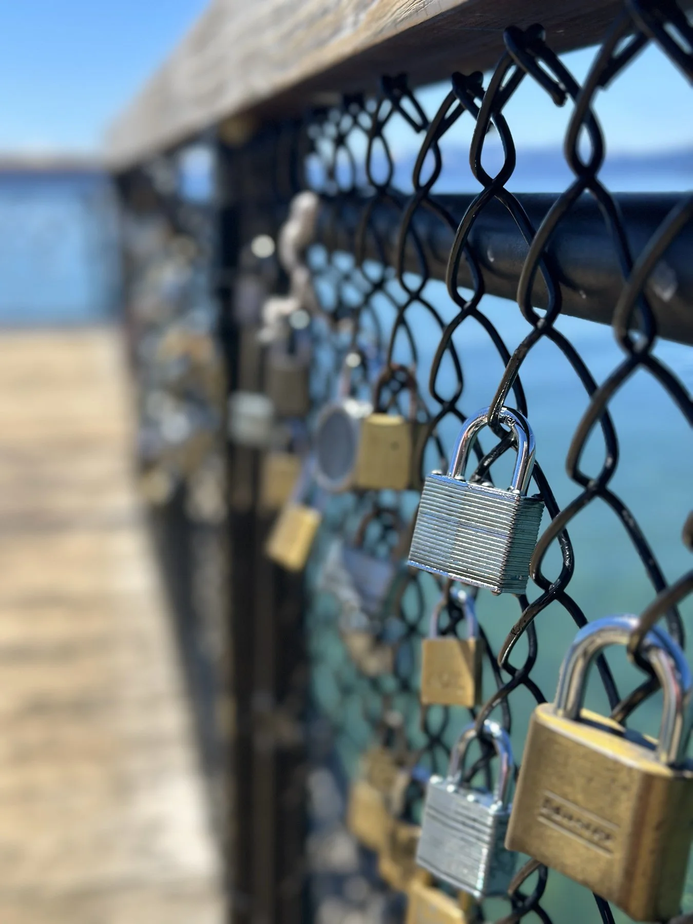
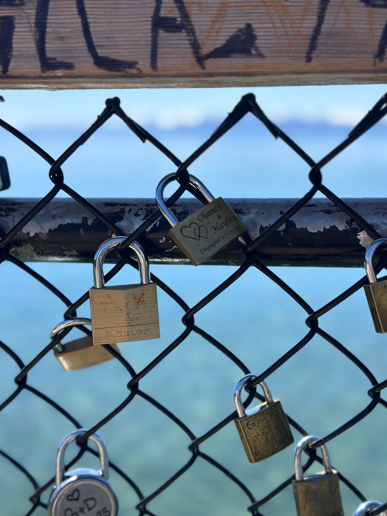
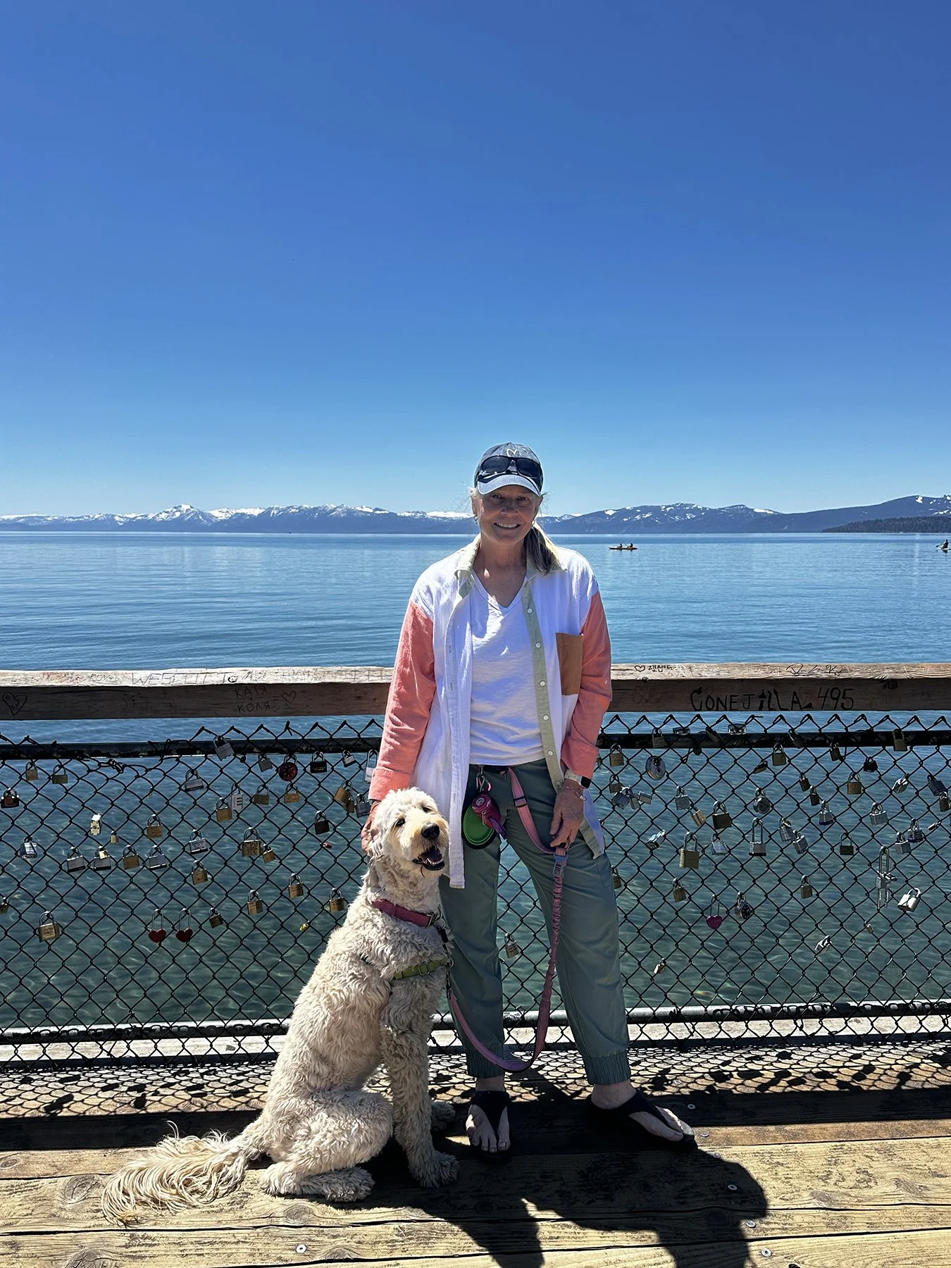
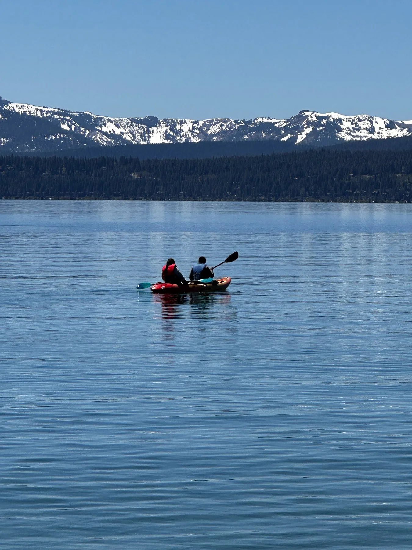
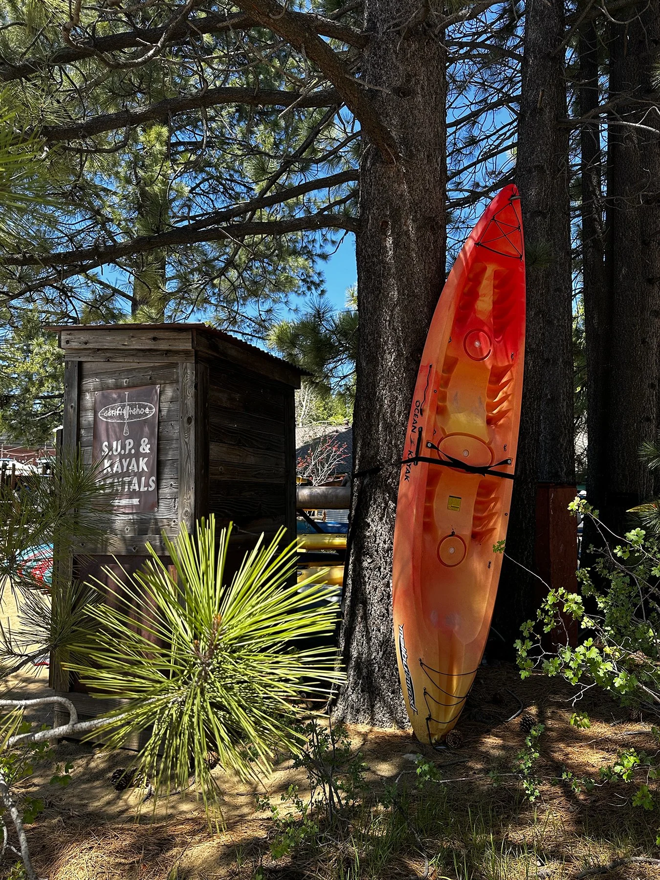
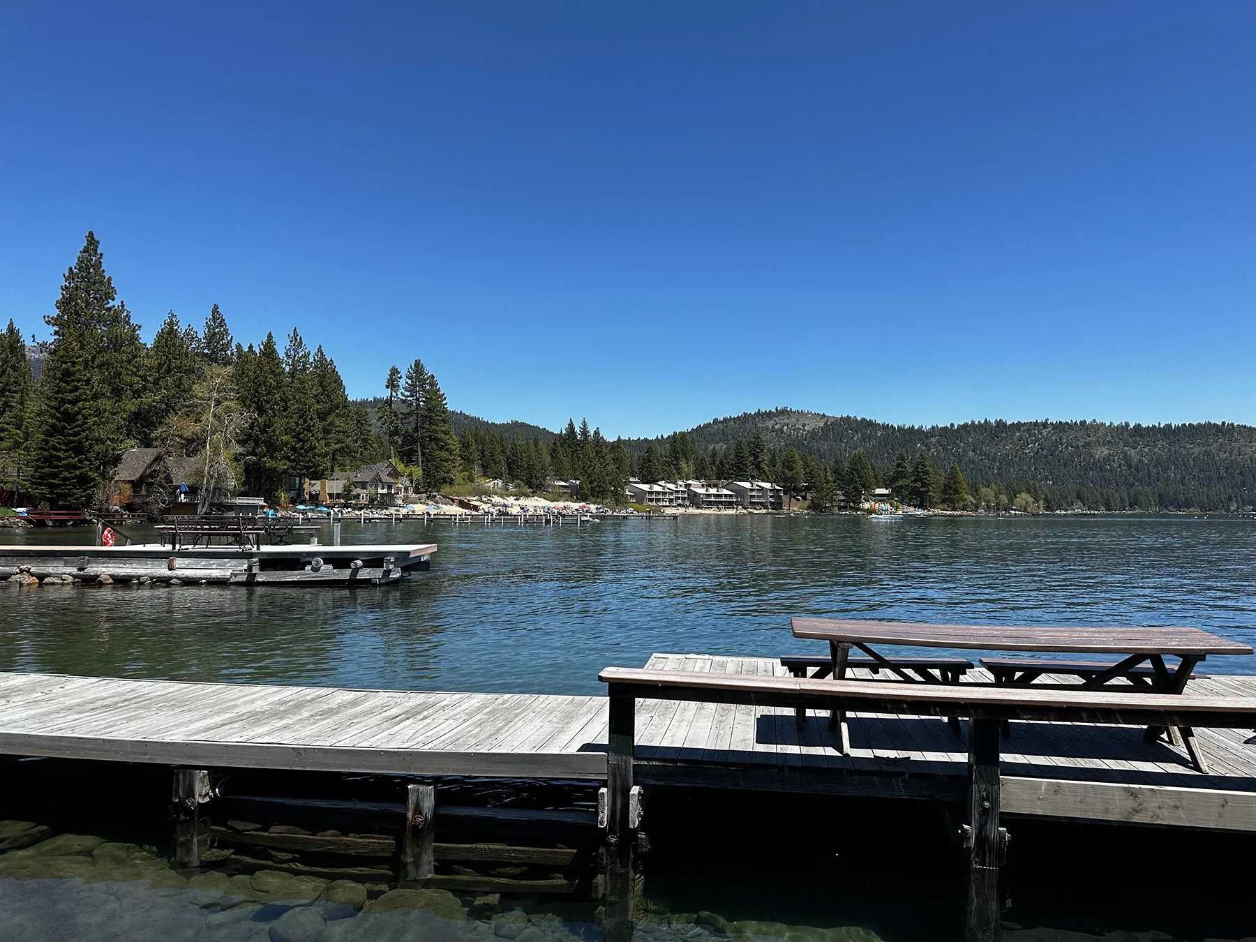
Lake Tahoe – “The Jewel of the Sierra”
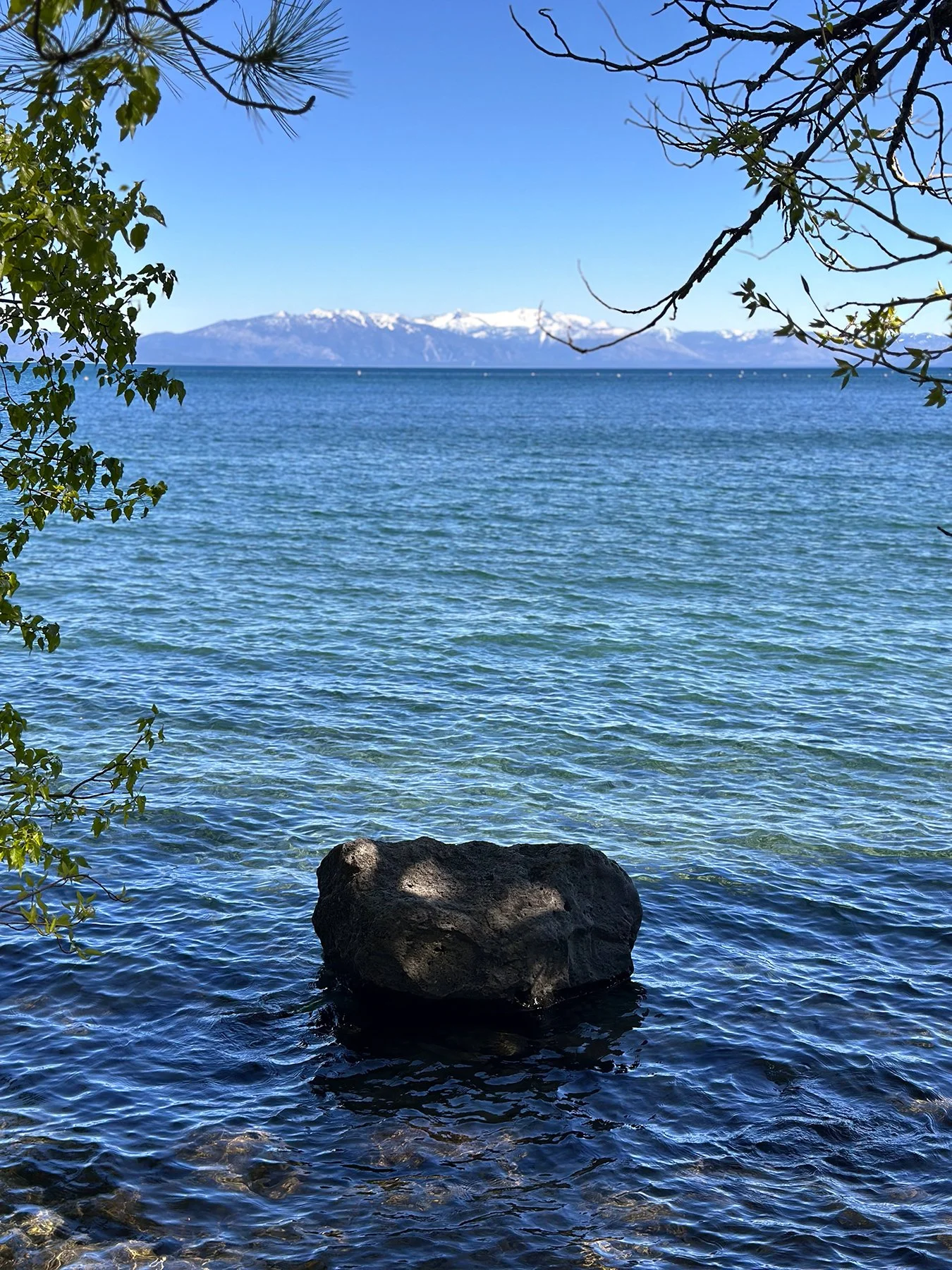
Just when I think I’ve seen the most intense beauty that God has ever created, he surprises me yet again. In Yosemite, I felt like I had experienced heaven on earth, and perhaps I did. But Lake Tahoe? Seriously, I know I am a bit of a Pollyanna (NOUN. A person who is constantly or excessively optimistic.) But I am being authentically me when I say I look at the things of this world with a glass not even half-full, but overflowing. So how could I not fall absolutely in love with Lake Tahoe? It has all of my favorite things—alpine forests, a giant, vibrant blue lake, boulders and waterfalls and ski slopes, oh, my!!
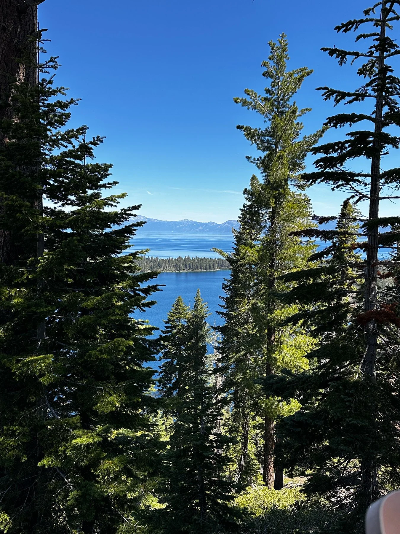
But even I can admit that not everything is roses and butterflies all the time. In this case, it’s that everything here—and in California in general—is so dang expensive. Especially gas. Yes, this is a period of time where gas prices are inflated everywhere. But $6.79 a gallon? Oy. Anyway, after settling in to our campsite in South Tahoe on Day 1, we spent a day hiking around the south end of the lake and just marveling at the alpine beauty.
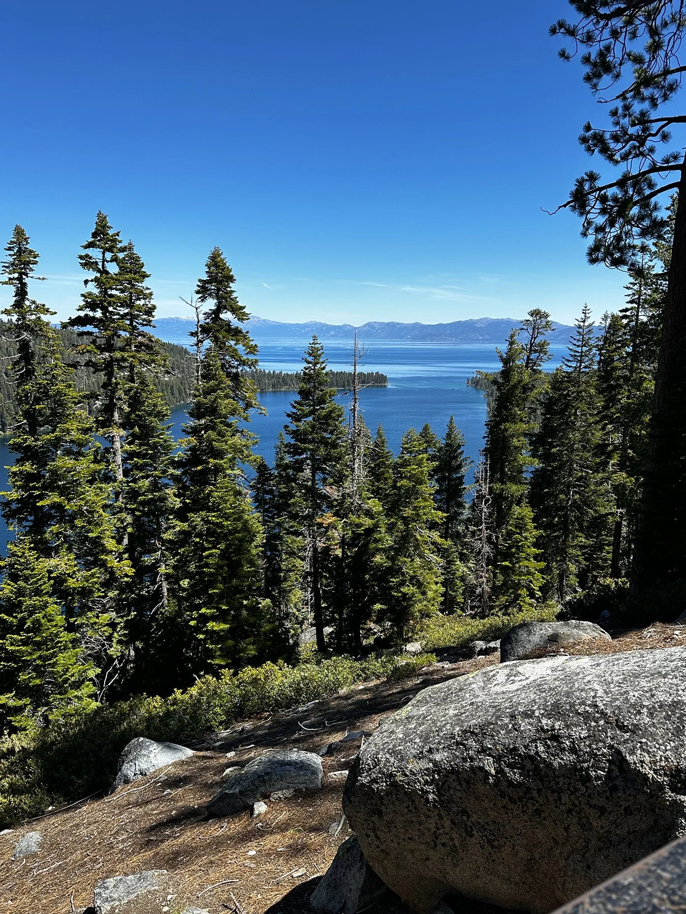
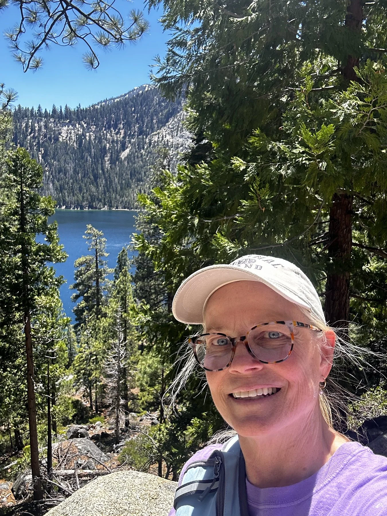
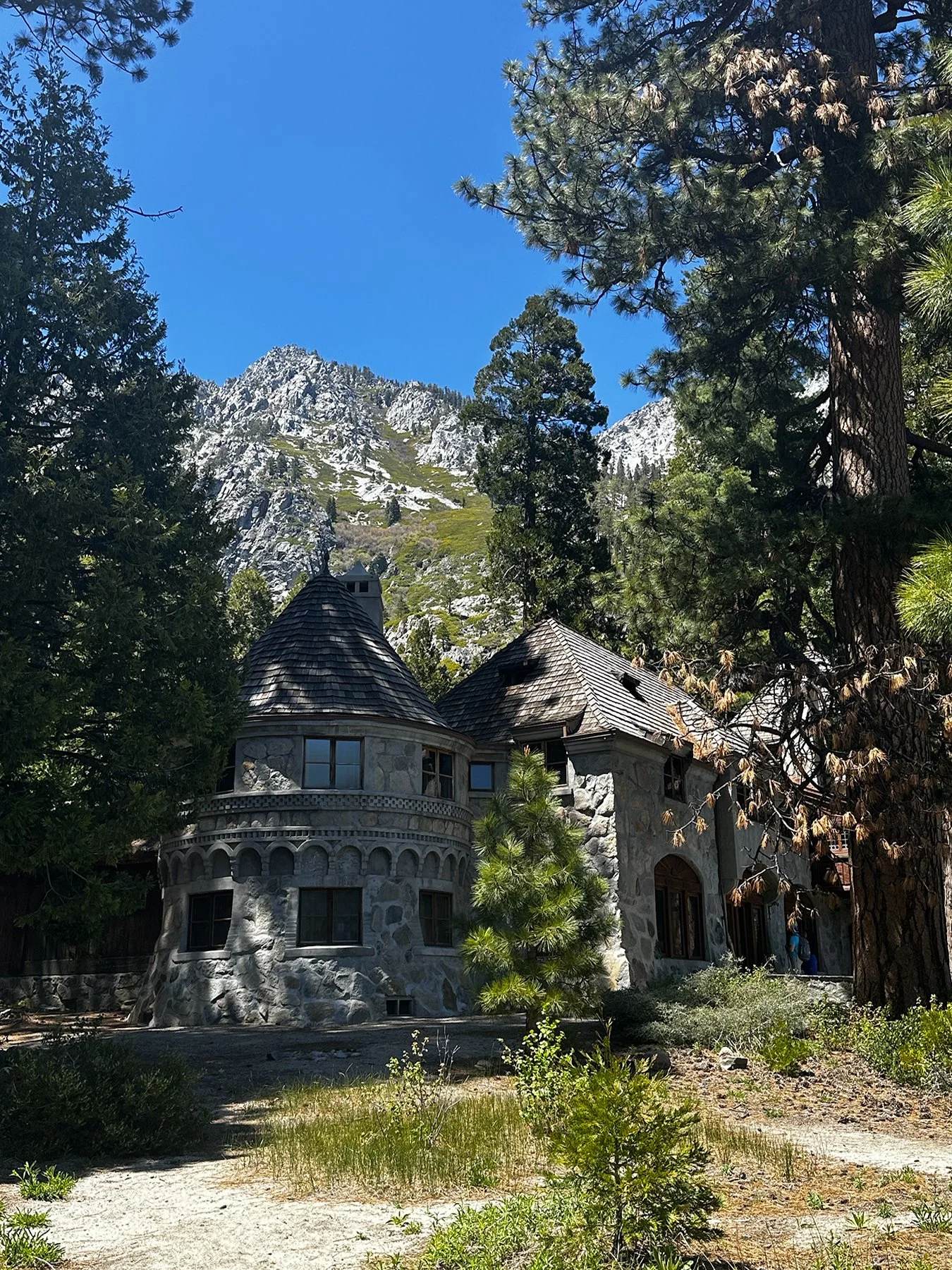
We hiked down to Vikingsholm Castle – just a mile, but with a 500-foot elevation change and 8% grade, at an elevation of 6,232, to boot, the trip back up was taxing, to say the least. My heart was pounding with each step, going up and up and up! It’s admittedly sometimes hard for my ego to let me stop and rest on a hike like this. But I’m getting better at it, I promise!
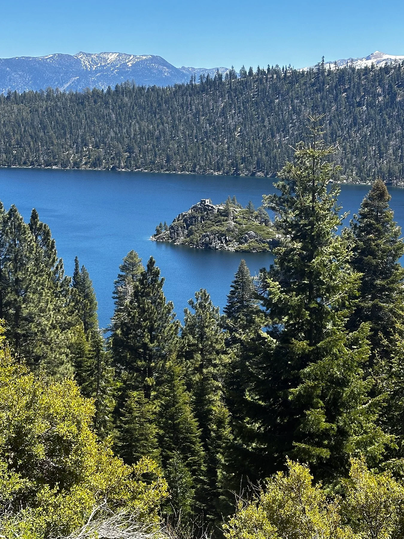
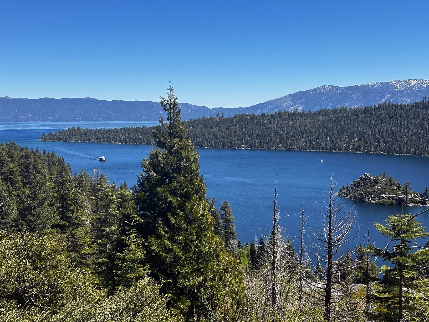
Vikingsholm is located at the head of Emerald Bay, reportedly one of the most photographed spots in the United States. This magnificent castle—a national and California landmark built in 1929 by Lora J.M. Knight because Emerald Bay reminded her of a fjord in Norway—is considered one of the finest examples of Scandinavian architecture outside of the Nordic countries. The property on which Vikingsholm is built includes 232 acres of Tahoe’s most beautiful vistas, the only island in Lake Tahoe, and the only waterfall that flows directly into the lake.
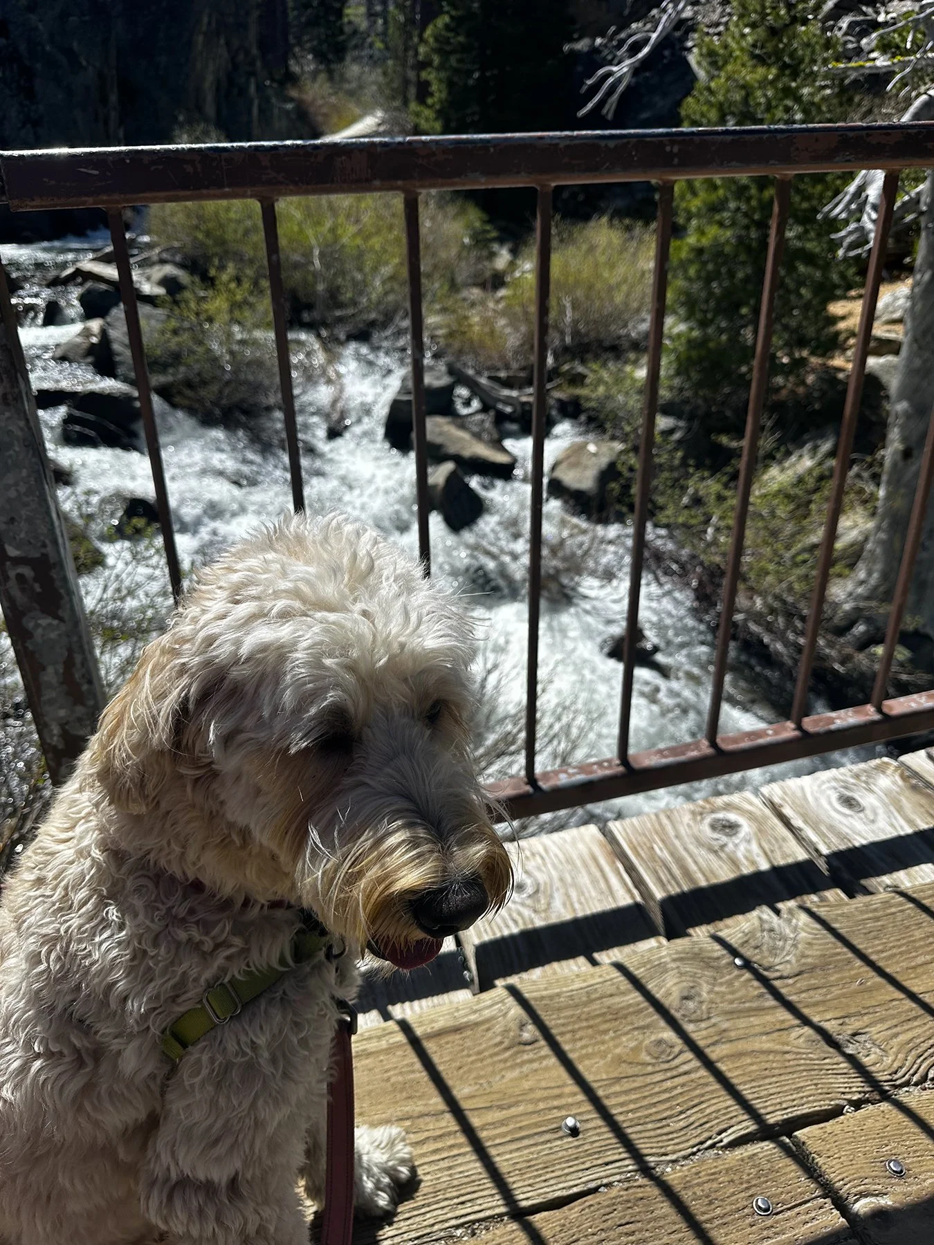
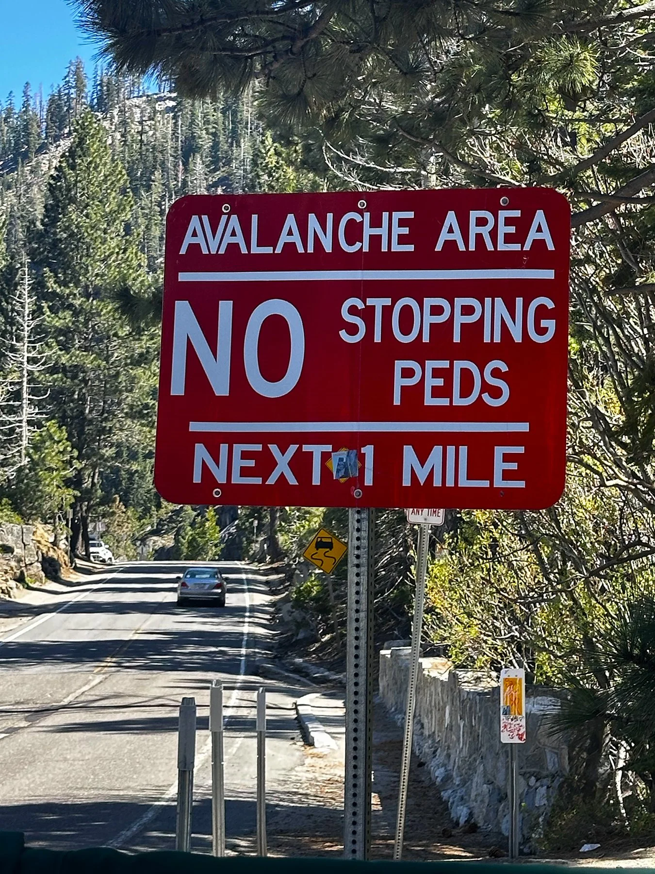
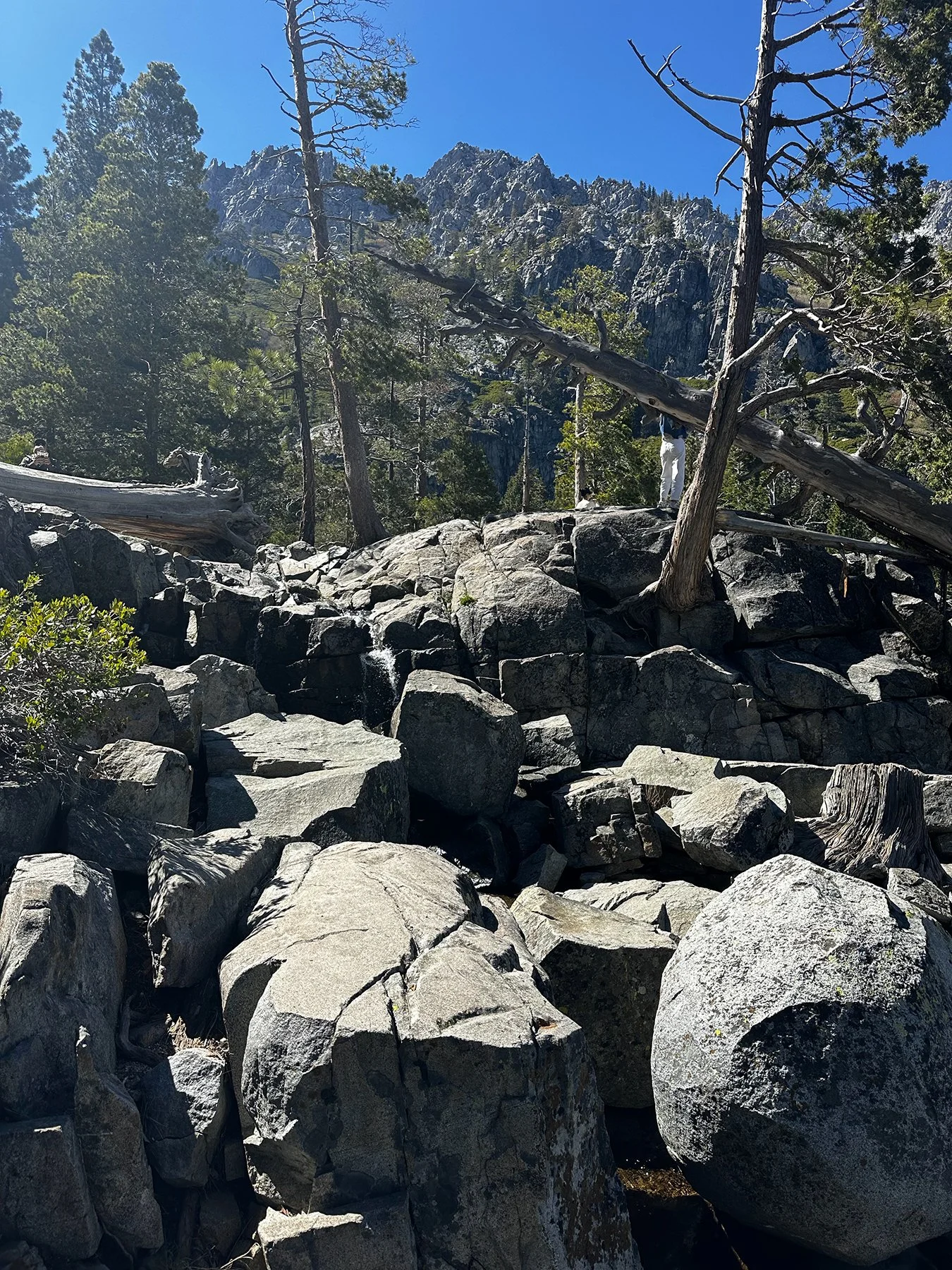
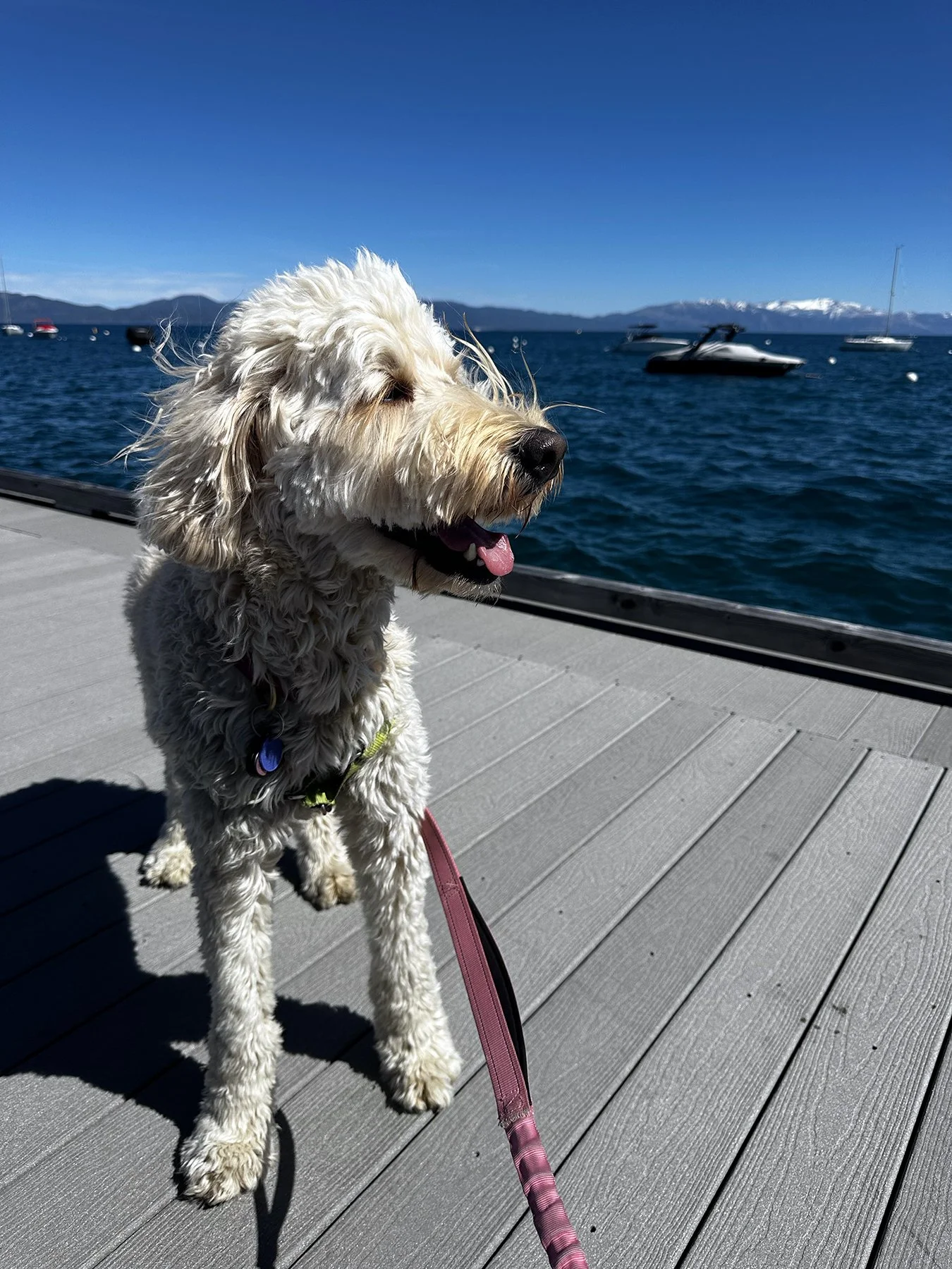
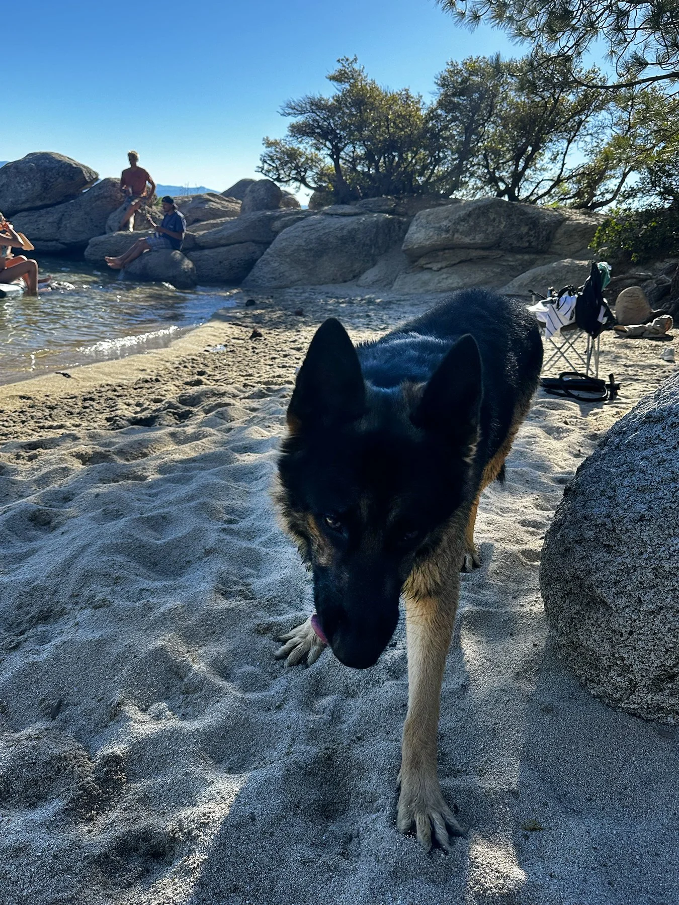
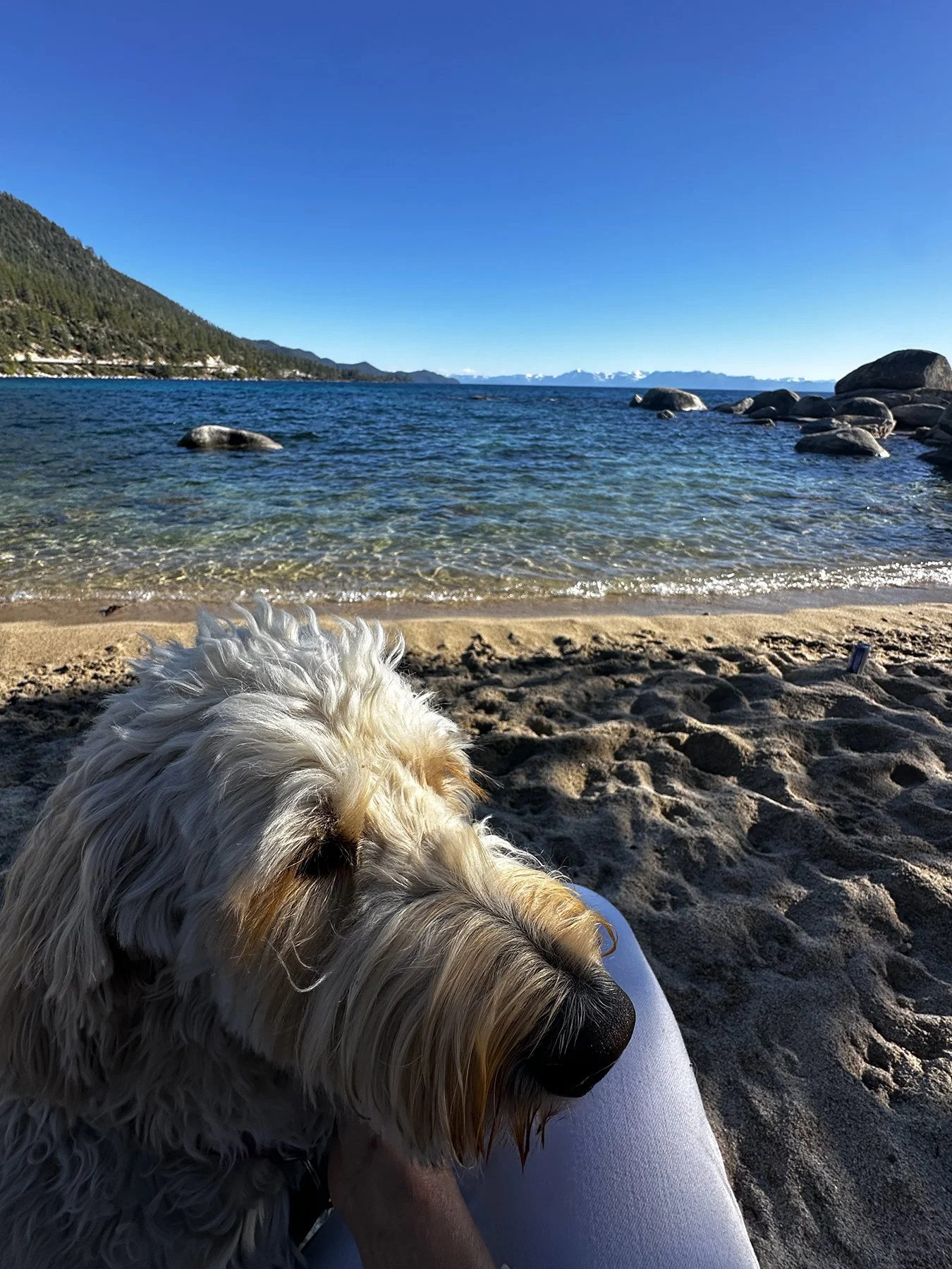
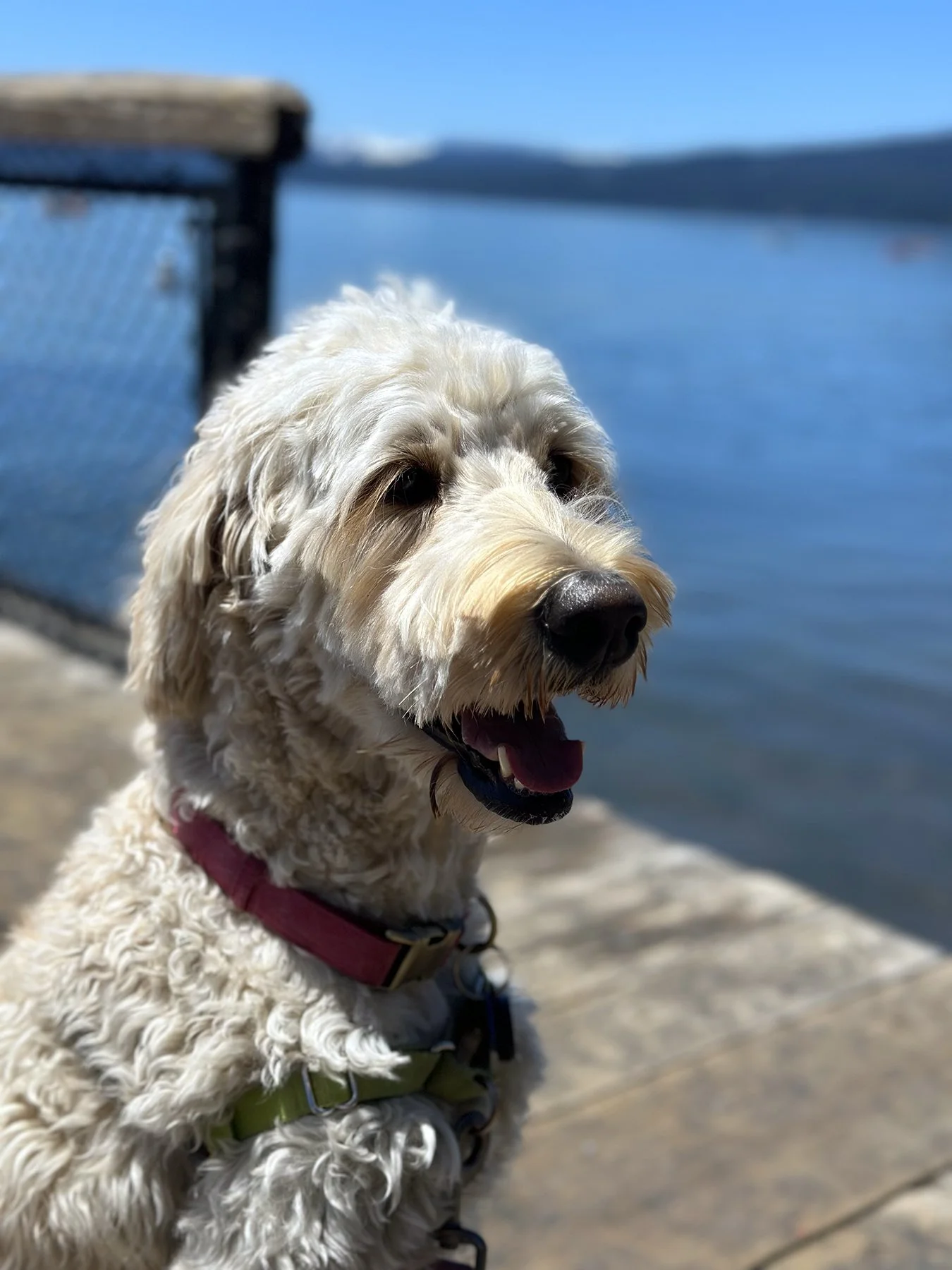
We next headed to Eagles Falls and hiked UP to the waterall. I think Maisie is part mountain goat, the way she bounds up rocky slopes, over boulders and through streams. She really is the best travel buddy. Best sign of the day? “Avalanche Area Next 1 Mile”
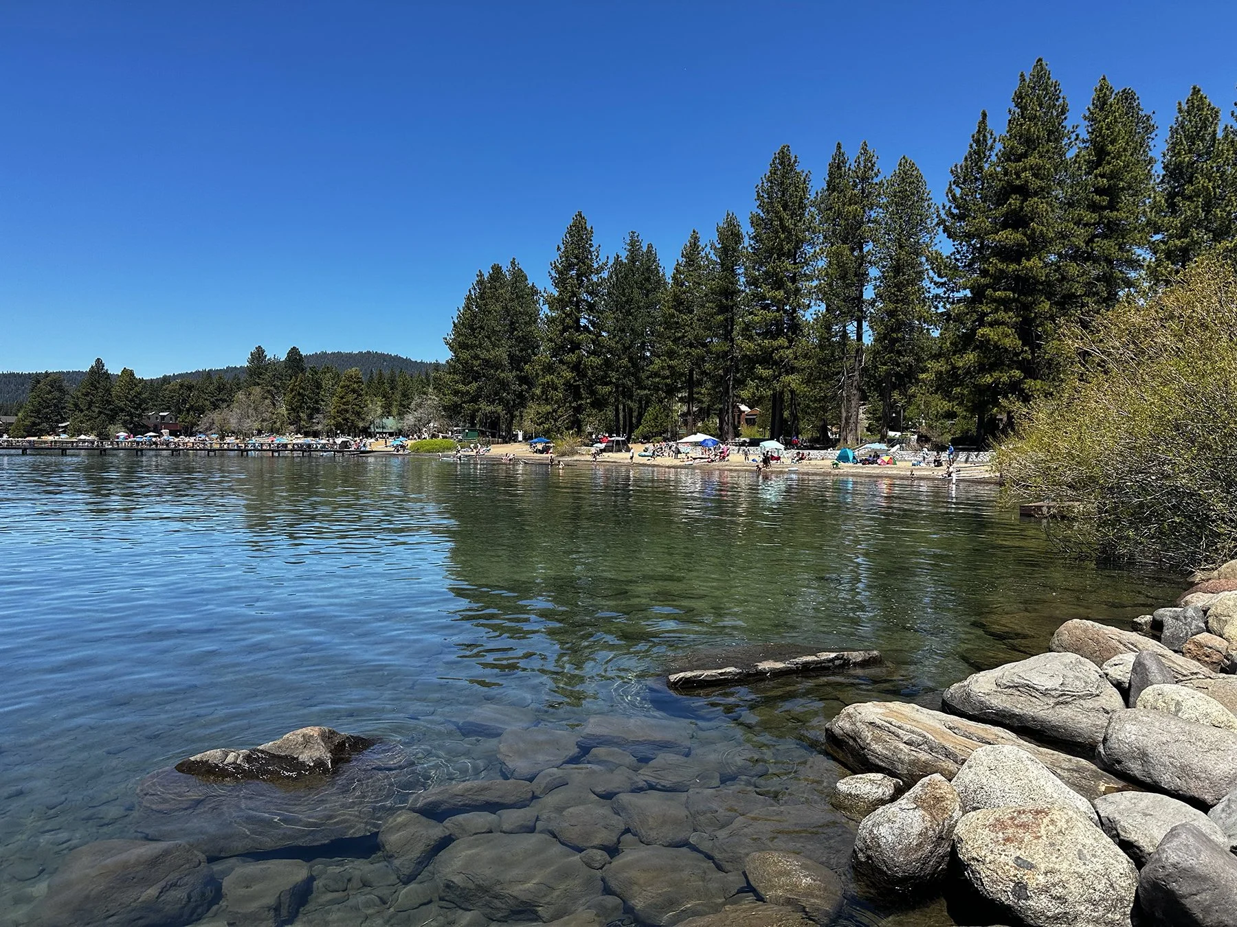
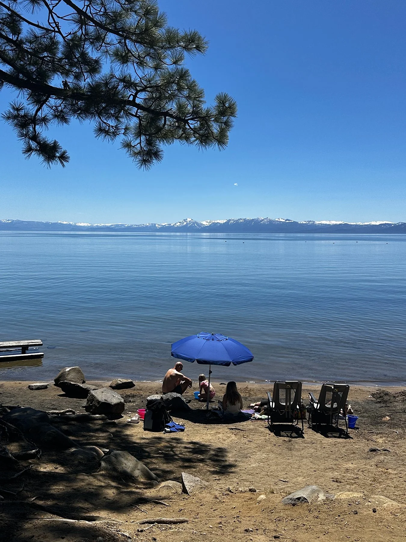
There are quite a few beaches around the lake, many of which are public and some of which allow dogs. So we went down to Lakeside Beach at the southern end of the lake, and admired a soon-to-be setting sun as it moved lower in the sky. I guess I’m not really one to sit around and wait for the sun to set – literally and figuratively?! – so we headed back to rest up for another epic day in the mountains and around the lake.
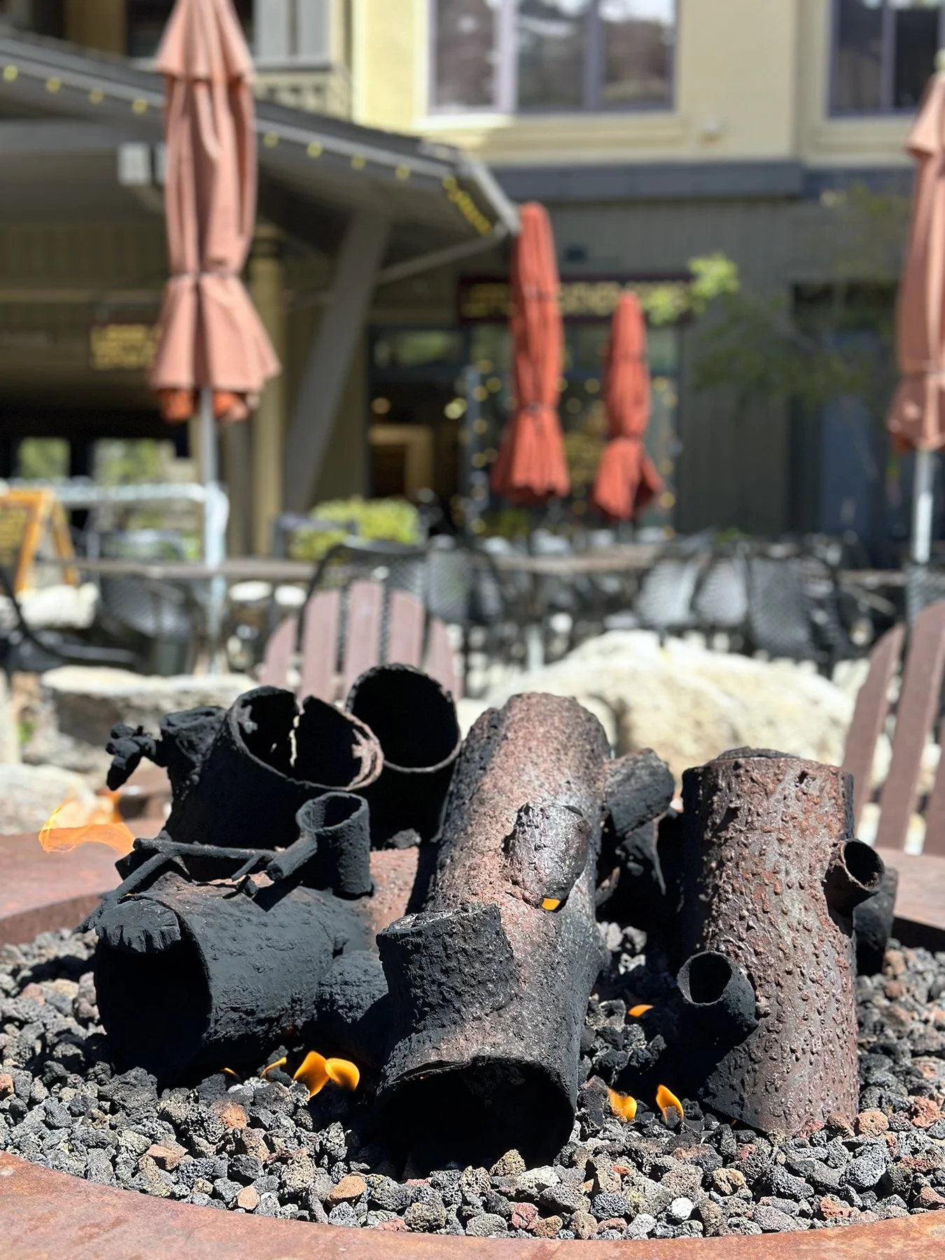
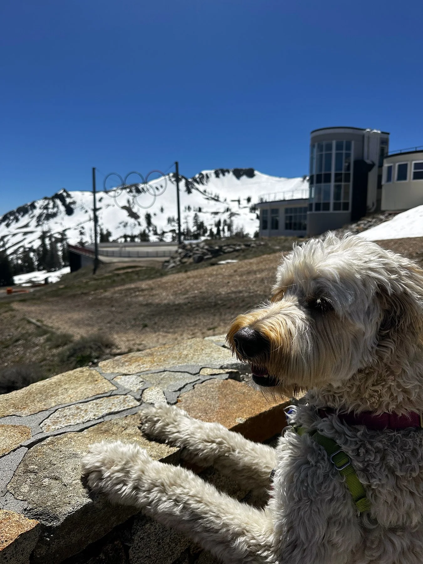
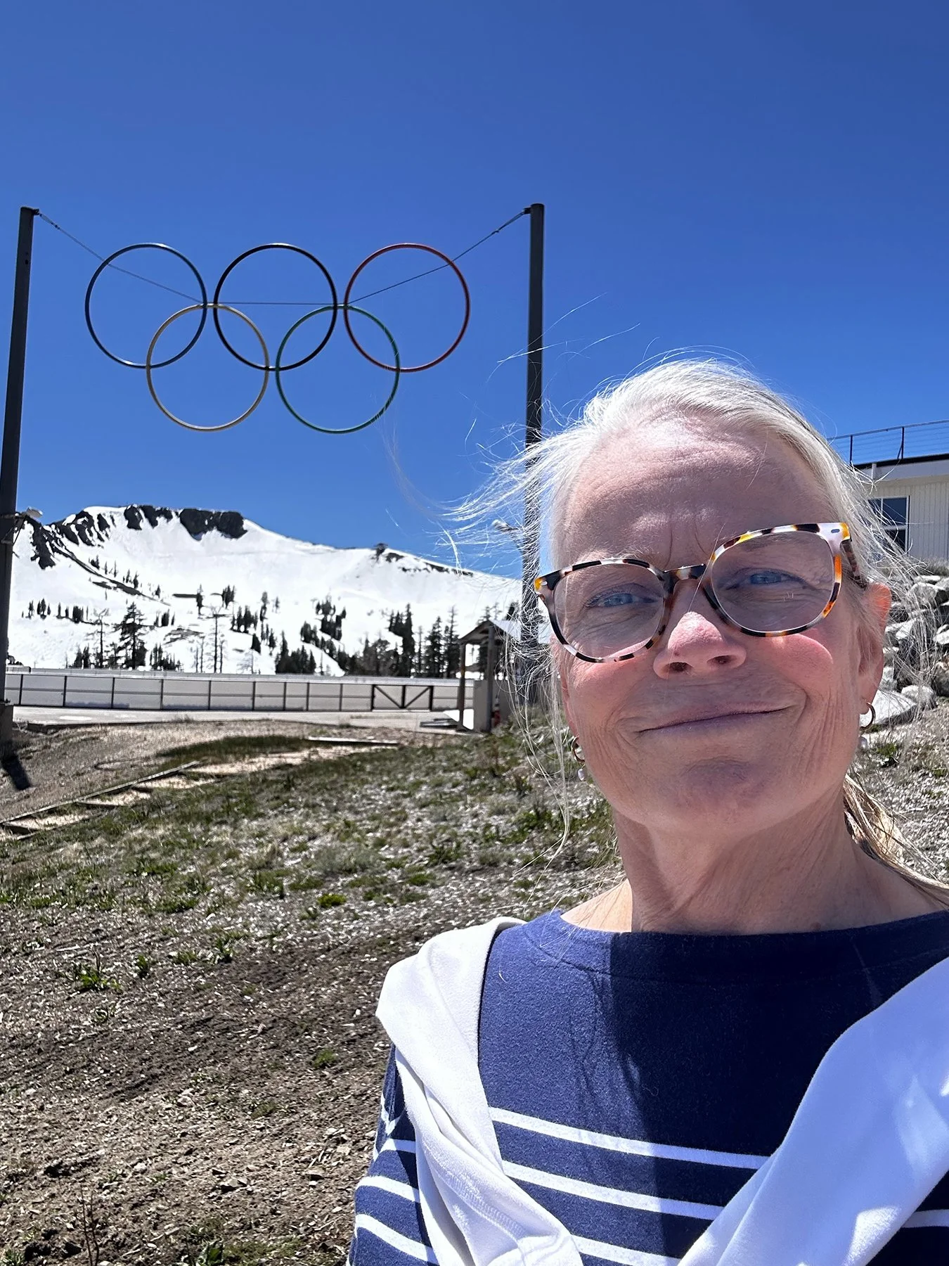
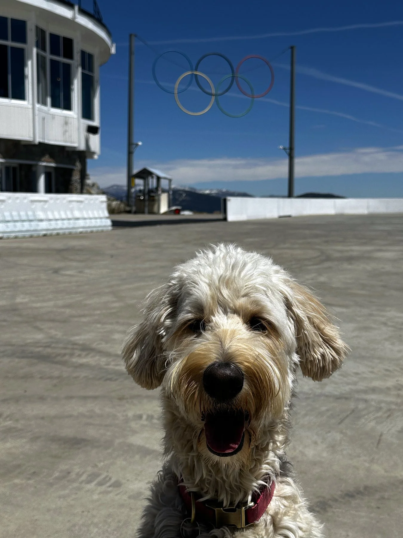
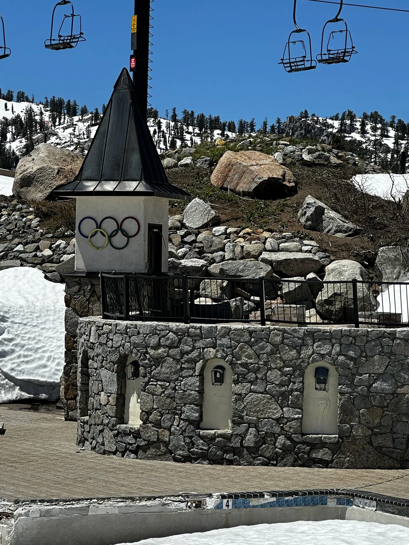
I may have mentioned this before, but I’ll be darned if I forget this all the time. But it sure seems that the best stops on our little trip around the country are the ones that aren’t planned. When looking at the map before heading to bed, I noticed a town called “Olympic Valley.” In case you didn’t know, not just anyone can use the word “Olympic” in their name because it is trademarked and highly valued. On our drive up to the north end of the lake the next day, I realized that this “Olympic Valley” is just 6 miles off of our planned route. So I said, “Why not?”
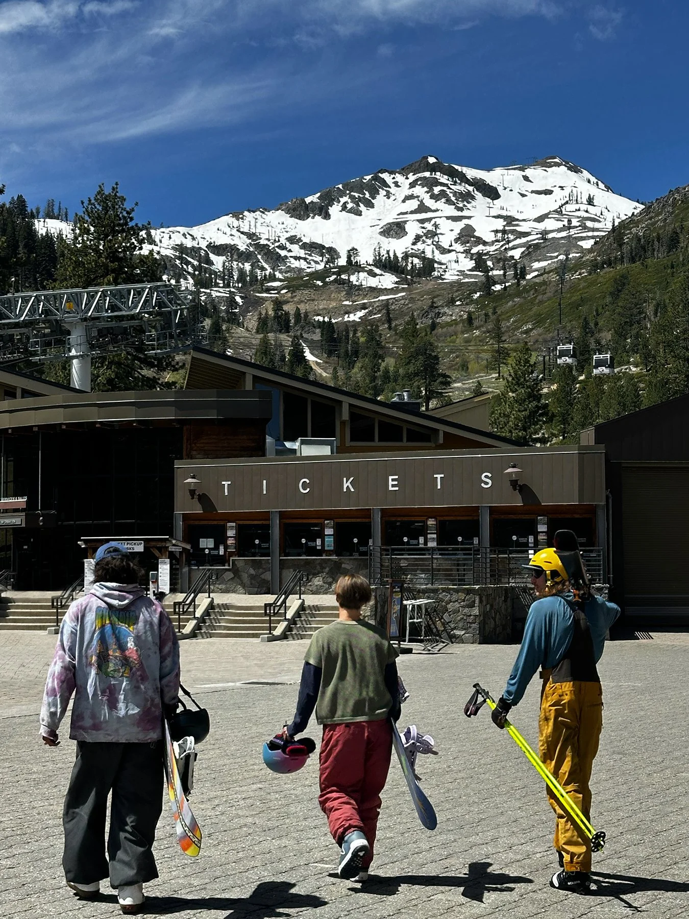
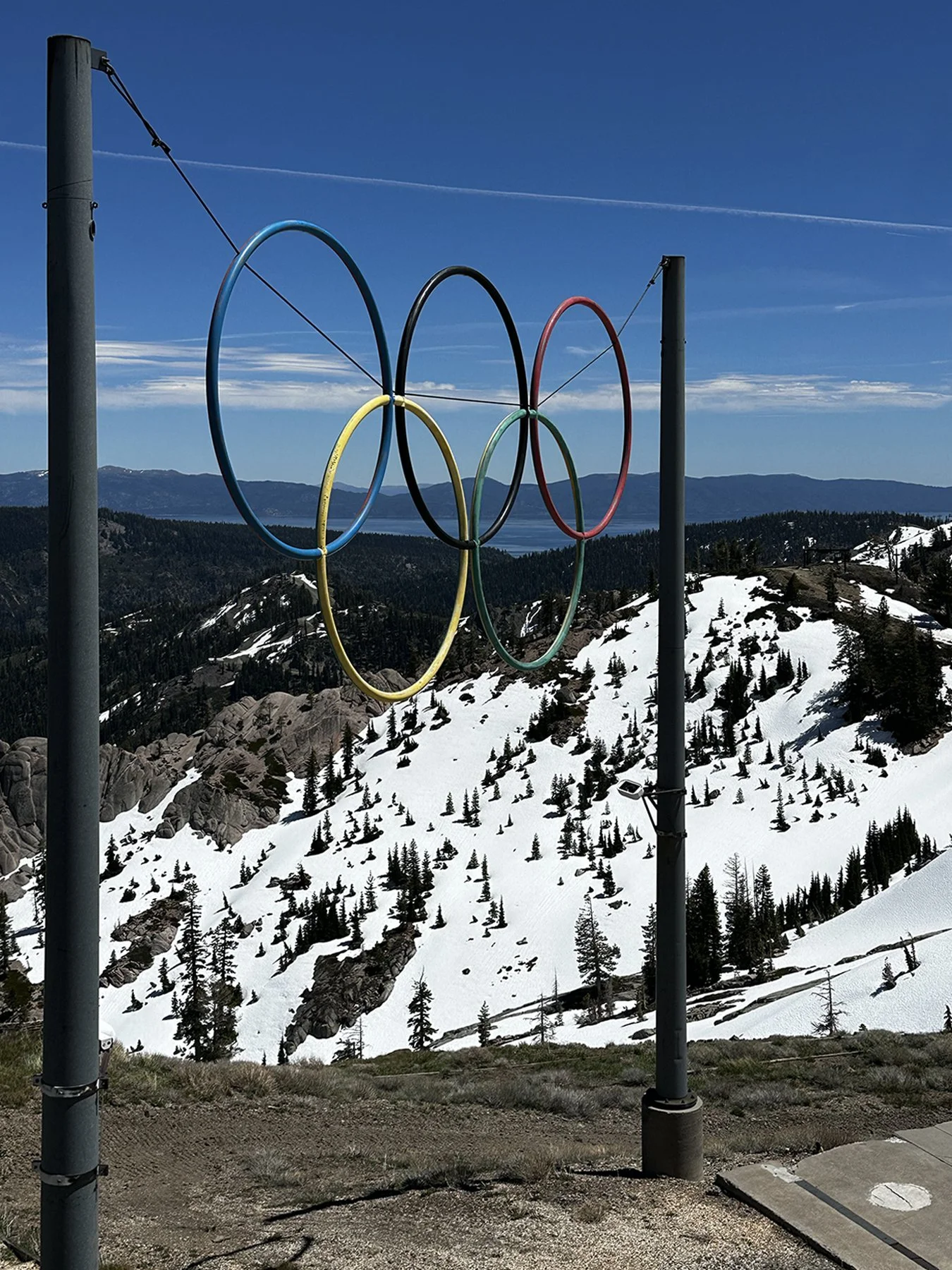
And OH MY GOSH. Y’all. It is actually the area that houses what used to be called Squaw Valley. You know, like, one of the most well-known ski resorts in the West? They hosted the Winter Olympics here in 1960. Okay, that was a minute ago, but still … what a treat! I LOVE all things Olympics :D.
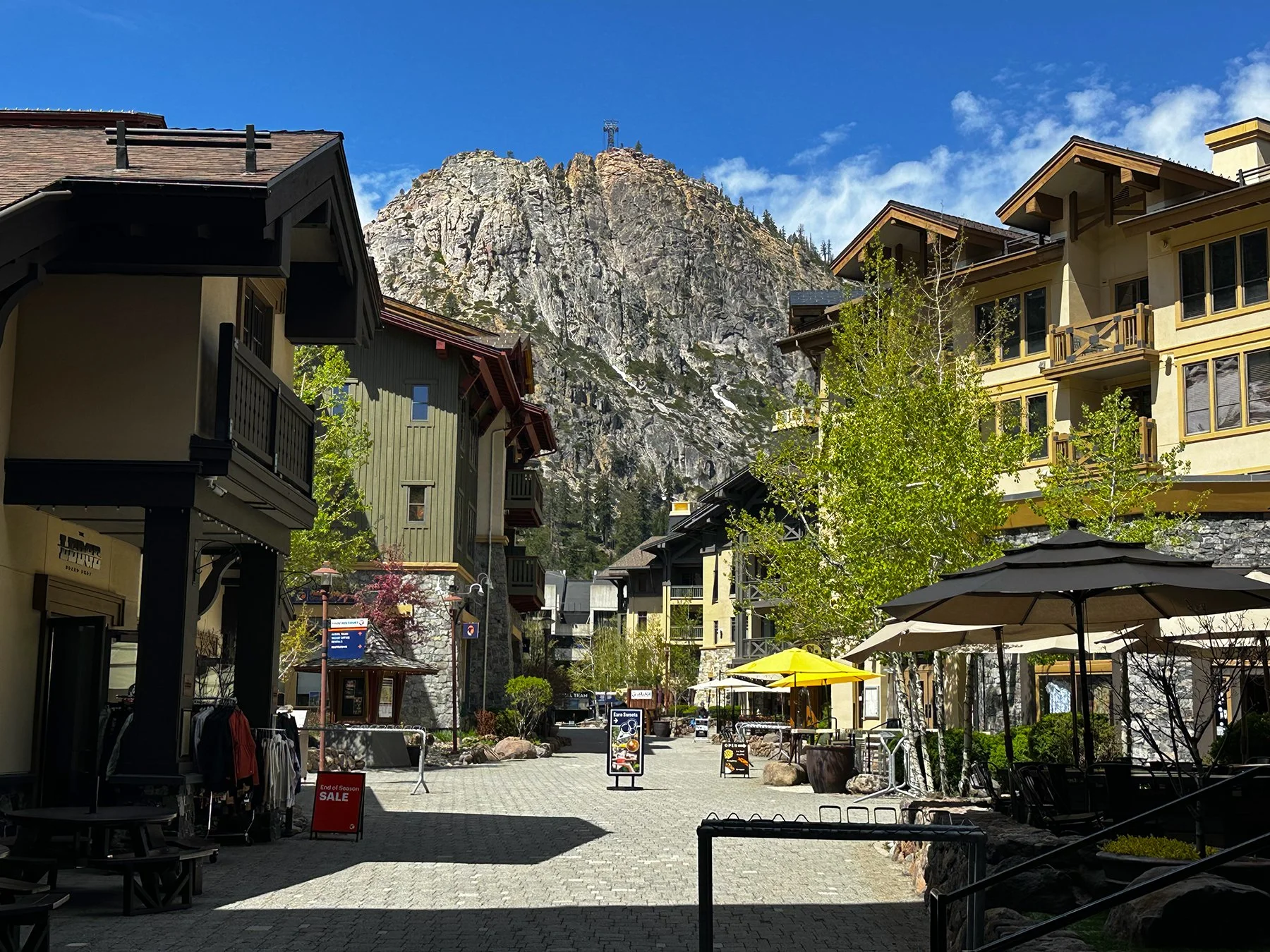
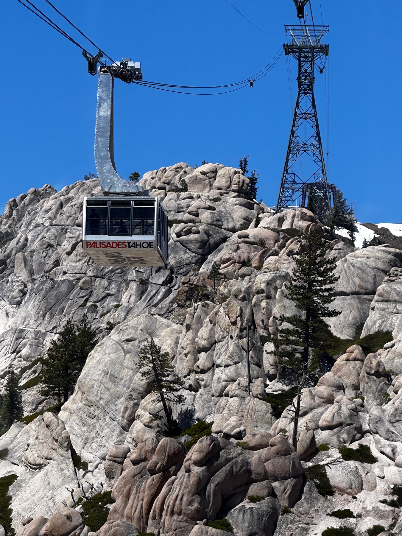
So, YES, Maisie and I walked all over the alpine ski resort village. My favorite type of place on earth! And of course we took the gondola to the top; it’s not even Maisie’s first gondola ride as we rode a couple in Vermont and New Hampshire last fall! I even missed some of the views from the ride up since I found myself deep in conversation with strangers over dogs (not the first time, and not the last, as Maisie is most definitely a people-magnet).
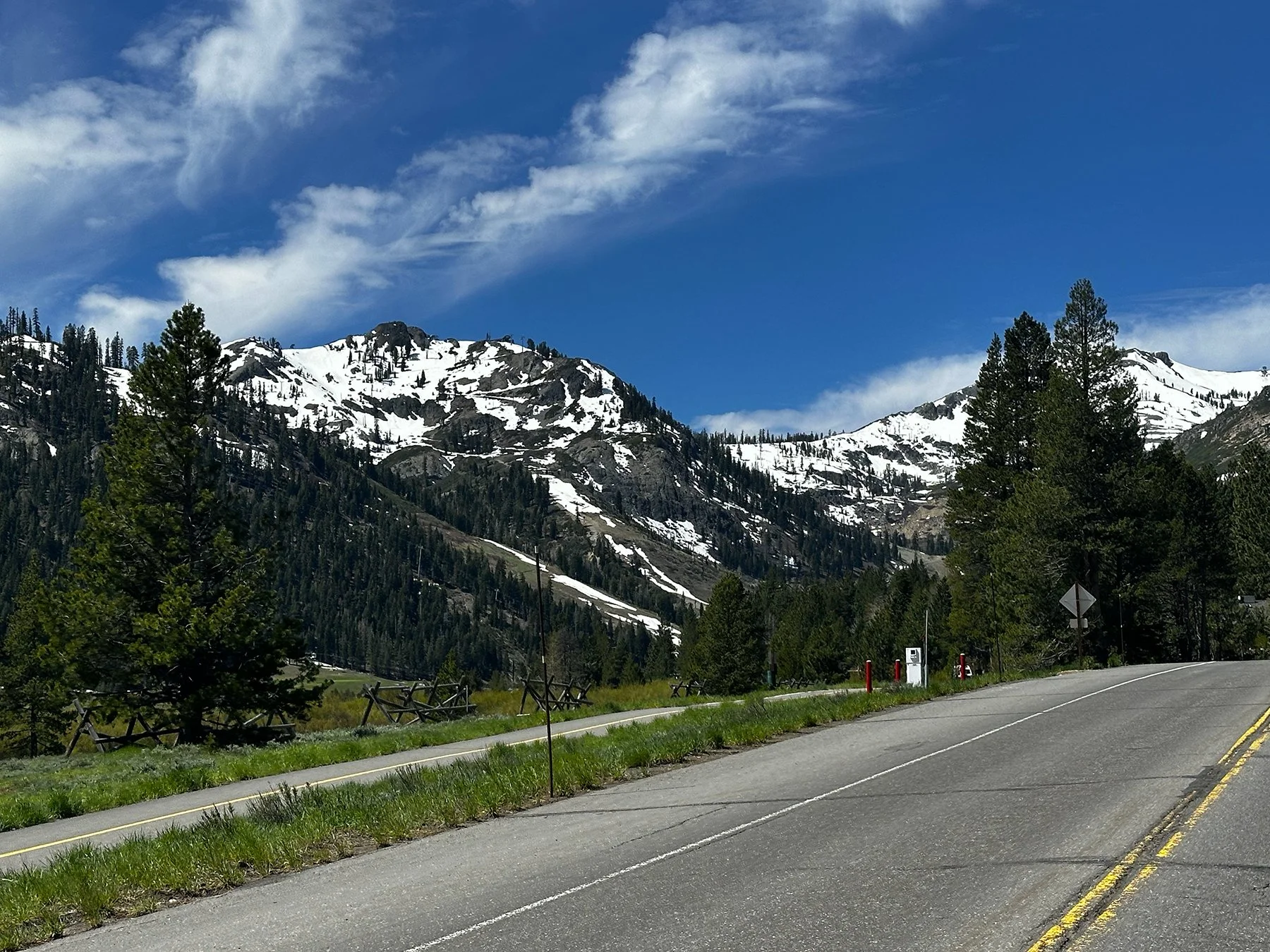
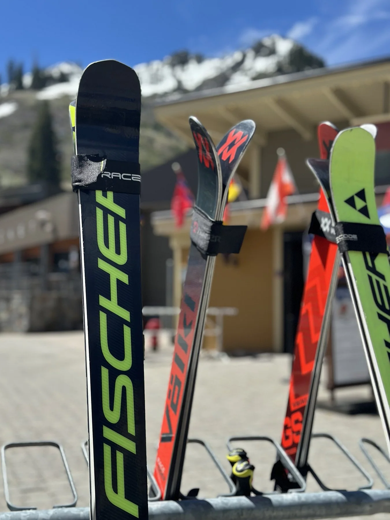
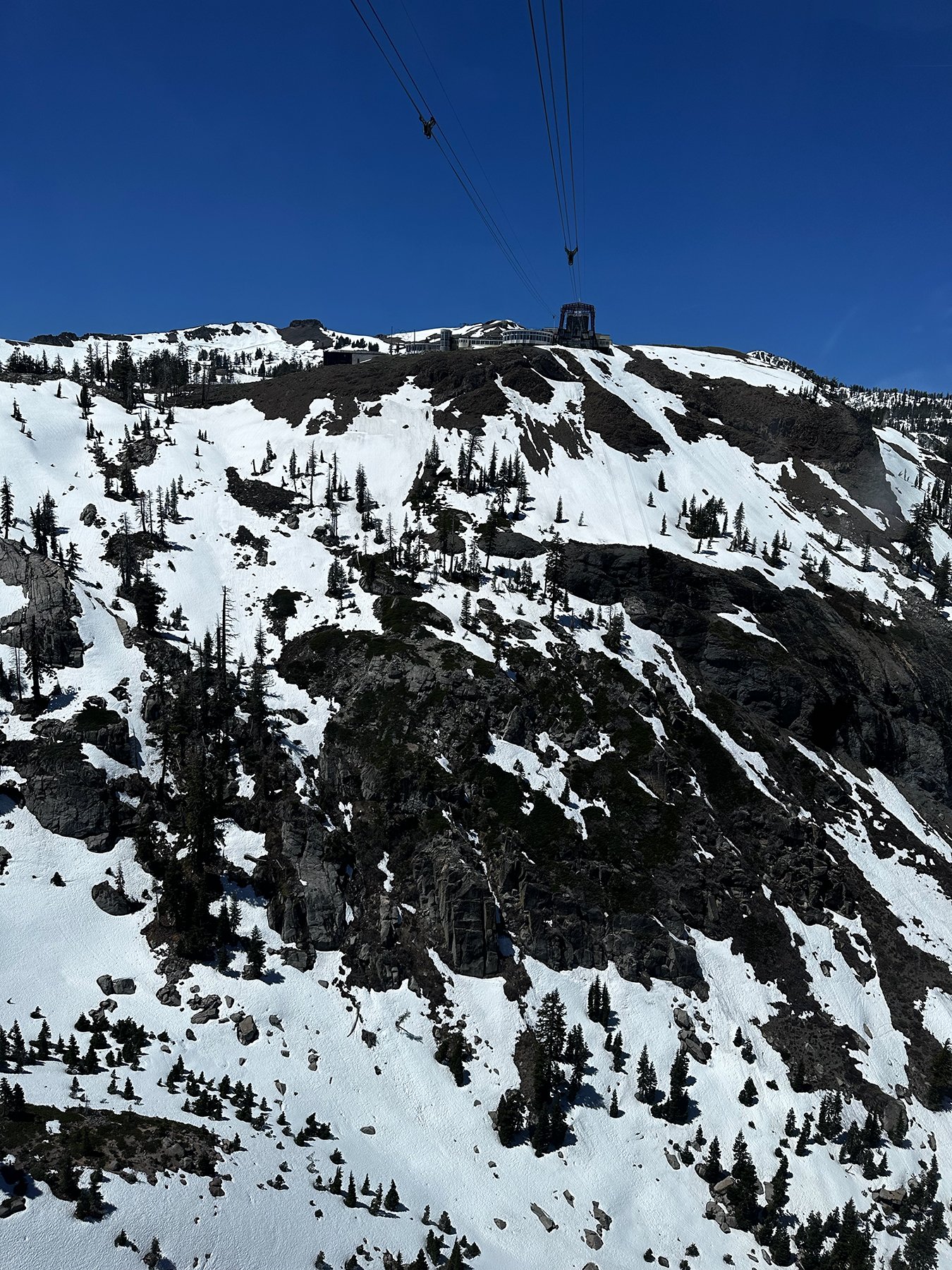
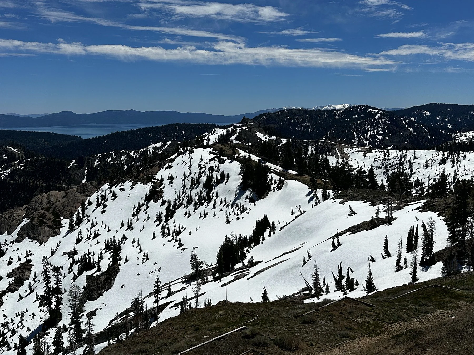
Nonetheless, when we arrived at the top of what is now called “Palisades Tahoe” (they changed the name from Squaw Valley in 2021), we were delighted to find snow at the top and even glimpsed some Spring skiers. Reminder: it is MAY. What?!! With Lake Tahoe in the distance over the snow-covered mountains, I found myself holding my breath. Just. Epic. Beauty. This ski resort actually has a massive 3,600 skiable acres across six peaks, and reaches a top elevation of 9,010 feet. It has 30 chairlifts, y’all. 30!
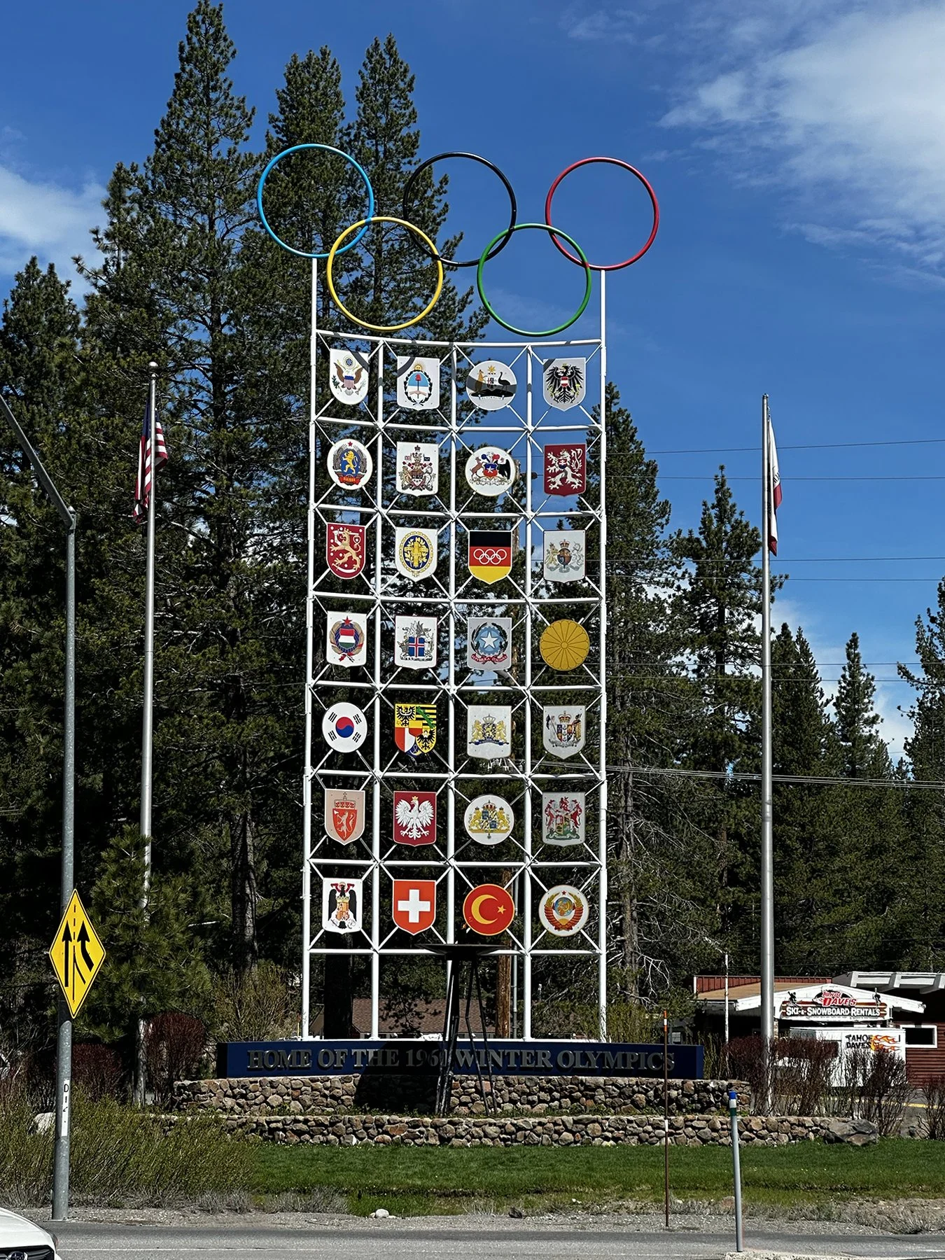
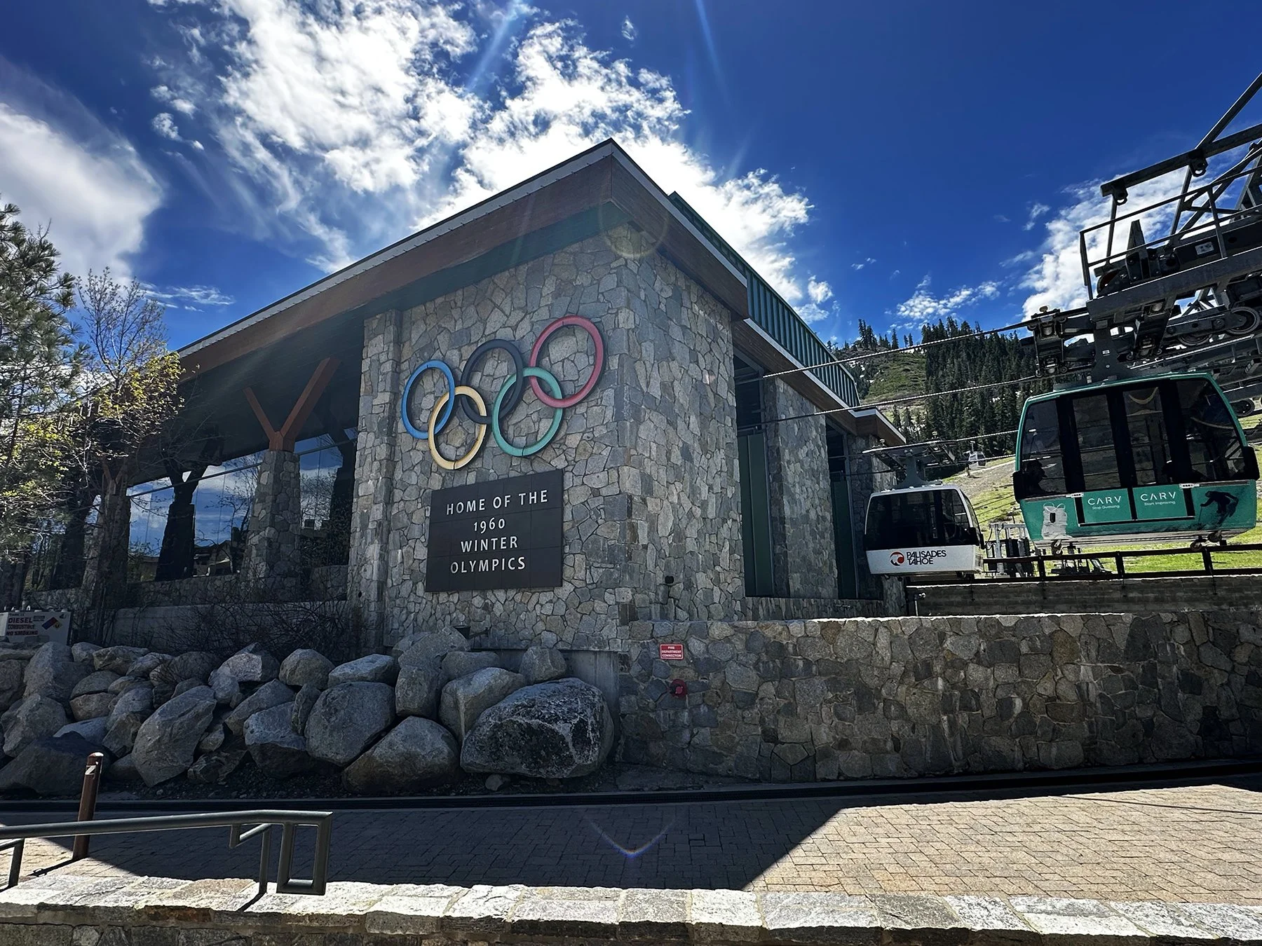
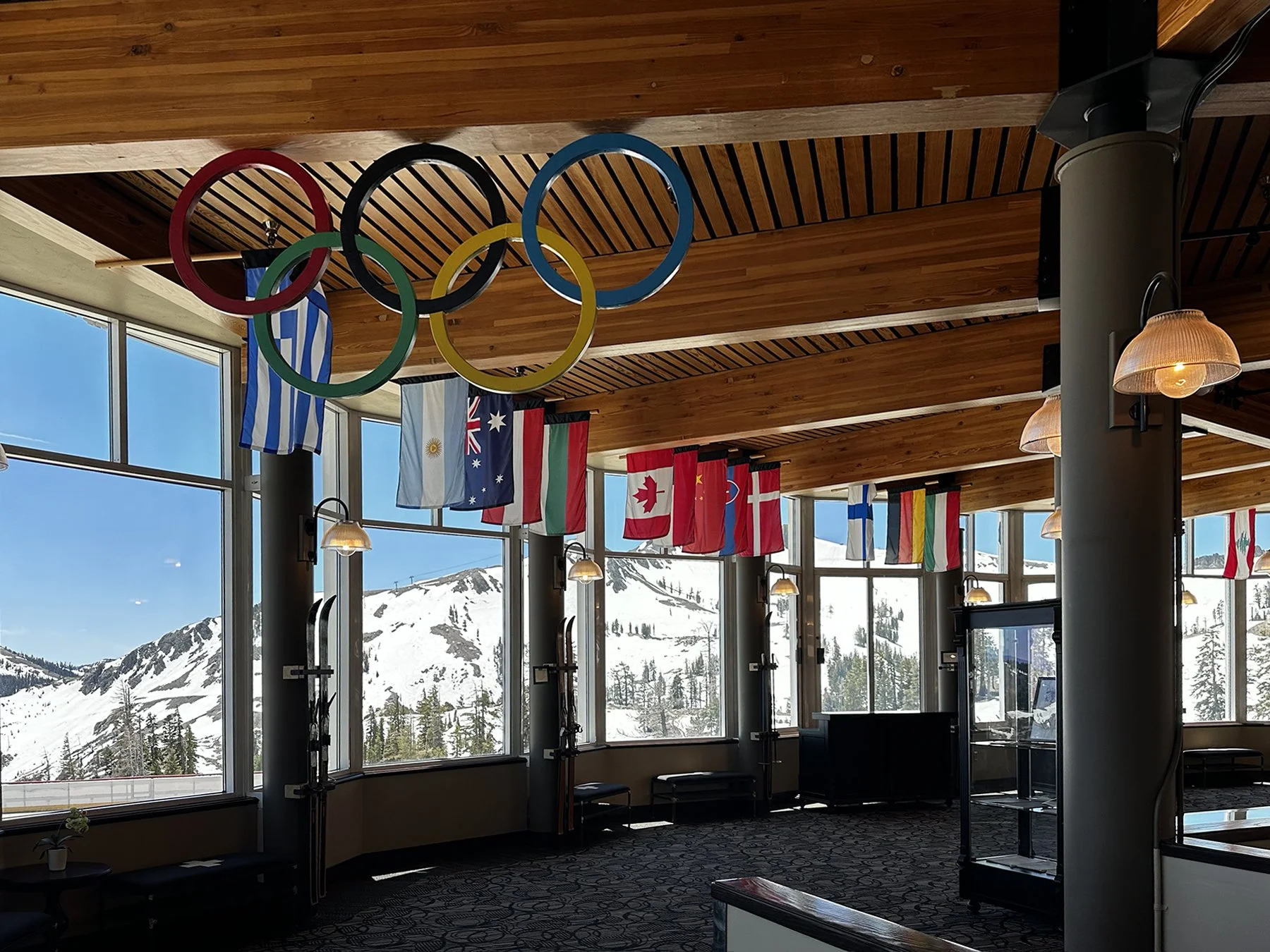
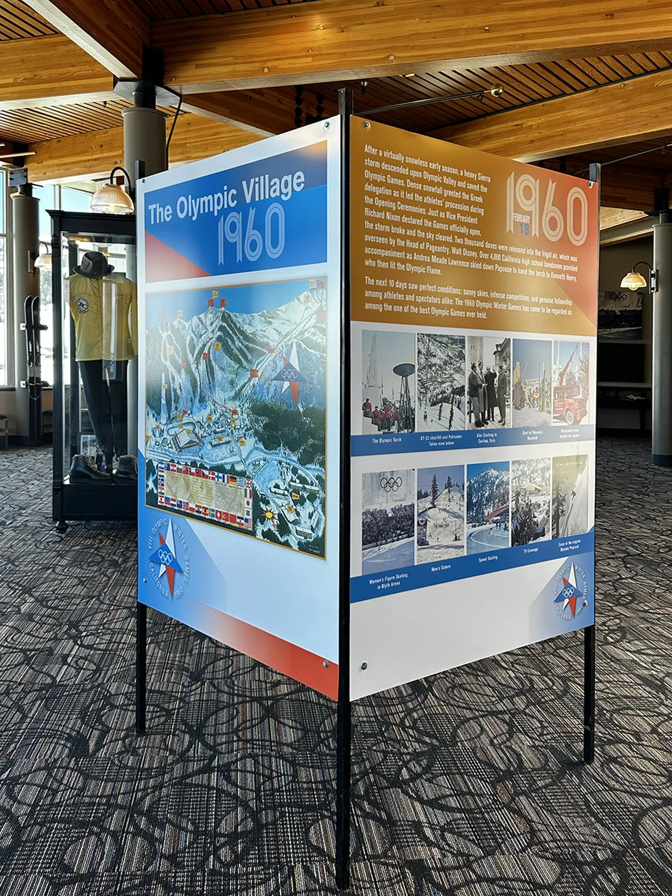
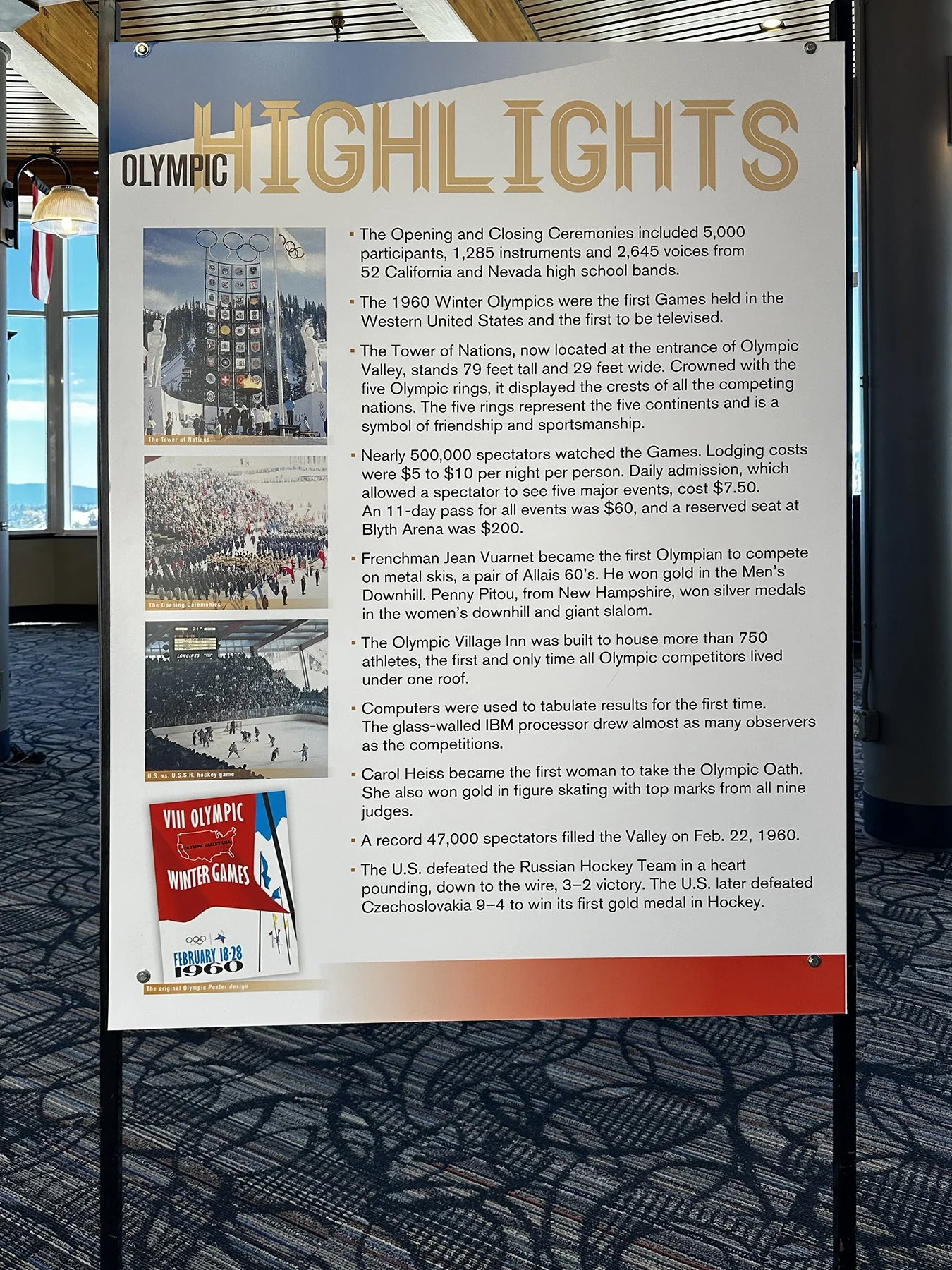
There is a small museum there dedicated to the 1960 Winter Olympics. TBH (to be honest), it didn’t really compare to the Olympic Museum we toured last summer in Park City, Utah, but it was actually quite cute and informative. Those 1960 Games were the first-ever live-televised Winter Olympics, and its airing helped to fuel an enormous nation-wide interest in winter sports that didn’t exist prior to then. It also was the first (and probably last) Olympics where ALL the athletes competing lived and ate under the same roof.
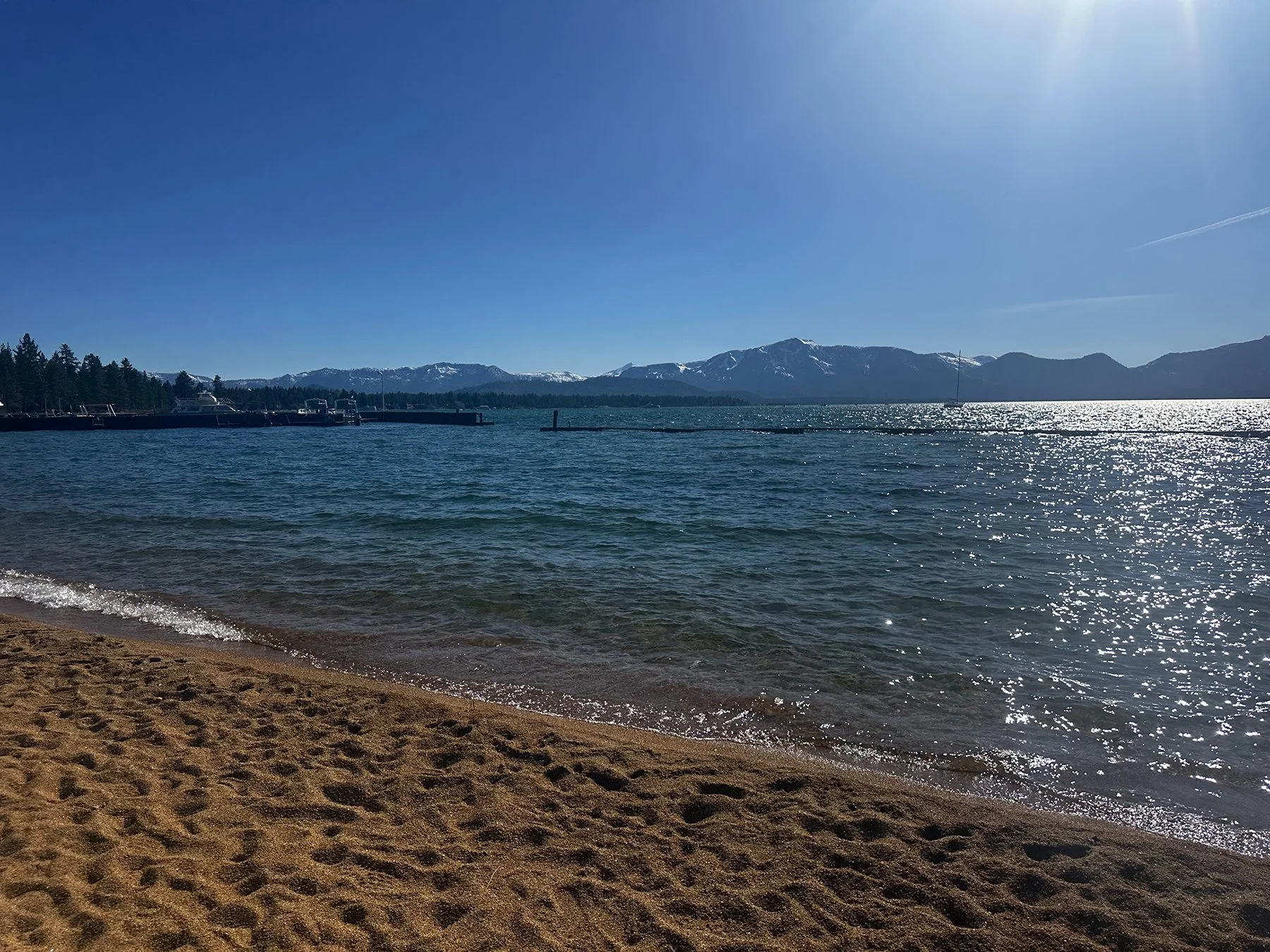
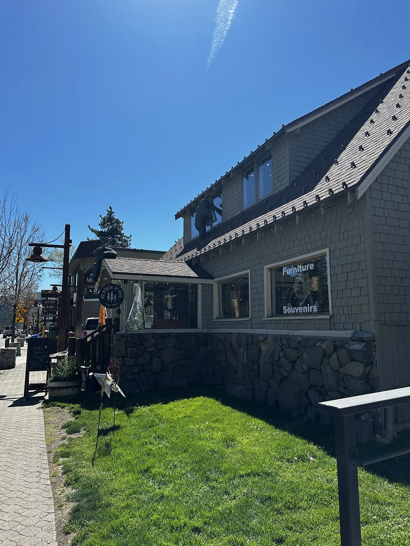
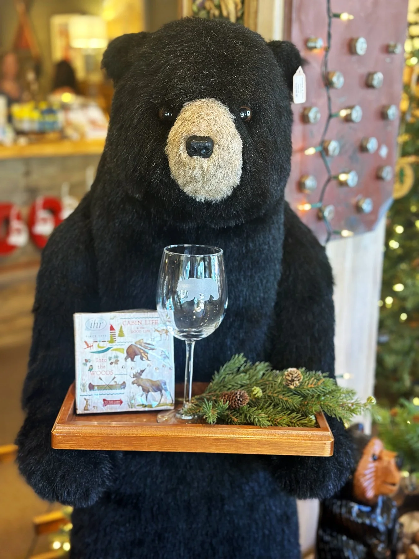
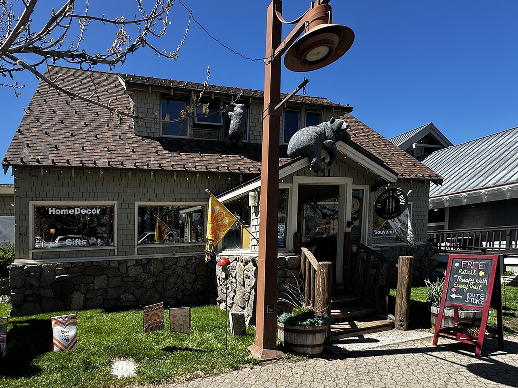
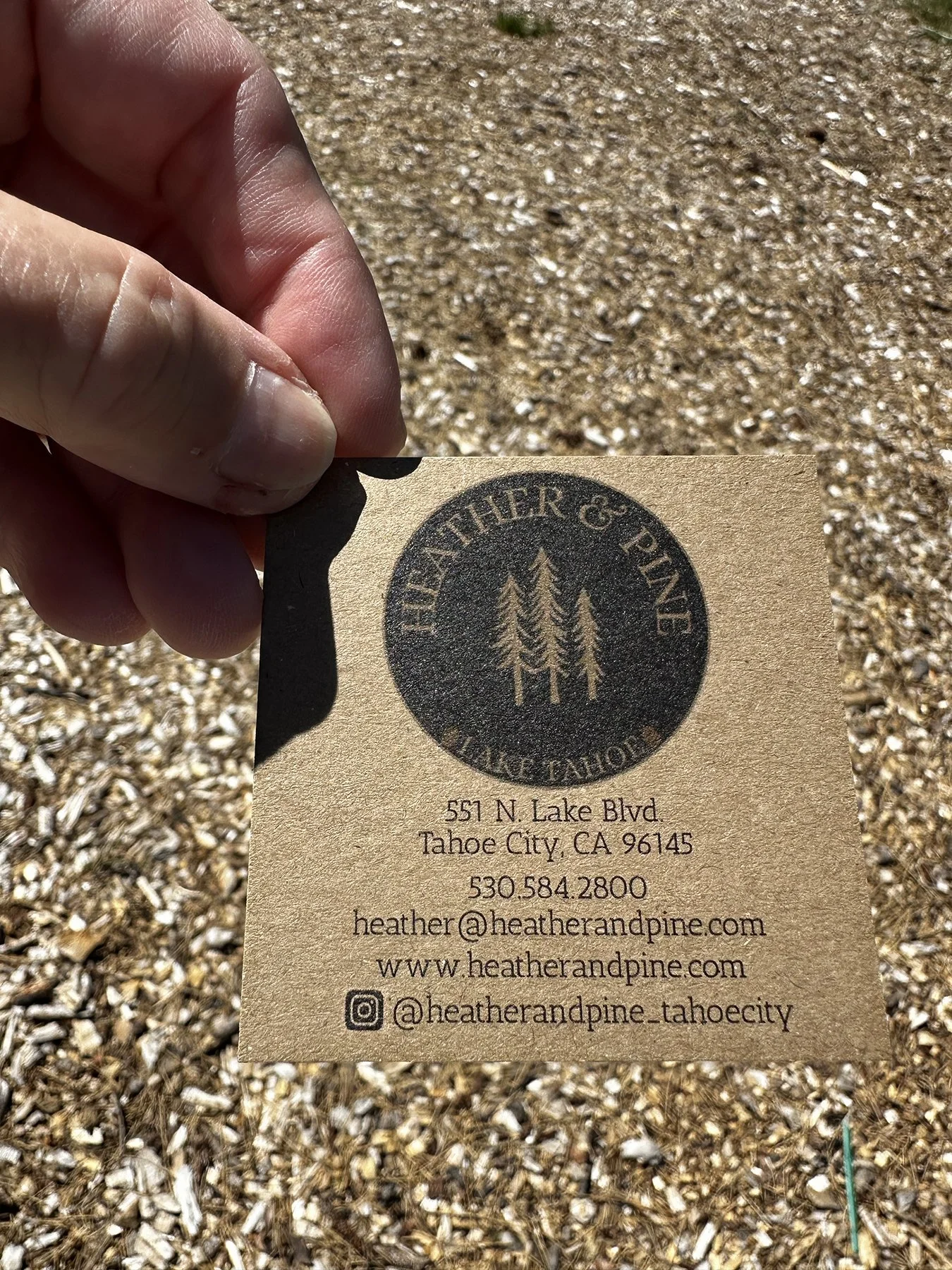
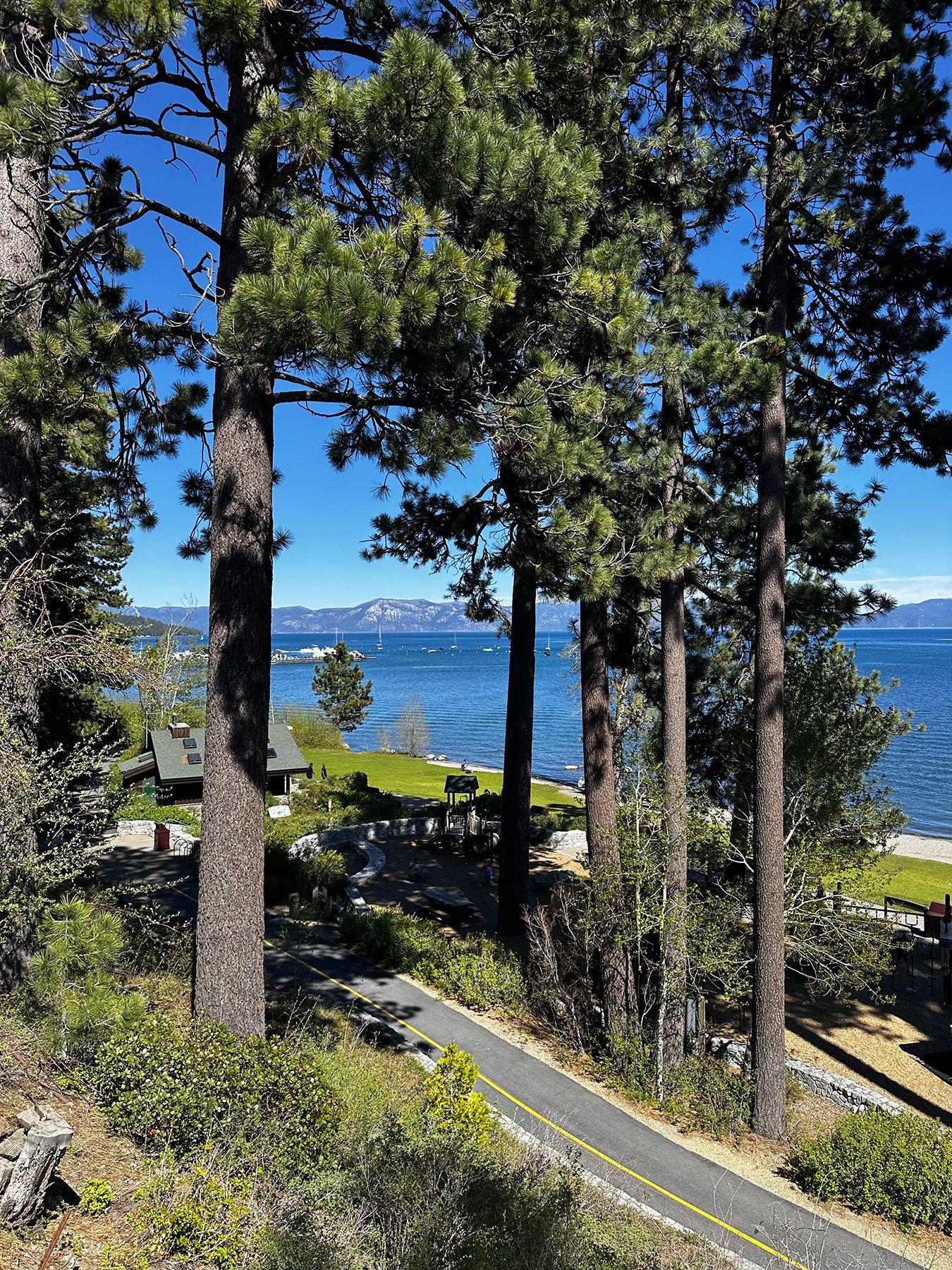
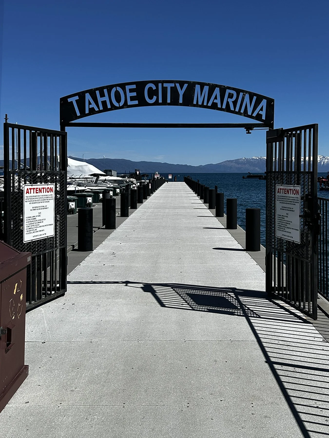
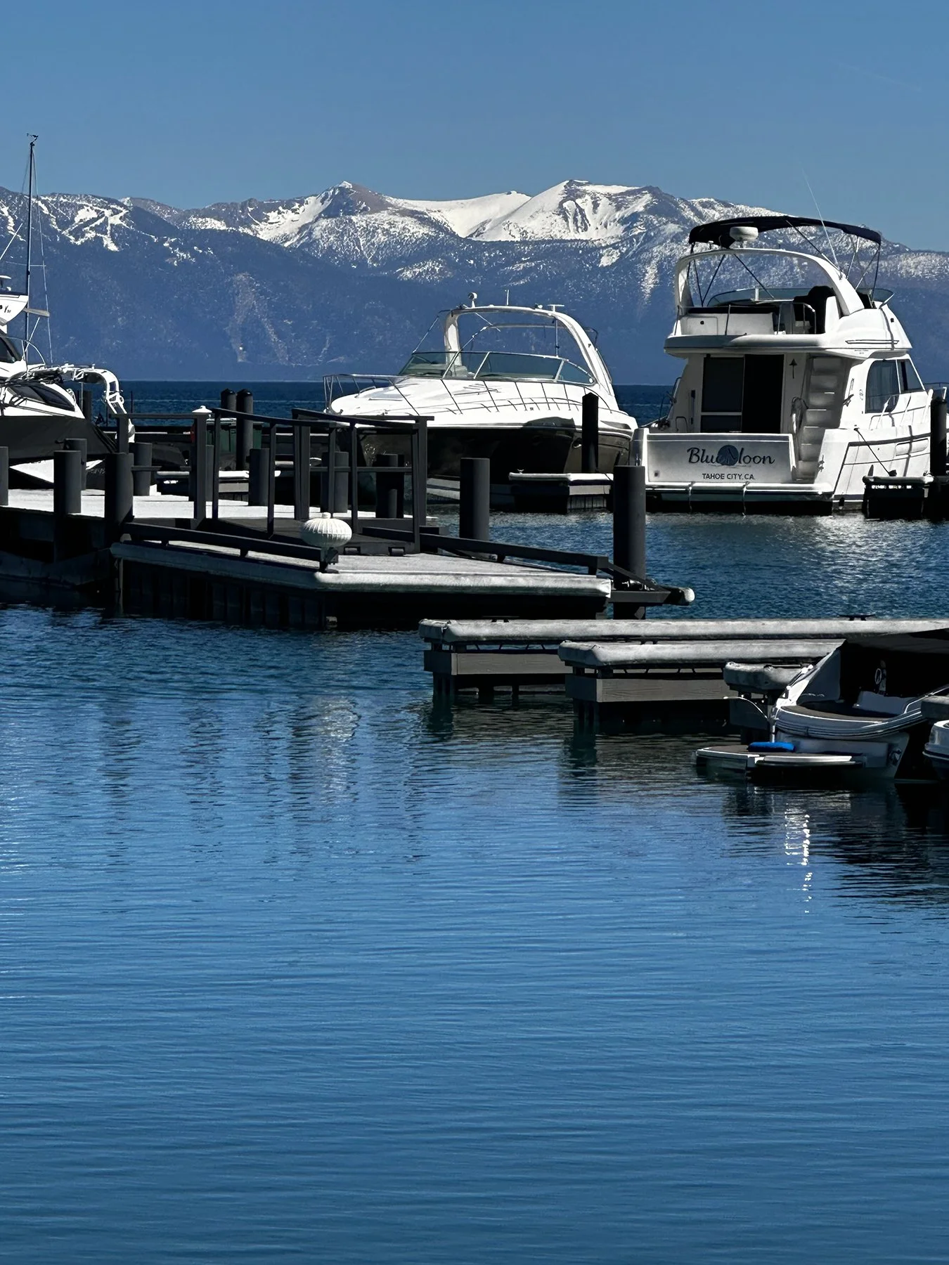
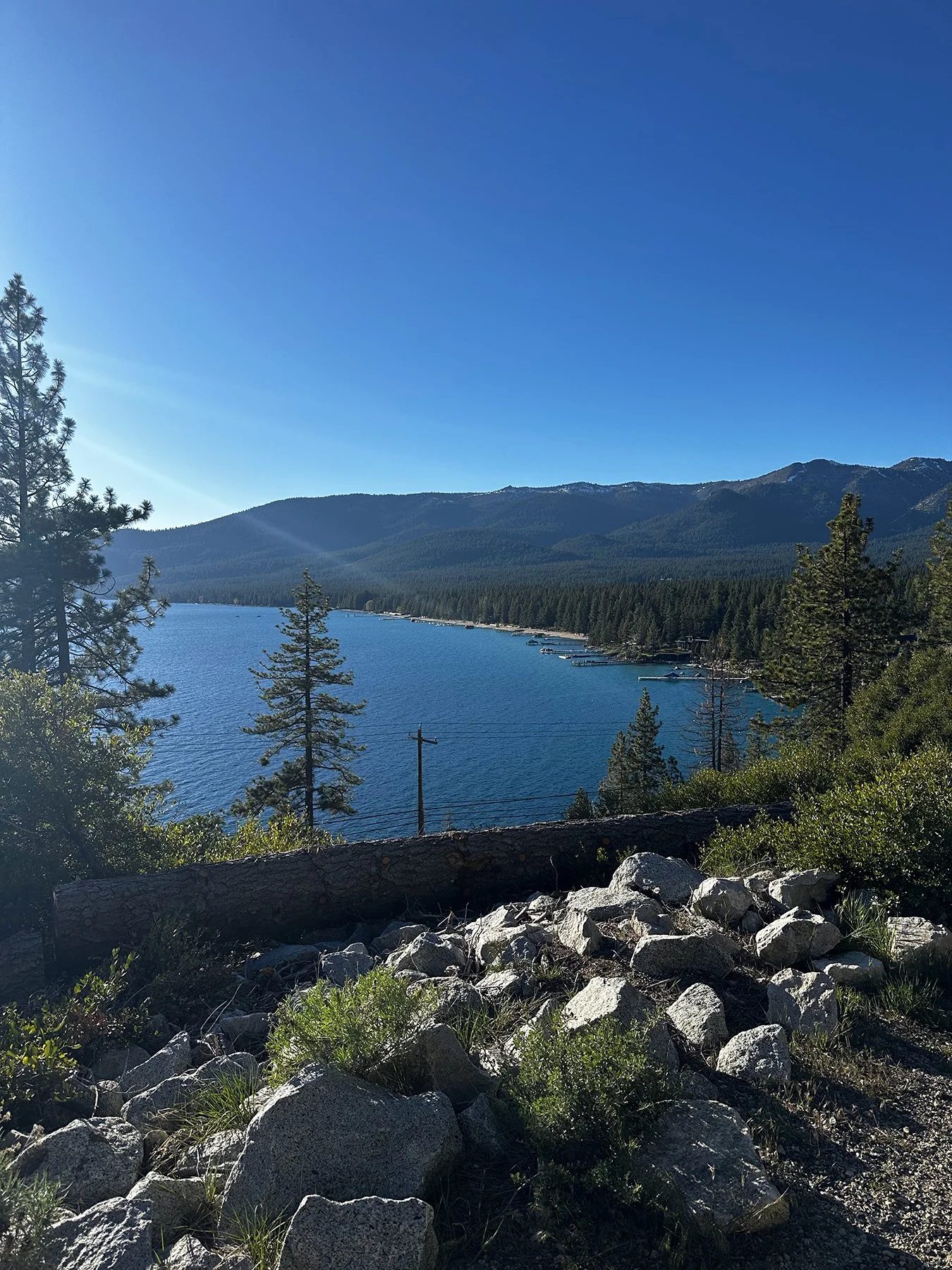
We headed to the North Shore of Lake Tahoe next, to a town called Tahoe City, with shops, restaurants and hotels, and a beautiful public park that spans the whole shoreline. It’s smaller than I anticipated and had a real home-town feel. The people there were so friendly, and everyone seemed healthy and engaged in life. We fell in love with a shop called Heather and Pine, “nature-inspired home decor in the heart of Tahoe City,” where I truly could see myself someday working (mostly for fun) and living, at least for a while. Had a nice long chat with the owner (Heather), and when I asked what the winters were like, she told me how they had 30 feet of snow at their west shore home a couple of years ago. 30 FEET! I said, “sign me up!” I mean, why not, right? Now … does anyone have a home they need someone like me to house sit?!!
@heatherandpine_tahoecity
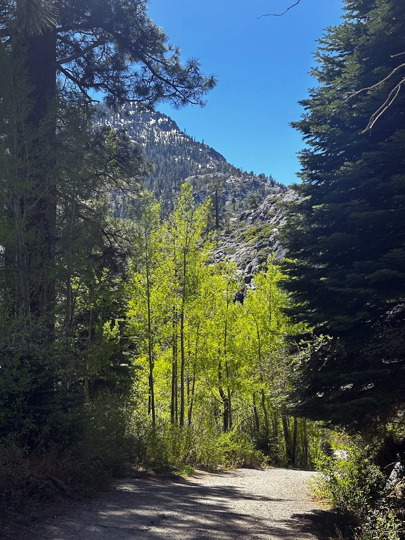
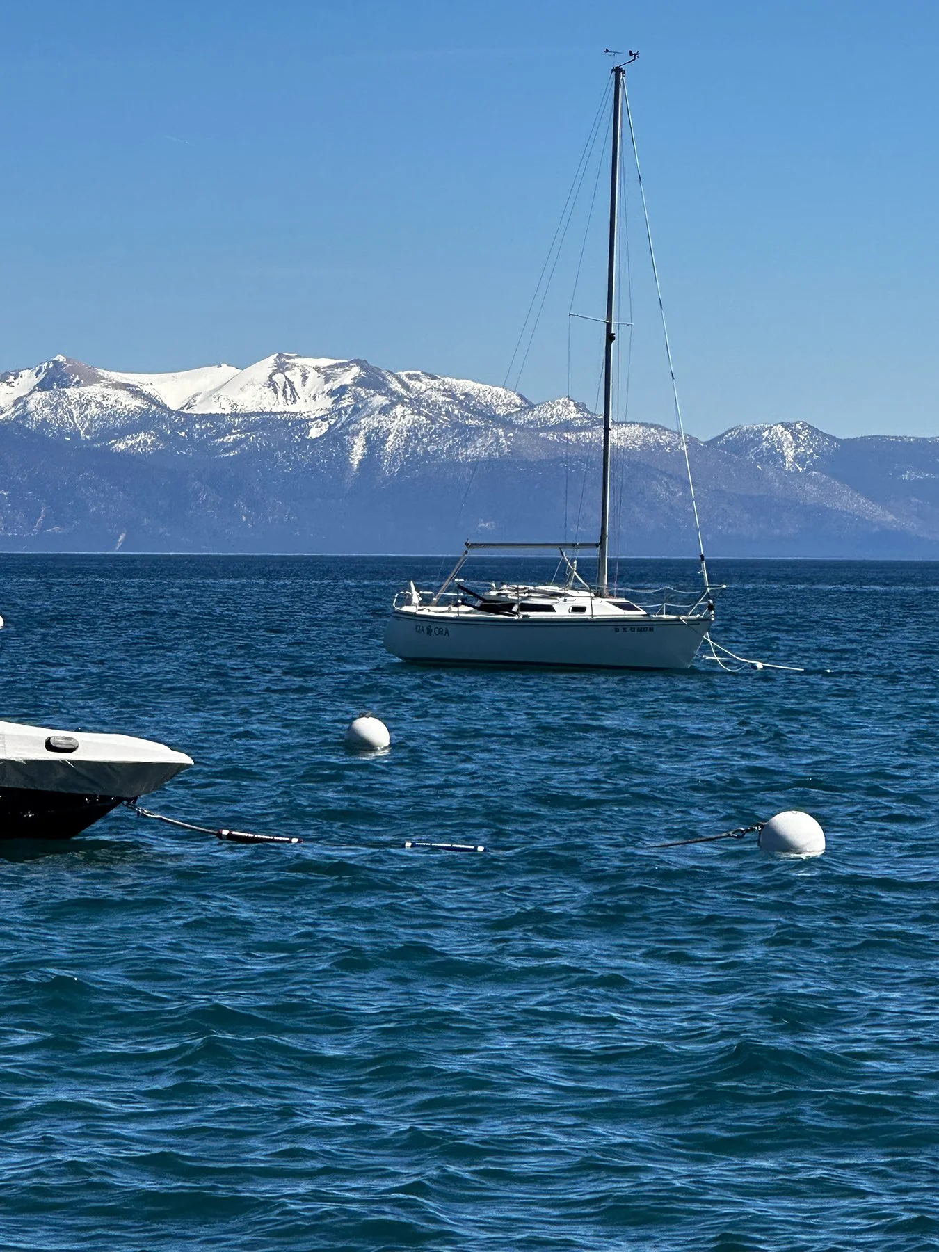
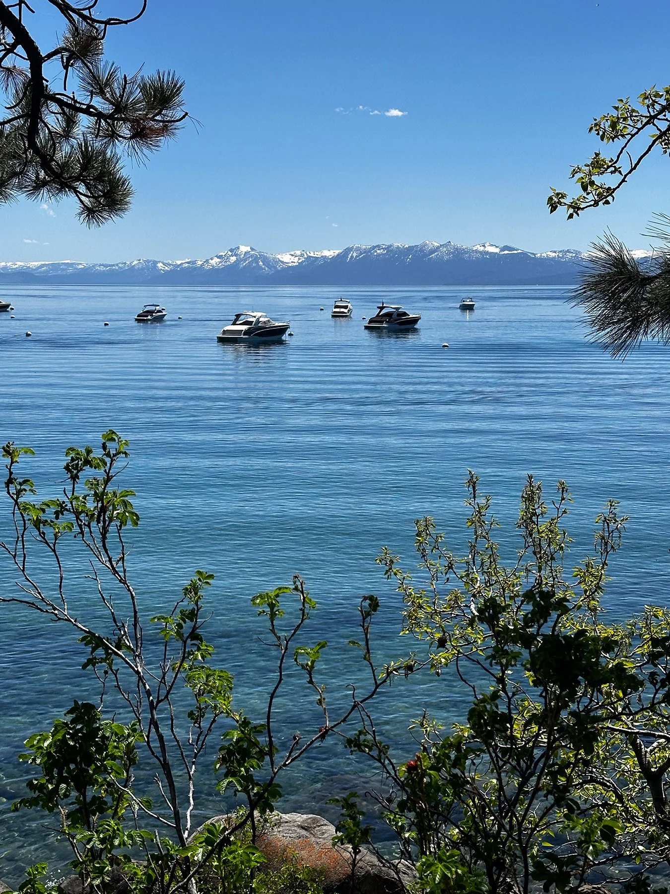
Heather suggested we check out one of the trails along the western edge of the lake, so we headed over to Tunnel Creek Trail after strolling along various beaches, marinas, and turnouts along the way. I mean, the views!!! Sailboats, paddle-boarders, picnics on the beach … all with snow-capped mountains in the background. Just fabulous.
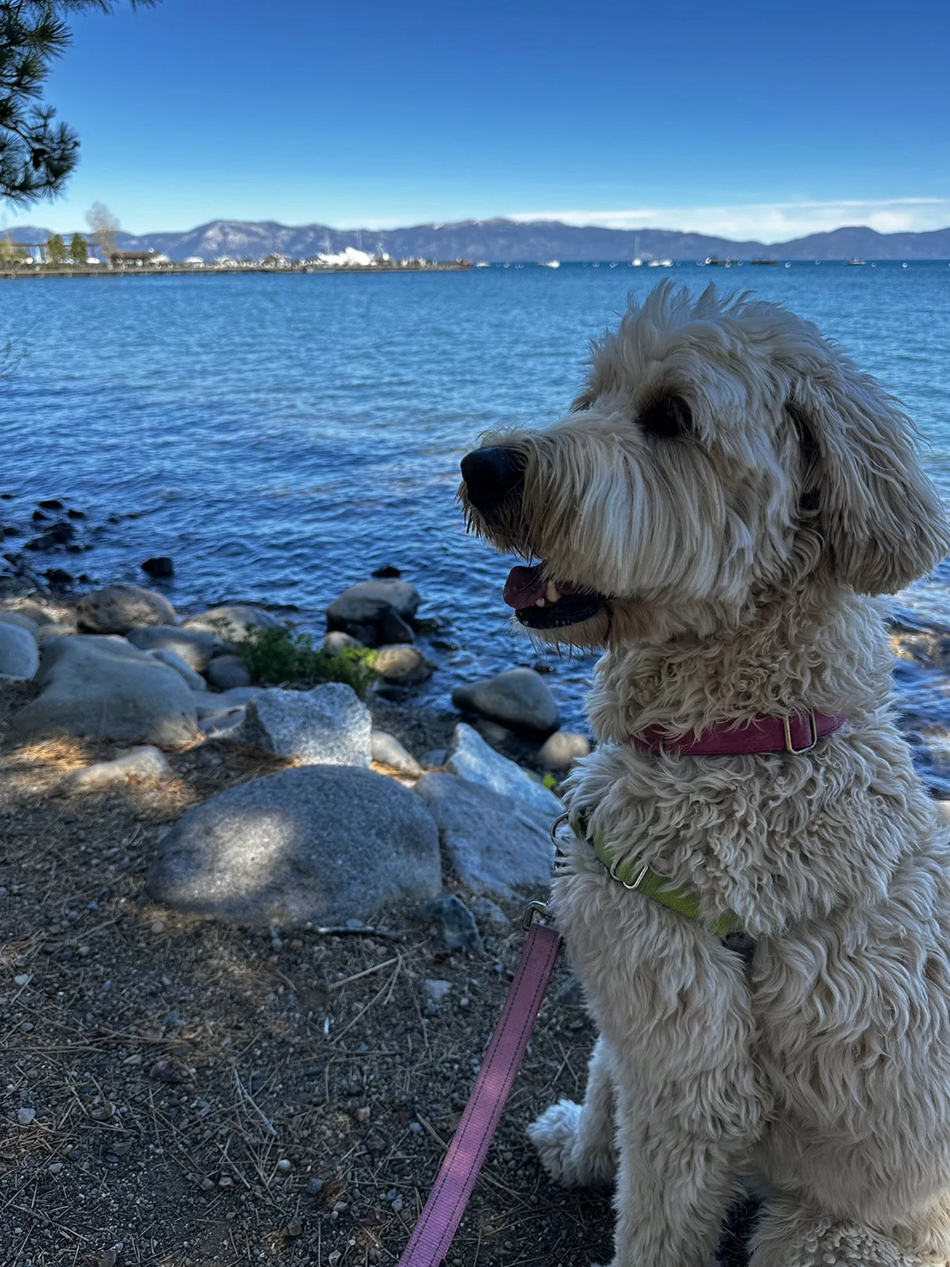
The trail was just perfect; it followed the coastline for a few miles; Maisie and I did a little over a mile before stopping at a place called Hidden Beach. If you know me, you know I spent my career at UT Athletics, and am still a massive follower of all our sports programs. I particularly enjoy following our softball team along with my sister Sarah and BIL Tony, who are huge fans. On this day, they were playing in the SEC Tournament, so I was hoping I could find a spot to sit and maybe watch it for a bit. What were the chances of having a signal strong enough to stream it live at Hidden Beach? Not great. But lo-and-behold, it worked! Winner, winner, chicken dinner! There was even another dog there that Maisie finally warmed up to and played with in the surf. Ahhhh … life is good :D.
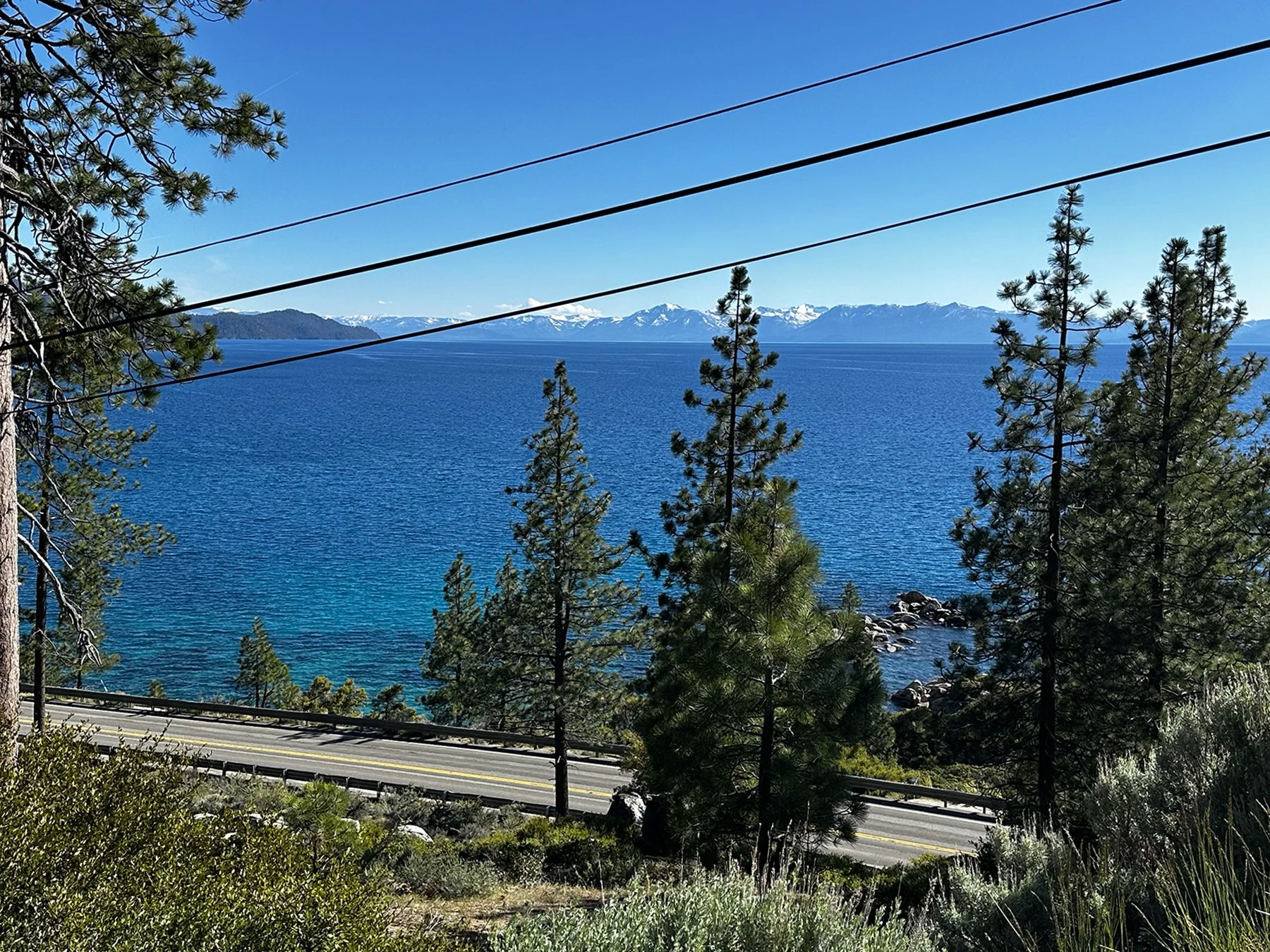
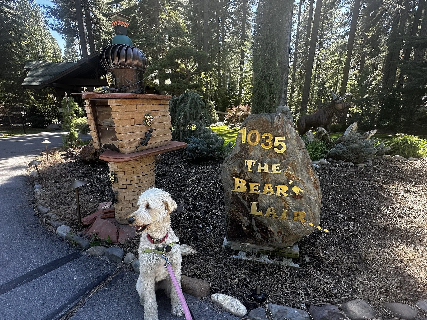
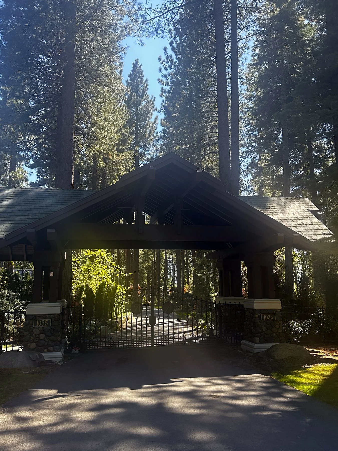
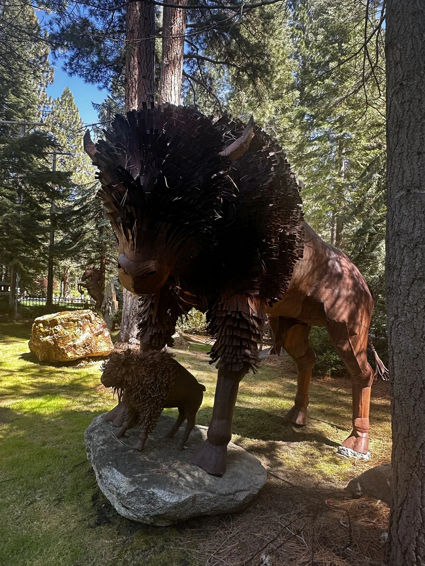
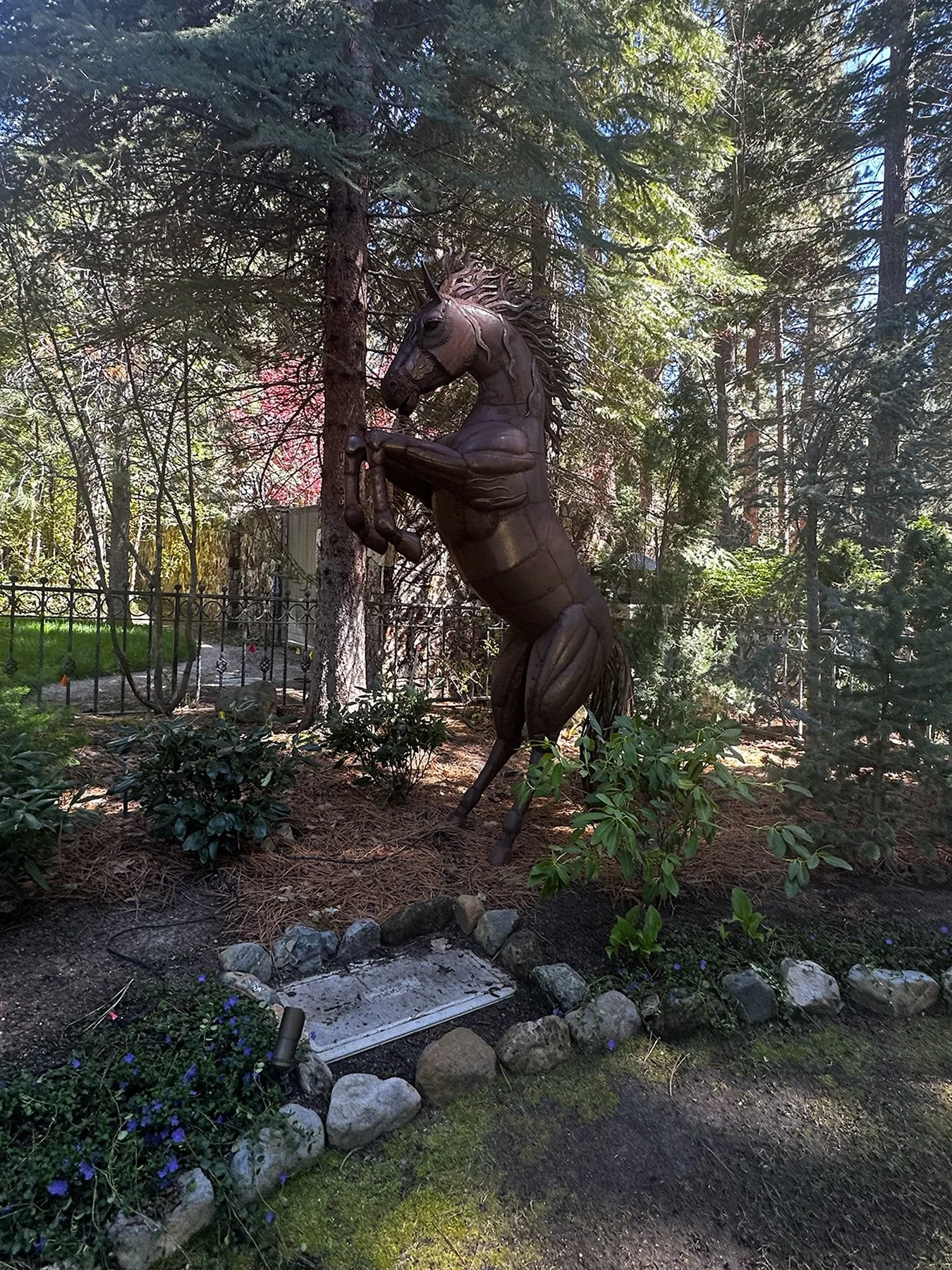
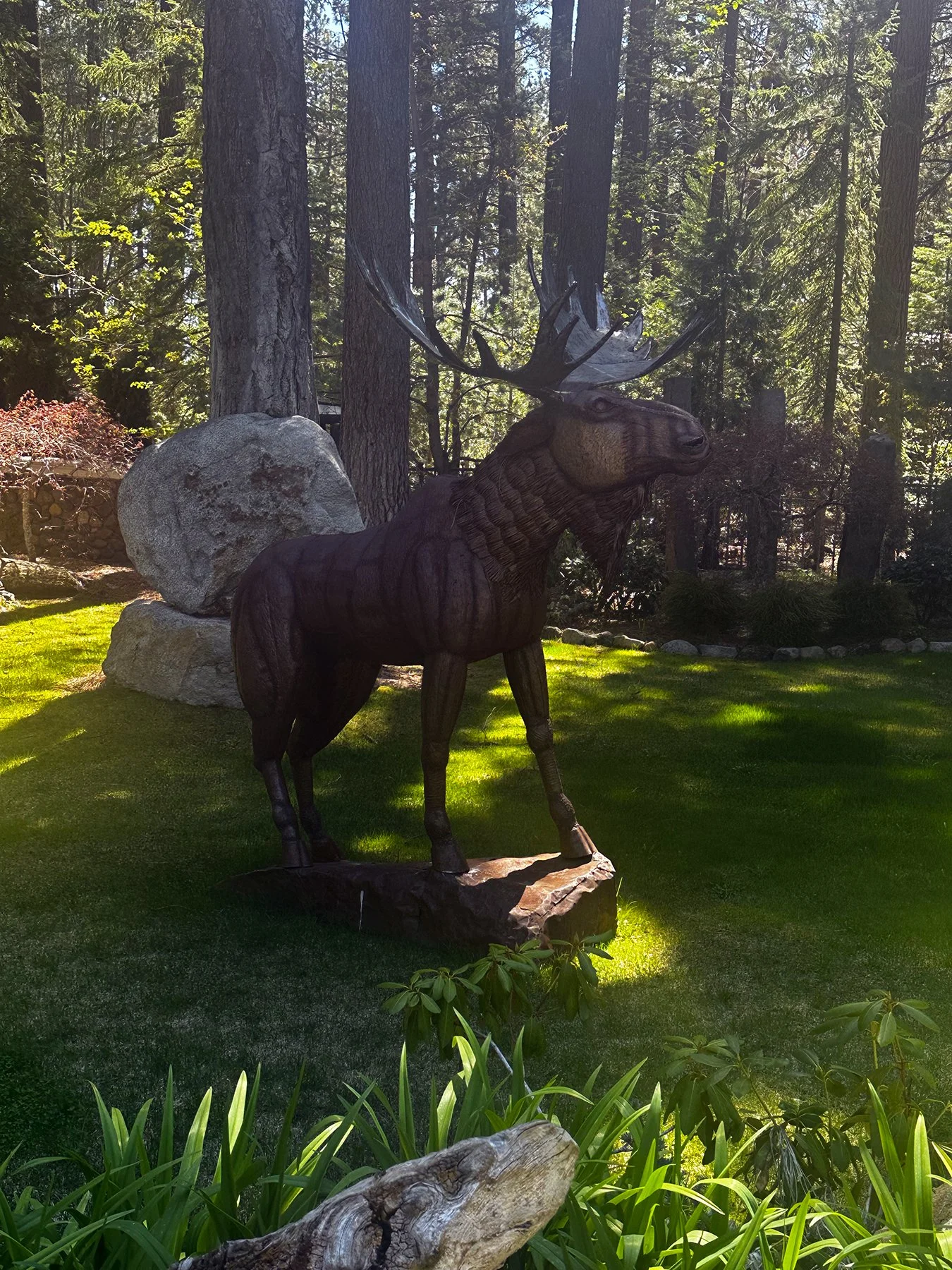
I had one more full day in Tahoe and decided to head back to the east shore, most of which is in Nevada. More beautiful beaches and amazing scenic views were waiting for us. The drive down the edge of the lake is full of amazing views of the lake and snow-capped mountains on the other side. Then we heard about “Billionaire’s Row”—not an official name, of course, so figured, “Why not?” There’s a wonderful hike and bike trail through an area of Incline Village where spectacular homes face the lake. Most were behind 8-foot stone walls or iron fences, of course, these lavish estates not to be viewed by mere commoners. This one estate, called “The Bear’s Lair”, had enormous statues of bison, moose and horses on manicured lawns with beautiful landscaping outside their secured gates. What a hoot.

Before heading out to our next destination, I thought I’d share some fun facts about Lake Tahoe:
1. There are over 39 trillion gallons of water in Lake Tahoe. This volume of water could cover an area the size of California with 14 inches of water.
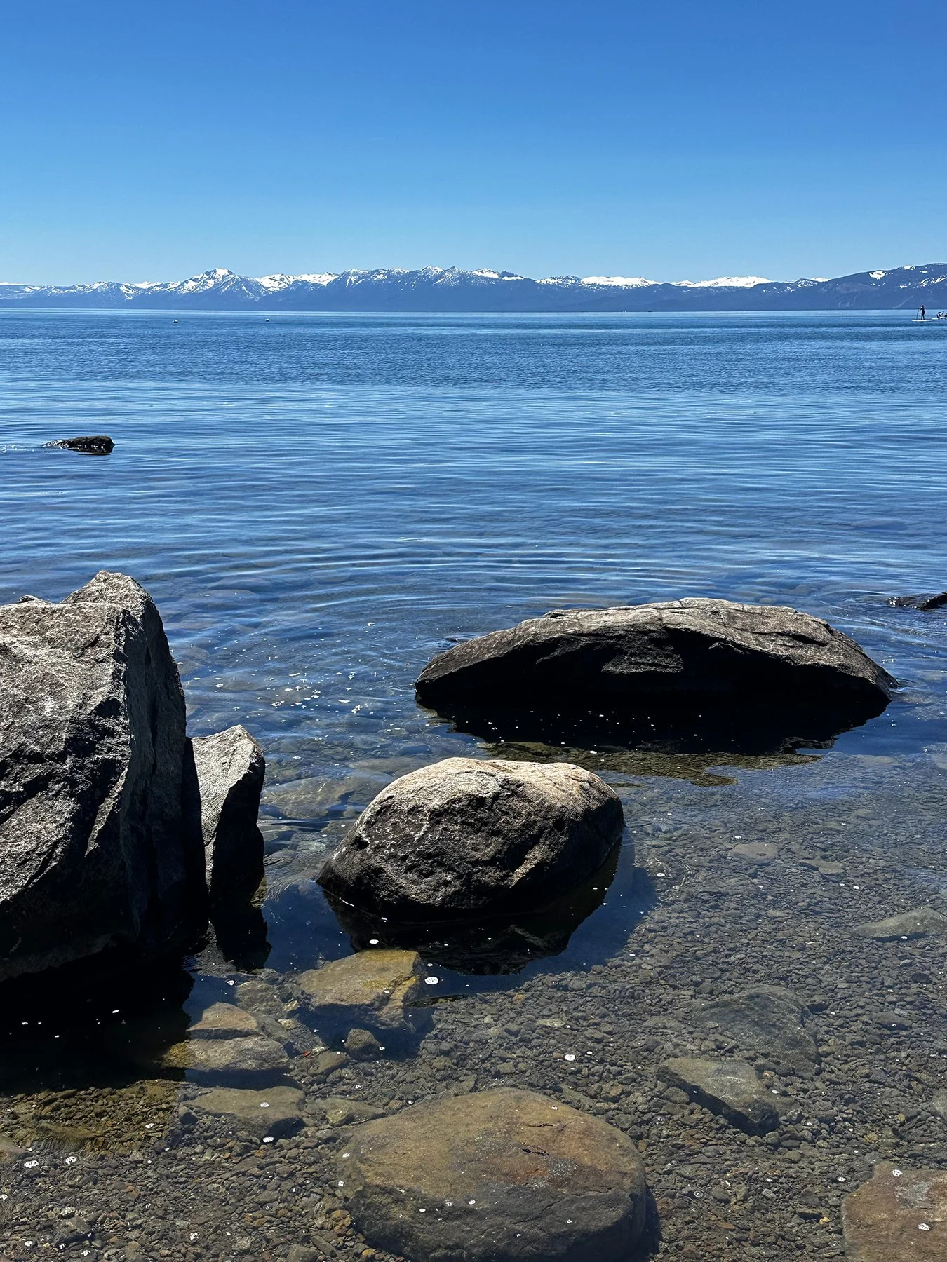
2. Tahoe is so clear that in some places objects can be seen clearly 67 feet below the surface.
3. 63 streams flow into Lake Tahoe. Only one, the Truckee River, flows out into Pyramid Lake. Unlike most bodies of water in North America, the lake’s water never reaches the ocean.
4. The third deepest lake in North America, Lake Tahoe is approximately 1,600 feet deep. The bottom of the lake is actually 95 feet below the elevation of nearby Carson City, Nevada.
All in all, Lake Tahoe is a place I hope to return to time and time again. I can’t wait to see it in the winter!
A Living Postcard
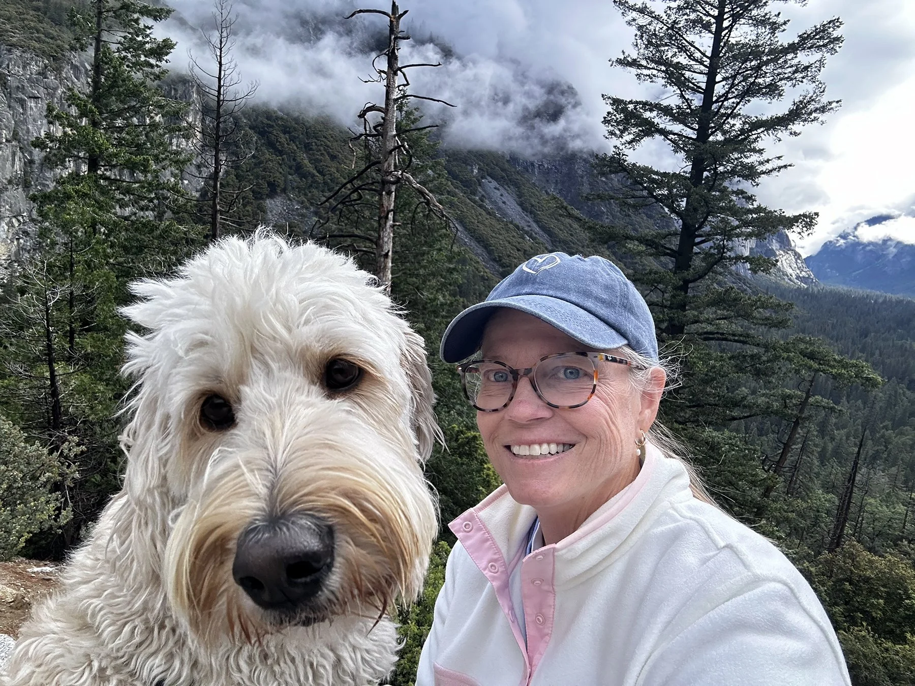
I can hardly breathe. And it’s not from hiking 20 miles over the course of a few days, either! It’s the unimaginable beauty that is Yosemite National Park. Last year, I was blown away by the sheer majesty of the Grand Canyon. And then again by the breathtaking scenery that was Yellowstone. This is the 20th National Park I’ve had the privilege to visit over the last 10 months, and I must say that in terms of astonishing beauty, I’ve either died and gone to heaven, or am merely steeped in a living, breathing painting.
Each of the parks have their own unique beauty, to be sure. But the mix of giant granite with alpine forests; the high-altitude runoff of the Sierra Snowpack into the most amazing, powerful waterfalls; the green meadows and clear rivers, makes Yosemite just so raw and beautiful.
The size and amount of the exposed sheets of granite are not like any other place on the planet. The glacial pools of water are pure and clear and each one you discover seems like it may be the prettiest you have ever seen. The feeling of standing beneath El Capitán or Half Dome and looking up are just unmatched. Anywhere. Photos cannot accurately represent how enormous everything is at all; you may just have to use your imagination.
It's just so darn awe-inspiring. I felt so connected to God and to nature, more than ever before, I think. I invite you to open each picture below, and just pause. Take in the scene. I’m no professional, and the photos were taken with just my iPhone, but if you can imagine actually being there, I’m quite sure this magical place might make it to the top of your bucket list.
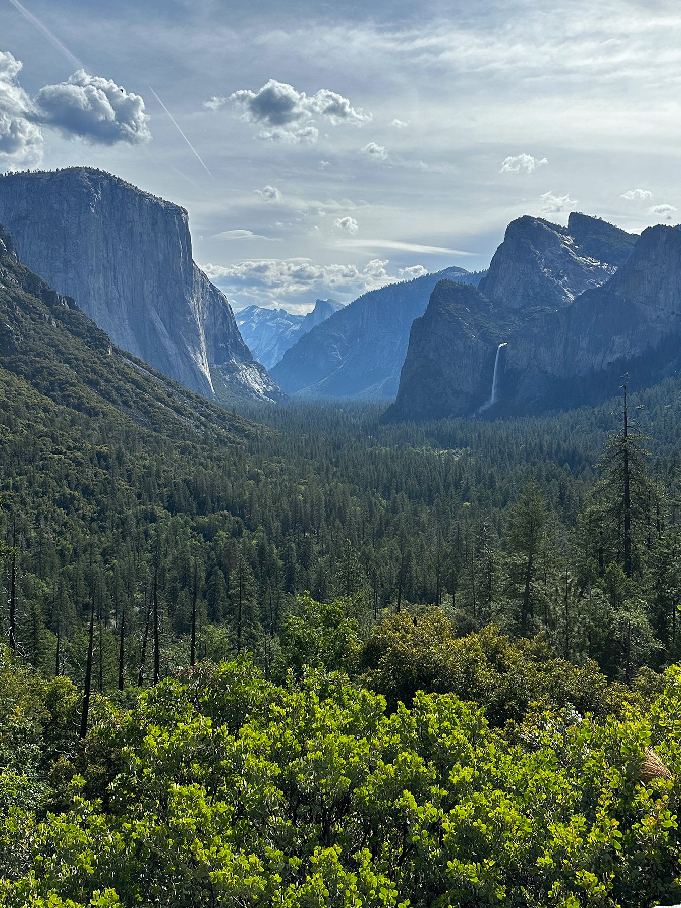
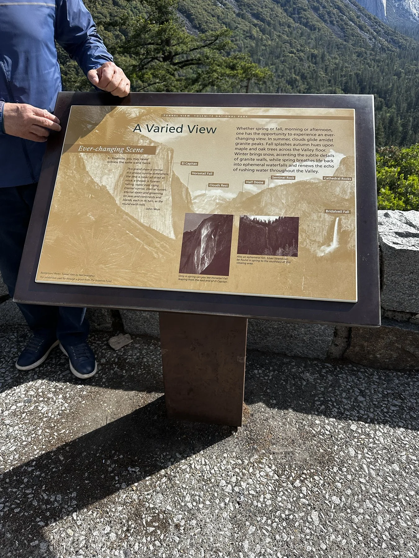
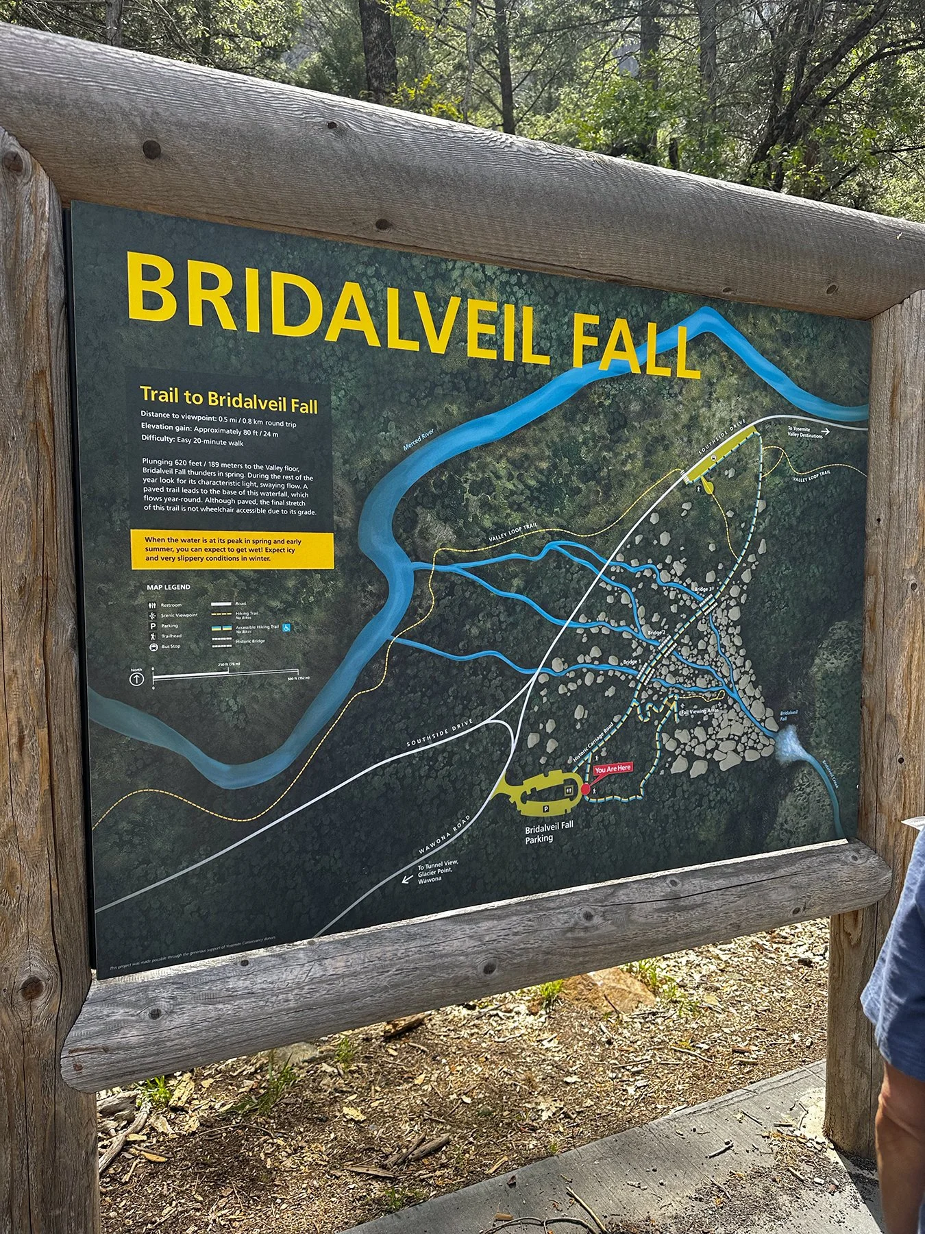
Let’s start off with Tunnel View. It’s the first real glimpse of the majesty of the place, and it comes at the end of a long tunnel, cut through the mountain. Within this most iconic view you can see El Capitán, Horsetail Fall, Clouds Rest, Half Dome, Sentinel Rock, Cathedral Rocks, and Bridalveil Fall. I’ve left a picture of the sign so you can see what’s where. The pics below are from two separate days; the second time I went was super cold and foggy. The clouds were so very dramatic!
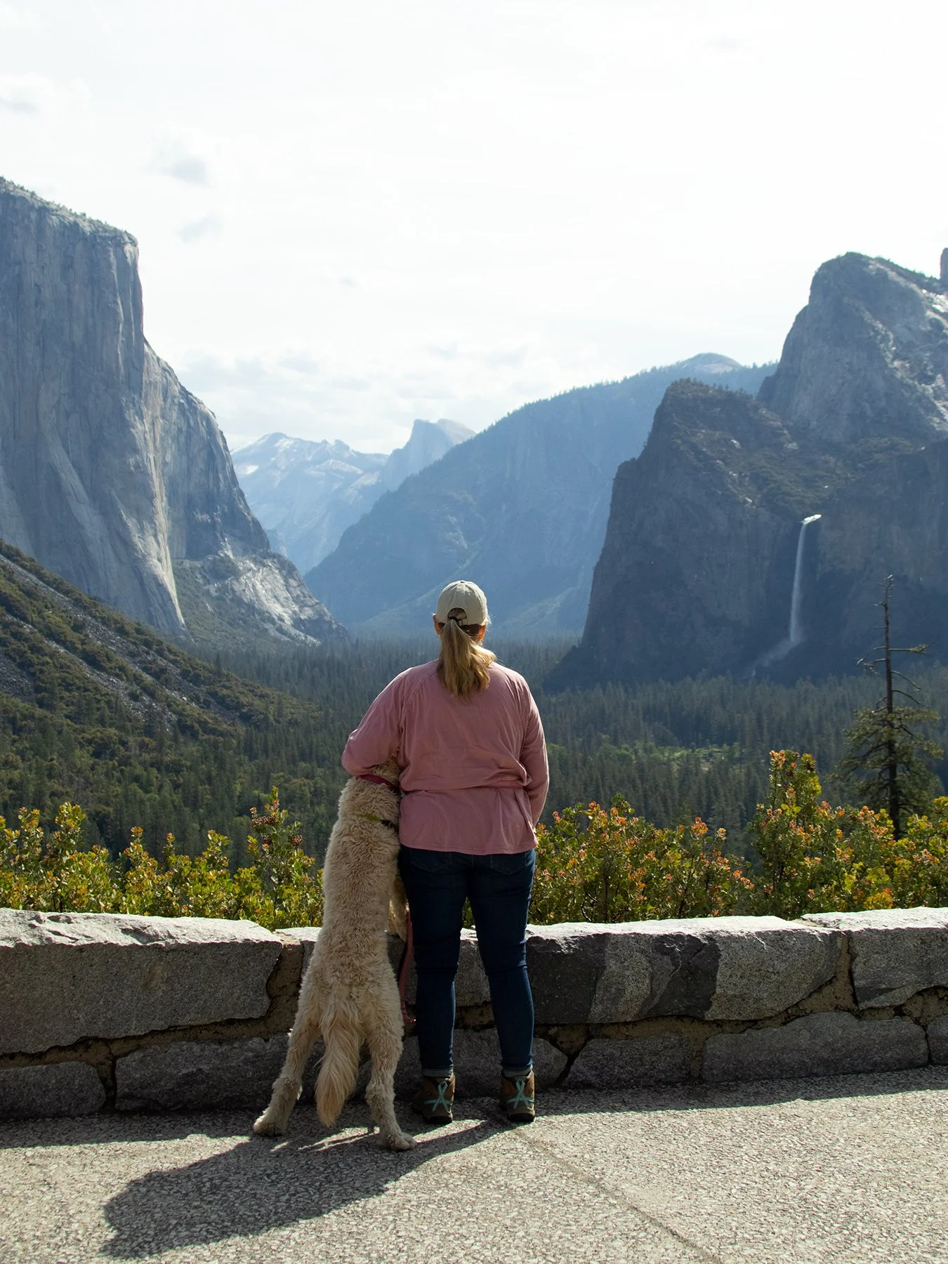
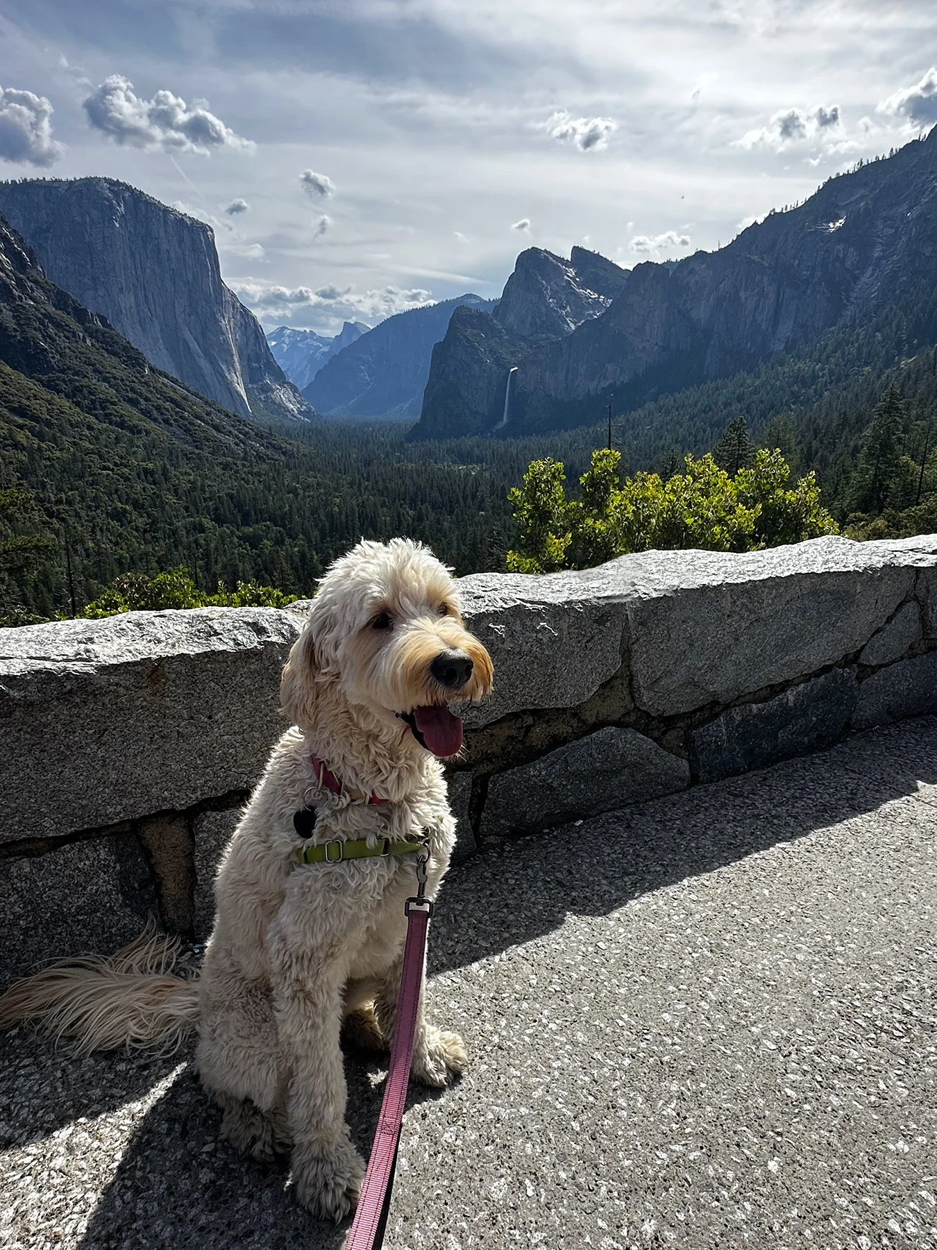
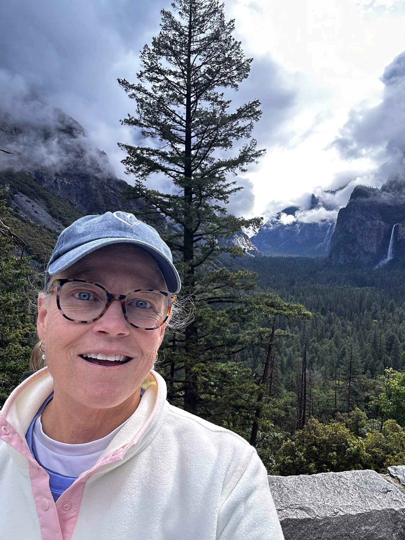
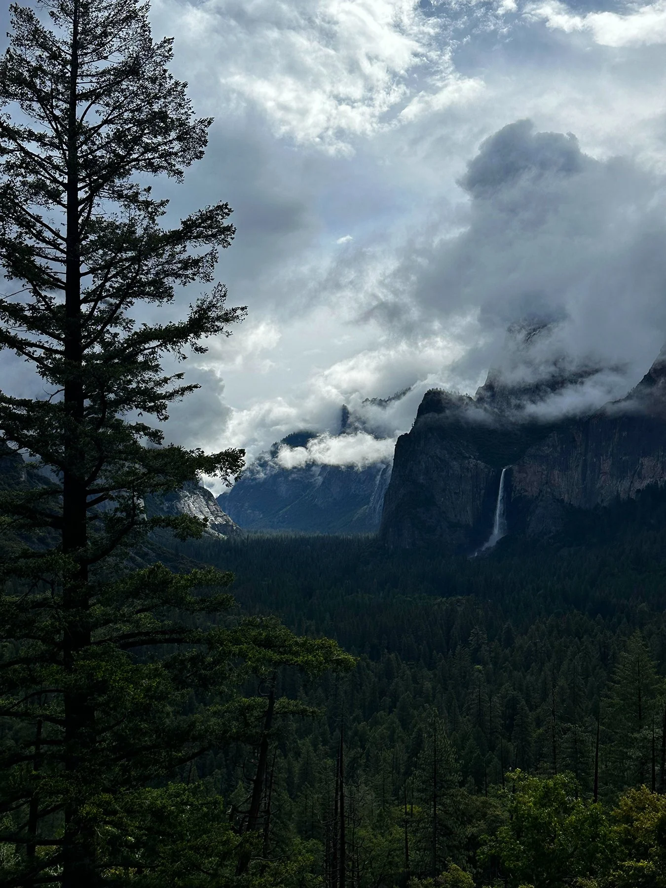
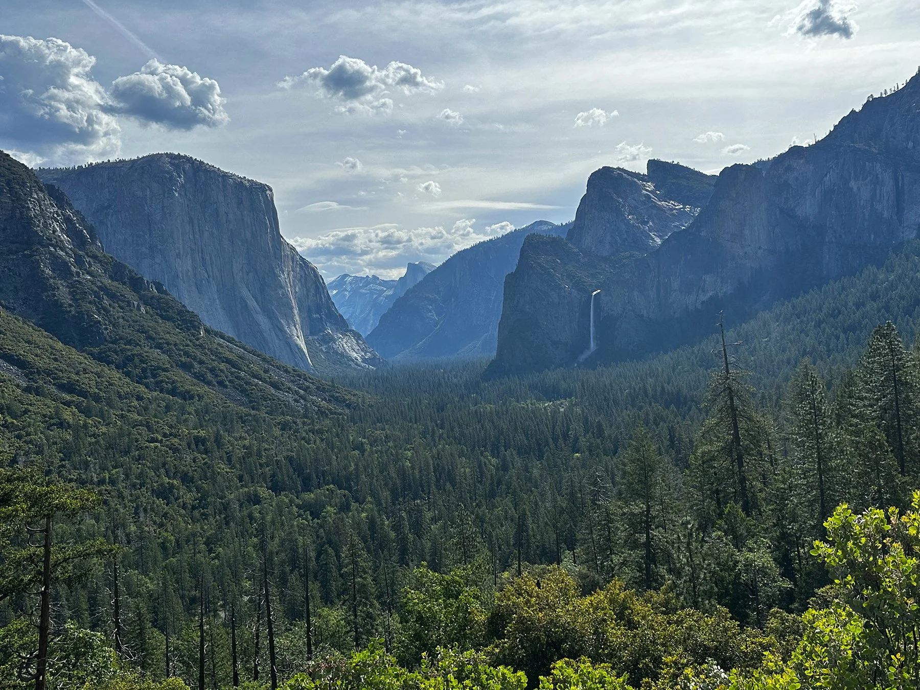
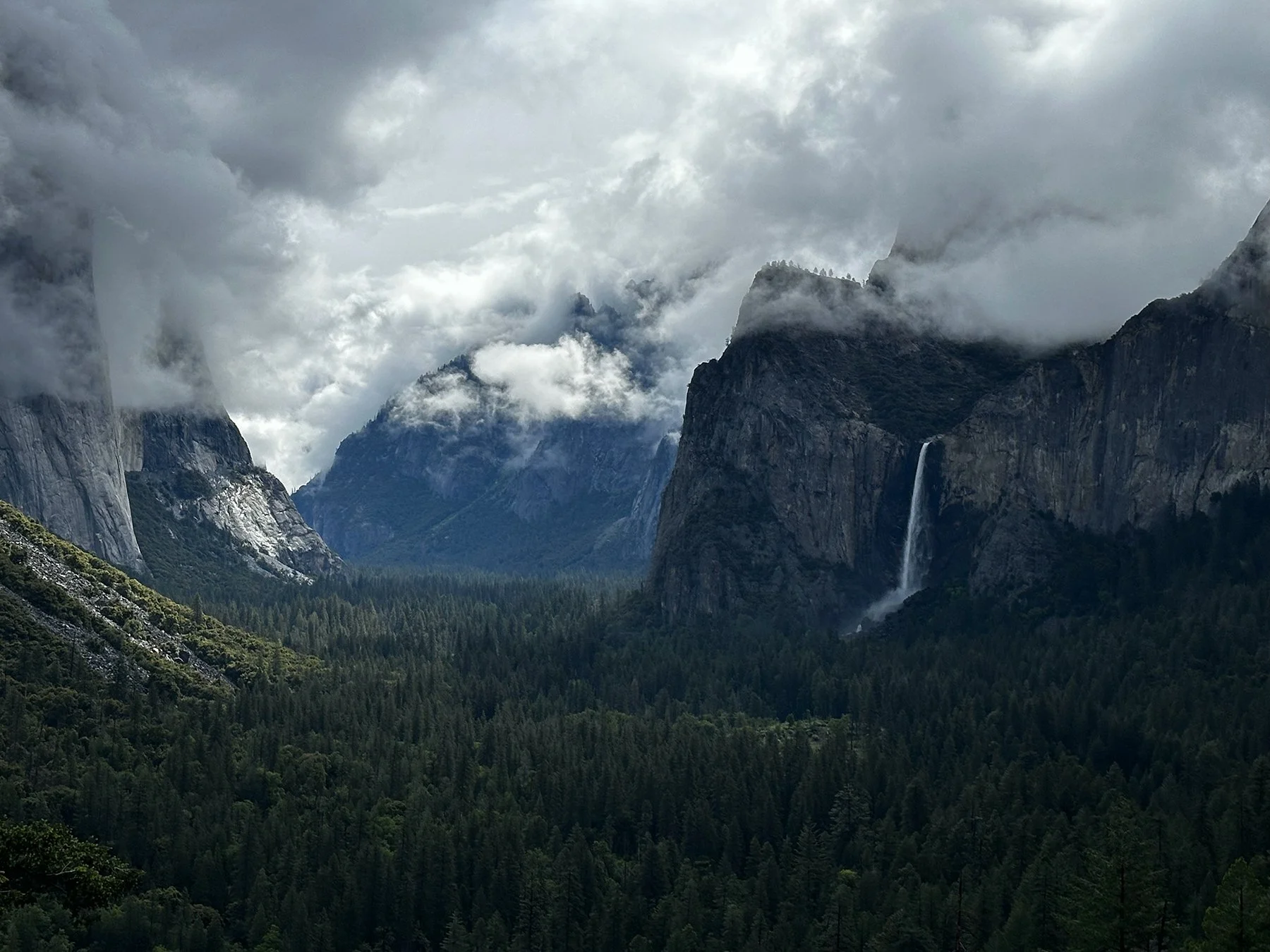
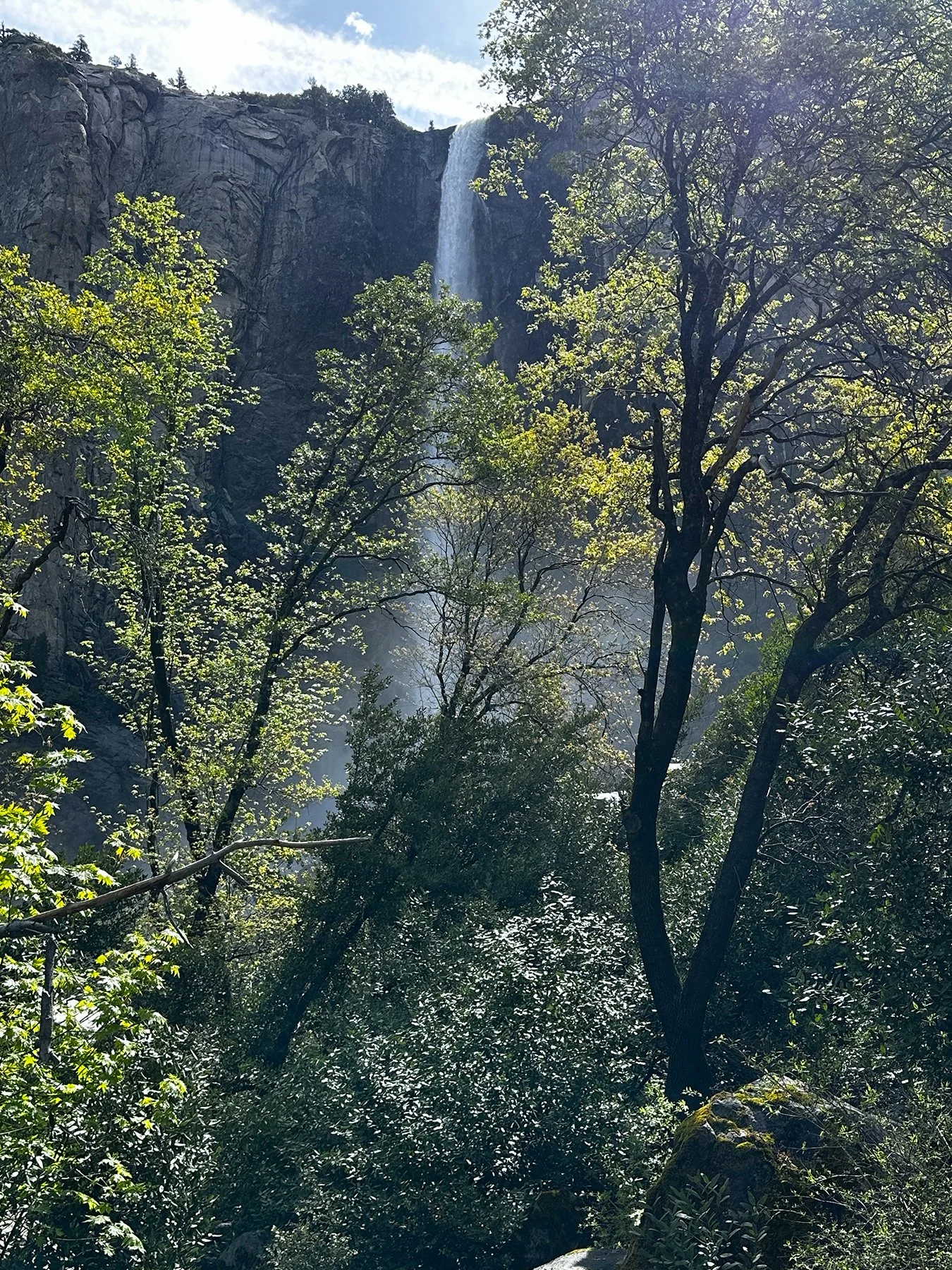
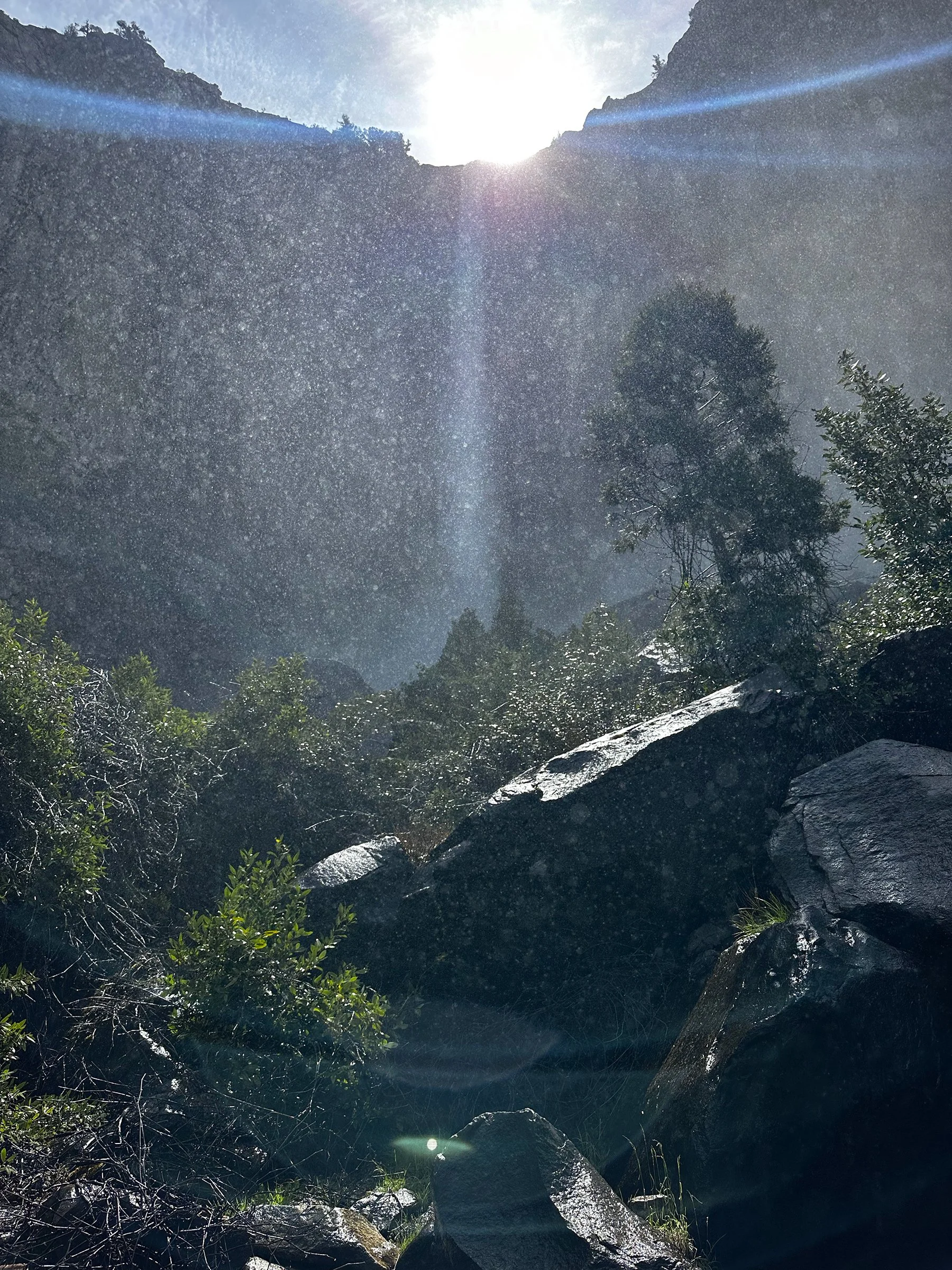
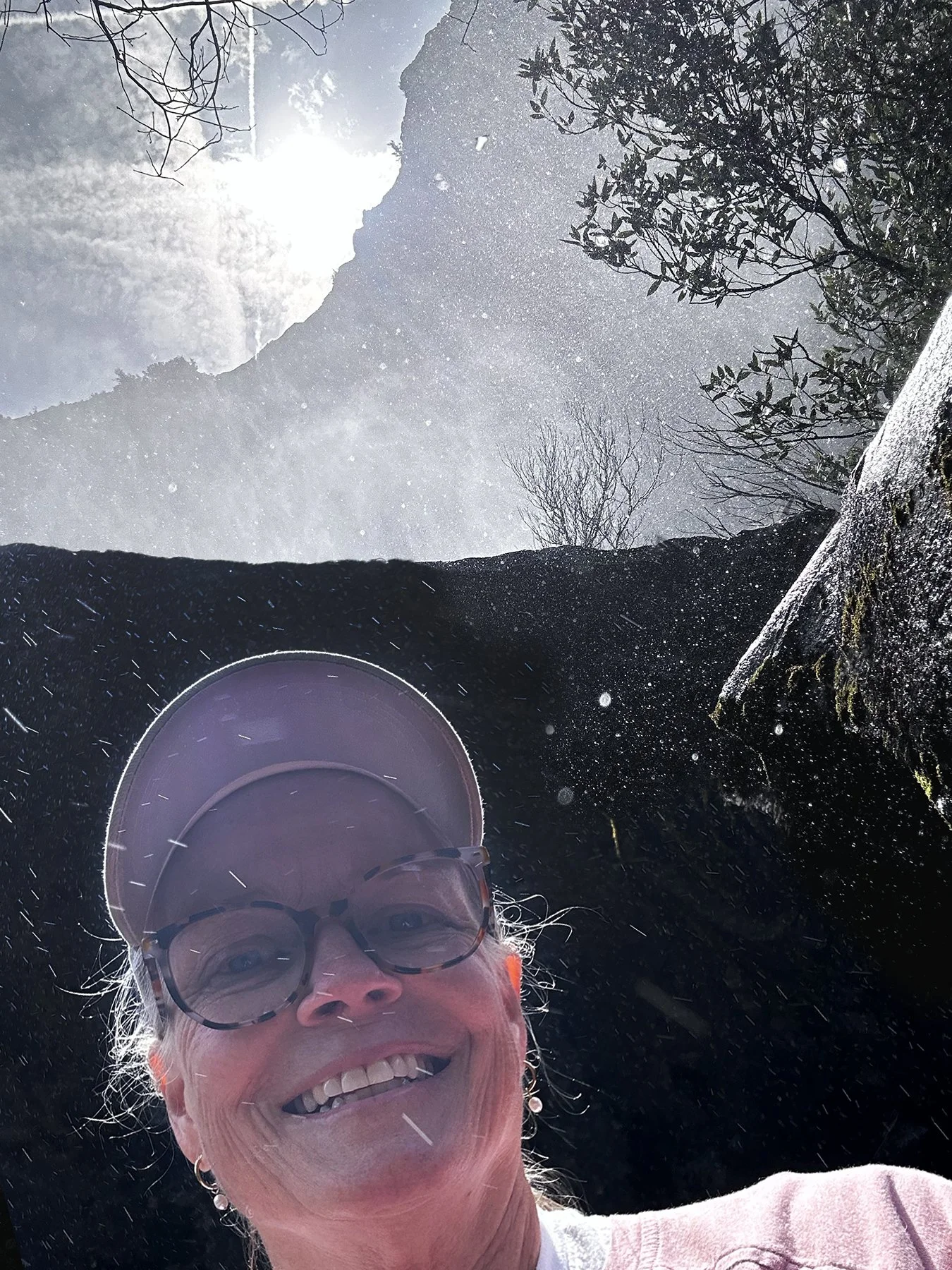
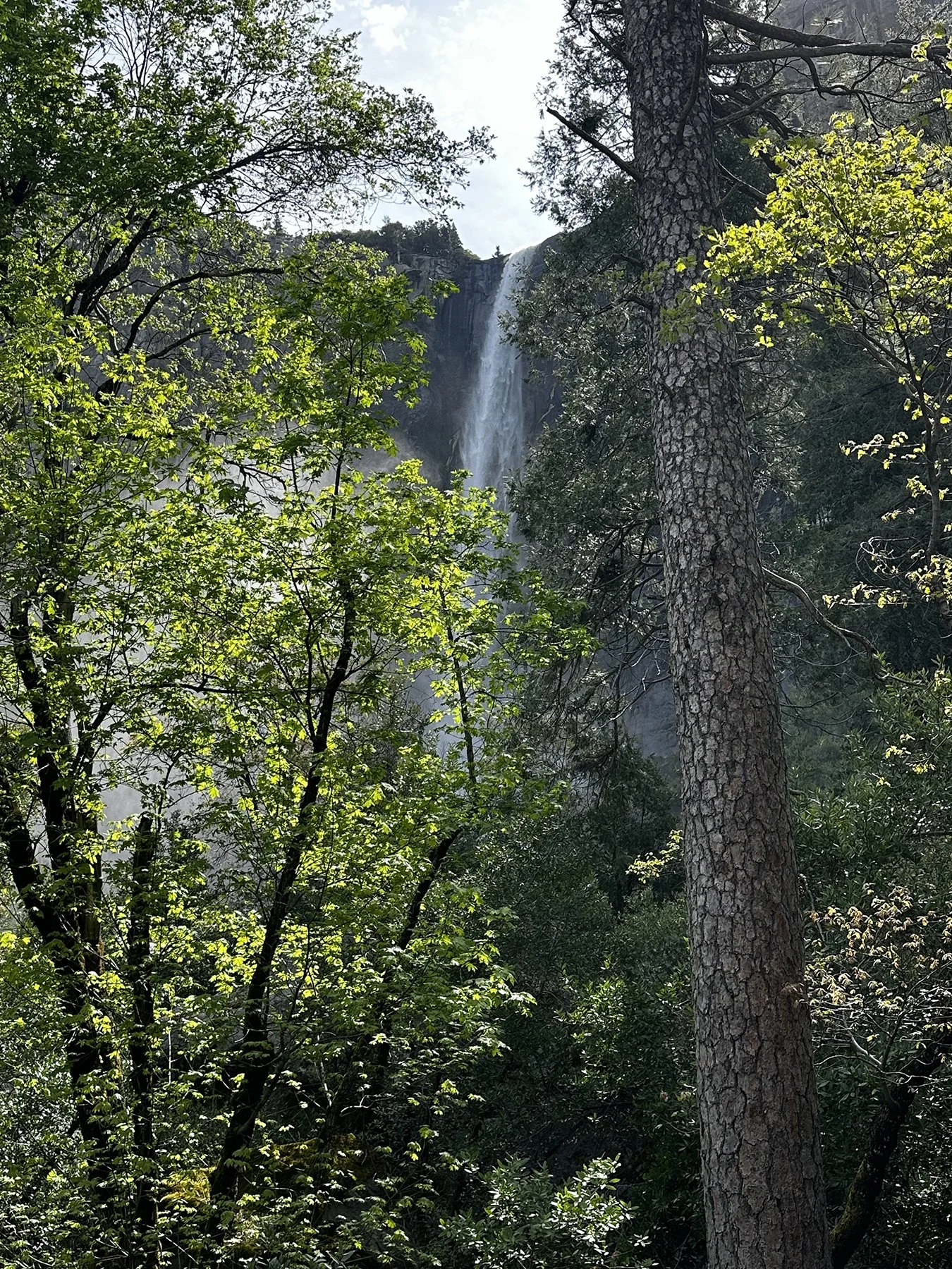
The first waterfall we came upon was Bridalveil Fall. The Ahwahneechee tribe called it Pohono, meaning “spirit of the puffing wind.” Makes sense to me! Plunging from 620 feet above, it lives up to its name with delicate mist that often forms rainbows. Pictures were a bit of a challenge due to the spraying mist, but I like how funky some of them are. :D
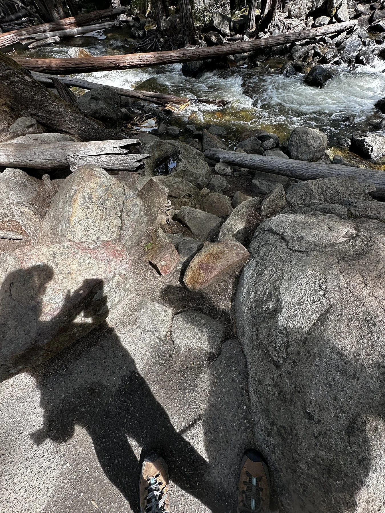
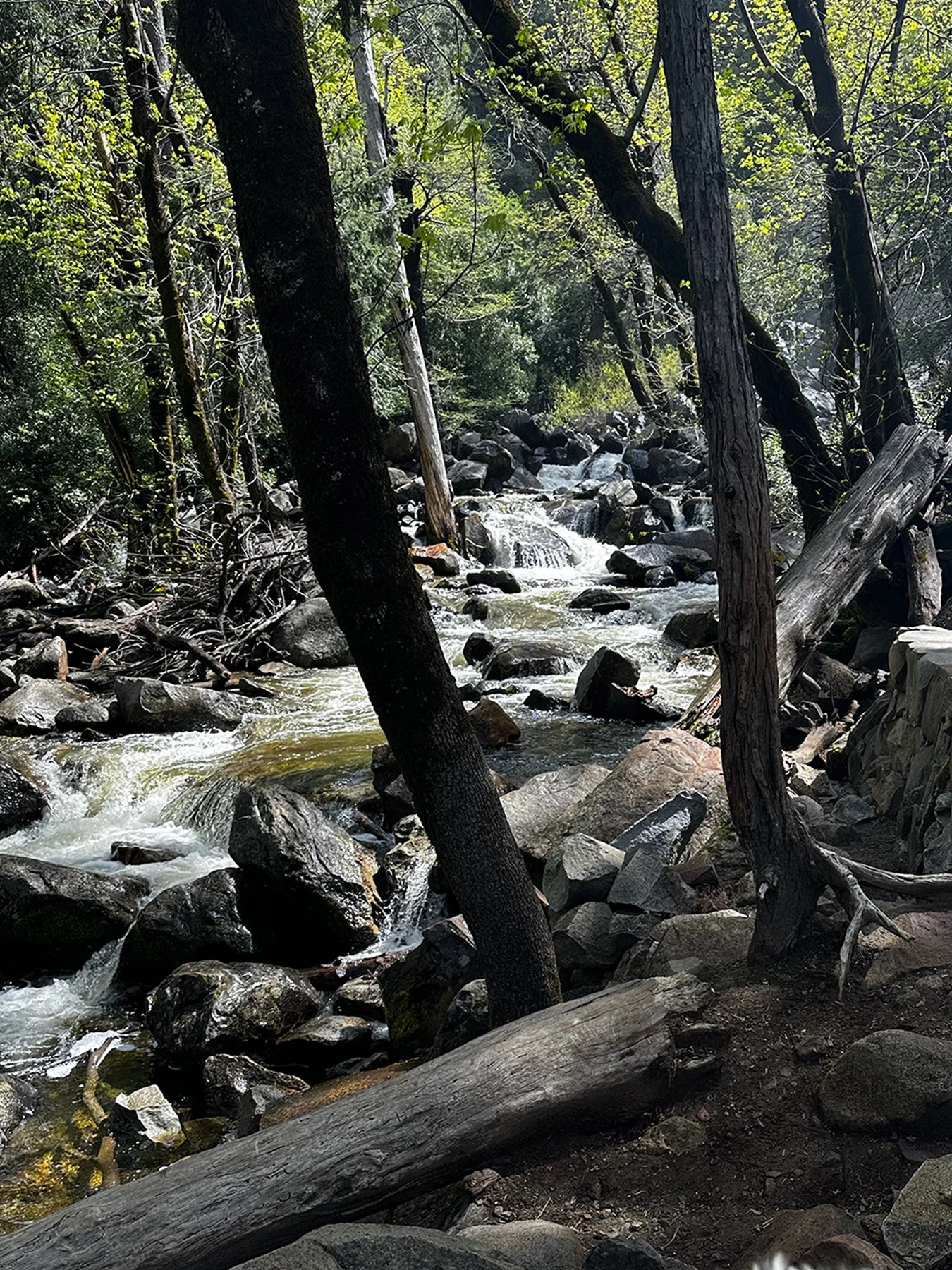
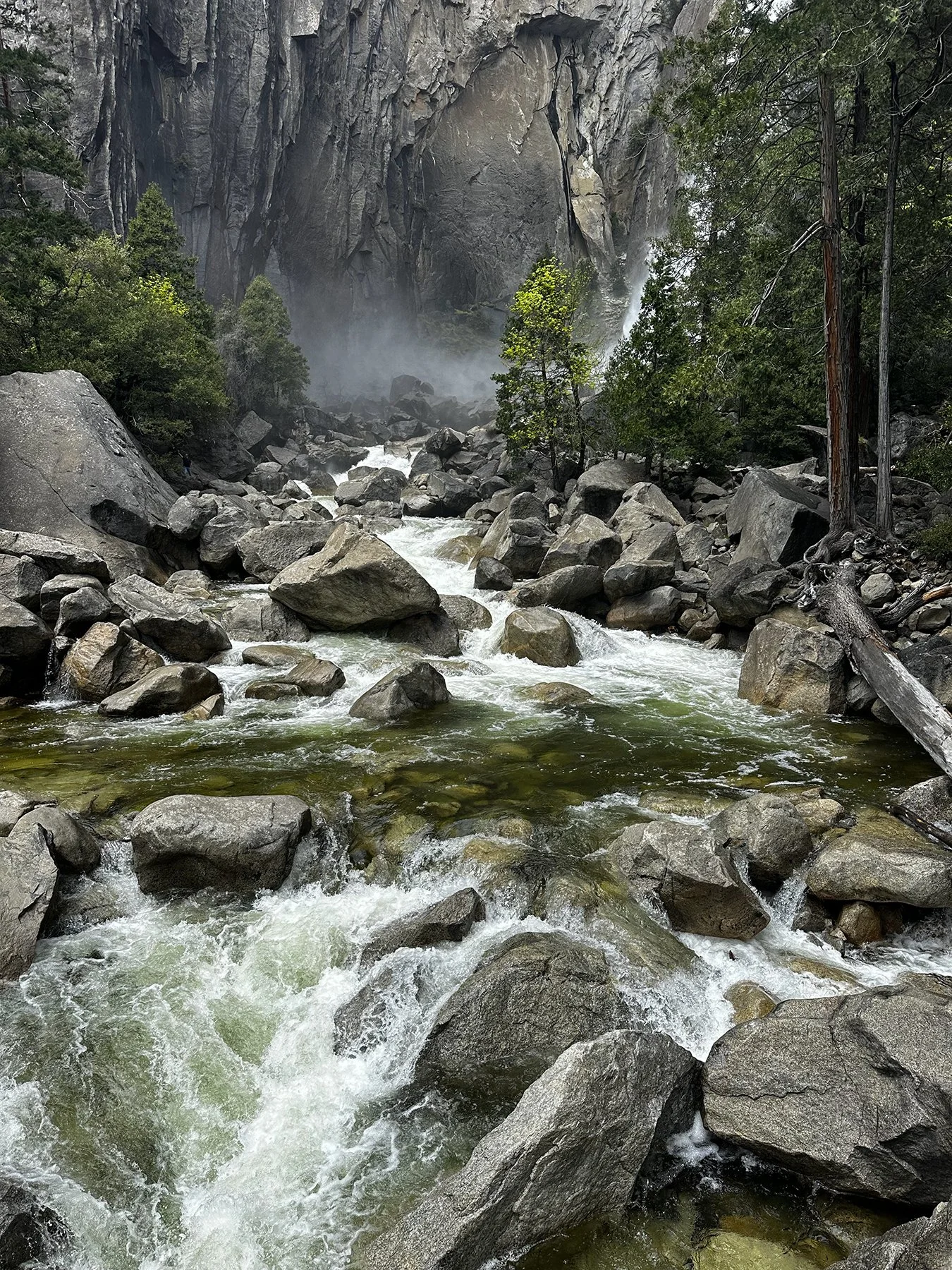
So Yosemite Valley is a glacial valley carved out of granite, which means the landscape is quite unique. With granite being such a hard rock, glaciers are one of the things powerful enough to carve a valley out of it. This glacial valley plus the elevation of the mountains surrounding it—some of the highest in the Sierra Nevada, with several above 10,000 ft—plus the picturesque rivers, lakes and meadows combine to create the most spectacular landscape. Aesthetically speaking, Yosemite Valley provides us with some of the most picturesque and unique views in the world.
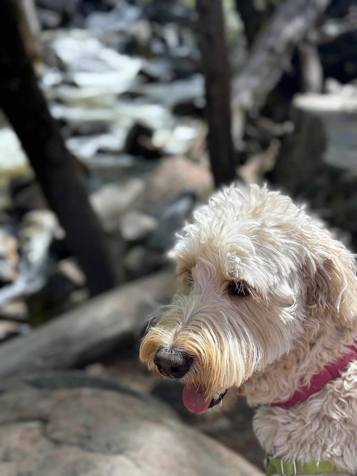
And then there’s the trails. Yosemite has more than 800 miles of trails. Unfortunately, and like most national parks, dogs are not allowed on most of the trails. However, I was VERY impressed with number and design of the many paved accessible trails for bicycles, pedestrians and dogs—finally! We actually hiked over 10 miles our first day at Yosemite. 10 miles! I’m running out of adjectives to describe this magical area, so I’m going to have to rely on the pictures telling the story!
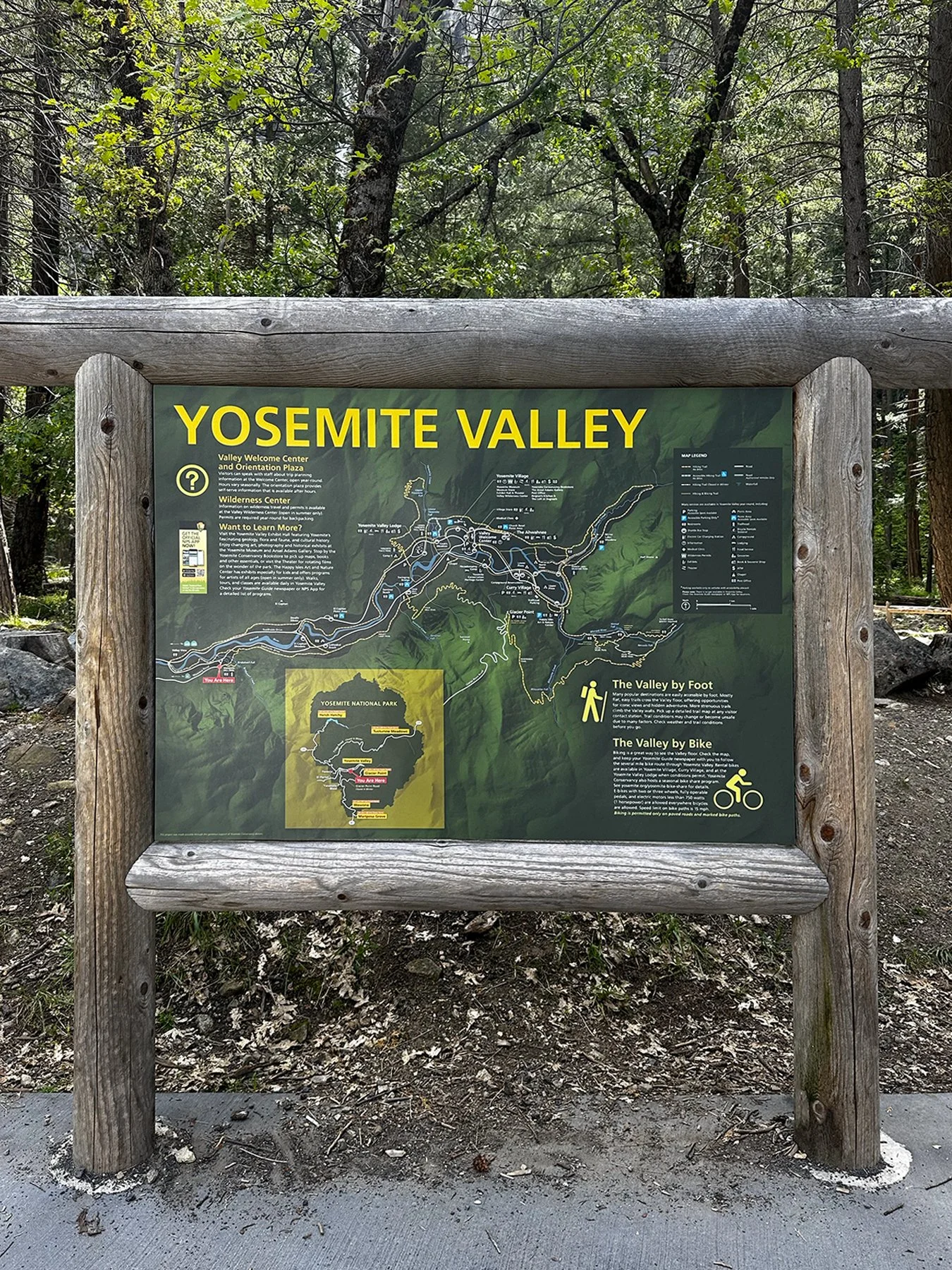
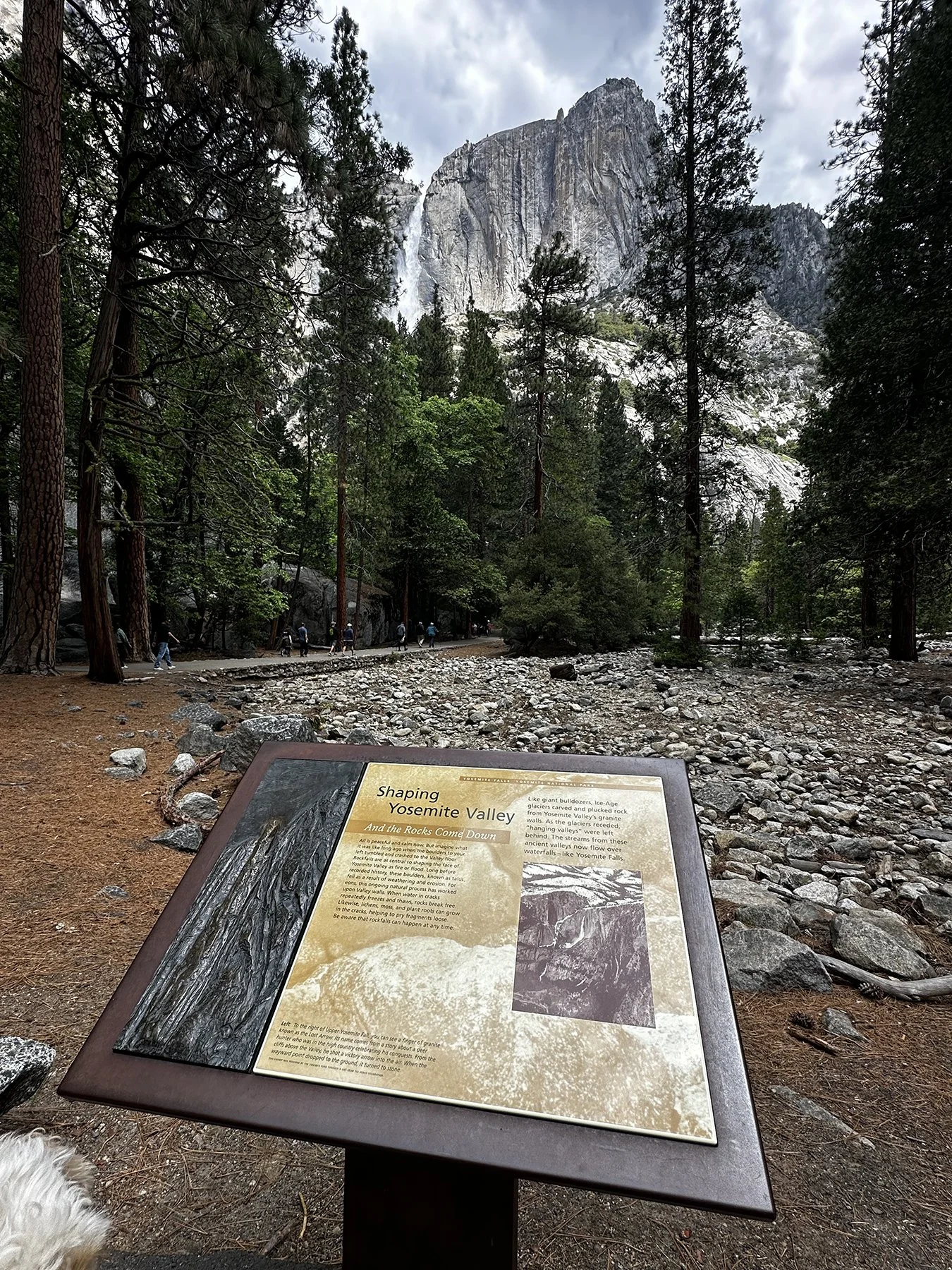
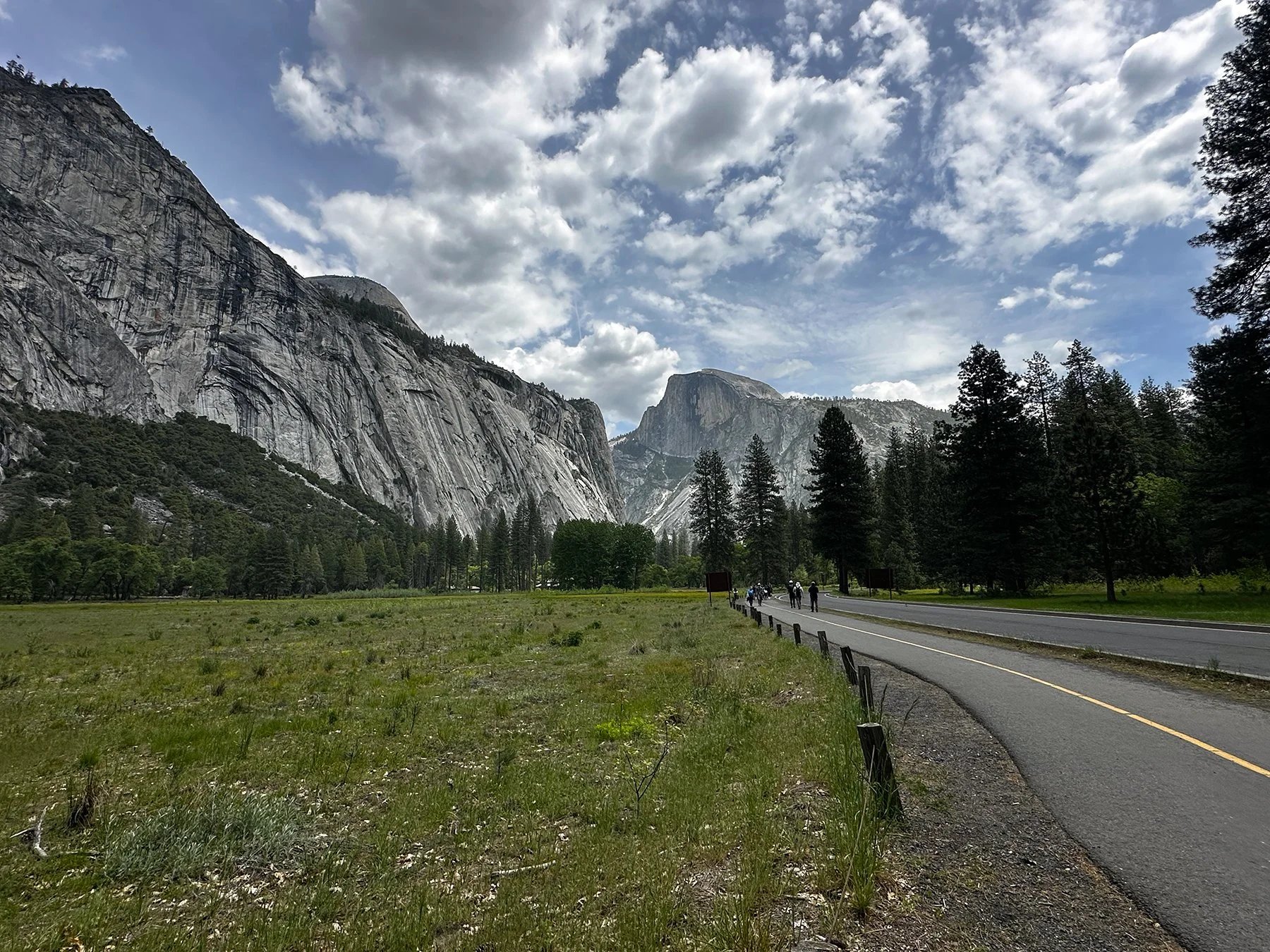
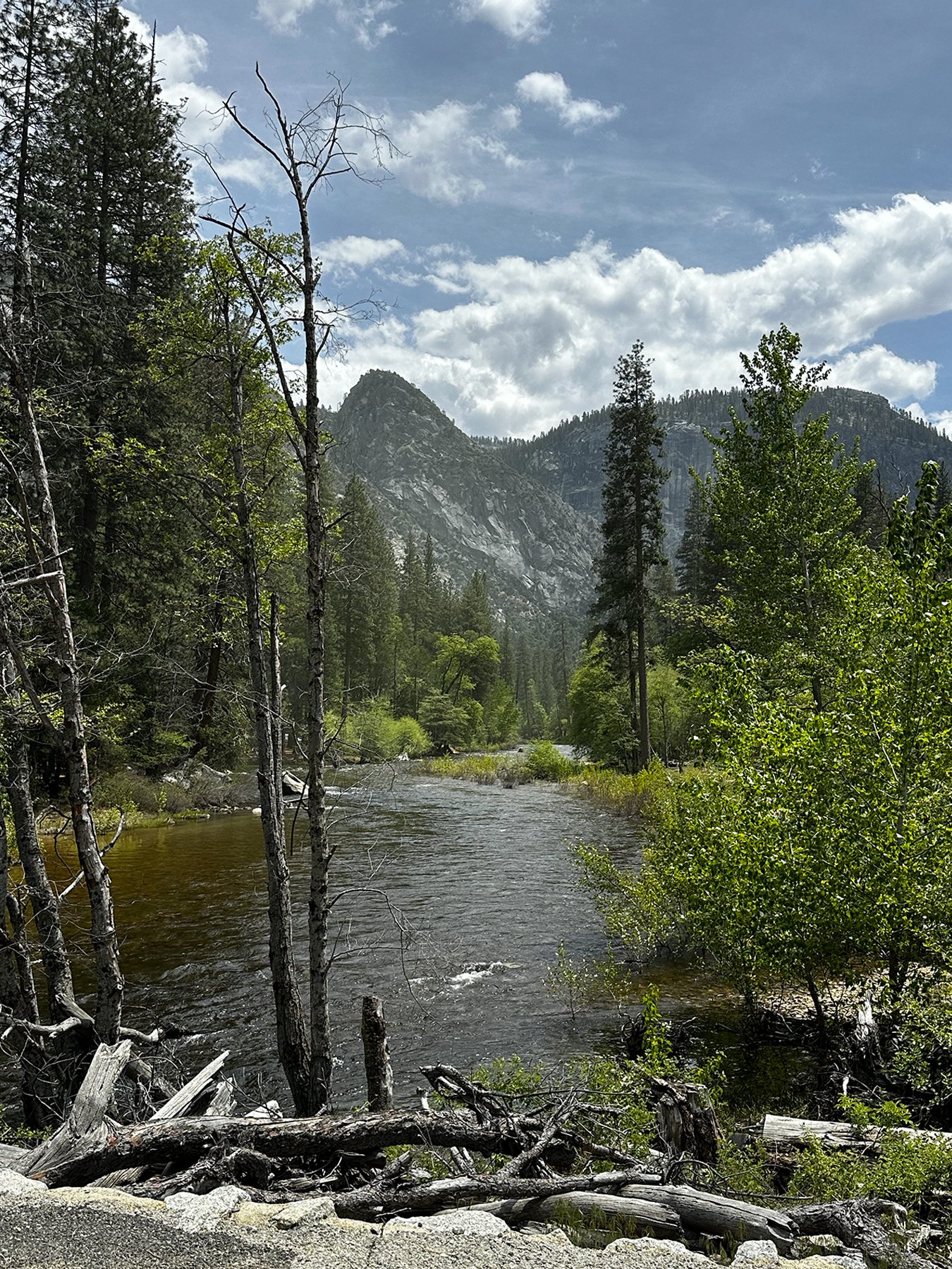
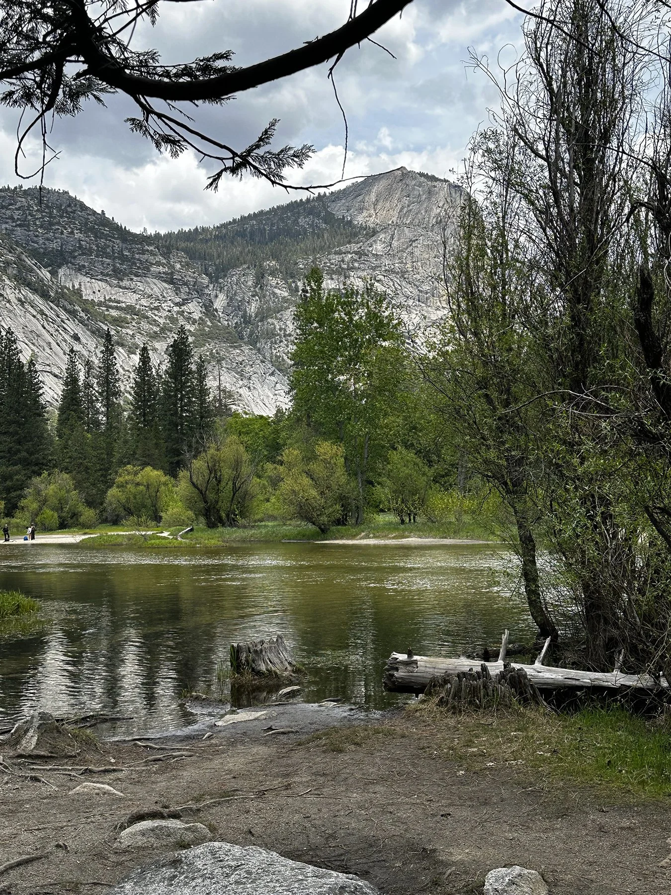
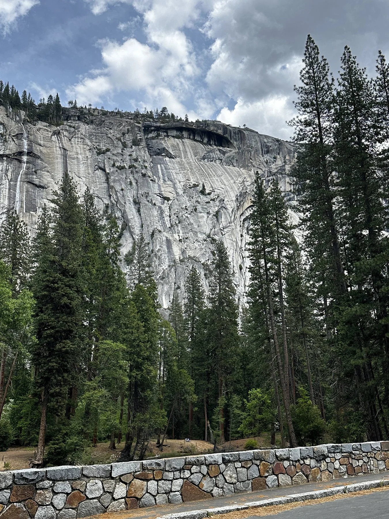
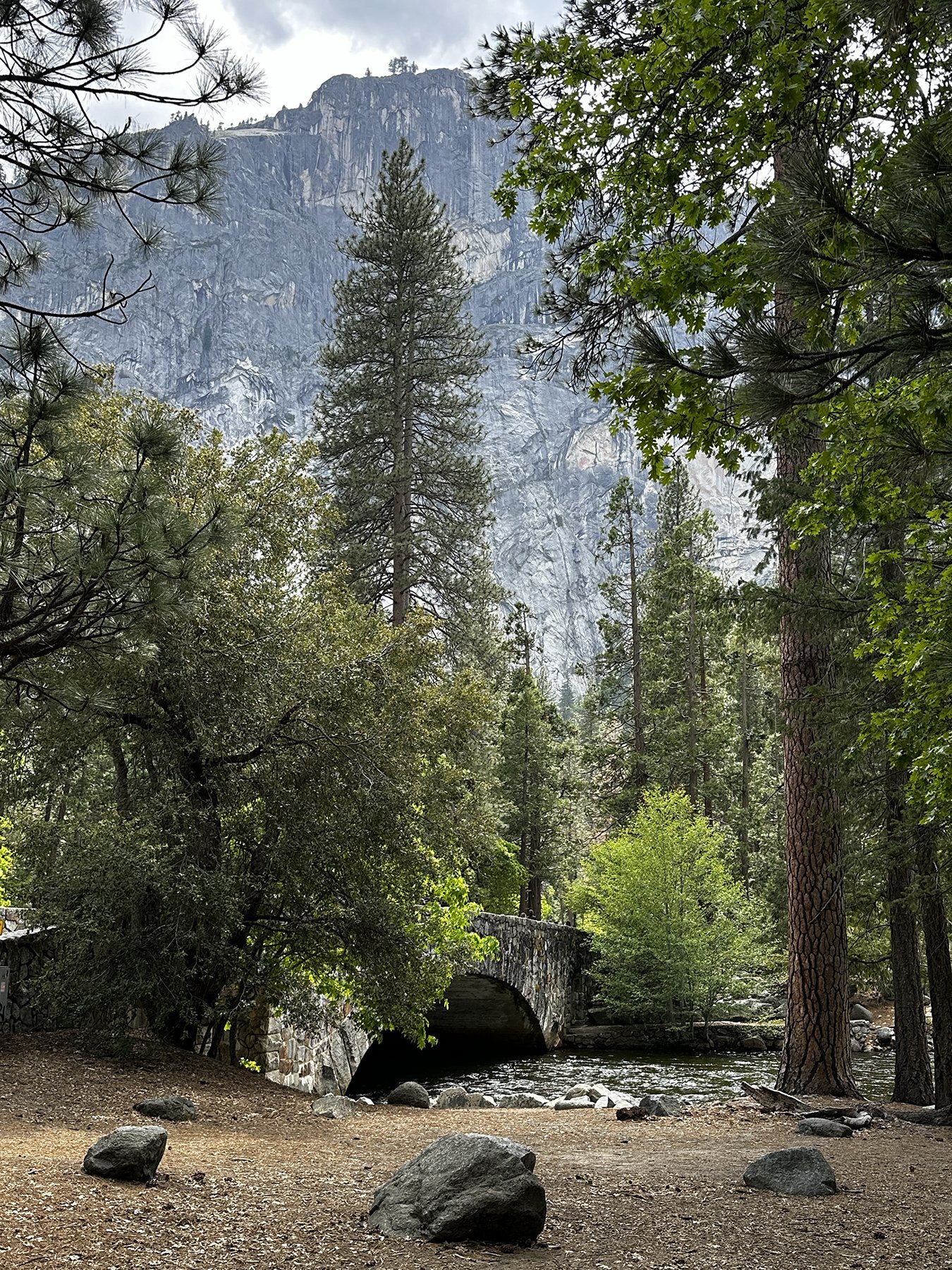
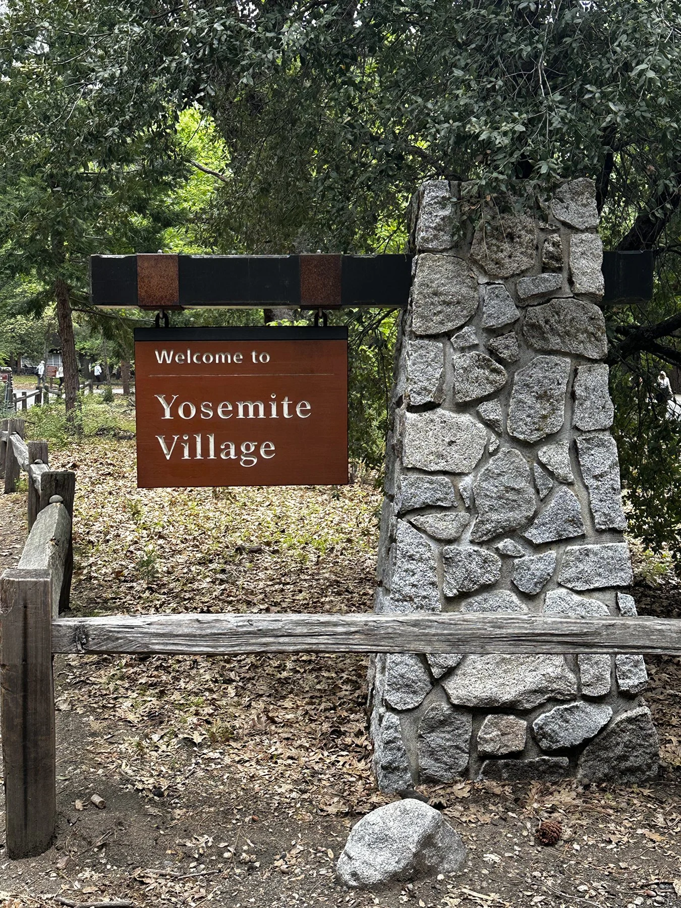
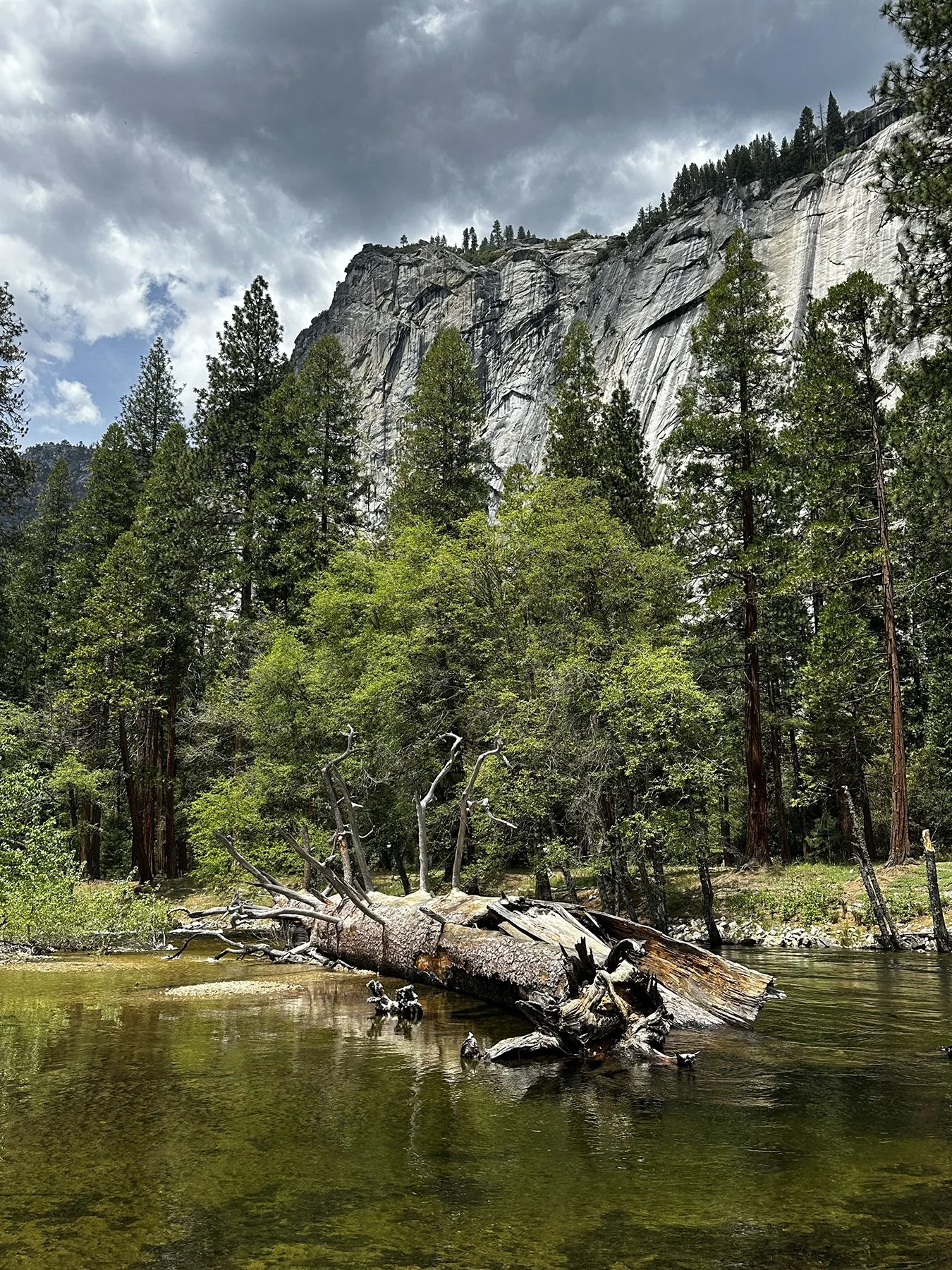
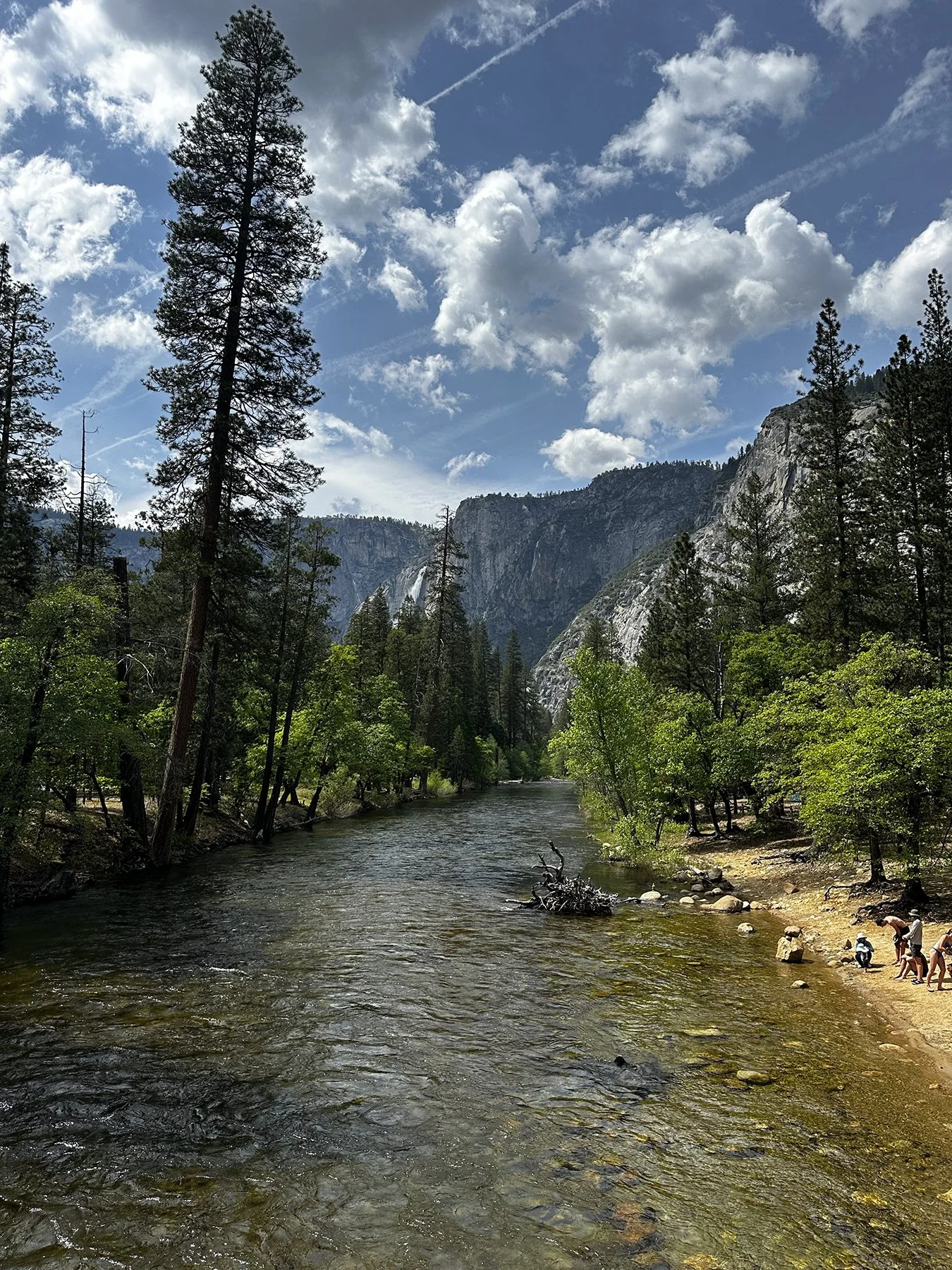
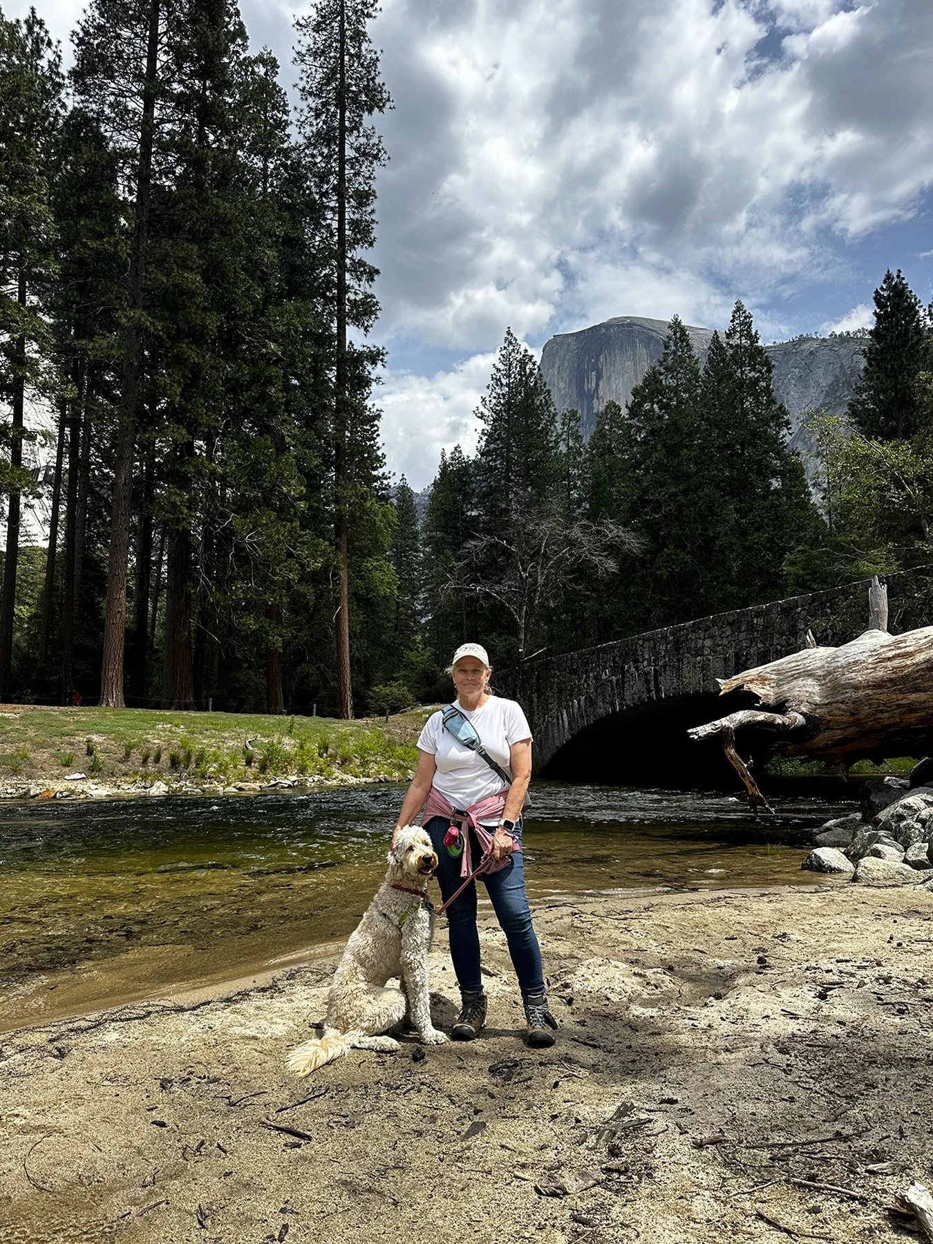
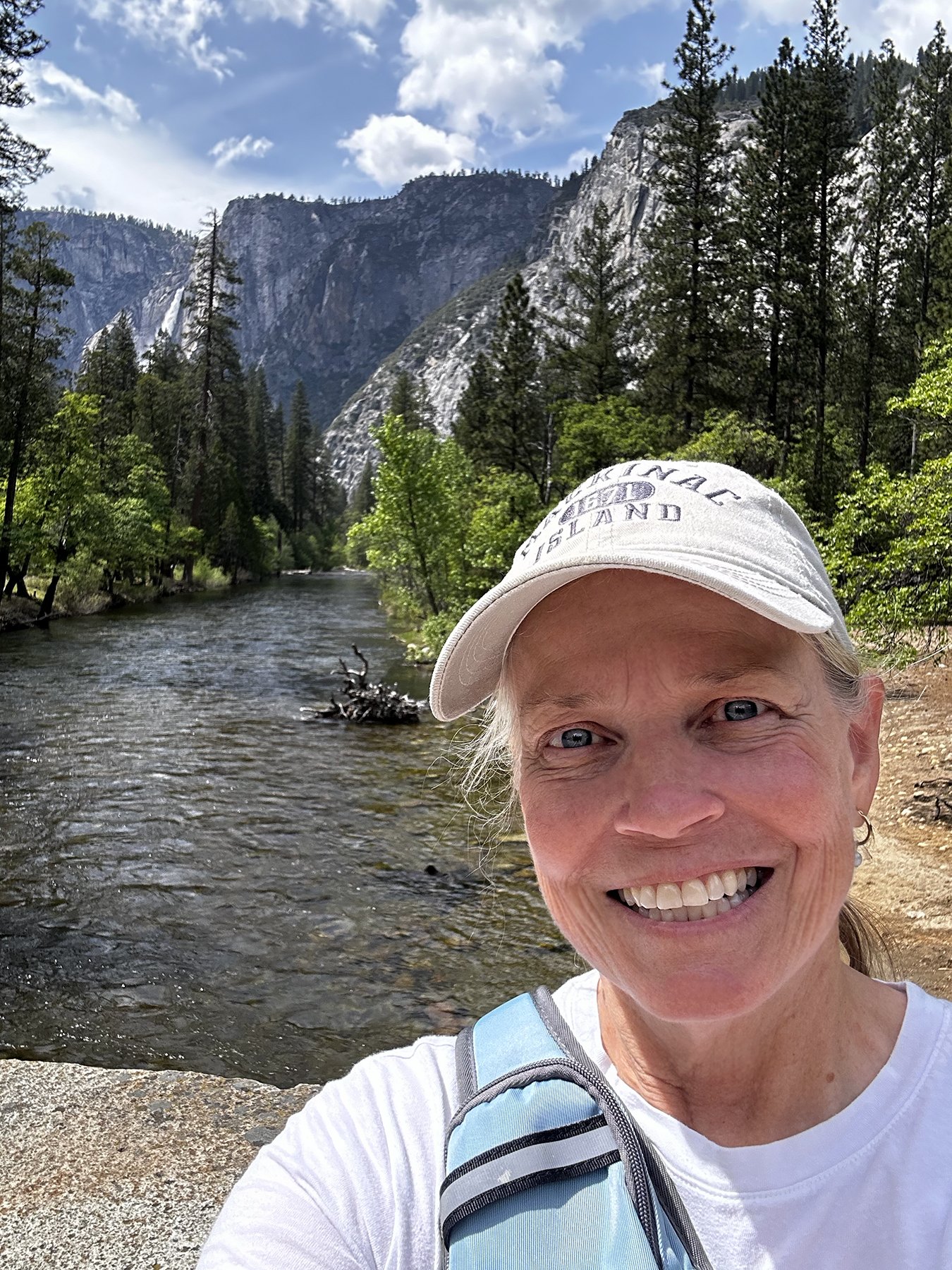
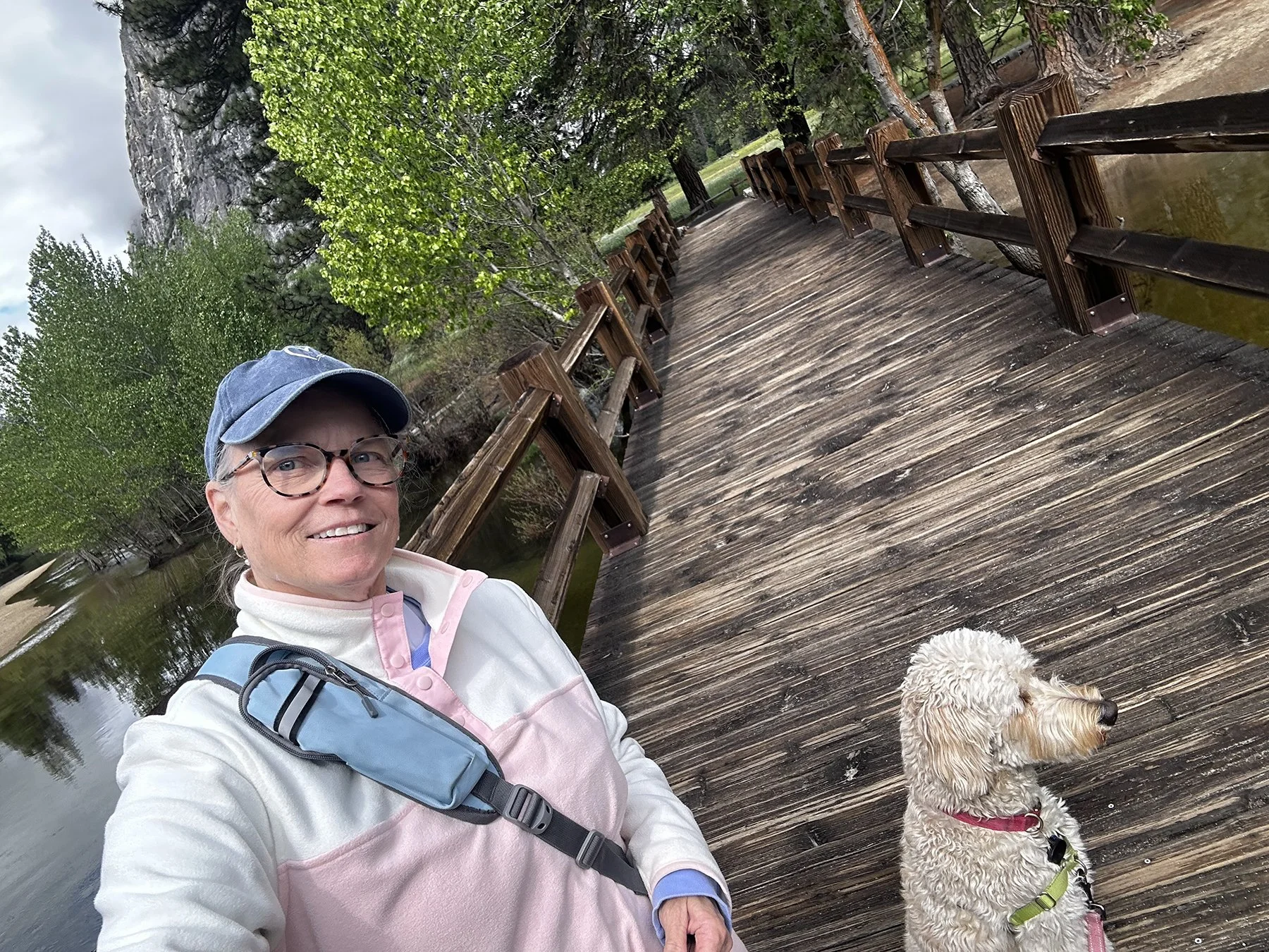
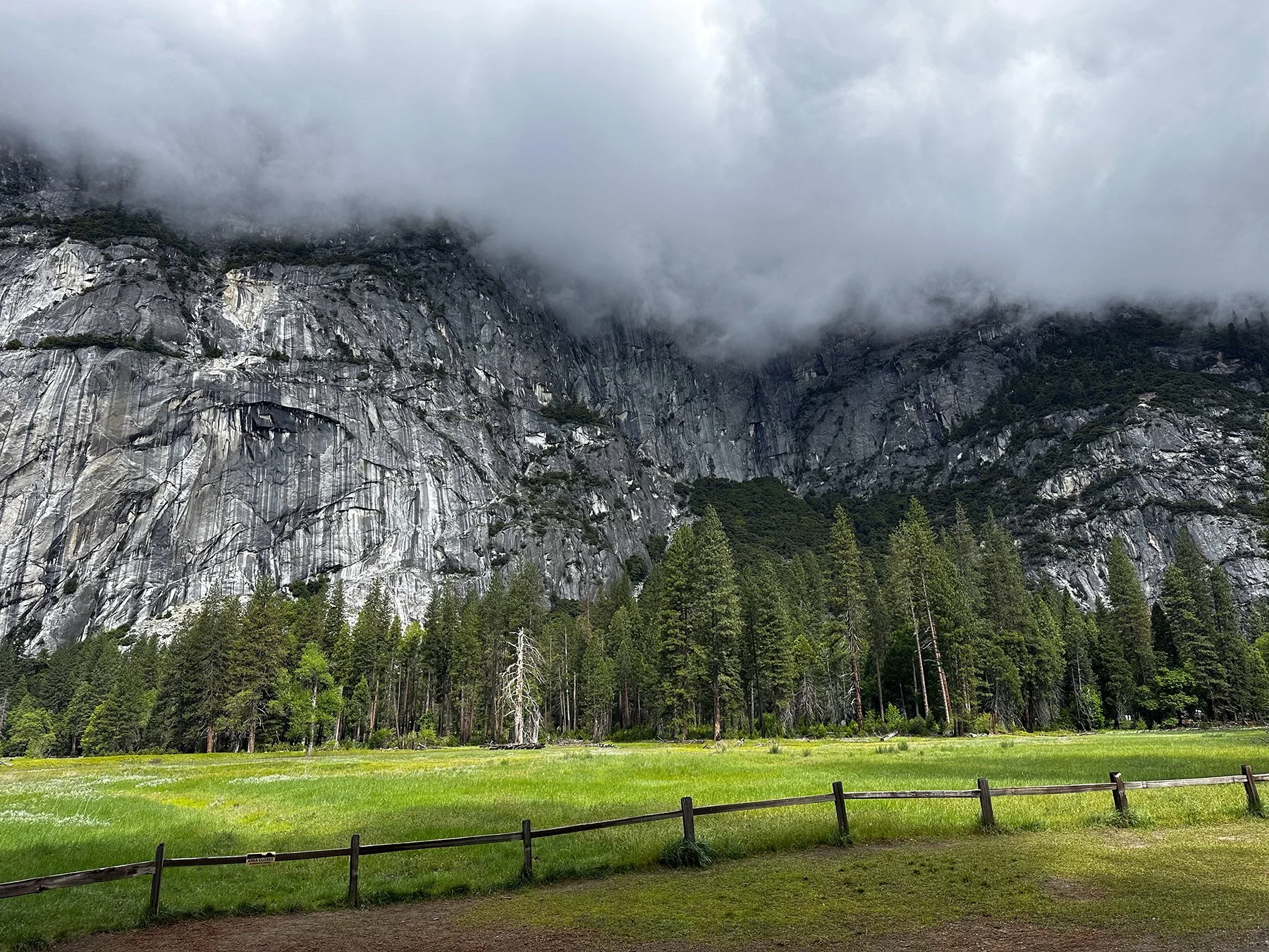
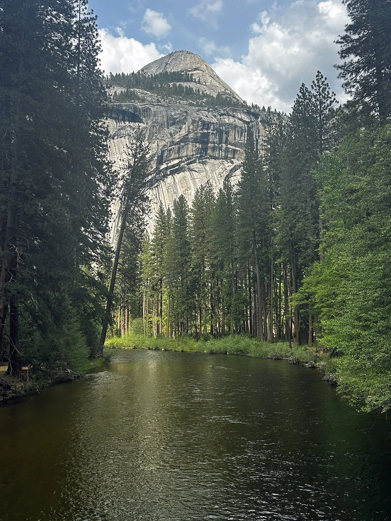
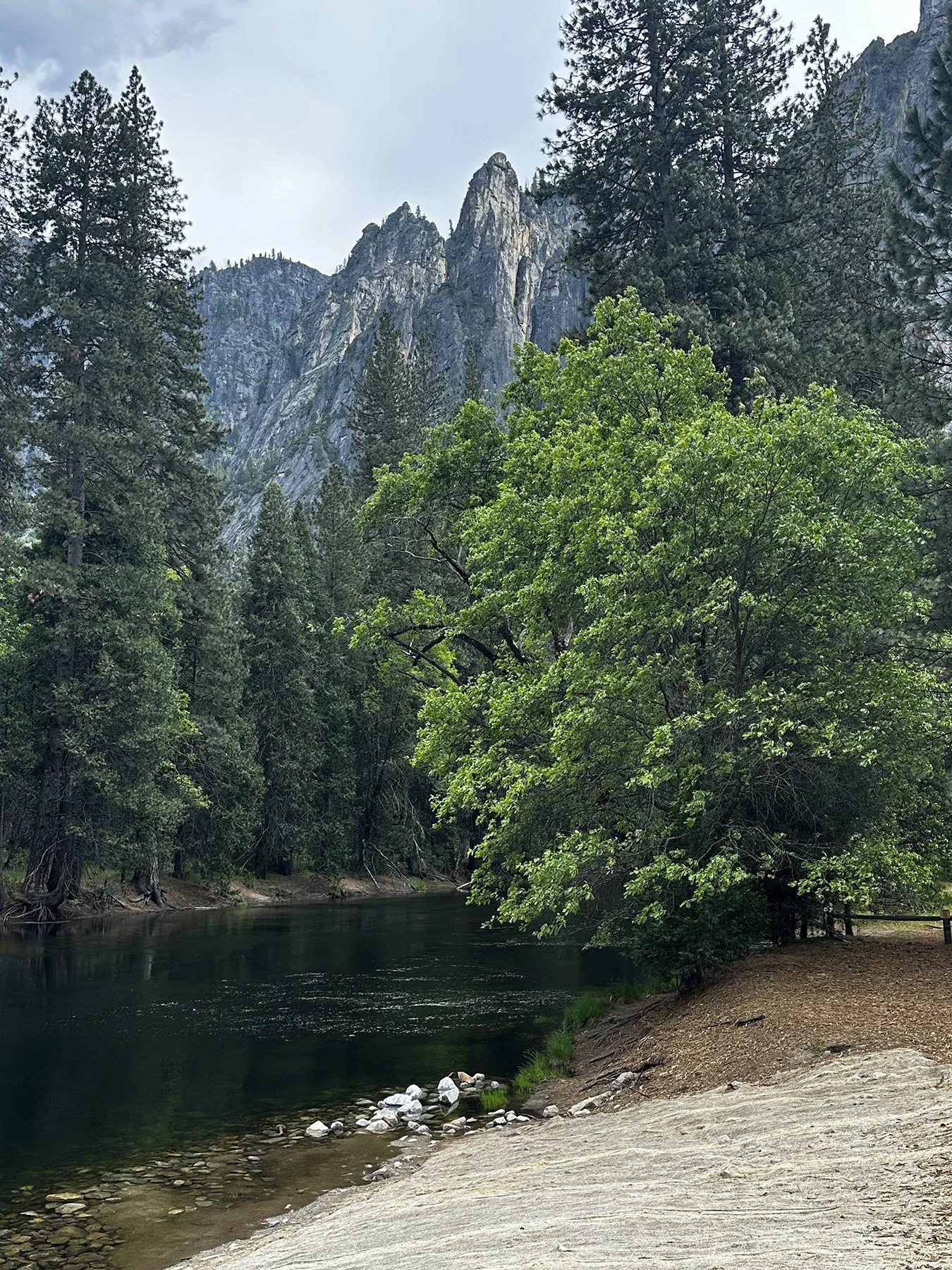
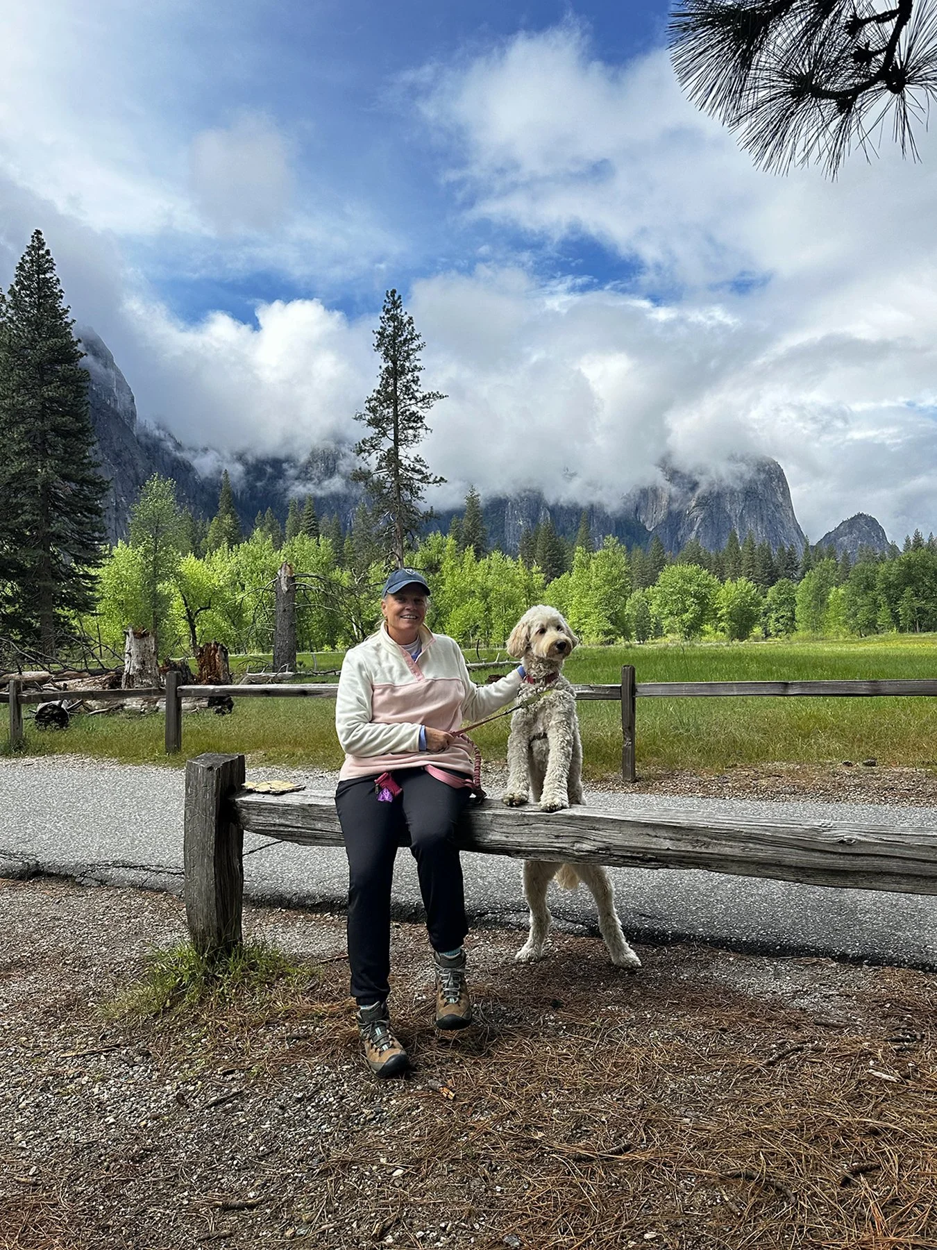
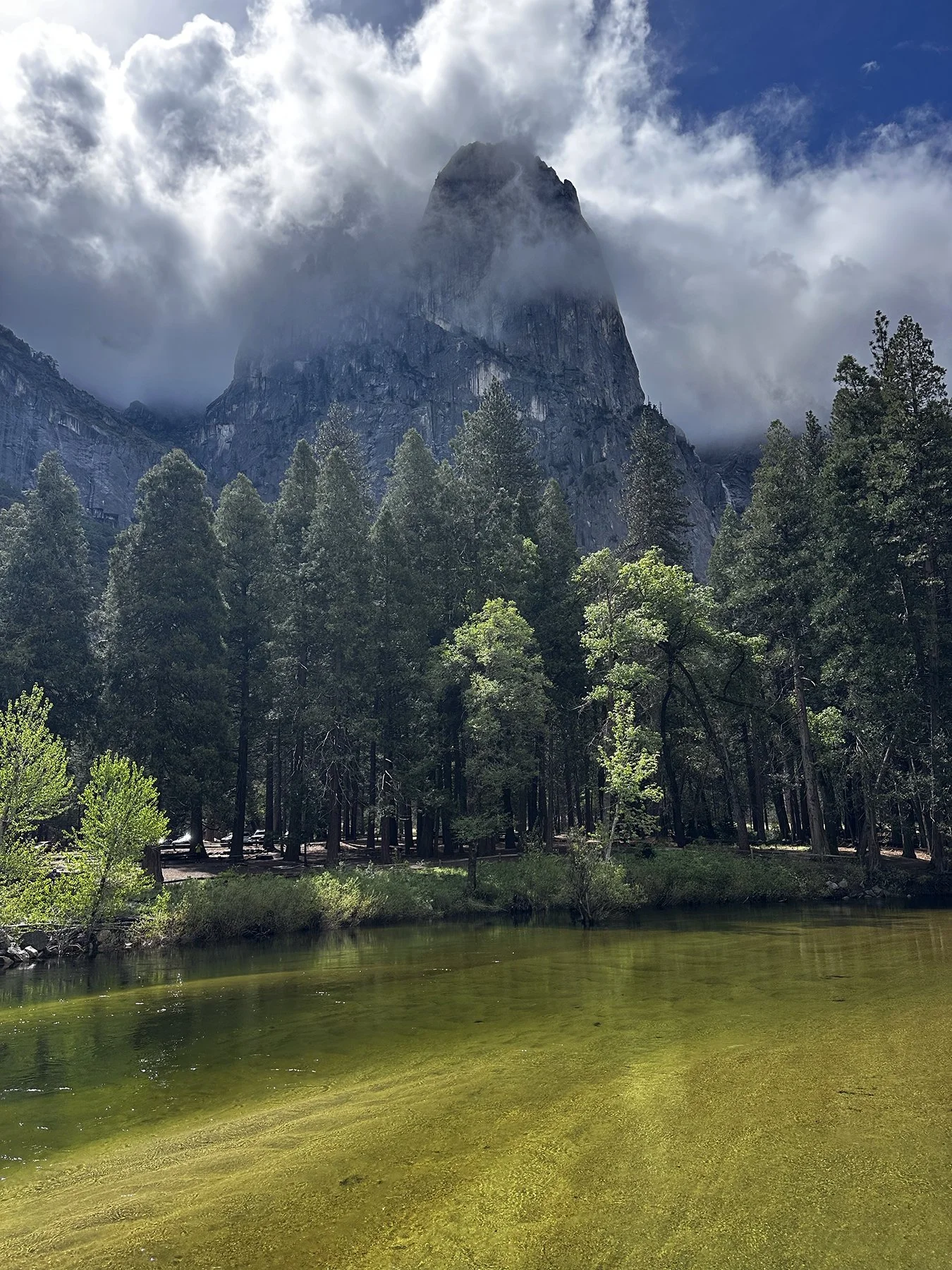
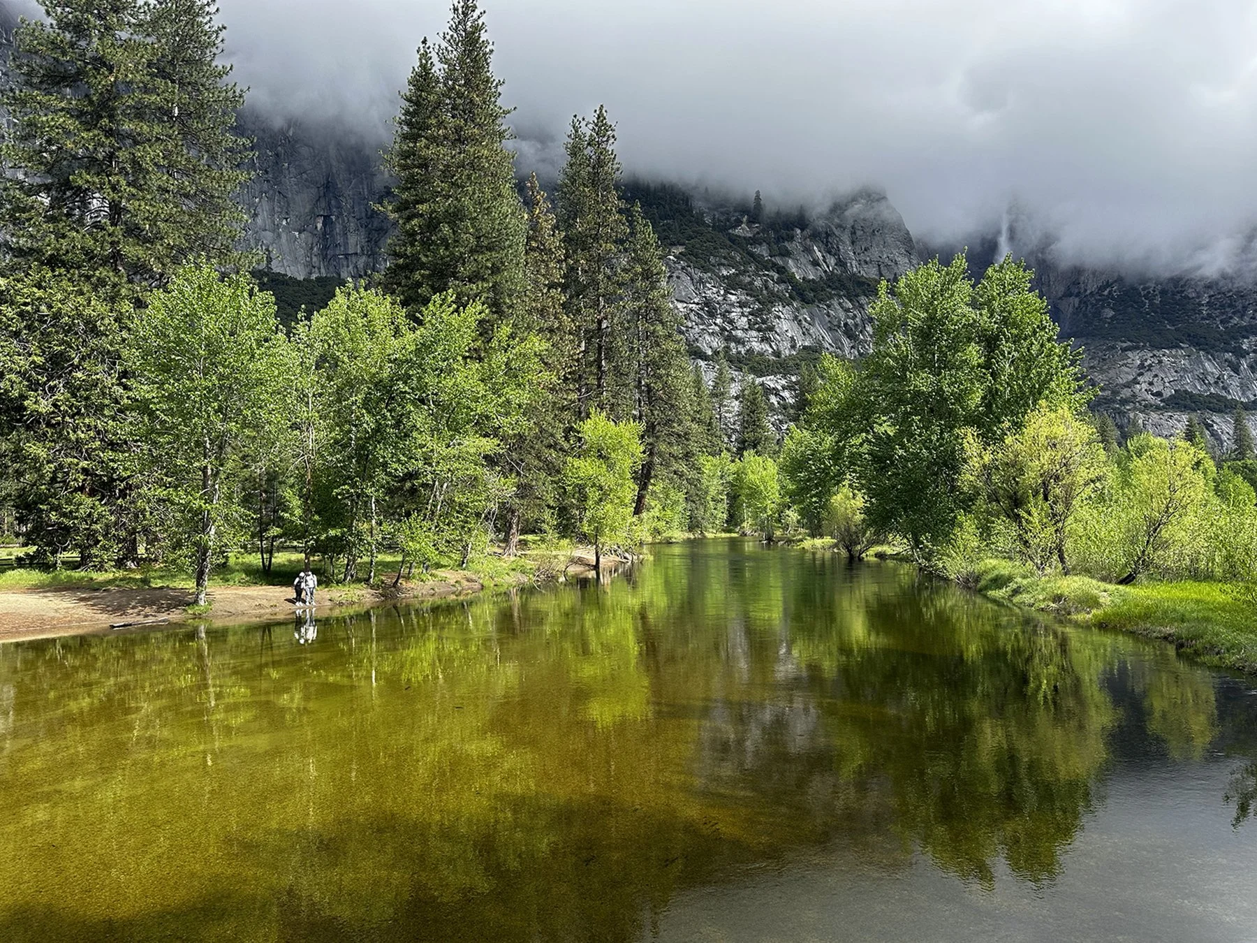
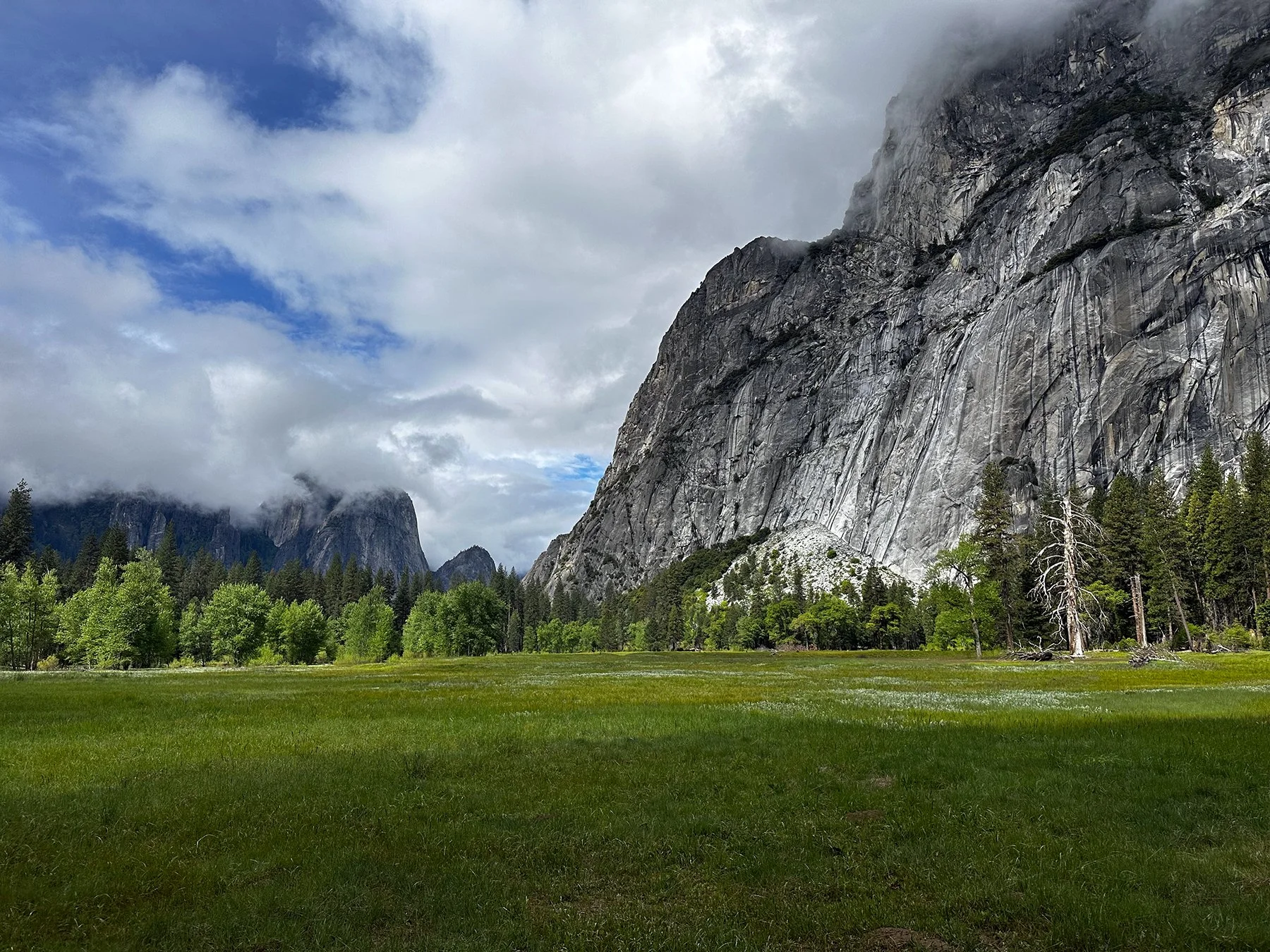
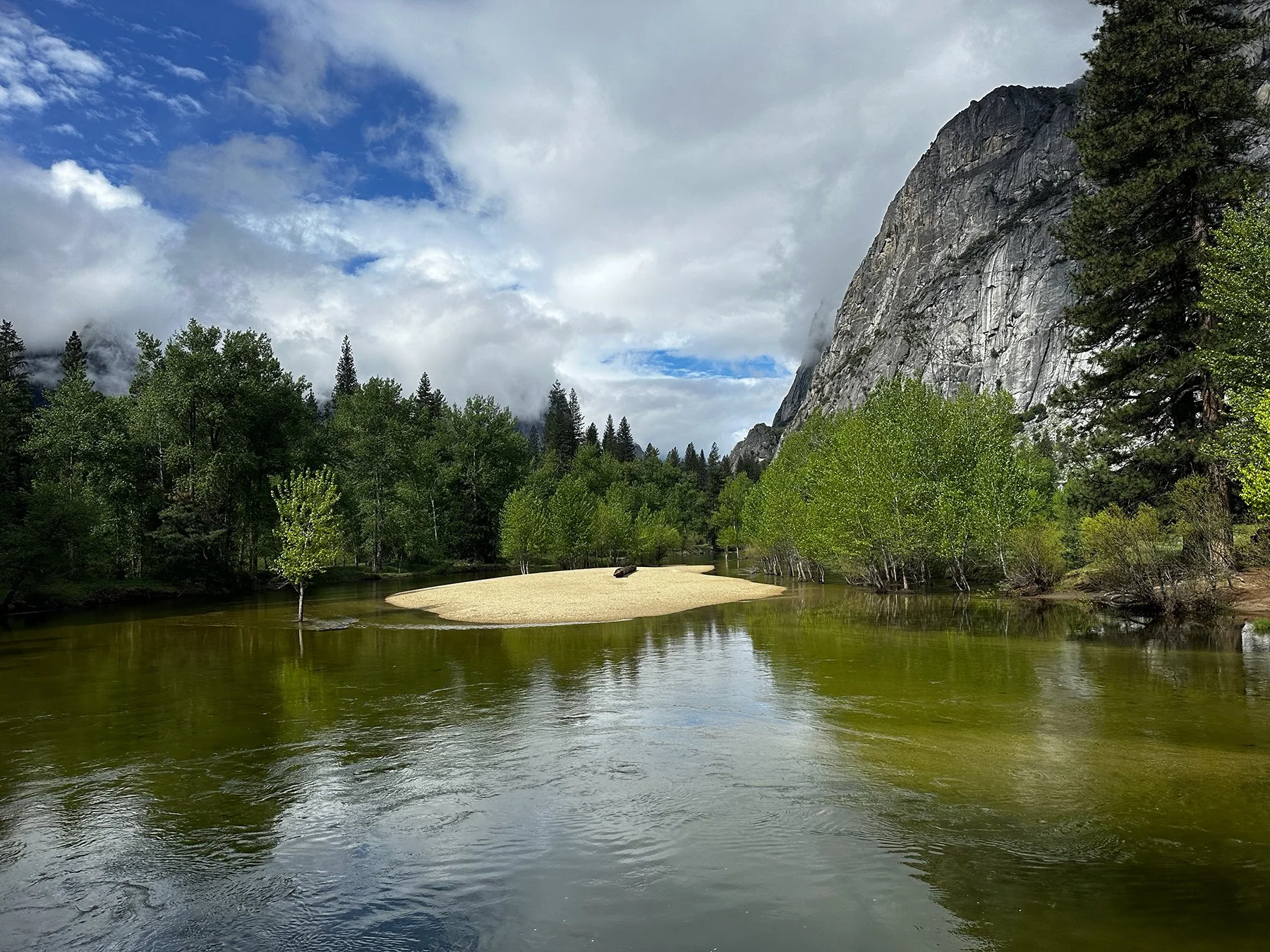
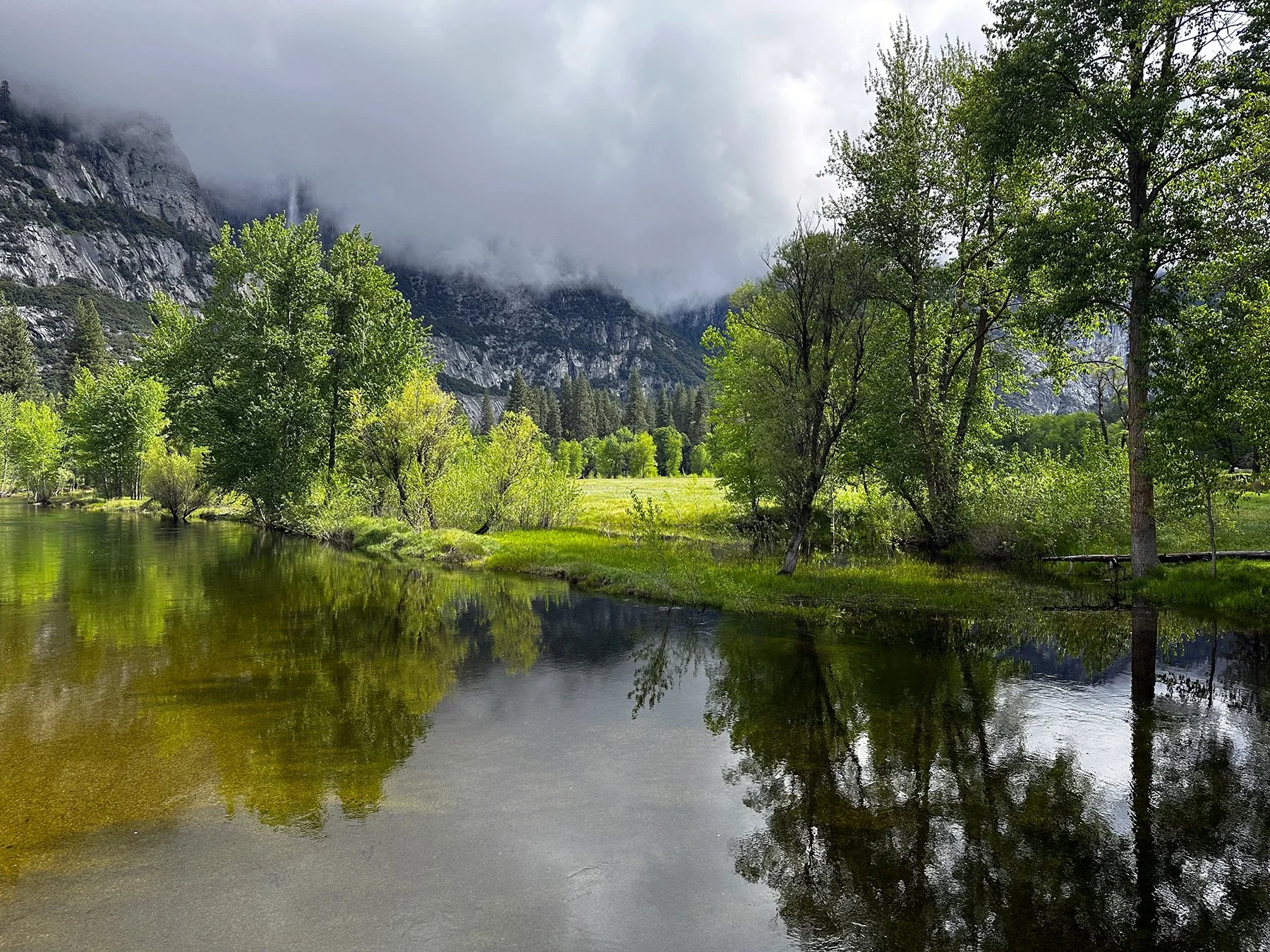
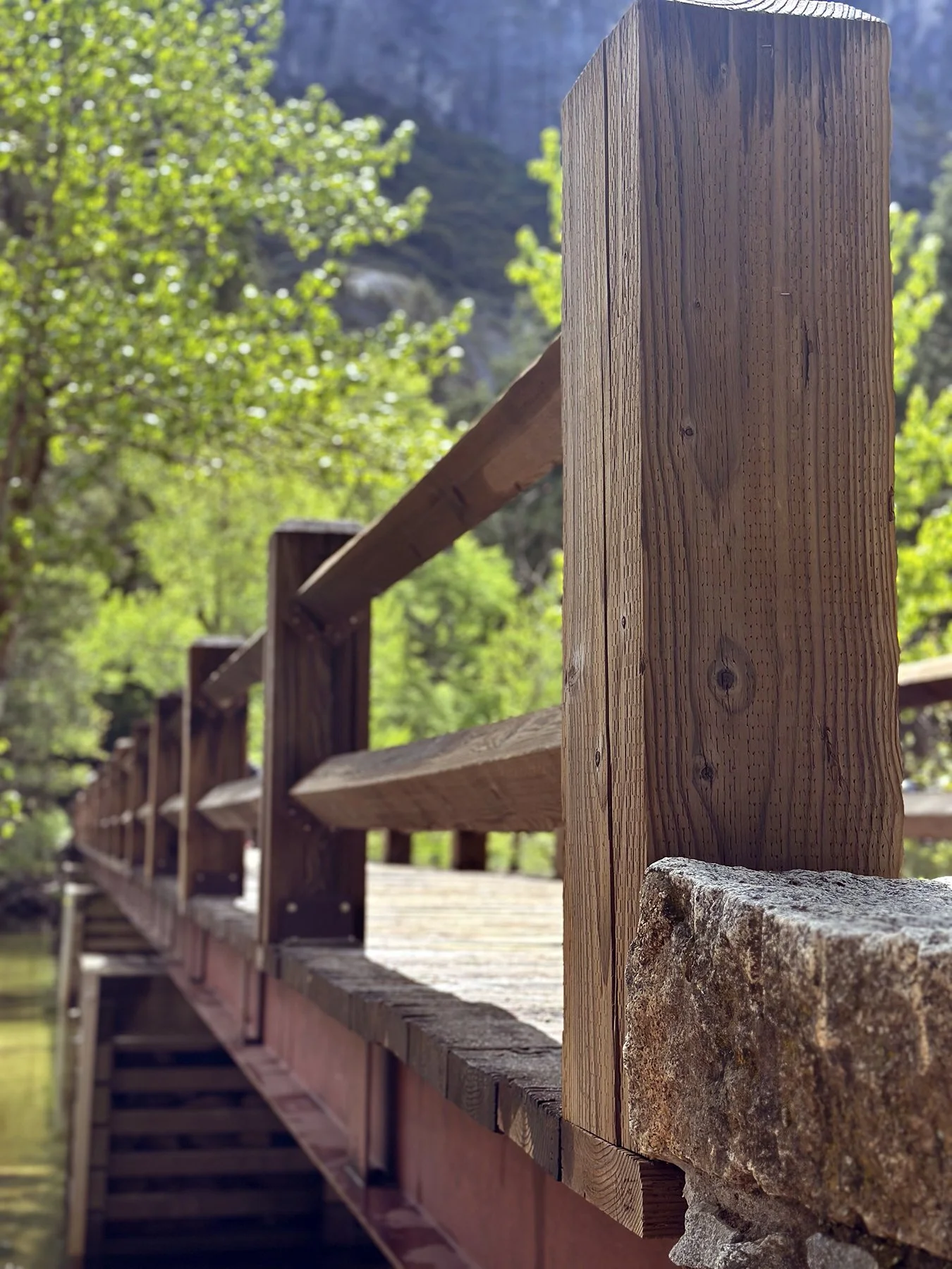
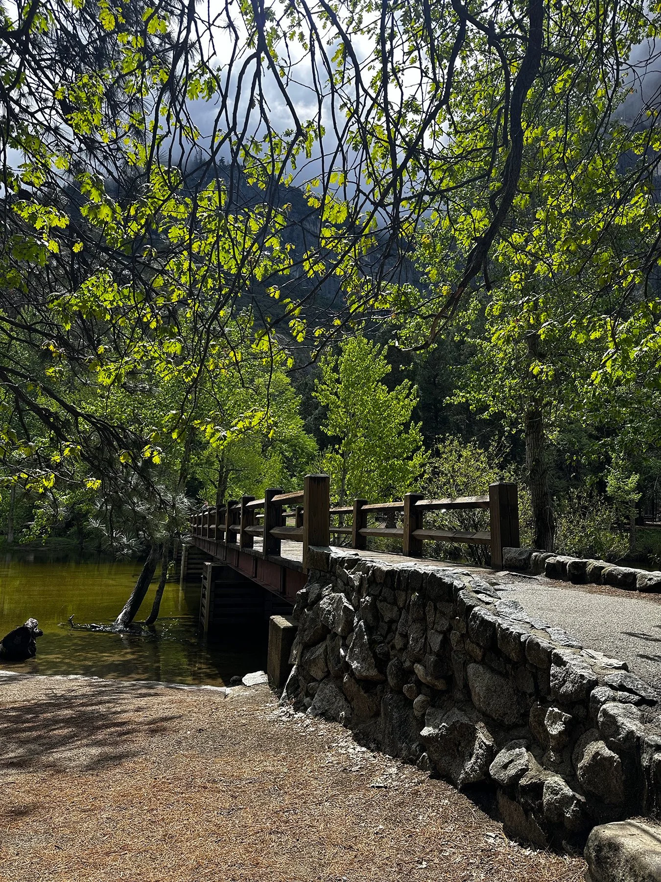
The pine forests in the western side of the park are considered by arborists as the finest on earth. Jeffery pine, sugar pine, lodgepole pine, ponderosa pine in addition to California red fir reach their greatest expression of height and size in the park. And add the Giant Sequoia groves? Lord, have mercy! The smell of the pines was intoxicating. The silly photo is me happily holding up the remote control to my new selfie stick among the pines—it made things so much easier since as much as I ask Maisie to help me take pictures, she just refuses ;-). How long after this did I lose said remote? Like two hours. Ugg!
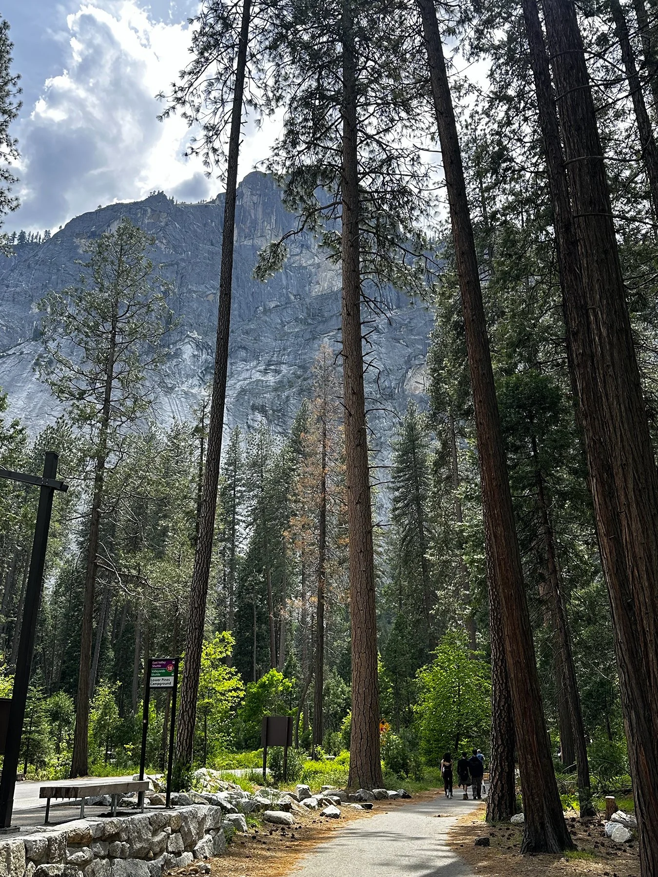
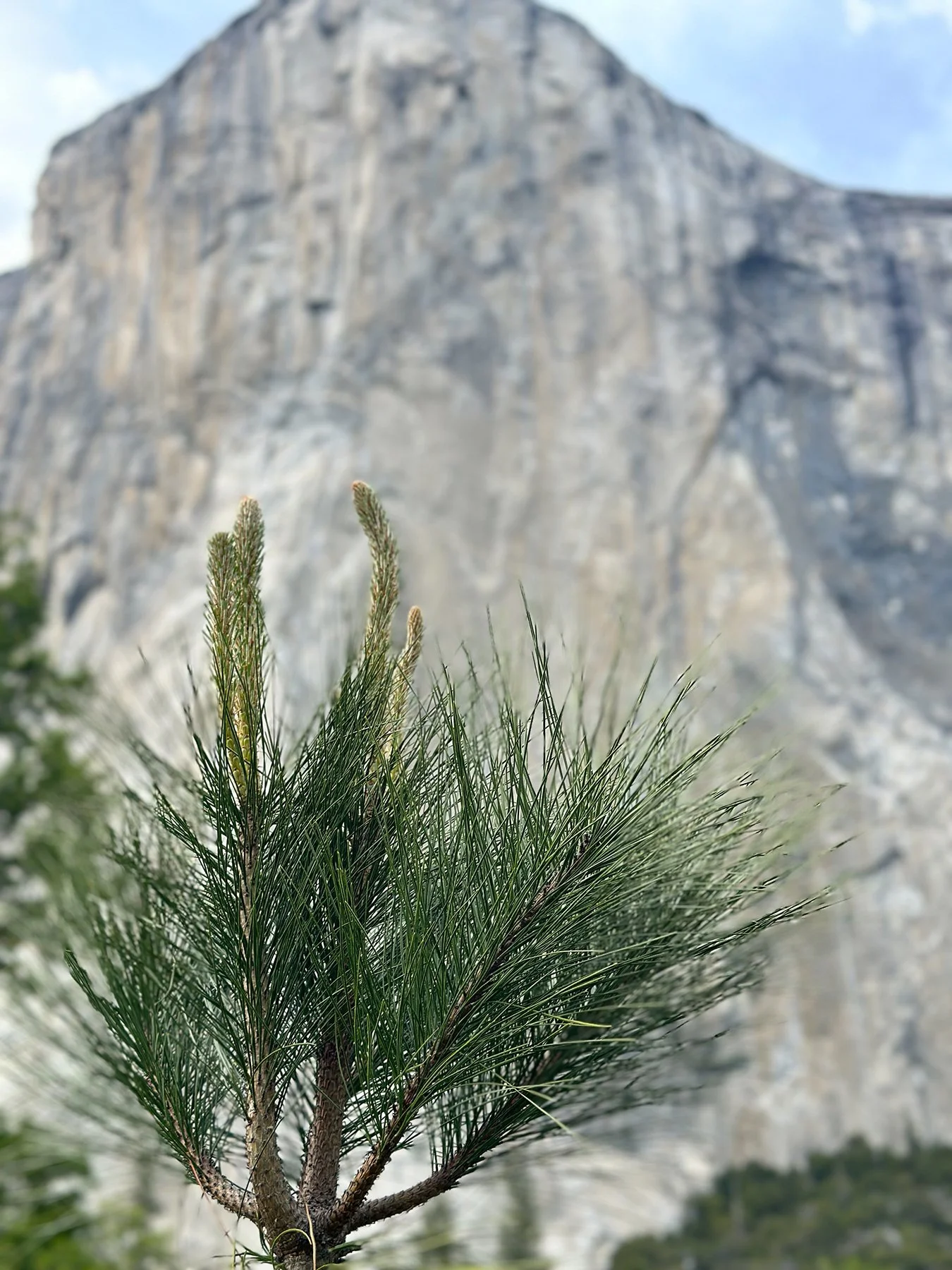
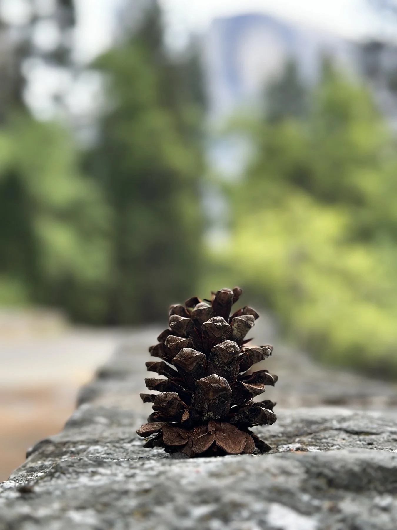
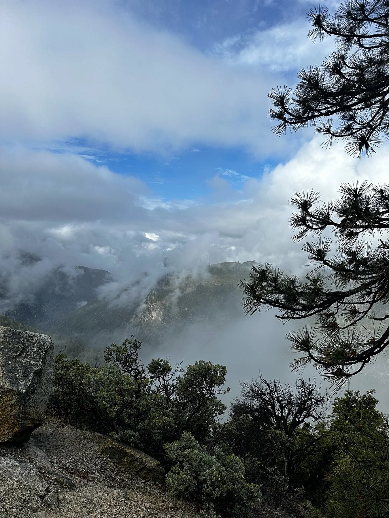
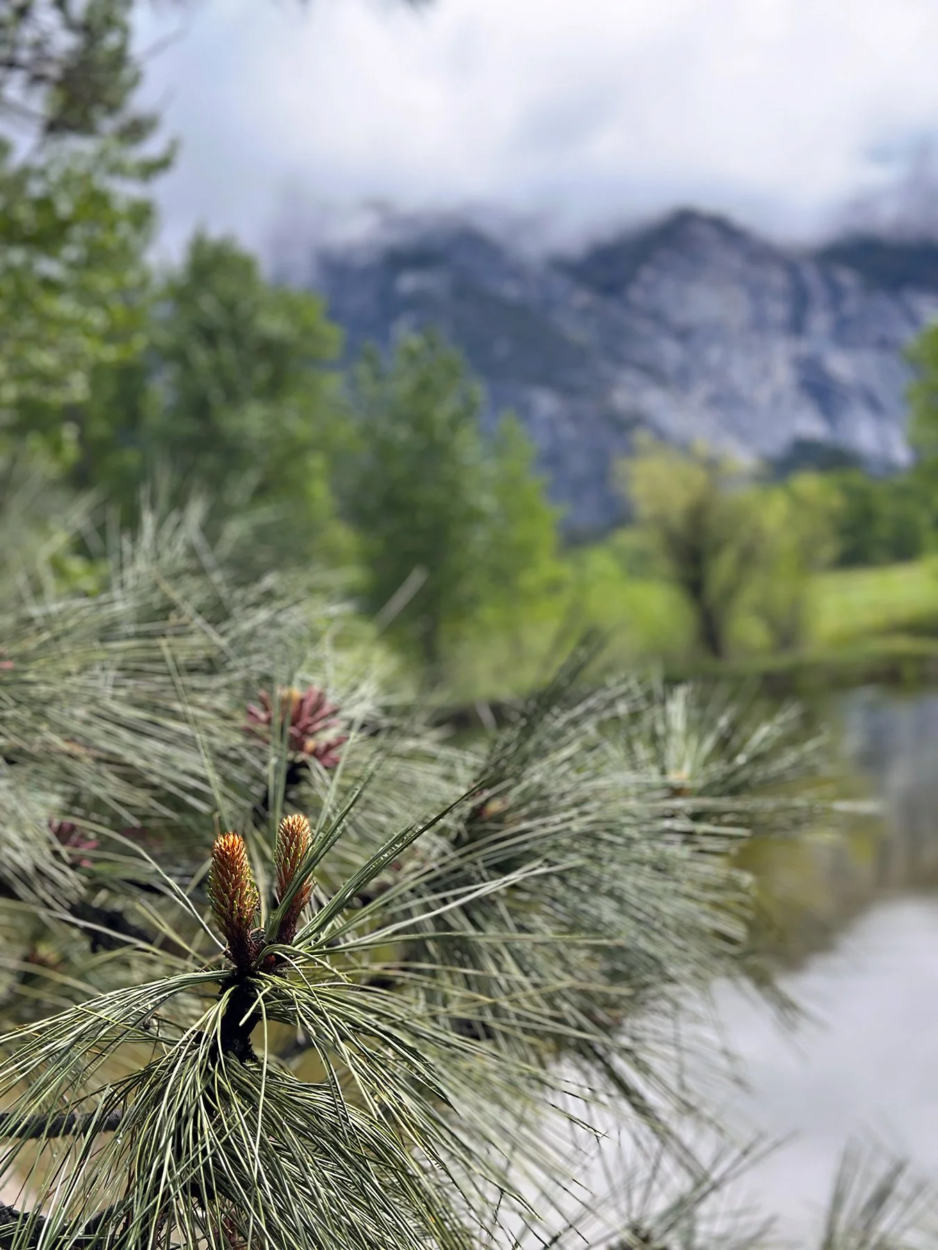
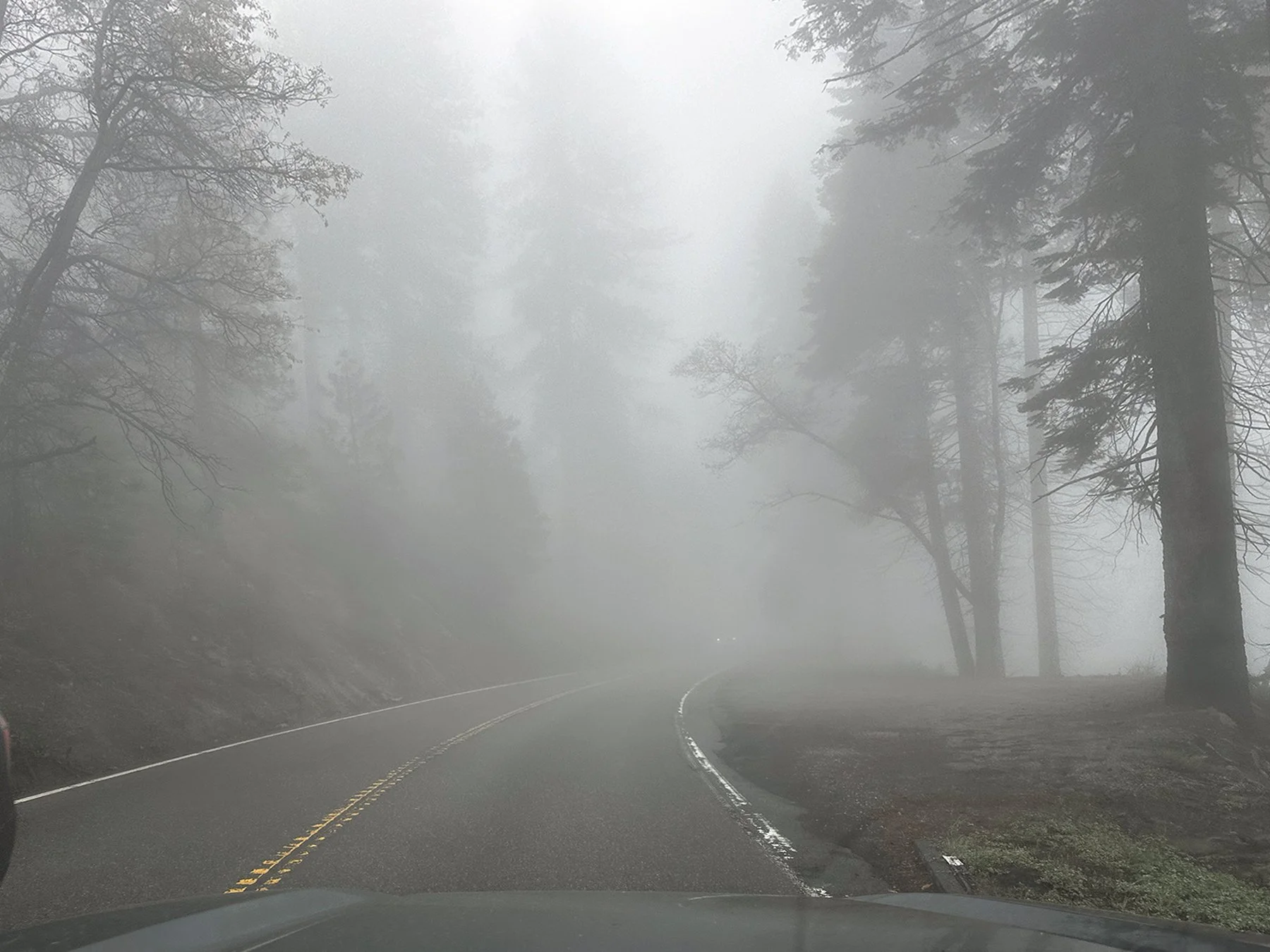
Yosemite National Park is also home to some of the most breathtaking waterfalls in the world. With dramatic plunges, powerful cascades, and serene alpine settings, these waterfalls are more than just scenic—they’re unforgettable experiences. Yosemite Falls, dropping 4,425 feet, is the tallest waterfall in all of North America. Maisie and I hiked the Lower Falls Trail both days we were there. The Upper Falls Trail? Well, it ascends over 2,600 feet and is a steep, full-day, 6-10 hour strenuous 7.6-mile round-trip hike, and dogs aren’t allowed. Would I have tried it otherwise? I doubt it! Maybe next year?
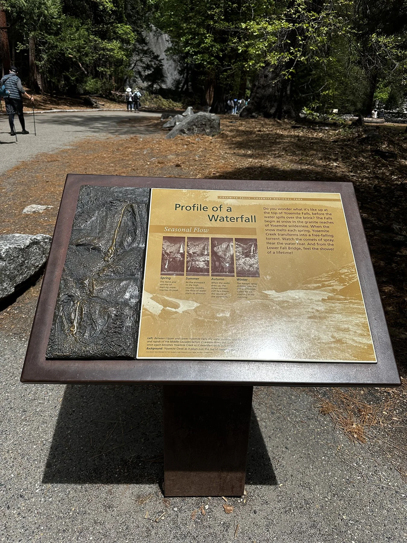
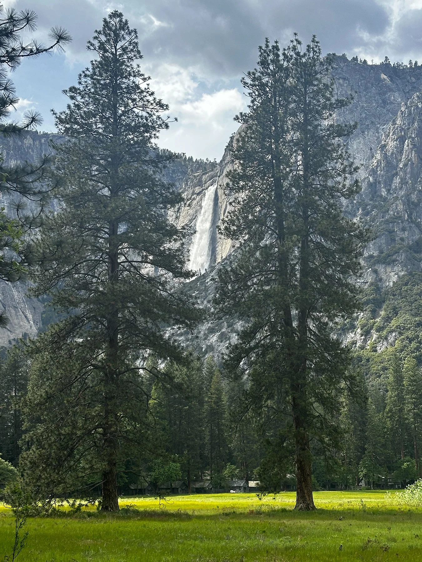

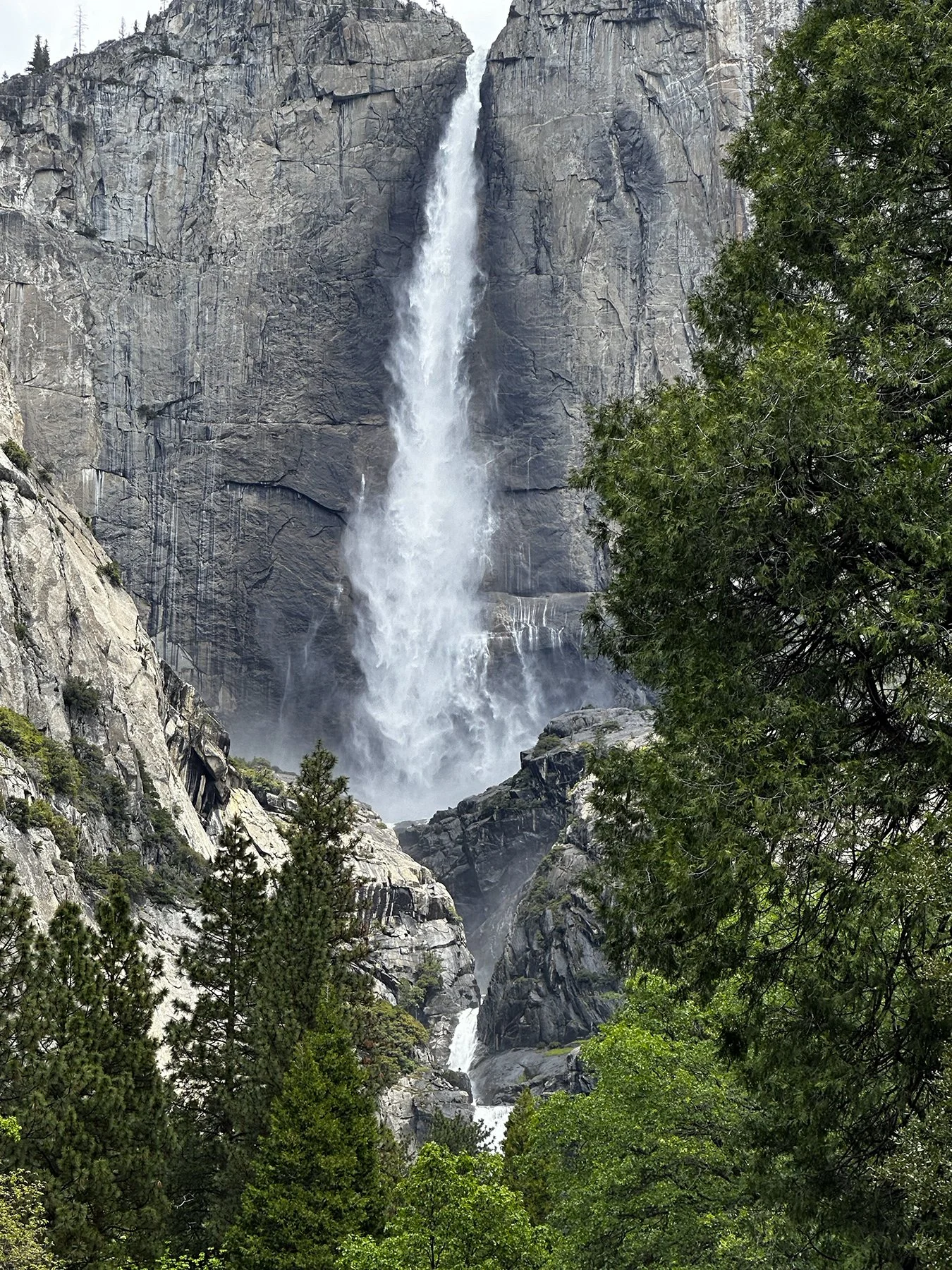
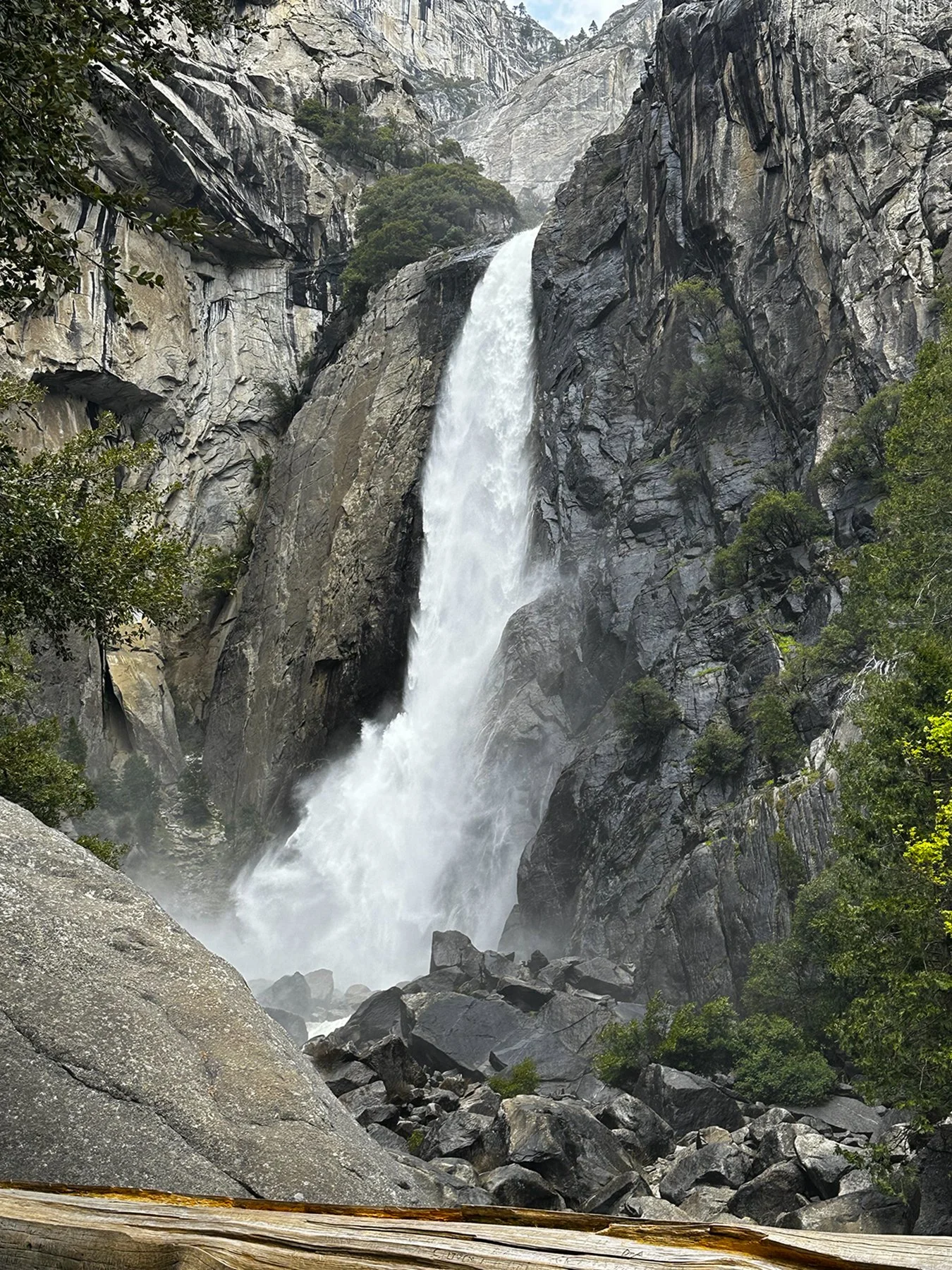
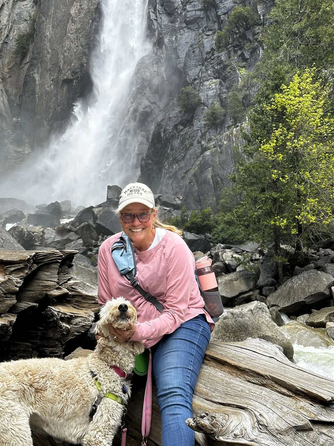
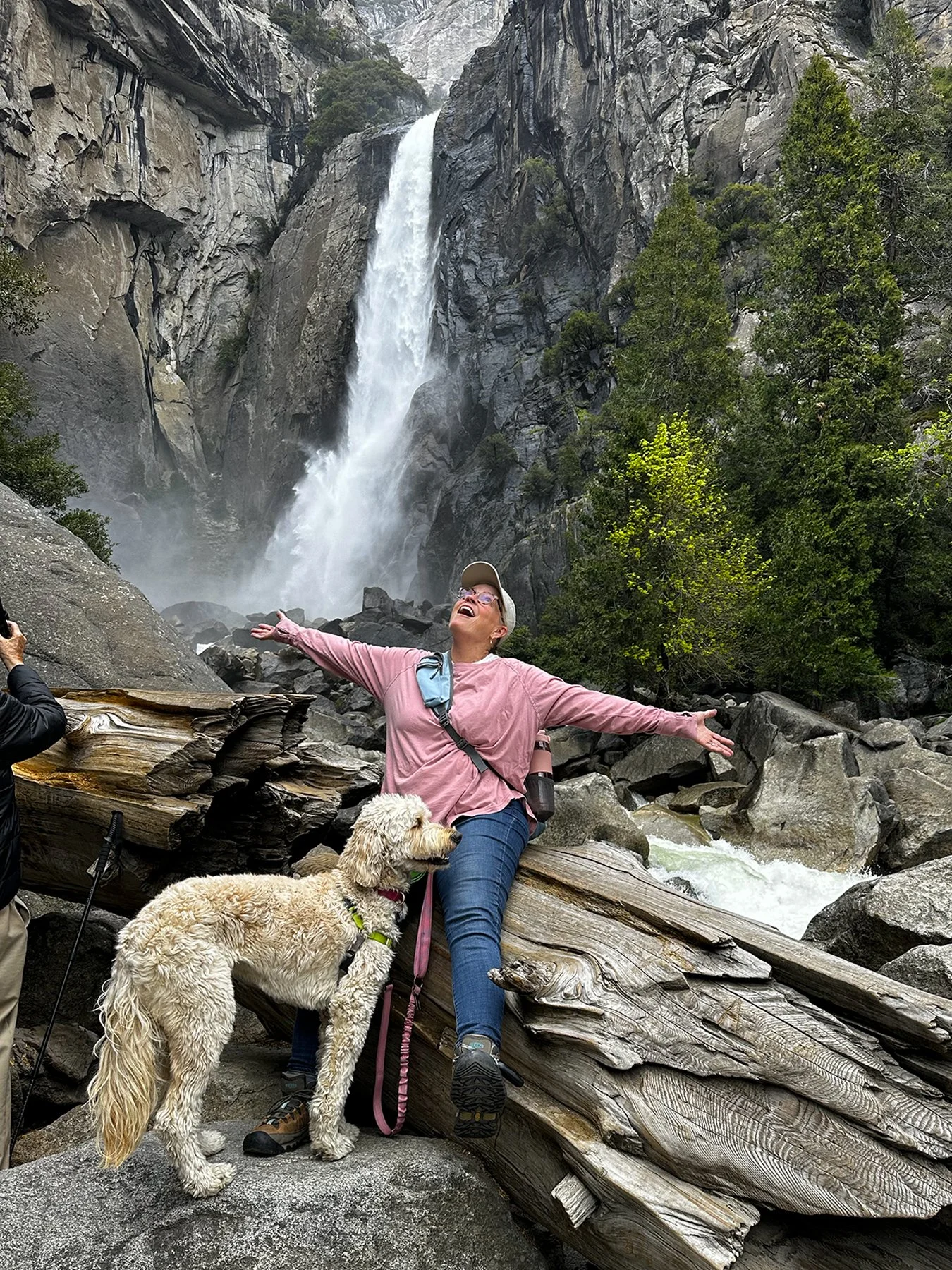
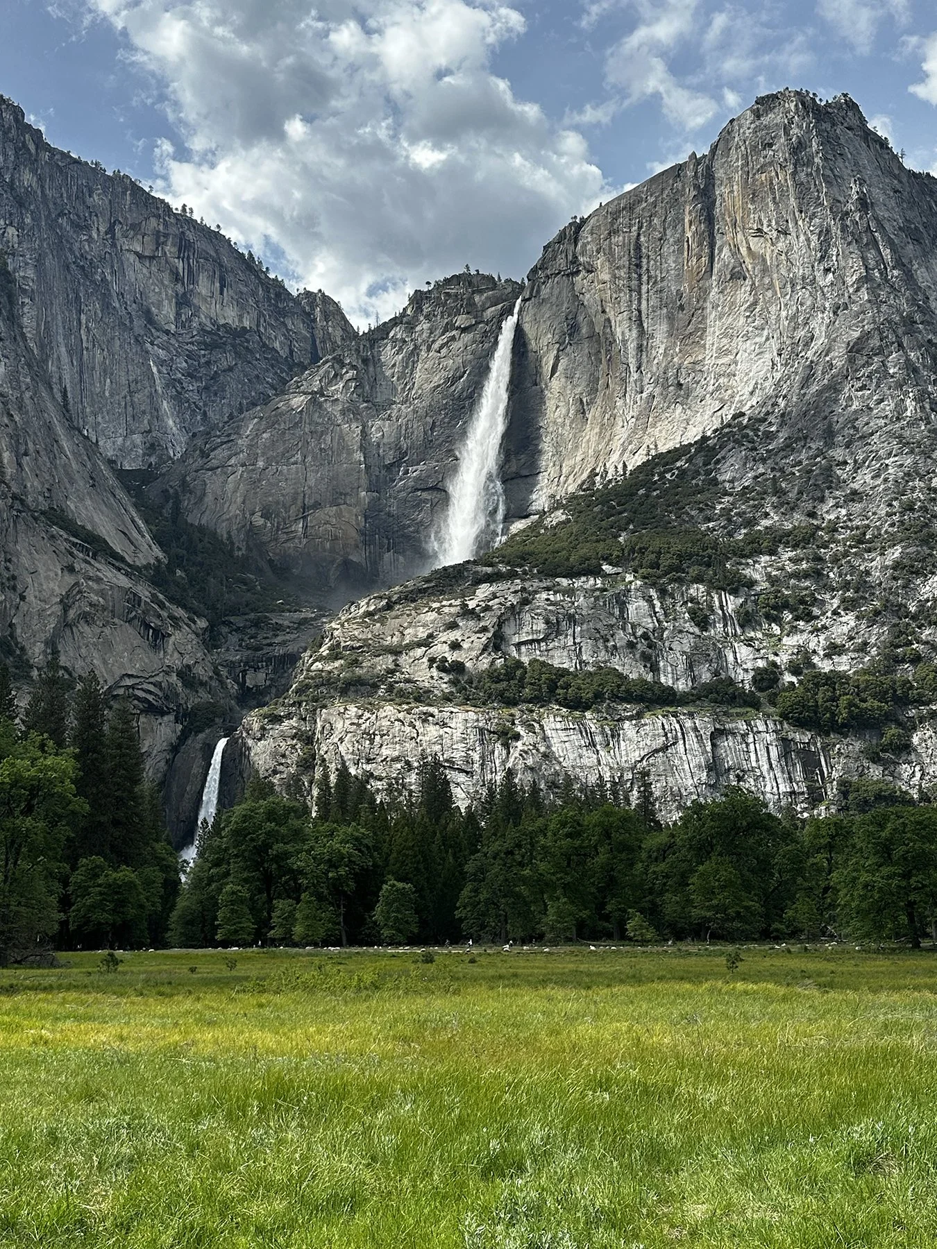
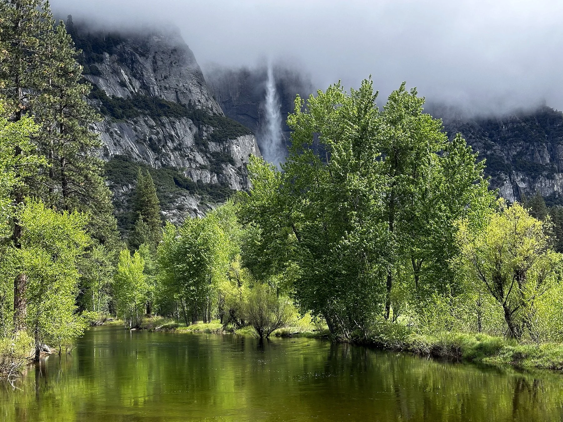
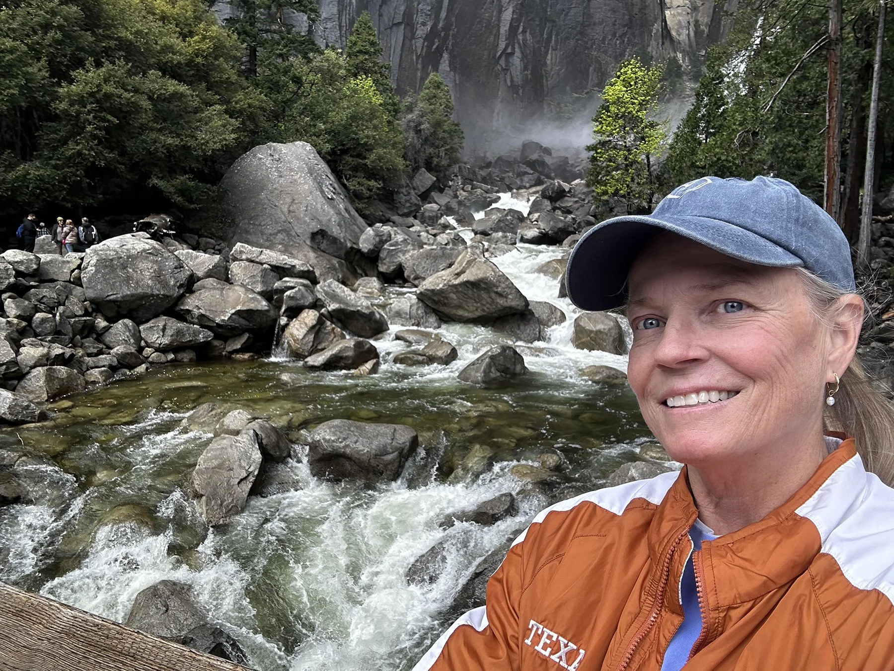
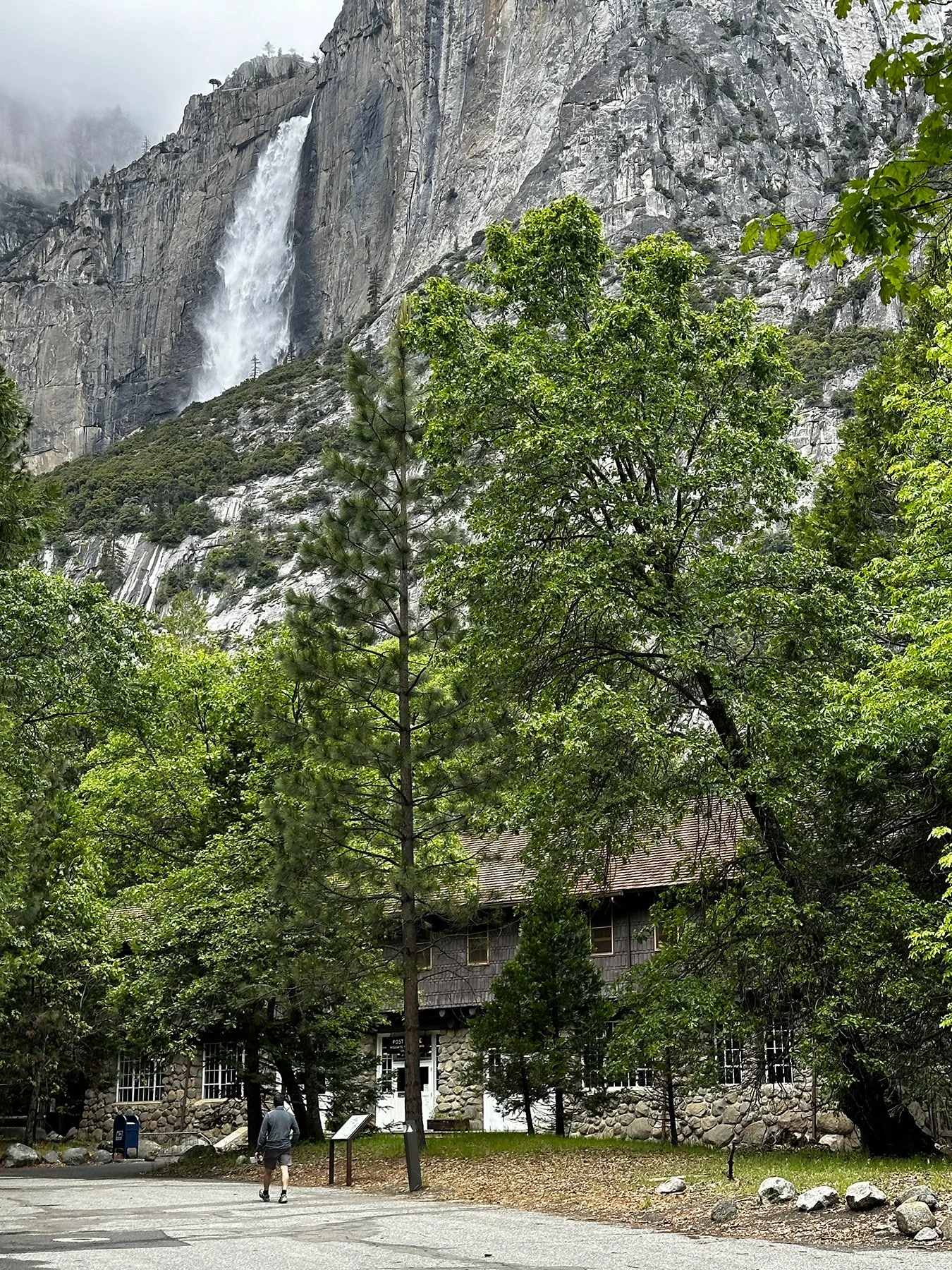
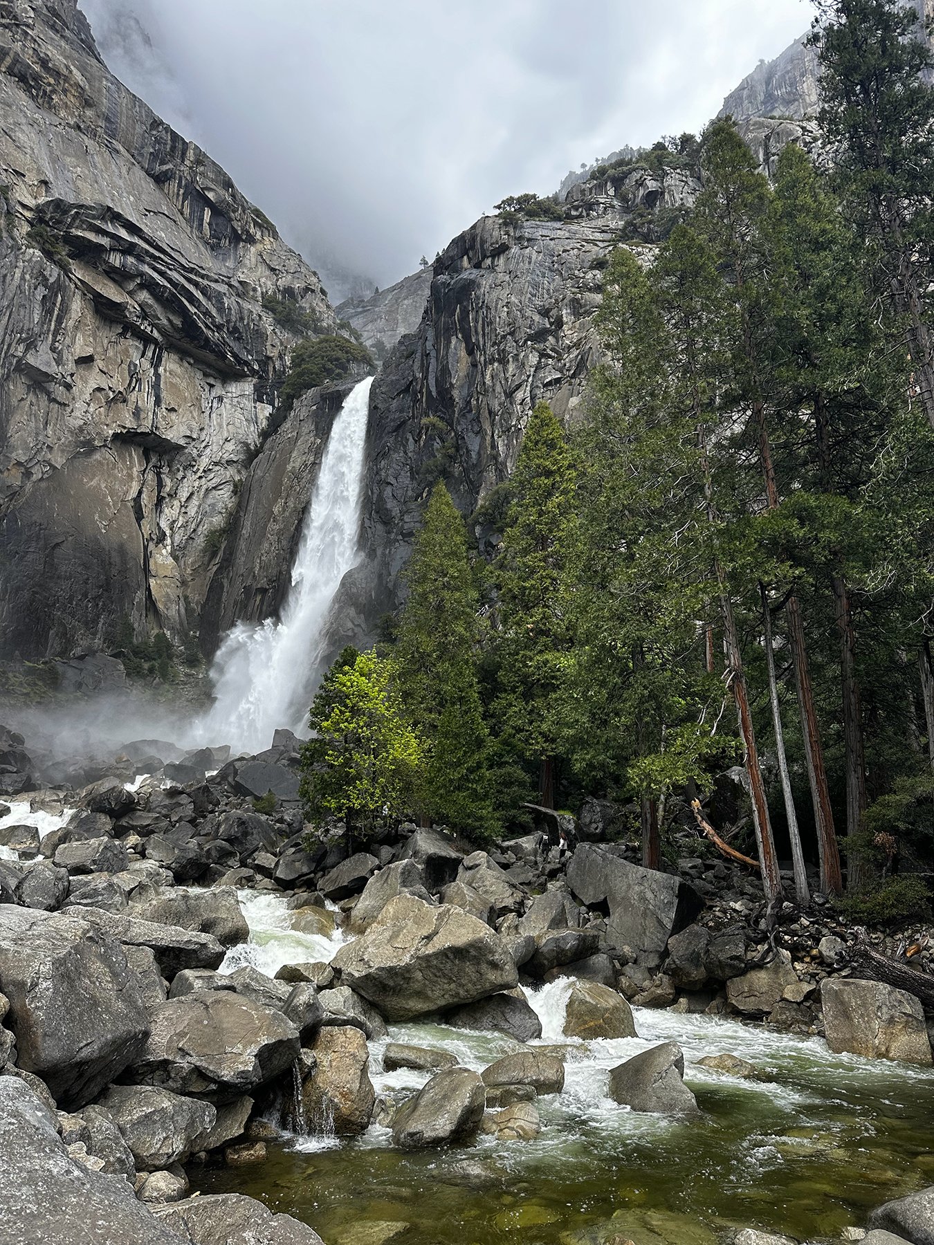
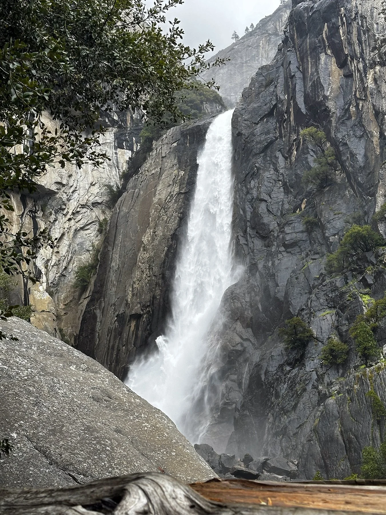
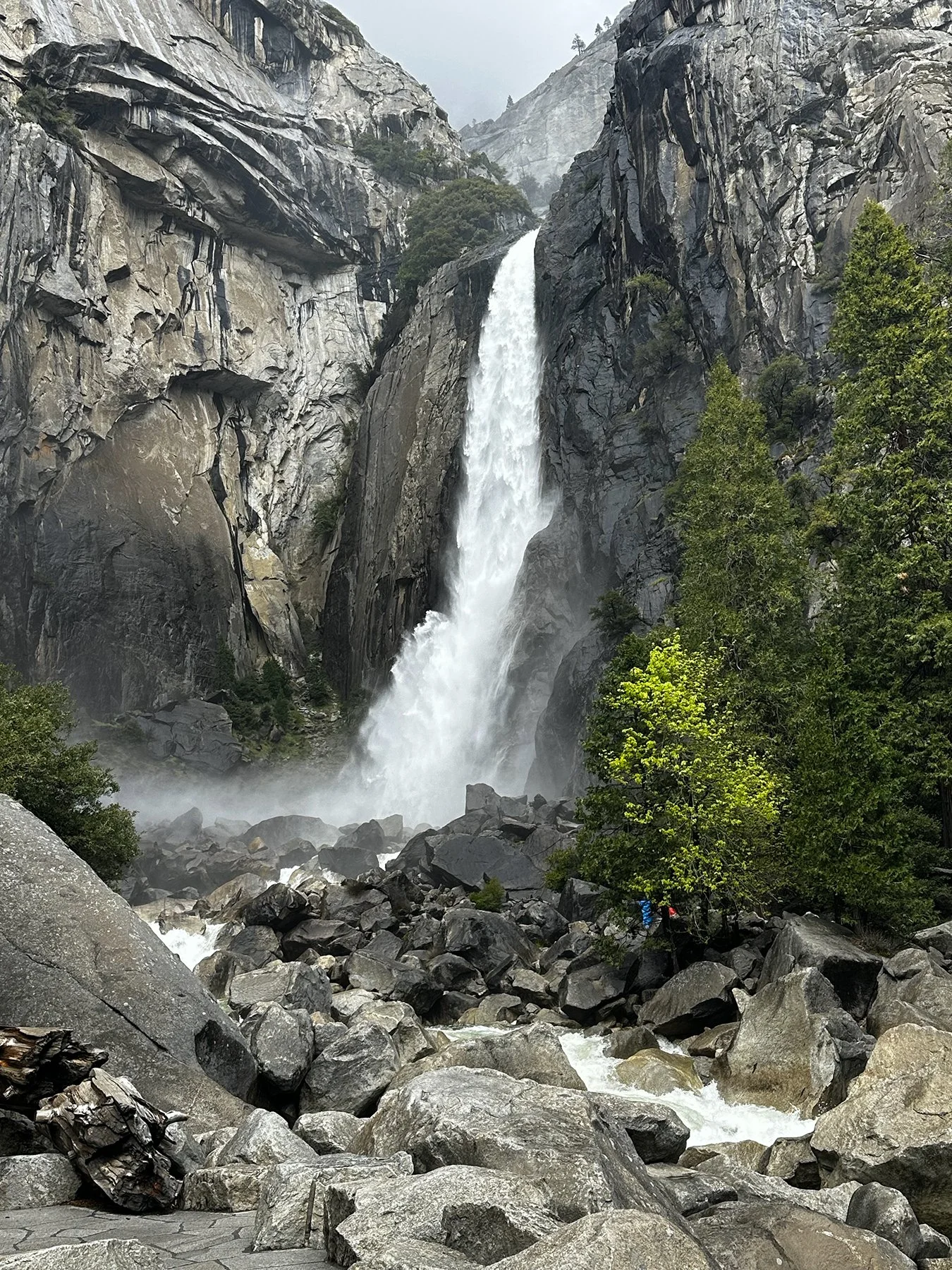
Half Dome is an iconic granite monolith—8,800+ ft!!—and is renowned for its unique, sheared-in-half shape and the thrilling, steep cable hike to its summit (or so I hear). I read that it offers a 360-degree view at the apex, challenging hikers with a 16-mile, 4,800-foot ascent, including a near-vertical, 400-foot, 45-degree granite climb using steel cables. (No, I did not try to climb it!) It is considered Yosemite's most popular rock formation.
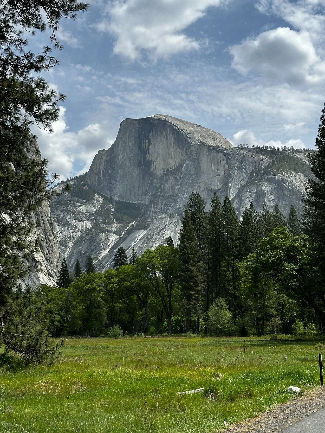
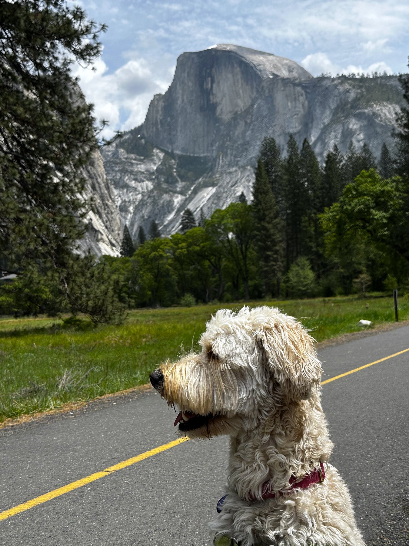
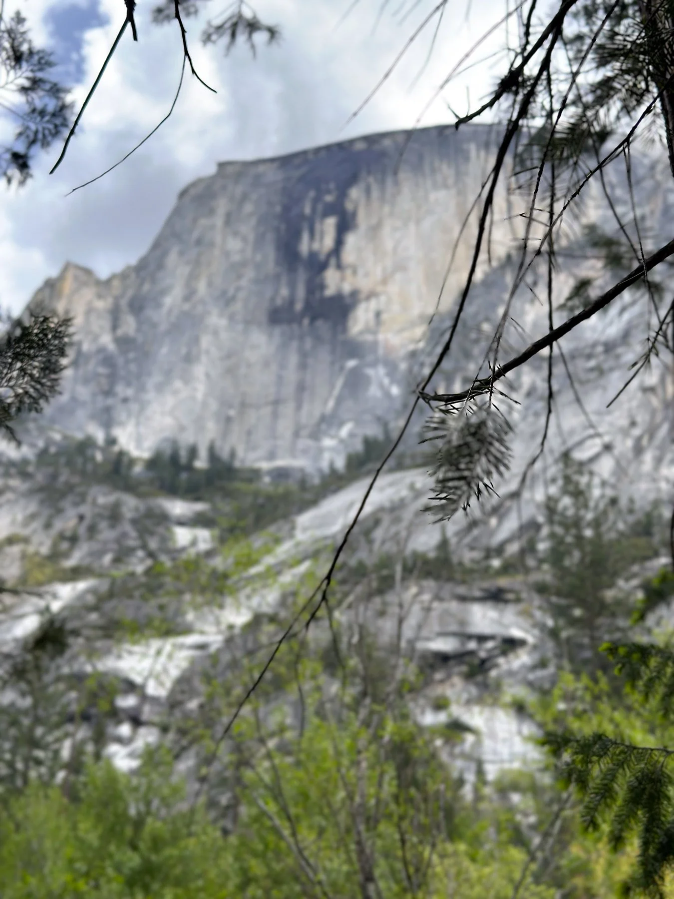
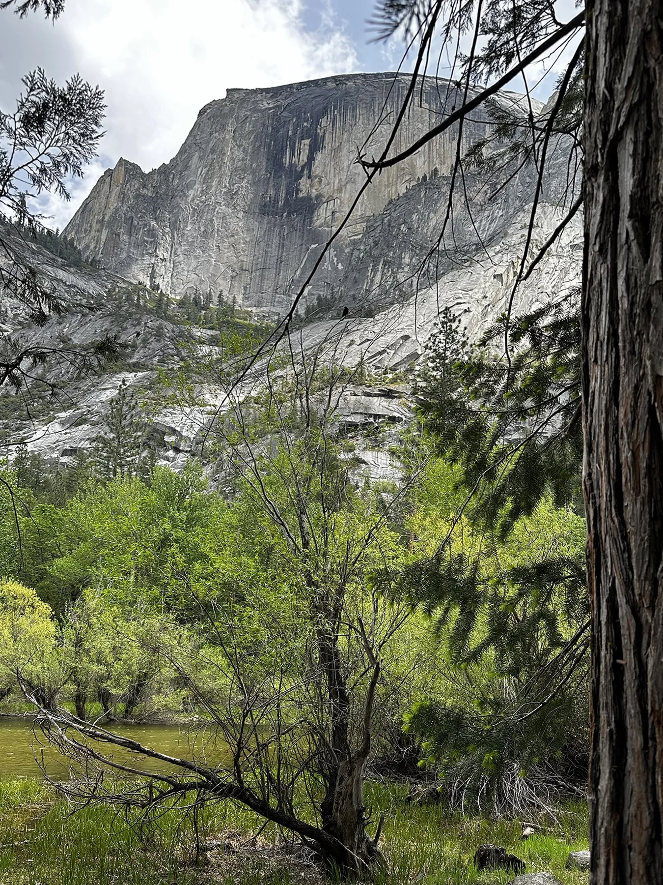
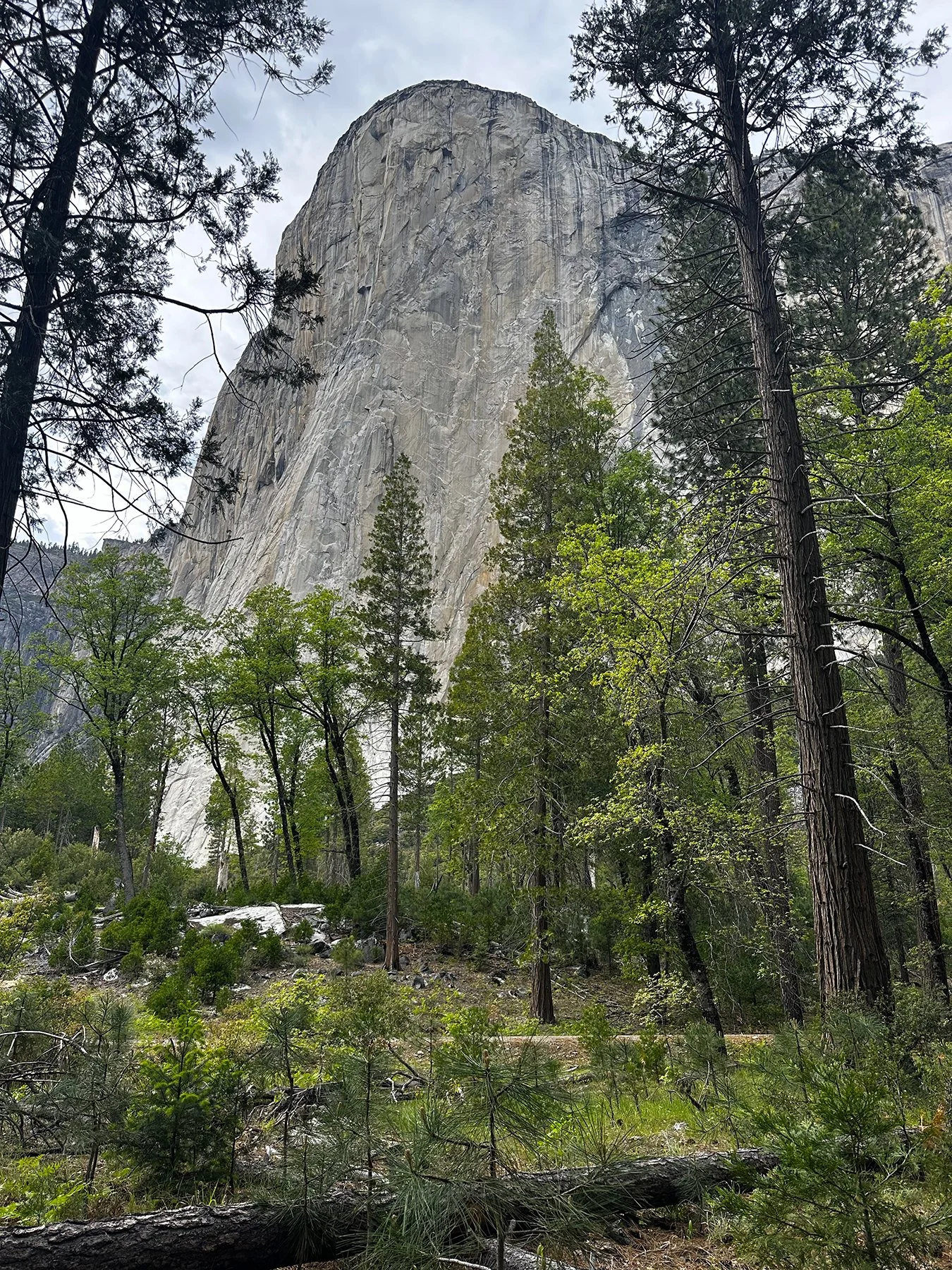
El Capitán, the largest granite monolith in the world, is known as a mecca for rock climbing. Climbers from all over the world come to train on the 3,000-foot walls of El Capitán, and was once considered the hardest climb in the entire world. (Again, no, I did not try to climb it!) ;D If you haven’t seen the film Free Solo, I’d encourage you to check it out. Can you imagine scaling this behemoth? I mean, this picture is tiny, but the rock is GIGANTIC!
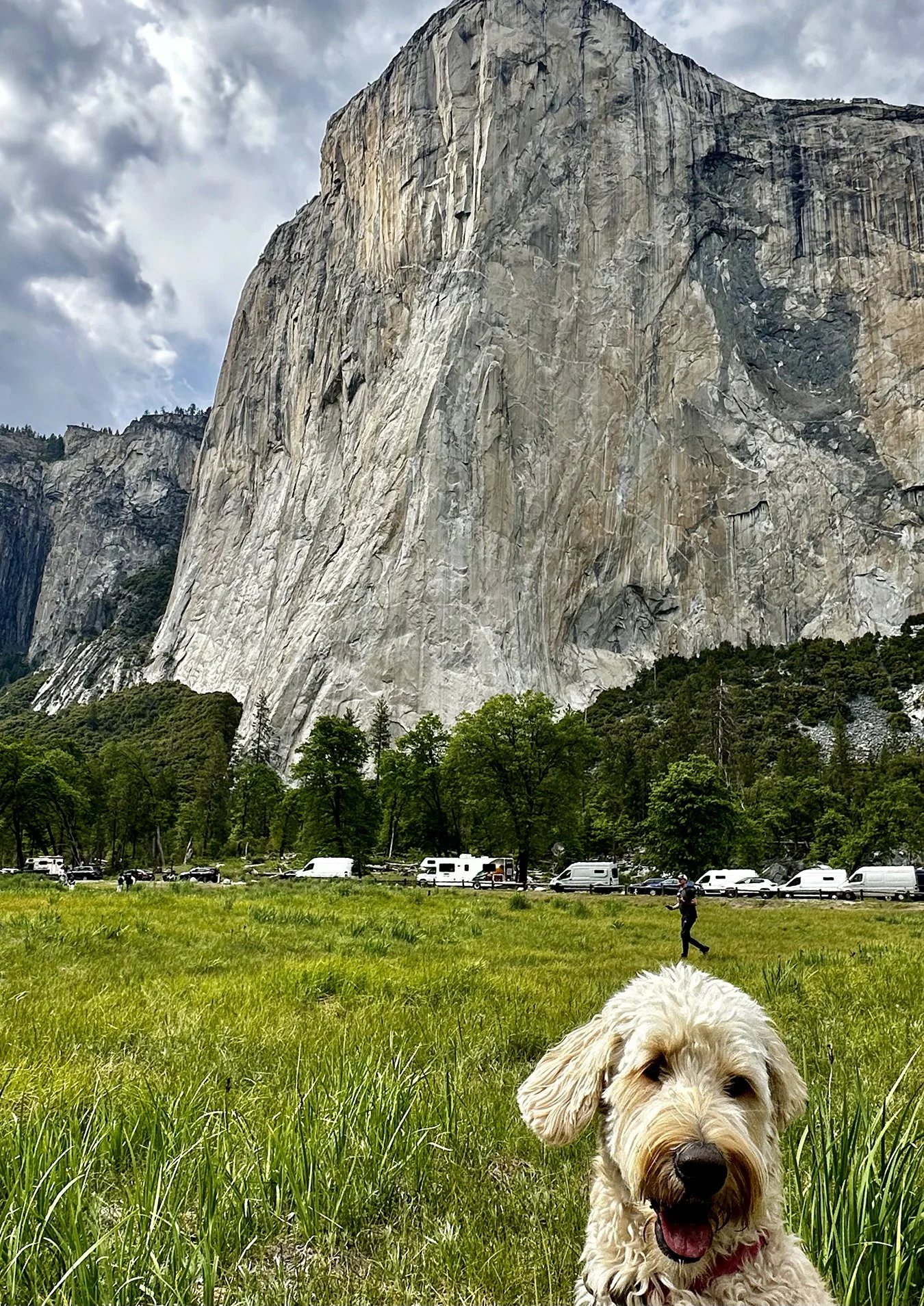
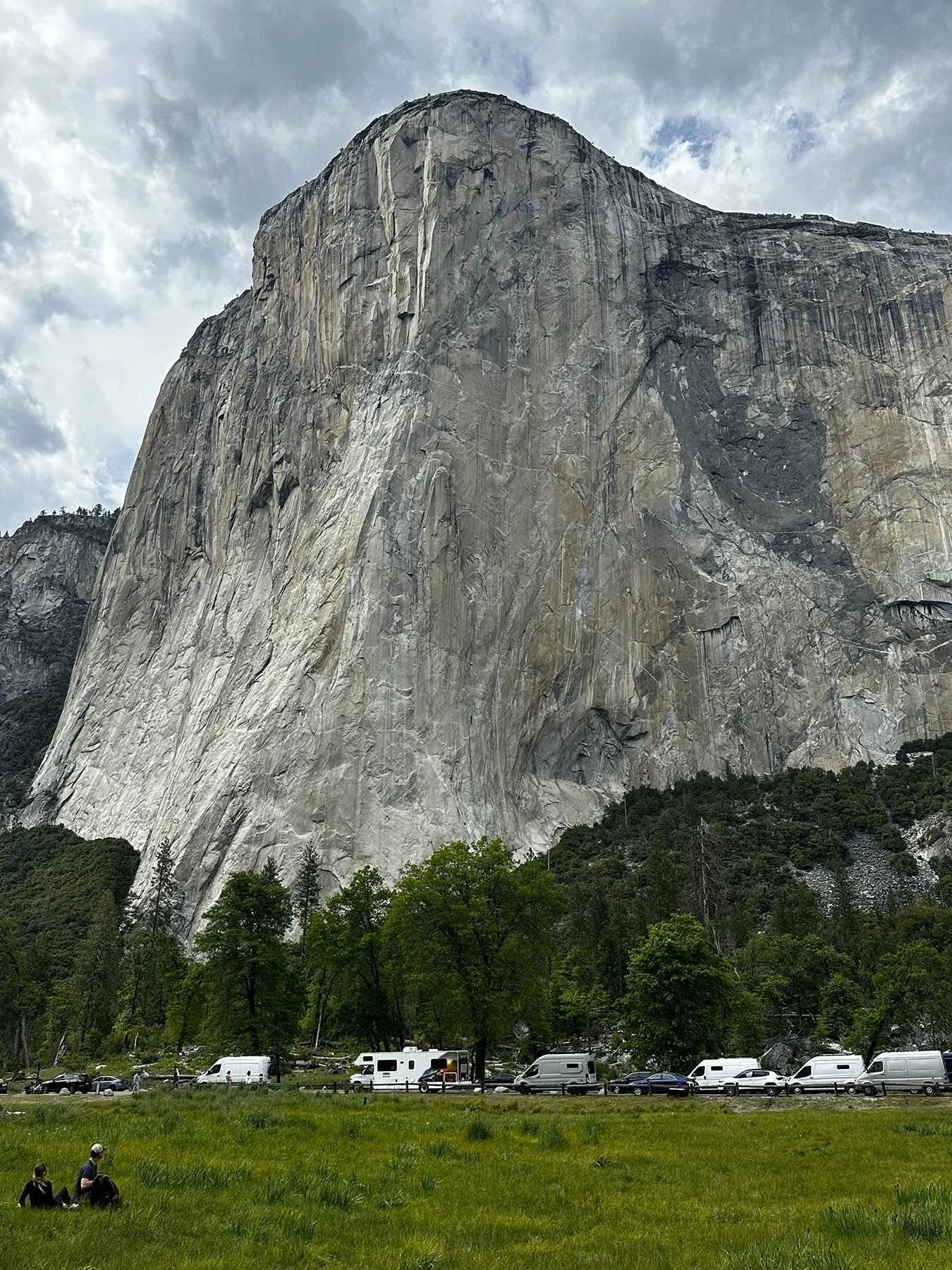
Unfortunately, two of the top attractions Yosemite is known for were not yet open—the only downside to coming during the shoulder season in late April. So Tuolumne Meadows and Glacier Point will have to wait until next time. Something to look forward to x 10,000!!!
Overall, Yosemite was even more beautiful than I imagined. It has soared to the top of my list of all my lower-48 travels so far! But next week, I’ll be heading to Lake Tahoe, so …
si-kwoi-uh
NOUN. Either of two giant Californian coniferous trees, Sequoia sempervirens (redwood) or Sequoiadendron giganteum (formerly Sequoia gigantea) (big tree or giant sequoia): family Taxodiaceae
This week, we are headed to not one, but two national parks—Sequoia and Kings Canyon, also known as the “Land of Giants”—that are actually managed by the National Park Service as one unit. I’m so very happy to be in the mountains again! Rising from 1,300 feet to 14,494 feet (the highest elevation in the lower 48) these two parks protect a spectacular range of elevations. They encompass steep roads, trails that climb mountains, and cold rivers that plunge down from epic heights. There are dramatic shifts from warm foothills to cool forests to the cold High Sierra. And I experienced them all.
I mean, y’all. I just can’t. Have you ever been to the Sierra Nevada Mountains? Or ever seen one of the world’s most majestic trees up close and personal? I’m not sure what took me 62 years, but man am I glad I finally got here! What a treat! Our first day at Sequoia NP was the perfect introduction to these glorious mountains with their giant trees. Though it was rainy and foggy on our 29-mile, 2-1/2 hour, one-hairpin-after-another drive up to our starting point—which took us past some waterfalls as well as Tunnel Rock (see pic)—I was super excited to see some of the most beautiful giant trees God ever made. And once we got above 6,000 feet? That rain turned to sleet and snow. AWESOME.
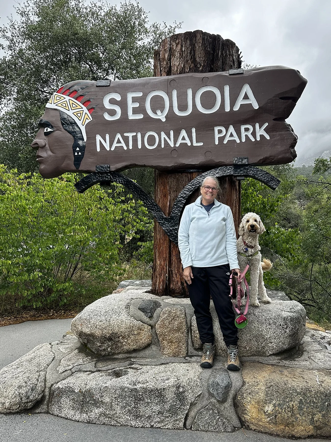
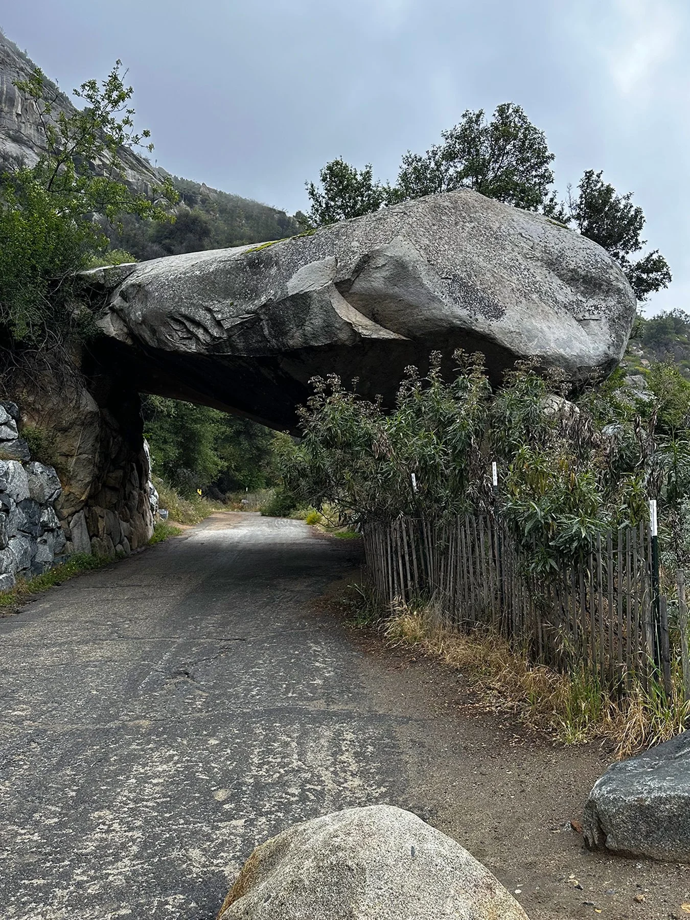
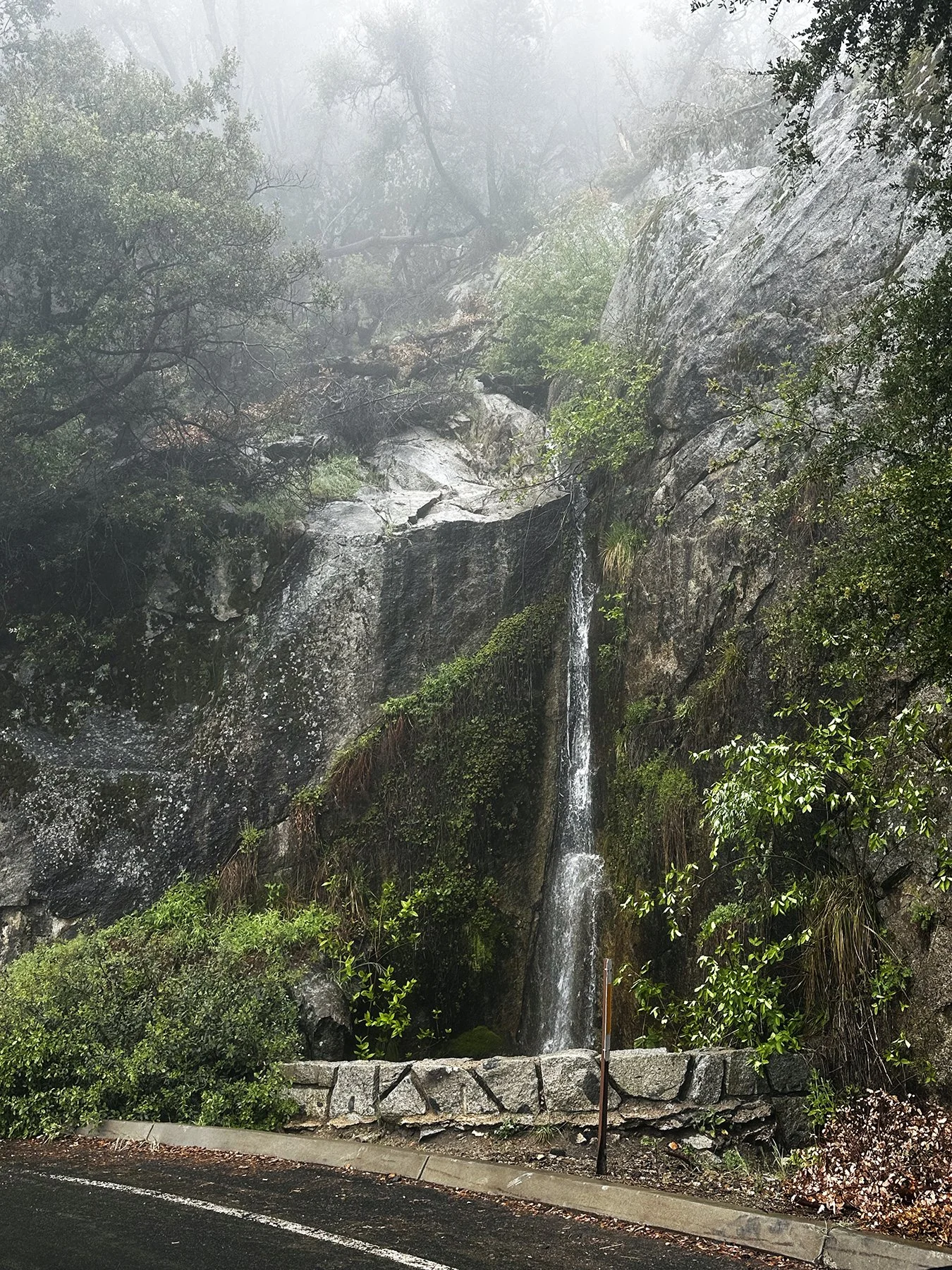
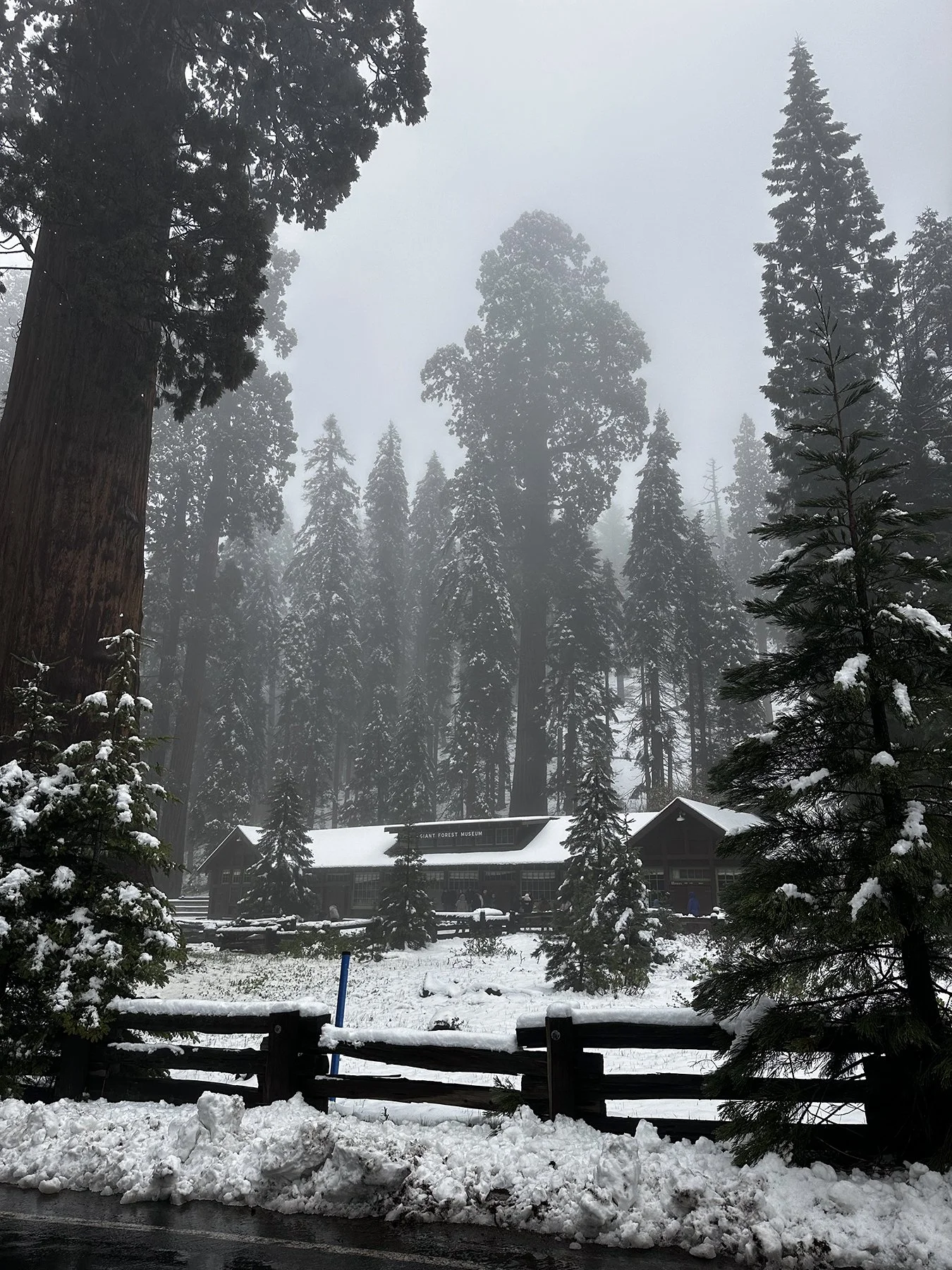
I was delighted to discover that one of the many picturesque roads in the park—Crescent Meadows Road—was closed due to snow and ice. “Why is she so excited?” you might ask? Because that means that Maisie and I could walk the entire road and not worry about getting run over! Dogs aren’t allowed on any of the trails here, so this was a nice opportunity to really stretch our legs. Was I going to let snow, ice, and temps in the 30s slow us down? Heck no! It honestly made it all the more magical. I’m really glad I wore my hiking boots this time, though, as we trudged through miles of partly melted snow and sludge. I even had to break out my ski jacket. Squuueeeee!
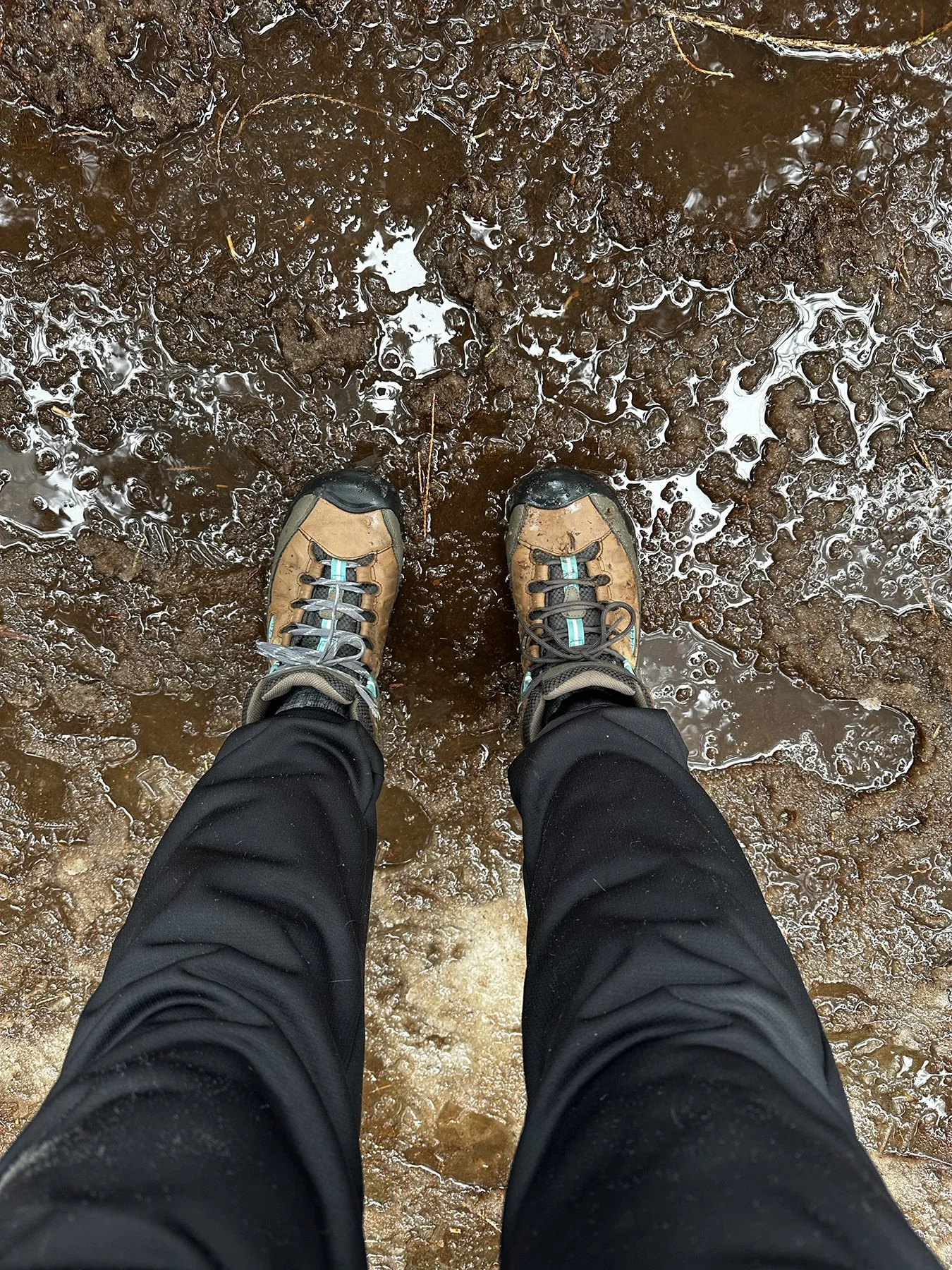
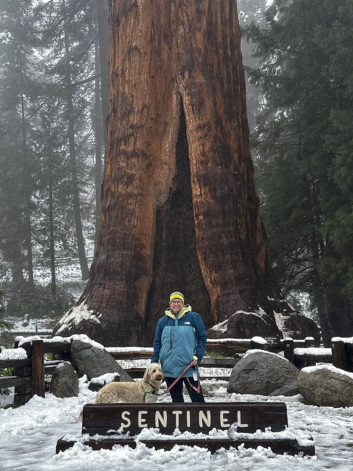
Our destination was Moro Rock (elev 6,726), 1.9 miles from our starting point at Giant Forest Museum. There were a few other brave souls traversing the snow and ice on that cold but beautiful day, but nothing like the immense crowds I’m sure are here during the summer months! When we finally got to Moro Rock (a granite dome) we discovered that to get to the top, you have to climb over 350 steps. These were originally built in 1917! And now were covered with melted snow. But, hey, if you’re only here once, you might as well try, right?
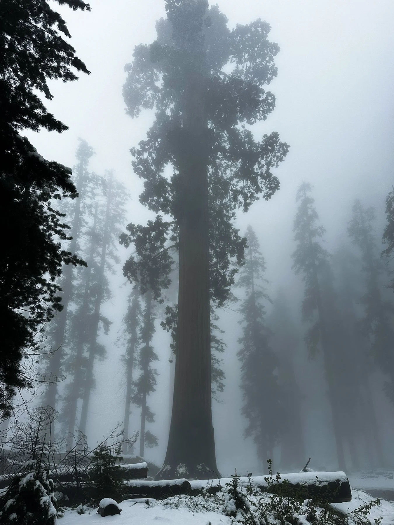
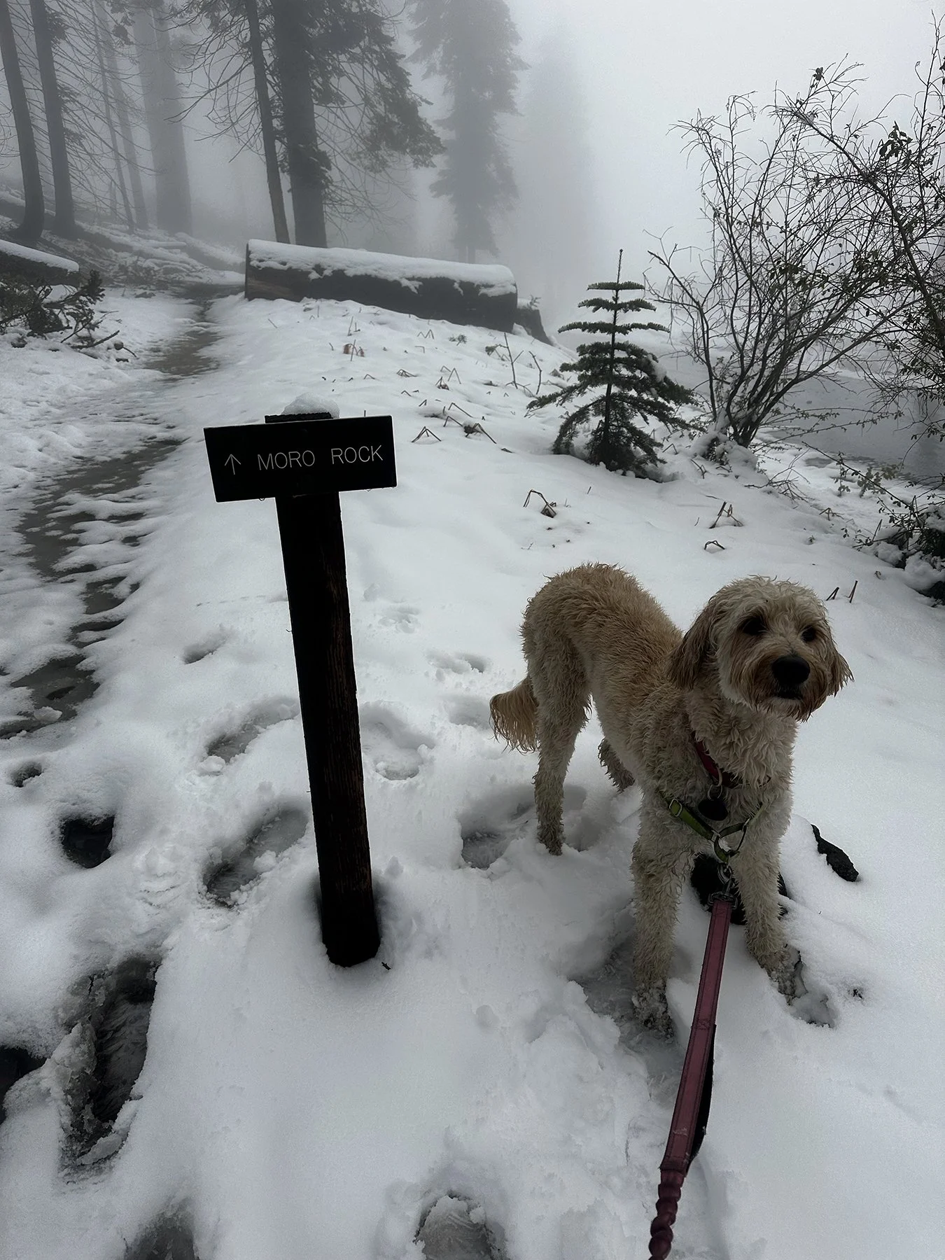
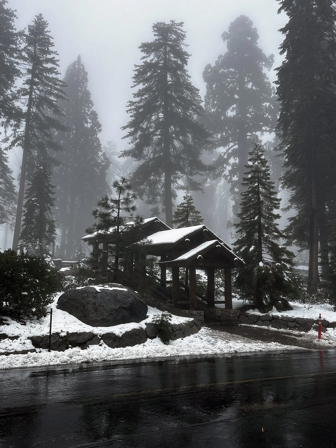
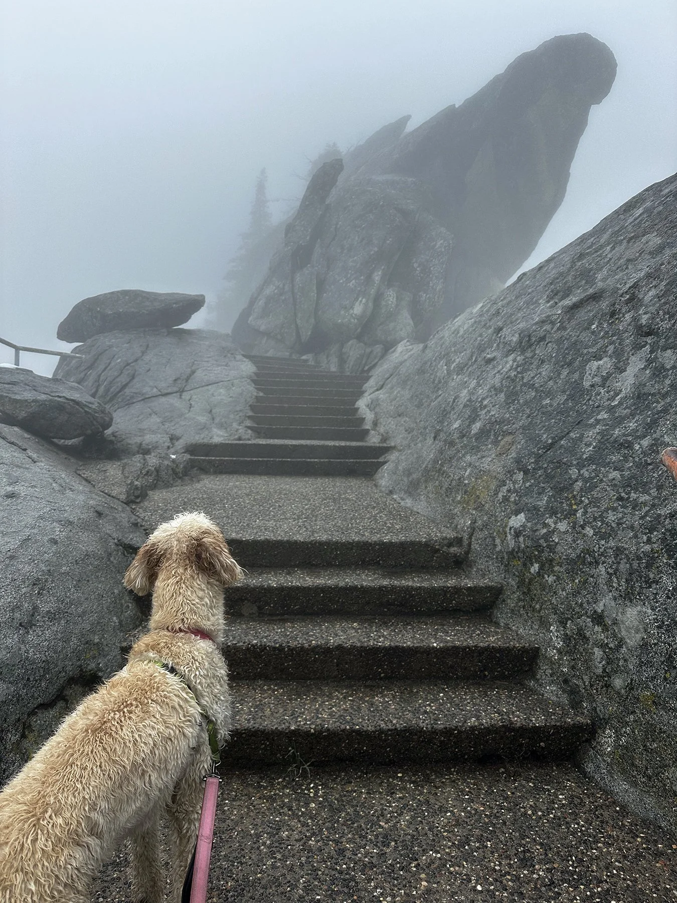
Well, we got about 139 steps up (because, yes, I counted) and, despite my propensity to just push through and not overthink what I’m doing, I took a pause.
Were my legs dead?
They were getting there.
Were we only halfway through the entire hike?
Yep.
Was it so foggy that we couldn’t see anyway?
Yeah.
So you can see how I talked myself out of us going all the way to the top, even though it’s renowned for offering breathtakingly broad views of the park and lands beyond—glacially carved peaks, the tops of giant trees, chaparral-covered hillsides, and the great Central Valley to the west. We wouldn’t be able to see them through the fog anyway, I’m sure. And Maisie wasn’t really supposed to be on those steps (oops!) So we enjoyed the rest of our snow-trodden trip back to the museum, even taking a bit of a wrong turn LOL.
There’s still so much more to see and do. Next, we headed on over to the Giant Forest, the largest of the unlogged giant sequoia groves which contains more exceptionally large sequoias than any other grove. The General Serman Tree is the star of the show; it’s 2,100-years old(!!) and is considered the world’s largest living tree. It’s 275 feet tall, with a 36-foot base diameter—and it is still growing! According to the National Park Service, the trunk of General Sherman alone weighs nearly 1,400 tons. That is roughly equivalent to 15 adult blue whales, 10 diesel-electric train locomotives, or 25 military battle tanks! In just one year, an average mature giant sequoia tree adds enough wood to make a sixty-foot tall, three-foot diameter oak tree!
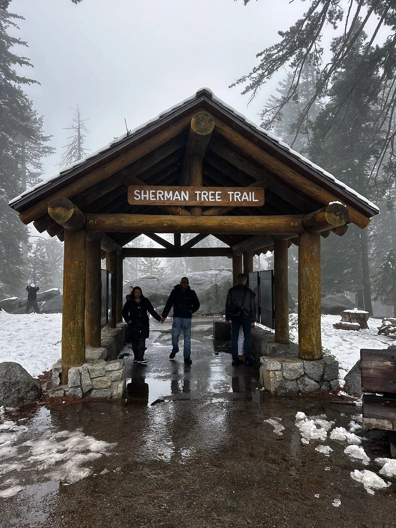
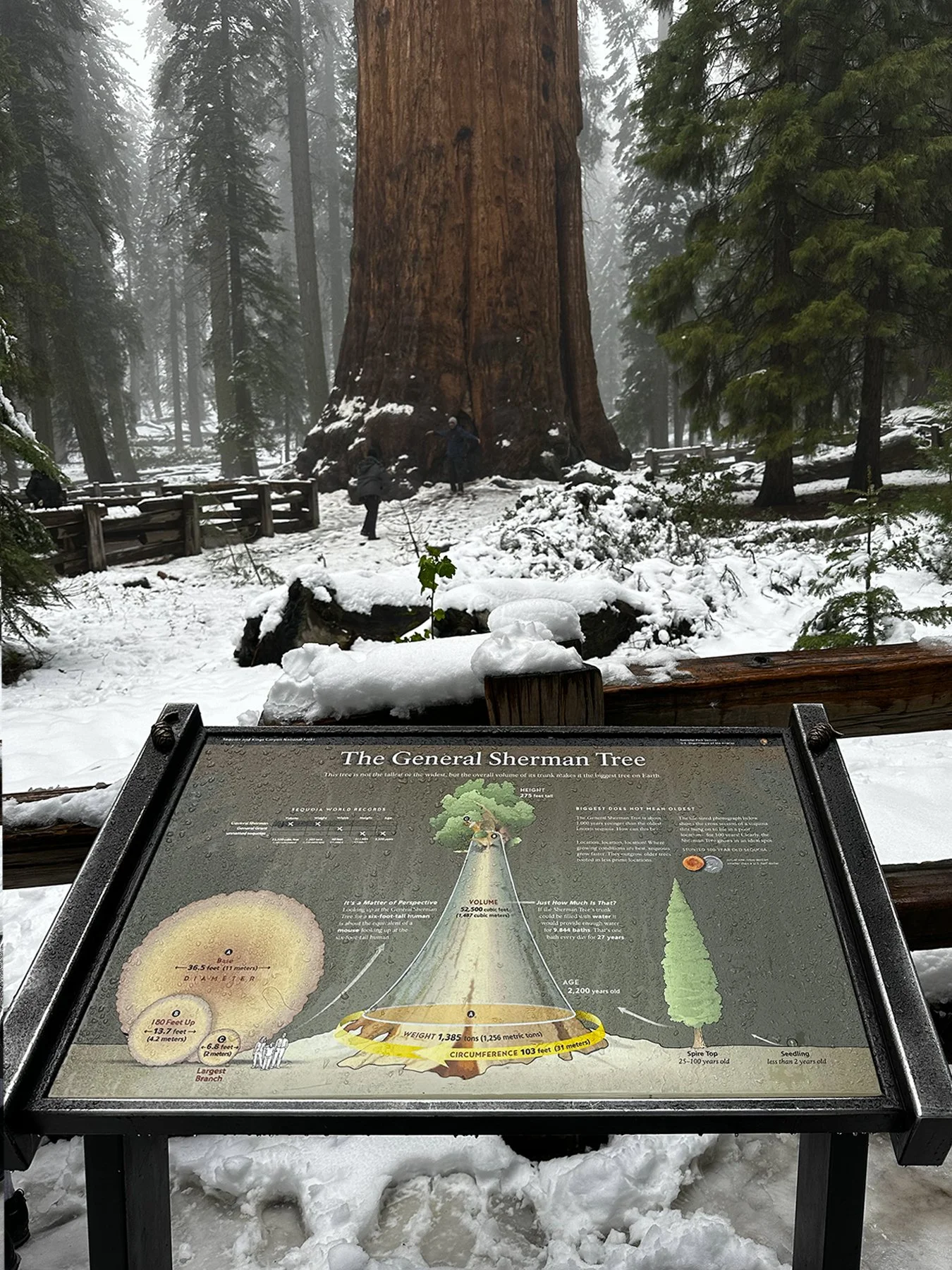
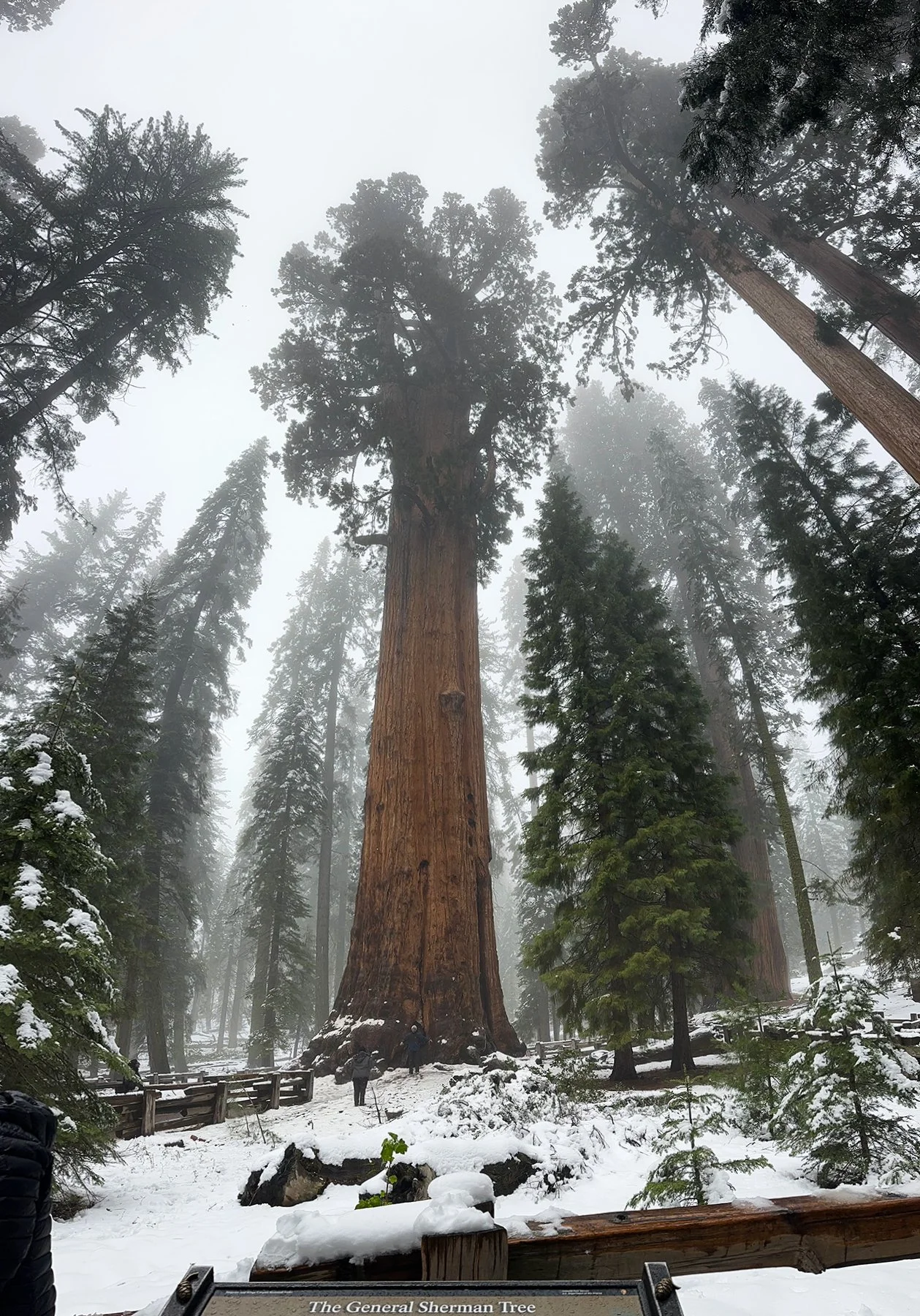
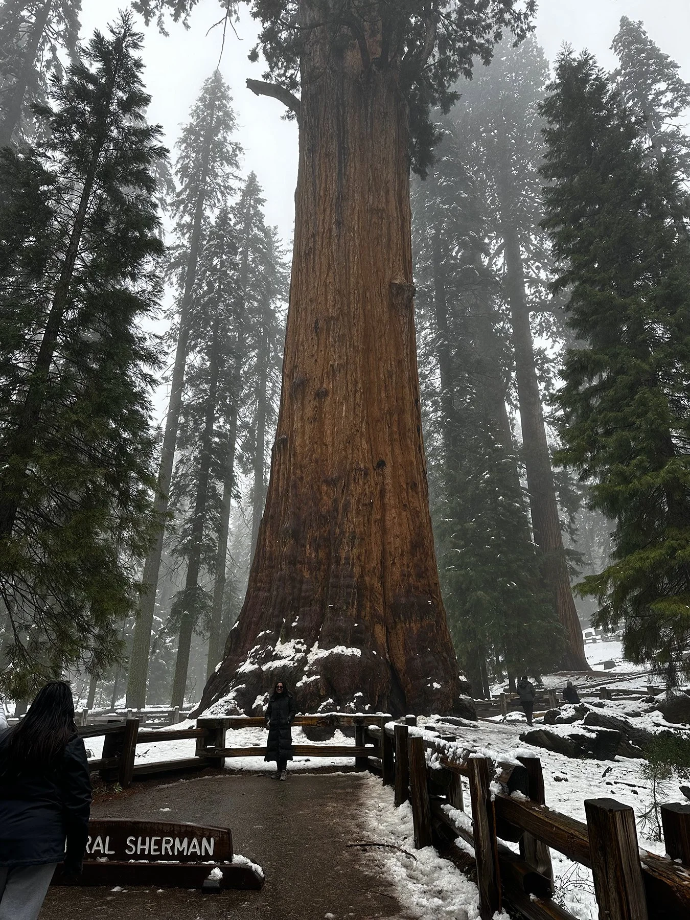
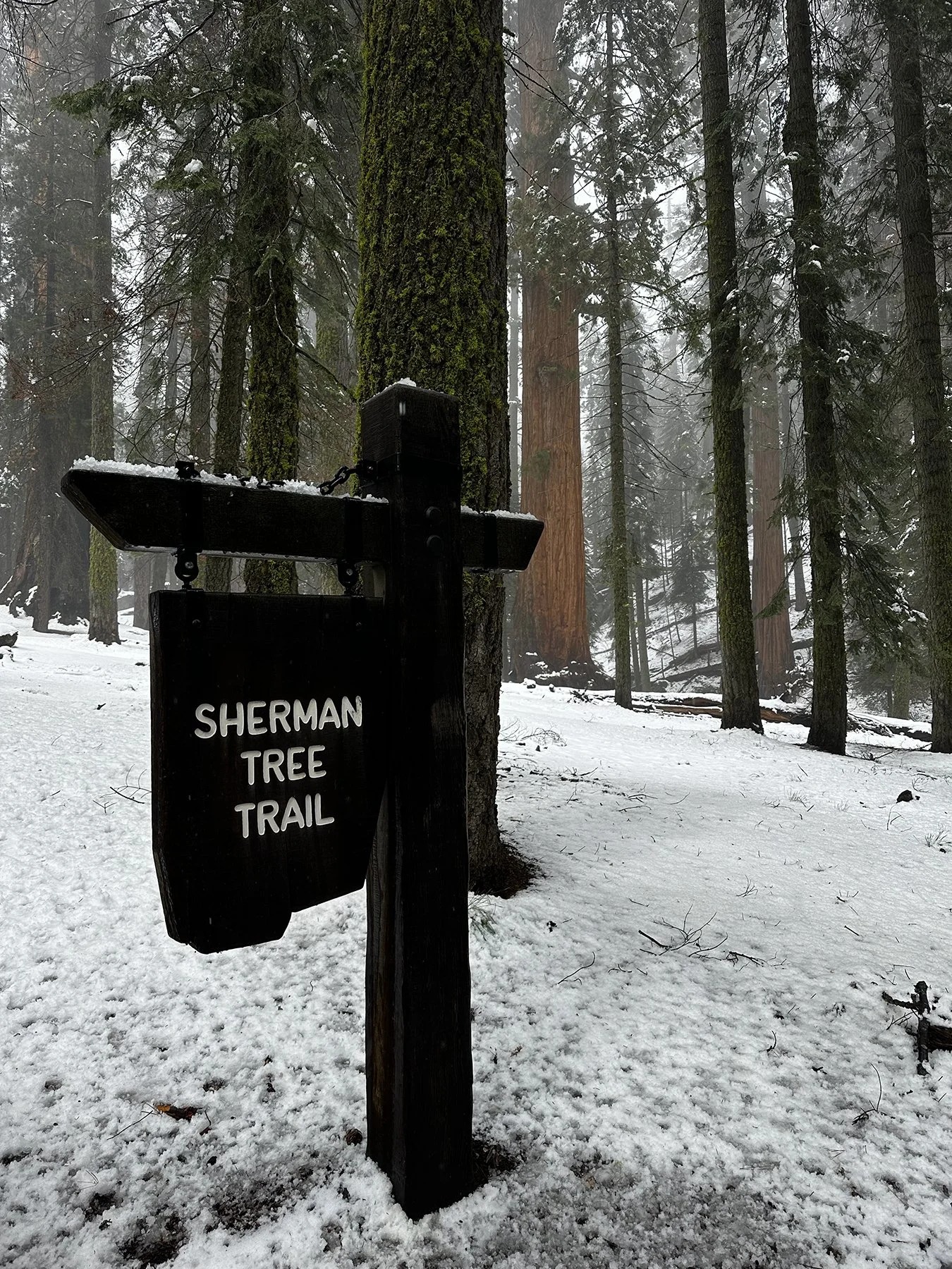

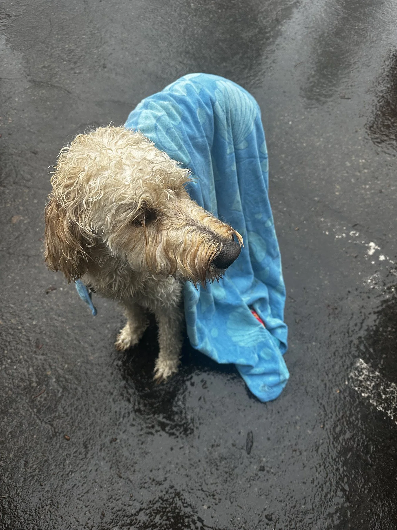
Wow, our day sure was complete. Even though I ‘only’ walked 16,000 steps, I’m gonna say it counts for more since most was through snow and ice. Right?!
Day Two: Kings Canyon NP
Today presented us with another great opportunity to explore the Sequoia National Forest. As our RV park was on the southern end of Sequoia NP, we had to drive quite a ways to get to Kings Canyon on the north end. As a crow flies, it’s probably only 30 miles, but when you take a narrow, 2-lane (at most), windy road that seemed to have NO straight parts (seriously!), it takes more than an hour-and-a half. The route I chose was hardly traveled at all (it was not in the park), and I tried not to let my mind wander into the territory of ‘what happens if you blow a tire’ or breakdown some other way? I mean, not really a soul around. I guess sometimes you just gotto do what you gotta do, so I soldiered on. And was rewarded by another glorious giant sequoia grove, where there were humongous pinecones, too (biggest I’d ever seen; see pic). Next I came upon a fallen sequoia—and walked through it. So cool!
I had to leave Maisie in the car for the 0.5-mile hike to the General Grant Tree. In Kings Canyon, this tree is 267 feet tall and a whopping 103 feet around. Its massive trunk makes it the third largest tree in the world, by volume. And at 40 feet in diameter at ground level, it is the world’s widest known sequoia. Think about that for a minute—40 feet wide at the base of its trunk!! And it is not nearly the oldest—it is 1,500 years younger than the oldest-known sequoia.
Fun Facts: The General Grant Tree is so wide it would take about 20 people holding hands to make a complete circle around the base. President Calvin Coolidge proclaimed this tree to be the Nation’s Christmas Tree in 1926. In 1956, President Dwight D. Eisenhower designated it as a National Shrine a living memorial to those who have given their lives for their country.

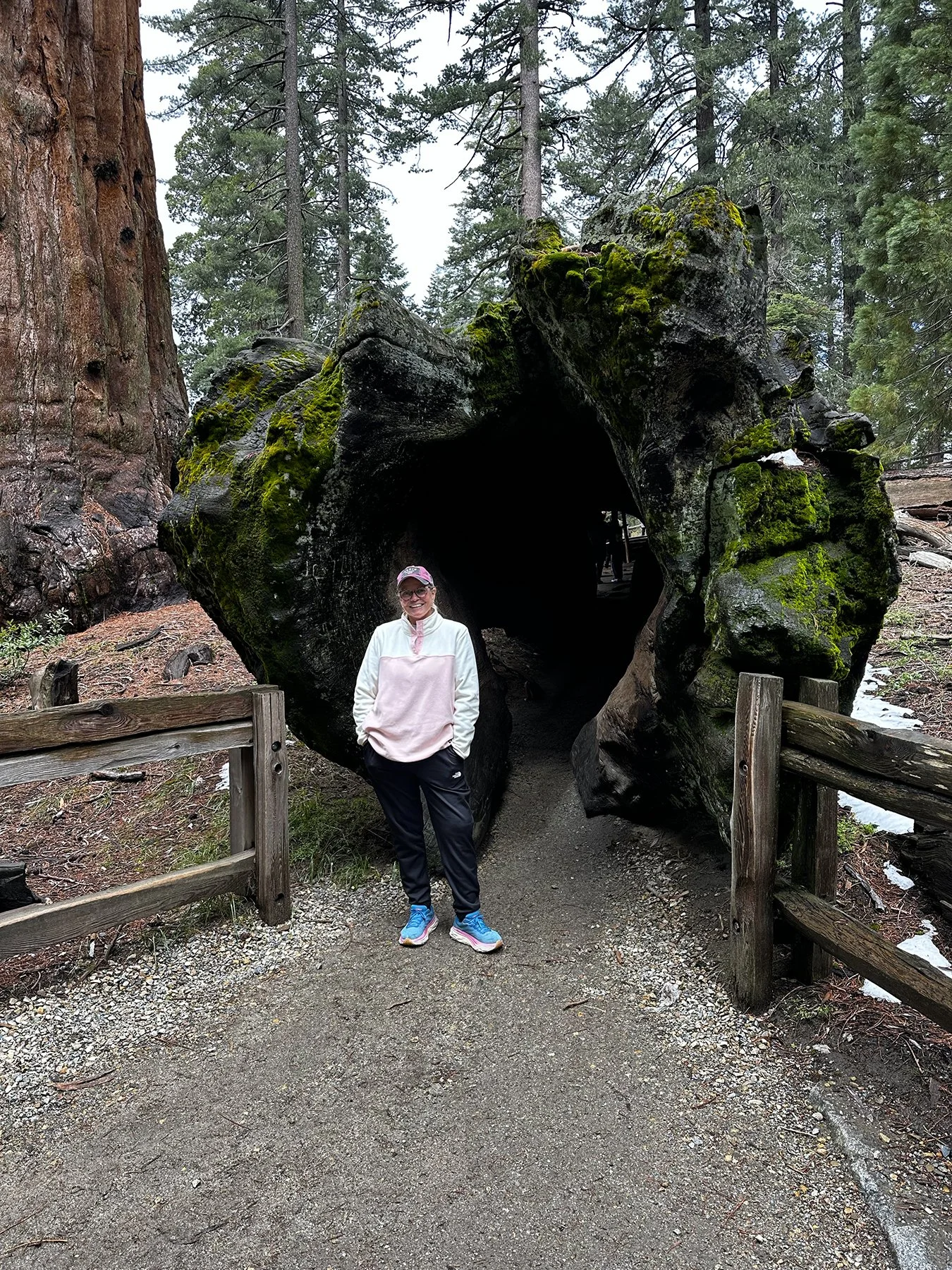
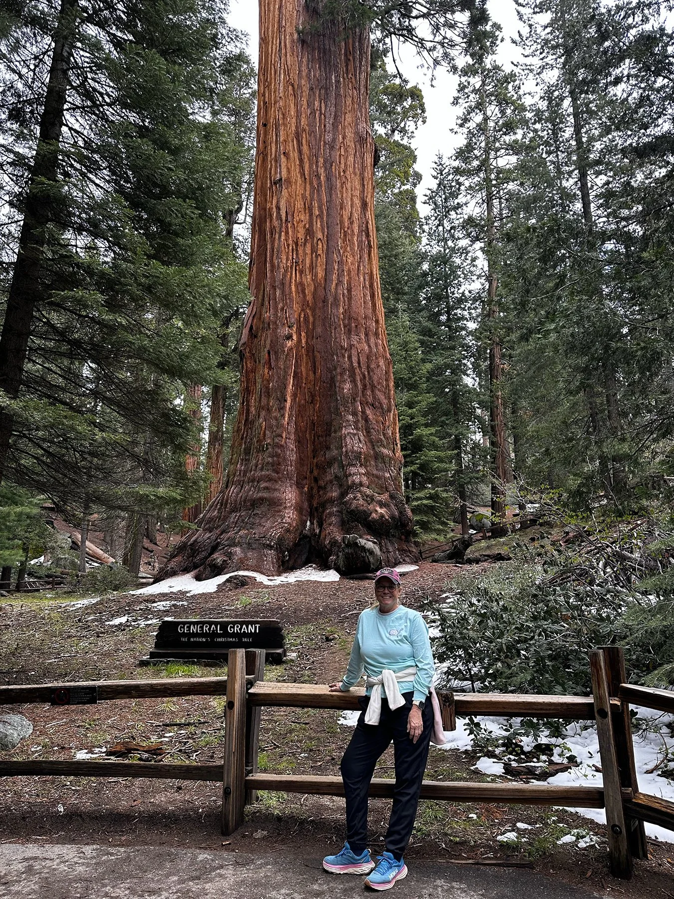
Again with limited opportunities to hike some amazing mountain trails in Kings Canyon because of the no-pets rule (which I totally understand, BTW!), we got great advice from a ranger and headed over to Hume Lake, just a six-mile detour off the main road on the way down to Cedar Grove on the canyon floor. She told us of a wonderful trail all the way around the lake, and I fell instantly in love! I mentioned in my blog during last year’s trip about how much I LOVE LOVE LOVE mountain lakes, having terrific childhood memories visiting our friend’s summer home on Indian Lake in Pennsylvania. The Hume Lake area was so beautiful! I discovered a Christian Camp that calls Hume Lake home—it’s called Hume Christian Camps—they host summer camps for youth and younger kids, women’s retreats, men’s retreats, family camps, etc. What an ideal location! In another lifetime I could see myself living in a place like this and volunteering at the camps and conferences. (My happy place :D.) I’ll have to tell the rest of the Hume Lake story in photos:
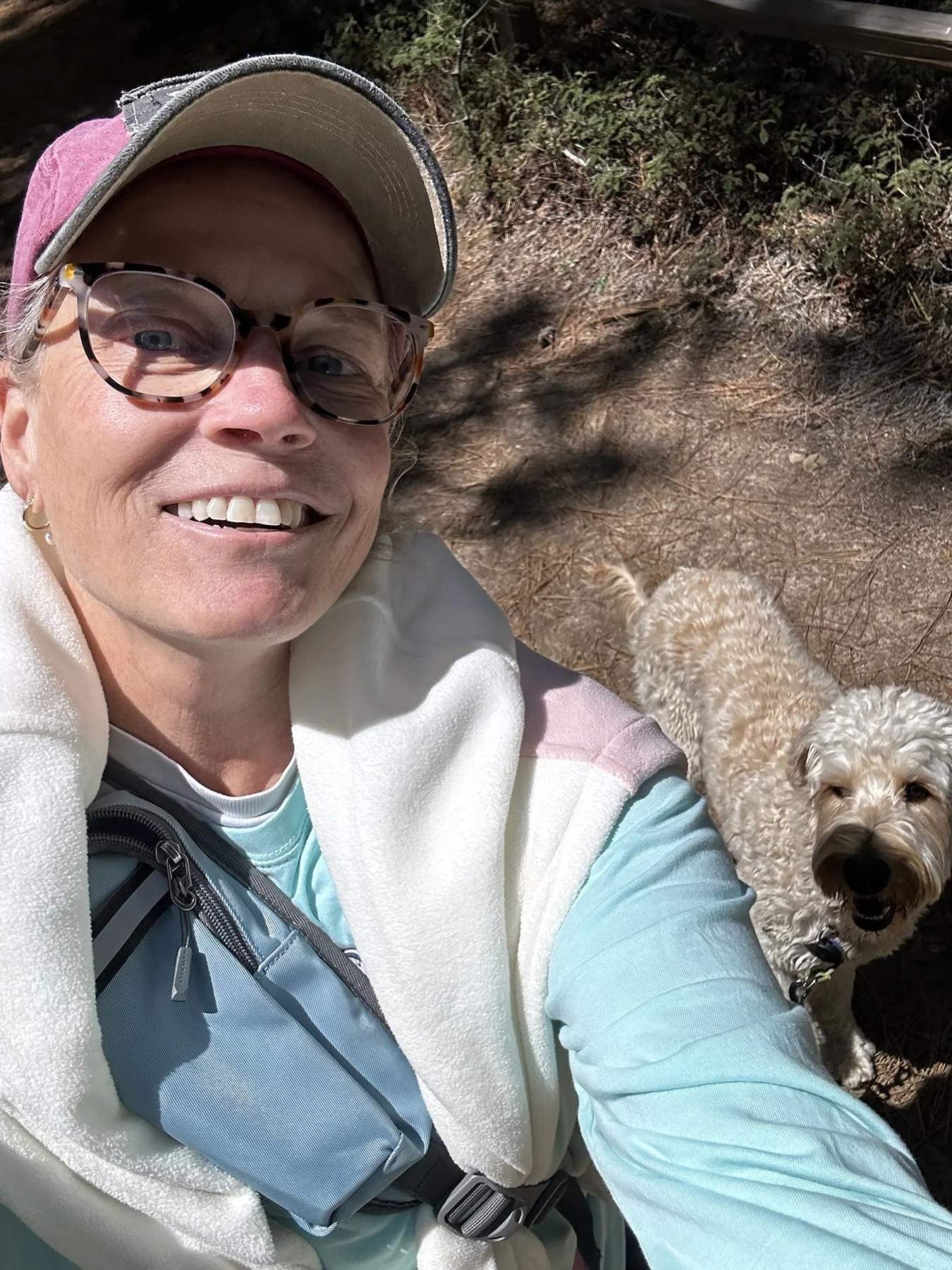
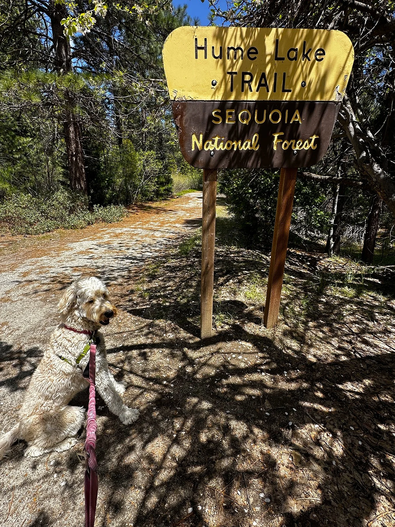
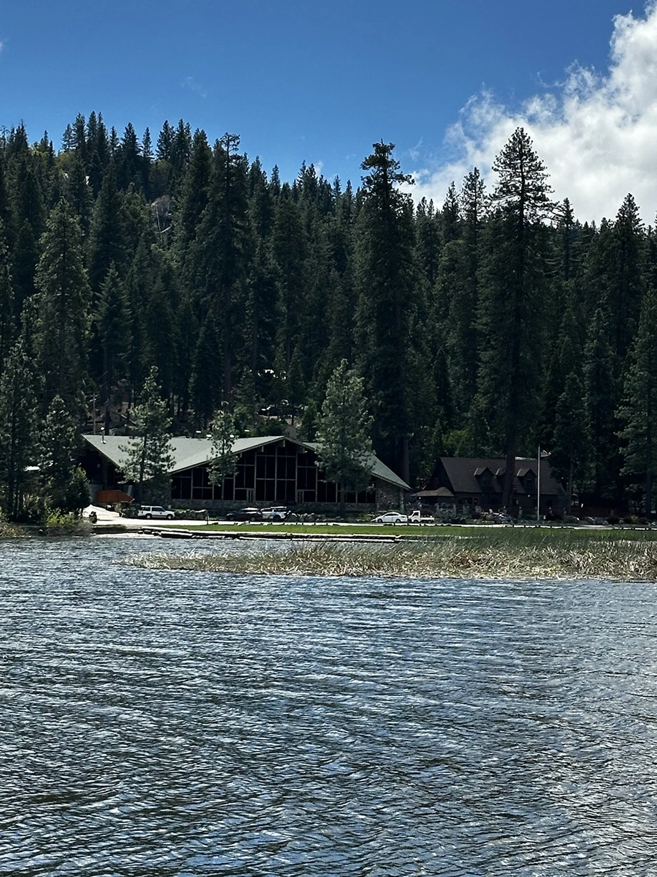
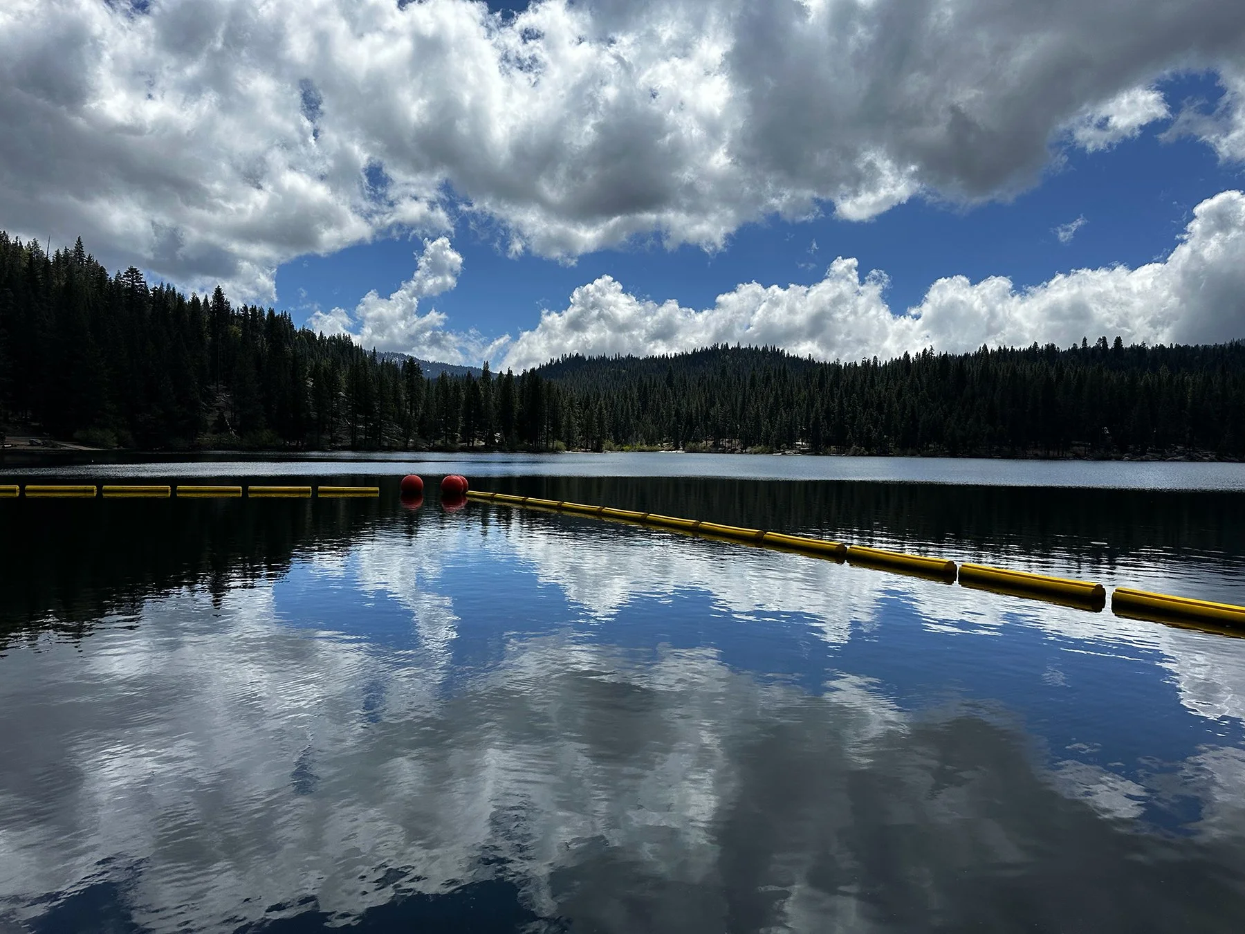
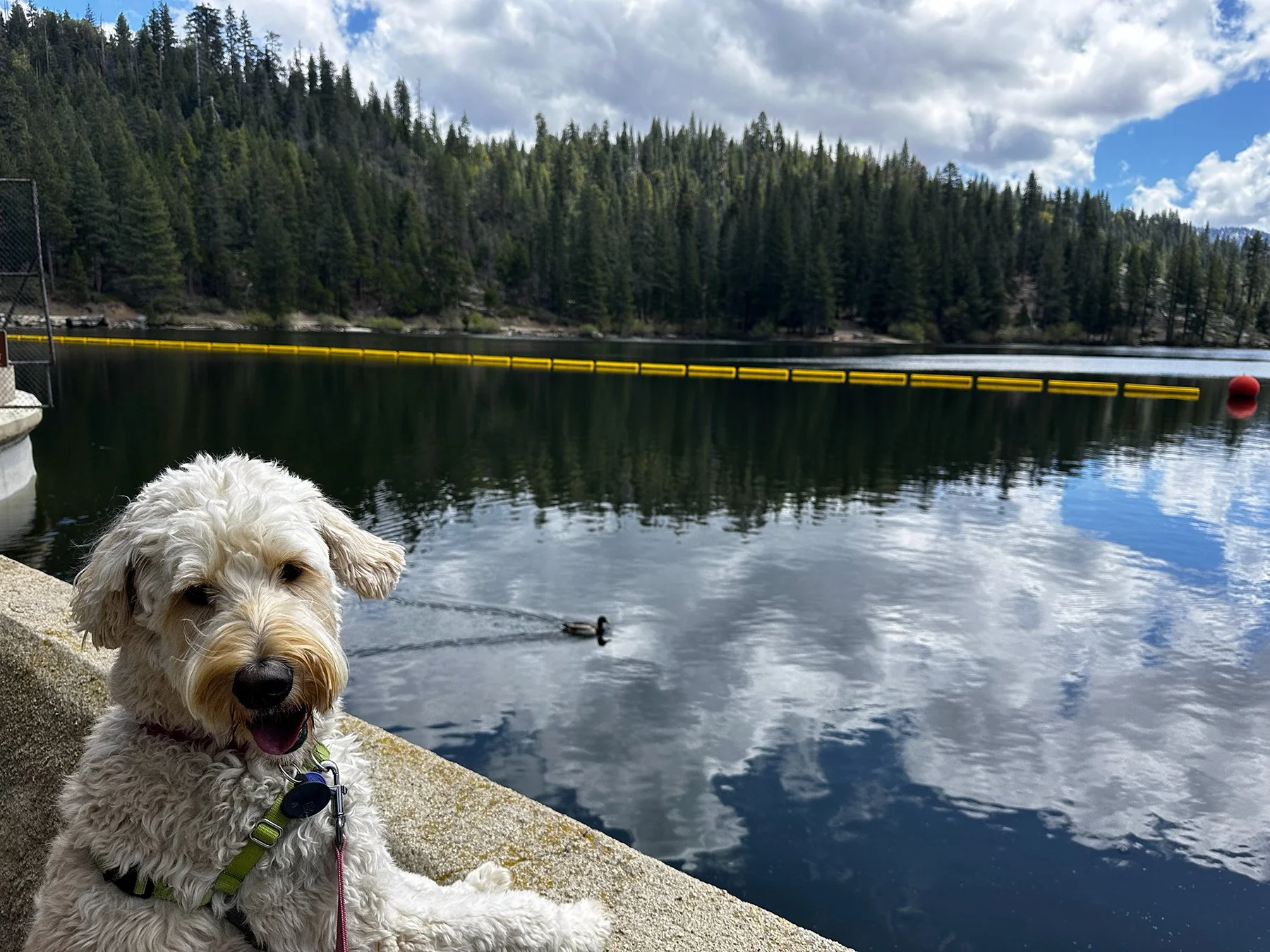
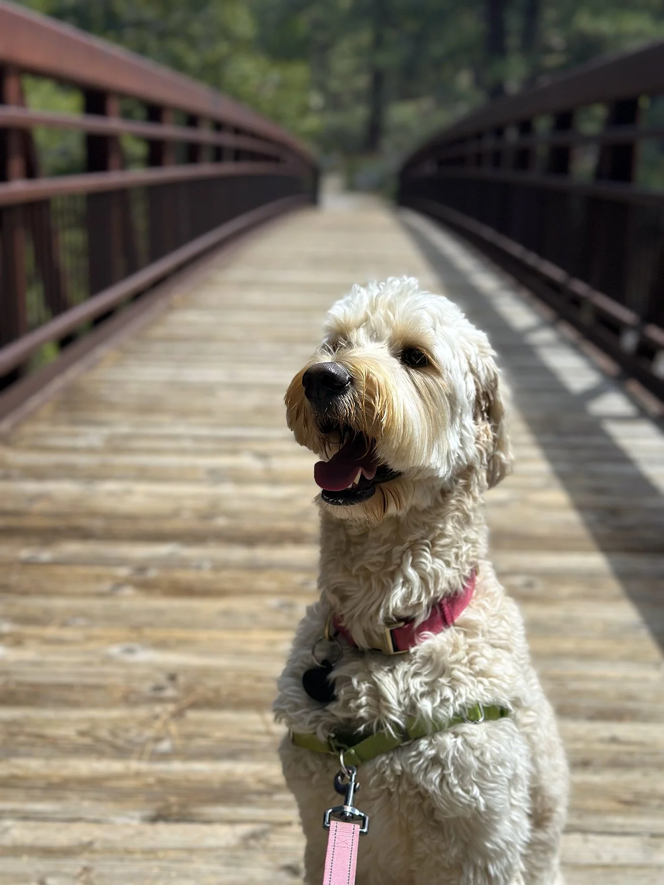
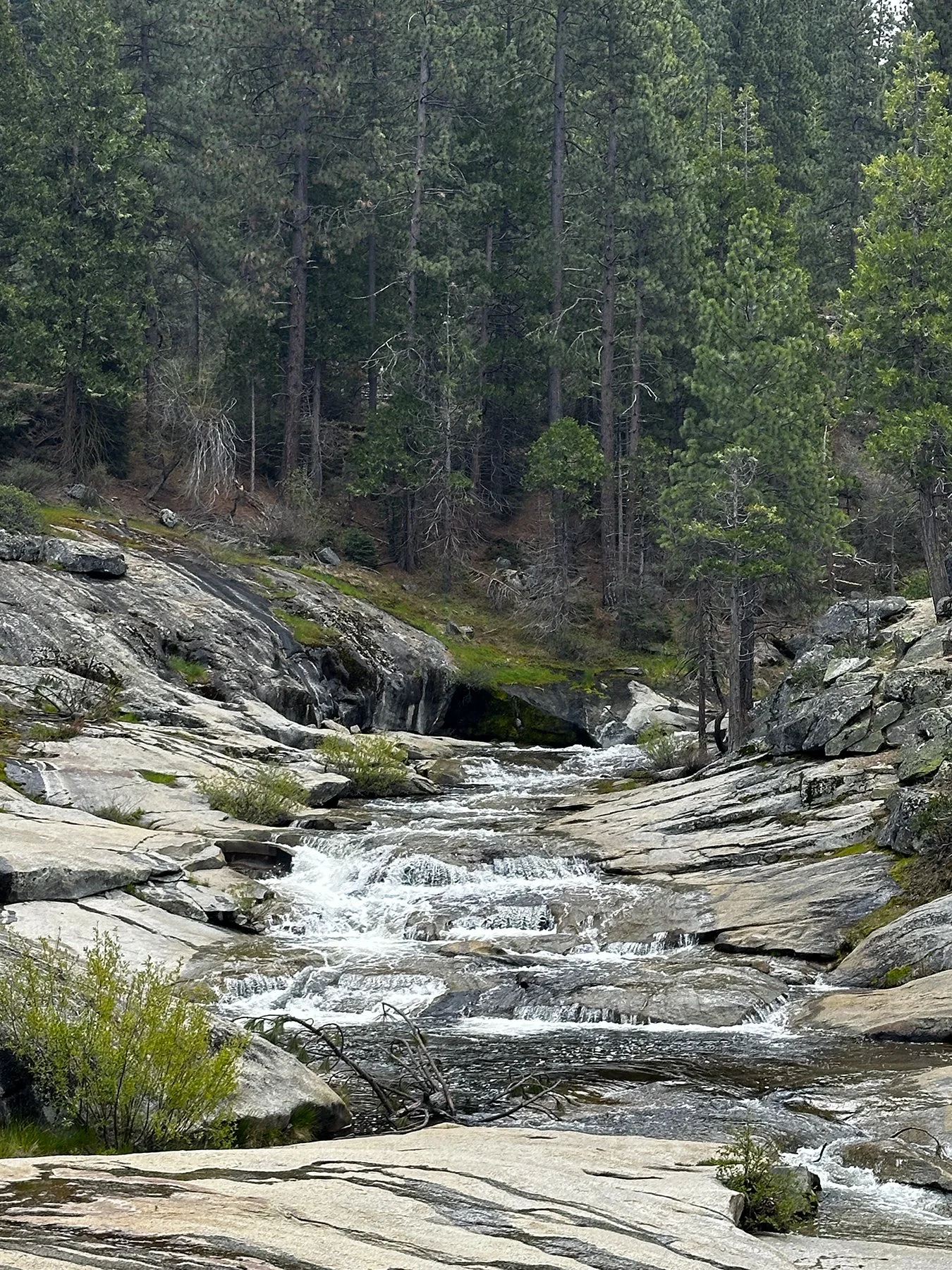
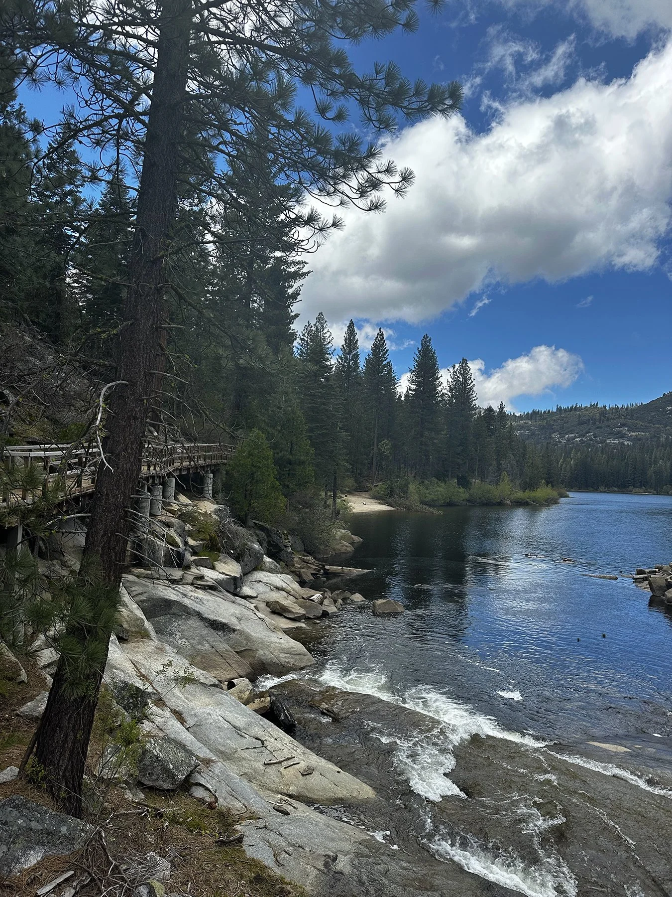
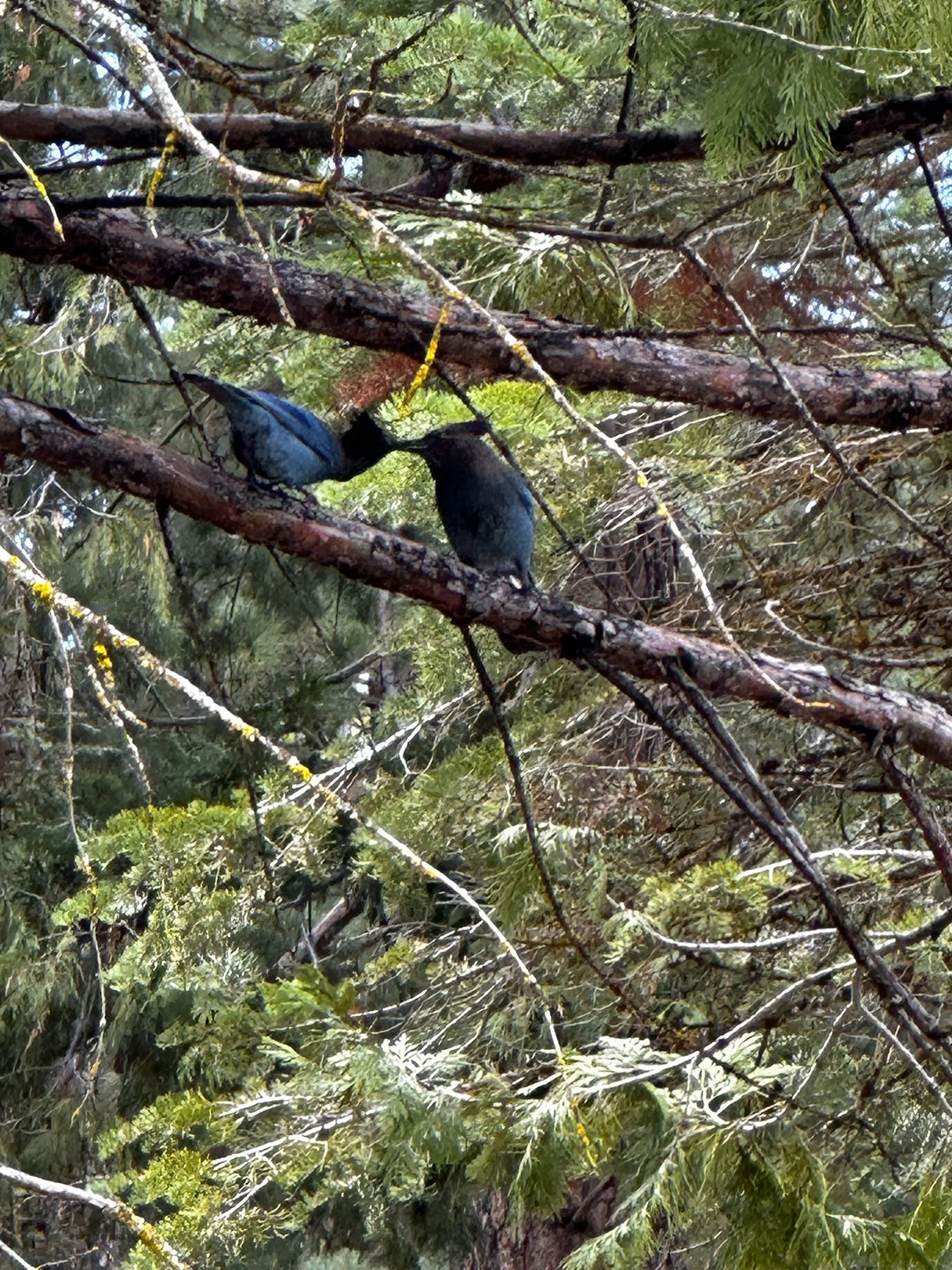
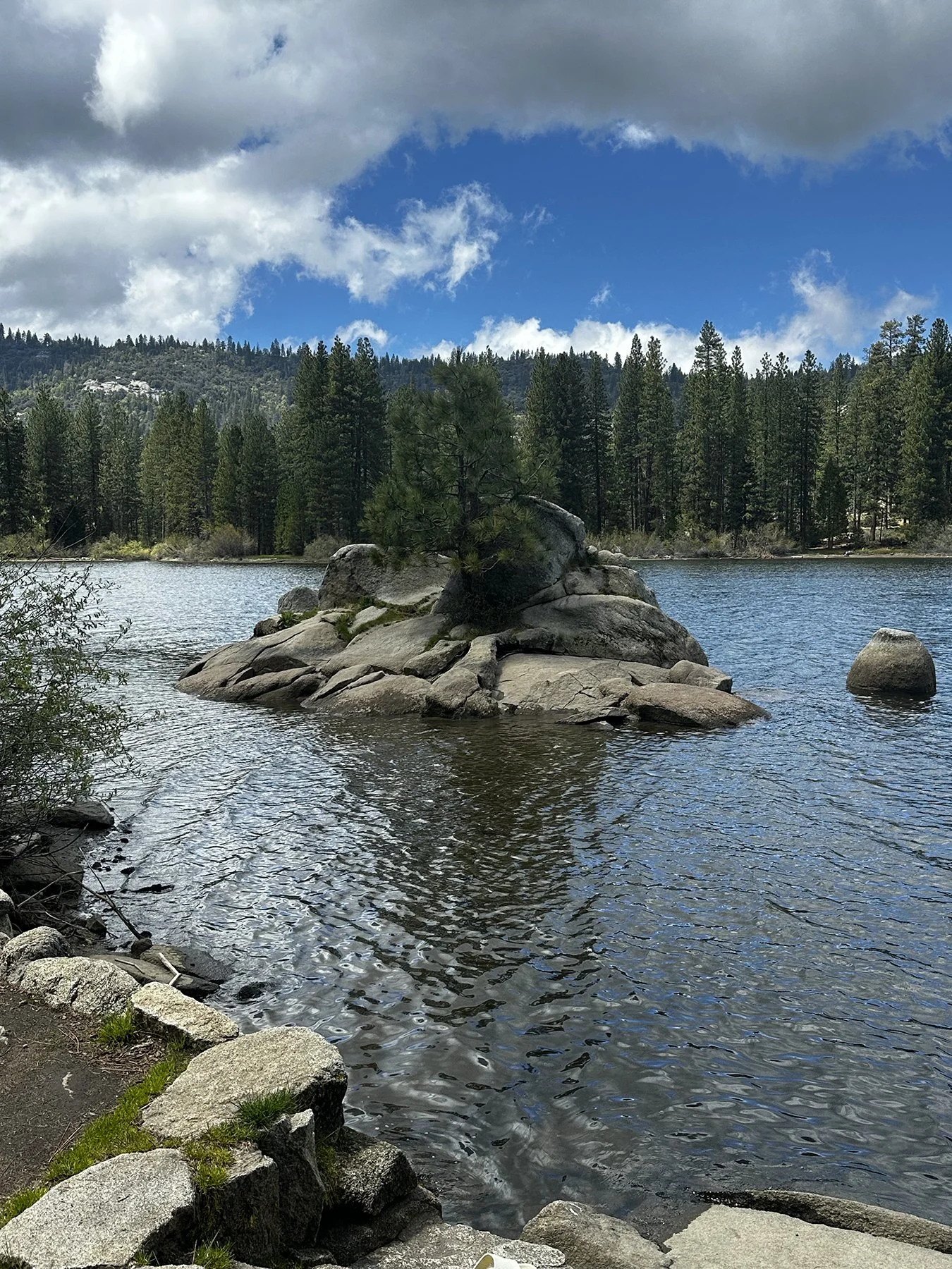
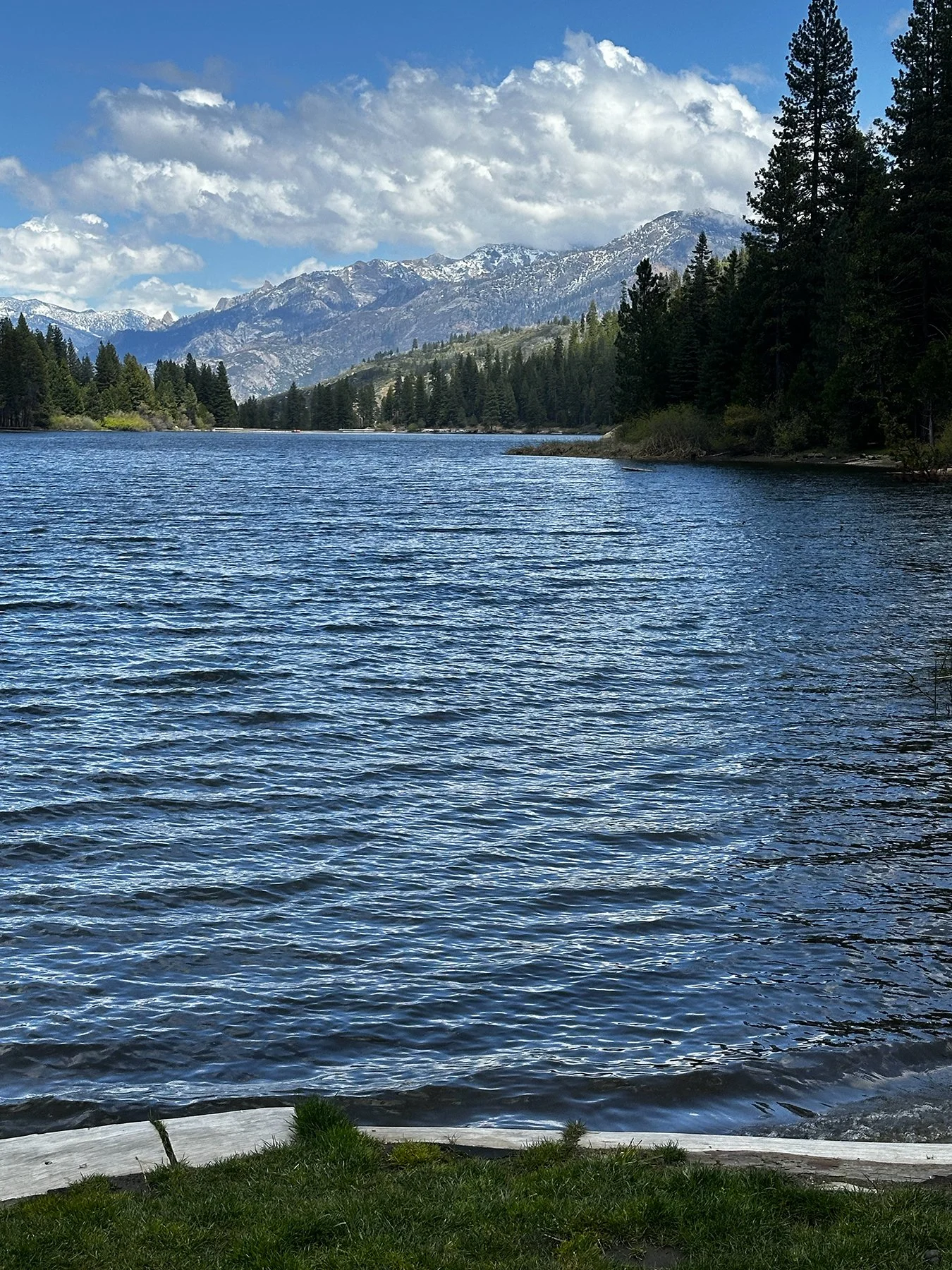
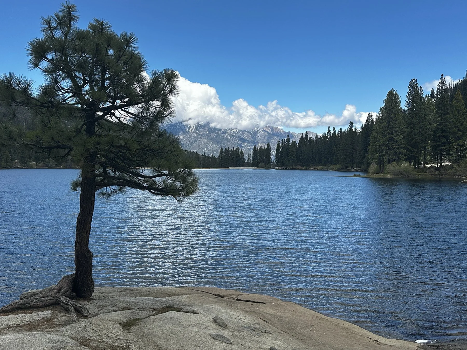
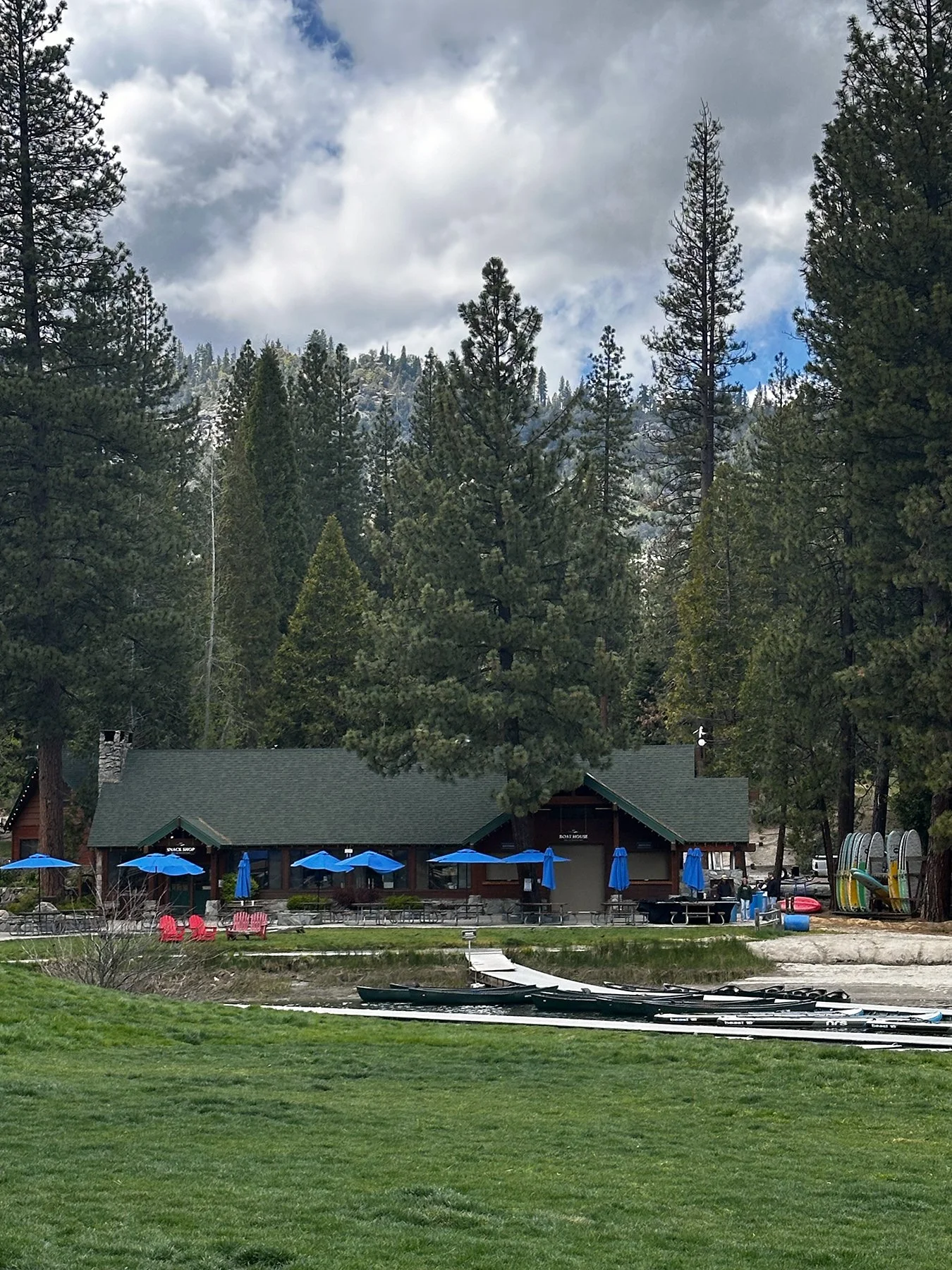
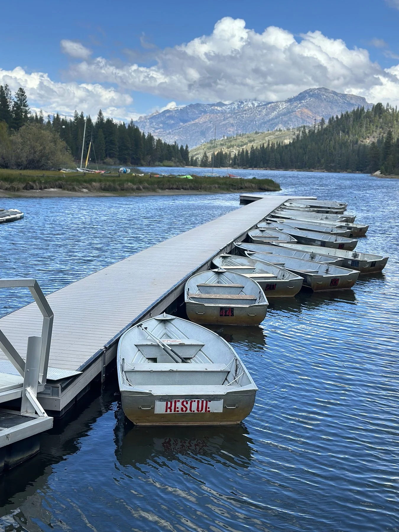
The far reaches of Kings Canyon NP were still calling, so after a few hours at the lake, we drove down to the canyon floor to an area called Cedar Grove. Y’all, I thought the Grand Canyon was amazing. But this drive down Kings Canyon? Oh my goodness. Driving between North Mountain (8658 ft) on our left with views of Sentinel Dome (9108 ft) and Avalanche Peak (10,056 ft) on our right, it’s a miracle I didn’t drive right off the road. So much to gawk at! We stumbled on Grizzly Falls – an 80-foot waterfall. Just stupendous!
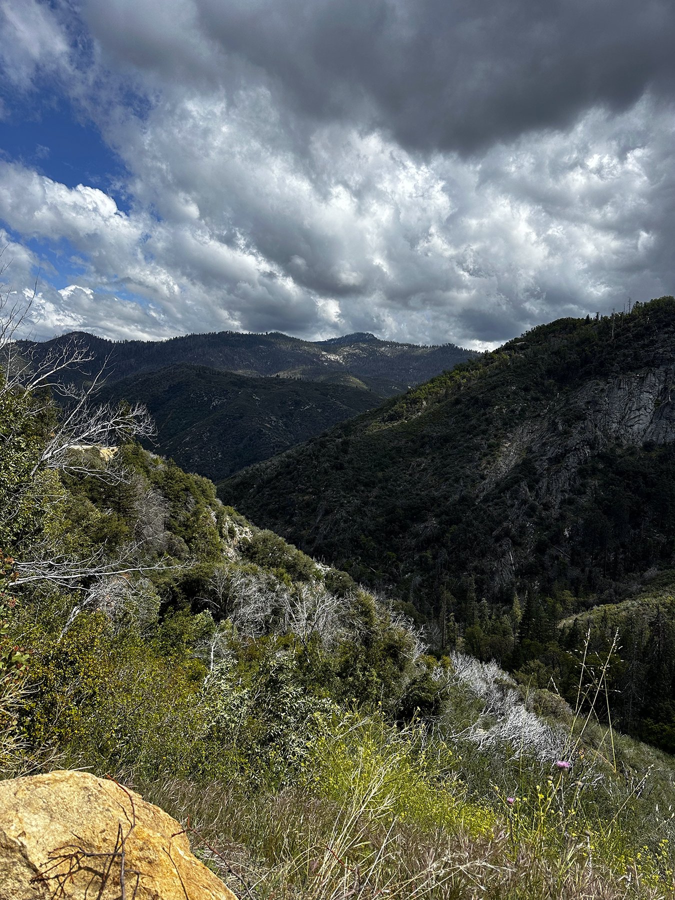
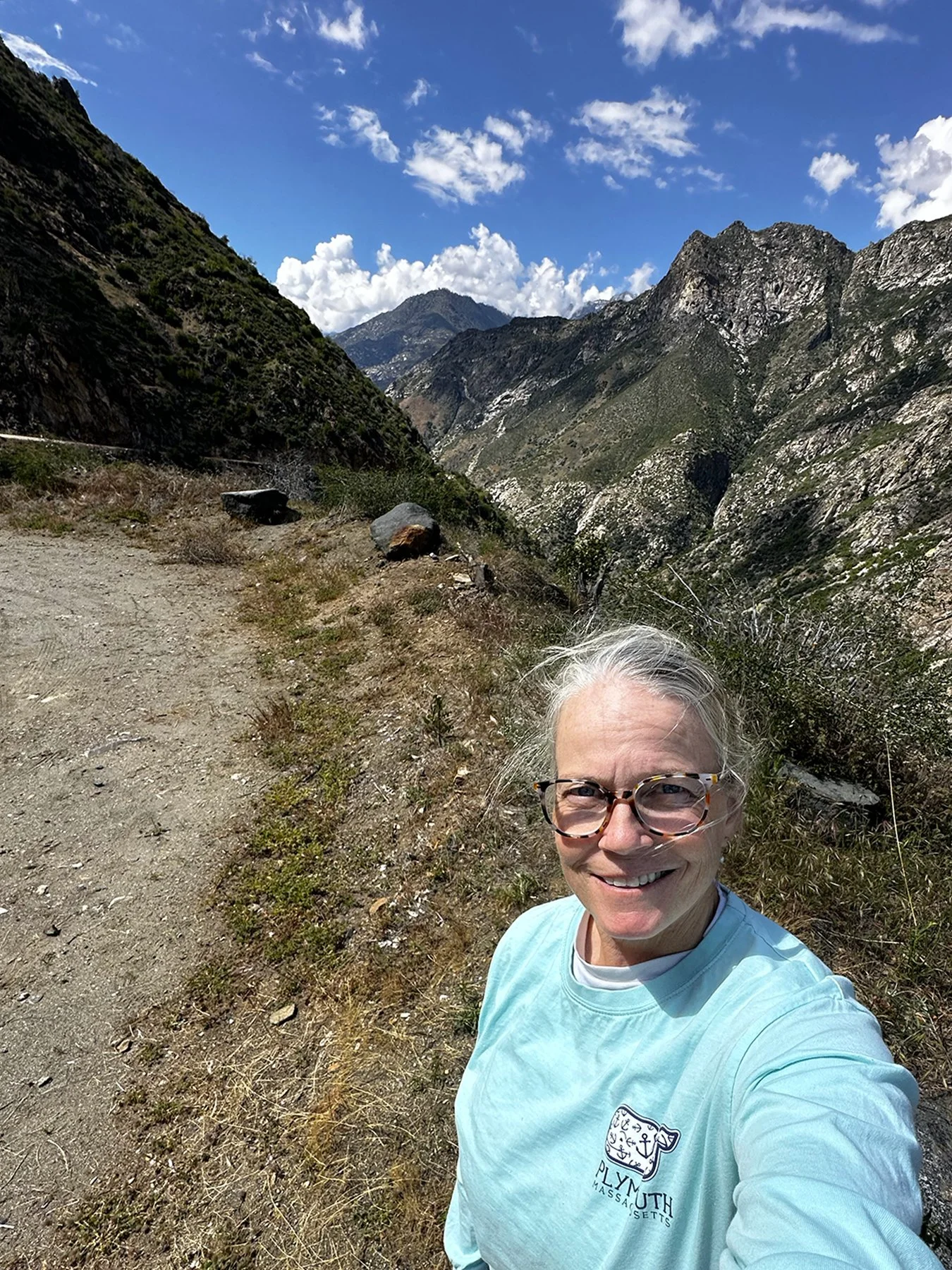
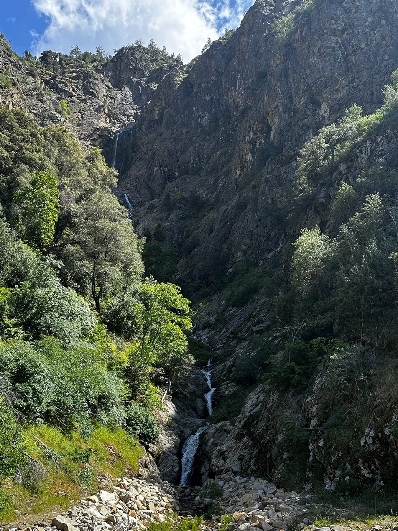
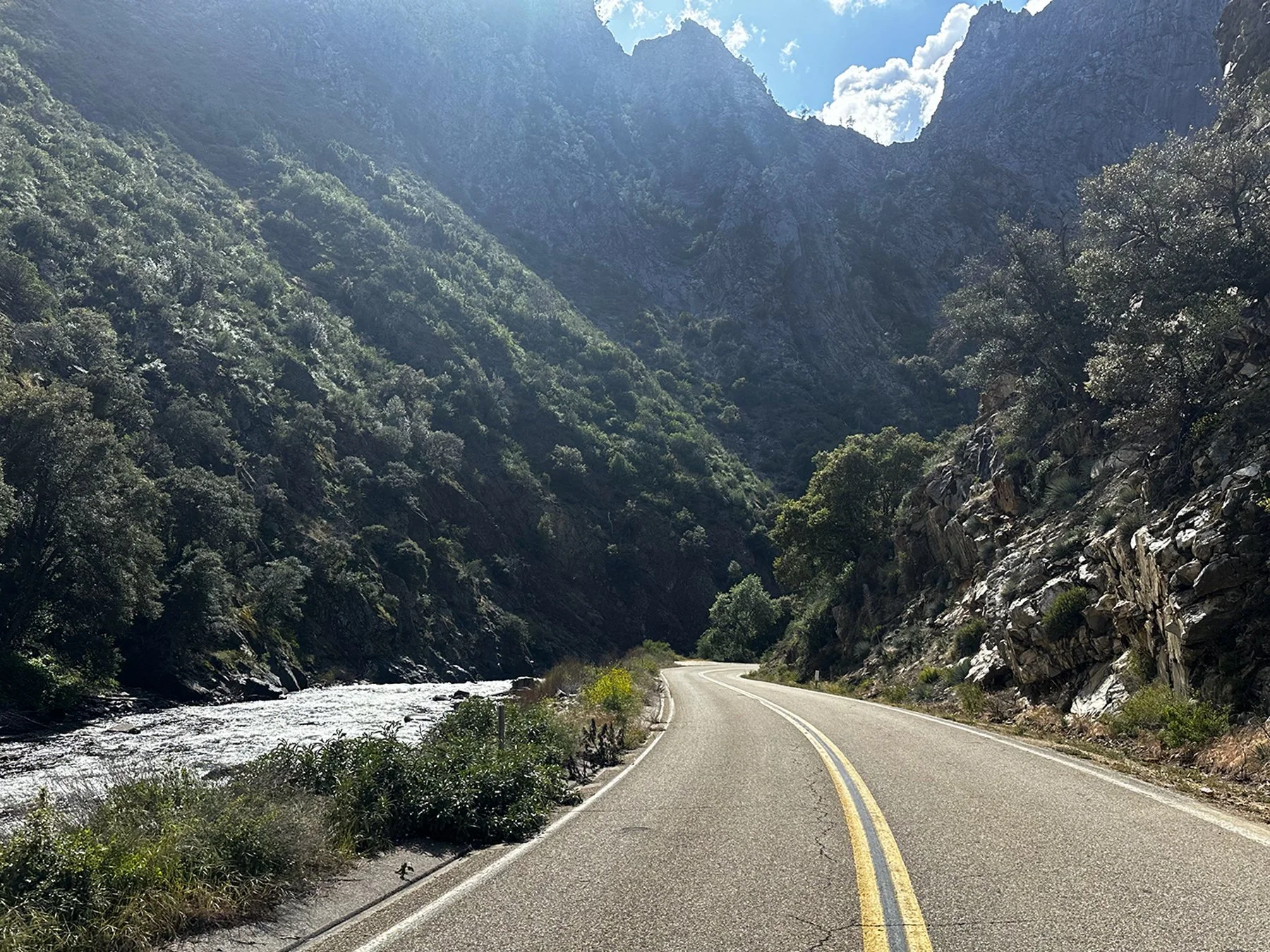
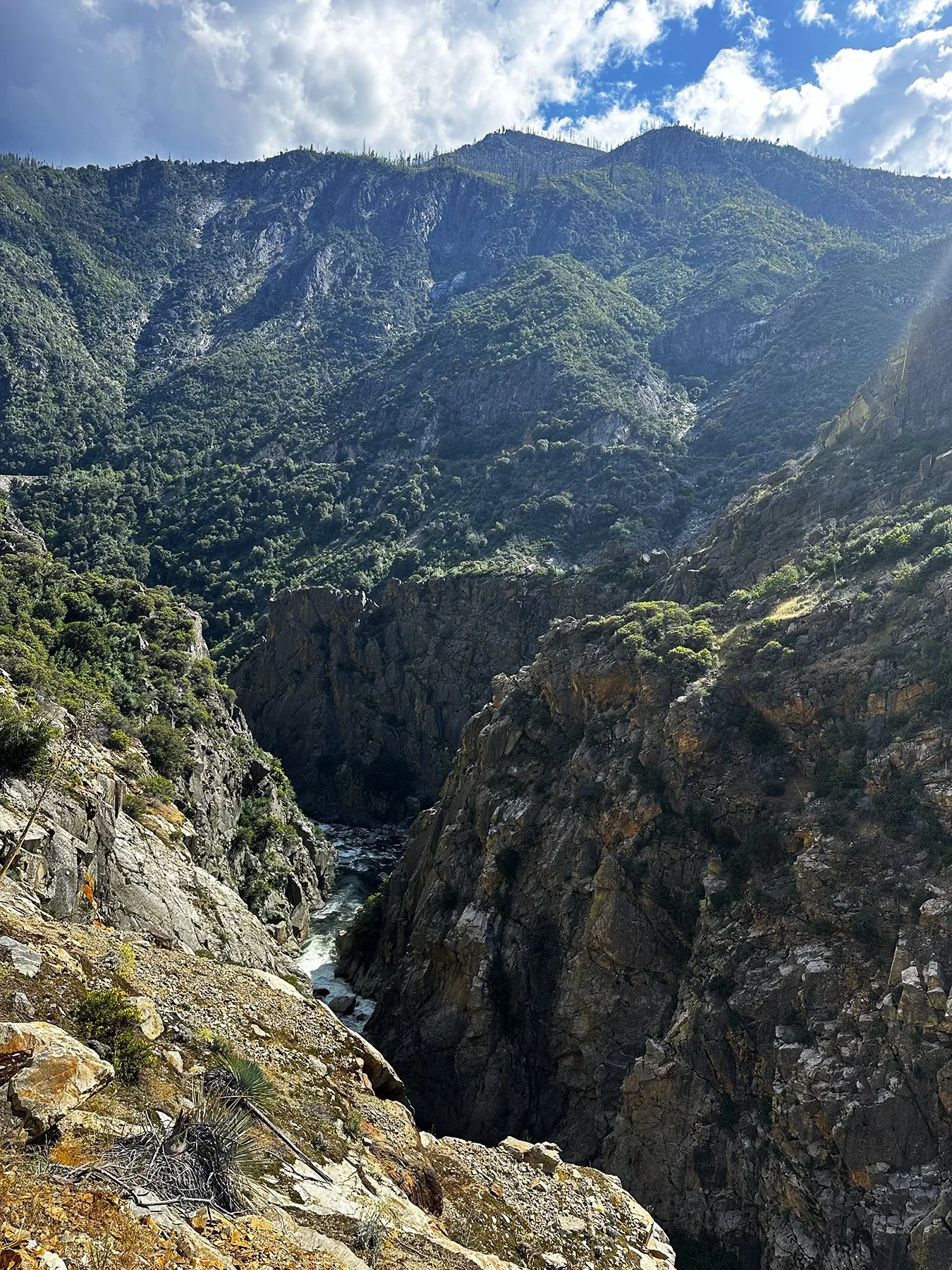
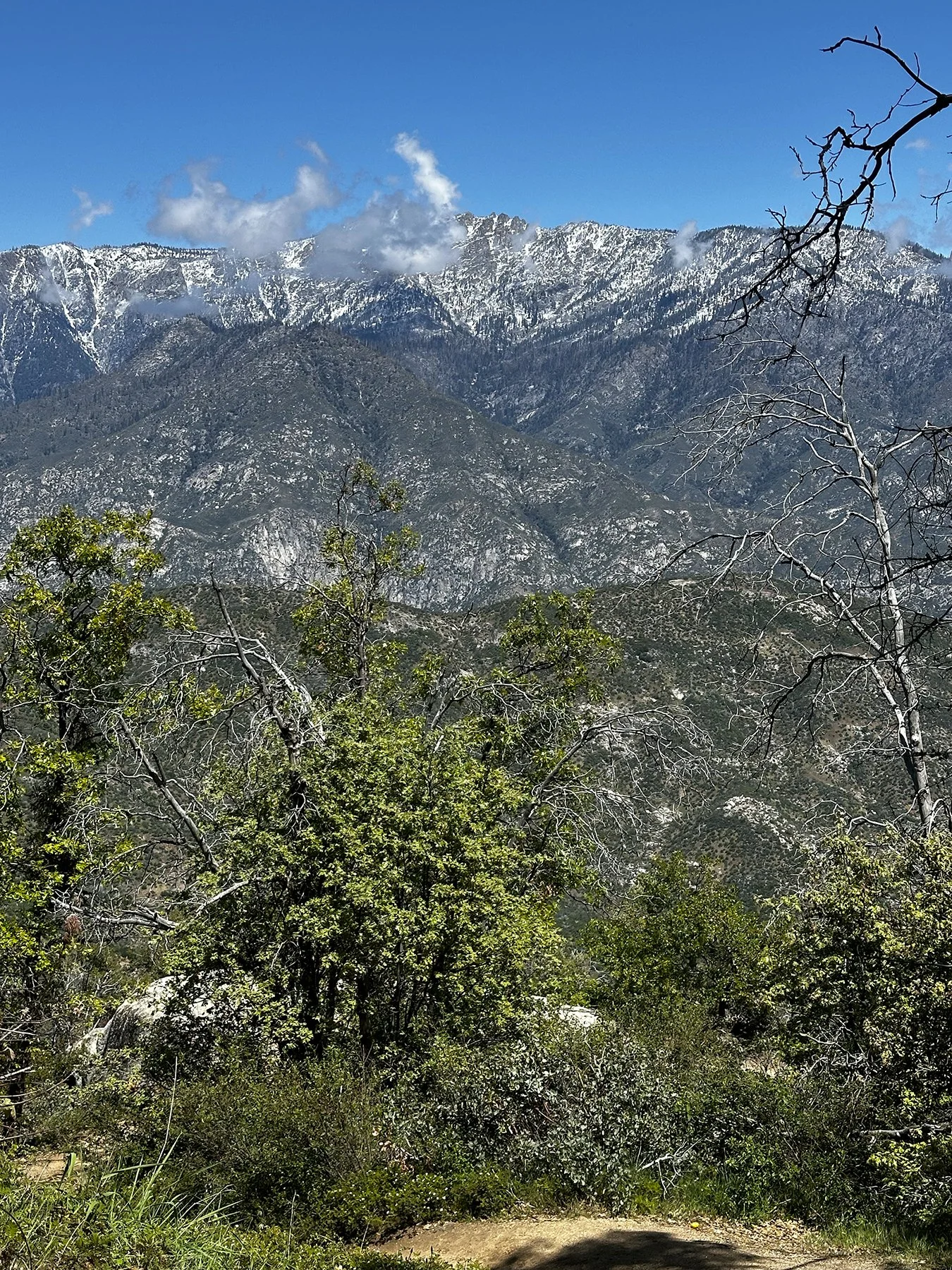
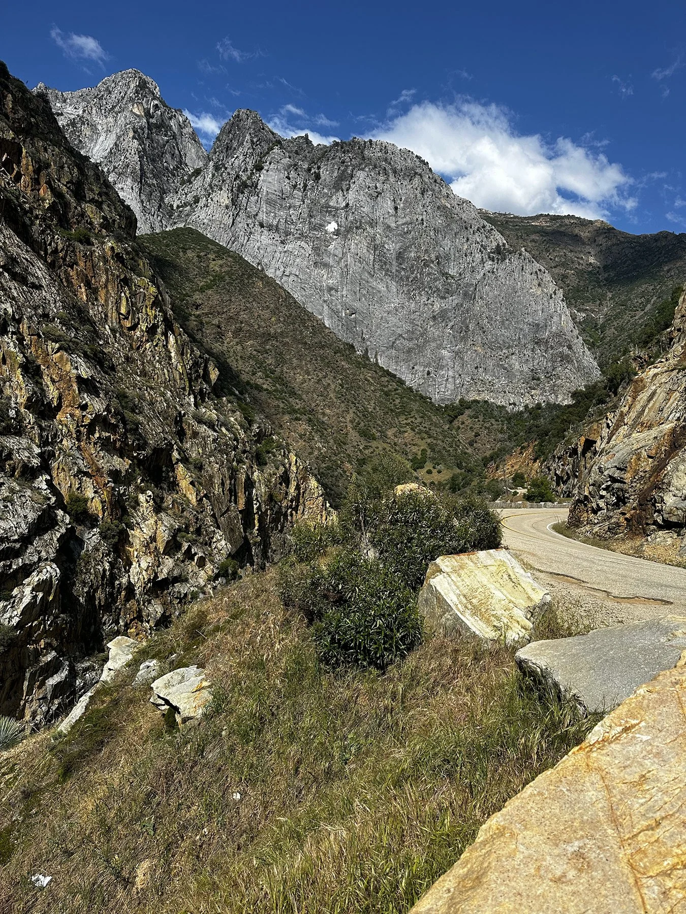
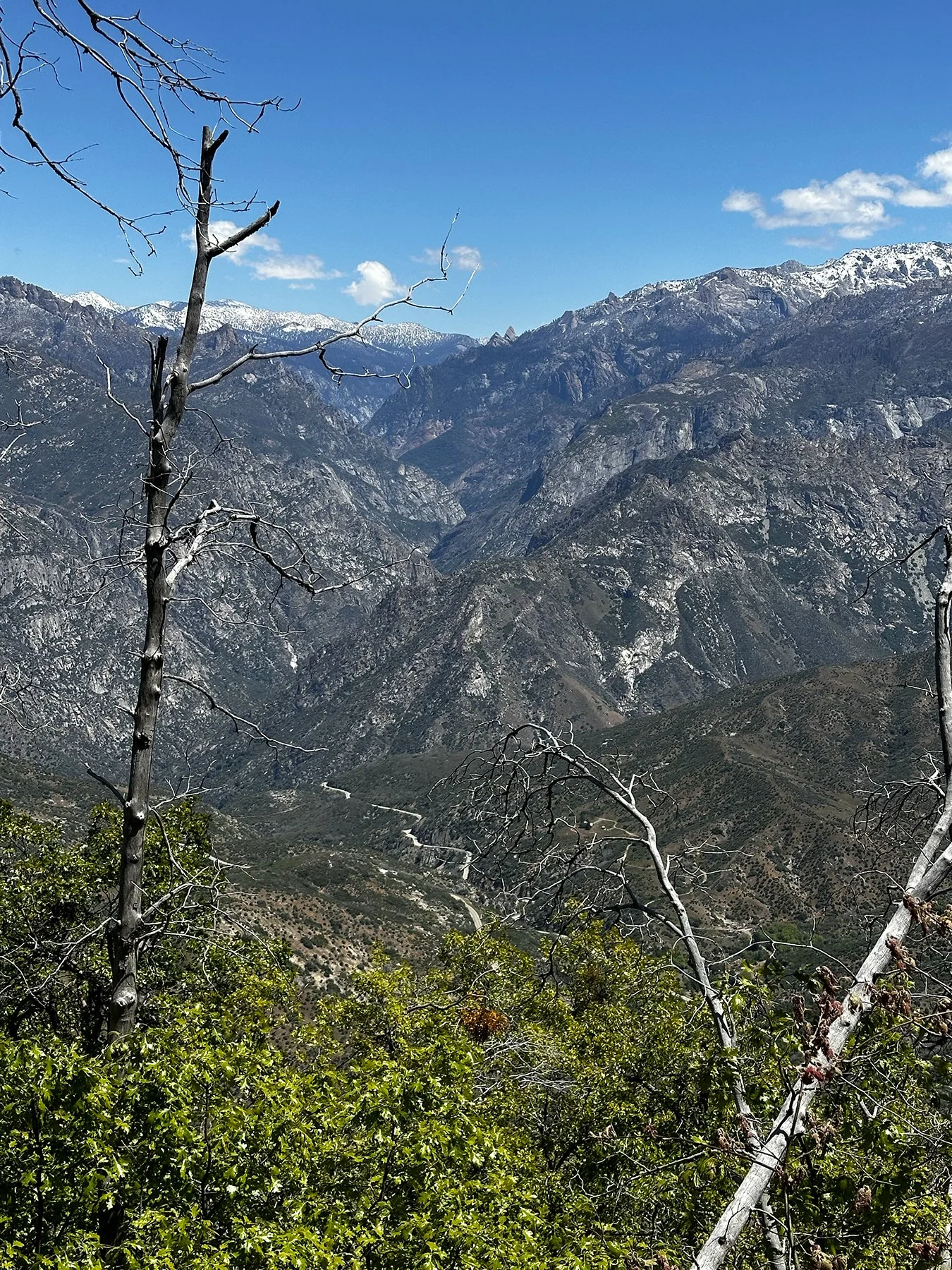
Day 3: Keeping it Local
Not gonna lie, we were beat. After two long but amazing days in the national parks, and driving more than our fair share of mountain roads, it was time for a little down time. Our RV park was in a little town called Three Rivers. There were several horse farms in the area, one of which bordered the dog park, and we enjoyed walking around. But then I saw the MOST unexpected wildlife: turkeys! I’m serious, we saw a number of wild turkeys in several different areas around there. Go figure!
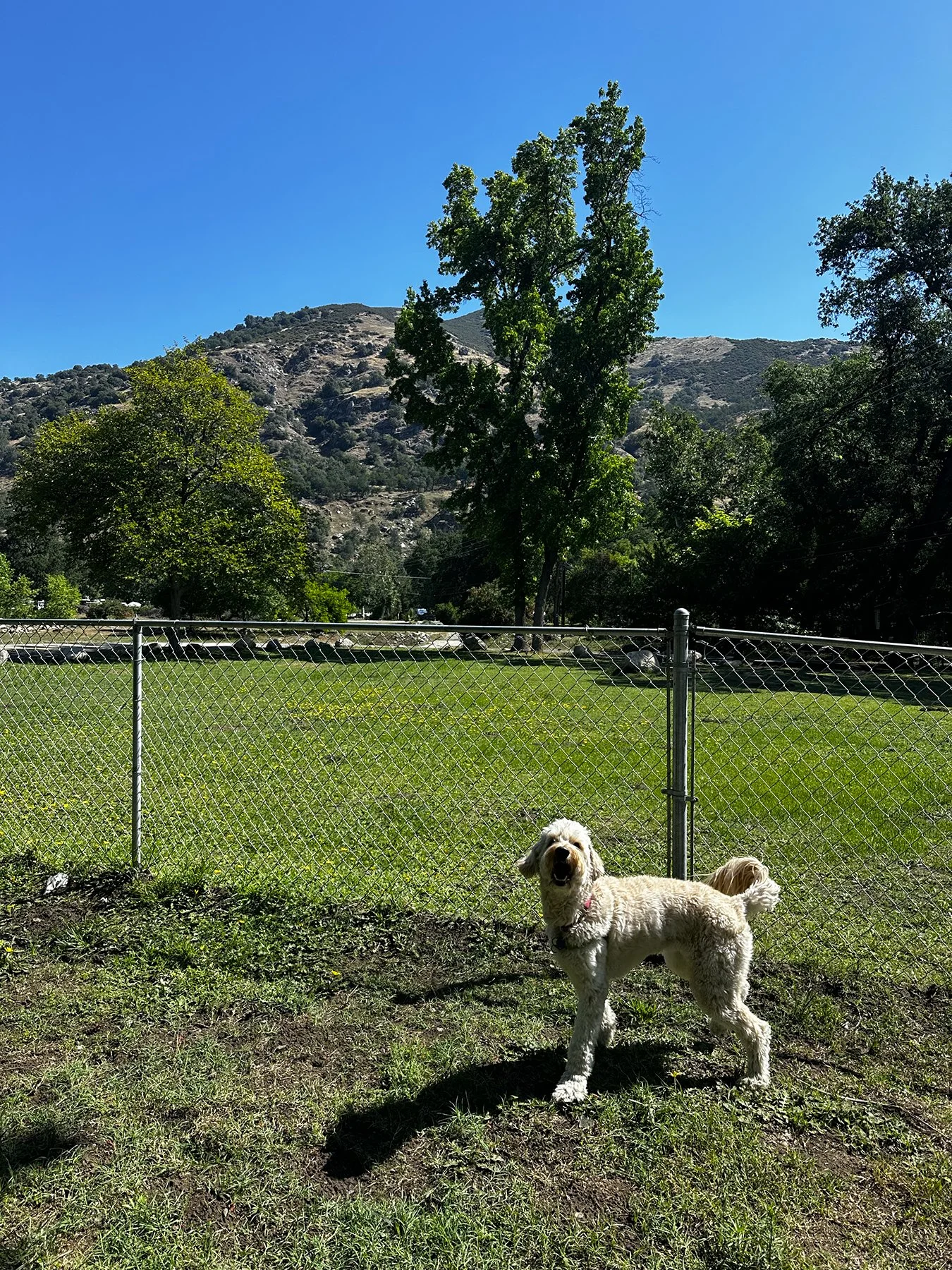
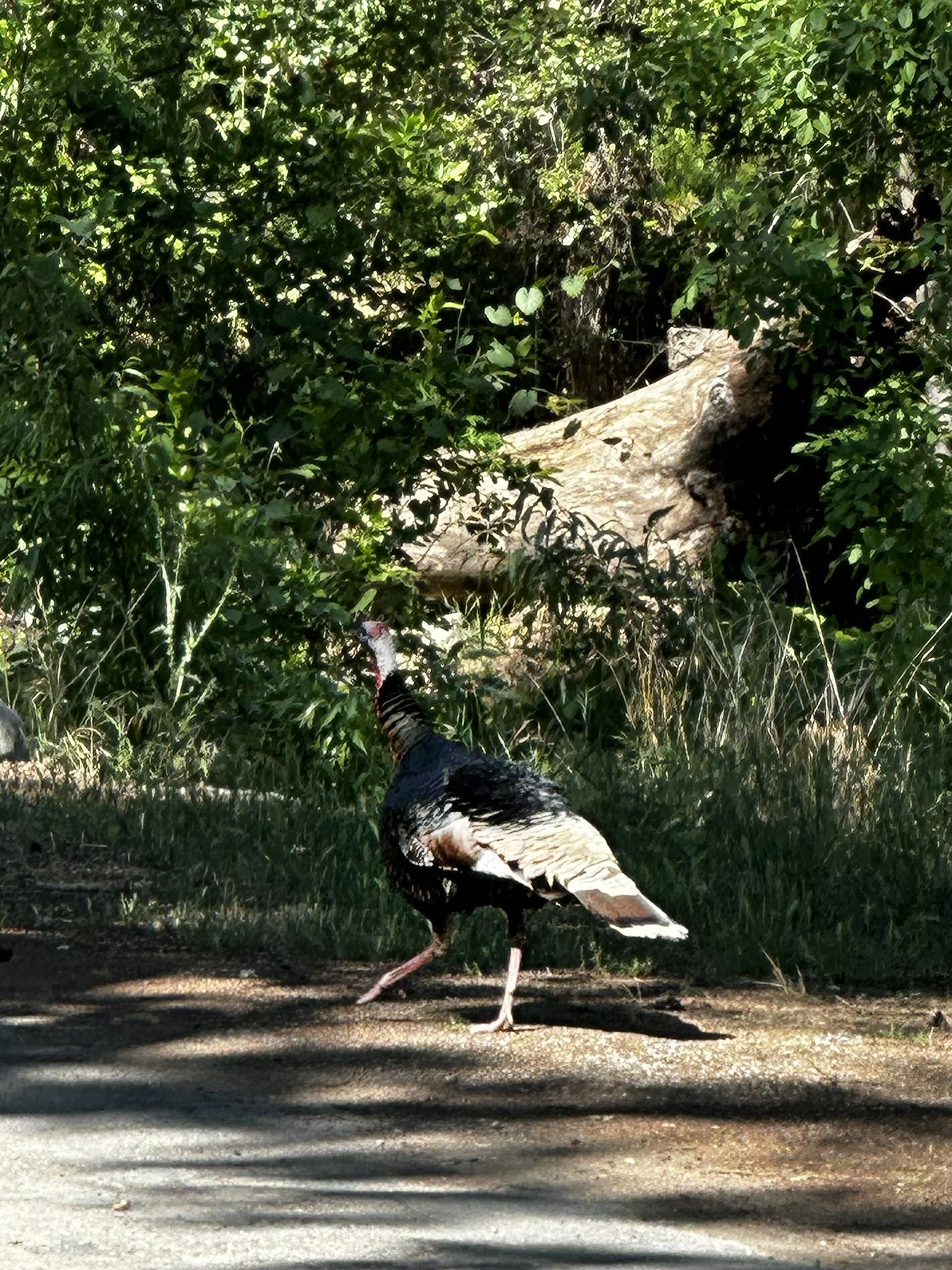
With still-tired legs, I decided to drive to Lake Kaweah Recreation Area for a look around. We ended up hiking around much of the lake (of course)—it was very relaxing—then walked the length of the town to check out the local culture.
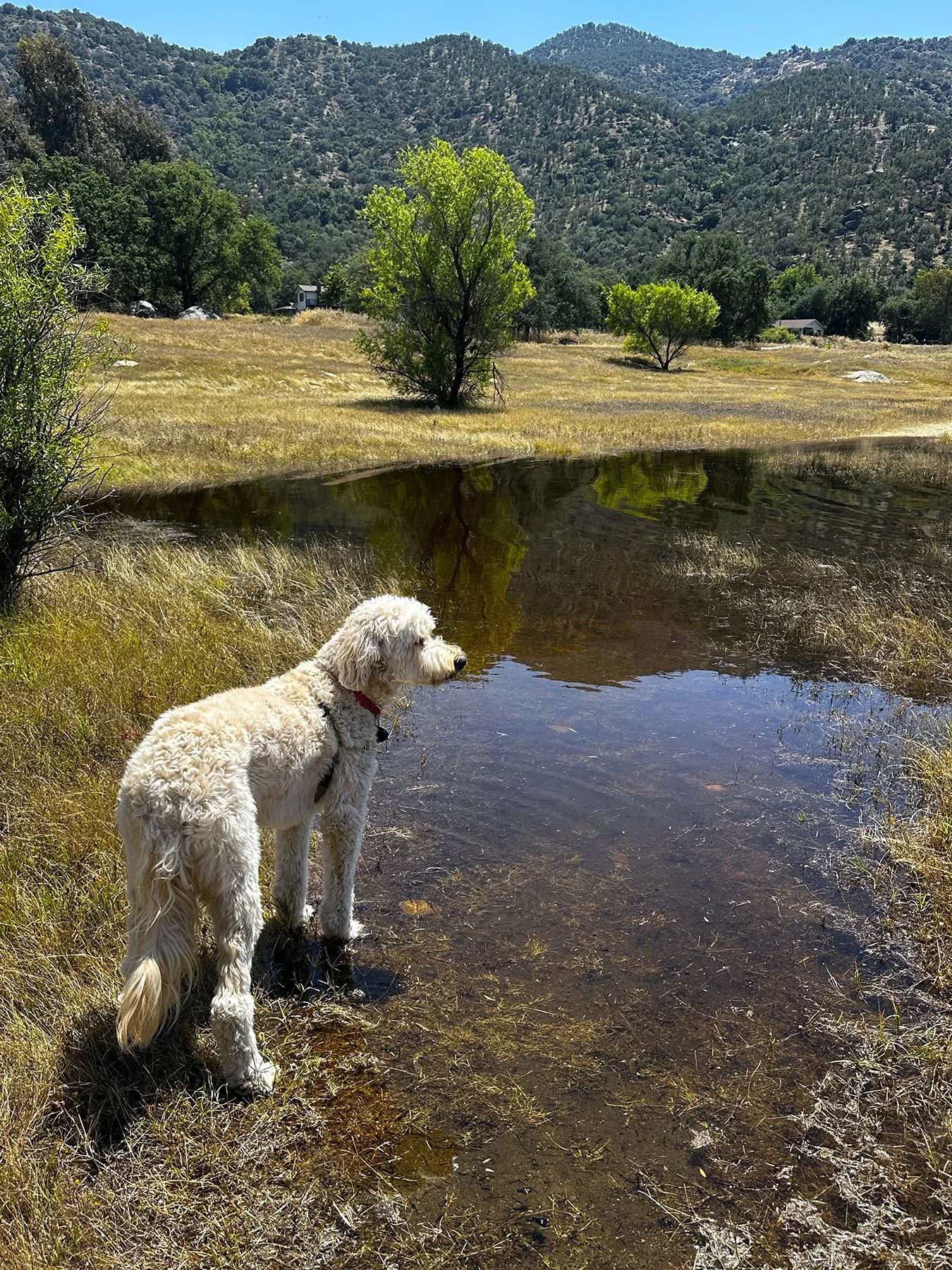
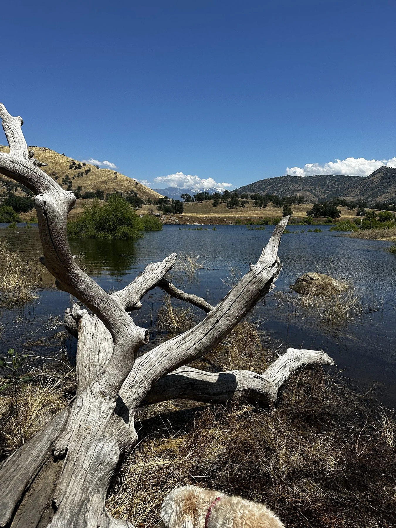
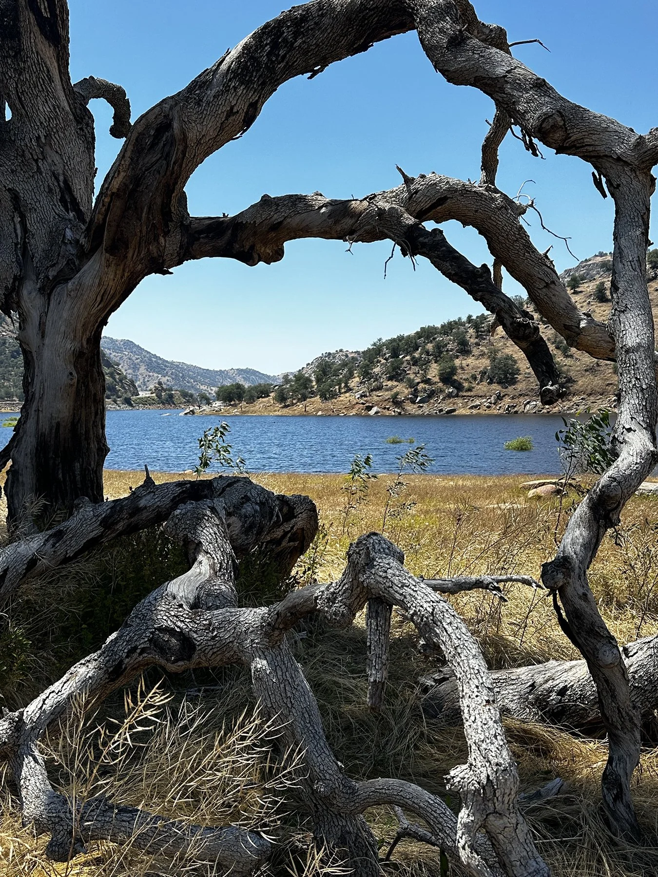
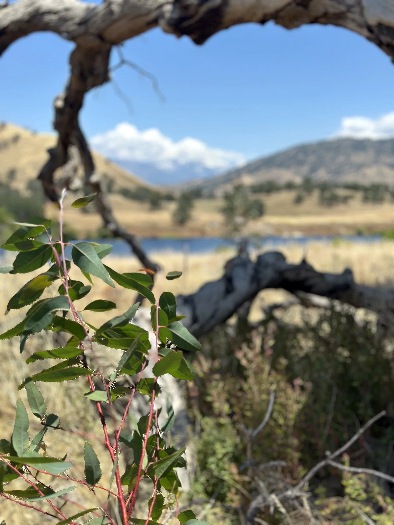
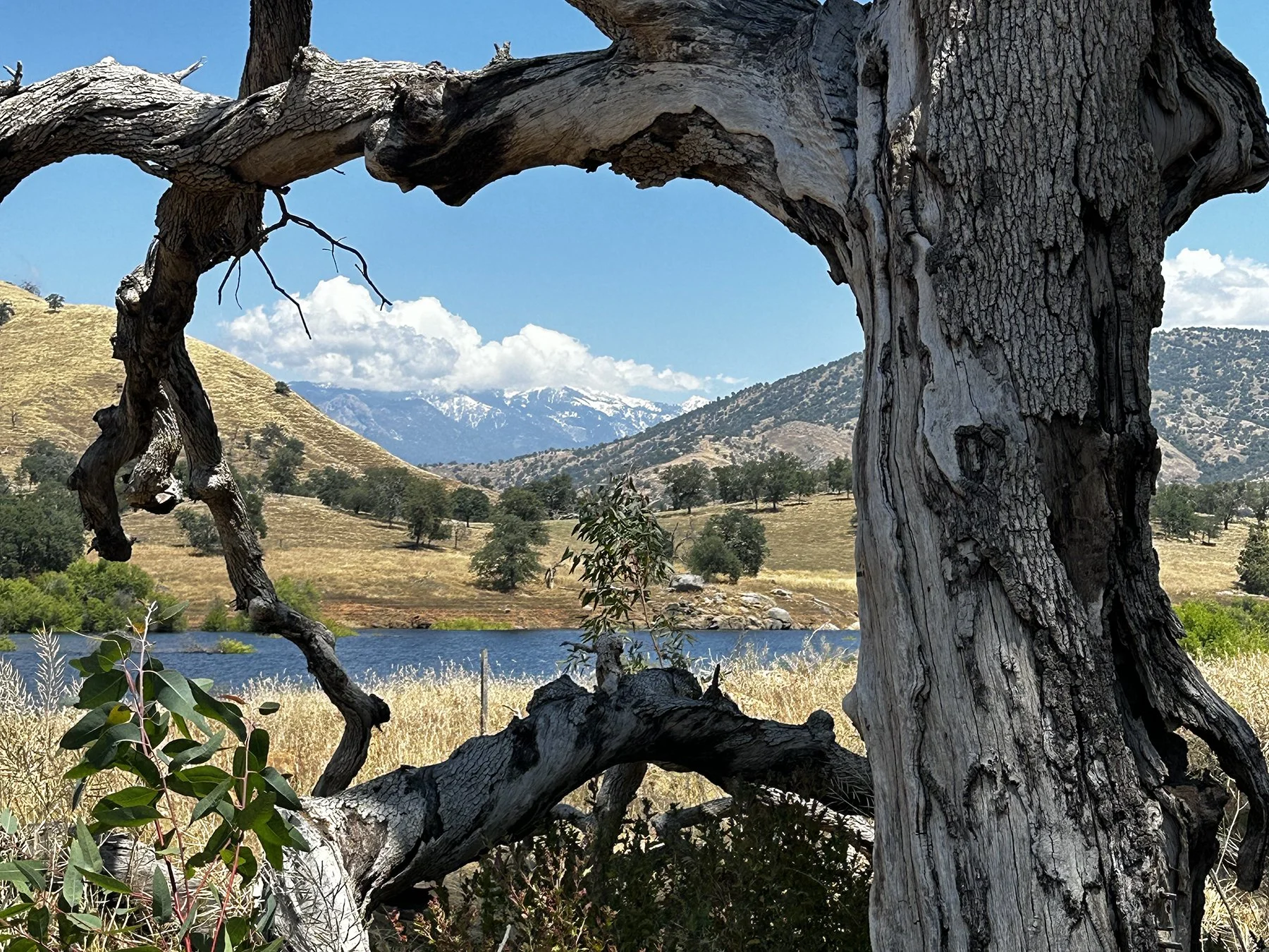
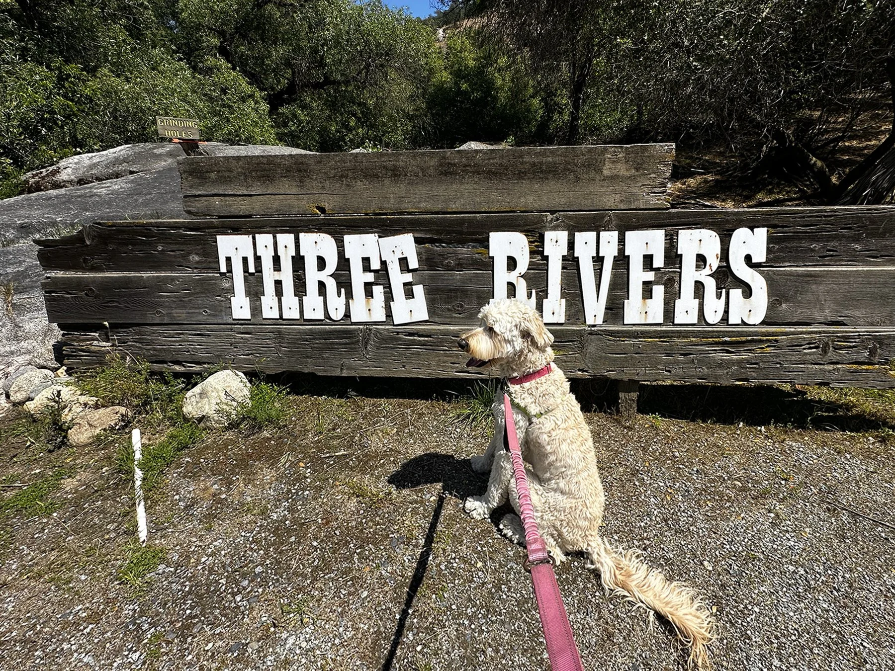
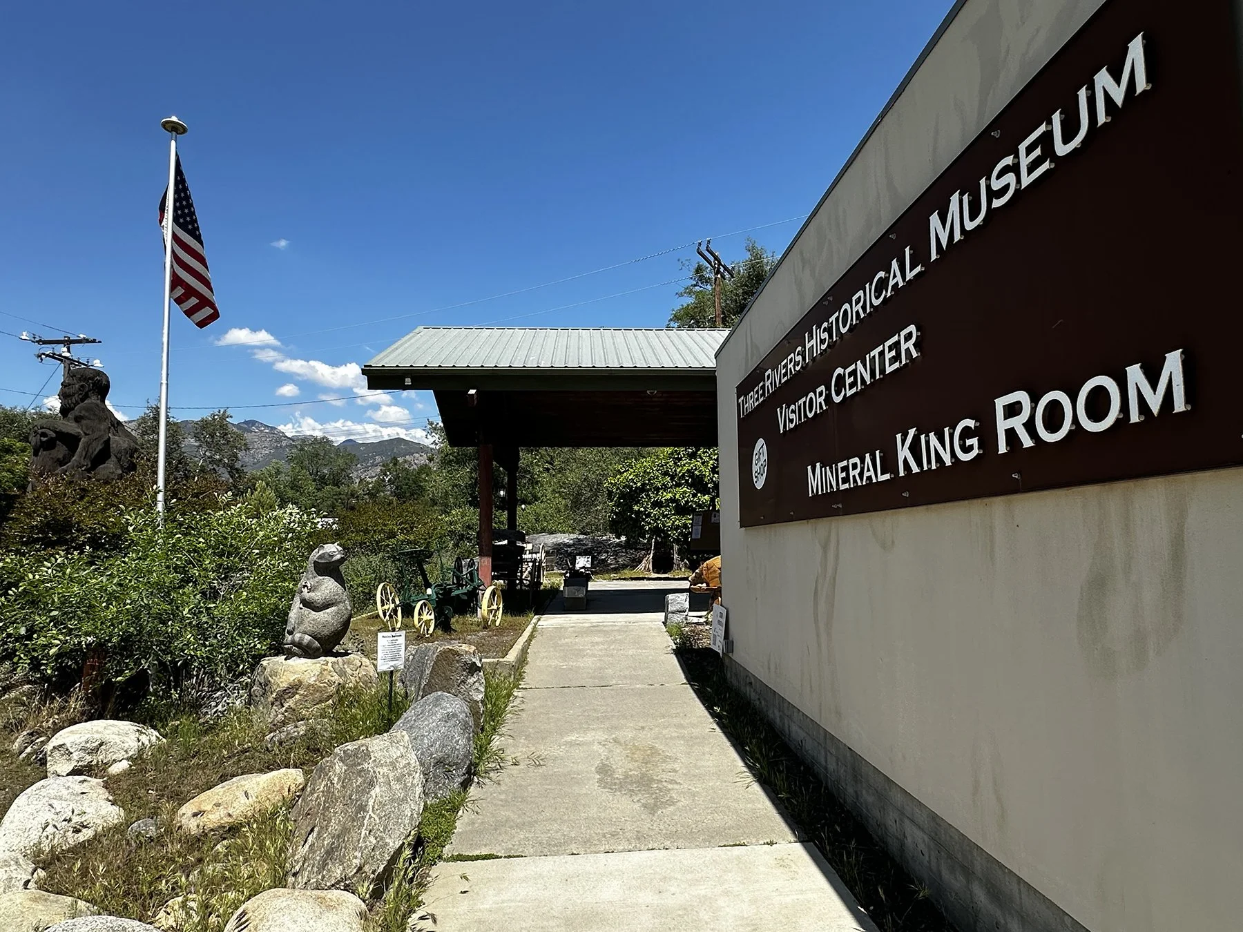
Day 4: Back to Sequoia NP
I just couldn’t help heading back to the park one more time! While this wasn’t necessarily going to be an epic NP day, we sure enjoyed a slower pace, a less-ambitious itinerary and the freedom of just winging it. We discovered another closed road not too far from the closest entrance to us. Our path took us along the Middle Fork Kaweah River, with beautiful cliffs on one side and cold blue water flowing over boulders on the other. What a treasure! We stopped by Hospital Rock, a large quartzite rock that is a sacred site for local California Indian tribes whose ancestors lived and died there. Archaeological evidence shows settlement as early as 1350, and bedrock mortar sites and pictographs remain. Hospital Rock is on the U.S. National Register of Historic Places.
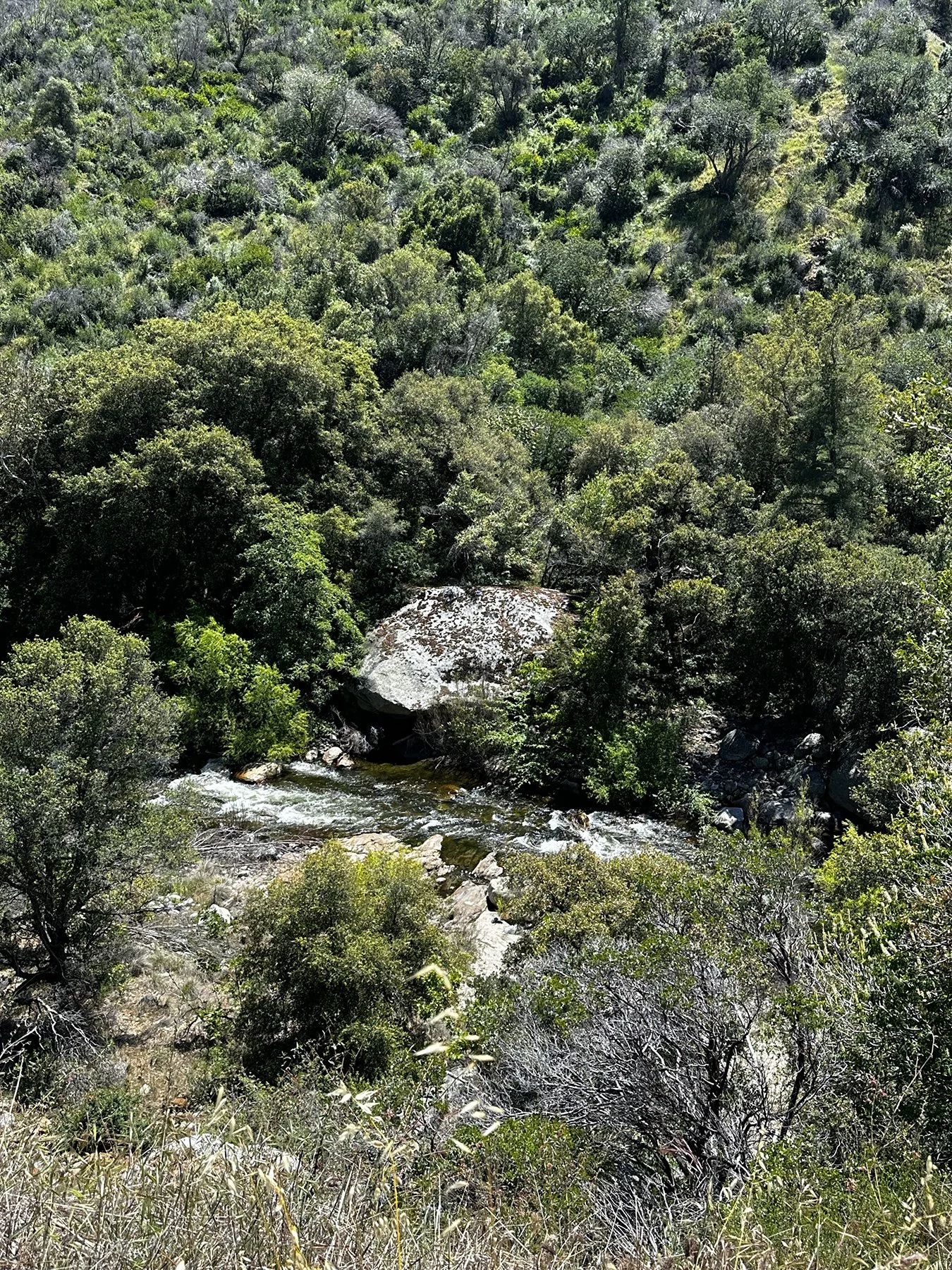
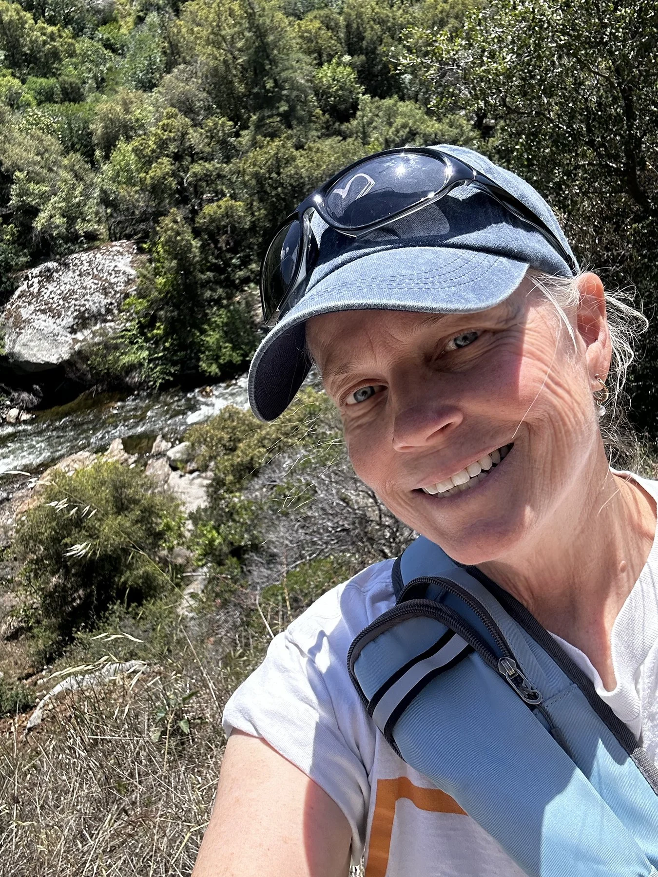
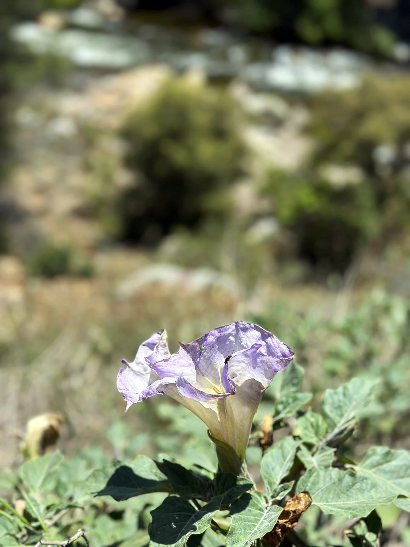
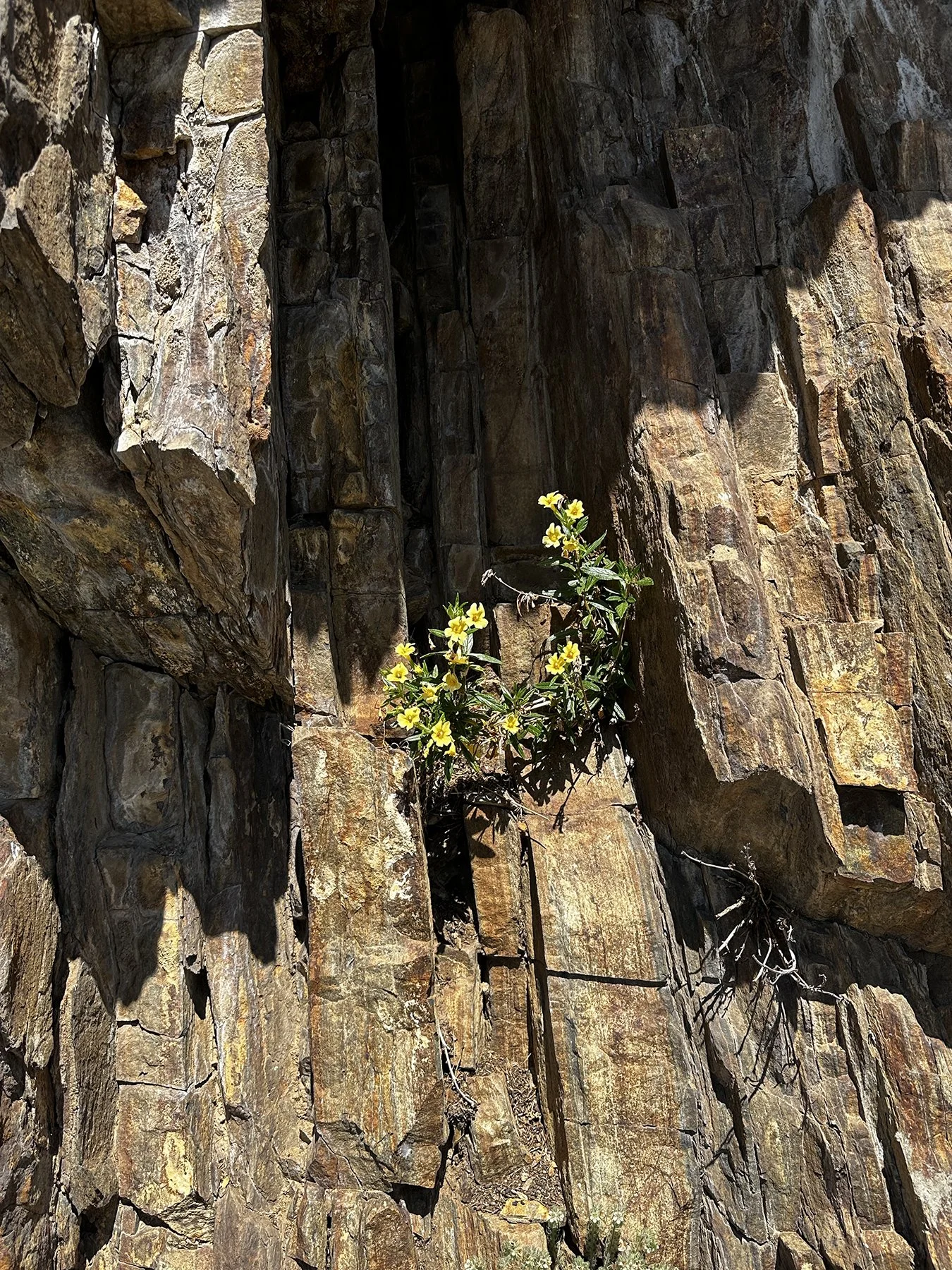
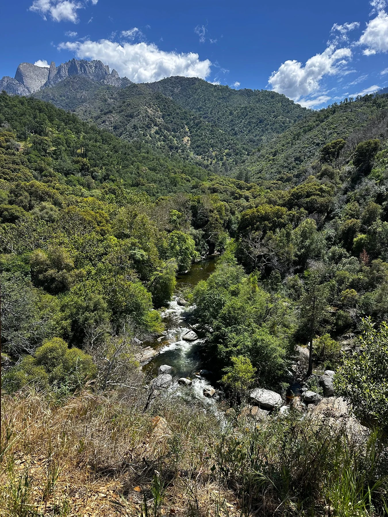
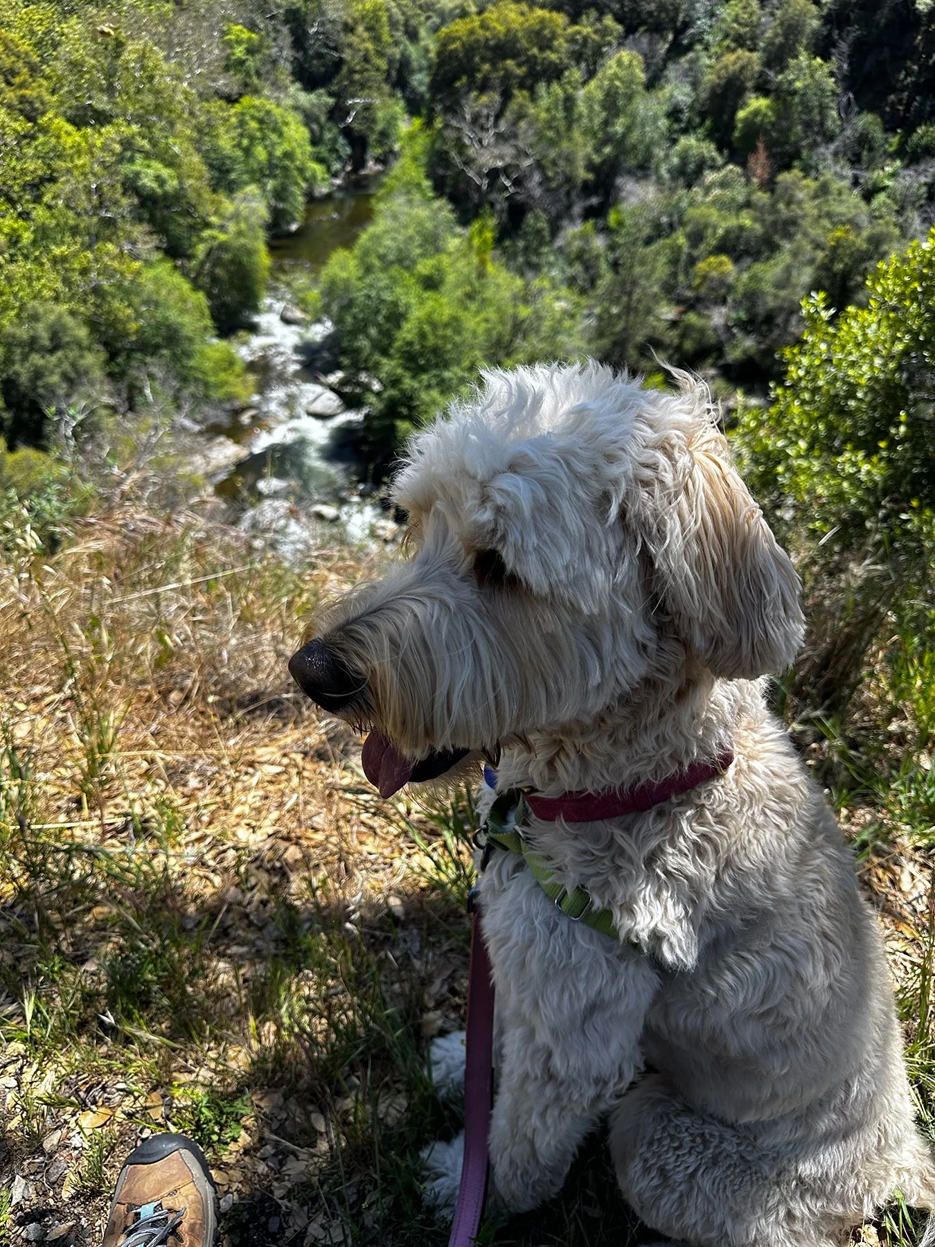
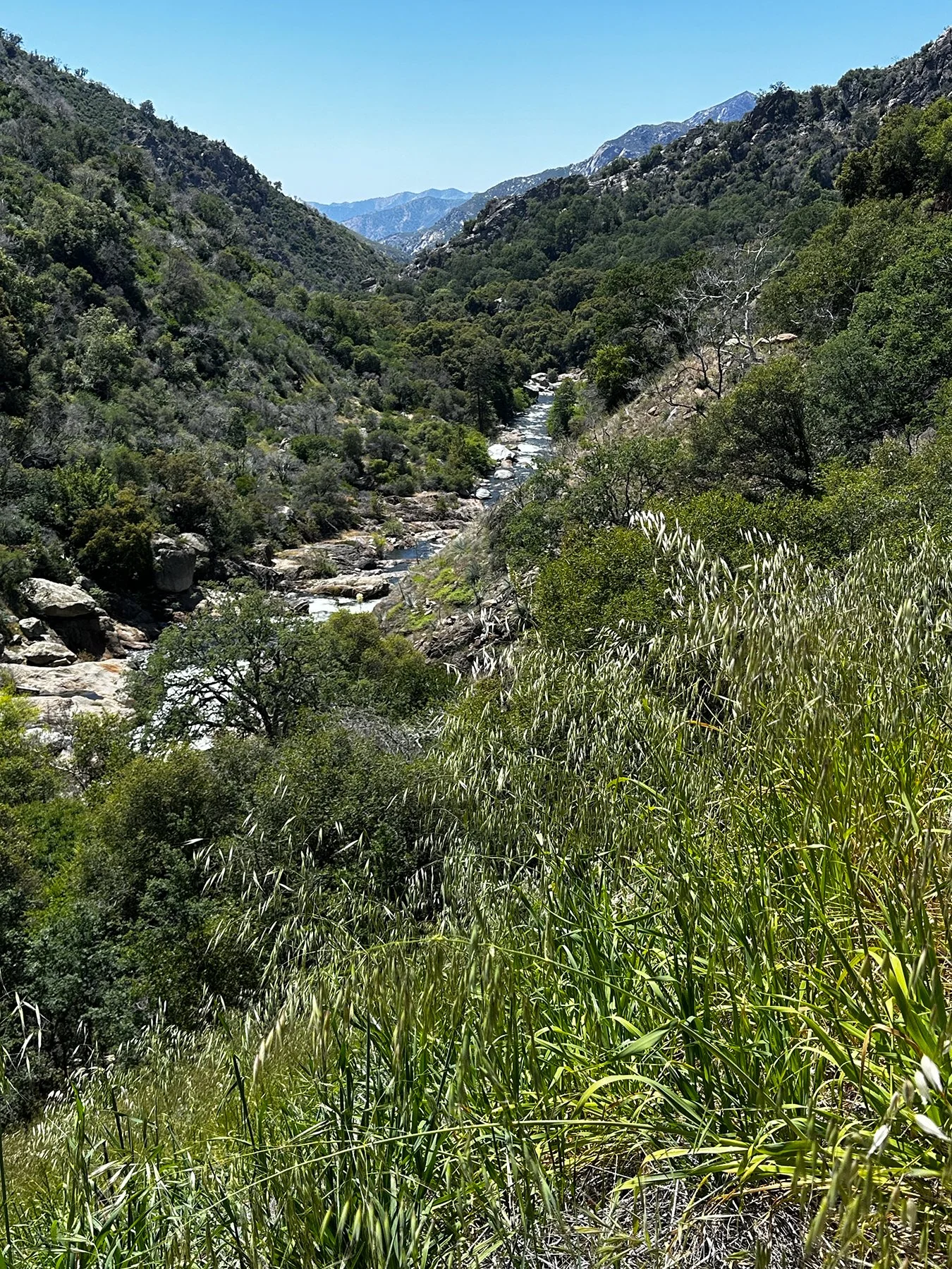
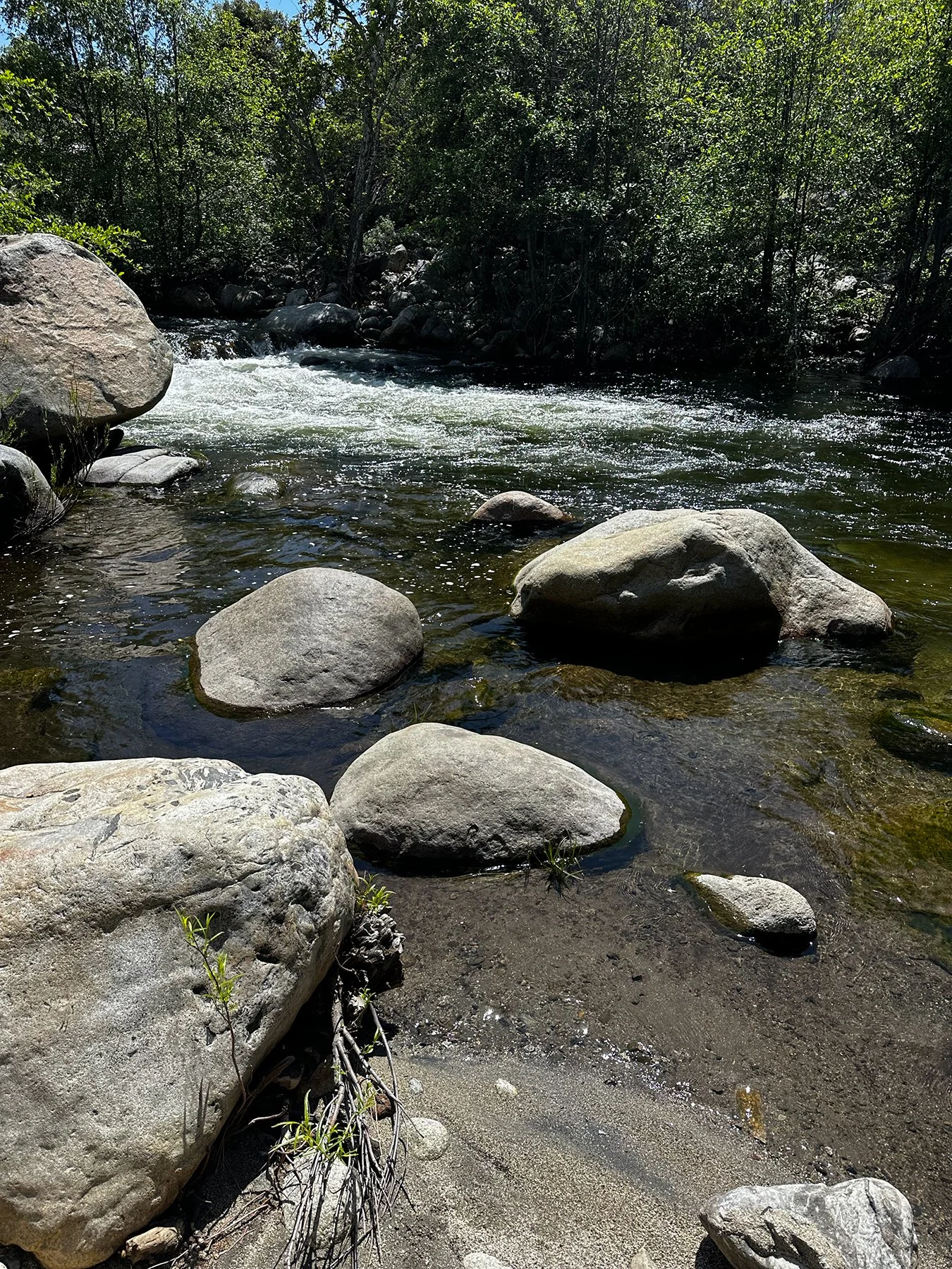
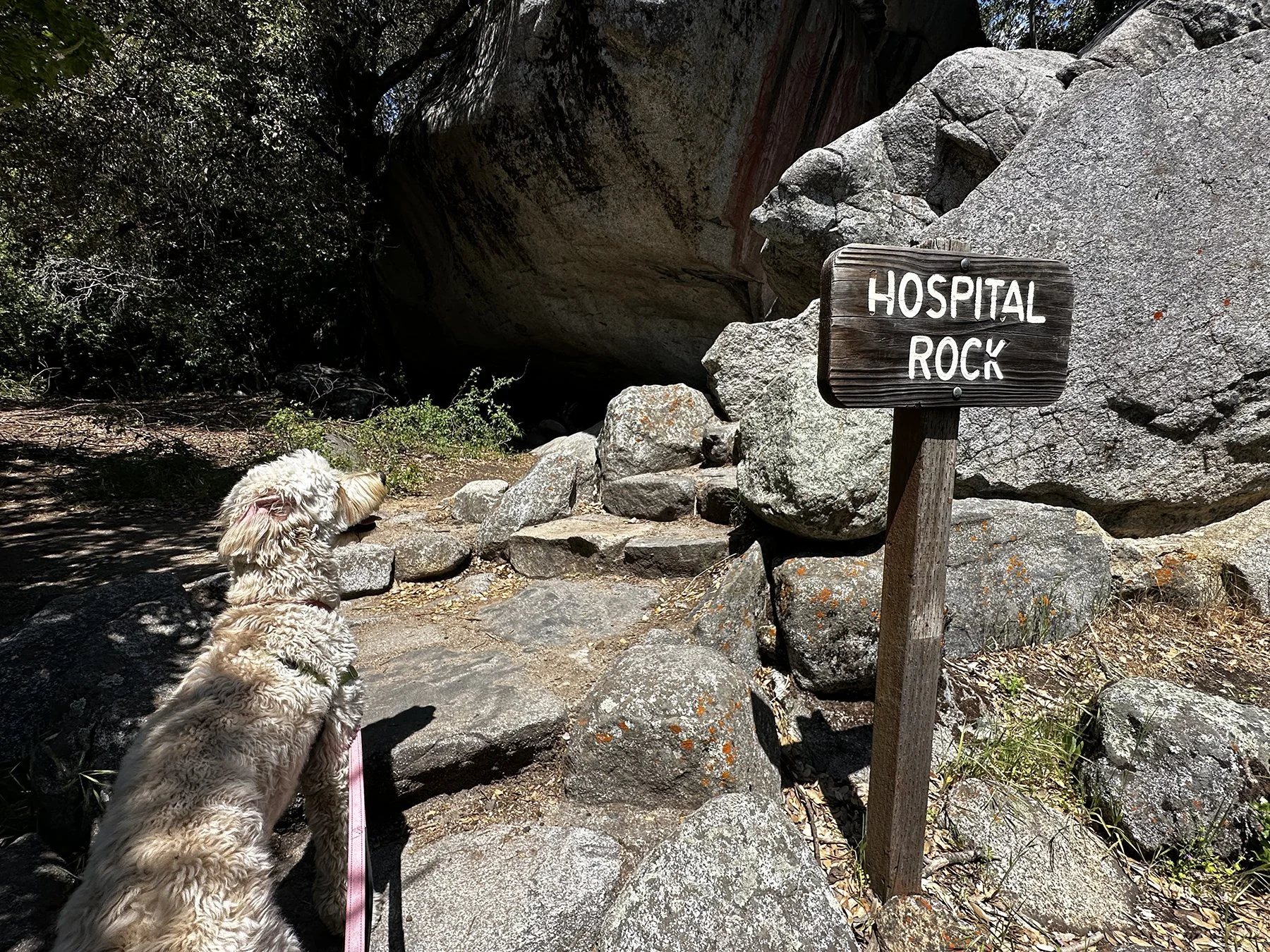
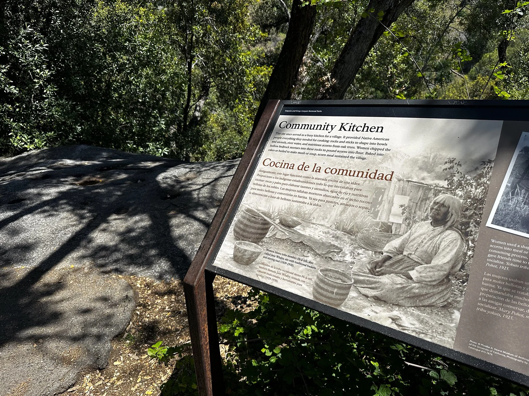
All in all, I am incredibly grateful for this opportunity to explore these amazing parks. As I’ve said numerous times, I wouldn’t have chosen the path that led me here—the loss of my husband who was my best friend, becoming an empty nester, and fully retiring, all within 6 months. But I count my blessings every day and do my best to see the world through Michael’s eyes. Thanks for coming on this journey with me.
La-La Land
What a crazy week. I had only planned to stay four days in the LA area, so of course managed to squeeze a lot in. LA is so dang big! I had to be strategic about my day trips because their well-known traffic problems are no joke. It rained all morning my first day there, so I had to delay my plans several hours. That was honestly the first rain I had seen in over a month, so no complaints here. I had some fun stops planned for the day!
Fun Stop #1: The Rose Bowl!
It was so gratifying to return to the site of the BEST COLLEGE FOOTBALL GAME EVER PLAYED (go ahead, argue with me)! And though I have been privy to quite a few truly spectacular college sports events, this one surely tops them all. That iconic game, played on Jan. 4, 2006, is intertwined with fabulous memories from that entire weekend. Michael and I flew out with Maddy, almost 8, and McKamey, who just turned 4 on Jan. 3, along with besties Rick, Susana and their 6-year-old son Travis. We had four tickets to the game. But oops! What to do with the kids? My dear sweet Michael—one of the kindest, most generous people in the world—volunteered to stay back at the hotel with the littles while the rest of us went to the game. But wait—did he volunteer? Or draw the short straw? I honestly don’t remember ;-). We all wanted to go to the Rose Bowl Parade, of course, but the tickets were quite expensive. But you know how much ONE game ticket to the National Championship Game at the Rose Bowl was worth back then? About SIX tickets to the expensive parade. So yes, we traded with someone.
What a day. Watching the Rose Bowl Parade every New Year’s Day was a tradition for us that went pretty far back. We couldn’t wait to watch those iconic, flower and seed-coated floats go by, the marching bands, the dancers, the horses. Unfortunately, though, Mother Nature had something else in mind. Do you know the last time it had rained at the Rose Bowl Parade prior to 2006? 1955. Y’all, it had been 51 years since a drop fell on the parade! I mean, I like to set records, but that was not one I would’ve asked to be a part of. It was cold and raining hard the whole time. The poor kids were freezing. We cut out of there a little early to just watch the rest on the hotel tv. Not gonna lie, that was a bummer.

But then … The Game. Wow. To not only be in such a legendary stadium, but to be connected to a team playing in the national championship, and then “unexpectedly” winning it? Absolutely epic. Being a member of the UT Athletics staff definitely came with perks. But also a lot of hard work. Back then, we produced Media Guides for each sport at UT. You do know that everything is bigger in Texas, right? Well, the guide I produced with Media Relations Director and friend John Bianco the next fall was more than 500 pages! Not only to highlight the big win, but Coach Mack Brown wanted to be sure to honor every piece of our history—ever record, every honor, every letterwinner. I won’t even tell you how many tens of thousands of dollars it took just to mail those out to media, Longhorn Foundation members and recruits. I mean, it weighed like 6 pounds! I still have one, weighing down a storage tub somewhere :D.


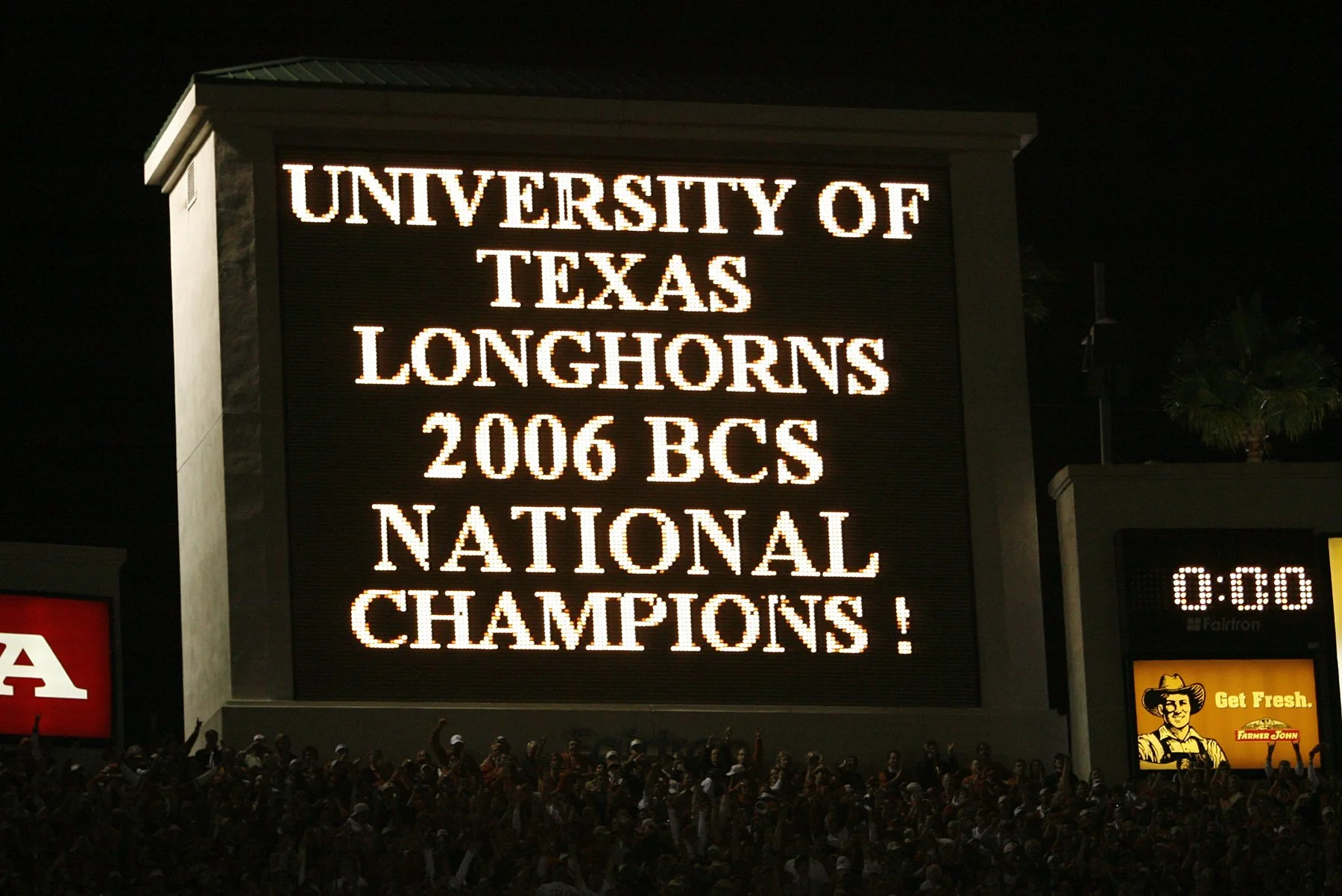


Back to 2026 … It was great just to walk around the outside of this iconic venue, tripping down memory lane. There were more than 100,000 fewer people around this time, giving us lots of space to soak it in.
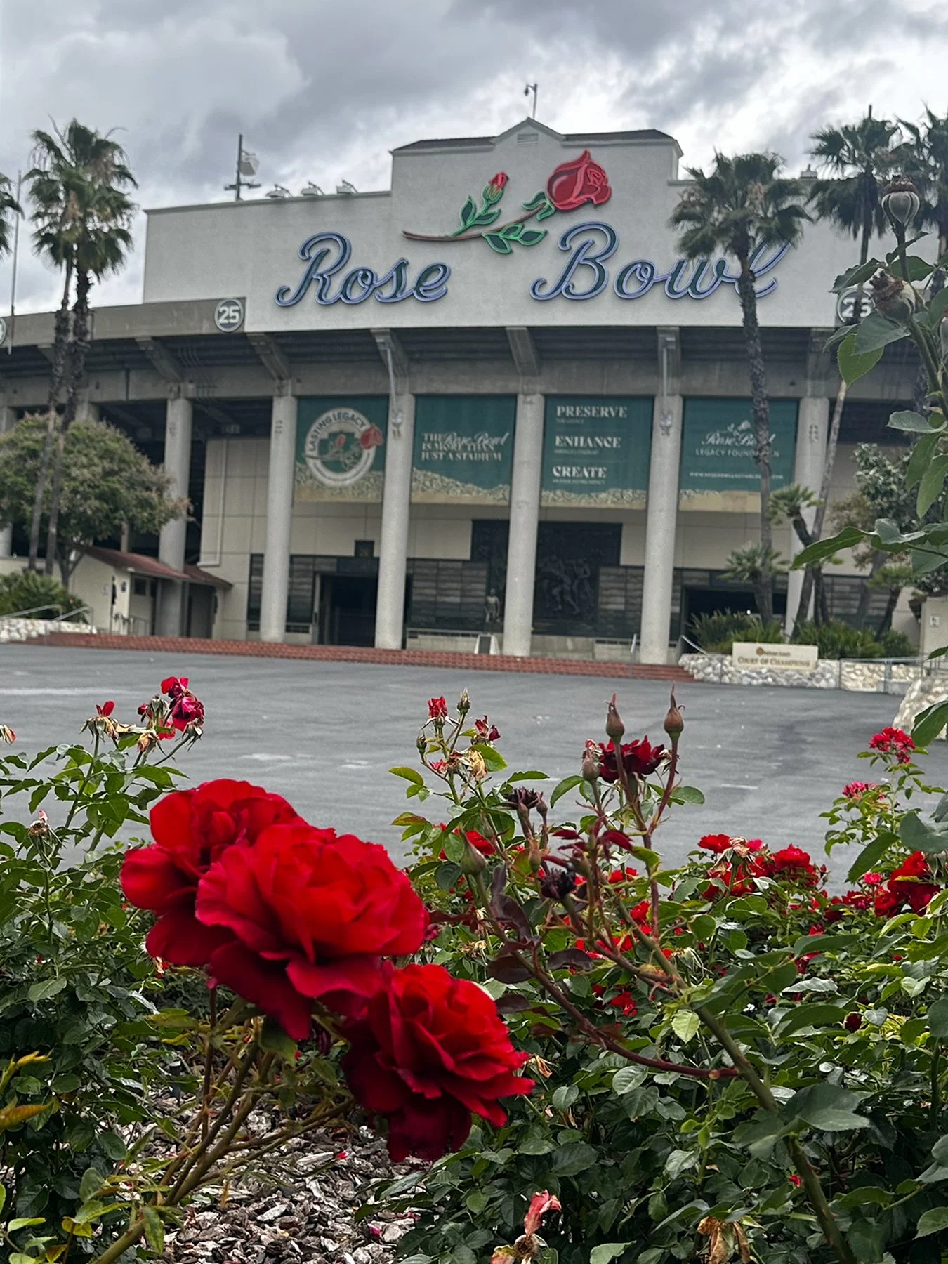
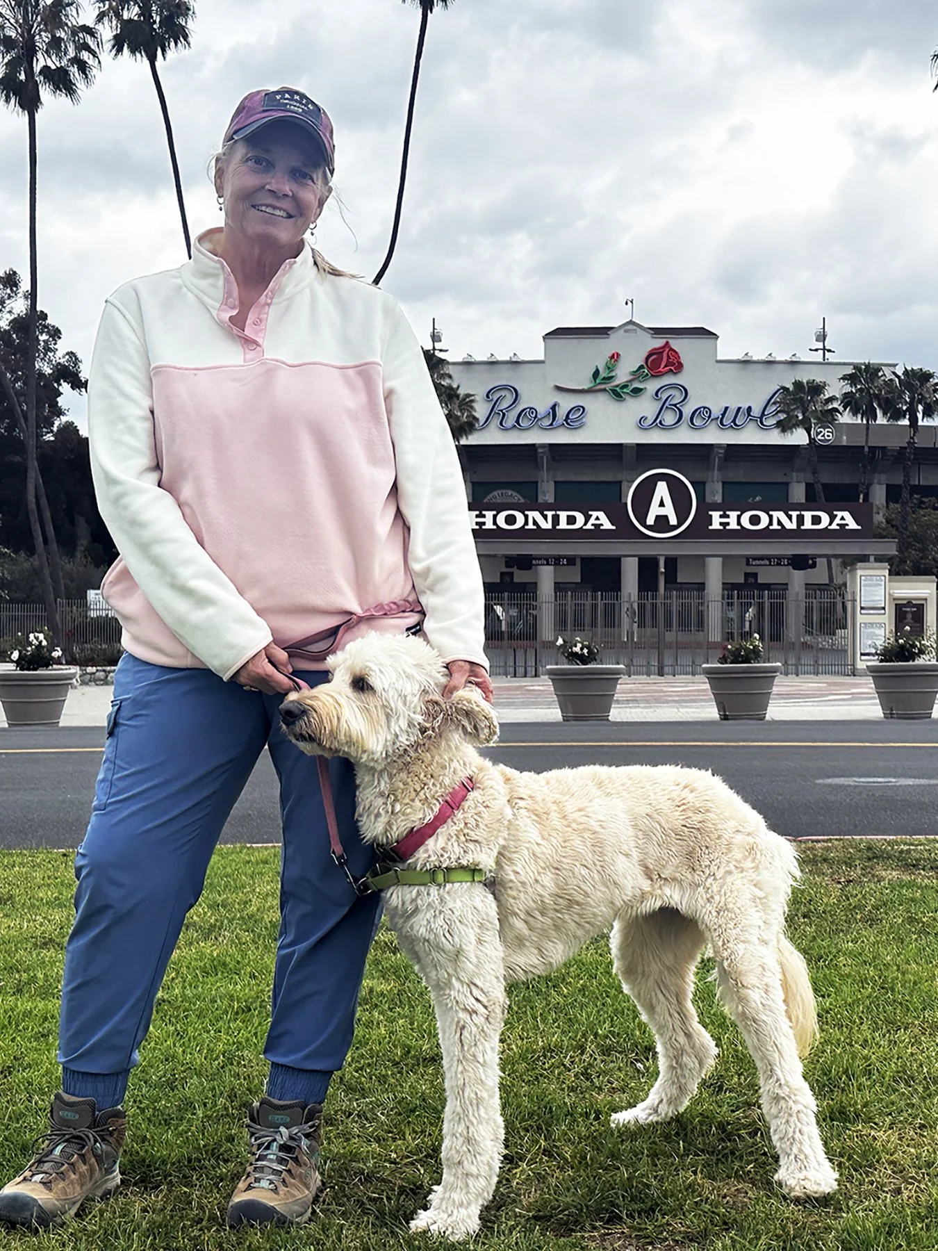
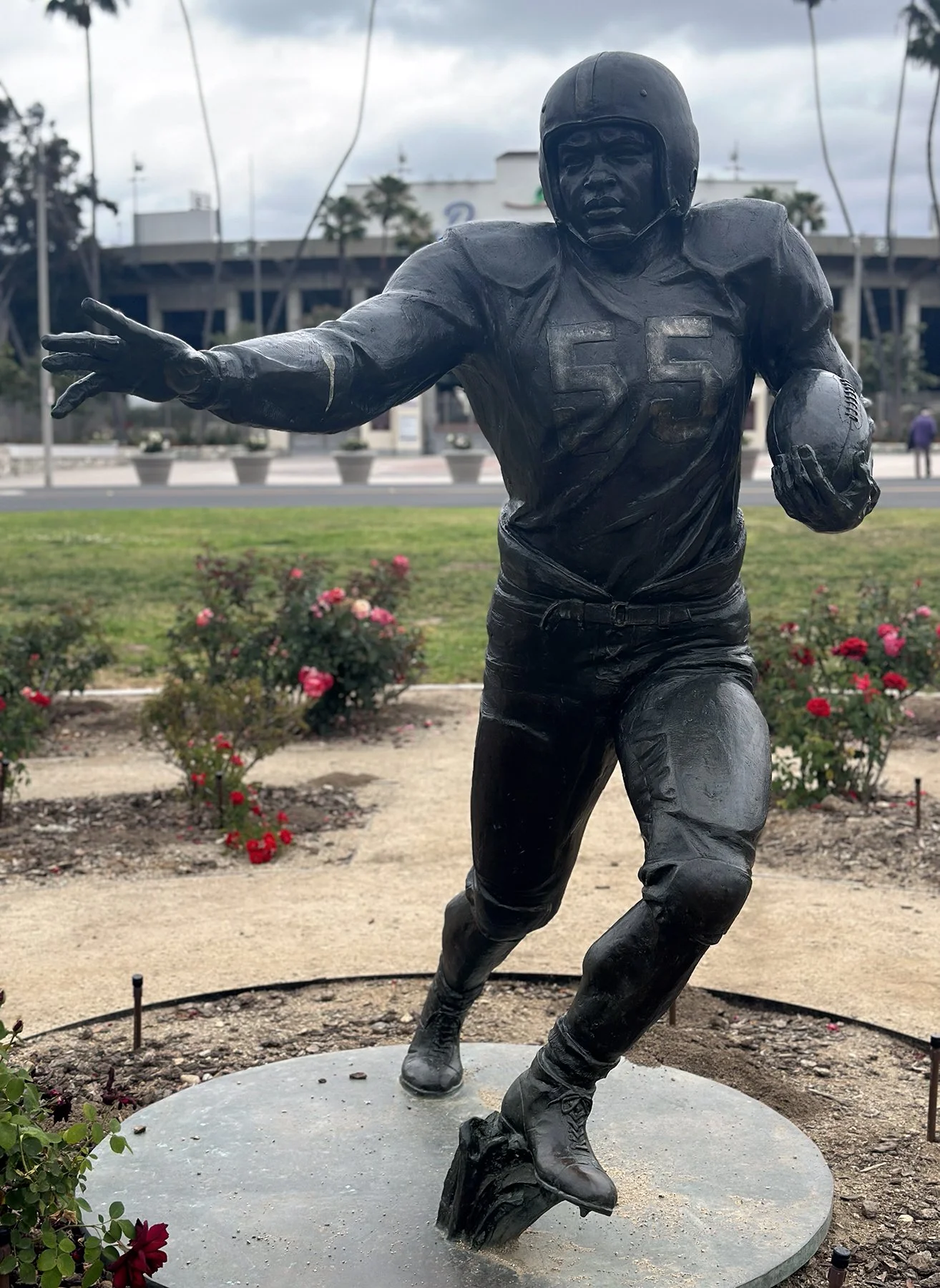
Fun Stop #2: Hollywood Hills
How could I be in LA and not go to the famous HOLLYWOOD sign? All the times I’d been in the area before, which is probably less than a dozen, I was never able to wander about and go wherever I wanted. Whether I was with teammates on a volleyball trip, or chasing my awesome daughters around, we could only do so much. So Maisie and I went to Lake Hollywood Park to get the best views of the iconic sign. It was originally erected in 1923 as a temporary ad for a local real estate development (and read “HOLLYWOODLAND” back then). “LAND” was removed in 1949, and the sign was entirely replaced in 1978 with all-steel 45-foot-tall letters.
Next, I wanted to be sure to drive segments of Mulholland Drive. The 21-mile long mostly two-lane road loosely follows the ridgeline of the eastern Santa Monica Mountains and the Hollywood Hills. The portion we took included narrow roads with tight hairpin turns and houses very close to the road. With the rain pushing us to start later in the day, we didn’t get the chance to traverse the entire length of Mulholland, but what we did drive was stupendous! We stopped at a few famous scenic overlooks, some of which offered views of the Los Angeles Basin, the San Fernando Valley, Universal City, and Downtown Los Angeles. We even took a 2.5-mile hike along one of the ridges on the Drive.
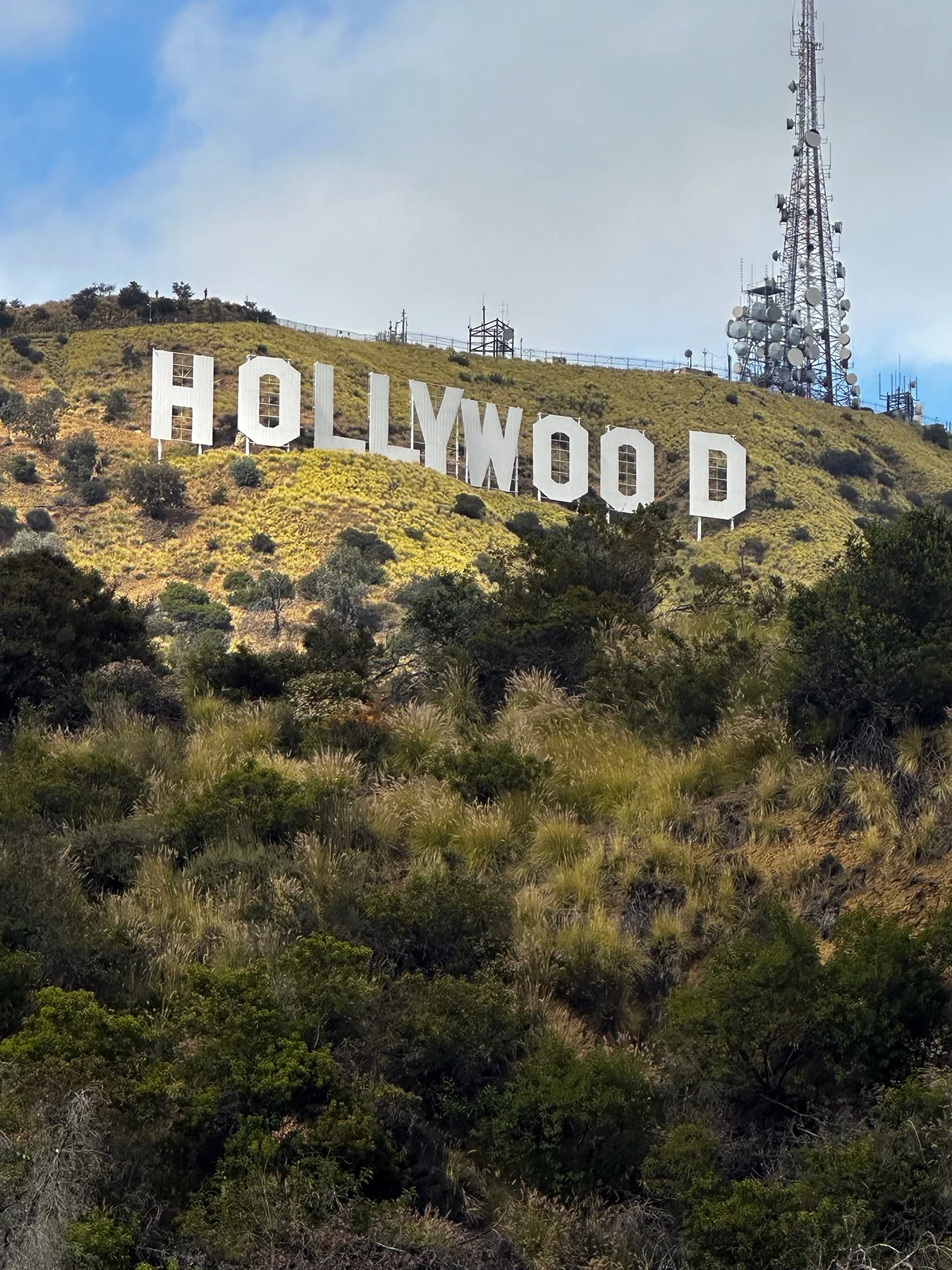
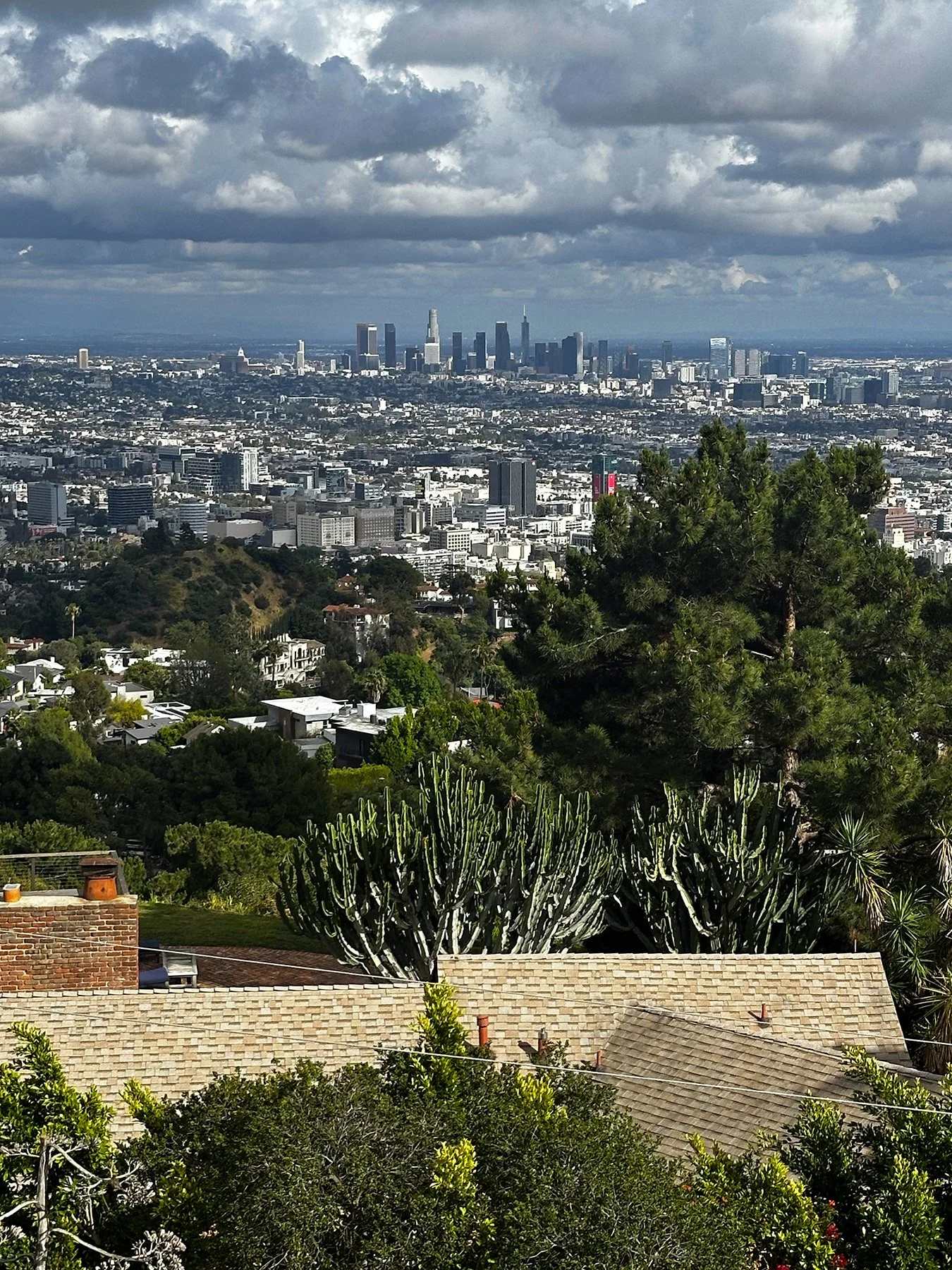
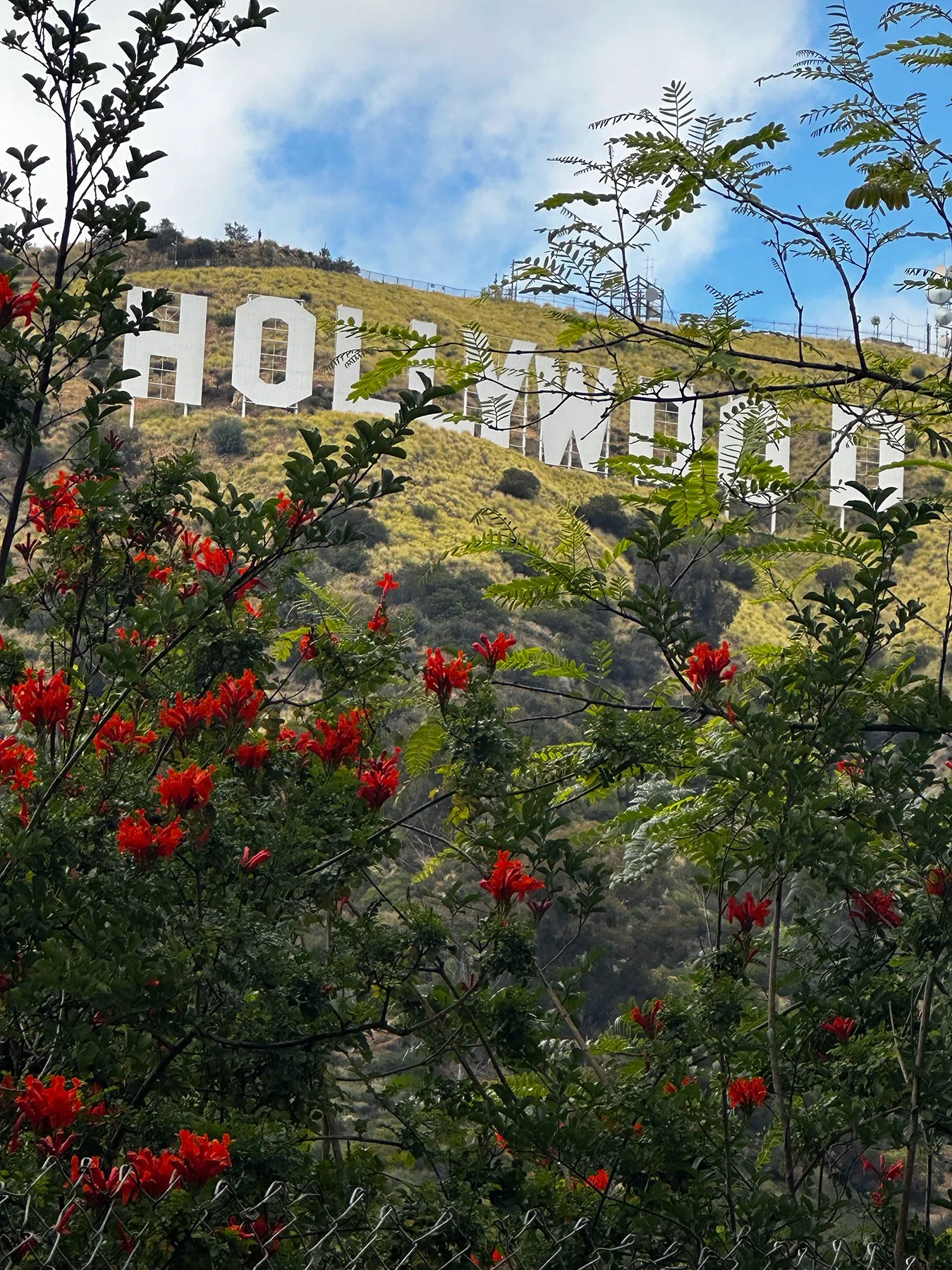
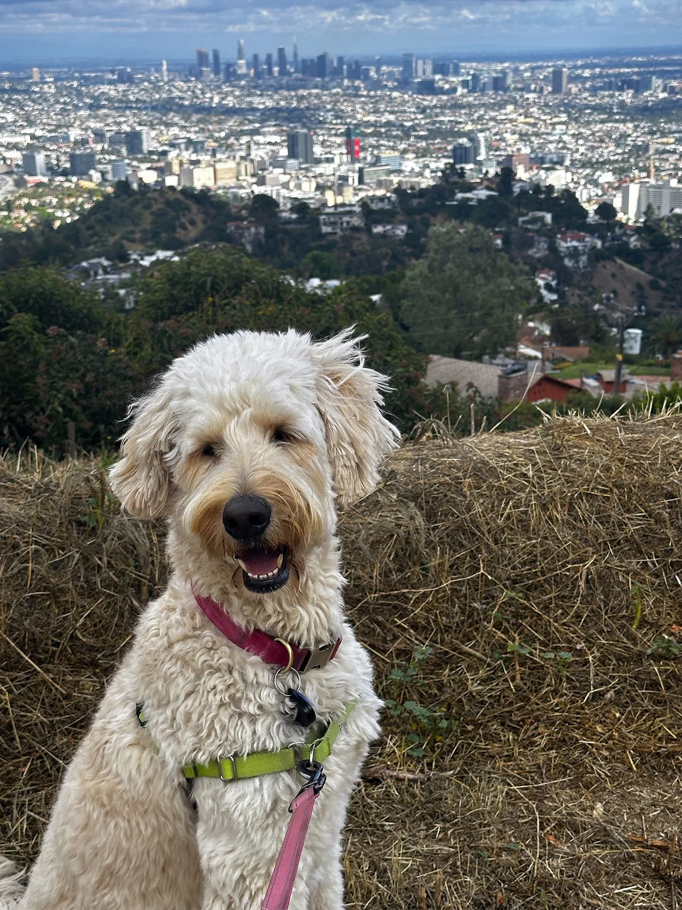
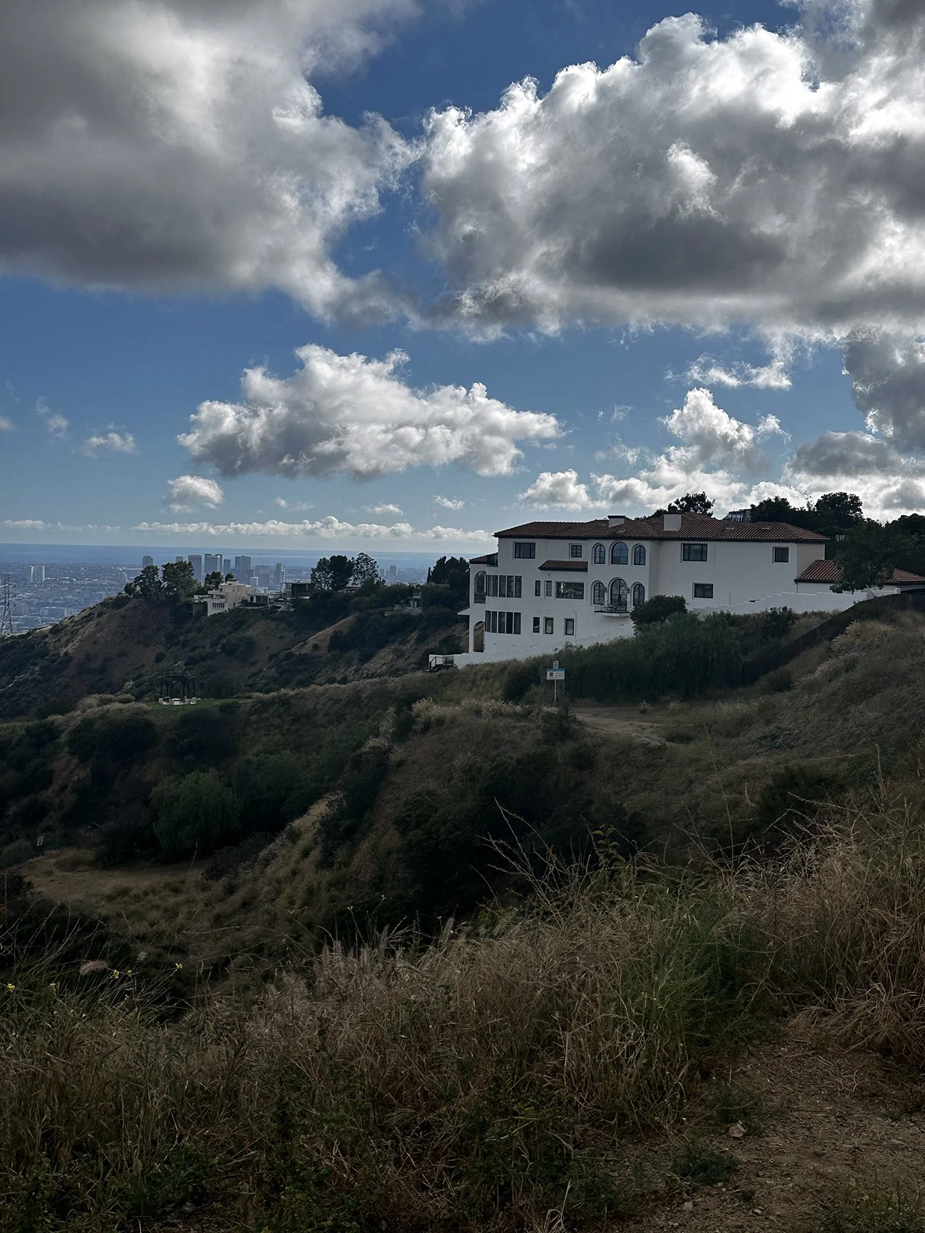
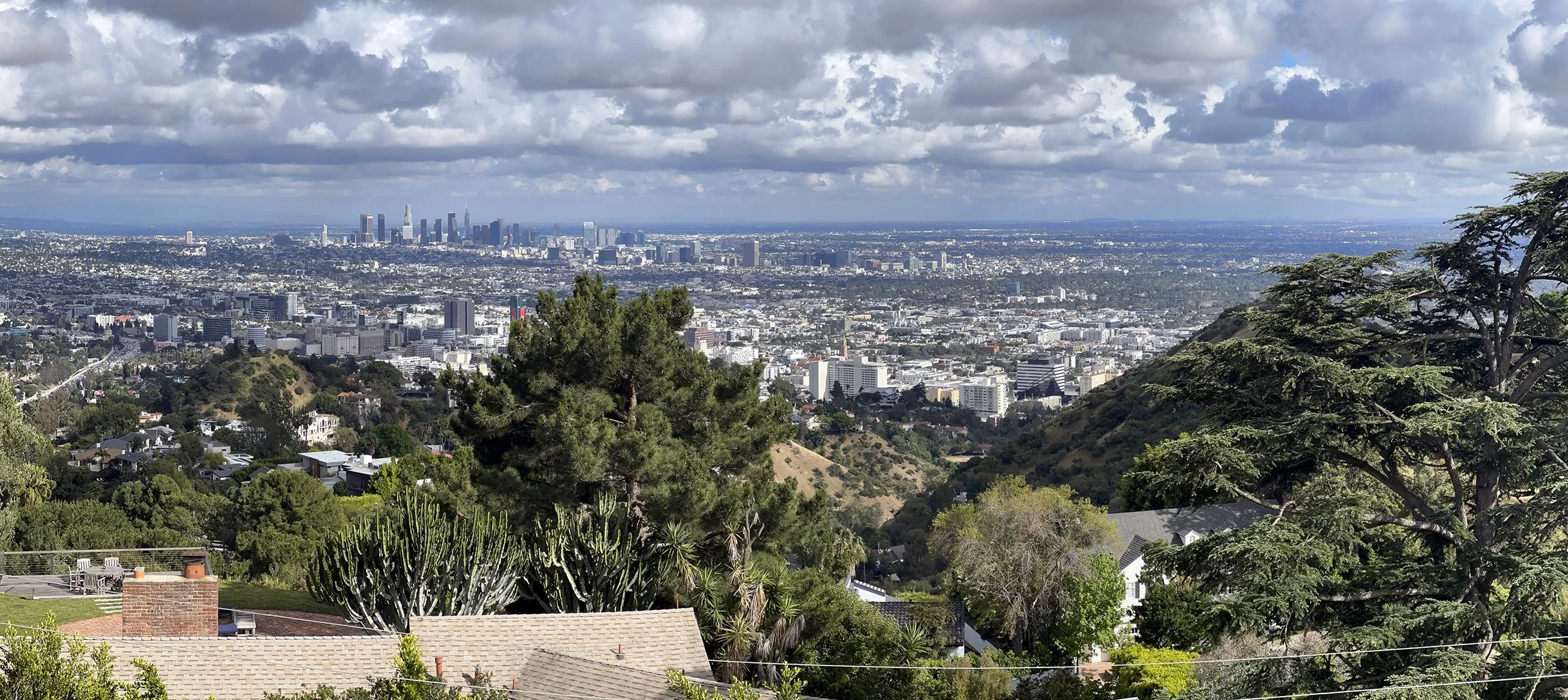
Fun Stop #3: There’s the story of a lovely lady …
Y’ALL. Maybe I should be embarrassed but, if you know me, I’m NOT. This next stop was the geekiest geekout of the trip so far. I found the address for the actual Brady Bunch House. SQUEEEEEE. Seriously! Yes, I know it was just used for opening scenes, but still. Talk about iconic. They even had a 1970s era station wagon parked out front. I.CON.IC. If you’re anywhere near my age, I’m sure you get it. Right?
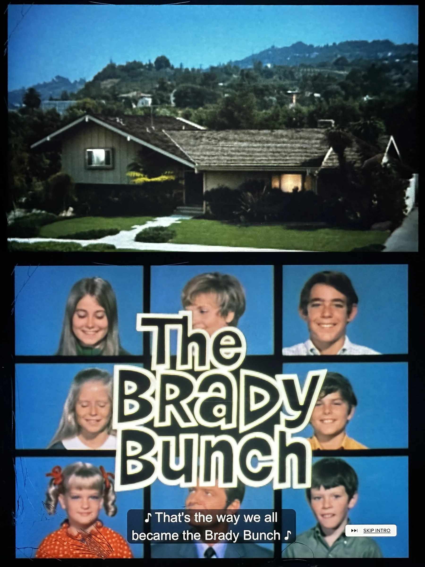
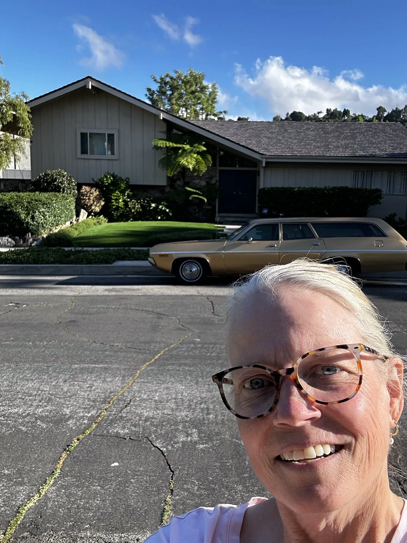
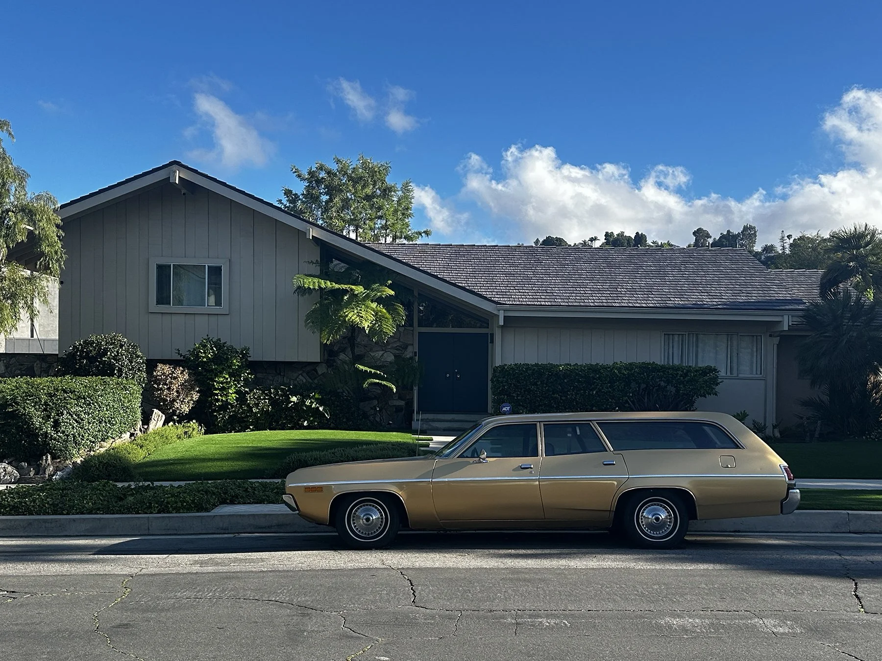
Feeling like Maisie could stand to stretch her legs after all that driving around Hollywood Hills—ok, I needed to stretch mine, too :D—I asked Siri to find a dog park within walking distance of the Brady House. So we were directed to St. Barks Dog Park—what a cute name, right?—just 1.9 miles away. Perfect. We hiked through the neighborhood for a bit. It was further away than I expected (why does 1.9 miles always sound so close?). But that’s okay; like I said, we needed the steps. And I figured I could sit on a nice park bench while Maisie ran around off leash once we got there. We finally approached the entrance, only to see a locked gate. WHAT? Taking a closer look at the sign, it said “St. Bark’s Private Bark Park.” Private. Ugg. Oh, well, lesson learned! And the hike back to the truck wasn’t too bad. Except for the sketchy person who was talking to himself about half way back. No worries—we crossed the street and headed on our way through a very walkable neighborhood that the Brady House resided in.
Fun Stop #4: Burbank
By now, it was approaching time for the sun to set, but I really didn’t want to head back to our beachfront campsite in Ventura while driving straight west into the sun, nor did I want to get on a crowded freeway, so why not just go to Burbank? Afterall, it was just a couple of miles away. Perfect.
I’ve heard about Burbank though the years—most notably, perhaps, that it’s where the Johnny Carson show was filmed. A number of media and entertainment companies are headquartered or have significant production facilities there—often called the "Media Capital of the World" and only six miles northeast of Hollywood—including Warner Bros., The Walt Disney Company, Nickelodeon Animation Studio, The Burbank Studios, and Cartoon Network Studios. I suppose if I had a few extra days and a dog-sitter, I might have hung out there a little longer, but I guess it is what it is! Still making lemonade …
We found a legal place to park :D, and walked down to the main entertainment area. It was charming, quite walkable, and full of shops and restaurants, as you might expect. I decided to stop for a slice and a soda to refuel for a little more walking around. It’s just such a beautiful area! I happened to spot a Ben & Jerry’s on the corner so just HAD to stop. I mean, how could I not? Lol.
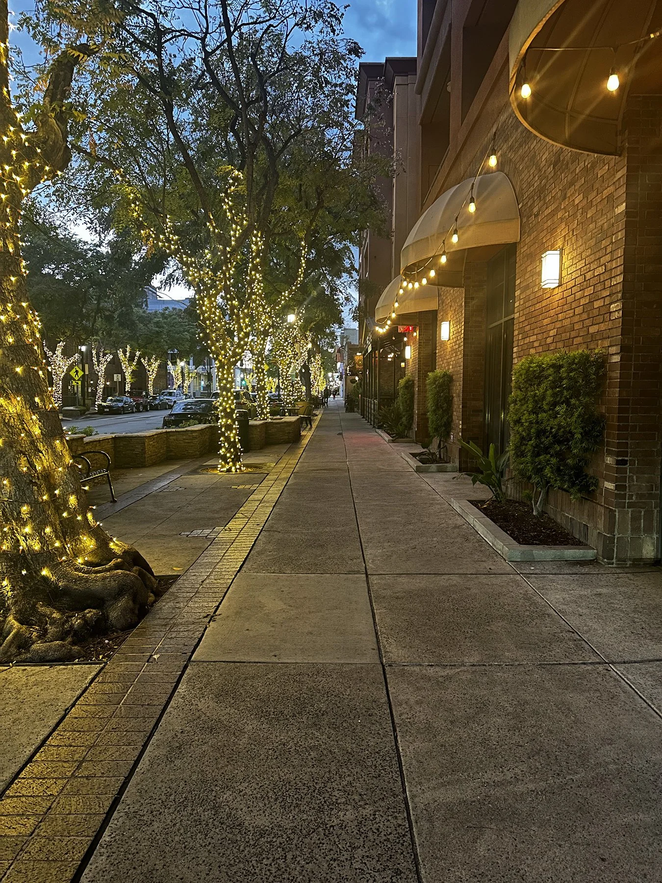
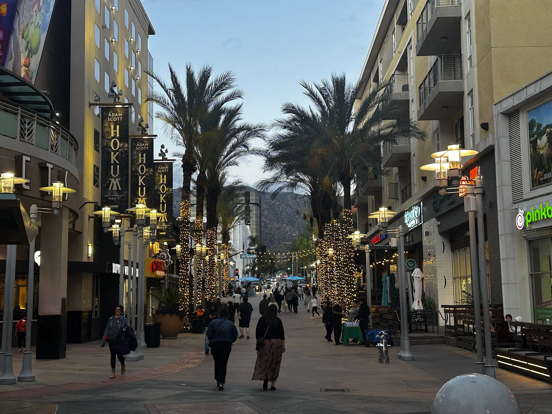
DAY TWO.
Fun Stop #5: MPSF Beach Volleyball Championships
In 2022, UT added women’s Beach Volleyball as its 21st intercollegiate sport. Now in just its third full sanctioned season, they are ranked #2 in the nation and are, at this moment, headed toward the national championship tournament. So was I thrilled to discover they would be playing in Huntington Beach while I was in the LA area? Absolutely! I’ve even done some banners and other graphics for them this season, but hadn’t seen them play in person. They were here playing for the MPSF (Mountain Pacific Sports Federation) championship. Why, you ask? Because the SEC doesn’t sponsor beach volleyball (yet), so Texas joined other elite teams like Stanford, UCLA, USC, Cal, etc., for this conference championship. I could only attend the first day of the 3-day affair (after all, Ventura is not only 90 miles from Huntington Beach, but in LA, that means a 2+-hour drive), but it was way cool watching them play and meeting some of the family members.
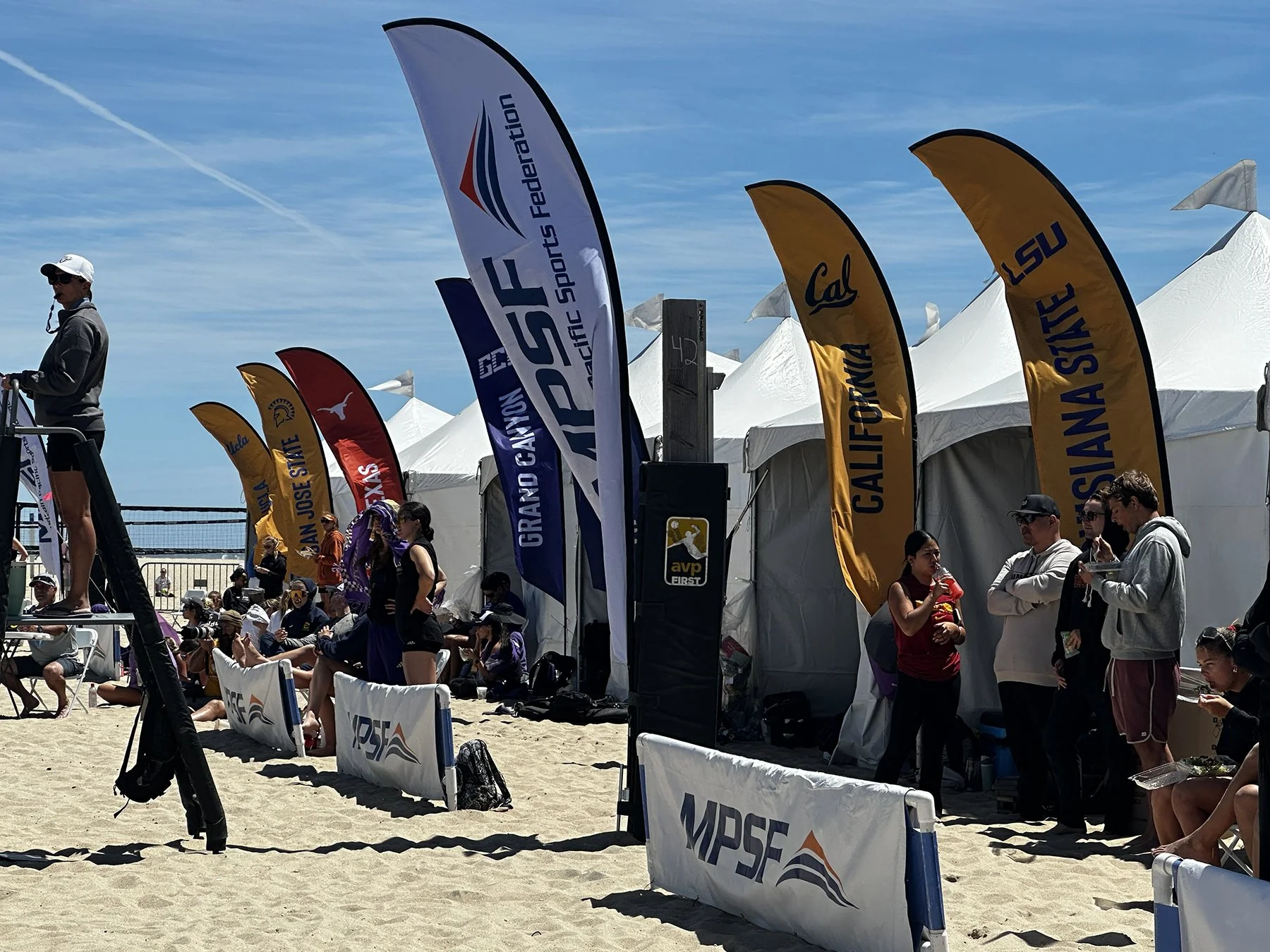
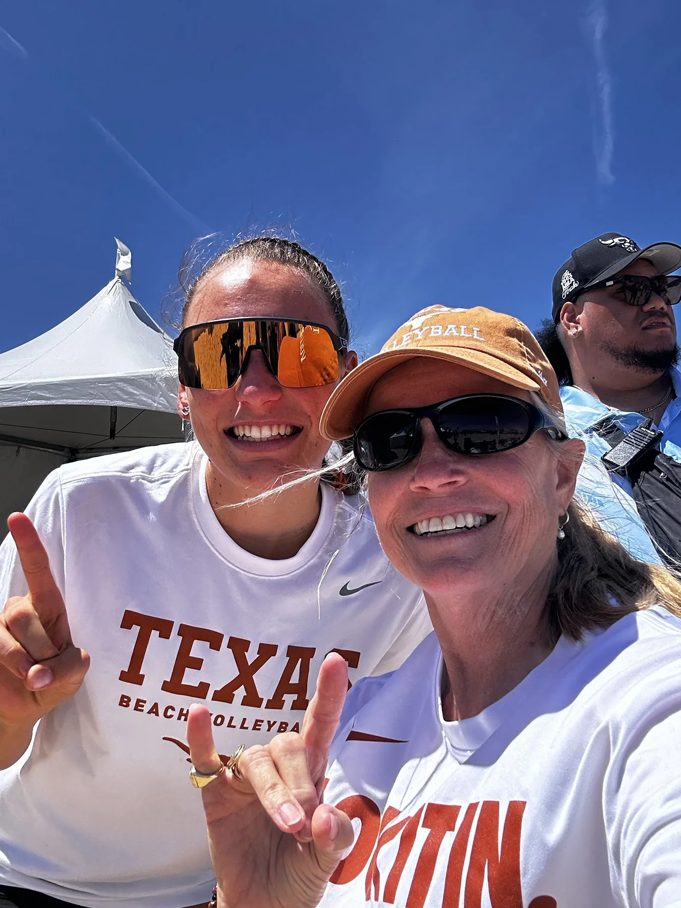


Fun Stop(s) #6: SoCal Beaches
After hanging out for a bit and having Maisie loved on by everyone, we headed up Hwy 1 to take in some of the better known Southern California Beaches. After cruising through Seal Beach, I decided to stop at Redondo Beach and walk around. It’s just so very pretty! We then drove through Manhattan Beach, which also was beautiful but the houses sure were stacked close together down toward the water! We mostly did a drive-by as there are only so many hours in the day, you know?

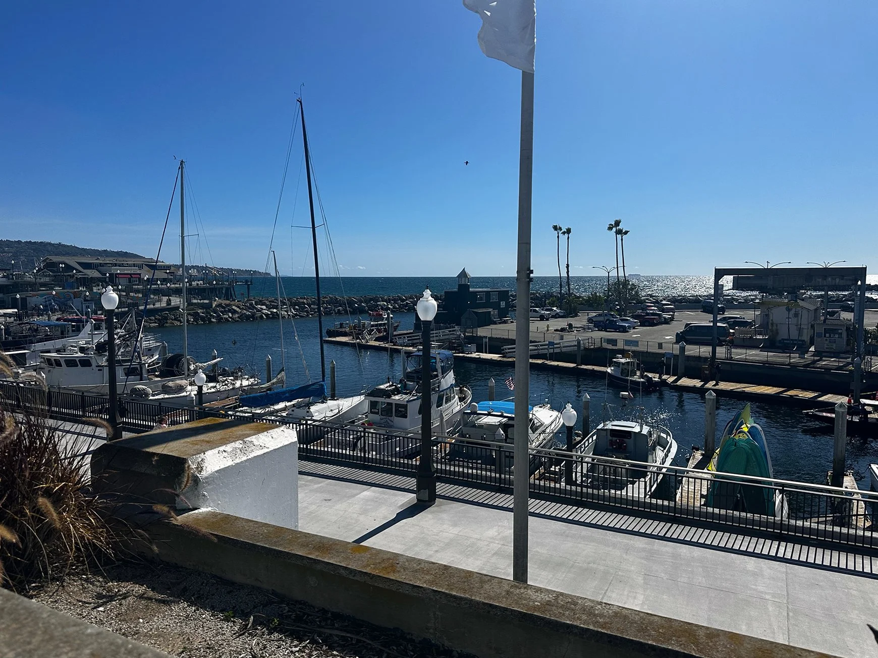
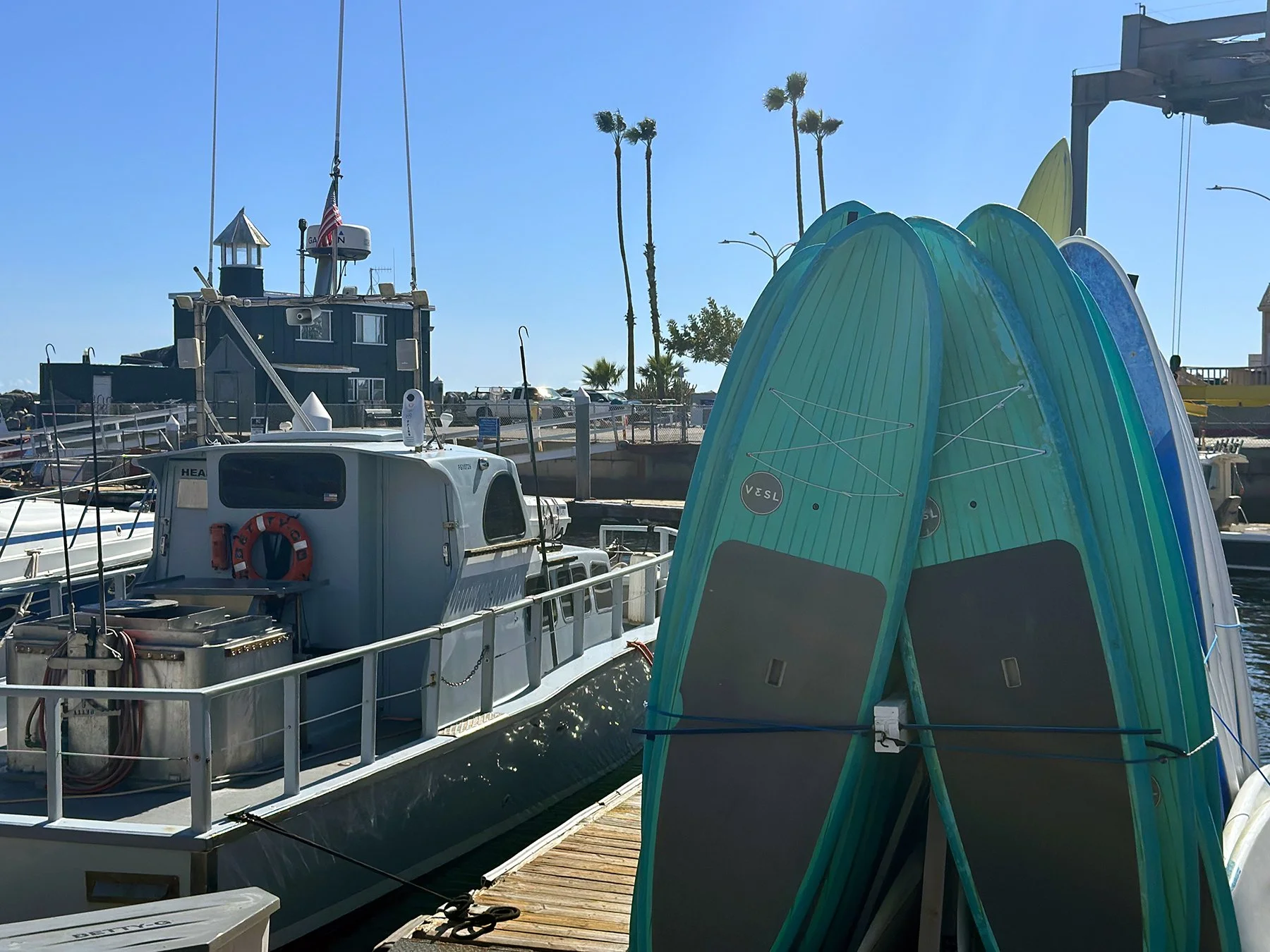
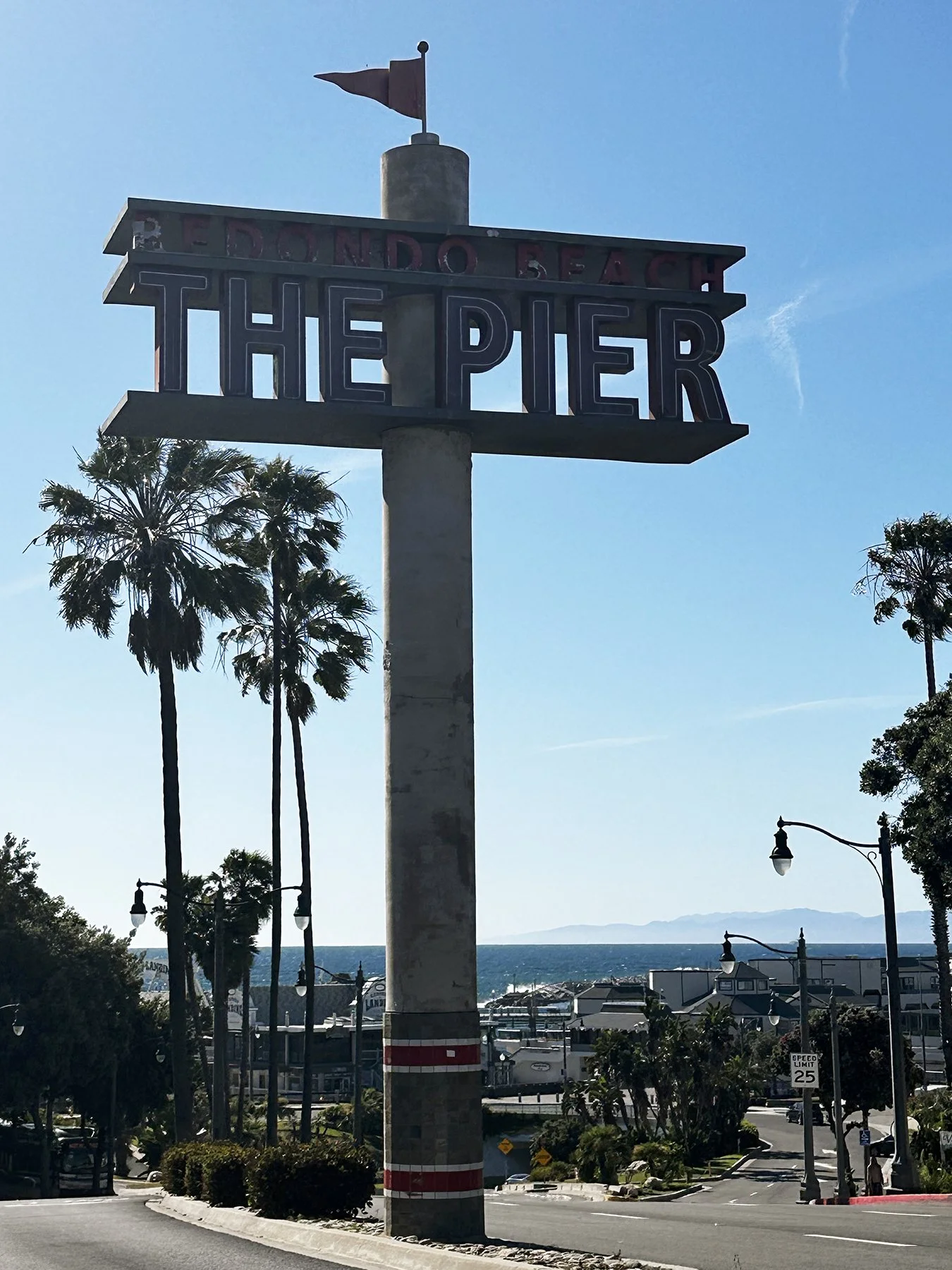
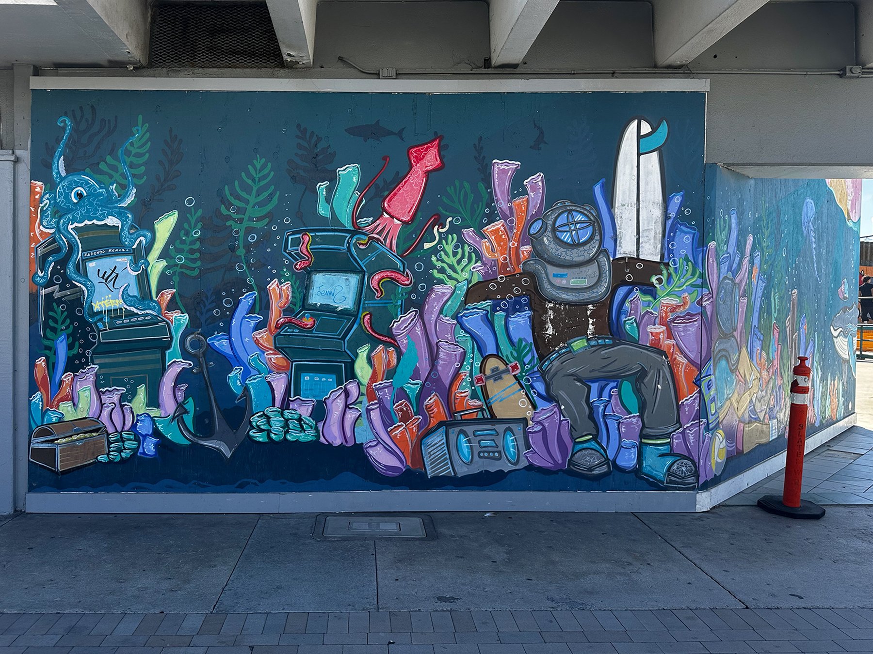
Fun Stop #7: SoFi Stadium
Oh my gosh, y’all—it may be a little weird (?), but I just LOVE football stadiums! Especially college ones, but if given the chance, I love to see pro stadiums as well. Particularly when they are considered an architectural wonder and only 5 years old! Have you heard of SoFi Stadium, or maybe even been there yourself? Home to the LA Rams AND Chargers, and site of the 2027 Super Bowl, it truly was stupendous. They put a lot of thought into the area surrounding it by utilizing beautiful native landscaping, including a lake complete with ducks, making you forget there are a ton of parking lots outside the gates. Of course we walked ALL the way around the stadium. And of course, the gates were all locked. I didn’t get lucky and find a partially-open lock this time, darn. But I did finally find an entrance where a few staffers were milling about, so naturally I had to ask the security guards if we could come in and just “sneak a peek”. He said that unfortunately, no, because they were pretty much in lock-down mode due to hosting some of the upcoming World Cup Games. Understandable.
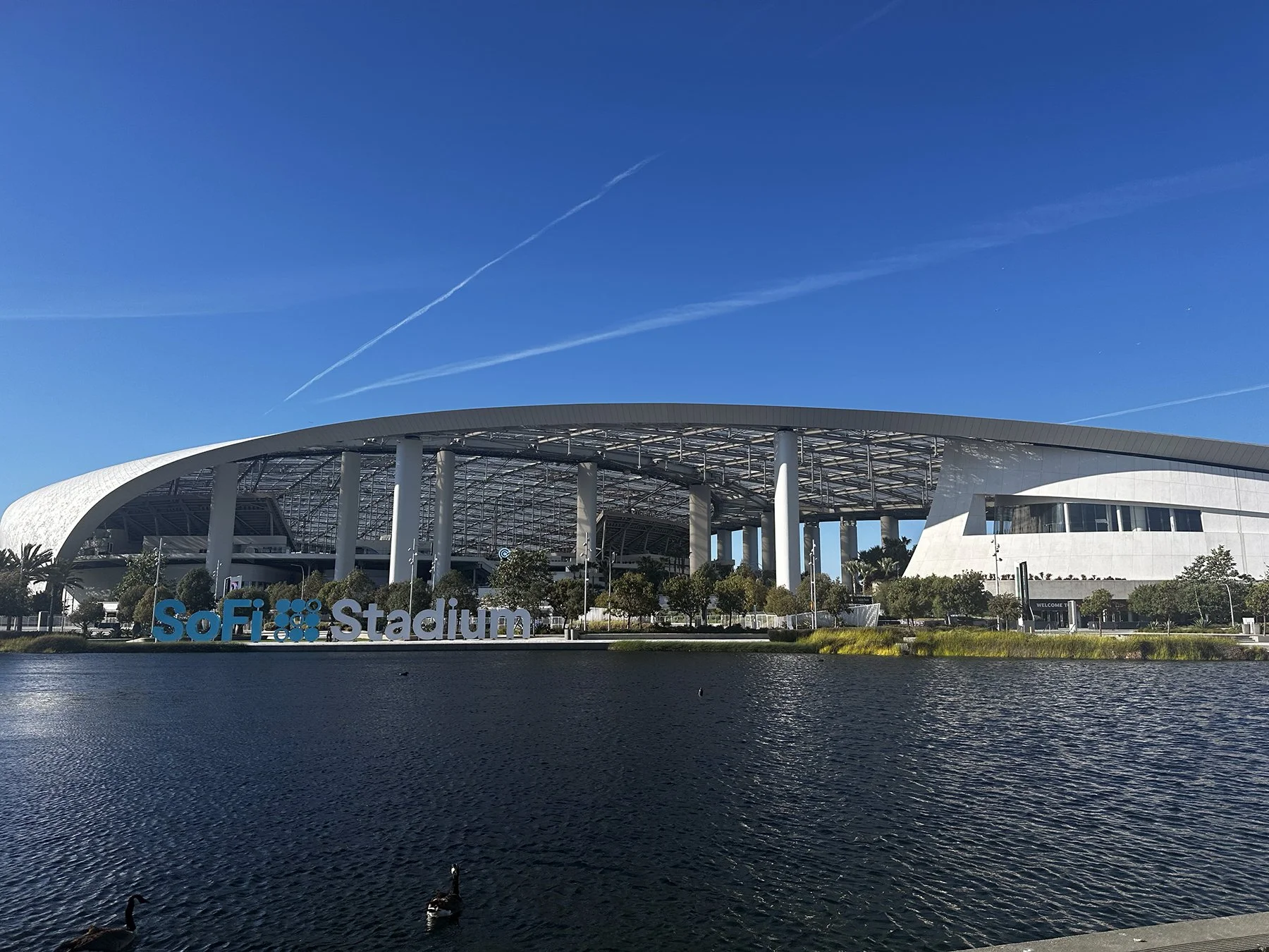
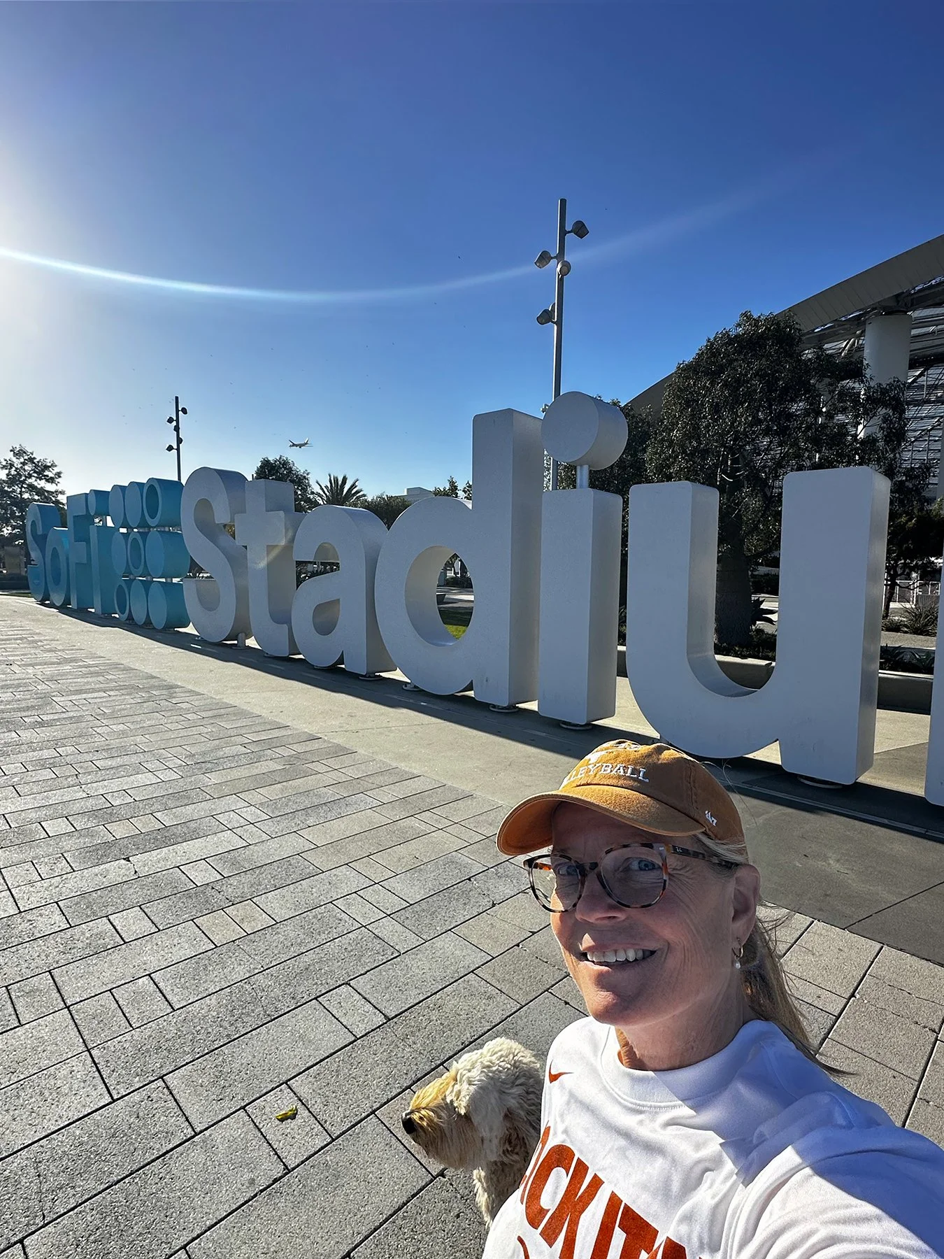
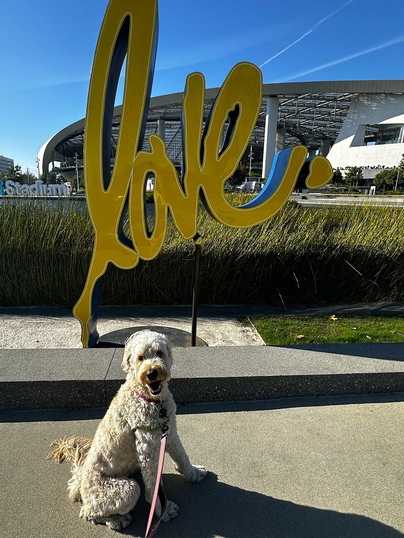
Fun Stop #8: UCLA
Though starting to get a bit late in the day (like when did that ever stop me from continuing to explore?), it was time to head over to UCLA. (I actually had Venice Beach and Sunset Blvd on my to-visit list after SoFi, but started running out of time, so chose one of my favorite things to do—touring college campuses—and axe’d the others). We made it to the edge of campus and miraculously found a parking spot on a busy street next door. Suddenly starving, we swooped into an In-and-Out that was FULL of students and medical center staff. And I mean FULL. It was such a zoo! But also a hoot. Maisie and I needed to sit down for a minute anyway, to fuel up for our campus walkabout. We put in a couple of miles seeing a portion of the campus – the main building, some of the athletic facilities (of course), and some lecture halls. Coming upon Pauley Pavilion, I had a flashback. My team at Tennessee competed in a huge tournament involving collegiate teams from around the country before conference play started. I remember walking around campus with all my teammates between matches—the California sunshine was something to behold! Palm trees, blue skies, moderate temps, beautiful beaches … not gonna lie, but that was a little foreign to me at the time. You know what else I remember about being at Pauley Pavilion? Well, after three days of pool play, all of the teams that had competed were starting to fill the stands to watch the championship match. (And no, we were definitely not in it.) Elite players from elite teams like UCLA, Hawaii, Long Beach State, Stanford, Pepperdine, Texas. So we’re walking down the STEEP steps in the aisles of the arena, and who trips and falls? Me, of course! Was I mortified? Probably. But you know what I did? I stood up and took a bow, laughing along with everyone else.
Back to modern history … I just loved walking around campus again! The sun was beginning to set, students were all out milling about, getting excited about upcoming graduations, I’m sure. A long line of students was forming outside the gates of what looked like a big soccer field. Because I’m just so shy (NOT), I went up to the front to see what was going on … and it was a film screening, of course! I mean, we are in LA, right?
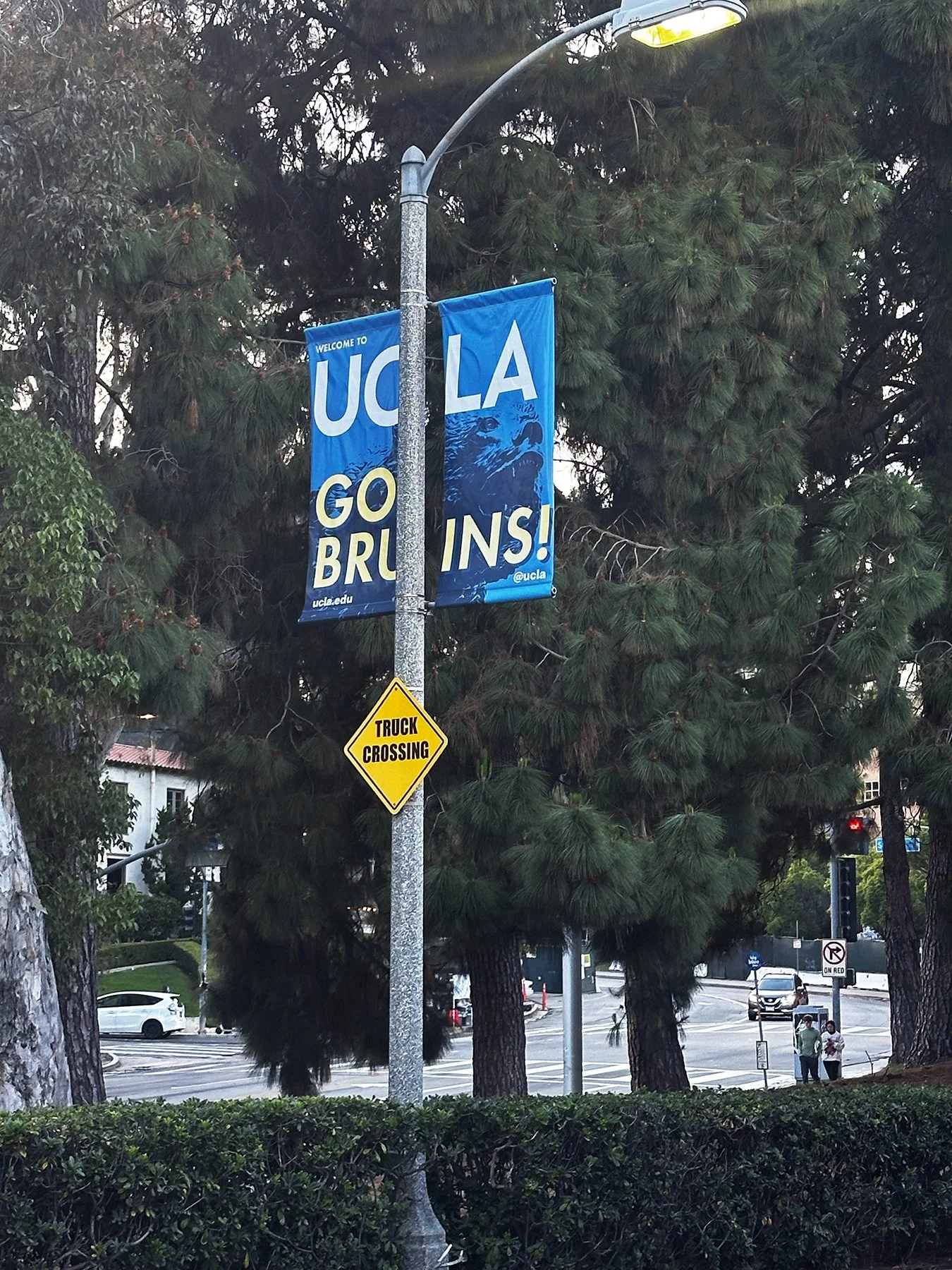
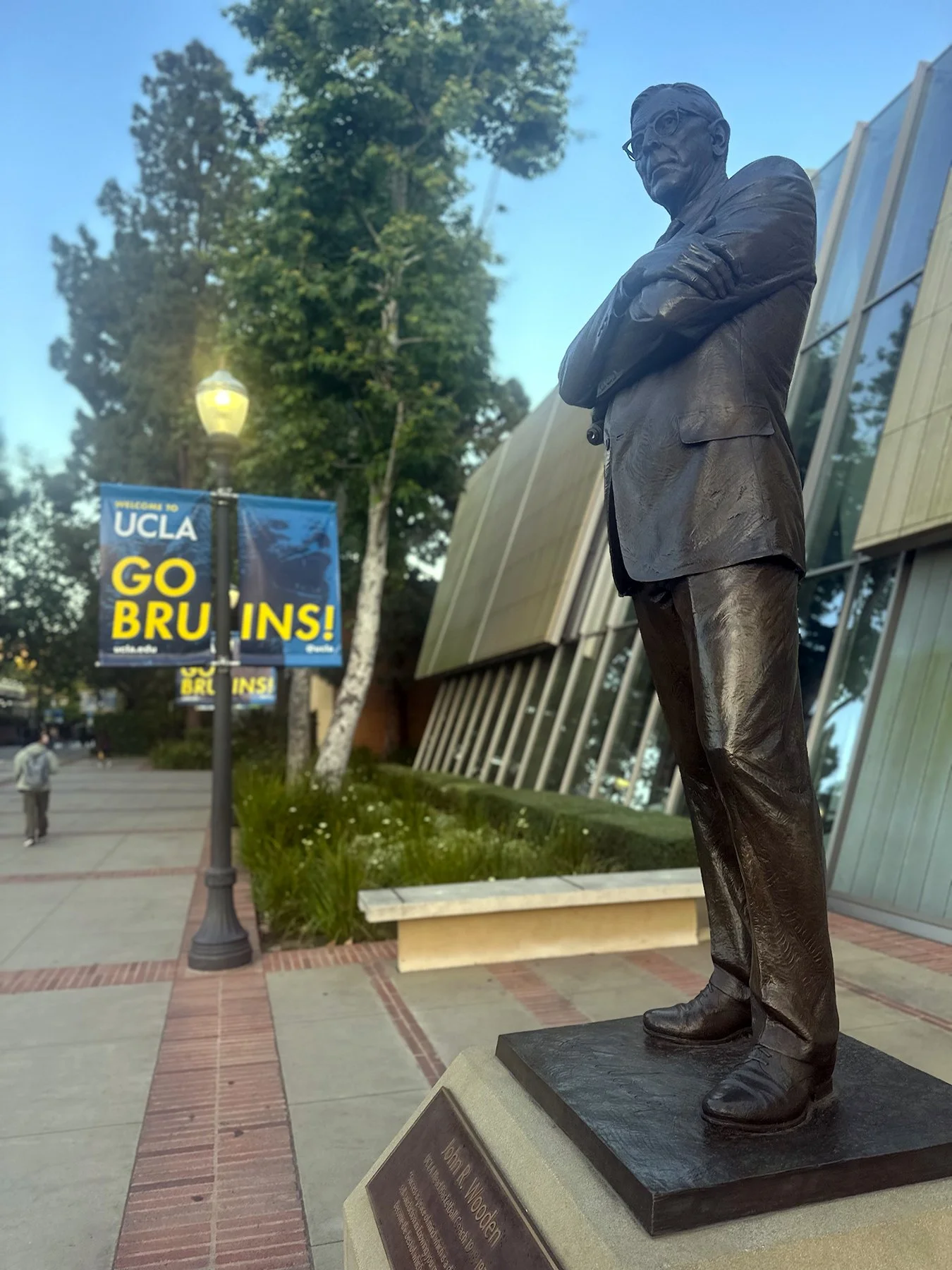
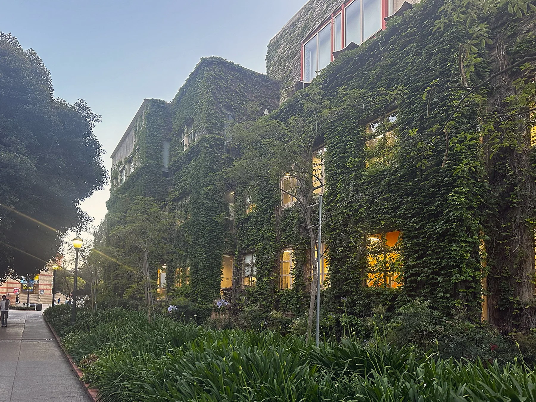
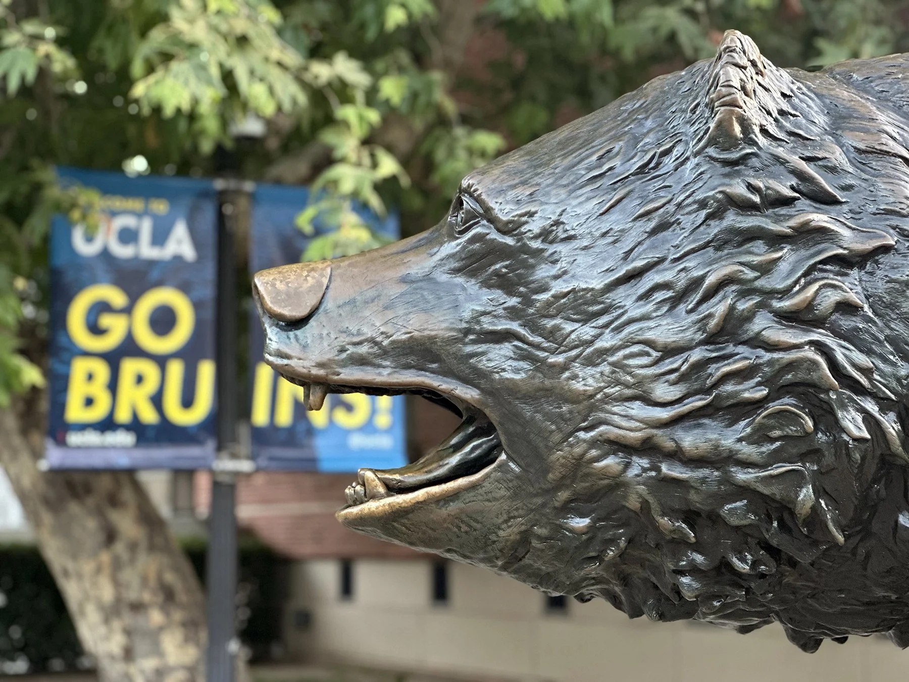
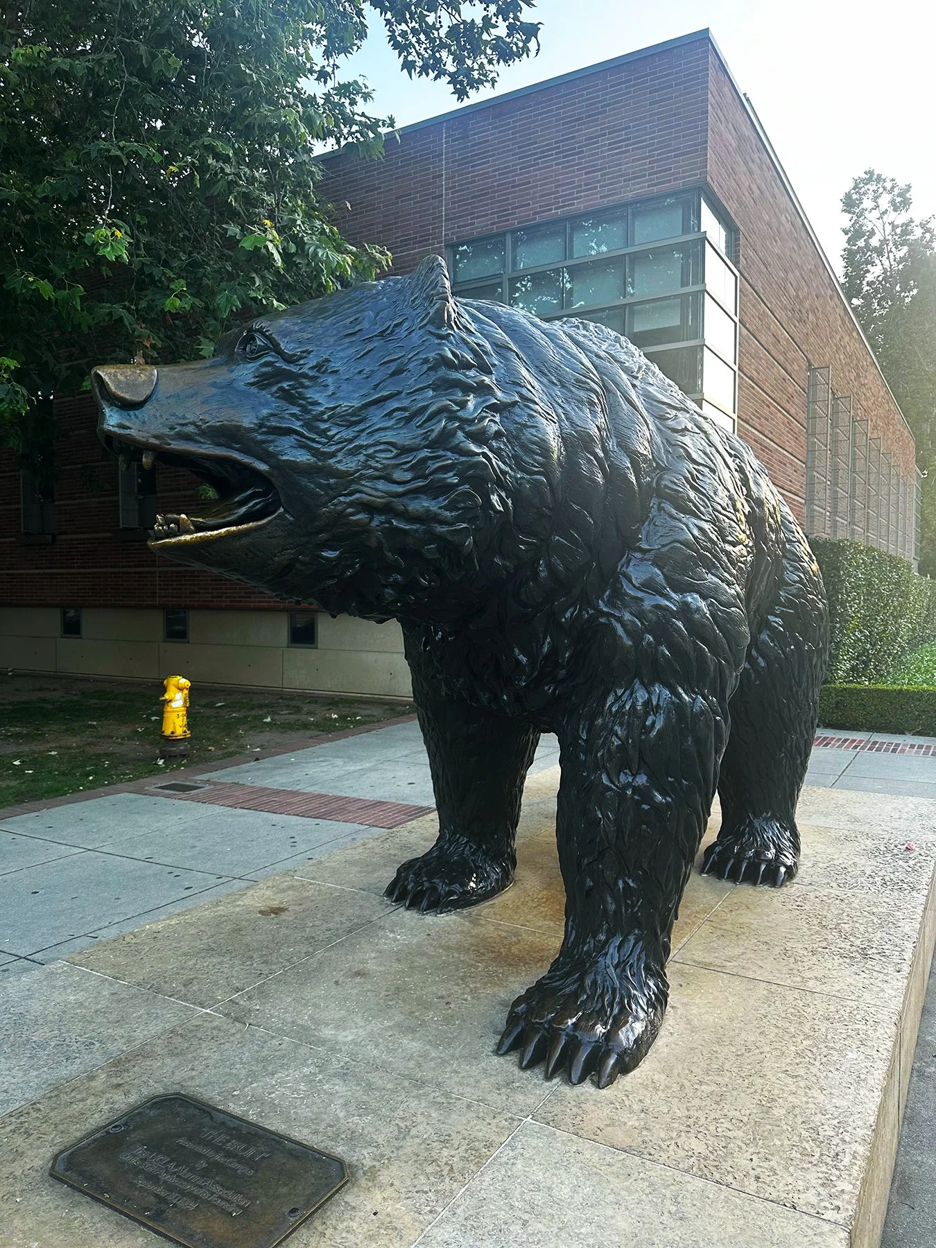
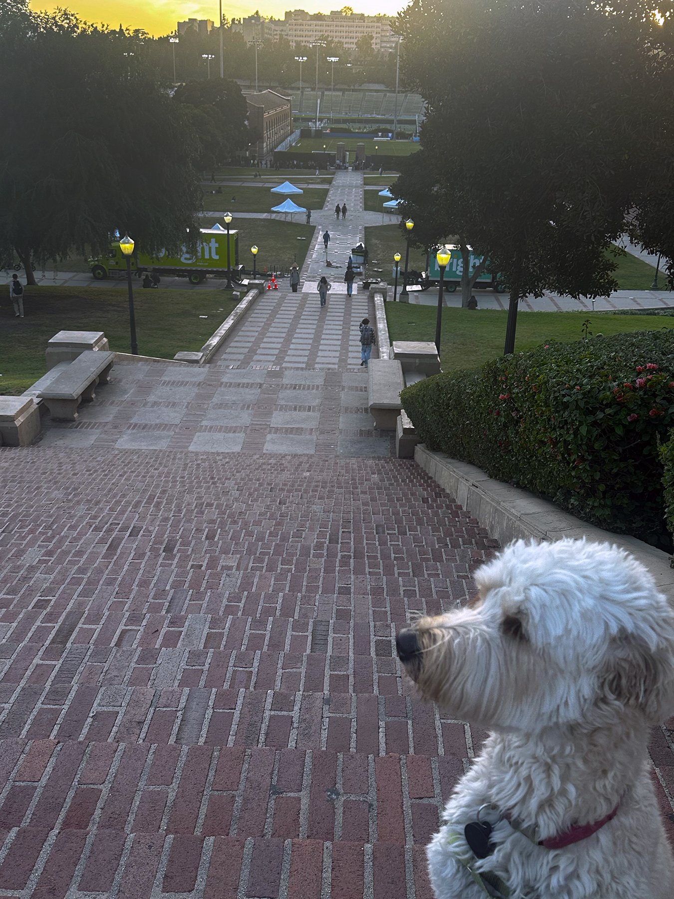
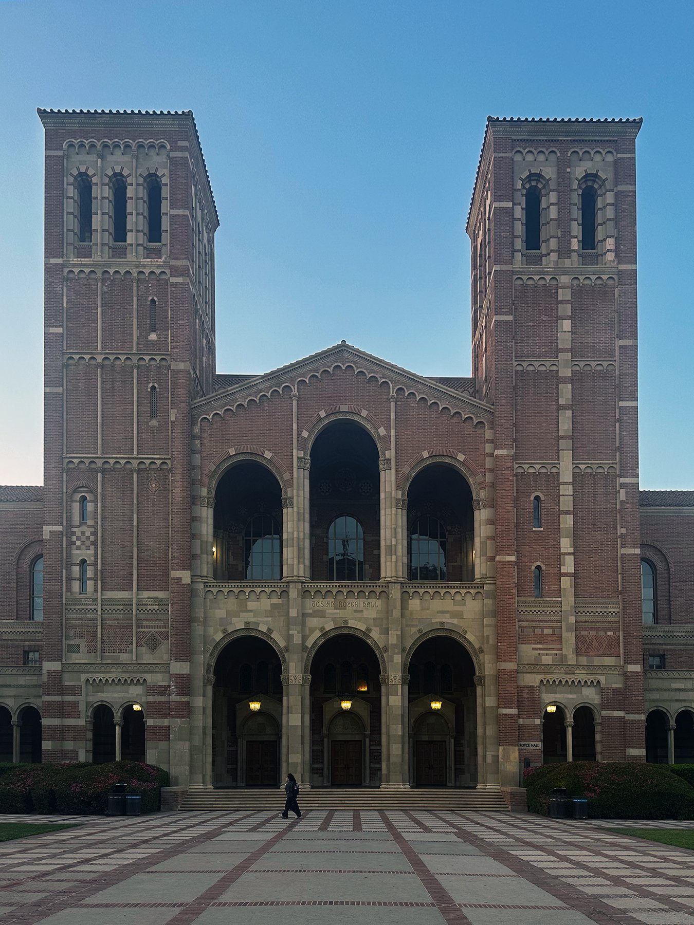
Fun Stop #9: Rodeo Drive
Will the fun ever stop? Nope, not til I’m asleep! It’s dark now, but it’s never too late to cruise Rodeo Drive, right? It almost was better that it wasn’t still daytime; the streets were mostly empty, but it was so elegantly lit and was still a sight to behold. The tall, orderly palm trees lining the boulevard were all wrapped with white lights (think off-white Christmas lights). Prada, Gucci, Valentino, Armani, Dior and Cartier looked beautiful at night. I do wish there were a few more hours in the day, so that we could have explored Two Rodeo Drive, with cobblestone walkways leading to Versace, Lanvin, Jimmy Choo and Tiffany & Co. A little out of my league, but fun to observe nonetheless!
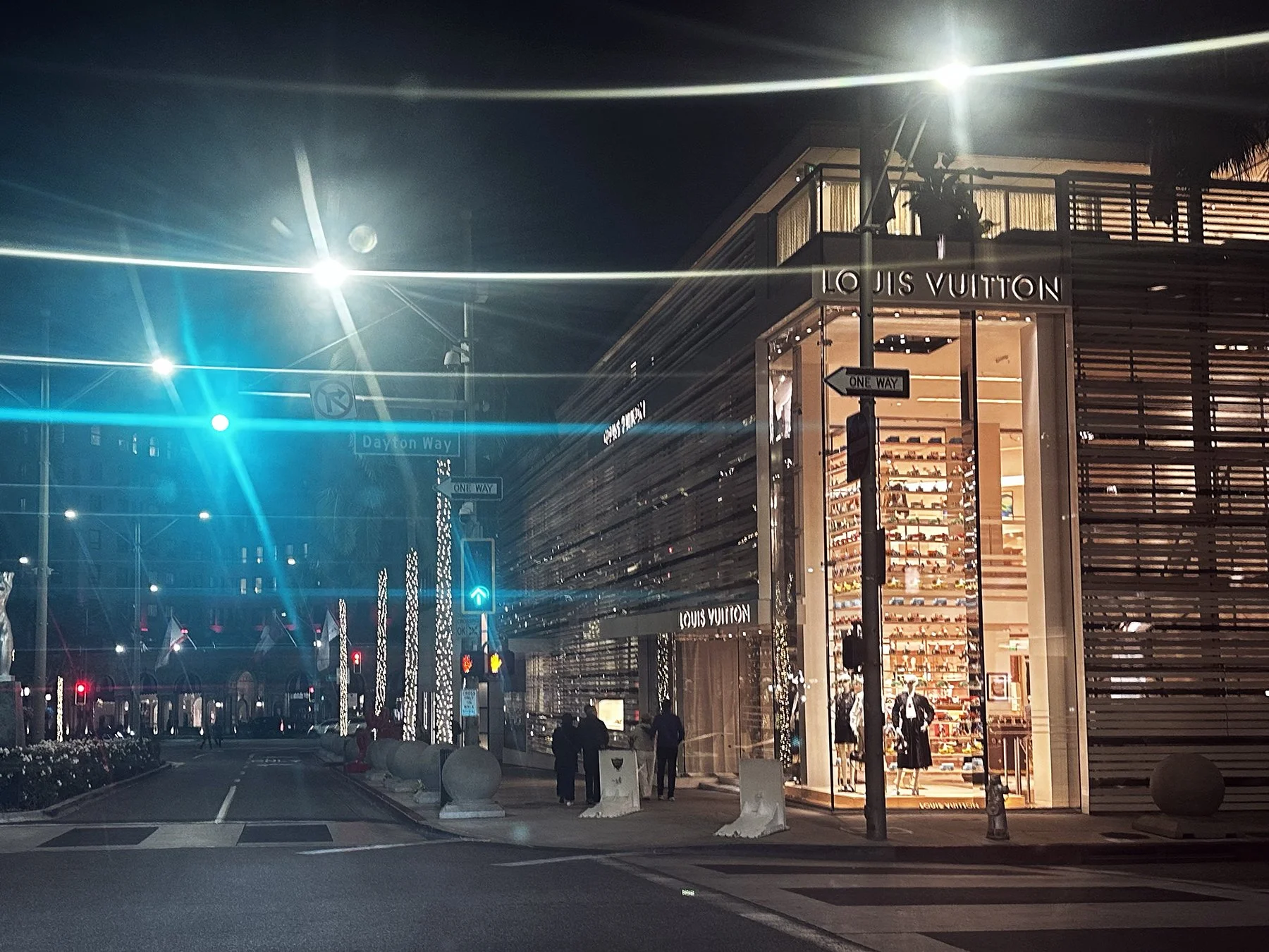
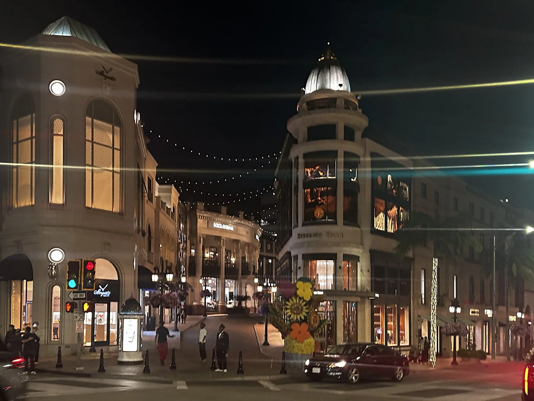
Another long day, another 20,000 steps. Tomorrow is a day of some hard-earned rest and relaxation!
DAYS THREE & FOUR.
Fun Stop #10: Channel Islands National Park Visitor Center
We are tired. Good tired. But tired. Both of us—Maisie was just fine chillin’ all day at the campsite, as was I! Getting caught up on photos, blogging, a little work here and there, and we started feeling good. There were just two things we needed to leave the campground to do that day. The first was visiting Channel Islands National Park. Well, truth be told, the actual park is—as the name implies—a chain of islands. About a 90-minute boat ride out of Ventura, they are known for being ecologically rich islands off the Southern California coast. Anacapa Island has trails to a 1932 lighthouse and clifftop Inspiration Point. Santa Cruz Island’s many sea caves include the vast Painted Cave. Santa Rosa Island features rare Torrey pines. Thousands of seals gather at San Miguel Island’s Point Bennett. Southernmost Santa Barbara Island draws nesting seabirds. I was happy that the visitor center was on the mainland, because I was able to explore the islands through their excellent exhibits. Because taking a whole day to venture out to them, after having to find doggy day care for Maisie, just wasn’t going to be in the cards this time.
Next to the visitor center in Ventura—just a few miles from my campsite—was Ventura West Marina, filled with sailboats. So lovely. There was also a beautiful beach with volleyball nets set up, and an outrigger canoe area. Good stuff! The only other activity scheduled was a trip to Wal-Mart. When someone travels with a dog, and that someone doesn’t like leaving said dog behind, they have to find creative ways to shop. For me, and for now, that means Wal-Mart for most things, and farmer’s markets for produce!
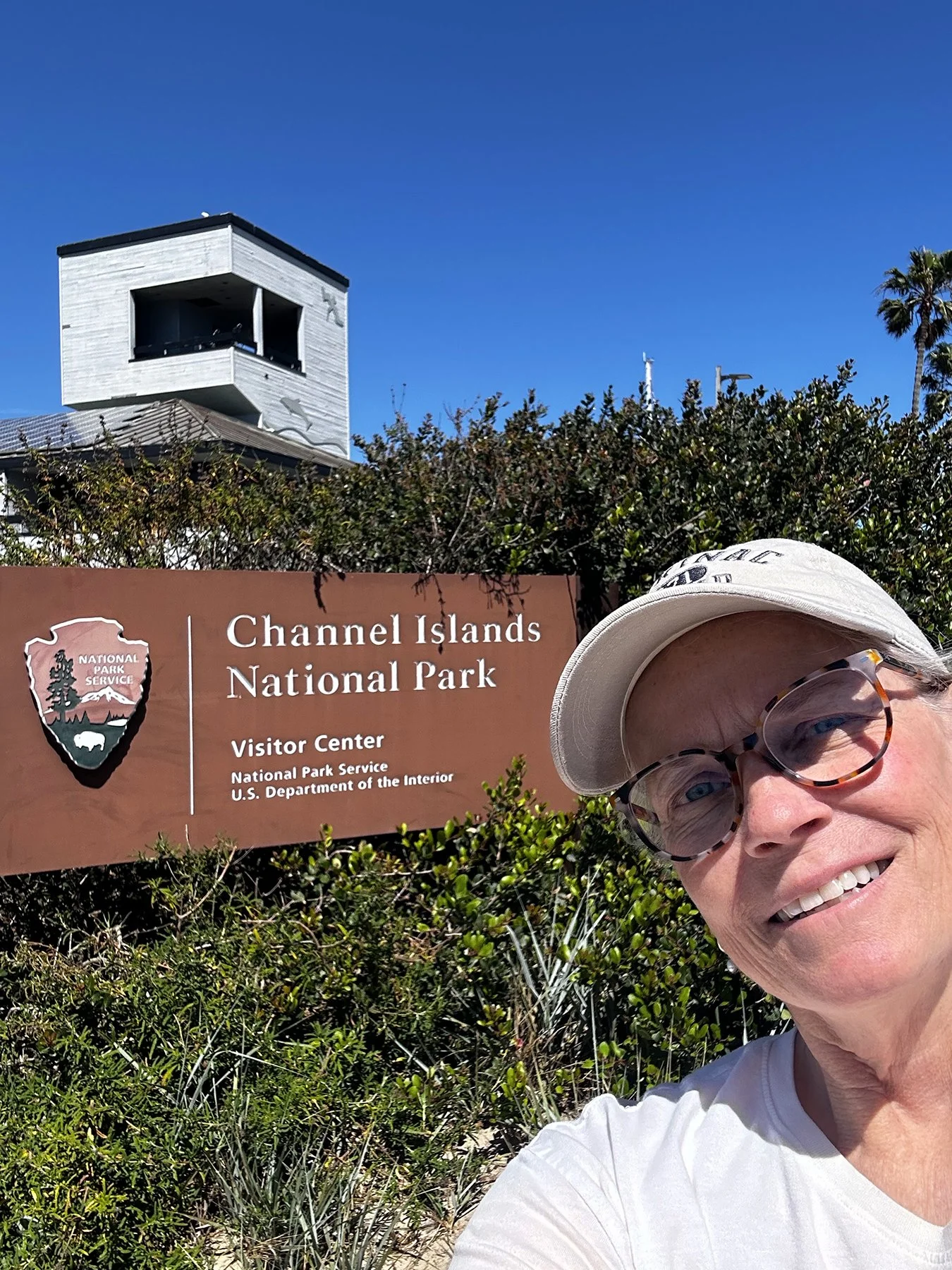
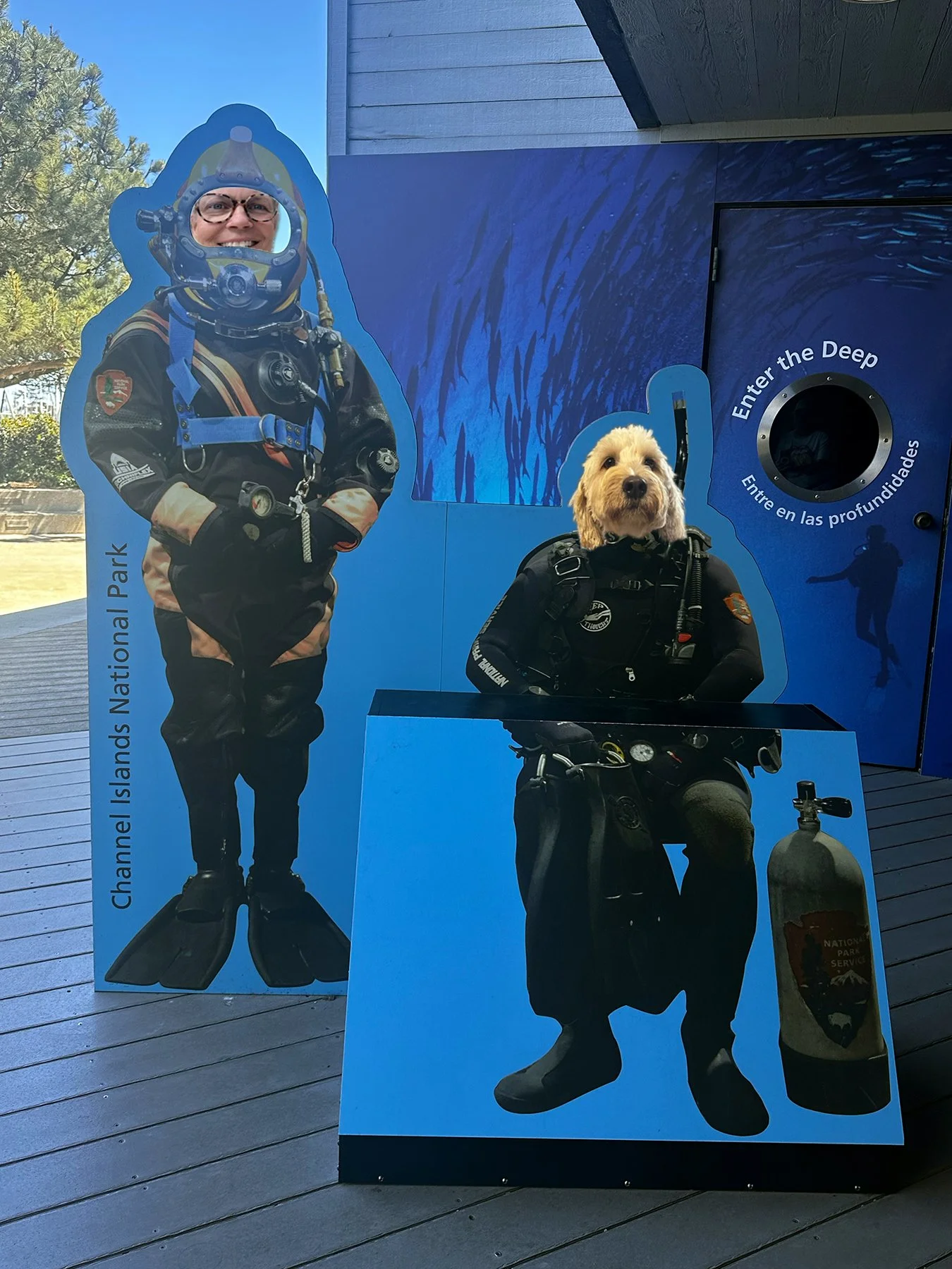
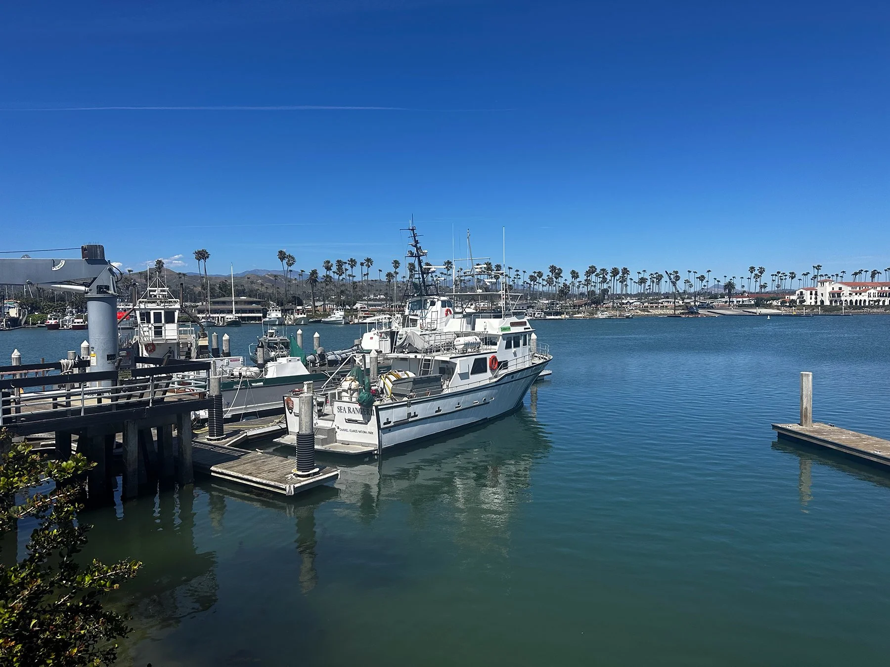
Fun Stop #11: Ojai
It seems we may have saved the best day for last. I had no idea that the two long epic days scooting around LA would not be considered the best day; they were epic, you know? But have you ever been to Ojai? Y’ALL—during last year’s first RV road trip, I absolutely fell in love with Park City, Utah, declaring it my favorite. But now? I think it’s a tie. Ojai was just incredible, in its own small town/quant village, artsy, picturesque, super-walkable, wonderful way. Set in a valley in the Topa Topa Mountains, the city has a village-like center dotted with art galleries and New Age shops. Bordering the north, Los Padres National Forest is crisscrossed with meandering trails. We parked on one end of Ojai Avenue, then walked the length of the downtown (less than a mile), wandering through shops and gardens. After perusing the Ojai Valley Museum (they were nice enough to let Maisie in with me—a rare feat when it comes to museums!), we decided to walk two miles to Soule Park, nestled amongst the majestic Topa Topa mountain range, it is a 223-acre park offering open grasslands and mature shade trees throughout. We walked through orchards of tangerines and even passed an Arabian horse farm. So unique! We spent a good hour at the dog park, Maisie completely focused on the numerous California ground squirrels around the area. Fun fact: These little squirrels have speckled fur, shorter/not-fluffy tails, and live in underground colonies. They are highly active during the day, foraging for seeds, nuts, and fruit. Maisie stuck her nose in more than a few of those holes in the ground!
At one point, we looked over toward the entrance, and a young woman literally walked up on a horse. Wait, what? Are we still in Texas? Come to find out, Ojai is also a major horse-lover area :D. After a good laugh and a nice chat with the rider, we headed back through Soule Park Golf Course, which apparently is one of America's most highly-regarded municipal golf courses. Simply gorgeous, with lush green fairways and mountains overlooking them. Another two miles conquered, and we simply had to stop for some fish tacos! (When in Rome … ) Gaining a second wind, we decided to take on a three+-mile hike along Shelf Road Trail. Words cannot do it any justice, so I’ll have to describe it with photos.
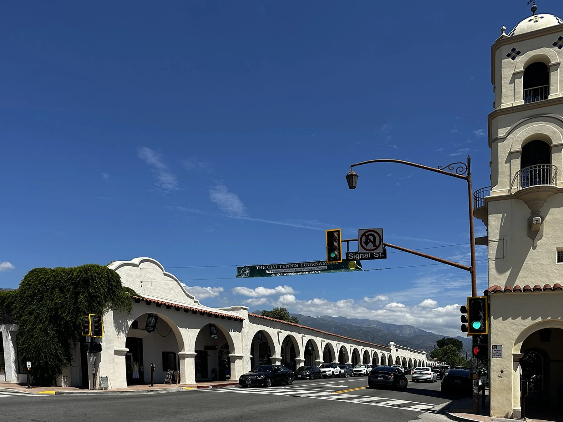
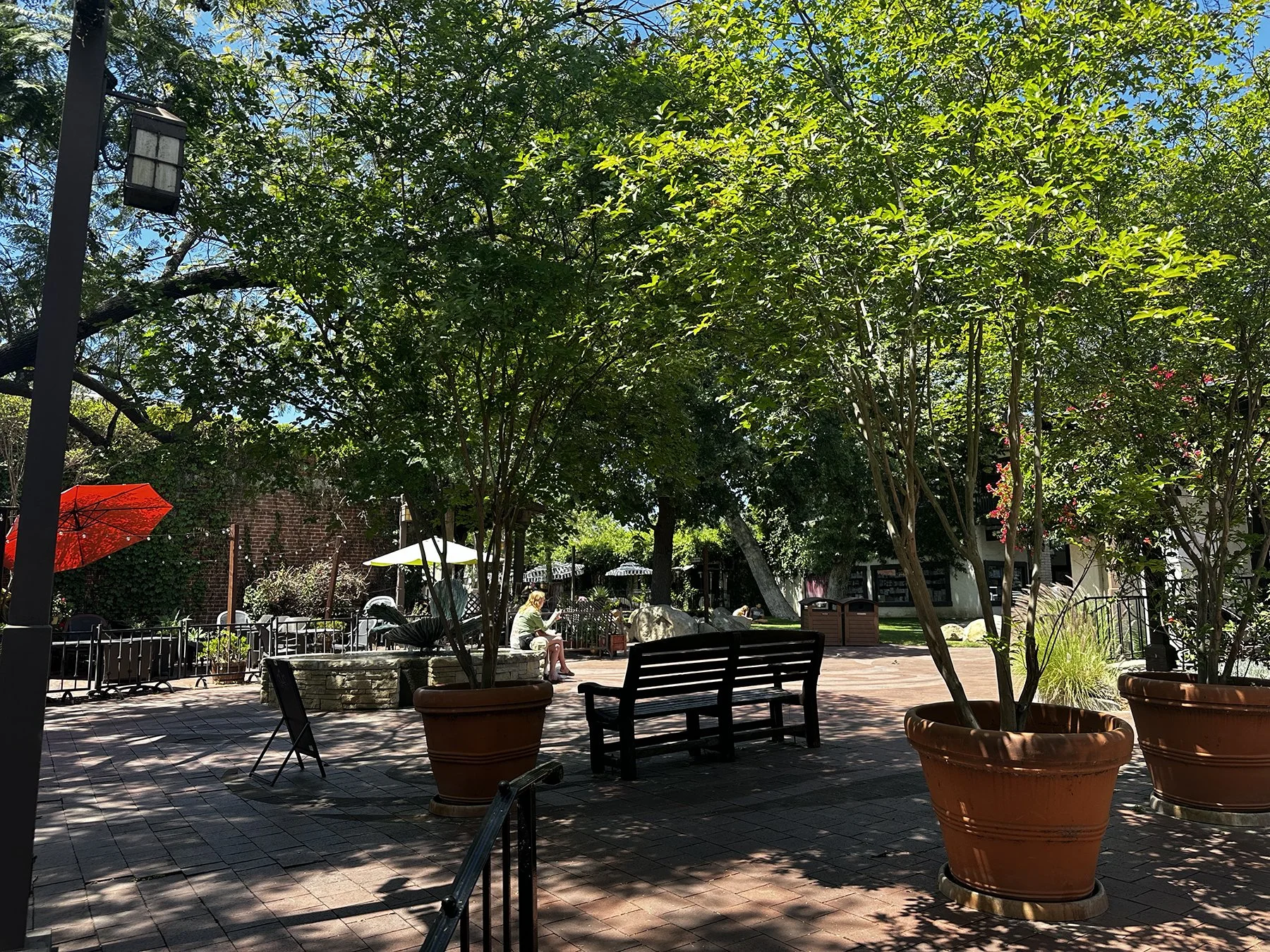
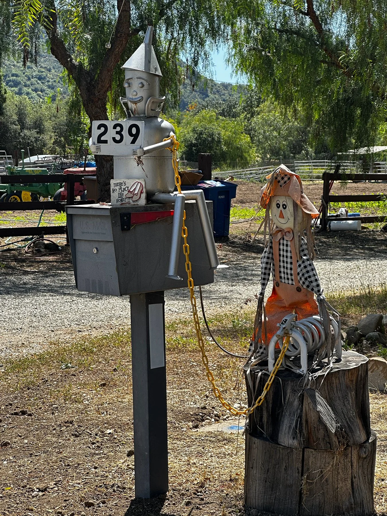
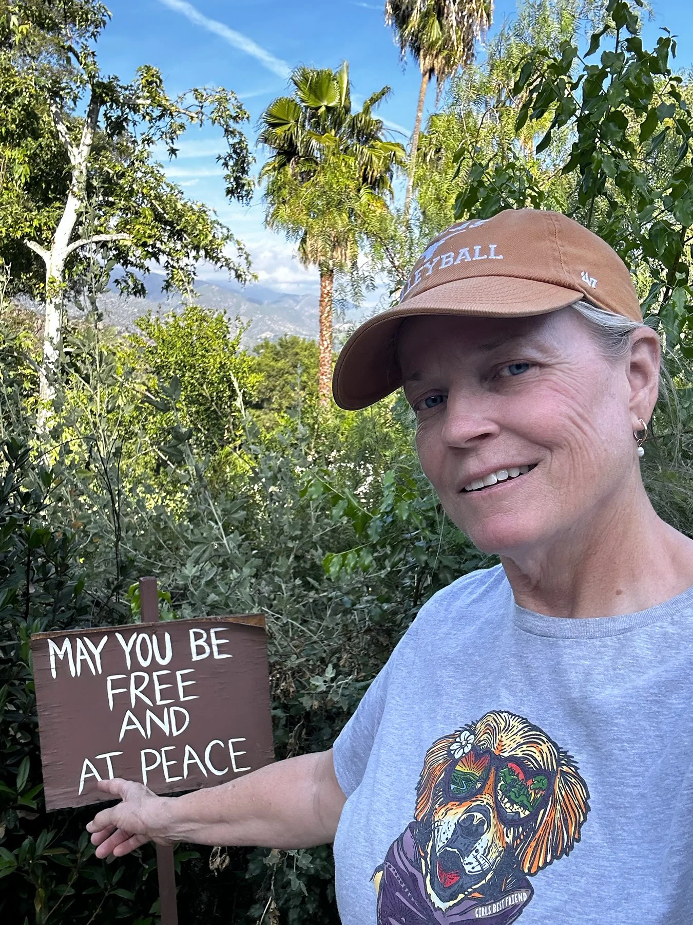
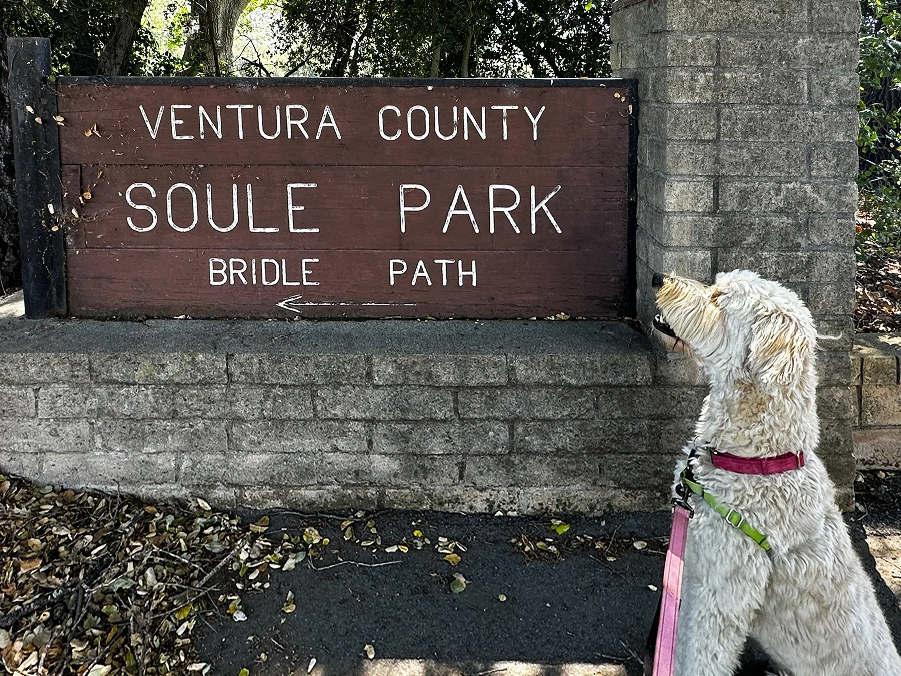
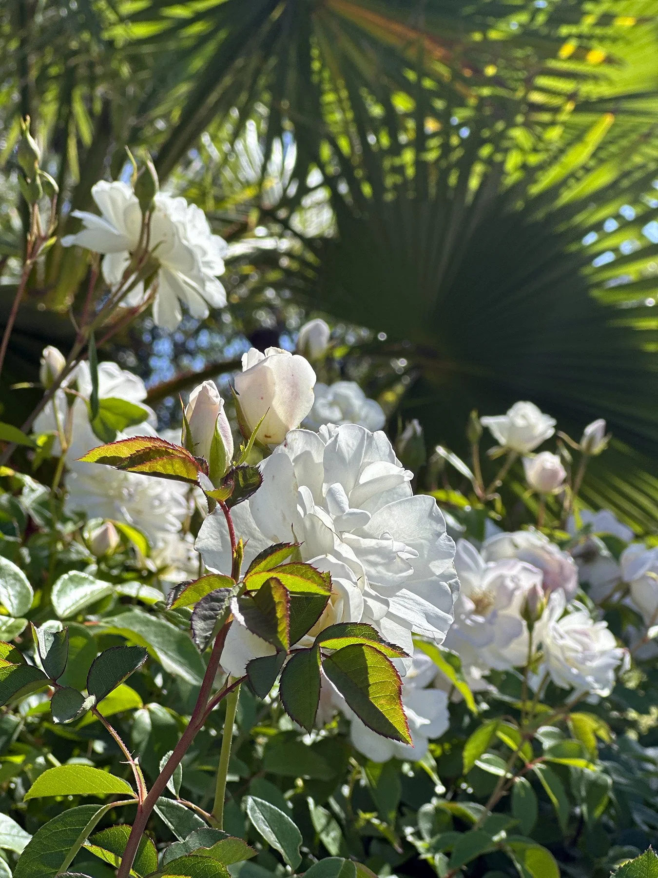
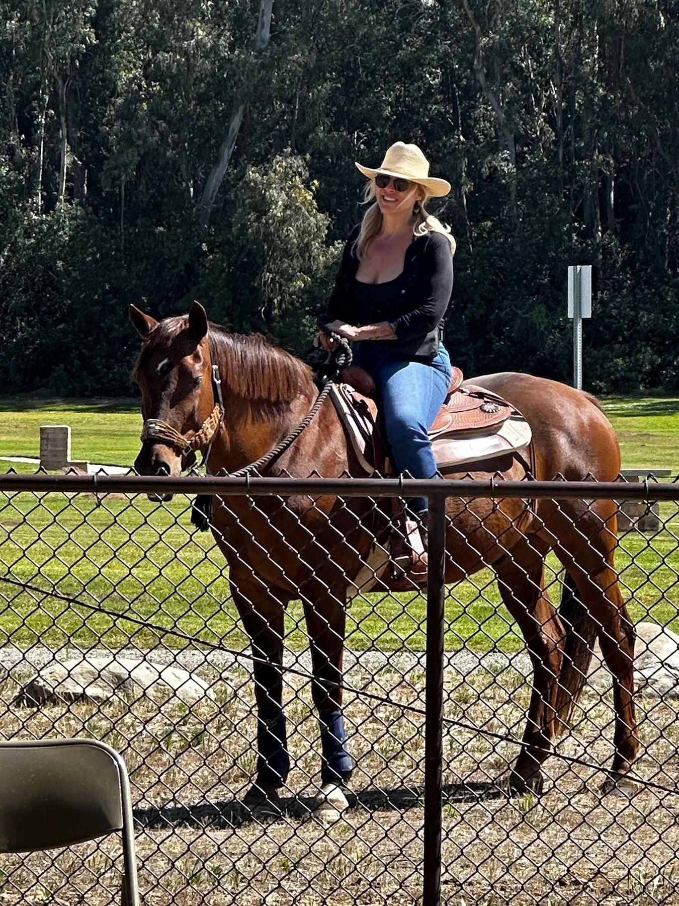
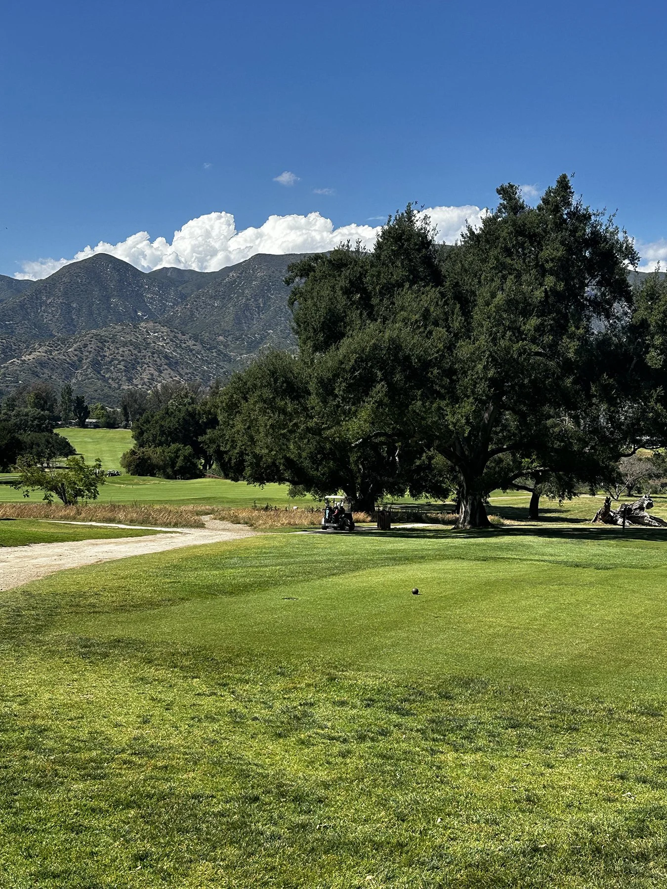
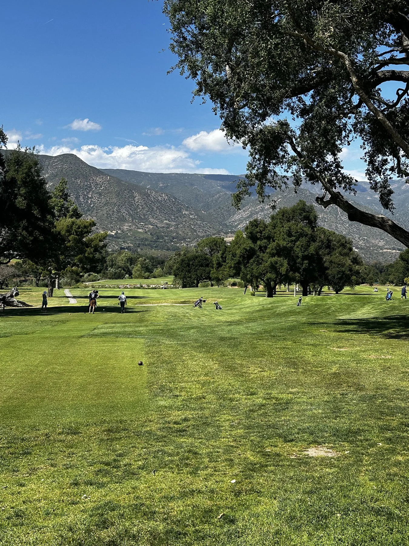
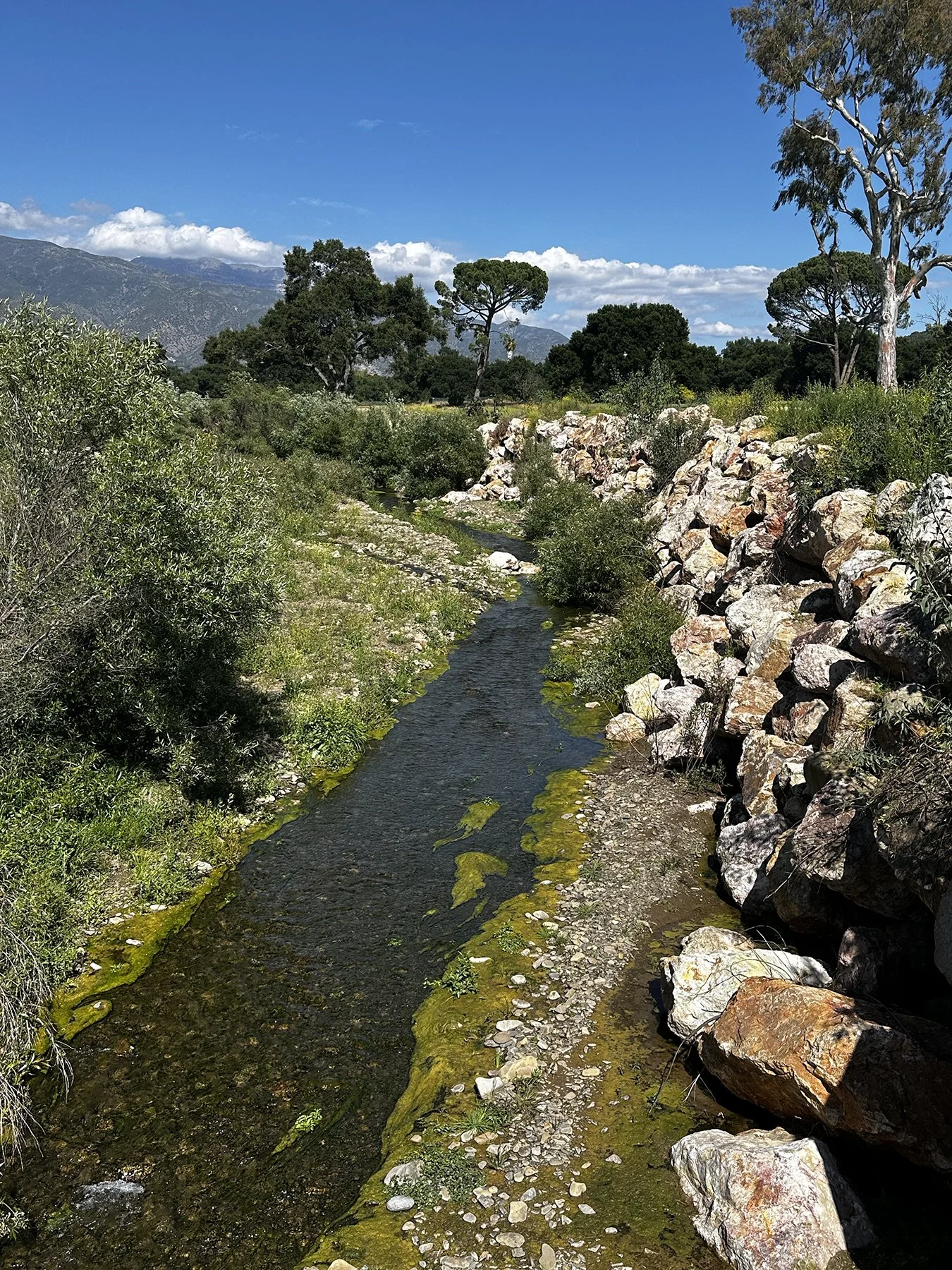
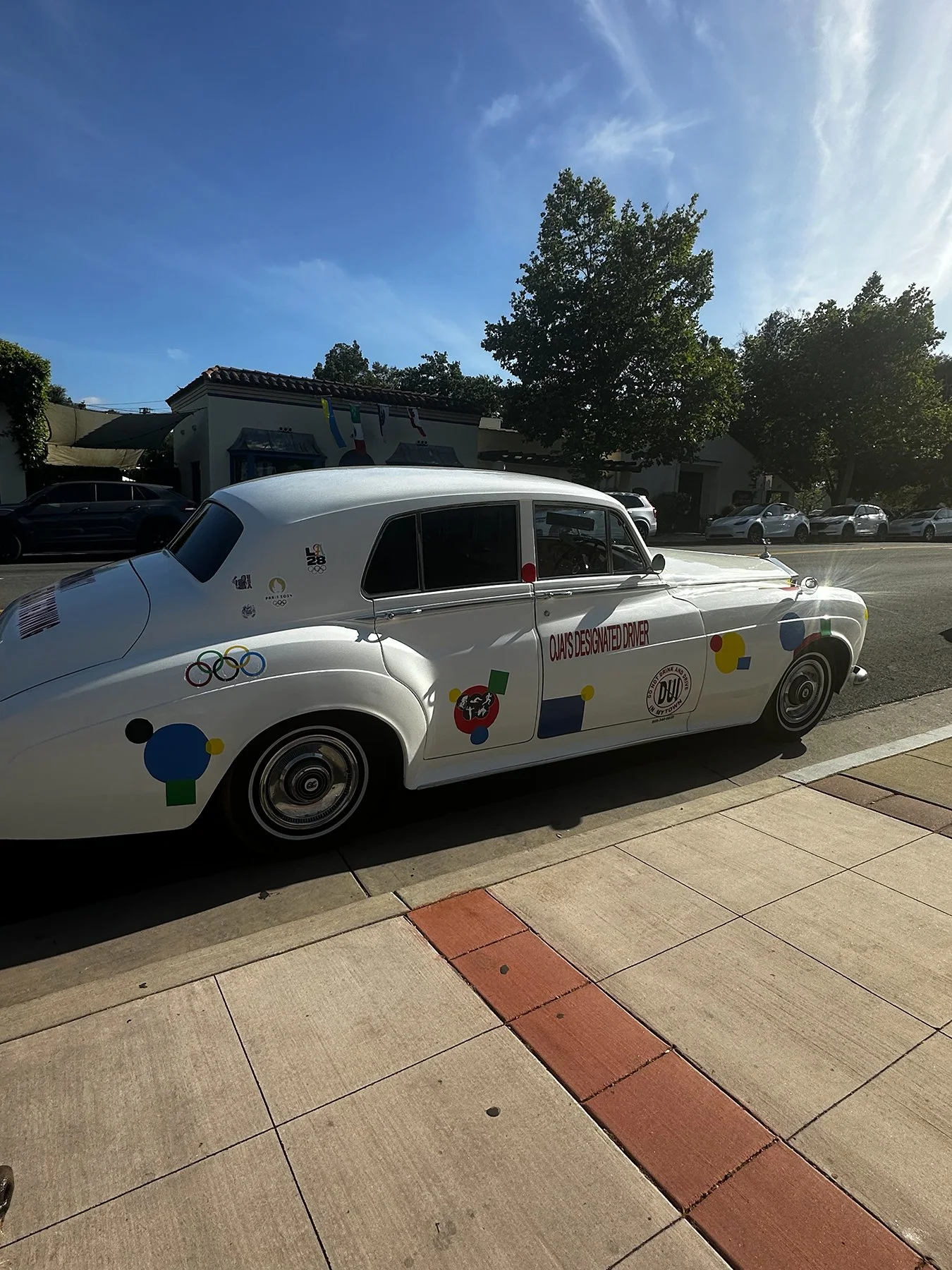
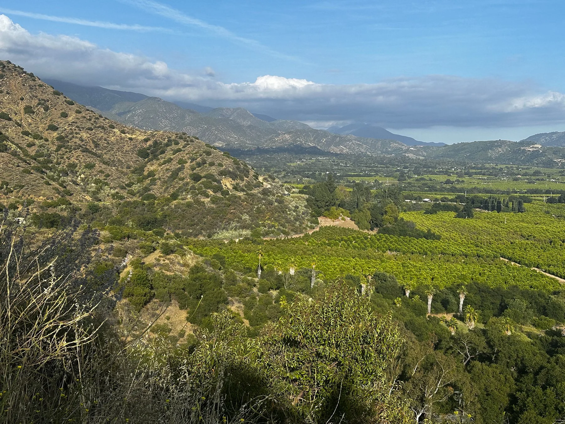
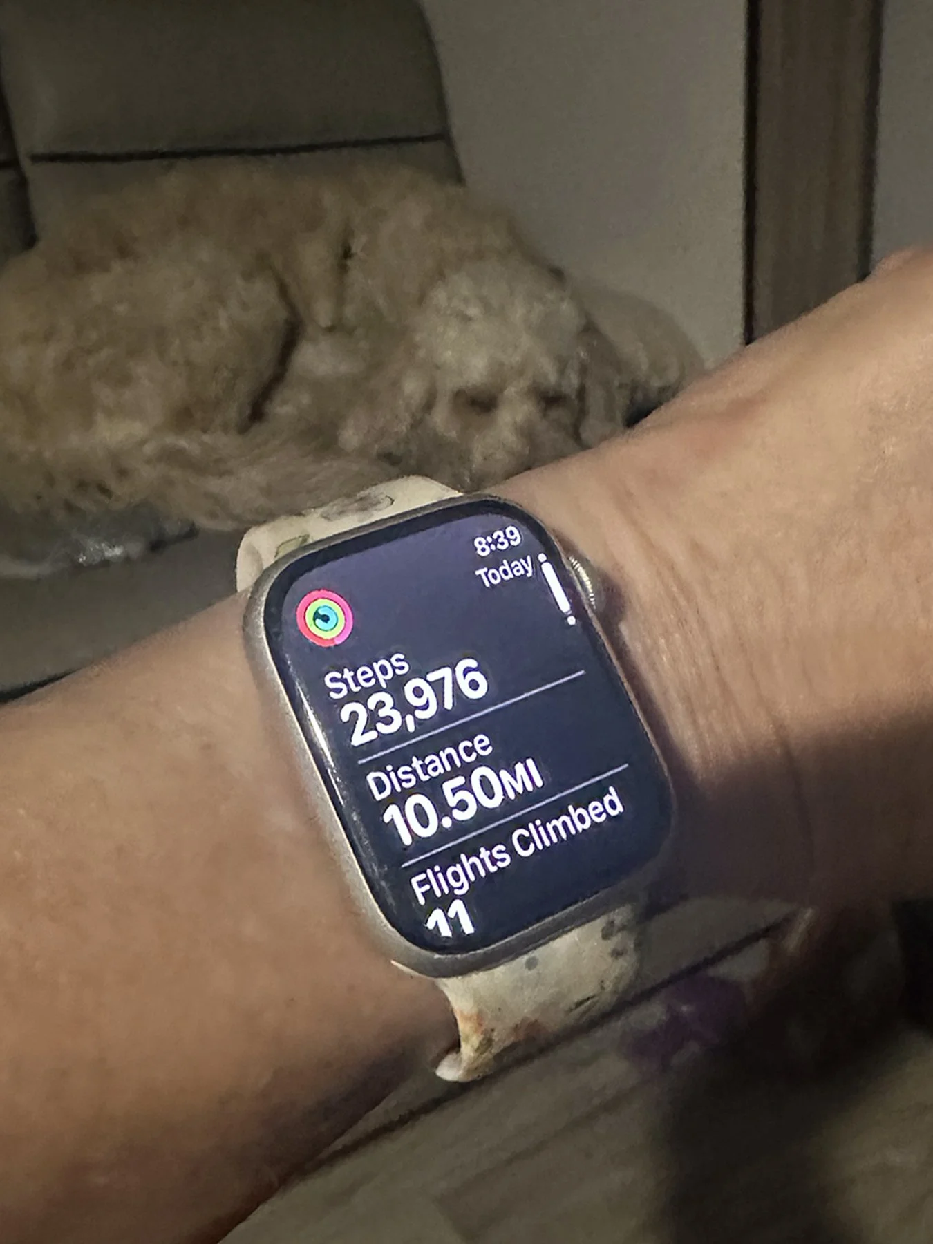
And now it’s time to say goodbye to Southern California, and say hello to some National Parks! Stay tuned …
Sunny San Diego
I really was thrilled to be able to experience a desert environment the first week of this trip—something pretty foreign to me TBH. But y’all. Driving down “The 15” (IH-15 in California) toward San Diego, the hills became much more green, the trees more abundant and varied—it was a true oasis. I was highly anticipating visiting my college teammate/roommate/BFF/and later one of my bridesmaids, Kris “Ledbutt” (short for Ledbetter)! Fortunate to have been able to reconnect in person for a “Champions Weekend” volleyball team reunion at the Univ. of Tennessee just a little over a year ago, this coming week was sure to be full of quality time together. Her husband and son are a delight, too! While it was weird to be back in a “sticks & bricks” house again—I think Maisie has whiplash—I do think it helped with my transition to a more mobile lifestyle by letting me breathe just a bit after a week of driving halfway across the country.
Kris and Eric have a truly lovely home in the Torrey Pines area of San Diego. Talk about gorgeous! I reminded them often to count their blessings for living in near-Paradise. Highs in the low 70s, lows in the 50s, sunny skies, beautiful sunsets, palm trees for miles, and unbelievable lush landscapes. Ahhhhhh. The view from their back yard alone was something I could stare at all day. A 3.5-mile hike around her neighborhood the first morning there—with three pups in tow, up and down numerous big hills and through parkland—was spectacular. Throw in a 90-year-old tortoise (“Mr. Turtle”), that has been a part of Kris’ life since she was four (that’s a long time, y’all), and what could be more fun? We rounded out the day with burritos on the beach for a spectacular sunset.
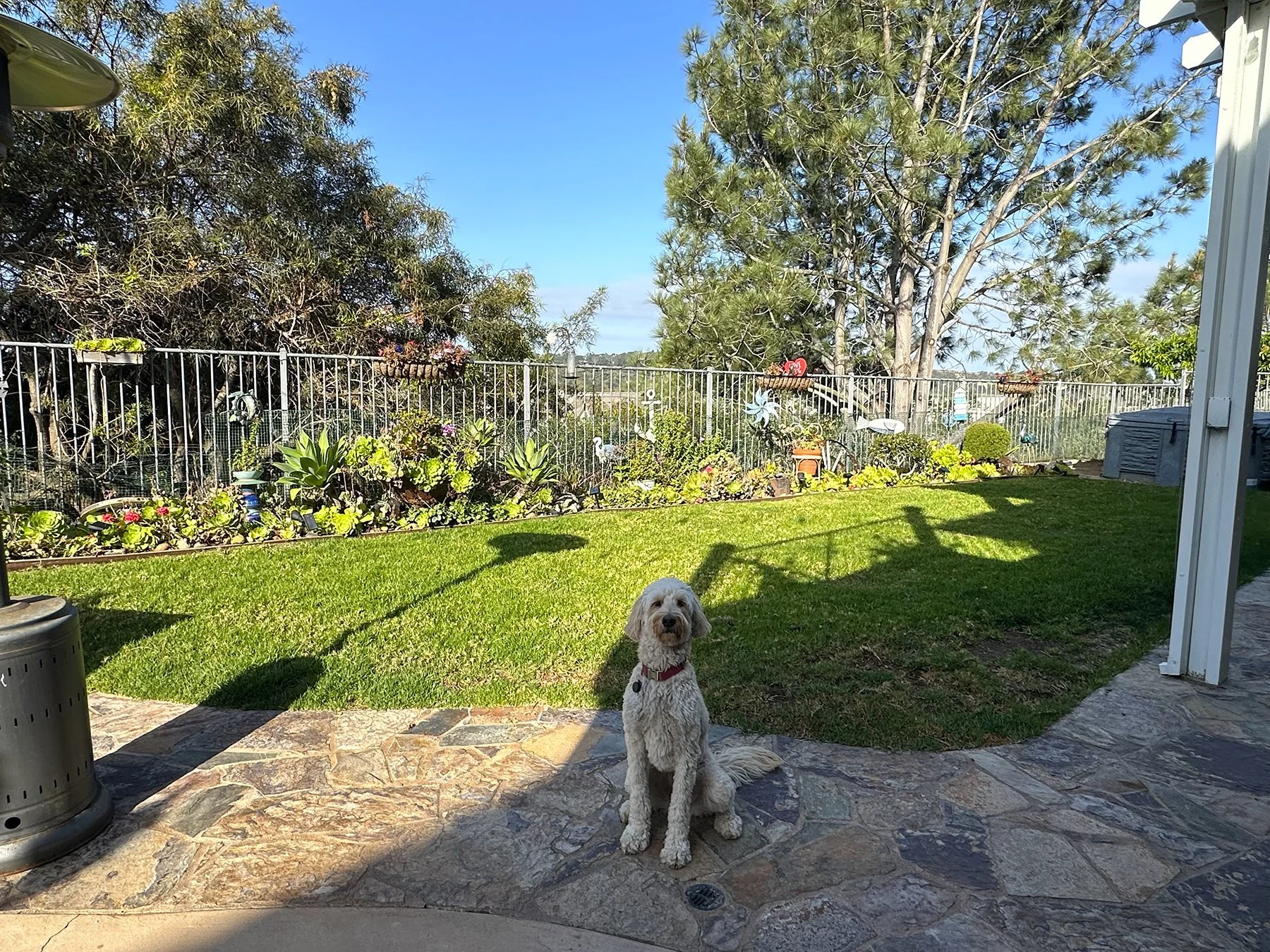
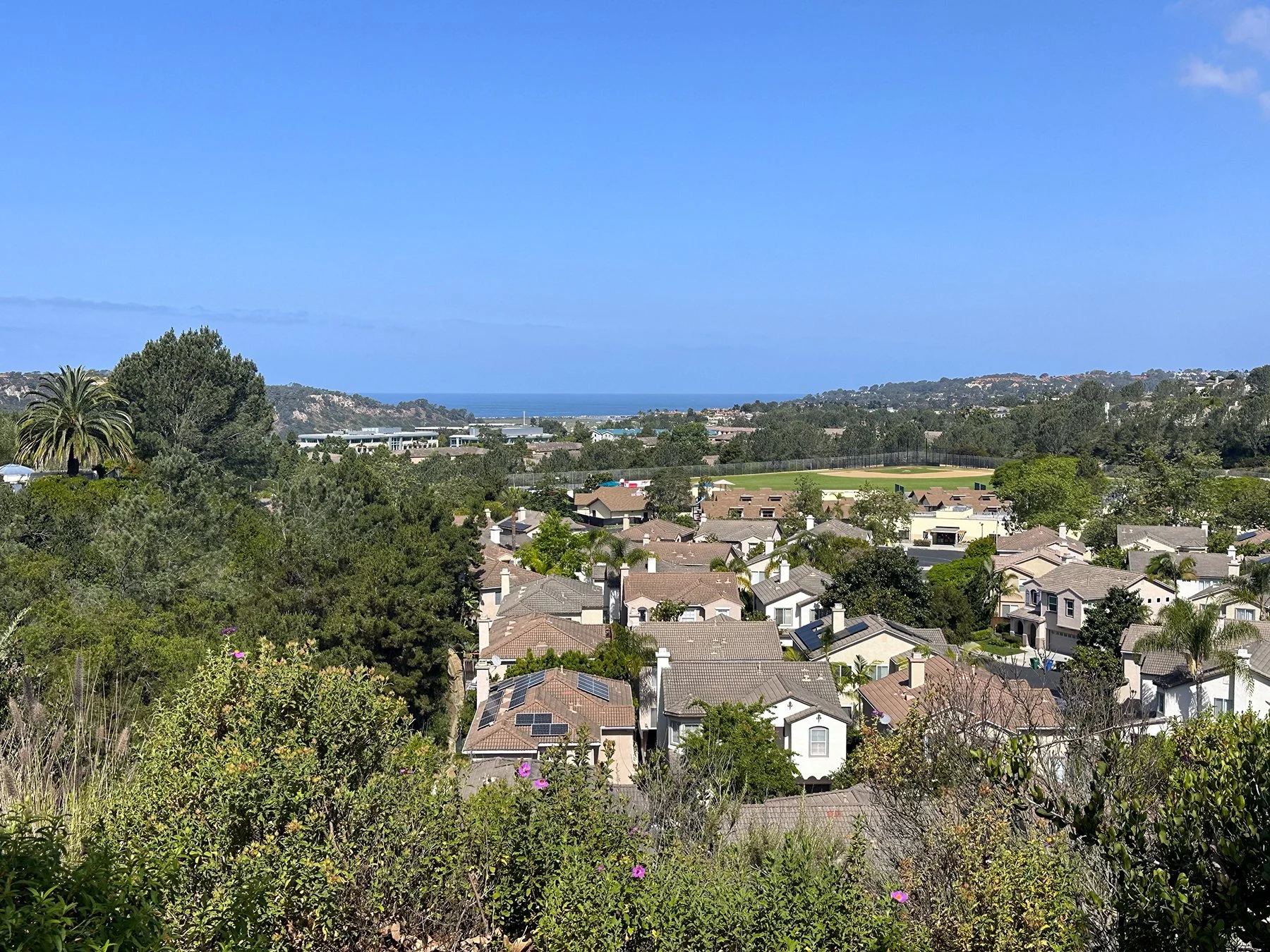
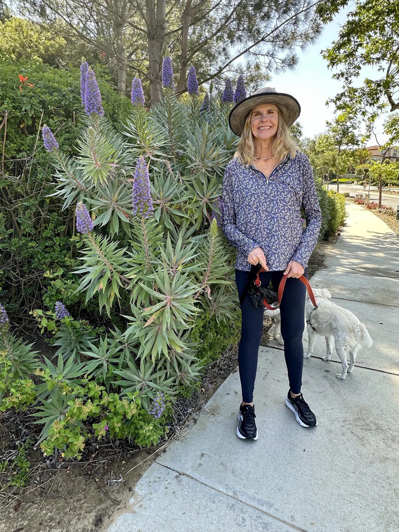
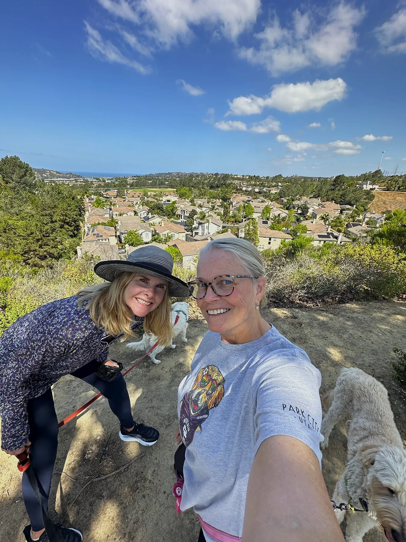
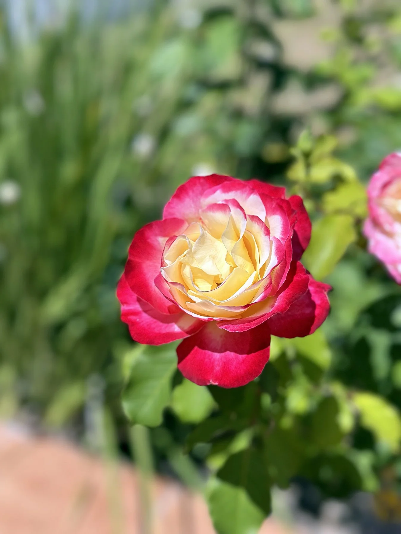
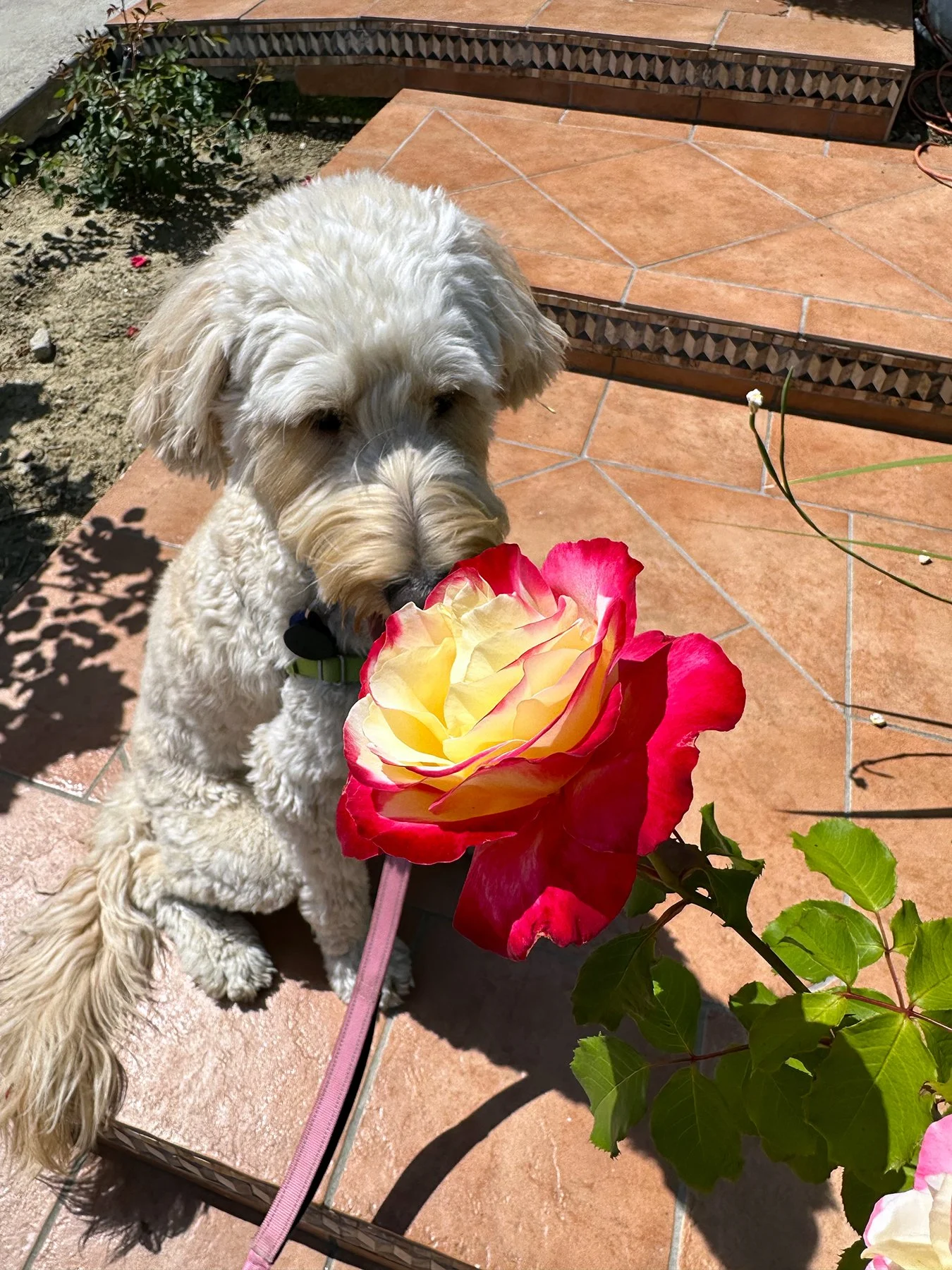
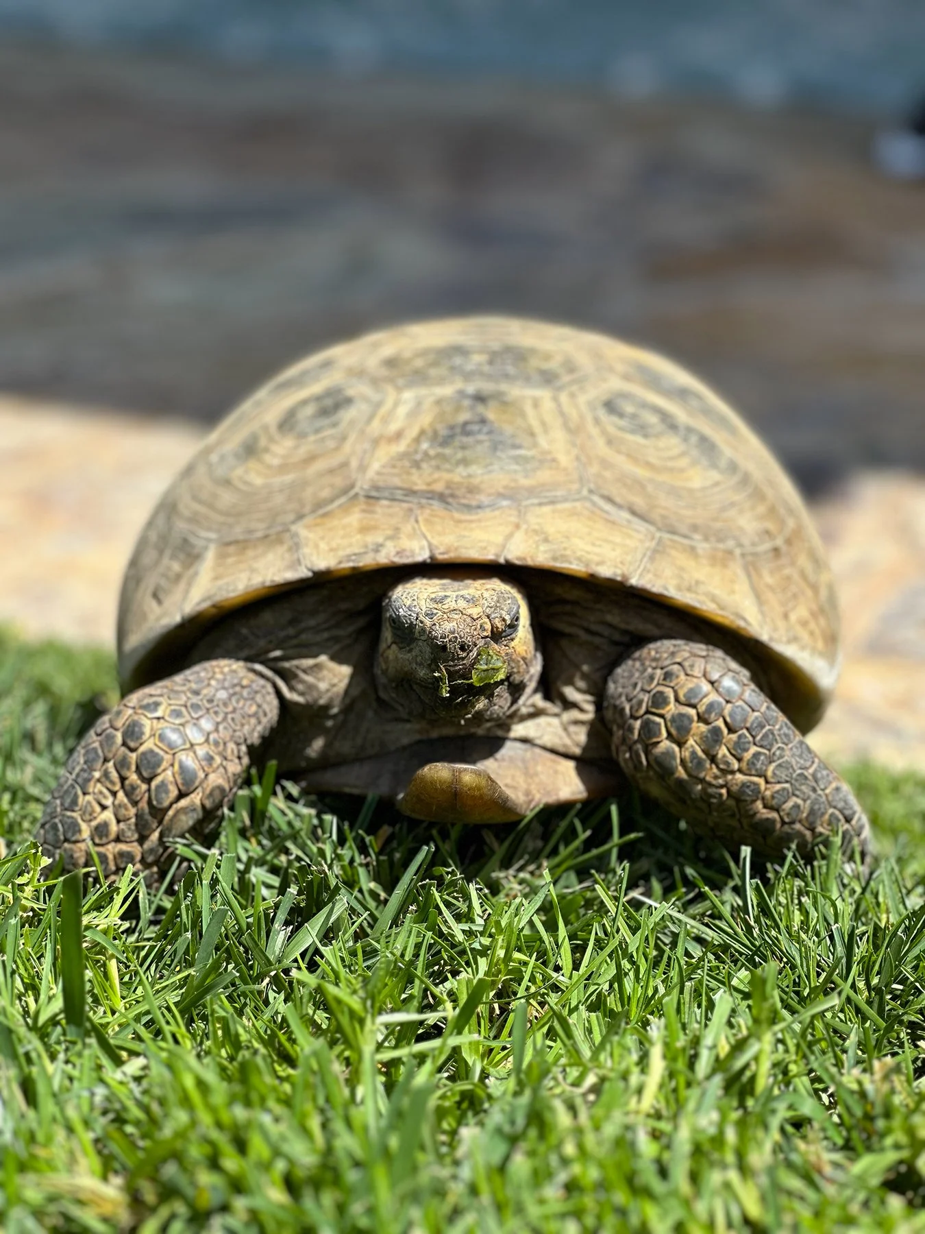
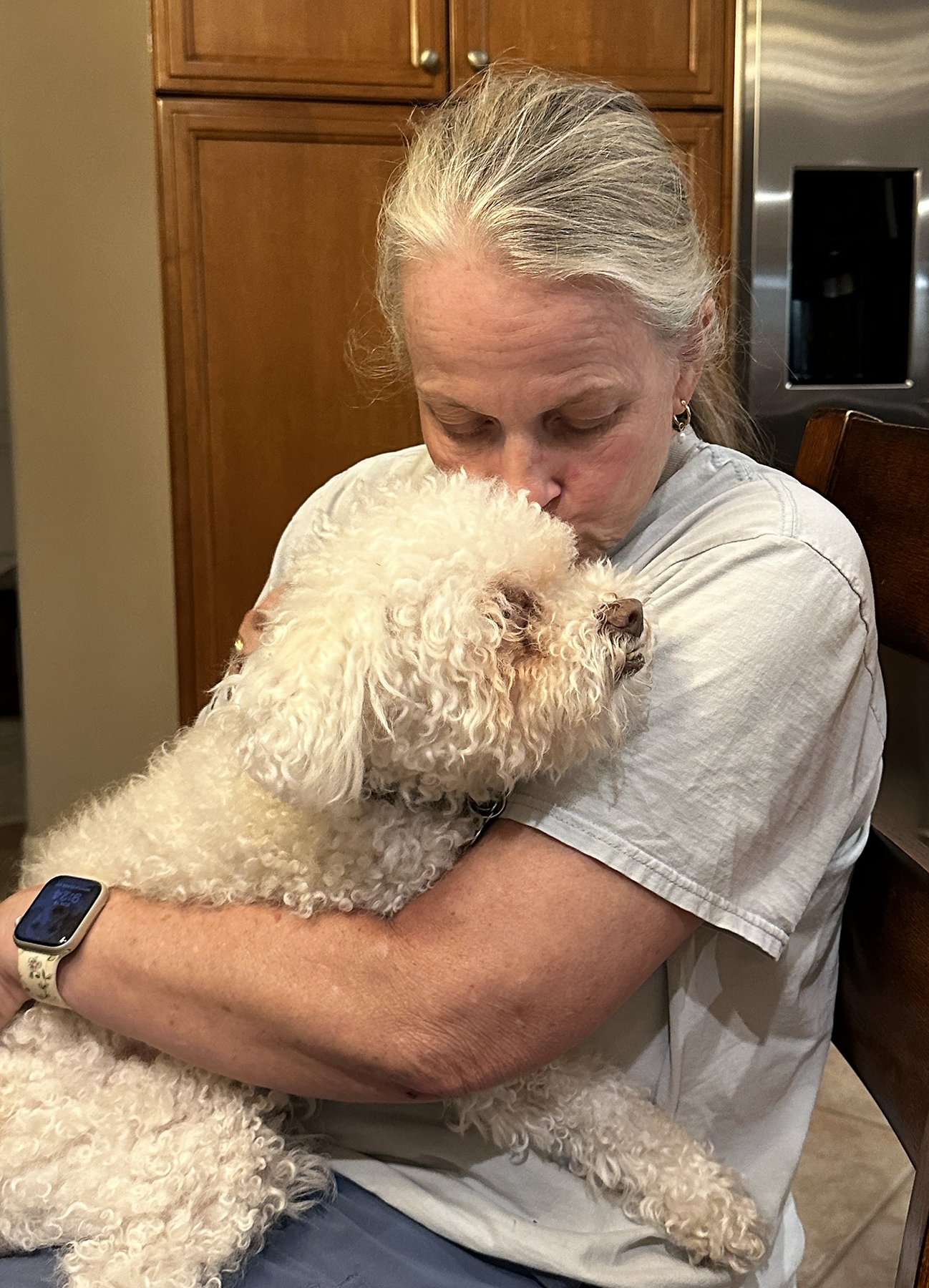
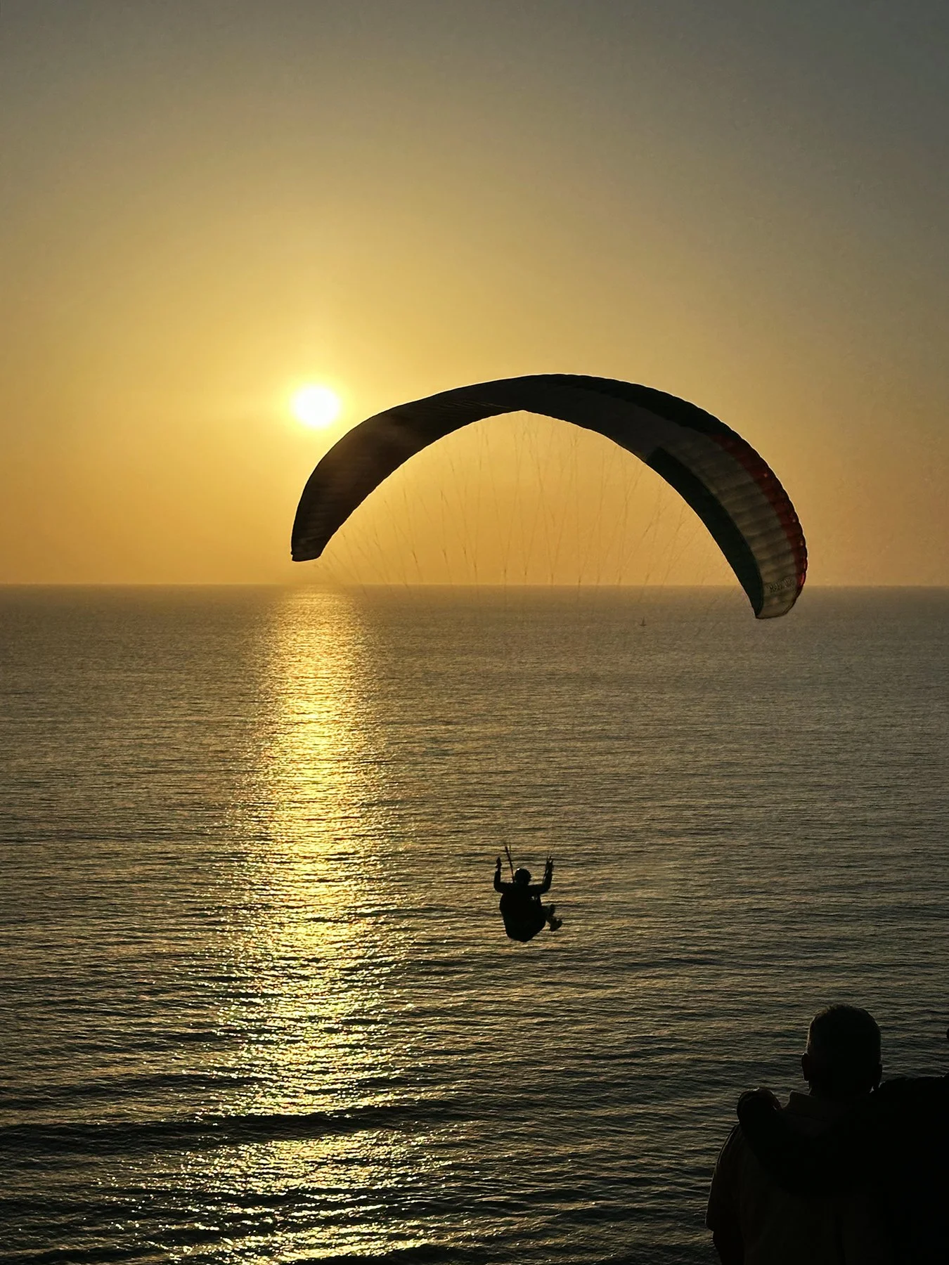
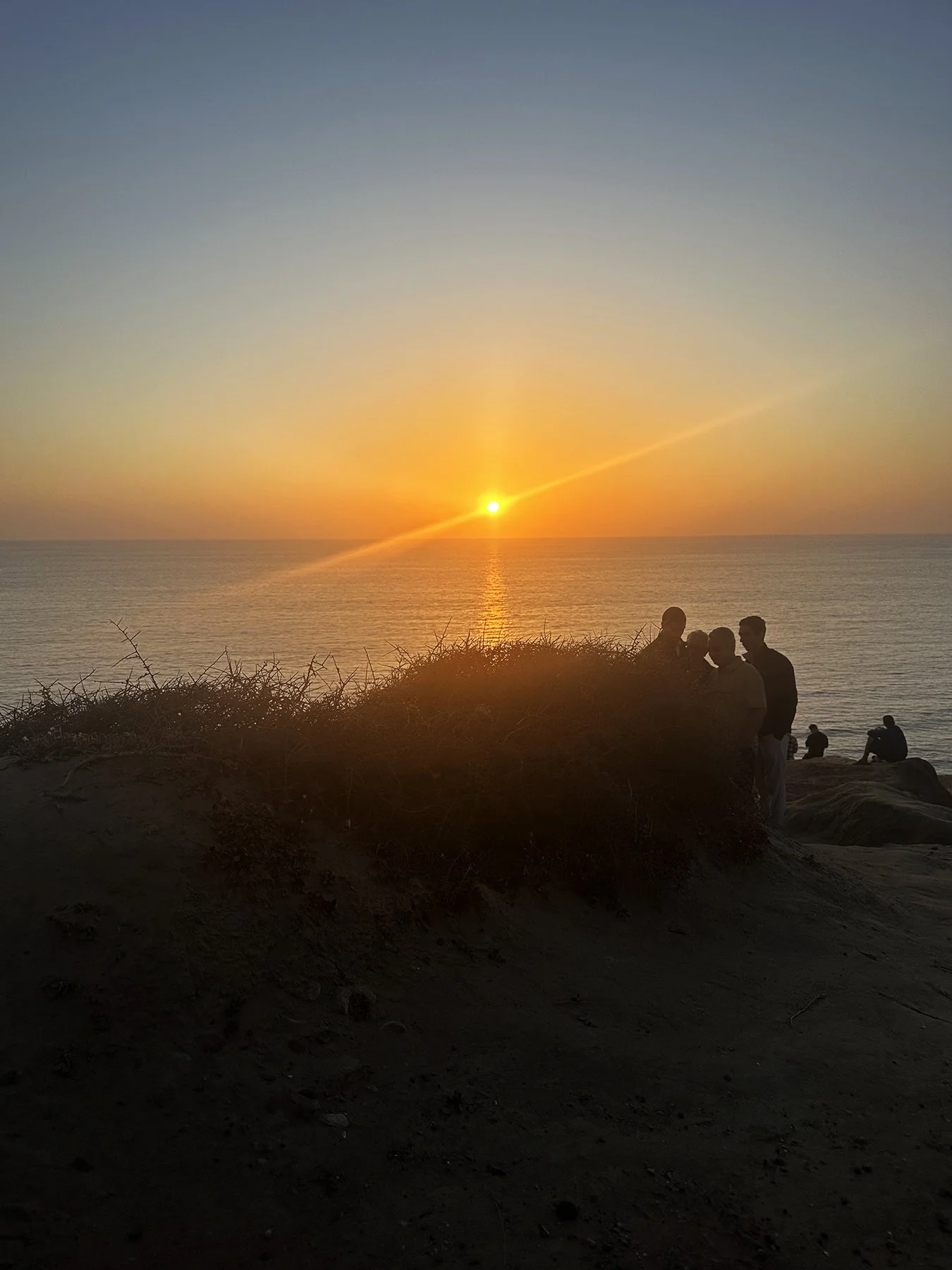
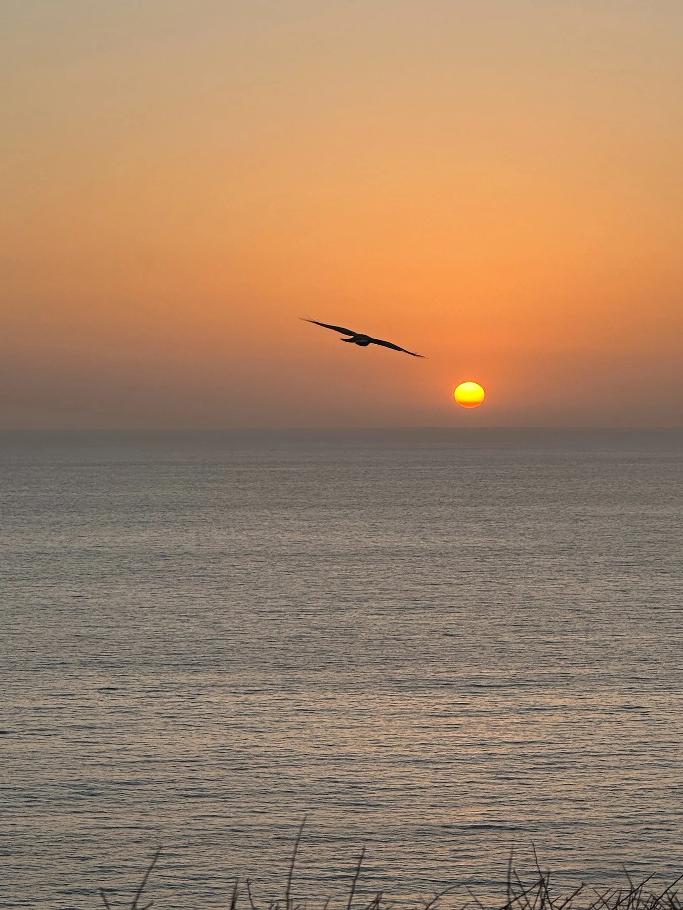
The next few days were spent hiking Torrey Pines State Beach—where, get this, we came across a group of people who had really big camera lenses, sitting around in beach chairs like they were waiting for something to happen. So of course I had to stop and ask what they were doing! And guess what? There was a group of Peregrine falcons nesting in the cliffs! Did you know that Peregrine falcons are renowned as the fastest animals on earth, capable of reaching speeds over 200 mph during their signature hunting dive, or "stoop"? These raptors are famous for their aerial hunting prowess, taking down birds in mid-air, and for their remarkable recovery from near extinction due to DDT pesticides. With just my iPhone, I couldn’t get a decent picture, but one of the guys with the giant lens showed us some closeups he got and they were magnificent!
We also walked around some of the beautiful Torrey Pines Golf Course, home to an annual PGA tournament in Jan/Feb each year. As it turns out, it is a public course run by the city of San Diego, but getting tee times is quite the challenge, as you can imagine. I know Michael would have killed to play on this course! After a several-mile hike we decided to meet Eric and his tennis buddy at a funky little café in Del Mar, called “Board & Brew.” Del Mar is considered a highly affluent, exclusive beach town and is one of the wealthiest areas in San Diego County. It features a median household income nearing $200,000 and average home values ranging from 3.6-4.5 million. Known for its coastal luxury, it features high-end real estate, upscale dining, and the famous Del Mar Racetrack, which I did not get to see, unfortunately. We did stumble on a Farmer’s Market and, of course, had to get a taste of some local ice cream. :D
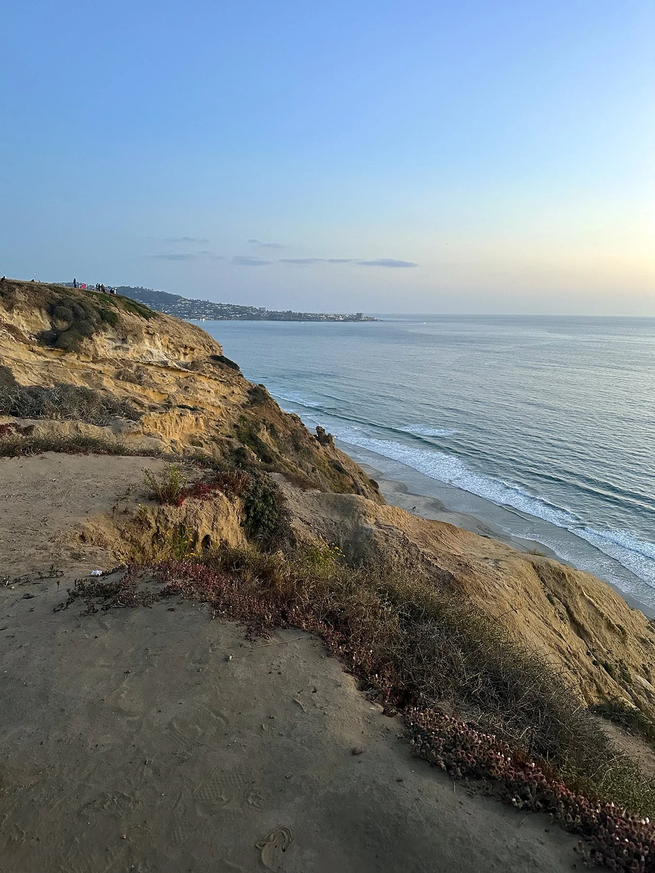
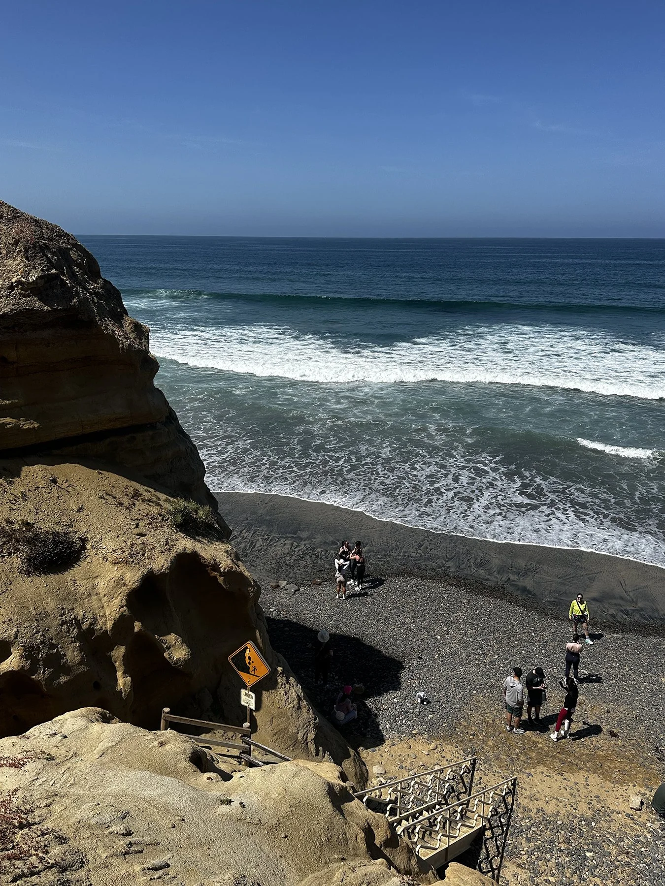
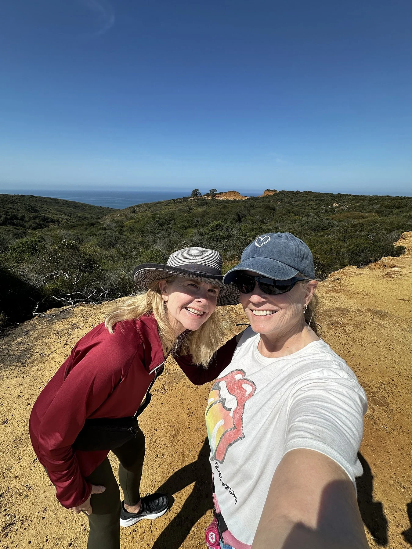
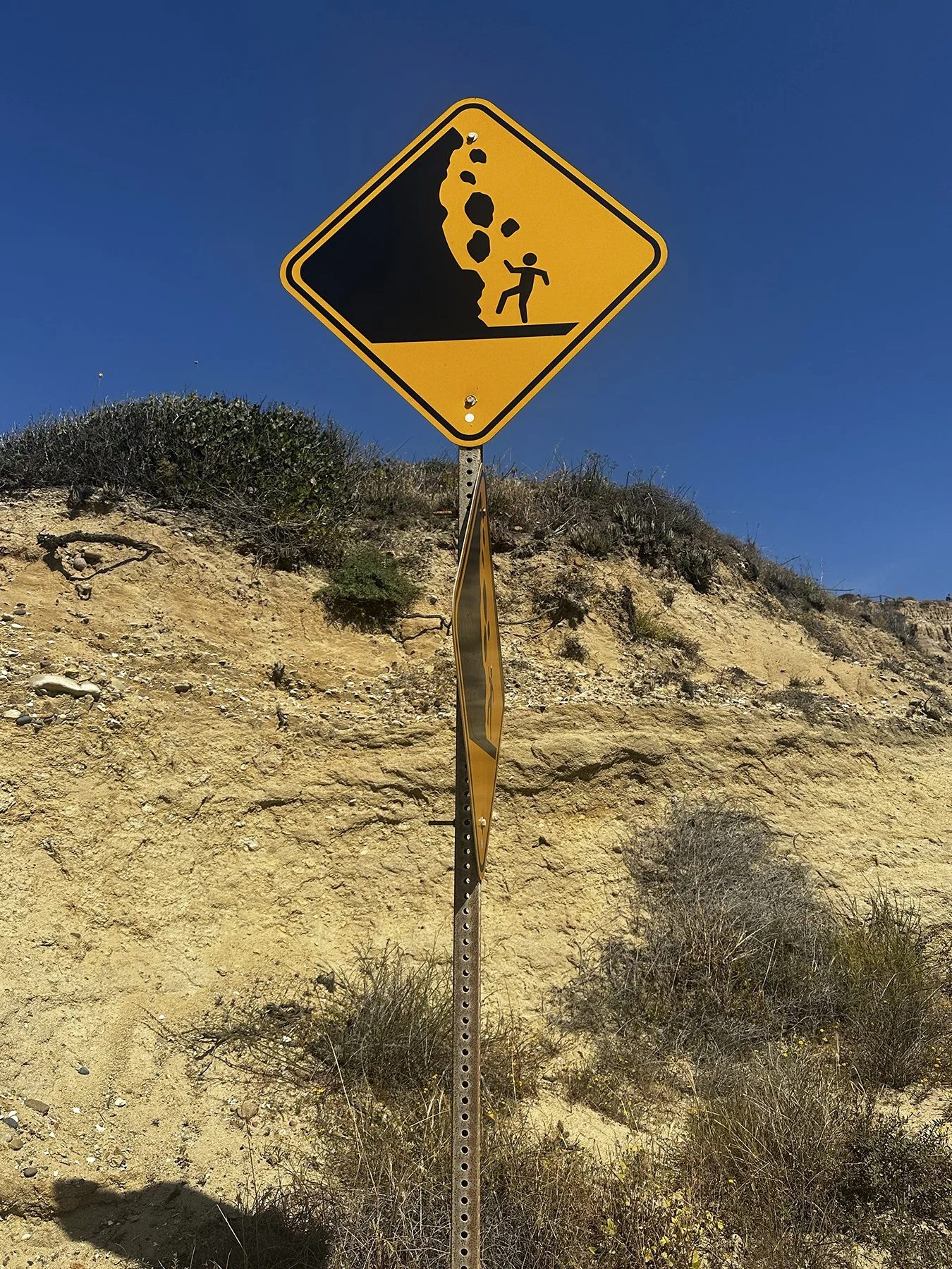
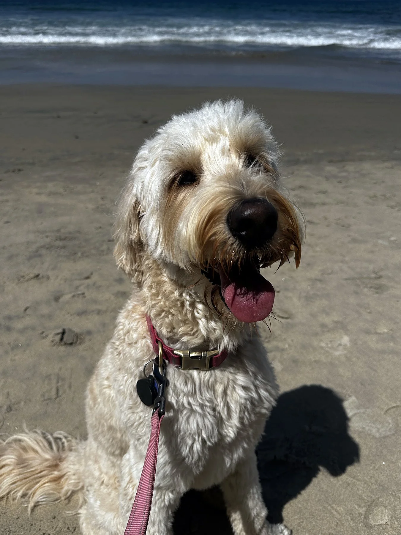
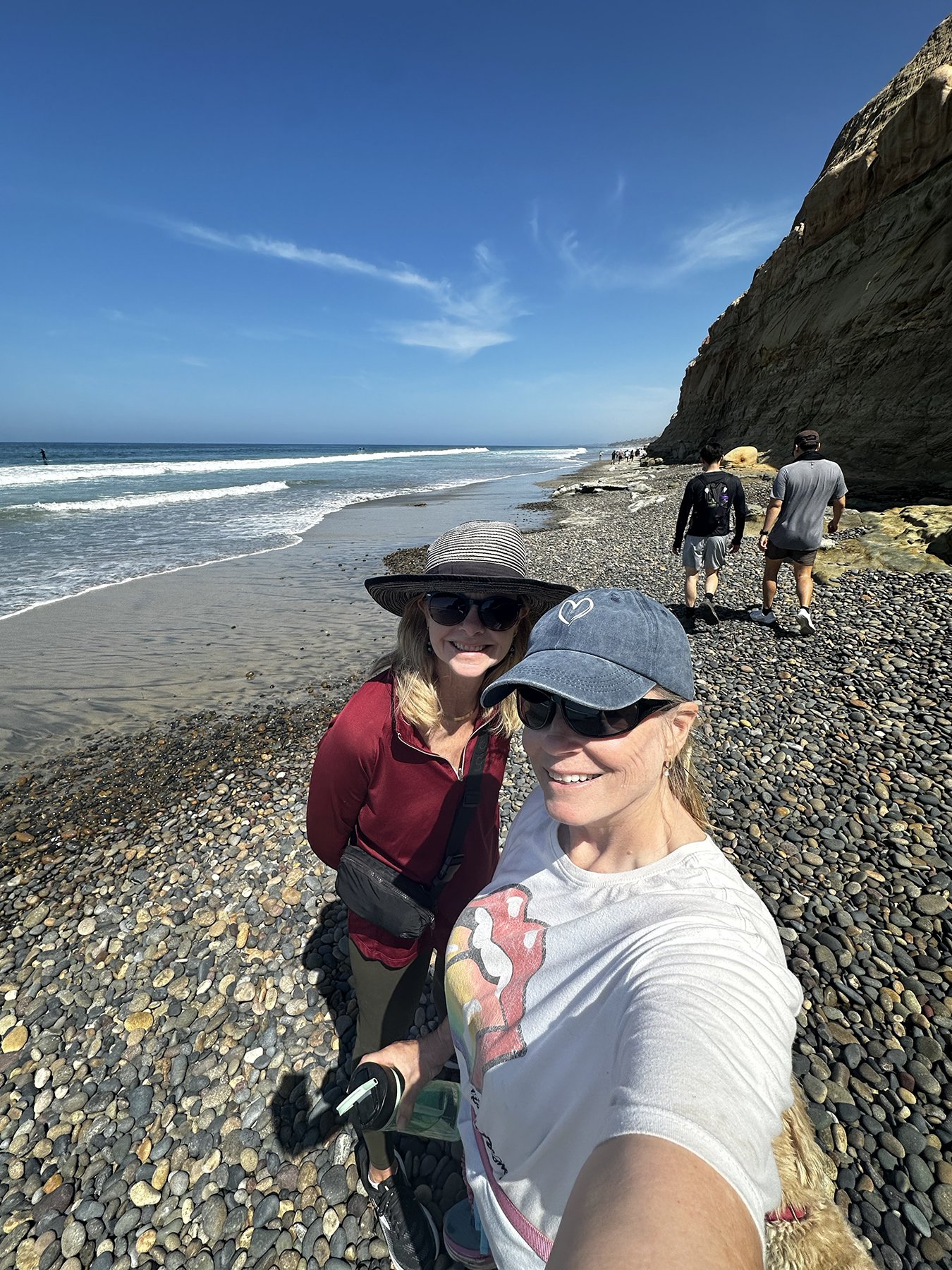
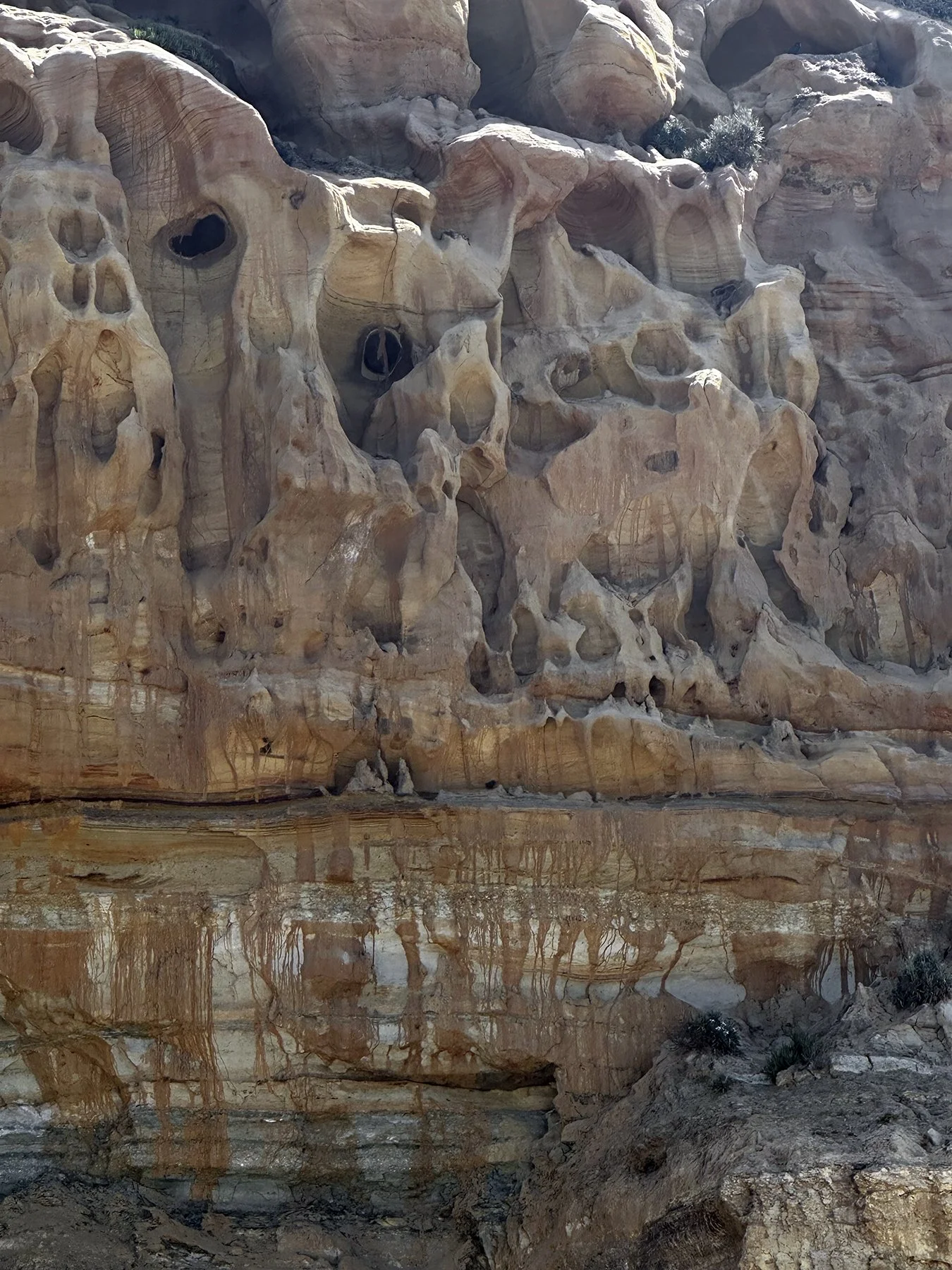
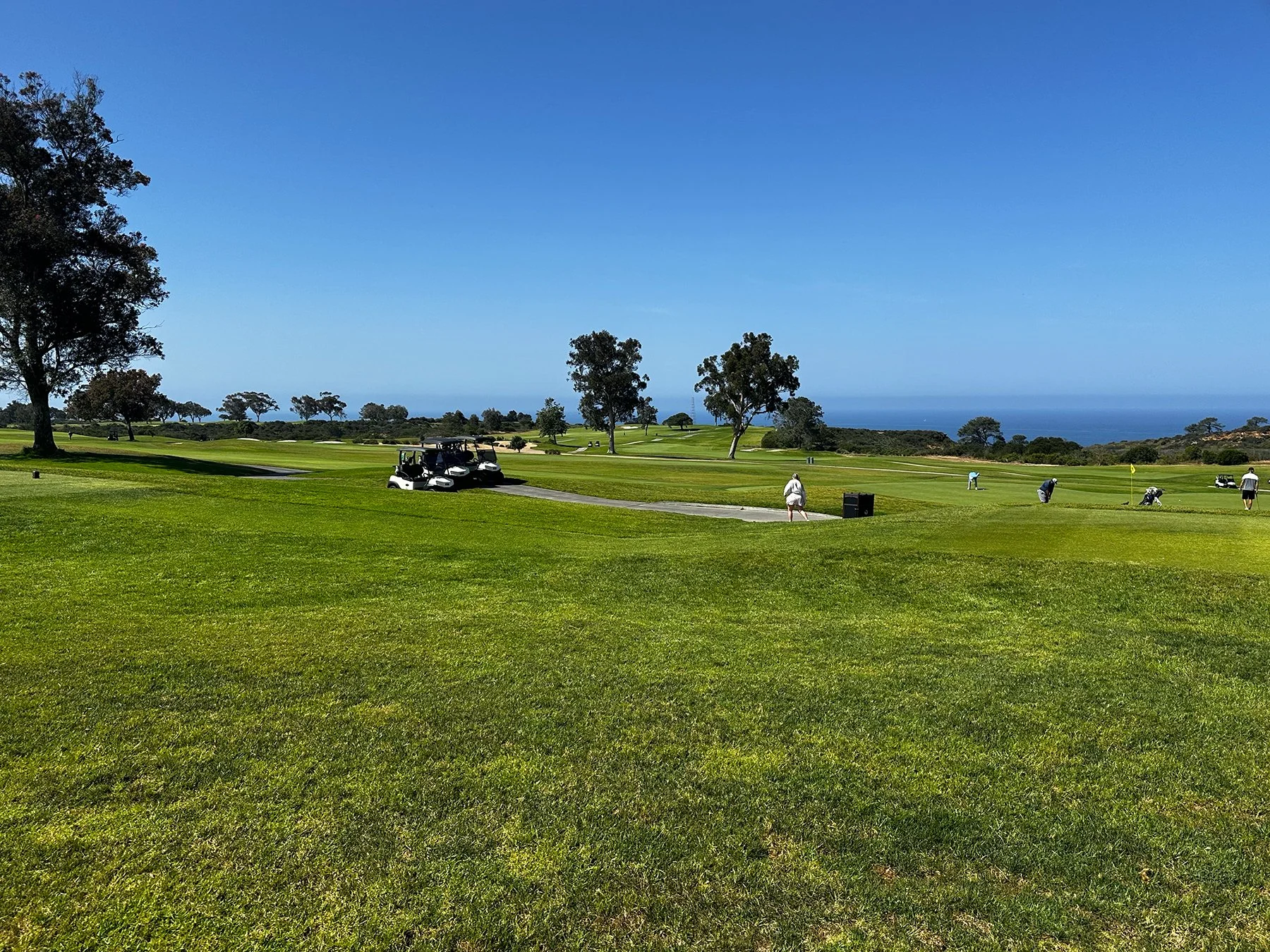
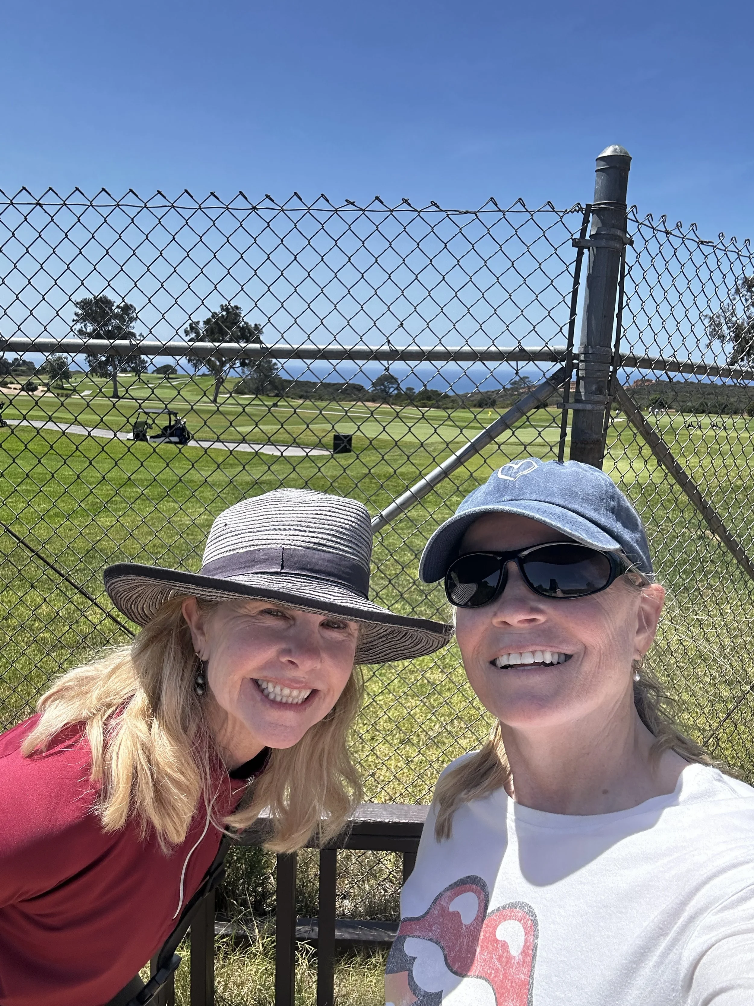
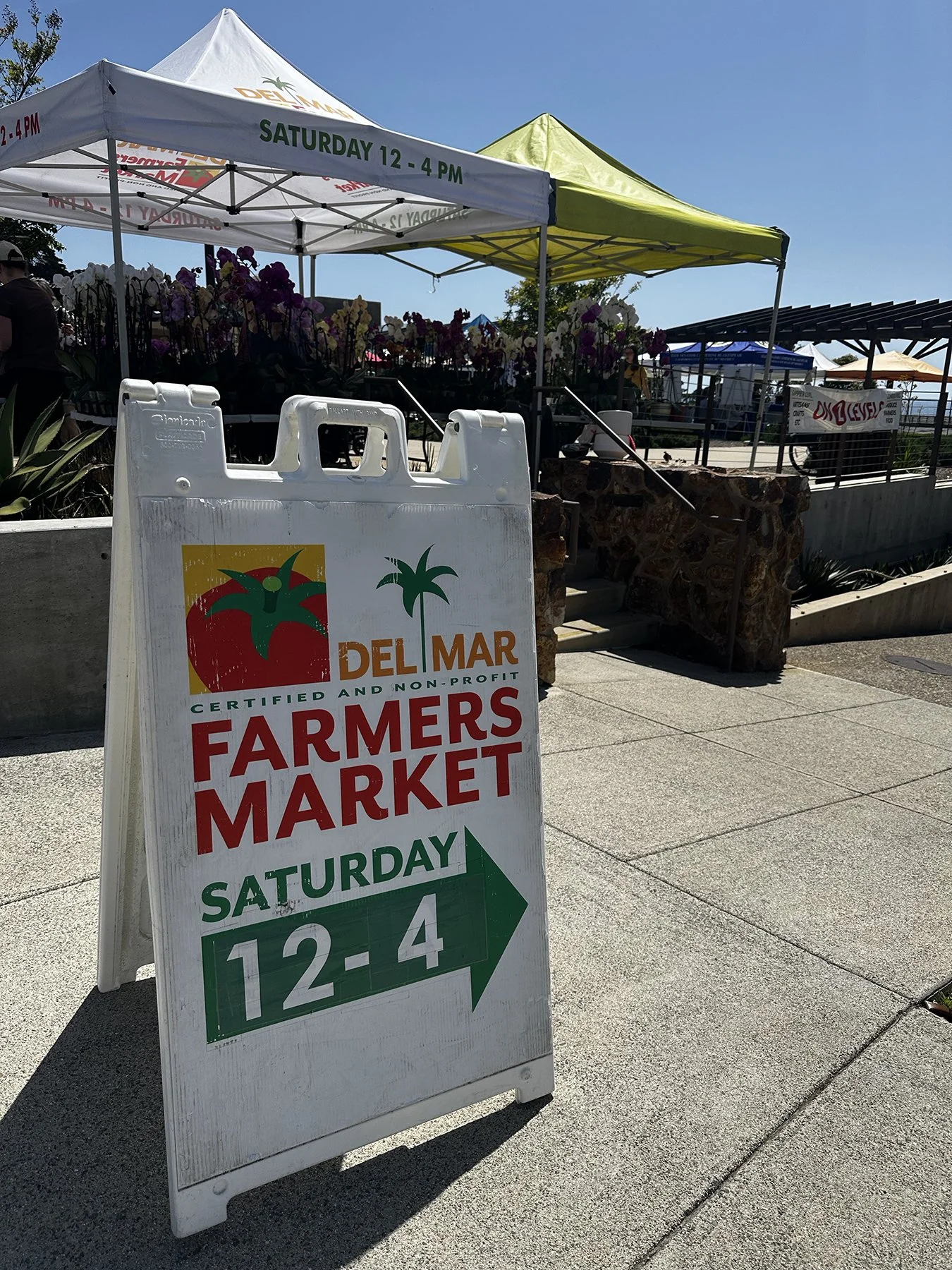
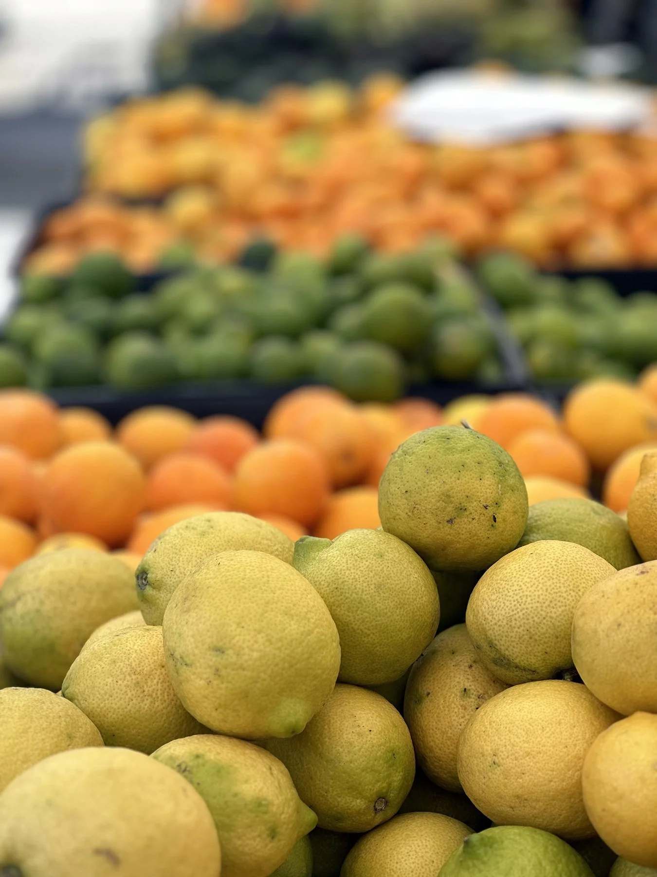
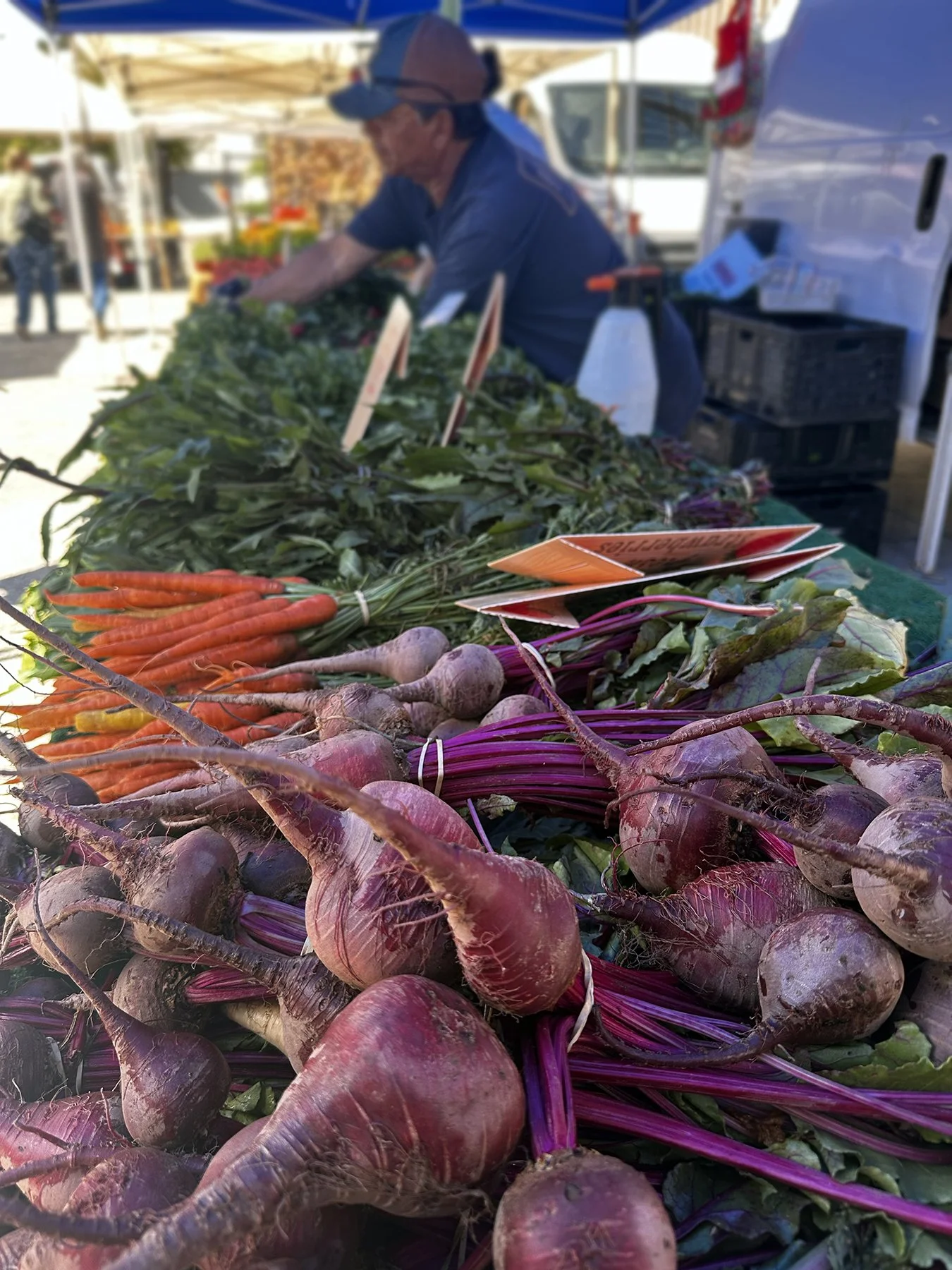
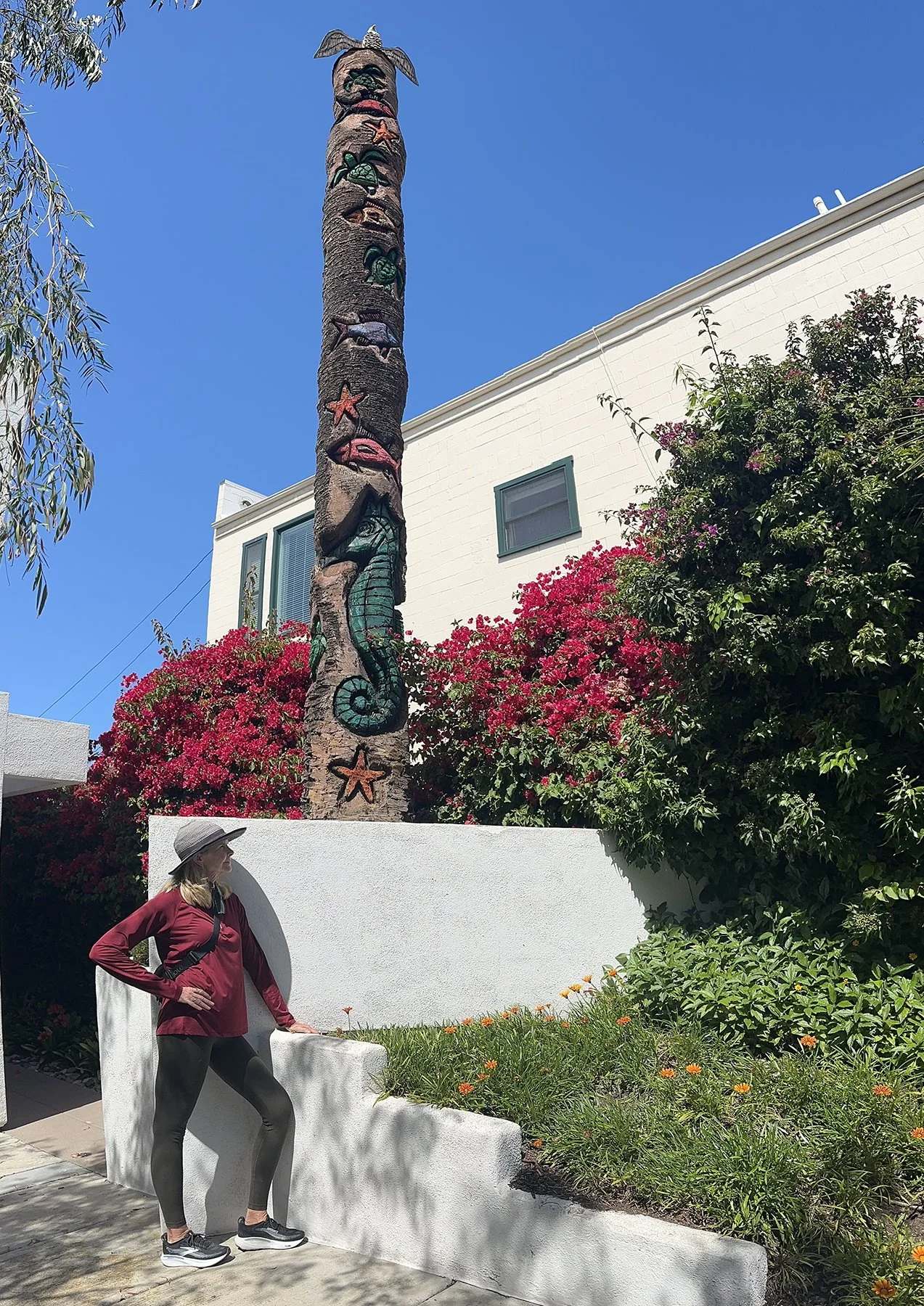
Our last day in San Diego took us to Balboa Park—“San Diego’s ever-changing, always amazing, 1,200-acre backyard.” Balboa Park is a historic urban cultural park near downtown San Diego. Placed in reserve in 1835, the park's site is one of the oldest in the United States dedicated to public recreational use. The park hosts various museums, theaters, restaurants, and the San Diego Zoo. Kris and I walked what felt like every inch of it! With Maisie in tow, we couldn’t go to the zoo or into any of the museums, but have been to them before and highly recommend them! Especially the zoo. Known as one of the best in the world (and the most visited zoo in the United States), Michael and I had taken Maddy there a couple of times when she was just a toddler. I still have fond memories of those trips!
As beautiful as all areas of the park are, we actually saw a few different girls in their over-the-top Quinceañera dresses for photo shoots. Loved it! One other cool thing we came upon was the Spreckels Organ, the largest outdoor organ in the world! And someone was rehearsing on it while we were there. See the pic below for more info on the organ, if interested.
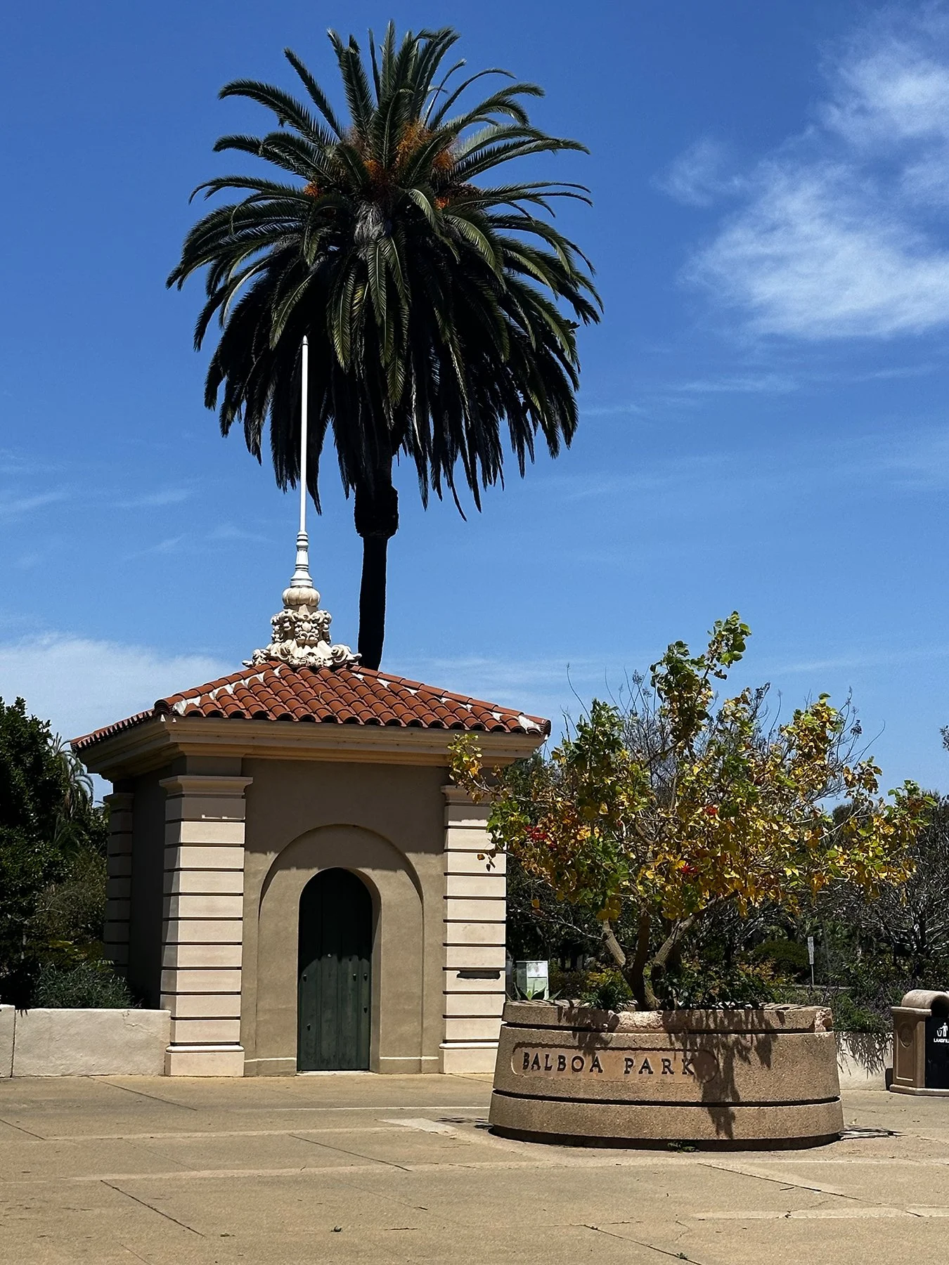
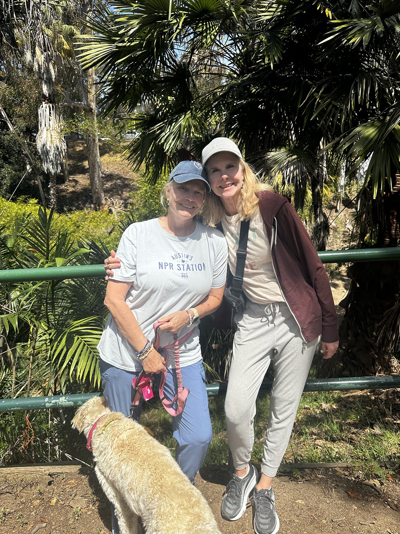
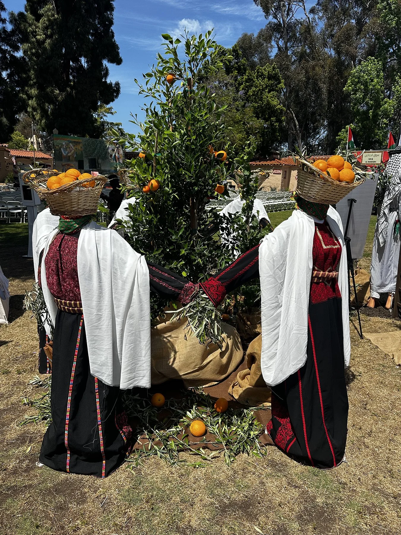
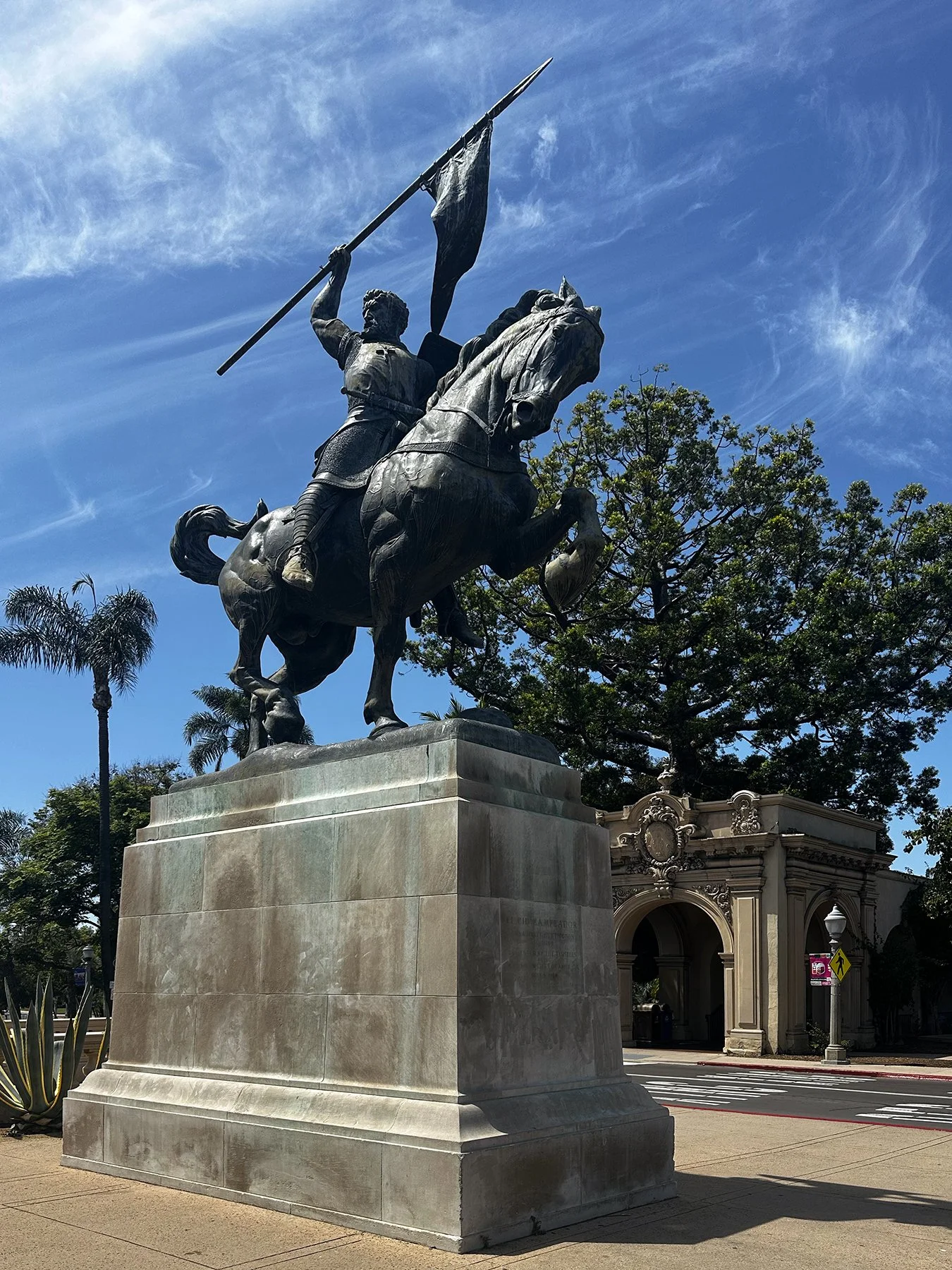
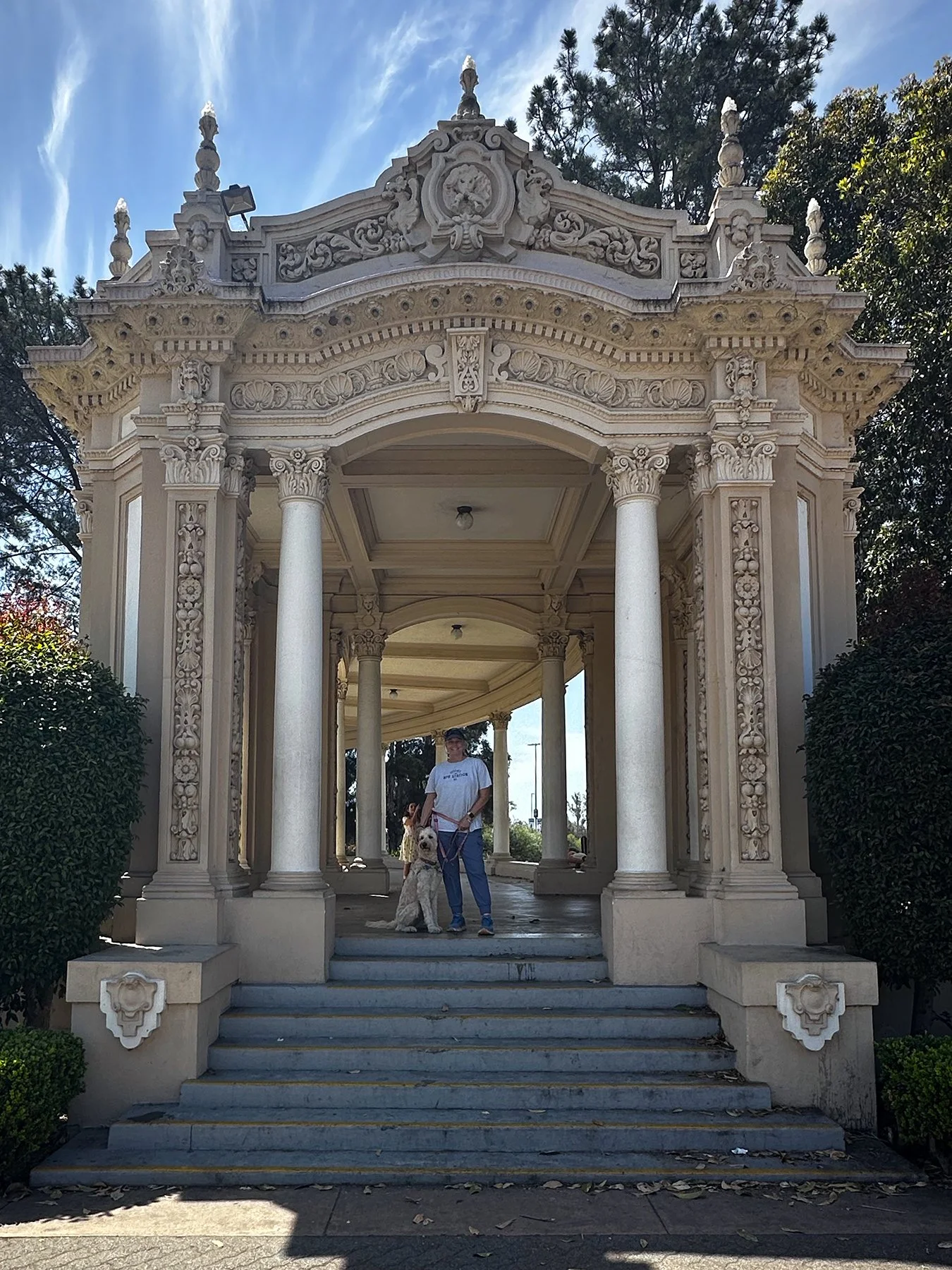
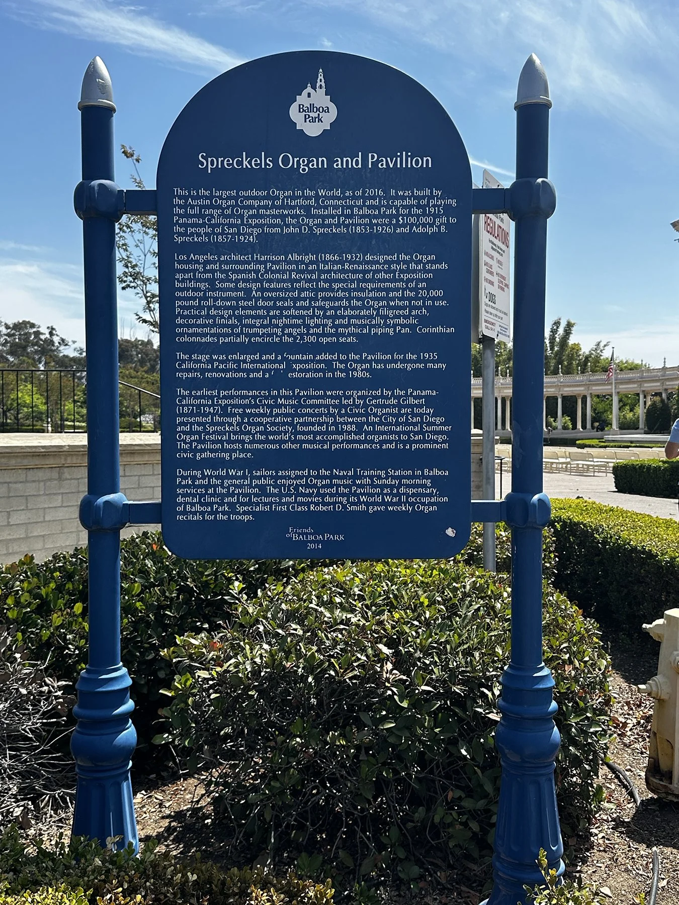
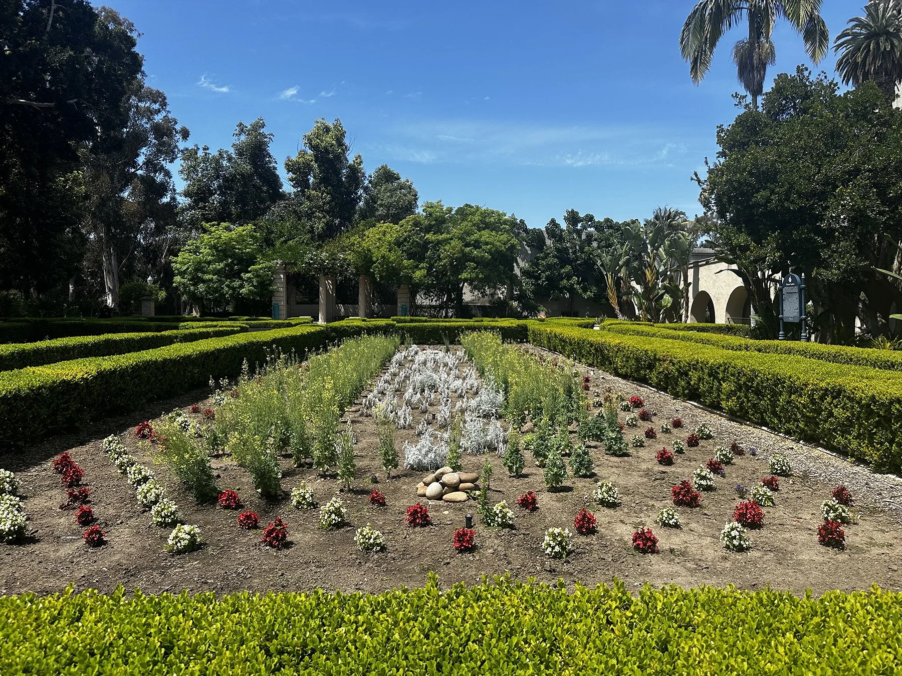
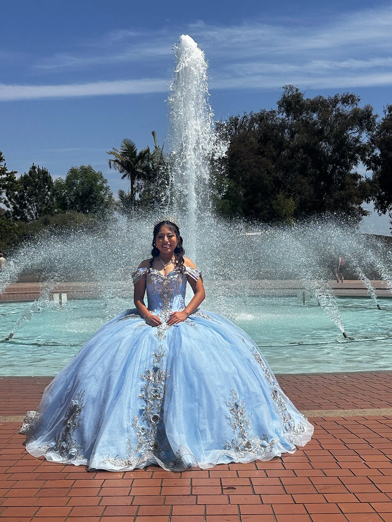
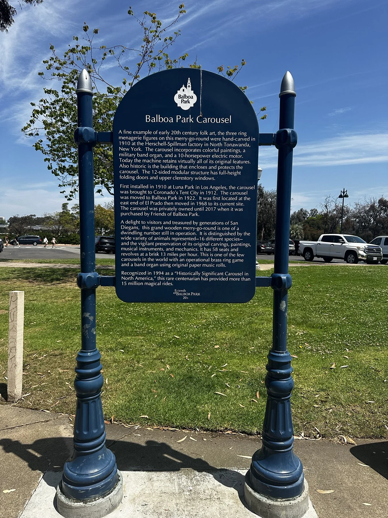
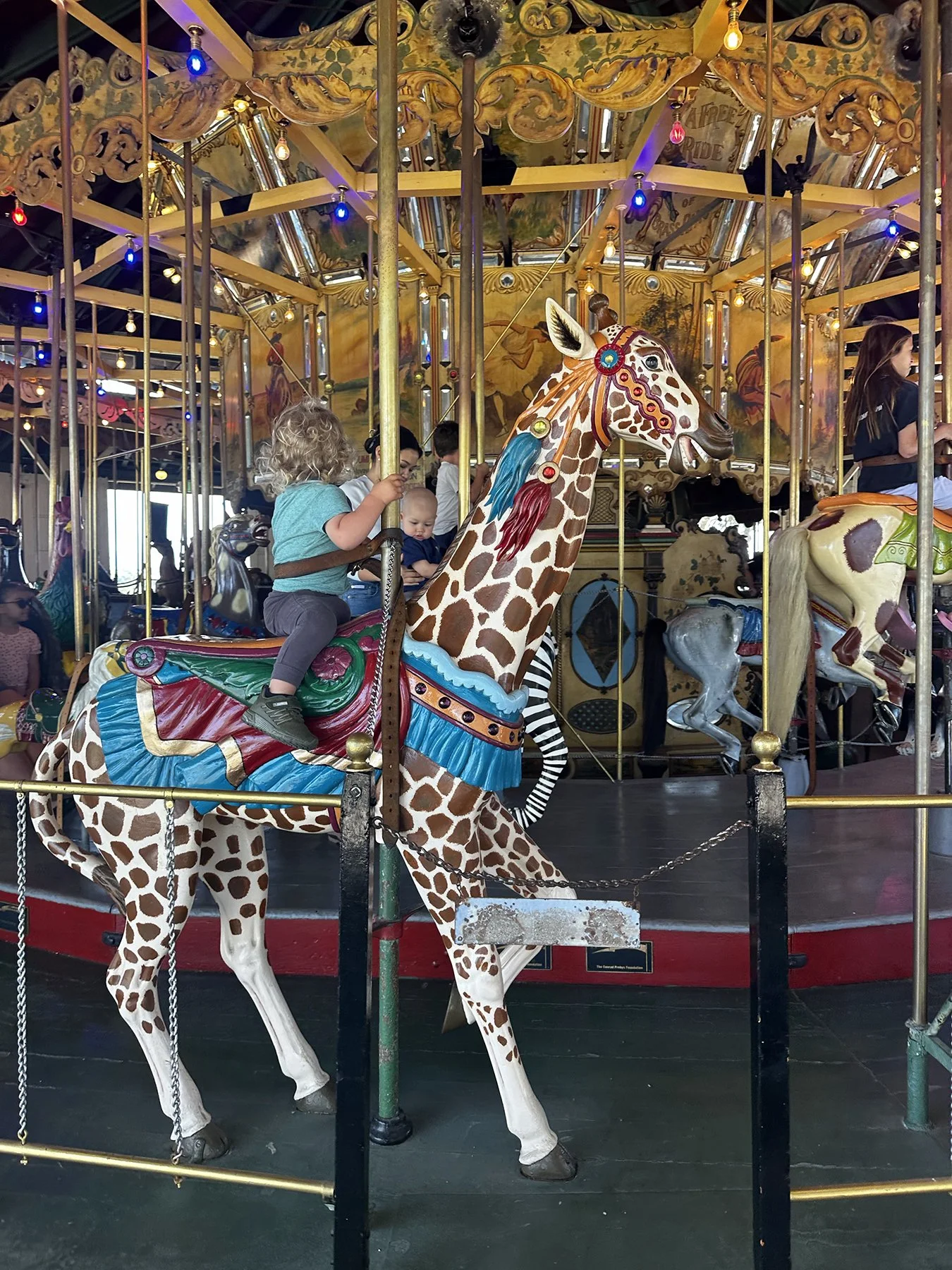
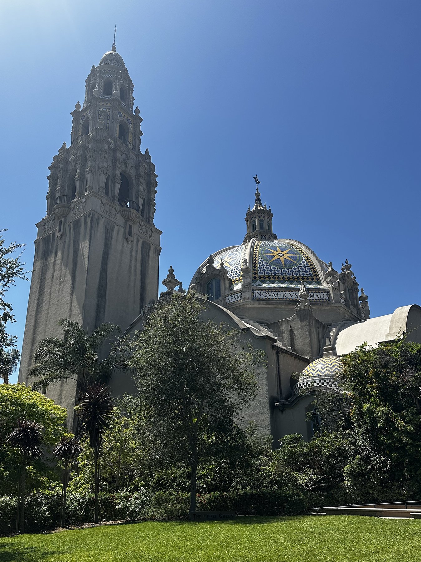
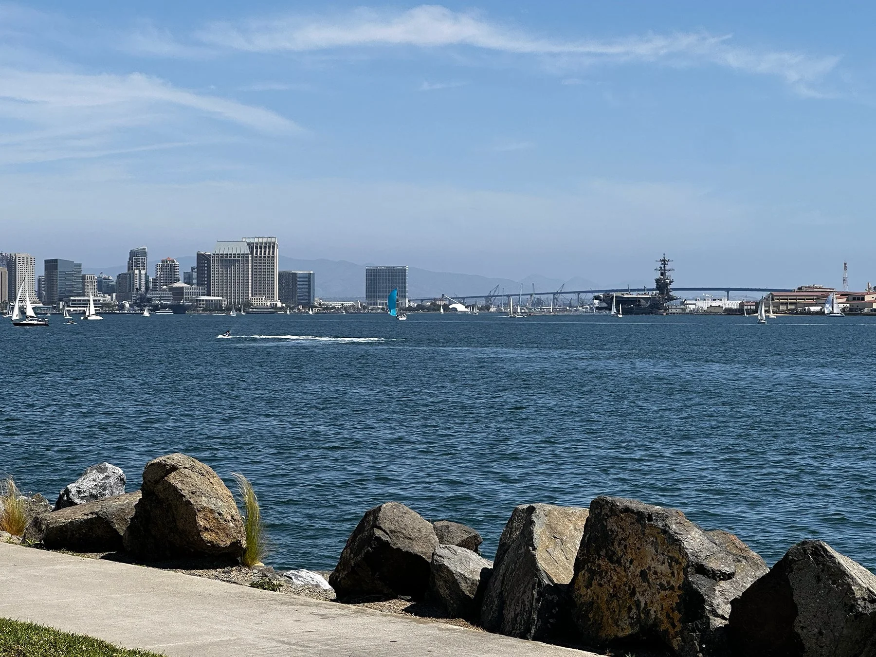
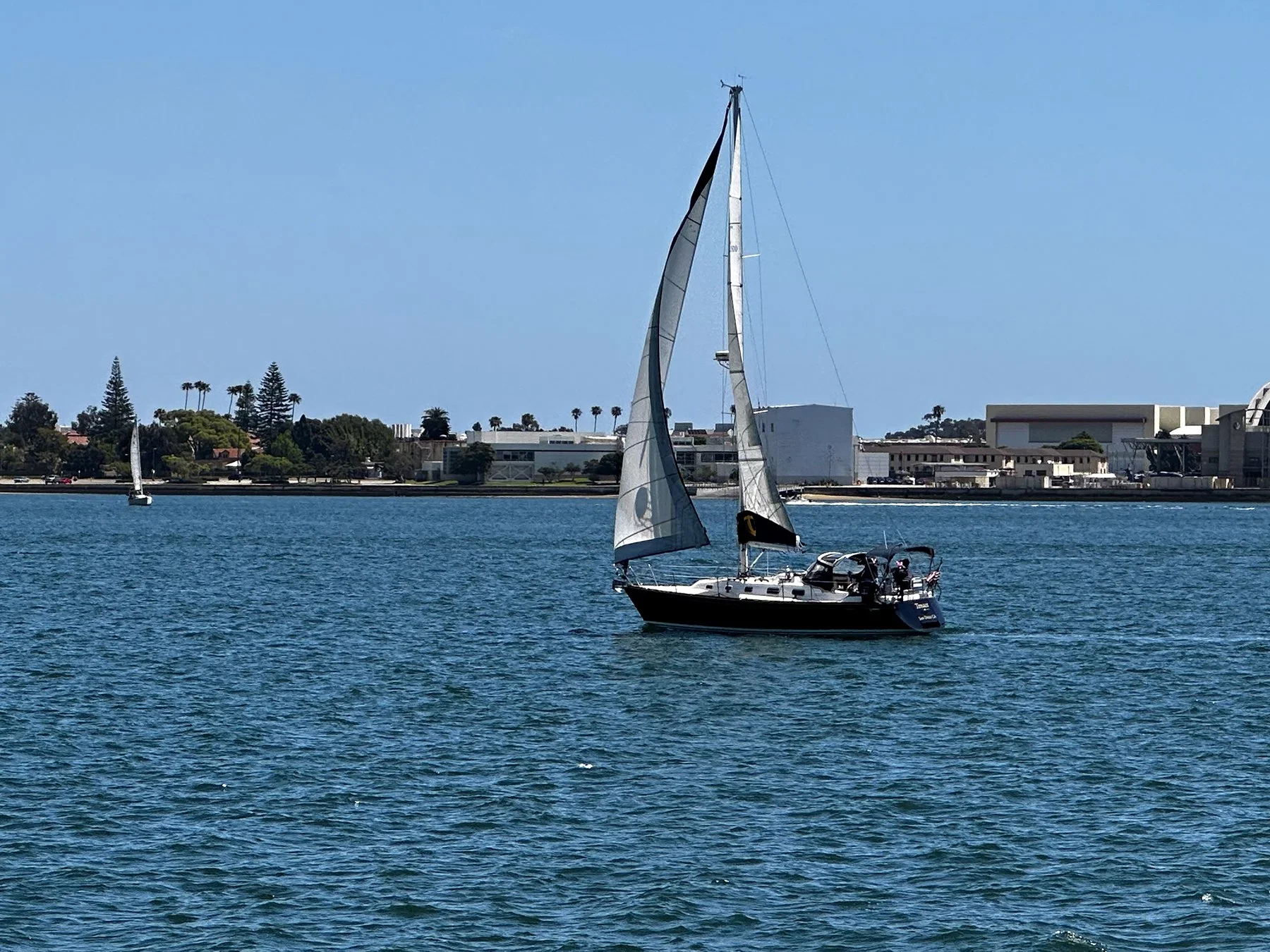
All in all, the best part of the amazing weekend spent in San Diego was hanging out with Kris and her family (and dogs! and tortoise!). I’m so grateful we kept in touch and treasure the time we got to spend together.
And now it’s time to head up the coast of California!
Westward ho!
Tucson was a great little stop and an unexpected gem. But now it’s time to head west for the real meat of my trip. But first … as fate would have it, my daughter Maddy and her husband Zane—who moved from Austin to Boise 18 months ago—happened to be in Phoenix for two days for a Bruno Mars concert (IYKYK). And what two days did that happen to be? The very ones that had me driving from Tucson to San Diego! So YES, I went a little out of my way to spend just a couple of hours with them. That was the best surprise of the week, for sure! I do love hanging out with my young-adult kids. And catching up with one of her childhood friends and her family while there was icing on the cake.
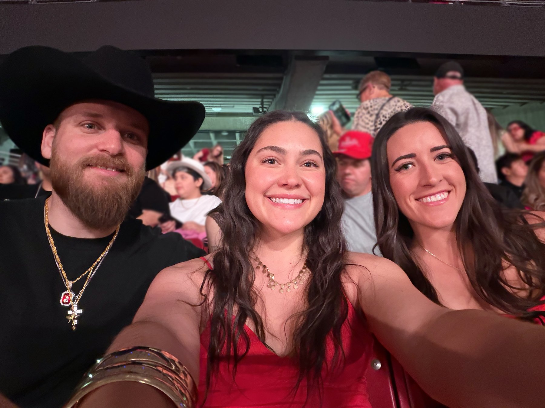
Of course I ended up staying way too long, and when I realized we wouldn’t reach our reserved camping spot at Salton Sea SRA until way after sunset, I decided to make a gametime call and find a closer place to stop. I don’t like having to eat a reservation, but it really was the safest thing to do. Some state parks are difficult enough to navigate during the day, but at night in potentially total darkness? No, thank you. So, thanks to Google, we found a lovely little pull-through, full hookups RV park just over the Arizona/California border off of I-10. Easy, peasey!
My next destination was the home of my college roommate/teammate/BFF in the Torrey Pines area of San Diego. One thing last year’s drive around the country taught me, though, was to stop at interesting places along the way, rather than race directly from Point A to Point B. You know?
As soon as I realized that one of my route options was just 6 miles from the south entrance of Joshua Tree National Park, I said, Heck Yeah! Let’ go! I had not originally had Joshua Tree on my list of NPs to get to this time around, so I was really happy to at least check out part of it. I couldn’t really take the two hours it would have required to get up high enough to see those famous trees, but we did get to see some more beautiful mountain desert landscapes, as well as the best sign of the day: “Don’t Die Today.” I mean, how effective is that?!
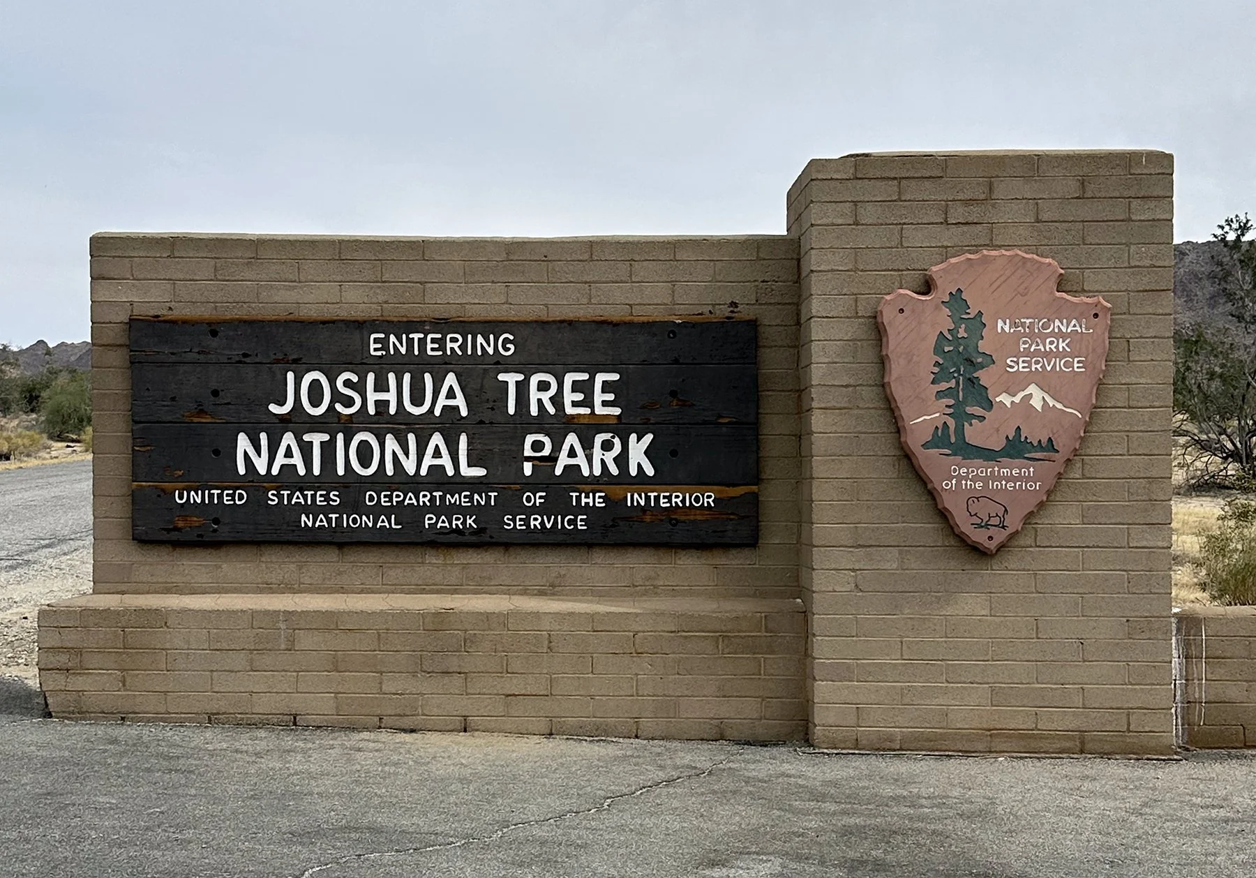
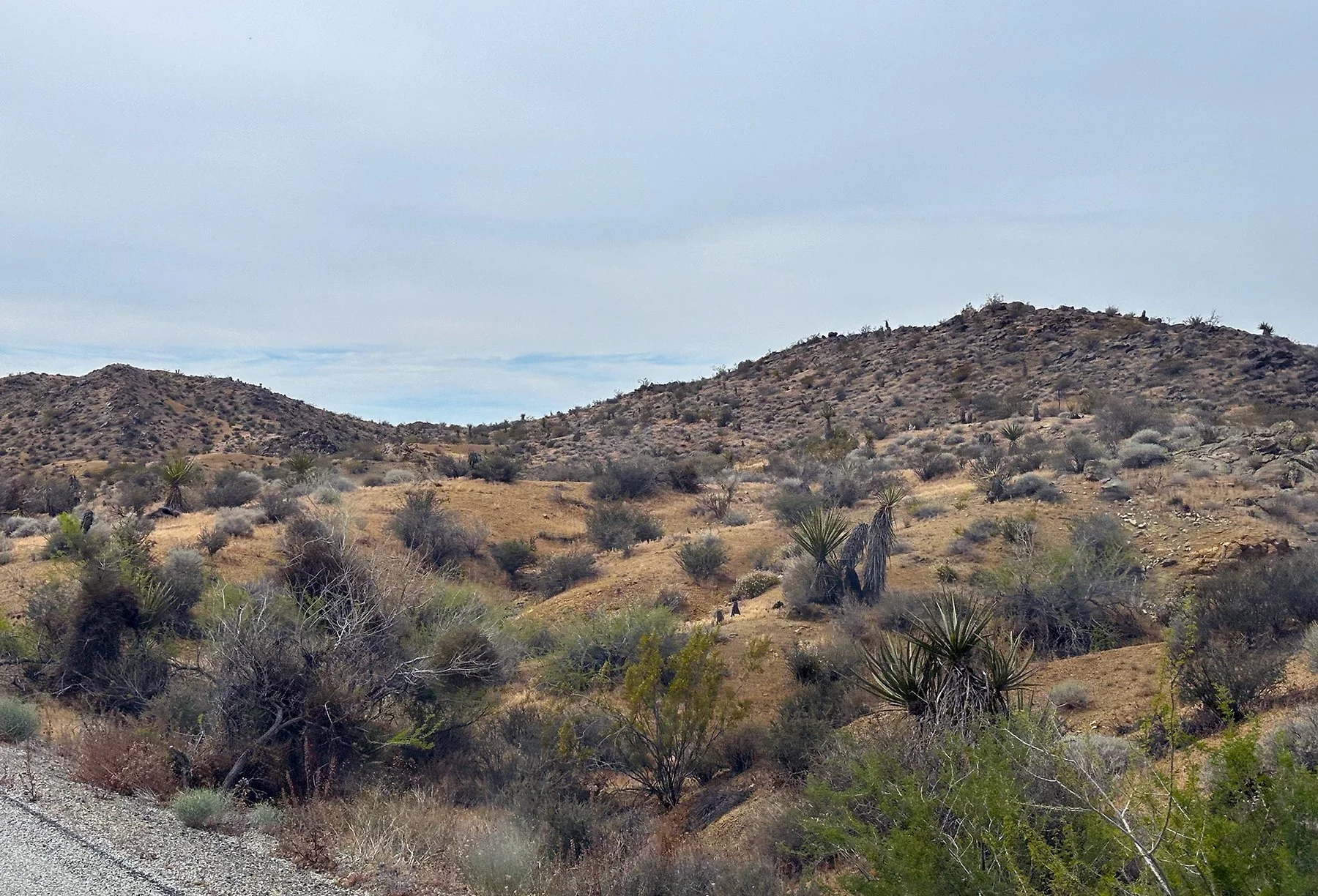
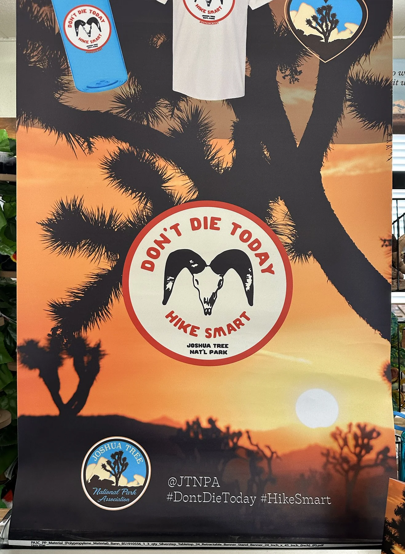
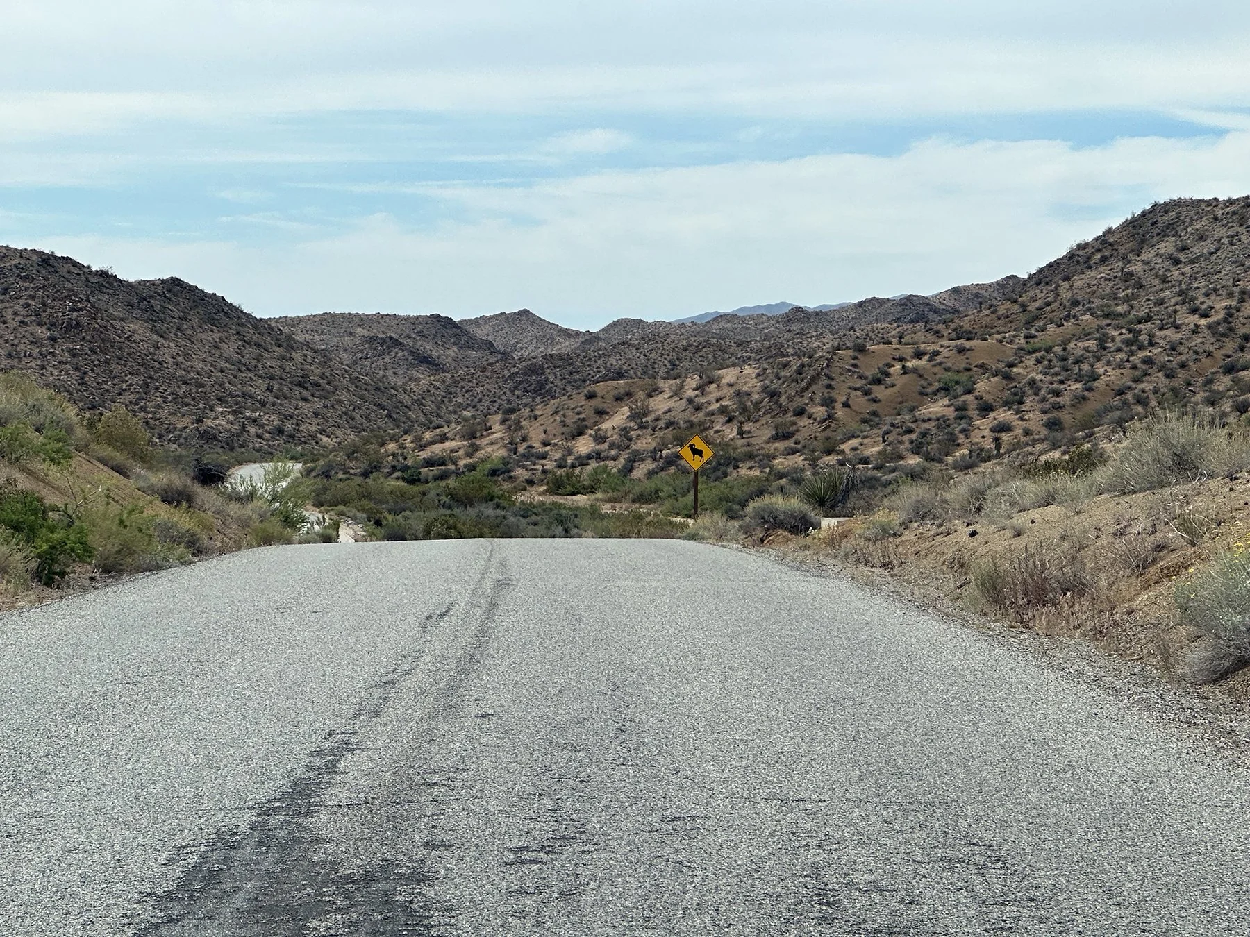
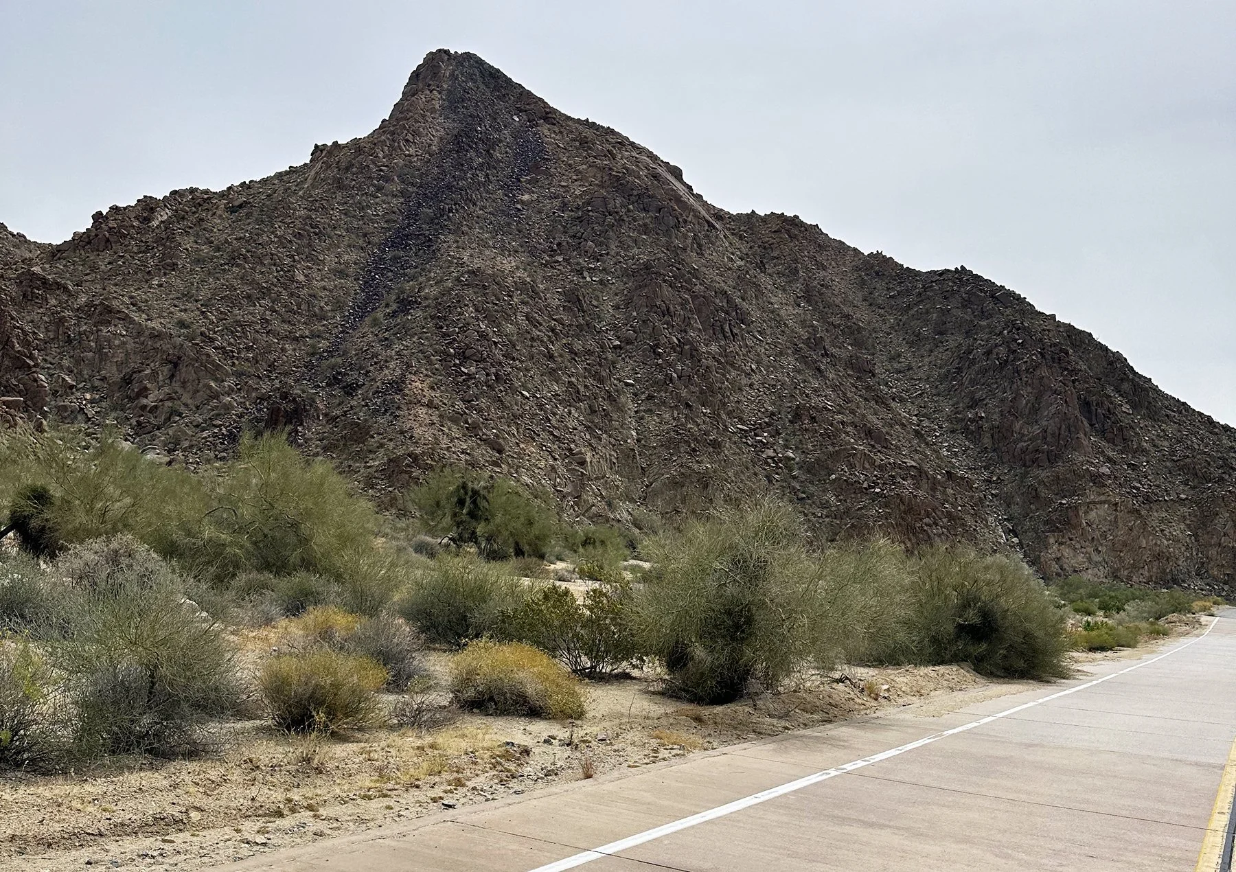
Next along our path was going to be Palm Springs, California. What an adorable, beautiful, quaint(ish), very California little town! Maisie and I walked up and down the main drag, past interesting art installations, groovy café’s, wonderful statues, funky shops and a fair number of other tourists. The part we hiked around was a little more touristy than I expected, but I still would highly recommend it! The most memorable part? A 26-foot tall sculpture of Marilyn Monroe. Twenty-six feet tall! Apparently, Marilyn Monroe was “discovered” in Palm Springs in 1949, at the age of 22. She and her second husband, the famous baseball player Joe DiMaggio, were regular visitors in the 1950s. We came across a statue of Sonny Bono as well; you may recall that he served as the mayor of Palm Springs (1988 to 1992), then became a U.S. Representative in 1995 before his unexpected death from a skiing accident in 1998. I have to ask, though, does anyone else remember those iconic Sonny and Cher variety shows from the 1970s? Tell me you’re not singing “I Got You Babe” right now. In case you were wondering, The Sonny & Cher Comedy Hour premiered in August 1971 and ran for three seasons before being cancelled due to their divorce. They had guest stars from Muhammad Ali to Paul Anka, Carol Burnett and George Burns to Truman Capote, Dick Clark and Farrah Fawcett. The list goes on and on. What a hoot!
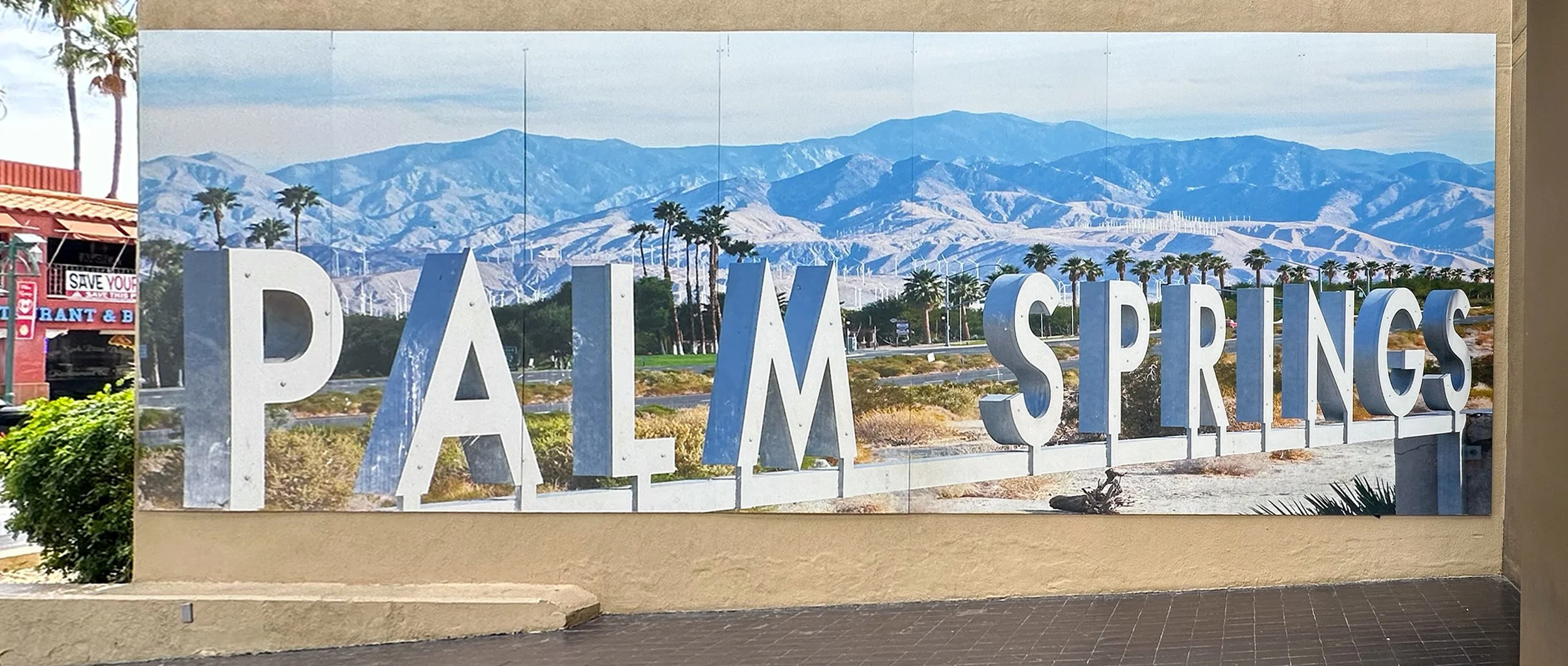
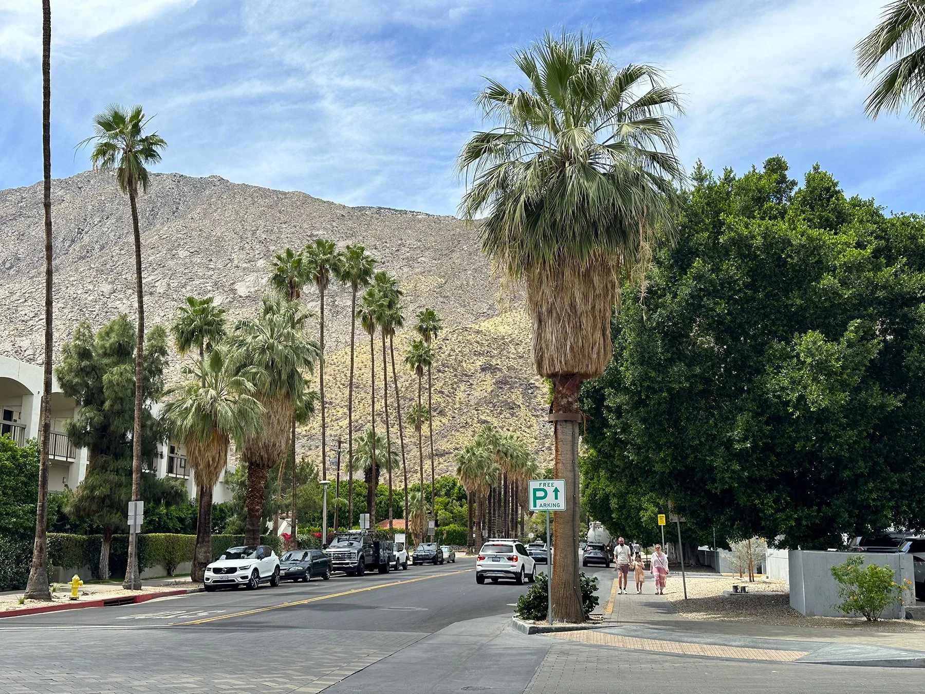
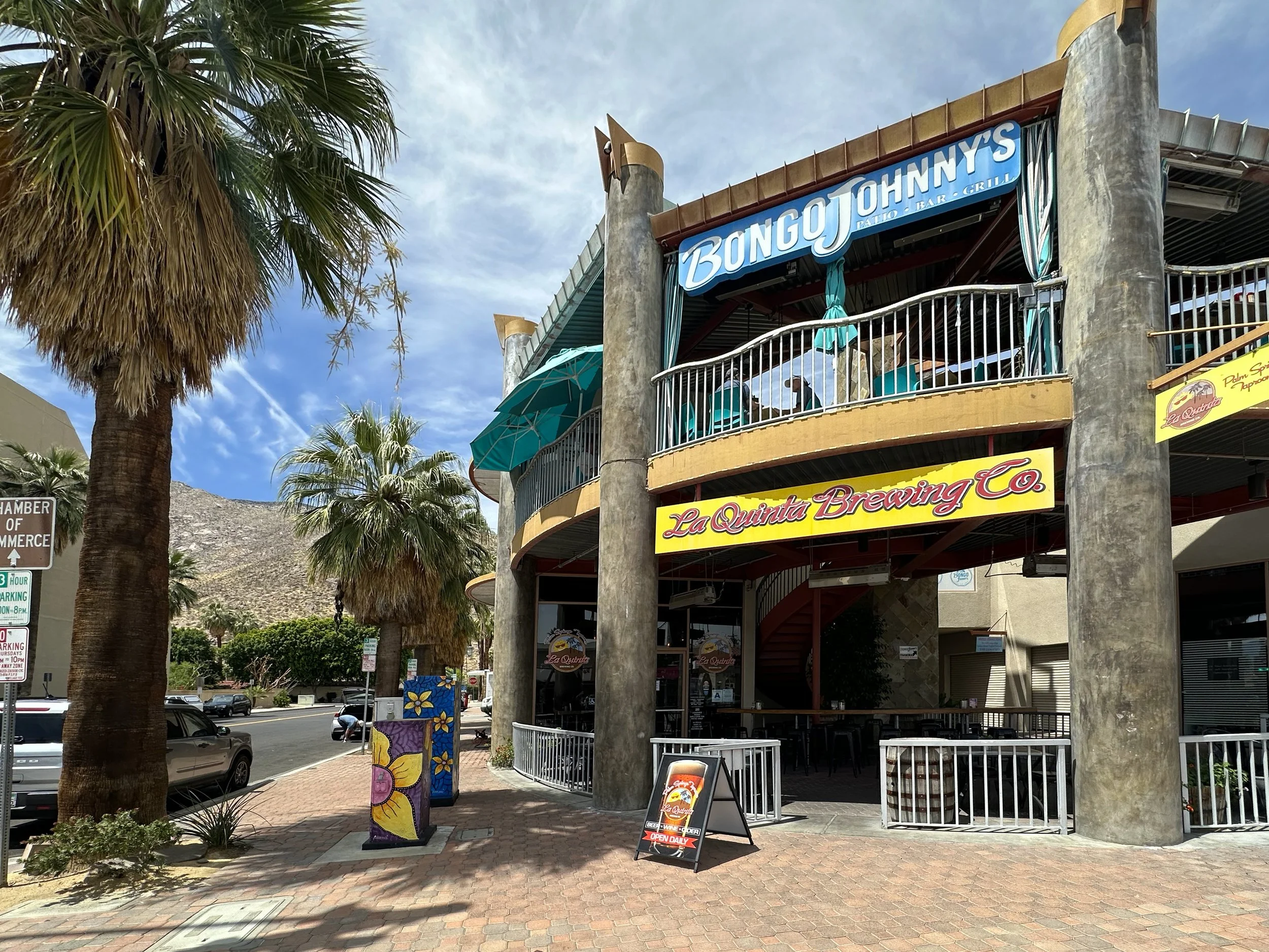
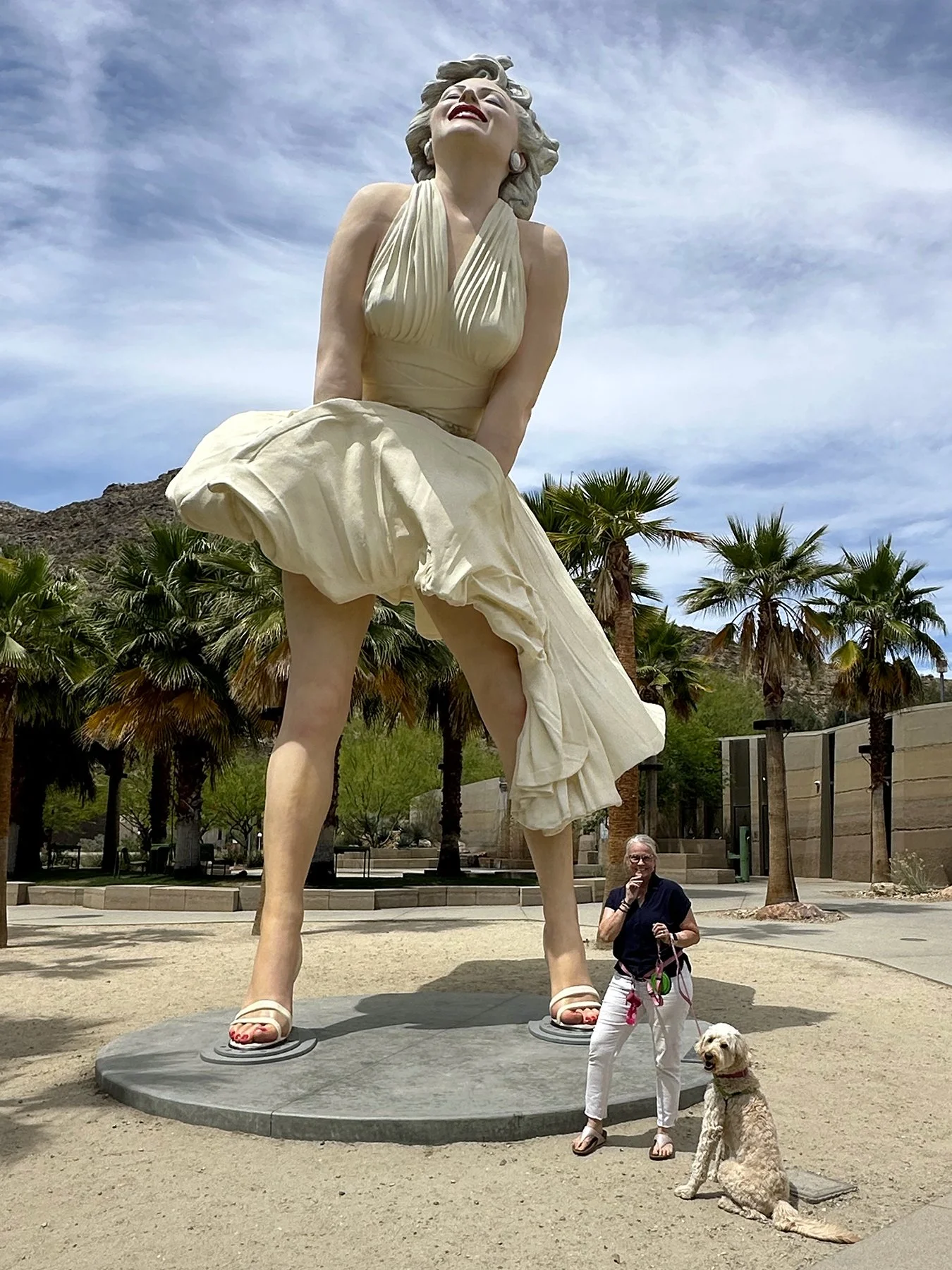
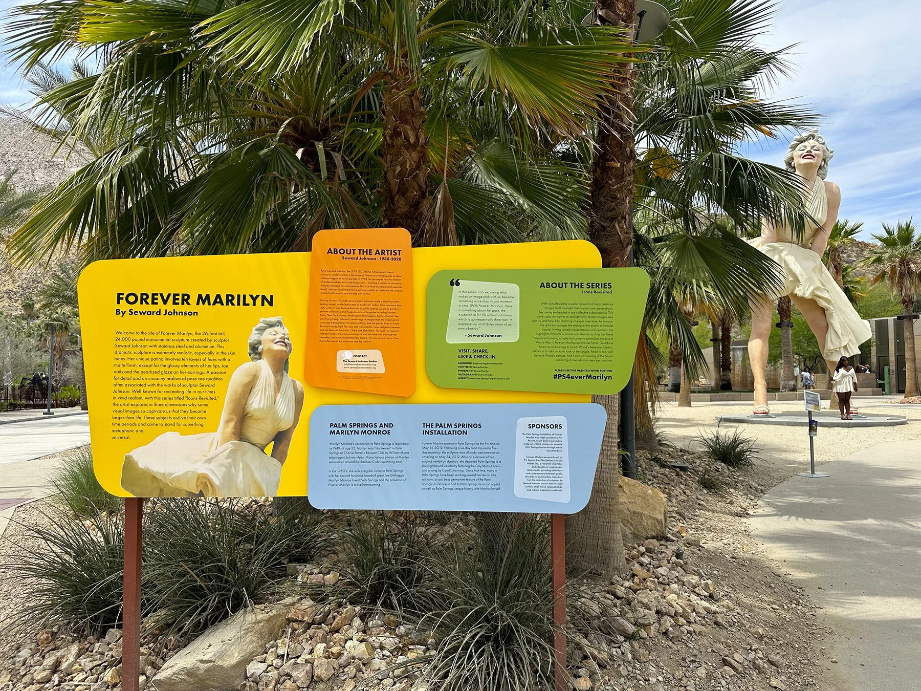
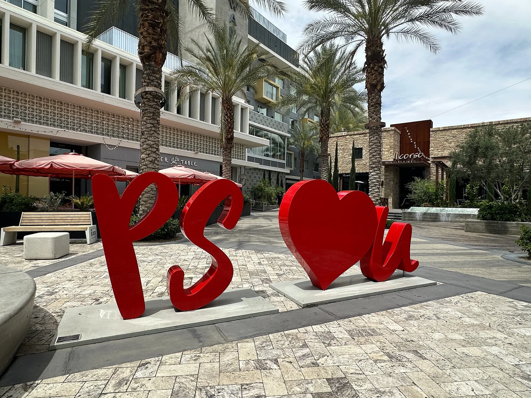
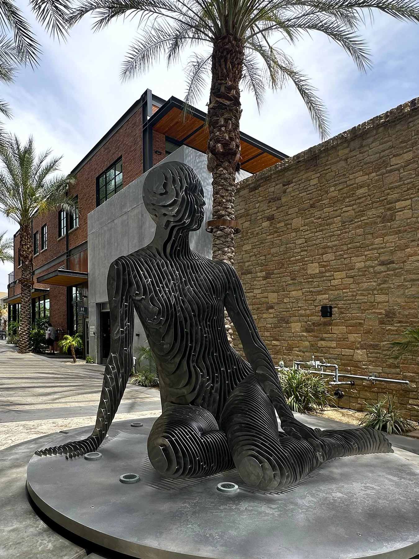
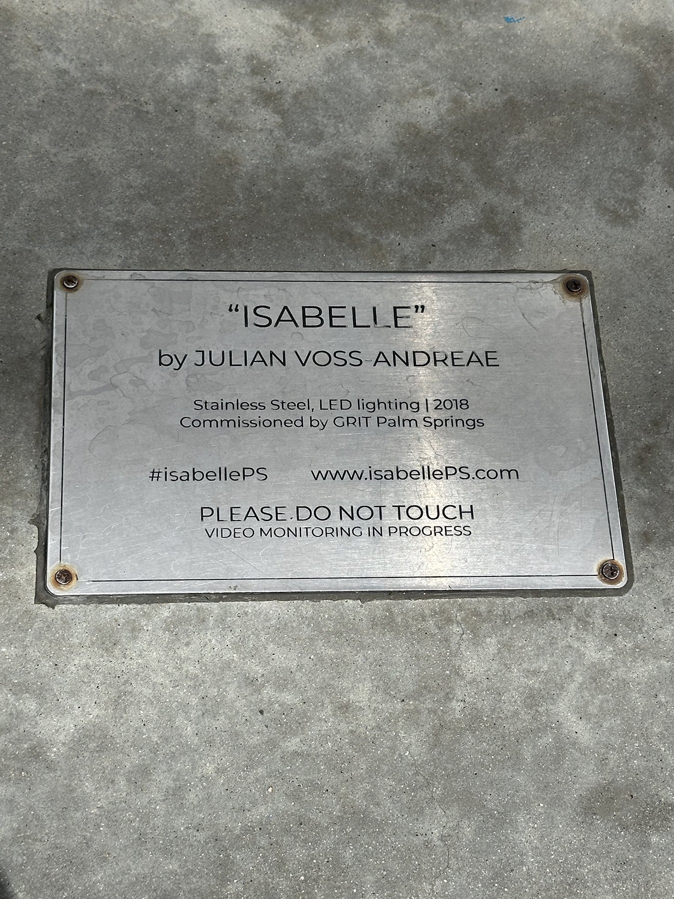
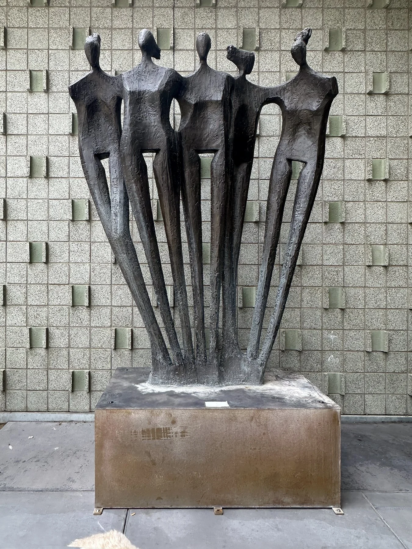
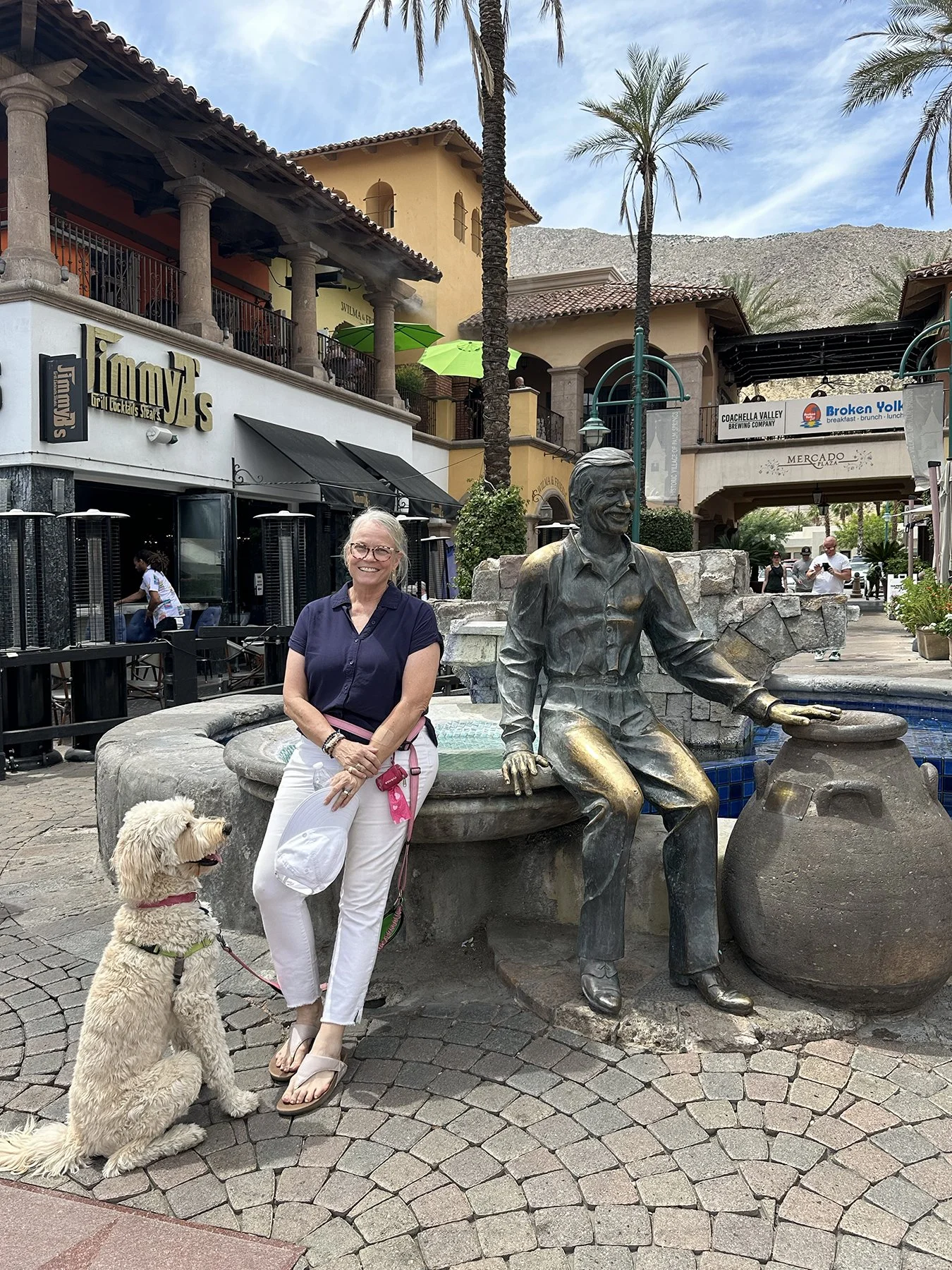
My youngest daughter, McKamey, thought it was super cool that her mom was in Coachella the week between weekend shows! Fortunately, I passed through there on a Thursday morning, so there weren’t any traffic issues (I was a little worried). Timing is everything!
Next we took off for our weekend destination, my friend Kris’s house. I can’t wait to catch up with my ole’ college bud!
Desert Mountain
Have any of you been to Tucson before? I find it really … unique. And quite beautiful in a way that is so very different from anything I’ve seen before. It sits right in the heart of the Sonoran Desert, which I’ve been told is one of the most biologically rich deserts in the world. Think towering saguaro cacti, wide-open skies, and mountain ranges in every direction.
The light here is something special—it turns everything golden at sunrise and sunset. It seems “quieter” than most cities, and the pace feels intentionally unhurried. It doesn’t appear polished or flashy—and that’s part of its charm IMHO. Even though I was here for just three full days, I was able to take in a little of everything that Tucson is known for.
It didn’t take long for Maisie and me to get back into the swing of things with the RV lifestyle; after three long days of driving, we could finally settle in, unpack a little, and then go explore! Day 1 started out with a short drive to Saguaro National Park – Rincon Mountain District (East). A curving drive up desert mountain roads brought unbelievable vistas overlooking the expansive footprint of Tucson. Jaw-dropping views. I didn’t get many photos because I had to concentrate so much on the narrow road with hairpin turns! Good thing I had unhooked my truck from the camper :D.
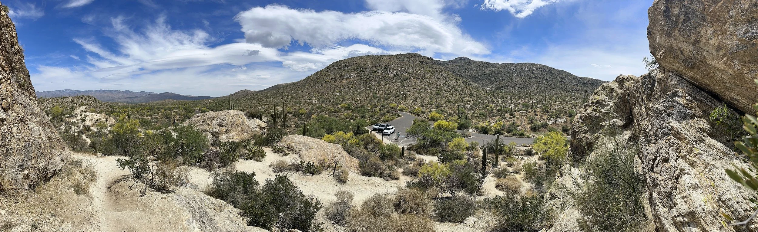
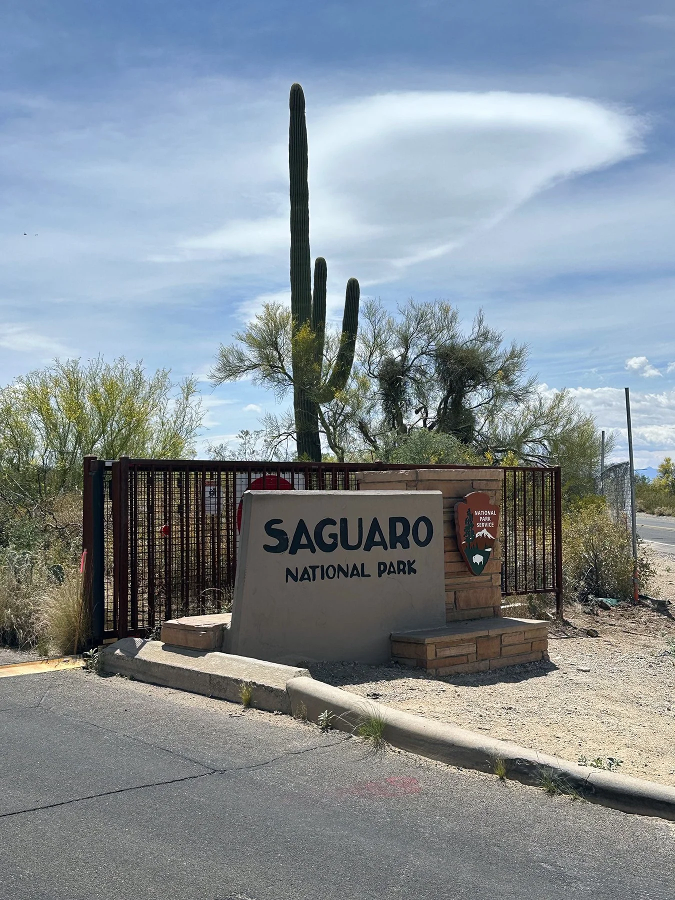
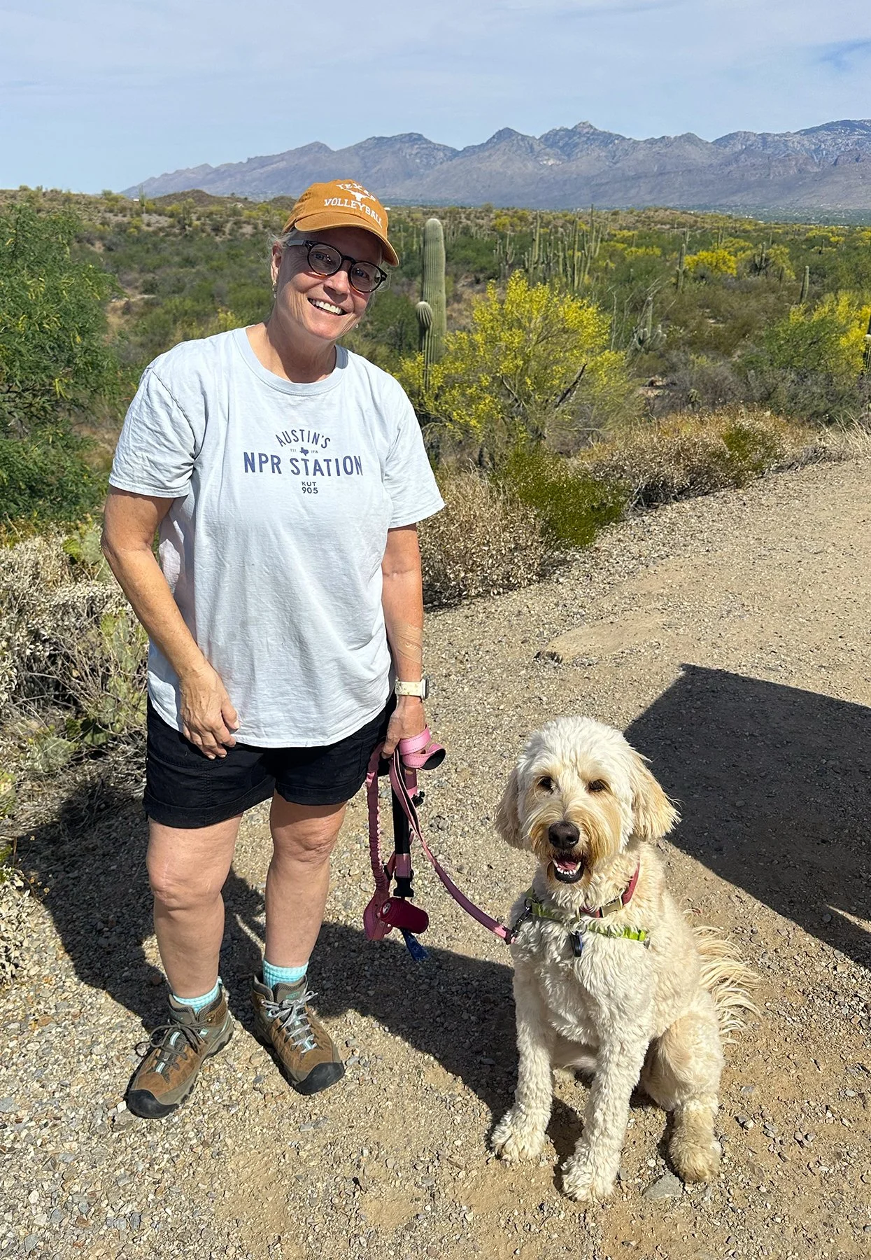
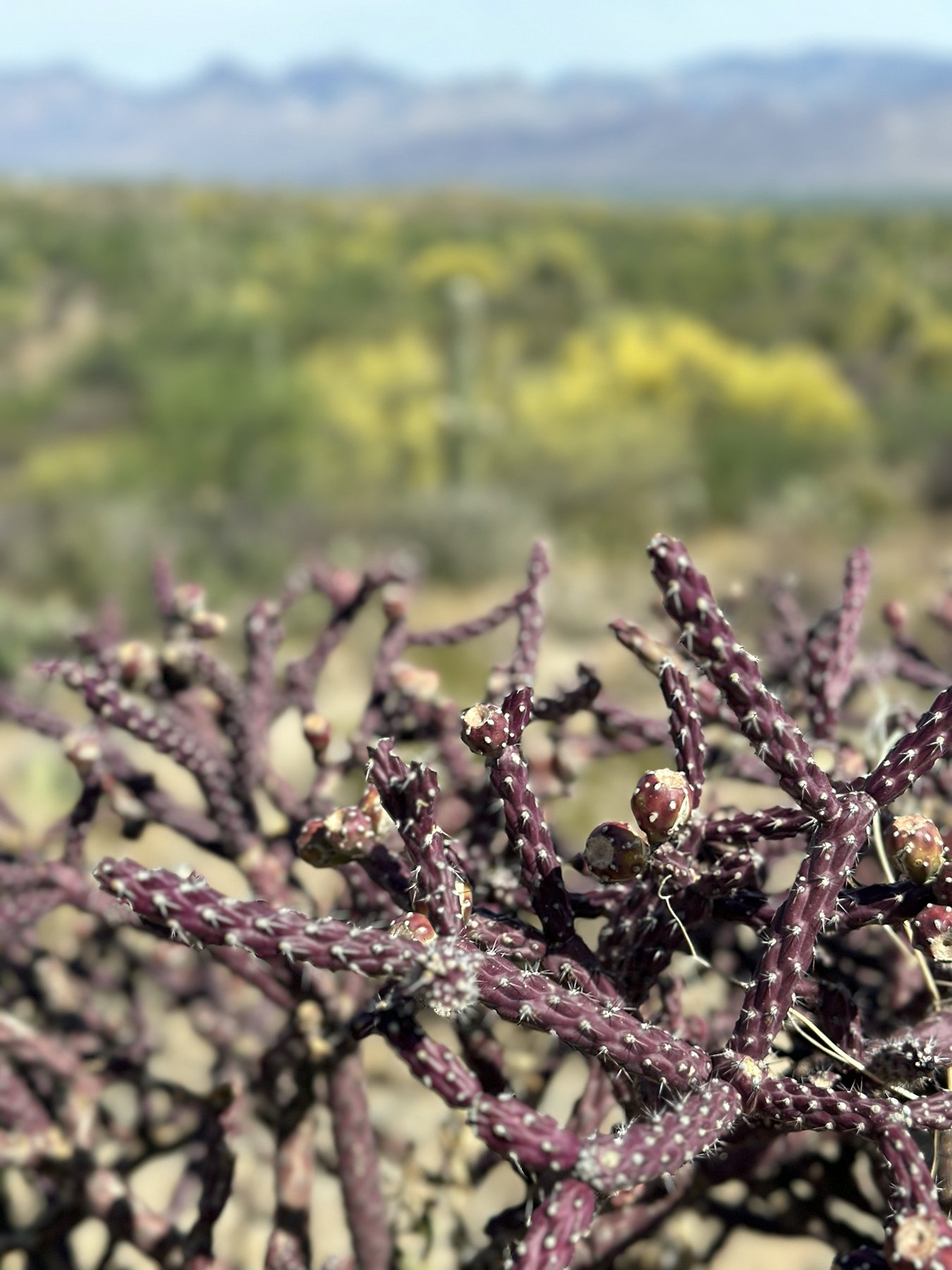
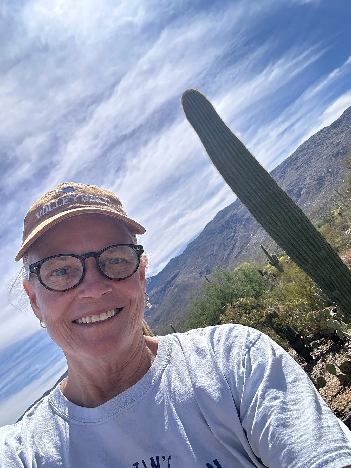
But wait – did I say, “desert mountain”? Hold on for a sec for a little back story as to why those two words don’t go together in my brain. I grew up in the Washington, D.C. area. Big city, big suburbs. The closest desert is 1,500 miles away. The closest mountain? 75 miles. In my mind, those were two very distinct landscapes. I mean, maybe this is pure silliness, but I just haven’t ever seen them merge into one before. (Am I the only one? Admit it - you didn’t know they could join together to form the most interesting landscape you might imagine!) I’m not sure why I find this so astounding, but there it is. Full-on dry desert land with lots of sand and dirt, small bushes, and then there’s those giant saguaros. But all along the sides of a mountain! And those saguaros? Let me just say that they are very cool – so much so that Saguaro National Park was actually created to protect the vast forests of giant saguaro cacti here in the Sonoran Desert. Did you know the saguaro (Carnegiea gigantea) can live 150–200 years and reach 40–60 feet tall? The park protects more than 25 cactus species along with creosote bush, mesquite, and desert wildflowers. Wildlife ranges from roadrunners, Gila monsters, and javelinas to coyotes, bobcats, and—at higher elevations—black bears and white-tailed deer. Fortunately, we haven’t seen any bears (yet), but we spotted some rabbits and lots of lizards out on the trails that morning. There’s a really pretty paved loop around part of the park—Cactus Forest Loop—just 8 miles long but with lots of scenic pull-outs and trails to hike; I’d highly recommend it!
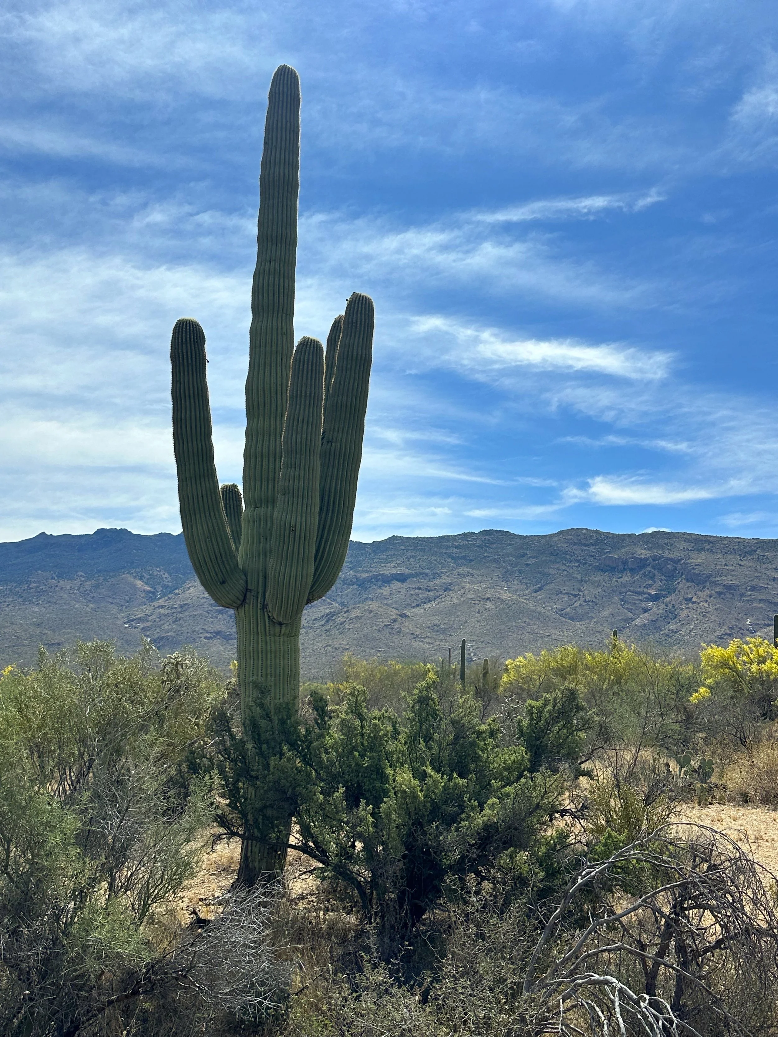
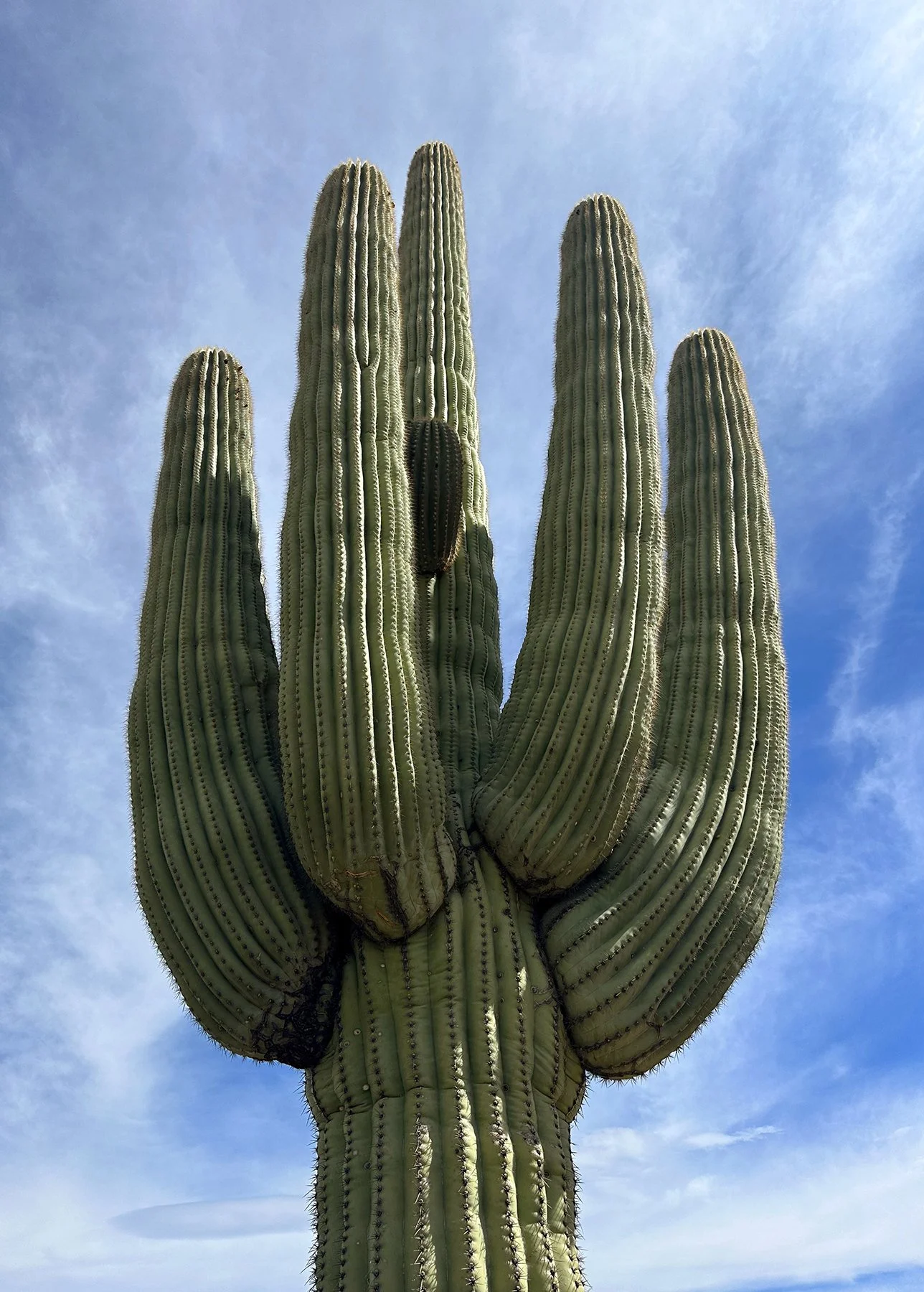
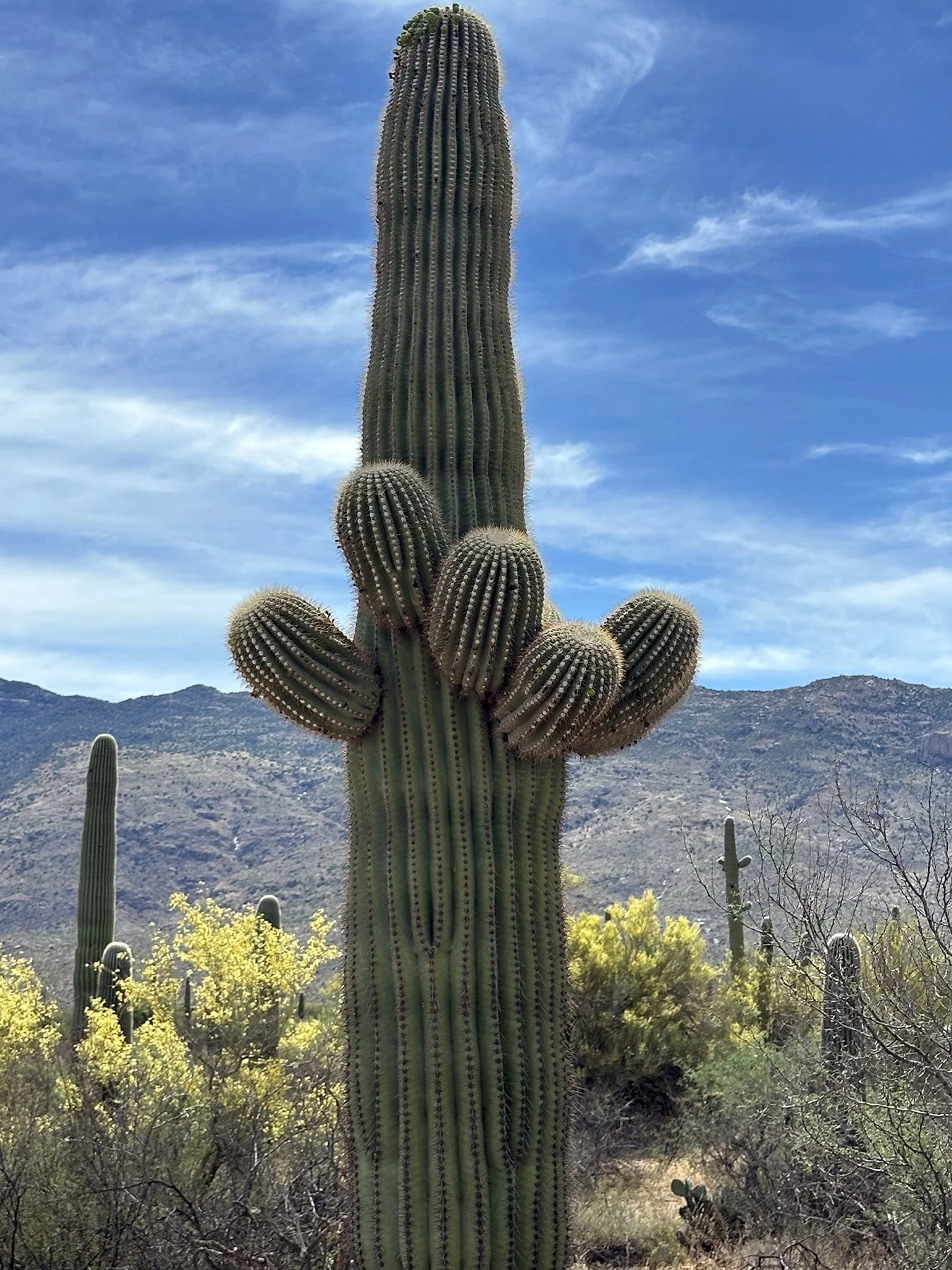
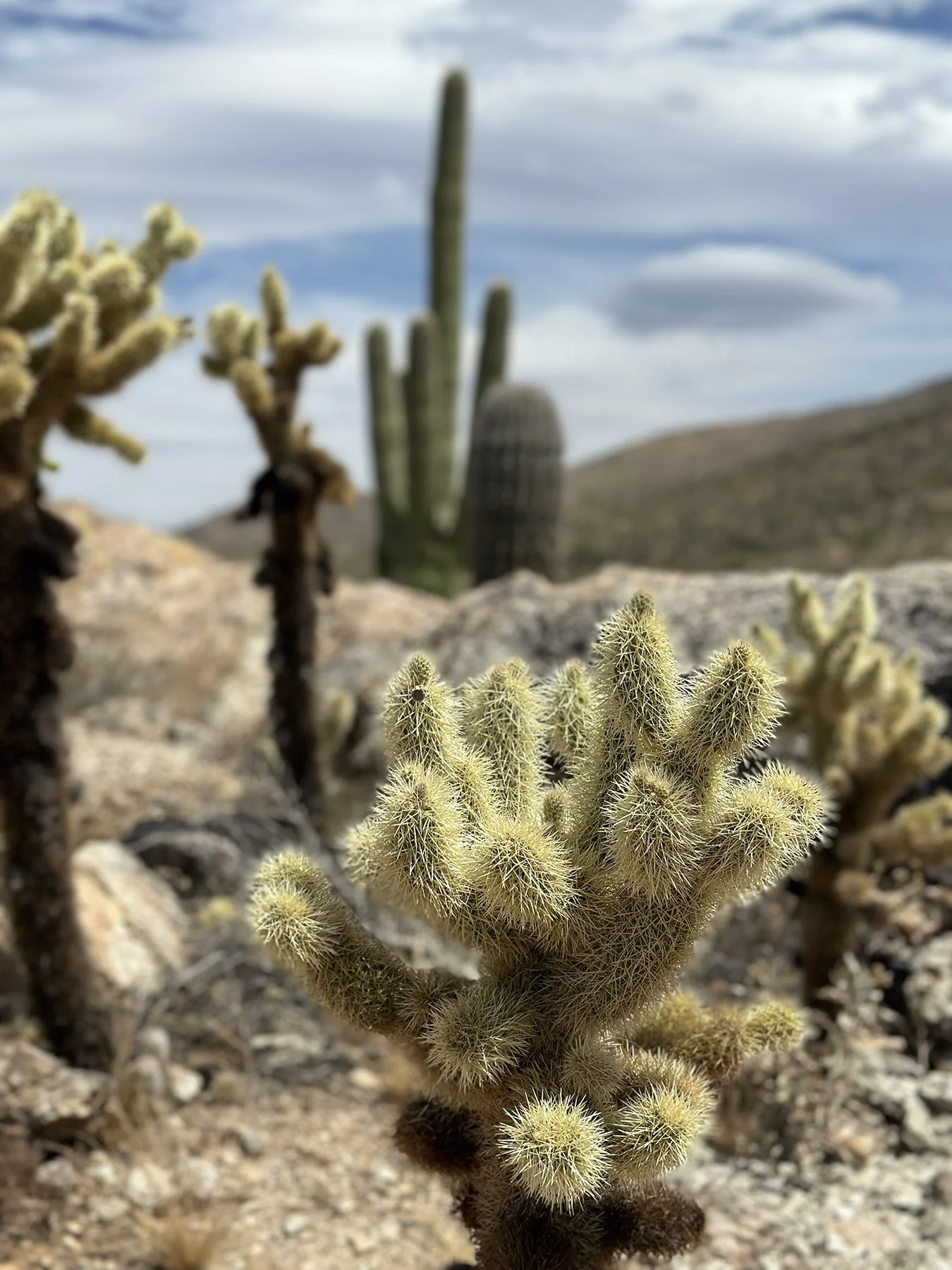
After a 3.5-mile hike down a couple of trails in the park, as well as a climb up a place called Javelina Rocks, we decided to head to the campus of the University of Arizona. If I’ve said it once, I’ve said it a million times, but I just LOVE exploring college campuses! My own college experiences at the University of Tennessee were mostly incredible. While walking around the Arizona campus, I remembered that I actually had been here once before. My volleyball team at UT played the Wildcats here my junior year. In the week leading up to the match, I remember attending a mid-week post-match concert at Tennessee’s Alumni Gym; I’m pretty sure it was actually the Stray Cats! I always had my camera with me, documenting all the amazing trips we were able to take as collegiate athletes. So of course I wanted to take pics of the concert! I decided I needed a little better vantage point, so I stood on top of a folding chair (yes, one of those old metal folding chairs), and somehow managed to lean back too far and fall, bruising the hell out of my hamstring. What a dunce. But the next few days saw the whole back of my leg turn all shades of black, brown and purple. I’m only reliving this now with you because the main reason I even remember it is the match we had at Arizona that next weekend—a group of frat boys at the match decided to call me “Hematoma Woman” and were so loud. I’m serious, y’all, I had my own fan club! How embarrassing. But truly hilarious.
So, yeah, I remember the University of Arizona. :D
And you know I can’t resist exploring the athletic facilities; Maisie and I walked completely around the football stadium—and yes, we might even have snuck in to get a peak of the field. (I mean, there was a padlock on the gate, but it wasn’t engaged, so, well, we did what we had to do.) The whole campus was quite beautiful, with gorgeous palm trees surrounding lush green lawns and typical college lecture halls, dorms and student centers.
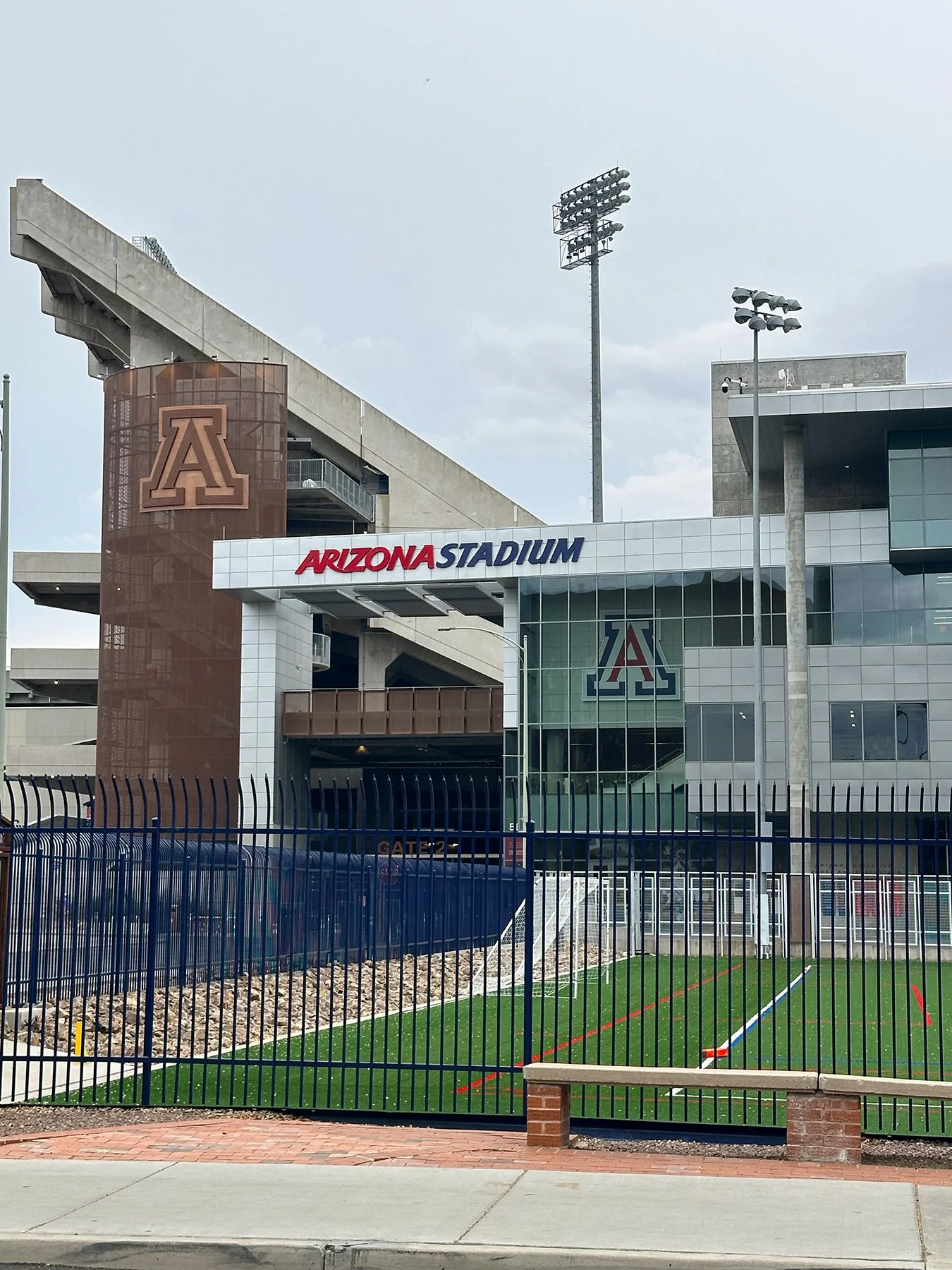
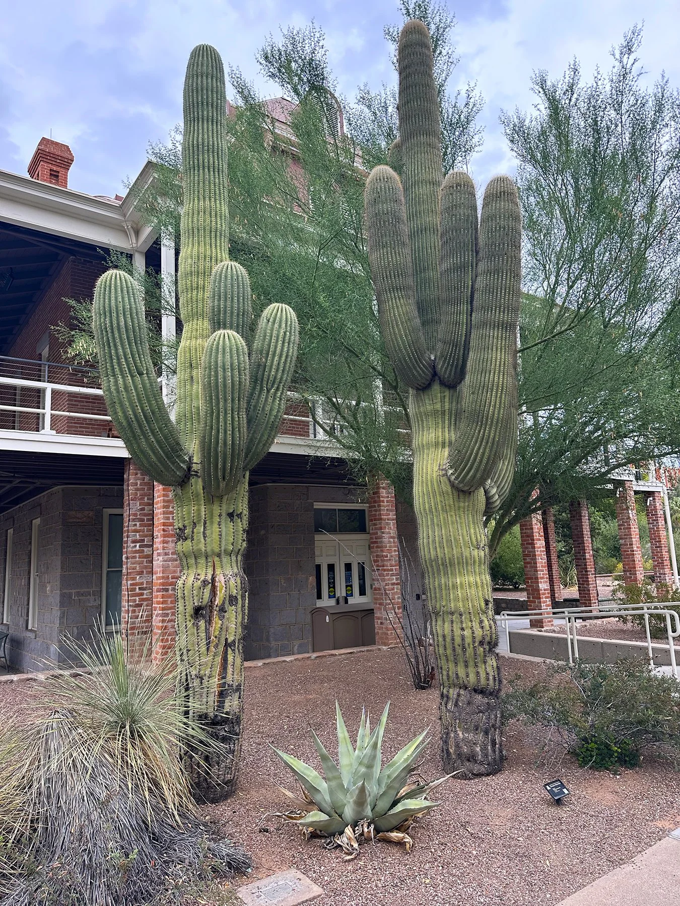

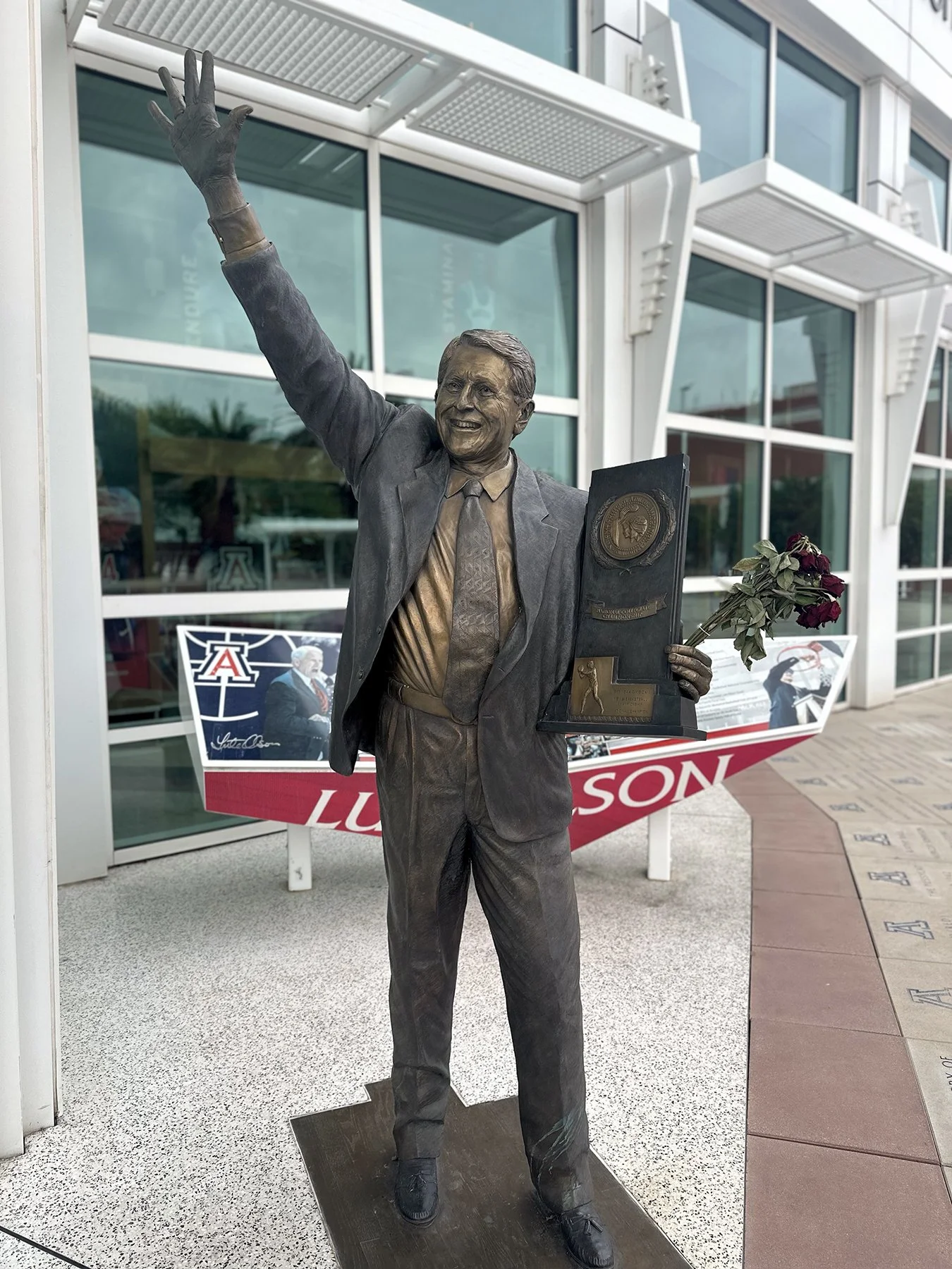
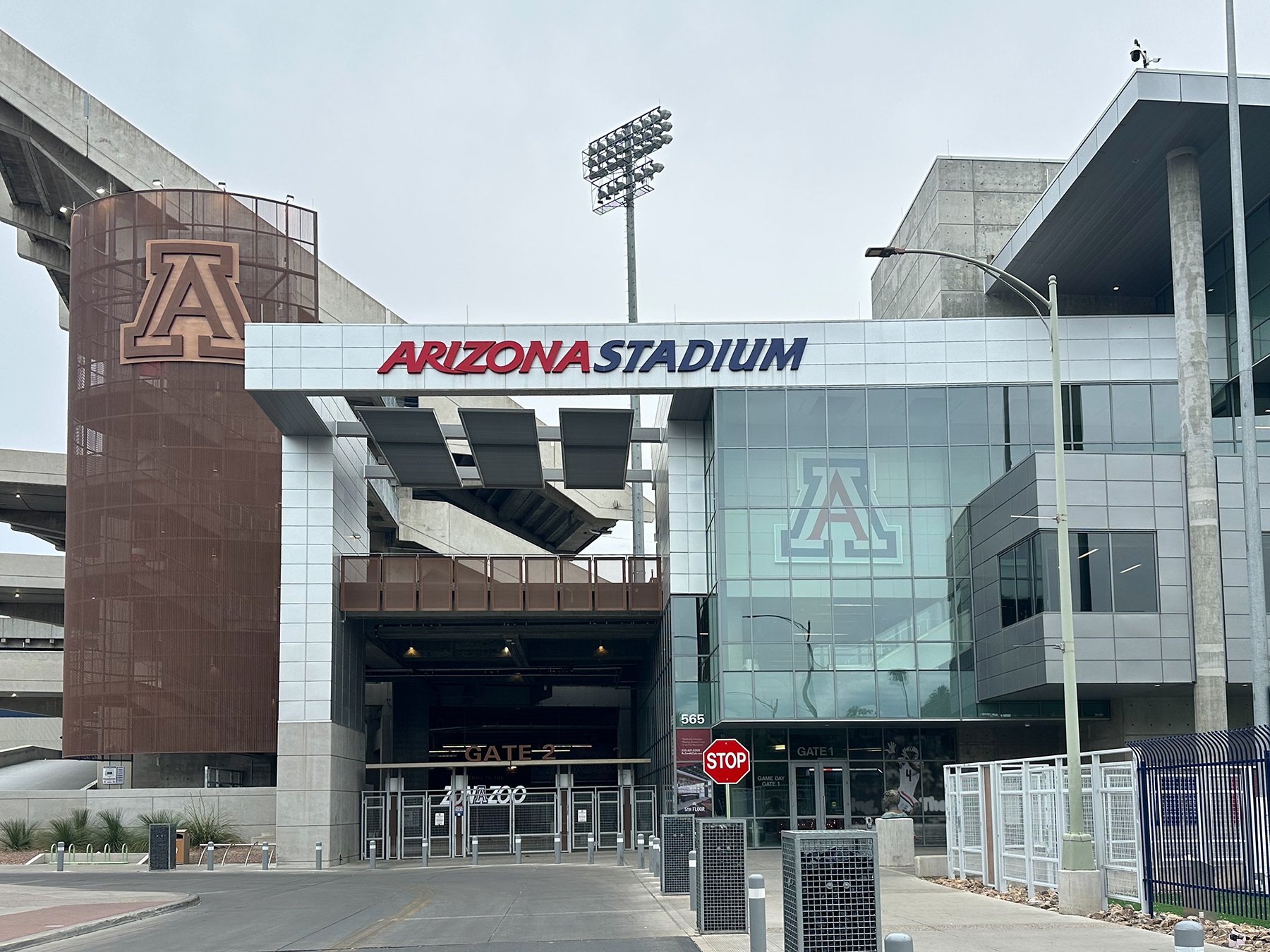

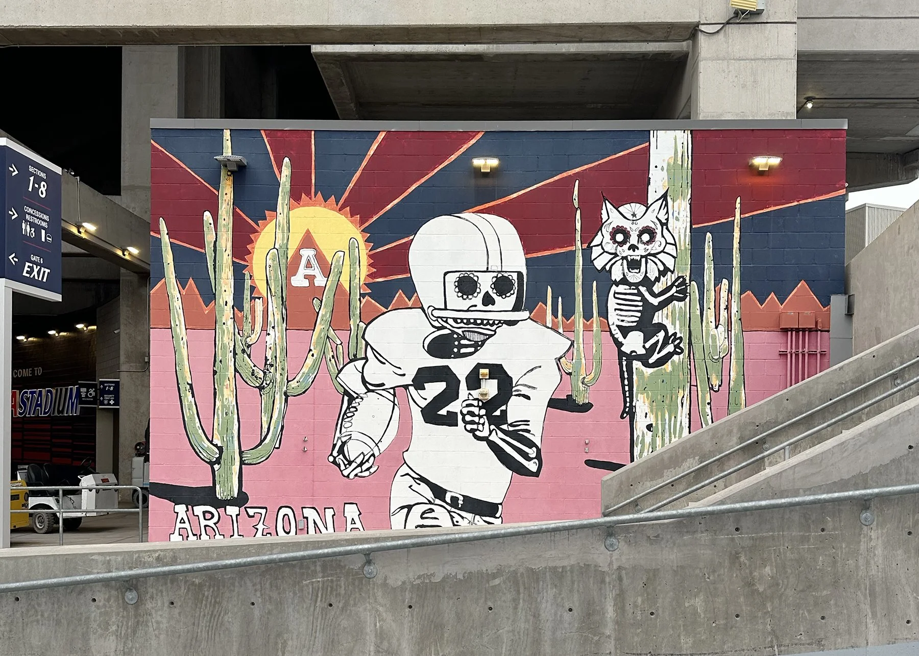

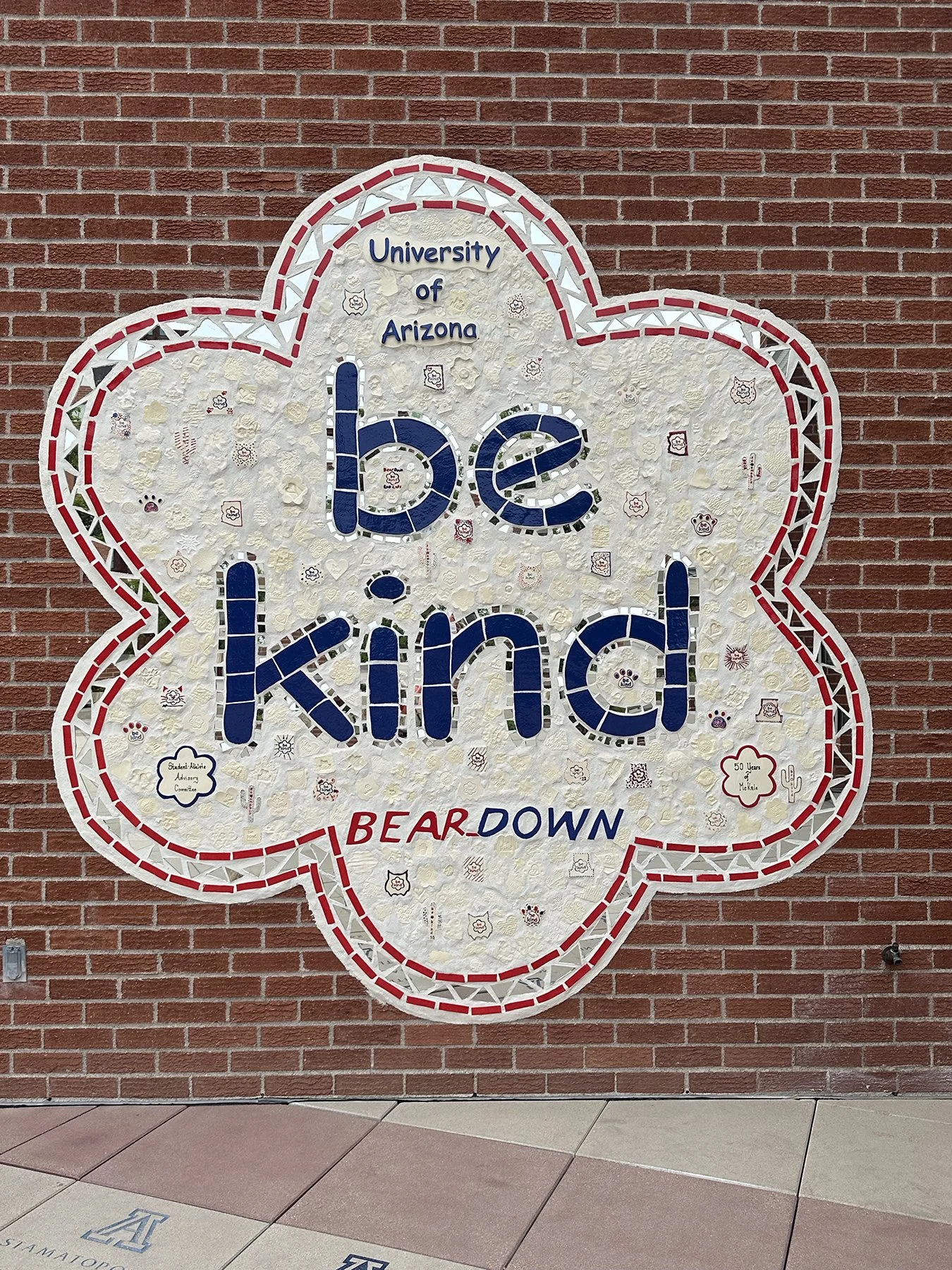
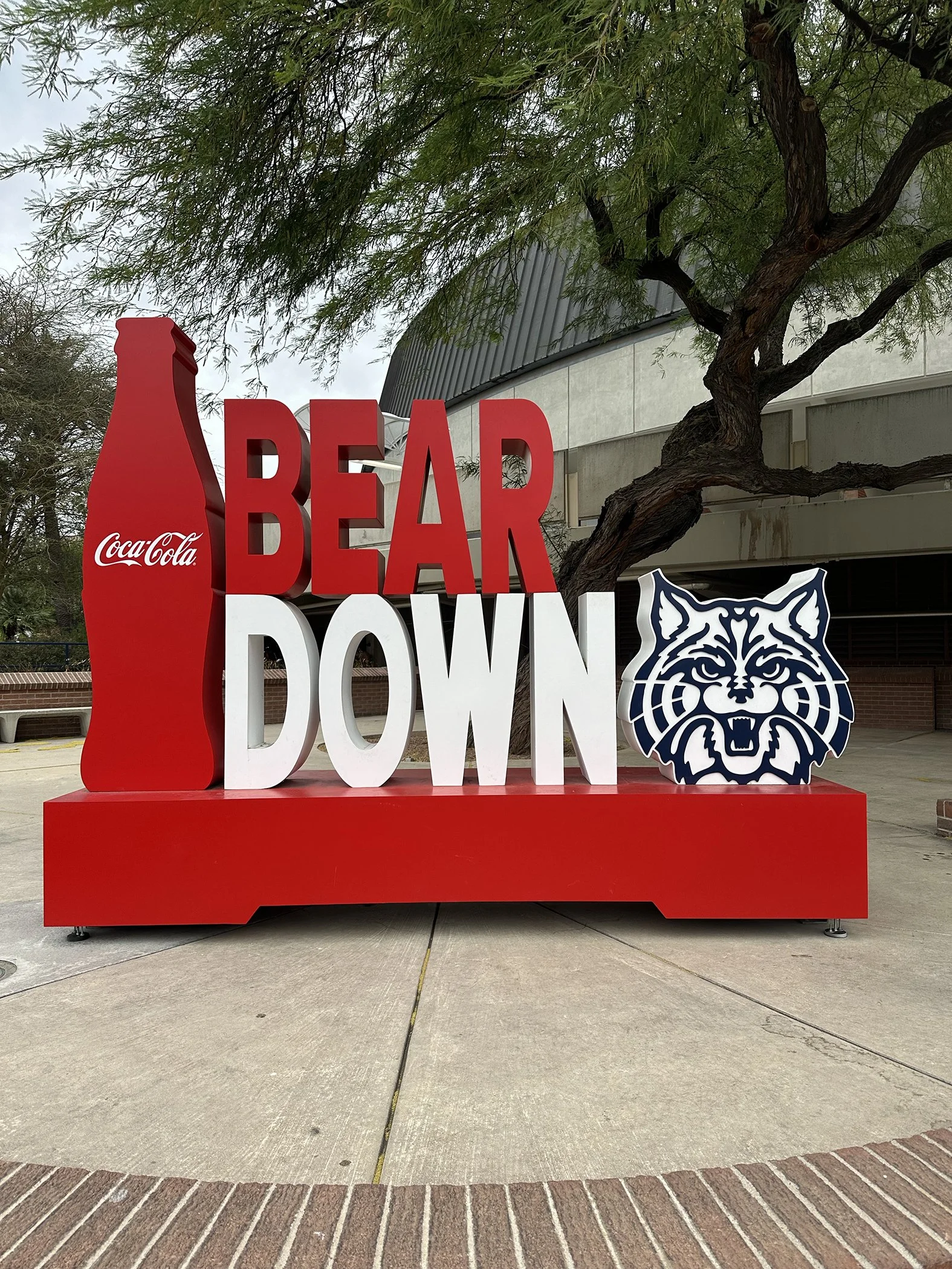
We’re still not done with our Day One exploring! Craving local ice cream (a favorite during my travels), we headed to the entertainment district in downtown Tucson, which was quite similar to Austin TBH. Parts of it were super funky, and I was impressed with the quality of art found on many of the buildings in the form of giant murals. Tucson is actually a UNESCO Food City (yes, really!)—being named the first U.S. UNESCO Creative Cities Network City of Gastronomy. Who knew? Unfortunately, by this time, we were too pooped to experience some of the cuisine they are known for (plus, with a dog, it can be a bit of a challenge). 17,328 steps later, and we were ready to call it a day.
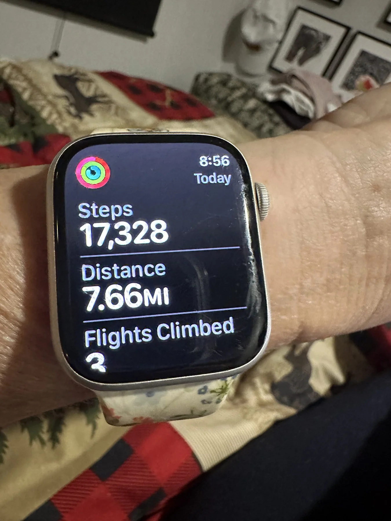
What will tomorrow bring?
I-10 Forever
Even if you’ve never been to Texas. or perhaps live there but don’t venture out to other states much, you know that Texas is BIG. Someone once told me if you flip the state up, it would touch Canada. To the right? The Atlantic Ocean. Left? Pacific Ocean. Like, BIG, y’all. And while I normally don’t like to drive more than 4 hours in any given day, at this particular juncture, I just wanted to get to the West Coast more quickly, so I decided a few long driving days wouldn’t be the worst thing in the world. Now wrapping up my third day on the road, I feel like I’ve spent all of the last 3 days on I-10. And that’s because I have essentially spent all of the last 3 days on I-10! Podcasts have become my new best friend :D. Two of those days was just getting out of Texas. Seriously, y’all—have I said that Texas is a BIG state?
We stayed at a funky little RV park in Fort Stockton, which actually was a little gem in the middle of a giant desert of … nothingness. Have you been to West Texas? Endless horizons of desert land dotted with brush, cactus and tumbleweed. I-10 stretched out in front of your forever. Some mountain vistas and canyons far in the distance—like the Glass Mountains, Davis Mountains, and the Sierra Diablo Mountains—with jagged edges and huge rock formations. It really is its own kind of pretty.
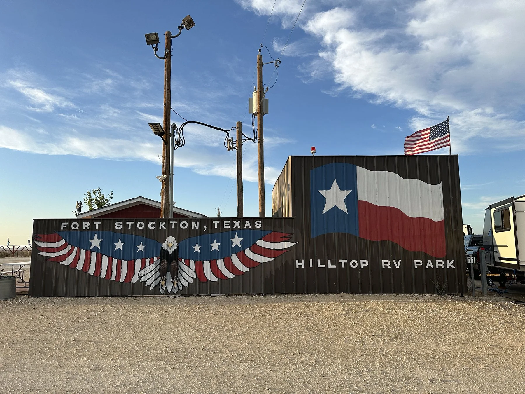
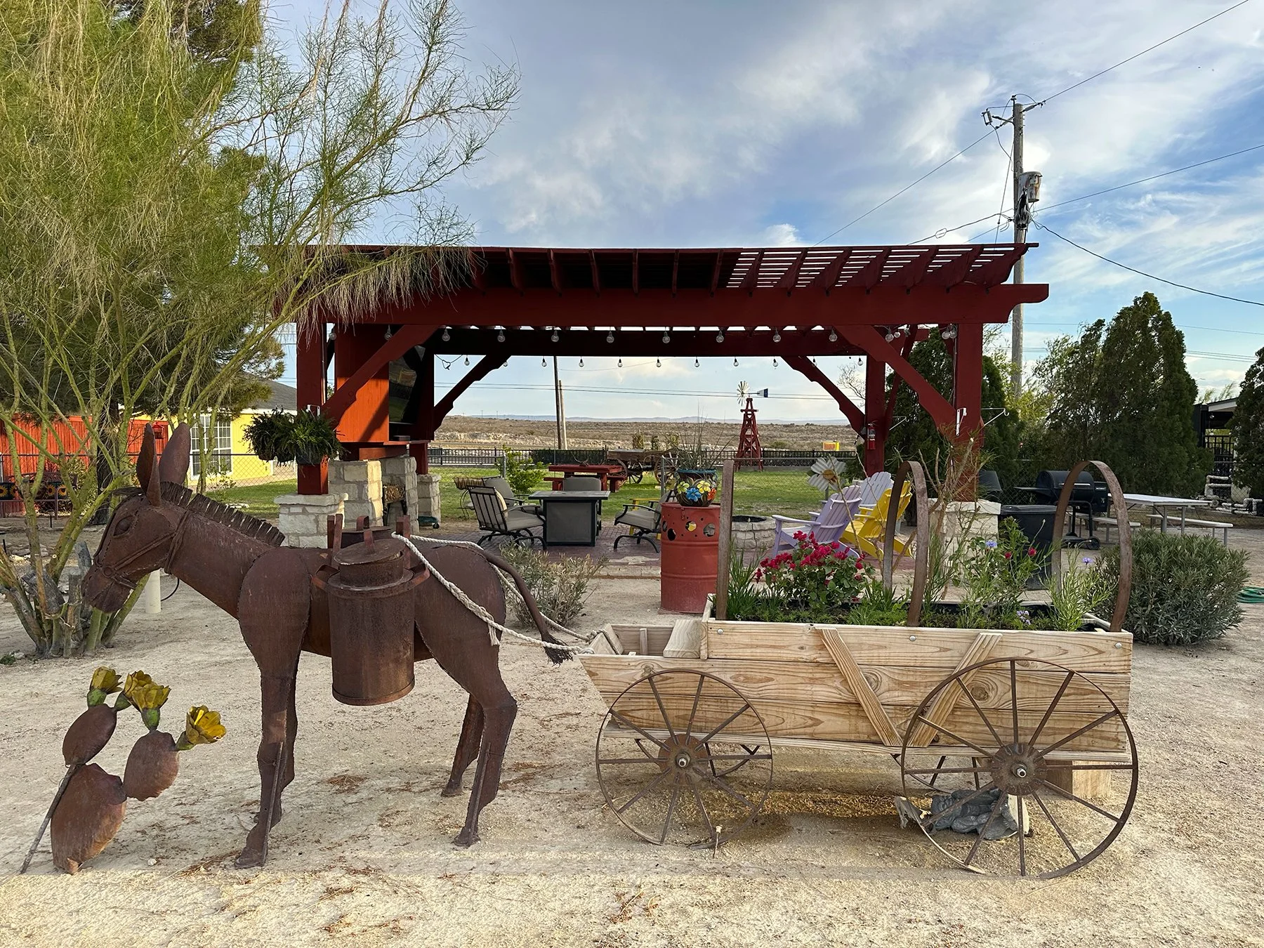
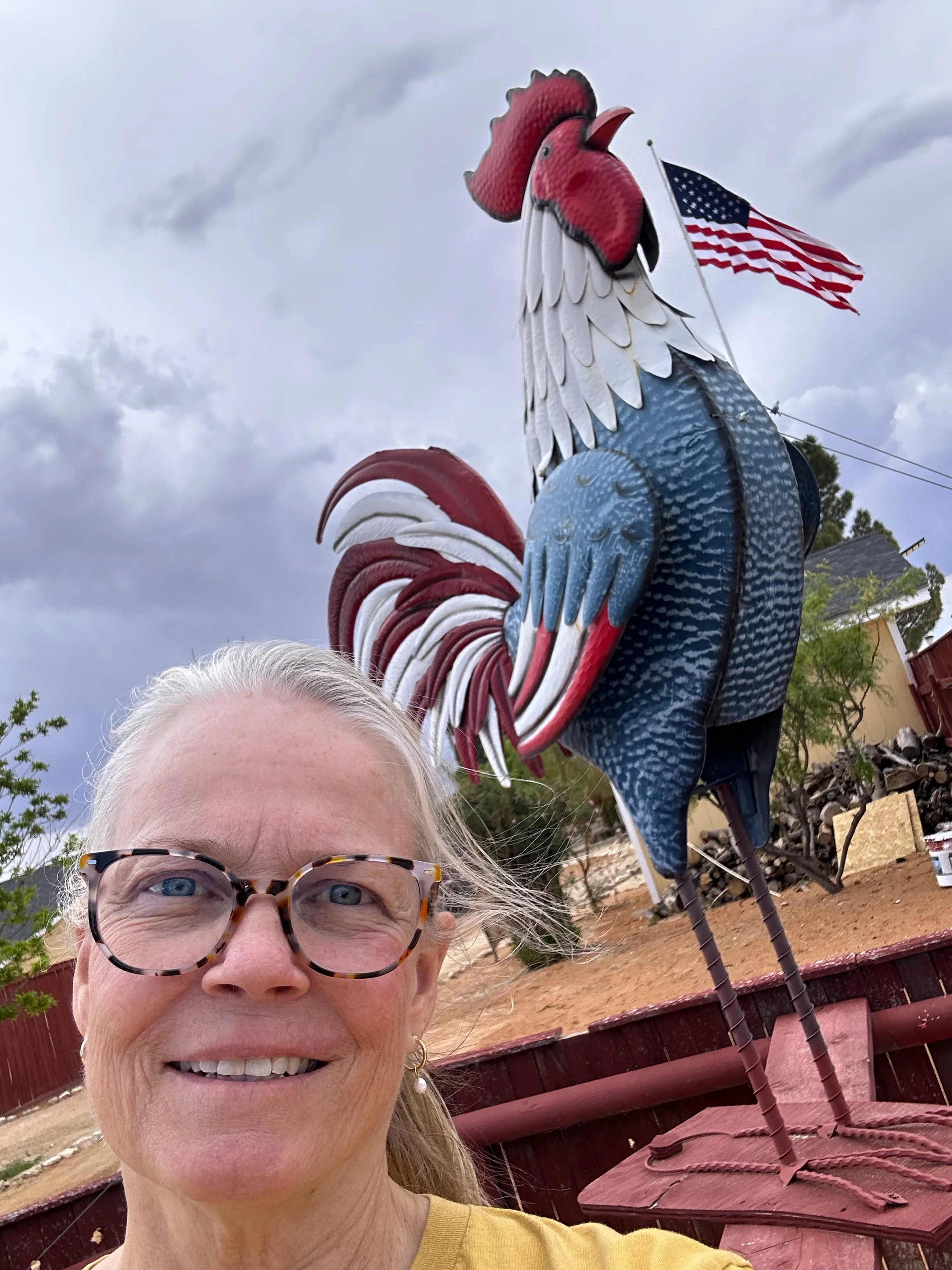
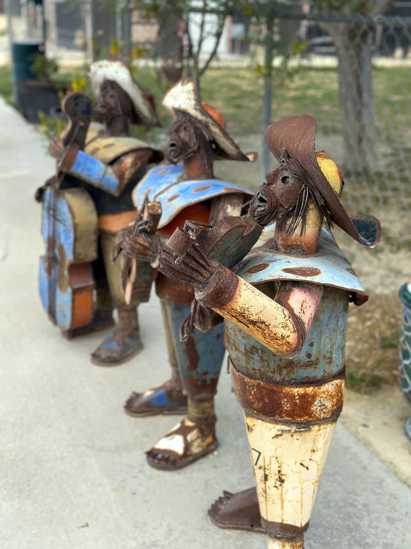
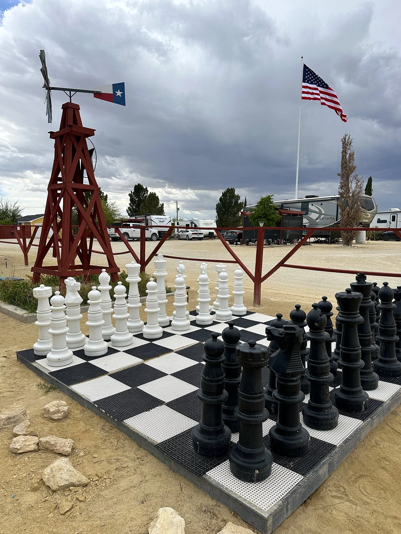
This first blog will probably be a little boring, because like I said, it was mostly spent driving lonely highways. Day 2 found us traversing the rest of West Texas, all the way through El Paso. It’s a LOOOOONG way. We stayed at a lovely state park outside of Las Cruces, New Mexico. Best sign of the day? “Watch for snakes. They’re watching you.” Welcome to New Mexico, amIright?!! Second best sign? “We like big nuts and we cannot lie! – Pistachio Land, New Mexico” billboard. ;D
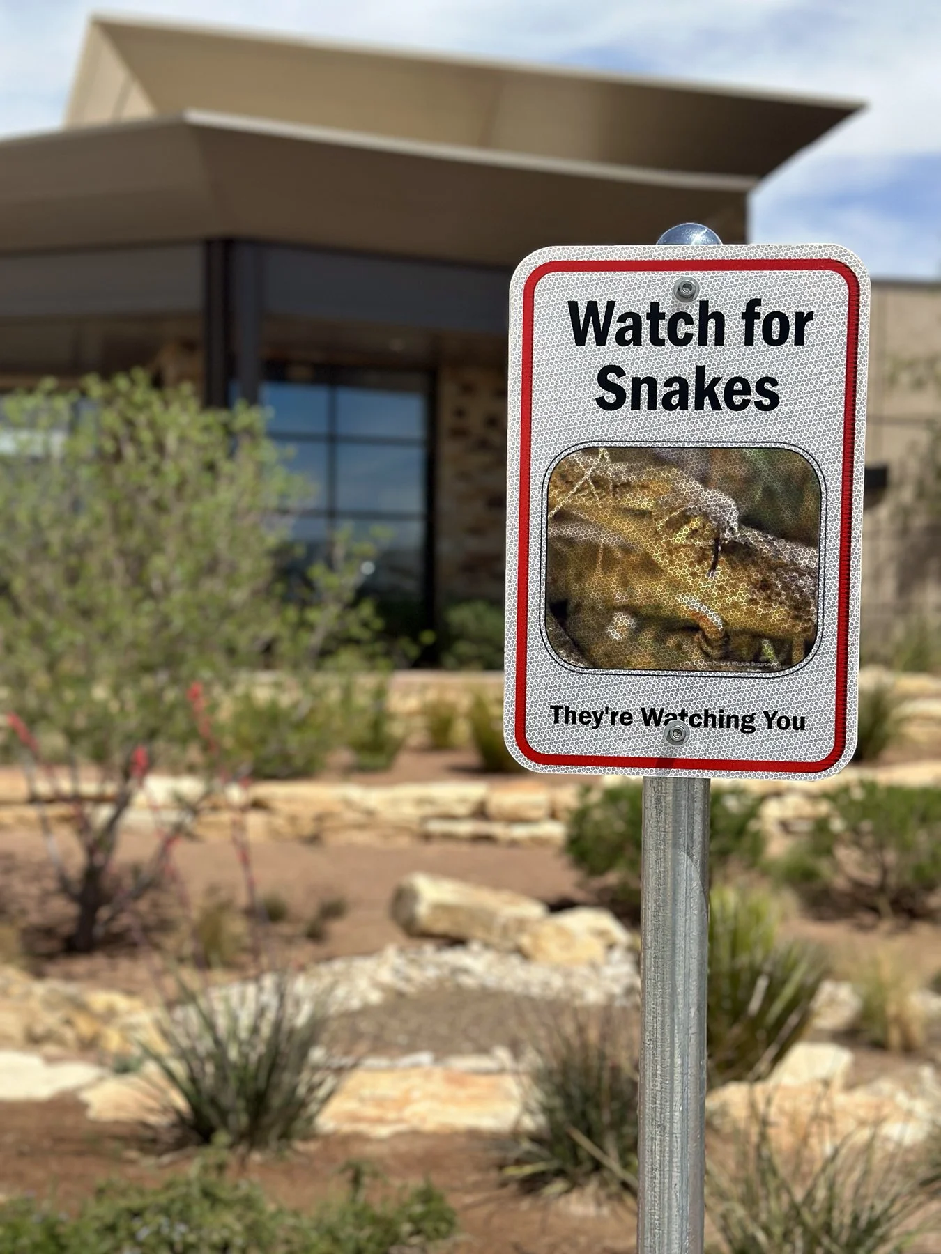
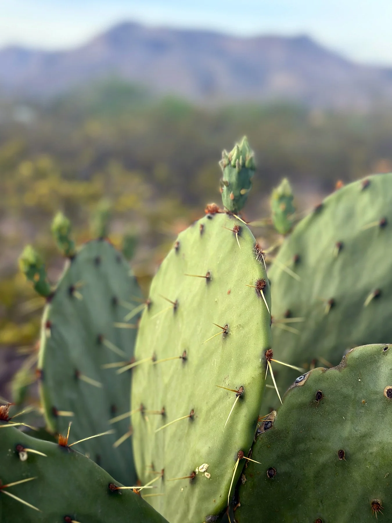
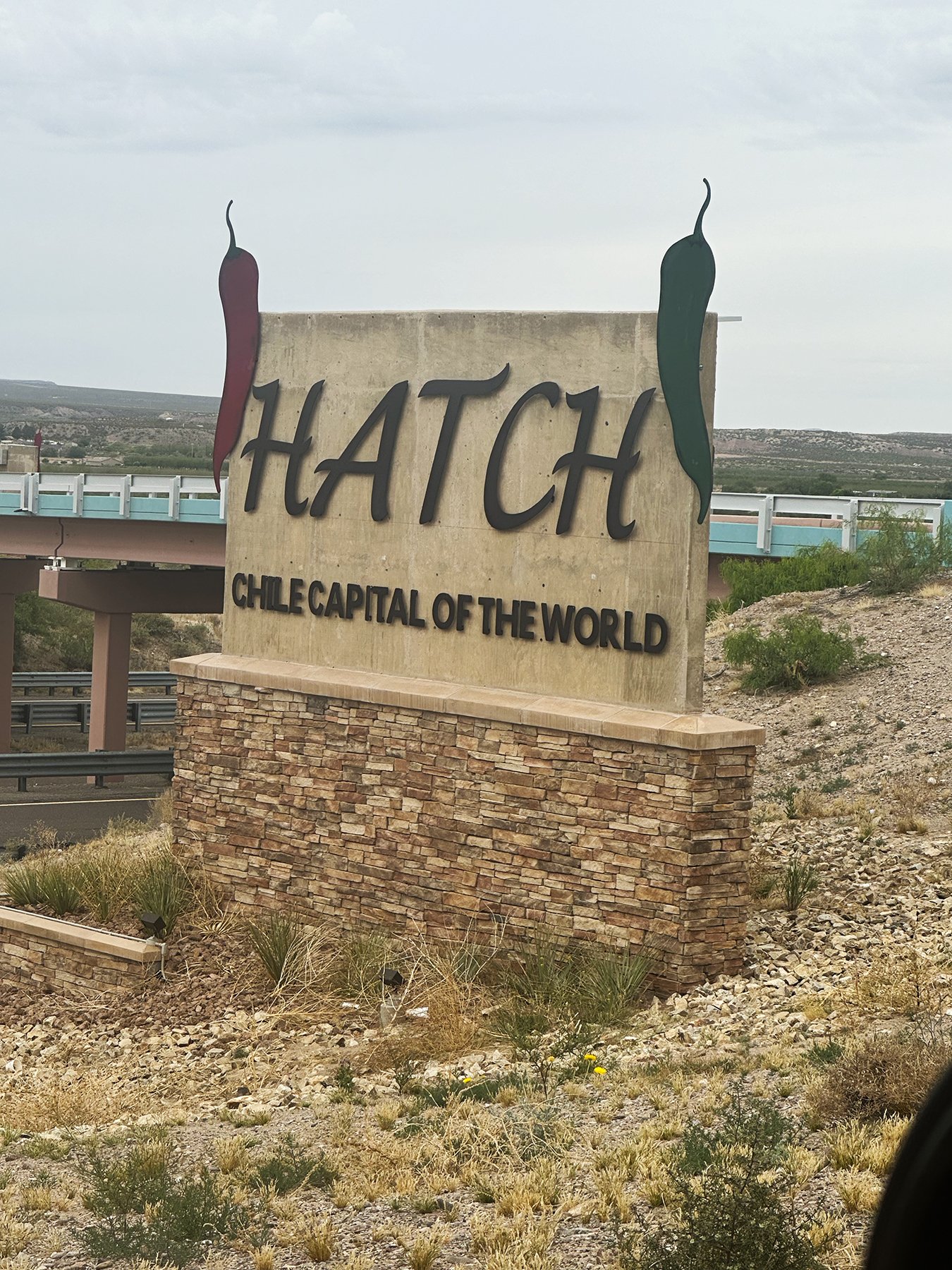
Day 3 took us through the rest of New Mexico over to Tucson, Arizona, which greeted us with another great sign: Poisonous snakes and insects inhabit the area. What am I getting myself into?!! Have I mentioned that I am a city girl?
Anyway, we arrived at our next desert oasis RV park early enough to take a wonderful, much-needed shower and nap before heading out on a 3-mile hike to take in a magnificent sunset at Lincoln Regional Park. Even though I’m anxious to get to California, I decided to stay in the Tucson area for four whole nights so we can explore Saguaro National Park and the surrounding area. Can’t wait!
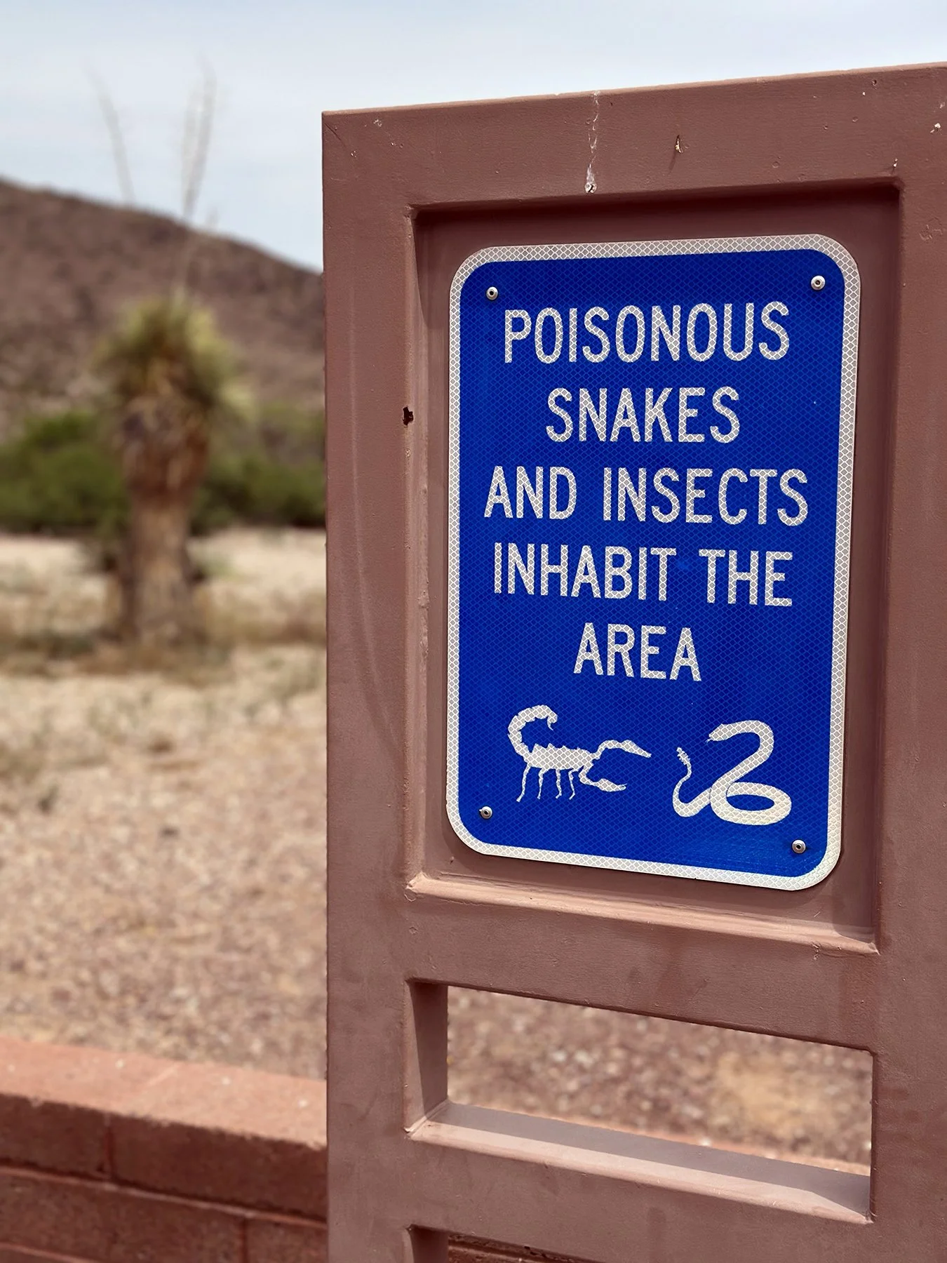
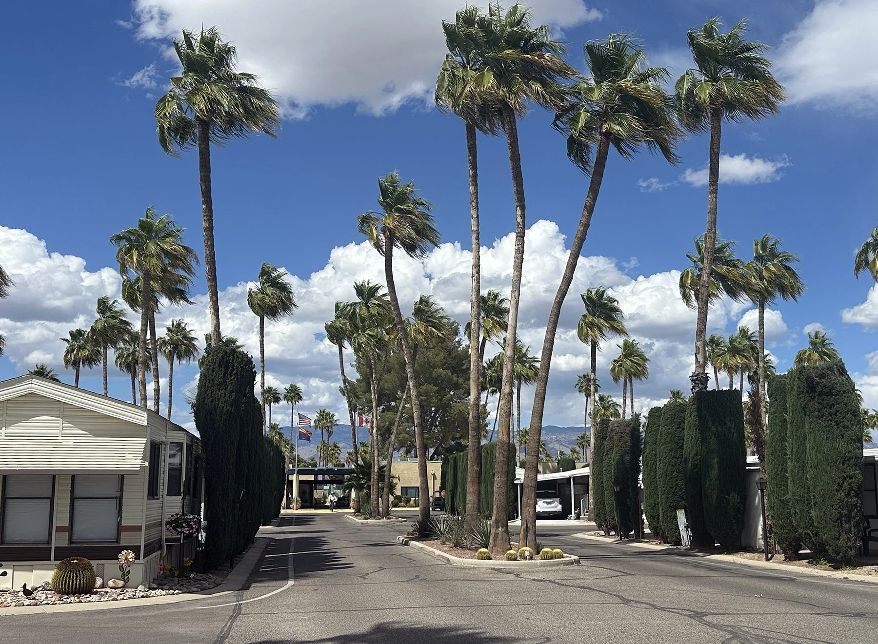
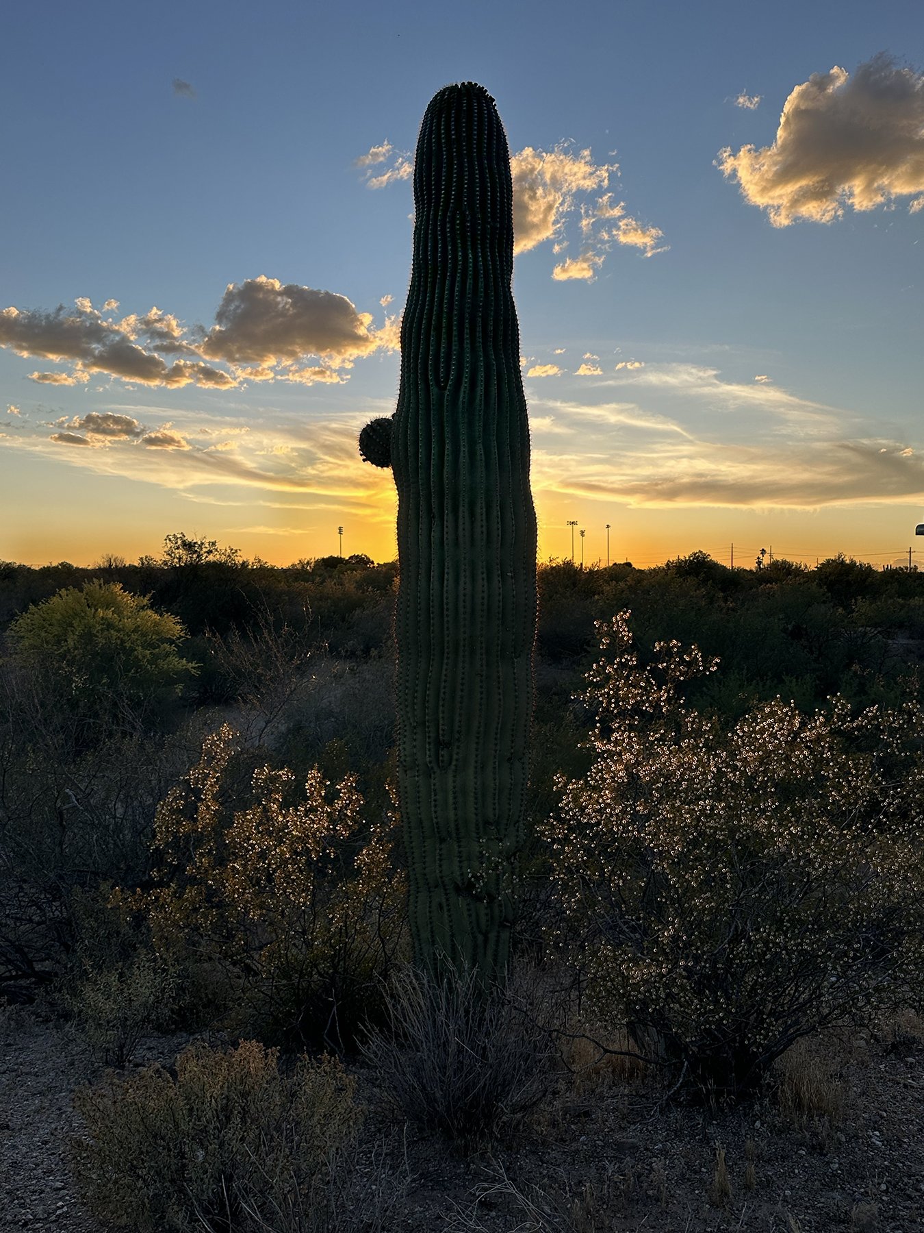
Until then …
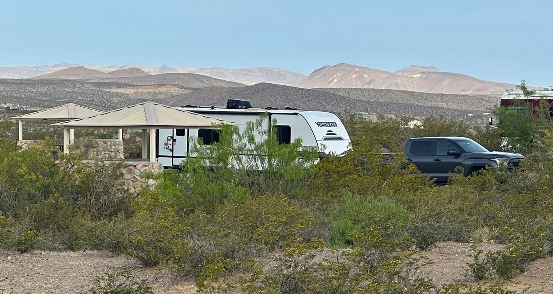
On the Road Again …
Well, friends, here I am again. Who knew when I set off on my first RV adventure 10 months ago that I’d be super excited to do it all over again? I wasn’t sure I was even going to like it, you know? But I guess I had an inkling. I mean, not too many people would sell their house, buy an RV and plan a 14,000+, 5-month, 31-state adventure and expect not to like it, right?
I am definitely hooked. At least for this season of life. If you’re not totally familiar with the impetus for these adventures, let me fill you in. Back in June of 2024, I lost my beloved husband of almost 33 years after a long illness. Then I lost my post-retirement job (and a third of my income), and became in empty nester, all within 6 months. It was a rough time, a lonely time. But I didn’t want the adversity to define me, or to spend my days feeling sorry for myself, or wondering Why me? Why Michael?
That’s just life. My faith in God and my family got me through those times. Now it was time to make some lemonade after processing those sour lemons. So make lemonade, I did! My friends encouraged me to keep a blog of that trip, so they could ‘live vicariously through me’ … no pressure, right? And I’m so glad I did! I faced so many new adventures each and every week that there was no way I could remember everything. I ended up turning it into a book, and called it Driving Miss Maisie, because my beloved Goldendoodle Maisie made all the difference in the world on that trip. She’s so special, and I’m so excited to have her by my side when we explore a whole other part of the country this year! (If you’re interested, the book is available on Amazon here).
I’m so blessed to have loving family members by my side as well. Although both my parents have passed, my three sibs have helped me process those lemons, along with my two daughters. I am especially grateful that my sister Sarah and her husband Tony allowed me to bunk with them after my traveling adventures last year. The quality time we were able to spend together these past 5 months has been truly incredible. I will definitely miss her daily presence in my life but at the same time am looking forward to exploring the Pacific coast!
So, let’s go!